Your search criteria found
12723
images
Target is Mars
Go to PIAxxxxx:
Refine this list of images by:
Target:
Mars
Sun
Titan
Vesta
Mission:
2001 Mars Odyssey
Antarctic Meteorite Location and Mapping Project (AMLAMP)
Cassini-Huygens
Dawn
ExoMars
Hubble Space Telescope
InSight
MAVEN
Mariner Mars 1964 (Mariner 4)
Mariner Mars 1969 (Mariner 7)
Mariner Mars 1971 (Mariner 9)
Mars 2020
Mars 2020 Rover
Mars Atmosphere and Volatile Evolution MissioN (MAVEN)
Mars Climate Orbiter
Mars Cube One (MarCO)
Mars Exploration Rover (MER)
Mars Express (MEX)
Mars Global Surveyor (MGS)
Mars Helicopter
Mars Pathfinder (MPF)
Mars Reconnaissance Orbiter (MRO)
Mars Sample Return
Mars Sample Return (MSR)
Mars Science Laboratory (MSL)
Phoenix
Rosetta
Viking
Spacecraft:
2001 Mars Odyssey
Curiosity
Dawn
InSight Mars Lander
Ingenuity
MAVEN
MarCO-B
Mariner 4
Mariner 7
Mariner 9
Mars Climate Orbiter
Mars Express (MEX)
Mars Express (MEX) Orbiter
Mars Global Surveyor Orbiter
Mars Pathfinder Lander
Mars Pathfinder Rover
Mars Reconnaissance Orbiter (MRO)
Mars Sample Return
Mars Science Laboratory (MSL)
NASA's Mars Pathfinder Lander
Opportunity
Perseverance
Philae Lander
Phoenix Lander
Phoenix Mars Lander
Spirit
Viking Lander 1
Viking Lander 2
Viking Orbiter 1
Viking Orbiter 2
Instrument:
Alpha Particle X-ray Spectrometer
Alpha Particle X-ray Spectrometer (MSL)
Atmospheric Structure / Meteorology Instrument
CHIMRA
Camera 1
Camera 2
Chemistry & Mineralogy (CheMin)
Chemistry and Camera (ChemCam)
Comet Infrared and Visible Analyser (CIVA
Compact Reconnaissance Imaging Spectrometer for Mars (CRISM)
Context Camera (CTX)
Deep Space Network
Descent Image Motion Estimation System (DIMES)
Dynamic Albedo of Neutrons
Dynamic Albedo of Neutrons (DAN)
Gamma Ray Spectrometer - Neutron Spectrometer
Gamma Ray Spectrometer Suite
Hazard Avoidance Camera
Hazard Avoidance Camera (M2020)
Hazard Avoidance Camera (MSL)
Heat and Physical Properties Package (HP3)
High Resolution Imaging Science Experiment (HiRISE)
High Resolution Instrument (HRI)
High Resolution Stereo Camera
Imager for Mars Pathfinder
Imaging Science Subsystem
Imaging Ultraviolet Spectrograph
Imaging Ultraviolet Spectrograph (IUVS)
Instrument Context Camera (ICC)
Instrument Deployment Camera (IDC)
Lander Vision System Camera (LCAM)
Magnetometer
Mars Advanced Radar for Subsurface and Ionosphere Sounding (MARSIS)
Mars Advanced Radar for Subsurface and Ionospheric Sounding (MARSIS)
Mars Climate Sounder (MCS)
Mars Color Imager (MARCI)
Mars Descent Imager
Mars Environmental Dynamics Analyzer (MEDA)
Mars Hand Lens Imager (MAHLI)
Mars Horizon Sensor Assembly
Mars Orbiter Camera (MOC)
Mars Orbiter Laser Altimeter
Mars Radiation Experiment
Mastcam
Mastcam-Z
Microscopic Imager
Microscopy Electrochemistry and Conductivity Analyzer (MECA)
Miniature Thermal Emission Spectrometer
Moessbauer Spectrometer
Navigation Camera
Navigation Camera (M2020)
Navigation Camera (MSL)
Neutral Gas and Ion Mass Spectrometer
Neutron Spectrometer
Optical Microscope
Panoramic Camera
Planetary Instrument for X-ray Lithochemistry (PIXL)
Radar System
Radiation Assessment Detector (RAD)
Radio Science Subsystem
Robotic Arm
Robotic Arm (MSL)
Robotic Arm Camera (RAC)
Rock Abrasion Tool (RAT)
Rover Cameras
Rover Environmental Monitoring Station (REMS)
Sample Analysis at Mars (SAM)
Scanning Habitable Environments with Raman & Luminescence for Organics and Chemicals (SHERLOC)
Seismic Experiment for Interior Structure (SEIS)
Shallow Subsurface Radar (SHARAD)
Stereo Imager (SSI)
SuperCam
Surface Stereo Imager (SSI)
Thermal Emission Imaging System
Thermal Emission Spectrometer
Thermal and Electrical Conductivity Probe
Thermal and Evolved Gas Analyzer
Trace Gas Orbiter
Visual Imaging Subsystem
Visual Imaging Subsystem - Camera A
Visual Imaging Subsystem - Camera B
Wide Field Planetary Camera 2
Click on an image for detailed information
Click on a column heading to sort in ascending or descending order
My
List
Addition Date
Target
Mission
Instrument
Size
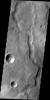
2011-10-25
Mars
2001 Mars Odyssey
THEMIS
1388x2812x1
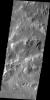
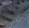
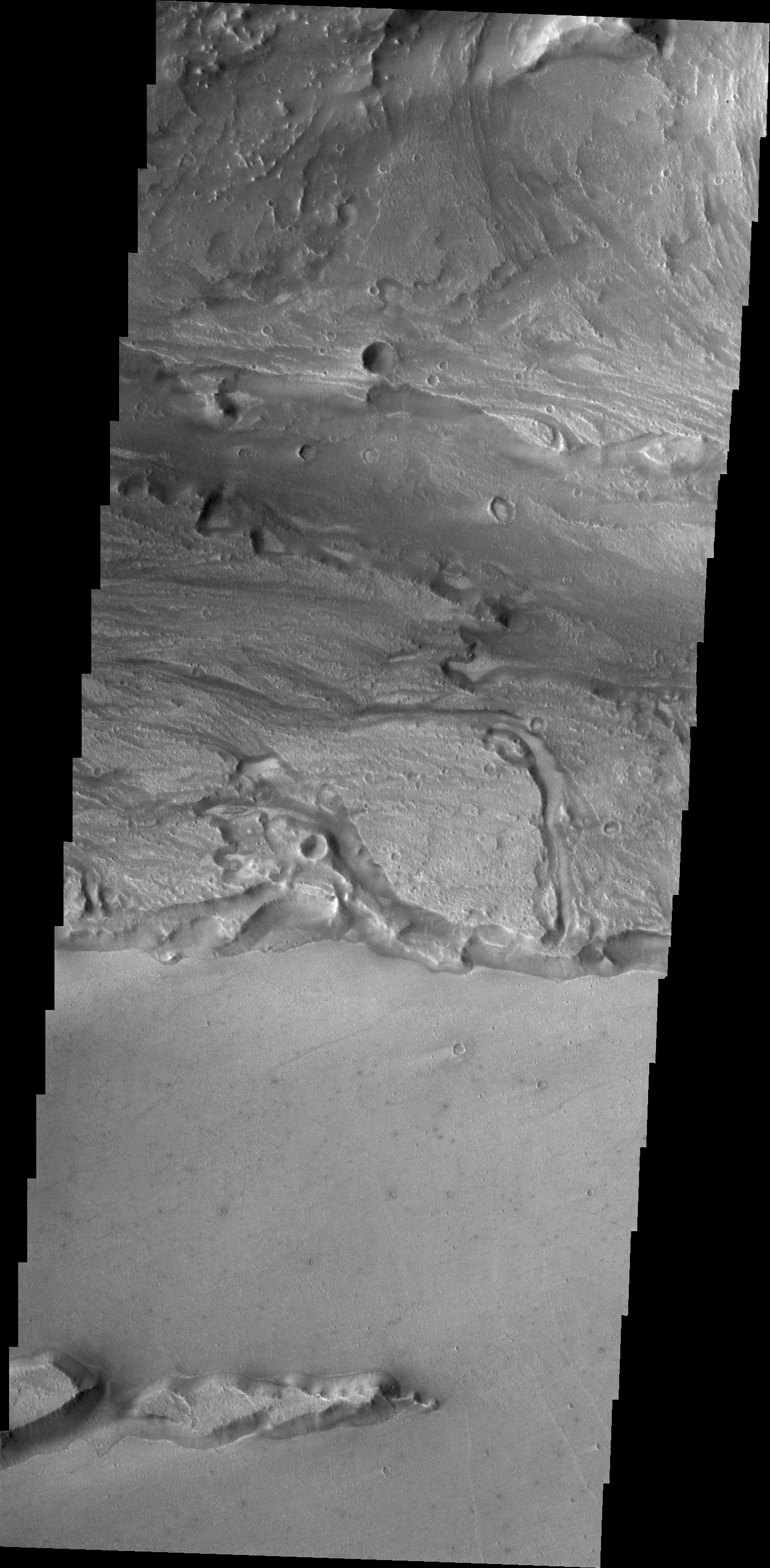
PIA14971:
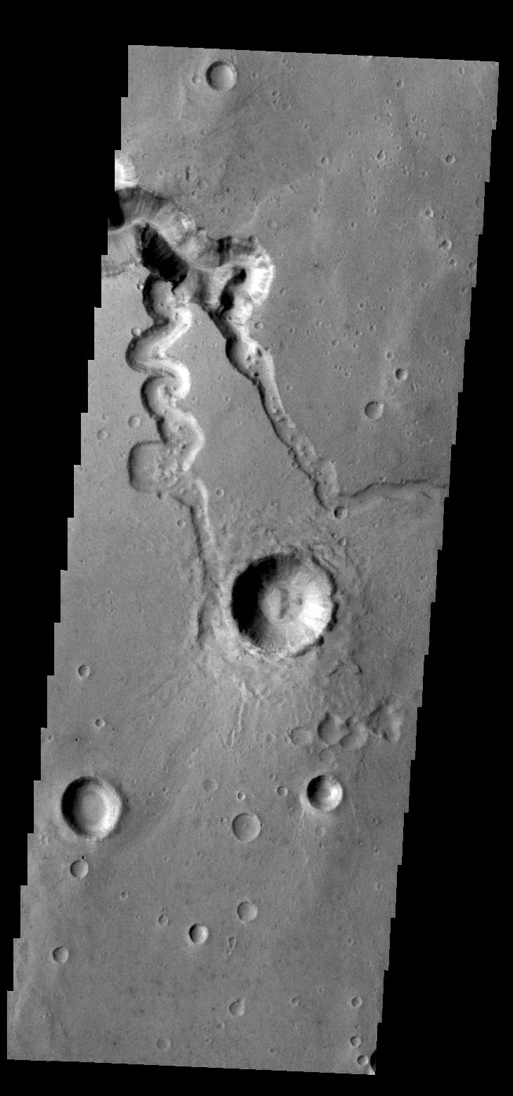
Crater Rim Channels
Full Resolution:
TIFF
(3.908 MB)
JPEG
(320 kB)
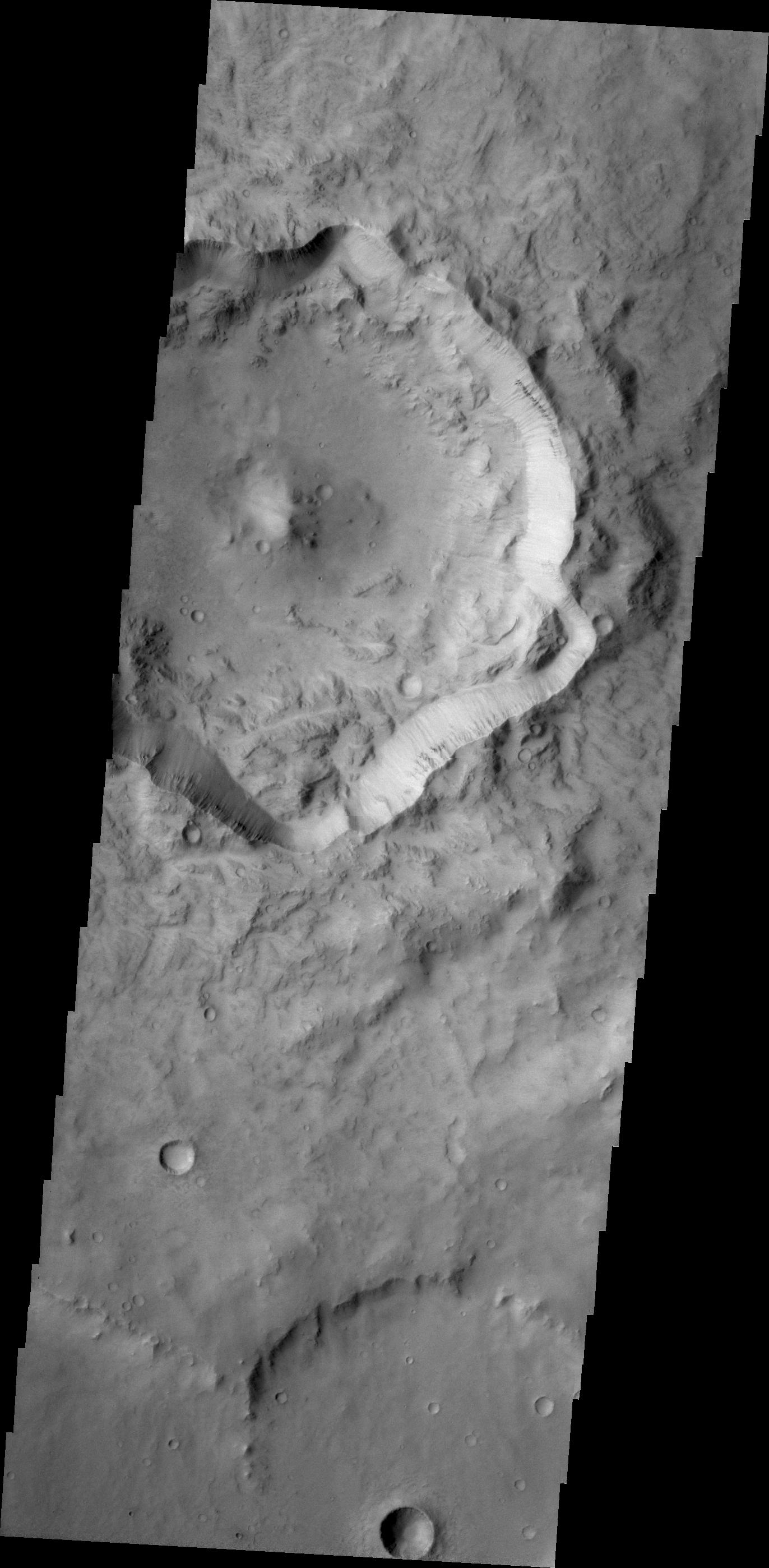
2011-10-26
Mars
2001 Mars Odyssey
THEMIS
1372x2796x1
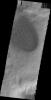
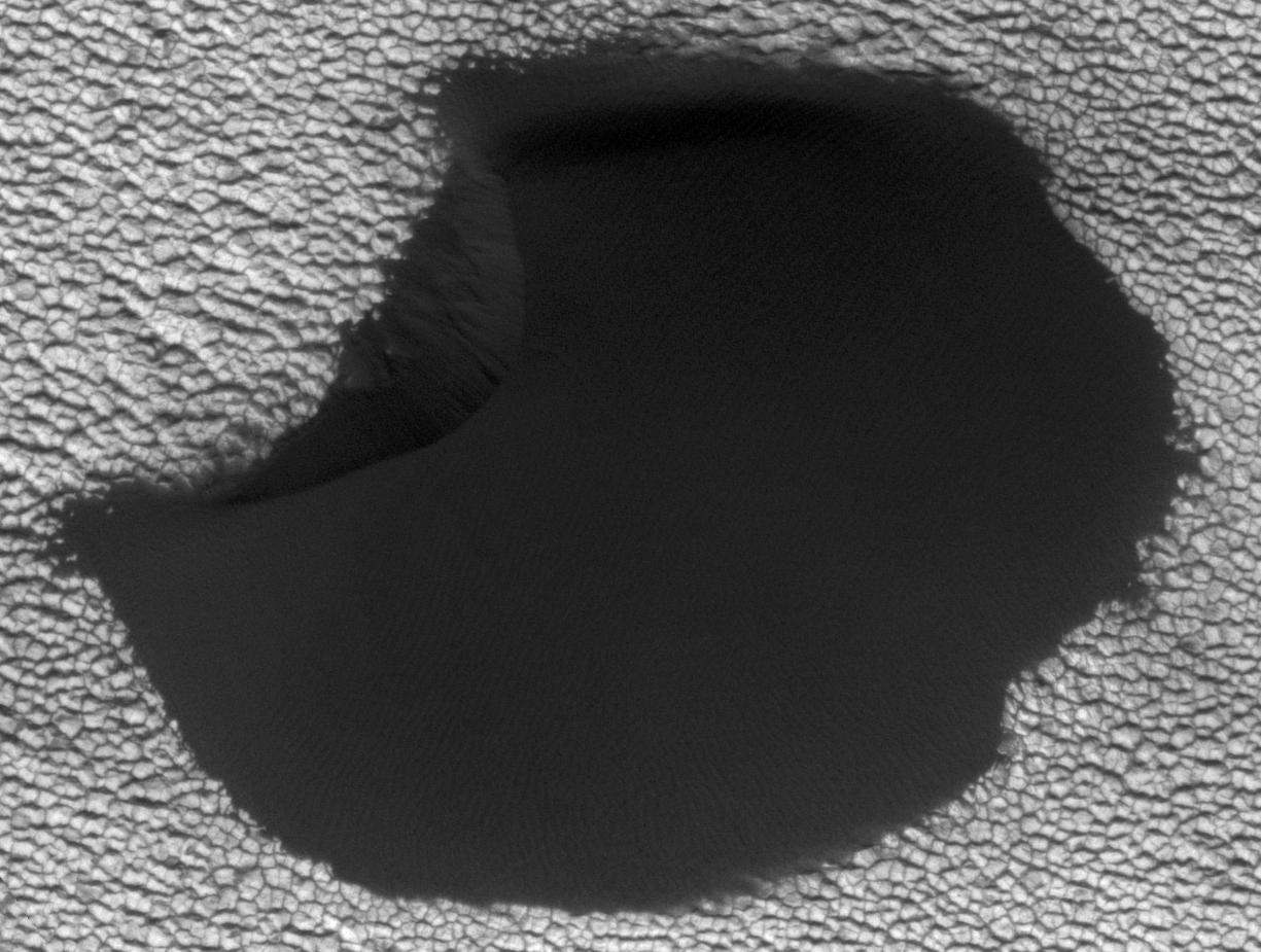
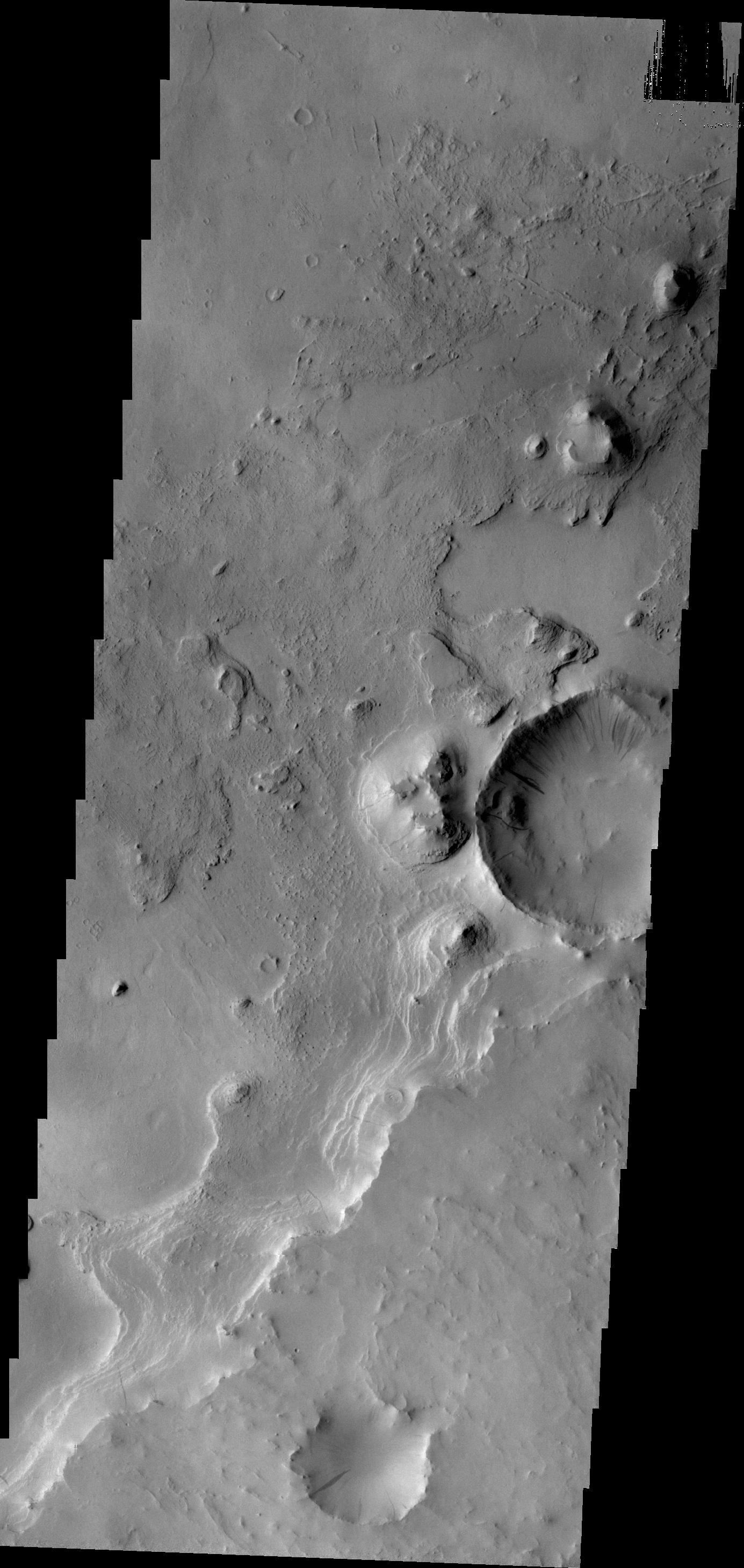
PIA14980:
Out of Round
Full Resolution:
TIFF
(3.841 MB)
JPEG
(311.3 kB)
2011-10-27
Mars
2001 Mars Odyssey
THEMIS
705x1545x1
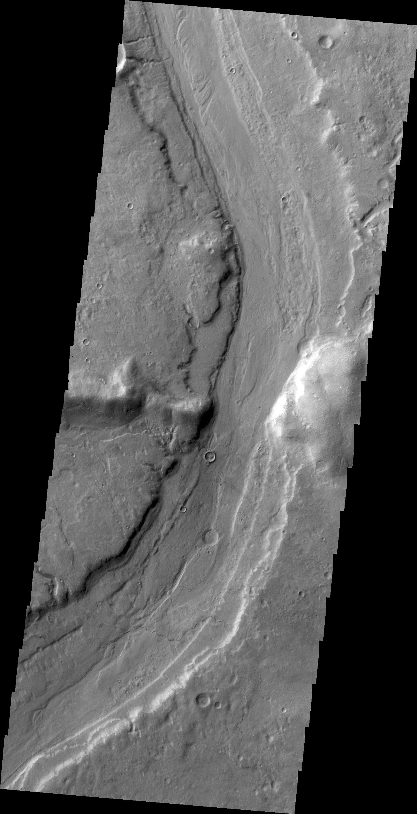
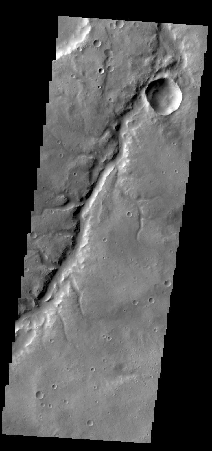
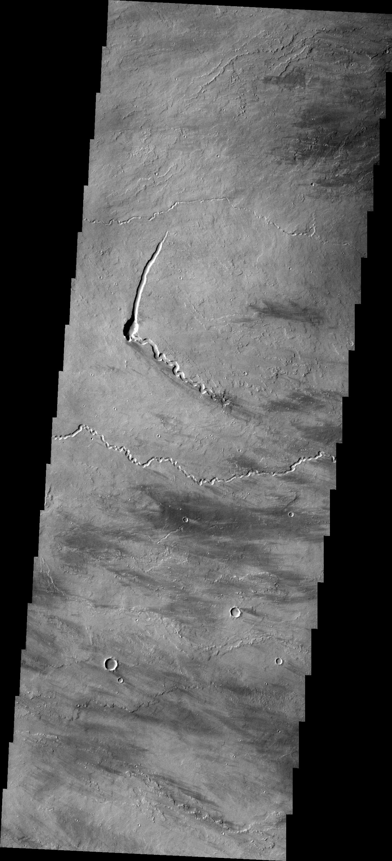
PIA14981:
Channel
Full Resolution:
TIFF
(1.091 MB)
JPEG
(88.88 kB)
2011-10-28
Mars
2001 Mars Odyssey
THEMIS
1279x2784x1
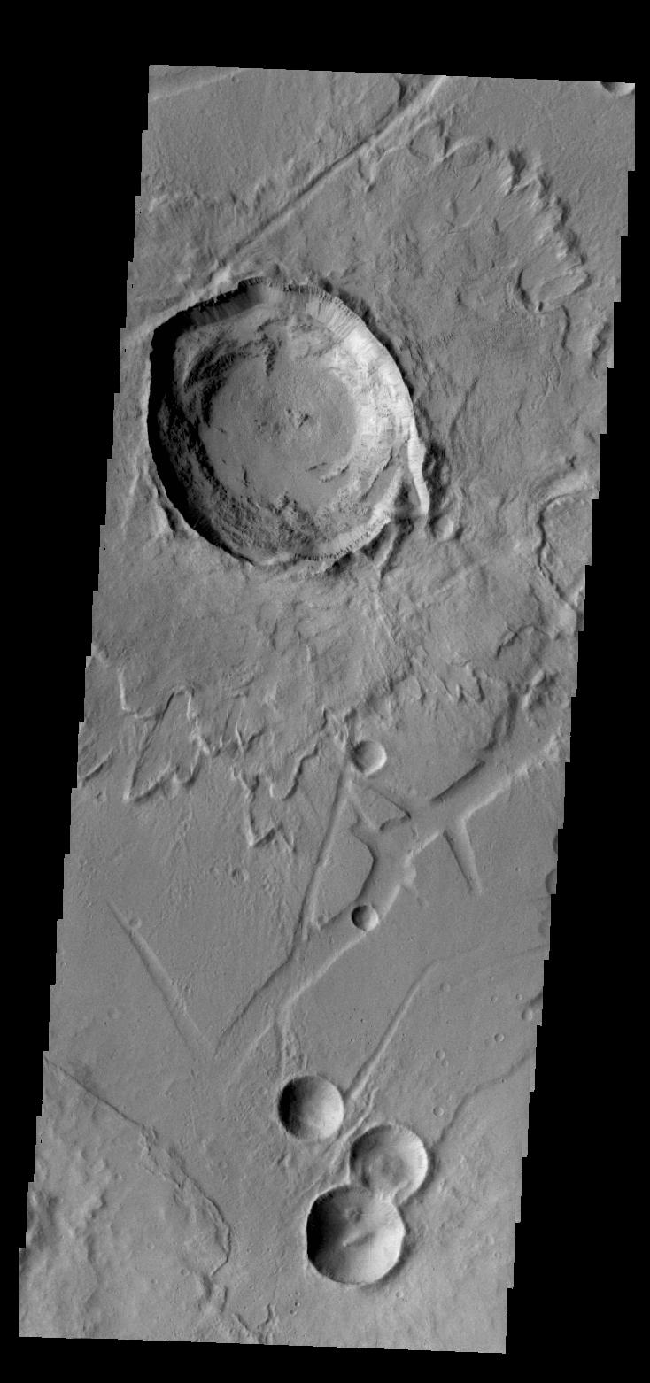
PIA14982:
V43109001
Full Resolution:
TIFF
(3.565 MB)
JPEG
(159.1 kB)
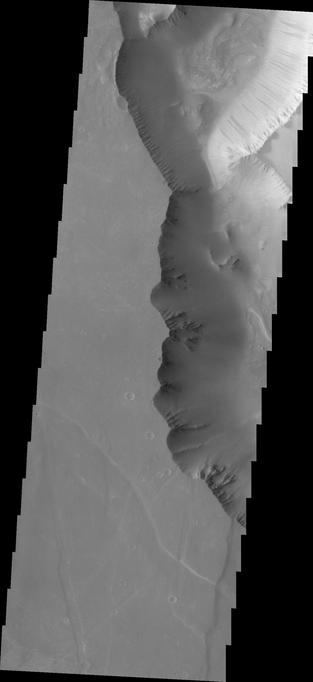
2011-10-31
Mars
2001 Mars Odyssey
THEMIS
1331x2777x1
PIA14983:
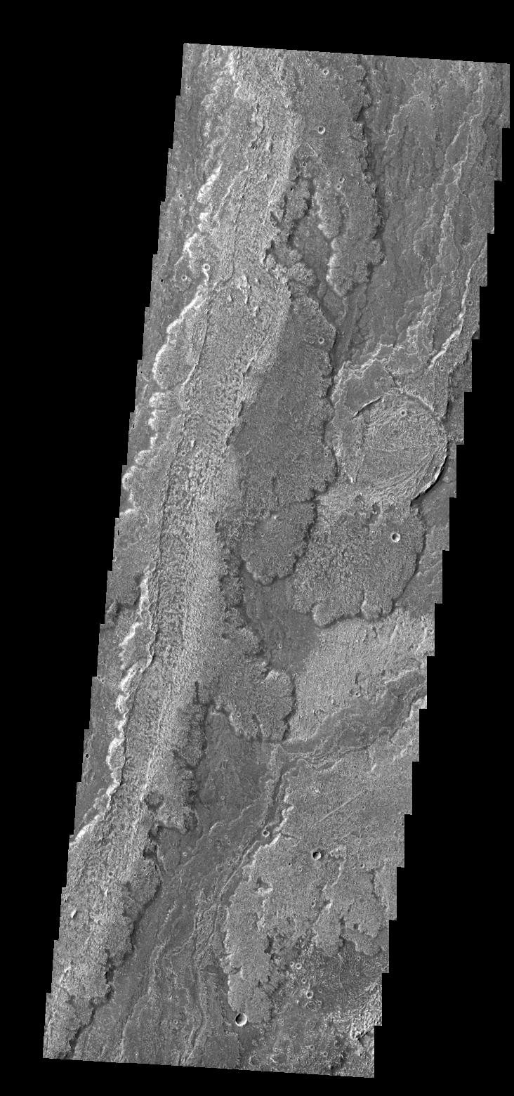
Wind Erosion
Full Resolution:
TIFF
(3.7 MB)
JPEG
(662.7 kB)
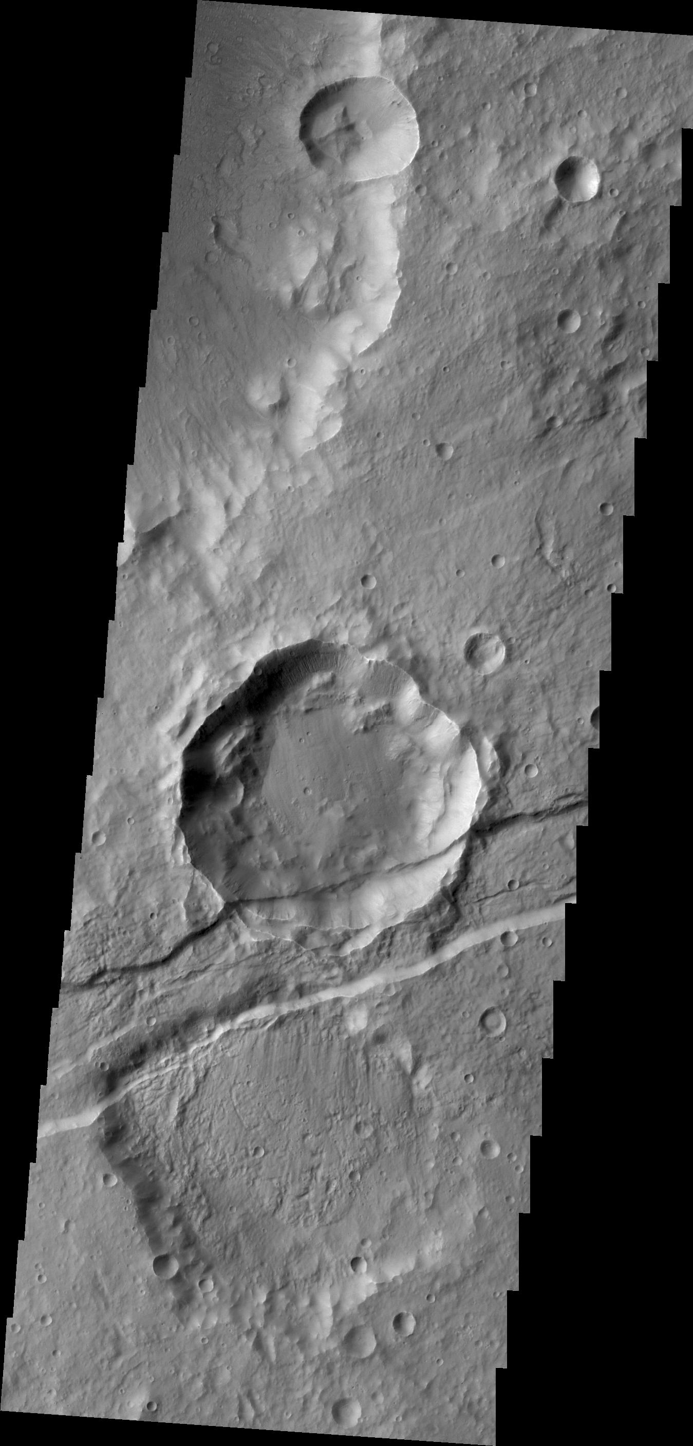
2011-11-01
Mars
2001 Mars Odyssey
THEMIS
1379x2832x1
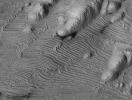
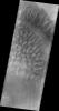
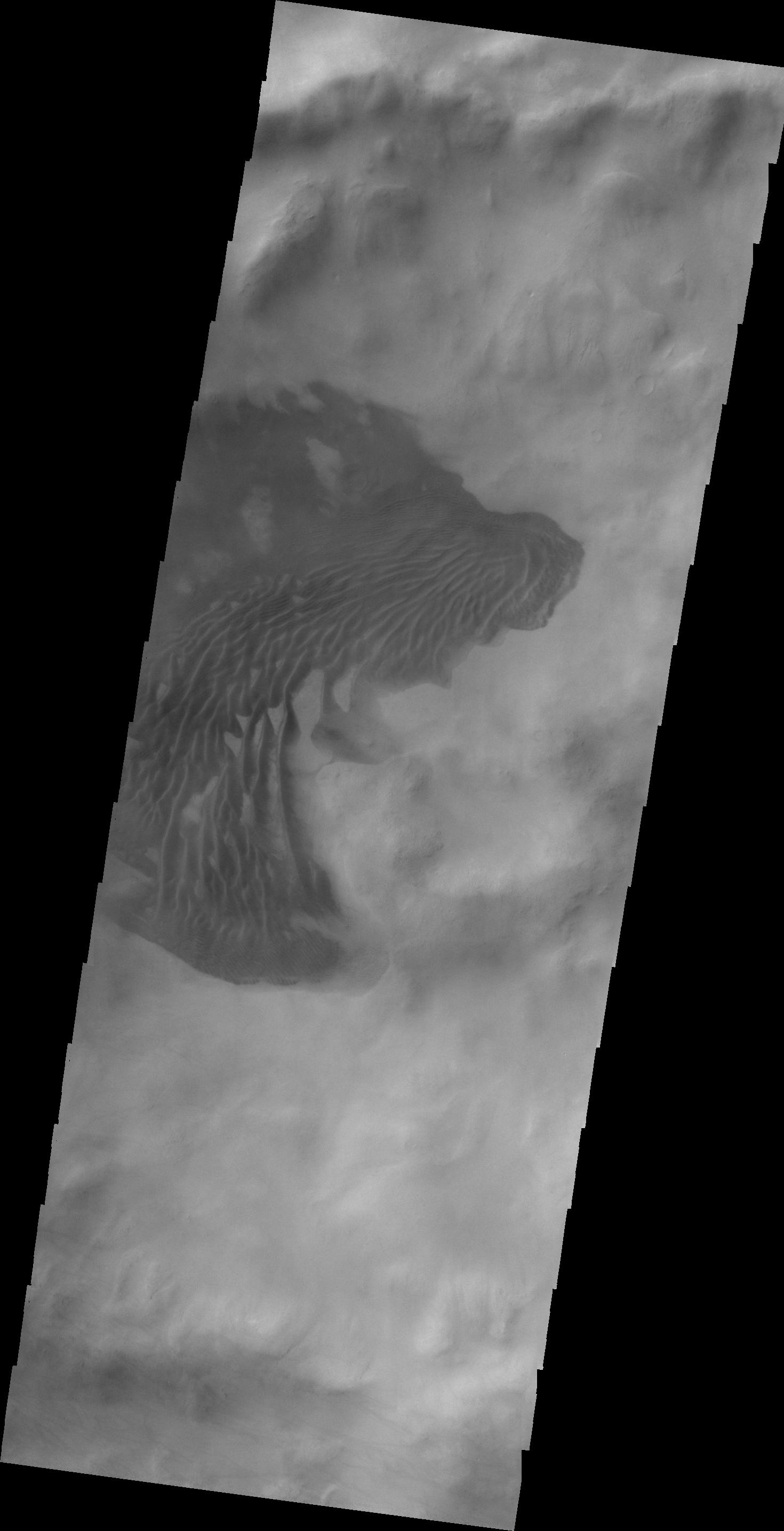
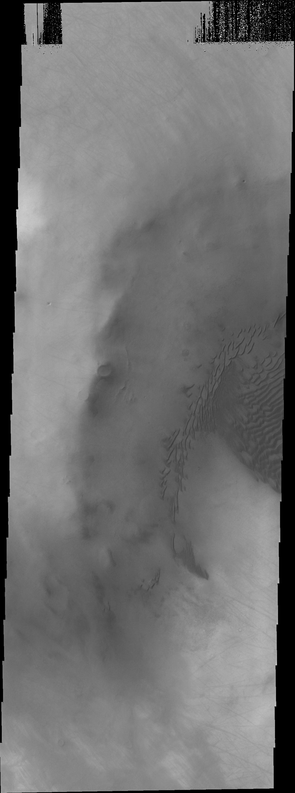
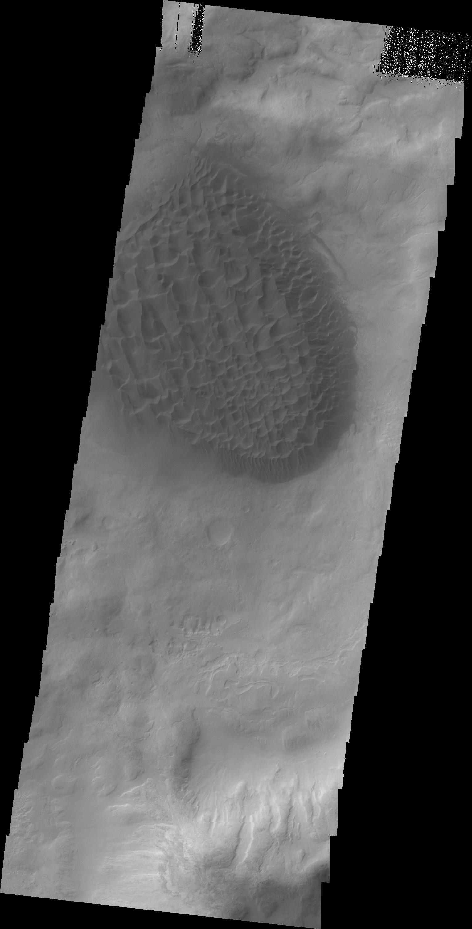
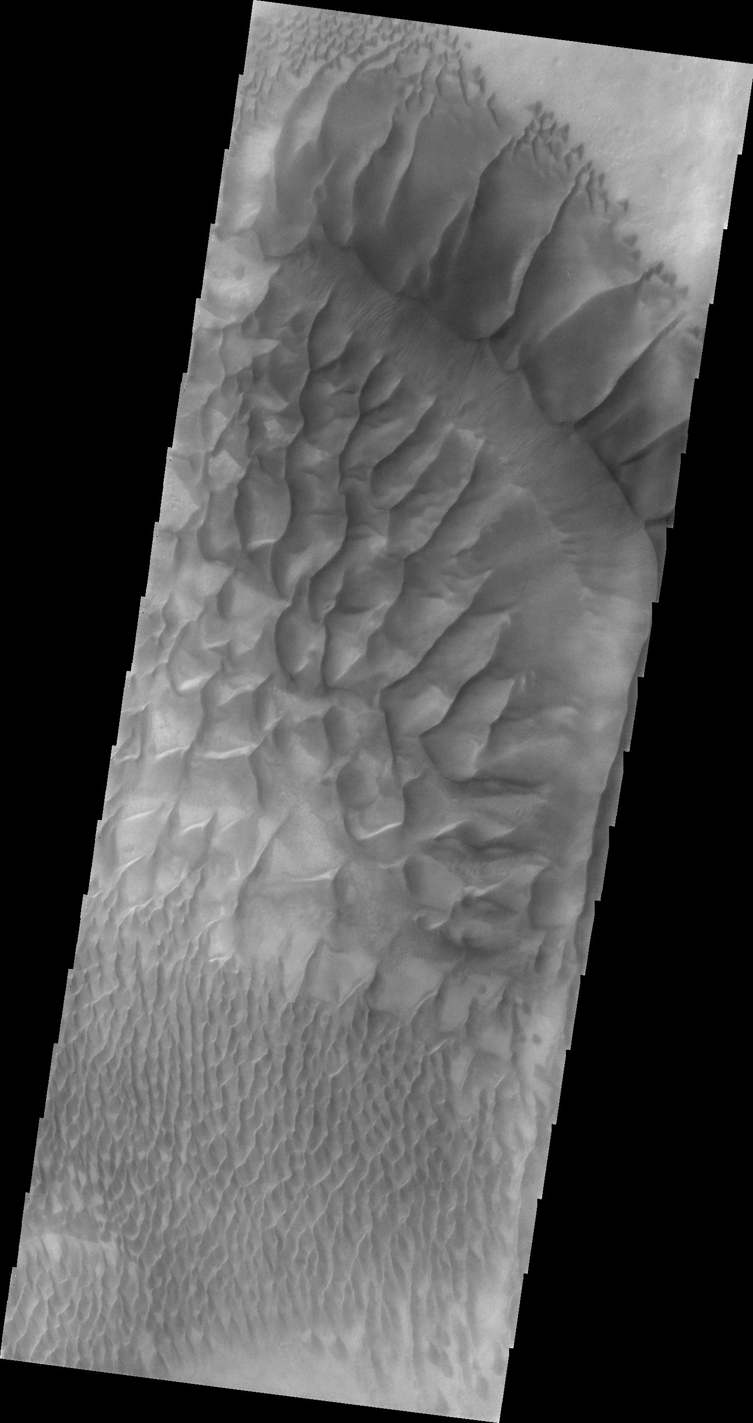
PIA14984:
Lohse Crater Dunes
Full Resolution:
TIFF
(3.91 MB)
JPEG
(264.1 kB)
2011-11-02
Mars
2001 Mars Odyssey
THEMIS
1349x2815x1
PIA14985:
Sirenum Fossae
Full Resolution:
TIFF
(3.801 MB)
JPEG
(313.4 kB)
2011-11-02
Mars
Mars Reconnaissance Orbiter (MRO)
CRISM
2000x2000x3
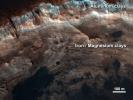
PIA14764:
Clay Minerals in Craters and Escarpments on Mars
Full Resolution:
TIFF
(12.02 MB)
JPEG
(262.6 kB)
2011-11-03
Mars
2001 Mars Odyssey
THEMIS
1470x2869x1
PIA14986:
V43168007
Full Resolution:
TIFF
(4.222 MB)
JPEG
(198.6 kB)
2011-11-04
Mars
2001 Mars Odyssey
THEMIS
704x1545x1
PIA14987:
Aureum Chaos
Full Resolution:
TIFF
(1.089 MB)
JPEG
(90.74 kB)
2011-11-07
Mars
2001 Mars Odyssey
THEMIS
1357x2791x1
PIA14988:
V43188001
Full Resolution:
TIFF
(3.791 MB)
JPEG
(217.8 kB)
2011-11-08
Mars
2001 Mars Odyssey
THEMIS
1426x2861x1
PIA14989:
V43209003
Full Resolution:
TIFF
(4.085 MB)
JPEG
(246.4 kB)
2011-11-09
Mars
2001 Mars Odyssey
THEMIS
1366x2794x1
PIA14990:
Coprates Catena
Full Resolution:
TIFF
(3.821 MB)
JPEG
(392.3 kB)
2011-11-10
Mars
2001 Mars Odyssey
THEMIS
728x1556x1
PIA14991:
Windstreaks
Full Resolution:
TIFF
(1.134 MB)
JPEG
(105.6 kB)
2011-11-11
Mars
2001 Mars Odyssey
THEMIS
1165x3126x1
PIA14992:
Dunes in Terra Sirenum
Full Resolution:
TIFF
(3.646 MB)
JPEG
(223.6 kB)
2011-11-14
Mars
2001 Mars Odyssey
THEMIS
1339x2773x1
PIA14993:
Dark Slope Streaks
Full Resolution:
TIFF
(3.717 MB)
JPEG
(356.9 kB)
2011-11-15
Mars
2001 Mars Odyssey
THEMIS
729x1557x1
PIA14994:
Syrtis Major Windstreaks
Full Resolution:
TIFF
(1.136 MB)
JPEG
(137.1 kB)
2011-11-16
Mars
2001 Mars Odyssey
THEMIS
1382x2782x1
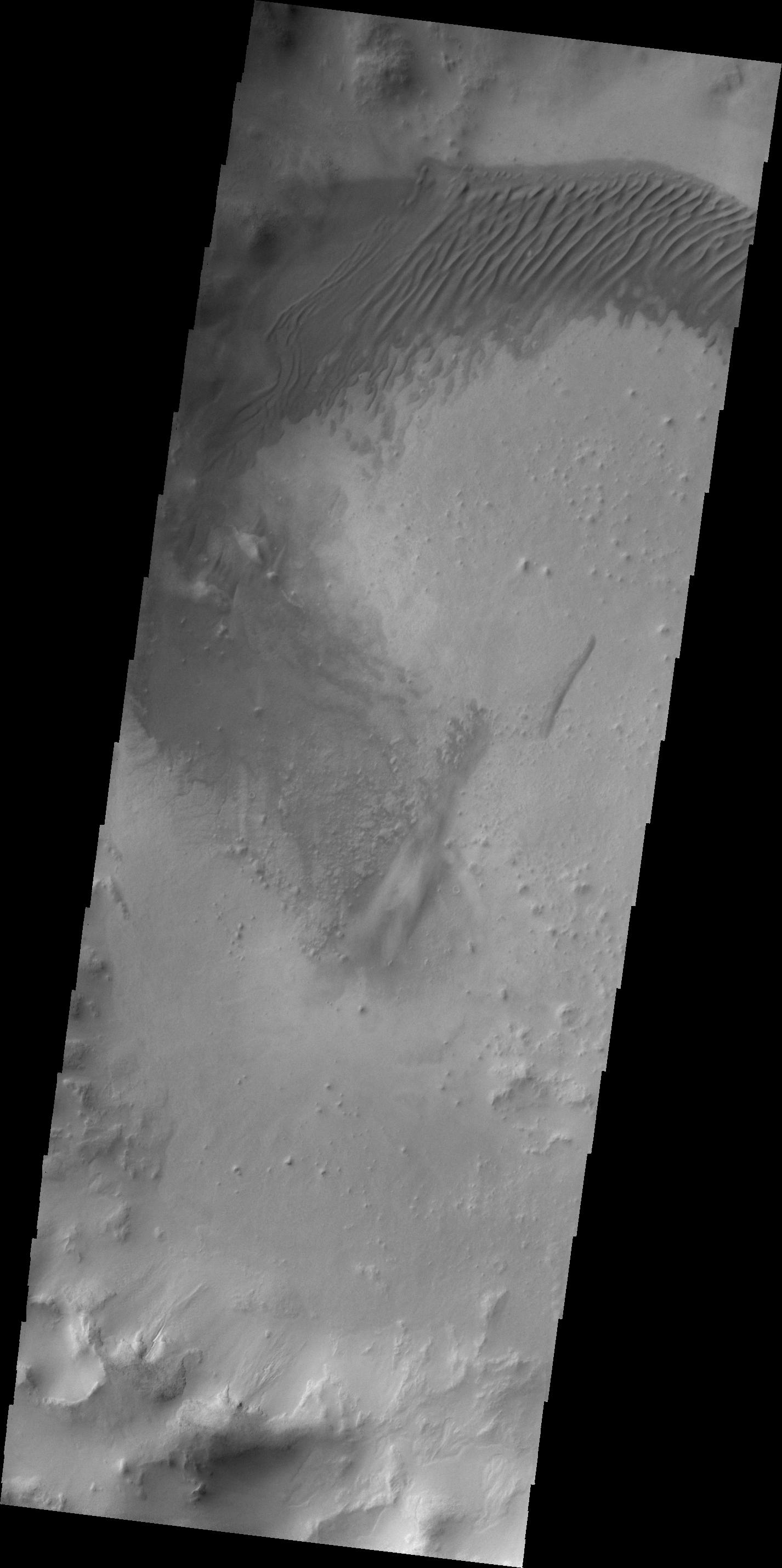
PIA14995:
Bopolu Dunes
Full Resolution:
TIFF
(3.849 MB)
JPEG
(190.6 kB)
2011-11-17
Mars
2001 Mars Odyssey
THEMIS
1496x2868x1
PIA14996:
Brashear Crater Dunes
Full Resolution:
TIFF
(4.295 MB)
JPEG
(237 kB)
2011-11-17
Mars
Mars Reconnaissance Orbiter (MRO)
HiRISE
920x1016x1
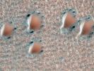
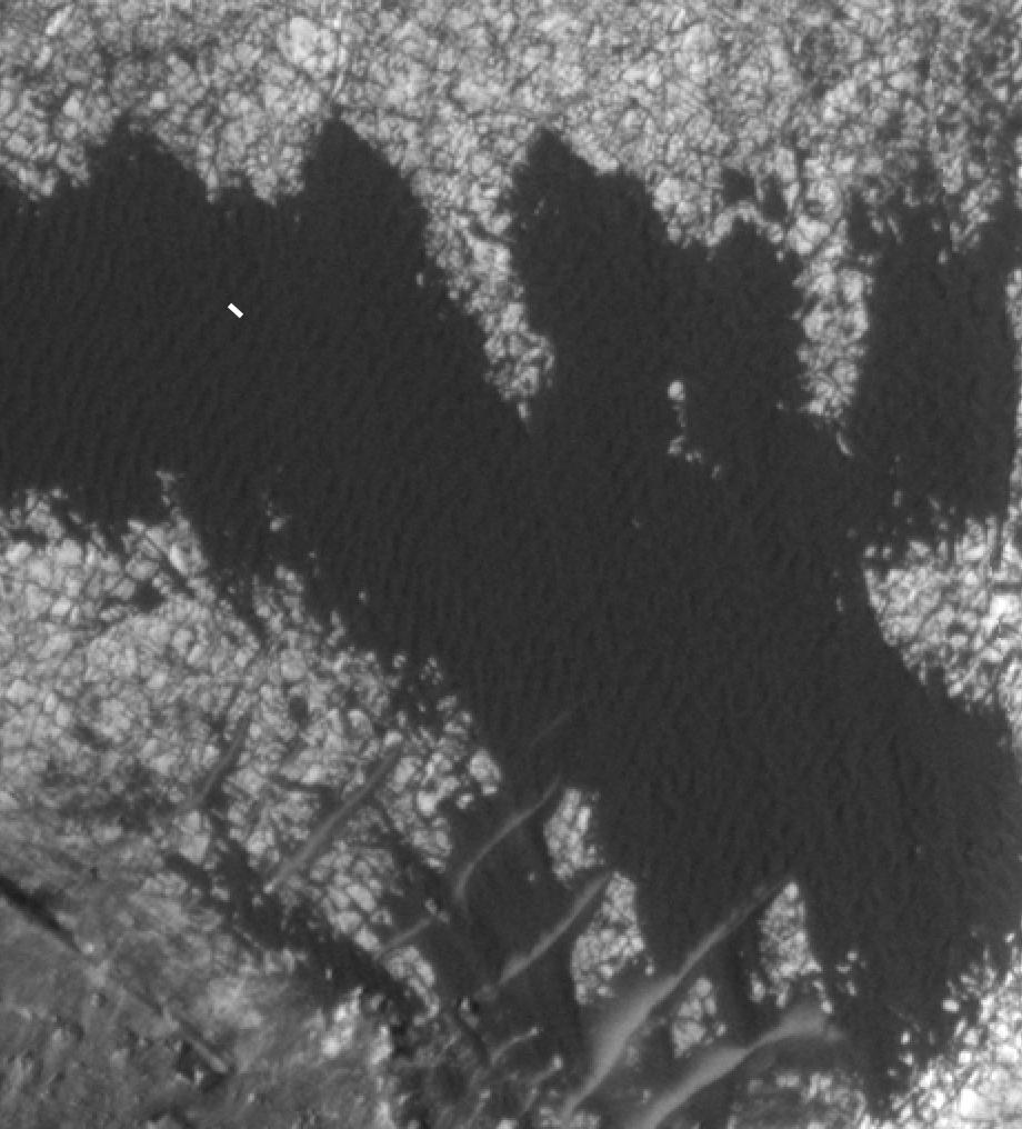
PIA14876:
Blowing in the Martian Wind
Full Resolution:
TIFF
(936 kB)
JPEG
(106.7 kB)
2011-11-17
Mars
Mars Reconnaissance Orbiter (MRO)
HiRISE
781x1019x1
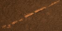
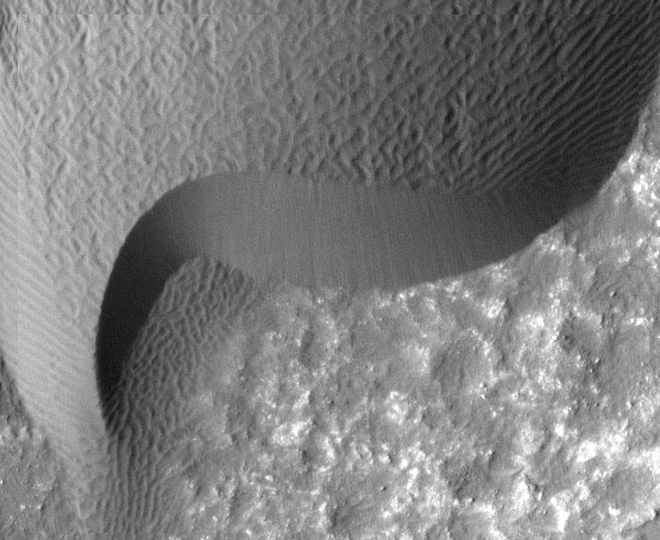
PIA14877:
Shifting Sand in Herschel Crater
Full Resolution:
TIFF
(796.9 kB)
JPEG
(171.2 kB)
2011-11-17
Mars
Mars Reconnaissance Orbiter (MRO)
HiRISE
738x604x1
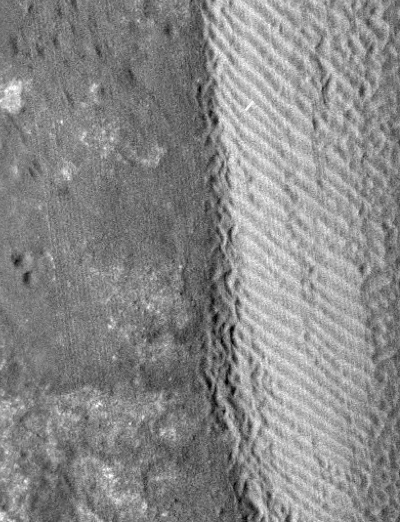
PIA14878:
Rippling Dune Front in Herschel Crater on Mars
Full Resolution:
TIFF
(446.4 kB)
JPEG
(72.31 kB)
2011-11-17
Mars
Mars Reconnaissance Orbiter (MRO)
HiRISE
878x1120x1
PIA14879:
Rippling Dune Front in Herschel Crater on Mars
Full Resolution:
TIFF
(984.6 kB)
JPEG
(119.5 kB)
2011-11-17
Mars
Mars Reconnaissance Orbiter (MRO)
HiRISE
1225x925x1
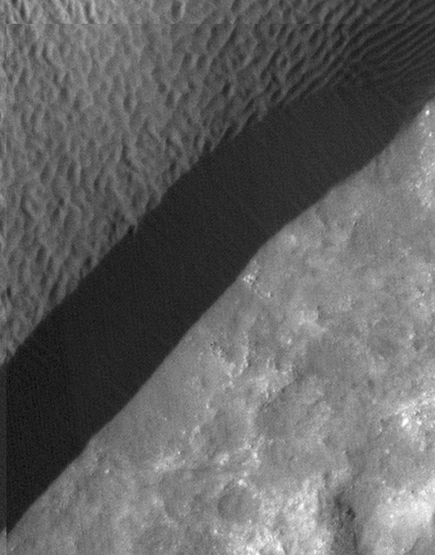
PIA14880:
Movement in Martian Dune Field
Full Resolution:
TIFF
(1.135 MB)
JPEG
(144.5 kB)
2011-11-18
Mars
2001 Mars Odyssey
THEMIS
1377x2769x1
PIA14997:
Dark Slope Streaks
Full Resolution:
TIFF
(3.818 MB)
JPEG
(442.5 kB)
2011-11-21
Mars
2001 Mars Odyssey
THEMIS
1531x3011x1
PIA14998:
Matara Crater
Full Resolution:
TIFF
(4.615 MB)
JPEG
(246.4 kB)
2011-11-21
Mars
Mariner Mars 1971 (Mariner 9)
958x605x1
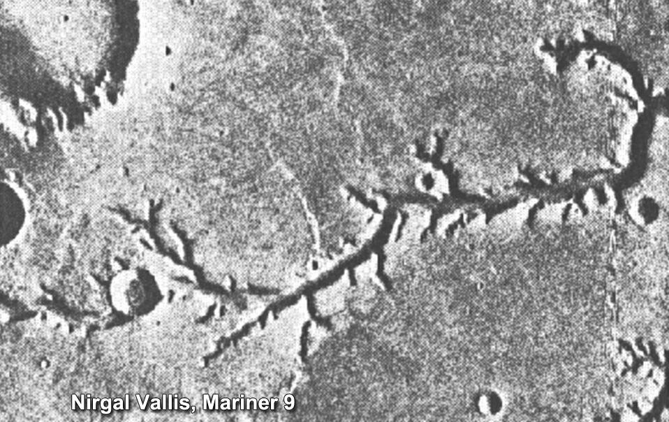
PIA15090:
Mariner 9 View of Nirgal Vallis
Full Resolution:
TIFF
(580.4 kB)
JPEG
(138.9 kB)
2011-11-21
Mars
Mars Exploration Rover (MER)
Panoramic Camera
862x647x3
PIA15091:
Layers in Burns Cliff Examined by Opportunity
Full Resolution:
TIFF
(1.675 MB)
JPEG
(112.3 kB)
2011-11-21
Mars
Mars Reconnaissance Orbiter (MRO)
HiRISE
950x720x1
PIA15092:
Rhythmic Layering in Danielson Crater on Mars
Full Resolution:
TIFF
(685 kB)
JPEG
(113.5 kB)
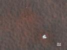
2011-11-21
Mars
Mars Science Laboratory (MSL)
788x720x3
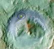
PIA15093:
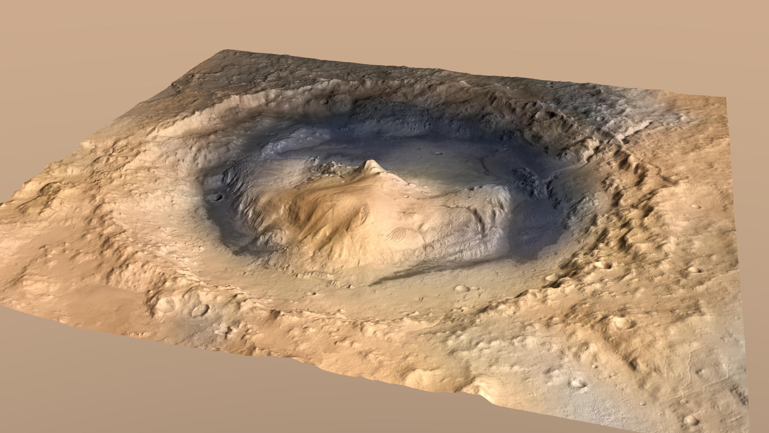
Topography of Gale Crater
Full Resolution:
TIFF
(1.704 MB)
JPEG
(87.11 kB)
2011-11-21
Mars
Mars Global Surveyor (MGS)
MOLA
989x632x3
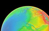
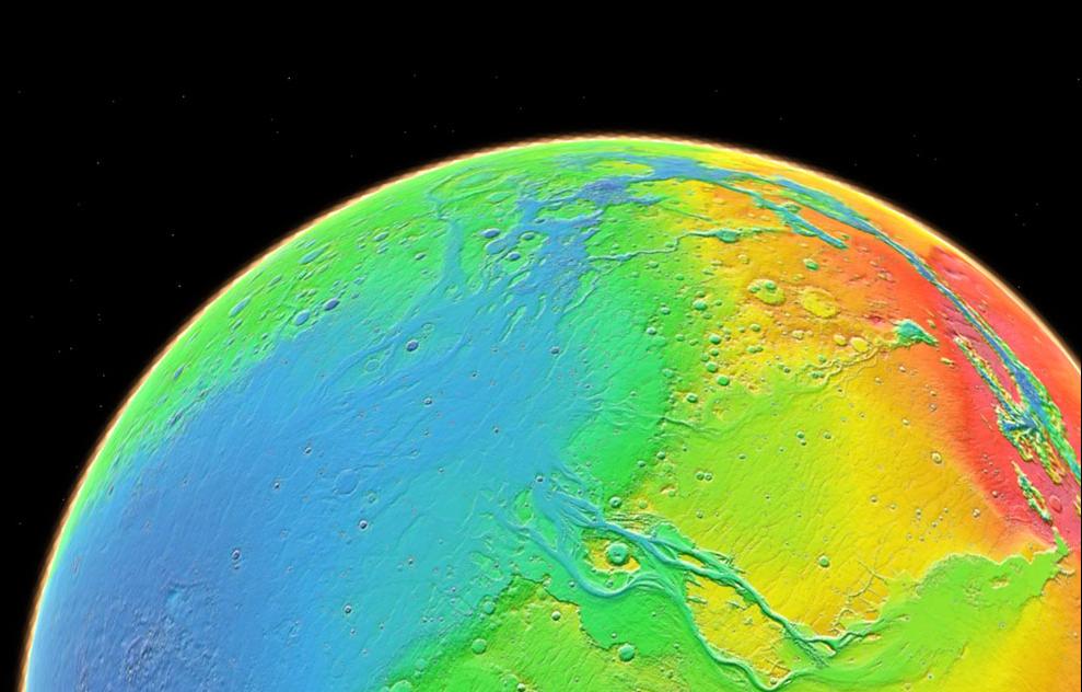
PIA15094:
Topography of Mars
Full Resolution:
TIFF
(1.878 MB)
JPEG
(81.25 kB)
2011-11-21
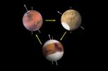
Mars
Mars Science Laboratory (MSL)
1048x684x3
PIA15095:
Changes in Tilt of Mars' Axis
Full Resolution:
TIFF
(2.153 MB)
JPEG
(27.73 kB)
2011-11-21
Mars
Mars Reconnaissance Orbiter (MRO)
HiRISE
923x690x3
PIA15096:
Fresh Crater Revealing Buried Ice
Full Resolution:
TIFF
(1.914 MB)
JPEG
(132.1 kB)
2011-11-21
Mars
Mars Reconnaissance Orbiter (MRO)
CRISM
CTX
935x720x3
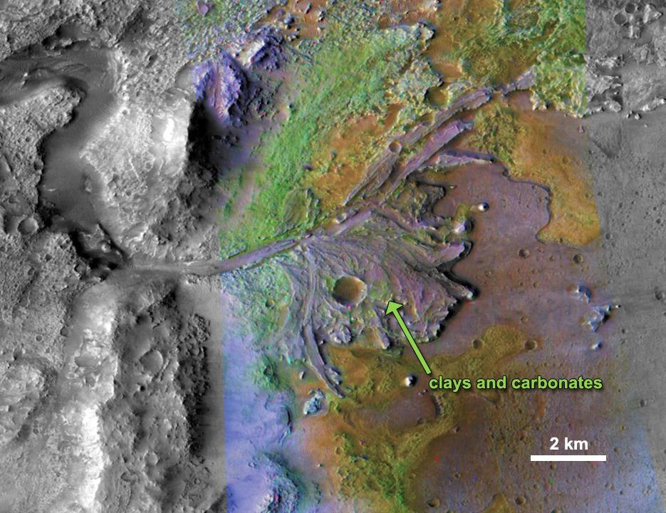
PIA15097:
Chemical Alteration by Water, Jezero Crater Delta
Full Resolution:
TIFF
(2.023 MB)
JPEG
(132 kB)
2011-11-21
Mars
Mars Reconnaissance Orbiter (MRO)
HiRISE
860x647x3
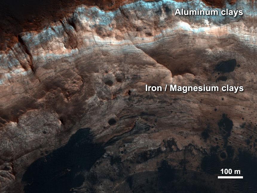
PIA15098:
Chemical Alteration by Water, Mawrth Vallis
Full Resolution:
TIFF
(1.671 MB)
JPEG
(95.97 kB)
2011-11-21
Mars
Mars Reconnaissance Orbiter (MRO)
CRISM
CTX
857x517x3
PIA15099:
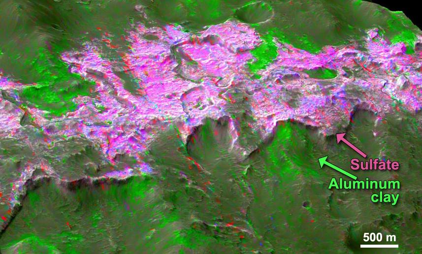
Sulfates and Clays in Columbus Crater, Mars
Full Resolution:
TIFF
(1.331 MB)
JPEG
(97.63 kB)
2011-11-22
Mars
2001 Mars Odyssey
THEMIS
729x1556x1
PIA14999:
Shalbatana Vallis
Full Resolution:
TIFF
(1.136 MB)
JPEG
(109.3 kB)
2011-11-23
Mars
2001 Mars Odyssey
THEMIS
1506x3011x1
PIA15000:
Dunes in Aonia Terra
Full Resolution:
TIFF
(4.54 MB)
JPEG
(308.5 kB)
2011-11-24
Mars
2001 Mars Odyssey
THEMIS
732x1560x1
PIA15001:
Arsia Mons Flows
Full Resolution:
TIFF
(1.143 MB)
JPEG
(179.5 kB)
2011-11-25
Mars
2001 Mars Odyssey
THEMIS
1473x3000x1
PIA15002:
Rabe Crater Dunes
Full Resolution:
TIFF
(4.424 MB)
JPEG
(230.9 kB)
2011-11-28
Mars
2001 Mars Odyssey
THEMIS
1439x2846x1
PIA15003:
Rabe Crater
Full Resolution:
TIFF
(4.1 MB)
JPEG
(301.9 kB)
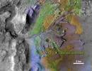
2011-11-28
Mars
Mars Science Laboratory (MSL)
Contact Camera (CTX)
High Resolution Stereo Camera
2560x1440x3
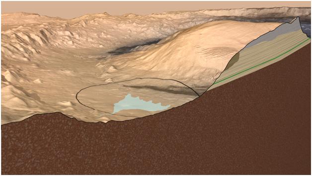
PIA15101:
Oblique View of Gale Crater, Mars, with Vertical Exaggeration
Full Resolution:
TIFF
(11.07 MB)
JPEG
(338 kB)
2011-11-28
Mars
Mars Science Laboratory (MSL)
Contact Camera (CTX)
High Resolution Stereo Camera
628x355x3
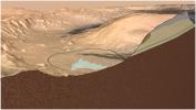
PIA15102:
Cross Section of Gale Crater, Mars (Artist's Concept)
Full Resolution:
TIFF
(669.8 kB)
JPEG
(35.94 kB)
2011-11-30
Mars
2001 Mars Odyssey
THEMIS
1402x2809x1
PIA15130:
Gullies in Holden Crater
Full Resolution:
TIFF
(3.943 MB)
JPEG
(348.8 kB)
2011-12-01
Mars
2001 Mars Odyssey
THEMIS
1439x2846x1
PIA15132:
Rabe Crater Dunes
Full Resolution:
TIFF
(4.1 MB)
JPEG
(302 kB)
2011-12-02
Mars
2001 Mars Odyssey
THEMIS
1522x2874x1
PIA15133:
Russell Crater Dunes
Full Resolution:
TIFF
(4.379 MB)
JPEG
(296.3 kB)
2011-12-05
Mars
2001 Mars Odyssey
THEMIS
1354x2786x1
PIA15134:
Wind Erosion
Full Resolution:
TIFF
(3.776 MB)
JPEG
(329.5 kB)
2011-12-06
Mars
2001 Mars Odyssey
THEMIS
1340x2774x1
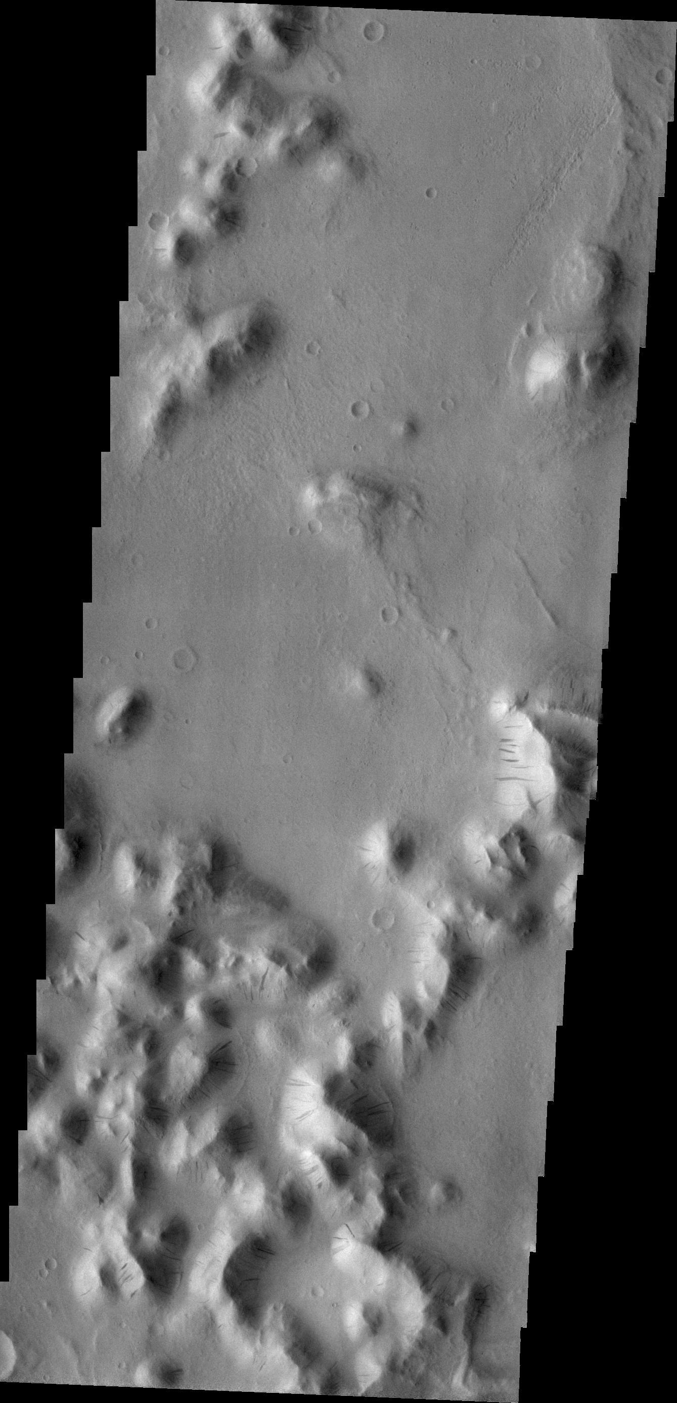
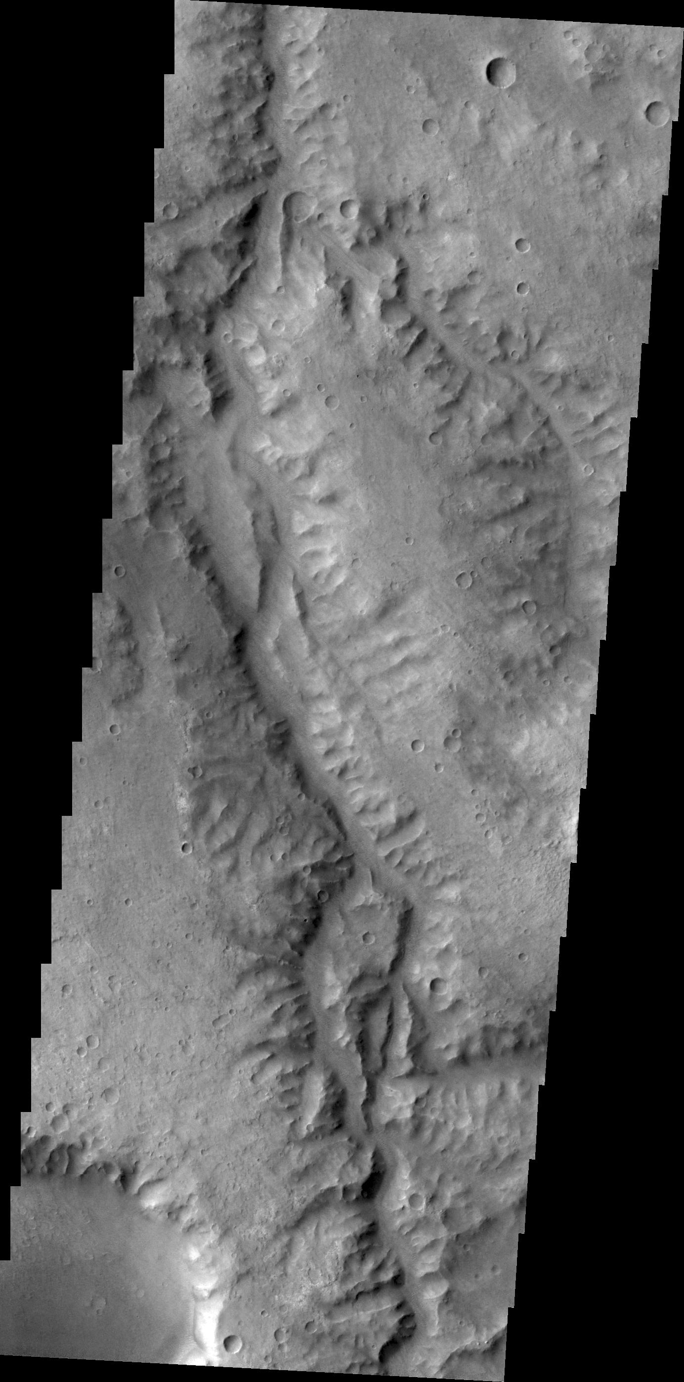
PIA15135:
Mass Wasting
Full Resolution:
TIFF
(3.721 MB)
JPEG
(332.3 kB)
2011-12-07
Mars
2001 Mars Odyssey
THEMIS
1393x2777x1
PIA15139:
Wind Erosion
Full Resolution:
TIFF
(3.873 MB)
JPEG
(629.1 kB)
2011-12-07
Mars
Mars Reconnaissance Orbiter (MRO)
HiRISE
2560x1920x3
PIA14861:
Edge of North Polar Erg
Full Resolution:
TIFF
(14.76 MB)
JPEG
(1.041 MB)
2011-12-07
Mars
Mars Exploration Rover (MER)
Panoramic Camera
1022x512x3
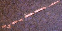
PIA15033:
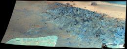
'Homestake' Vein in Color
Full Resolution:
TIFF
(1.572 MB)
JPEG
(56.78 kB)
2011-12-07
Mars
Mars Exploration Rover (MER)
Panoramic Camera
1022x512x3
PIA15034:
'Homestake' Vein, False Color
Full Resolution:
TIFF
(1.572 MB)
JPEG
(105.5 kB)
2011-12-07
Mars
Mars Exploration Rover (MER)
Microscopic Imager
1928x1335x1
PIA15035:
Close-up View of 'Homestake' Vein
Full Resolution:
TIFF
(2.577 MB)
JPEG
(408.3 kB)
2011-12-07
Mars
Mars Exploration Rover (MER)
Navigation Camera
1024x1024x1
PIA15036:
Western Edge of 'Cape York,' with Bright Vein
Full Resolution:
TIFF
(1.05 MB)
JPEG
(297.5 kB)
2011-12-07
Mars
Mars Exploration Rover (MER)
Hazcam
474x474x1
PIA15037:
Opportunity's Approach to 'Homestake'
Full Resolution:
TIFF
(225.1 kB)
JPEG
(18.68 kB)
2011-12-07
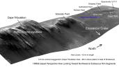
Mars
Mars Reconnaissance Orbiter (MRO)
HiRISE
8192x4774x3
PIA15111:
West Rim of Endeavour with Vertical Exaggeration
Full Resolution:
TIFF
(117.3 MB)
JPEG
(3.007 MB)
2011-12-07
Mars
Mars Reconnaissance Orbiter (MRO)
HiRISE
960x720x3
PIA15112:
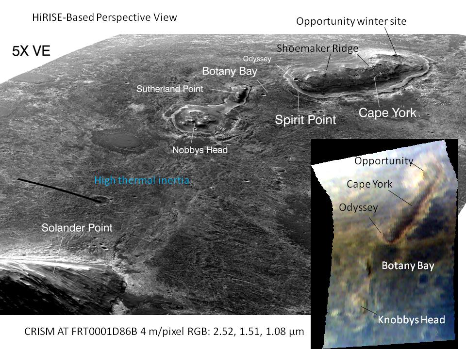
'Botany Bay' and 'Cape York' with Vertical Exaggeration
Full Resolution:
TIFF
(2.077 MB)
JPEG
(144.3 kB)
2011-12-07
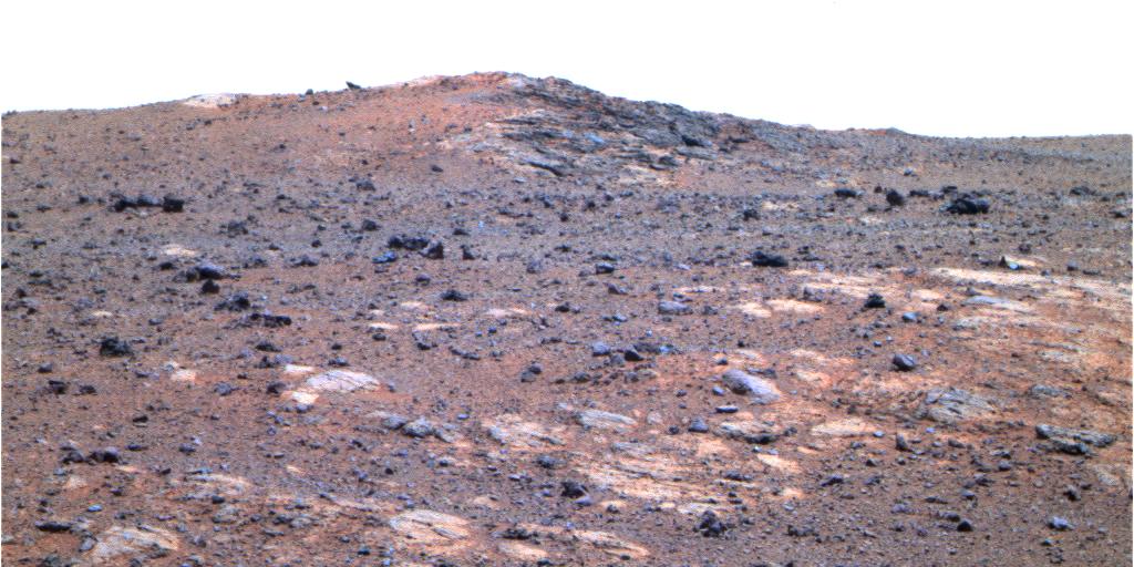
Mars
Mars Exploration Rover (MER)
Panoramic Camera
1024x512x3
PIA15113:
'Shoemaker Ridge' on Endeavour Rim (False Color)
Full Resolution:
TIFF
(1.575 MB)
JPEG
(111 kB)
2011-12-08
Mars
2001 Mars Odyssey
THEMIS
1394x2776x1
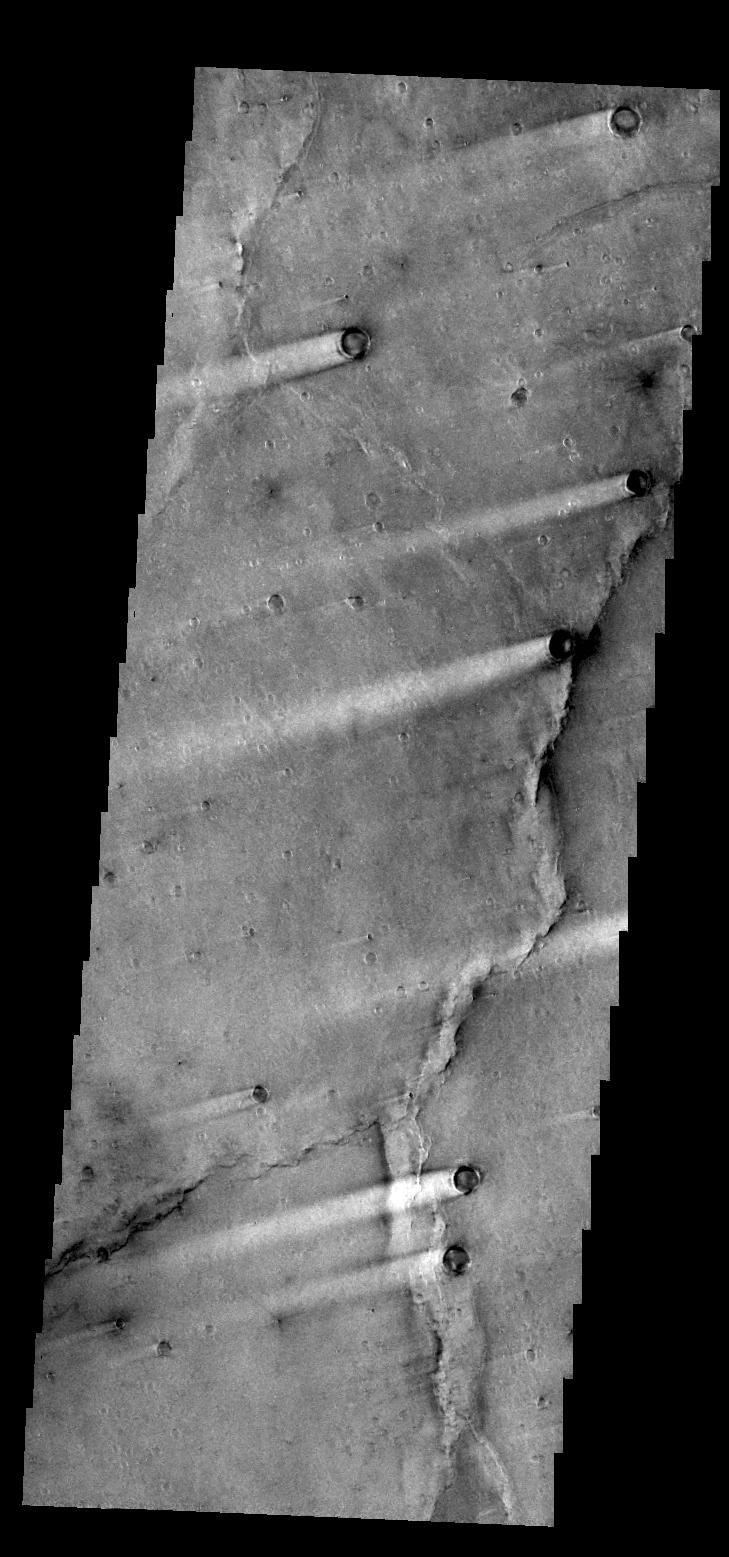
PIA15165:
Fractures
Full Resolution:
TIFF
(3.874 MB)
JPEG
(568.6 kB)
2011-12-09
Mars
2001 Mars Odyssey
THEMIS
725x1556x1
PIA15166:
Naktong Vallis
Full Resolution:
TIFF
(1.129 MB)
JPEG
(101.9 kB)
2011-12-12
Mars
2001 Mars Odyssey
THEMIS
1420x2940x1
PIA15167:
Windstreak
Full Resolution:
TIFF
(4.18 MB)
JPEG
(411 kB)
2011-12-13
Mars
2001 Mars Odyssey
THEMIS
1451x2835x1
PIA15168:
Reull Vallis
Full Resolution:
TIFF
(4.118 MB)
JPEG
(365.3 kB)
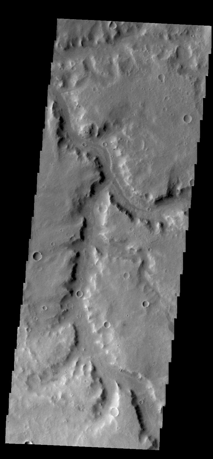
2011-12-14
Mars
2001 Mars Odyssey
THEMIS
1384x2795x1
PIA15169:
Channel
Full Resolution:
TIFF
(3.873 MB)
JPEG
(352.9 kB)
2011-12-15
Mars
2001 Mars Odyssey
THEMIS
732x1559x1
PIA15182:
Daedalia Planum
Full Resolution:
TIFF
(1.143 MB)
JPEG
(162.5 kB)
2011-12-16
Mars
2001 Mars Odyssey
THEMIS
733x1561x1
PIA15183:
Samara Valles
Full Resolution:
TIFF
(1.146 MB)
JPEG
(93.95 kB)
2011-12-19
Mars
2001 Mars Odyssey
THEMIS
1351x2920x1
PIA15184:
Shalbatana Vallis
Full Resolution:
TIFF
(3.949 MB)
JPEG
(369.4 kB)
2011-12-19
Mars
Mars Express (MEX)
Mars Global Surveyor (MGS)
MARSIS
MOLA
1157x577x3
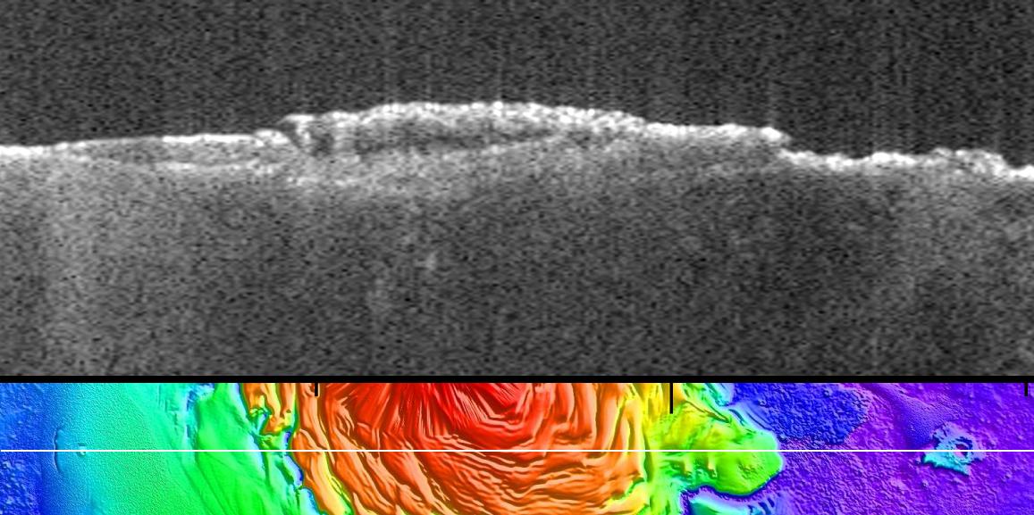
PIA15117:
Radargram of Mars North Polar Plateau from Mars Express
Full Resolution:
TIFF
(2.005 MB)
JPEG
(120 kB)
2011-12-20
Mars
2001 Mars Odyssey
THEMIS
734x1561x1
PIA15207:
Delta
Full Resolution:
TIFF
(1.147 MB)
JPEG
(104.4 kB)
2011-12-21
Mars
2001 Mars Odyssey
THEMIS
1299x2770x1
PIA15208:
Ascraeus Mons
Full Resolution:
TIFF
(3.602 MB)
JPEG
(442.6 kB)
2011-12-22
Mars
2001 Mars Odyssey
THEMIS
1425x2968x1
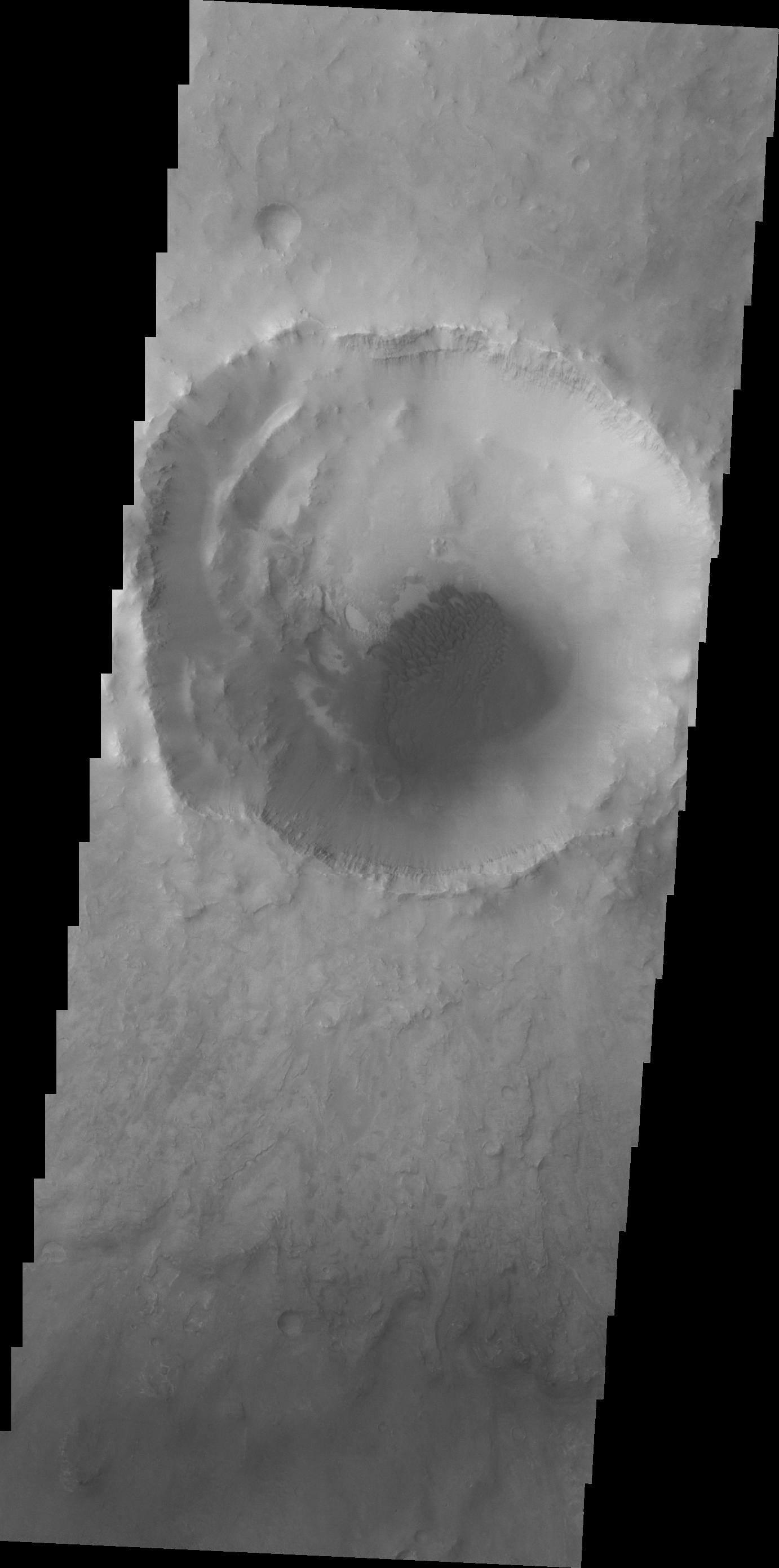
PIA15209:
Landslide
Full Resolution:
TIFF
(4.234 MB)
JPEG
(359.9 kB)
2011-12-23
Mars
2001 Mars Odyssey
THEMIS
1397x2929x1
PIA15210:
Windstreaks
Full Resolution:
TIFF
(4.097 MB)
JPEG
(328.4 kB)
2011-12-26
Mars
2001 Mars Odyssey
THEMIS
1398x2956x1
PIA15211:
Tyrrhena Fossae
Full Resolution:
TIFF
(4.137 MB)
JPEG
(280.5 kB)
2011-12-27
Mars
2001 Mars Odyssey
THEMIS
1070x2753x1
PIA15212:
Ascraeus Mons
Full Resolution:
TIFF
(2.949 MB)
JPEG
(230.5 kB)
2011-12-28
Mars
2001 Mars Odyssey
THEMIS
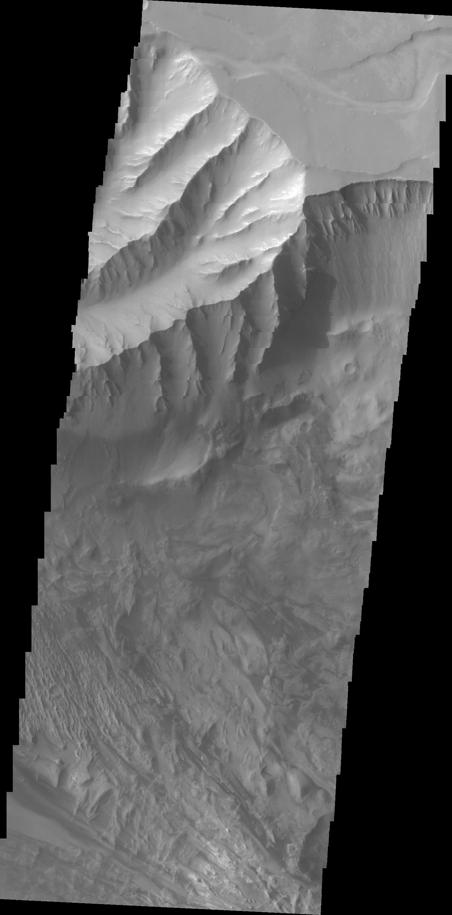
1358x2765x1
PIA15213:
Kasei Valles
Full Resolution:
TIFF
(3.759 MB)
JPEG
(395.2 kB)
2011-12-29
Mars
2001 Mars Odyssey
THEMIS
1401x2806x1
PIA15214:
Dunes of Arabia Terra
Full Resolution:
TIFF
(3.936 MB)
JPEG
(359.7 kB)
2011-12-30
Mars
2001 Mars Odyssey
THEMIS
1400x2834x1
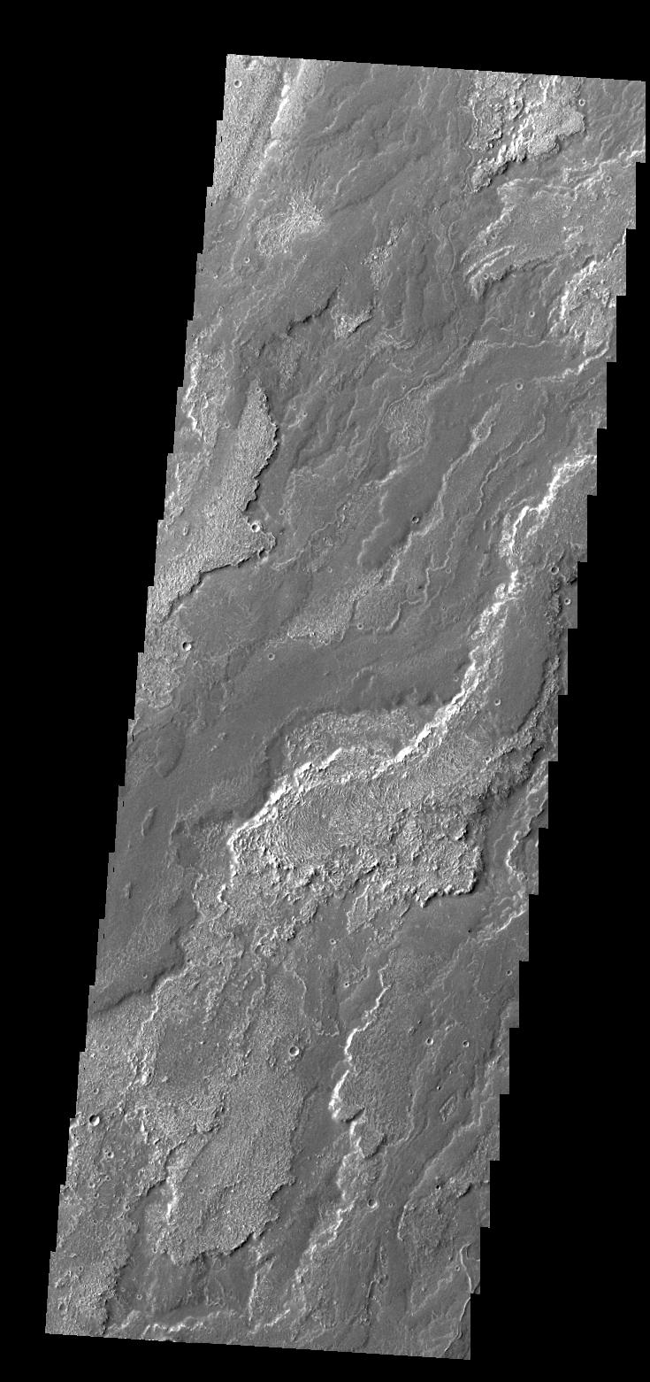
PIA15215:
Dao Valles
Full Resolution:
TIFF
(3.972 MB)
JPEG
(240.6 kB)
2012-01-02
Mars
2001 Mars Odyssey
THEMIS
1382x2763x1
PIA15216:
Elysium Mons
Full Resolution:
TIFF
(3.823 MB)
JPEG
(559.1 kB)
2012-01-03
Mars
2001 Mars Odyssey
THEMIS
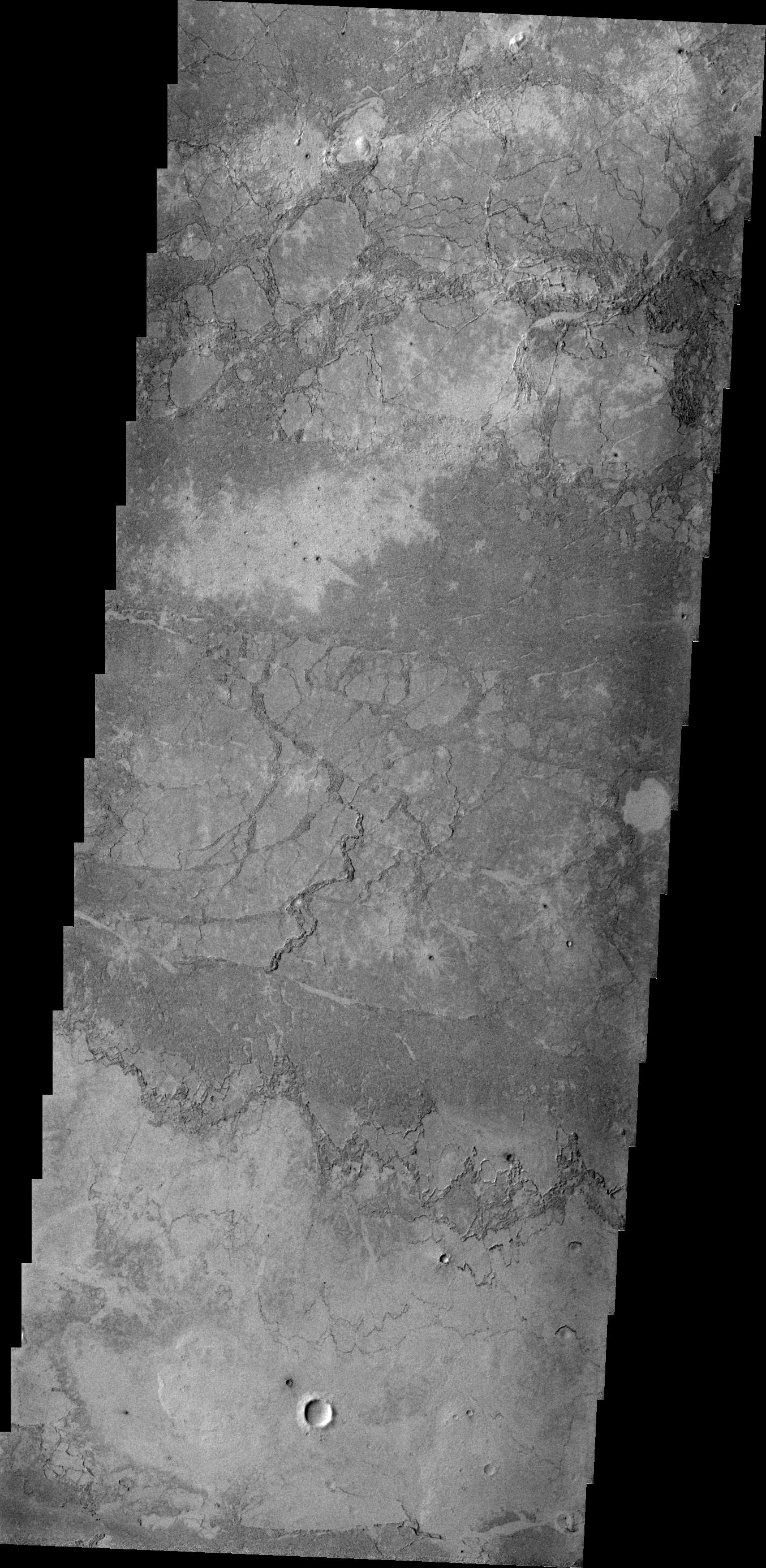
1385x2918x1
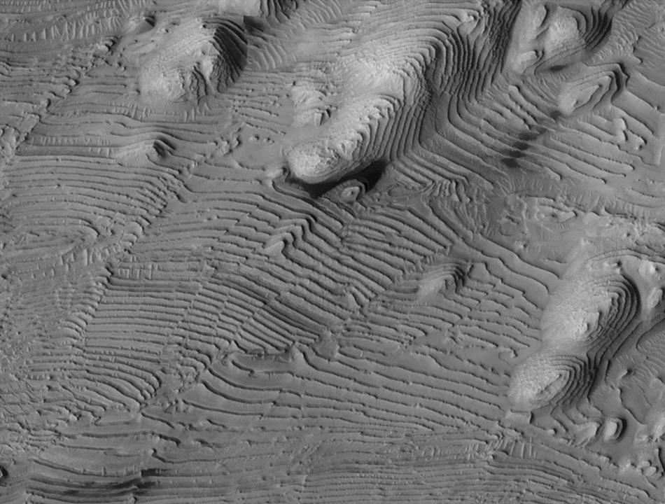
PIA15217:
Layers
Full Resolution:
TIFF
(4.046 MB)
JPEG
(395.8 kB)
2012-01-04
Mars
2001 Mars Odyssey
THEMIS
734x1562x1
PIA15247:
Canala Crater
Full Resolution:
TIFF
(1.148 MB)
JPEG
(115.6 kB)
2012-01-05
Mars
2001 Mars Odyssey
THEMIS
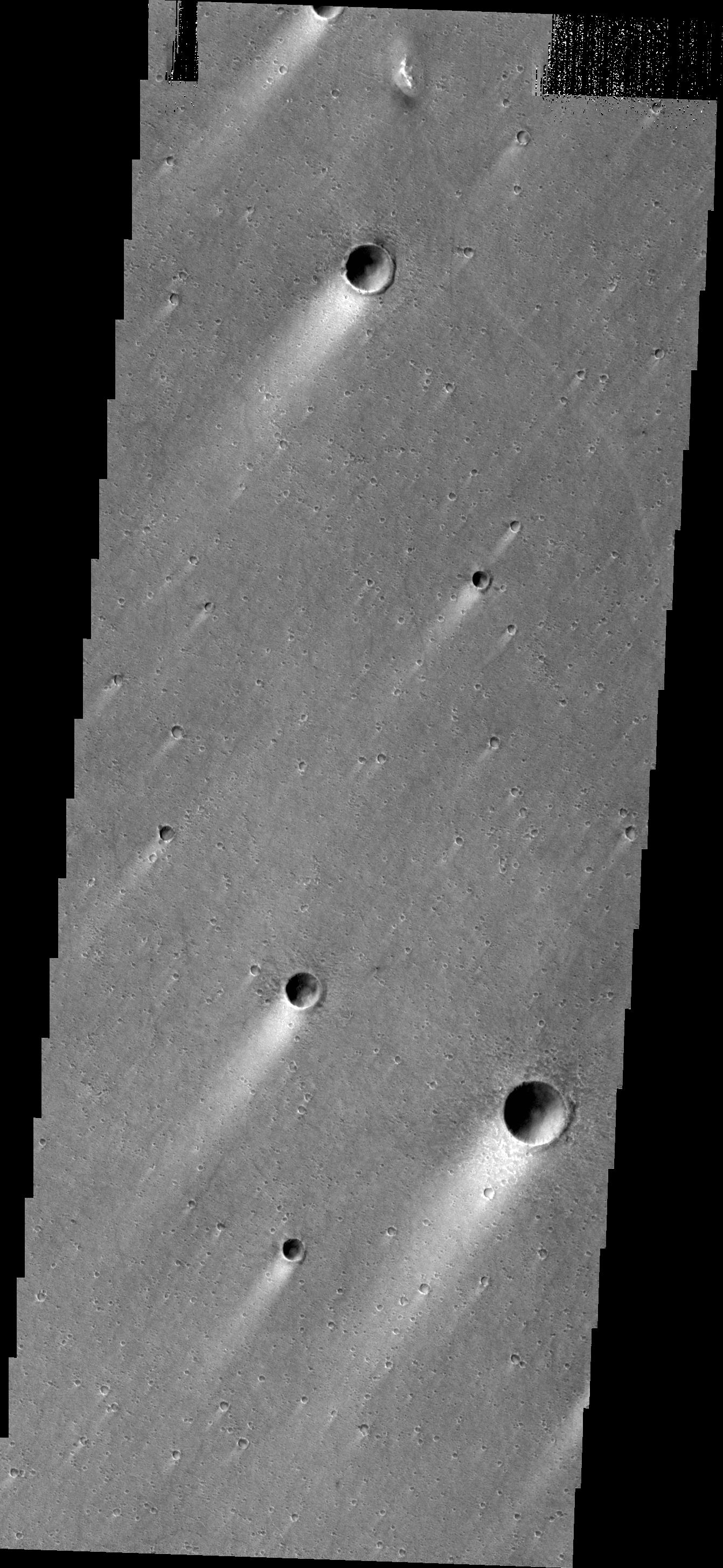
1263x2776x1
PIA15248:
Pavonis Mons
Full Resolution:
TIFF
(2.774 MB)
JPEG
(410.3 kB)
2012-01-05
Mars
Mars Exploration Rover (MER)
Navigation Camera
1024x1024x1
PIA15118:
Approaching 'Greeley Haven' on Endeavour Rim
Full Resolution:
TIFF
(1.05 MB)
JPEG
(212.1 kB)
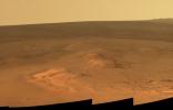
2012-01-05
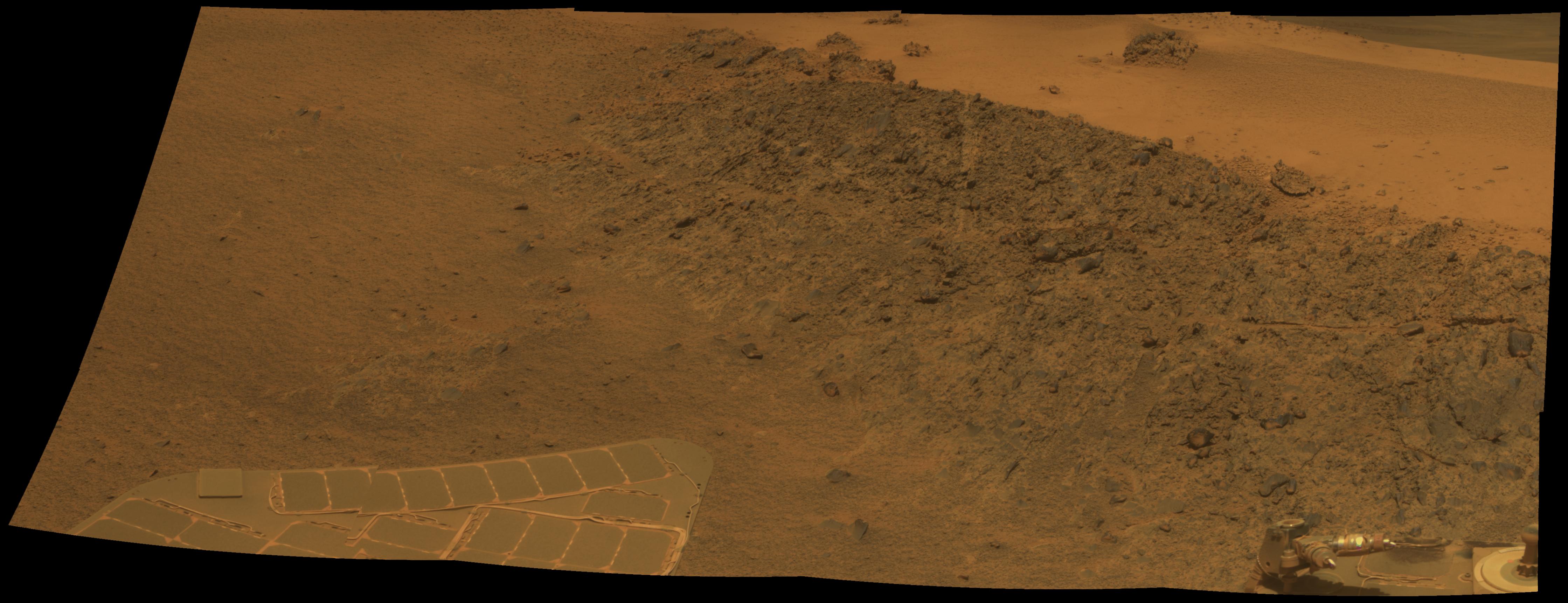
Mars
Mars Exploration Rover (MER)
Panoramic Camera
4478x1722x3
PIA15119:
'Greeley Haven' Site for Opportunity's Fifth Martian Winter
Full Resolution:
TIFF
(23.13 MB)
JPEG
(694.1 kB)
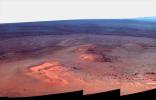
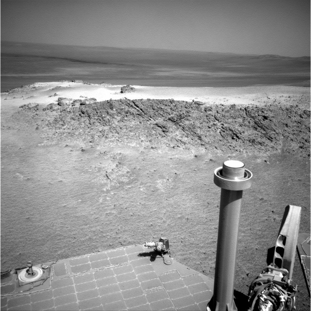
2012-01-05
Mars
Mars Exploration Rover (MER)
Panoramic Camera
4478x1722x3
PIA15275:
'Greeley Haven' Site for Opportunity's Fifth Martian Winter (False Color)
Full Resolution:
TIFF
(23.13 MB)
JPEG
(1.402 MB)
2012-01-05
Mars
Mars Exploration Rover (MER)
Mars Reconnaissance Orbiter (MRO)
HiRISE
700x560x1
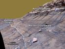
PIA15276:
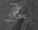
Locator Map for 'Greeley Haven' on Endeavour Rim
Full Resolution:
TIFF
(392.6 kB)
JPEG
(56.54 kB)
2012-01-06
Mars
2001 Mars Odyssey
THEMIS
1360x2761x1
PIA15249:
Tempe Fossae
Full Resolution:
TIFF
(3.759 MB)
JPEG
(355.8 kB)
2012-01-10
Mars
2001 Mars Odyssey
THEMIS
1392x2765x1
PIA15250:
Right Angle
Full Resolution:
TIFF
(3.854 MB)
JPEG
(331.9 kB)
2012-01-10
Mars
2001 Mars Odyssey
THEMIS
1280x2755x1
PIA15270:
Elysium Mons
Full Resolution:
TIFF
(3.53 MB)
JPEG
(439 kB)
2012-01-11
Mars
2001 Mars Odyssey
THEMIS
1373x2762x1
PIA15271:
Windstreaks
Full Resolution:
TIFF
(3.797 MB)
JPEG
(577.7 kB)
2012-01-12
Mars
2001 Mars Odyssey
THEMIS
1449x2929x1
PIA15302:
Candor Chasma
Full Resolution:
TIFF
(4.249 MB)
JPEG
(225.7 kB)
2012-01-14
Mars
2001 Mars Odyssey
THEMIS
735x1561x1
PIA15303:
Daedalia Planum
Full Resolution:
TIFF
(1.149 MB)
JPEG
(162.6 kB)
2012-01-17
Mars
2001 Mars Odyssey
THEMIS
1354x2773x1
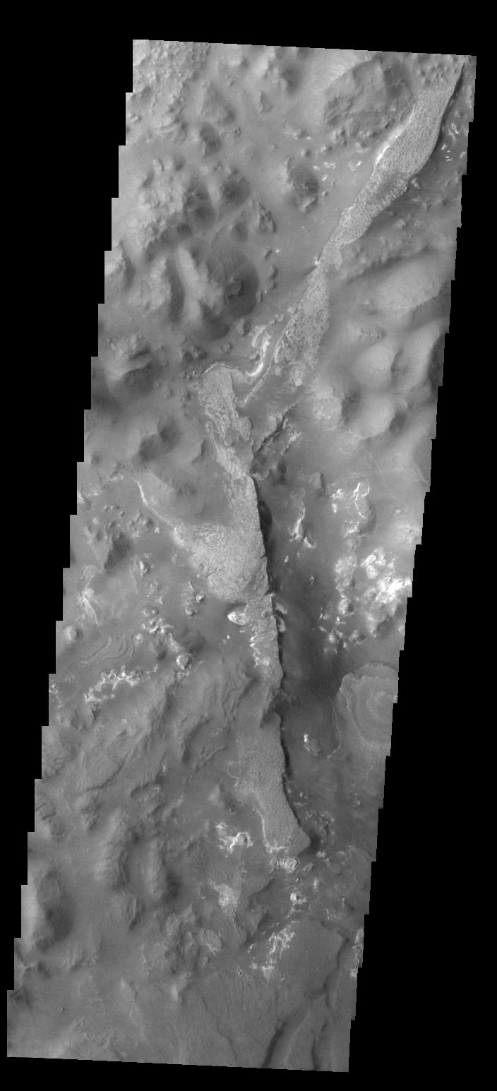
PIA15304:
Lava
Full Resolution:
TIFF
(3.759 MB)
JPEG
(597.4 kB)
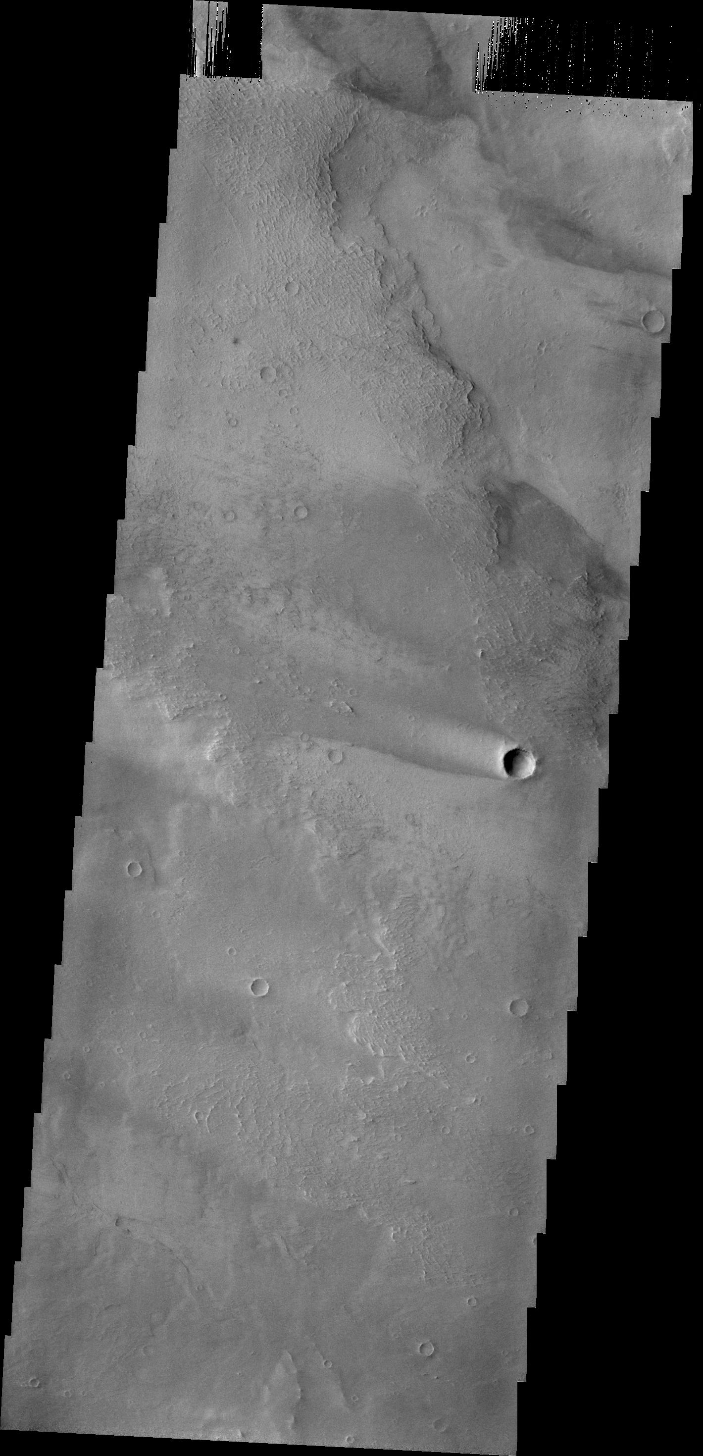
2012-01-17
Mars
2001 Mars Odyssey
THEMIS
1397x2773x1
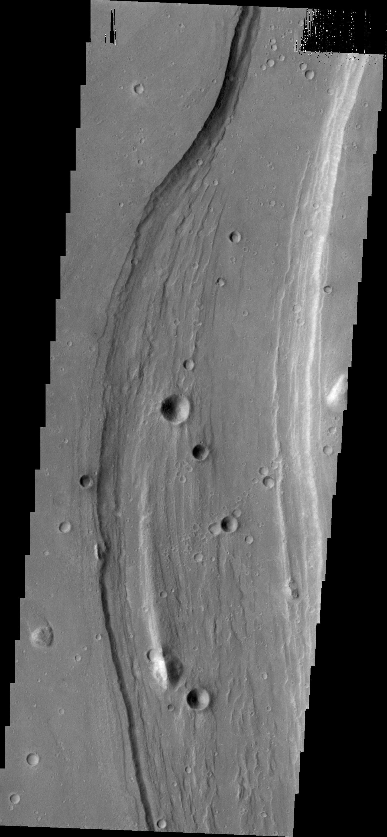
PIA15305:
Channel
Full Resolution:
TIFF
(3.879 MB)
JPEG
(344 kB)
2012-01-18
Mars
2001 Mars Odyssey
THEMIS
1342x2910x1
PIA15306:
Windstreaks
Full Resolution:
TIFF
(3.909 MB)
JPEG
(508.7 kB)
2012-01-19
Mars
2001 Mars Odyssey
THEMIS
1327x2764x1
PIA15307:
Dark Slope Streaks
Full Resolution:
TIFF
(3.672 MB)
JPEG
(321.6 kB)
2012-01-20
Mars
2001 Mars Odyssey
THEMIS
734x1570x1
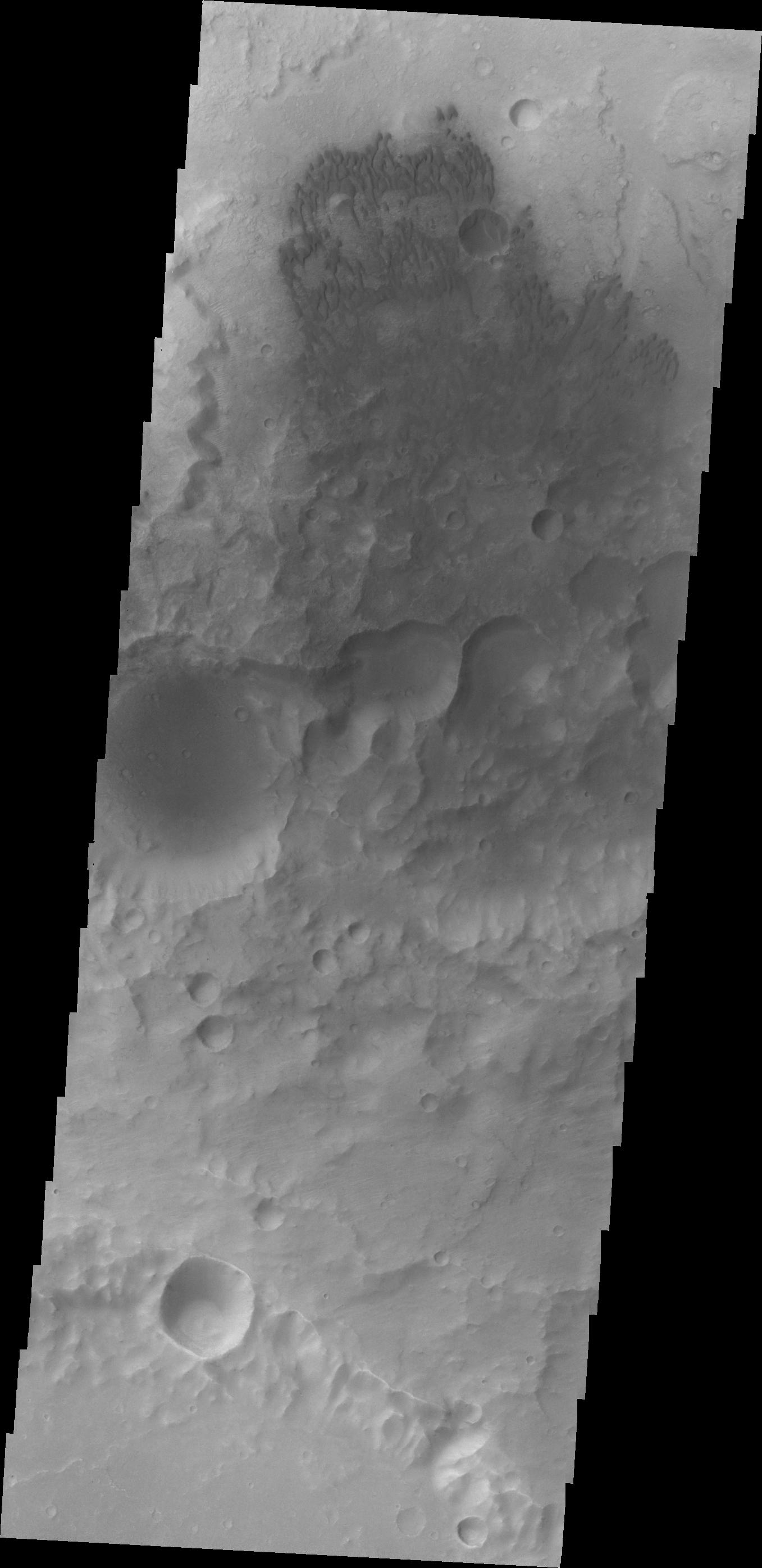
PIA15308:
Moreux Crater Dunes
Full Resolution:
TIFF
(1.154 MB)
JPEG
(61.88 kB)
2012-01-23
Mars
2001 Mars Odyssey
THEMIS
1392x2776x1
PIA15309:
Echus Chasma
Full Resolution:
TIFF
(3.869 MB)
JPEG
(507 kB)
2012-01-24
Mars
2001 Mars Odyssey
THEMIS
1350x2771x1
PIA15310:
Wind Erosion
Full Resolution:
TIFF
(3.745 MB)
JPEG
(520.4 kB)
2012-01-24
Mars
Mars Exploration Rover (MER)
Panoramic Camera
3976x2542x3
PIA15281:
Opportunity's Eighth Anniversary View From 'Greeley Haven'
Full Resolution:
TIFF
(30.32 MB)
JPEG
(935.4 kB)
2012-01-24
Mars
Mars Exploration Rover (MER)
Panoramic Camera
3976x2542x3
PIA15282:
Opportunity's Eighth Anniversary View From 'Greeley Haven' (False Color)
Full Resolution:
TIFF
(30.32 MB)
JPEG
(1.452 MB)
2012-01-25
Mars
Mars Reconnaissance Orbiter (MRO)
HiRISE
2023x2008x3
PIA15283:
Dunes in Noachis Terra Region of Mars
Full Resolution:
TIFF
(12.2 MB)
JPEG
(593 kB)
1-100
101-200
201-300
301-400
401-500
501-600
601-700
701-800
801-900
901-1000
Currently displaying images:
7061 - 7160
of 12723


