Your search criteria found
12723
images
Target is Mars
Go to PIAxxxxx:
Refine this list of images by:
Target:
Mars
Sun
Titan
Vesta
Mission:
2001 Mars Odyssey
Antarctic Meteorite Location and Mapping Project (AMLAMP)
Cassini-Huygens
Dawn
ExoMars
Hubble Space Telescope
InSight
MAVEN
Mariner Mars 1964 (Mariner 4)
Mariner Mars 1969 (Mariner 7)
Mariner Mars 1971 (Mariner 9)
Mars 2020
Mars 2020 Rover
Mars Atmosphere and Volatile Evolution MissioN (MAVEN)
Mars Climate Orbiter
Mars Cube One (MarCO)
Mars Exploration Rover (MER)
Mars Express (MEX)
Mars Global Surveyor (MGS)
Mars Helicopter
Mars Pathfinder (MPF)
Mars Reconnaissance Orbiter (MRO)
Mars Sample Return
Mars Sample Return (MSR)
Mars Science Laboratory (MSL)
Phoenix
Rosetta
Viking
Spacecraft:
2001 Mars Odyssey
Curiosity
Dawn
InSight Mars Lander
Ingenuity
MAVEN
MarCO-B
Mariner 4
Mariner 7
Mariner 9
Mars Climate Orbiter
Mars Express (MEX)
Mars Express (MEX) Orbiter
Mars Global Surveyor Orbiter
Mars Pathfinder Lander
Mars Pathfinder Rover
Mars Reconnaissance Orbiter (MRO)
Mars Sample Return
Mars Science Laboratory (MSL)
NASA's Mars Pathfinder Lander
Opportunity
Perseverance
Philae Lander
Phoenix Lander
Phoenix Mars Lander
Spirit
Viking Lander 1
Viking Lander 2
Viking Orbiter 1
Viking Orbiter 2
Instrument:
Alpha Particle X-ray Spectrometer
Alpha Particle X-ray Spectrometer (MSL)
Atmospheric Structure / Meteorology Instrument
CHIMRA
Camera 1
Camera 2
Chemistry & Mineralogy (CheMin)
Chemistry and Camera (ChemCam)
Comet Infrared and Visible Analyser (CIVA
Compact Reconnaissance Imaging Spectrometer for Mars (CRISM)
Context Camera (CTX)
Deep Space Network
Descent Image Motion Estimation System (DIMES)
Dynamic Albedo of Neutrons
Dynamic Albedo of Neutrons (DAN)
Gamma Ray Spectrometer - Neutron Spectrometer
Gamma Ray Spectrometer Suite
Hazard Avoidance Camera
Hazard Avoidance Camera (M2020)
Hazard Avoidance Camera (MSL)
Heat and Physical Properties Package (HP3)
High Resolution Imaging Science Experiment (HiRISE)
High Resolution Instrument (HRI)
High Resolution Stereo Camera
Imager for Mars Pathfinder
Imaging Science Subsystem
Imaging Ultraviolet Spectrograph
Imaging Ultraviolet Spectrograph (IUVS)
Instrument Context Camera (ICC)
Instrument Deployment Camera (IDC)
Lander Vision System Camera (LCAM)
Magnetometer
Mars Advanced Radar for Subsurface and Ionosphere Sounding (MARSIS)
Mars Advanced Radar for Subsurface and Ionospheric Sounding (MARSIS)
Mars Climate Sounder (MCS)
Mars Color Imager (MARCI)
Mars Descent Imager
Mars Environmental Dynamics Analyzer (MEDA)
Mars Hand Lens Imager (MAHLI)
Mars Horizon Sensor Assembly
Mars Orbiter Camera (MOC)
Mars Orbiter Laser Altimeter
Mars Radiation Experiment
Mastcam
Mastcam-Z
Microscopic Imager
Microscopy Electrochemistry and Conductivity Analyzer (MECA)
Miniature Thermal Emission Spectrometer
Moessbauer Spectrometer
Navigation Camera
Navigation Camera (M2020)
Navigation Camera (MSL)
Neutral Gas and Ion Mass Spectrometer
Neutron Spectrometer
Optical Microscope
Panoramic Camera
Planetary Instrument for X-ray Lithochemistry (PIXL)
Radar System
Radiation Assessment Detector (RAD)
Radio Science Subsystem
Robotic Arm
Robotic Arm (MSL)
Robotic Arm Camera (RAC)
Rock Abrasion Tool (RAT)
Rover Cameras
Rover Environmental Monitoring Station (REMS)
Sample Analysis at Mars (SAM)
Scanning Habitable Environments with Raman & Luminescence for Organics and Chemicals (SHERLOC)
Seismic Experiment for Interior Structure (SEIS)
Shallow Subsurface Radar (SHARAD)
Stereo Imager (SSI)
SuperCam
Surface Stereo Imager (SSI)
Thermal Emission Imaging System
Thermal Emission Spectrometer
Thermal and Electrical Conductivity Probe
Thermal and Evolved Gas Analyzer
Trace Gas Orbiter
Visual Imaging Subsystem
Visual Imaging Subsystem - Camera A
Visual Imaging Subsystem - Camera B
Wide Field Planetary Camera 2
Click on an image for detailed information
Click on a column heading to sort in ascending or descending order
My
List
Addition Date
Target
Mission
Instrument
Size
2011-03-28
Mars
2001 Mars Odyssey
THEMIS
957x2788x1
PIA13947:
Something Different
Full Resolution:
TIFF
(2.671 MB)
JPEG
(290 kB)
2011-03-29
Mars
2001 Mars Odyssey
THEMIS
938x2772x1
PIA13948:
South Polar Surface
Full Resolution:
TIFF
(2.603 MB)
JPEG
(386.7 kB)
2011-03-30
Mars
2001 Mars Odyssey
THEMIS
1309x2775x1
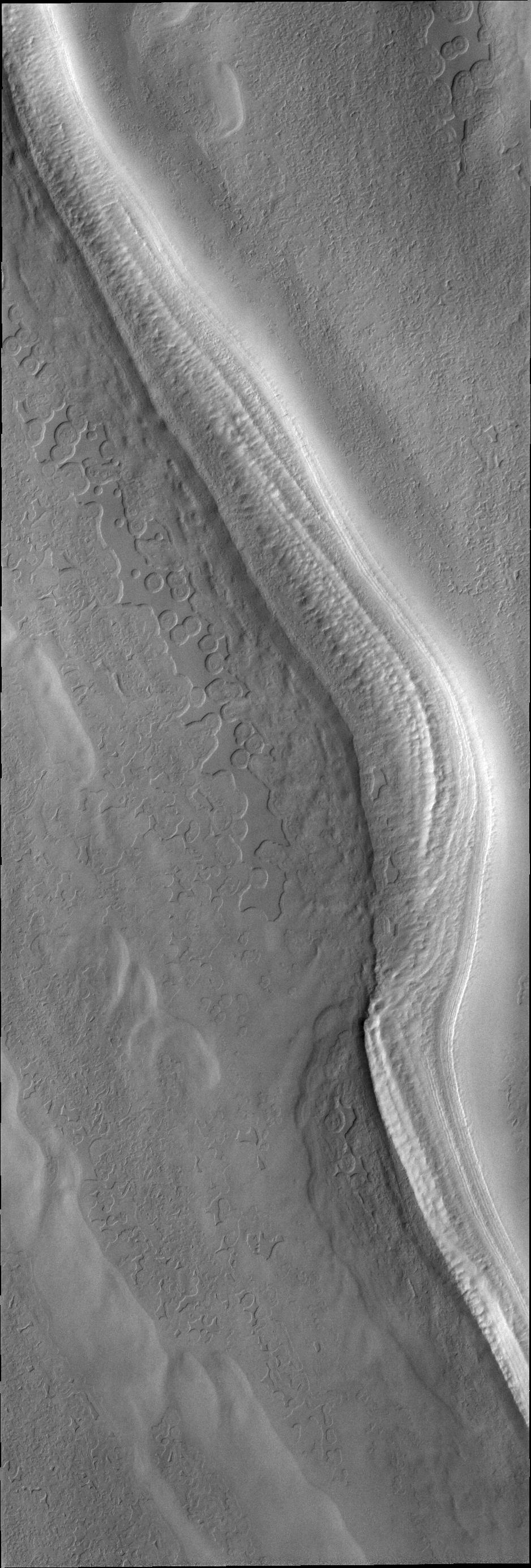
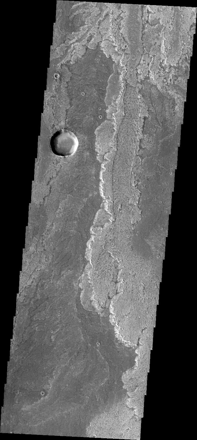
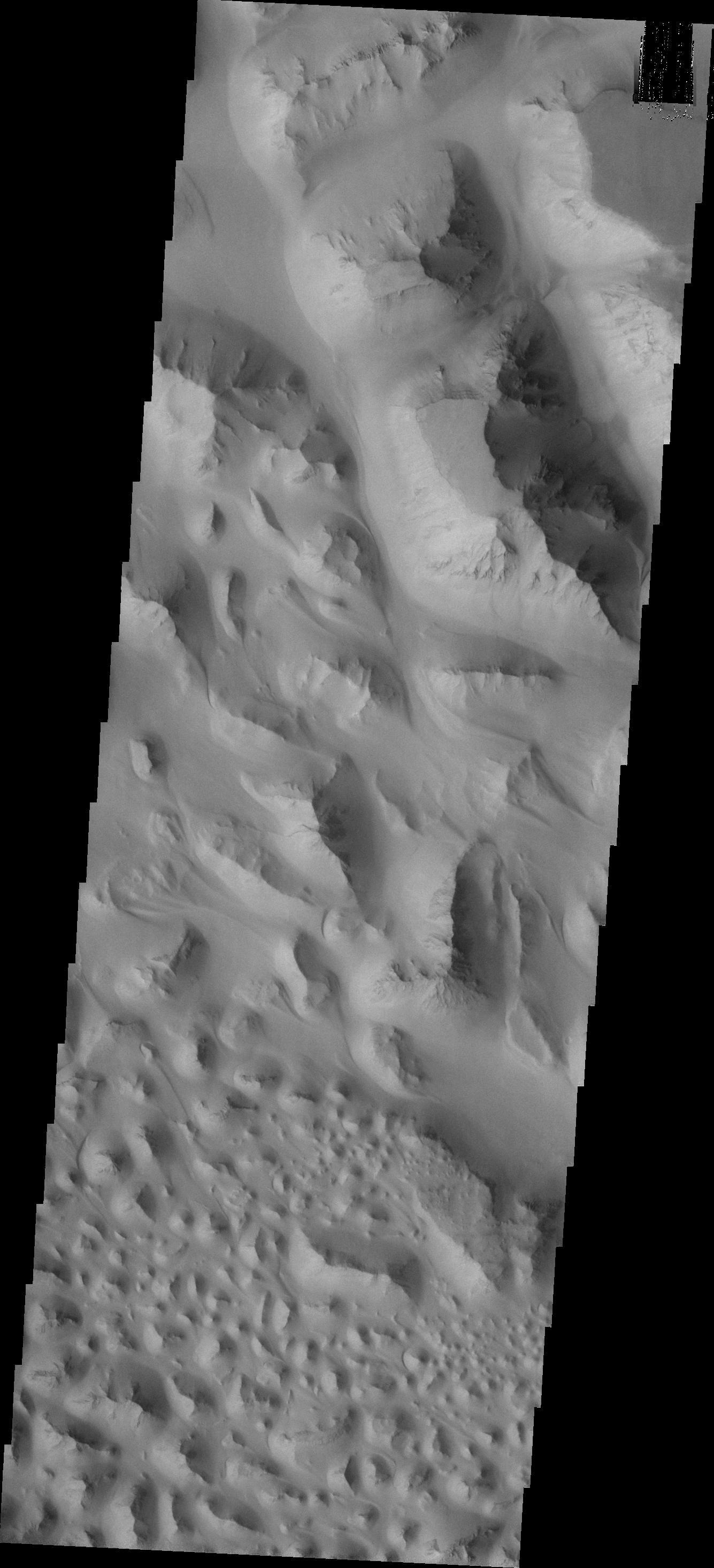
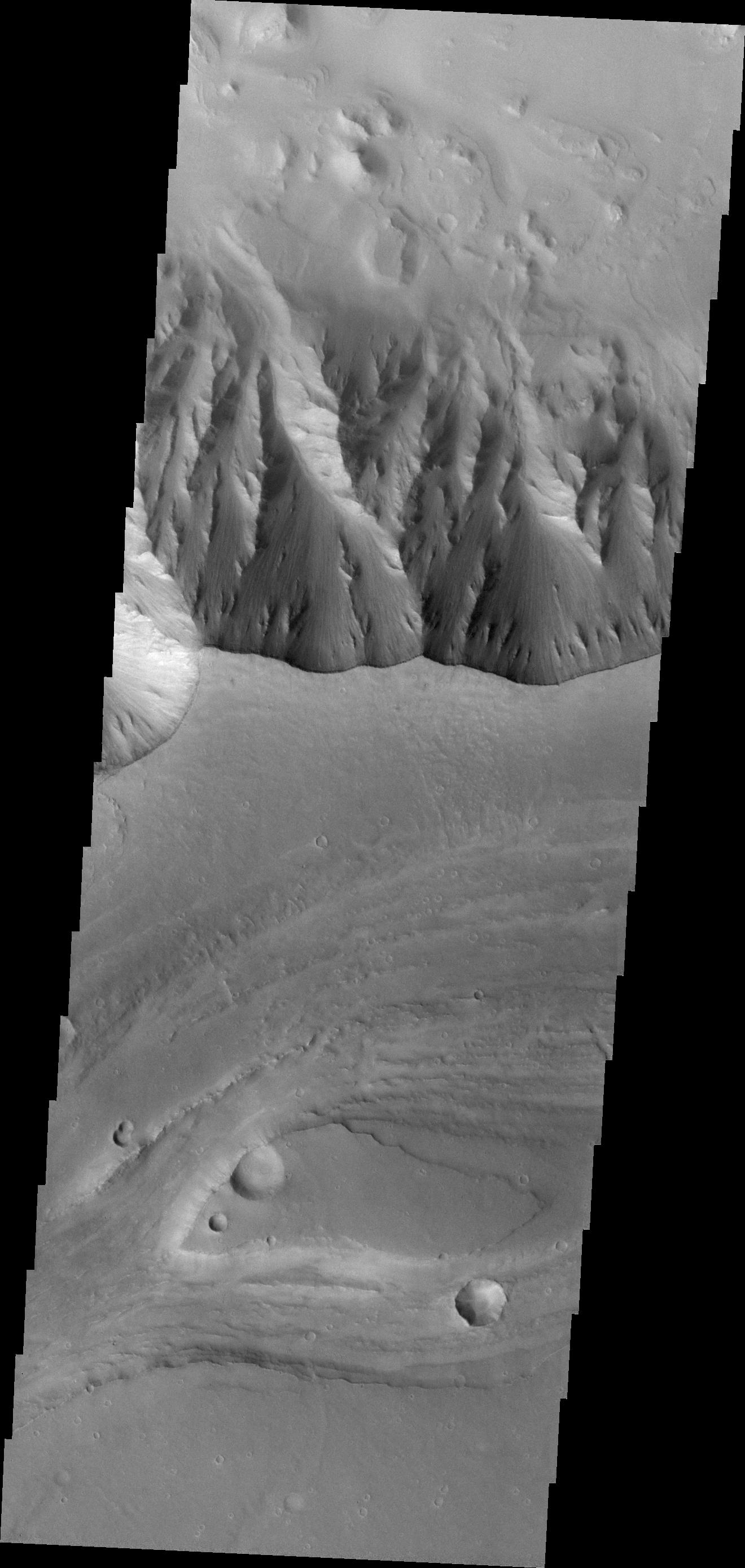
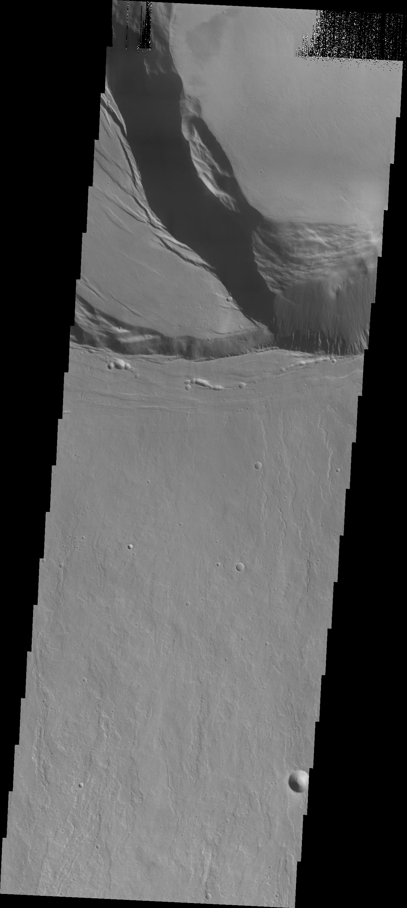
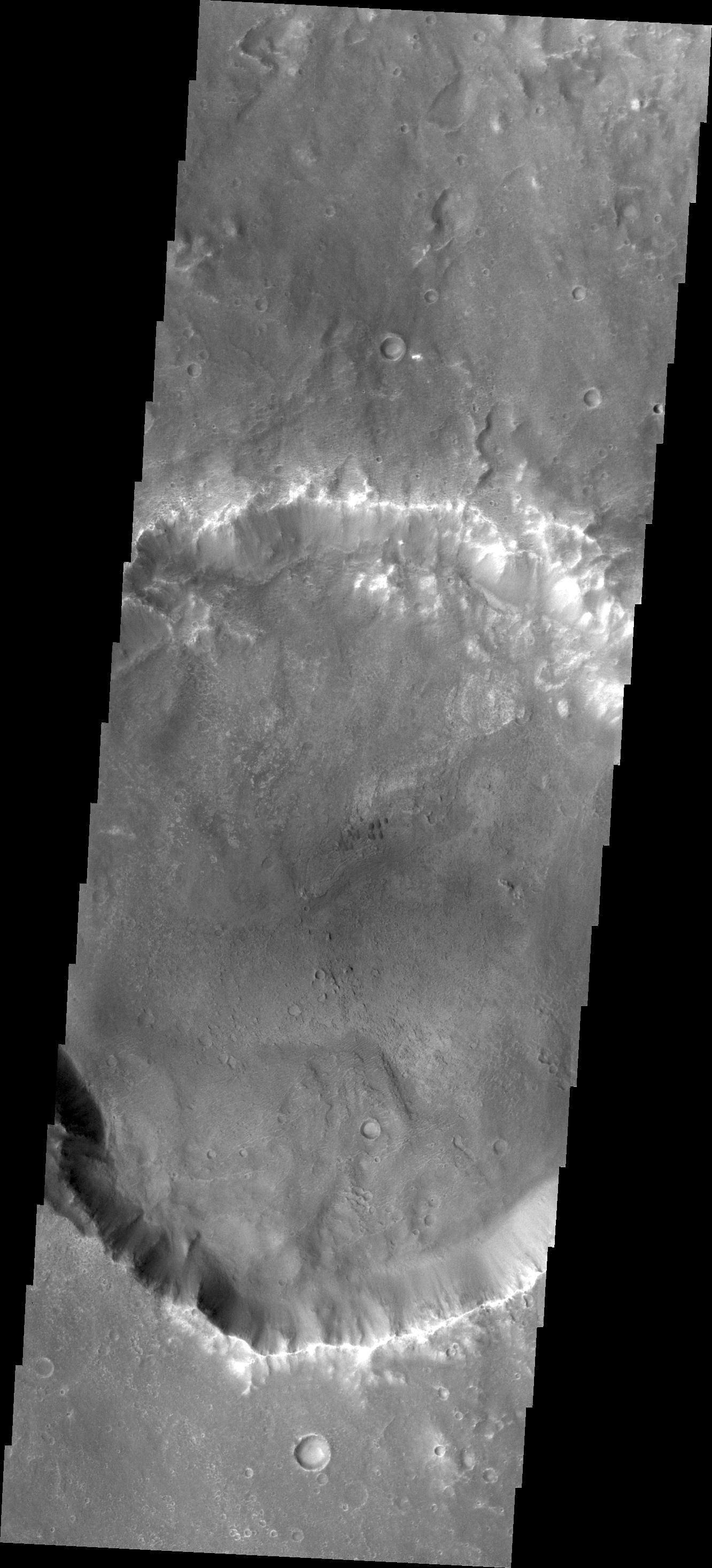
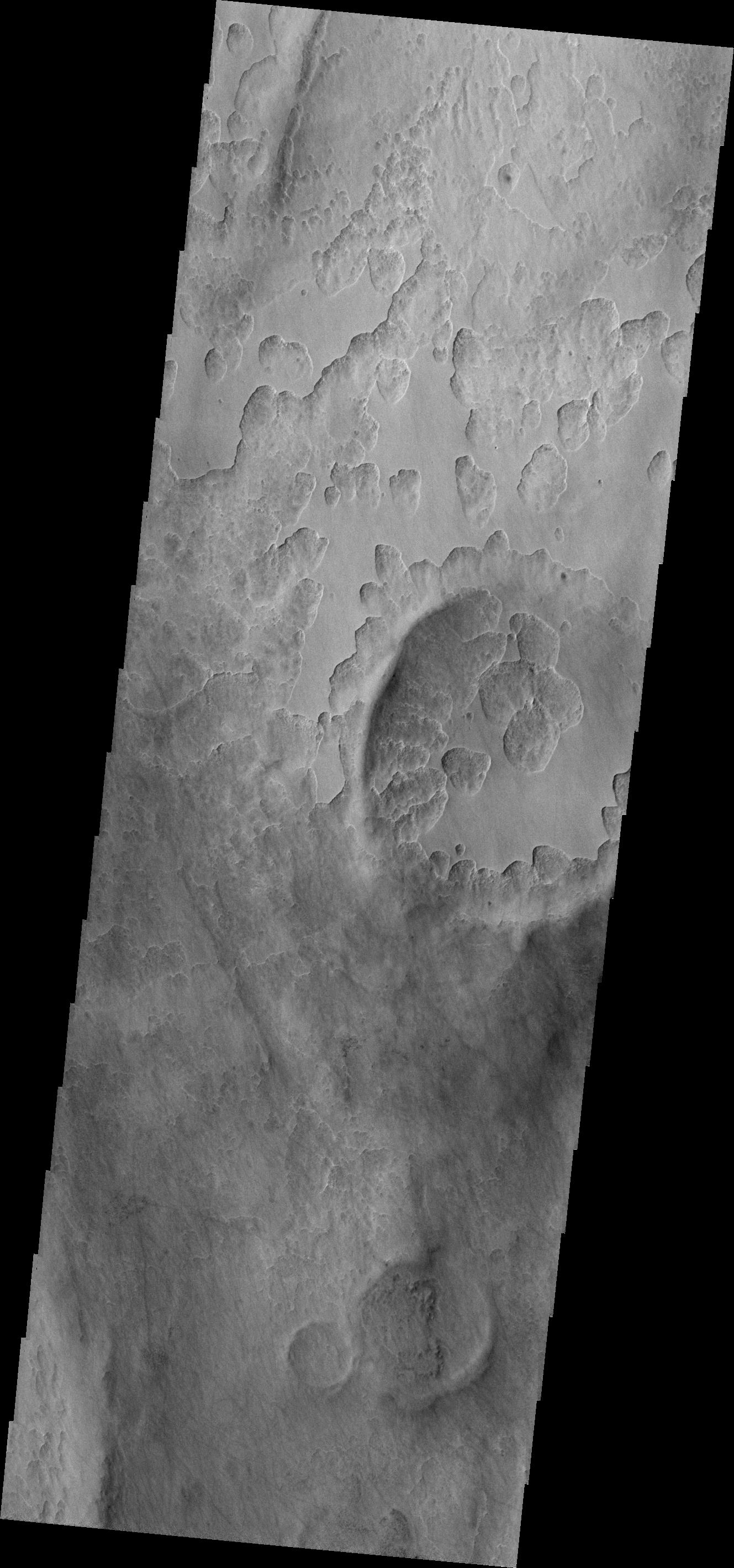
PIA13949:
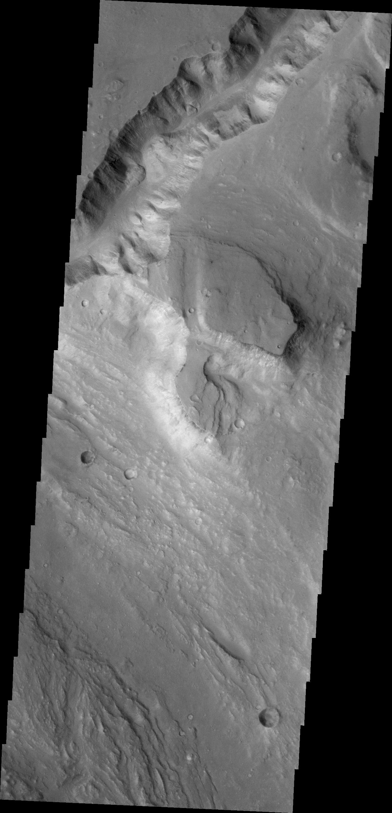
Ius Chasma Mega Gullies
Full Resolution:
TIFF
(3.636 MB)
JPEG
(161.7 kB)
2011-03-31
Mars
2001 Mars Odyssey
THEMIS
670x1459x1
PIA13973:
Windstreaks
Full Resolution:
TIFF
(978.7 kB)
JPEG
(101.9 kB)
2011-04-01
Mars
2001 Mars Odyssey
THEMIS
1341x2920x1
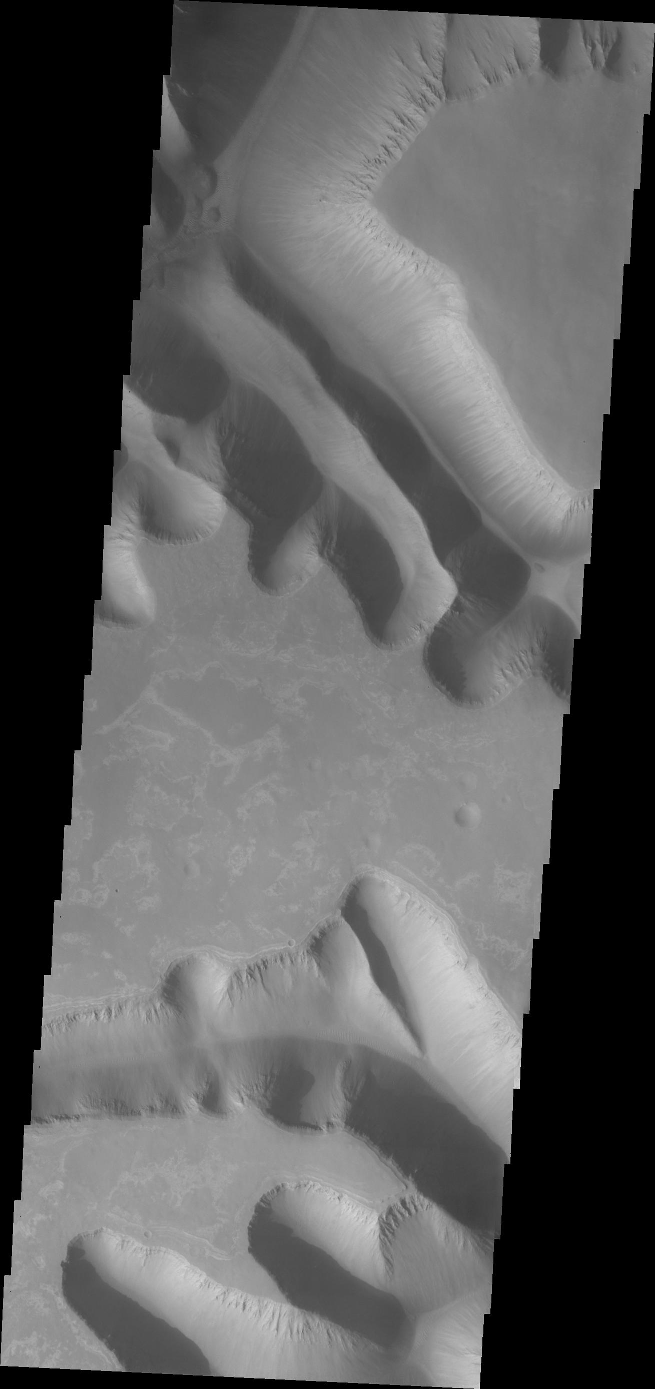
PIA13977:
Layering
Full Resolution:
TIFF
(3.92 MB)
JPEG
(286 kB)
2011-04-04
Mars
2001 Mars Odyssey
THEMIS
1321x2804x1
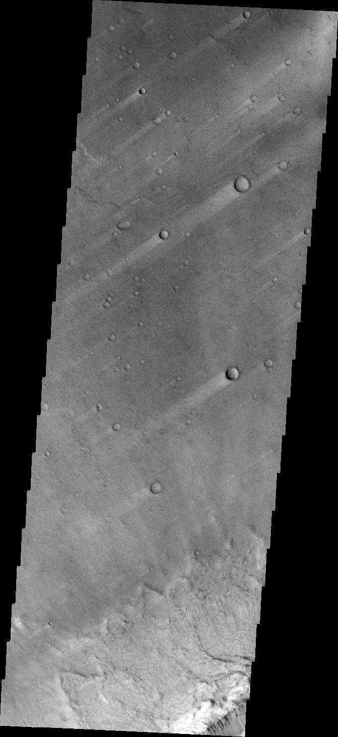
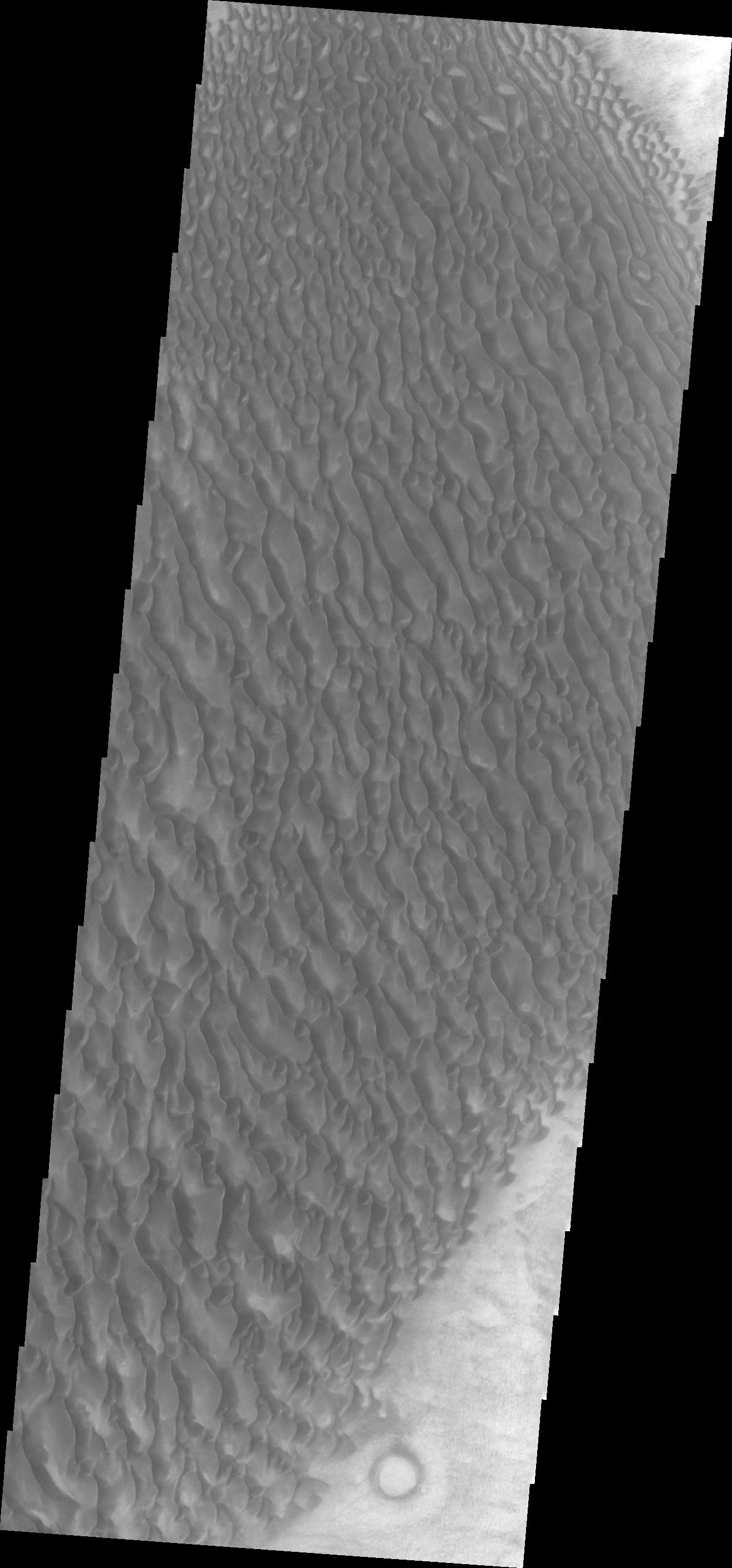
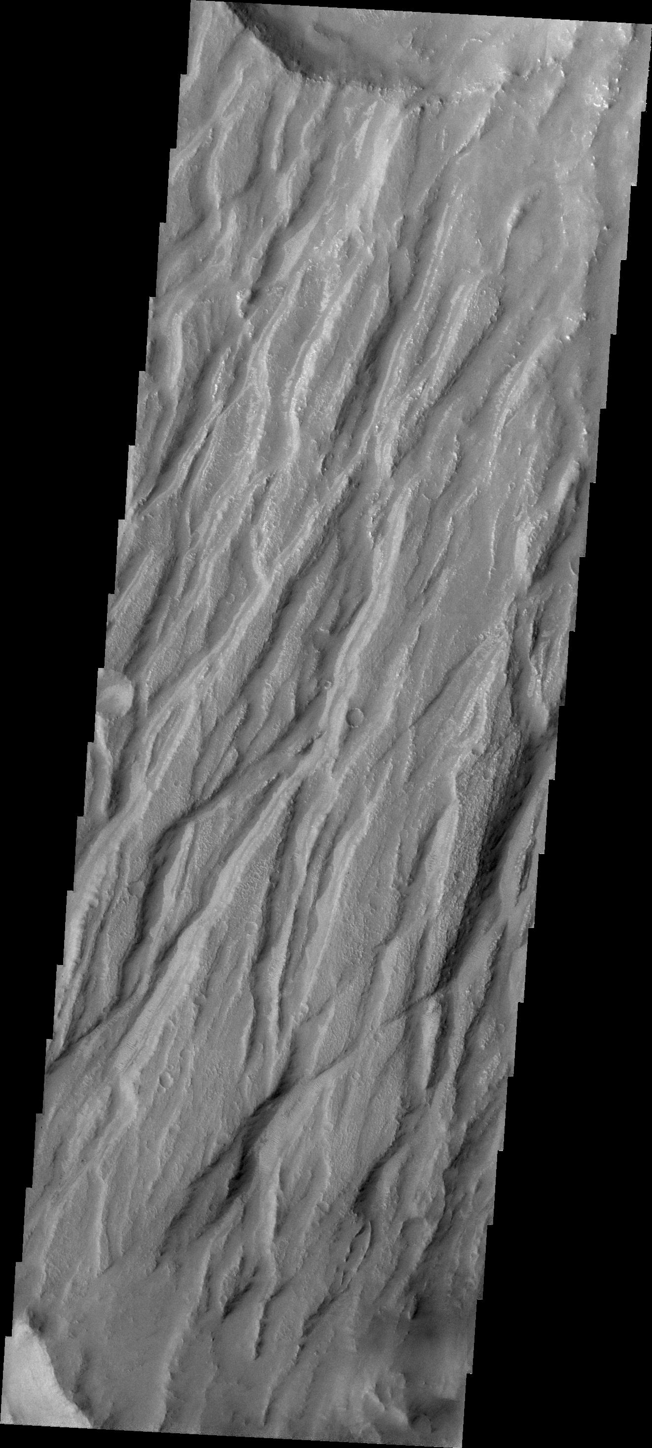
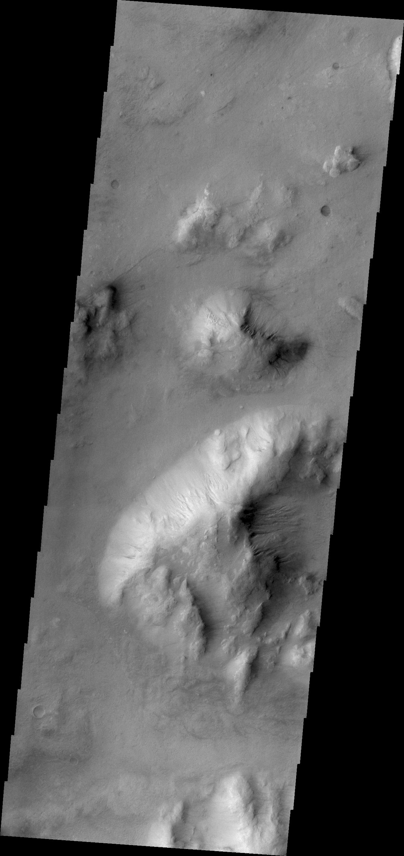
PIA13978:
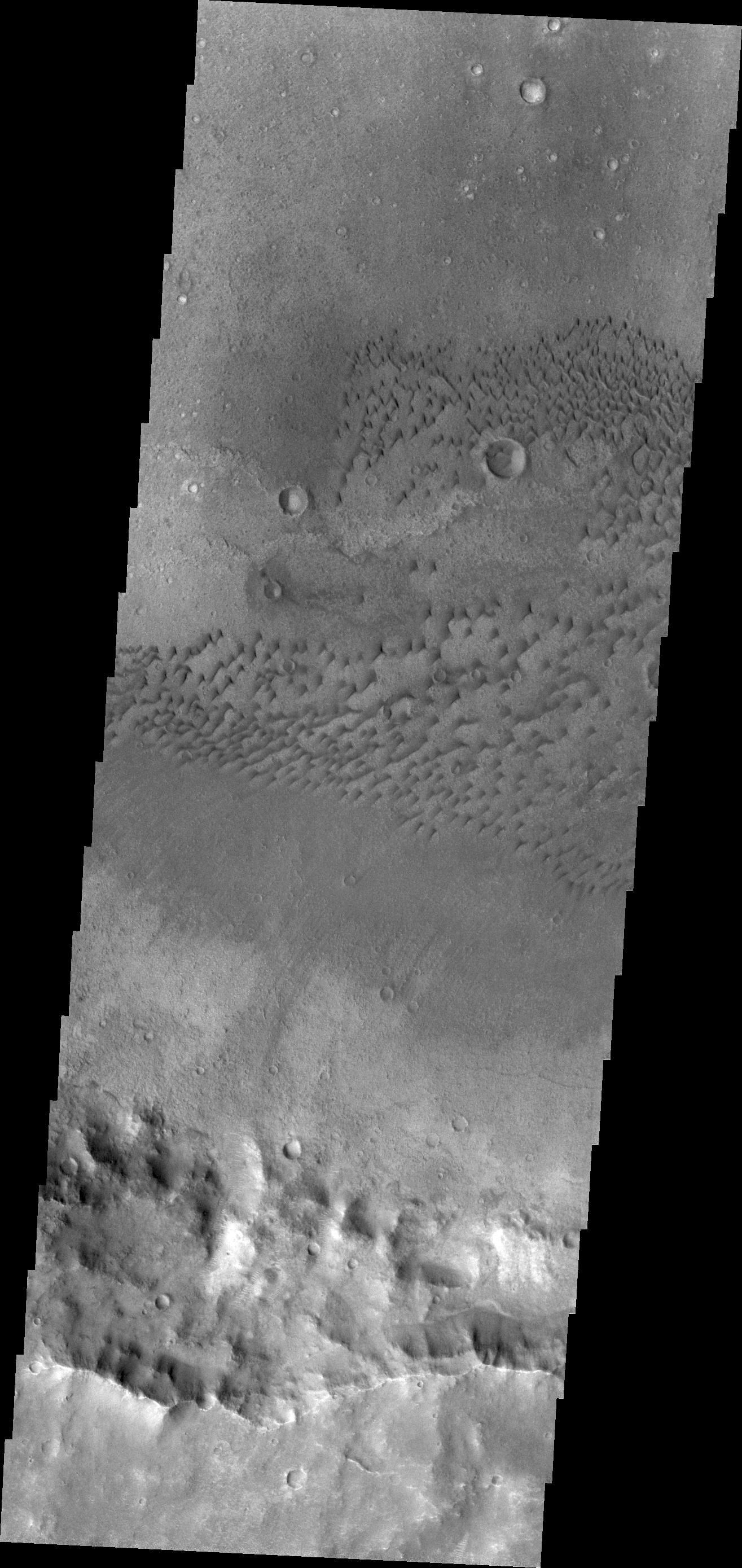
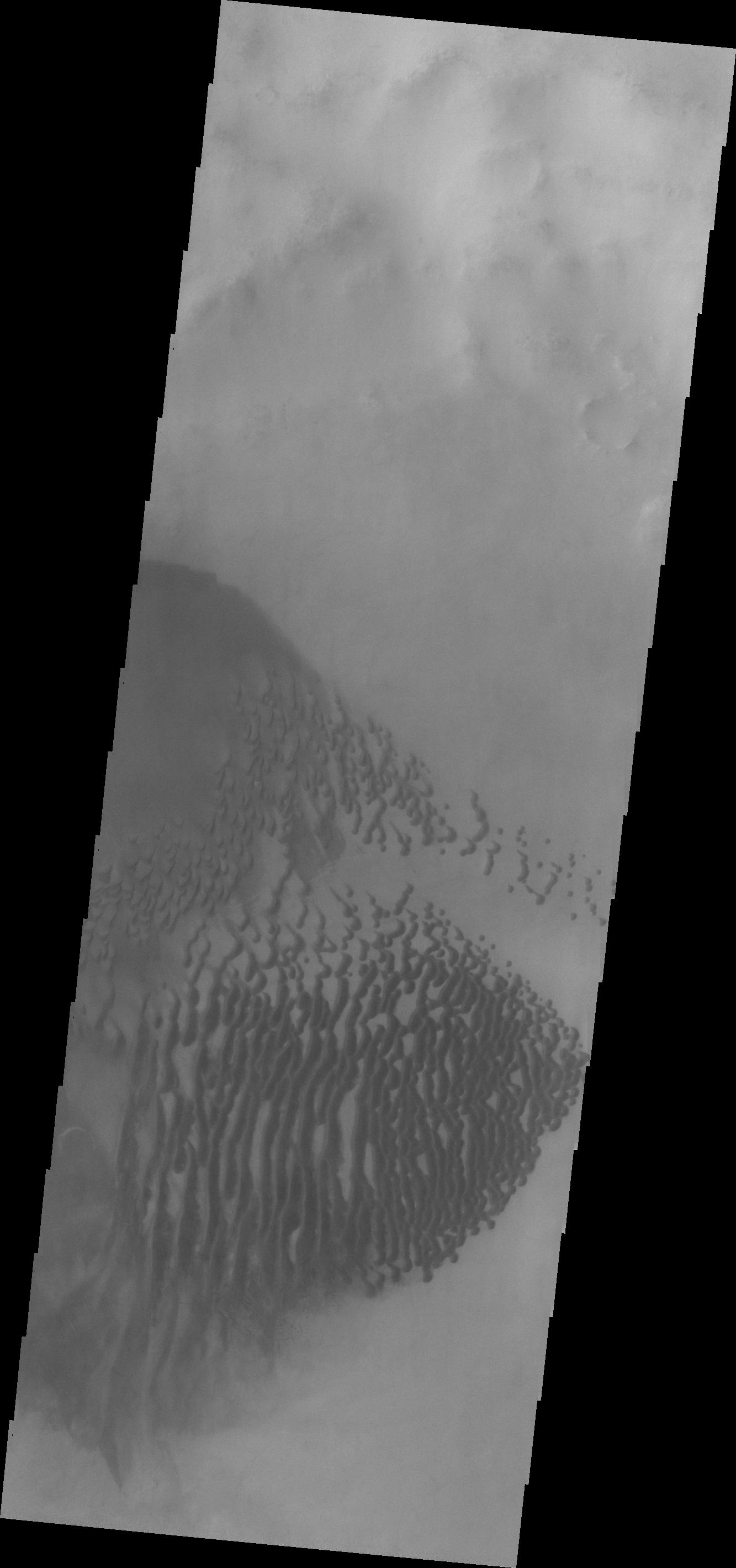
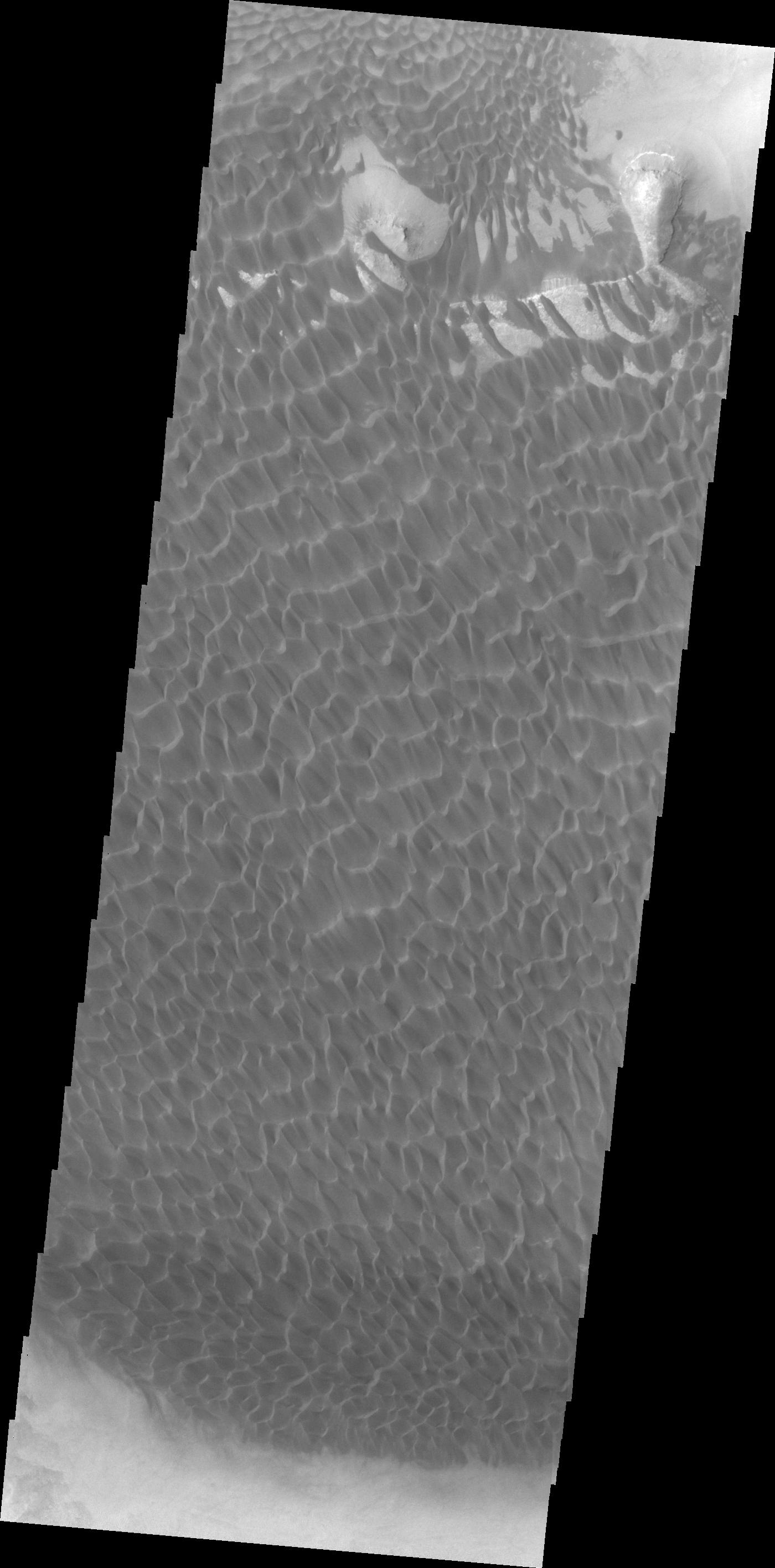
Arkhangelsky Crater Dunes
Full Resolution:
TIFF
(3.708 MB)
JPEG
(352.3 kB)
2011-04-06
Mars
2001 Mars Odyssey
THEMIS
938x2771x1
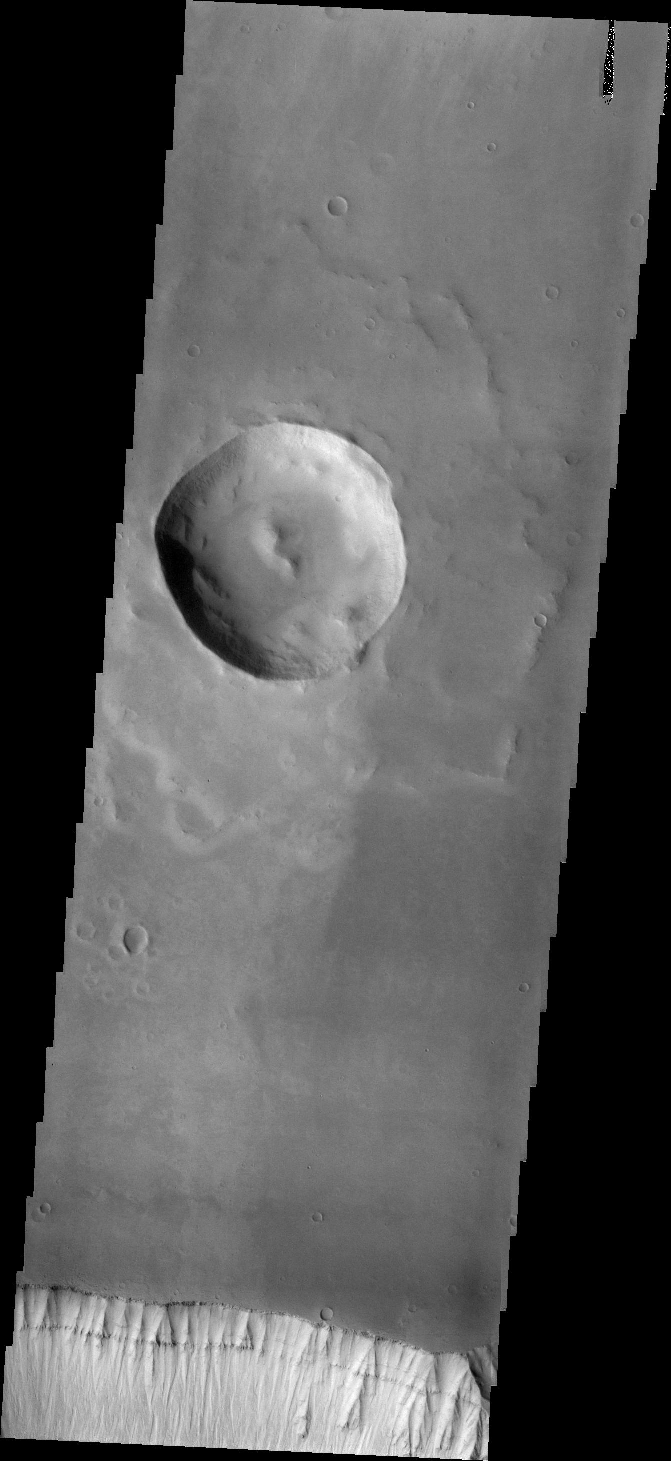
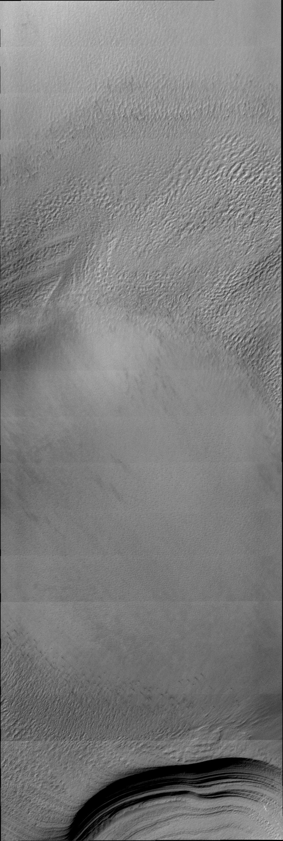
PIA13991:
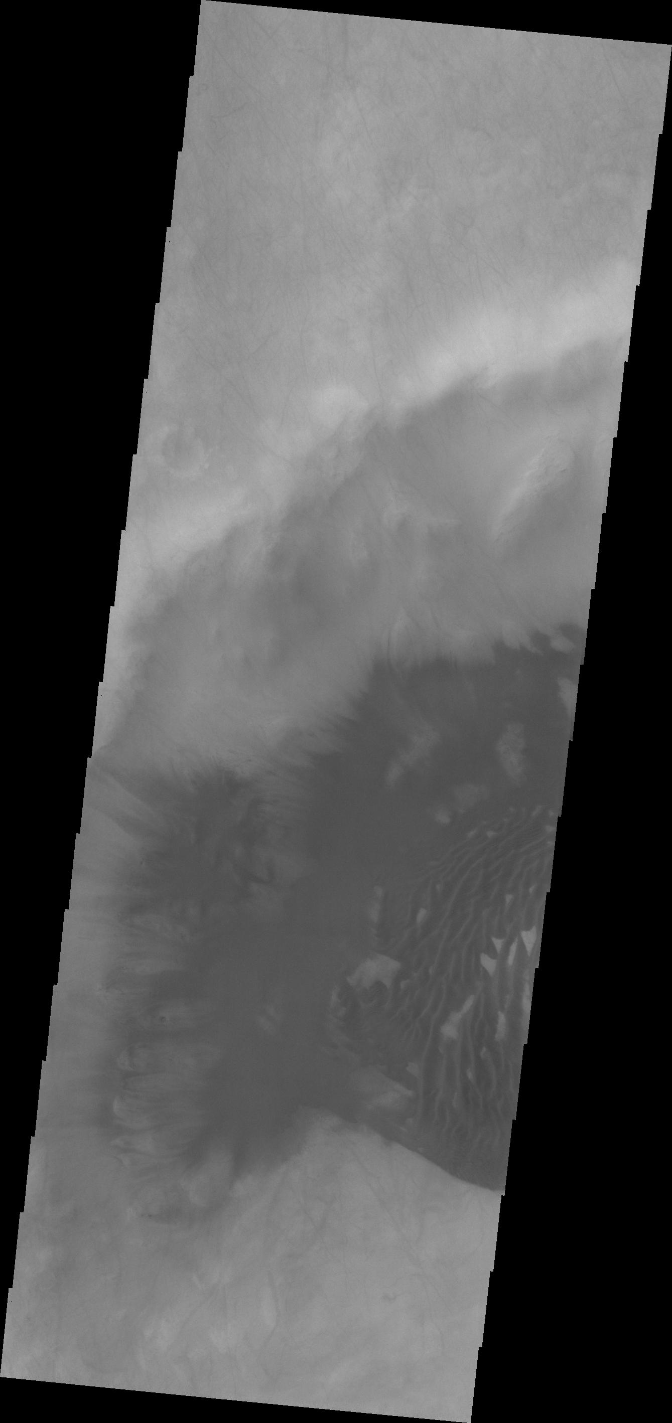
South Polar Clouds
Full Resolution:
TIFF
(2.602 MB)
JPEG
(345.2 kB)
2011-04-06
Mars
2001 Mars Odyssey
THEMIS
1338x2767x1
PIA13992:
Nili Patera Dunes
Full Resolution:
TIFF
(3.706 MB)
JPEG
(391.1 kB)
2011-04-08
Mars
2001 Mars Odyssey
THEMIS
464x1460x1
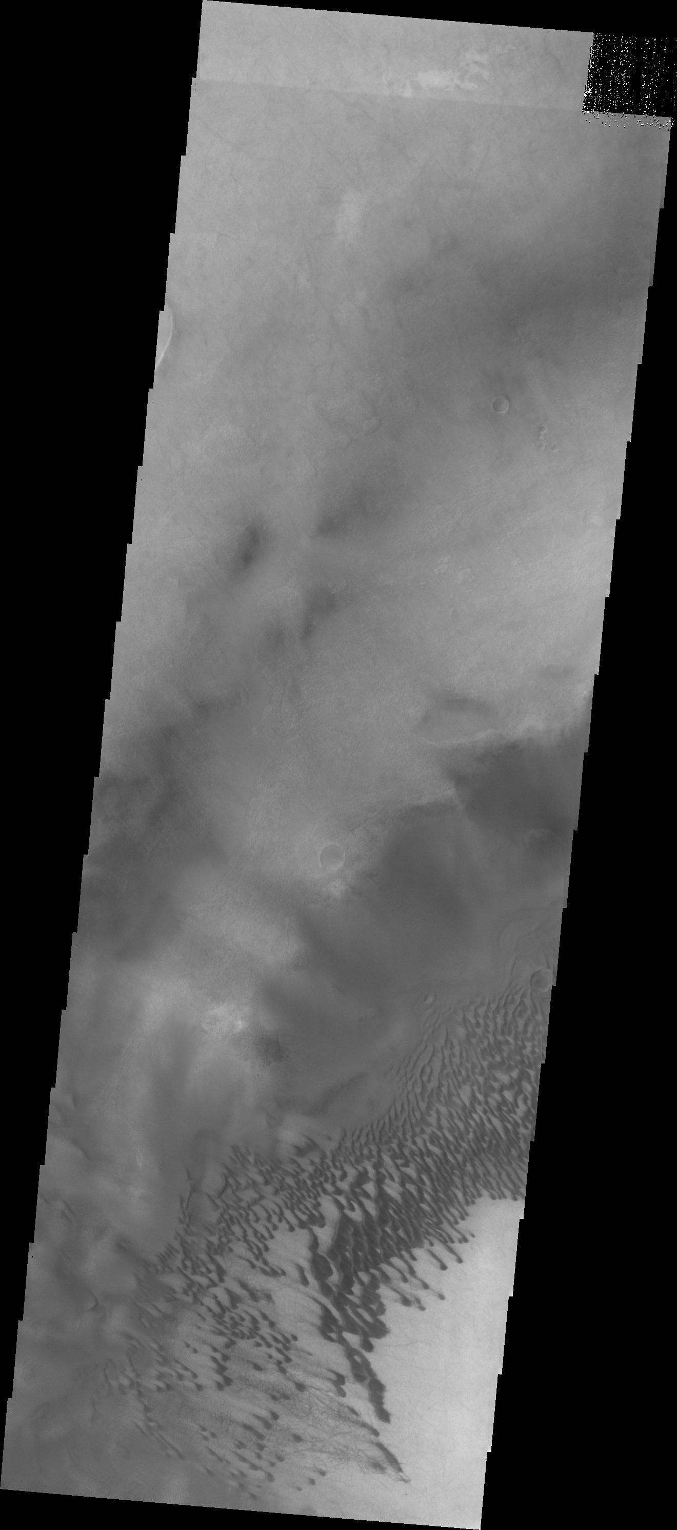
PIA13993:
South Polar Clouds
Full Resolution:
TIFF
(678.4 kB)
JPEG
(87.94 kB)
2011-04-08
Mars
Mars Exploration Rover (MER)
Navigation Camera
Rock Abrasion Tool (RAT)
1024x1024x1
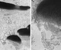
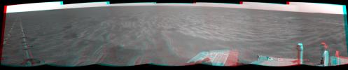
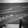
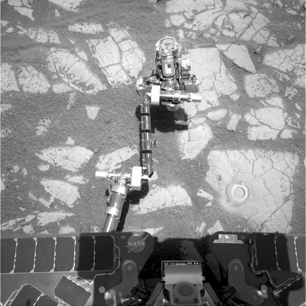
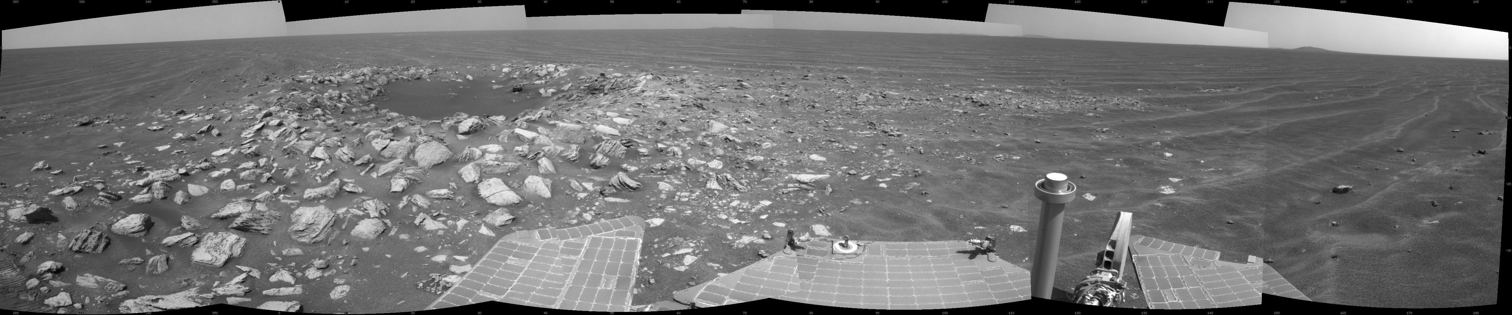
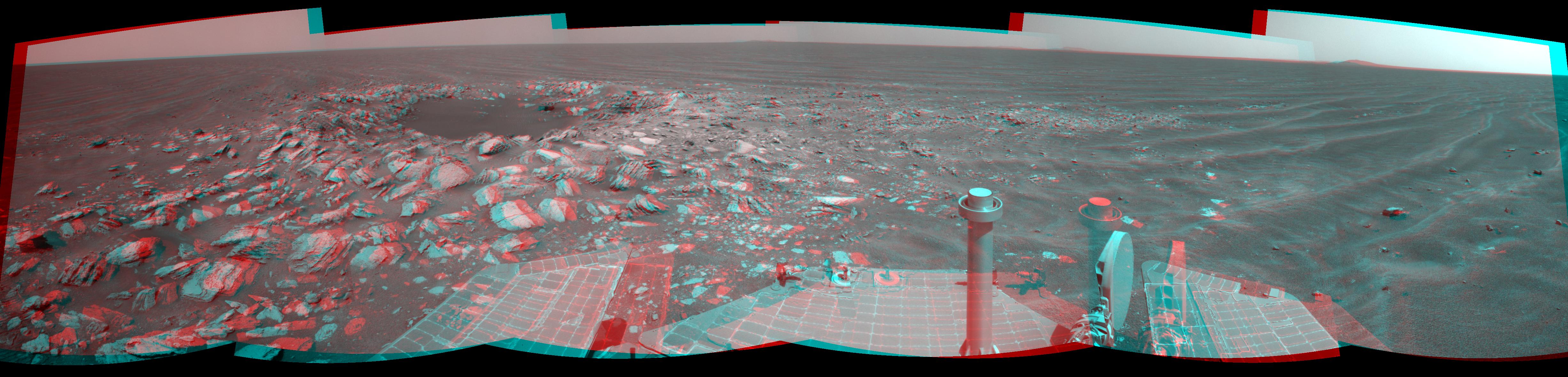
PIA13982:
Opportunity's Arm and 'Gagarin' Rock, Sol 405
Full Resolution:
TIFF
(1.05 MB)
JPEG
(169 kB)
2011-04-08
Mars
Mars Exploration Rover (MER)
Panoramic Camera
1020x1023x3
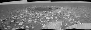
PIA13983:
'Gagarin' Rock Examined by Opportunity in 2005
Full Resolution:
TIFF
(3.135 MB)
JPEG
(83.31 kB)
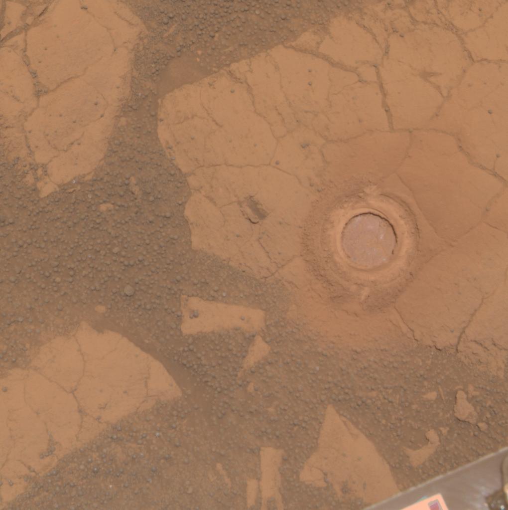
2011-04-08
Mars
Mars Exploration Rover (MER)
Panoramic Camera
1020x1023x3
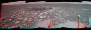
PIA13984:
'Gagarin' Rock Examined by Opportunity in 2005, False Color
Full Resolution:
TIFF
(3.135 MB)
JPEG
(220.8 kB)
2011-04-11
Mars
2001 Mars Odyssey
THEMIS
1327x2781x1
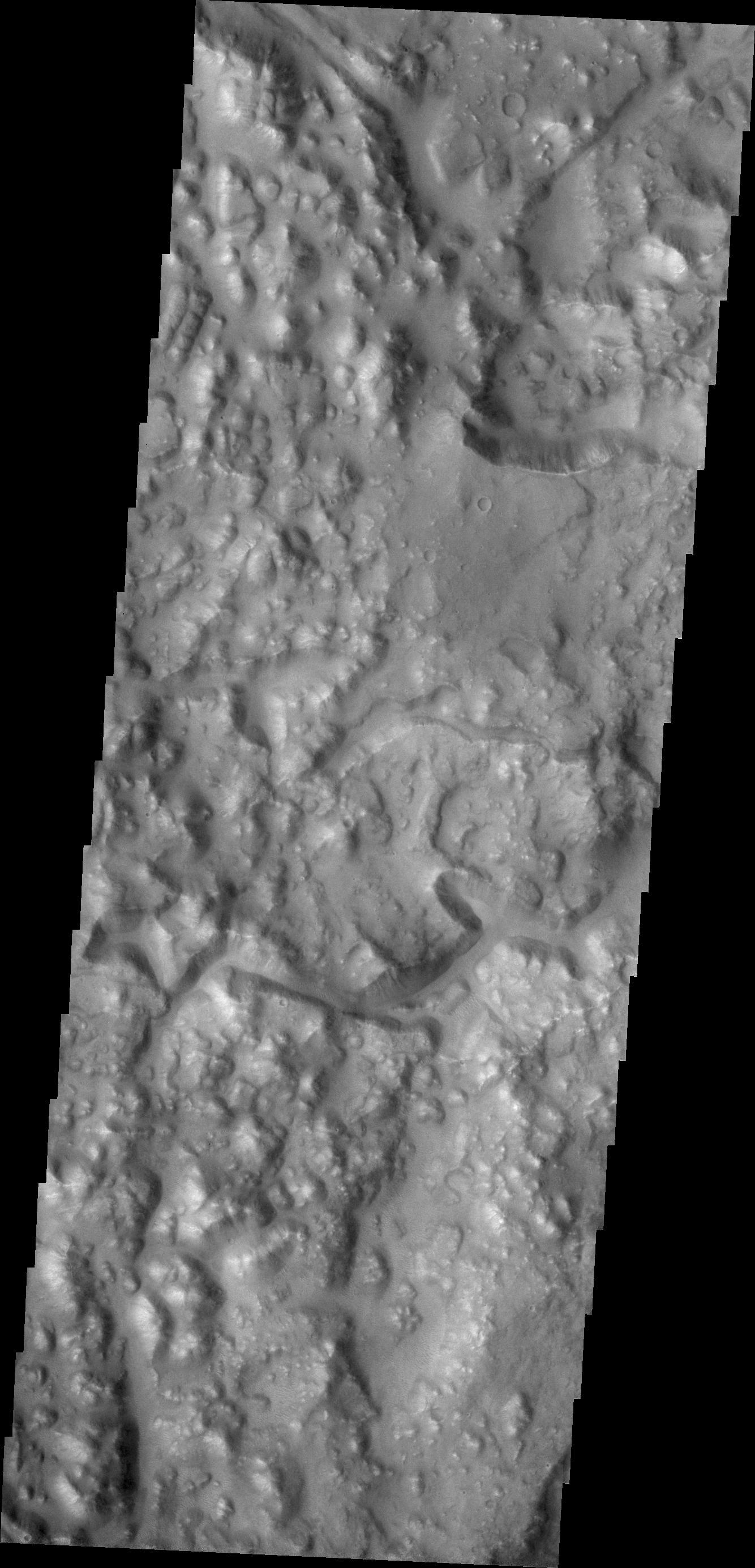
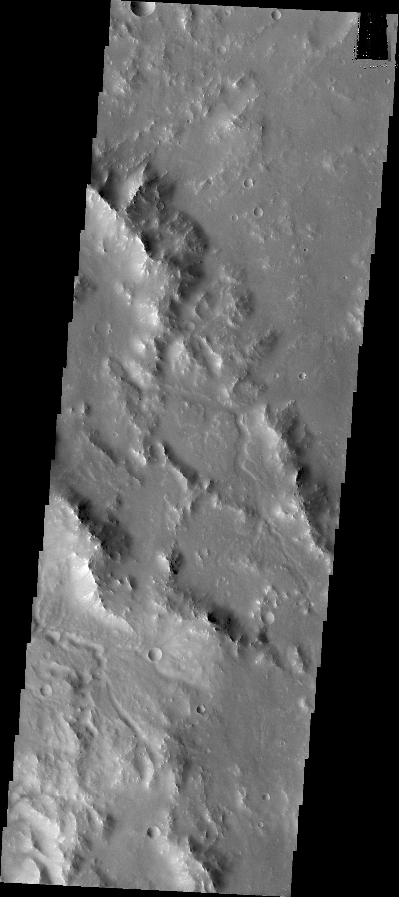
PIA13996:
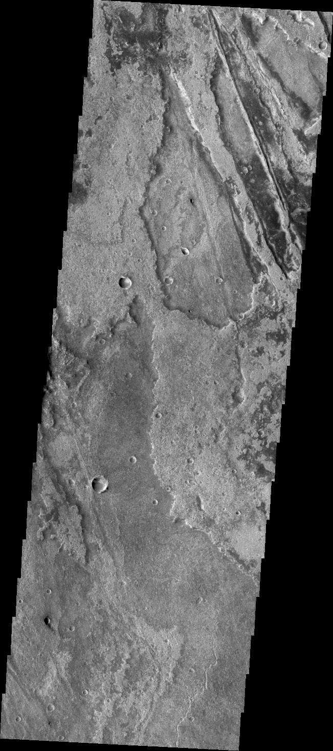
Morava Valles Chaos
Full Resolution:
TIFF
(3.694 MB)
JPEG
(398.2 kB)
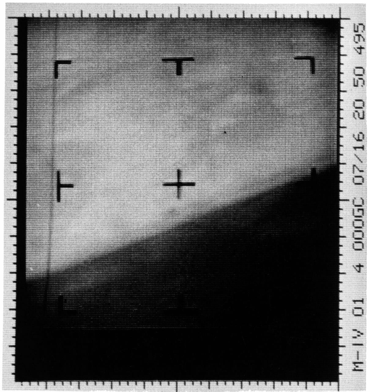
2011-04-12
Mars
Mariner Mars 1964 (Mariner 4)
1209x1280x1
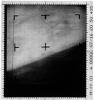
PIA14032:
First TV Image of Mars
Full Resolution:
TIFF
(1.549 MB)
JPEG
(260.9 kB)
2011-04-12
Mars
Mariner Mars 1964 (Mariner 4)
15761x9328x3
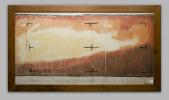
PIA14033:
First TV Image of Mars (Hand Colored)
Full Resolution:
TIFF
(441.1 MB)
JPEG
(18.49 MB)
2011-04-12
Mars
2001 Mars Odyssey
THEMIS
1298x2801x1
PIA14034:
Crater Centers
Full Resolution:
TIFF
(3.64 MB)
JPEG
(296.5 kB)
2011-04-13
Mars
2001 Mars Odyssey
THEMIS
1308x2768x1
PIA14036:
Pavonis Mons
Full Resolution:
TIFF
(3.624 MB)
JPEG
(333.3 kB)
2011-04-14
Mars
2001 Mars Odyssey
THEMIS
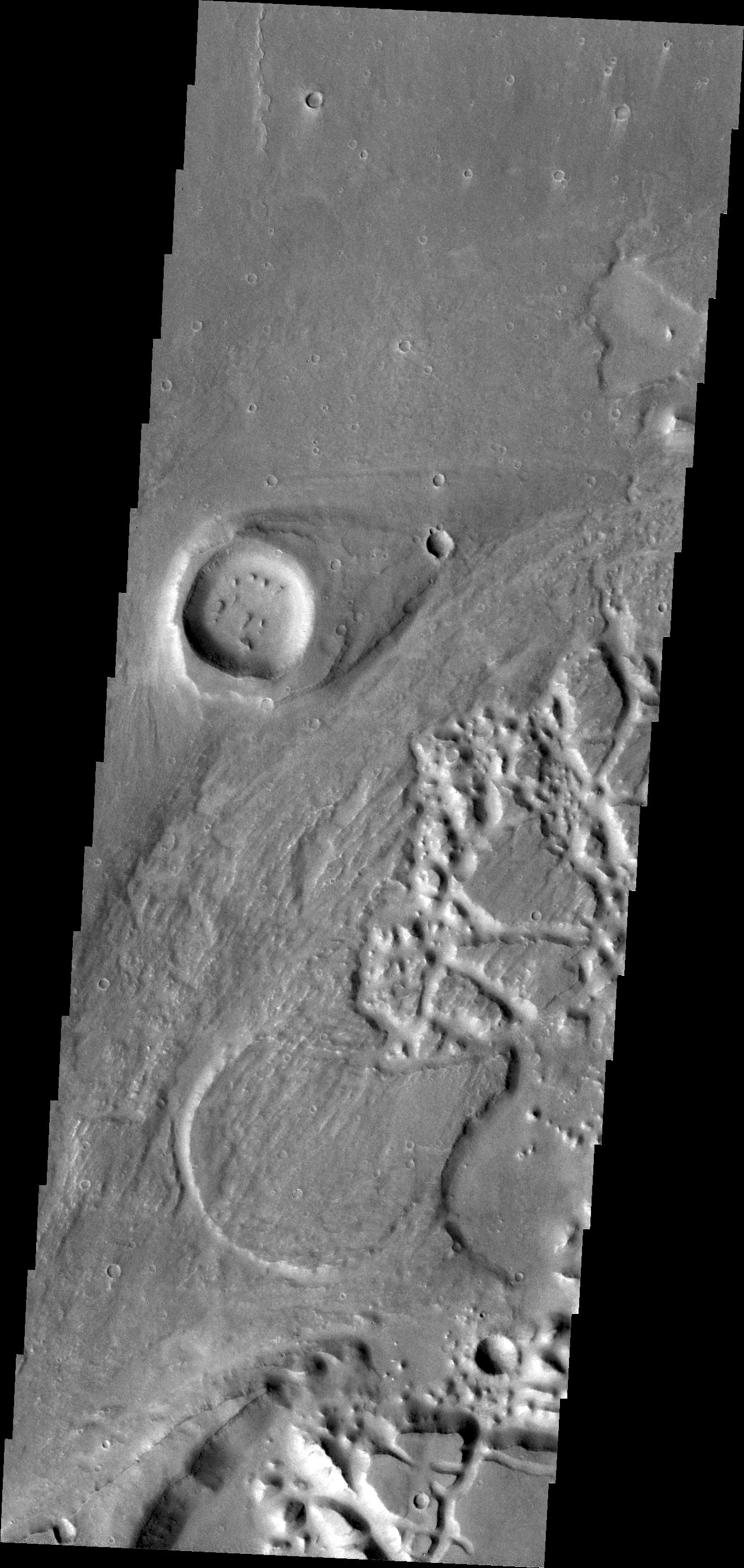
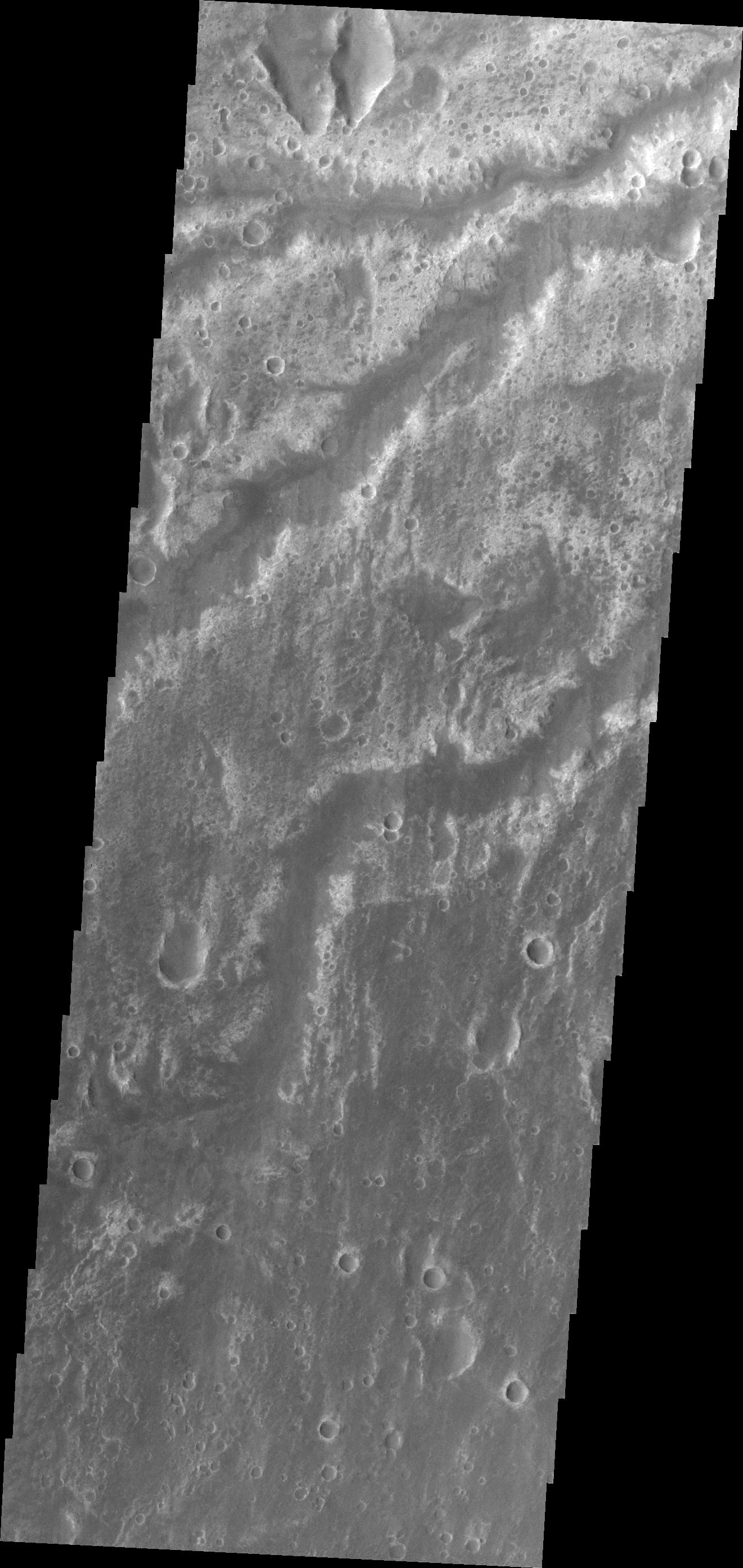
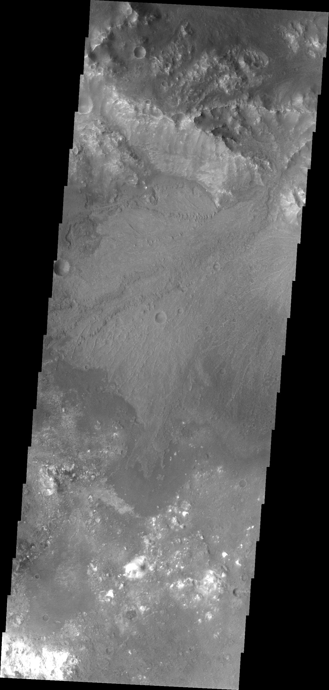
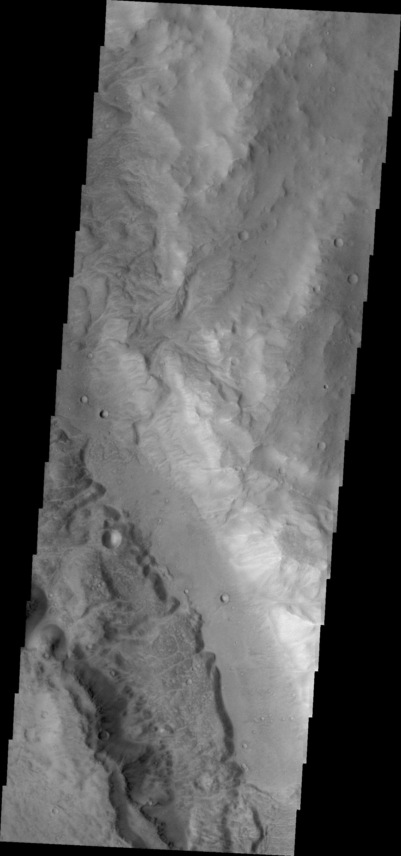
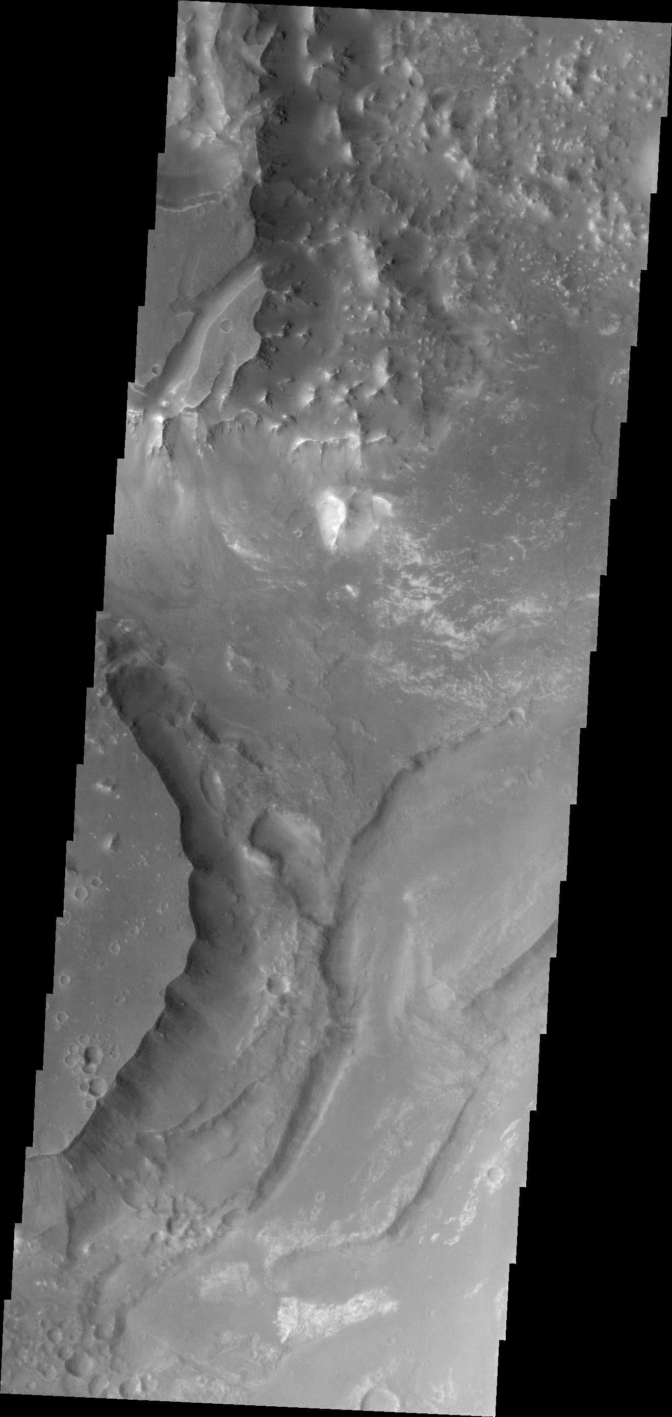
1321x2778x1
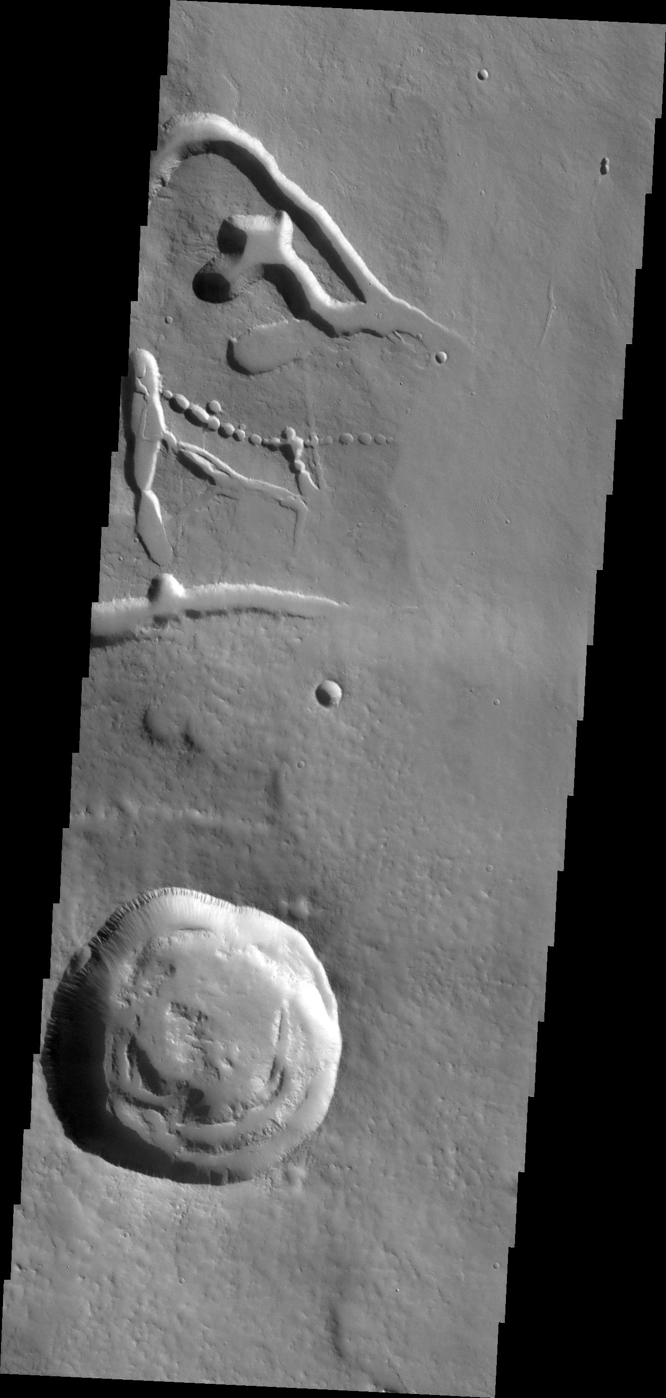
PIA13999:
Channel in Margaritifer Terra
Full Resolution:
TIFF
(3.674 MB)
JPEG
(406.2 kB)
2011-04-15
Mars
2001 Mars Odyssey
THEMIS
1308x2773x1
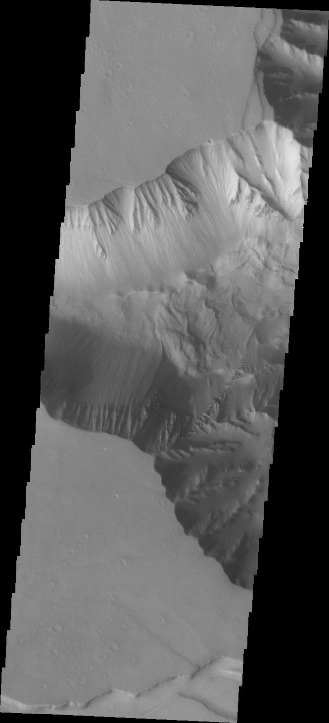
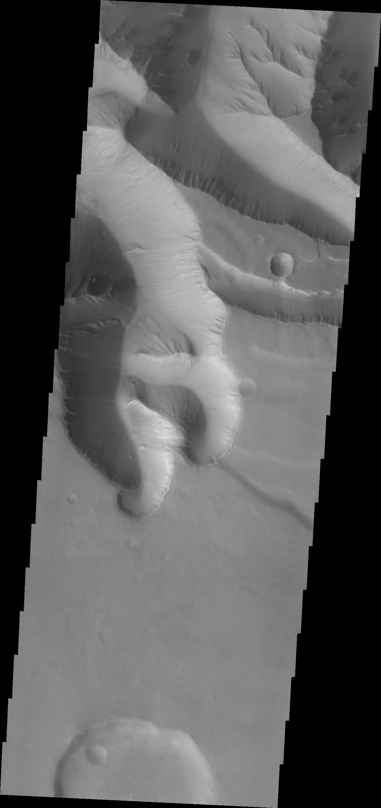
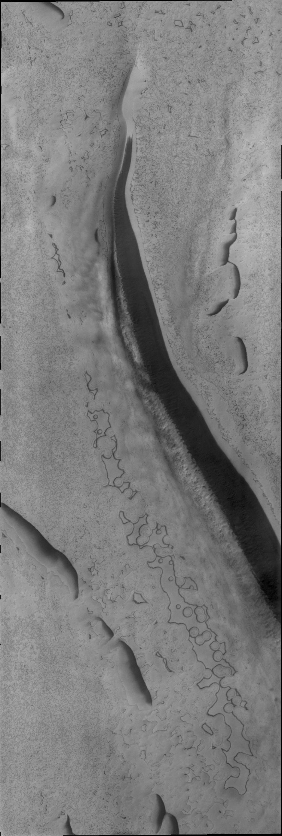
PIA14025:
Tithonium Chasma
Full Resolution:
TIFF
(3.631 MB)
JPEG
(221.2 kB)
2011-04-18
Mars
2001 Mars Odyssey
THEMIS
658x1466x1
PIA14041:
Arsia Mons Flows
Full Resolution:
TIFF
(965.8 kB)
JPEG
(152.1 kB)
2011-04-19
Mars
2001 Mars Odyssey
THEMIS
657x1482x1
PIA14043:
Gullies in Argyre Planitia
Full Resolution:
TIFF
(974.9 kB)
JPEG
(60.6 kB)
2011-04-20
Mars
2001 Mars Odyssey
THEMIS
1323x2935x1
PIA14044:
Arda Valles
Full Resolution:
TIFF
(3.887 MB)
JPEG
(356.4 kB)
2011-04-21
Mars
Mars Reconnaissance Orbiter (MRO)
Shallow Subsurface Radar (SHARAD)
1775x380x1
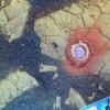
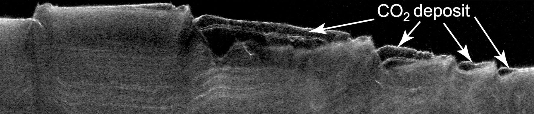
PIA13985:
Cross Section of Buried Carbon-Dioxide Ice on Mars
Full Resolution:
TIFF
(675.5 kB)
JPEG
(116.5 kB)
2011-04-21
Mars
Mars Reconnaissance Orbiter (MRO)
Shallow Subsurface Radar (SHARAD)
9380x8299x3
PIA13986:
Thickness Map of Buried Carbon-Dioxide Deposit
Full Resolution:
TIFF
(233.5 MB)
JPEG
(4.87 MB)
2011-04-21
Mars
Mars Reconnaissance Orbiter (MRO)
HiRISE
2497x2054x1
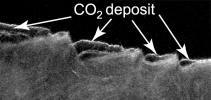
PIA13987:
Pitting from Sublimation of Underlying Dry-Ice Layer
Full Resolution:
TIFF
(5.135 MB)
JPEG
(856.6 kB)
2011-04-21
Mars
2001 Mars Odyssey
THEMIS
1315x2820x1
PIA14047:
Dunes in Aonia Terra
Full Resolution:
TIFF
(3.712 MB)
JPEG
(217.5 kB)
2011-04-25
Mars
2001 Mars Odyssey
THEMIS
655x1466x1
PIA14048:
Daedalia Planum
Full Resolution:
TIFF
(961.4 kB)
JPEG
(164.5 kB)
2011-04-25
Mars
2001 Mars Odyssey
THEMIS
669x1460x1
PIA14049:
Windstreaks on Syrtis Major Planum
Full Resolution:
TIFF
(977.9 kB)
JPEG
(97.19 kB)
2011-04-27
Mars
2001 Mars Odyssey
THEMIS
1335x2933x1
PIA14046:
Eos Chaos
Full Resolution:
TIFF
(3.92 MB)
JPEG
(302.2 kB)
2011-04-29
Mars
2001 Mars Odyssey
THEMIS
665x1459x1
PIA14050:
Candor Chasma
Full Resolution:
TIFF
(971.4 kB)
JPEG
(58.77 kB)
2011-04-30
Mars
2001 Mars Odyssey
THEMIS
1319x2767x1
PIA14089:
Ascraeus Mons
Full Resolution:
TIFF
(3.654 MB)
JPEG
(276.6 kB)
2011-05-02
Mars
2001 Mars Odyssey
THEMIS
1317x2966x1
PIA14138:
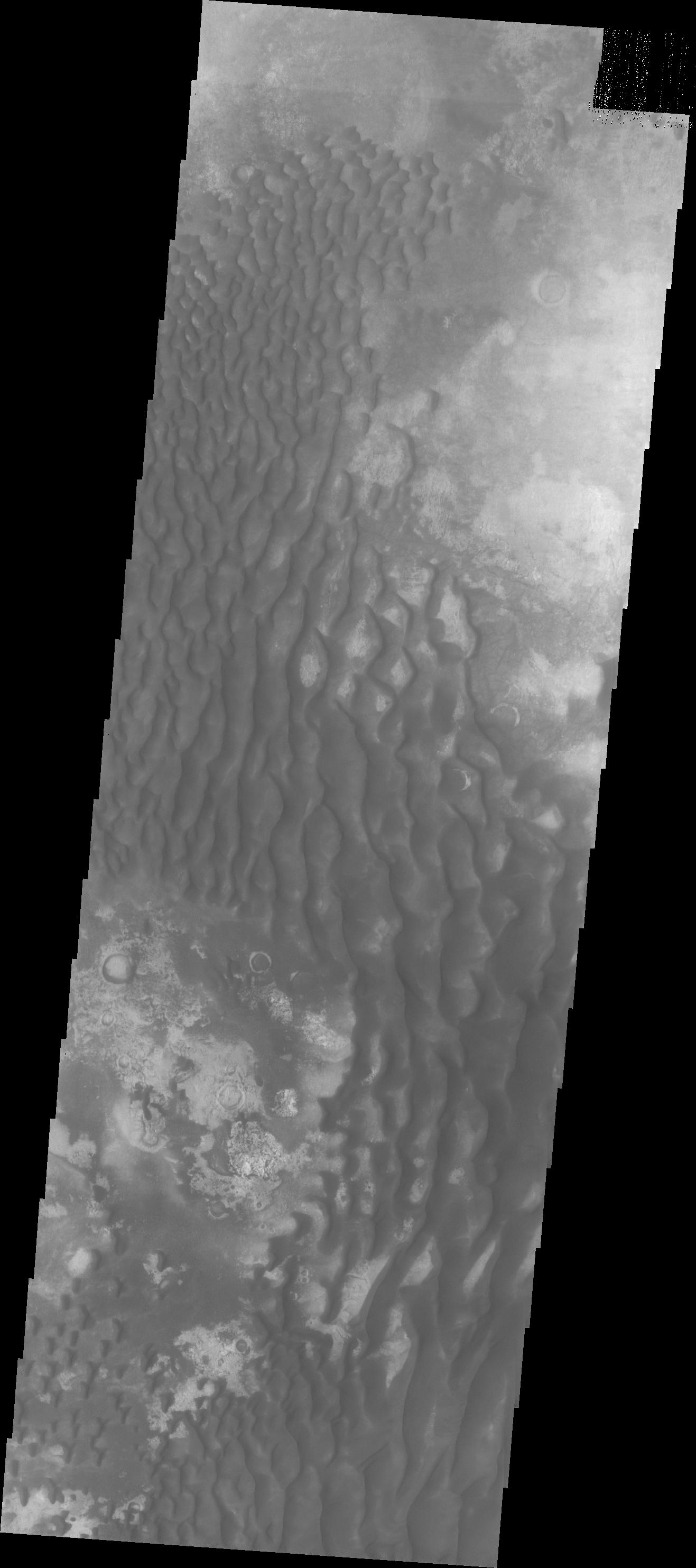
Kaiser Crater Dunes
Full Resolution:
TIFF
(3.91 MB)
JPEG
(219 kB)
2011-05-03
Mars
2001 Mars Odyssey
THEMIS
1315x2778x1
PIA14139:
Terra Cimmeria Dunes
Full Resolution:
TIFF
(3.657 MB)
JPEG
(420.9 kB)
2011-05-04
Mars
Mars Exploration Rover (MER)
Navigation Camera
1747x1093x1
PIA13988:
Martian 'Freedom 7' Crater 50 Years After Freedom 7 Flight
Full Resolution:
TIFF
(1.912 MB)
JPEG
(239.2 kB)
2011-05-04
Mars
Mars Exploration Rover (MER)
Navigation Camera
1747x1093x3
PIA13989:
Martian 'Freedom 7' Crater 50 Years After Freedom 7 Flight (Stereo)
Full Resolution:
TIFF
(5.737 MB)
JPEG
(245.7 kB)
2011-05-04
Mars
2001 Mars Odyssey
THEMIS
1333x2838x1
PIA14140:
Lamont Crater Dunes
Full Resolution:
TIFF
(3.787 MB)
JPEG
(190.3 kB)
2011-05-05
Mars
2001 Mars Odyssey
THEMIS
1303x2808x1
PIA14141:
Arkhangelsky Crater Dunes
Full Resolution:
TIFF
(3.663 MB)
JPEG
(266.6 kB)
2011-05-06
Mars
2001 Mars Odyssey
THEMIS
1320x2776x1
PIA14142:
Elator Vallis
Full Resolution:
TIFF
(3.668 MB)
JPEG
(298.3 kB)
2011-05-09
Mars
2001 Mars Odyssey
THEMIS
1311x2777x1
PIA14144:
Gullies in Ius Chasma
Full Resolution:
TIFF
(3.645 MB)
JPEG
(154.4 kB)
2011-05-10
Mars
2001 Mars Odyssey
THEMIS
1315x2817x1
PIA14145:
Proctor Crater Dunes
Full Resolution:
TIFF
(3.708 MB)
JPEG
(241.1 kB)
2011-05-11
Mars
2001 Mars Odyssey
THEMIS
1318x2777x1
PIA14148:
Elator Vallis
Full Resolution:
TIFF
(3.664 MB)
JPEG
(437.1 kB)
2011-05-12
Mars
2001 Mars Odyssey
THEMIS
675x1459x1
PIA14149:
Aram Chaos
Full Resolution:
TIFF
(986 kB)
JPEG
(101.9 kB)
2011-05-13
Mars
2001 Mars Odyssey
THEMIS
1309x2794x1
PIA14152:
Russell Crater Dunes
Full Resolution:
TIFF
(3.661 MB)
JPEG
(262.4 kB)
2011-05-16
Mars
2001 Mars Odyssey
THEMIS
1343x2828x1
PIA14150:
Terby Crater
Full Resolution:
TIFF
(3.802 MB)
JPEG
(191 kB)
2011-05-18
Mars
Mars Exploration Rover (MER)
Navigation Camera
5685x989x1
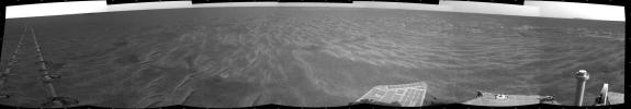
PIA14129:
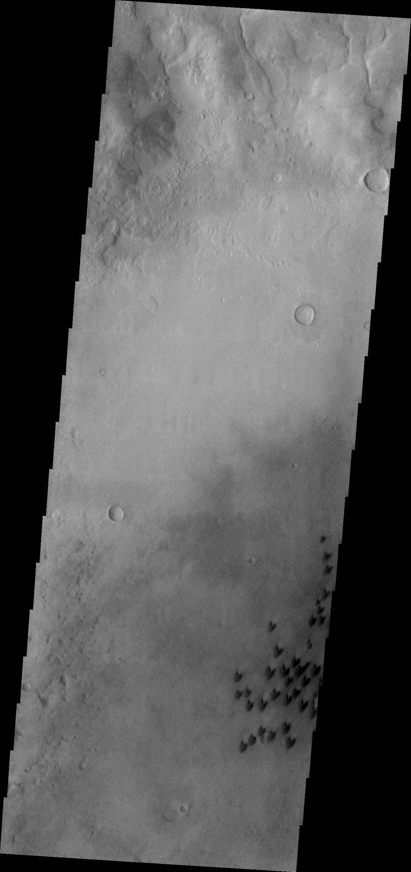
Autonomous Hazard Checks Leave Patterned Rover Tracks on Mars
Full Resolution:
TIFF
(5.631 MB)
JPEG
(692.8 kB)
2011-05-18
Mars
Mars Exploration Rover (MER)
Navigation Camera
5733x1153x3
PIA14130:
Autonomous Hazard Checks Leave Patterned Rover Tracks on Mars (Stereo)
Full Resolution:
TIFF
(19.83 MB)
JPEG
(736.2 kB)
2011-05-18
Mars
2001 Mars Odyssey
THEMIS
1329x2776x1
PIA14153:
Wind Erosion
Full Resolution:
TIFF
(3.693 MB)
JPEG
(507.1 kB)
2011-05-19
Mars
2001 Mars Odyssey
THEMIS
657x1466x1
PIA14154:
Daedalia Planum
Full Resolution:
TIFF
(964.4 kB)
JPEG
(153.4 kB)
2011-05-20
Mars
2001 Mars Odyssey
THEMIS
1346x2827x1
PIA14158:
Hussey Crater Dunes
Full Resolution:
TIFF
(3.809 MB)
JPEG
(269.4 kB)
2011-05-23
Mars
2001 Mars Odyssey
THEMIS
1305x2909x1
PIA14159:
Ascraeus Mons
Full Resolution:
TIFF
(3.8 MB)
JPEG
(263 kB)
2011-06-02
Mars
Mars Exploration Rover (MER)
Navigation Camera
4865x1013x1
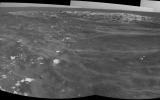
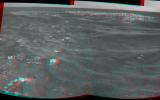
PIA14132:
Opportunity Beside a Small, Young Crater
Full Resolution:
TIFF
(4.937 MB)
JPEG
(609.6 kB)
2011-06-02
Mars
Mars Exploration Rover (MER)
Navigation Camera
4905x1182x3
PIA14133:
Opportunity Beside a Small, Young Crater (Stereo)
Full Resolution:
TIFF
(17.39 MB)
JPEG
(702.3 kB)
2011-06-02
Mars
2001 Mars Odyssey
THEMIS
1320x2784x1
PIA14176:
Arda Valles
Full Resolution:
TIFF
(3.679 MB)
JPEG
(369.7 kB)
2011-06-03
Mars
2001 Mars Odyssey
THEMIS
1308x2785x1
PIA14177:
Daedalia Planum
Full Resolution:
TIFF
(3.647 MB)
JPEG
(689.7 kB)
2011-06-06
Mars
2001 Mars Odyssey
THEMIS
1332x2930x1
PIA14178:
Small Dunes
Full Resolution:
TIFF
(3.907 MB)
JPEG
(358.4 kB)
2011-06-07
Mars
2001 Mars Odyssey
THEMIS
1328x2786x1
PIA14179:
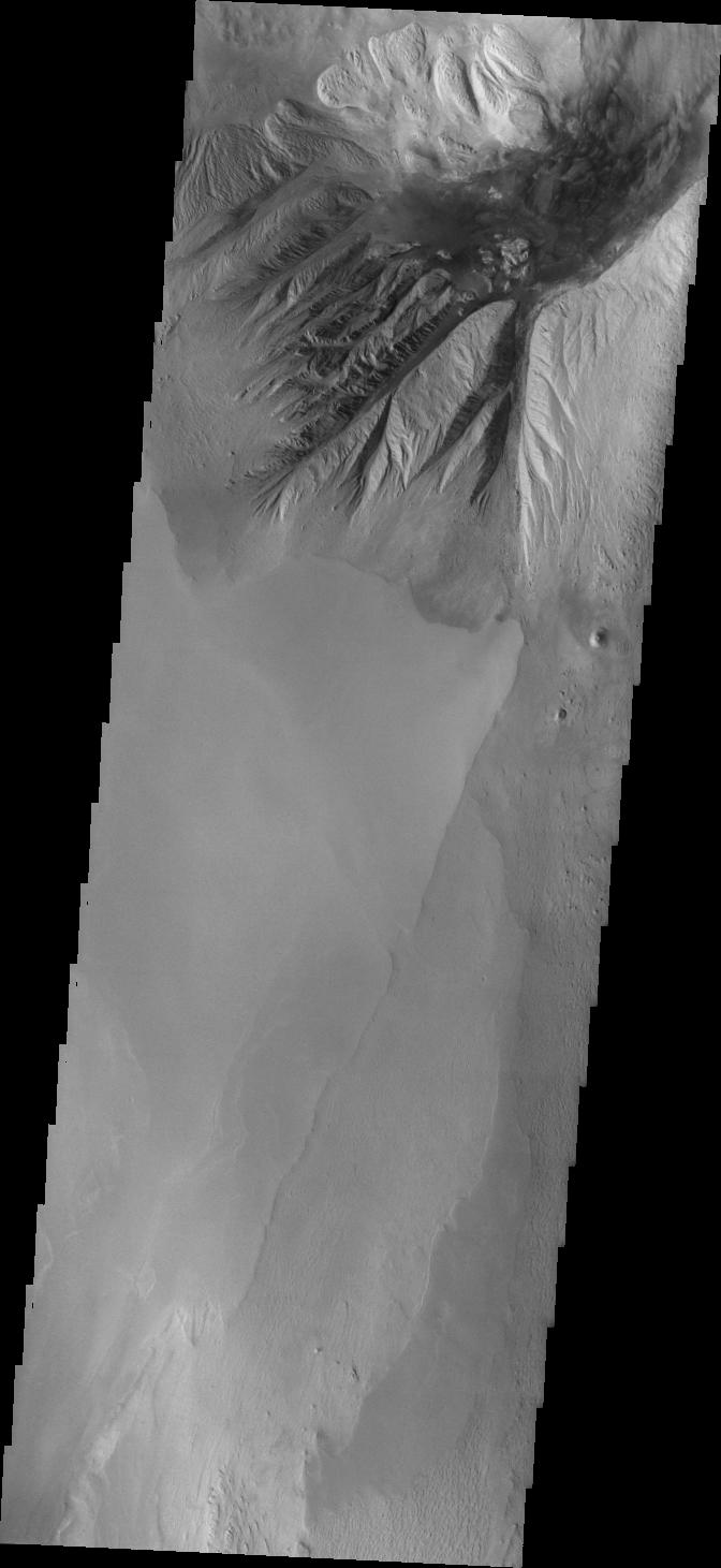
Harris Crater Delta
Full Resolution:
TIFF
(3.704 MB)
JPEG
(357.5 kB)
2011-06-08
Mars
2001 Mars Odyssey
THEMIS
1334x2771x1
PIA14180:
Iani Chaos
Full Resolution:
TIFF
(3.7 MB)
JPEG
(344.8 kB)
2011-06-08
Mars
Mars Exploration Rover (MER)
Mars Reconnaissance Orbiter (MRO)
HiRISE
8192x5789x3
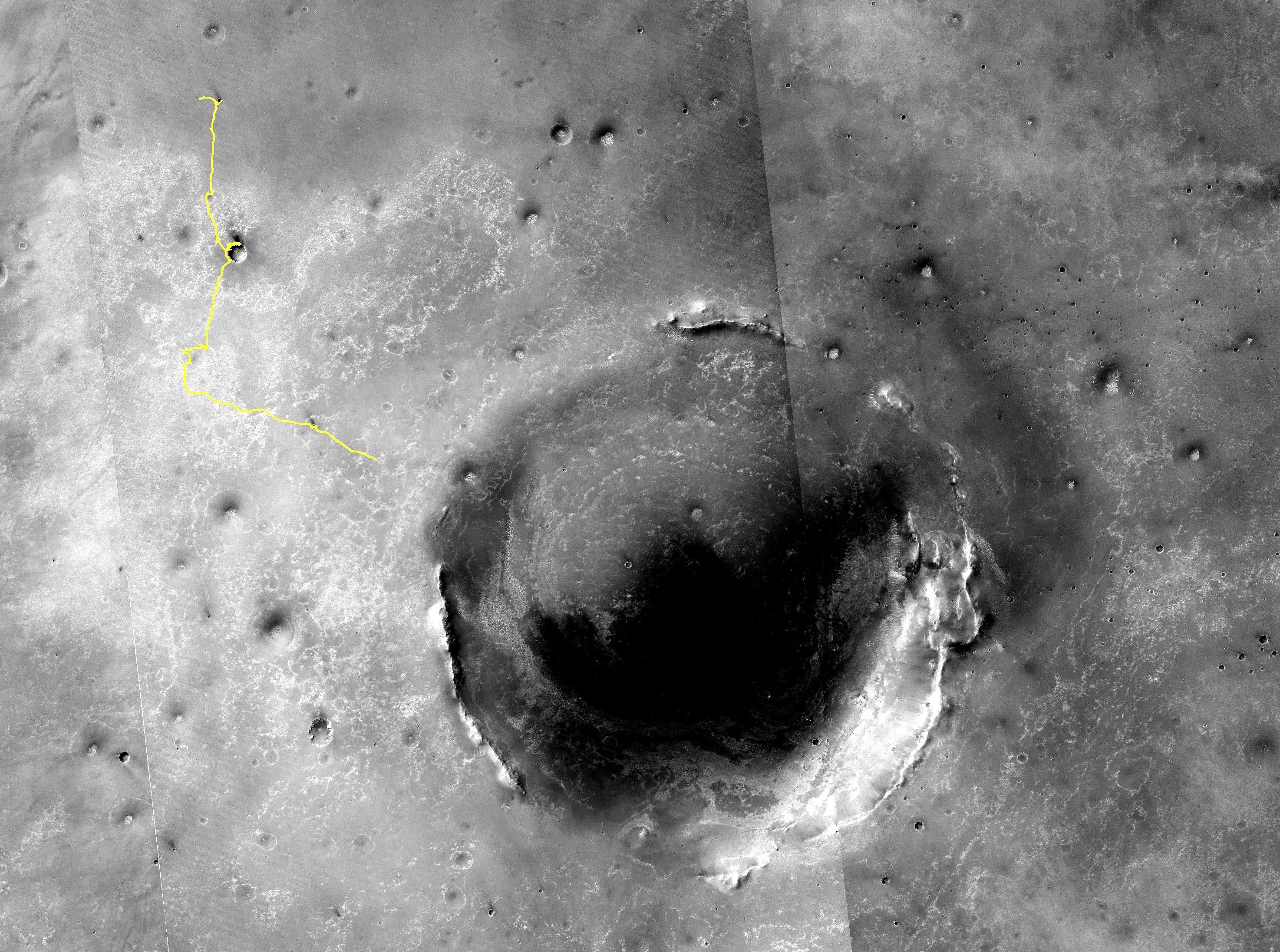
PIA14134:
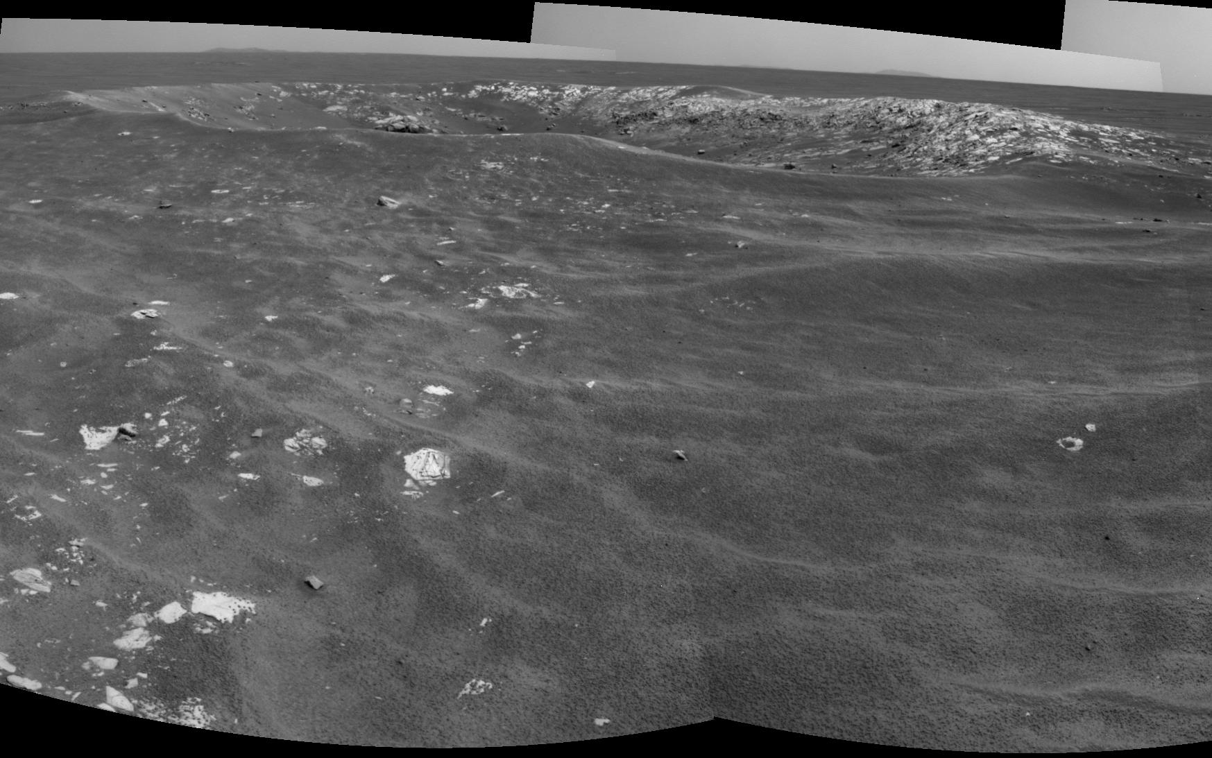
Opportunity's First Goal at Endeavour Crater: 'Spirit Point'
Full Resolution:
TIFF
(47.47 MB)
JPEG
(3.48 MB)
2011-06-08
Mars
Mars Exploration Rover (MER)
Mars Reconnaissance Orbiter (MRO)
CTX
2948x2193x3
PIA14135:
Eagle to Endeavour: Opportunity's Path, Sol 2609
Full Resolution:
TIFF
(19.4 MB)
JPEG
(1.319 MB)
2011-06-09
Mars
2001 Mars Odyssey
THEMIS
1321x2788x1
PIA14181:
Holden Crater Rim
Full Resolution:
TIFF
(3.687 MB)
JPEG
(342.5 kB)
2011-06-10
Mars
2001 Mars Odyssey
THEMIS
670x1457x1
PIA14182:
Windstreaks
Full Resolution:
TIFF
(977.4 kB)
JPEG
(97.85 kB)
2011-06-13
Mars
2001 Mars Odyssey
THEMIS
1333x2775x1
PIA14183:
Ganges Chasma
Full Resolution:
TIFF
(3.703 MB)
JPEG
(308.2 kB)
2011-06-14
Mars
2001 Mars Odyssey
THEMIS
1325x2777x1
PIA14184:
Ius Chasma
Full Resolution:
TIFF
(3.683 MB)
JPEG
(198.9 kB)
2011-06-15
Mars
2001 Mars Odyssey
THEMIS
1337x2773x3
PIA14185:
Gale Crater
Full Resolution:
TIFF
(3.711 MB)
JPEG
(252.5 kB)
2011-06-16
Mars
2001 Mars Odyssey
THEMIS
933x2771x1
PIA14186:
South Polar Layers
Full Resolution:
TIFF
(2.588 MB)
JPEG
(370 kB)
2011-06-17
Mars
2001 Mars Odyssey
THEMIS
1307x2934x1
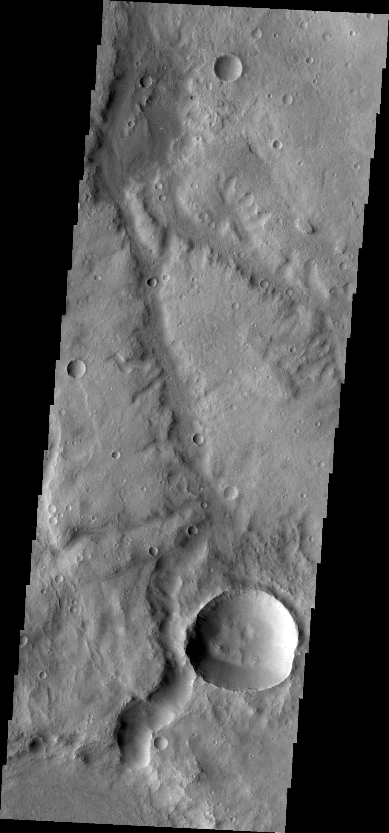
PIA14273:
Channels in Noachis Terra
Full Resolution:
TIFF
(3.839 MB)
JPEG
(312.4 kB)
2011-06-20
Mars
2001 Mars Odyssey
THEMIS
1347x2768x1
PIA14274:
Crater Ejecta
Full Resolution:
TIFF
(3.732 MB)
JPEG
(320.9 kB)
2011-06-21
Mars
2001 Mars Odyssey
THEMIS
952x2791x1
PIA14281:
Linear Ridges
Full Resolution:
TIFF
(2.66 MB)
JPEG
(242 kB)
2011-06-22
Mars
2001 Mars Odyssey
THEMIS
1306x2780x1
PIA14282:
Eos Chaos
Full Resolution:
TIFF
(3.635 MB)
JPEG
(239.2 kB)
2011-06-23
Mars
2001 Mars Odyssey
THEMIS
1320x2981x1
PIA14283:
Brashear Crater Dunes
Full Resolution:
TIFF
(3.939 MB)
JPEG
(224.9 kB)
2011-06-27
Mars
2001 Mars Odyssey
THEMIS
1337x2772x1
PIA14287:
Hydaspis Chaos
Full Resolution:
TIFF
(3.71 MB)
JPEG
(310 kB)
2011-06-28
Mars
2001 Mars Odyssey
THEMIS
1308x2793x1
PIA14366:
Channels
Full Resolution:
TIFF
(3.657 MB)
JPEG
(360.2 kB)
2011-06-29
Mars
2001 Mars Odyssey
THEMIS
1319x2773x1
PIA14367:
Windstreaks
Full Resolution:
TIFF
(3.662 MB)
JPEG
(434.2 kB)
2011-06-30
Mars
2001 Mars Odyssey
THEMIS
942x2775x1
PIA14368:
Chasma Australe
Full Resolution:
TIFF
(2.617 MB)
JPEG
(336.4 kB)
2011-07-01
Mars
2001 Mars Odyssey
THEMIS
1316x2800x1
PIA14369:
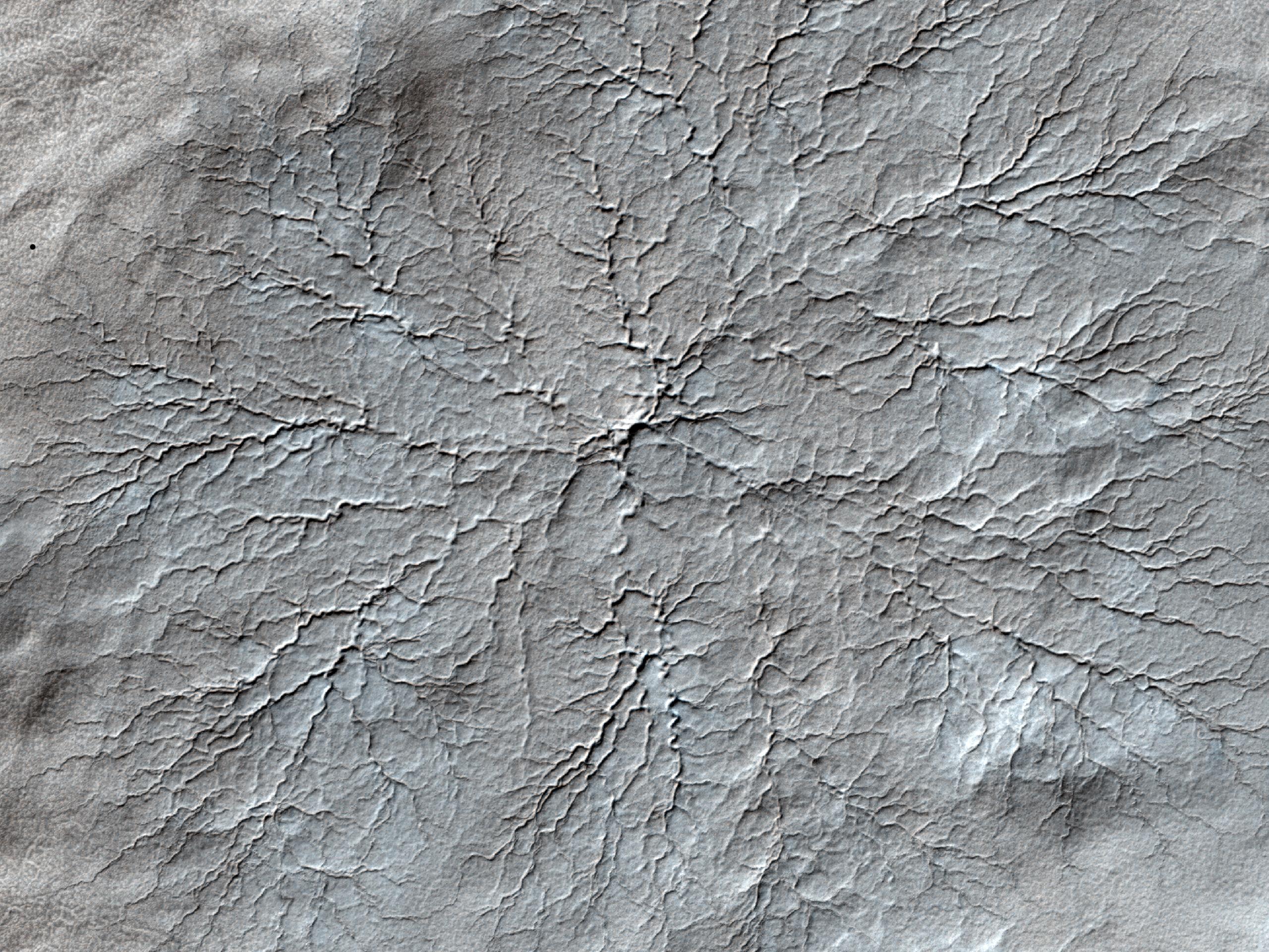
Fracture
Full Resolution:
TIFF
(3.689 MB)
JPEG
(370.7 kB)
2011-07-04
Mars
2001 Mars Odyssey
THEMIS
1322x2935x1
PIA14370:
Claritas Fossae
Full Resolution:
TIFF
(3.884 MB)
JPEG
(410.6 kB)
2011-07-05
Mars
2001 Mars Odyssey
THEMIS
1307x2786x1
PIA14371:
Ma'adim Vallis
Full Resolution:
TIFF
(3.645 MB)
JPEG
(299.8 kB)
2011-07-06
Mars
2001 Mars Odyssey
Mars Global Surveyor (MGS)
Mars Science Laboratory (MSL)
MOLA
THEMIS
1920x1080x3
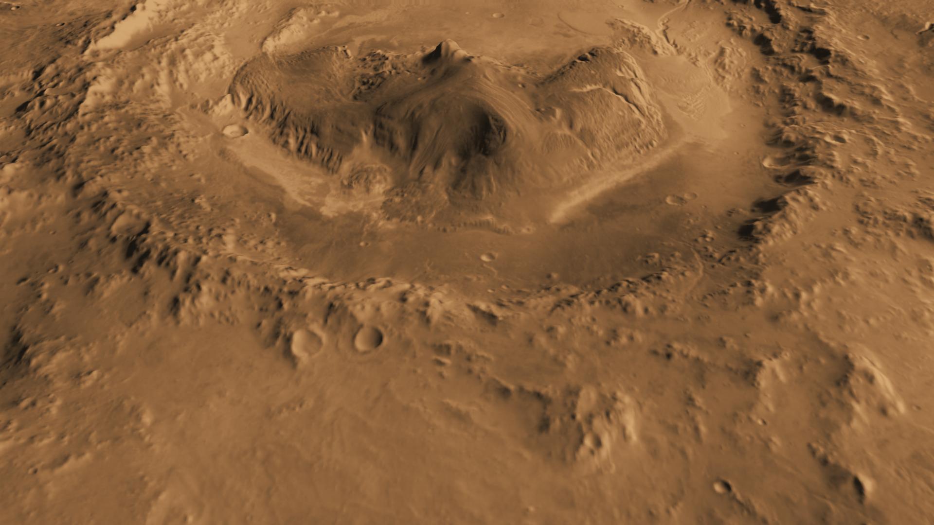
PIA14291:
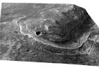
Oblique view of Gale Crater from the North
Full Resolution:
TIFF
(6.23 MB)
JPEG
(170.8 kB)
2011-07-06
Mars
2001 Mars Odyssey
THEMIS
1302x2787x1
PIA14372:
Marikh Vallis
Full Resolution:
TIFF
(3.633 MB)
JPEG
(341.2 kB)
2011-07-07
Mars
2001 Mars Odyssey
THEMIS
1339x2771x1
PIA14373:
Danielson Crater
Full Resolution:
TIFF
(3.714 MB)
JPEG
(296.3 kB)
2011-07-08
Mars
2001 Mars Odyssey
THEMIS
1329x2838x1
PIA14374:
Peneus Patera
Full Resolution:
TIFF
(3.776 MB)
JPEG
(376.2 kB)
2011-07-11
Mars
2001 Mars Odyssey
THEMIS
1330x2816x1
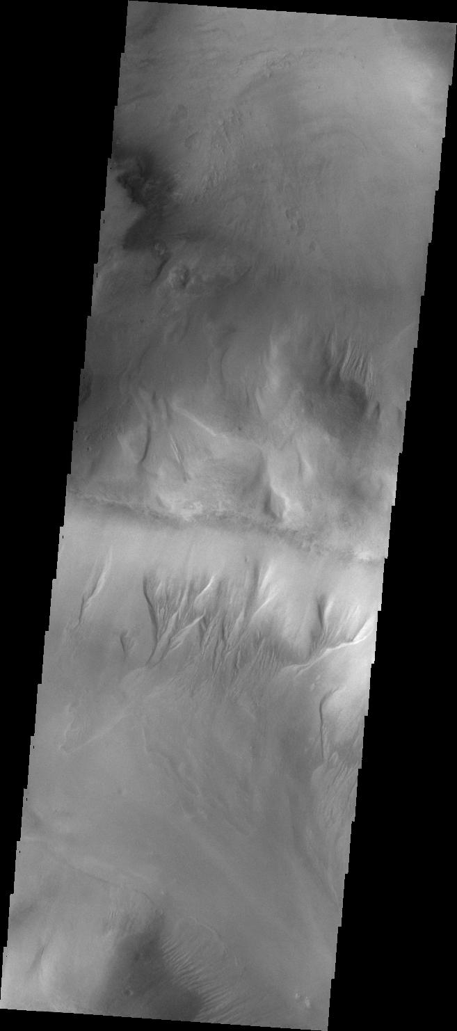
PIA14375:
Gullies
Full Resolution:
TIFF
(3.749 MB)
JPEG
(295.1 kB)
2011-07-12
Mars
2001 Mars Odyssey
THEMIS
1318x2778x1
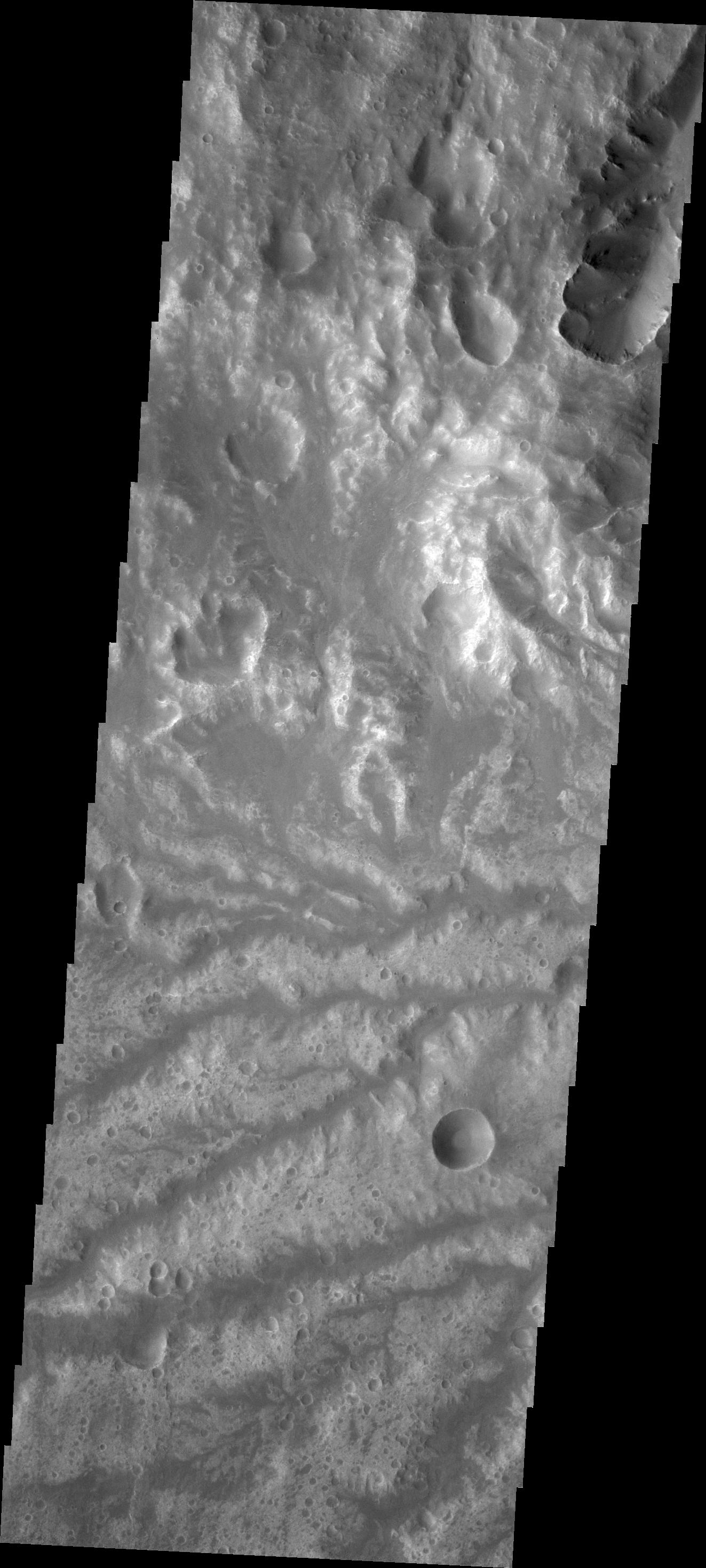
PIA14376:
Aurorae Chaos
Full Resolution:
TIFF
(3.665 MB)
JPEG
(285.6 kB)
2011-07-13
Mars
2001 Mars Odyssey
THEMIS
1317x2792x1
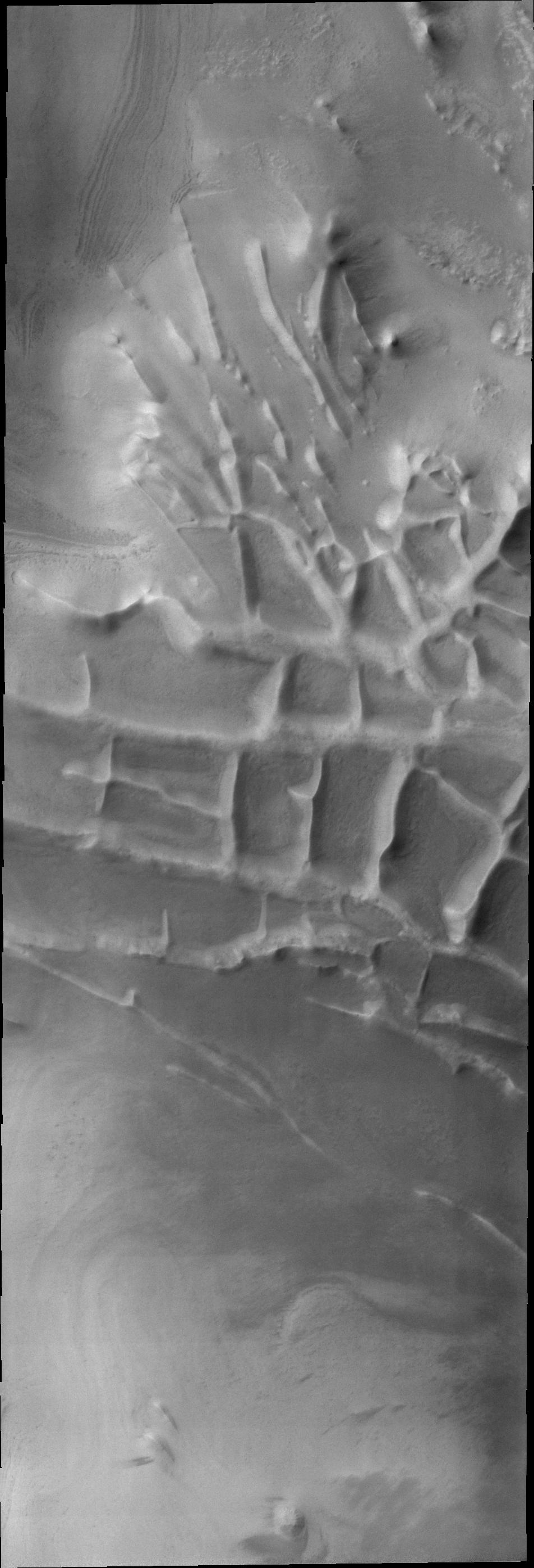
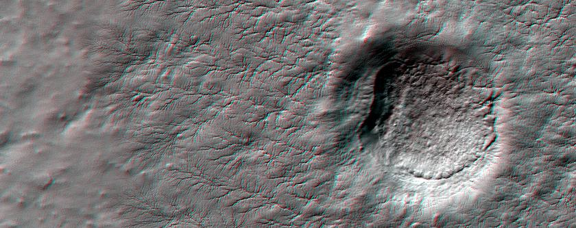
PIA14363:
Channel
Full Resolution:
TIFF
(3.681 MB)
JPEG
(399.7 kB)
2011-07-14
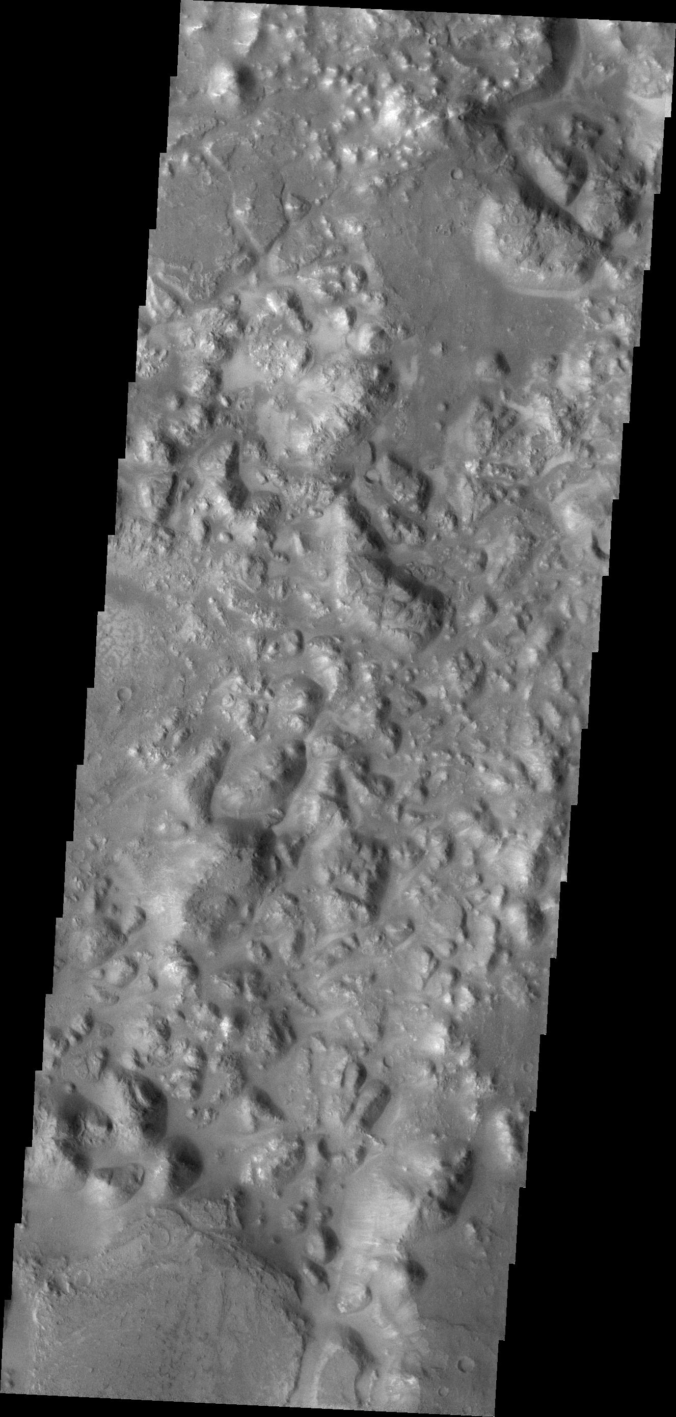
Mars
2001 Mars Odyssey
THEMIS
938x2773x1
PIA14364:
South Polar Surface
Full Resolution:
TIFF
(2.604 MB)
JPEG
(305.3 kB)
2011-07-15
Mars
Mars Reconnaissance Orbiter (MRO)
HiRISE
2560x1920x3
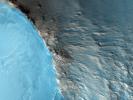
PIA14459:
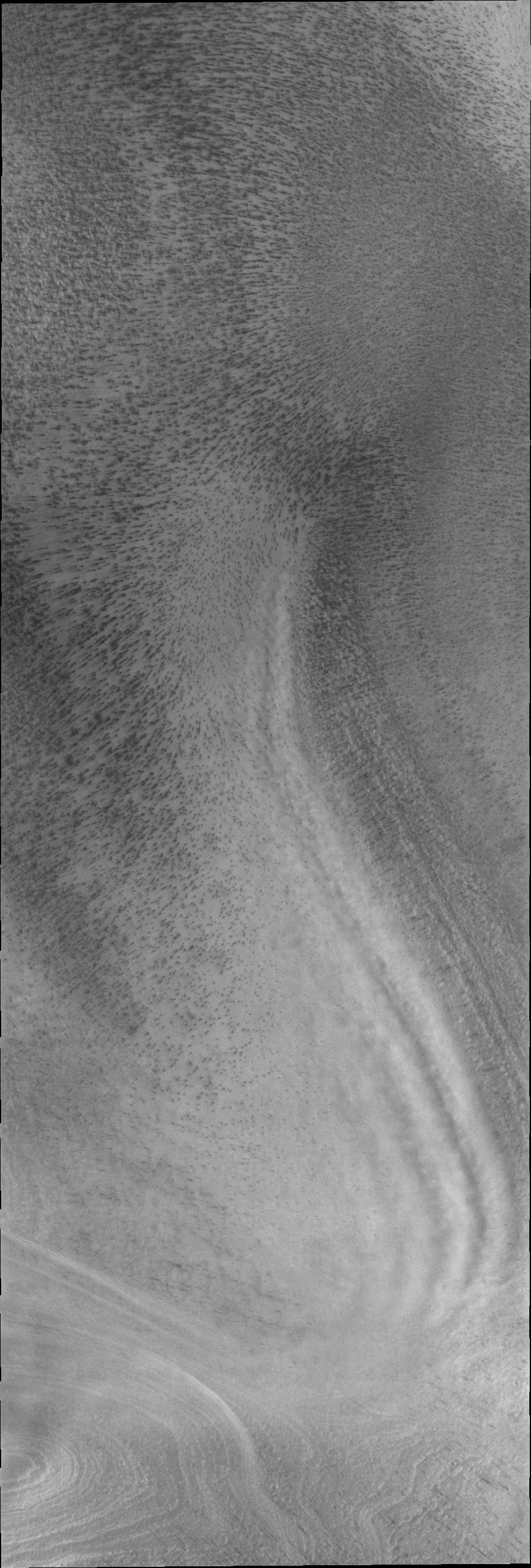
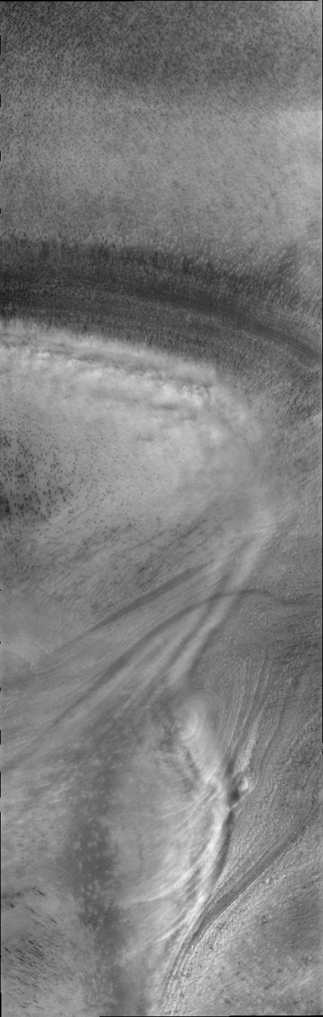
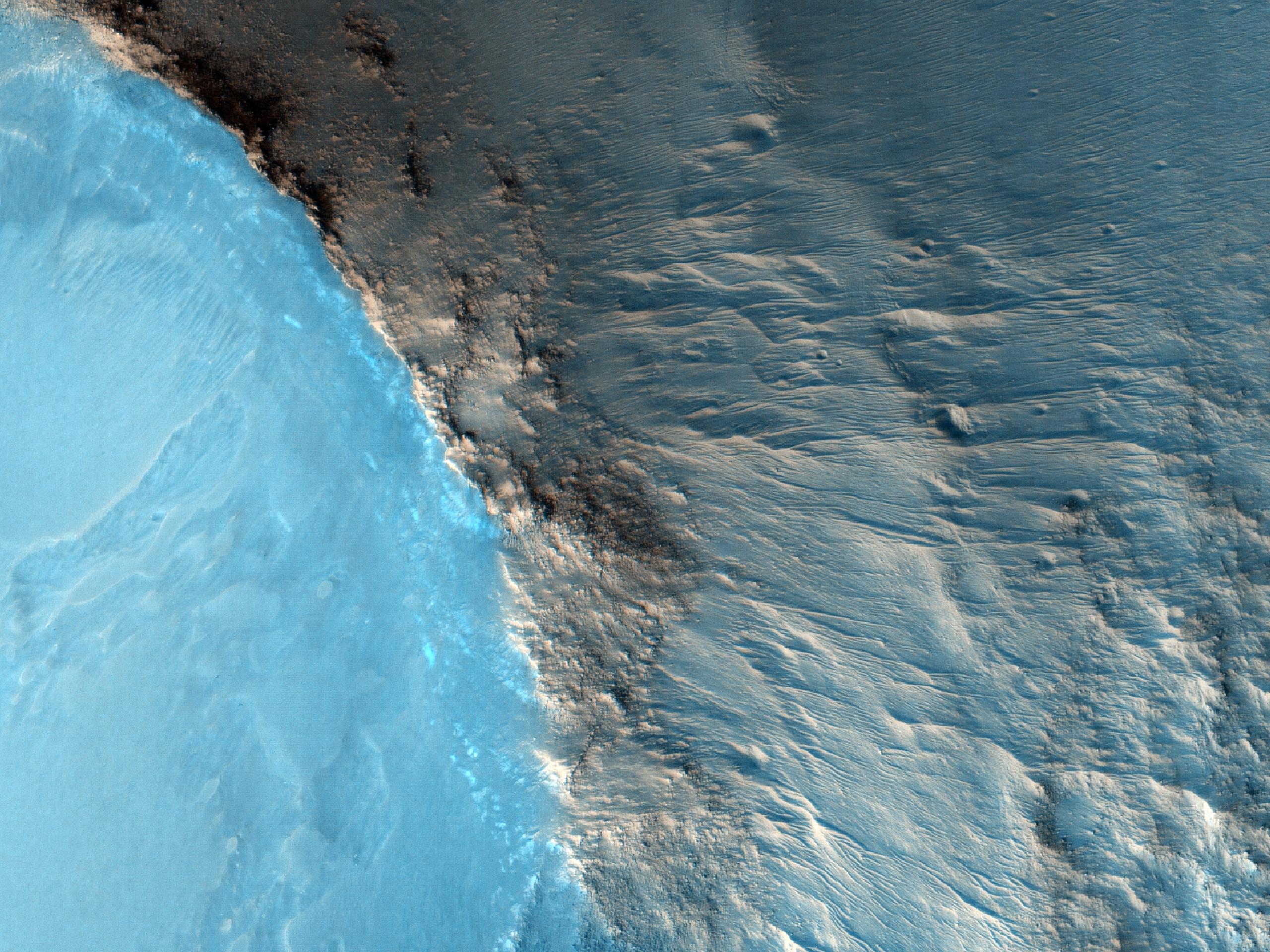
Erosion Features near the South Pole of Mars
Full Resolution:
TIFF
(14.76 MB)
JPEG
(1.003 MB)
2011-07-15
Mars
Mars Reconnaissance Orbiter (MRO)
HiRISE
840x333x3
PIA14460:
Erosion Features near the South Pole of Mars (Anaglyph)
Full Resolution:
TIFF
(840.3 kB)
JPEG
(78.15 kB)
2011-07-15
Mars
2001 Mars Odyssey
THEMIS
669x1473x1
PIA14365:
Layering
Full Resolution:
TIFF
(986.7 kB)
JPEG
(119.4 kB)
2011-07-15
Mars
Mars Reconnaissance Orbiter (MRO)
HiRISE
2560x1920x3
PIA14461:
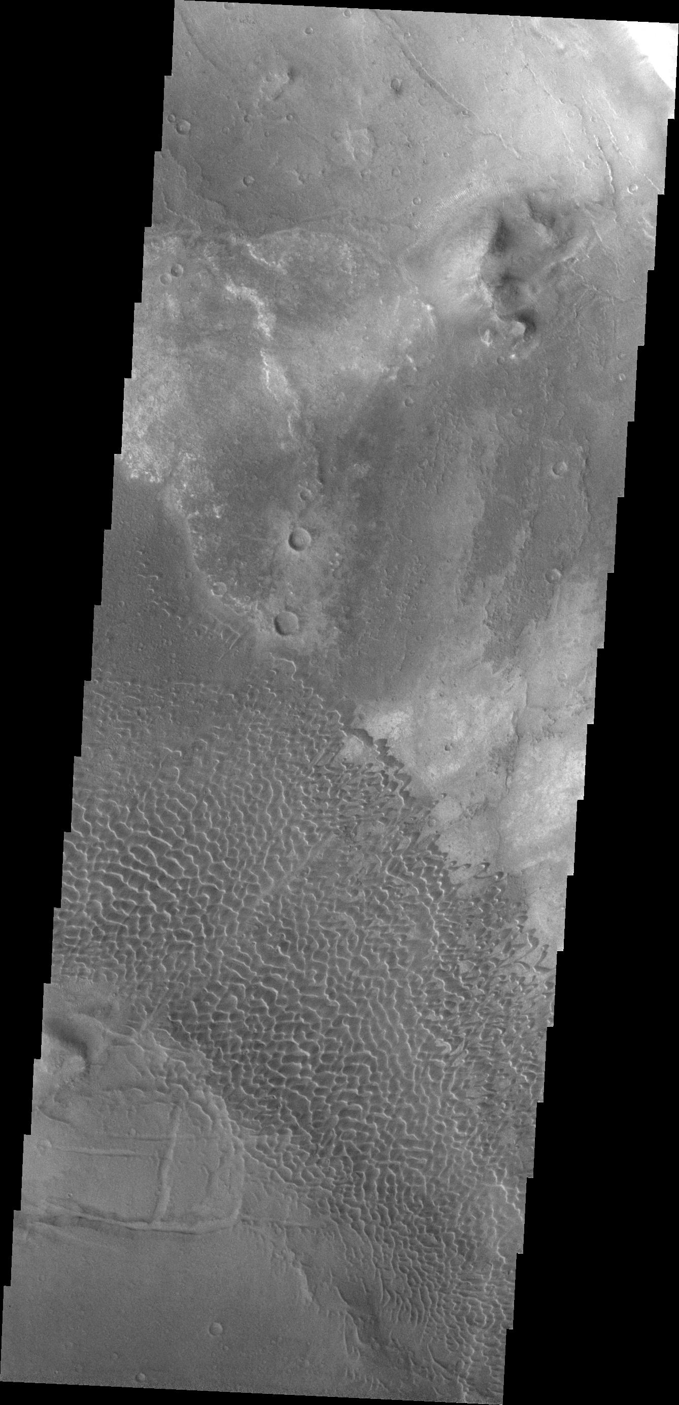
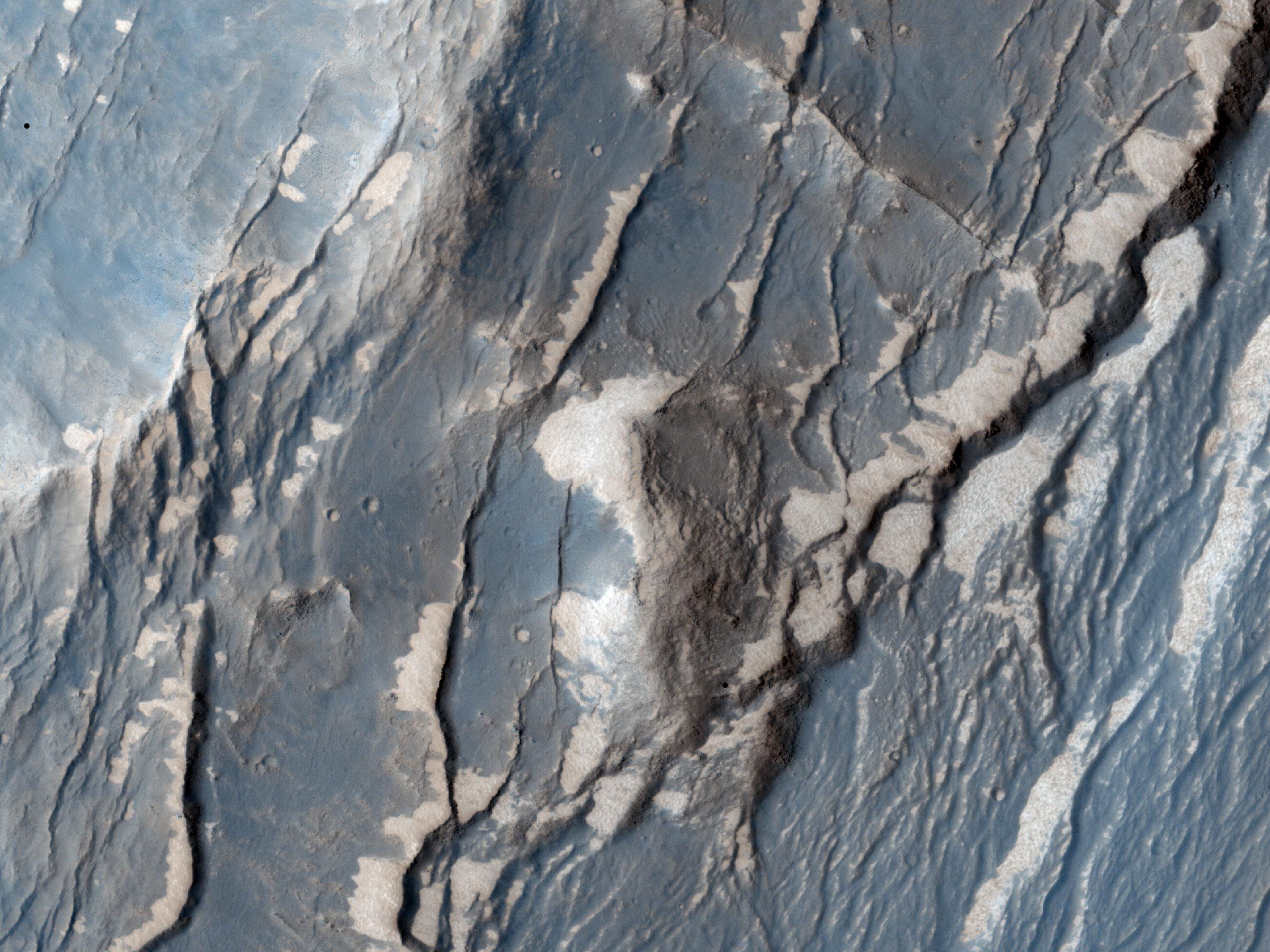
Faults in Claritas Fossae
Full Resolution:
TIFF
(14.76 MB)
JPEG
(655.1 kB)
2011-07-15
Mars
Mars Reconnaissance Orbiter (MRO)
HiRISE
2560x1920x3
PIA14462:
Small Mounds in Chryse Planitia
Full Resolution:
TIFF
(14.76 MB)
JPEG
(818.8 kB)
2011-07-18
Mars
2001 Mars Odyssey
THEMIS
1339x2837x1
PIA14384:
Dunes in Sisyphi Planum
Full Resolution:
TIFF
(3.803 MB)
JPEG
(157.2 kB)
2011-07-19
Mars
2001 Mars Odyssey
THEMIS
651x1466x1
PIA14466:
Volcanism & Tectonism
Full Resolution:
TIFF
(955.6 kB)
JPEG
(153.2 kB)
2011-07-19
Mars
Mars Exploration Rover (MER)
Navigation Camera
1024x1024x1
PIA14269:
Drive Direction Image by Opportunity After Surpassing 20 Miles
Full Resolution:
TIFF
(1.05 MB)
JPEG
(189.9 kB)
2011-07-20
Mars
2001 Mars Odyssey
THEMIS
672x1461x1
PIA14467:
Beatis Mensa
Full Resolution:
TIFF
(983 kB)
JPEG
(74.71 kB)
2011-07-21
Mars
2001 Mars Odyssey
THEMIS
1400x2832x1
PIA14468:
Rabe Crater Dunes
Full Resolution:
TIFF
(3.97 MB)
JPEG
(245.6 kB)
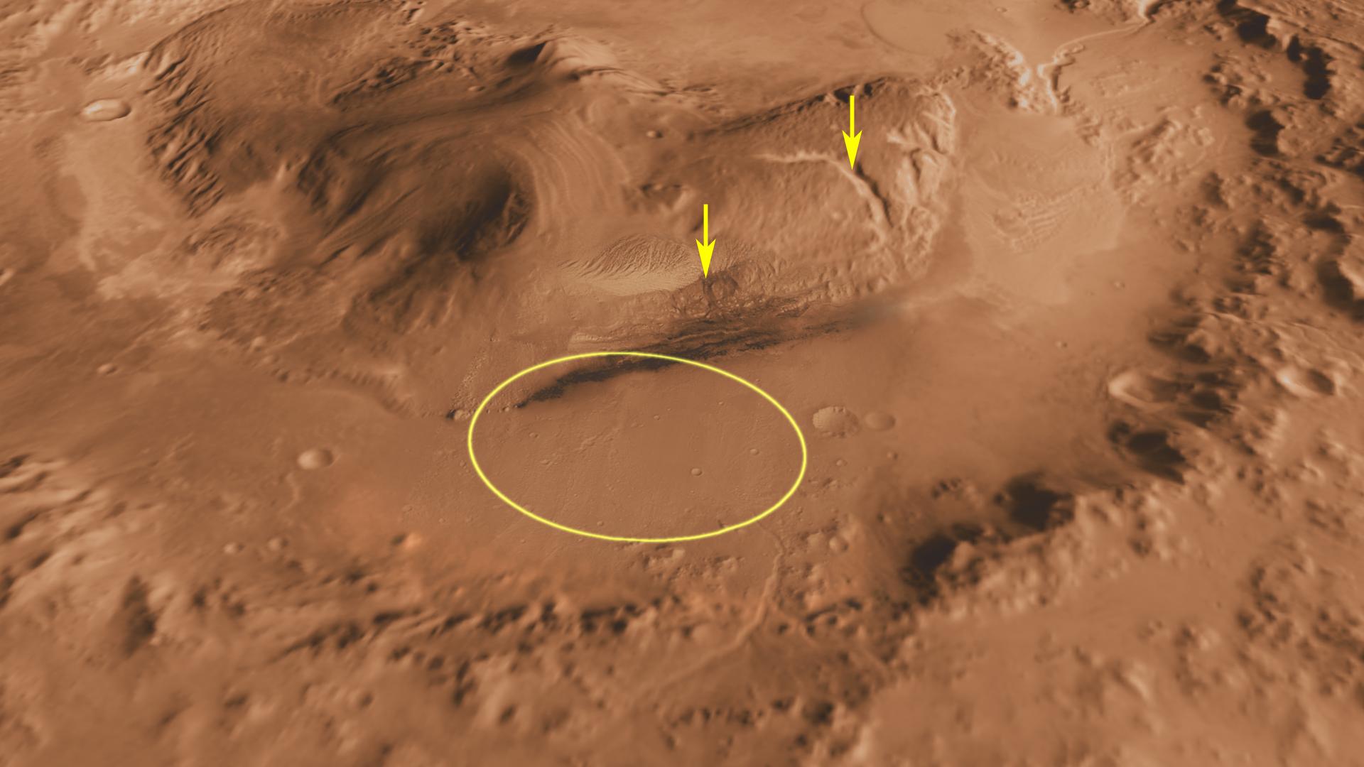
2011-07-22
Mars
Mars Science Laboratory (MSL)
THEMIS
2200x1700x1
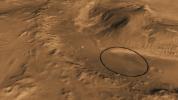
PIA14290:
Gale Crater: Future Home of Mars Rover Curiosity
Full Resolution:
TIFF
(3.745 MB)
JPEG
(580.8 kB)
2011-07-22
Mars
Mars Science Laboratory (MSL)
MOLA
THEMIS
1920x1080x3
PIA14292:
Oblique view of Gale Crater from the Northwest
Full Resolution:
TIFF
(6.23 MB)
JPEG
(141.6 kB)
2011-07-22
Mars
Mars Science Laboratory (MSL)
MOLA
9600x5400x3
PIA14293:
Daybreak at Gale Crater
Full Resolution:
TIFF
(155.5 MB)
JPEG
(1.911 MB)
2011-07-22
Mars
Mars Science Laboratory (MSL)
MOLA
THEMIS
1920x1080x3
PIA14294:
Context of Curiosity Landing Site in Gale Crater
Full Resolution:
TIFF
(6.23 MB)
JPEG
(199 kB)
2011-07-22
Mars
Mars Science Laboratory (MSL)
MOLA
THEMIS
1920x1080x3
PIA14295:
Canyons on Mountain Inside Gale Crater
Full Resolution:
TIFF
(6.23 MB)
JPEG
(153.3 kB)
1-100
101-200
201-300
301-400
401-500
501-600
601-700
701-800
801-900
901-1000
Currently displaying images:
6861 - 6960
of 12723


