Click on an image for detailed information
Click on a column heading to sort in ascending or descending order

My
List |
Addition Date
|
Target
|
Mission
|
Instrument
|
Size
|

|
2010-12-17 |
Mars
|
2001 Mars Odyssey
|
THEMIS
|
1345x2931x1 |
|
-
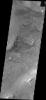
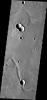
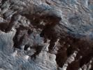
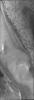
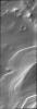
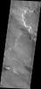
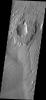
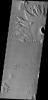
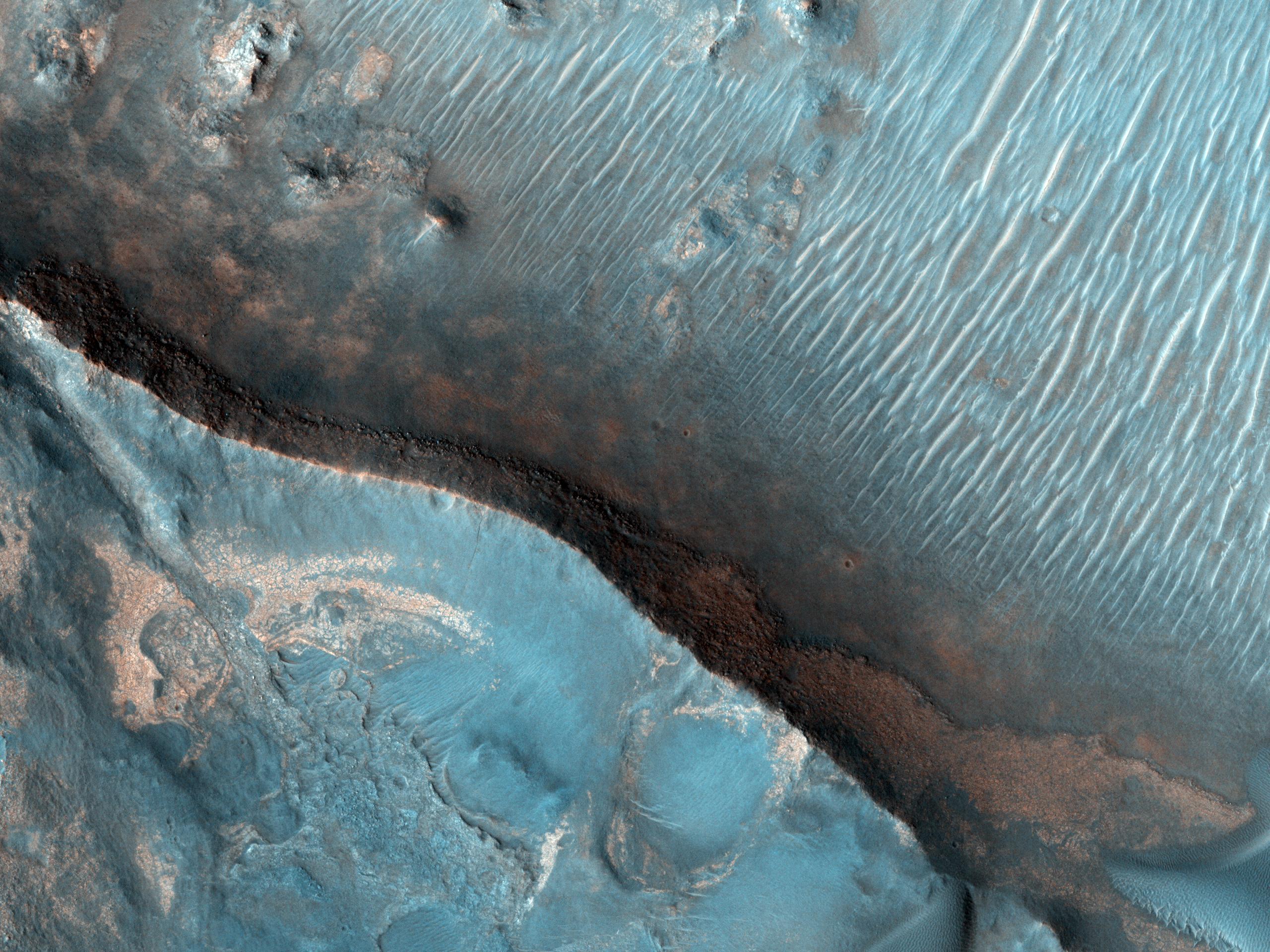
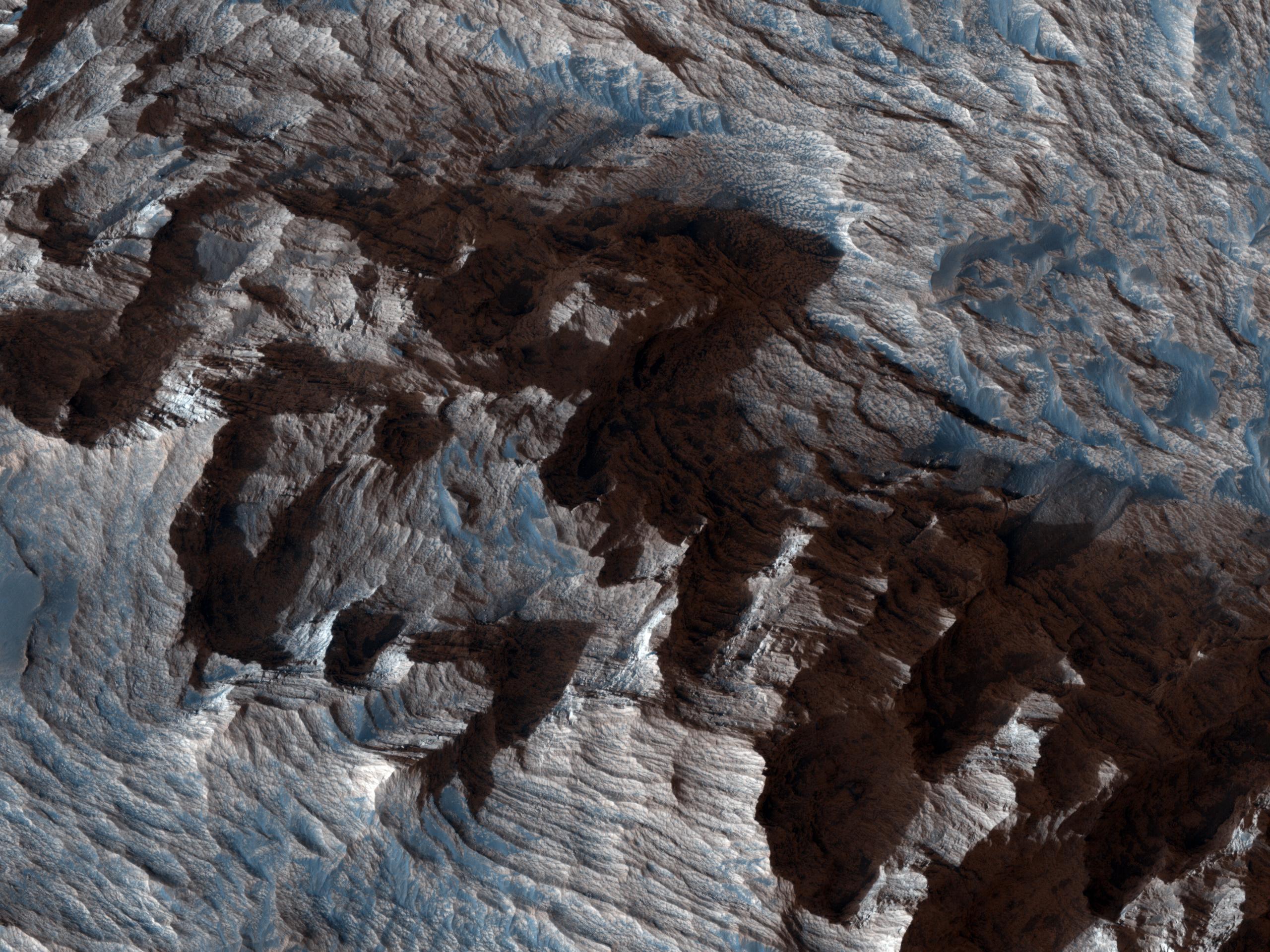
PIA13729:
-
Melas Chasma Landslides
Full Resolution:
TIFF
(3.946 MB)
JPEG
(428.3 kB)
|
|
|
2010-12-17 |
Mars
|
Mars Exploration Rover (MER)
Mars Reconnaissance Orbiter (MRO)
|
CTX
|
1392x1080x3 |
|
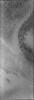
-
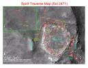
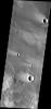
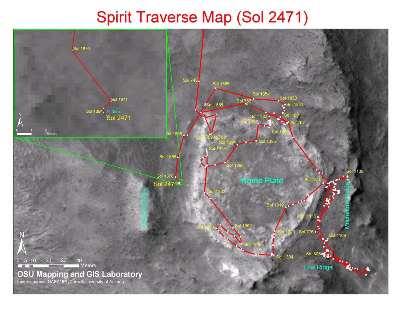
PIA13730:
-
Spirit Traverse Map, Sol 2471
Full Resolution:
TIFF
(4.519 MB)
JPEG
(176.5 kB)
|
|
|
2010-12-17 |
Mars
|
Mars Exploration Rover (MER)
Mars Reconnaissance Orbiter (MRO)
|
CTX
|
1460x1080x3 |
|
-
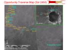
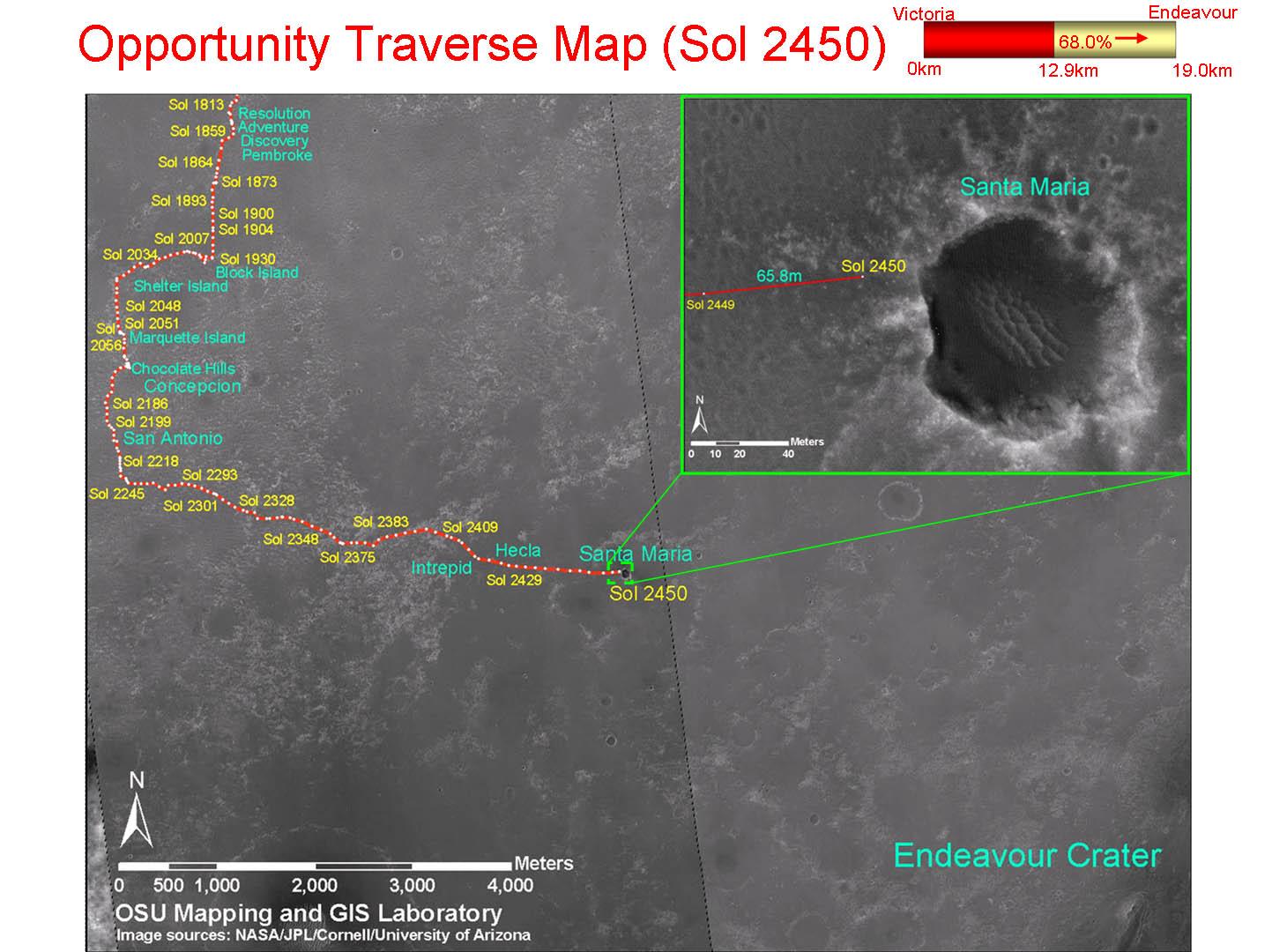
PIA13731:
-
Opportunity Traverse Map, Sol 2450
Full Resolution:
TIFF
(4.739 MB)
JPEG
(178 kB)
|
|
|
2010-12-20 |
Mars
|
Mars Reconnaissance Orbiter (MRO)
|
HiRISE
|
2560x1920x3 |

|
-
PIA13724:
-
Nili Fossae Trough, Candidate MSL Landing Site
Full Resolution:
TIFF
(14.76 MB)
JPEG
(844 kB)
|
|
|
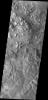
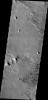
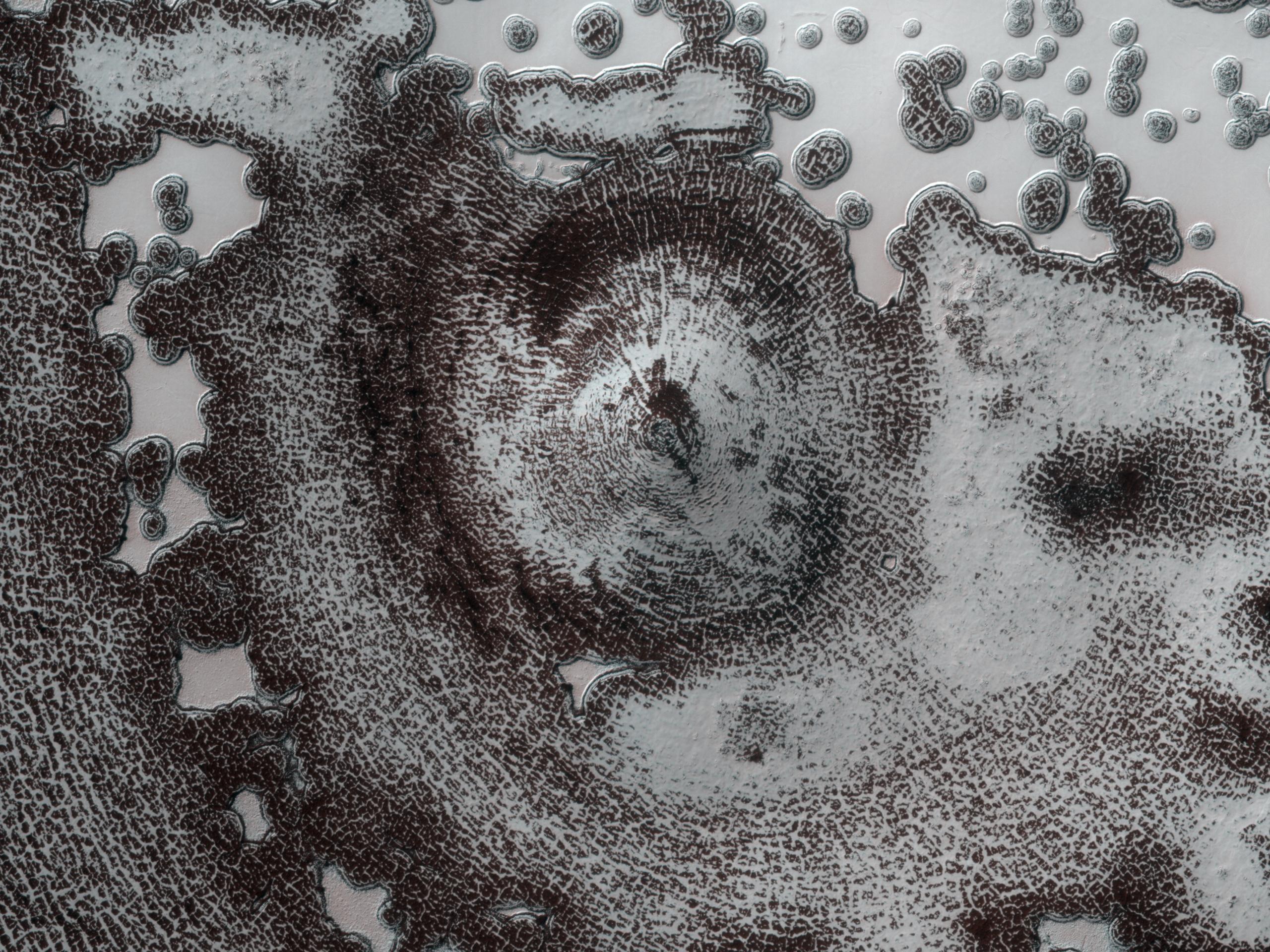
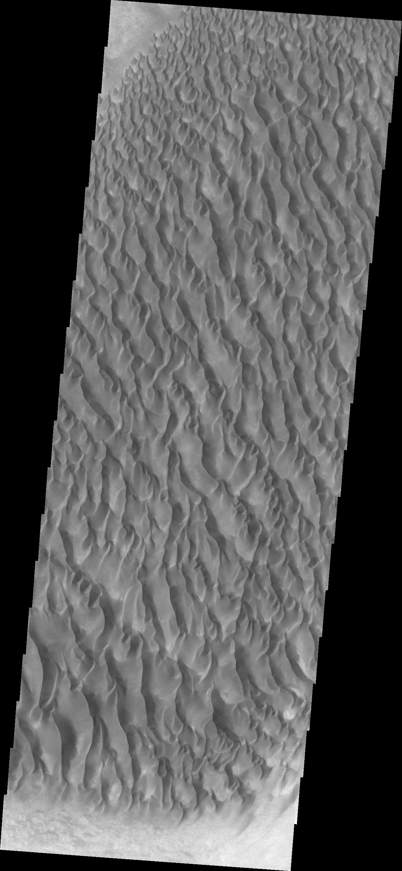
2010-12-21 |
Mars
|
2001 Mars Odyssey
|
THEMIS
|
1347x2772x1 |
|
-
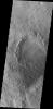
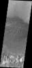
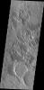
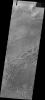
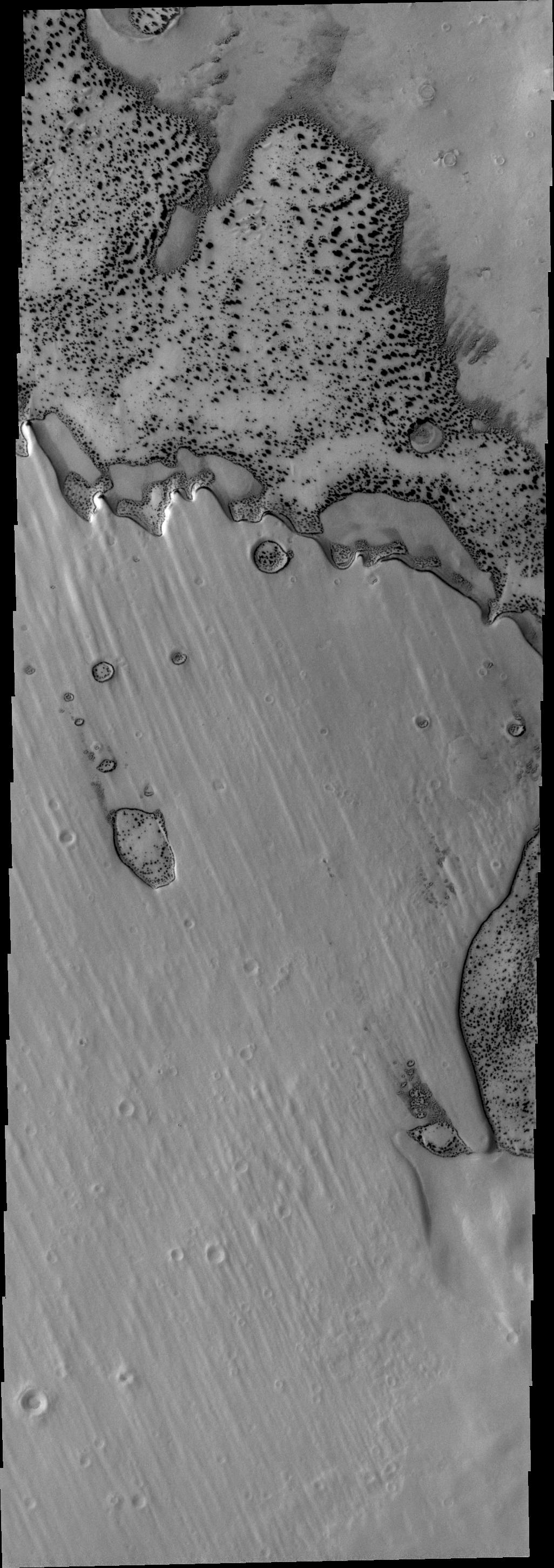
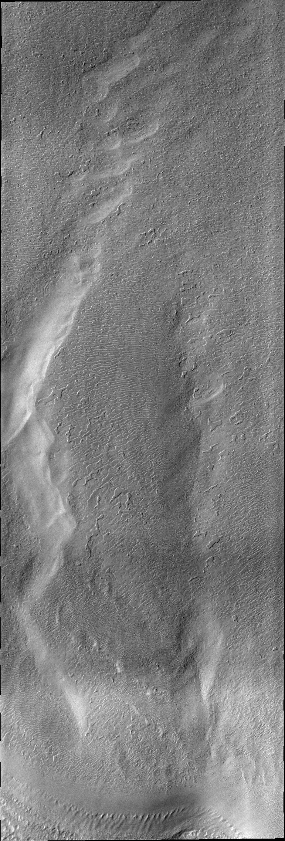
PIA13733:
-
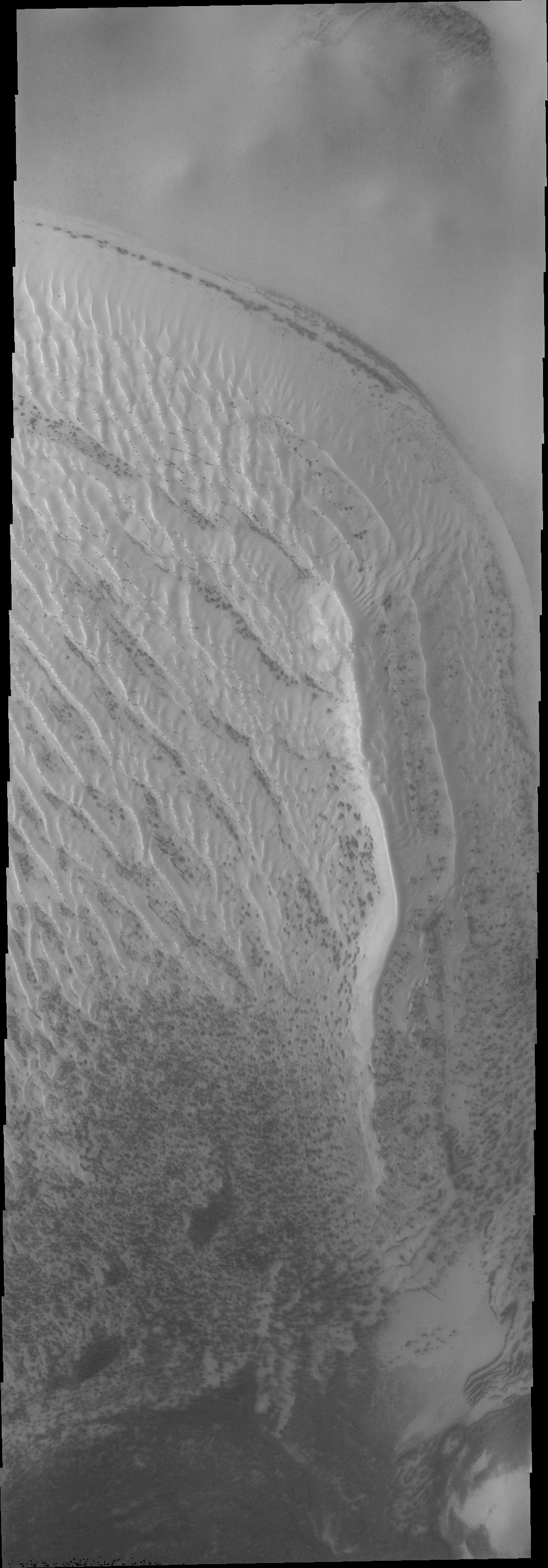
Sand Dunes
Full Resolution:
TIFF
(3.738 MB)
JPEG
(278.3 kB)
|
|
|
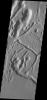
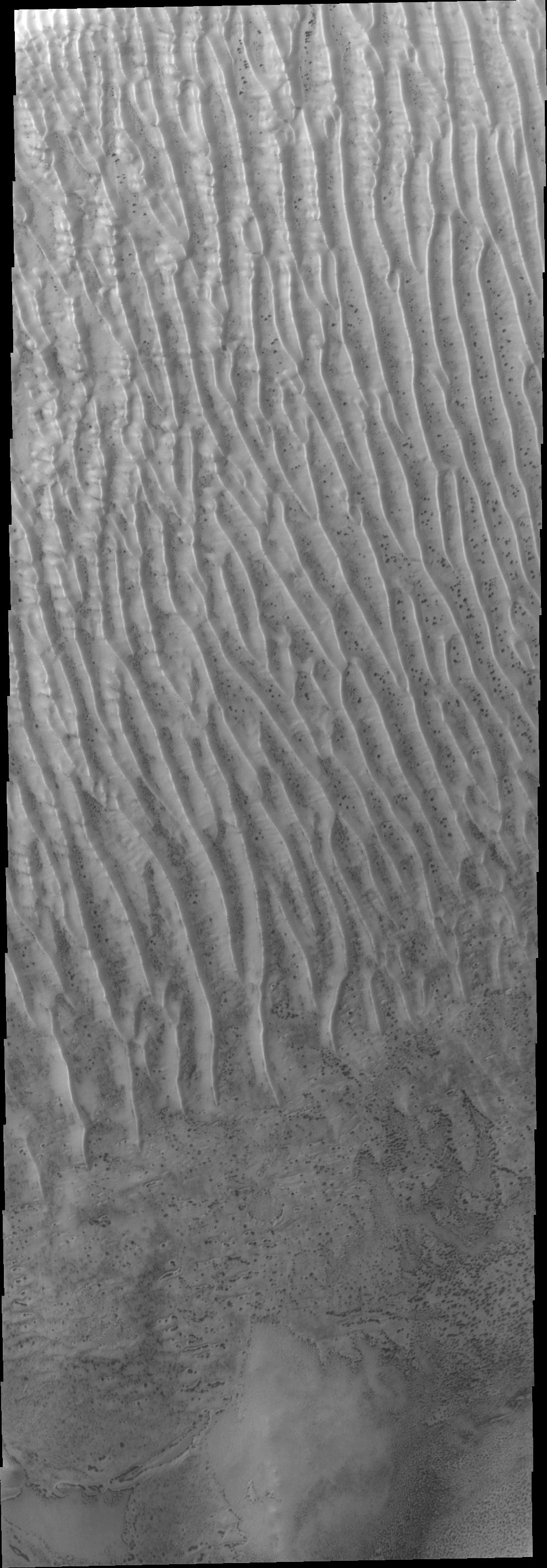
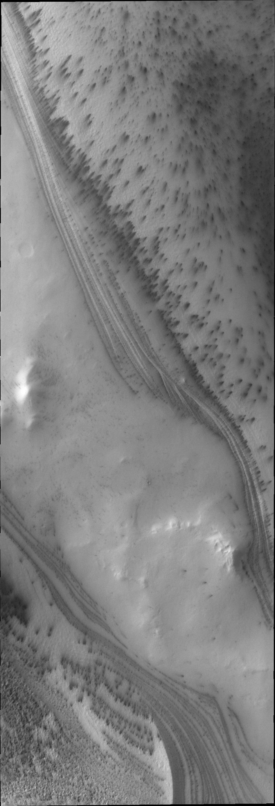
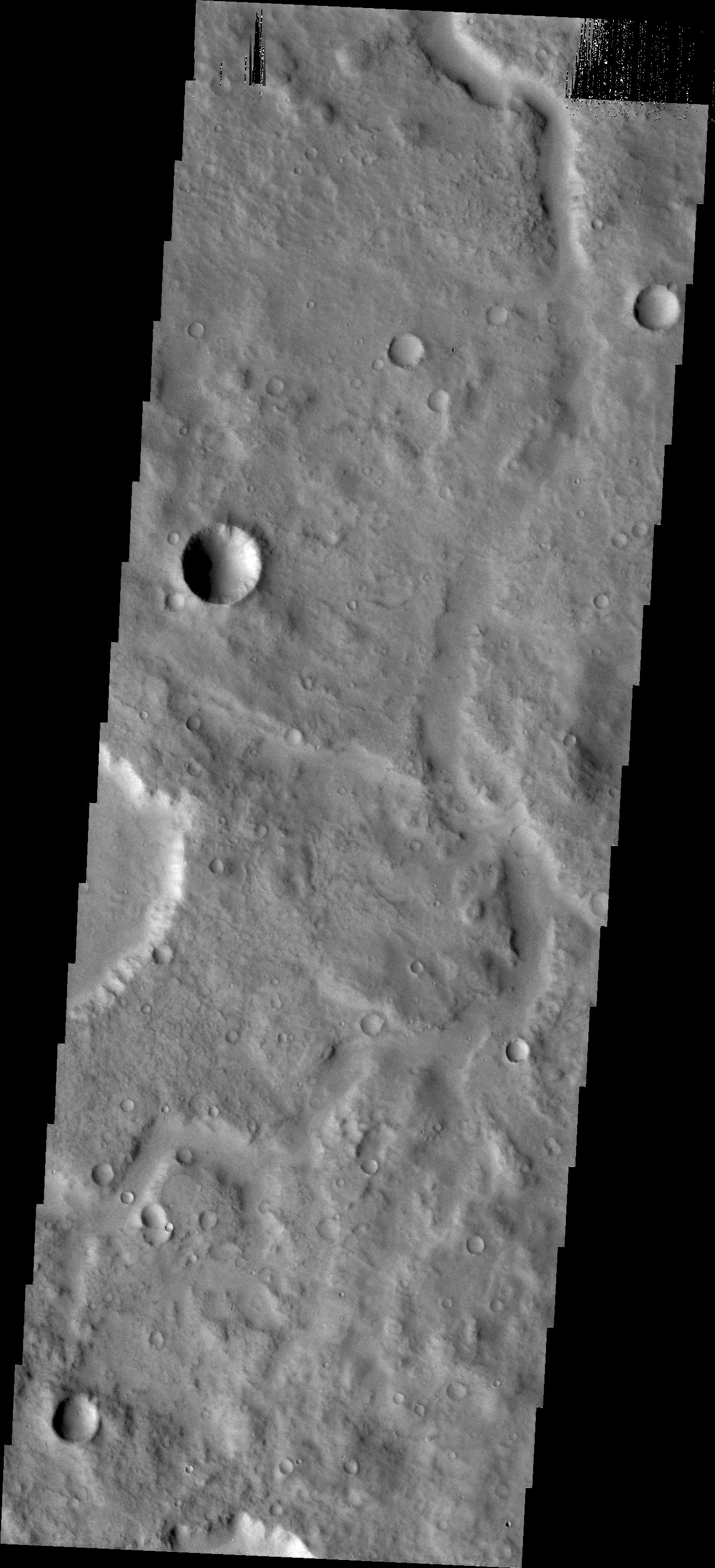
2010-12-21 |
Mars
|
2001 Mars Odyssey
|
THEMIS
|
1352x2917x1 |

|
-
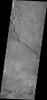
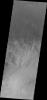
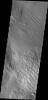
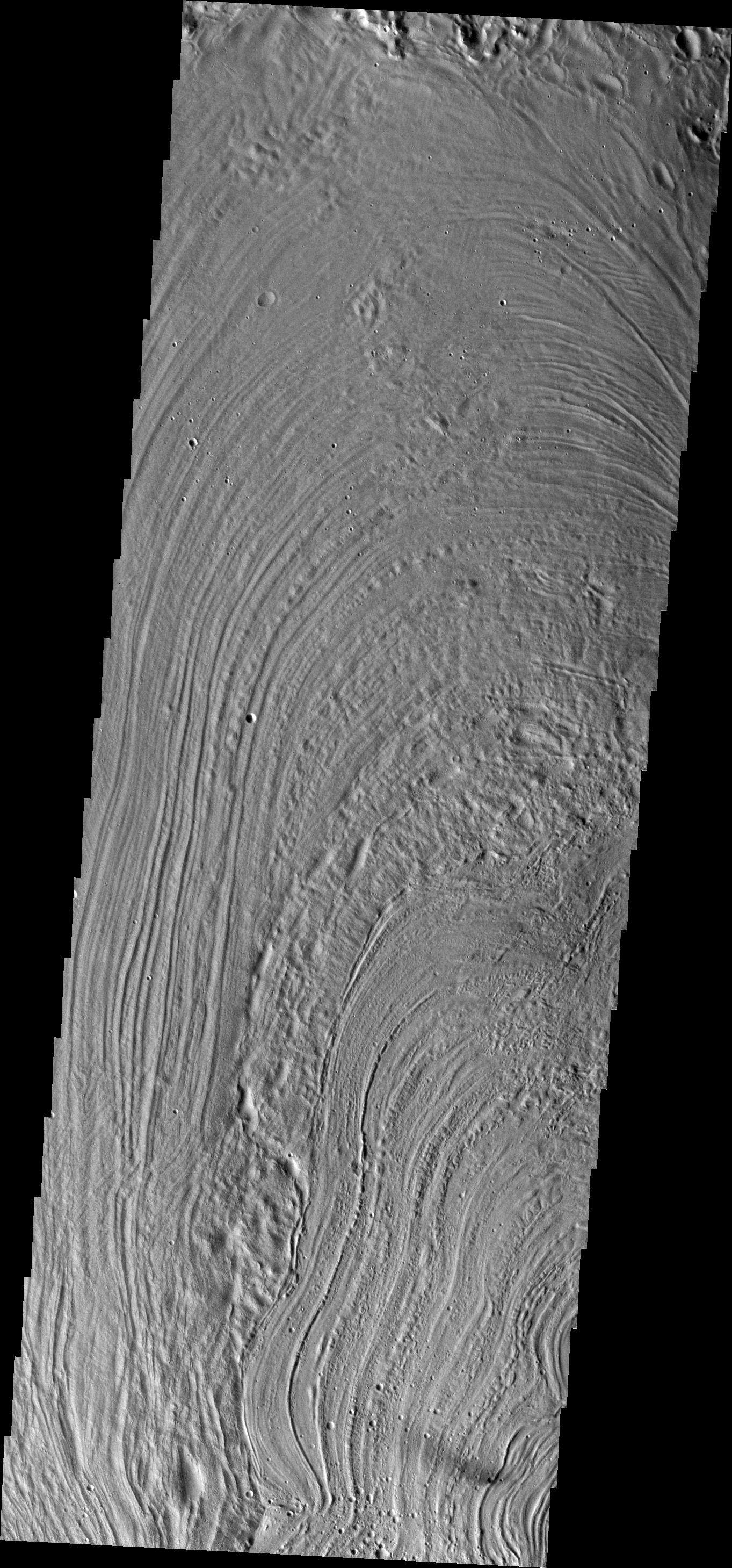
PIA13734:
-
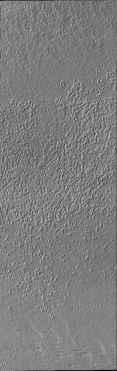
Collapse Features
Full Resolution:
TIFF
(3.948 MB)
JPEG
(306 kB)
|
|
|
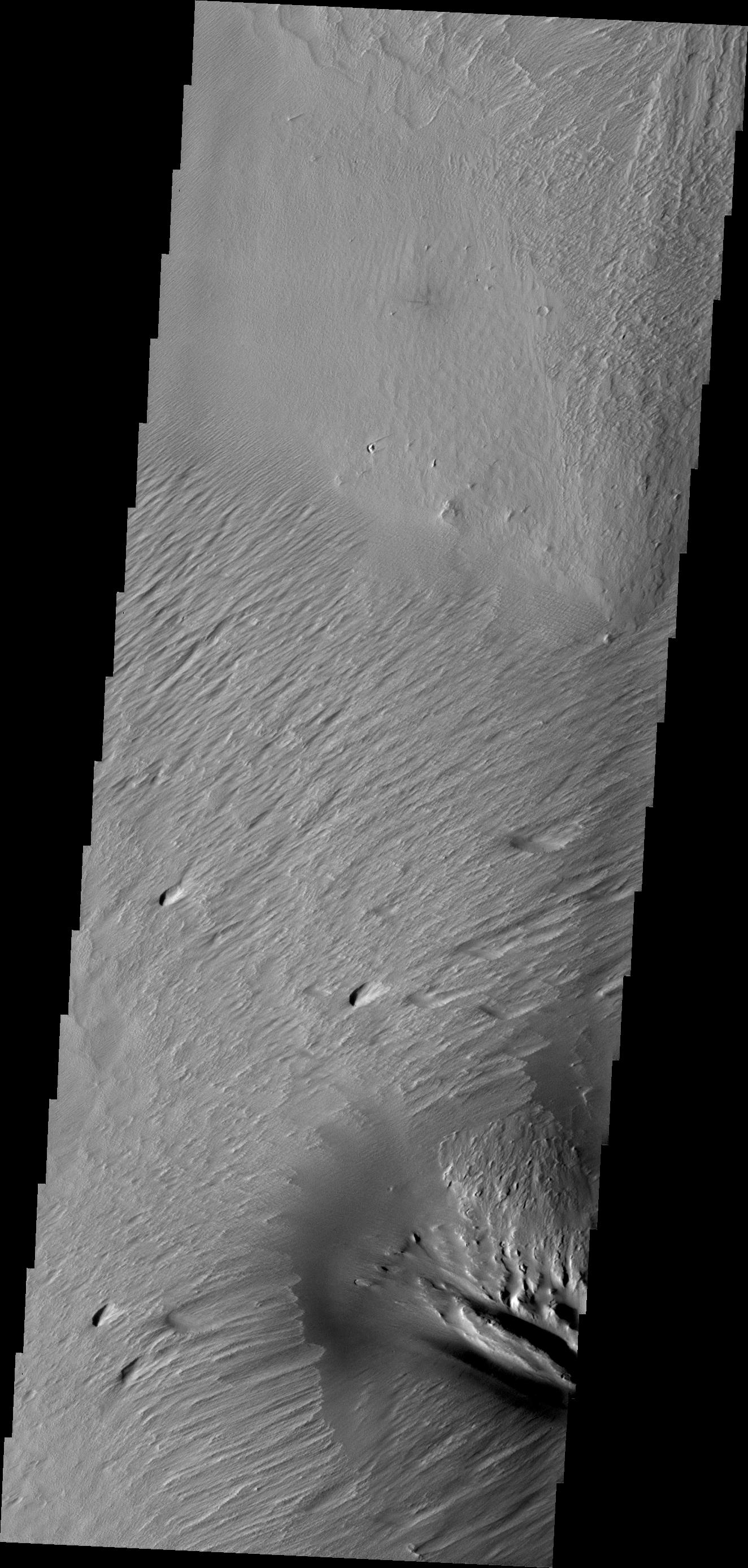
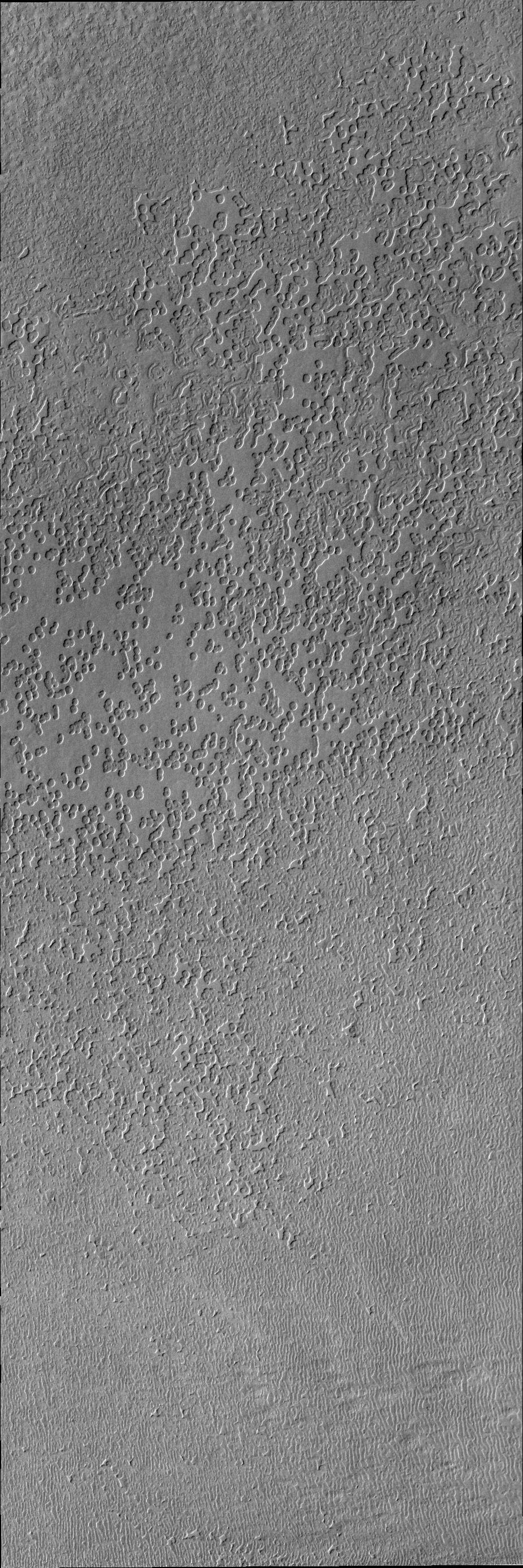
2010-12-22 |
Mars
|
2001 Mars Odyssey
|
THEMIS
|
1368x2920x1 |
|
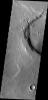
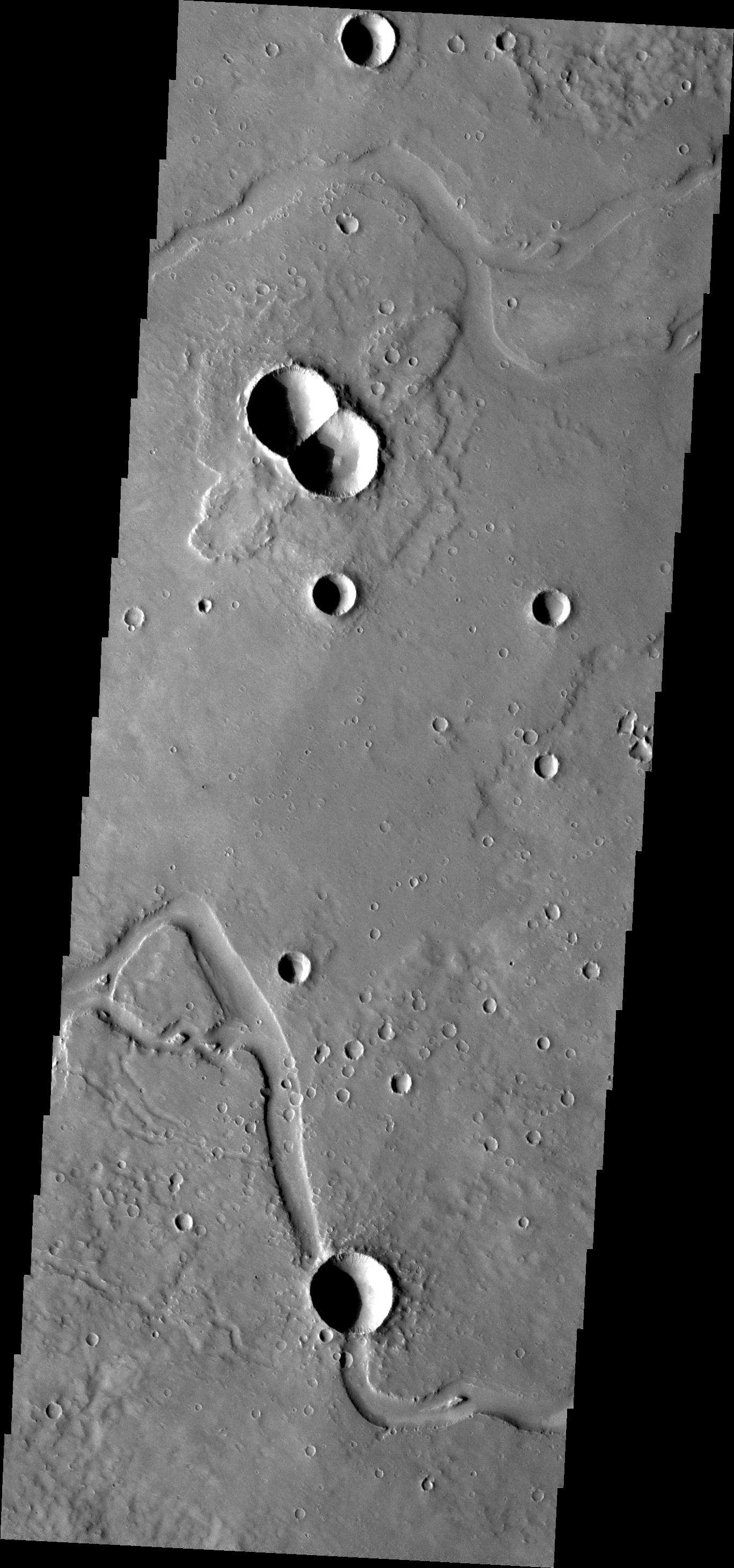
-
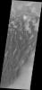
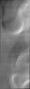
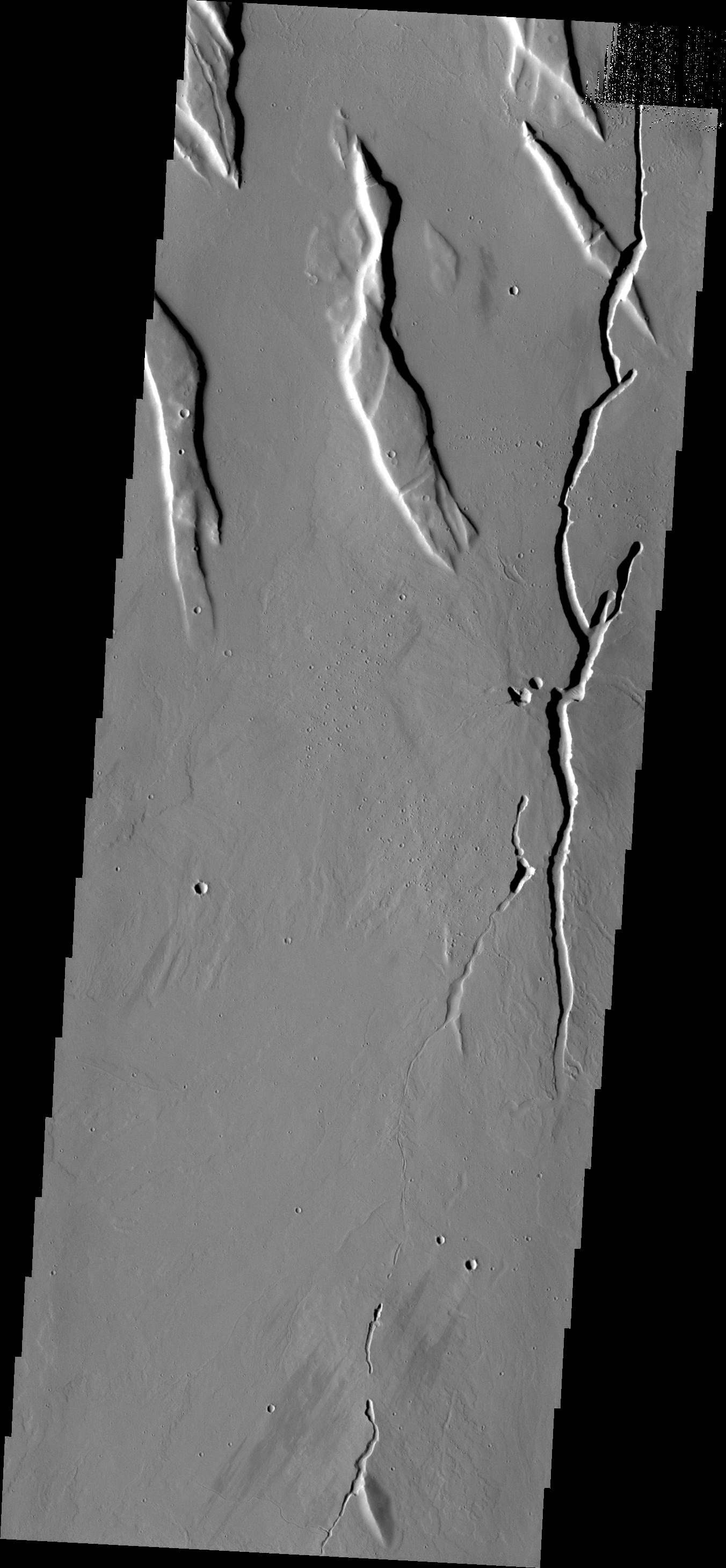
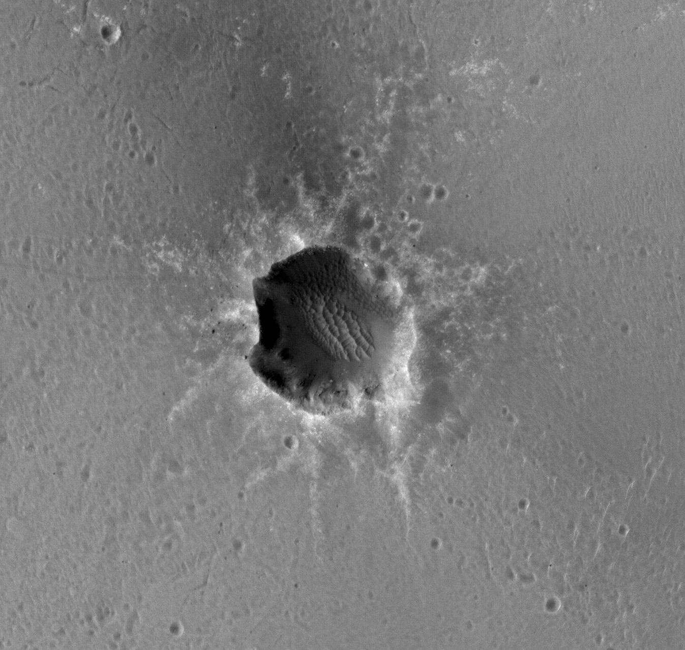
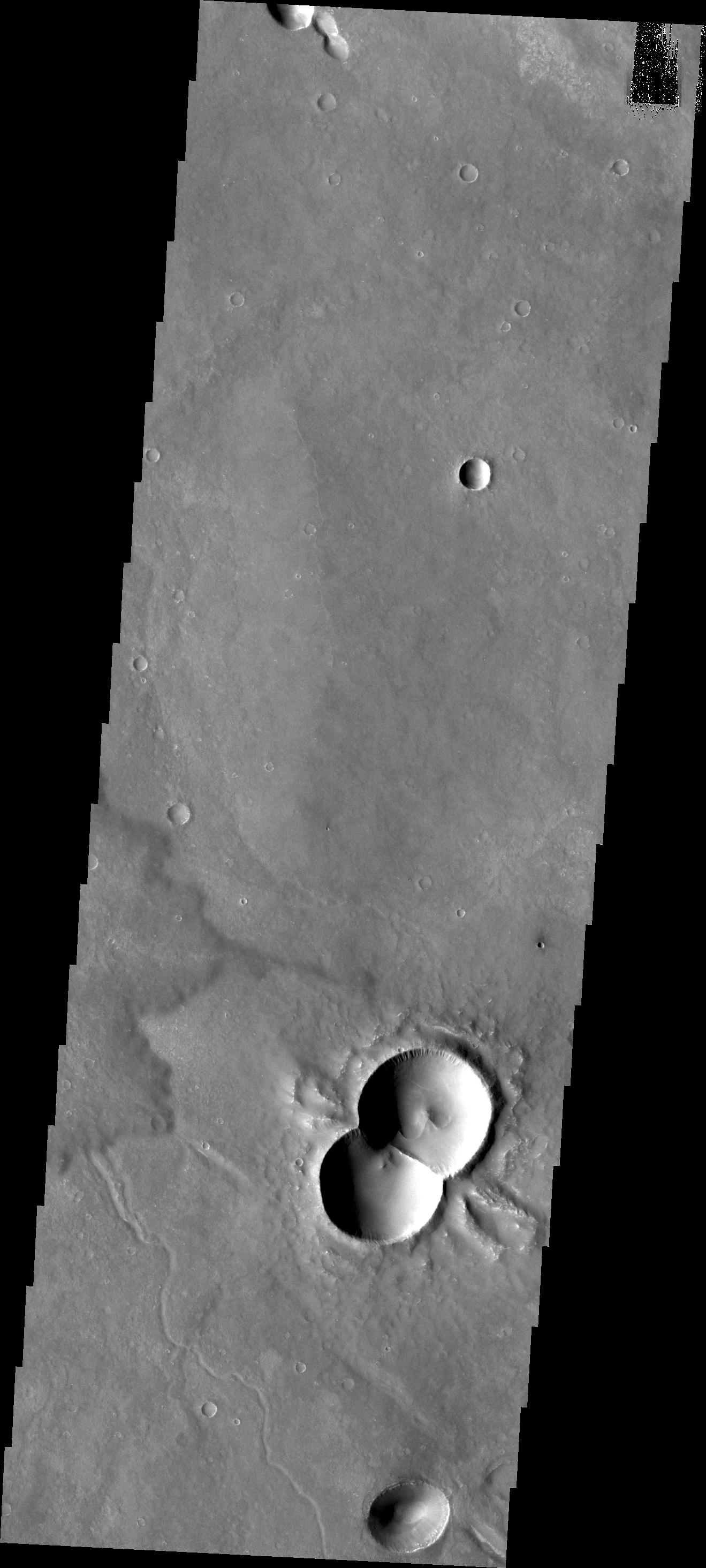
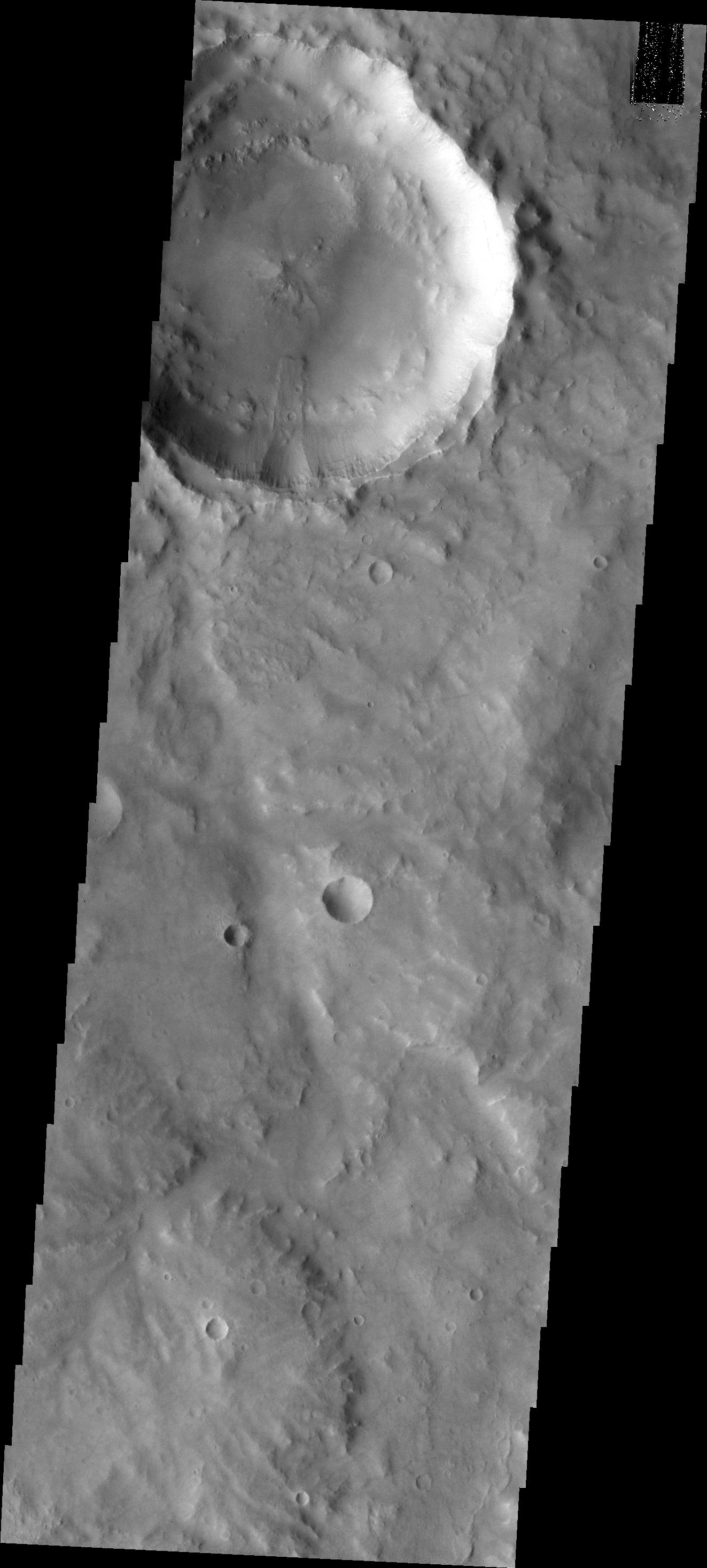
PIA13738:
-
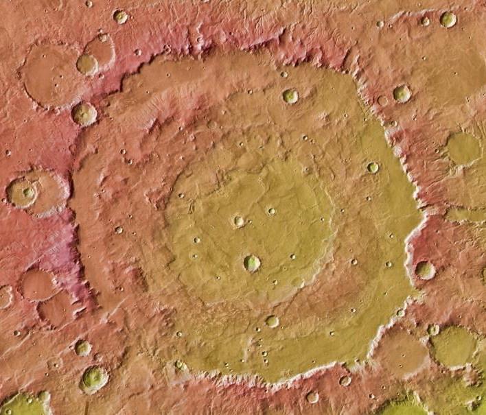
Doublet Crater
Full Resolution:
TIFF
(3.999 MB)
JPEG
(390.1 kB)
|
|
|
2010-12-23 |
Mars
|
2001 Mars Odyssey
|
THEMIS
|
945x2770x1 |
|
-
PIA13739:
-
South Polar Spots
Full Resolution:
TIFF
(2.621 MB)
JPEG
(254.4 kB)
|
|
|
2010-12-24 |
Mars
|
2001 Mars Odyssey
|
THEMIS
|
1317x2778x1 |
|
-
PIA13740:
-
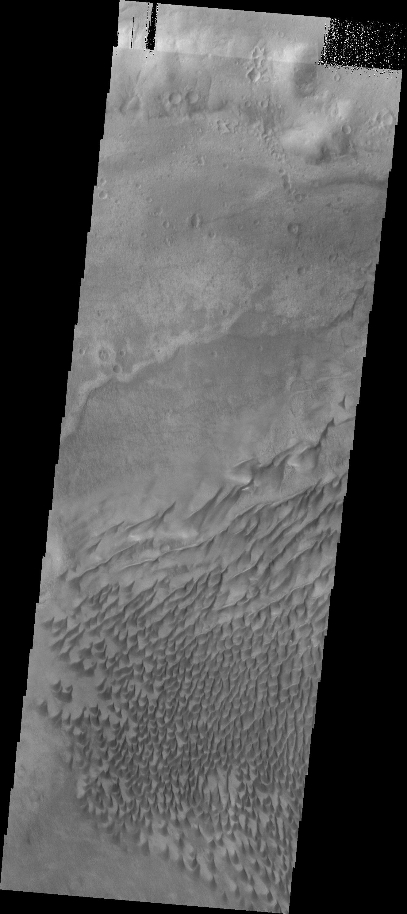
Sand Dunes
Full Resolution:
TIFF
(3.663 MB)
JPEG
(376.8 kB)
|
|
|
2010-12-27 |
Mars
|
2001 Mars Odyssey
|
THEMIS
|
1311x2775x1 |
|
-
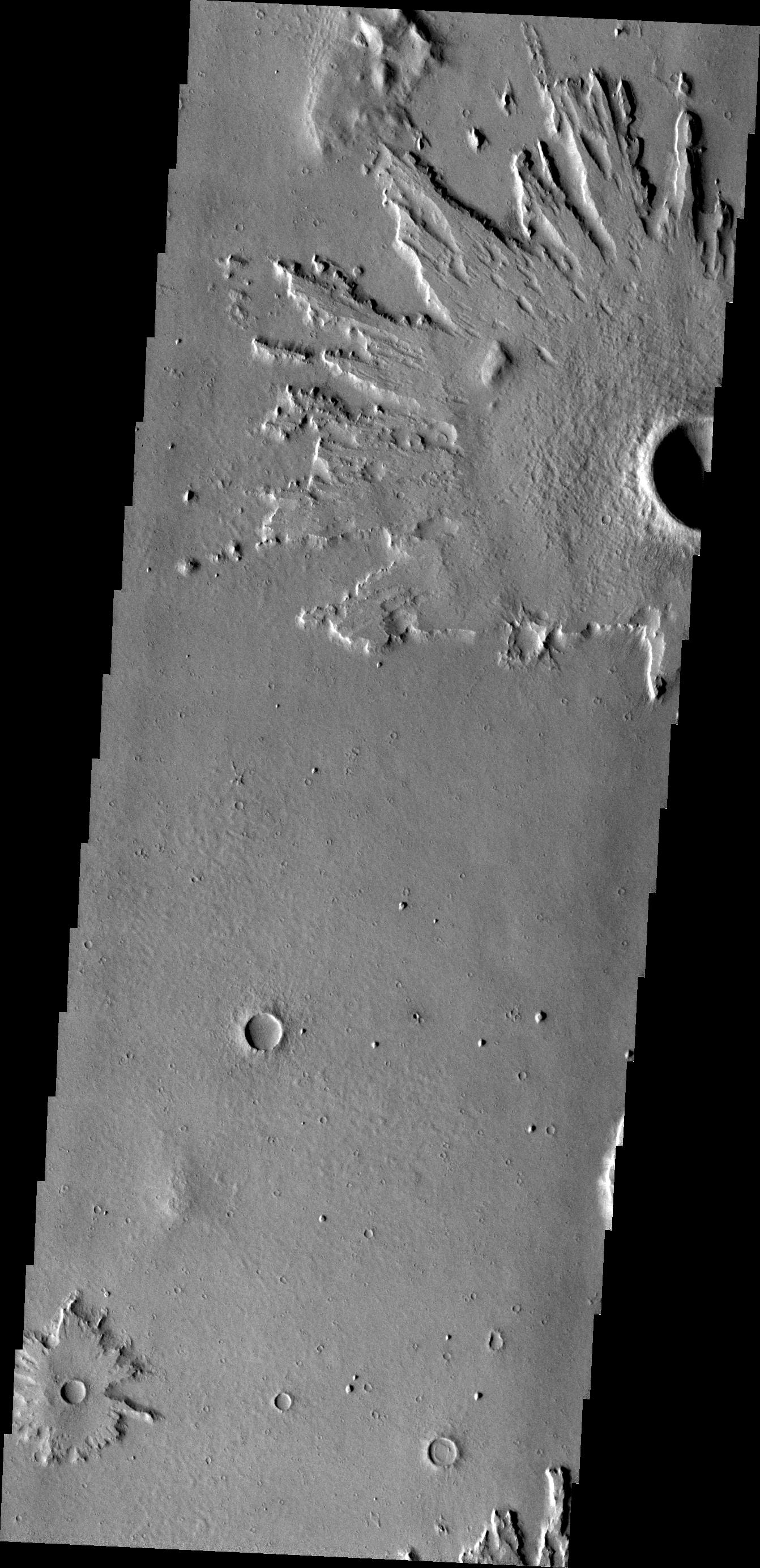
PIA13741:
-
Daedalia Planum
Full Resolution:
TIFF
(3.642 MB)
JPEG
(638.9 kB)
|
|
|
2010-12-27 |
Sol (our sun)
|
Mars Exploration Rover (MER)
|
Panoramic Camera
|
640x350x3 |

|
-
PIA13736:
-
Sunset Watched by Opportunity, November 2010

Full Resolution:
TIFF
(672.9 kB)
JPEG
(7.169 kB)
|
|
|
2010-12-27 |
Sol (our sun)
|
Mars Exploration Rover (MER)
|
Panoramic Camera
|
640x350x3 |
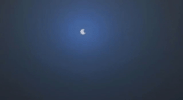
|
-
PIA13737:
-
Phobos Passes in Front of Sun's Face, Nov. 9, 2010
Full Resolution:
TIFF
(672.9 kB)
JPEG
(6.111 kB)
|
|
|
2010-12-28 |
Mars
|
Mars Exploration Rover (MER)
|
Hazcam
|
1004x1024x3 |
|
-
PIA13710:
-
Fisheye Stereo from Edge of 'Santa Maria' Crater, Sol 2459
Full Resolution:
TIFF
(3.089 MB)
JPEG
(111.5 kB)
|
|
|
2010-12-28 |
Mars
|
2001 Mars Odyssey
|
THEMIS
|
1371x2918x1 |
|
-
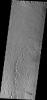
PIA13742:
-
Kasei Valles
Full Resolution:
TIFF
(4.005 MB)
JPEG
(261.6 kB)
|
|
|
2010-12-29 |
Mars
|
2001 Mars Odyssey
|
THEMIS
|
1359x2920x1 |
|
-
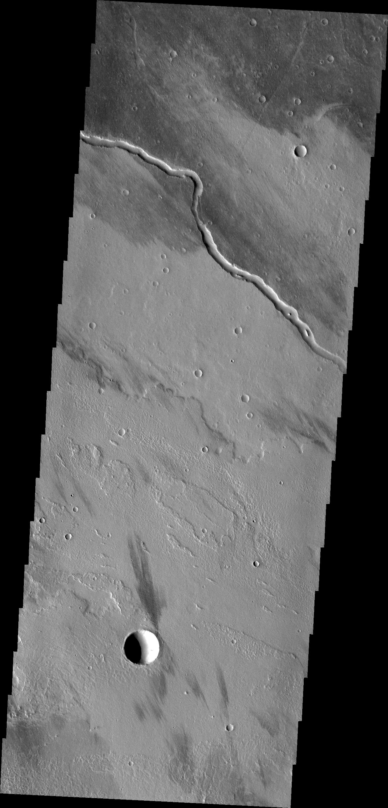
PIA13743:
-
Channels
Full Resolution:
TIFF
(3.972 MB)
JPEG
(441.1 kB)
|
|
|
2010-12-30 |
Mars
|
2001 Mars Odyssey
|
THEMIS
|
1339x2771x1 |
|
-
PIA13744:
-
Aram Chaos
Full Resolution:
TIFF
(3.714 MB)
JPEG
(320.8 kB)
|
|
|
2010-12-31 |
Mars
|
2001 Mars Odyssey
|
THEMIS
|
1304x2765x1 |
|
-
PIA13745:
-
Ascraeus Mons
Full Resolution:
TIFF
(3.609 MB)
JPEG
(243.8 kB)
|
|
|
2011-01-03 |
Mars
|
2001 Mars Odyssey
|
THEMIS
|
1302x2904x1 |

|
-
PIA13747:
-
Olympus Mons
Full Resolution:
TIFF
(3.785 MB)
JPEG
(373.4 kB)
|
|
|
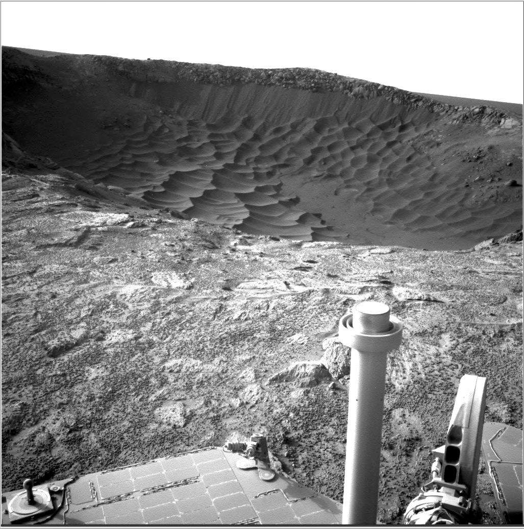
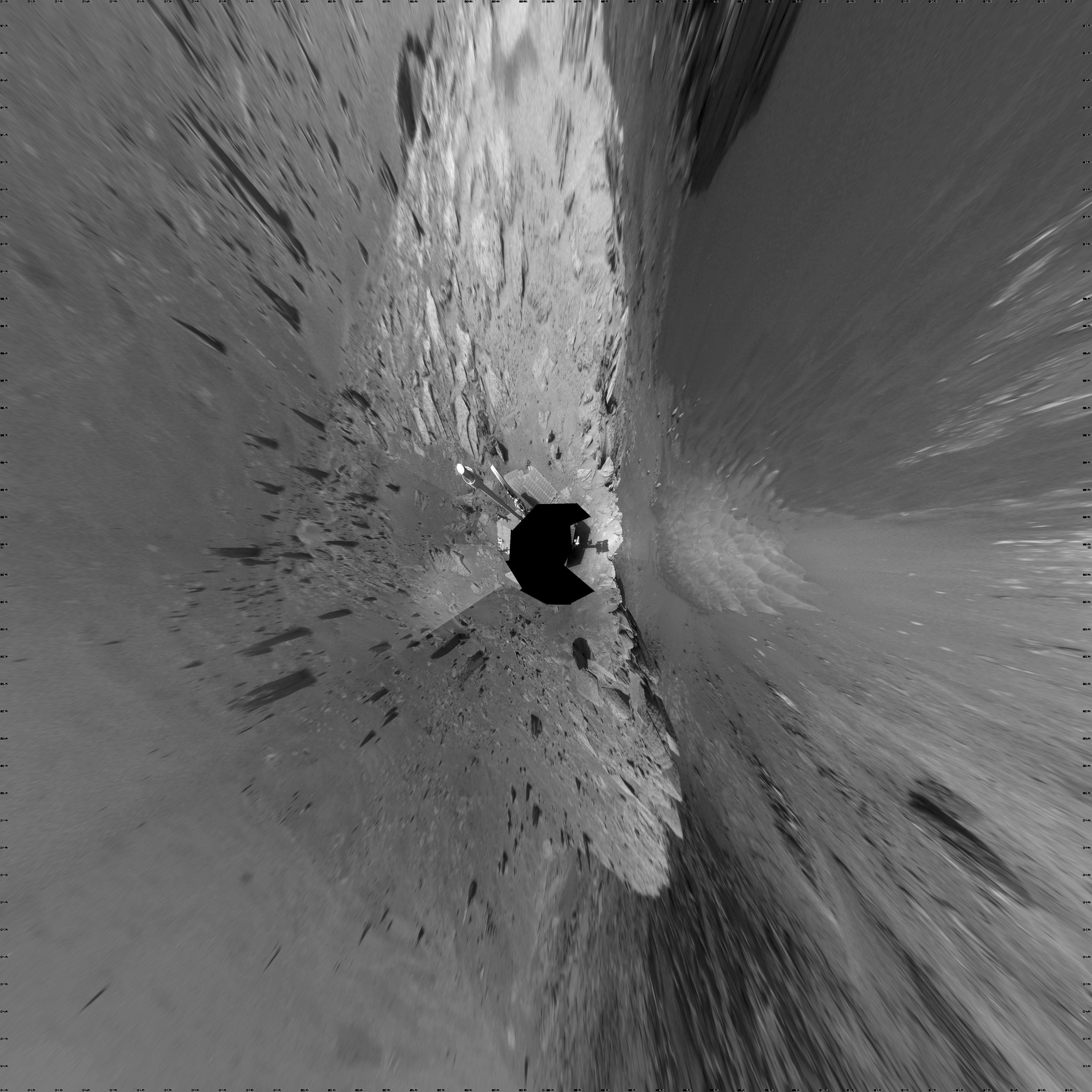
2011-01-03 |
Mars
|
Mars Exploration Rover (MER)
|
Navigation Camera
|
7688x1752x1 |
|
-
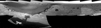
PIA13750:
-
'Santa Maria' Crater in 360-Degree View, Sol 2451
Full Resolution:
TIFF
(13.48 MB)
JPEG
(1.236 MB)
|
|
|
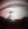
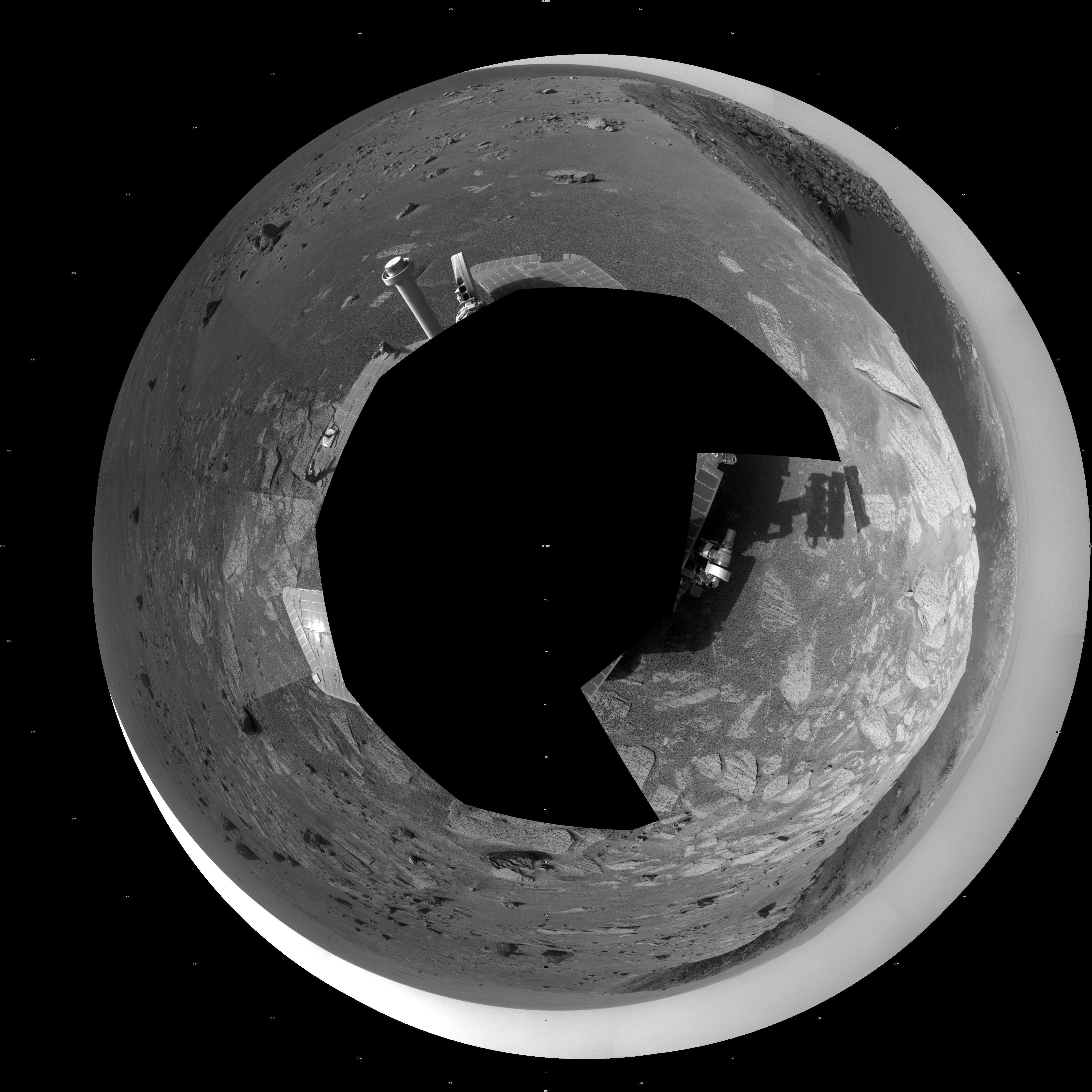
2011-01-03 |
Mars
|
Mars Exploration Rover (MER)
|
Navigation Camera
|
7753x2243x3 |

|
-
PIA13751:
-
'Santa Maria' Crater in 360-Degree View, Sol 2451 (Stereo)
Full Resolution:
TIFF
(52.17 MB)
JPEG
(1.44 MB)
|
|
|
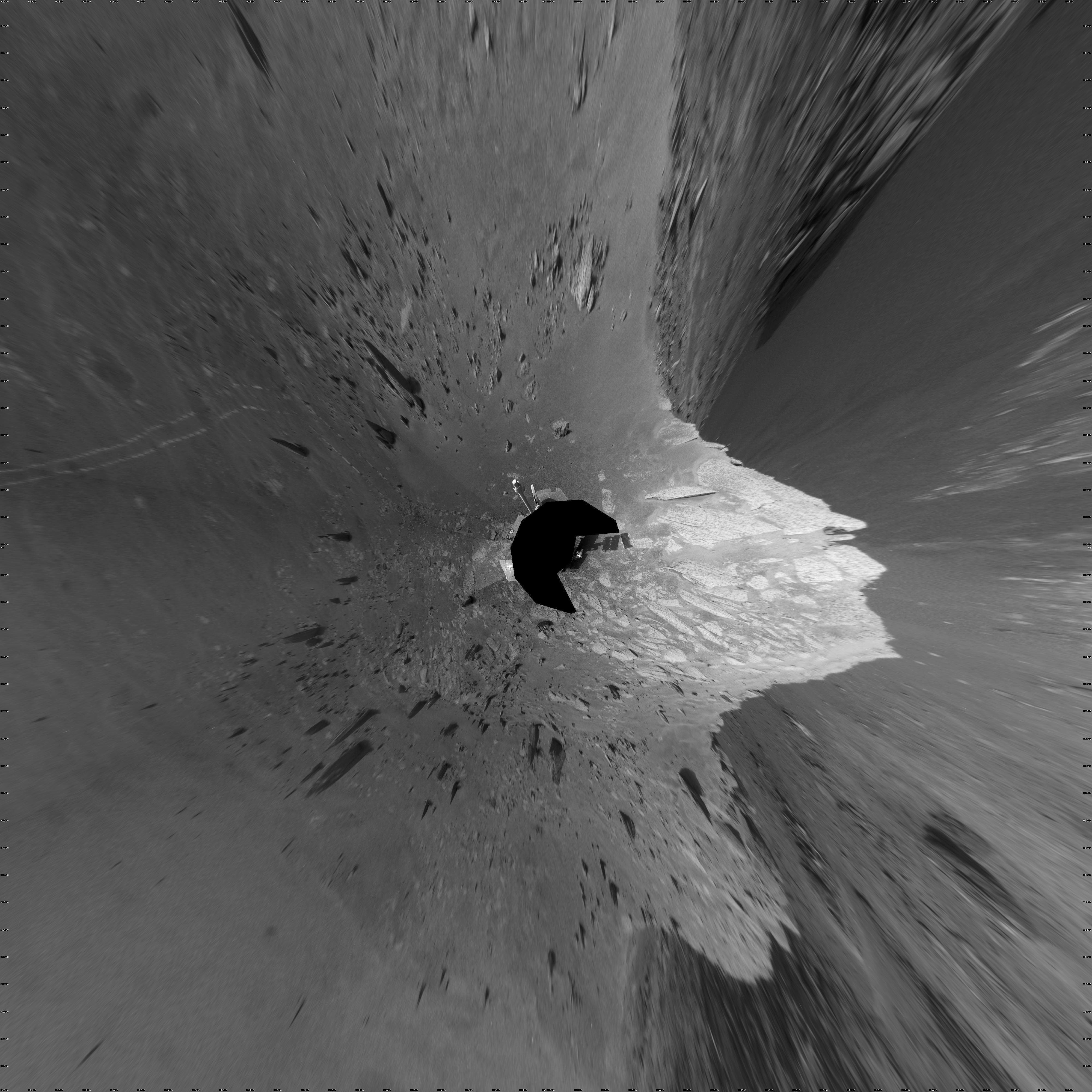
2011-01-03 |
Mars
|
Mars Exploration Rover (MER)
|
Navigation Camera
|
4443x4443x1 |
|
-
PIA13752:
-
'Santa Maria' Crater in 360-Degree View, Sol 2451 (Polar)
Full Resolution:
TIFF
(19.78 MB)
JPEG
(1.462 MB)
|
|
|
2011-01-03 |
Mars
|
Mars Exploration Rover (MER)
|
Navigation Camera
|
4000x4000x1 |

|
-
PIA13753:
-
'Santa Maria' Crater in 360-Degree View, Sol 2451 (Vertical)
Full Resolution:
TIFF
(16.02 MB)
JPEG
(1.289 MB)
|
|
|
2011-01-04 |
Mars
|
Mars Exploration Rover (MER)
Mars Reconnaissance Orbiter (MRO)
|
HiRISE
|
1347x1277x1 |

|
-
PIA13754:
-
Mars Orbiter Sees Rover Opportunity at Crater Edge
Full Resolution:
TIFF
(1.722 MB)
JPEG
(195 kB)
|
|
|
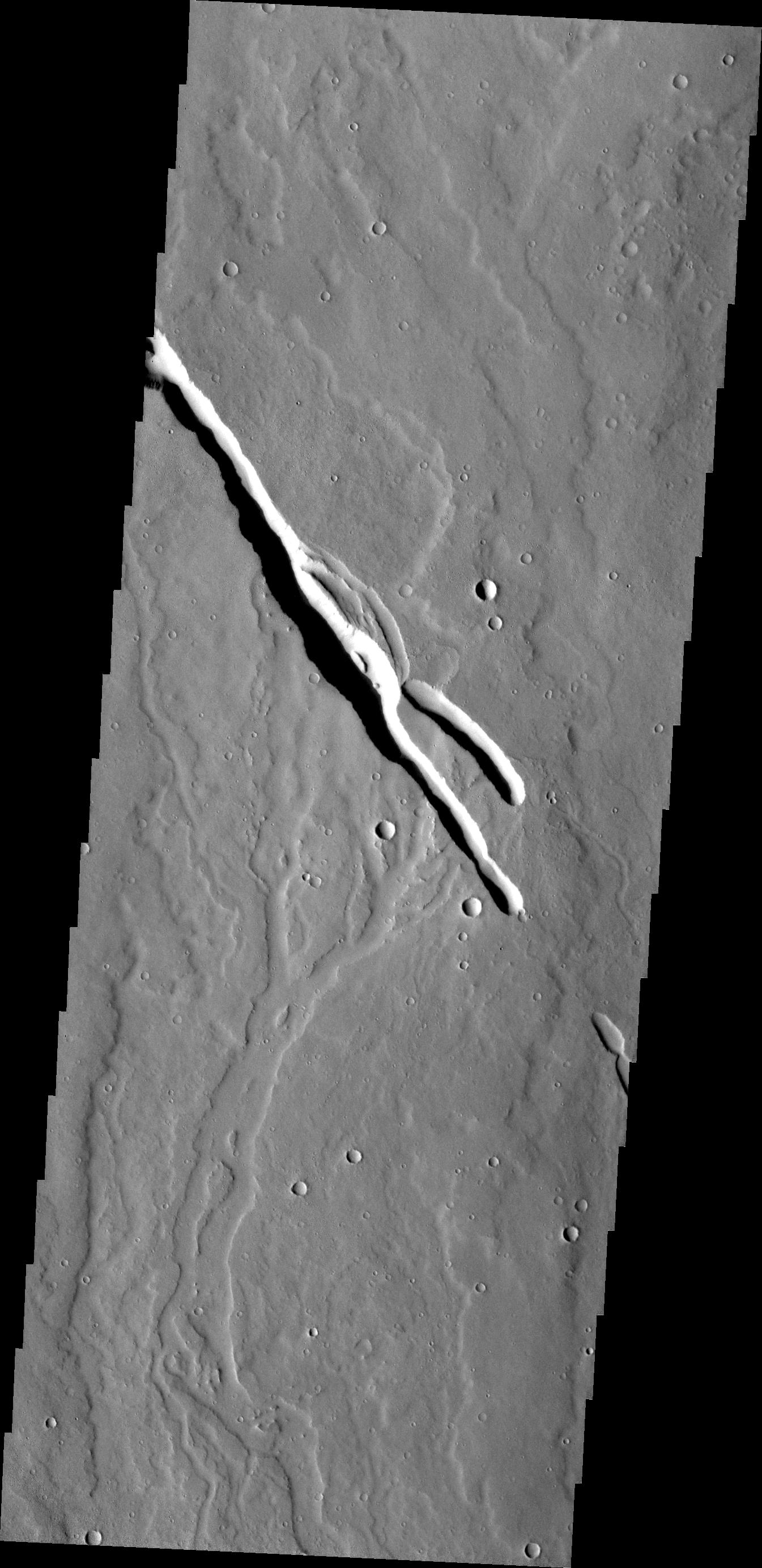
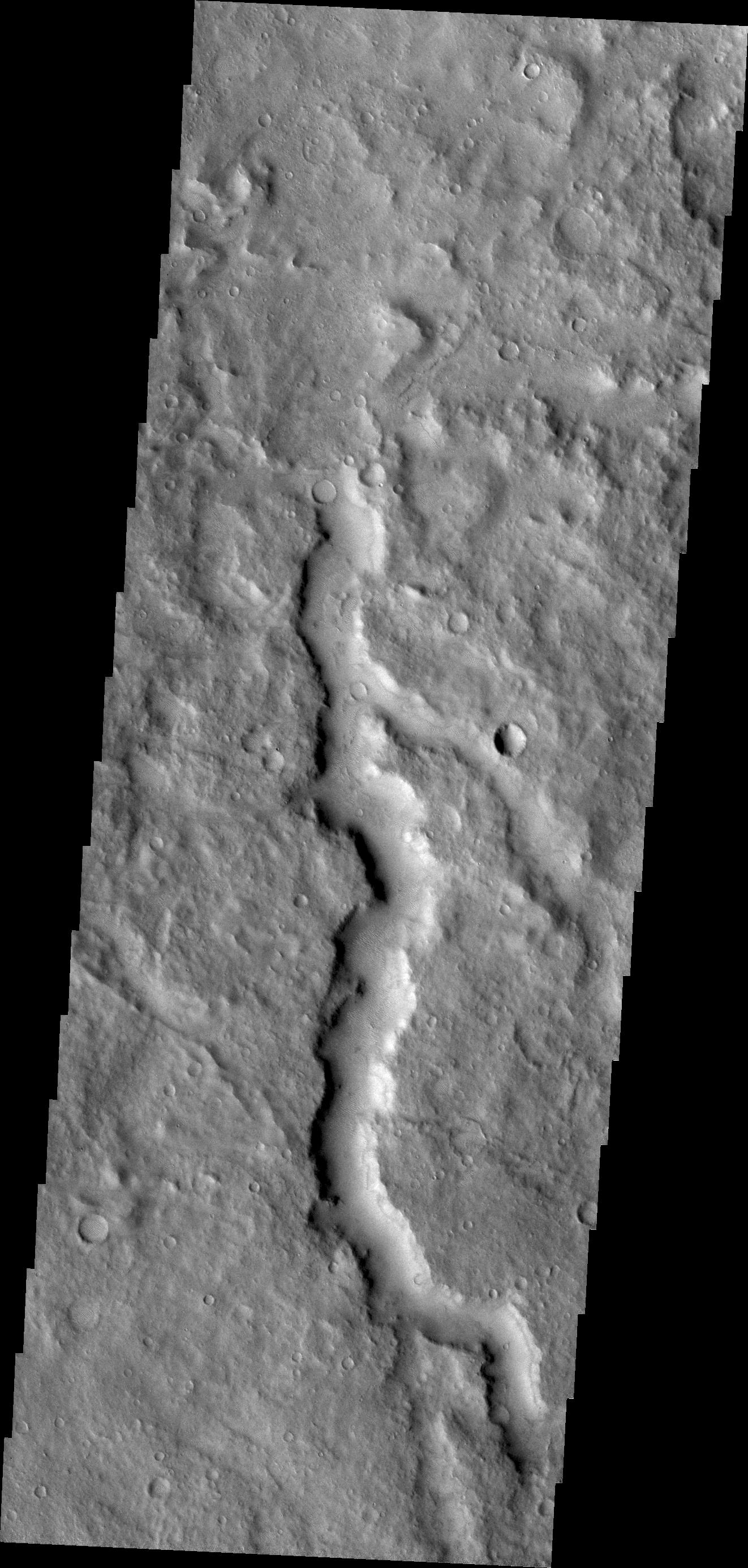
2011-01-04 |
Mars
|
2001 Mars Odyssey
|
THEMIS
|
1330x2769x1 |

|
-
PIA13749:
-
Channel
Full Resolution:
TIFF
(3.687 MB)
JPEG
(416.4 kB)
|
|
|
2011-01-05 |
Mars
|
Mars Reconnaissance Orbiter (MRO)
|
HiRISE
|
2560x1920x3 |
|
-
PIA13725:
-
Layered Bedrock in Candor Chasma
Full Resolution:
TIFF
(14.76 MB)
JPEG
(831.1 kB)
|
|
|
2011-01-05 |
Mars
|
2001 Mars Odyssey
|
THEMIS
|
1340x2772x1 |
|
-
PIA13772:
-
Wind Erosion
Full Resolution:
TIFF
(3.718 MB)
JPEG
(447.5 kB)
|
|
|
2011-01-06 |
Mars
|
2001 Mars Odyssey
|
THEMIS
|
934x2769x1 |

|
-
PIA13773:
-
South Pole
Full Resolution:
TIFF
(2.589 MB)
JPEG
(265.6 kB)
|
|
|
2011-01-07 |
Mars
|
2001 Mars Odyssey
|
THEMIS
|
993x2845x1 |
|
-
PIA13774:
-
Richardson Crater Dunes
Full Resolution:
TIFF
(2.828 MB)
JPEG
(308.9 kB)
|
|
|
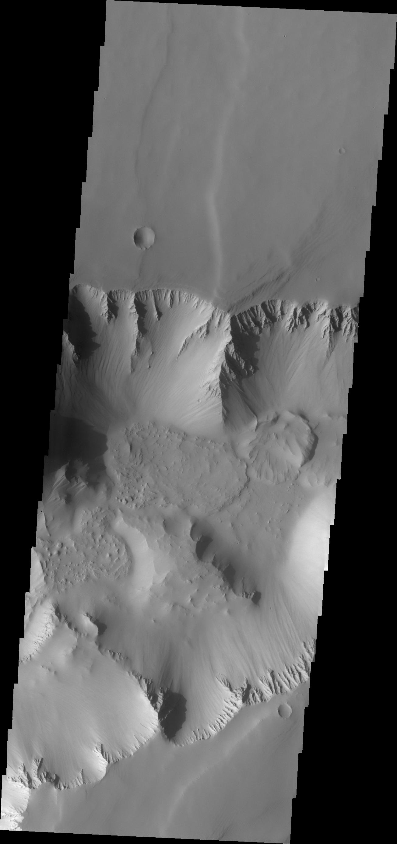
2011-01-10 |
Mars
|
2001 Mars Odyssey
|
THEMIS
|
1325x2778x1 |
|
-
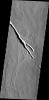
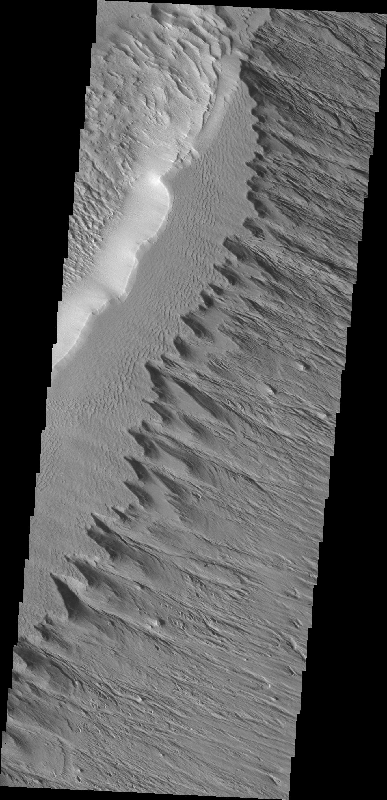
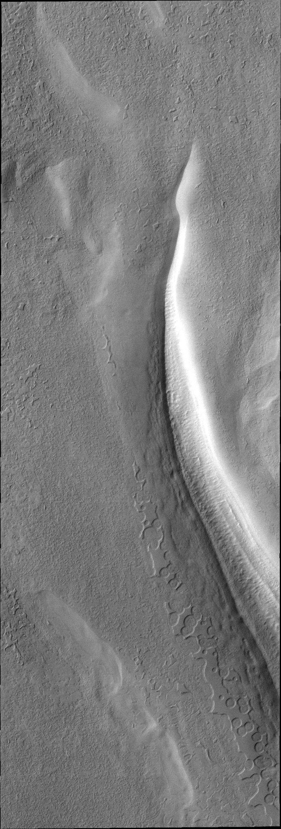
PIA13778:
-
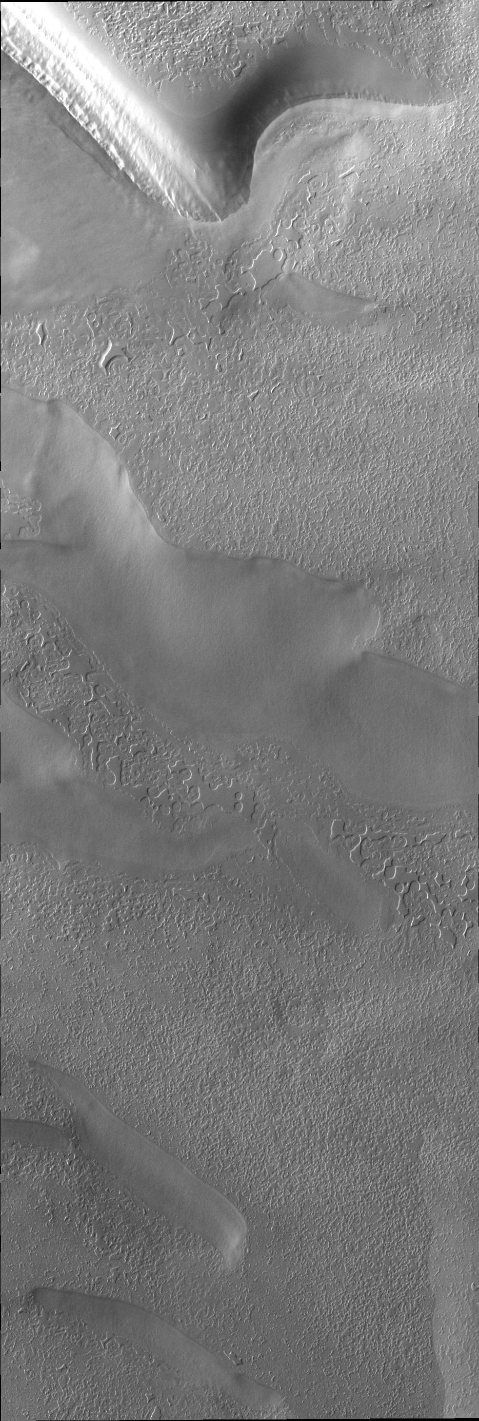
Ius Chasma Landslide
Full Resolution:
TIFF
(3.685 MB)
JPEG
(327.8 kB)
|
|
|
2011-01-11 |
Mars
|
2001 Mars Odyssey
|
THEMIS
|
1349x2923x1 |
|
-
PIA13780:
-
Avernus Colles
Full Resolution:
TIFF
(3.947 MB)
JPEG
(509.3 kB)
|
|
|
2011-01-12 |
Mars
|
Mars Reconnaissance Orbiter (MRO)
|
HiRISE
|
2560x1920x3 |
|
-
PIA13726:
-
Layers Exposed in Crater Near Mawrth Vallis
Full Resolution:
TIFF
(14.76 MB)
JPEG
(650.8 kB)
|
|
|
2011-01-12 |
Mars
|
2001 Mars Odyssey
|
THEMIS
|
1348x2828x1 |
|
-
PIA13783:
-
Russell Crater Dunes
Full Resolution:
TIFF
(3.816 MB)
JPEG
(242.1 kB)
|
|
|
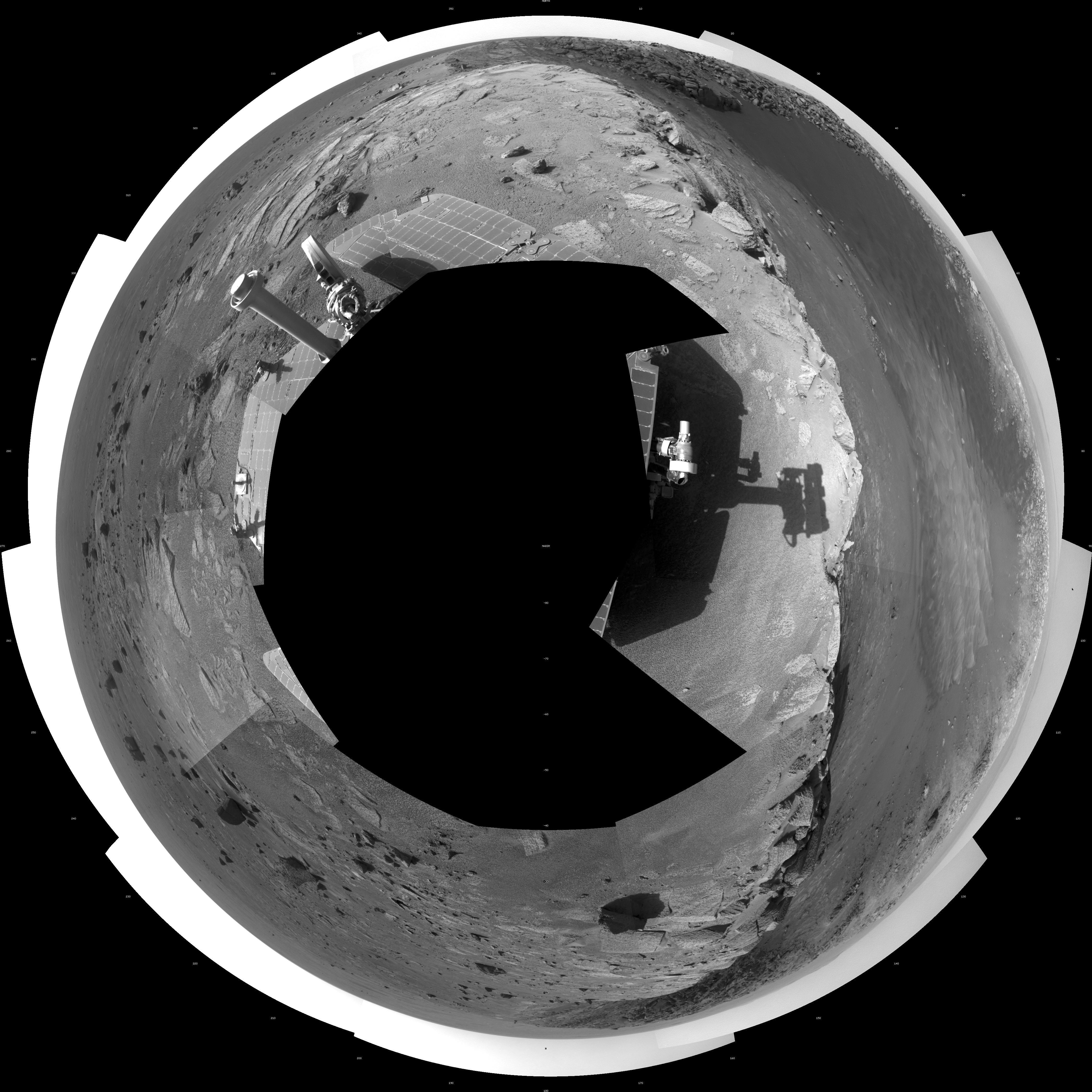
2011-01-13 |
Mars
|
Mars Exploration Rover (MER)
|
Navigation Camera
|
1027x1036x1 |

|
-
PIA13755:
-
Textures of 'Santa Maria' Crater, Sol 2476
Full Resolution:
TIFF
(1.065 MB)
JPEG
(226.6 kB)
|
|
|
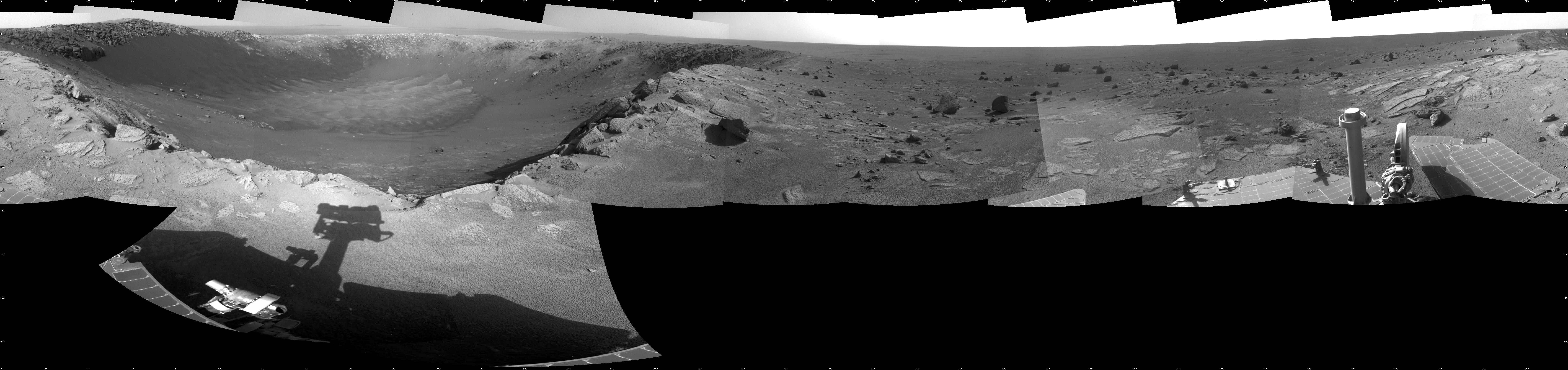
2011-01-13 |
Mars
|
Mars Exploration Rover (MER)
|
Navigation Camera
|
7688x1812x1 |
|
-
PIA13756:
-
View of 'Santa Maria' Crater from Western Rim, Sol 2454
Full Resolution:
TIFF
(13.95 MB)
JPEG
(1.253 MB)
|
|
|
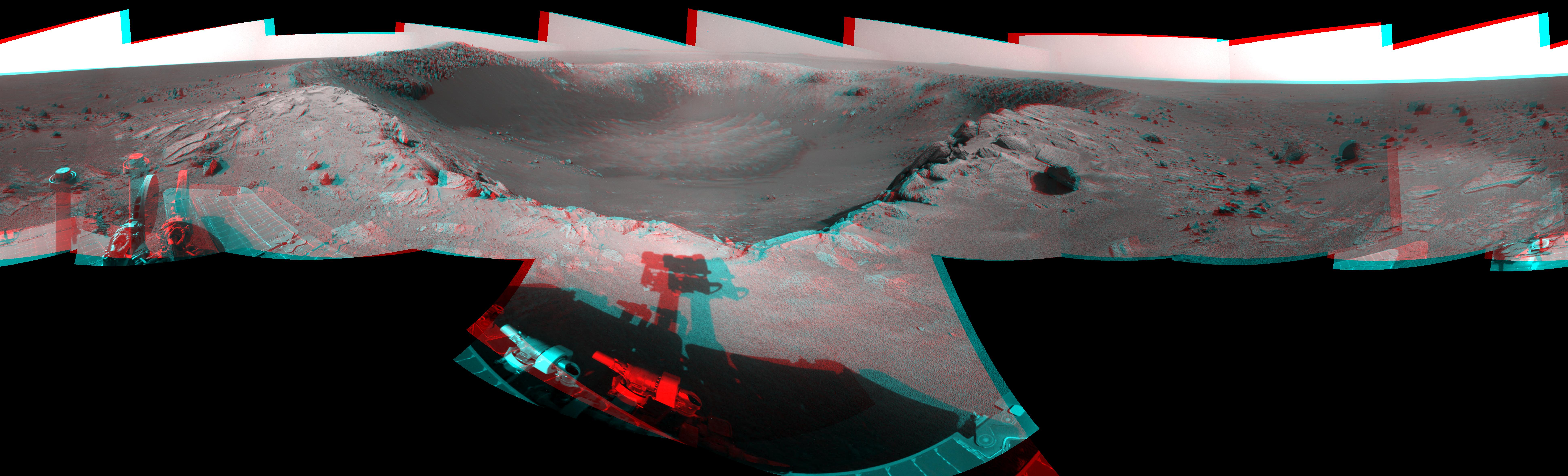
2011-01-13 |
Mars
|
Mars Exploration Rover (MER)
|
Navigation Camera
|
7753x2352x3 |
|
-
PIA13757:
-
View of 'Santa Maria' Crater from Western Rim, Sol 2454 (Stereo)
Full Resolution:
TIFF
(54.71 MB)
JPEG
(1.487 MB)
|
|
|
2011-01-13 |
Mars
|
Mars Exploration Rover (MER)
|
Navigation Camera
|
4187x4187x1 |
|
-
PIA13758:
-
View of 'Santa Maria' Crater from Western Rim, Sol 2454 (Polar)
Full Resolution:
TIFF
(17.56 MB)
JPEG
(1.44 MB)
|
|
|
2011-01-13 |
Mars
|
Mars Exploration Rover (MER)
|
Navigation Camera
|
4000x4000x1 |

|
-
PIA13759:
-
View of 'Santa Maria' Crater from Western Rim, Sol 2454 (Vertical)
Full Resolution:
TIFF
(16.02 MB)
JPEG
(1.38 MB)
|
|
|
2011-01-13 |
Mars
|
2001 Mars Odyssey
|
THEMIS
|
1037x3084x1 |
|
-
PIA13784:
-
Wegener Crater Dunes
Full Resolution:
TIFF
(3.202 MB)
JPEG
(289.3 kB)
|
|
|
2011-01-15 |
Mars
|
2001 Mars Odyssey
|
THEMIS
|
1324x2780x1 |
|
-
PIA13786:
-
Coprates Chasma
Full Resolution:
TIFF
(3.685 MB)
JPEG
(276 kB)
|
|
|
2011-01-17 |
Mars
|
2001 Mars Odyssey
|
THEMIS
|
1304x2772x1 |

|
-
PIA13787:
-
Noctis Labyrinthus
Full Resolution:
TIFF
(3.619 MB)
JPEG
(170.4 kB)
|
|
|
2011-01-18 |
Mars
|
2001 Mars Odyssey
|
THEMIS
|
1317x2776x1 |
|
-
PIA13788:
-
Melas Chasma
Full Resolution:
TIFF
(3.66 MB)
JPEG
(194.9 kB)
|
|
|
2011-01-19 |
Mars
|
2001 Mars Odyssey
|
THEMIS
|
930x2770x1 |
|
-
PIA13811:
-
South Polar Surface
Full Resolution:
TIFF
(2.579 MB)
JPEG
(619.7 kB)
|
|
|
2011-01-20 |
Mars
|
2001 Mars Odyssey
|
THEMIS
|
1317x2781x1 |
|
-
PIA13816:
-
Eos Chasma
Full Resolution:
TIFF
(3.667 MB)
JPEG
(226.4 kB)
|
|
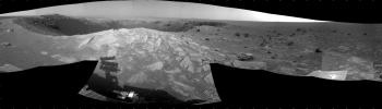
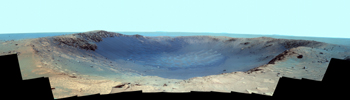
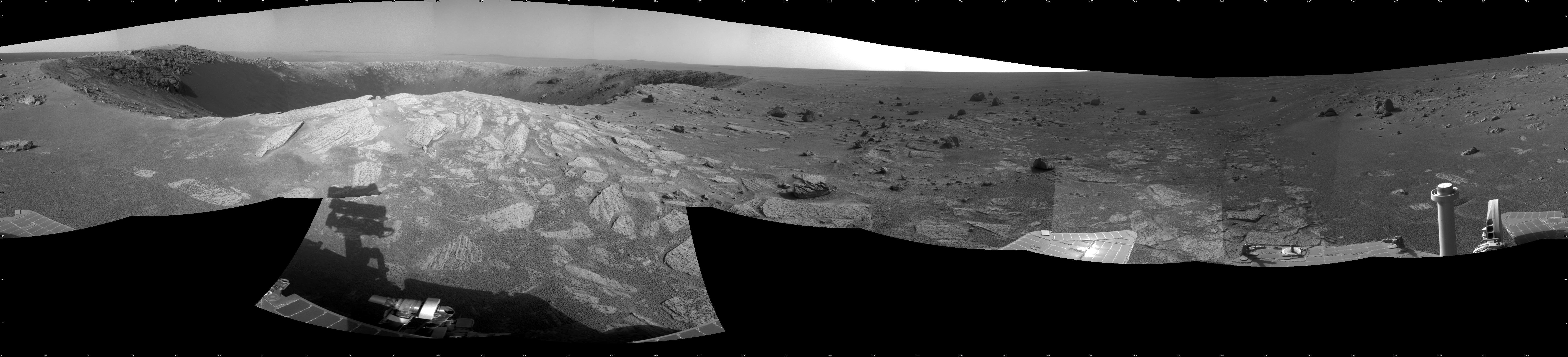
|
2011-01-20 |
Mars
|
Mars Exploration Rover (MER)
|
Panoramic Camera
|
14745x4000x3 |
|
-
PIA13794:
-
Color Panorama of 'Santa Maria' Crater for Opportunity's Anniversary
Full Resolution:
TIFF
(176.9 MB)
JPEG
(4.196 MB)
|
|
|
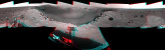
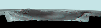
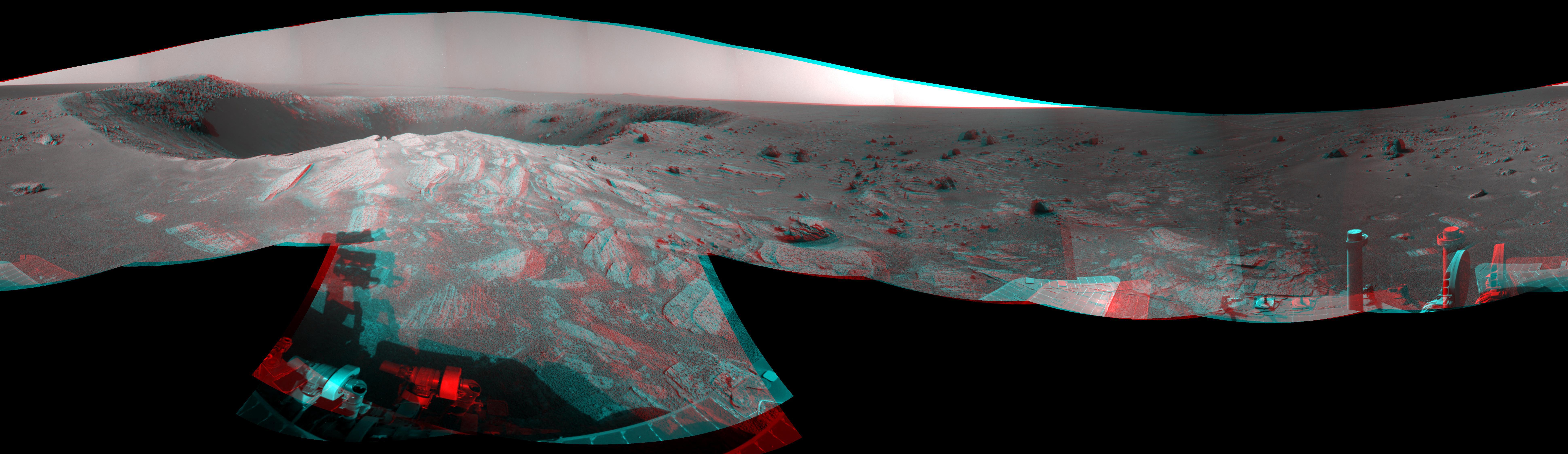
2011-01-20 |
Mars
|
Mars Exploration Rover (MER)
|
Panoramic Camera
|
14745x4000x3 |
|
-
PIA13795:
-
Panorama of 'Santa Maria' Crater for Opportunity's Anniversary (False Color)
Full Resolution:
TIFF
(176.9 MB)
JPEG
(5.587 MB)
|
|
|
2011-01-20 |
Mars
|
Mars Exploration Rover (MER)
|
Panoramic Camera
|
14745x4000x3 |
|
-
PIA13796:
-
Stereo Panorama of 'Santa Maria' Crater for Opportunity's Anniversary
Full Resolution:
TIFF
(176.9 MB)
JPEG
(3.45 MB)
|
|
|
2011-01-21 |
Mars
|
2001 Mars Odyssey
|
THEMIS
|
1324x2774x1 |
|
-
PIA13817:
-
Wind Erosion
Full Resolution:
TIFF
(3.677 MB)
JPEG
(436.1 kB)
|
|
|
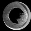
2011-01-21 |
Mars
|
Mars Reconnaissance Orbiter (MRO)
|
HiRISE
|
2560x1920x3 |
|
-
PIA13727:
-
Circular Feature in South Polar Residual Cap
Full Resolution:
TIFF
(14.76 MB)
JPEG
(937.3 kB)
|
|
|
2011-01-24 |
Mars
|
2001 Mars Odyssey
|
THEMIS
|
947x2773x1 |
|
-
PIA13813:
-
South Polar Layers
Full Resolution:
TIFF
(2.629 MB)
JPEG
(257.8 kB)
|
|
|
2011-01-25 |
Mars
|
2001 Mars Odyssey
|
THEMIS
|
1327x2772x1 |
|
-
PIA13814:
-
Wind Erosion
Full Resolution:
TIFF
(3.682 MB)
JPEG
(460.7 kB)
|
|
|
2011-01-26 |
Mars
|
2001 Mars Odyssey
|
THEMIS
|
1345x2767x1 |
|
-
PIA13818:
-
Volcanic Channels
Full Resolution:
TIFF
(3.726 MB)
JPEG
(365.5 kB)
|
|
|
2011-01-27 |
Mars
|
2001 Mars Odyssey
|
THEMIS
|
1371x2917x1 |
|
-
PIA13828:
-
Maumee Valles
Full Resolution:
TIFF
(4.004 MB)
JPEG
(376.8 kB)
|
|
|
2011-01-27 |
Mars
|
2001 Mars Odyssey
|
THEMIS
|
951x2781x1 |
|
-
PIA13826:
-
South Polar Layers
Full Resolution:
TIFF
(2.648 MB)
JPEG
(278.8 kB)
|
|
|
2011-01-31 |
Mars
|
2001 Mars Odyssey
|
THEMIS
|
1343x2767x1 |
|
-
PIA13830:
-
Linear Ridges
Full Resolution:
TIFF
(3.72 MB)
JPEG
(554.5 kB)
|
|
|
2011-02-02 |
Mars
|
2001 Mars Odyssey
|
THEMIS
|
1335x2819x1 |
|
-
PIA13832:
-
Dunes in Aonia Terra
Full Resolution:
TIFF
(3.767 MB)
JPEG
(276.1 kB)
|
|
|
2011-02-02 |
Mars
|
Mars Reconnaissance Orbiter (MRO)
|
HiRISE
|
2560x1920x3 |

|
-
PIA13728:
-
Thumbprint Texture on Dark Dunes in Rabe Crater
Full Resolution:
TIFF
(14.76 MB)
JPEG
(553.7 kB)
|
|
|
2011-02-02 |
Mars
|
2001 Mars Odyssey
|
THEMIS
|
1323x2813x1 |
|
-
PIA13835:
-
Kaiser Crater Dunes
Full Resolution:
TIFF
(3.726 MB)
JPEG
(199.5 kB)
|
|
|
2011-02-03 |
Mars
|
Mars Reconnaissance Orbiter (MRO)
|
HiRISE
|
934x1412x3 |
|
-
PIA13797:
-
Seasonal Changes in Northern Mars Dune Field
Full Resolution:
TIFF
(3.962 MB)
JPEG
(221.3 kB)
|
|
|
2011-02-04 |
Mars
|
2001 Mars Odyssey
|
THEMIS
|
1346x2768x1 |
|
-
PIA13837:
-
Bahram Vallis
Full Resolution:
TIFF
(3.73 MB)
JPEG
(310.9 kB)
|
|
|
2011-02-04 |
Mars
|
2001 Mars Odyssey
|
THEMIS
|
1324x2819x1 |

|
-
PIA13839:
-
Dune Fields in Aonia Planum and Aonia Terra
Full Resolution:
TIFF
(3.736 MB)
JPEG
(328.3 kB)
|
|
|
2011-02-07 |
Mars
|
2001 Mars Odyssey
|
THEMIS
|
462x1461x1 |
|
-
PIA13841:
-
South Polar Surface
Full Resolution:
TIFF
(675.9 kB)
JPEG
(197.9 kB)
|
|
|
2011-02-08 |
Mars
|
2001 Mars Odyssey
|
THEMIS
|
1342x2924x1 |
|
-
PIA13842:
-
Juventae Chasma
Full Resolution:
TIFF
(3.928 MB)
JPEG
(307 kB)
|
|
|
2011-02-09 |
Mars
|
2001 Mars Odyssey
|
THEMIS
|
1316x2774x1 |
|
-
PIA13846:
-
Windstreak on Daedalia Planum
Full Resolution:
TIFF
(3.655 MB)
JPEG
(613.6 kB)
|
|
|
2011-02-10 |
Mars
|
2001 Mars Odyssey
|
THEMIS
|
934x2768x1 |
|
-
PIA13848:
-
South Polar Surface
Full Resolution:
TIFF
(2.588 MB)
JPEG
(435.5 kB)
|
|
|
2011-02-11 |
Mars
|
2001 Mars Odyssey
|
THEMIS
|
995x2845x1 |

|
-
PIA13849:
-
Richardson Crater Dunes
Full Resolution:
TIFF
(2.834 MB)
JPEG
(234 kB)
|
|
|
2011-02-14 |
Mars
|
2001 Mars Odyssey
|
THEMIS
|
1319x2929x1 |

|
-
PIA13850:
-
Doublet Crater
Full Resolution:
TIFF
(3.867 MB)
JPEG
(318.2 kB)
|
|
|
2011-02-14 |
Mars
|
Mars Reconnaissance Orbiter (MRO)
|
CTX
|
377x487x3 |
|
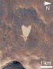
-
PIA13798:
-
Heart-Shaped Feature in Arabia Terra
Full Resolution:
TIFF
(185.6 kB)
JPEG
(41.39 kB)
|
|
|
2011-02-14 |
Mars
|
Mars Reconnaissance Orbiter (MRO)
|
CTX
|
420x487x3 |

|
-
PIA13799:
-
Heart-Shaped Feature in Arabia Terra (Wide View)
Full Resolution:
TIFF
(206.5 kB)
JPEG
(25.93 kB)
|
|
|
2011-02-15 |
Mars
|
2001 Mars Odyssey
|
THEMIS
|
1330x2774x1 |

|
-
PIA13854:
-
Channel in Arabia Terra
Full Resolution:
TIFF
(3.693 MB)
JPEG
(352.8 kB)
|
|
|
2011-02-17 |
Mars
|
2001 Mars Odyssey
|
THEMIS
|
1026x2900x1 |
|
-
PIA13865:
-
Pityusa Patera
Full Resolution:
TIFF
(2.979 MB)
JPEG
(361.2 kB)
|
|
|
2011-02-18 |
Mars
|
2001 Mars Odyssey
|
THEMIS
|
1352x2923x1 |
|
-
PIA13876:
-
Wind and Rock
Full Resolution:
TIFF
(3.956 MB)
JPEG
(549.5 kB)
|
|
|
2011-02-18 |
Mars
|
2001 Mars Odyssey
|
THEMIS
|
1325x2774x1 |
|
-
PIA13877:
-
Delta in Terra Cimmeria
Full Resolution:
TIFF
(3.679 MB)
JPEG
(403.9 kB)
|
|
|
2011-02-21 |
Mars
|
2001 Mars Odyssey
|
THEMIS
|
1363x2918x1 |
|
-
PIA13878:
-
Inner Lycus Sulci
Full Resolution:
TIFF
(3.981 MB)
JPEG
(575.7 kB)
|
|
|
2011-02-22 |
Mars
|
2001 Mars Odyssey
|
THEMIS
|
1305x2780x1 |
|
-
PIA13879:
-
Windstreaks
Full Resolution:
TIFF
(3.632 MB)
JPEG
(420.9 kB)
|
|
|
2011-02-23 |
Mars
|
2001 Mars Odyssey
|
THEMIS
|
1324x2773x1 |
|
-
PIA13880:
-
Channels on Terra Cimmeria
Full Resolution:
TIFF
(3.675 MB)
JPEG
(424.3 kB)
|
|
|
2011-02-24 |
Mars
|
2001 Mars Odyssey
|
THEMIS
|
1331x2768x1 |
|
-
PIA13881:
-
Tharsis Features
Full Resolution:
TIFF
(3.688 MB)
JPEG
(403.5 kB)
|
|
|
2011-02-25 |
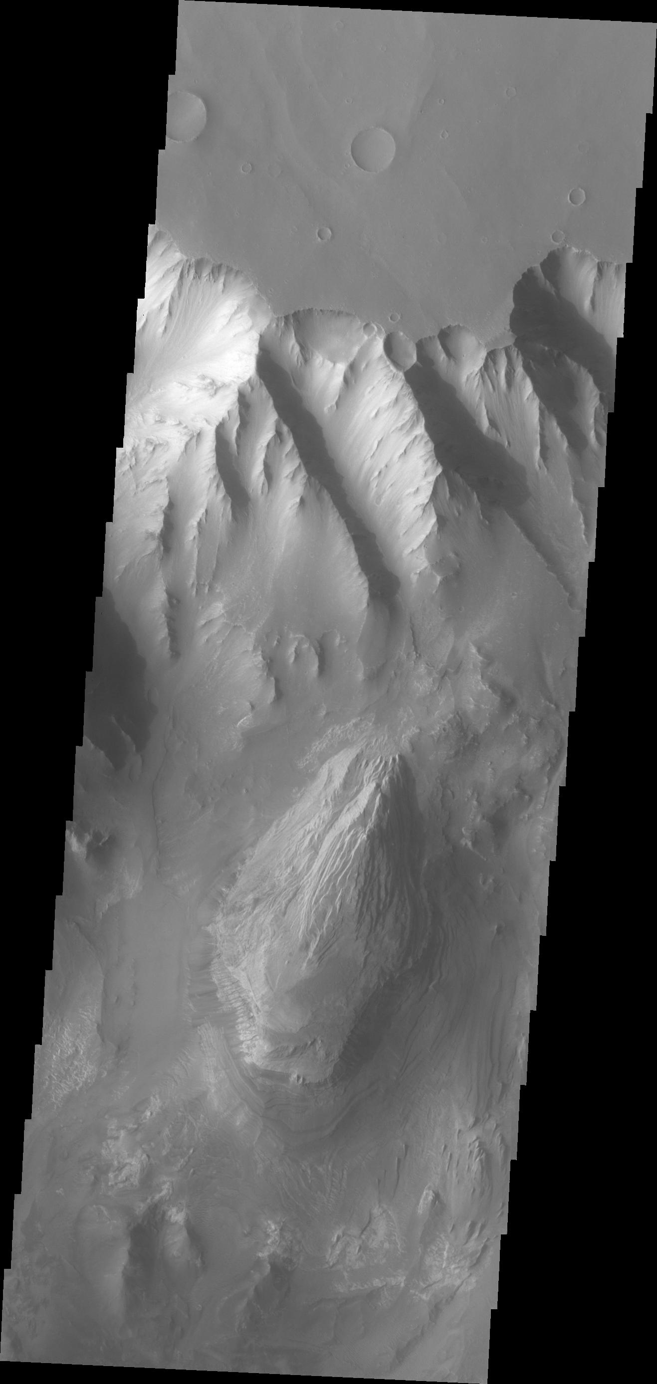
Mars
|
2001 Mars Odyssey
|
THEMIS
|
1323x2934x1 |
|
-
PIA13883:
-
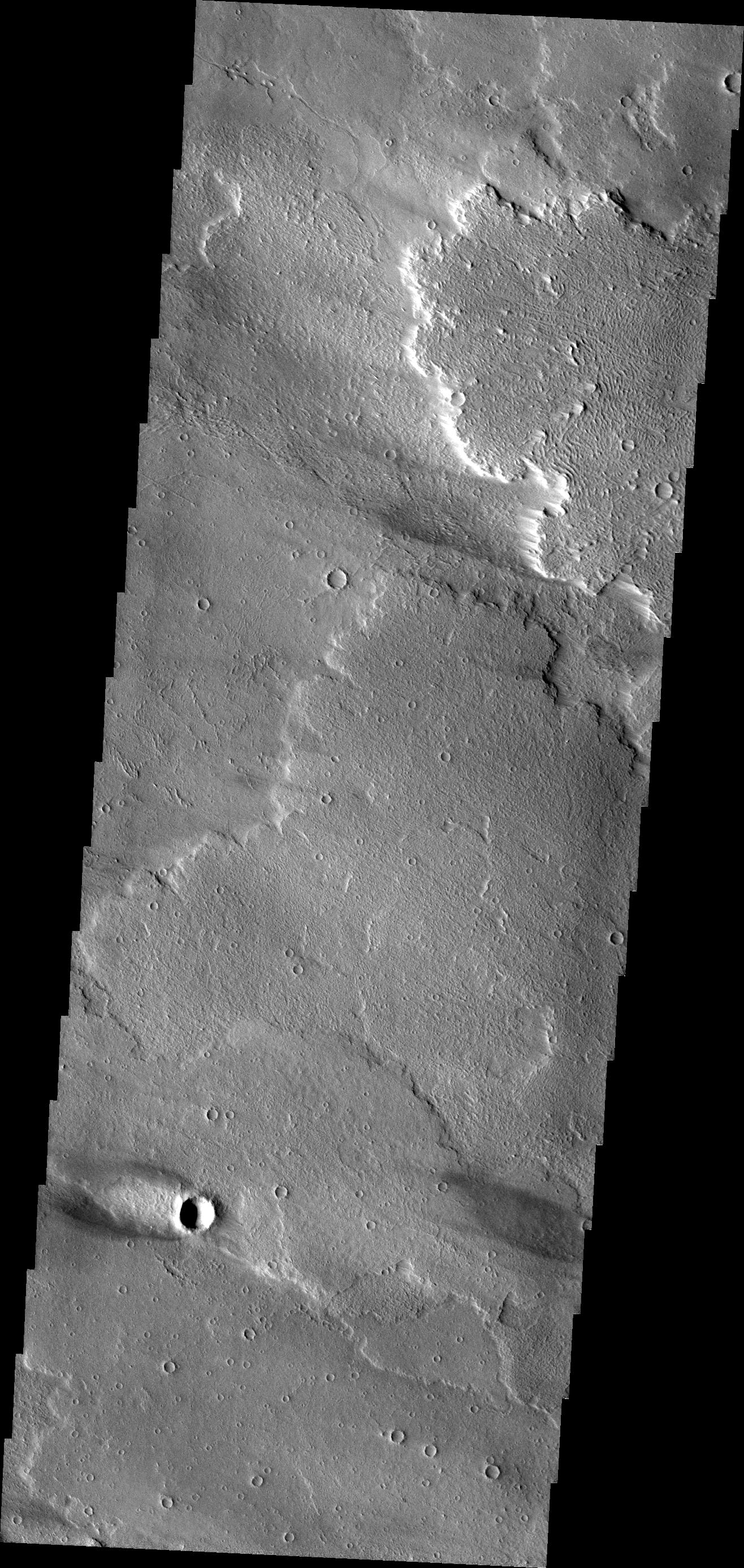
Landslide in Margaritifer Terra
Full Resolution:
TIFF
(3.886 MB)
JPEG
(300 kB)
|
|
|
2011-02-28 |
Mars
|
2001 Mars Odyssey
|
THEMIS
|
1353x2925x1 |
|
-
PIA13884:
-
Juventae Chasma
Full Resolution:
TIFF
(3.962 MB)
JPEG
(336.5 kB)
|
|
|
2011-03-01 |
Mars
|
2001 Mars Odyssey
|
THEMIS
|
1342x2770x1 |
|
-
PIA13886:
-
Crater Ejecta
Full Resolution:
TIFF
(3.721 MB)
JPEG
(479 kB)
|
|
|
2011-03-02 |
Mars
|
2001 Mars Odyssey
|
THEMIS
|
1327x2980x1 |
|
-
PIA13887:
-
Russell Crater Dunes
Full Resolution:
TIFF
(3.959 MB)
JPEG
(321.3 kB)
|
|
|
2011-03-03 |
Mars
|
2001 Mars Odyssey
|
THEMIS
|
1323x2771x1 |
|
-
PIA13889:
-
Tharsis Features
Full Resolution:
TIFF
(3.67 MB)
JPEG
(517.5 kB)
|
|
|
2011-03-04 |
Mars
|
2001 Mars Odyssey
|
THEMIS
|
939x2778x1 |
|
-
PIA13903:
-
South Polar Layers
Full Resolution:
TIFF
(2.612 MB)
JPEG
(332.6 kB)
|
|
|
2011-03-07 |
Mars
|
2001 Mars Odyssey
|
THEMIS
|
926x2772x1 |

|
-
PIA13906:
-
South Polar Surface
Full Resolution:
TIFF
(2.57 MB)
JPEG
(387 kB)
|
|
|
2011-03-08 |
Mars
|
Mars Reconnaissance Orbiter (MRO)
|
CRISM
HiRISE
|
995x599x3 |
|
-
PIA13800:
-
Fractures in Carbonate-Bearing Rocks at Mars' Huygens Basin
Full Resolution:
TIFF
(1.791 MB)
JPEG
(139 kB)
|
|
|
2011-03-08 |
Mars
|
2001 Mars Odyssey
Mars Global Surveyor (MGS)
|
MOLA
THEMIS
|
708x605x3 |
|
-
PIA13801:
-
Nature's Drilling Exposes Deeply Buried Minerals
Full Resolution:
TIFF
(1.287 MB)
JPEG
(85.93 kB)
|
|
|
2011-03-09 |
Mars
|
Mars Exploration Rover (MER)
Mars Reconnaissance Orbiter (MRO)
|
HiRISE
|
2254x1522x3 |
|
-
PIA13803:
-
Opportunity is Still Smiling
Full Resolution:
TIFF
(10.3 MB)
JPEG
(1.155 MB)
|
|
|
2011-03-09 |
Mars
|
Mars Reconnaissance Orbiter (MRO)
|
HiRISE
|
2560x1920x3 |
|
-
PIA13802:
-
True Gullies on Mars
Full Resolution:
TIFF
(14.76 MB)
JPEG
(1.255 MB)
|
|
|
2011-03-09 |
Mars
|
2001 Mars Odyssey
|
THEMIS
|
1330x2773x1 |
|
-
PIA13907:
-
Wind and Rock
Full Resolution:
TIFF
(3.692 MB)
JPEG
(626.7 kB)
|
|
|
2011-03-10 |
Mars
|
Phoenix
|
Surface Stereo Imager (SSI)
|
26180x6180x3 |
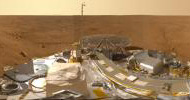
|
-
PIA13804:
-
Mars Panorama of Phoenix Landing Site and Lander Deck
Full Resolution:
TIFF
(485.4 MB)
JPEG
(14.63 MB)
|
|
|
2011-03-10 |
Mars
|
2001 Mars Odyssey
|
THEMIS
|
1333x2921x1 |
|
-
PIA13909:
-
Channel in Terra Cimmeria
Full Resolution:
TIFF
(3.898 MB)
JPEG
(383.5 kB)
|
|
|
2011-03-11 |
Mars
|
2001 Mars Odyssey
|
THEMIS
|
1301x2817x1 |
|
-
PIA13916:
-
Proctor Crater Dunes
Full Resolution:
TIFF
(3.669 MB)
JPEG
(286.4 kB)
|
|
|
2011-03-14 |
Mars
|
2001 Mars Odyssey
|
THEMIS
|
924x2769x1 |
|
-
PIA13917:
-
South Polar Surface
Full Resolution:
TIFF
(2.562 MB)
JPEG
(654.2 kB)
|
|
|
2011-03-15 |
Mars
|
2001 Mars Odyssey
|
THEMIS
|
1329x2829x1 |
|
-
PIA13918:
-
Russell Crater Dunes
Full Resolution:
TIFF
(3.764 MB)
JPEG
(308 kB)
|
|
|
2011-03-16 |
Mars
|
2001 Mars Odyssey
|
THEMIS
|
1315x2787x1 |
|
-
PIA13919:
-
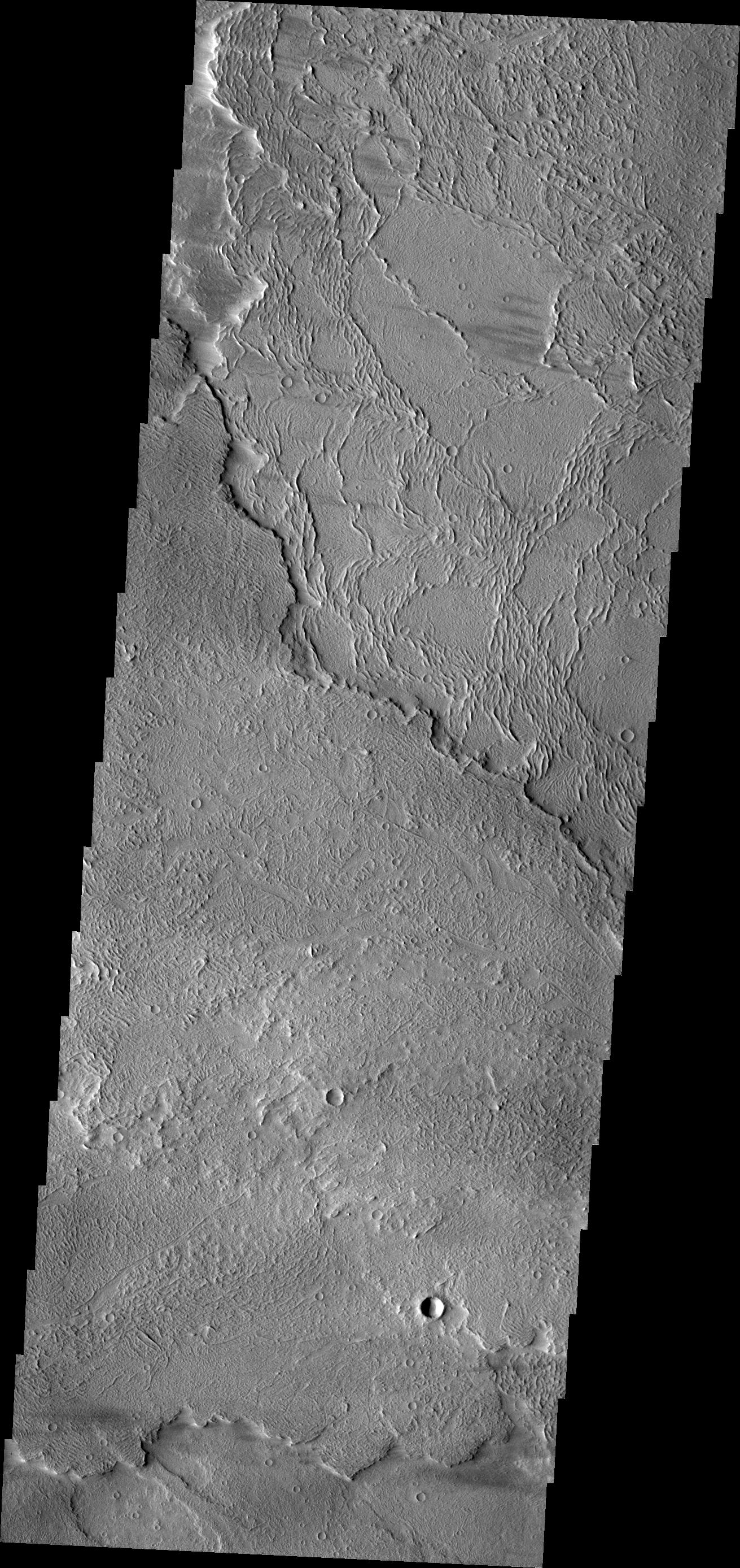
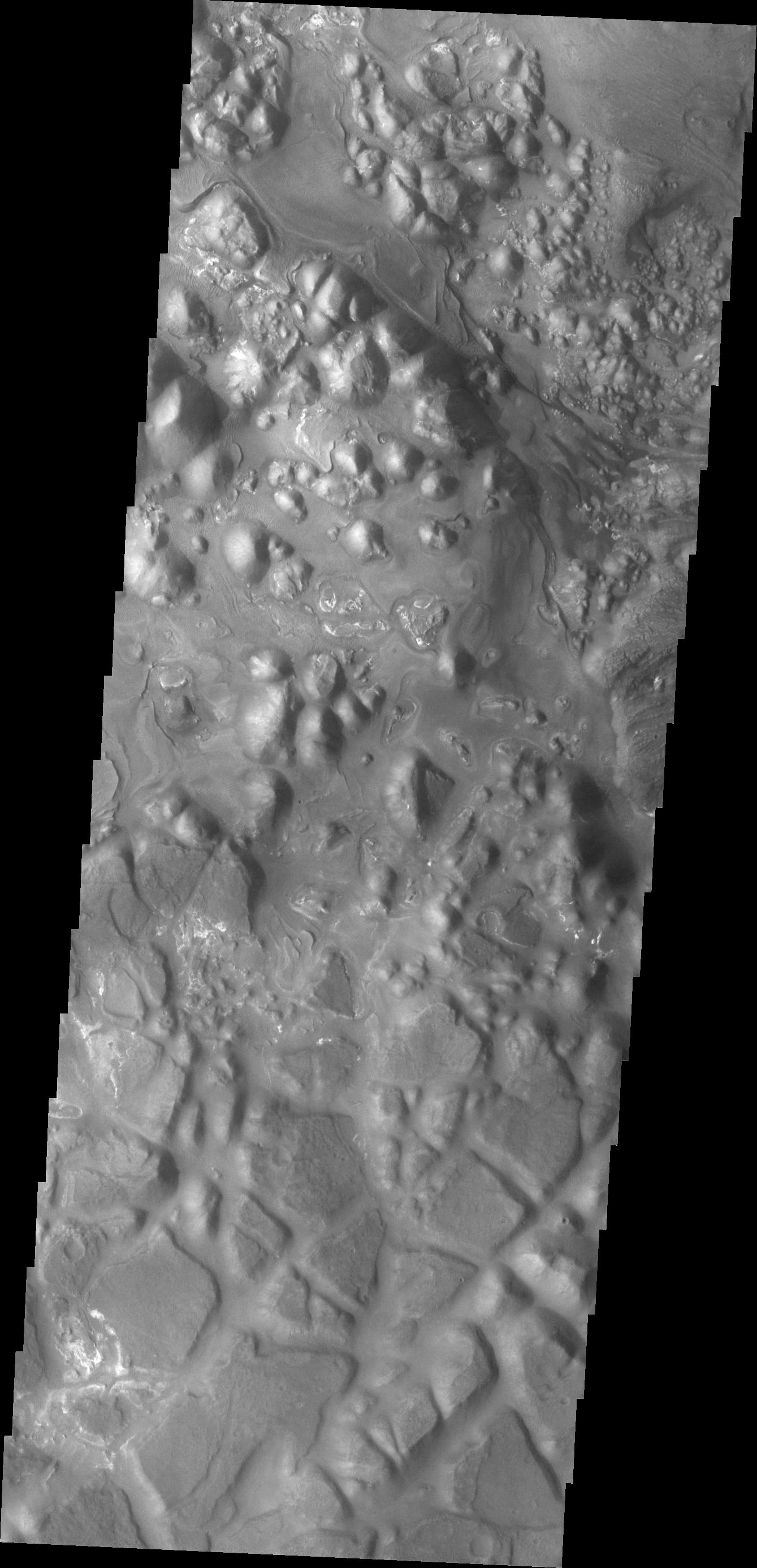
Tectonic Collapse
Full Resolution:
TIFF
(3.669 MB)
JPEG
(326.4 kB)
|
|
|
2011-03-18 |
Mars
|
2001 Mars Odyssey
|
THEMIS
|
1332x2769x1 |
|
-
PIA13938:
-
Olympus Mons Flows
Full Resolution:
TIFF
(3.692 MB)
JPEG
(681.5 kB)
|
|
|
2011-03-21 |
Mars
|
2001 Mars Odyssey
|
THEMIS
|
1307x2927x1 |
|
-
PIA13939:
-
Mega Gully
Full Resolution:
TIFF
(3.83 MB)
JPEG
(186.4 kB)
|
|
|
2011-03-22 |
Mars
|
2001 Mars Odyssey
|
THEMIS
|
1322x2773x1 |

|
-
PIA13940:
-
Channel
Full Resolution:
TIFF
(3.67 MB)
JPEG
(432.8 kB)
|
|
|
2011-03-23 |
Mars
|
2001 Mars Odyssey
|
THEMIS
|
1325x2774x1 |

|
-
PIA13941:
-
Wind Texture
Full Resolution:
TIFF
(3.679 MB)
JPEG
(560.4 kB)
|
|
|
2011-03-24 |
Mars
|
2001 Mars Odyssey
|
THEMIS
|
940x2772x1 |
|
-
PIA13944:
-
V40448004
Full Resolution:
TIFF
(2.609 MB)
JPEG
(475.7 kB)
|
|
|
2011-03-25 |
Mars
|
2001 Mars Odyssey
|
THEMIS
|
939x2771x1 |
|
-
PIA13946:
-
South Polar Surface
Full Resolution:
TIFF
(2.605 MB)
JPEG
(586.8 kB)
|


