Your search criteria found
12723
images
Target is Mars
Go to PIAxxxxx:
Refine this list of images by:
Target:
Mars
Sun
Titan
Vesta
Mission:
2001 Mars Odyssey
Antarctic Meteorite Location and Mapping Project (AMLAMP)
Cassini-Huygens
Dawn
ExoMars
Hubble Space Telescope
InSight
MAVEN
Mariner Mars 1964 (Mariner 4)
Mariner Mars 1969 (Mariner 7)
Mariner Mars 1971 (Mariner 9)
Mars 2020
Mars 2020 Rover
Mars Atmosphere and Volatile Evolution MissioN (MAVEN)
Mars Climate Orbiter
Mars Cube One (MarCO)
Mars Exploration Rover (MER)
Mars Express (MEX)
Mars Global Surveyor (MGS)
Mars Helicopter
Mars Pathfinder (MPF)
Mars Reconnaissance Orbiter (MRO)
Mars Sample Return
Mars Sample Return (MSR)
Mars Science Laboratory (MSL)
Phoenix
Rosetta
Viking
Spacecraft:
2001 Mars Odyssey
Curiosity
Dawn
InSight Mars Lander
Ingenuity
MAVEN
MarCO-B
Mariner 4
Mariner 7
Mariner 9
Mars Climate Orbiter
Mars Express (MEX)
Mars Express (MEX) Orbiter
Mars Global Surveyor Orbiter
Mars Pathfinder Lander
Mars Pathfinder Rover
Mars Reconnaissance Orbiter (MRO)
Mars Sample Return
Mars Science Laboratory (MSL)
NASA's Mars Pathfinder Lander
Opportunity
Perseverance
Philae Lander
Phoenix Lander
Phoenix Mars Lander
Spirit
Viking Lander 1
Viking Lander 2
Viking Orbiter 1
Viking Orbiter 2
Instrument:
Alpha Particle X-ray Spectrometer
Alpha Particle X-ray Spectrometer (MSL)
Atmospheric Structure / Meteorology Instrument
CHIMRA
Camera 1
Camera 2
Chemistry & Mineralogy (CheMin)
Chemistry and Camera (ChemCam)
Comet Infrared and Visible Analyser (CIVA
Compact Reconnaissance Imaging Spectrometer for Mars (CRISM)
Context Camera (CTX)
Deep Space Network
Descent Image Motion Estimation System (DIMES)
Dynamic Albedo of Neutrons
Dynamic Albedo of Neutrons (DAN)
Gamma Ray Spectrometer - Neutron Spectrometer
Gamma Ray Spectrometer Suite
Hazard Avoidance Camera
Hazard Avoidance Camera (M2020)
Hazard Avoidance Camera (MSL)
Heat and Physical Properties Package (HP3)
High Resolution Imaging Science Experiment (HiRISE)
High Resolution Instrument (HRI)
High Resolution Stereo Camera
Imager for Mars Pathfinder
Imaging Science Subsystem
Imaging Ultraviolet Spectrograph
Imaging Ultraviolet Spectrograph (IUVS)
Instrument Context Camera (ICC)
Instrument Deployment Camera (IDC)
Lander Vision System Camera (LCAM)
Magnetometer
Mars Advanced Radar for Subsurface and Ionosphere Sounding (MARSIS)
Mars Advanced Radar for Subsurface and Ionospheric Sounding (MARSIS)
Mars Climate Sounder (MCS)
Mars Color Imager (MARCI)
Mars Descent Imager
Mars Environmental Dynamics Analyzer (MEDA)
Mars Hand Lens Imager (MAHLI)
Mars Horizon Sensor Assembly
Mars Orbiter Camera (MOC)
Mars Orbiter Laser Altimeter
Mars Radiation Experiment
Mastcam
Mastcam-Z
Microscopic Imager
Microscopy Electrochemistry and Conductivity Analyzer (MECA)
Miniature Thermal Emission Spectrometer
Moessbauer Spectrometer
Navigation Camera
Navigation Camera (M2020)
Navigation Camera (MSL)
Neutral Gas and Ion Mass Spectrometer
Neutron Spectrometer
Optical Microscope
Panoramic Camera
Planetary Instrument for X-ray Lithochemistry (PIXL)
Radar System
Radiation Assessment Detector (RAD)
Radio Science Subsystem
Robotic Arm
Robotic Arm (MSL)
Robotic Arm Camera (RAC)
Rock Abrasion Tool (RAT)
Rover Cameras
Rover Environmental Monitoring Station (REMS)
Sample Analysis at Mars (SAM)
Scanning Habitable Environments with Raman & Luminescence for Organics and Chemicals (SHERLOC)
Seismic Experiment for Interior Structure (SEIS)
Shallow Subsurface Radar (SHARAD)
Stereo Imager (SSI)
SuperCam
Surface Stereo Imager (SSI)
Thermal Emission Imaging System
Thermal Emission Spectrometer
Thermal and Electrical Conductivity Probe
Thermal and Evolved Gas Analyzer
Trace Gas Orbiter
Visual Imaging Subsystem
Visual Imaging Subsystem - Camera A
Visual Imaging Subsystem - Camera B
Wide Field Planetary Camera 2
Click on an image for detailed information
Click on a column heading to sort in ascending or descending order
My
List
Addition Date
Target
Mission
Instrument
Size
2007-06-04
Mars
2001 Mars Odyssey
THEMIS
1132x3028x1
PIA09307:
Storm Season
Full Resolution:
TIFF
(3.431 MB)
JPEG
(497 kB)
2007-06-05
Mars
2001 Mars Odyssey
THEMIS
1351x2964x1
PIA09308:
Channels Galore
Full Resolution:
TIFF
(4.009 MB)
JPEG
(519.8 kB)
2007-06-06
Mars
2001 Mars Odyssey
THEMIS
1364x2929x1
PIA09309:
Candor Chasma Floor
Full Resolution:
TIFF
(3.999 MB)
JPEG
(400.2 kB)
2007-06-07
Mars
2001 Mars Odyssey
THEMIS
1360x2934x1
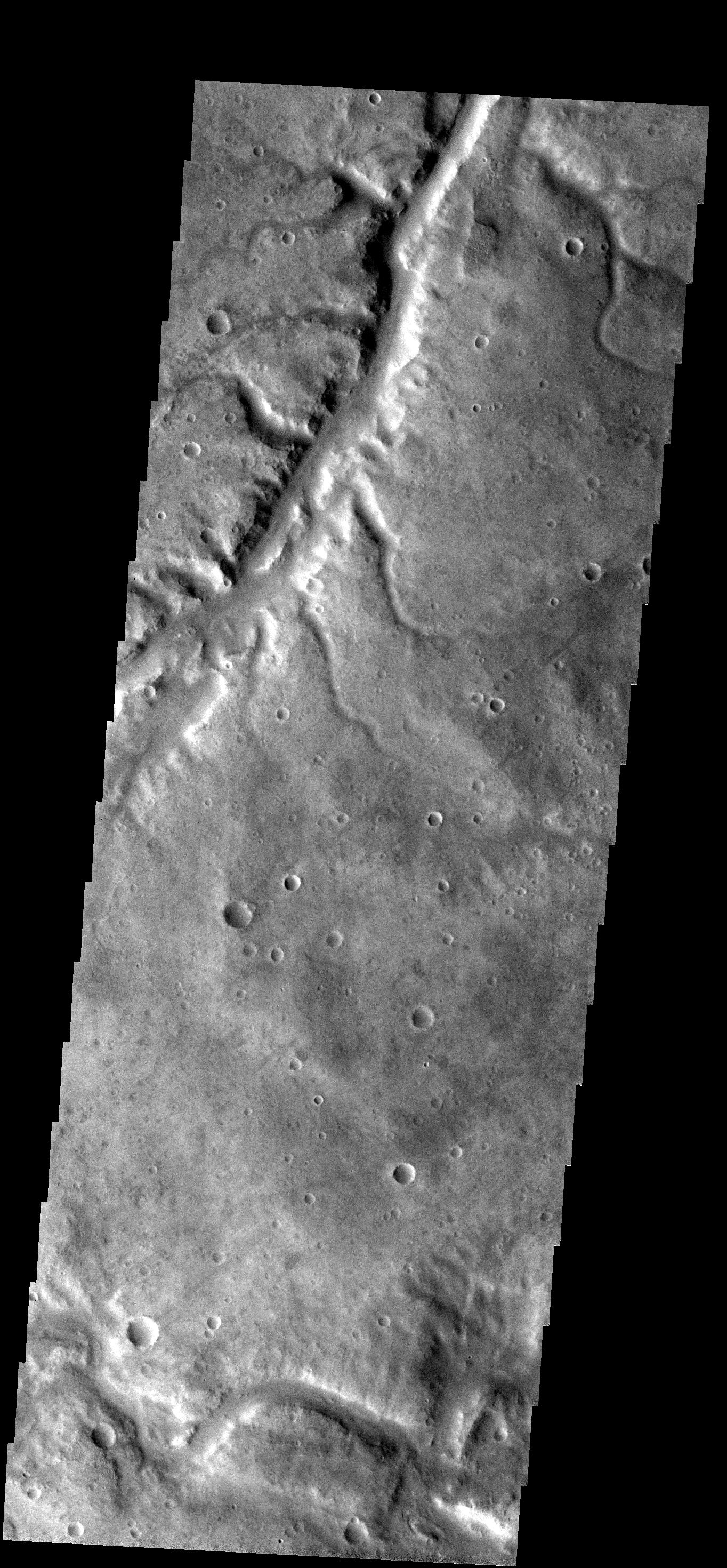
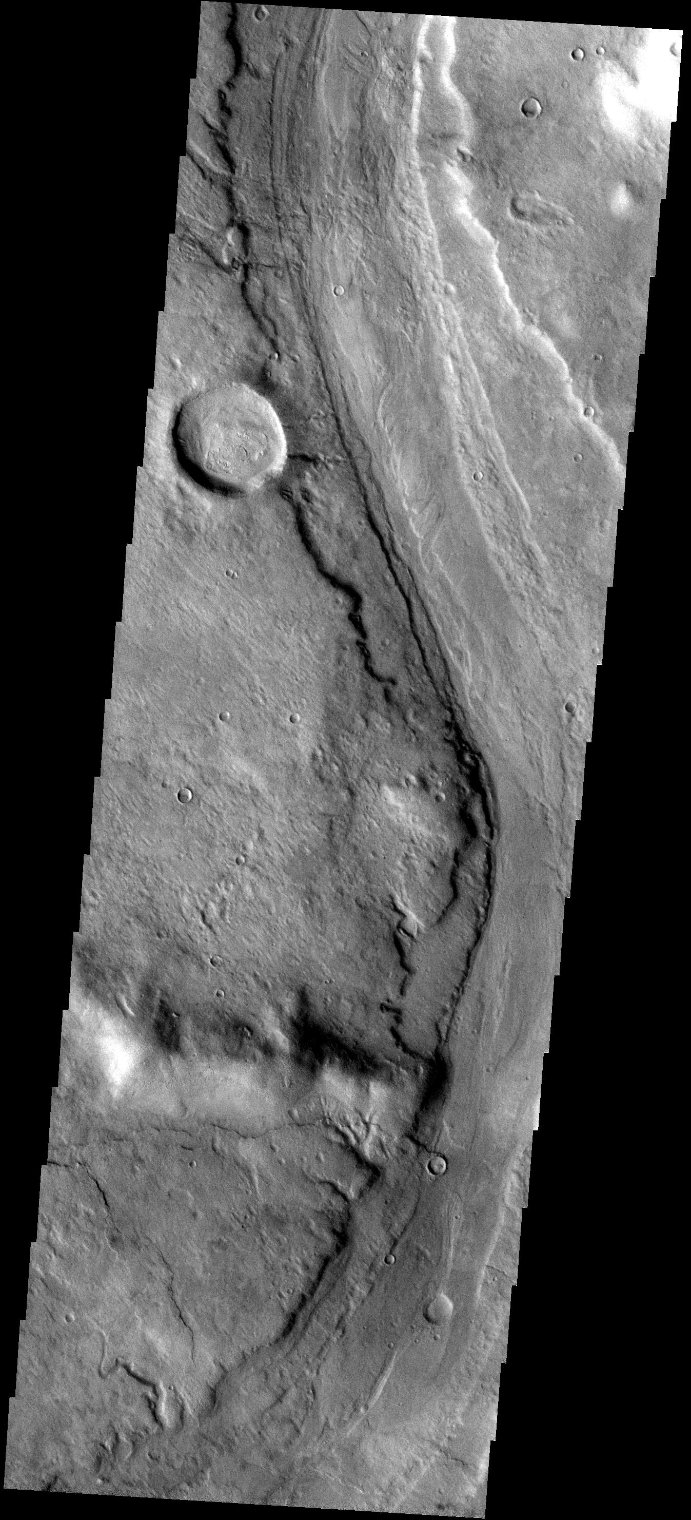
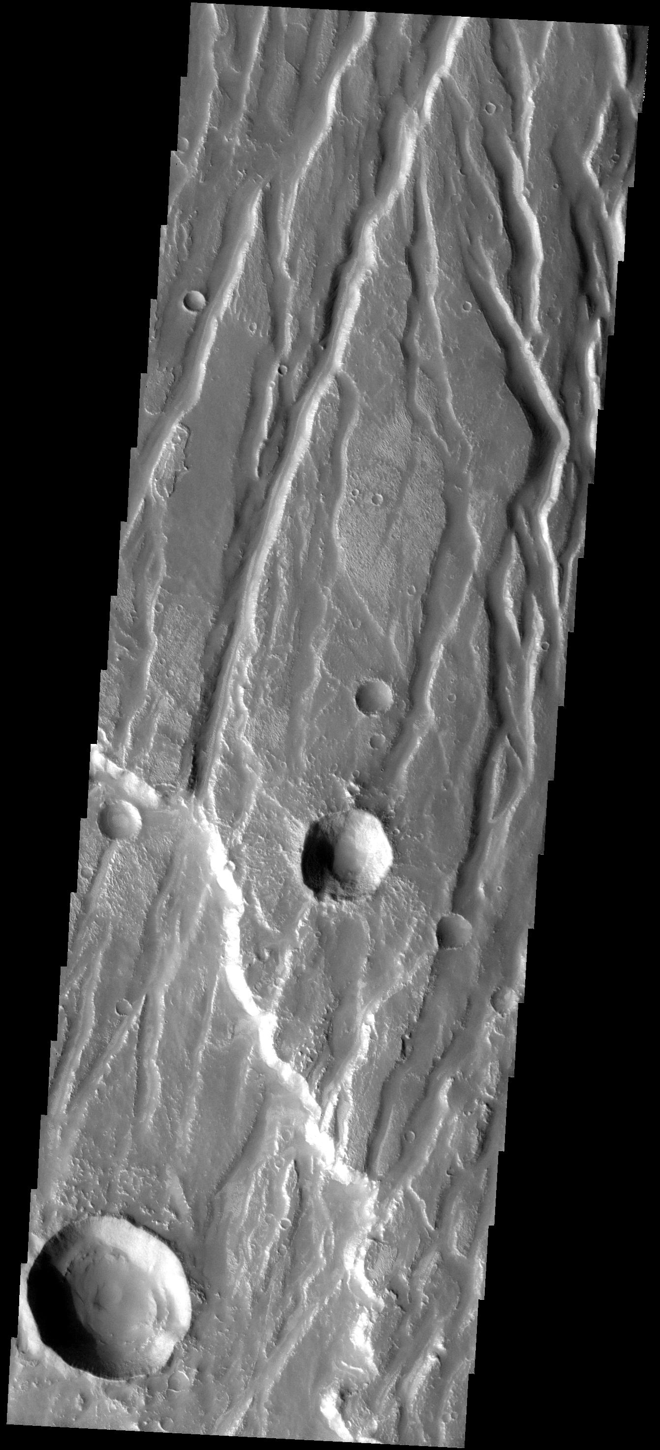
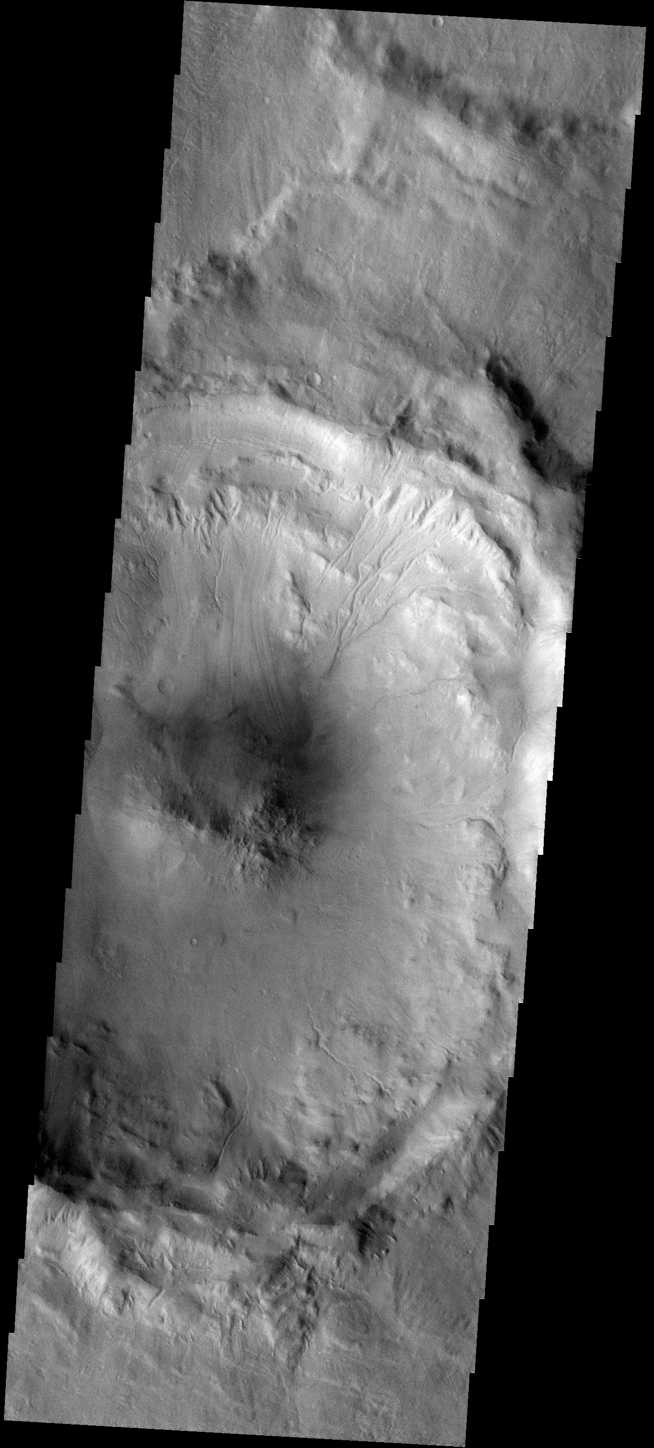
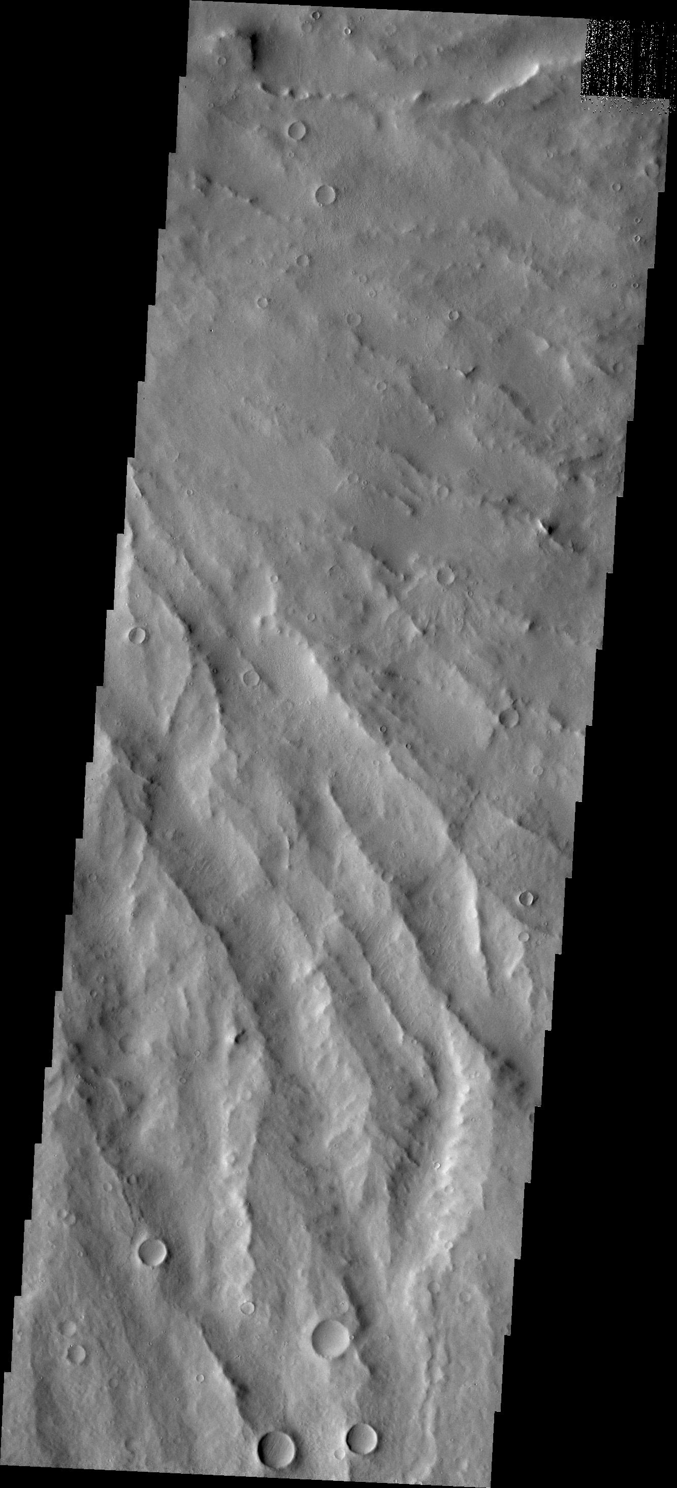
PIA09310:
Mangala Vallis
Full Resolution:
TIFF
(3.994 MB)
JPEG
(464.5 kB)
2007-06-08
Mars
2001 Mars Odyssey
THEMIS
1356x2933x1
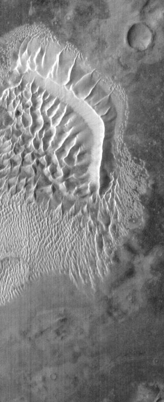
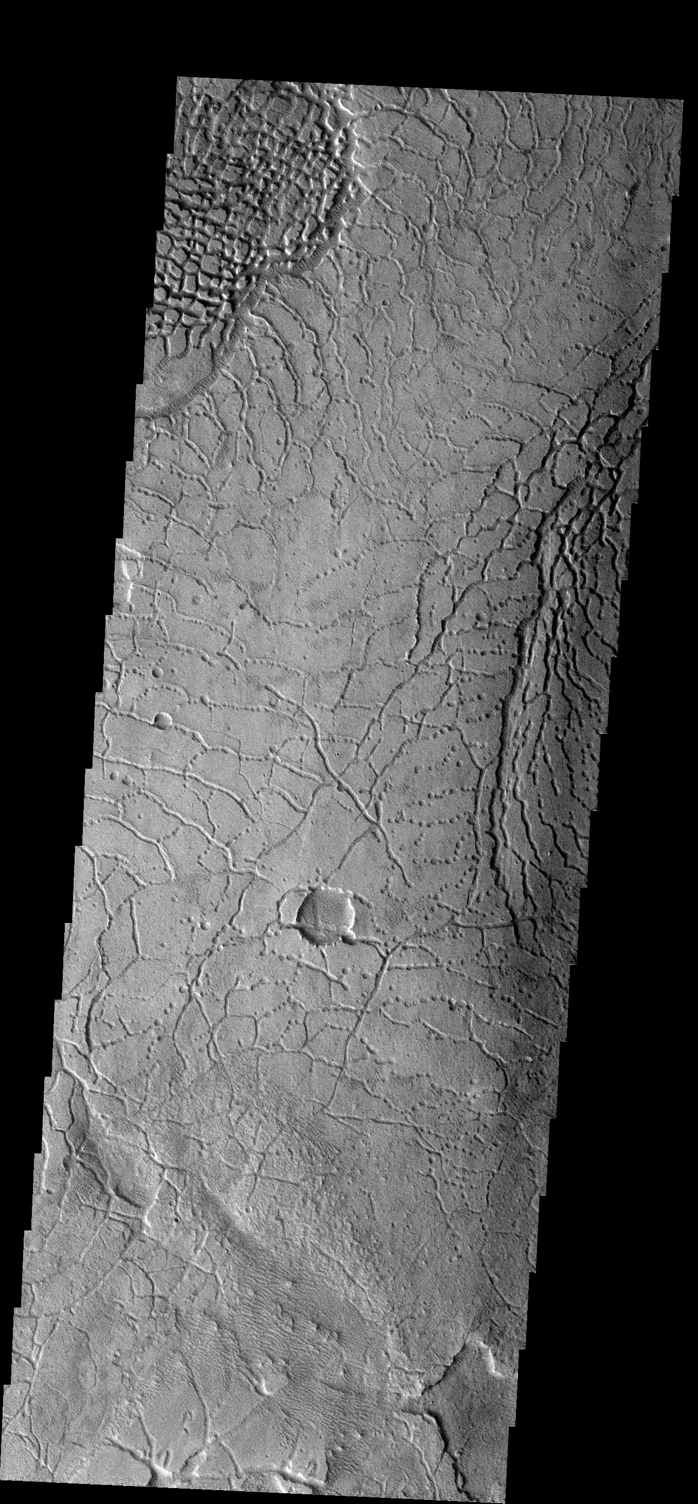
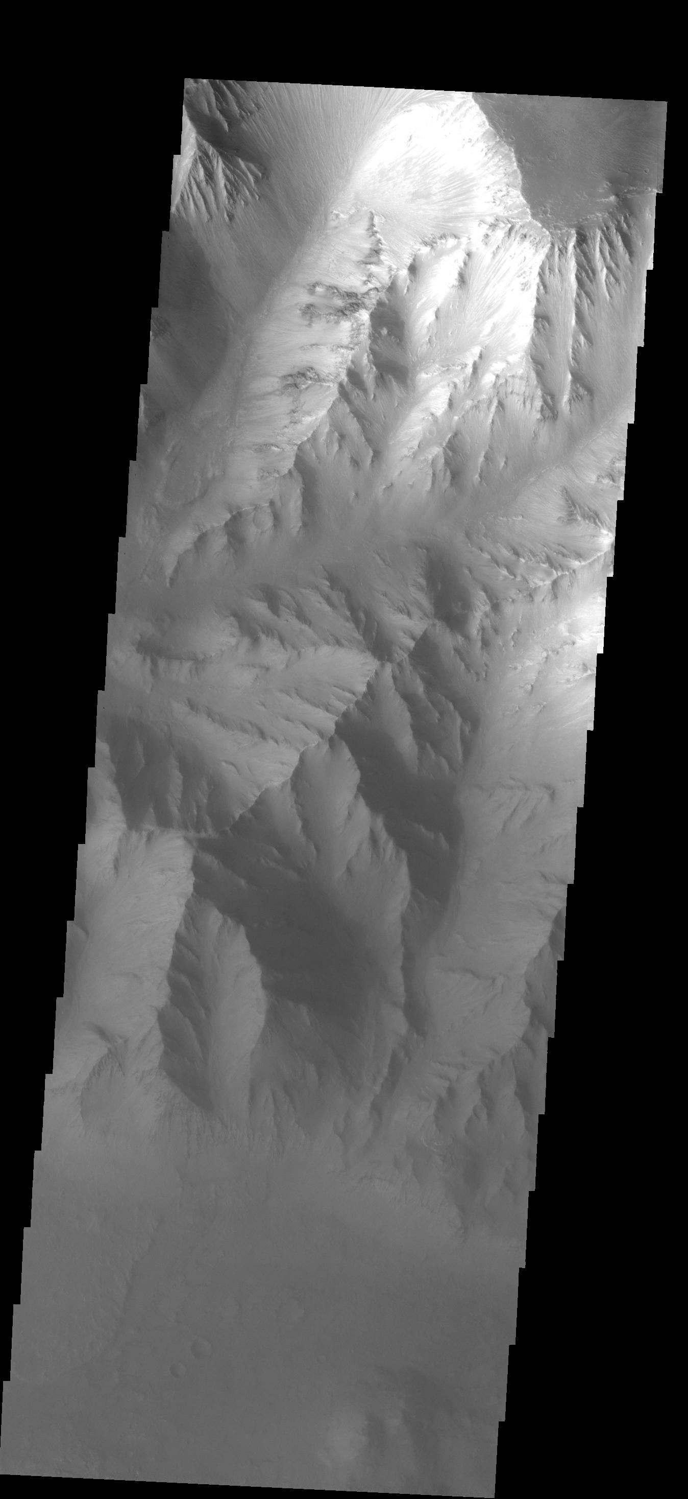
PIA09311:
Landslide
Full Resolution:
TIFF
(3.981 MB)
JPEG
(342.2 kB)
2007-06-11
Mars
Mars Reconnaissance Orbiter (MRO)
CRISM
1427x883x3
PIA09934:
CRISM Mulitspectral Map of Eastern Candor Chasma
Full Resolution:
TIFF
(3.787 MB)
JPEG
(269.7 kB)
2007-06-11
Mars
2001 Mars Odyssey
THEMIS
1360x2931x1
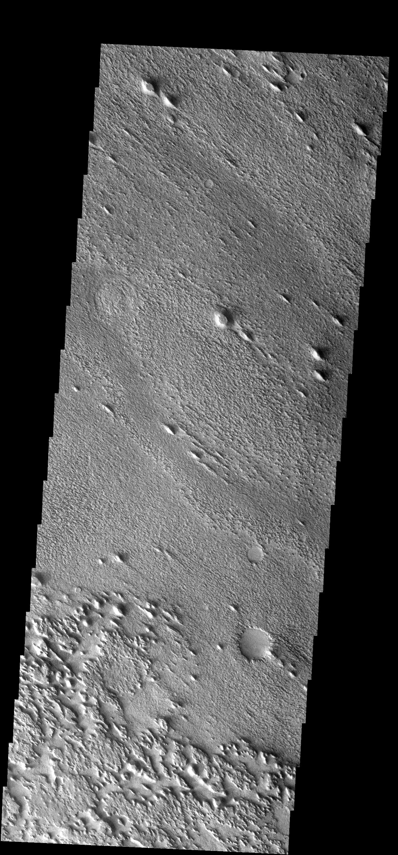
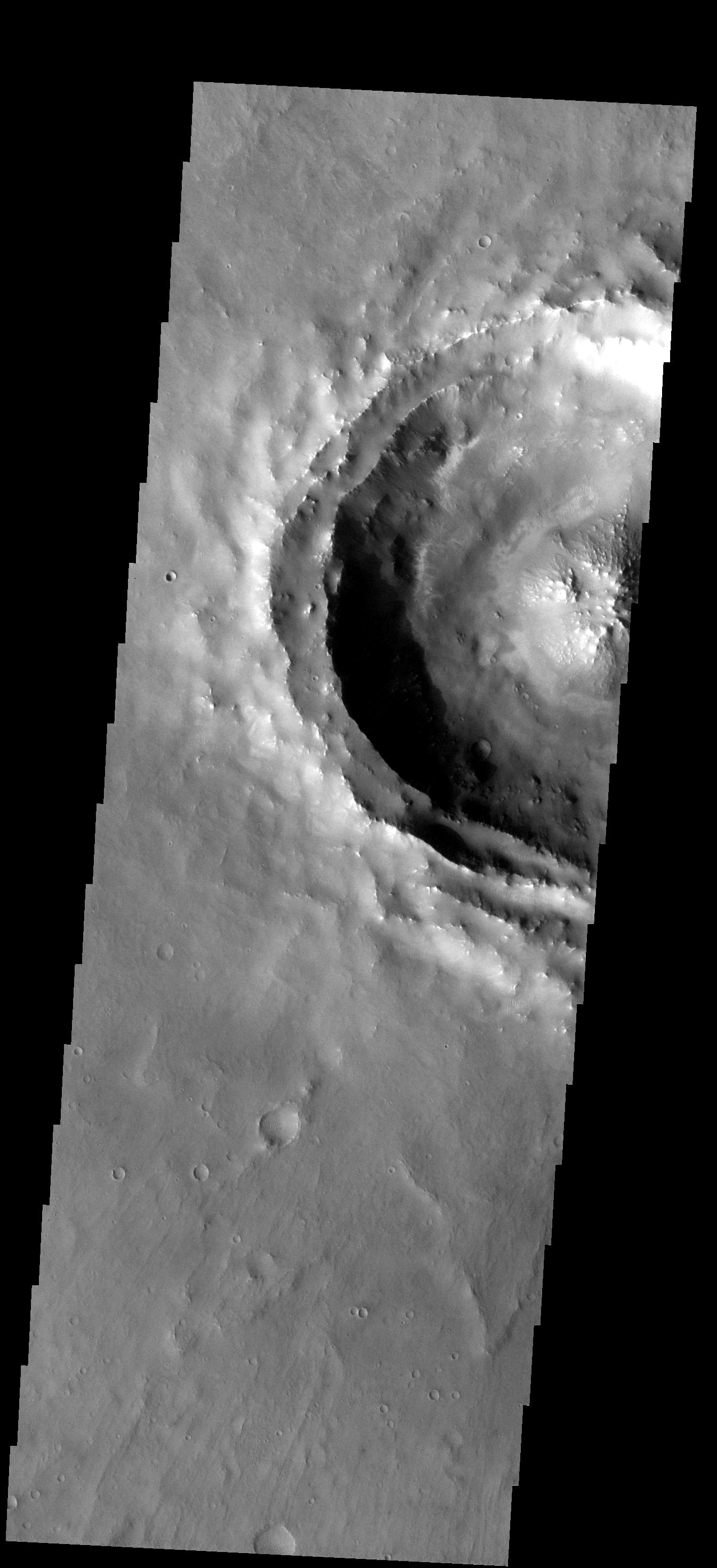
PIA09312:
Downhill Run
Full Resolution:
TIFF
(3.99 MB)
JPEG
(238.7 kB)
2007-06-12
Mars
2001 Mars Odyssey
THEMIS
320x3600x1
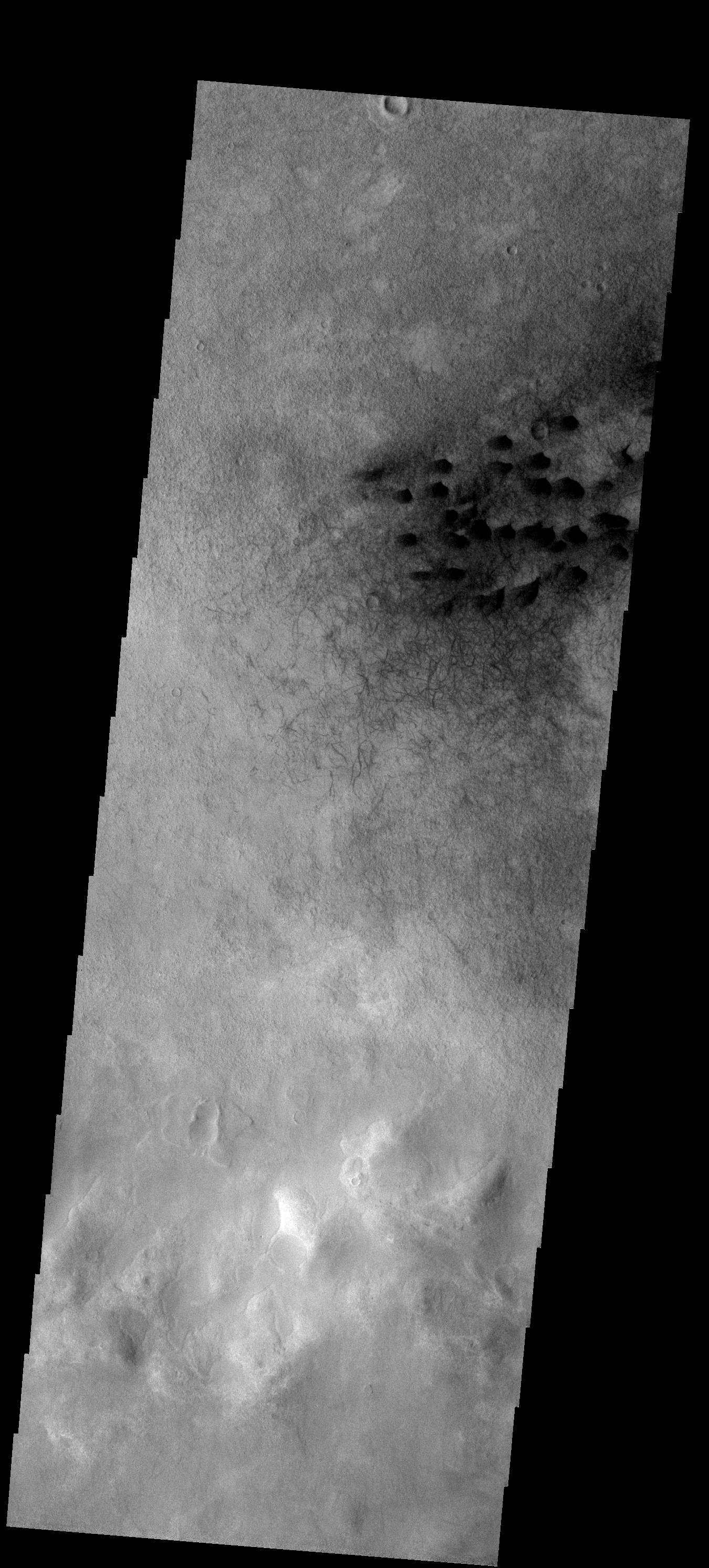
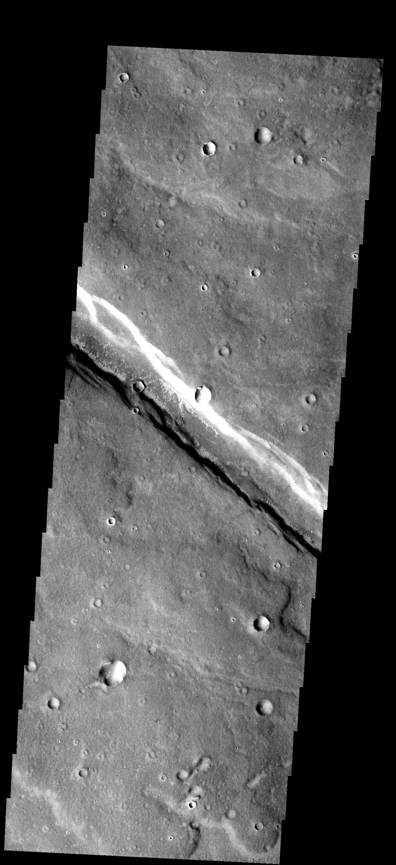
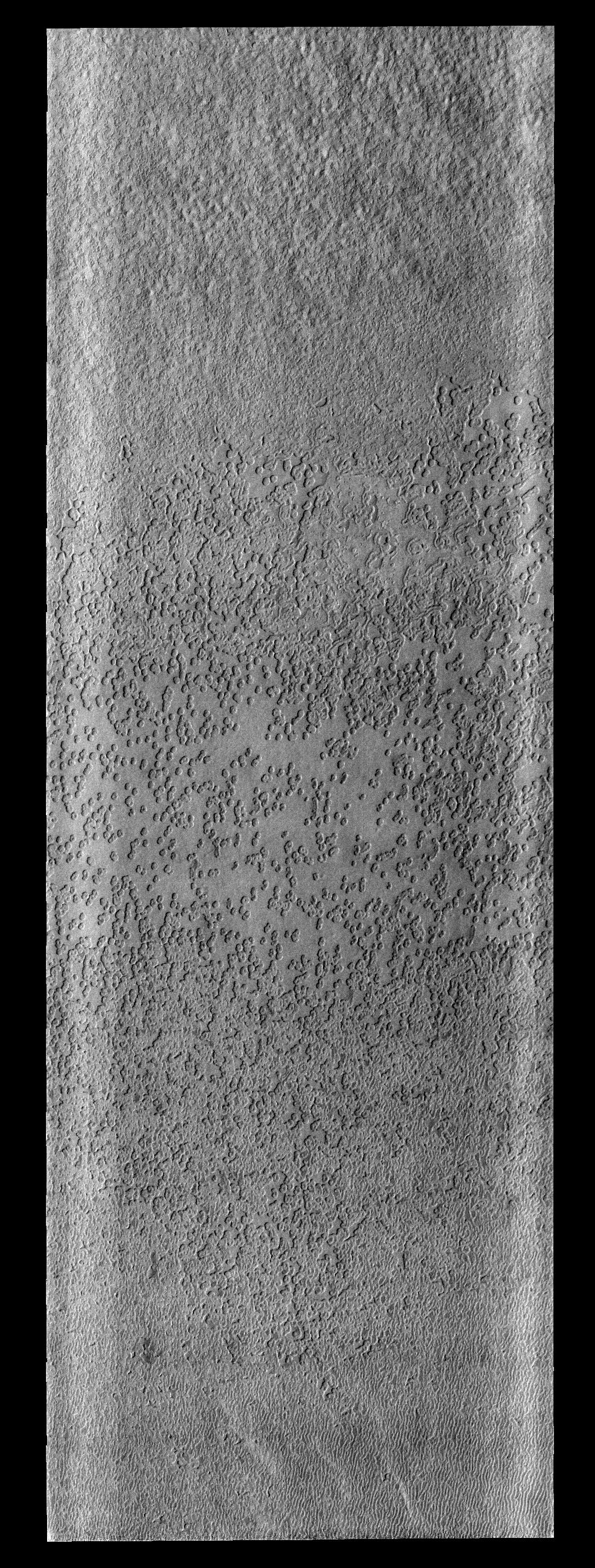
PIA09313:
Warm Sand
Full Resolution:
TIFF
(1.153 MB)
JPEG
(239 kB)
2007-06-13
Mars
2001 Mars Odyssey
THEMIS
320x3600x1
PIA09314:
Dual Winds
Full Resolution:
TIFF
(1.153 MB)
JPEG
(225.7 kB)
2007-06-14
Mars
2001 Mars Odyssey
THEMIS
320x3600x1
PIA09315:
Landslides in IR
Full Resolution:
TIFF
(1.153 MB)
JPEG
(180.4 kB)
2007-06-15
Mars
2001 Mars Odyssey
THEMIS
320x784x1
PIA09316:
Russell Crater - IR
Full Resolution:
TIFF
(251.4 kB)
JPEG
(43.25 kB)
2007-06-18
Mars
2001 Mars Odyssey
1400x2983x1
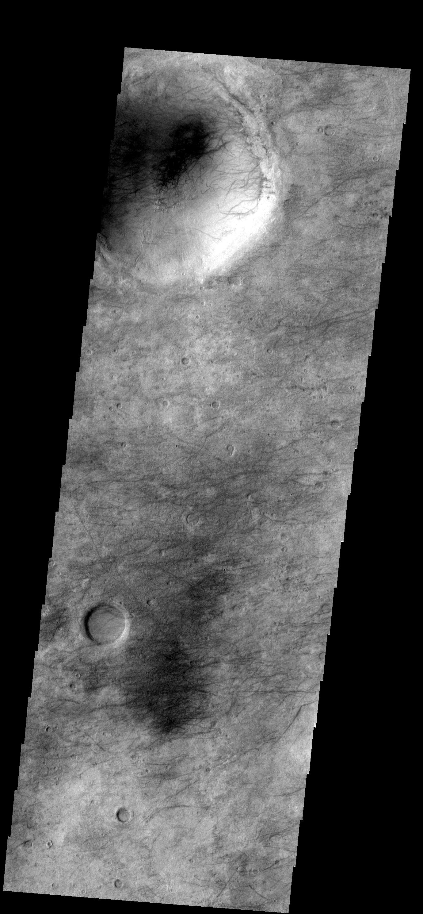
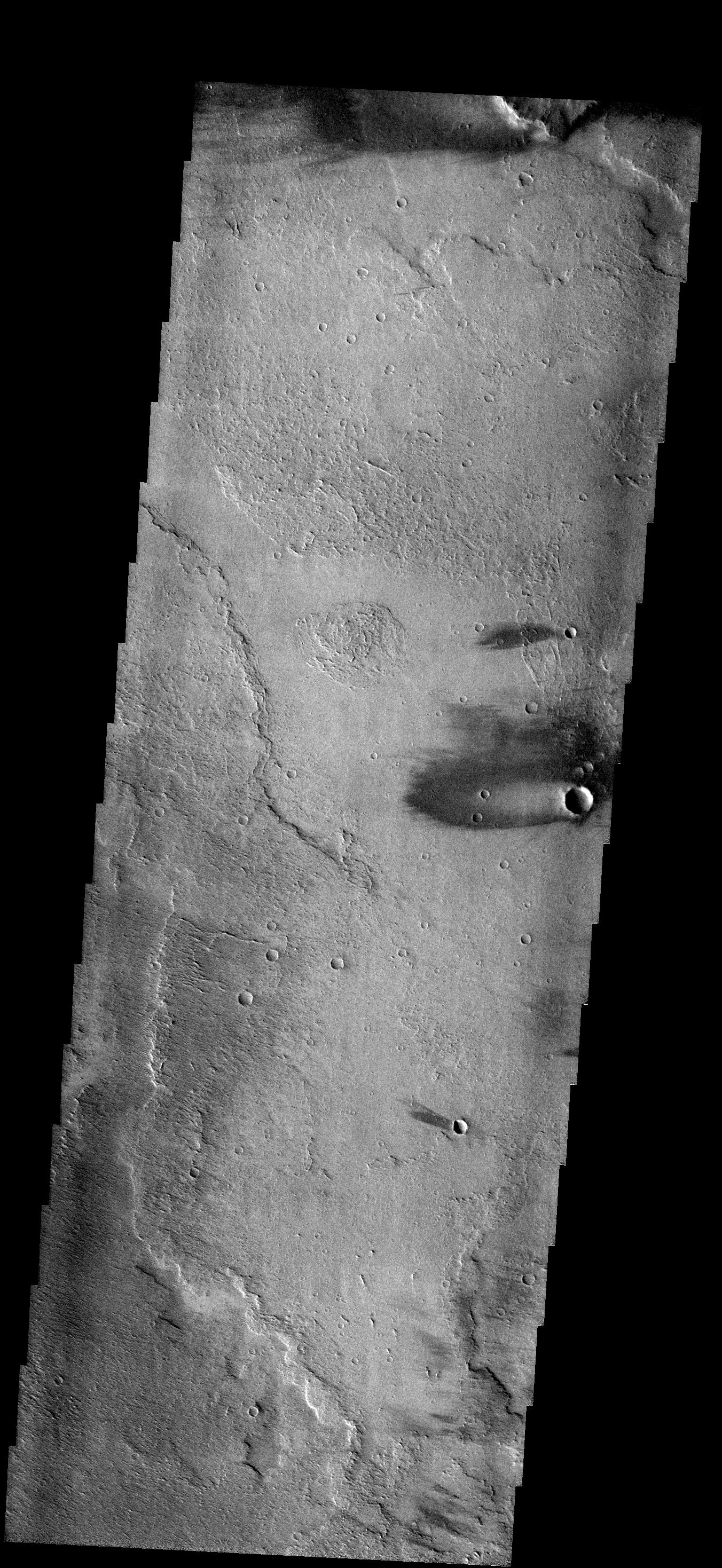
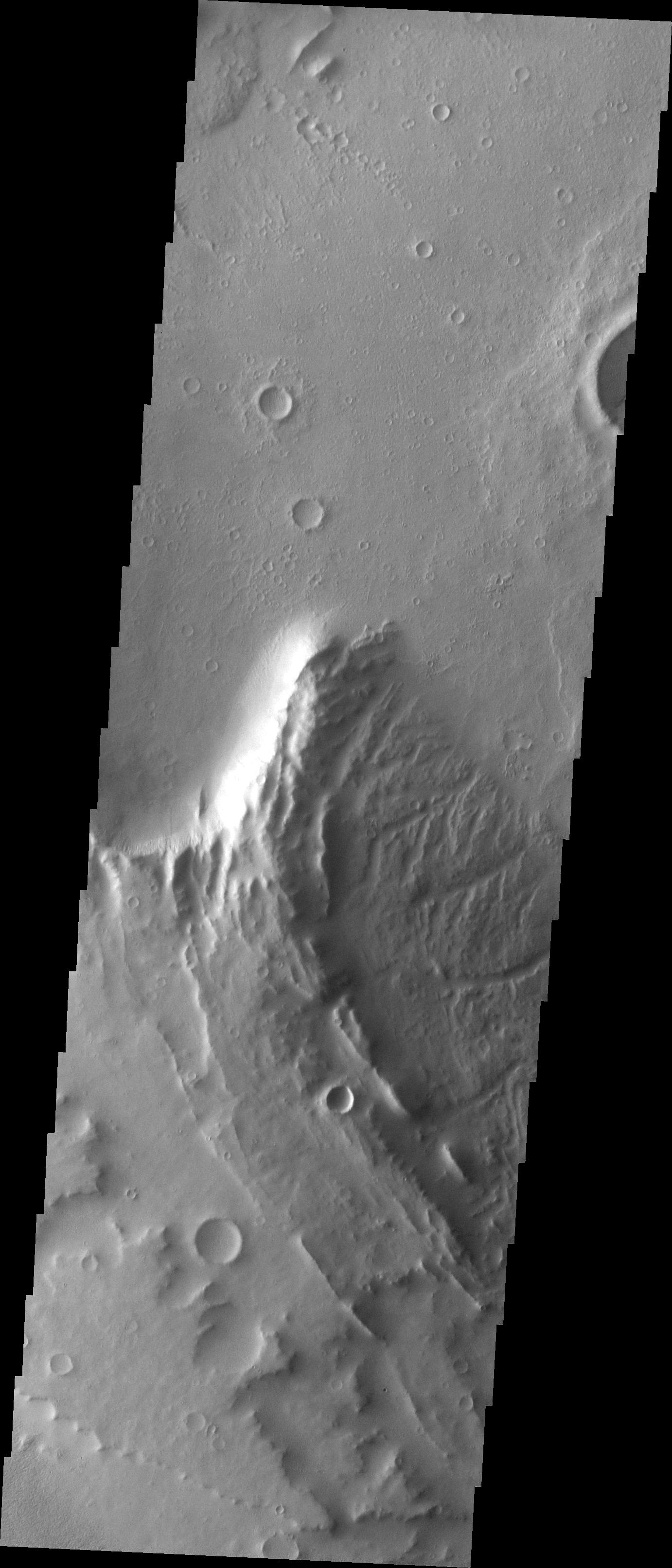
PIA09317:
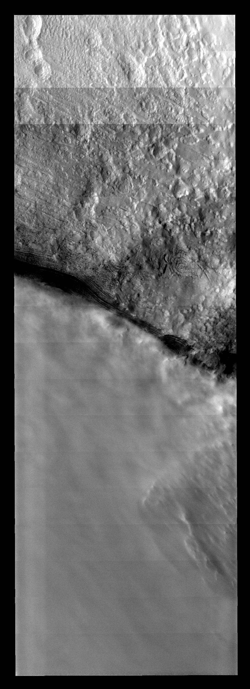
Russell Crater - VIS
Full Resolution:
TIFF
(4.181 MB)
JPEG
(367.8 kB)
2007-06-19
Mars
2001 Mars Odyssey
1047x2908x1
PIA09318:
THEMIS ART #81
Full Resolution:
TIFF
(3.048 MB)
JPEG
(349.8 kB)
2007-06-20
Mars
2001 Mars Odyssey
1359x2976x1
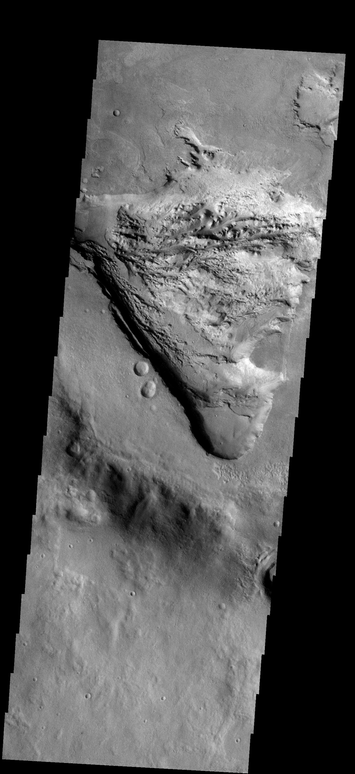
PIA09319:
THEMIS ART #82
Full Resolution:
TIFF
(4.049 MB)
JPEG
(446 kB)
2007-06-21
Mars
2001 Mars Odyssey
320x3600x1
PIA09420:
THEMIS ART #83
Full Resolution:
TIFF
(1.153 MB)
JPEG
(277.8 kB)
2007-06-22
Mars
2001 Mars Odyssey
1129x3179x1
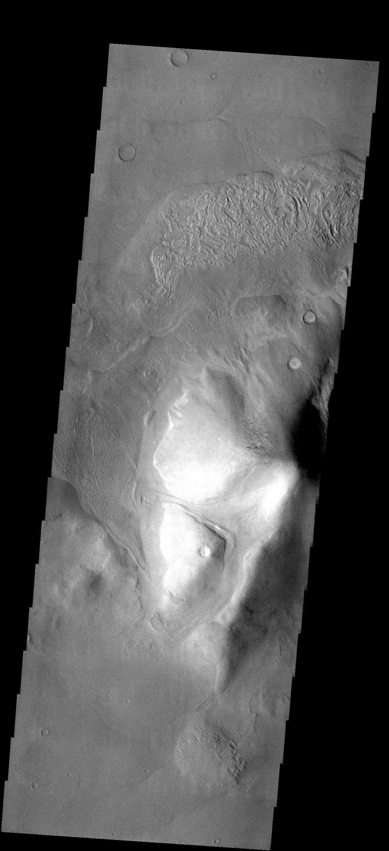
PIA09421:
THEMIS ART #84
Full Resolution:
TIFF
(3.593 MB)
JPEG
(382.1 kB)
2007-06-25
Mars
2001 Mars Odyssey
1382x2974x1
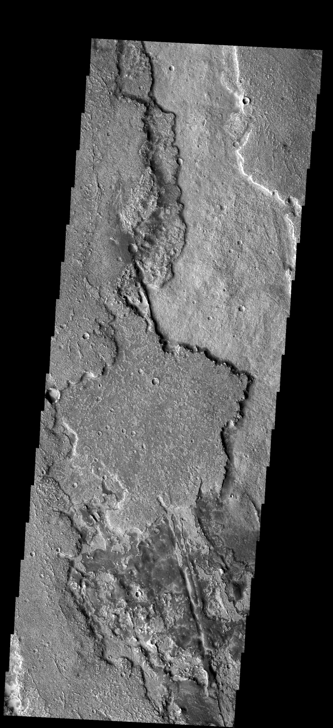
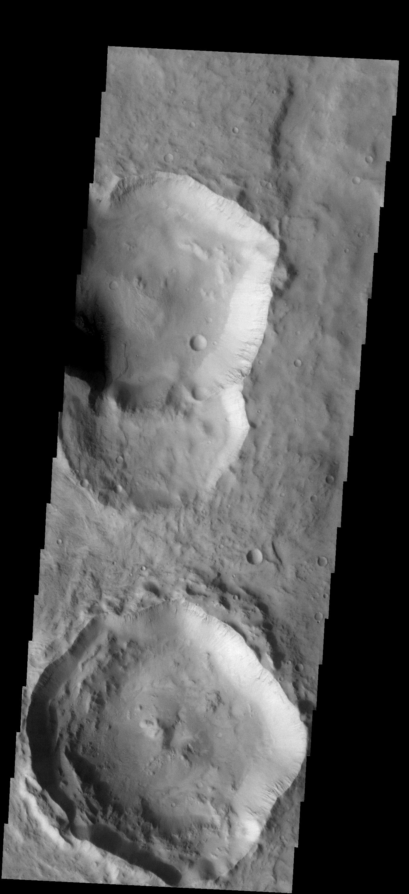
PIA09422:
Layered Fill
Full Resolution:
TIFF
(4.115 MB)
JPEG
(413.7 kB)
2007-06-26
Mars
2001 Mars Odyssey
1357x2943x1
PIA09423:
Fractures & Dunes
Full Resolution:
TIFF
(3.998 MB)
JPEG
(459.8 kB)
2007-06-27
Mars
2001 Mars Odyssey
1355x2934x1
PIA09424:
Windstreak
Full Resolution:
TIFF
(3.98 MB)
JPEG
(725.9 kB)
2007-06-28
Mars
2001 Mars Odyssey
1364x2940x1
PIA09425:
Samara Vallis
Full Resolution:
TIFF
(4.014 MB)
JPEG
(626.4 kB)
2007-06-28
Mars
Mars Exploration Rover (MER)
Mars Reconnaissance Orbiter (MRO)
Panoramic Camera
High Resolution Imaging Science Experiment (HiRISE)
639x361x3
PIA09687:
Surveying the Scene Above Opportunity (Simulation)
Full Resolution:
TIFF
(693 kB)
JPEG
(21.41 kB)
2007-06-28
Mars
Mars Exploration Rover (MER)
Panoramic Camera
640x361x3
PIA09688:
Rolling into Victoria Crater (Simulation)
Full Resolution:
TIFF
(694.1 kB)
JPEG
(31.33 kB)
2007-06-28
Mars
Mars Global Surveyor (MGS)
Mars Exploration Rover (MER)
Mars Reconnaissance Orbiter (MRO)
HiRISE
Mars Orbiter Camera (MOC)
636x479x3
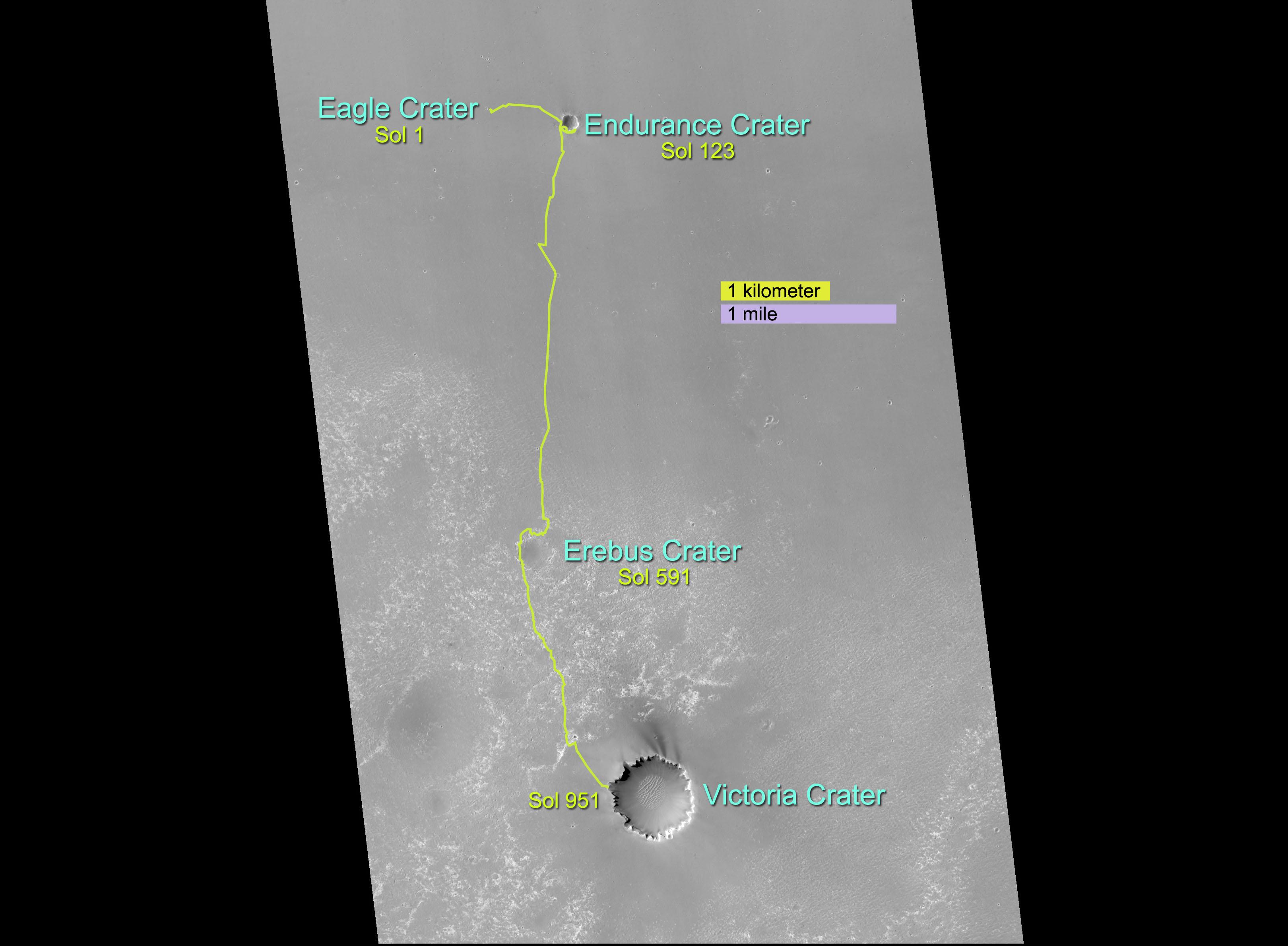
PIA09689:
Opportunity's Long Road to Victoria (Animation)
Full Resolution:
TIFF
(915.1 kB)
JPEG
(31.22 kB)
2007-06-28
Mars
Mars Exploration Rover (MER)
Mars Reconnaissance Orbiter (MRO)
HiRISE
1176x942x3
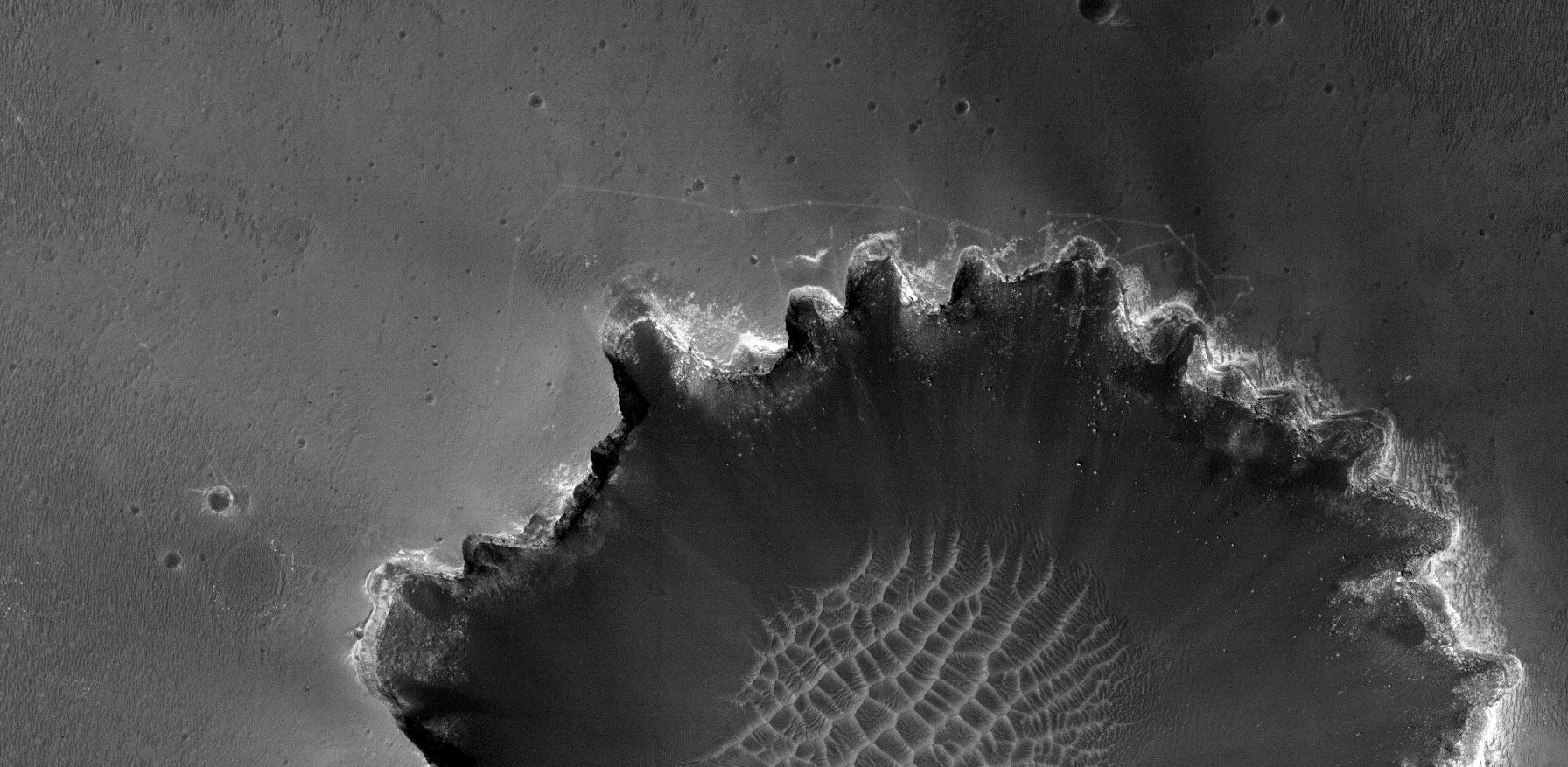
PIA09690:
Opportunity Gets Ready to Roll
Full Resolution:
TIFF
(3.327 MB)
JPEG
(165.4 kB)
2007-06-28
Mars
Mars Global Surveyor (MGS)
Mars Exploration Rover (MER)
Mars Orbiter Camera (MOC)
3240x2380x3
PIA09691:
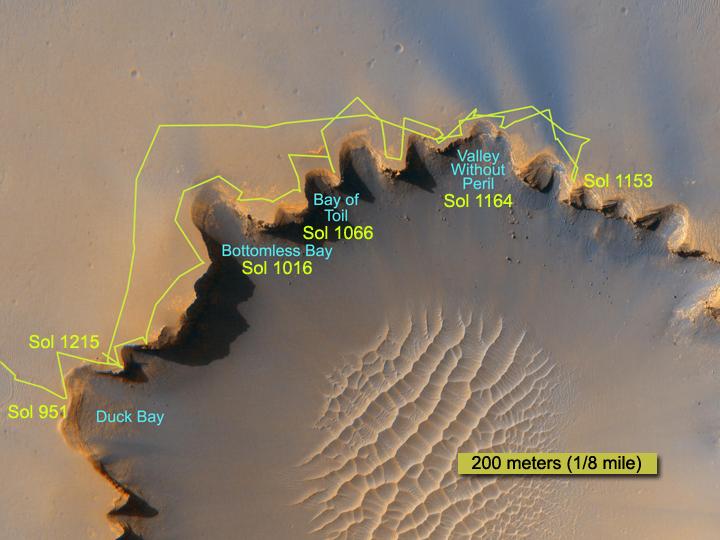
Opportunity's Path, Sol 1,215
Full Resolution:
TIFF
(23.13 MB)
JPEG
(432 kB)
2007-06-28
Mars
Mars Exploration Rover (MER)
Mars Reconnaissance Orbiter (MRO)
HiRISE
1792x877x1
PIA09692:
Rover Tracks at Crater's Edge
Full Resolution:
TIFF
(1.574 MB)
JPEG
(263.1 kB)
2007-06-28
Mars
Mars Exploration Rover (MER)
Panoramic Camera
3453x1536x3
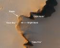
PIA09693:
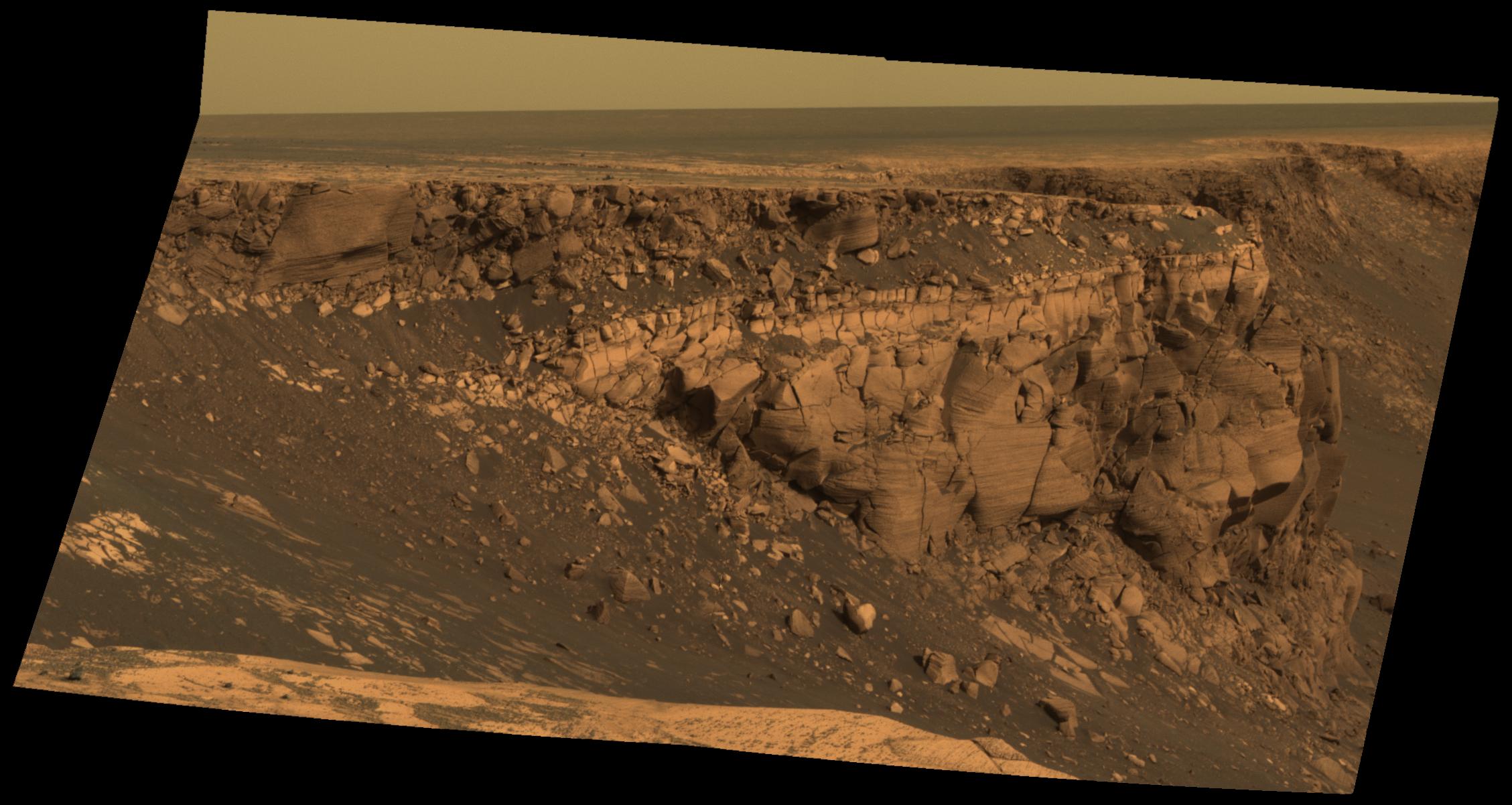
Band at Duck Bay
Full Resolution:
TIFF
(15.91 MB)
JPEG
(627.2 kB)
2007-06-28
Mars
Mars Exploration Rover (MER)
Panoramic Camera
2257x1202x3
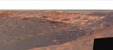
PIA09694:
Band of Bright Rock
Full Resolution:
TIFF
(8.149 MB)
JPEG
(278.3 kB)
2007-06-28
Mars
Mars Exploration Rover (MER)
Panoramic Camera
2257x1202x3
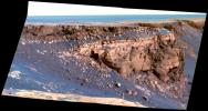
PIA09695:
Band of Bright Rock (False Color)
Full Resolution:
TIFF
(8.149 MB)
JPEG
(402.5 kB)
2007-06-28
Mars
Mars Exploration Rover (MER)
Mars Reconnaissance Orbiter (MRO)
HiRISE
720x540x3
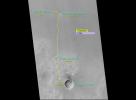
PIA09696:
Crater Rim Path, Sol 1,215
Full Resolution:
TIFF
(1.168 MB)
JPEG
(46.69 kB)
2007-06-29
Mars
2001 Mars Odyssey
1347x2948x1
PIA09426:
Dual Landslides
Full Resolution:
TIFF
(3.975 MB)
JPEG
(354.8 kB)
2007-07-02
Mars
2001 Mars Odyssey
THEMIS
1358x2931x1
PIA09427:
Windstreaks
Full Resolution:
TIFF
(3.984 MB)
JPEG
(644.9 kB)
2007-07-03
Mars
2001 Mars Odyssey
THEMIS
1087x2941x1
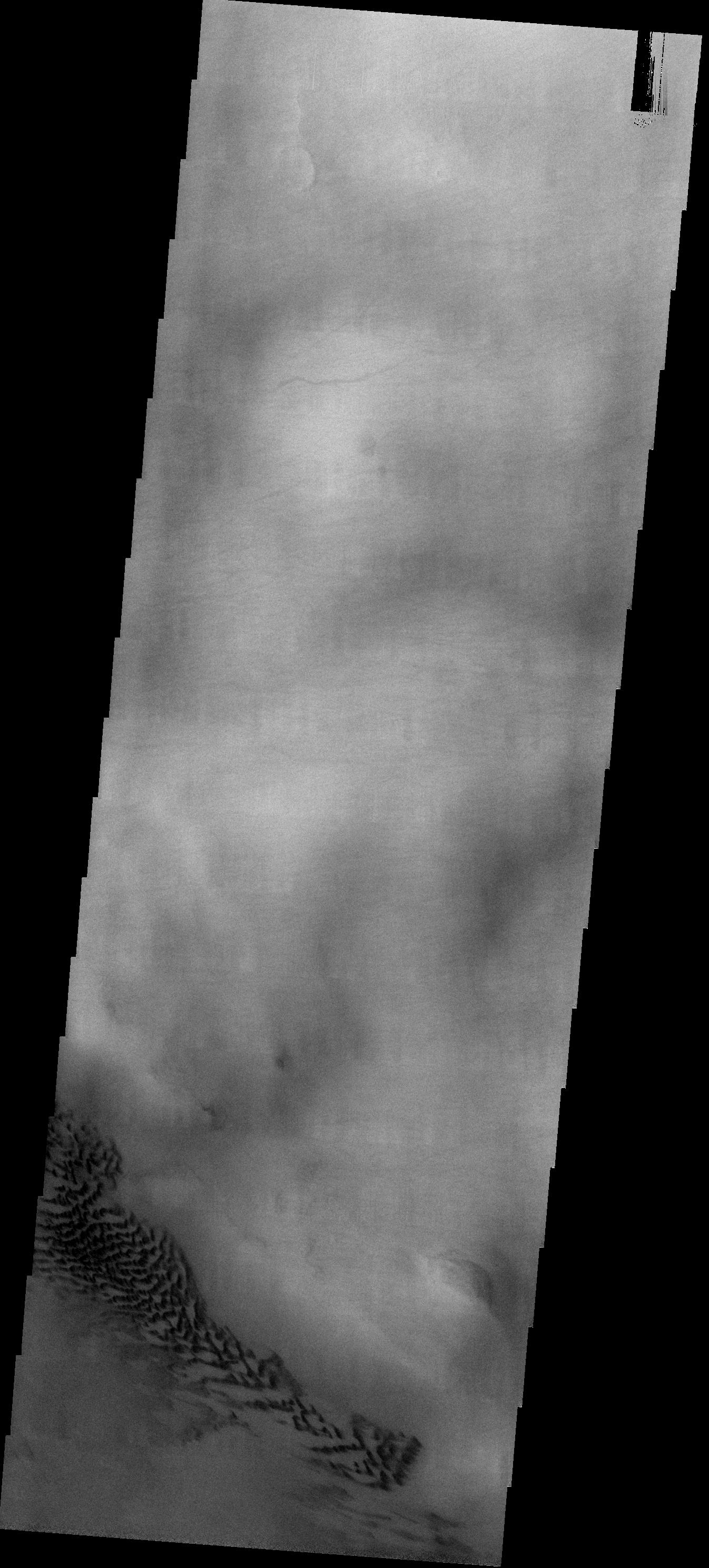
PIA09428:
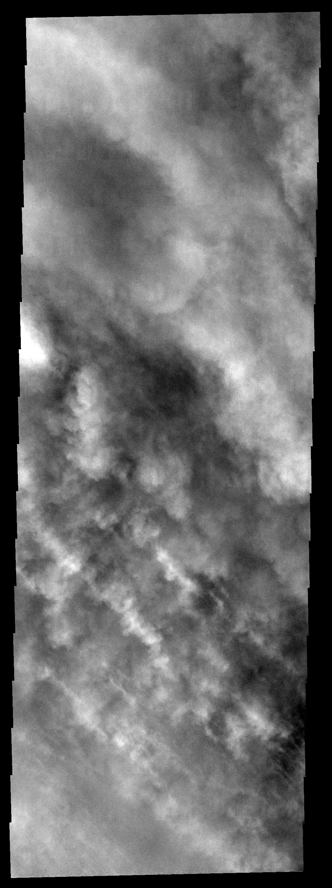
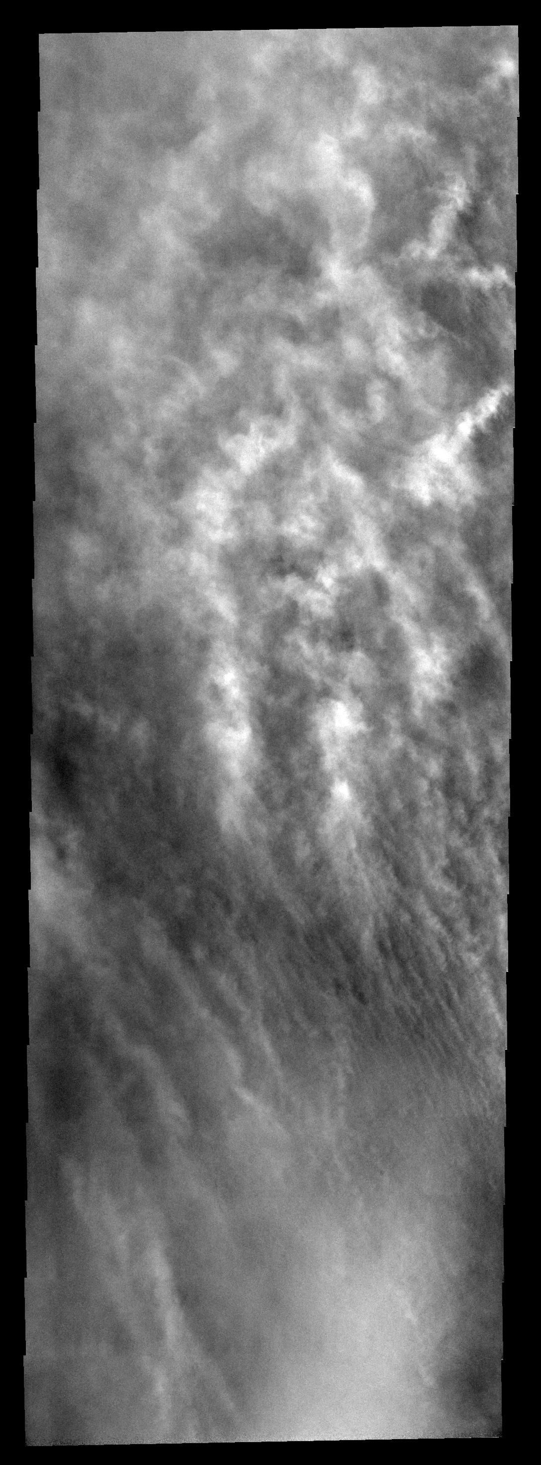
Southern Storm
Full Resolution:
TIFF
(3.2 MB)
JPEG
(429.6 kB)
2007-07-04
Mars
2001 Mars Odyssey
THEMIS
1344x2968x1
PIA09429:
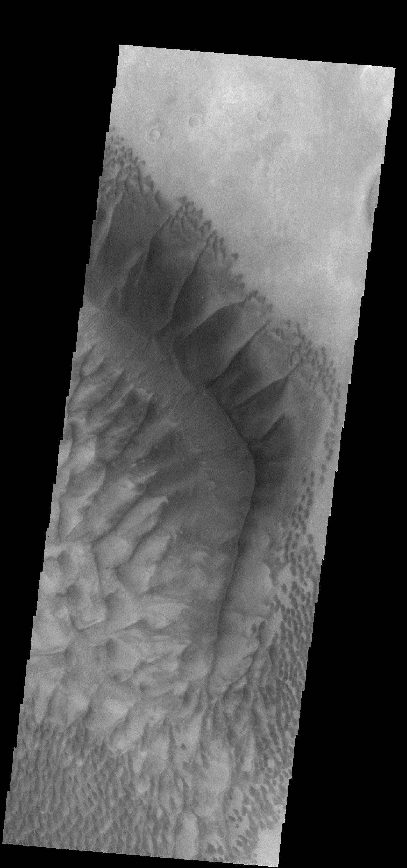
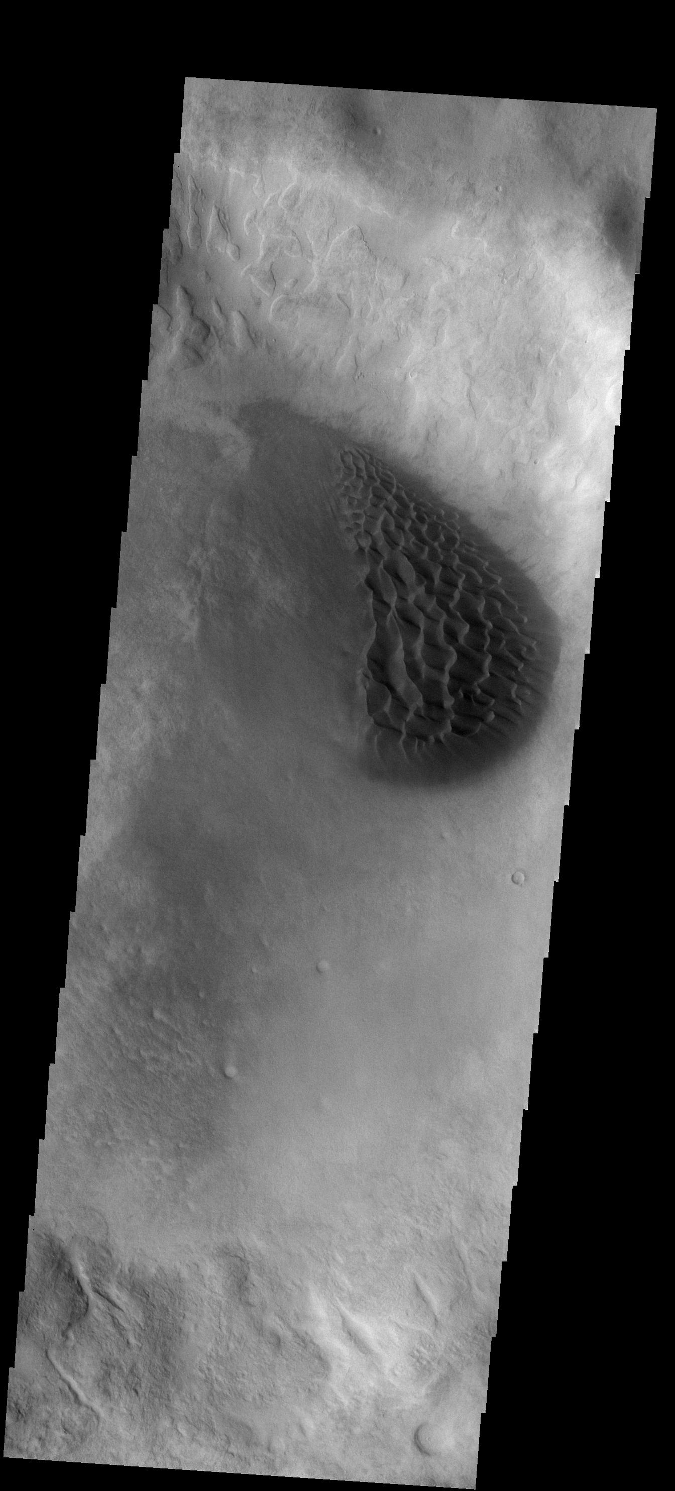
Crater Dunes
Full Resolution:
TIFF
(3.993 MB)
JPEG
(323.6 kB)
2007-07-05
Mars
2001 Mars Odyssey
THEMIS
1112x3028x1
PIA09430:
Dust Devil Tracks
Full Resolution:
TIFF
(3.371 MB)
JPEG
(413.9 kB)
2007-07-06
Mars
2001 Mars Odyssey
THEMIS
1345x2939x1
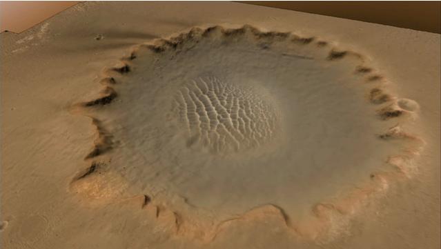
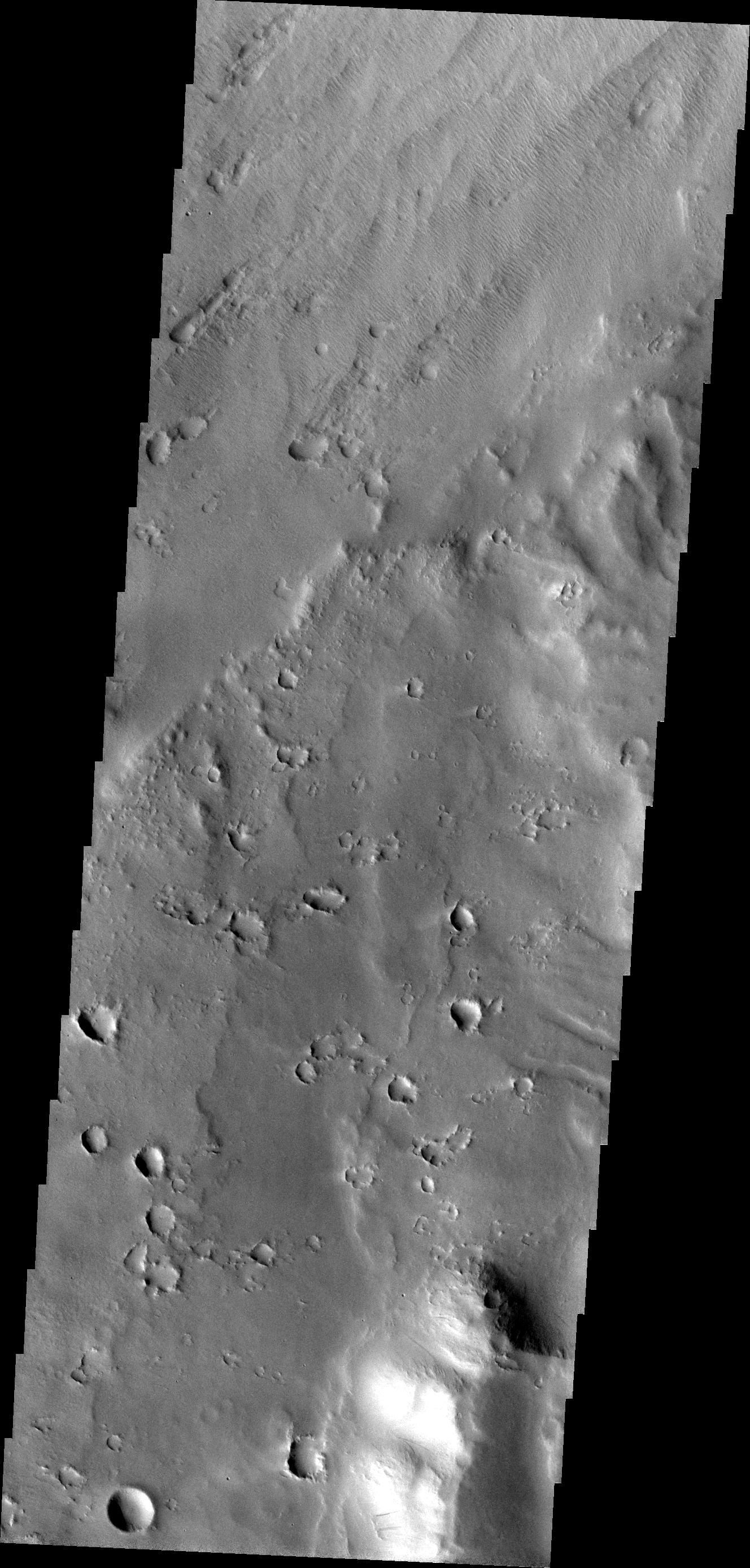
PIA09431:
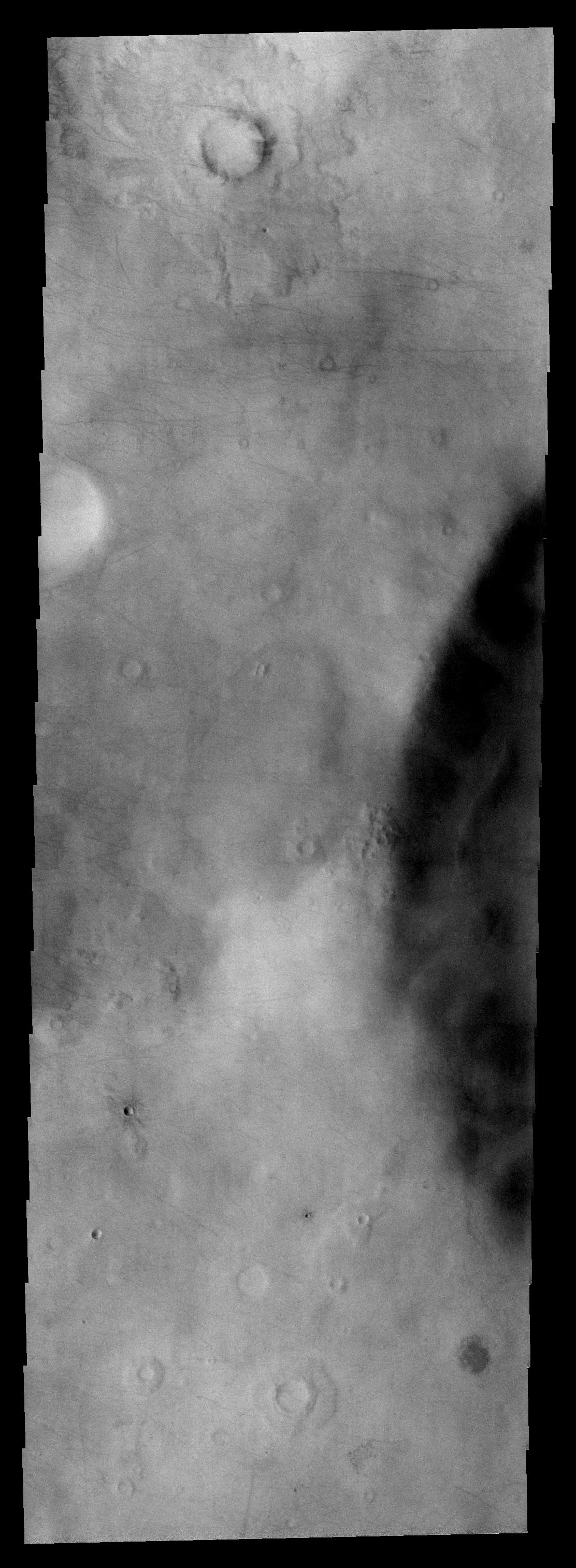
Huygens Crater
Full Resolution:
TIFF
(3.957 MB)
JPEG
(452.3 kB)
2007-07-09
Mars
2001 Mars Odyssey
THEMIS
1358x2931x1
PIA09432:
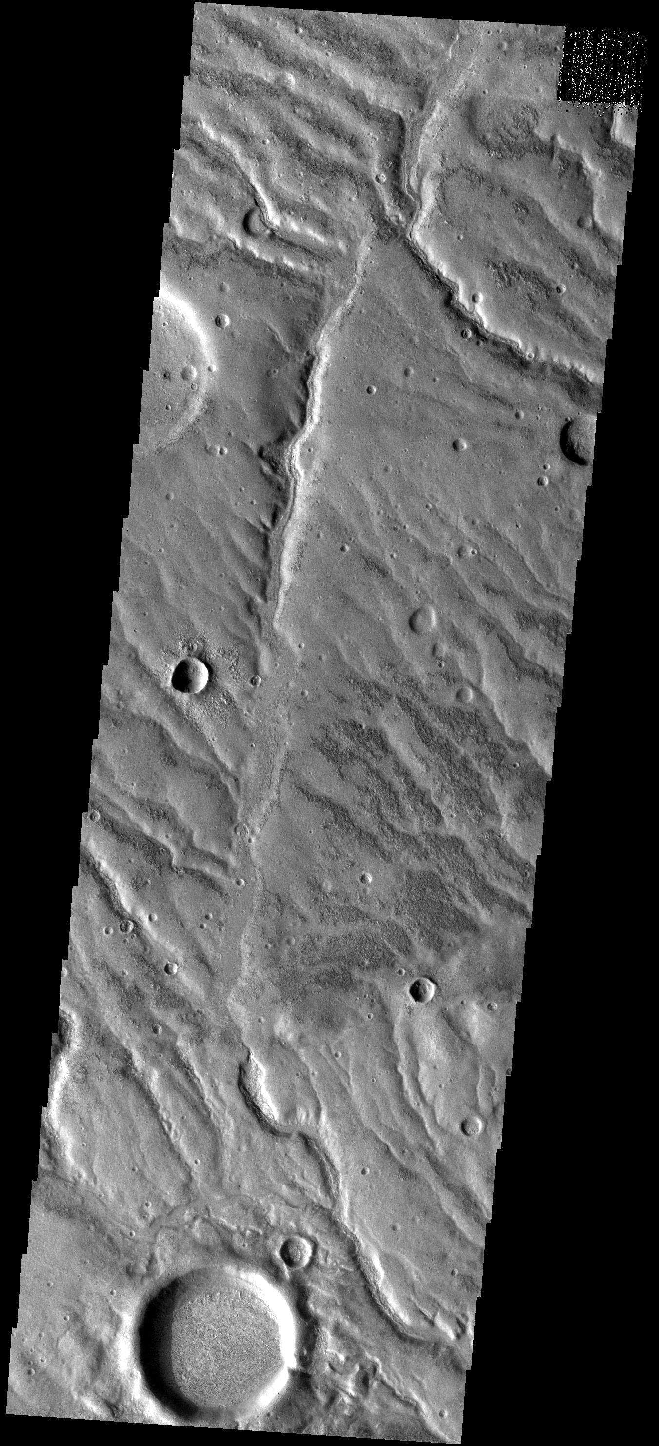
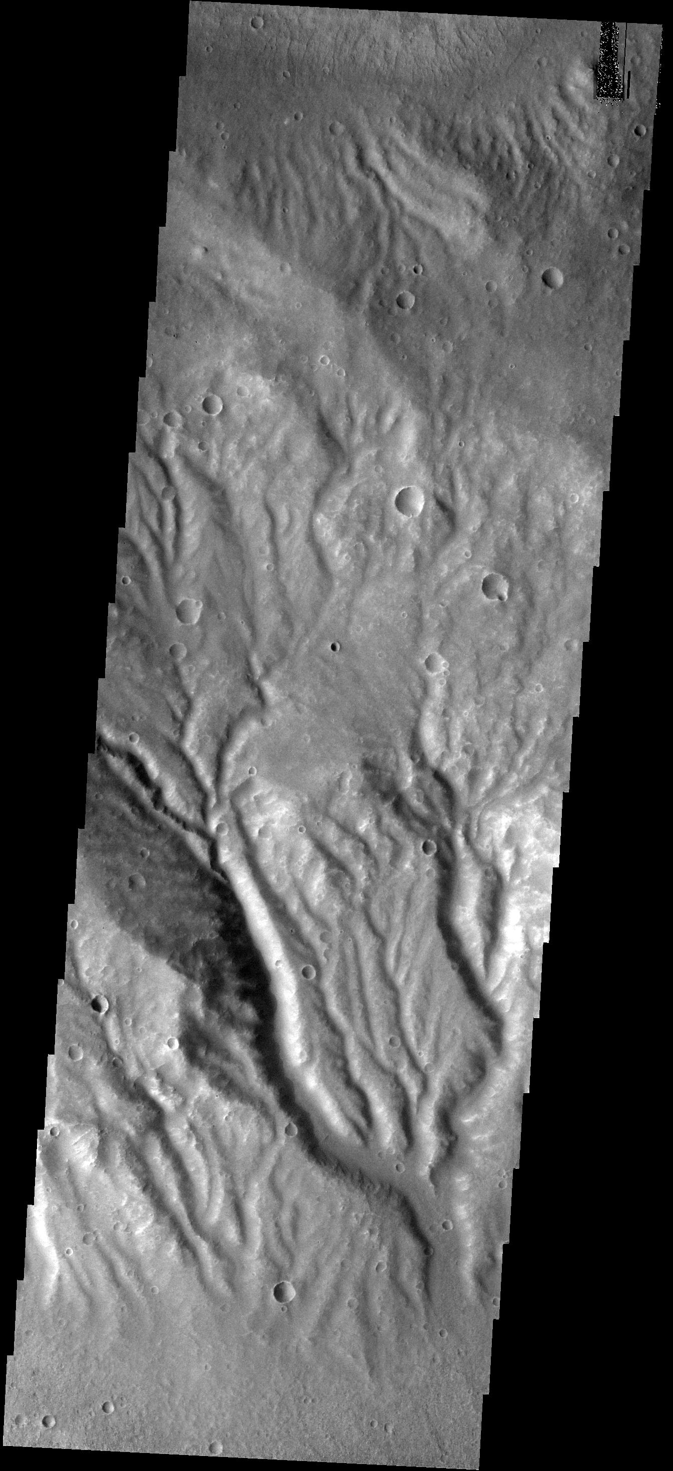
Allegheny Vallis
Full Resolution:
TIFF
(3.984 MB)
JPEG
(413.9 kB)
2007-07-09
Mars
Mars Reconnaissance Orbiter (MRO)
Phoenix
HiRISE
720x415x1
PIA09702:
Terrain Type for Phoenix Landing
Full Resolution:
TIFF
(299.3 kB)
JPEG
(73.26 kB)
2007-07-10
Mars
2001 Mars Odyssey
THEMIS
1050x2890x1
PIA09433:
Polar Front
Full Resolution:
TIFF
(3.038 MB)
JPEG
(375.6 kB)
2007-07-11
Mars
2001 Mars Odyssey
THEMIS
1355x2954x1
PIA09434:
Fill/Remove
Full Resolution:
TIFF
(4.007 MB)
JPEG
(459.3 kB)
2007-07-12
Mars
2001 Mars Odyssey
THEMIS
1358x2970x1
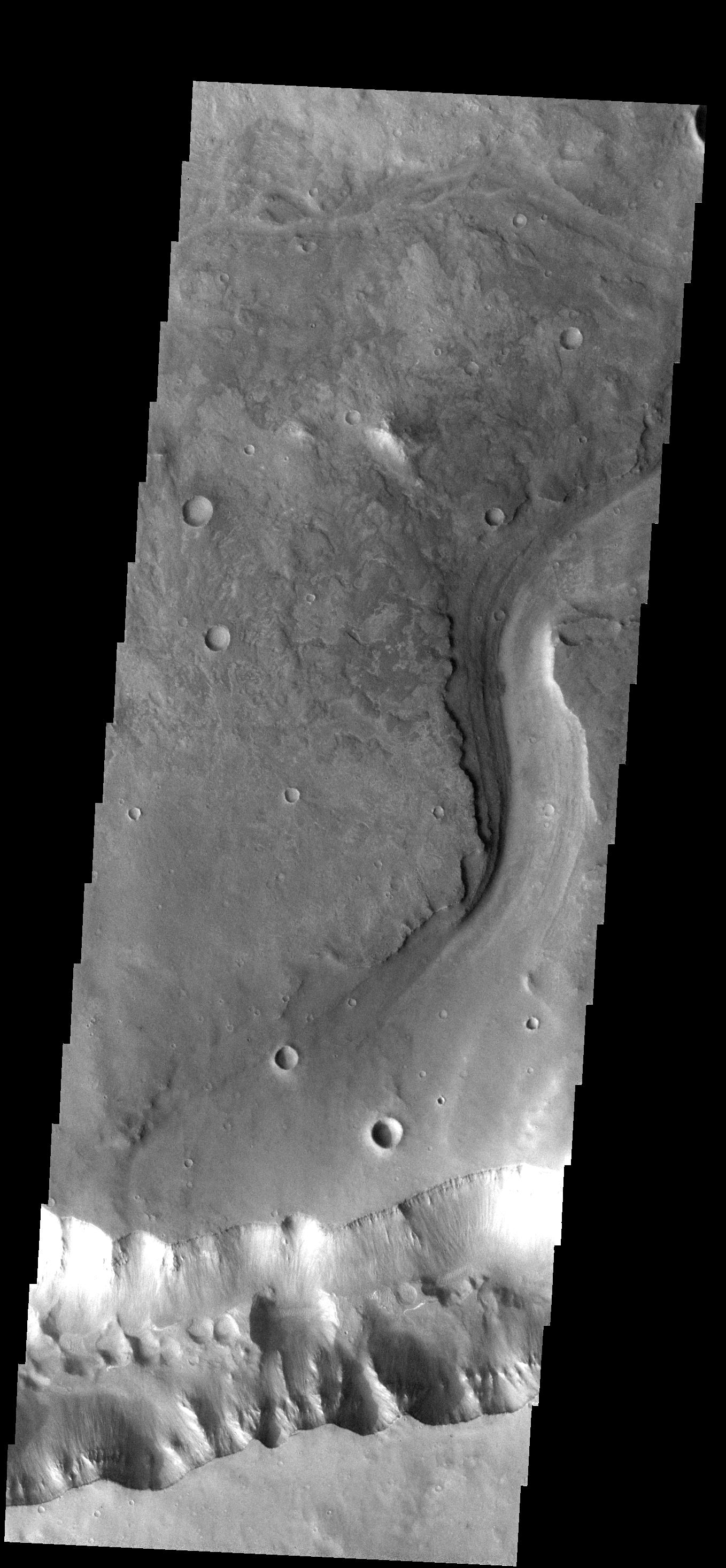
PIA09435:
Debris Flow
Full Resolution:
TIFF
(4.037 MB)
JPEG
(428.4 kB)
2007-07-13
Mars
2001 Mars Odyssey
THEMIS
1346x2943x1
PIA09436:
Lava Flows
Full Resolution:
TIFF
(3.965 MB)
JPEG
(717.9 kB)
2007-07-16
Mars
2001 Mars Odyssey
THEMIS
1347x2961x1
PIA09437:
Reull Vallis
Full Resolution:
TIFF
(3.993 MB)
JPEG
(556.3 kB)
2007-07-17
Mars
2001 Mars Odyssey
THEMIS
1390x2987x1
PIA09438:
Dust Devil Tracks
Full Resolution:
TIFF
(4.157 MB)
JPEG
(642.1 kB)
2007-07-18
Mars
2001 Mars Odyssey
THEMIS
1357x2925x1
PIA09439:
Avernus Colles
Full Resolution:
TIFF
(3.973 MB)
JPEG
(727.3 kB)
2007-07-19
Mars
2001 Mars Odyssey
THEMIS
1362x2925x1
PIA09440:
Wind Etching
Full Resolution:
TIFF
(3.988 MB)
JPEG
(730.5 kB)
2007-07-20
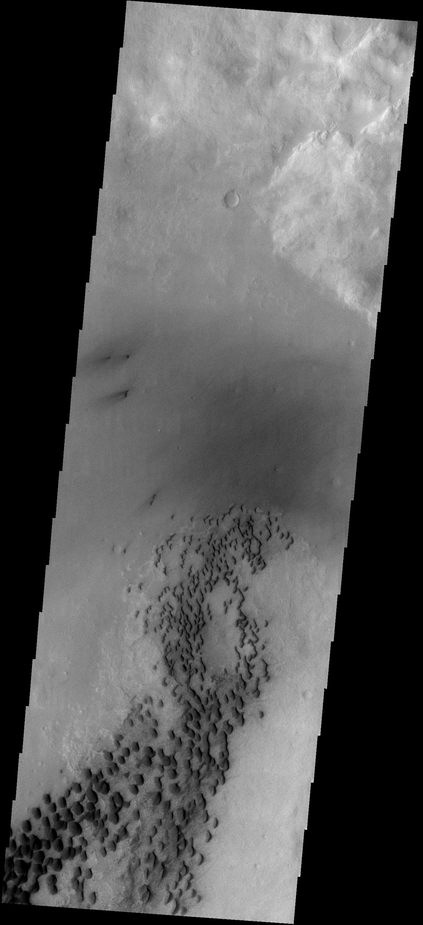
Mars
2001 Mars Odyssey
THEMIS
1350x2984x1
PIA09441:
Dunes
Full Resolution:
TIFF
(4.033 MB)
JPEG
(430.6 kB)
2007-07-21
Mars
Mars Exploration Rover (MER)
Panoramic Camera
1200x800x3
PIA09935:
Dust Storm Time Lapse Shows Opportunity's Skies Darken
Full Resolution:
TIFF
(2.883 MB)
JPEG
(39.43 kB)
2007-07-23
Mars
2001 Mars Odyssey
THEMIS
1380x2980x1
PIA09442:
Dust Devil Tracks
Full Resolution:
TIFF
(4.117 MB)
JPEG
(484.5 kB)
2007-07-24
Mars
2001 Mars Odyssey
THEMIS
320x3600x1
PIA09443:
Changing Winds
Full Resolution:
TIFF
(1.153 MB)
JPEG
(322.1 kB)
2007-07-25
Mars
2001 Mars Odyssey
THEMIS
1346x2976x1
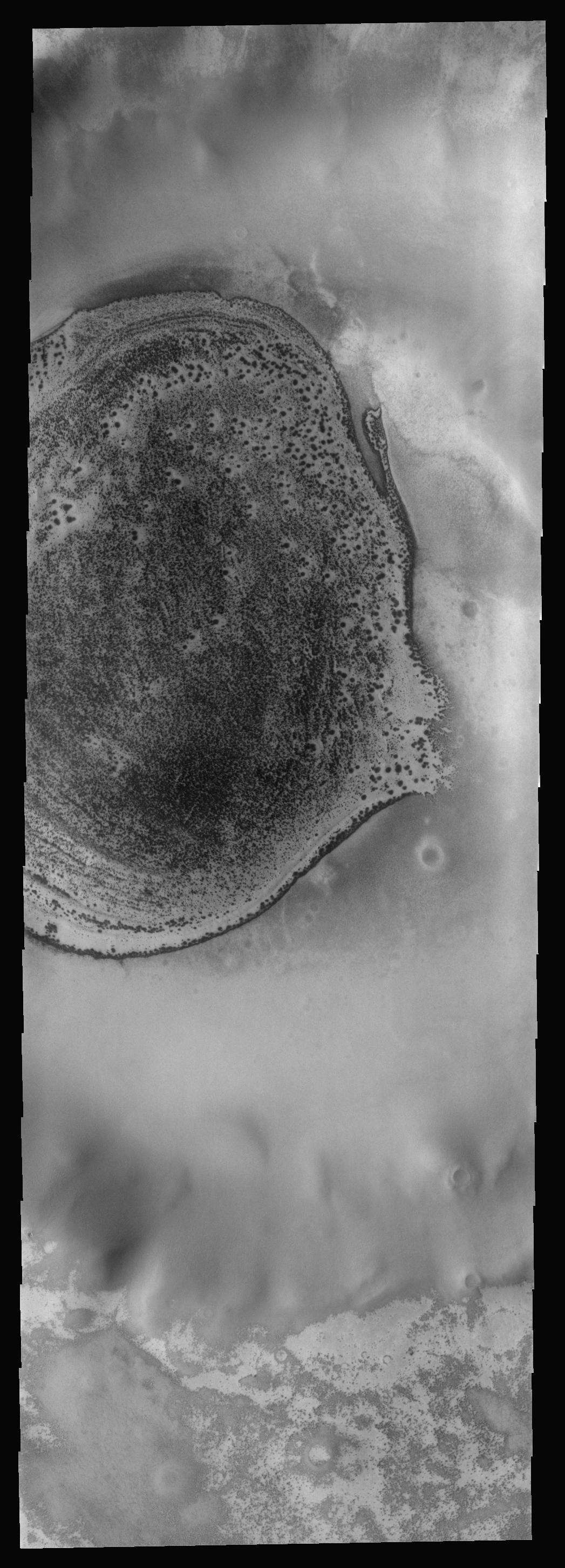
PIA09444:
Dunes in Hellas
Full Resolution:
TIFF
(4.01 MB)
JPEG
(417.8 kB)
2007-07-26
Mars
2001 Mars Odyssey
THEMIS
1410x2995x1
PIA09445:
Odd Texture
Full Resolution:
TIFF
(4.228 MB)
JPEG
(639 kB)
2007-07-27
Mars
2001 Mars Odyssey
THEMIS
1157x3069x1
PIA09446:
Dust Devil Tracks
Full Resolution:
TIFF
(3.555 MB)
JPEG
(746.2 kB)
2007-07-30
Mars
2001 Mars Odyssey
THEMIS
1356x2926x1
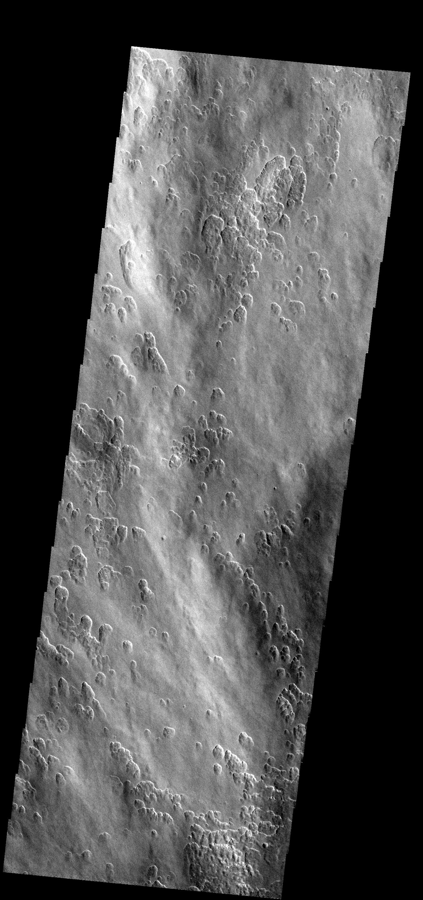
PIA09447:
Iani Chaos
Full Resolution:
TIFF
(3.972 MB)
JPEG
(364.3 kB)
2007-07-31
Mars
2001 Mars Odyssey
THEMIS
1362x2975x1
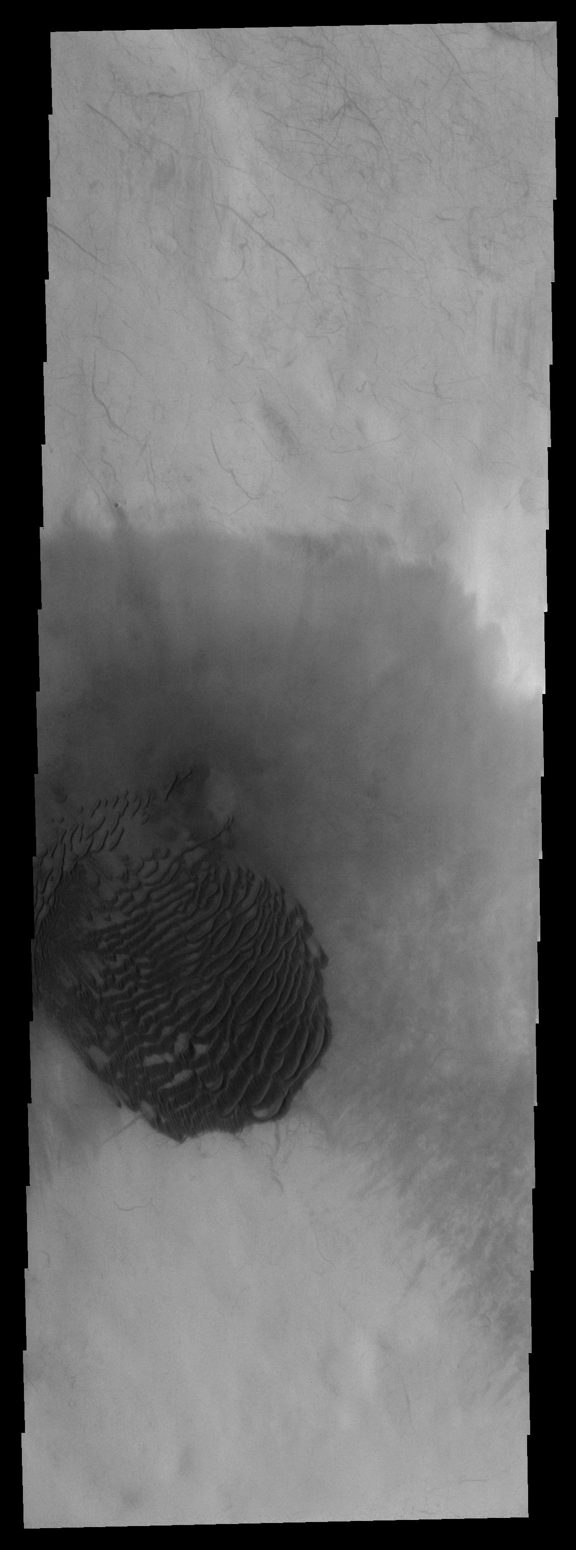
PIA09448:
Dunes on Wirtz Crater
Full Resolution:
TIFF
(4.056 MB)
JPEG
(370.5 kB)
2007-08-01
Mars
2001 Mars Odyssey
THEMIS
1347x2937x1
PIA09449:
Dunes in Terra Cimmeria
Full Resolution:
TIFF
(3.96 MB)
JPEG
(422.3 kB)
2007-08-02
Mars
2001 Mars Odyssey
THEMIS
1352x2970x1
PIA09450:
Debris Flow
Full Resolution:
TIFF
(4.02 MB)
JPEG
(336.6 kB)
2007-08-02
Mars
Mars Global Surveyor (MGS)
Phoenix
MOLA
1127x1125x3
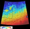
PIA09944:
Far-Northern Destination for Phoenix Mars Lander
Full Resolution:
TIFF
(3.808 MB)
JPEG
(244.1 kB)
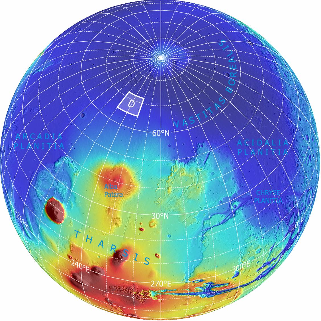
2007-08-02
Mars
Mars Global Surveyor (MGS)
Phoenix
MOLA
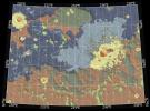
1019x985x3
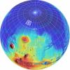
PIA09945:
Topographical Context of Phoenix Landing Region
Full Resolution:
TIFF
(3.015 MB)
JPEG
(137 kB)
2007-08-02
Mars
Mars Reconnaissance Orbiter (MRO)
Phoenix
CTX
1159x858x3
PIA09946:
Possible Landing Ellipses for Phoenix
Full Resolution:
TIFF
(2.987 MB)
JPEG
(191.5 kB)
2007-08-02
Mars
Mars Reconnaissance Orbiter (MRO)
Phoenix
CTX
1300x1300x1
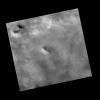
PIA09947:
Context Image of Planned Landing Site
Full Resolution:
TIFF
(1.692 MB)
JPEG
(108.2 kB)
2007-08-02
Mars
Mars Reconnaissance Orbiter (MRO)
Phoenix
HiRISE
1003x1004x1
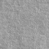
PIA09948:
Sweet Spot for Landing on Mars
Full Resolution:
TIFF
(1.008 MB)
JPEG
(227 kB)
2007-08-03
Mars
2001 Mars Odyssey
THEMIS
1353x2977x1
PIA09451:
Dust Devil Tracks
Full Resolution:
TIFF
(4.032 MB)
JPEG
(640.1 kB)
2007-08-06
Mars
2001 Mars Odyssey
THEMIS
1358x2959x1
PIA09452:
Dao Vallis
Full Resolution:
TIFF
(4.023 MB)
JPEG
(567 kB)
2007-08-07
Mars
2001 Mars Odyssey
THEMIS
1378x2978x1
PIA09453:
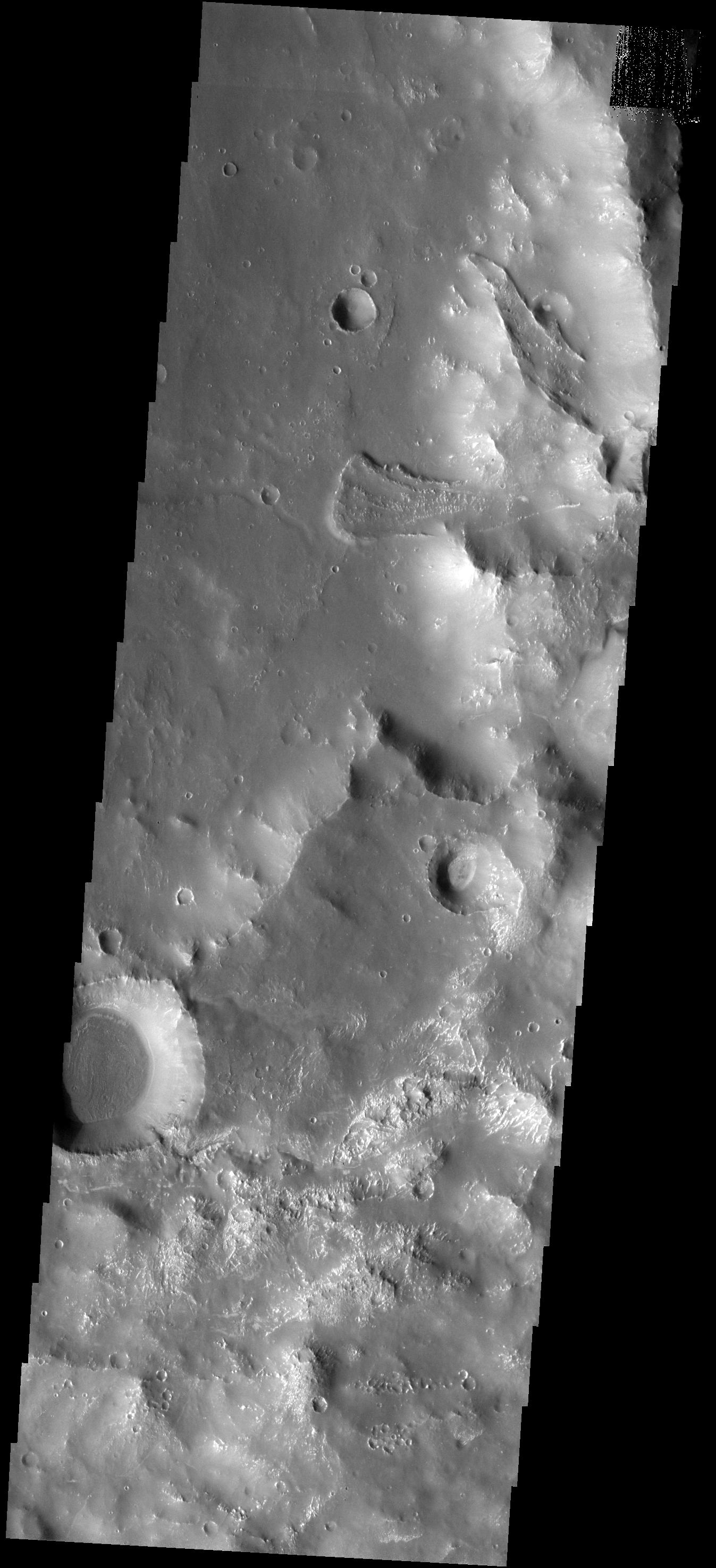
Maunder Crater
Full Resolution:
TIFF
(4.109 MB)
JPEG
(360.6 kB)
2007-08-08
Mars
2001 Mars Odyssey
THEMIS
1341x2945x1
PIA09454:
Claritas Rupes
Full Resolution:
TIFF
(3.953 MB)
JPEG
(399.7 kB)
2007-08-09
Mars
2001 Mars Odyssey
THEMIS
1348x2934x1
PIA09455:
Clear to Hazy
Full Resolution:
TIFF
(3.959 MB)
JPEG
(198.4 kB)
2007-08-10
Mars
2001 Mars Odyssey
THEMIS
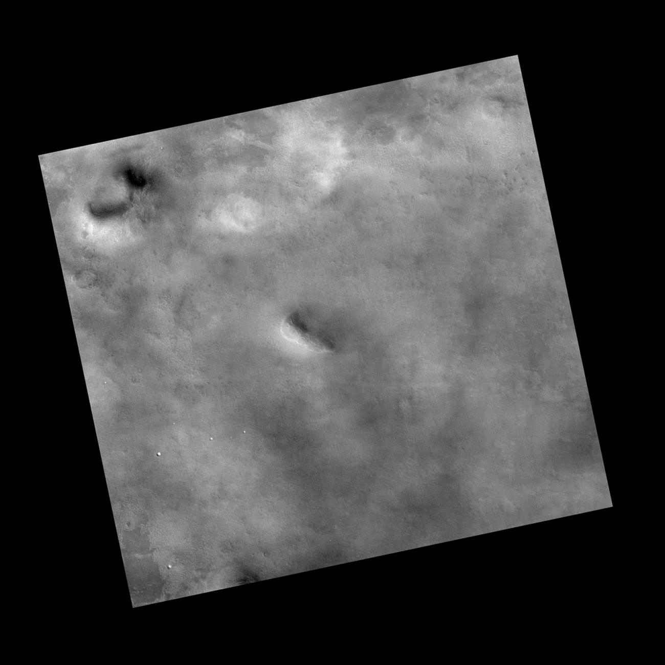
1345x2939x1
PIA09456:
Classic Crater
Full Resolution:
TIFF
(3.957 MB)
JPEG
(309.8 kB)
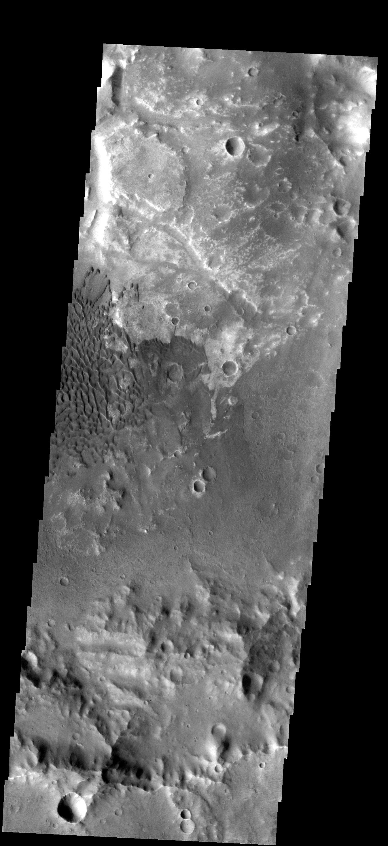
2007-08-13
Mars
2001 Mars Odyssey
THEMIS
1346x2937x1
PIA09457:
Dunes in Graben
Full Resolution:
TIFF
(3.957 MB)
JPEG
(569.4 kB)
2007-08-14
Mars
2001 Mars Odyssey
THEMIS
1131x3044x1
PIA09458:
Dunes
Full Resolution:
TIFF
(3.446 MB)
JPEG
(245.4 kB)
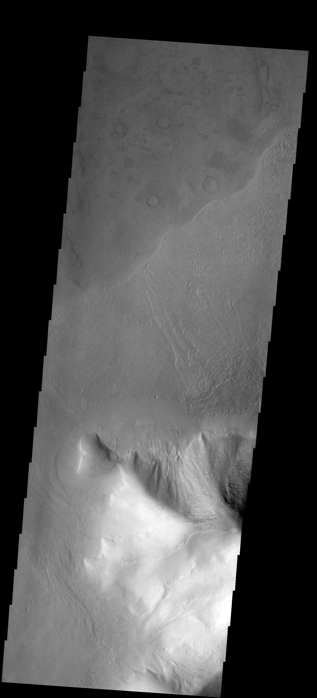
2007-08-15
Mars
2001 Mars Odyssey
THEMIS
1352x2982x1
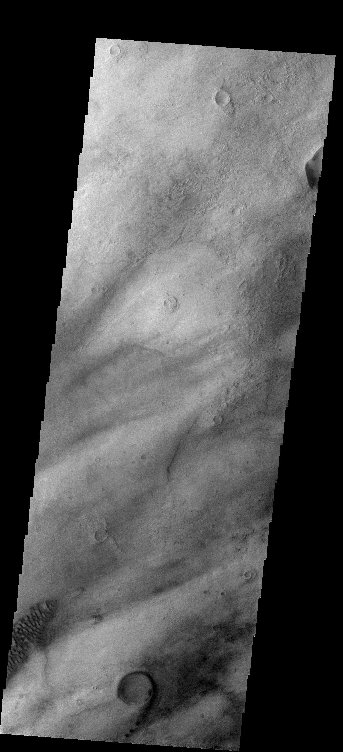
PIA09459:
Gullies
Full Resolution:
TIFF
(4.036 MB)
JPEG
(294.6 kB)
2007-08-16
Mars
2001 Mars Odyssey
THEMIS
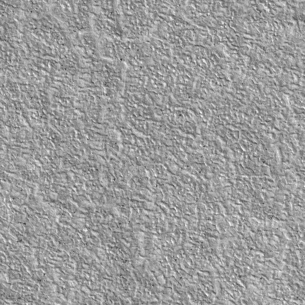
1354x2934x1
PIA09460:
Unique Texture
Full Resolution:
TIFF
(3.977 MB)
JPEG
(439.1 kB)
2007-08-17
Mars
2001 Mars Odyssey
THEMIS
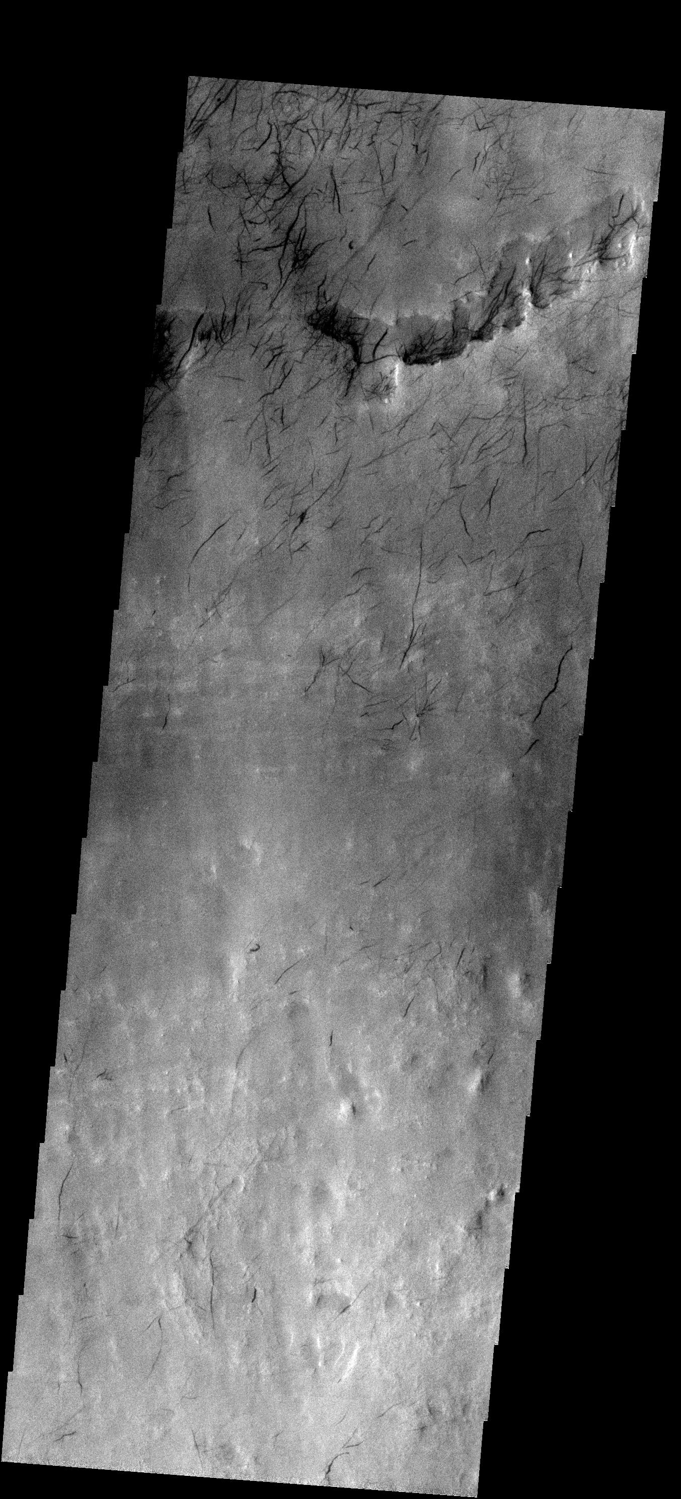
1352x2933x1
PIA09461:
Wind Erosion
Full Resolution:
TIFF
(3.97 MB)
JPEG
(634.4 kB)
2007-08-20
Mars
2001 Mars Odyssey
THEMIS
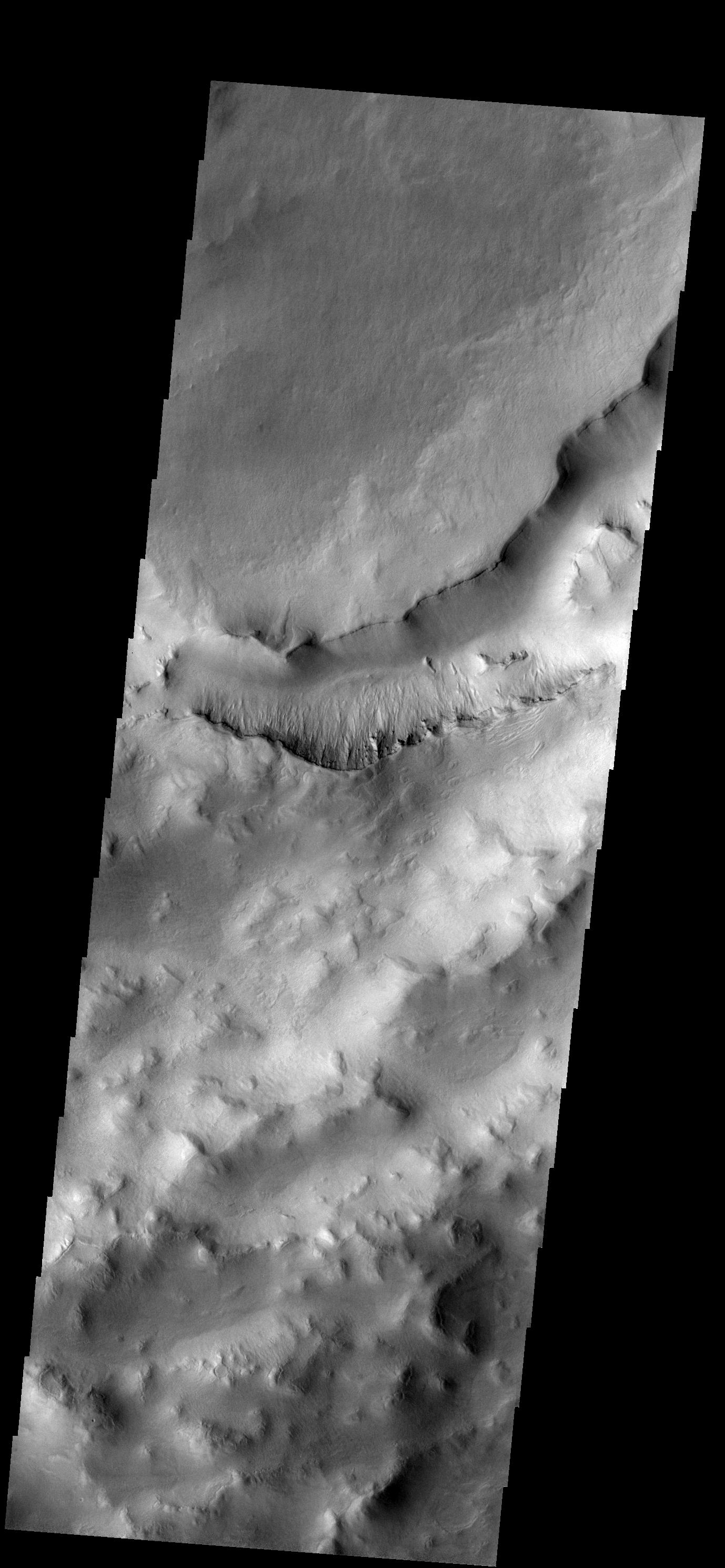
1335x2954x1
PIA09462:
Crater Modification
Full Resolution:
TIFF
(3.948 MB)
JPEG
(429.1 kB)
2007-08-21
Mars
2001 Mars Odyssey
THEMIS
1087x2864x1
PIA09463:
Polar Textures
Full Resolution:
TIFF
(3.117 MB)
JPEG
(839.6 kB)
2007-08-22
Mars
2001 Mars Odyssey
THEMIS
1352x2937x1
PIA09464:
Windstreaks
Full Resolution:
TIFF
(3.975 MB)
JPEG
(728.6 kB)
2007-08-23
Mars
2001 Mars Odyssey
THEMIS
1345x2940x1
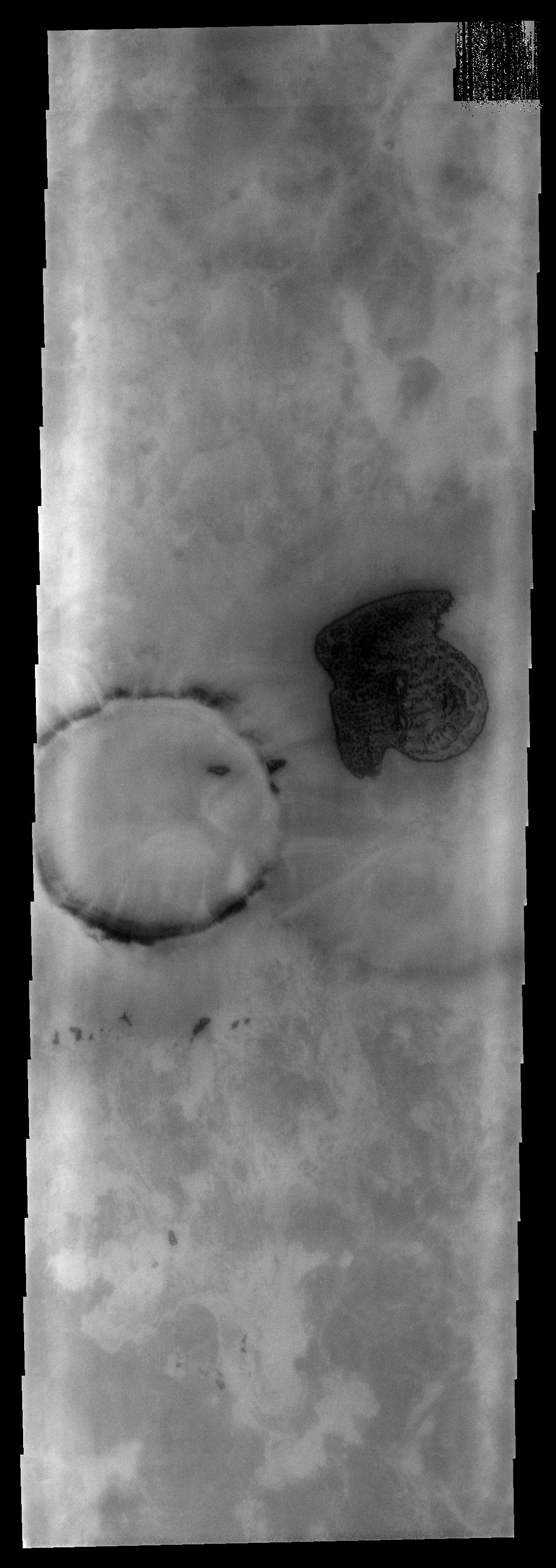
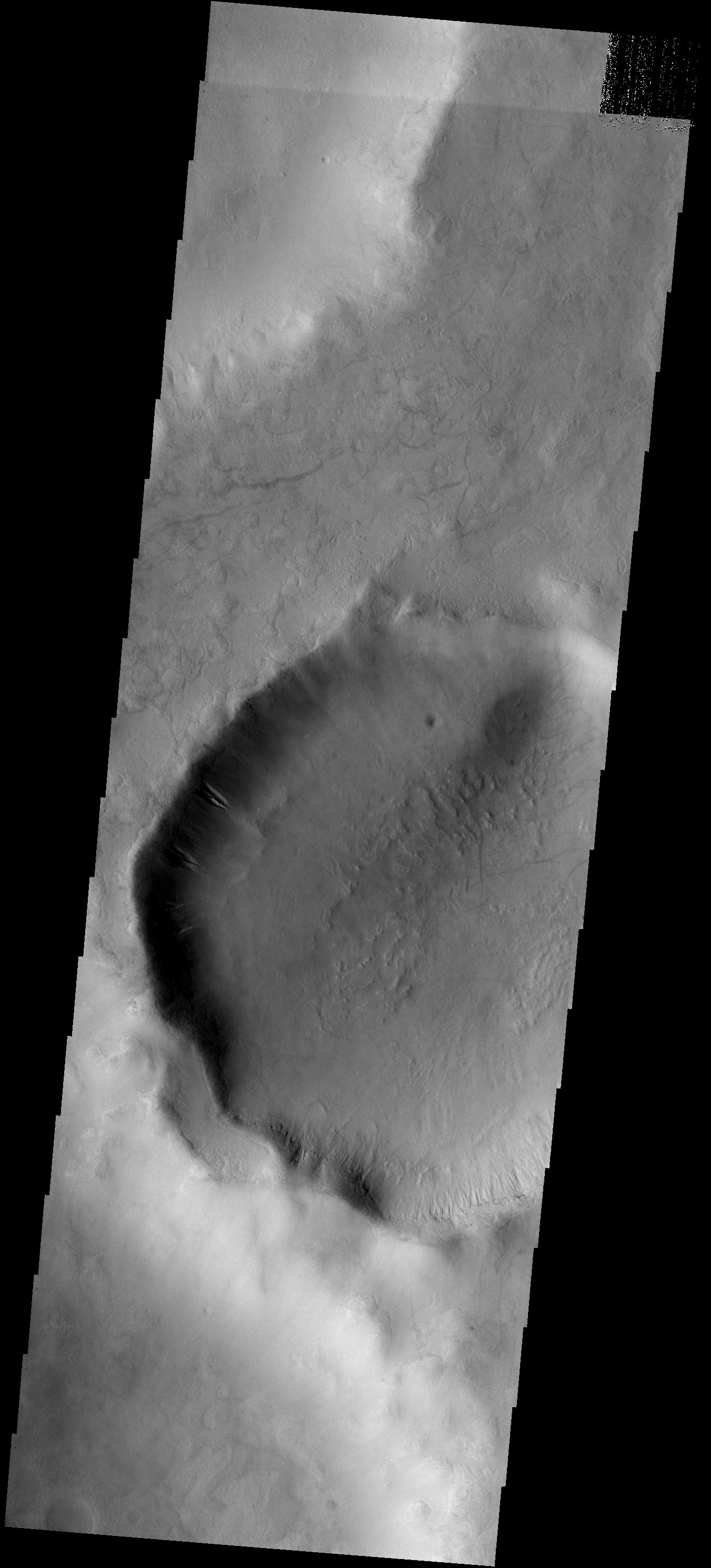
PIA09465:
Not Quite Round
Full Resolution:
TIFF
(3.958 MB)
JPEG
(312.3 kB)
2007-08-24
Mars
2001 Mars Odyssey
THEMIS
1356x2936x1
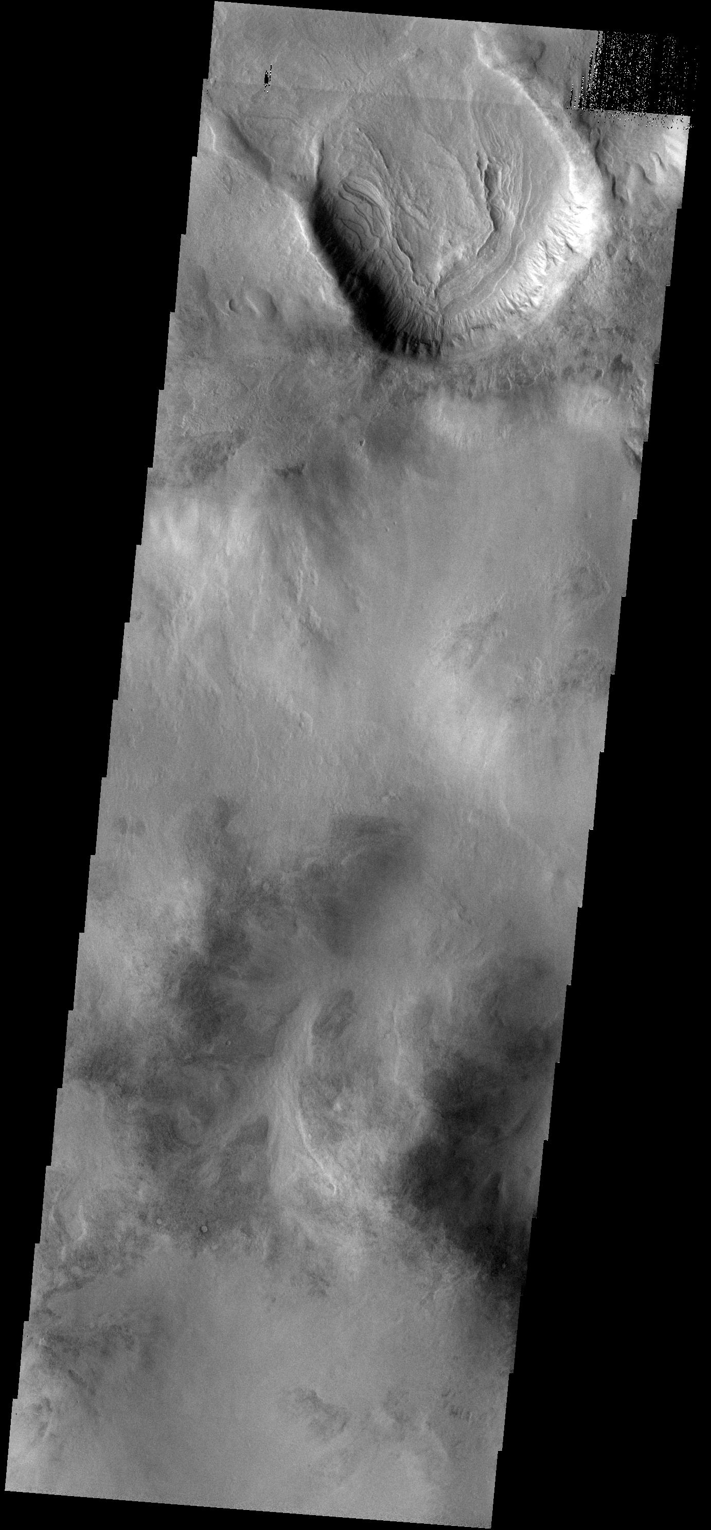
PIA09466:
Landslides
Full Resolution:
TIFF
(3.985 MB)
JPEG
(257.1 kB)
2007-08-24
Mars
Mars Exploration Rover (MER)
Hazcam
1024x1024x1
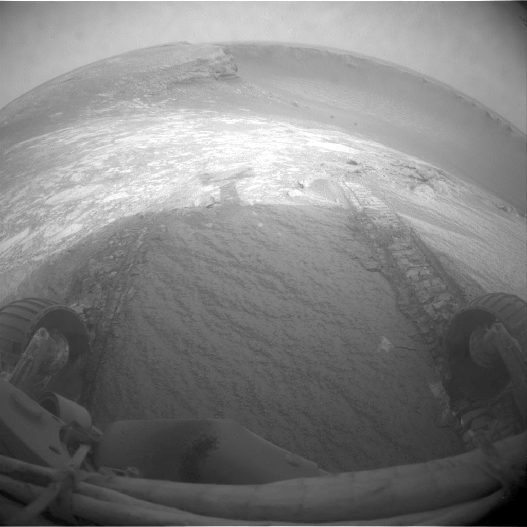
PIA09963:
After Opportunity's First Drive in Six Weeks
Full Resolution:
TIFF
(1.05 MB)
JPEG
(110.2 kB)
2007-08-24
Mars
Mars Reconnaissance Orbiter (MRO)
HiRISE
2048x4426x1
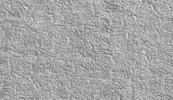
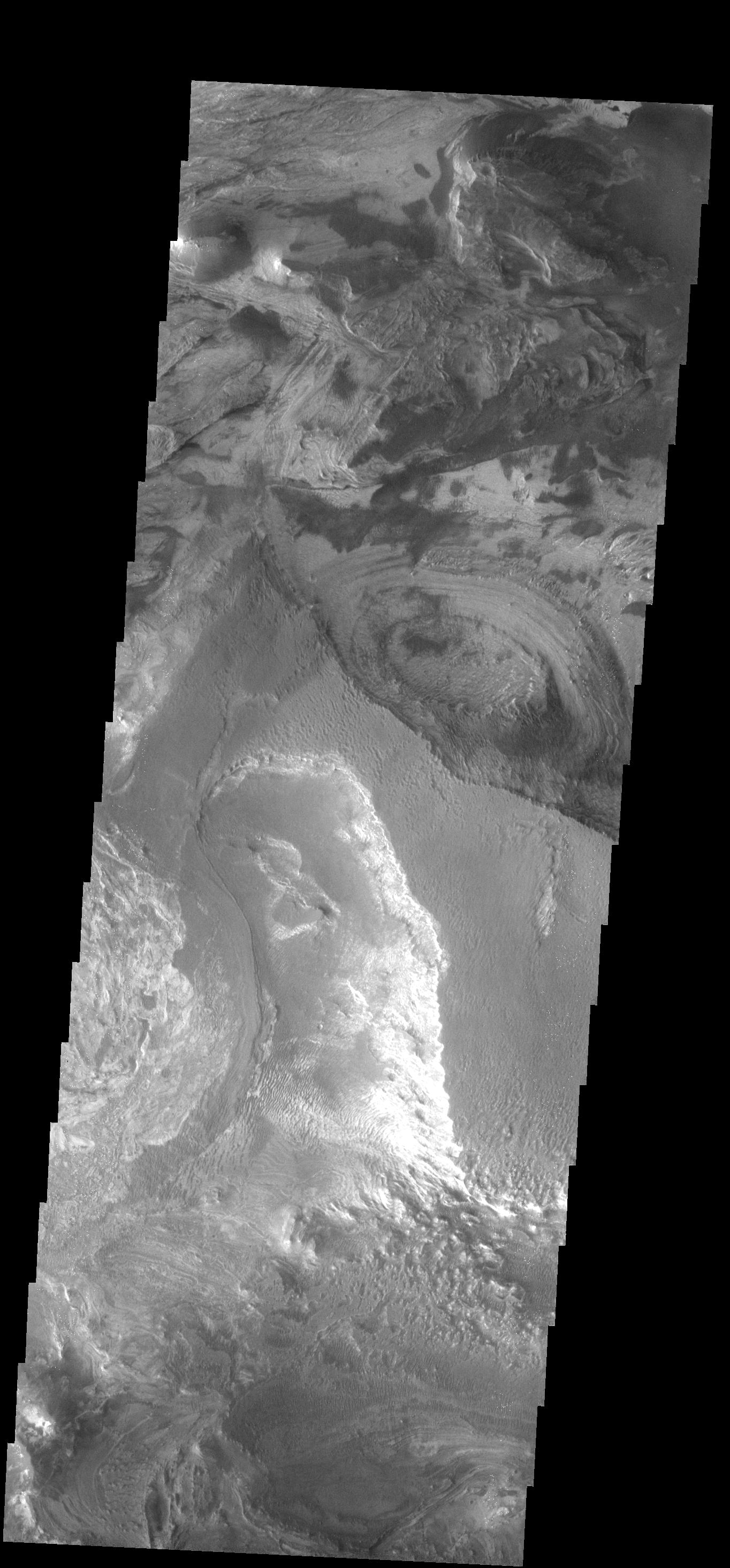
PIA09964:
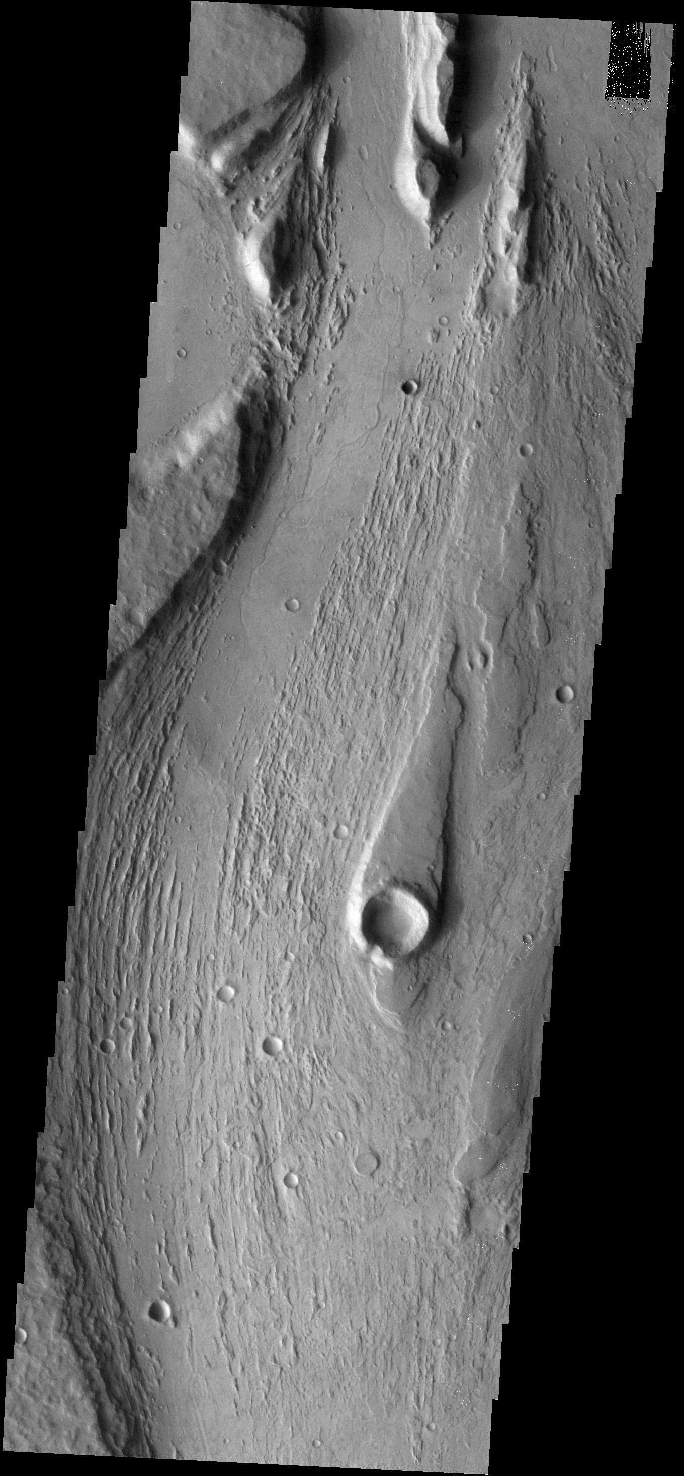
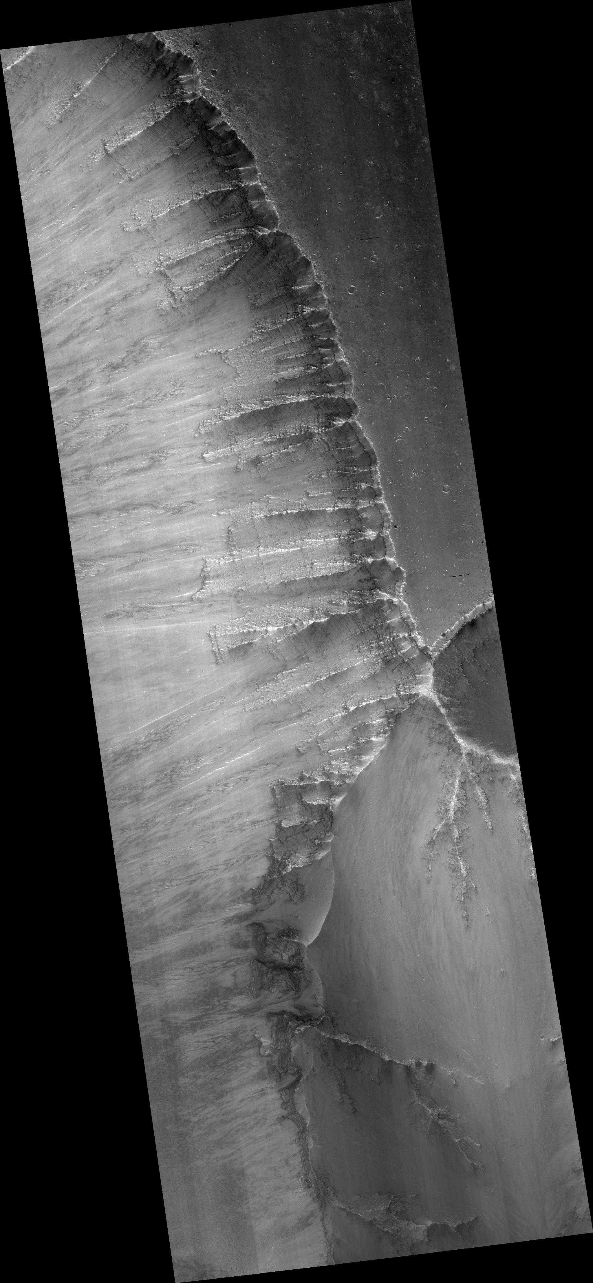
Exposed Layers in Central Valles Marineris
Full Resolution:
TIFF
(9.074 MB)
JPEG
(789.4 kB)
2007-08-27
Mars
2001 Mars Odyssey
THEMIS
1347x2933x1
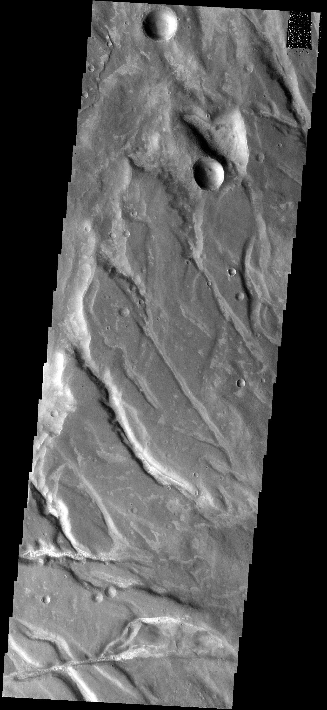
PIA09467:
Ejecta Modification
Full Resolution:
TIFF
(3.955 MB)
JPEG
(486.6 kB)
2007-08-28
Mars
2001 Mars Odyssey
THEMIS
1325x2919x1
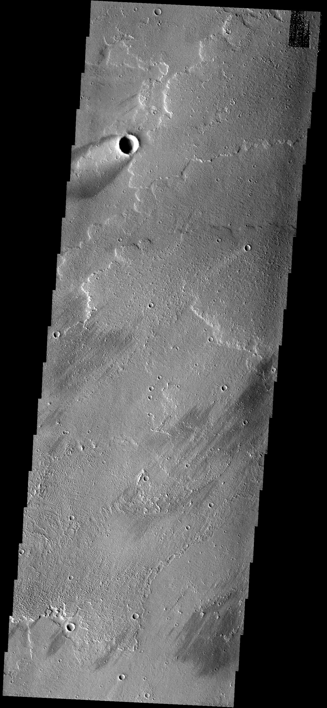
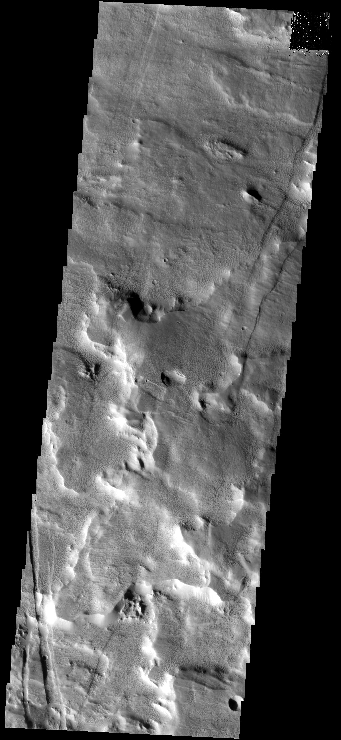
PIA09468:
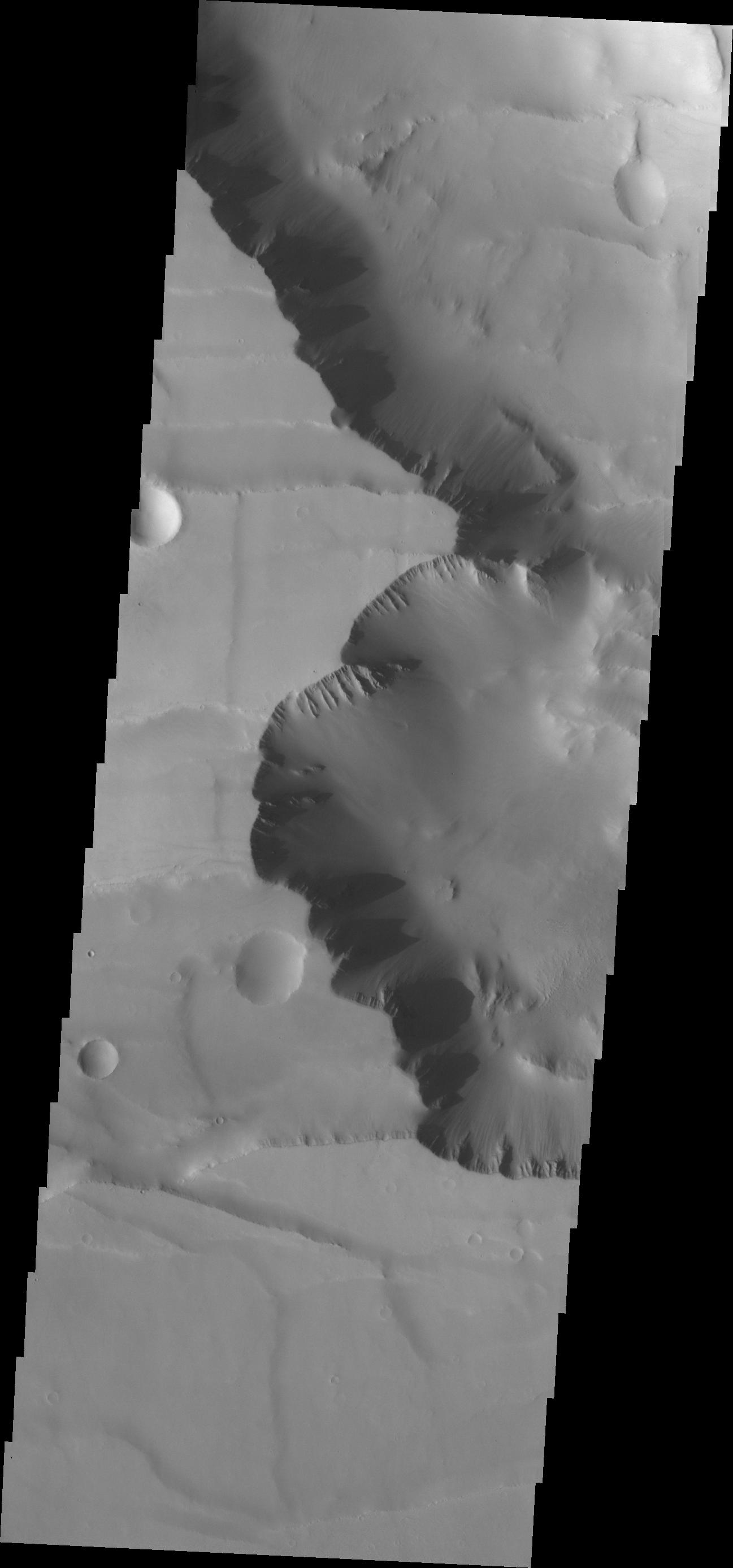
Noctis Labyrinthus
Full Resolution:
TIFF
(3.872 MB)
JPEG
(151.3 kB)
2007-08-29
Mars
2001 Mars Odyssey
THEMIS
1307x2925x1
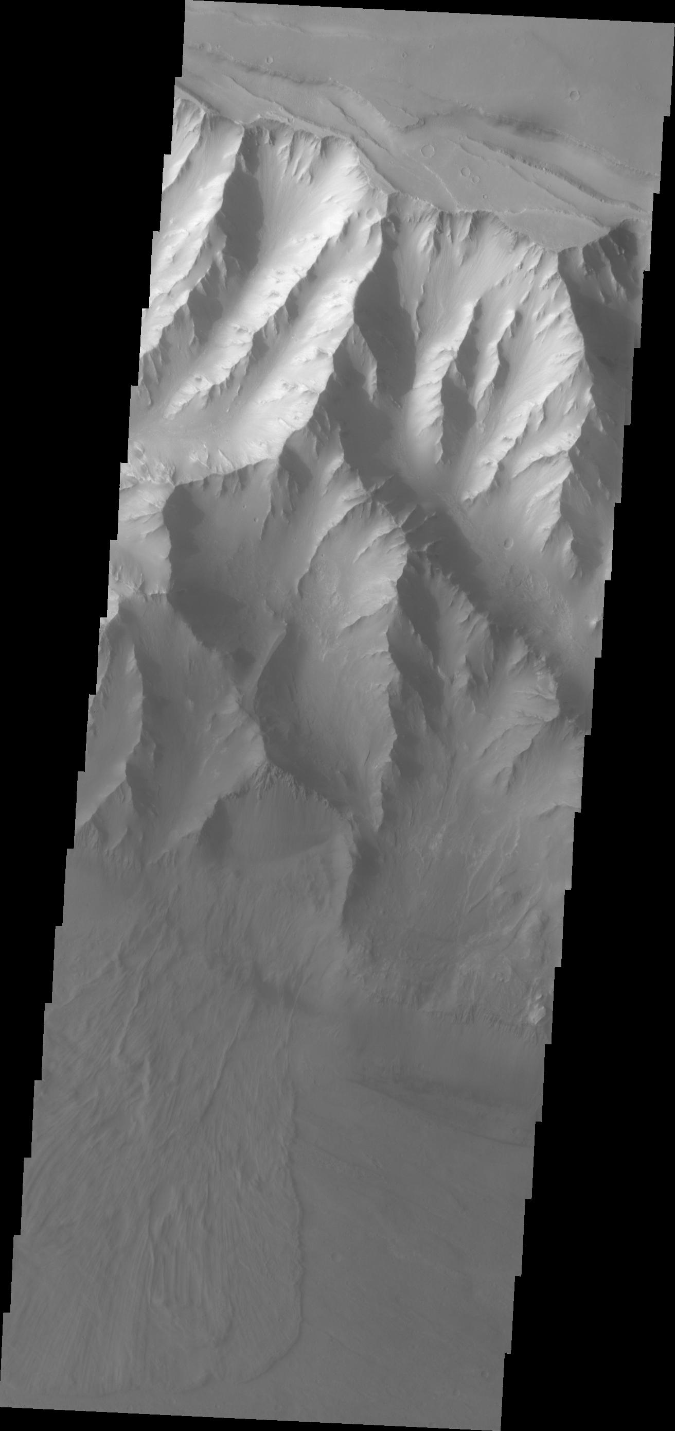
PIA09469:
More Noctis
Full Resolution:
TIFF
(3.827 MB)
JPEG
(179.9 kB)
2007-08-30
Mars
2001 Mars Odyssey
THEMIS
1300x2774x1
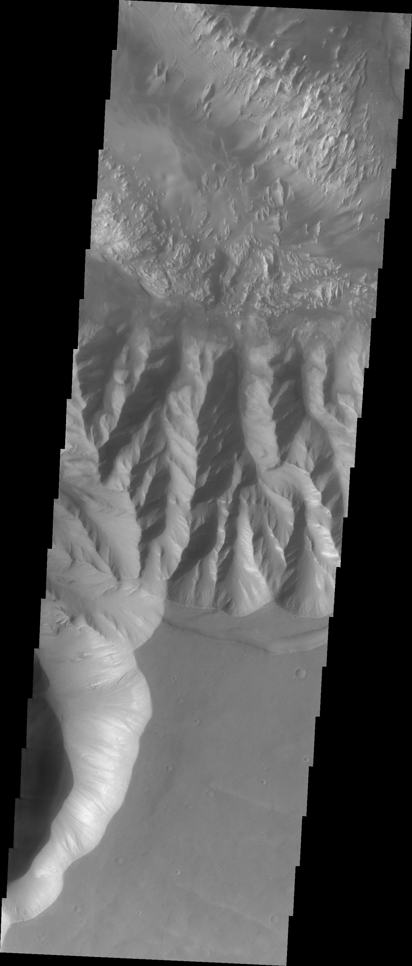
PIA09981:
Another Noctis
Full Resolution:
TIFF
(3.61 MB)
JPEG
(134.1 kB)
2007-08-31
Mars
2001 Mars Odyssey
THEMIS
1297x2775x1
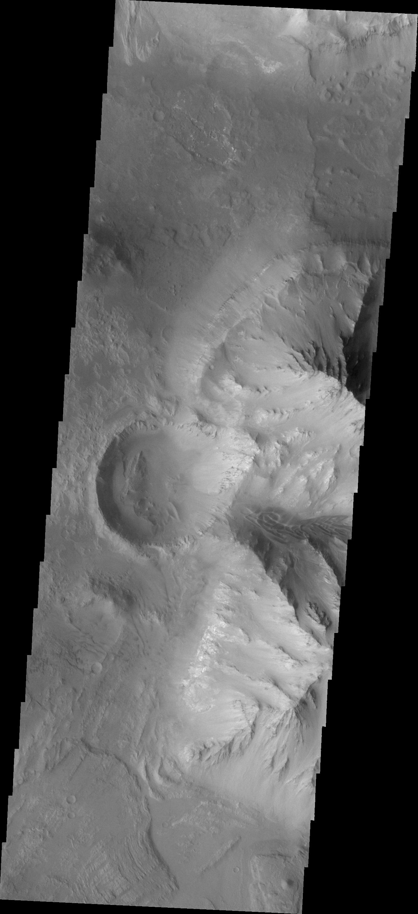
PIA09975:
Final Noctis
Full Resolution:
TIFF
(3.603 MB)
JPEG
(146.5 kB)
2007-09-03
Mars
2001 Mars Odyssey
THEMIS
1319x2778x1
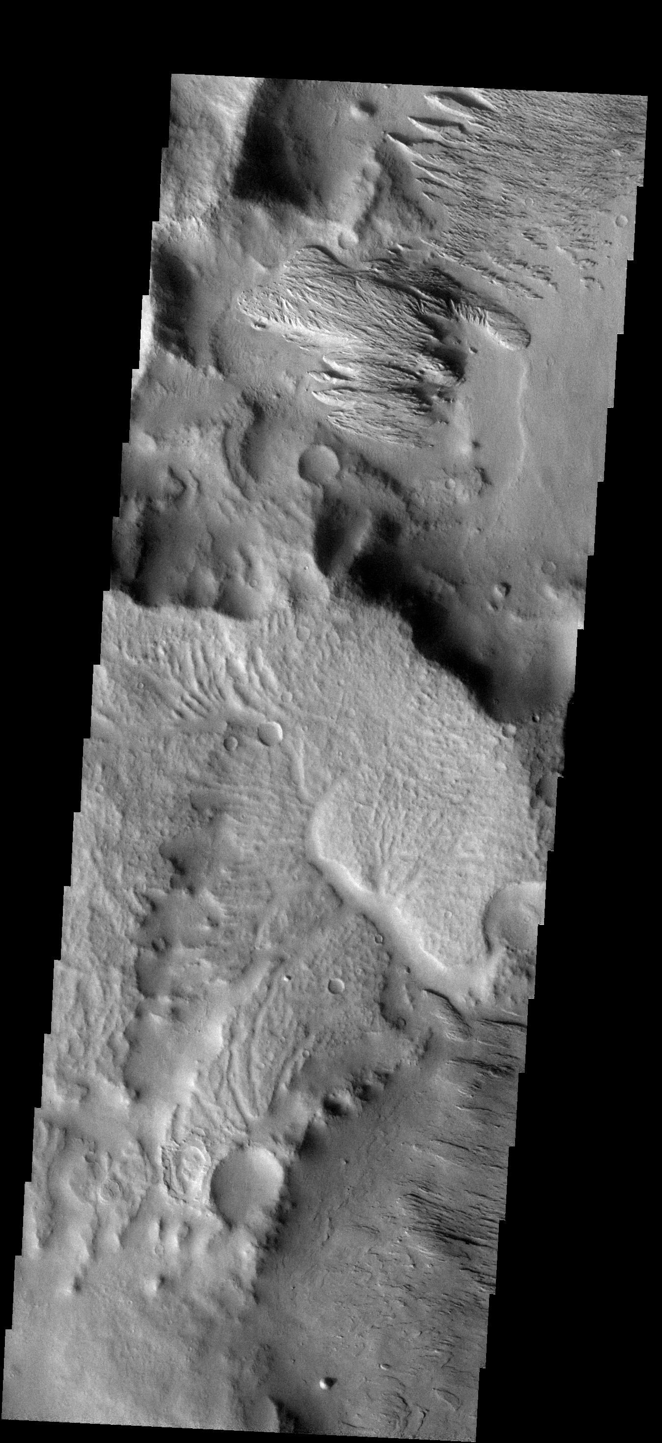
PIA09976:
Ophir Chasma
Full Resolution:
TIFF
(3.668 MB)
JPEG
(338.1 kB)
2007-09-04
Mars
2001 Mars Odyssey
THEMIS
1311x2777x1
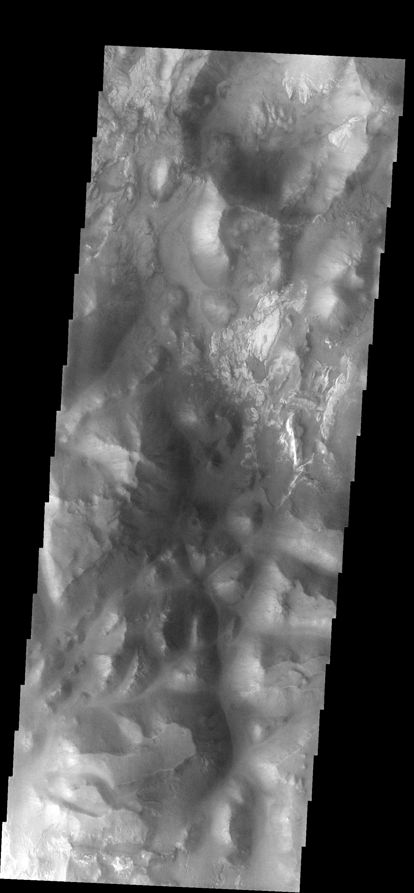
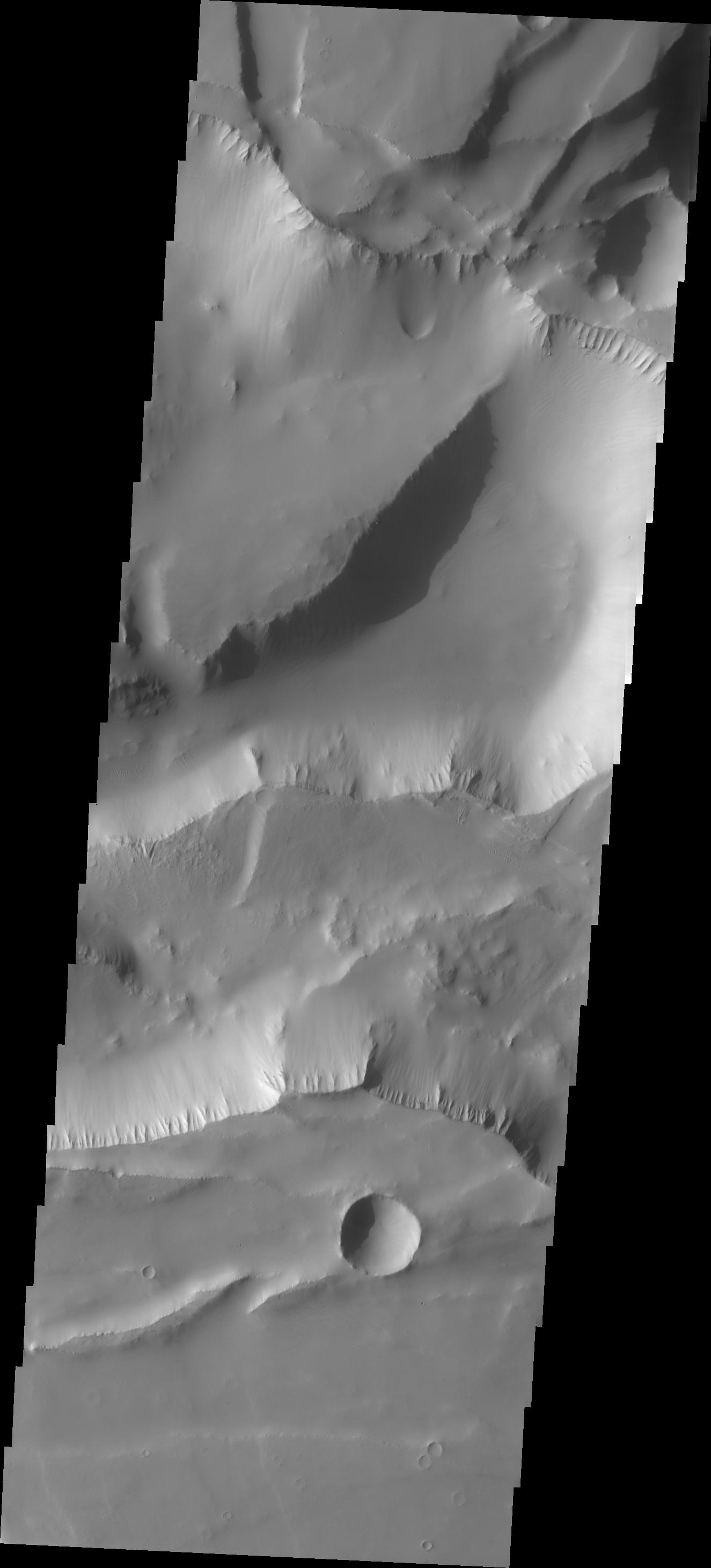
PIA09977:
Candor Chasma
Full Resolution:
TIFF
(3.645 MB)
JPEG
(190.6 kB)
2007-09-05
Mars
2001 Mars Odyssey
THEMIS
1312x2779x1
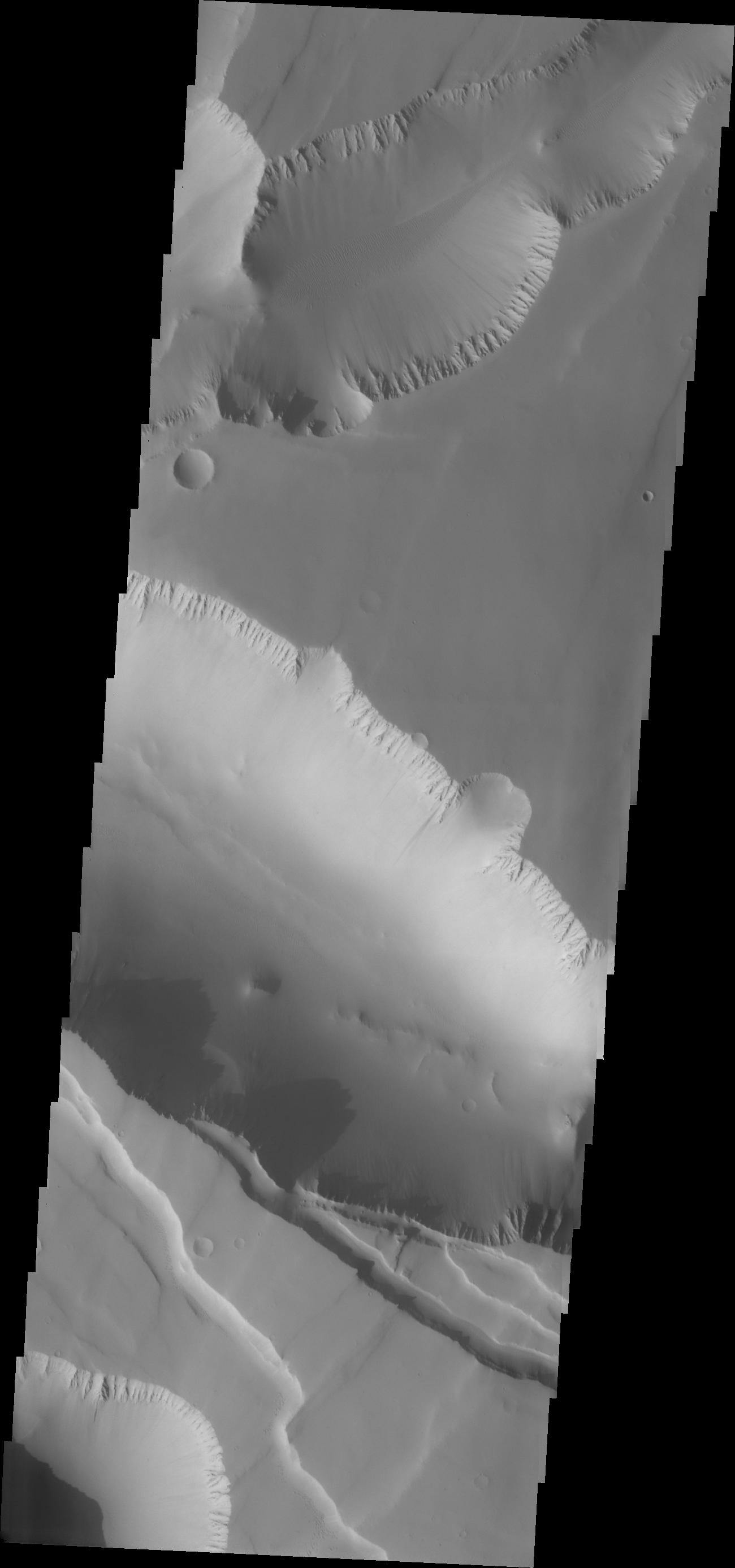
PIA09982:
Coprates Chasma
Full Resolution:
TIFF
(3.65 MB)
JPEG
(167.7 kB)
2007-09-06
Mars
2001 Mars Odyssey
THEMIS
1378x3230x1
PIA09979:
Hebes Chasma
Full Resolution:
TIFF
(4.456 MB)
JPEG
(233 kB)
2007-09-07
Mars
2001 Mars Odyssey
THEMIS
1343x2933x1
PIA09980:
Ius Chasma
Full Resolution:
TIFF
(3.943 MB)
JPEG
(290.6 kB)
2007-09-07
Mars
Mars Exploration Rover (MER)
Navigation Camera
7688x1575x1
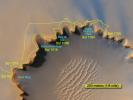
PIA09971:
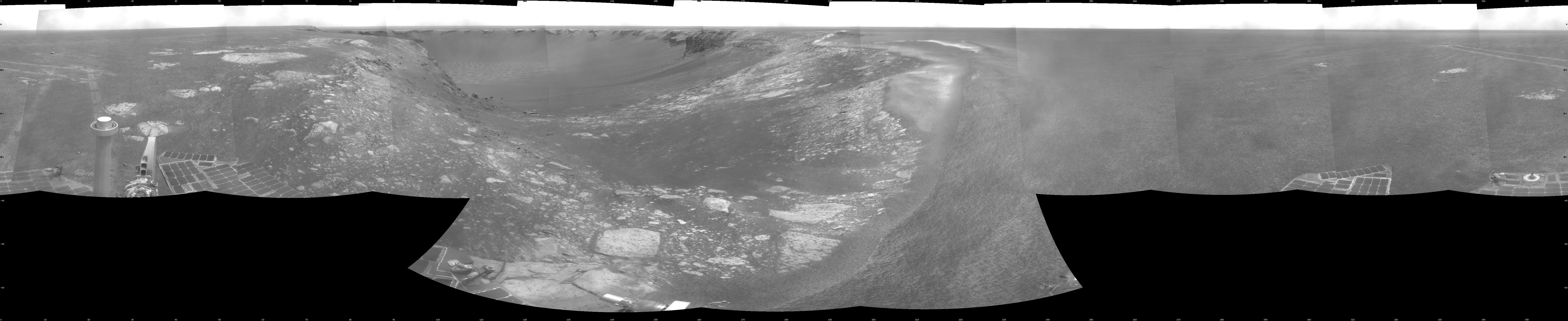
Forty Meters from Entry to Victoria Crater
Full Resolution:
TIFF
(12.12 MB)
JPEG
(937 kB)
2007-09-07
Mars
Mars Exploration Rover (MER)
Navigation Camera
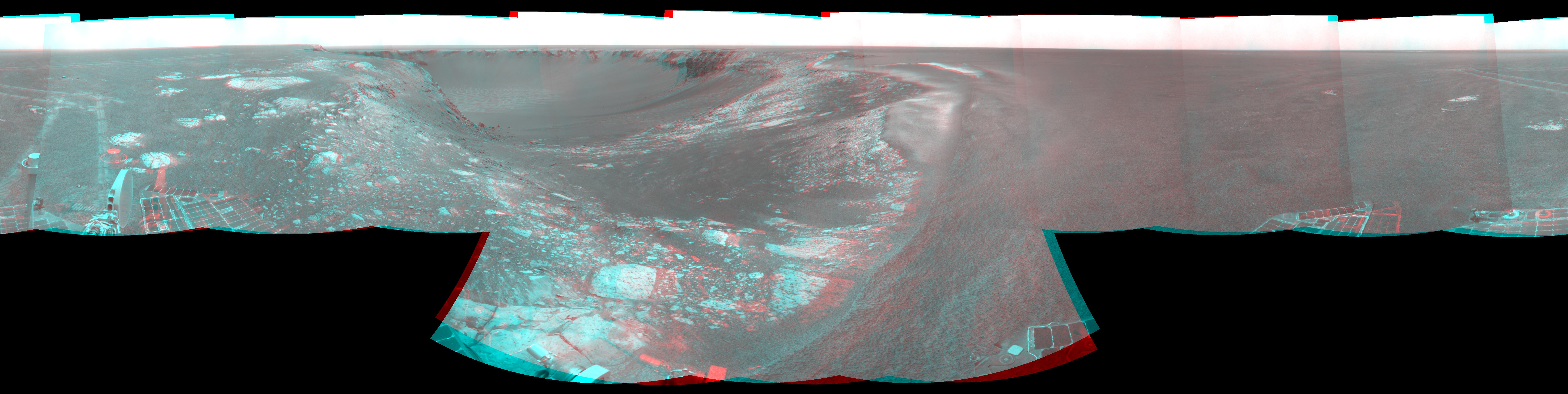
7753x1949x3
PIA09972:
Forty Meters from Entry to Victoria Crater (Stereo)
Full Resolution:
TIFF
(45.33 MB)
JPEG
(1.248 MB)
2007-09-07
Mars
Mars Exploration Rover (MER)
Navigation Camera
4093x4093x1
PIA09973:
Forty Meters from Entry to Victoria Crater (Polar)
Full Resolution:
TIFF
(16.77 MB)
JPEG
(1.093 MB)
2007-09-07
Mars
Mars Exploration Rover (MER)
Navigation Camera
4000x4000x1
PIA09974:
Forty Meters from Entry to Victoria Crater (Vertical)
Full Resolution:
TIFF
(16.02 MB)
JPEG
(1.071 MB)
2007-09-10
Mars
2001 Mars Odyssey
THEMIS
1382x3227x1
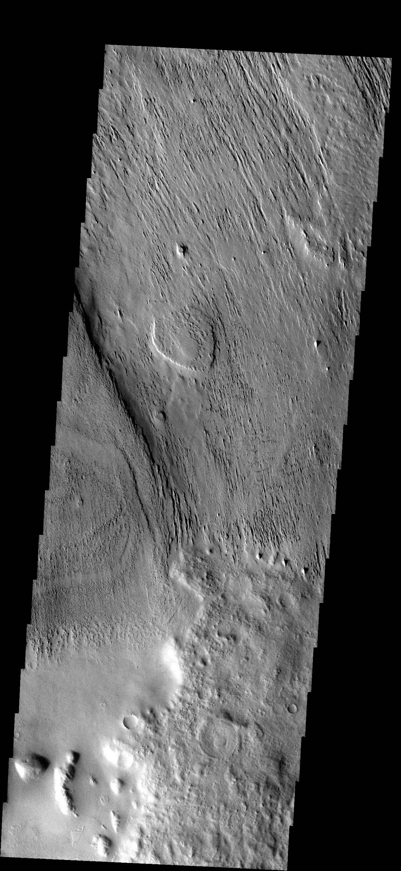
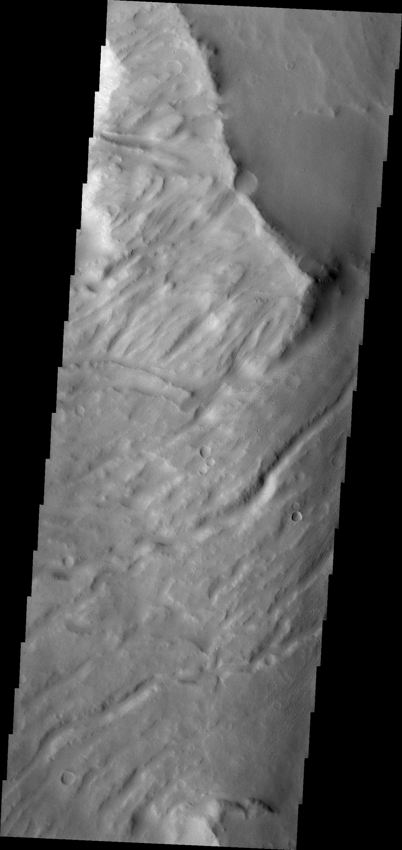
PIA09983:
Apollinaris Patera
Full Resolution:
TIFF
(4.465 MB)
JPEG
(357 kB)
2007-09-11
Mars
2001 Mars Odyssey
THEMIS
1333x2928x1
PIA09984:
Apollinaris Patera
Full Resolution:
TIFF
(3.907 MB)
JPEG
(369.4 kB)
2007-09-11
Mars
Mars Reconnaissance Orbiter (MRO)
CRISM
1448x1550x3
PIA10073:
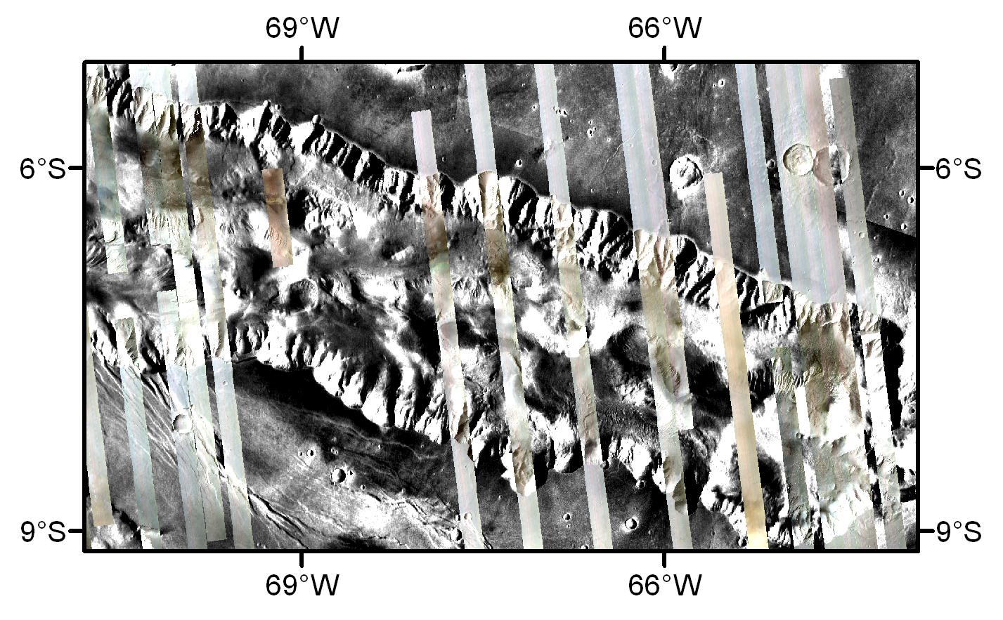
Nili Fossae in Natural Color and Across the Spectrum
Full Resolution:
TIFF
(6.746 MB)
JPEG
(298.6 kB)
2007-09-12
Mars
2001 Mars Odyssey
THEMIS
1328x2776x1
PIA09985:
More Apollinaris
Full Resolution:
TIFF
(3.69 MB)
JPEG
(438.4 kB)
2007-09-12
Mars
Mars Exploration Rover (MER)
Hazcam
1024x1024x1
PIA09924:
Opportunity's First Dip into Victoria Crater
Full Resolution:
TIFF
(1.05 MB)
JPEG
(89.53 kB)
2007-09-13
Mars
2001 Mars Odyssey
THEMIS
1313x2775x1
PIA09986:
Another Apollinaris
Full Resolution:
TIFF
(3.648 MB)
JPEG
(317.7 kB)
1-100
101-200
201-300
301-400
401-500
501-600
601-700
701-800
801-900
901-1000
Currently displaying images:
5161 - 5260
of 12723


