Your search criteria found
12718
images
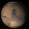
Target is Mars
Go to PIAxxxxx:
Refine this list of images by:
Target:
Mars
Sun
Titan
Vesta
Mission:
2001 Mars Odyssey
Antarctic Meteorite Location and Mapping Project (AMLAMP)
Cassini-Huygens
Dawn
ExoMars
Hubble Space Telescope
InSight
MAVEN
Mariner Mars 1964 (Mariner 4)
Mariner Mars 1969 (Mariner 7)
Mariner Mars 1971 (Mariner 9)
Mars 2020
Mars 2020 Rover
Mars Atmosphere and Volatile Evolution MissioN (MAVEN)
Mars Climate Orbiter
Mars Cube One (MarCO)
Mars Exploration Rover (MER)
Mars Express (MEX)
Mars Global Surveyor (MGS)
Mars Helicopter
Mars Pathfinder (MPF)
Mars Reconnaissance Orbiter (MRO)
Mars Sample Return
Mars Sample Return (MSR)
Mars Science Laboratory (MSL)
Phoenix
Rosetta
Viking
Spacecraft:
2001 Mars Odyssey
Curiosity
Dawn
InSight Mars Lander
Ingenuity
MAVEN
MarCO-B
Mariner 4
Mariner 7
Mariner 9
Mars Climate Orbiter
Mars Express (MEX)
Mars Express (MEX) Orbiter
Mars Global Surveyor Orbiter
Mars Pathfinder Lander
Mars Pathfinder Rover
Mars Reconnaissance Orbiter (MRO)
Mars Sample Return
Mars Science Laboratory (MSL)
NASA's Mars Pathfinder Lander
Opportunity
Perseverance
Philae Lander
Phoenix Lander
Phoenix Mars Lander
Spirit
Viking Lander 1
Viking Lander 2
Viking Orbiter 1
Viking Orbiter 2
Instrument:
Alpha Particle X-ray Spectrometer
Alpha Particle X-ray Spectrometer (MSL)
Atmospheric Structure / Meteorology Instrument
CHIMRA
Camera 1
Camera 2
Chemistry & Mineralogy (CheMin)
Chemistry and Camera (ChemCam)
Comet Infrared and Visible Analyser (CIVA
Compact Reconnaissance Imaging Spectrometer for Mars (CRISM)
Context Camera (CTX)
Deep Space Network
Descent Image Motion Estimation System (DIMES)
Dynamic Albedo of Neutrons
Dynamic Albedo of Neutrons (DAN)
Gamma Ray Spectrometer - Neutron Spectrometer
Gamma Ray Spectrometer Suite
Hazard Avoidance Camera
Hazard Avoidance Camera (M2020)
Hazard Avoidance Camera (MSL)
Heat and Physical Properties Package (HP3)
High Resolution Imaging Science Experiment (HiRISE)
High Resolution Instrument (HRI)
High Resolution Stereo Camera
Imager for Mars Pathfinder
Imaging Science Subsystem
Imaging Ultraviolet Spectrograph
Imaging Ultraviolet Spectrograph (IUVS)
Instrument Context Camera (ICC)
Instrument Deployment Camera (IDC)
Lander Vision System Camera (LCAM)
Magnetometer
Mars Advanced Radar for Subsurface and Ionosphere Sounding (MARSIS)
Mars Advanced Radar for Subsurface and Ionospheric Sounding (MARSIS)
Mars Climate Sounder (MCS)
Mars Color Imager (MARCI)
Mars Descent Imager
Mars Environmental Dynamics Analyzer (MEDA)
Mars Hand Lens Imager (MAHLI)
Mars Horizon Sensor Assembly
Mars Orbiter Camera (MOC)
Mars Orbiter Laser Altimeter
Mars Radiation Experiment
Mastcam
Mastcam-Z
Microscopic Imager
Microscopy Electrochemistry and Conductivity Analyzer (MECA)
Miniature Thermal Emission Spectrometer
Moessbauer Spectrometer
Navigation Camera
Navigation Camera (M2020)
Navigation Camera (MSL)
Neutral Gas and Ion Mass Spectrometer
Neutron Spectrometer
Optical Microscope
Panoramic Camera
Planetary Instrument for X-ray Lithochemistry (PIXL)
Radar System
Radiation Assessment Detector (RAD)
Radio Science Subsystem
Robotic Arm
Robotic Arm (MSL)
Robotic Arm Camera (RAC)
Rock Abrasion Tool (RAT)
Rover Cameras
Rover Environmental Monitoring Station (REMS)
Sample Analysis at Mars (SAM)
Scanning Habitable Environments with Raman & Luminescence for Organics and Chemicals (SHERLOC)
Seismic Experiment for Interior Structure (SEIS)
Shallow Subsurface Radar (SHARAD)
Stereo Imager (SSI)
SuperCam
Surface Stereo Imager (SSI)
Thermal Emission Imaging System
Thermal Emission Spectrometer
Thermal and Electrical Conductivity Probe
Thermal and Evolved Gas Analyzer
Trace Gas Orbiter
Visual Imaging Subsystem
Visual Imaging Subsystem - Camera A
Visual Imaging Subsystem - Camera B
Wide Field Planetary Camera 2
Click on an image for detailed information
Click on a column heading to sort in ascending or descending order
My
List
Addition Date
Target
Mission
Instrument
Size
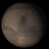
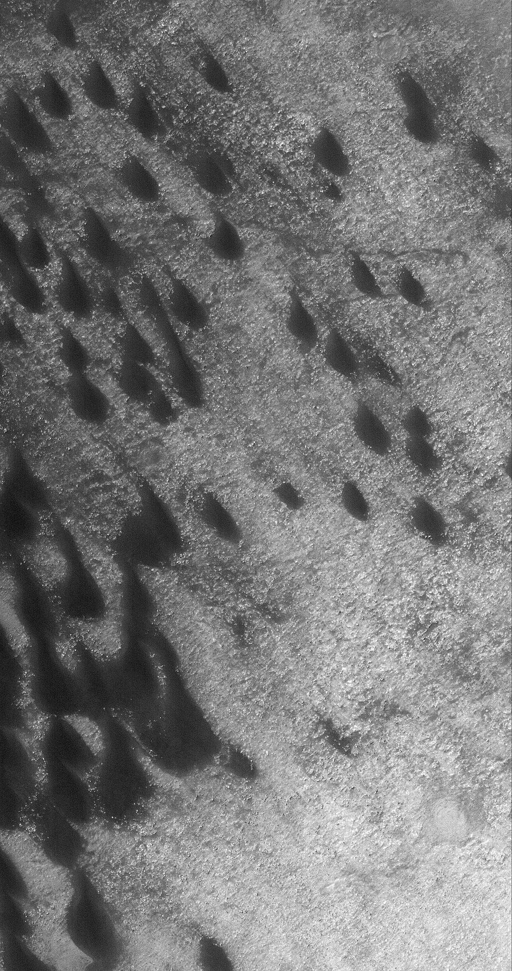
2005-12-11
Mars
Mars Global Surveyor (MGS)
Mars Orbiter Camera (MOC)
672x1608x1
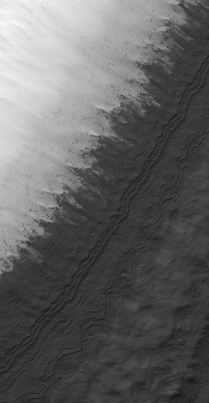
PIA03630:
West Candor Rocks
Full Resolution:
TIFF
(1.082 MB)
JPEG
(347.6 kB)
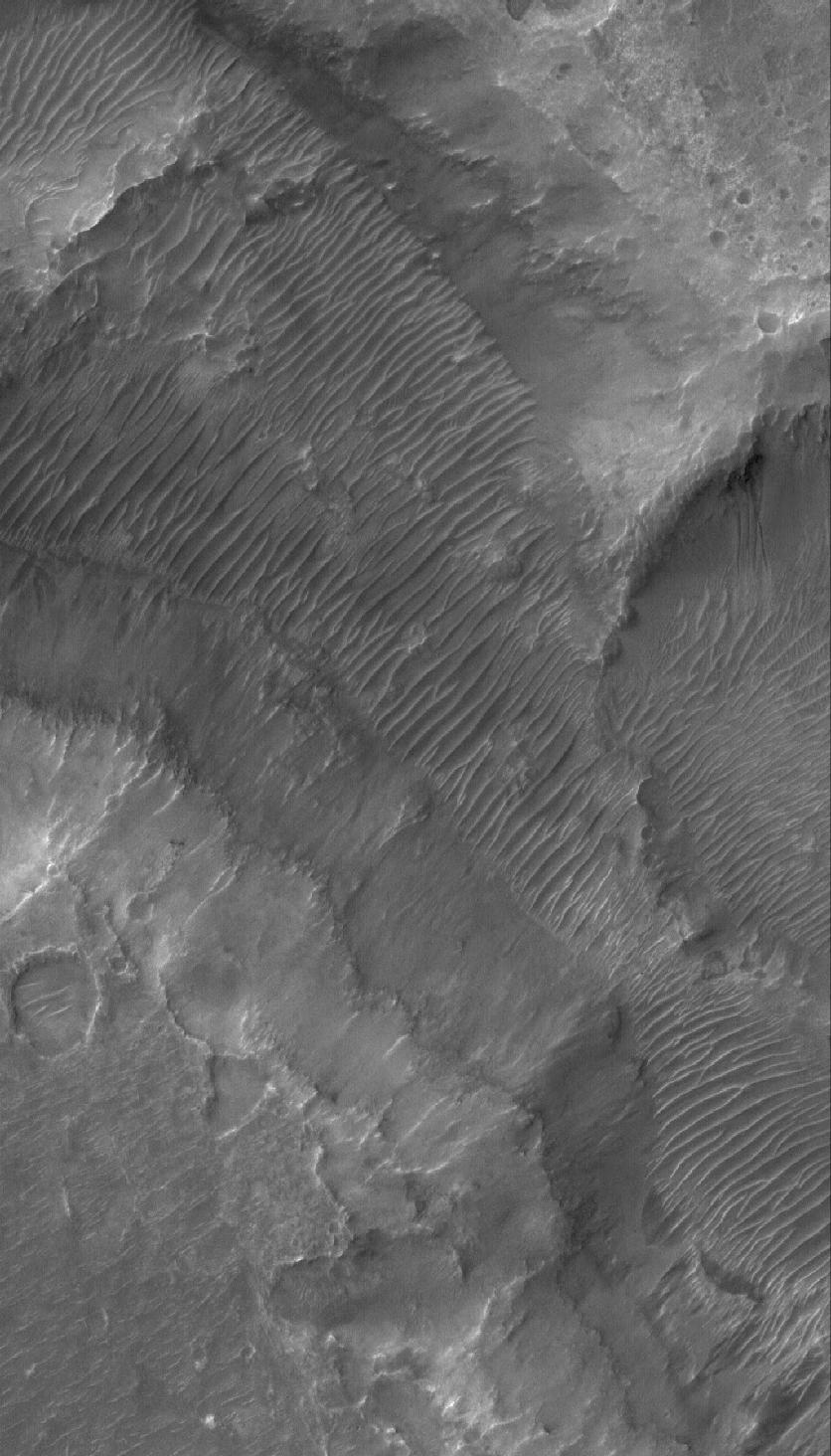
2005-12-12
Mars
2001 Mars Odyssey
THEMIS
1375x2980x1
PIA03637:
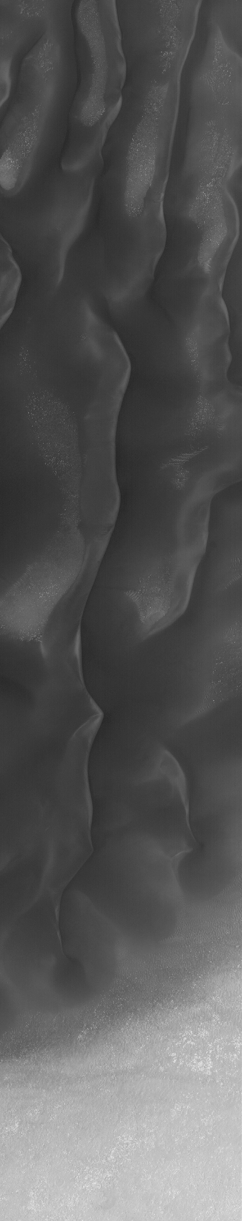
Galle Cr. Dunes
Full Resolution:
TIFF
(4.102 MB)
JPEG
(367.4 kB)
2005-12-12
Mars
Mars Global Surveyor (MGS)
Mars Orbiter Camera (MOC)
672x1934x1
PIA03631:
Banded Argyre
Full Resolution:
TIFF
(1.301 MB)
JPEG
(213.6 kB)
2005-12-13
Mars
2001 Mars Odyssey
THEMIS
1008x2945x1
PIA03638:
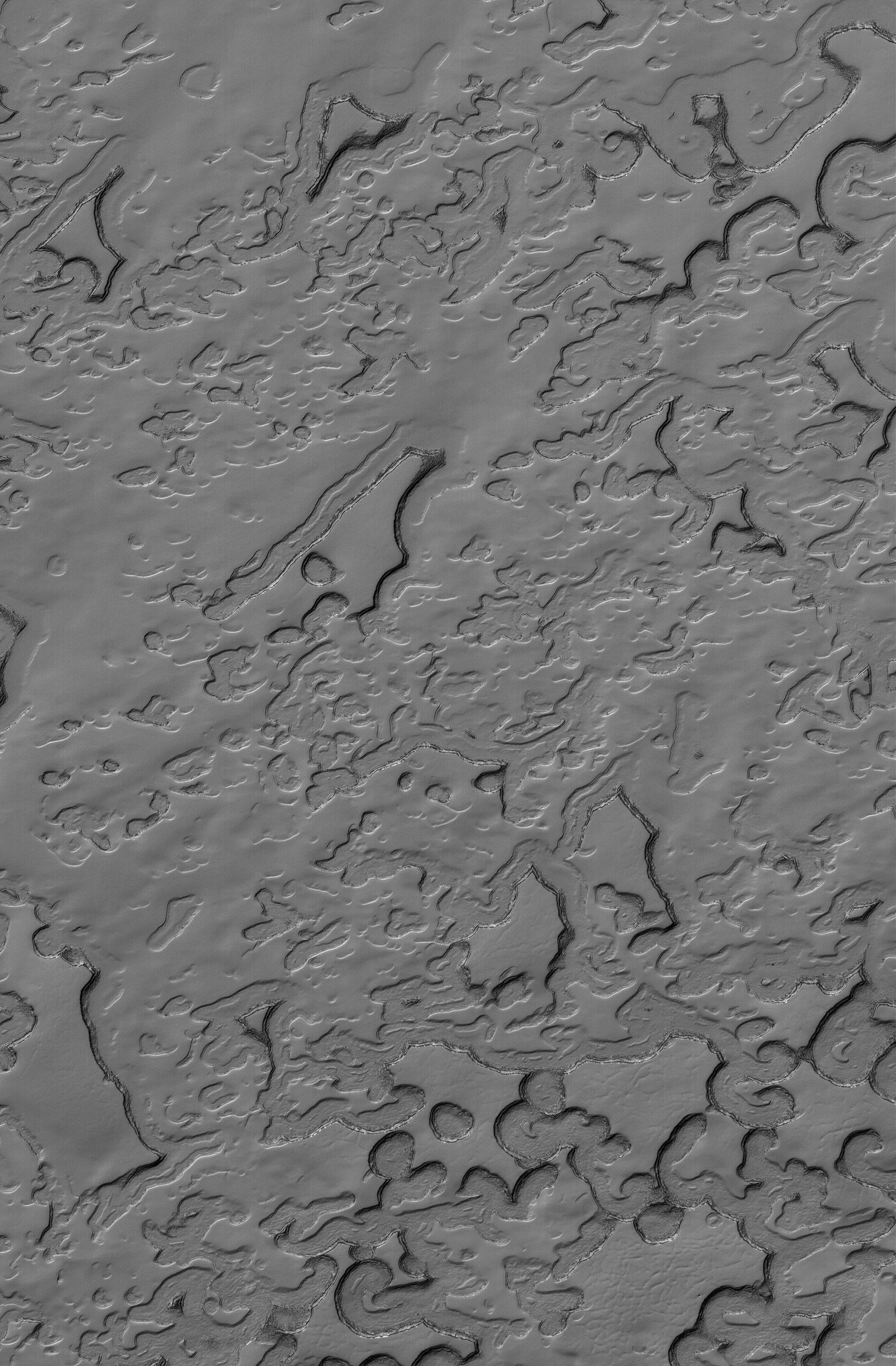
Polar Textures
Full Resolution:
TIFF
(2.972 MB)
JPEG
(694.1 kB)
2005-12-13
Mars
Mars Global Surveyor (MGS)
Mars Orbiter Camera (MOC)
640x640x3
PIA03639:
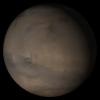
Mars at Ls 341�: Acidalia/Mare Erythraeum
Full Resolution:
TIFF
(411.8 kB)
JPEG
(22.49 kB)
2005-12-14
Mars
Mars Exploration Rover (MER)
Panoramic Camera
22348x3504x3
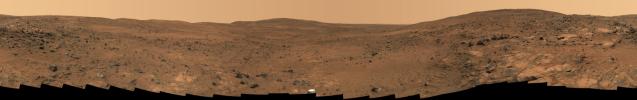
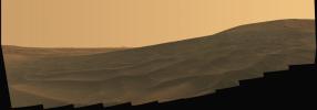
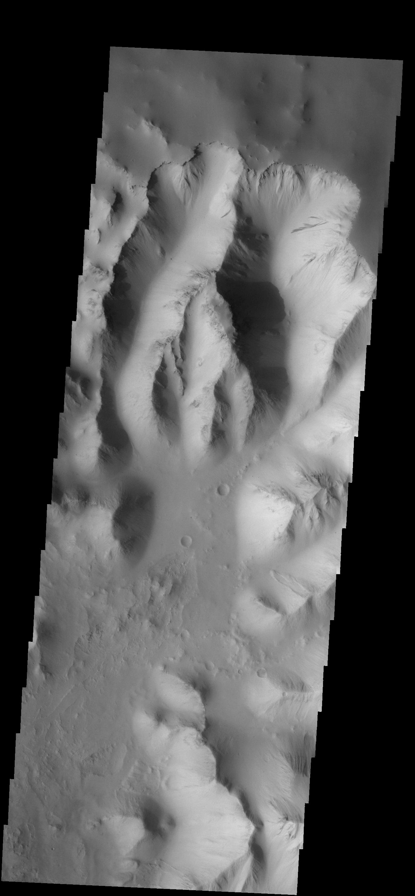
PIA03640:
Descent from the Summit of 'Husband Hill'
Full Resolution:
TIFF
(234.9 MB)
JPEG
(9.508 MB)
QTVR
(10.52 MB)
2005-12-14
Mars
Mars Exploration Rover (MER)
Panoramic Camera
22348x3504x3
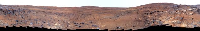
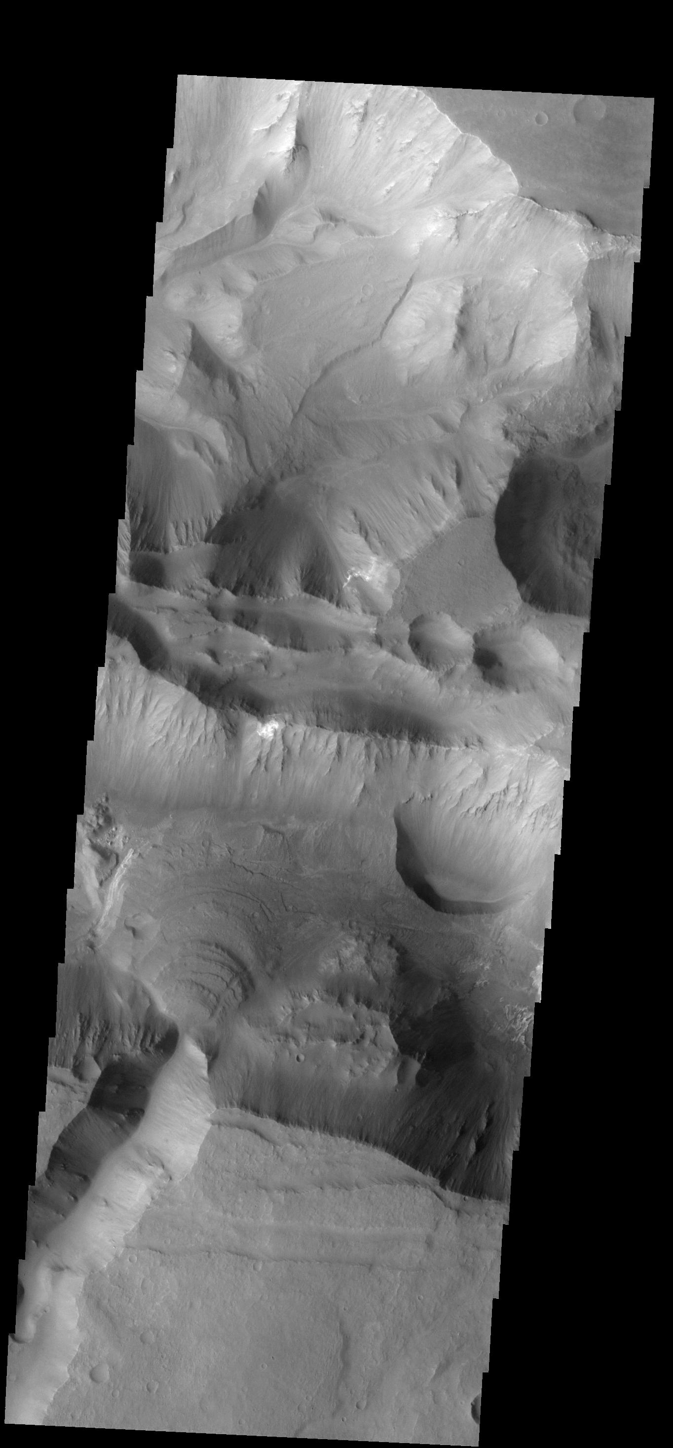
PIA03641:
Descent from the Summit of 'Husband Hill' (False Color)
Full Resolution:
TIFF
(234.9 MB)
JPEG
(13.1 MB)
2005-12-14
Mars
Mars Global Surveyor (MGS)
Mars Orbiter Camera (MOC)
1024x2128x1
PIA03642:
Dust Devil Art
Full Resolution:
TIFF
(2.181 MB)
JPEG
(592.7 kB)
2005-12-14
Mars
2001 Mars Odyssey
THEMIS
1376x2986x1
PIA03645:
Brashear Cr. Dunes
Full Resolution:
TIFF
(4.114 MB)
JPEG
(322.1 kB)
2005-12-15
Mars
Mars Global Surveyor (MGS)
Mars Orbiter Camera (MOC)
1024x3248x1
PIA03643:
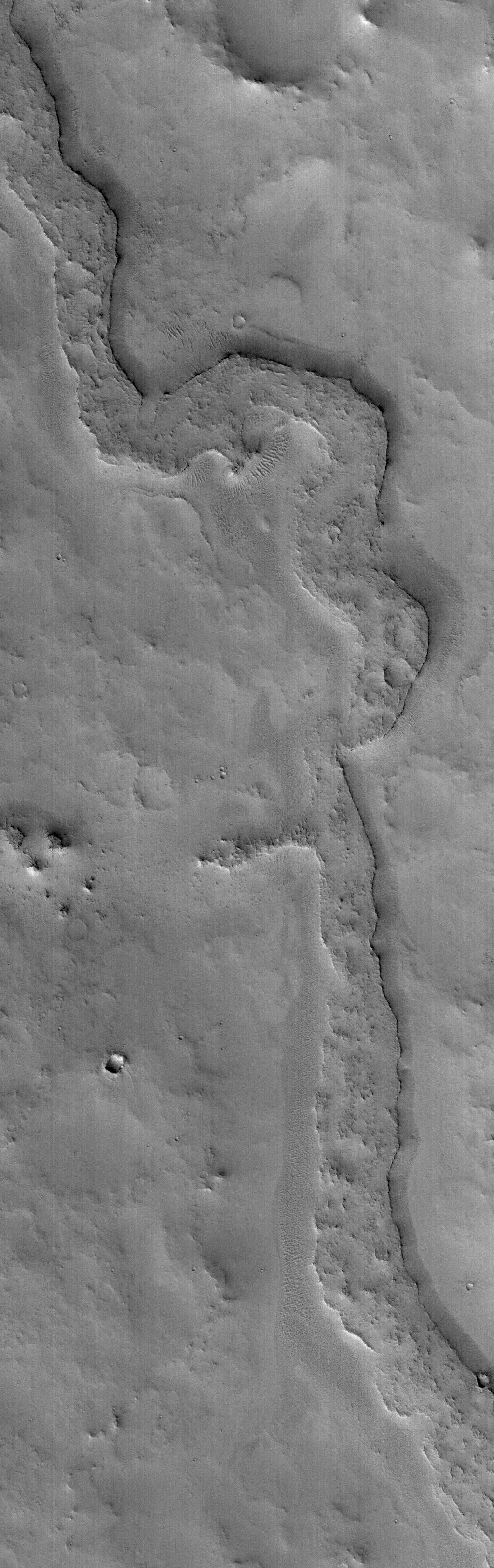
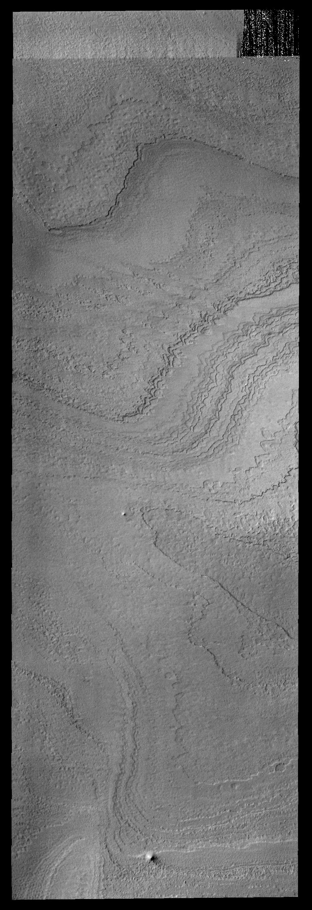
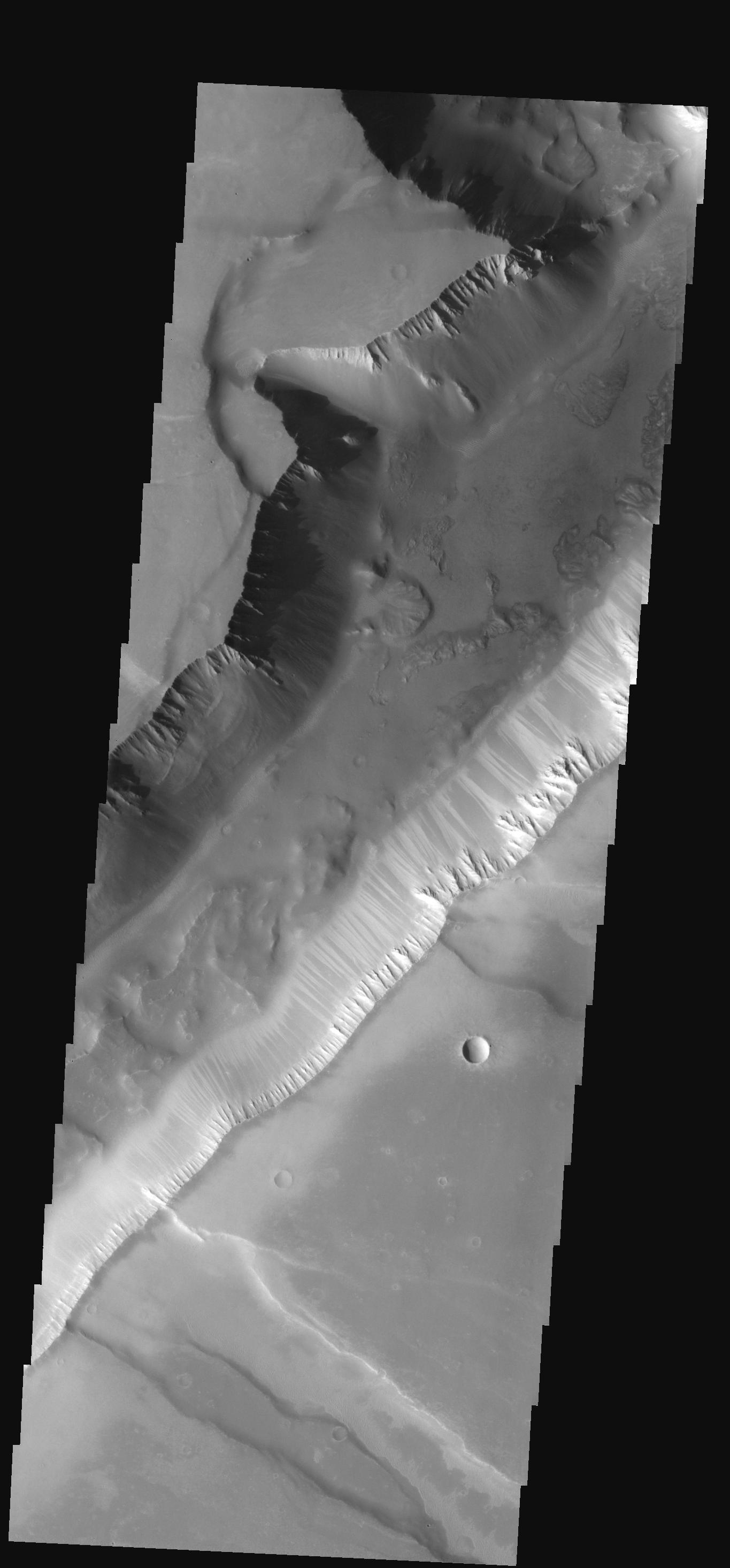
Inverted Valley
Full Resolution:
TIFF
(3.329 MB)
JPEG
(535 kB)
2005-12-15
Mars
2001 Mars Odyssey
THEMIS
1084x3088x1
PIA03646:
Polar Textures
Full Resolution:
TIFF
(3.351 MB)
JPEG
(615.8 kB)
2005-12-16
Mars
2001 Mars Odyssey
THEMIS
1237x2737x1
PIA03647:
Ascraeus Mons
Full Resolution:
TIFF
(3.39 MB)
JPEG
(604.1 kB)
2005-12-16
Mars
Mars Global Surveyor (MGS)
Mars Orbiter Camera (MOC)
836x1838x1
PIA03644:
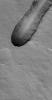
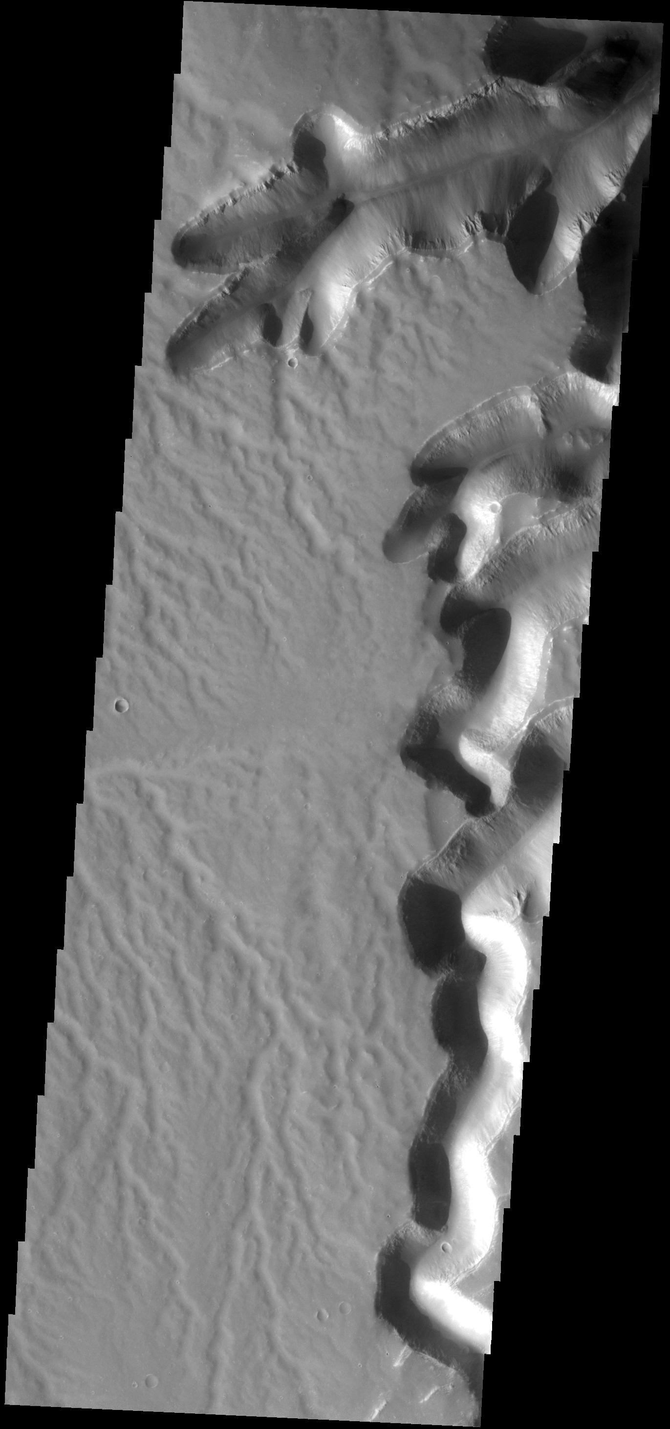
Marte Vallis
Full Resolution:
TIFF
(1.538 MB)
JPEG
(274.2 kB)
2005-12-17
Mars
Mars Global Surveyor (MGS)
Mars Orbiter Camera (MOC)
2048x2928x1
PIA03649:
Polar Features
Full Resolution:
TIFF
(6.003 MB)
JPEG
(1.596 MB)
2005-12-18
Mars
Mars Global Surveyor (MGS)
Mars Orbiter Camera (MOC)
512x869x1
PIA03650:
Meridiani Scene
Full Resolution:
TIFF
(445.6 kB)
JPEG
(98.6 kB)
2005-12-19
Mars
2001 Mars Odyssey
THEMIS
1237x2755x1
PIA03648:
Students' Target
Full Resolution:
TIFF
(3.412 MB)
JPEG
(270.6 kB)
2005-12-19
Mars
Mars Global Surveyor (MGS)
Mars Orbiter Camera (MOC)
1024x1896x1
PIA03651:
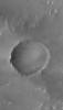
Double Impact
Full Resolution:
TIFF
(1.944 MB)
JPEG
(677.2 kB)
2005-12-20
Mars
Mars Global Surveyor (MGS)
Mars Orbiter Camera (MOC)
640x640x3
PIA03256:
Mars at Ls 341�: Syrtis Major
Full Resolution:
TIFF
(411.8 kB)
JPEG
(22.78 kB)
2005-12-20
Mars
2001 Mars Odyssey
THEMIS
1364x2924x1
PIA03280:
Shalbatana Vallis
Full Resolution:
TIFF
(3.992 MB)
JPEG
(341.6 kB)
2005-12-21
Mars
Mars Global Surveyor (MGS)
Mars Orbiter Camera (MOC)
365x491x1
PIA03257:
Eyes of Ganges
Full Resolution:
TIFF
(179.6 kB)
JPEG
(43.26 kB)
2005-12-21
Mars
2001 Mars Odyssey
THEMIS
1365x2929x1
PIA03281:
Canyon Variety
Full Resolution:
TIFF
(4.002 MB)
JPEG
(320 kB)
2005-12-22
Mars
Mars Global Surveyor (MGS)
Mars Orbiter Camera (MOC)
512x851x1
PIA03258:
Copernicus Dunes
Full Resolution:
TIFF
(436.4 kB)
JPEG
(106 kB)
2005-12-22
Mars
2001 Mars Odyssey
THEMIS
1387x2922x1
PIA03282:
Tharsis Tholus
Full Resolution:
TIFF
(4.058 MB)
JPEG
(405.4 kB)
2005-12-23
Mars
Mars Exploration Rover (MER)
Panoramic Camera
10451x1263x3
PIA03250:
Sweeping View of the "Columbia Hills" and Gusev Crater (3-D)
Full Resolution:
TIFF
(39.6 MB)
JPEG
(2.541 MB)
2005-12-23
Mars
Mars Exploration Rover (MER)
Panoramic Camera
13220x3440x3
PIA03251:
Sweeping View of the "Columbia Hills" and Gusev Crater (False Color)
Full Resolution:
TIFF
(136.4 MB)
JPEG
(7.784 MB)
2005-12-23
Mars
Mars Exploration Rover (MER)
Panoramic Camera
13220x3440x3
PIA03252:
Sweeping View of the "Columbia Hills" and Gusev Crater (Approximate True Color)
Full Resolution:
TIFF
(136.4 MB)
JPEG
(5.799 MB)
QTVR
(6.535 MB)
2005-12-23
Mars
Mars Global Surveyor (MGS)
Mars Orbiter Camera (MOC)
2048x4608x1
PIA03259:
Outcrops in Aram
Full Resolution:
TIFF
(9.447 MB)
JPEG
(1.937 MB)
2005-12-23
Mars
2001 Mars Odyssey
THEMIS
1373x2920x1
PIA03283:
Elysium Winds
Full Resolution:
TIFF
(4.014 MB)
JPEG
(662.9 kB)
2005-12-24
Mars
Mars Global Surveyor (MGS)
Mars Orbiter Camera (MOC)
1024x1784x1
PIA03260:
Lonely Crater
Full Resolution:
TIFF
(1.829 MB)
JPEG
(201.6 kB)
2005-12-25
Mars
Mars Global Surveyor (MGS)
Mars Orbiter Camera (MOC)
672x1550x1
PIA03261:
Richardson Dunes
Full Resolution:
TIFF
(1.043 MB)
JPEG
(130 kB)
2005-12-26
Mars
Mars Global Surveyor (MGS)
Mars Orbiter Camera (MOC)
512x1048x1
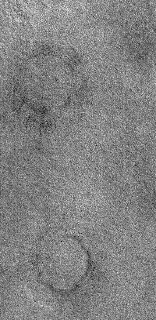
PIA03262:
Buried Craters
Full Resolution:
TIFF
(537.3 kB)
JPEG
(204.3 kB)
2005-12-26
Mars
2001 Mars Odyssey
THEMIS
1373x2922x1
PIA03284:
Wind and Water?
Full Resolution:
TIFF
(4.017 MB)
JPEG
(611.7 kB)
2005-12-27
Mars
Mars Global Surveyor (MGS)
Mars Orbiter Camera (MOC)
640x640x3
PIA03263:
Mars at Ls 341�: Elysium/Mare Cimmerium
Full Resolution:
TIFF
(411.8 kB)
JPEG
(20.63 kB)
2005-12-27
Mars
2001 Mars Odyssey
THEMIS
1349x2931x1
PIA03285:
Ganges Features
Full Resolution:
TIFF
(3.958 MB)
JPEG
(252.3 kB)
2005-12-28
Mars
Mars Global Surveyor (MGS)
Mars Orbiter Camera (MOC)
836x1585x1
PIA03264:
Herschel's Dunes
Full Resolution:
TIFF
(1.327 MB)
JPEG
(134.3 kB)
2005-12-28
Mars
2001 Mars Odyssey
THEMIS
1351x2938x1
PIA03286:
Dissected Surface
Full Resolution:
TIFF
(3.973 MB)
JPEG
(345.2 kB)
2005-12-29
Mars
Mars Global Surveyor (MGS)
Mars Orbiter Camera (MOC)
2048x3968x1
PIA03265:
Ascraeus Depression
Full Resolution:
TIFF
(8.135 MB)
JPEG
(1.745 MB)
2005-12-29
Mars
2001 Mars Odyssey
THEMIS
1353x2935x1
PIA03287:
Windstreak
Full Resolution:
TIFF
(3.975 MB)
JPEG
(767.5 kB)
2005-12-30
Mars
Mars Global Surveyor (MGS)
Mars Orbiter Camera (MOC)
2048x3120x1
PIA03266:
Polar Summer
Full Resolution:
TIFF
(6.396 MB)
JPEG
(1.14 MB)
2005-12-30
Mars
2001 Mars Odyssey
THEMIS
1026x2988x1
PIA03288:
Polar Layers
Full Resolution:
TIFF
(3.069 MB)
JPEG
(503.4 kB)
2005-12-31
Mars
Mars Global Surveyor (MGS)
Mars Orbiter Camera (MOC)
1024x2100x1
PIA03267:
Zephyria Channel
Full Resolution:
TIFF
(2.153 MB)
JPEG
(572.9 kB)
2006-01-01
Mars
Mars Global Surveyor (MGS)
Mars Orbiter Camera (MOC)
1024x1895x1
PIA03268:
Light-toned Rock
Full Resolution:
TIFF
(1.943 MB)
JPEG
(488.4 kB)
2006-01-02
Mars
Mars Global Surveyor (MGS)
Mars Orbiter Camera (MOC)
836x4218x1
PIA03269:
Dunes in Noachis
Full Resolution:
TIFF
(3.53 MB)
JPEG
(369.1 kB)
2006-01-02
Mars
2001 Mars Odyssey
THEMIS
1365x2930x1
PIA03289:
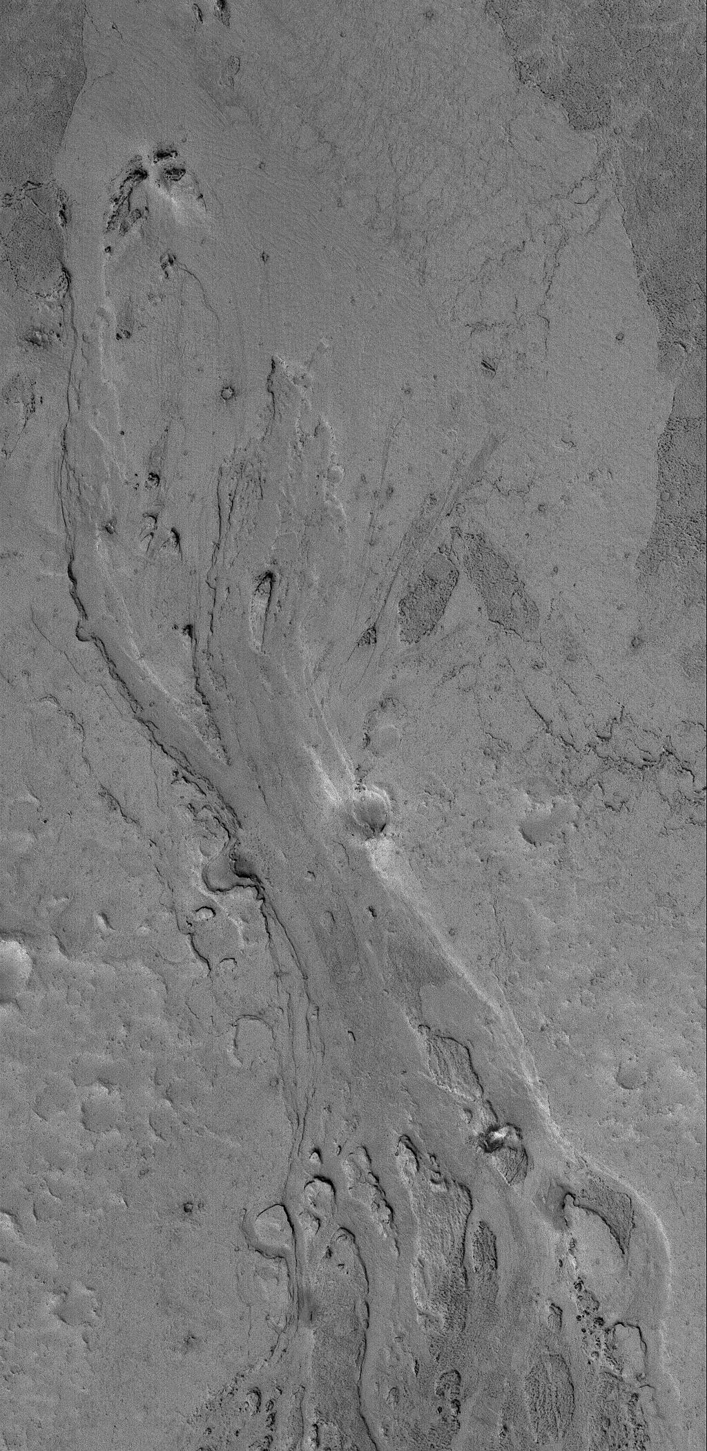
Moving Downhill
Full Resolution:
TIFF
(4.004 MB)
JPEG
(203 kB)
2006-01-03
Mars
2001 Mars Odyssey
THEMIS
1371x2925x1
PIA03290:
Surface Dissection
Full Resolution:
TIFF
(4.015 MB)
JPEG
(244.8 kB)
2006-01-03
Mars
Mars Global Surveyor (MGS)
Mars Exploration Rover (MER)
Mars Orbiter Camera (MOC)
6492x6065x1
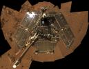
PIA03253:
Spirit Rover on 'Husband Hill'
Full Resolution:
TIFF
(39.42 MB)
JPEG
(4.319 MB)
2006-01-03
Mars
Mars Global Surveyor (MGS)
Mars Exploration Rover (MER)
Mars Orbiter Camera (MOC)
6700x6065x3
PIA03254:
Spirit's Neighborhood in 'Columbia Hills,' in Stereo
Full Resolution:
TIFF
(121.9 MB)
JPEG
(2.885 MB)
2006-01-03
Mars
Mars Global Surveyor (MGS)
Mars Exploration Rover (MER)
Mars Orbiter Camera (MOC)
892x444x1
PIA03255:
Spirit on "Husband Hill," with 2004 Comparison
Full Resolution:
TIFF
(396.7 kB)
JPEG
(45.25 kB)
2006-01-03
Mars
Mars Exploration Rover (MER)
Panoramic Camera
22780x5996x3
PIA03270:
On the Rim of 'Erebus'
Full Resolution:
TIFF
(409.8 MB)
JPEG
(12.06 MB)
QTVR
(13.3 MB)
2006-01-03
Mars
Mars Exploration Rover (MER)
Panoramic Camera
12097x12097x3
PIA03271:
Bird's-Eye View of Opportunity at 'Erebus' (Polar)
Full Resolution:
TIFF
(439 MB)
JPEG
(9.879 MB)
2006-01-04
Mars
Mars Exploration Rover (MER)
Panoramic Camera
6515x5052x3
PIA03272:
Still Shining After All This Time (Vertical)
Full Resolution:
TIFF
(98.74 MB)
JPEG
(2.741 MB)
2006-01-04
Mars
Mars Exploration Rover (MER)
Panoramic Camera
10000x10000x3
PIA03273:
Bird's-Eye View of Opportunity at 'Erebus' (Vertical)
Full Resolution:
TIFF
(300 MB)
JPEG
(7.594 MB)
2006-01-04
Mars
Mars Exploration Rover (MER)
Panoramic Camera
9706x3399x3
PIA03274:
Intricately Rippled Sand Deposits
Full Resolution:
TIFF
(98.97 MB)
JPEG
(1.63 MB)
QTVR
(1.836 MB)
2006-01-04
Mars
Mars Exploration Rover (MER)
Panoramic Camera
11627x11627x3
PIA03275:
Still Shining After All This Time (Polar)
Full Resolution:
TIFF
(405.6 MB)
JPEG
(10.19 MB)
2006-01-04
Mars
Mars Global Surveyor (MGS)
Mars Orbiter Camera (MOC)
640x640x3
PIA03276:
Mars at Ls 357�: Tharsis
Full Resolution:
TIFF
(411.8 kB)
JPEG
(33.94 kB)
2006-01-04
Mars
2001 Mars Odyssey
THEMIS
541x1557x1
PIA03291:
Frost-free Dunes
Full Resolution:
TIFF
(843.4 kB)
JPEG
(52.62 kB)
2006-01-05
Mars
Mars Global Surveyor (MGS)
Mars Orbiter Camera (MOC)
672x1318x1
PIA03277:
Martian Artwork
Full Resolution:
TIFF
(886.8 kB)
JPEG
(206.5 kB)
2006-01-05
Mars
2001 Mars Odyssey
THEMIS
1358x2939x1
PIA03292:
Millochau Cr.
Full Resolution:
TIFF
(3.995 MB)
JPEG
(485.8 kB)
2006-01-06
Mars
Mars Global Surveyor (MGS)
Mars Orbiter Camera (MOC)
672x1056x1
PIA03278:
Polar Layers
Full Resolution:
TIFF
(710.6 kB)
JPEG
(207.4 kB)
2006-01-06
Mars
Mars Exploration Rover (MER)
Panoramic Camera
1016x1024x1
PIA03279:
'Festoon' Pattern in Meridiani Outcrop
Full Resolution:
TIFF
(1.042 MB)
JPEG
(319.1 kB)
2006-01-06
Mars
2001 Mars Odyssey
THEMIS
1370x2970x1
PIA03293:
Proctor Cr. Dunes
Full Resolution:
TIFF
(4.074 MB)
JPEG
(252.8 kB)
2006-01-07
Mars
Mars Global Surveyor (MGS)
Mars Orbiter Camera (MOC)
1024x1664x1
PIA03655:
Secondaries near Cerberus
Full Resolution:
TIFF
(1.706 MB)
JPEG
(499.3 kB)
2006-01-08
Mars
Mars Global Surveyor (MGS)
Mars Orbiter Camera (MOC)
1024x1940x1
PIA03656:
Dunes in Brashear
Full Resolution:
TIFF
(1.989 MB)
JPEG
(621.8 kB)
2006-01-09
Mars
Mars Global Surveyor (MGS)
Mars Orbiter Camera (MOC)
836x1464x1
PIA03657:
Nirgal Vallis
Full Resolution:
TIFF
(1.225 MB)
JPEG
(163.1 kB)
2006-01-09
Mars
2001 Mars Odyssey
THEMIS
1351x2940x1
PIA03658:
Lava Flows
Full Resolution:
TIFF
(3.976 MB)
JPEG
(599.6 kB)
2006-01-10
Mars
Mars Global Surveyor (MGS)
Mars Orbiter Camera (MOC)
640x640x3
PIA03659:
Mars at Ls 357�: Acidalia/Mare Erythraeum
Full Resolution:
TIFF
(411.8 kB)
JPEG
(39.75 kB)
2006-01-10
Mars
2001 Mars Odyssey
THEMIS
1032x2860x1
PIA03662:
Polar Ridges
Full Resolution:
TIFF
(2.955 MB)
JPEG
(239.5 kB)
2006-01-11
Mars
Mars Global Surveyor (MGS)
Mars Orbiter Camera (MOC)
2048x3672x1
PIA03660:
Eos Chaos Rocks
Full Resolution:
TIFF
(7.528 MB)
JPEG
(671.1 kB)
2006-01-11
Mars
2001 Mars Odyssey
THEMIS
1365x2926x1
PIA03663:
Sabis Vallis
Full Resolution:
TIFF
(3.998 MB)
JPEG
(547.4 kB)
2006-01-12
Mars
Mars Global Surveyor (MGS)
Mars Orbiter Camera (MOC)
640x1536x1
PIA03661:
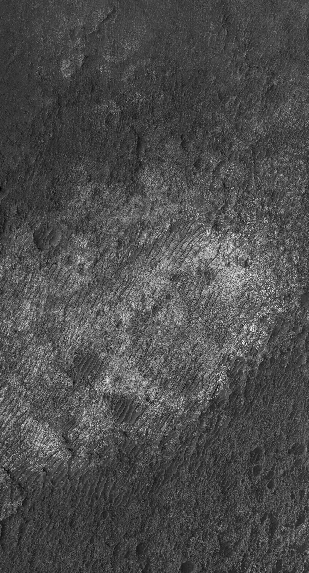
Aeolis Yardangs
Full Resolution:
TIFF
(984.3 kB)
JPEG
(267.4 kB)
2006-01-12
Mars
2001 Mars Odyssey
THEMIS
1195x2773x1
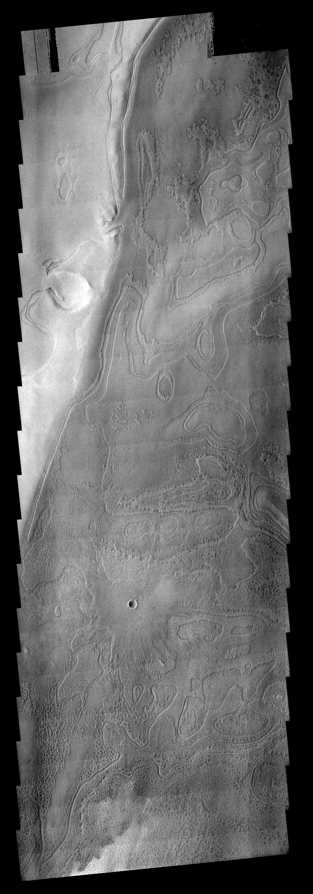
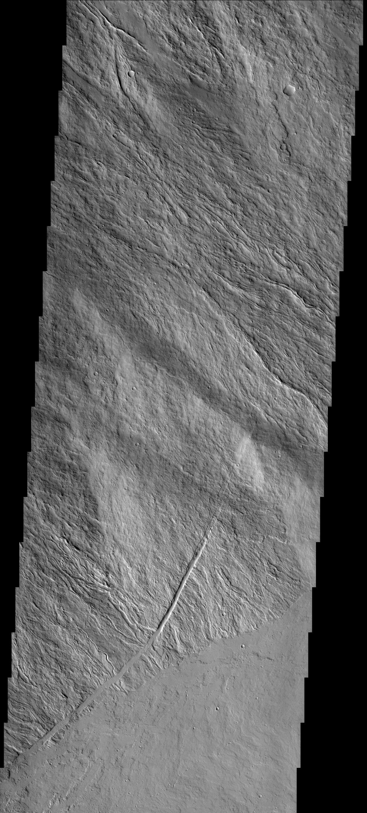
PIA03664:
Valley Divide
Full Resolution:
TIFF
(3.318 MB)
JPEG
(396.5 kB)
2006-01-13
Mars
Mars Global Surveyor (MGS)
Mars Orbiter Camera (MOC)
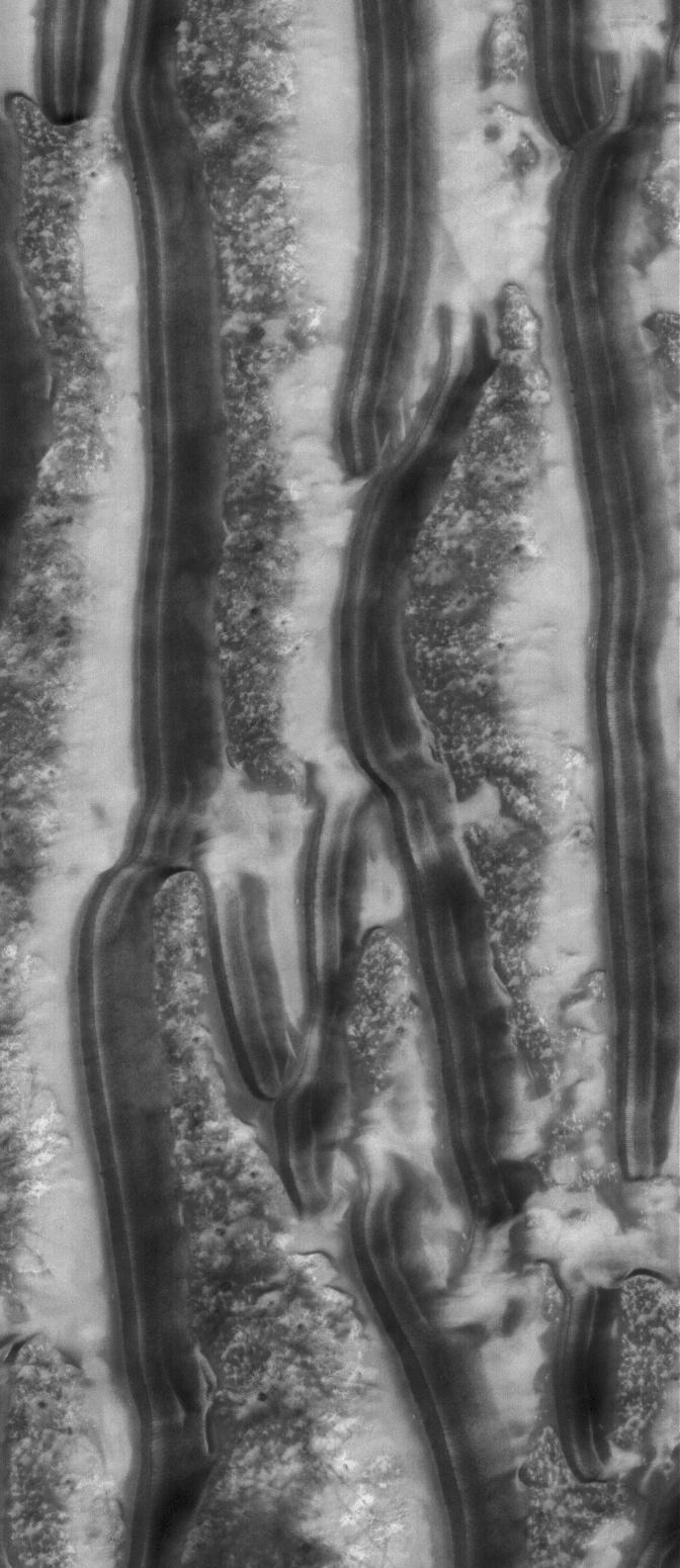
836x2527x1
PIA03666:
North Polar Layers
Full Resolution:
TIFF
(2.115 MB)
JPEG
(271.9 kB)
2006-01-13
Mars
2001 Mars Odyssey
THEMIS
1101x3078x1
PIA03667:
Linear Clouds
Full Resolution:
TIFF
(3.393 MB)
JPEG
(657.3 kB)
2006-01-14
Mars
Mars Global Surveyor (MGS)
Mars Orbiter Camera (MOC)
1024x2576x1
PIA03672:
Becquerel's Layers
Full Resolution:
TIFF
(2.641 MB)
JPEG
(870.7 kB)
2006-01-15
Mars
Mars Global Surveyor (MGS)
Mars Orbiter Camera (MOC)
672x1096x1
PIA03673:
South Polar Terrain
Full Resolution:
TIFF
(737.5 kB)
JPEG
(191.3 kB)
2006-01-16
Mars
Mars Global Surveyor (MGS)
Mars Orbiter Camera (MOC)
2048x3432x1
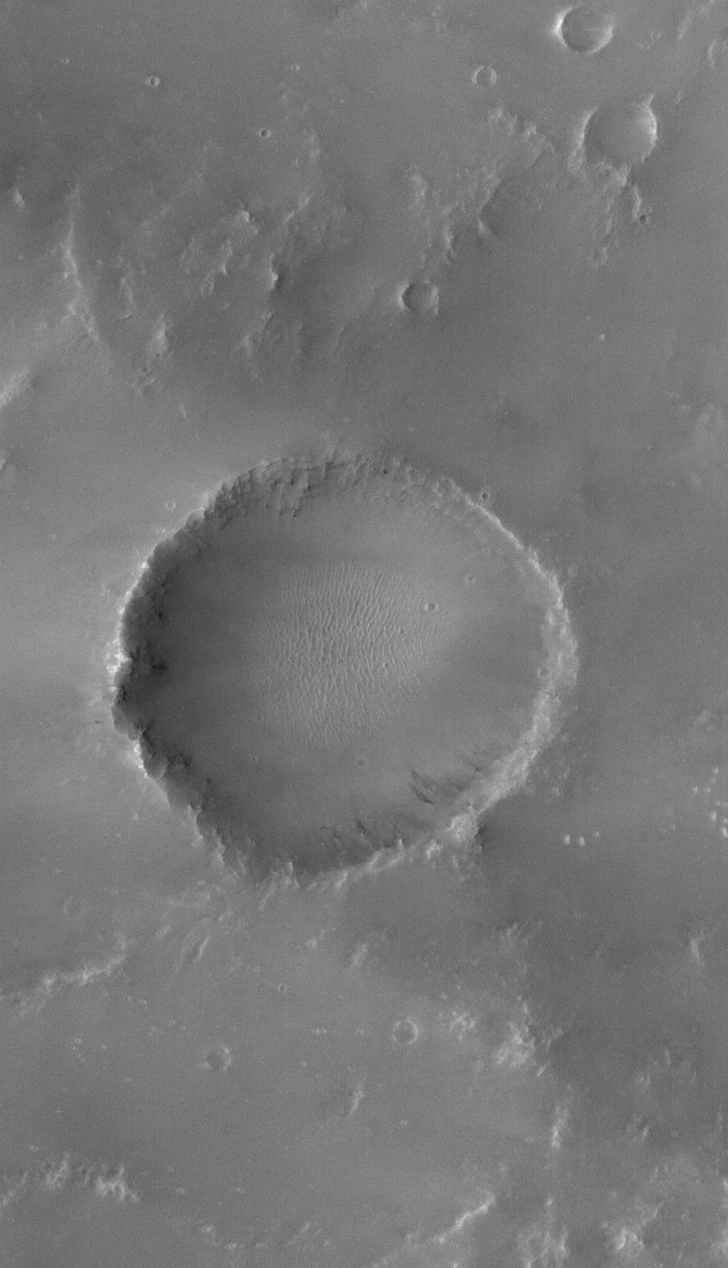
PIA03674:
Impact Crater
Full Resolution:
TIFF
(7.036 MB)
JPEG
(1.063 MB)
2006-01-16
Mars
2001 Mars Odyssey
THEMIS
1405x2917x1
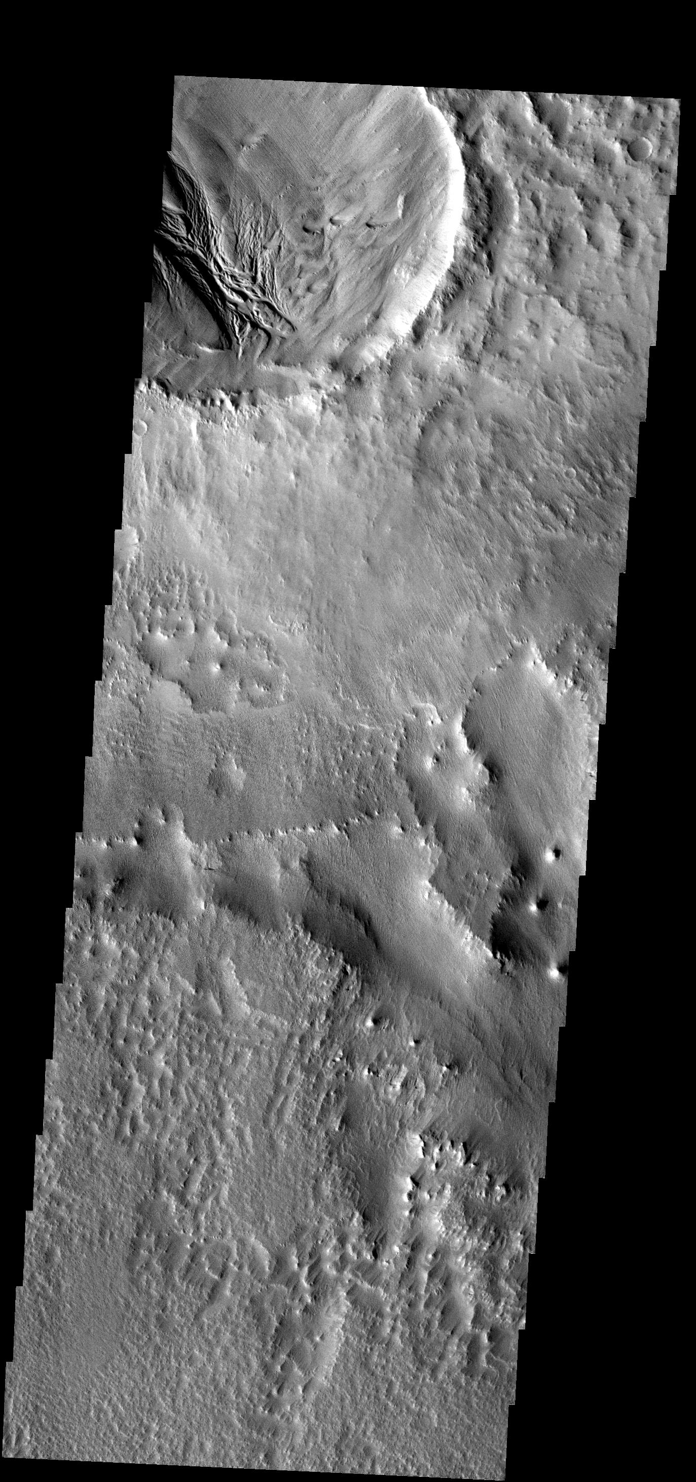
PIA03676:
Becquerel Crater
Full Resolution:
TIFF
(4.103 MB)
JPEG
(448.6 kB)
2006-01-17
Mars
Mars Global Surveyor (MGS)
Mars Orbiter Camera (MOC)
640x640x3
PIA03675:
Mars at Ls 357�: Syrtis Major
Full Resolution:
TIFF
(411.8 kB)
JPEG
(35.15 kB)
2006-01-17
Mars
2001 Mars Odyssey
THEMIS
1416x2922x1
PIA03677:
Dust Slides
Full Resolution:
TIFF
(4.142 MB)
JPEG
(384.5 kB)
2006-01-18
Mars
Mars Global Surveyor (MGS)
Mars Orbiter Camera (MOC)
512x1124x1
PIA03679:
Work of the Wind
Full Resolution:
TIFF
(576.3 kB)
JPEG
(60.85 kB)
2006-01-18
Mars
2001 Mars Odyssey
THEMIS
1362x2926x1
PIA03681:
Ganges Landslide
Full Resolution:
TIFF
(3.989 MB)
JPEG
(325.5 kB)
2006-01-19
Mars
Mars Global Surveyor (MGS)
Mars Orbiter Camera (MOC)
672x1296x1
PIA03680:
South Polar Scene
Full Resolution:
TIFF
(872 kB)
JPEG
(119.8 kB)
2006-01-19
Mars
2001 Mars Odyssey
THEMIS
1358x2929x1
PIA03682:
Canyon Dust
Full Resolution:
TIFF
(3.982 MB)
JPEG
(232.2 kB)
2006-01-19
Mars
Mars Exploration Rover (MER)
Panoramic Camera
1024x1024x3
PIA03684:
Salty Expression
Full Resolution:
TIFF
(3.15 MB)
JPEG
(139.5 kB)
2006-01-20
Mars
Mars Global Surveyor (MGS)
Mars Orbiter Camera (MOC)
672x1268x1
PIA03687:
Devil in Mendel
Full Resolution:
TIFF
(853.2 kB)
JPEG
(216.1 kB)
2006-01-20
Mars
2001 Mars Odyssey
THEMIS
1364x2931x1
PIA03692:
Layered Fan
Full Resolution:
TIFF
(4.002 MB)
JPEG
(274.2 kB)
2006-01-21
Mars
Mars Global Surveyor (MGS)
Mars Orbiter Camera (MOC)
916x1312x1
PIA03688:
Cratered Surface
Full Resolution:
TIFF
(1.203 MB)
JPEG
(145.9 kB)
2006-01-22
Mars
Mars Global Surveyor (MGS)
Mars Orbiter Camera (MOC)
2048x3648x1
PIA03689:
Southern Terrain
Full Resolution:
TIFF
(7.479 MB)
JPEG
(2.002 MB)
2006-01-23
Mars
Mars Global Surveyor (MGS)
Mars Orbiter Camera (MOC)
601x1476x1
PIA03690:
North Polar Dunes
Full Resolution:
TIFF
(888.2 kB)
JPEG
(120 kB)
2006-01-23
Mars
2001 Mars Odyssey
THEMIS
1361x2928x1
PIA03693:
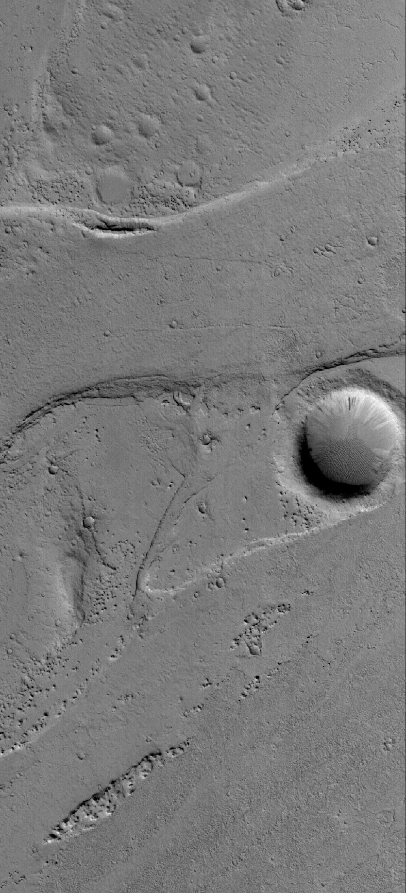
Channel
Full Resolution:
TIFF
(3.989 MB)
JPEG
(497.5 kB)
2006-01-24
Mars
Mars Global Surveyor (MGS)
Mars Exploration Rover (MER)
Mars Orbiter Camera (MOC)
1442x4116x3
PIA03691:
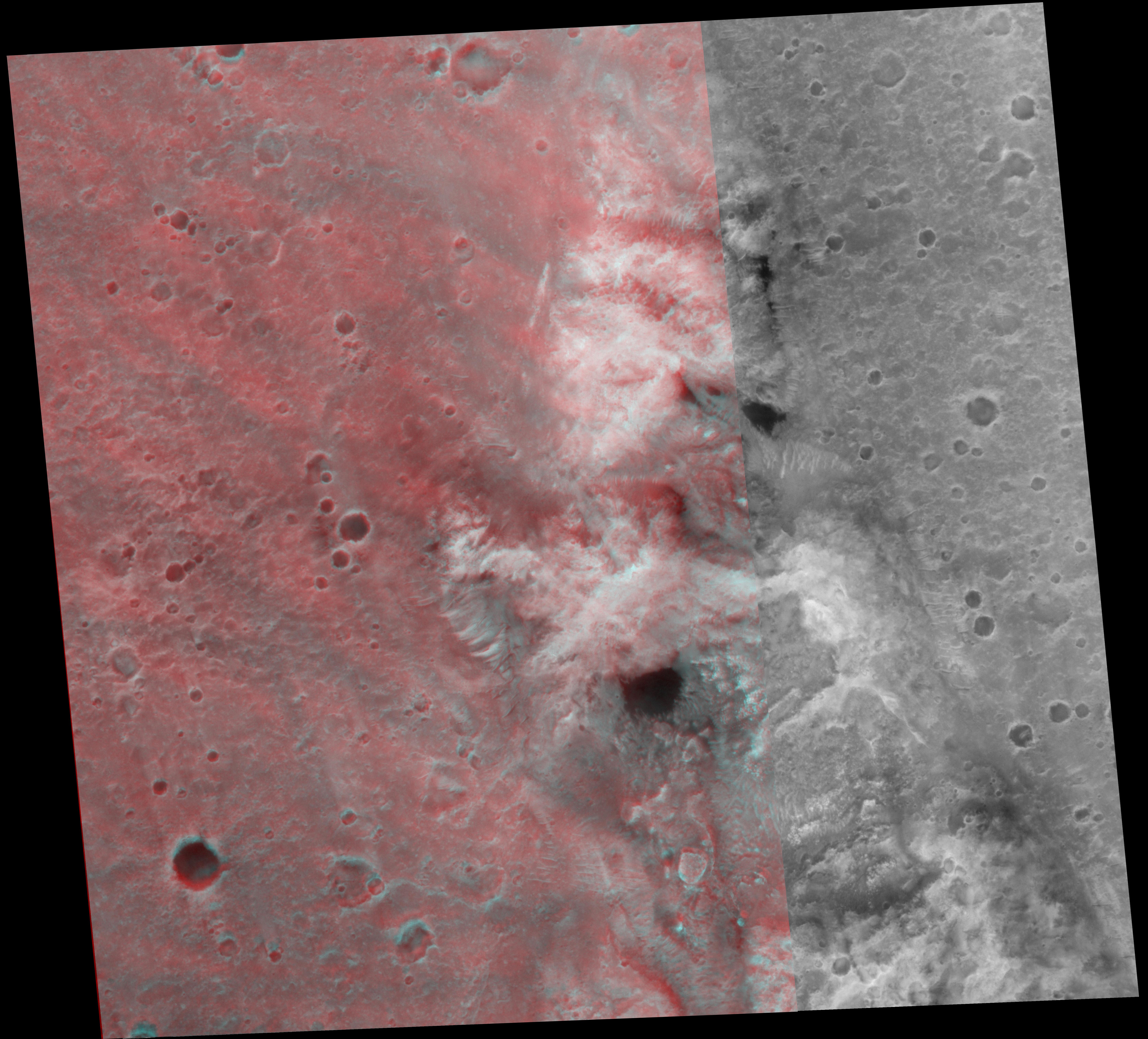
2 Years on Mars! Meridiani Planum Features Investigated by the Rover, Opportunity
Full Resolution:
TIFF
(17.84 MB)
JPEG
(981 kB)
2006-01-24
Mars
2001 Mars Odyssey
THEMIS
1338x2946x1
PIA03694:
Holden Crater Delta
Full Resolution:
TIFF
(3.946 MB)
JPEG
(371.1 kB)
2006-01-25
Mars
Mars Global Surveyor (MGS)
Mars Orbiter Camera (MOC)
640x640x3
PIA03696:
Mars at Ls 357�: Elysium/Mare Cimmerium
Full Resolution:
TIFF
(411.8 kB)
JPEG
(31.68 kB)
2006-01-25
Mars
2001 Mars Odyssey
THEMIS
1372x2922x1
PIA03699:
Blowouts
Full Resolution:
TIFF
(4.014 MB)
JPEG
(581.4 kB)
2006-01-25
Mars
Mars Exploration Rover (MER)
Panoramic Camera
26306x3000x3
PIA03695:
Erebus Panorama in Stereo
Full Resolution:
TIFF
(236.8 MB)
JPEG
(11.83 MB)
2006-01-26
Mars
Mars Global Surveyor (MGS)
Mars Orbiter Camera (MOC)
1024x2220x1
PIA03697:
Secondary Field
Full Resolution:
TIFF
(2.276 MB)
JPEG
(623.9 kB)
2006-01-26
Mars
2001 Mars Odyssey
THEMIS
1133x2999x1
PIA06085:
Crater Clouds
Full Resolution:
TIFF
(3.402 MB)
JPEG
(433.8 kB)
2006-01-27
Mars
Mars Global Surveyor (MGS)
Mars Orbiter Camera (MOC)
2048x4115x1
PIA03698:
Terby's Rocks
Full Resolution:
TIFF
(8.436 MB)
JPEG
(882.1 kB)
2006-01-27
Mars
2001 Mars Odyssey
THEMIS
1354x2941x1
PIA06088:
Crater Landslide
Full Resolution:
TIFF
(3.986 MB)
JPEG
(292 kB)
2006-01-27
Mars
Mars Exploration Rover (MER)
Panoramic Camera
993x1024x3
PIA06091:
Gusev Rocks Solidified from Lava (3-D)
Full Resolution:
TIFF
(3.055 MB)
JPEG
(199.2 kB)
1-100
101-200
201-300
301-400
401-500
501-600
601-700
701-800
801-900
901-1000
Currently displaying images:
3961 - 4060
of 12718


