Your search criteria found
12718
images
Target is Mars
Go to PIAxxxxx:
Refine this list of images by:
Target:
Mars
Sun
Titan
Vesta
Mission:
2001 Mars Odyssey
Antarctic Meteorite Location and Mapping Project (AMLAMP)
Cassini-Huygens
Dawn
ExoMars
Hubble Space Telescope
InSight
MAVEN
Mariner Mars 1964 (Mariner 4)
Mariner Mars 1969 (Mariner 7)
Mariner Mars 1971 (Mariner 9)
Mars 2020
Mars 2020 Rover
Mars Atmosphere and Volatile Evolution MissioN (MAVEN)
Mars Climate Orbiter
Mars Cube One (MarCO)
Mars Exploration Rover (MER)
Mars Express (MEX)
Mars Global Surveyor (MGS)
Mars Helicopter
Mars Pathfinder (MPF)
Mars Reconnaissance Orbiter (MRO)
Mars Sample Return
Mars Sample Return (MSR)
Mars Science Laboratory (MSL)
Phoenix
Rosetta
Viking
Spacecraft:
2001 Mars Odyssey
Curiosity
Dawn
InSight Mars Lander
Ingenuity
MAVEN
MarCO-B
Mariner 4
Mariner 7
Mariner 9
Mars Climate Orbiter
Mars Express (MEX)
Mars Express (MEX) Orbiter
Mars Global Surveyor Orbiter
Mars Pathfinder Lander
Mars Pathfinder Rover
Mars Reconnaissance Orbiter (MRO)
Mars Sample Return
Mars Science Laboratory (MSL)
NASA's Mars Pathfinder Lander
Opportunity
Perseverance
Philae Lander
Phoenix Lander
Phoenix Mars Lander
Spirit
Viking Lander 1
Viking Lander 2
Viking Orbiter 1
Viking Orbiter 2
Instrument:
Alpha Particle X-ray Spectrometer
Alpha Particle X-ray Spectrometer (MSL)
Atmospheric Structure / Meteorology Instrument
CHIMRA
Camera 1
Camera 2
Chemistry & Mineralogy (CheMin)
Chemistry and Camera (ChemCam)
Comet Infrared and Visible Analyser (CIVA
Compact Reconnaissance Imaging Spectrometer for Mars (CRISM)
Context Camera (CTX)
Deep Space Network
Descent Image Motion Estimation System (DIMES)
Dynamic Albedo of Neutrons
Dynamic Albedo of Neutrons (DAN)
Gamma Ray Spectrometer - Neutron Spectrometer
Gamma Ray Spectrometer Suite
Hazard Avoidance Camera
Hazard Avoidance Camera (M2020)
Hazard Avoidance Camera (MSL)
Heat and Physical Properties Package (HP3)
High Resolution Imaging Science Experiment (HiRISE)
High Resolution Instrument (HRI)
High Resolution Stereo Camera
Imager for Mars Pathfinder
Imaging Science Subsystem
Imaging Ultraviolet Spectrograph
Imaging Ultraviolet Spectrograph (IUVS)
Instrument Context Camera (ICC)
Instrument Deployment Camera (IDC)
Lander Vision System Camera (LCAM)
Magnetometer
Mars Advanced Radar for Subsurface and Ionosphere Sounding (MARSIS)
Mars Advanced Radar for Subsurface and Ionospheric Sounding (MARSIS)
Mars Climate Sounder (MCS)
Mars Color Imager (MARCI)
Mars Descent Imager
Mars Environmental Dynamics Analyzer (MEDA)
Mars Hand Lens Imager (MAHLI)
Mars Horizon Sensor Assembly
Mars Orbiter Camera (MOC)
Mars Orbiter Laser Altimeter
Mars Radiation Experiment
Mastcam
Mastcam-Z
Microscopic Imager
Microscopy Electrochemistry and Conductivity Analyzer (MECA)
Miniature Thermal Emission Spectrometer
Moessbauer Spectrometer
Navigation Camera
Navigation Camera (M2020)
Navigation Camera (MSL)
Neutral Gas and Ion Mass Spectrometer
Neutron Spectrometer
Optical Microscope
Panoramic Camera
Planetary Instrument for X-ray Lithochemistry (PIXL)
Radar System
Radiation Assessment Detector (RAD)
Radio Science Subsystem
Robotic Arm
Robotic Arm (MSL)
Robotic Arm Camera (RAC)
Rock Abrasion Tool (RAT)
Rover Cameras
Rover Environmental Monitoring Station (REMS)
Sample Analysis at Mars (SAM)
Scanning Habitable Environments with Raman & Luminescence for Organics and Chemicals (SHERLOC)
Seismic Experiment for Interior Structure (SEIS)
Shallow Subsurface Radar (SHARAD)
Stereo Imager (SSI)
SuperCam
Surface Stereo Imager (SSI)
Thermal Emission Imaging System
Thermal Emission Spectrometer
Thermal and Electrical Conductivity Probe
Thermal and Evolved Gas Analyzer
Trace Gas Orbiter
Visual Imaging Subsystem
Visual Imaging Subsystem - Camera A
Visual Imaging Subsystem - Camera B
Wide Field Planetary Camera 2
Click on an image for detailed information
Click on a column heading to sort in ascending or descending order
My
List
Addition Date
Target
Mission
Instrument
Size
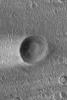
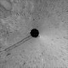
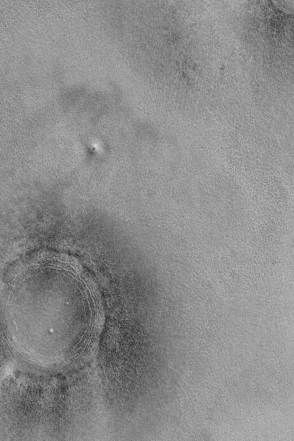
2004-11-06
Mars
Mars Global Surveyor (MGS)
Mars Orbiter Camera (MOC)
640x960x1
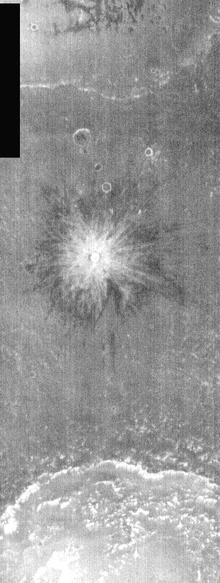
PIA07033:
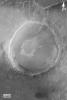
Crater with Streak
Full Resolution:
TIFF
(615.3 kB)
JPEG
(137 kB)
2004-11-07
Mars
Mars Global Surveyor (MGS)
Mars Orbiter Camera (MOC)
672x1008x1
PIA07034:
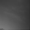
Autumn Dust Storm
Full Resolution:
TIFF
(631.1 kB)
JPEG
(45.38 kB)
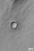
2004-11-08
Mars
Mars Global Surveyor (MGS)
Mars Orbiter Camera (MOC)
1024x2214x1
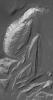
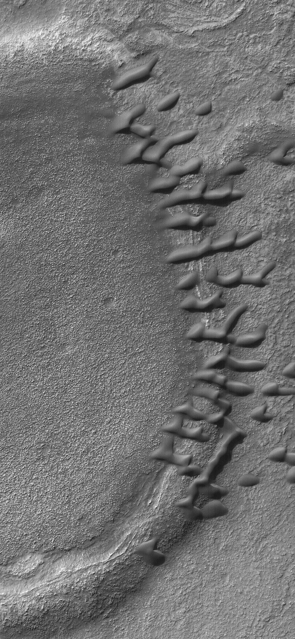
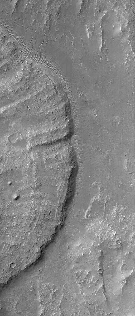
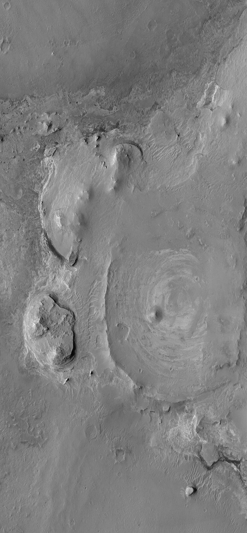
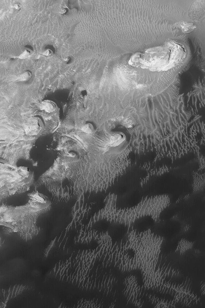
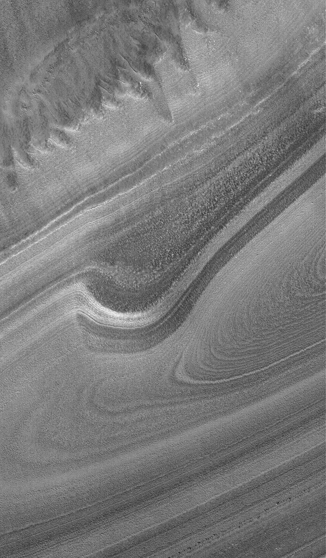
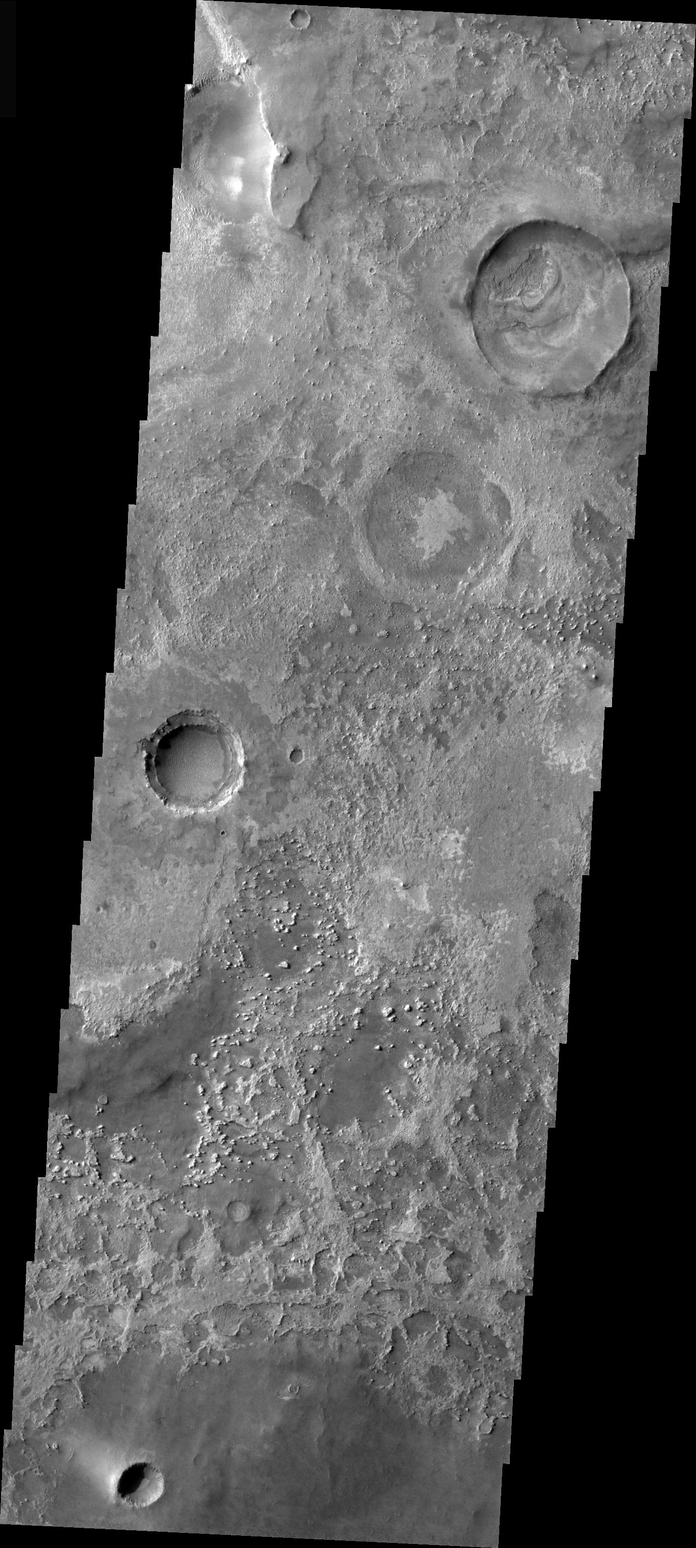
PIA07035:
Dunes on a Ridge
Full Resolution:
TIFF
(2.27 MB)
JPEG
(721.1 kB)
2004-11-08
Mars
2001 Mars Odyssey
THEMIS
1394x3251x1
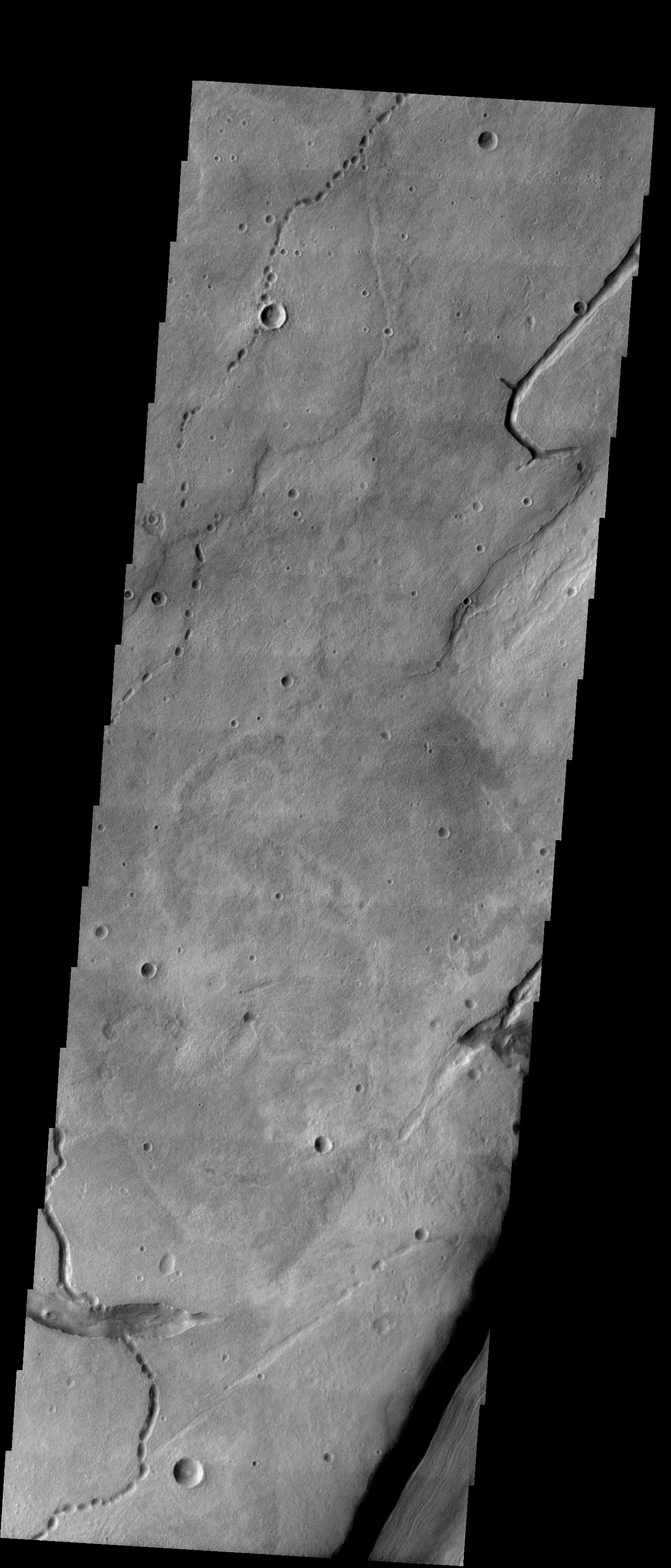
PIA07037:
Collapse Pits in Bernard Crater
Full Resolution:
TIFF
(3.15 MB)
JPEG
(410.7 kB)
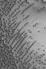
2004-11-09
Mars
Mars Global Surveyor (MGS)
Mars Orbiter Camera (MOC)
601x902x1
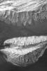
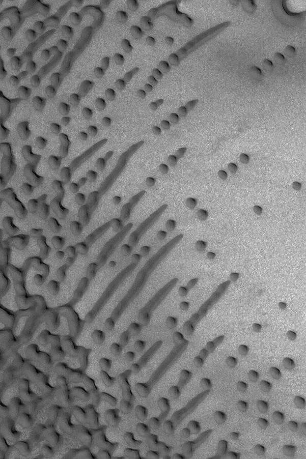
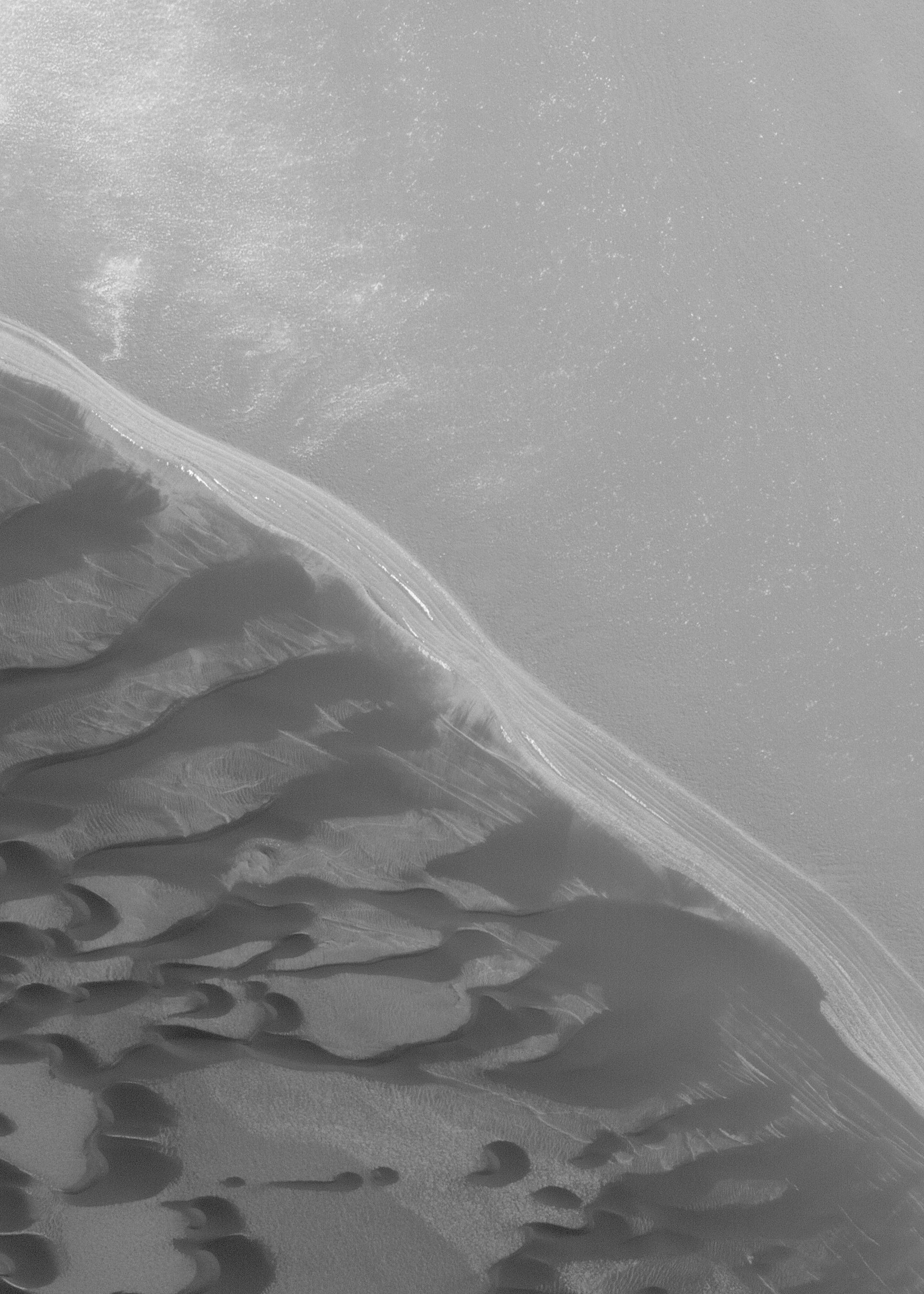
PIA07036:
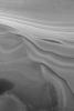
Dune Variety
Full Resolution:
TIFF
(542.9 kB)
JPEG
(95.6 kB)
2004-11-09
Mars
2001 Mars Odyssey
THEMIS
1402x3221x1
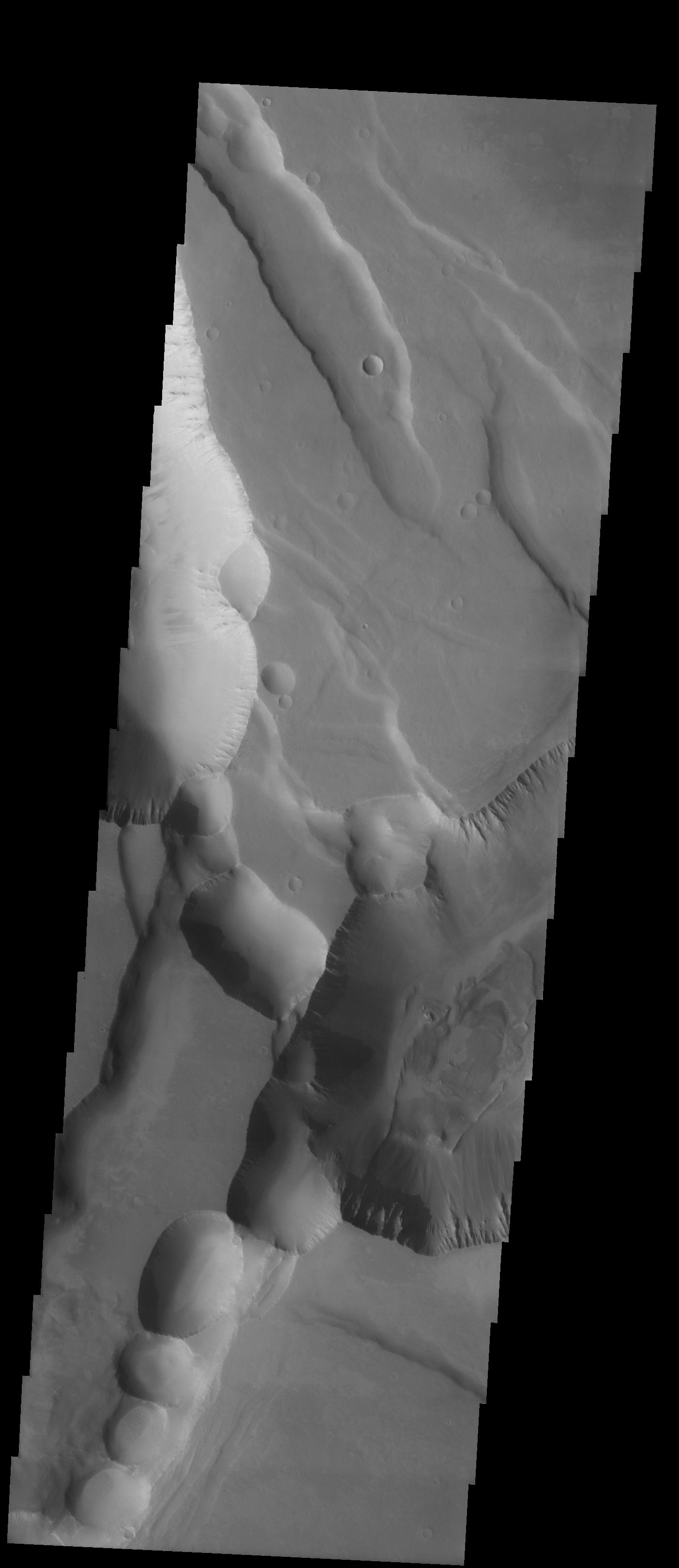
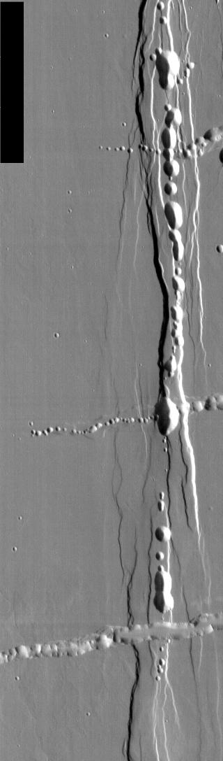
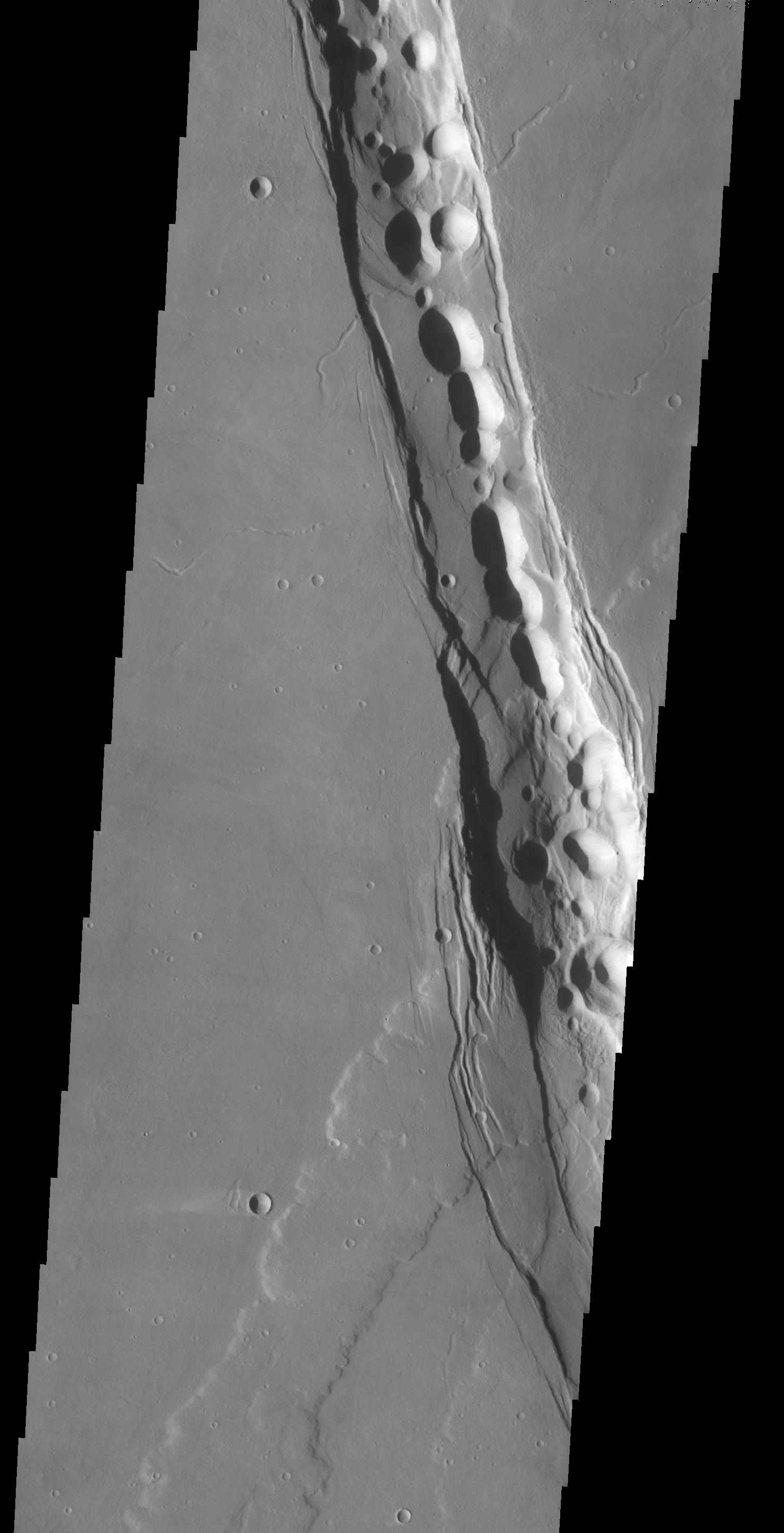
PIA07038:
Sulci Collapse Pits
Full Resolution:
TIFF
(3.332 MB)
JPEG
(341.1 kB)
2004-11-10
Mars
Mars Global Surveyor (MGS)
Mars Orbiter Camera (MOC)
2367x714x3
PIA07040:
Charitum Montes
Full Resolution:
TIFF
(5.073 MB)
JPEG
(1.185 MB)
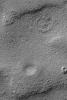
2004-11-11
Mars
Mars Global Surveyor (MGS)
Mars Orbiter Camera (MOC)
510x765x1
PIA07041:
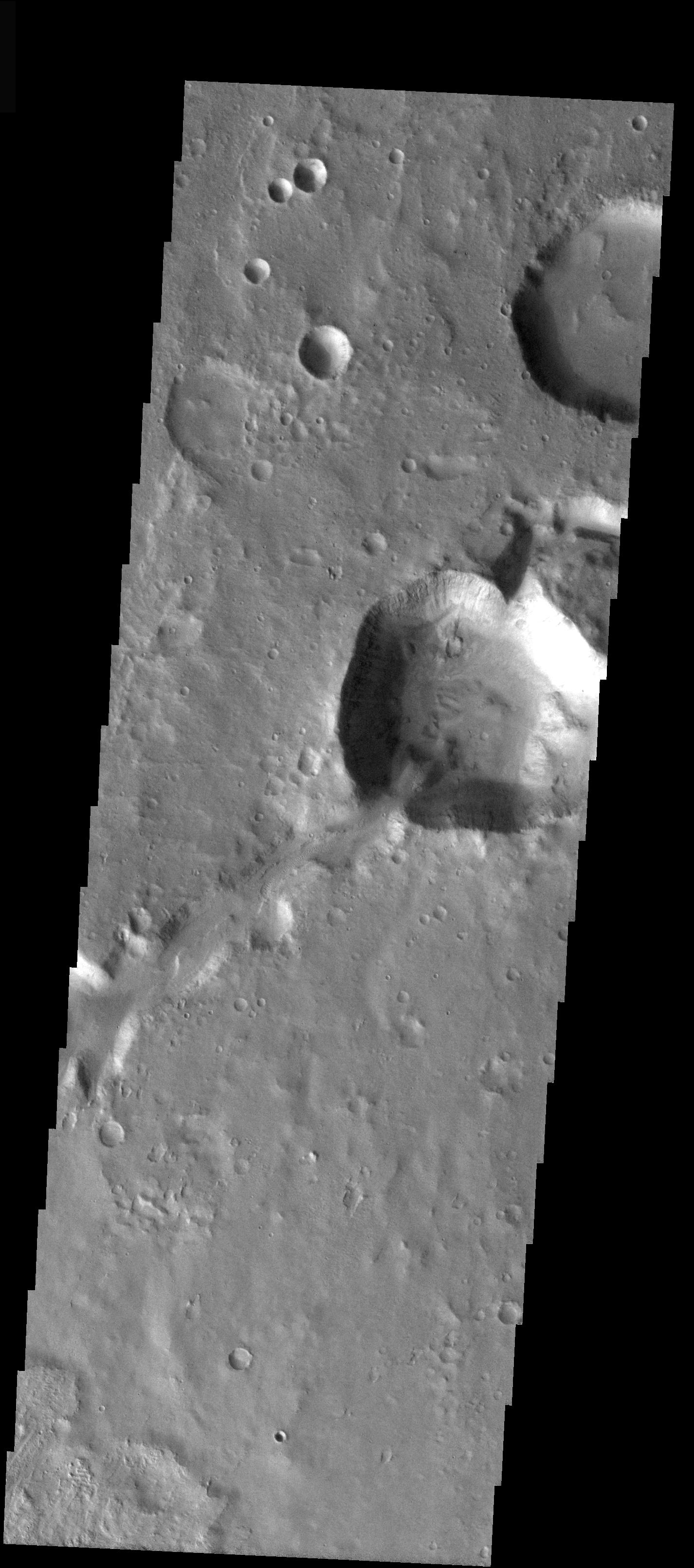
A Tale of 3 Craters
Full Resolution:
TIFF
(390.8 kB)
JPEG
(138.3 kB)
2004-11-11
Mars
2001 Mars Odyssey
THEMIS
1411x3218x1
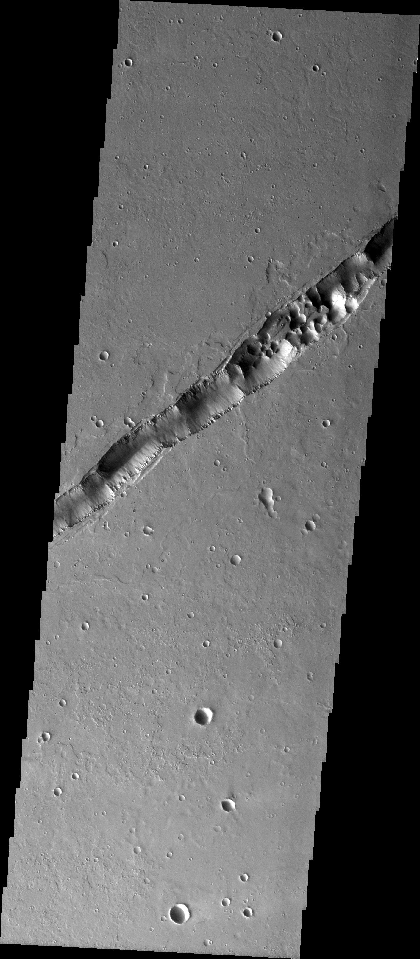
PIA07053:
Tharsis Collapse Pits
Full Resolution:
TIFF
(3.27 MB)
JPEG
(482.2 kB)
2004-11-11
Mars
2001 Mars Odyssey
THEMIS
1403x3239x1
PIA07042:
Sulci Collapse Pits
Full Resolution:
TIFF
(2.49 MB)
JPEG
(173.6 kB)
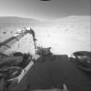
2004-11-11
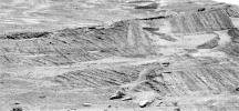
Mars
Mars Exploration Rover (MER)
Navigation Camera
1905x1224x1
PIA07039:
At Base of 'Burns Cliff'
Full Resolution:
TIFF
(1.281 MB)
JPEG
(247.2 kB)
2004-11-12
Mars
2001 Mars Odyssey
THEMIS
395x713x1
PIA07054:
Alba Patera Collapse Pits
Full Resolution:
TIFF
(205.7 kB)
JPEG
(31.02 kB)
2004-11-12
Mars
Mars Global Surveyor (MGS)
Mars Orbiter Camera (MOC)
836x1579x1
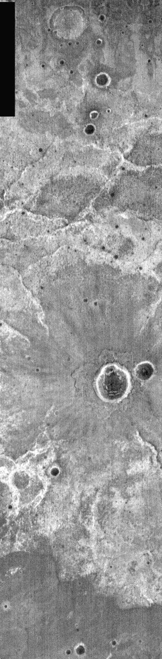
PIA07043:
Features in Aureum Chaos
Full Resolution:
TIFF
(1.288 MB)
JPEG
(182 kB)
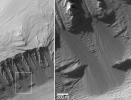
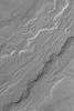
2004-11-13
Mars
Mars Global Surveyor (MGS)
Mars Orbiter Camera (MOC)
1024x1536x1
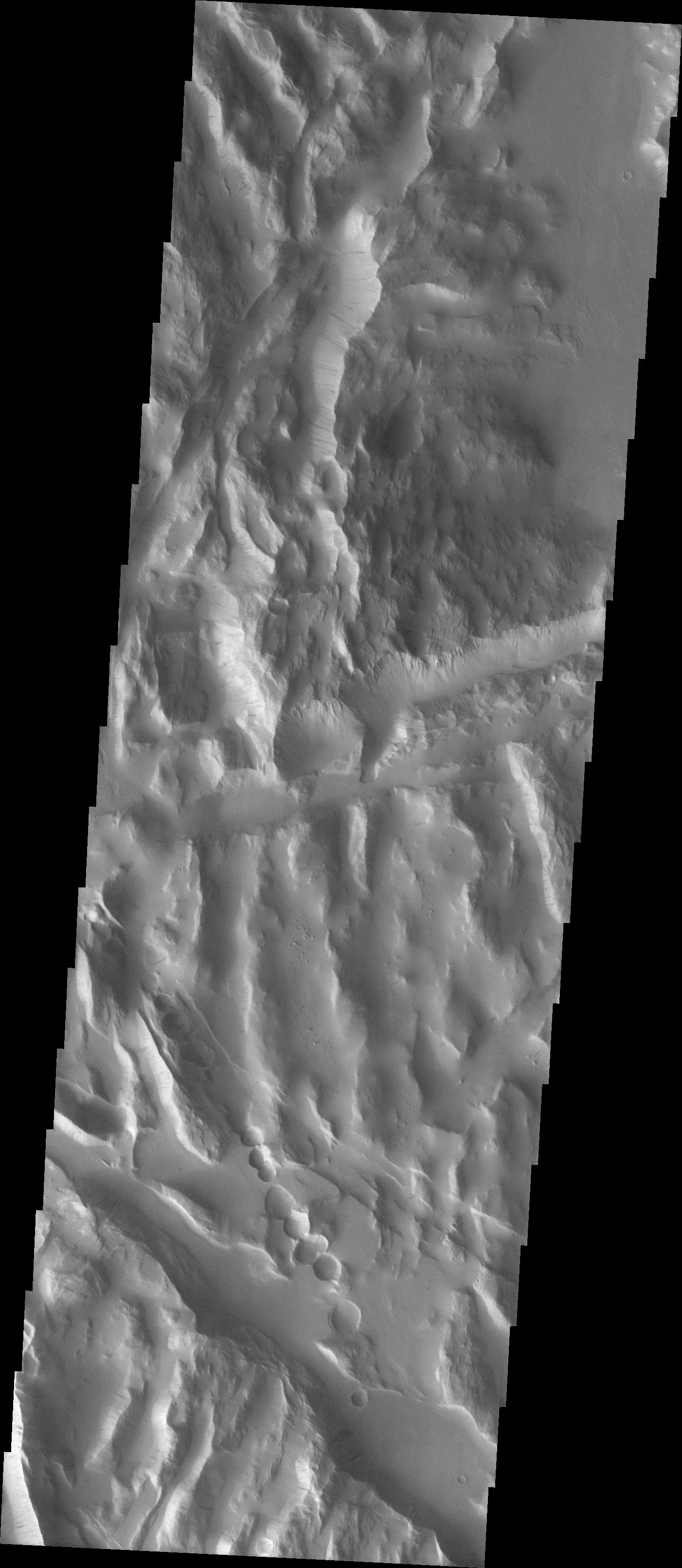
PIA07049:
Sedimentary Rocks in Ganges
Full Resolution:
TIFF
(1.575 MB)
JPEG
(279 kB)
2004-11-14
Mars
Mars Global Surveyor (MGS)
Mars Orbiter Camera (MOC)
2048x3200x1
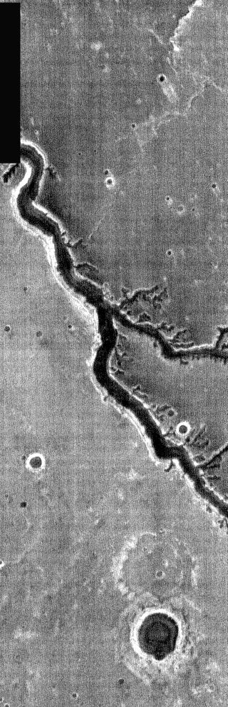
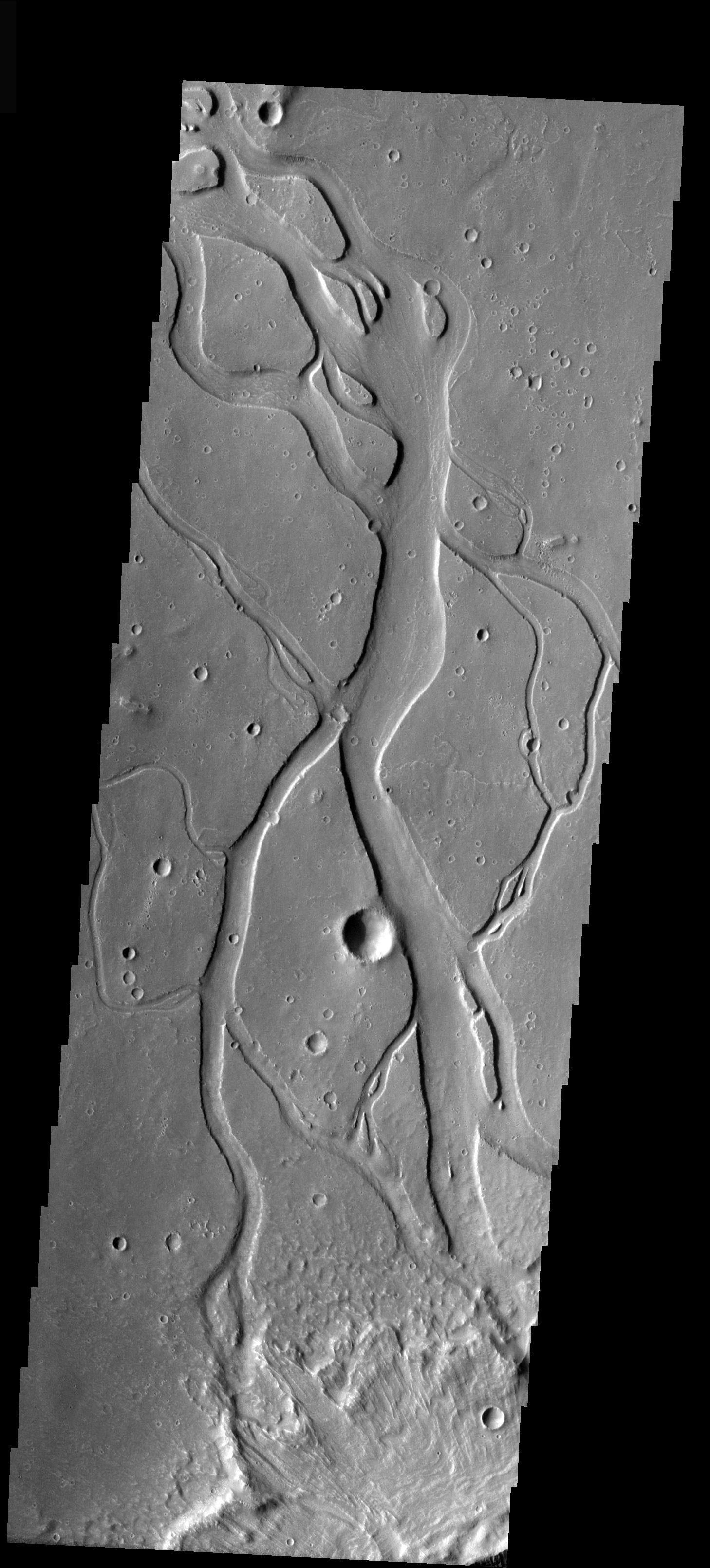
PIA07050:
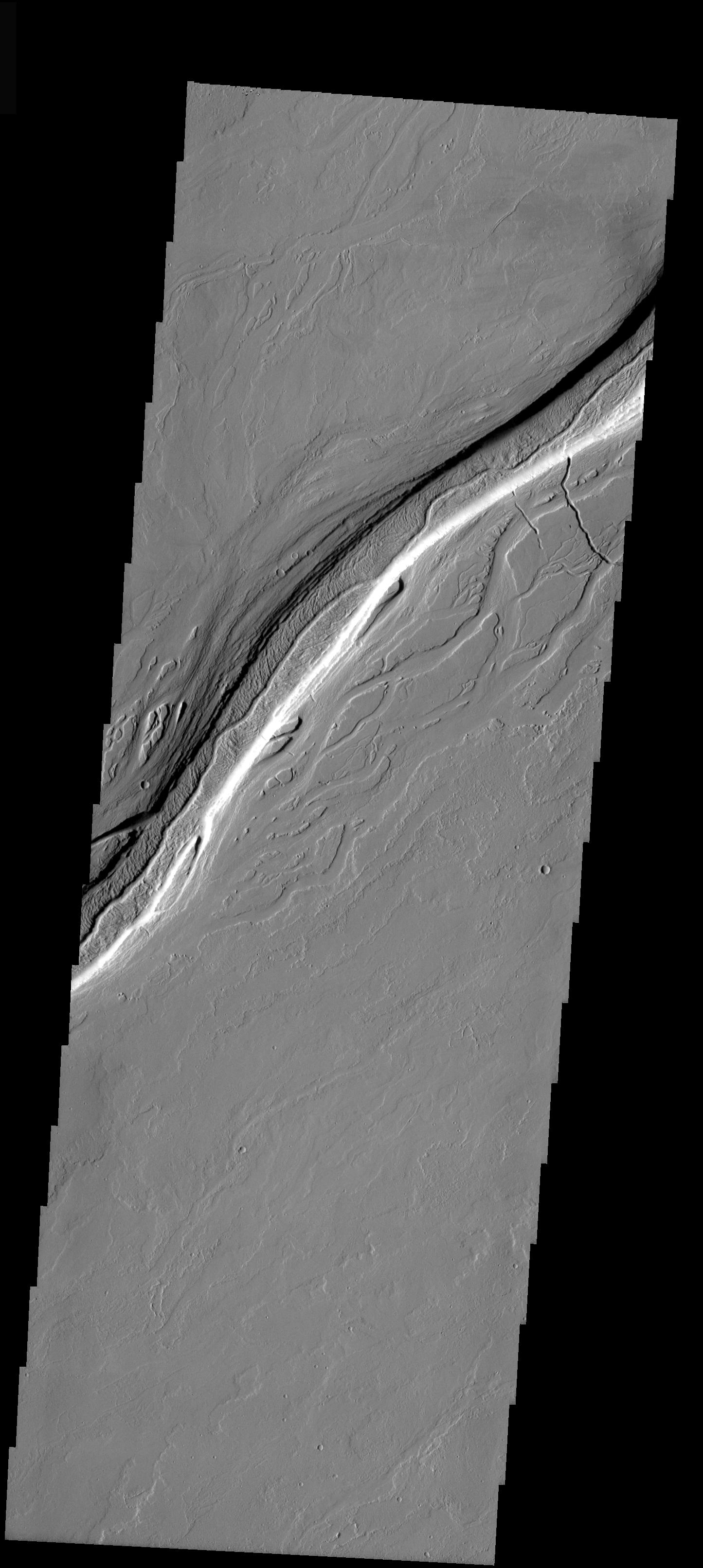
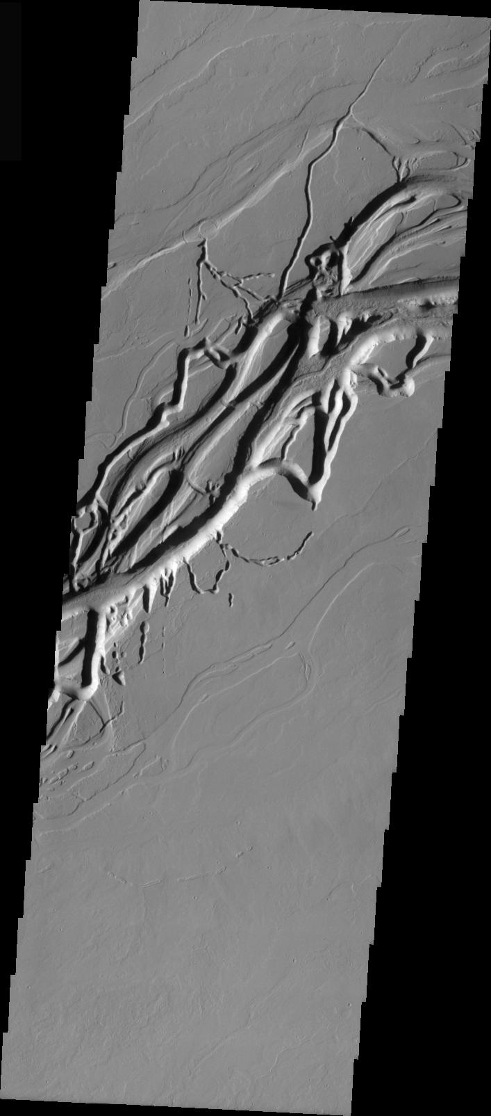
Channel in Kasei
Full Resolution:
TIFF
(6.56 MB)
JPEG
(1.689 MB)
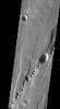
2004-11-15
Mars
Mars Global Surveyor (MGS)
Mars Orbiter Camera (MOC)
512x1197x1
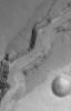
PIA07051:
Landslide in Coprates
Full Resolution:
TIFF
(613.7 kB)
JPEG
(121.6 kB)
2004-11-15
Mars
2001 Mars Odyssey
THEMIS
1396x3264x1
PIA07055:
Lava Tube Collapse Pits
Full Resolution:
TIFF
(3.163 MB)
JPEG
(473.4 kB)
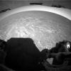
2004-11-16
Mars
Mars Exploration Rover (MER)
Navigation Camera
6767x2153x1
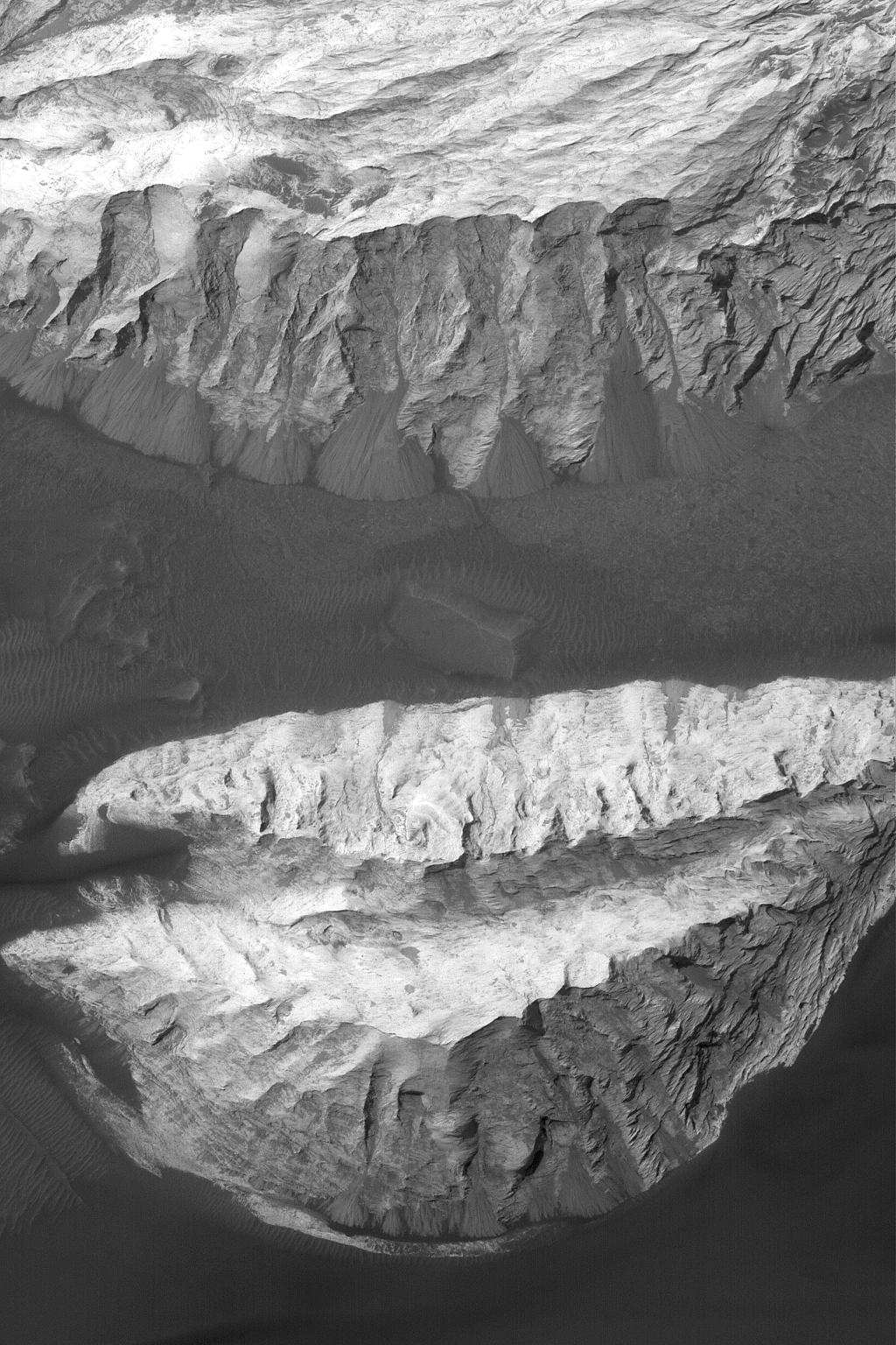
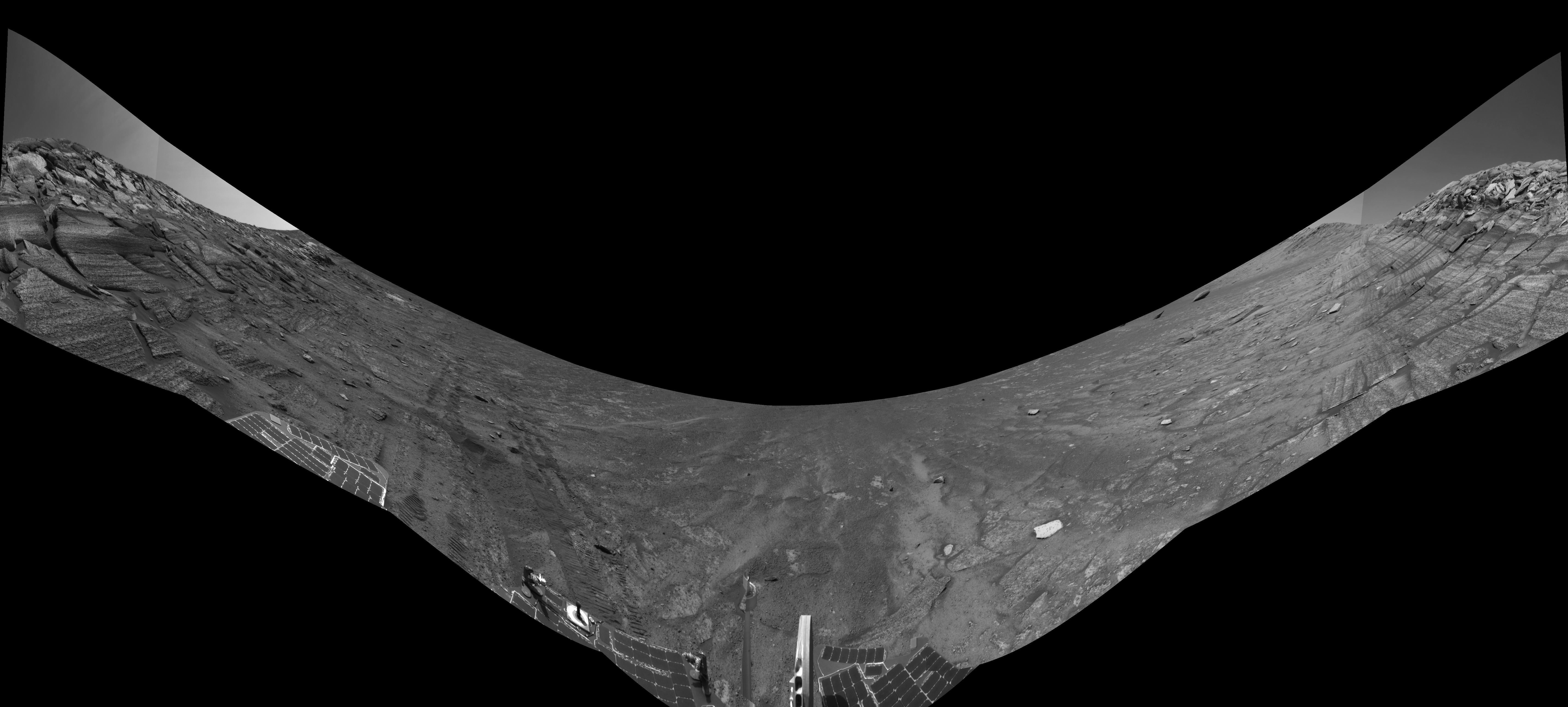
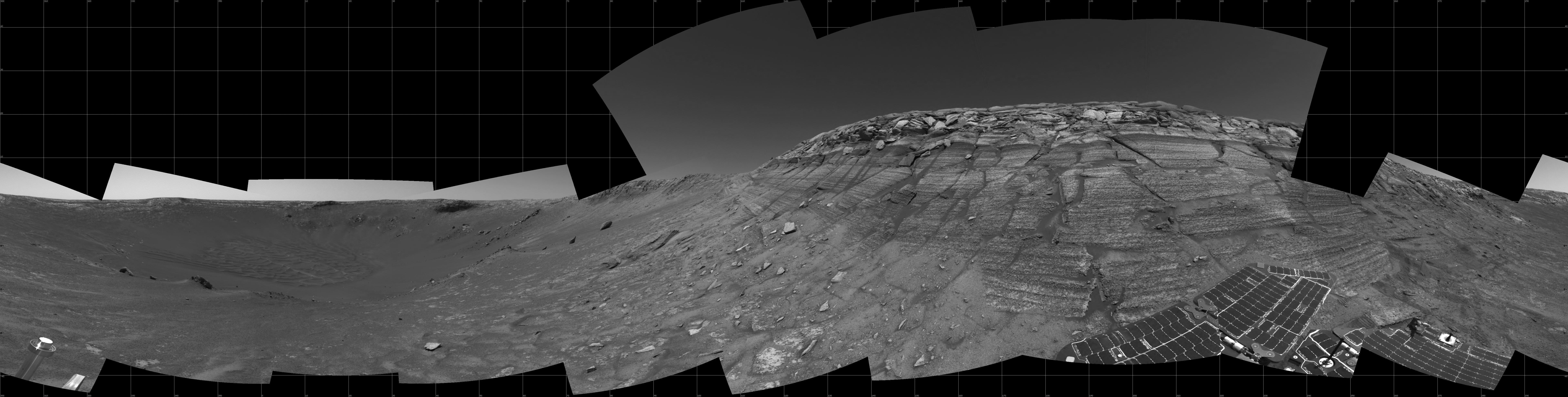
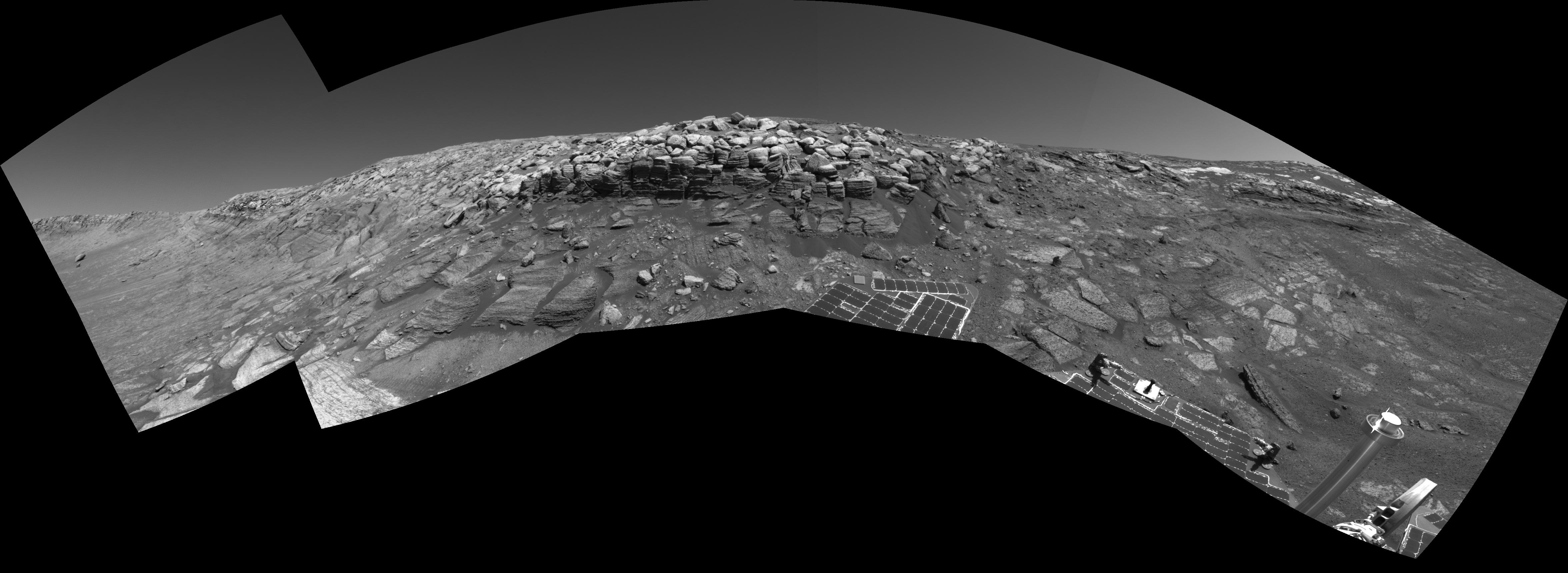
PIA07044:
Along Endurance Crater's Inner Wall
Full Resolution:
TIFF
(6.329 MB)
JPEG
(1.05 MB)
2004-11-16
Mars
Mars Exploration Rover (MER)
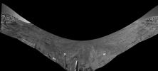
Navigation Camera
6823x3078x3
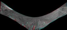
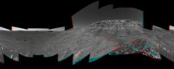
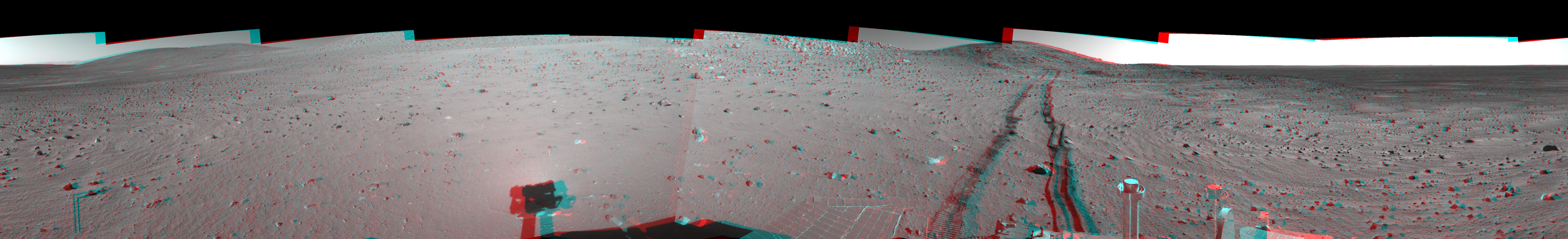
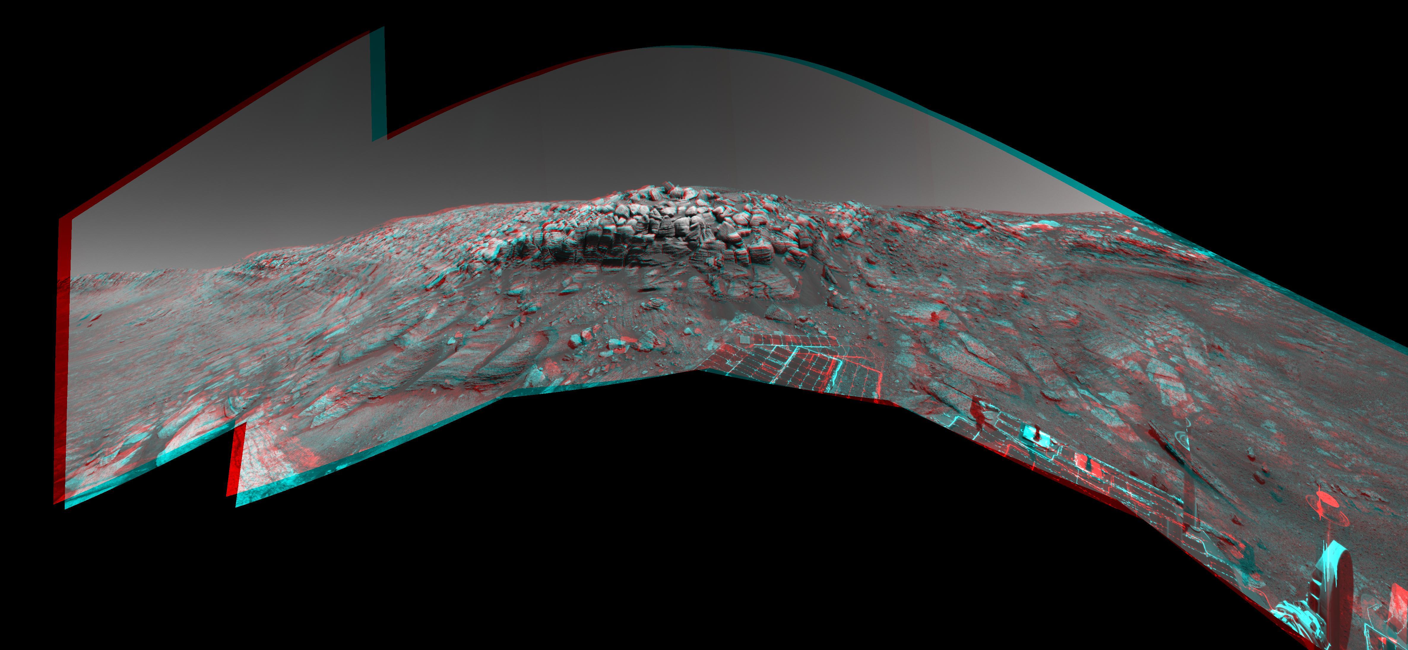
PIA07045:
Along Endurance Crater's Inner Wall (3-D Anaglyph)
Full Resolution:
TIFF
(24.14 MB)
JPEG
(1.37 MB)
2004-11-16
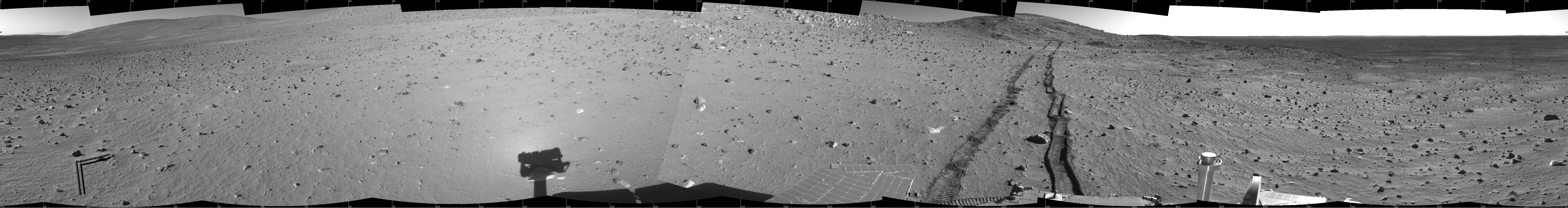
Mars
Mars Exploration Rover (MER)
Navigation Camera
6823x3078x1
PIA07046:
Along Endurance Crater's Inner Wall (Left Eye)
Full Resolution:
TIFF
(7.729 MB)
JPEG
(1.25 MB)
2004-11-16
Mars
Mars Exploration Rover (MER)
Navigation Camera
6823x3078x1
PIA07047:
Along Endurance Crater's Inner Wall (Right Eye)
Full Resolution:
TIFF
(7.753 MB)
JPEG
(1.24 MB)
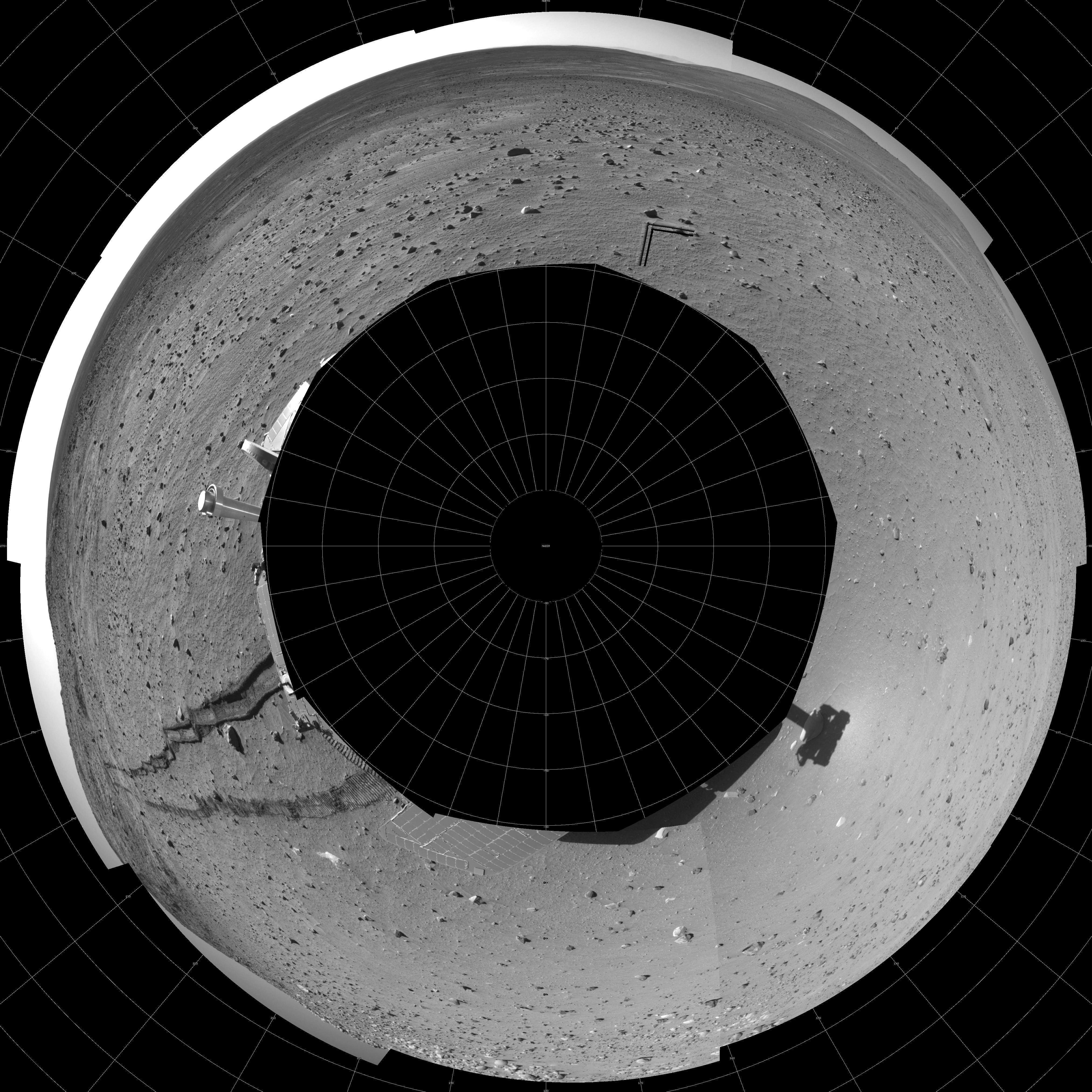
2004-11-16
Mars
Mars Exploration Rover (MER)
Navigation Camera
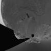
5195x5195x1
PIA07048:
Along Endurance Crater's Inner Wall (Polar)
Full Resolution:
TIFF
(7.977 MB)
JPEG
(1.294 MB)
2004-11-16
Mars
Mars Global Surveyor (MGS)
Mars Orbiter Camera (MOC)
1920x2688x1
PIA07052:
North Polar Scene
Full Resolution:
TIFF
(5.148 MB)
JPEG
(715.1 kB)
2004-11-16
Mars
2001 Mars Odyssey
THEMIS
320x1681x1
PIA07056:
Ascraeus Mons Collapse Pits
Full Resolution:
TIFF
(538.7 kB)
JPEG
(93.84 kB)
2004-11-17
Mars
Mars Global Surveyor (MGS)
Mars Orbiter Camera (MOC)
672x2117x1
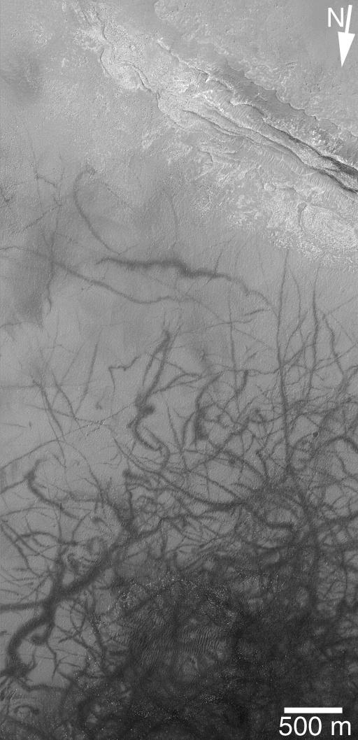
PIA07057:
Inverted Channels of Aeolis
Full Resolution:
TIFF
(1.424 MB)
JPEG
(307.3 kB)
2004-11-17
Mars
2001 Mars Odyssey
THEMIS
320x1202x1
PIA07068:
Arsia Mons Collapse Pits in IR
Full Resolution:
TIFF
(385.3 kB)
JPEG
(59.07 kB)
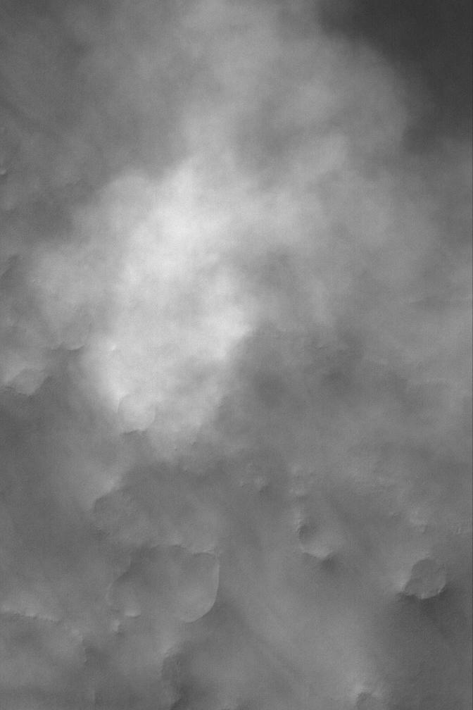
2004-11-17
Mars
Mars Exploration Rover (MER)
Navigation Camera
1024x1024x1
PIA07058:
Clouds Over Crater Rim
Full Resolution:
TIFF
(759.4 kB)
JPEG
(43.99 kB)
2004-11-17
Mars
Mars Exploration Rover (MER)
Navigation Camera
1024x1024x1
PIA07059:
Clouds Over 'Endurance'
Full Resolution:
TIFF
(457.6 kB)
JPEG
(20.44 kB)
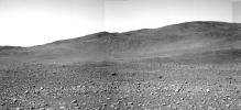
2004-11-18
Mars
Mars Global Surveyor (MGS)
Mars Orbiter Camera (MOC)
901x1352x1
PIA07060:
Small Gullied Crater
Full Resolution:
TIFF
(1.22 MB)
JPEG
(265 kB)
2004-11-18
Mars
2001 Mars Odyssey
THEMIS
320x1088x1
PIA07069:
Alba Patera Collapse Pits
Full Resolution:
TIFF
(327.7 kB)
JPEG
(37.59 kB)
2004-11-19
Mars
Mars Global Surveyor (MGS)
Mars Orbiter Camera (MOC)
836x1802x1
PIA07061:
Northern Meridiani Scene
Full Resolution:
TIFF
(1.506 MB)
JPEG
(210.6 kB)
2004-11-19
Mars
2001 Mars Odyssey
THEMIS
1489x2909x1
PIA07070:
Tractus Catena Collapse Pits
Full Resolution:
TIFF
(2.608 MB)
JPEG
(246.9 kB)
2004-11-20
Mars
Mars Global Surveyor (MGS)
Mars Orbiter Camera (MOC)
836x1254x1
PIA07062:
North Polar Layer Exposure
Full Resolution:
TIFF
(1.05 MB)
JPEG
(203.7 kB)
2004-11-21
Mars
Mars Global Surveyor (MGS)
Mars Orbiter Camera (MOC)
640x1617x1
PIA07063:
Hill and Depression
Full Resolution:
TIFF
(1.036 MB)
JPEG
(294.4 kB)
2004-11-22
Mars
Mars Global Surveyor (MGS)
Mars Orbiter Camera (MOC)
672x1008x1
PIA07064:
Northern Plains of Mars
Full Resolution:
TIFF
(574.6 kB)
JPEG
(144.8 kB)
2004-11-22
Mars
2001 Mars Odyssey
THEMIS
320x2463x1
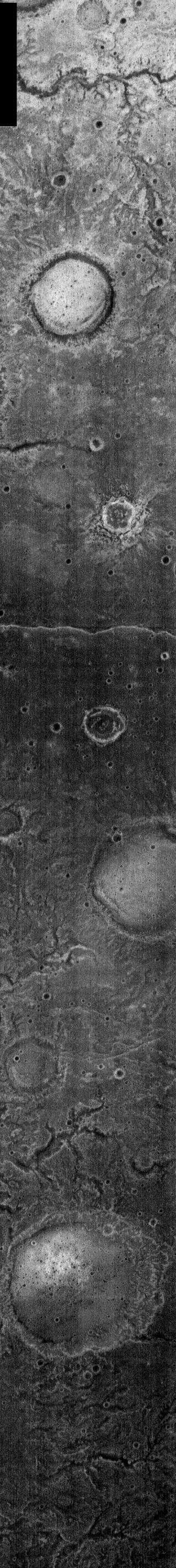
PIA07071:
Nighttime IR Channels
Full Resolution:
TIFF
(789.2 kB)
JPEG
(169.9 kB)
2004-11-23
Mars
Mars Global Surveyor (MGS)
Mars Orbiter Camera (MOC)
1880x1701x1
PIA07067:
A Gullied Crater Wall
Full Resolution:
TIFF
(3.202 MB)
JPEG
(863.9 kB)
2004-11-23
Mars
2001 Mars Odyssey
THEMIS
320x1357x1
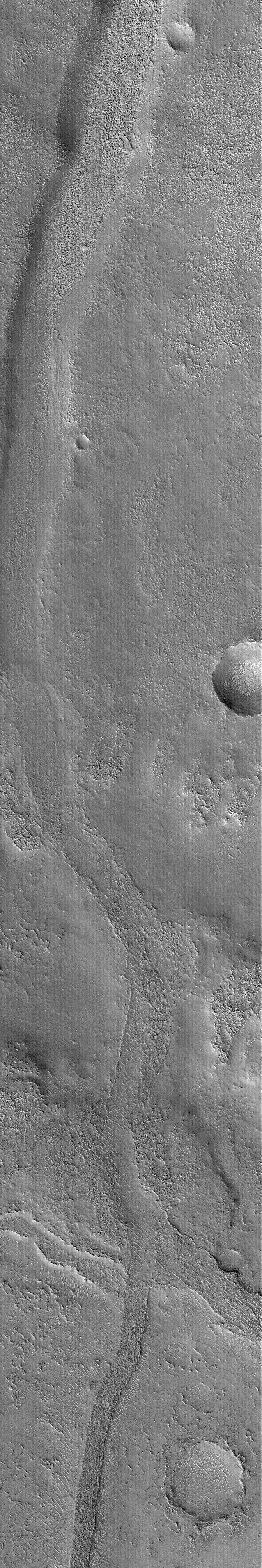
PIA07072:
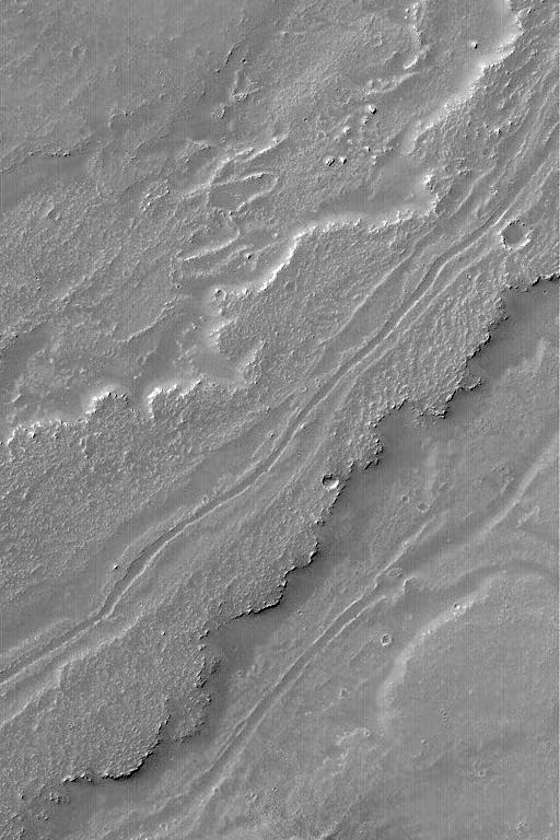
Tinto Vallis Fluvial Channel
Full Resolution:
TIFF
(434.9 kB)
JPEG
(81.38 kB)
2004-11-23
Mars
Mars Exploration Rover (MER)
Navigation Camera
7753x3119x3
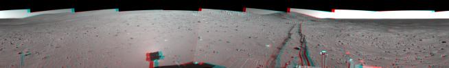
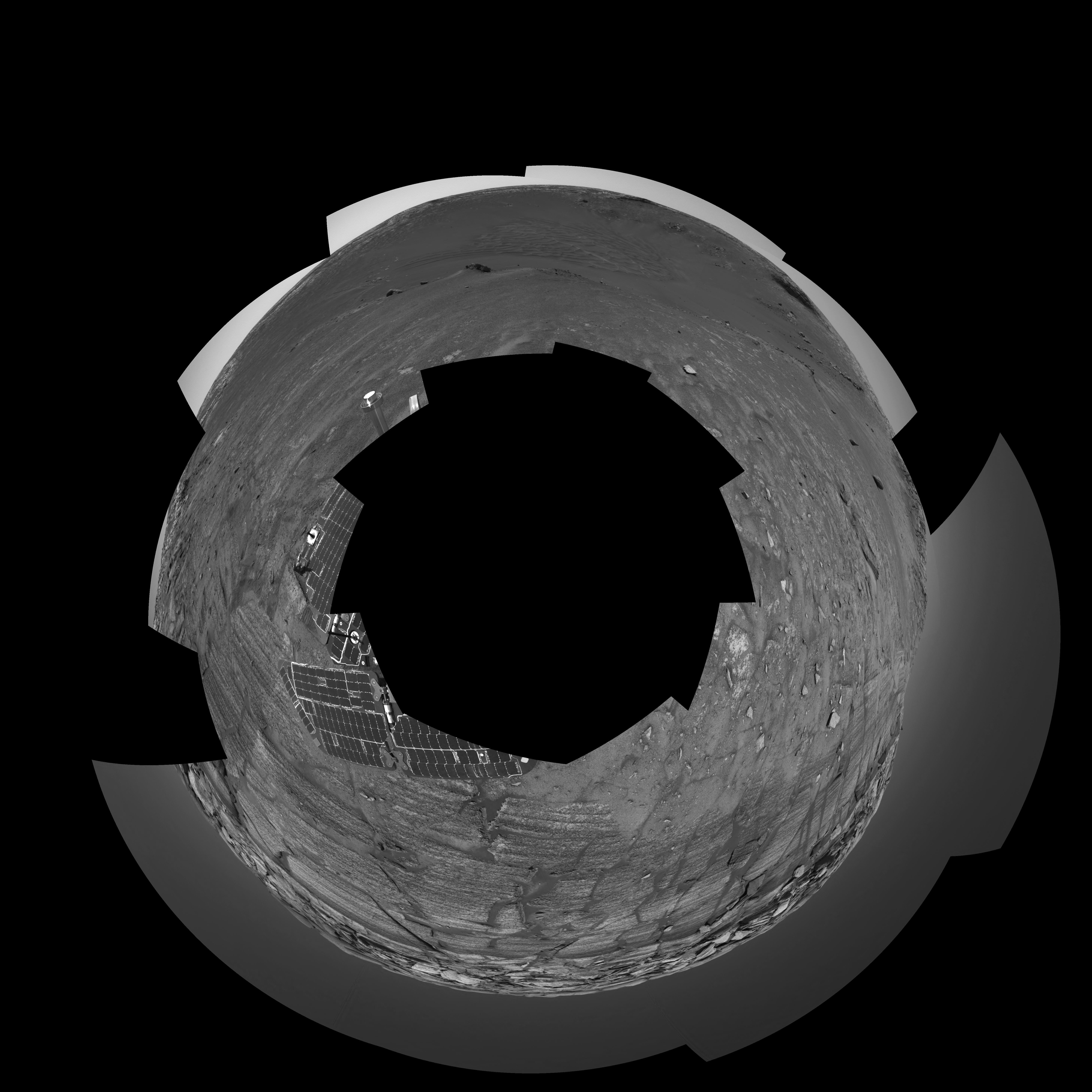
PIA07065:
Opportunity at the Wall (3-D)
Full Resolution:
TIFF
(33.09 MB)
JPEG
(1.763 MB)
2004-11-23
Mars
Mars Exploration Rover (MER)
Navigation Camera
7688x1949x1
PIA07066:
Opportunity at the Wall
Full Resolution:
TIFF
(7.927 MB)
JPEG
(1.302 MB)
2004-11-24
Mars
Mars Exploration Rover (MER)
Navigation Camera
5821x5821x1
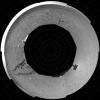
PIA07073:
Opportunity at the Wall (Polar)
Full Resolution:
TIFF
(12.16 MB)
JPEG
(1.738 MB)
2004-11-24
Mars
Mars Exploration Rover (MER)
Navigation Camera
5000x5000x1
PIA07074:
Opportunity at the Wall (Vertical)
Full Resolution:
TIFF
(12.44 MB)
JPEG
(1.482 MB)
2004-11-24
Mars
Mars Global Surveyor (MGS)
Mars Orbiter Camera (MOC)
672x4015x1
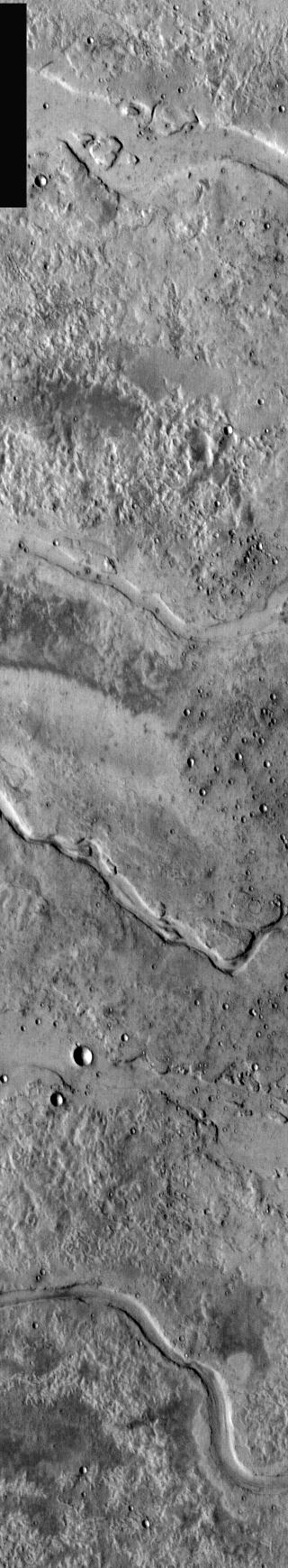
PIA07079:
Inverted Valley in Arabia
Full Resolution:
TIFF
(2.701 MB)
JPEG
(797.8 kB)
2004-11-24
Mars
2001 Mars Odyssey
THEMIS
320x2848x1
PIA07080:
Tyrrhena Patera Nighttime IR
Full Resolution:
TIFF
(912.5 kB)
JPEG
(208.7 kB)
2004-11-24
Mars
Mars Exploration Rover (MER)
Navigation Camera
7704x1177x3
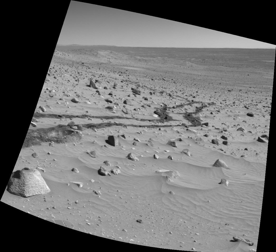
PIA07075:
Track of Right-Wheel Drag (3-D)
Full Resolution:
TIFF
(18.7 MB)
JPEG
(1.166 MB)
2004-11-24
Mars
Mars Exploration Rover (MER)
Navigation Camera
7466x992x1
PIA07076:
Track of Right-Wheel Drag
Full Resolution:
TIFF
(6.227 MB)
JPEG
(1.053 MB)
2004-11-24
Mars
Mars Exploration Rover (MER)
Navigation Camera
4051x4051x1
PIA07077:
Track of Right-Wheel Drag (Polar)
Full Resolution:
TIFF
(9.453 MB)
JPEG
(1.743 MB)
2004-11-24
Mars
Mars Exploration Rover (MER)
Navigation Camera
3000x3000x1
PIA07078:
Track of Right-Wheel Drag (Vertical)
Full Resolution:
TIFF
(8.111 MB)
JPEG
(1.16 MB)
2004-11-25
Mars
Mars Global Surveyor (MGS)
Mars Orbiter Camera (MOC)
836x1254x1
PIA07090:
Sedimentary Rocks and Dunes
Full Resolution:
TIFF
(1.05 MB)
JPEG
(161.7 kB)
2004-11-25
Mars
2001 Mars Odyssey
THEMIS
320x990x1
PIA07158:
Nirgal Vallis Nighttime IR
Full Resolution:
TIFF
(317.4 kB)
JPEG
(97.56 kB)
2004-11-26
Mars
Mars Global Surveyor (MGS)
Mars Orbiter Camera (MOC)
836x2183x1
PIA07091:
Streamlined "Island"
Full Resolution:
TIFF
(1.827 MB)
JPEG
(275.2 kB)
2004-11-26
Mars
2001 Mars Odyssey
THEMIS
320x1738x1
PIA07159:
Granicus Vallis Channels
Full Resolution:
TIFF
(557 kB)
JPEG
(115 kB)
2004-11-27
Mars
Mars Global Surveyor (MGS)
Mars Orbiter Camera (MOC)
640x2161x1
PIA07092:
Meridiani's Rocks
Full Resolution:
TIFF
(1.385 MB)
JPEG
(307.4 kB)
2004-11-28
Mars
Mars Global Surveyor (MGS)
Mars Orbiter Camera (MOC)
640x1455x1
PIA07093:
North Polar Features
Full Resolution:
TIFF
(932.4 kB)
JPEG
(370.7 kB)
2004-11-29
Mars
Mars Global Surveyor (MGS)
Mars Orbiter Camera (MOC)
609x913x1
PIA07094:
Bouldery Impact Ejecta
Full Resolution:
TIFF
(542.6 kB)
JPEG
(88.69 kB)
2004-11-29
Mars
2001 Mars Odyssey
THEMIS
1363x3067x1
PIA07160:
Minio Vallis Channel
Full Resolution:
TIFF
(3.212 MB)
JPEG
(385.1 kB)
2004-11-30
Mars
Mars Global Surveyor (MGS)
Mars Orbiter Camera (MOC)
1116x853x1
PIA07095:
East Candor cPROTO
Full Resolution:
TIFF
(953.2 kB)
JPEG
(163.9 kB)
2004-11-30
Mars
2001 Mars Odyssey
THEMIS
1426x3223x1
PIA07161:
Channel/Crater Interaction
Full Resolution:
TIFF
(3.188 MB)
JPEG
(434.9 kB)
2004-11-30
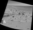
Mars
Mars Exploration Rover (MER)
Hazcam
1024x1024x1
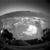
PIA07081:
Mars Rover Studies Soil on Mars
Full Resolution:
TIFF
(647.4 kB)
JPEG
(66.52 kB)
2004-11-30
Mars
Mars Exploration Rover (MER)
Microscopic Imager
1024x1024x1
PIA07082:
Closeup View of Compacted Soil
Full Resolution:
TIFF
(1.05 MB)
JPEG
(173.9 kB)
2004-12-01
Mars
Mars Global Surveyor (MGS)
Mars Orbiter Camera (MOC)
601x988x1
PIA07116:
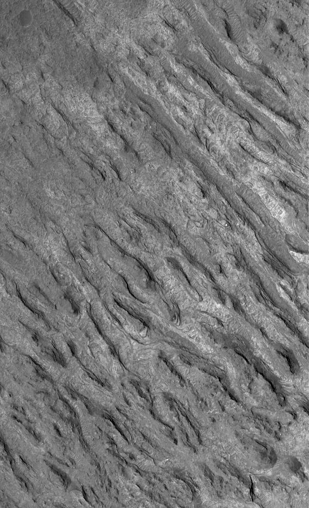
Crater Floor Yardangs
Full Resolution:
TIFF
(594.6 kB)
JPEG
(130.3 kB)
2004-12-01
Mars
2001 Mars Odyssey
THEMIS
1445x3225x1
PIA07162:
Olympica Fossae
Full Resolution:
TIFF
(2.829 MB)
JPEG
(389 kB)
2004-12-02
Mars
Mars Global Surveyor (MGS)
Mars Orbiter Camera (MOC)
640x1633x1
PIA07117:
Lava Flow Features
Full Resolution:
TIFF
(1.046 MB)
JPEG
(193.9 kB)
2004-12-02
Mars
2001 Mars Odyssey
THEMIS
707x1605x1
PIA07163:
Olympica Fossae Redux
Full Resolution:
TIFF
(740 kB)
JPEG
(91.21 kB)
2004-12-02
Mars
Mars Exploration Rover (MER)
Navigation Camera
4704x1721x1
PIA07083:
No Shortcut for Opportunity
Full Resolution:
TIFF
(4.034 MB)
JPEG
(620 kB)
2004-12-02
Mars
Mars Exploration Rover (MER)
Navigation Camera
4743x2190x3
PIA07084:
No Shortcut for Opportunity (3-D)
Full Resolution:
TIFF
(13.34 MB)
JPEG
(791.8 kB)
2004-12-03
Mars
Mars Global Surveyor (MGS)
Mars Orbiter Camera (MOC)
672x1152x1
PIA07118:
North Polar Layers
Full Resolution:
TIFF
(775.1 kB)
JPEG
(194.4 kB)
2004-12-03
Mars
2001 Mars Odyssey
THEMIS
1458x3220x1
PIA07164:
Hebrus Vallis
Full Resolution:
TIFF
(3.324 MB)
JPEG
(447.8 kB)
2004-12-04
Mars
Mars Global Surveyor (MGS)
Mars Orbiter Camera (MOC)
949x1424x1
PIA07119:
Polygon/Cracked Sedimentary Rock
Full Resolution:
TIFF
(1.353 MB)
JPEG
(440 kB)
2004-12-05
Mars
Mars Global Surveyor (MGS)
Mars Orbiter Camera (MOC)
601x902x1
PIA07120:
Layers in Shalbatana Vallis
Full Resolution:
TIFF
(542.9 kB)
JPEG
(139.6 kB)
2004-12-06
Mars
Mars Global Surveyor (MGS)
Mars Orbiter Camera (MOC)
512x1058x1
PIA07121:
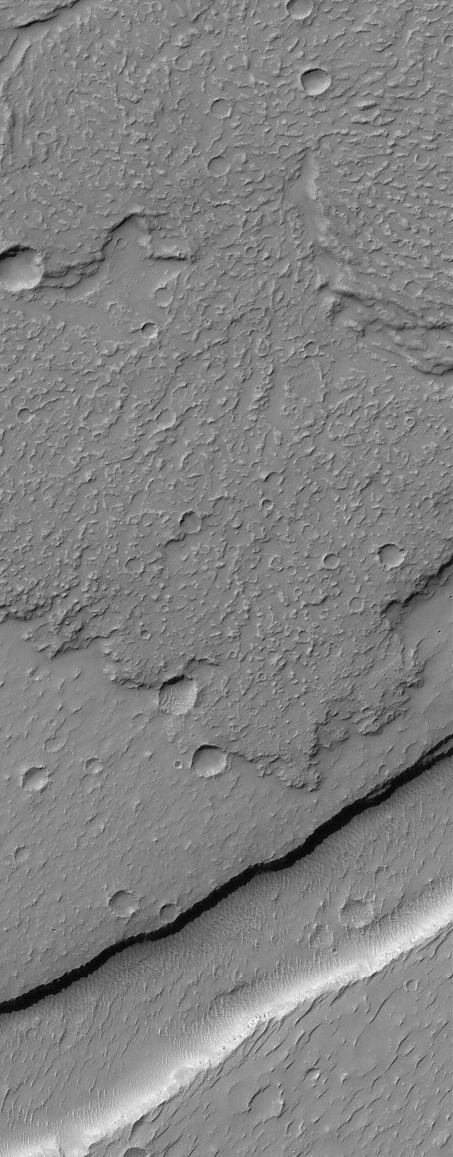
Layers and Streaks
Full Resolution:
TIFF
(542.5 kB)
JPEG
(85.24 kB)
2004-12-06
Mars
2001 Mars Odyssey
THEMIS
320x845x1
PIA07165:
Crater in Nighttime IR
Full Resolution:
TIFF
(270.9 kB)
JPEG
(61.04 kB)
2004-12-07
Mars
Mars Global Surveyor (MGS)
Mars Orbiter Camera (MOC)
1024x1536x1
PIA07122:
Hypanis Layered Outcrop
Full Resolution:
TIFF
(1.575 MB)
JPEG
(381 kB)
2004-12-07
Mars
2001 Mars Odyssey
THEMIS
320x1295x1
PIA07166:
Nighttime IR Ejecta
Full Resolution:
TIFF
(415 kB)
JPEG
(102.7 kB)
2004-12-08
Mars
Mars Global Surveyor (MGS)
Mars Exploration Rover (MER)
Mars Orbiter Camera (MOC)
1282x995x3
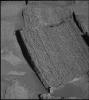
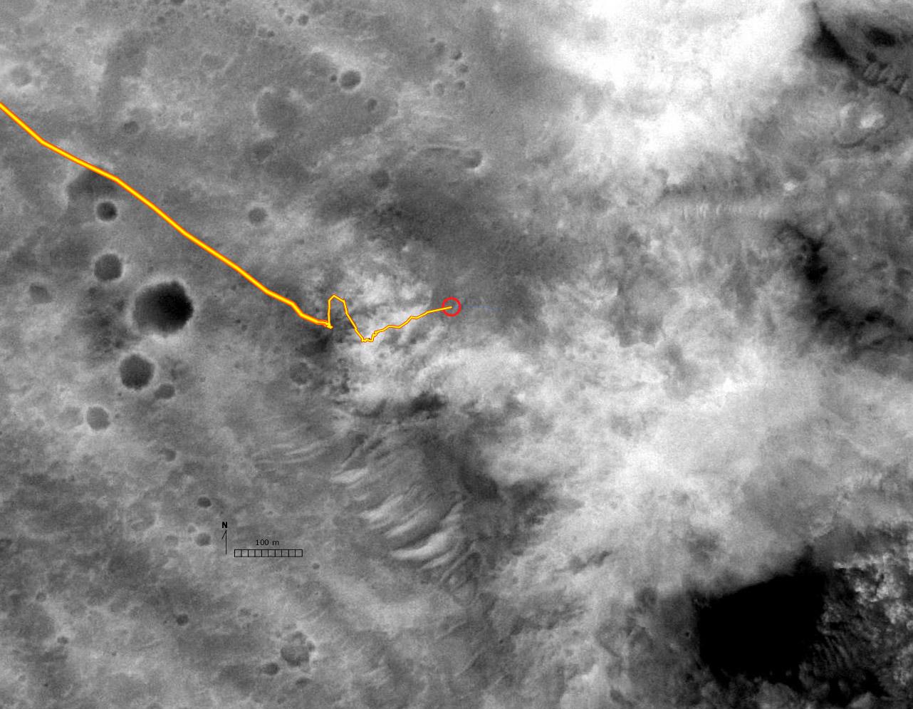
PIA07088:
Spirit's Route in Black and White
Full Resolution:
TIFF
(2.057 MB)
JPEG
(175.4 kB)
2004-12-08
Mars
Mars Global Surveyor (MGS)
Mars Exploration Rover (MER)
Mars Orbiter Camera (MOC)
1284x1001x3
PIA07089:
Digital Elevation Map of Spirit's Trek
Full Resolution:
TIFF
(3.346 MB)
JPEG
(82.94 kB)
2004-12-08
Mars
Mars Global Surveyor (MGS)
Mars Orbiter Camera (MOC)
512x768x1
PIA07123:
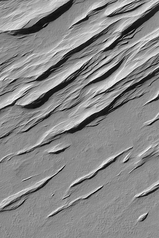
Memnonia Sulci Yardangs
Full Resolution:
TIFF
(393.8 kB)
JPEG
(100.4 kB)
2004-12-08
Mars
2001 Mars Odyssey
THEMIS
320x1195x1
PIA07167:
Dusty Ejecta Blanket
Full Resolution:
TIFF
(383 kB)
JPEG
(89.36 kB)
2004-12-09
Mars
Mars Global Surveyor (MGS)
Mars Orbiter Camera (MOC)
512x1259x1
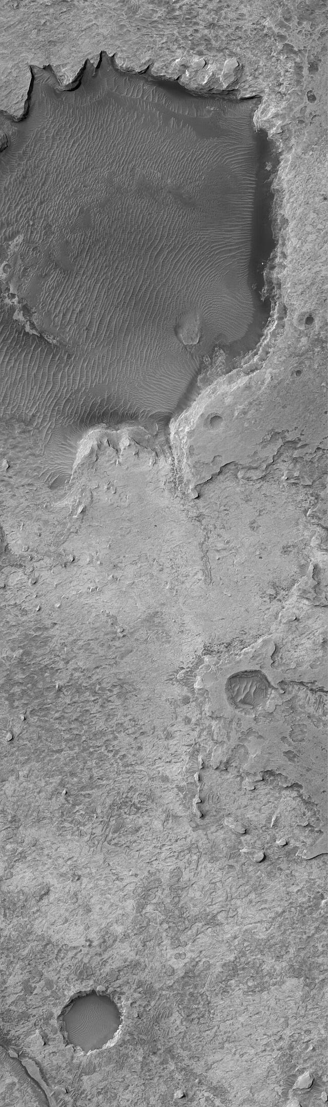
PIA07124:
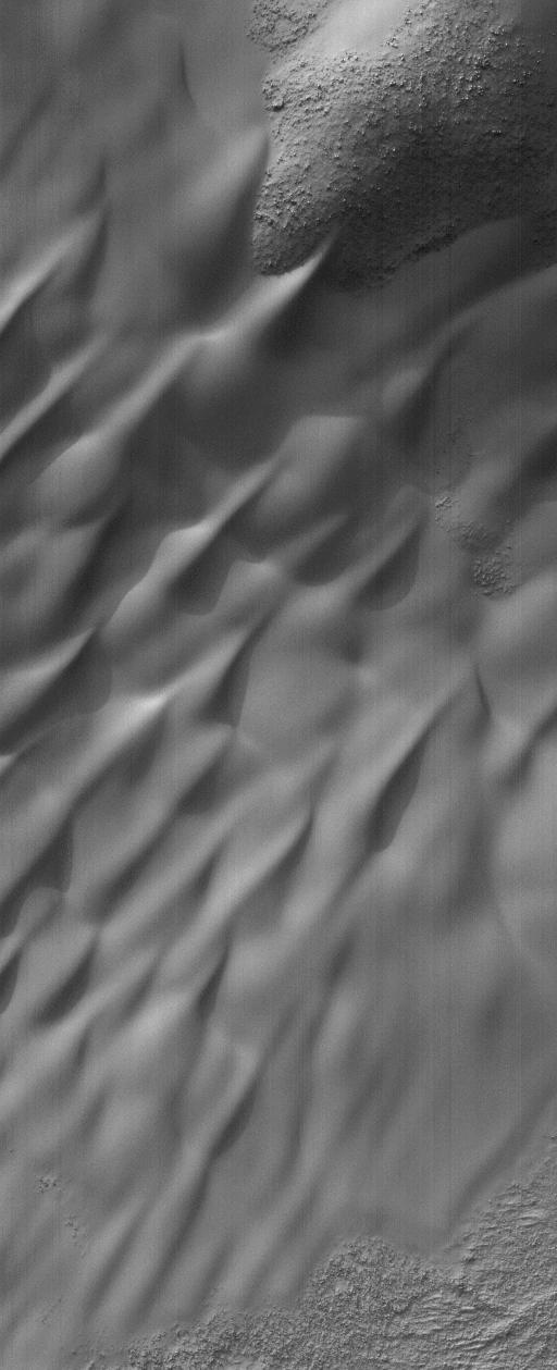
Lowell's Dunes
Full Resolution:
TIFF
(499.3 kB)
JPEG
(66.33 kB)
2004-12-09
Mars
2001 Mars Odyssey
THEMIS
320x1030x1
PIA07168:
Nighttime Wind Streaks
Full Resolution:
TIFF
(330.2 kB)
JPEG
(80.34 kB)
2004-12-10
Mars
Mars Global Surveyor (MGS)
Mars Orbiter Camera (MOC)
1020x1530x1
PIA07125:
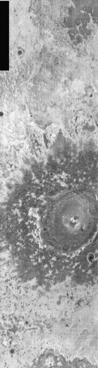
Northern Plains "Crater"
Full Resolution:
TIFF
(1.562 MB)
JPEG
(505.8 kB)
2004-12-10
Mars
2001 Mars Odyssey
THEMIS
320x1061x1
PIA07169:
Crater At Night
Full Resolution:
TIFF
(340.1 kB)
JPEG
(95.53 kB)
2004-12-10
Mars
Mars Exploration Rover (MER)
Panoramic Camera
912x1022x1
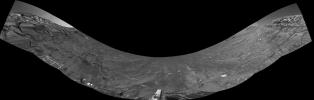
PIA07101:
Tantalizing 'Tipuna'
Full Resolution:
TIFF
(933.3 kB)
JPEG
(182.5 kB)
2004-12-11
Mars
Mars Global Surveyor (MGS)
Mars Orbiter Camera (MOC)
1024x3692x1
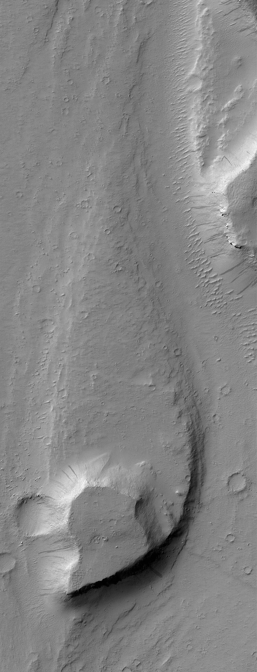
PIA07126:
Ceraunius Tholus Feature
Full Resolution:
TIFF
(3.28 MB)
JPEG
(405.3 kB)
2004-12-12
Mars
Mars Global Surveyor (MGS)
Mars Orbiter Camera (MOC)
836x1339x1
PIA07127:
Exhuming Craters in a Crater
Full Resolution:
TIFF
(1.093 MB)
JPEG
(148.7 kB)
2004-12-13
Mars
Mars Global Surveyor (MGS)
Mars Orbiter Camera (MOC)
916x2102x1
PIA07128:
Noachis Pit Crater Gullies
Full Resolution:
TIFF
(1.928 MB)
JPEG
(306.8 kB)
2004-12-13
Mars
2001 Mars Odyssey
THEMIS
1376x3060x1
PIA07170:
Meridiani Craters
Full Resolution:
TIFF
(3.334 MB)
JPEG
(539.9 kB)
2004-12-13
Mars
Mars Global Surveyor (MGS)
Mars Exploration Rover (MER)
Thermal Emission Spectrometer
794x274x3
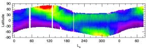
PIA07102:
Seasonal Trend in Water Vapor Seen from Orbit
Full Resolution:
TIFF
(262.8 kB)
JPEG
(35.92 kB)
2004-12-13
Mars
Mars Exploration Rover (MER)
Miniature Thermal Emission Spectrometer
794x559x3
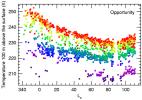
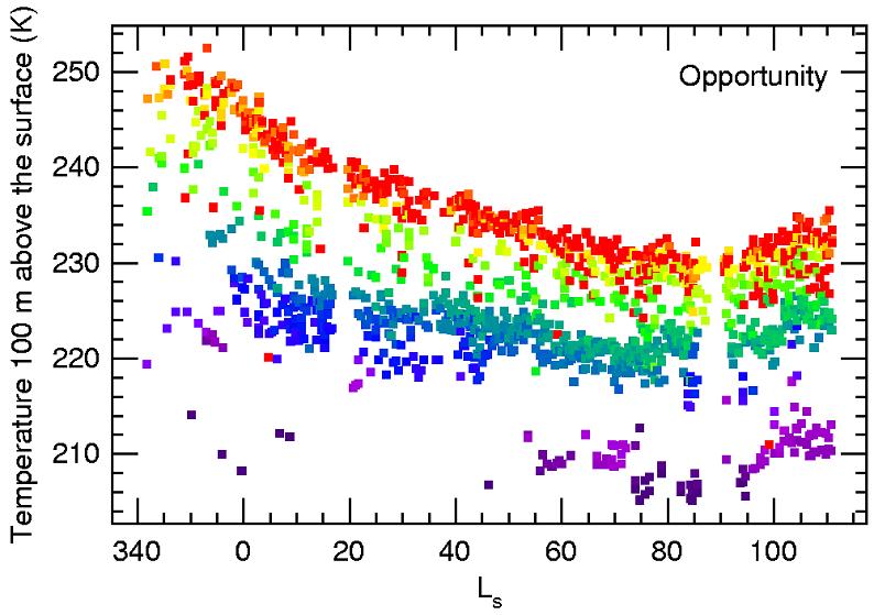
PIA07103:
Seasonal Air Temperatures Above Opportunity
Full Resolution:
TIFF
(205.1 kB)
JPEG
(76.92 kB)
2004-12-13
Mars
Mars Exploration Rover (MER)
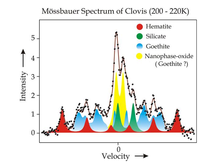
Moessbauer Spectrometer
720x540x3
PIA07104:
Water-Signature Mineral Found by Spirit
Full Resolution:
TIFF
(197.2 kB)
JPEG
(40.16 kB)
2004-12-13
Mars
Mars Exploration Rover (MER)
Navigation Camera
1907x607x1
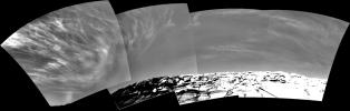
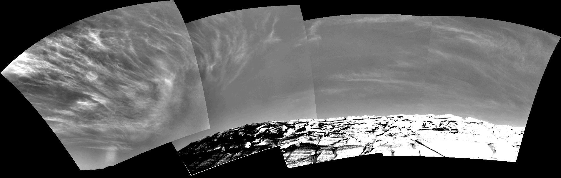
PIA07105:
Clouds over 'Endurance' on Sol 290
Full Resolution:
TIFF
(304.5 kB)
JPEG
(121.1 kB)
2004-12-13
Mars
Mars Exploration Rover (MER)
Navigation Camera
1907x607x1
PIA07106:
Clouds over 'Endurance' on Sol 291
Full Resolution:
TIFF
(346 kB)
JPEG
(125.5 kB)
2004-12-13
Mars
Mars Exploration Rover (MER)
Panoramic Camera
3072x1422x1
PIA07107:
Angled Layers in Super Resolution
Full Resolution:
TIFF
(4.374 MB)
JPEG
(805.2 kB)
2004-12-13
Mars
Mars Exploration Rover (MER)
Panoramic Camera
710x350x1
PIA07108:
Frost on Mars Rover Opportunity
Full Resolution:
TIFF
(247 kB)
JPEG
(35.39 kB)
2004-12-13
Mars
Mars Exploration Rover (MER)
Panoramic Camera
1804x825x1
PIA07109:
View of Spirit's Climb from Six Months Earlier
Full Resolution:
TIFF
(1.371 MB)
JPEG
(314.7 kB)
2004-12-13
Mars
Mars Exploration Rover (MER)
Panoramic Camera
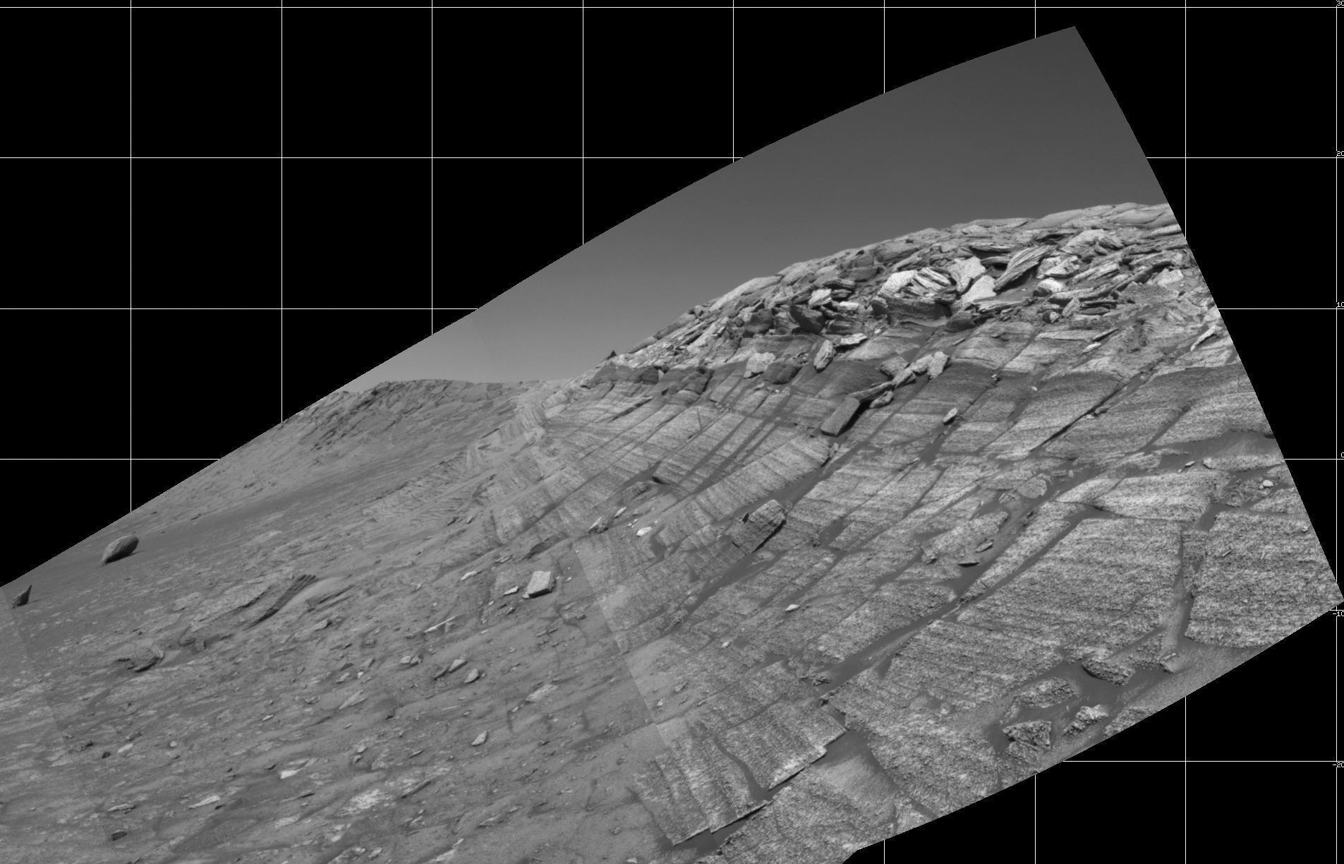
12316x4218x3
PIA07110:
'Burns Cliff' Color Panorama
Full Resolution:
TIFF
(105.3 MB)
JPEG
(15.85 MB)
QTVR
(7.594 MB)
2004-12-13
Mars
Mars Exploration Rover (MER)
Hazcam
1024x1024x1
PIA07111:
Out of 'Endurance,' Heading South
Full Resolution:
TIFF
(980.2 kB)
JPEG
(145.3 kB)
2004-12-13
Mars
Mars Exploration Rover (MER)
Hazcam
1024x1024x1
PIA07112:
Farewell Glance at 'Endurance'
Full Resolution:
TIFF
(948.2 kB)
JPEG
(132.8 kB)
2004-12-13
Mars
Mars Exploration Rover (MER)
Navigation Camera
1162x1058x1
PIA07113:
Spirit Looks Back on Sol 332
Full Resolution:
TIFF
(812.8 kB)
JPEG
(124.3 kB)
2004-12-14
Mars
Mars Global Surveyor (MGS)
Mars Orbiter Camera (MOC)
512x768x1
PIA07129:
Leveed Channel in Lava Flow
Full Resolution:
TIFF
(393.8 kB)
JPEG
(77.4 kB)
1-100
101-200
201-300
301-400
401-500
501-600
601-700
701-800
801-900
901-1000
Currently displaying images:
3061 - 3160
of 12718


