My
List |
Addition Date
|
Target
|
Mission
|
Instrument
|
Size
|

|
2006-05-22 |
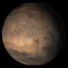
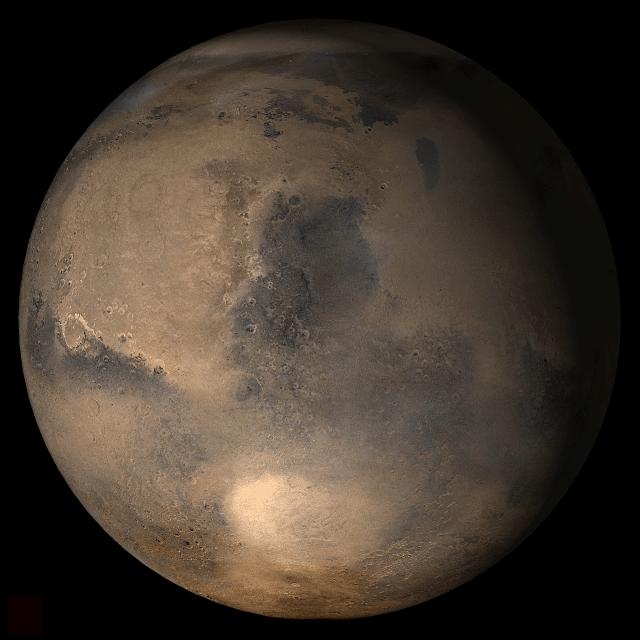
Mars
|
Mars Global Surveyor (MGS)
|
Mars Orbiter Camera (MOC)
|
836x2508x1 |
|
-
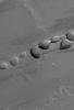
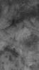
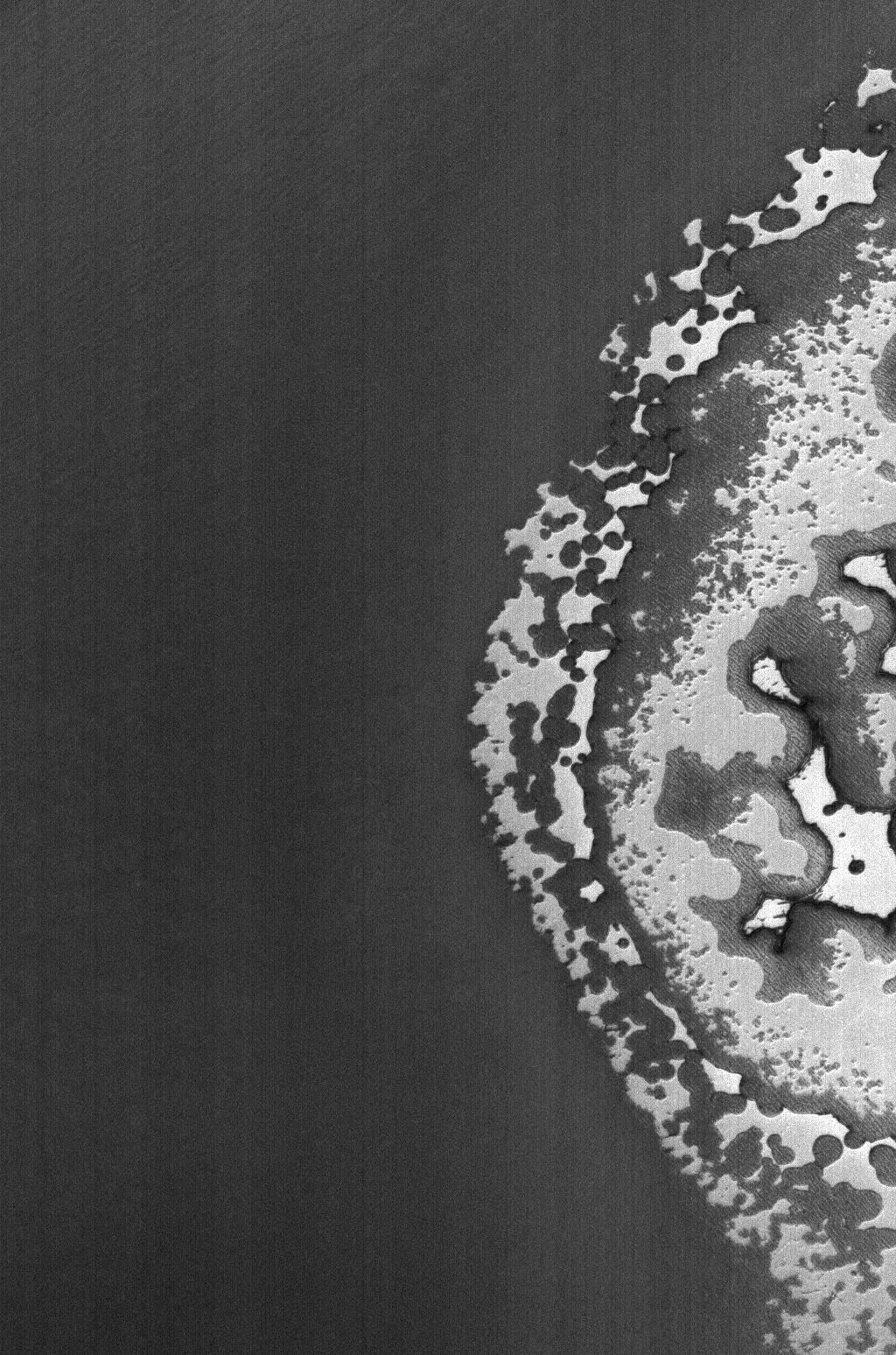
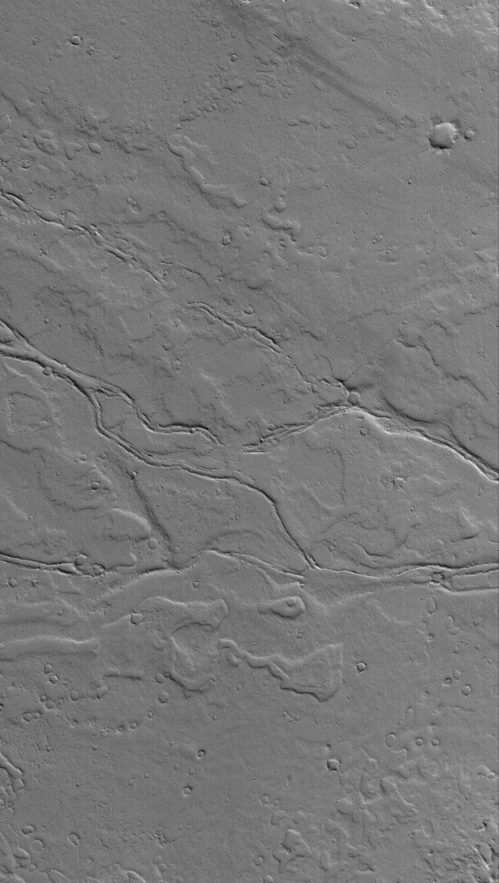
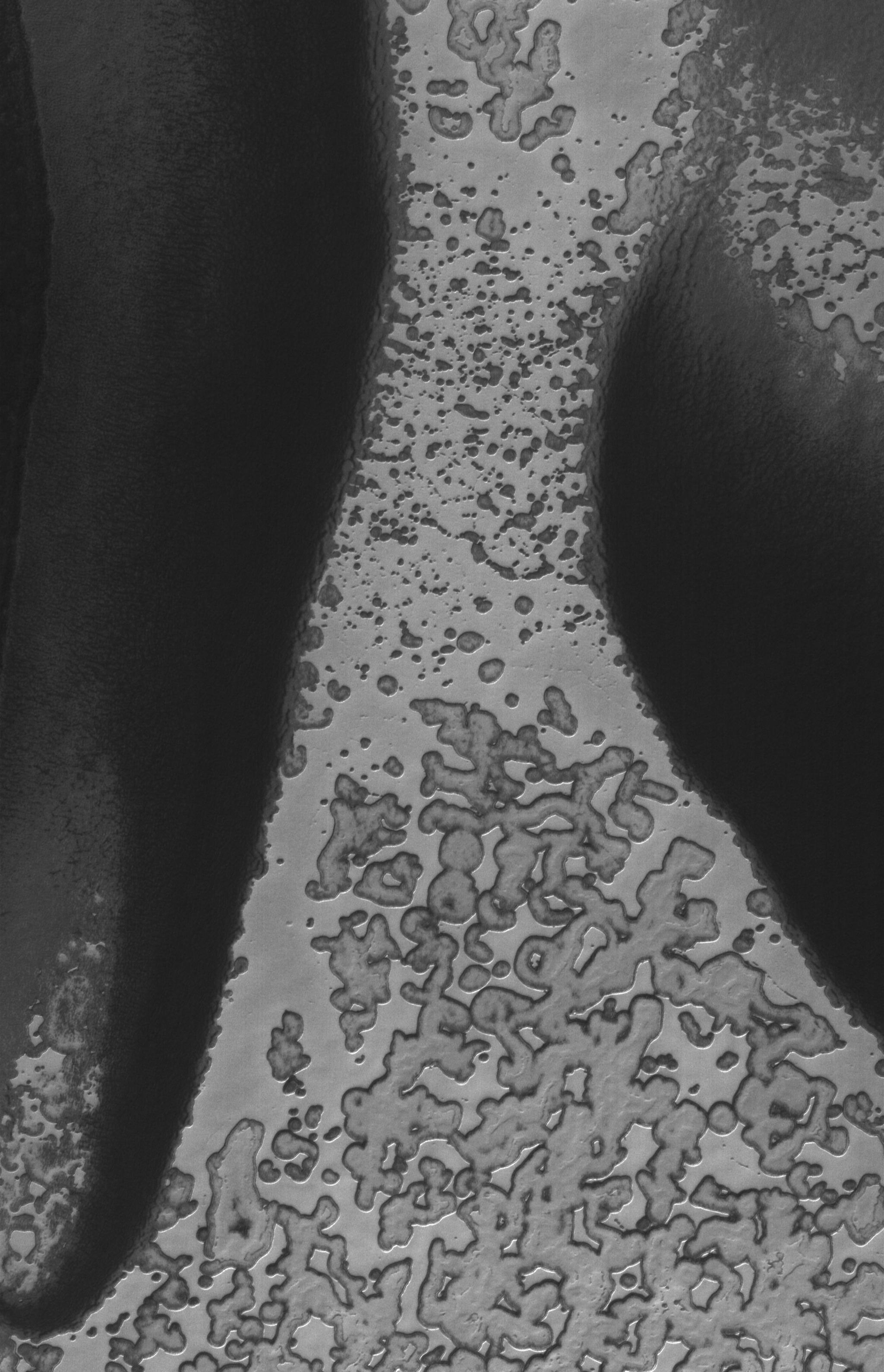
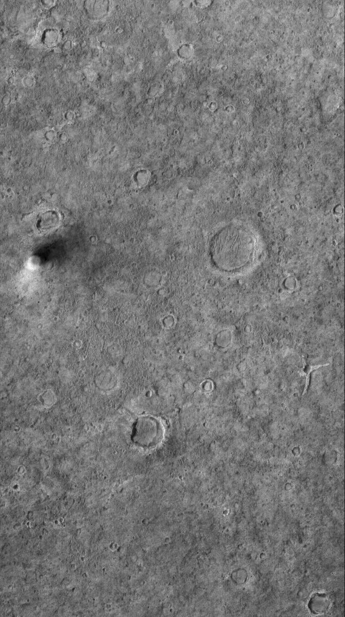
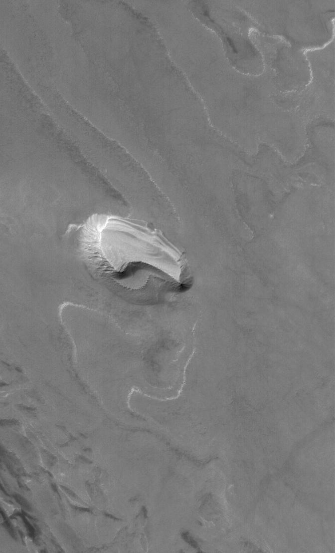
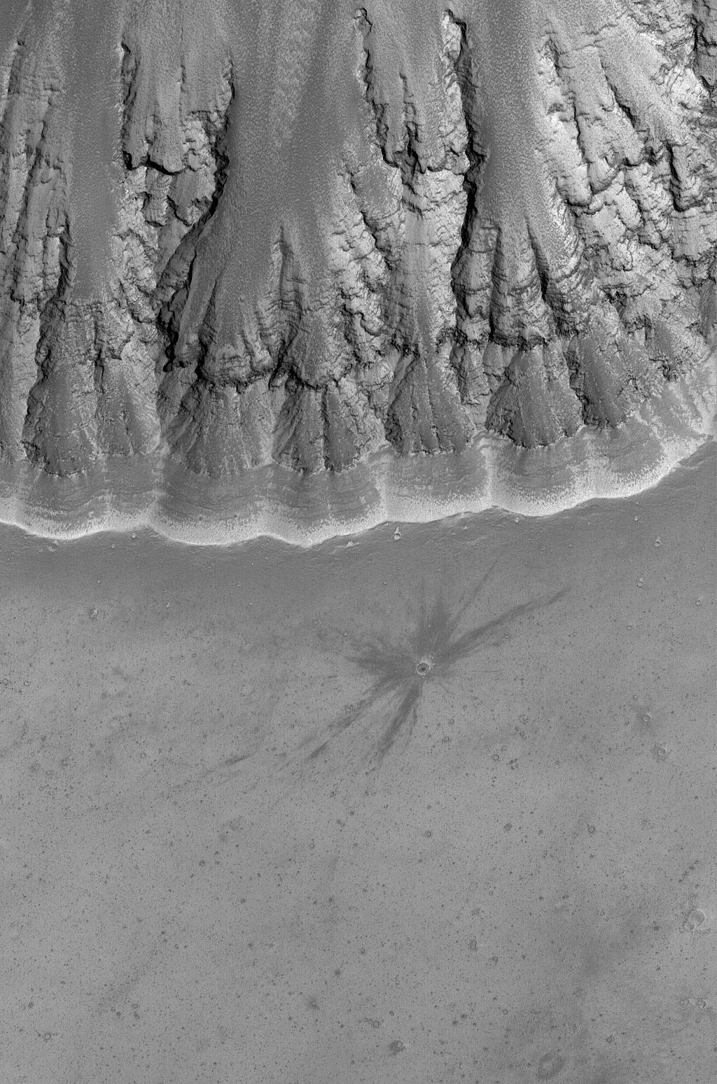
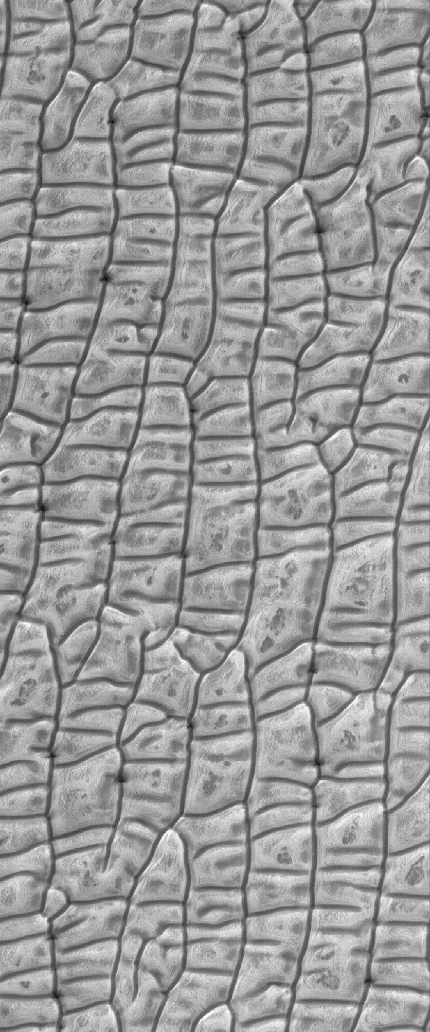
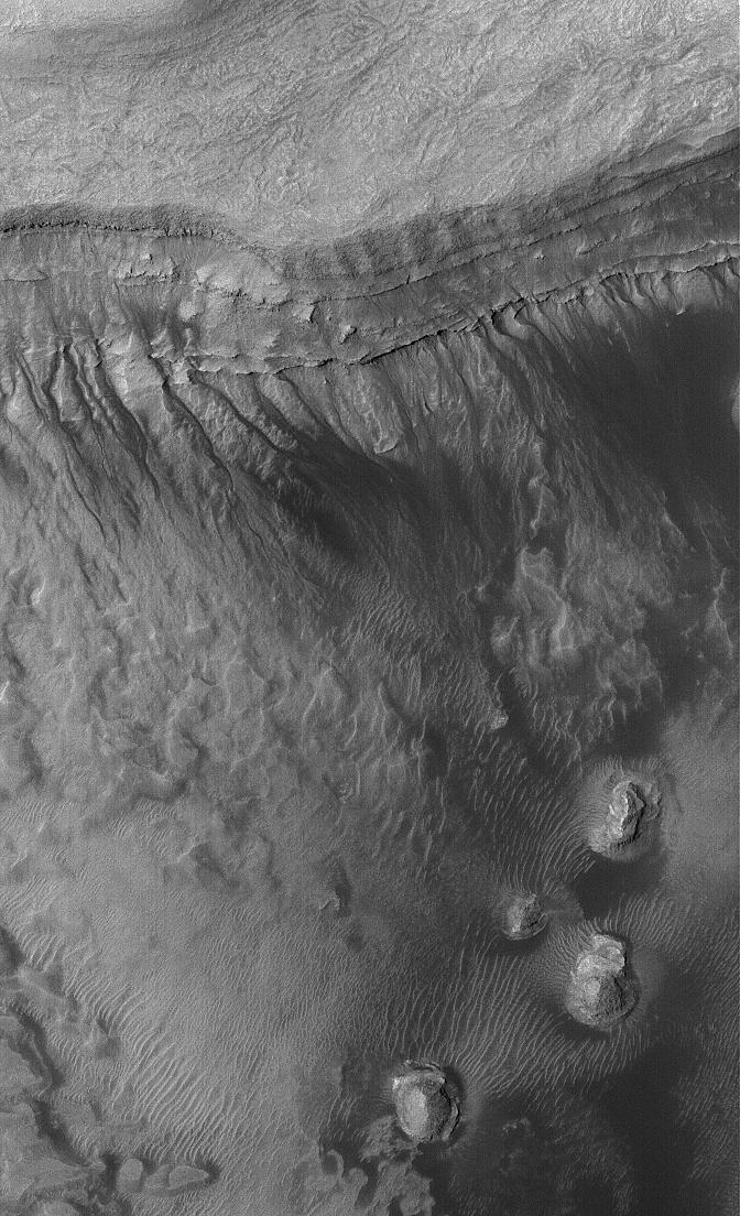
PIA08478:
-
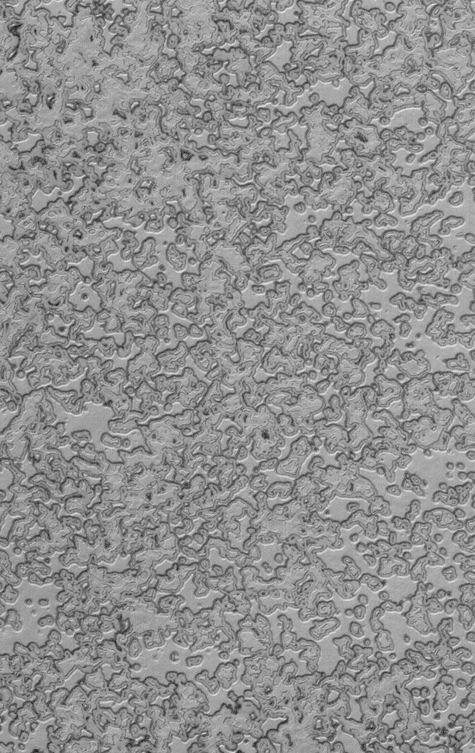
Tharsis Potluck
Full Resolution:
TIFF
(2.099 MB)
JPEG
(310 kB)
|
|
|
2006-05-21 |
Mars
|
Mars Global Surveyor (MGS)
|
Mars Orbiter Camera (MOC)
|
836x2462x1 |
|
-
PIA08477:
-
Polar Shells
Full Resolution:
TIFF
(2.061 MB)
JPEG
(458.7 kB)
|
|
|
2006-05-20 |
Mars
|
Mars Global Surveyor (MGS)
|
Mars Orbiter Camera (MOC)
|
672x1520x1 |
|
-
PIA08476:
-
South Layers
Full Resolution:
TIFF
(1.023 MB)
JPEG
(255.9 kB)
|
|
|
2006-05-19 |
Mars
|
Mars Global Surveyor (MGS)
|
Mars Orbiter Camera (MOC)
|
1024x1936x1 |
|
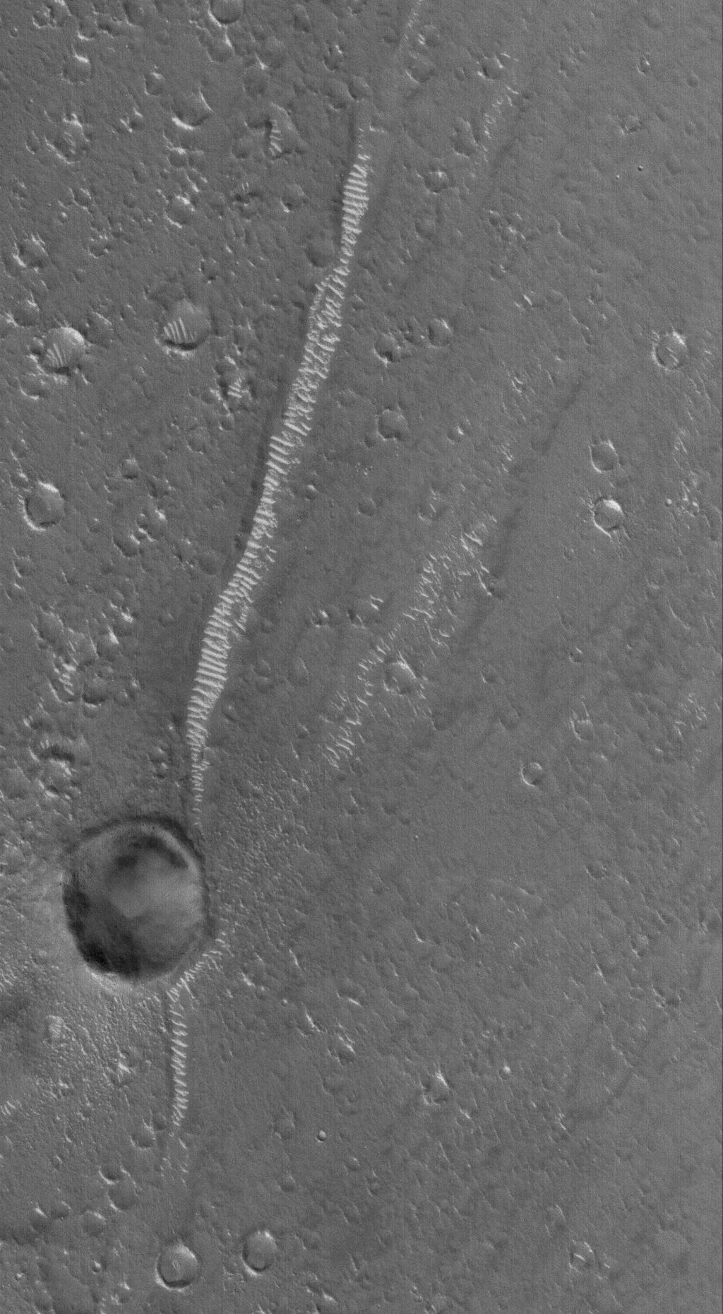
-
PIA08471:
-
Candor Exposed
Full Resolution:
TIFF
(1.985 MB)
JPEG
(208.8 kB)
|
|
|
2006-05-18 |
Mars
|
Mars Global Surveyor (MGS)
|
Mars Orbiter Camera (MOC)
|
836x1489x1 |

|
-
PIA08470:
-
Side-by-Side
Full Resolution:
TIFF
(1.246 MB)
JPEG
(102.9 kB)
|
|
|
2006-05-17 |
Mars
|
Mars Global Surveyor (MGS)
|
Mars Orbiter Camera (MOC)
|
1024x1512x1 |
|
-
PIA08469:
-
Into the Void
Full Resolution:
TIFF
(1.55 MB)
JPEG
(205.8 kB)
|
|
|
2006-05-16 |
Mars
|
Mars Global Surveyor (MGS)
|
Mars Orbiter Camera (MOC)
|
640x640x3 |
|
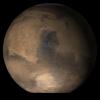
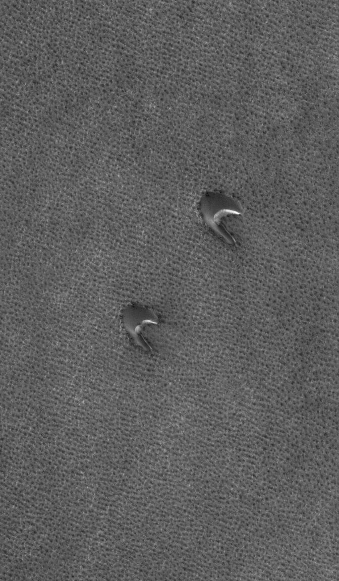
-
PIA08468:
-
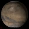
Mars at Ls 53°: Syrtis Major
Full Resolution:
TIFF
(411.8 kB)
JPEG
(36.86 kB)
|
|
|
2006-05-15 |
Mars
|
Mars Global Surveyor (MGS)
|
Mars Orbiter Camera (MOC)
|
1024x1548x1 |

|
-
PIA08461:
-
Outer Dregs
Full Resolution:
TIFF
(1.587 MB)
JPEG
(336.8 kB)
|
|
|
2006-05-14 |
Mars
|
Mars Global Surveyor (MGS)
|
Mars Orbiter Camera (MOC)
|
2048x2920x1 |
|
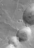
-
PIA08460:
-
Union
Full Resolution:
TIFF
(5.986 MB)
JPEG
(563.4 kB)
|
|
|
2006-05-13 |
Mars
|
Mars Global Surveyor (MGS)
|
Mars Orbiter Camera (MOC)
|
1024x2268x1 |
|
-
PIA08459:
-
Evros Vallis
Full Resolution:
TIFF
(2.325 MB)
JPEG
(197.9 kB)
|
|
|
2006-05-12 |
Mars
|
Mars Global Surveyor (MGS)
|
Mars Orbiter Camera (MOC)
|
1024x1476x1 |
|
-
PIA08458:
-
Acheron Trough
Full Resolution:
TIFF
(1.513 MB)
JPEG
(210.1 kB)
|
|
|
2006-05-11 |
Mars
|
Mars Global Surveyor (MGS)
|
Mars Orbiter Camera (MOC)
|
1024x2574x1 |
|
-
PIA08457:
-
Filled Craters
Full Resolution:
TIFF
(2.639 MB)
JPEG
(241.3 kB)
|
|
|
2006-05-10 |
Mars
|
Mars Global Surveyor (MGS)
|
Mars Orbiter Camera (MOC)
|
2048x2910x1 |
|
-
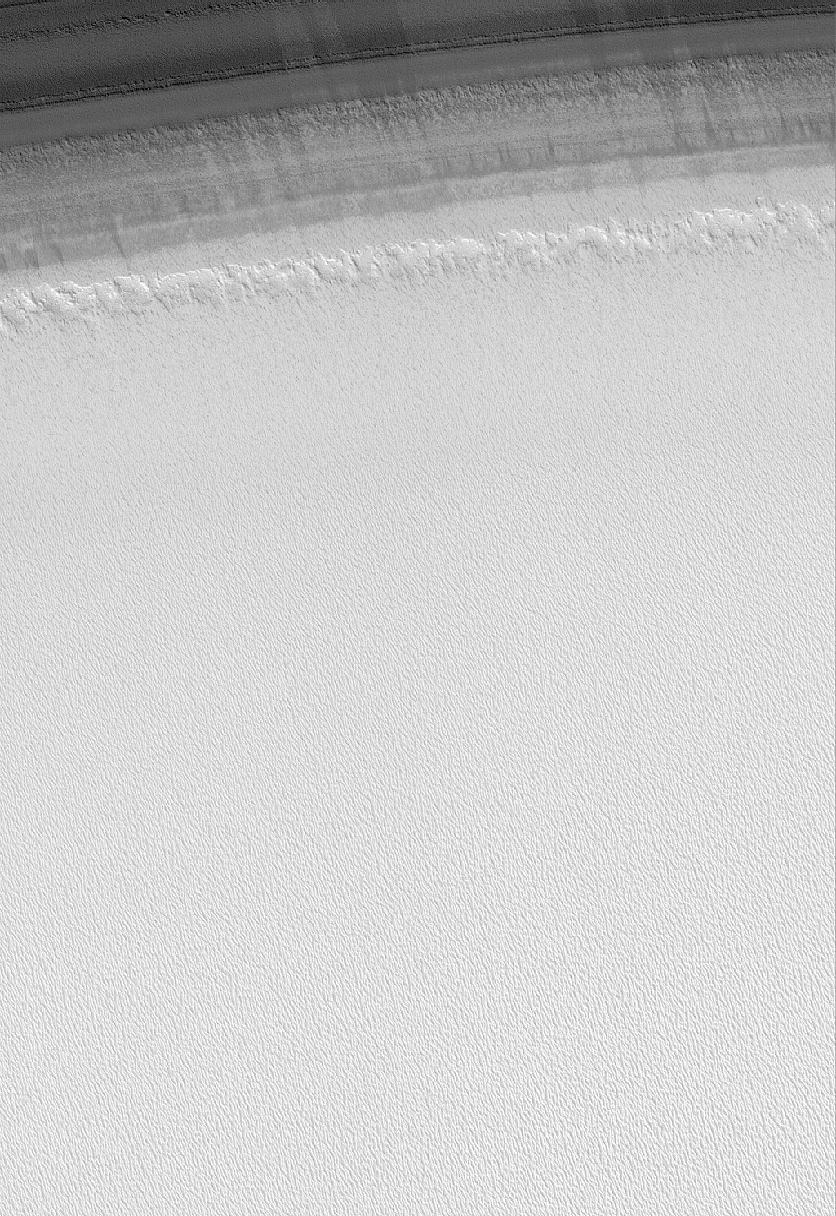
PIA08456:
-
Residual Cap
Full Resolution:
TIFF
(5.966 MB)
JPEG
(754.8 kB)
|
|
|
2006-05-09 |
Mars
|
Mars Global Surveyor (MGS)
|
Mars Orbiter Camera (MOC)
|
640x640x3 |
|
-
PIA08450:
-
Mars at Ls 53°: Acidalia/Mare Erythraeum
Full Resolution:
TIFF
(411.8 kB)
JPEG
(33.62 kB)
|
|
|
2006-05-08 |
Mars
|
Mars Global Surveyor (MGS)
Mars Exploration Rover (MER)
|
Mars Orbiter Camera (MOC)
|
4973x4407x3 |
|
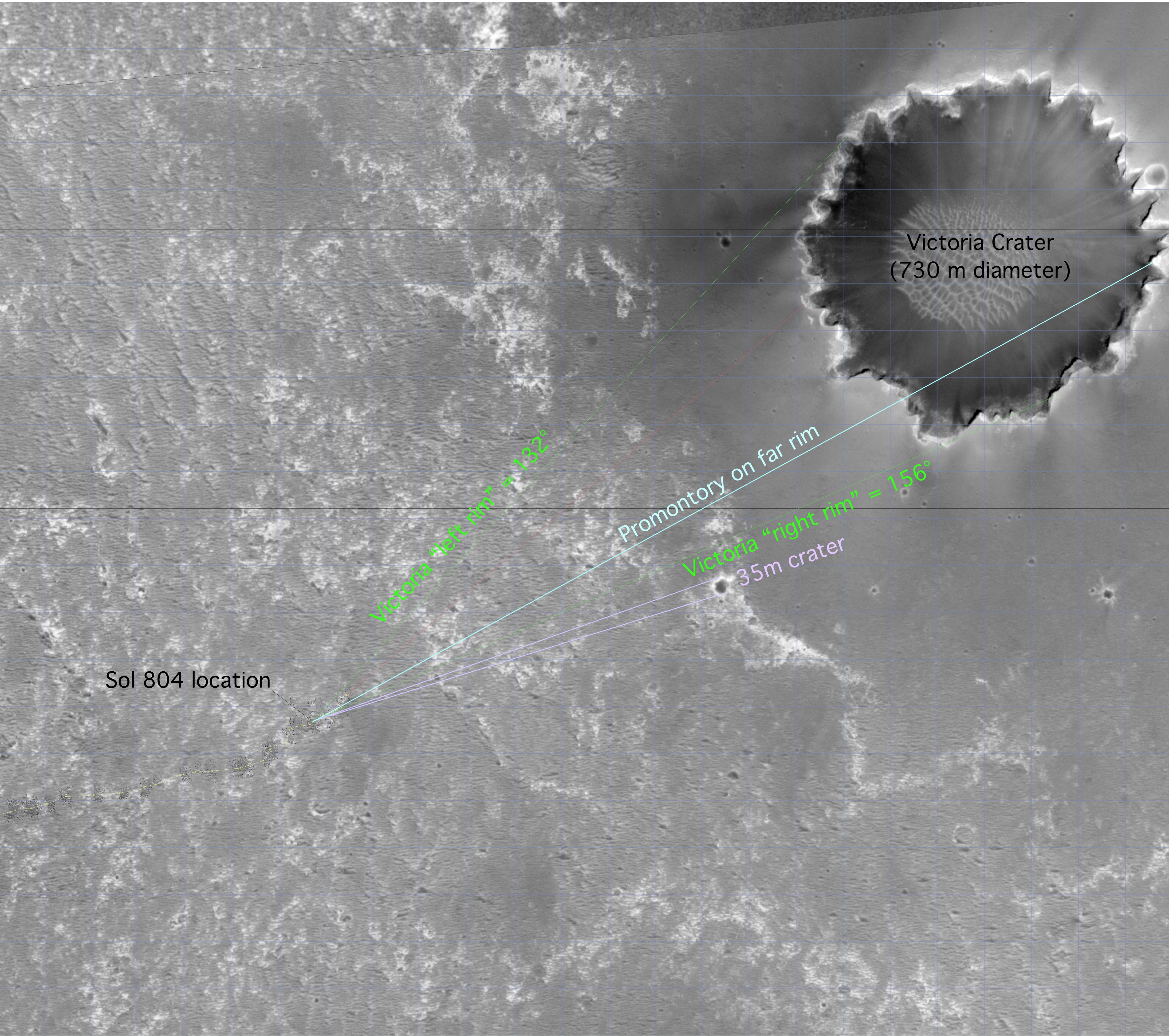
-
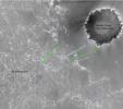
PIA08447:
-
'Victoria' on Opportunity's Horizon (Orbital View)
Full Resolution:
TIFF
(65.75 MB)
JPEG
(2.126 MB)
|
|
|
2006-05-08 |
Mars
|
Mars Global Surveyor (MGS)
|
Mars Orbiter Camera (MOC)
|
1024x2520x1 |

|
-
PIA08437:
-
Polar Plumage
Full Resolution:
TIFF
(2.583 MB)
JPEG
(307.1 kB)
|
|
|
2006-05-07 |
Mars
|
Mars Global Surveyor (MGS)
|
Mars Orbiter Camera (MOC)
|
672x2195x1 |
|
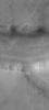
-
PIA08436:
-
Under Attack
Full Resolution:
TIFF
(1.477 MB)
JPEG
(320.9 kB)
|
|
|
2006-05-06 |
Mars
|
Mars Global Surveyor (MGS)
|
Mars Orbiter Camera (MOC)
|
1024x2004x1 |
|
-
PIA08435:
-
Chryse Streak
Full Resolution:
TIFF
(2.054 MB)
JPEG
(297.9 kB)
|
|
|
2006-05-05 |
Mars
|
Mars Global Surveyor (MGS)
|
Mars Orbiter Camera (MOC)
|
2048x3279x1 |

|
-
PIA08434:
-
Summer Modification
Full Resolution:
TIFF
(6.722 MB)
JPEG
(930.5 kB)
|
|
|
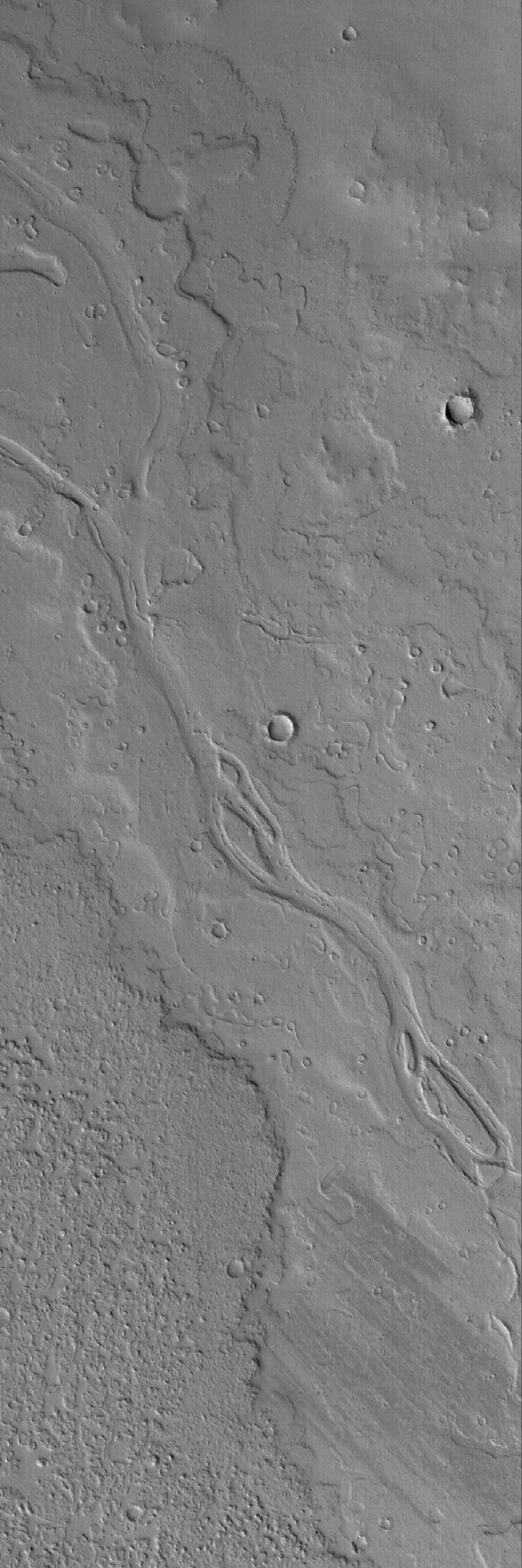
2006-05-04 |
Mars
|
Mars Global Surveyor (MGS)
|
Mars Orbiter Camera (MOC)
|
1024x1812x1 |
|
-
PIA08433:
-
Ancient Tharsis Flows
Full Resolution:
TIFF
(1.858 MB)
JPEG
(250.8 kB)
|
|
|
2006-05-03 |
Mars
|
Mars Global Surveyor (MGS)
|
Mars Orbiter Camera (MOC)
|
672x992x1 |
|
-
PIA08432:
-
Acidalia Plain
Full Resolution:
TIFF
(667.5 kB)
JPEG
(101.3 kB)
|
|
|
2006-05-02 |
Mars
|
Mars Global Surveyor (MGS)
|
Mars Orbiter Camera (MOC)
|
640x640x3 |
|
-
PIA08431:
-
Mars at Ls 53°: Tharsis
Full Resolution:
TIFF
(411.8 kB)
JPEG
(35.22 kB)
|
|
|
2006-05-01 |
Mars
|
Mars Global Surveyor (MGS)
|
Mars Orbiter Camera (MOC)
|
1024x2359x1 |
|
-
PIA08109:
-
Melas Materials
Full Resolution:
TIFF
(2.418 MB)
JPEG
(451.3 kB)
|
|
|
2006-04-30 |
Mars
|
Mars Global Surveyor (MGS)
|
Mars Orbiter Camera (MOC)
|
1024x1616x1 |
|
-
PIA08108:
-
Tiled Floor
Full Resolution:
TIFF
(1.657 MB)
JPEG
(466.6 kB)
|
|
|
2006-04-29 |
Mars
|
Mars Global Surveyor (MGS)
|
Mars Orbiter Camera (MOC)
|
2048x2712x1 |
|
-
PIA08107:
-
South Polar Designs
Full Resolution:
TIFF
(5.56 MB)
JPEG
(1.151 MB)
|
|
|
2006-04-28 |
Mars
|
Mars Global Surveyor (MGS)
|
Mars Orbiter Camera (MOC)
|
1024x2504x1 |
|
-
PIA08106:
-
Mars Maze
Full Resolution:
TIFF
(2.567 MB)
JPEG
(418.3 kB)
|
|
|
2006-04-27 |
Mars
|
Mars Global Surveyor (MGS)
|
Mars Orbiter Camera (MOC)
|
2048x2304x1 |
|
-
PIA08105:
-
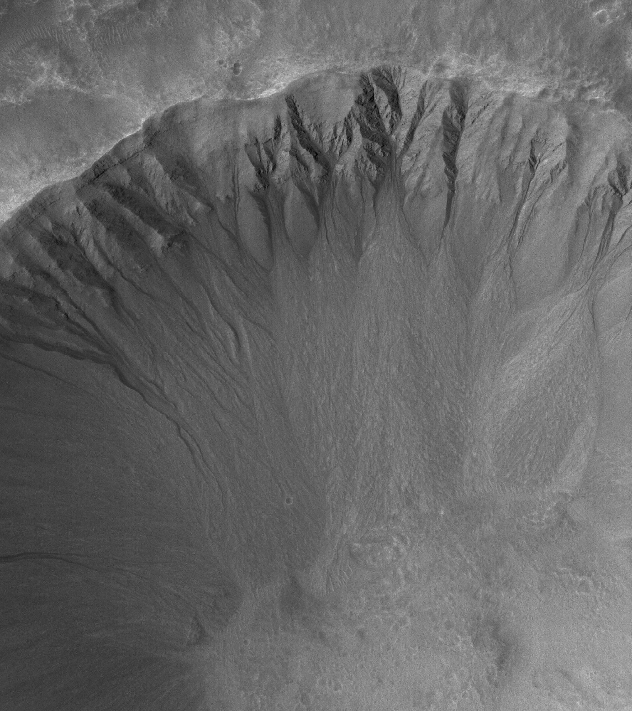
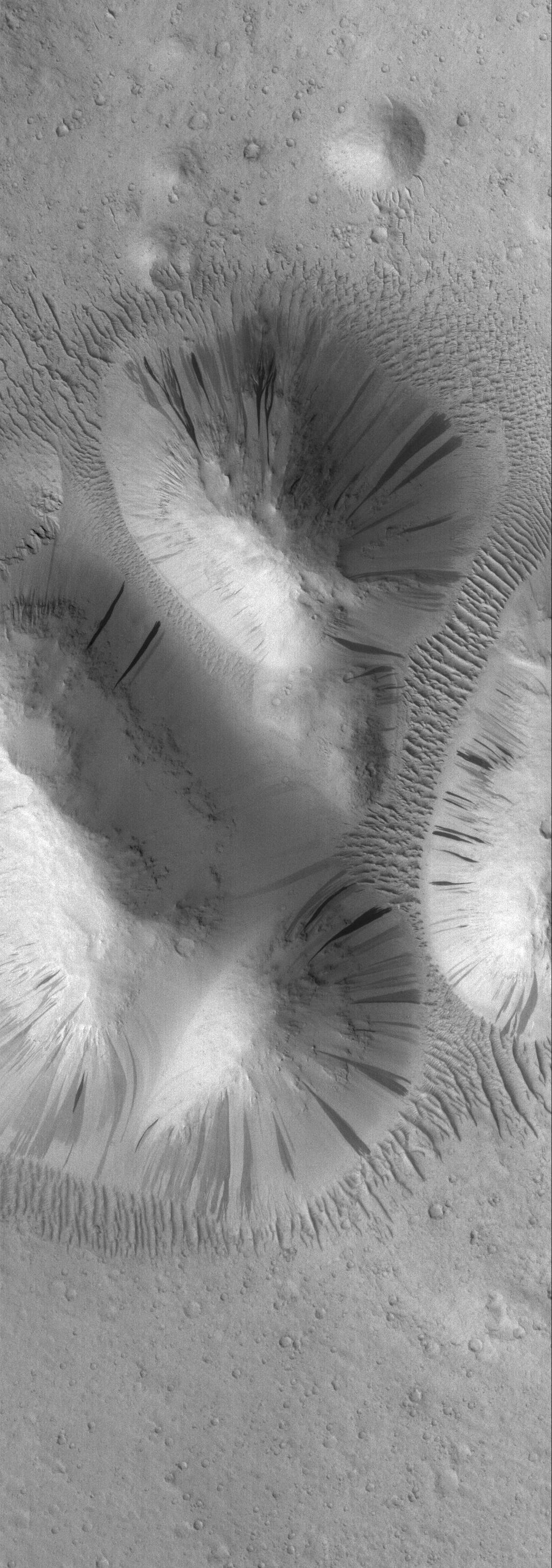
Gullies Galore
Full Resolution:
TIFF
(4.723 MB)
JPEG
(618.5 kB)
|
|
|
2006-04-25 |
Mars
|
Mars Global Surveyor (MGS)
|
Mars Orbiter Camera (MOC)
|
1024x1656x1 |
|
-
PIA08102:
-
Russell Extravaganza
Full Resolution:
TIFF
(1.698 MB)
JPEG
(166.1 kB)
|
|
|
2006-04-25 |
Mars
|
Mars Global Surveyor (MGS)
|
Mars Orbiter Camera (MOC)
|
640x640x3 |
|
-
PIA08101:
-
Mars at Ls 39°: Elysium/Mare Cimmerium
Full Resolution:
TIFF
(411.8 kB)
JPEG
(33.7 kB)
|
|
|
2006-04-24 |
Mars
|
Mars Global Surveyor (MGS)
|
Mars Orbiter Camera (MOC)
|
2048x3180x1 |
|
-
PIA08091:
-
CO2 Hourglass
Full Resolution:
TIFF
(6.519 MB)
JPEG
(620.1 kB)
|
|
|
2006-04-23 |
Mars
|
Mars Global Surveyor (MGS)
|
Mars Orbiter Camera (MOC)
|
1024x1523x1 |
|
-
PIA08090:
-
Memnonia Texture
Full Resolution:
TIFF
(1.561 MB)
JPEG
(373.5 kB)
|
|
|
2006-04-22 |
Mars
|
Mars Global Surveyor (MGS)
|
Mars Orbiter Camera (MOC)
|
672x1064x1 |
|
-
PIA08089:
-
South Polar Autumn
Full Resolution:
TIFF
(716 kB)
JPEG
(174.2 kB)
|
|
|
2006-04-21 |
Mars
|
Mars Global Surveyor (MGS)
|
Mars Orbiter Camera (MOC)
|
1024x2907x1 |
|
-
PIA08087:
-
Aeolis Buttes
Full Resolution:
TIFF
(2.98 MB)
JPEG
(487.8 kB)
|
|
|
2006-04-20 |
Mars
|
Mars Global Surveyor (MGS)
|
Mars Orbiter Camera (MOC)
|
1672x3490x1 |
|
-
PIA08085:
-
Olympica Fossae
Full Resolution:
TIFF
(5.842 MB)
JPEG
(690.5 kB)
|
|
|
2006-04-19 |
Mars
|
Mars Global Surveyor (MGS)
|
Mars Orbiter Camera (MOC)
|
1024x2912x1 |
|
-
PIA08082:
-
Martian Blanket
Full Resolution:
TIFF
(2.985 MB)
JPEG
(473.7 kB)
|
|
|
2006-04-18 |
Mars
|
Mars Global Surveyor (MGS)
|
Mars Orbiter Camera (MOC)
|
640x640x3 |
|
-
PIA08080:
-
Mars at Ls 39°: Syrtis Major
Full Resolution:
TIFF
(411.8 kB)
JPEG
(39.44 kB)
|
|
|
2006-04-17 |
Mars
|
Mars Global Surveyor (MGS)
|
Mars Orbiter Camera (MOC)
|
2048x2944x1 |
|
-
PIA08078:
-
Gullied Crater
Full Resolution:
TIFF
(6.035 MB)
JPEG
(739.7 kB)
|
|
|
2006-04-16 |
Mars
|
Mars Global Surveyor (MGS)
|
Mars Orbiter Camera (MOC)
|
672x1727x1 |
|
-
PIA08077:
-
Out of Steam
Full Resolution:
TIFF
(1.162 MB)
JPEG
(194.8 kB)
|
|
|
2006-04-15 |
Mars
|
Mars Global Surveyor (MGS)
|
Mars Orbiter Camera (MOC)
|
1024x1926x1 |

|
-
PIA08076:
-
Incomplete Puzzle
Full Resolution:
TIFF
(1.974 MB)
JPEG
(249.6 kB)
|
|
|
2006-04-14 |
Mars
|
Mars Global Surveyor (MGS)
|
Mars Orbiter Camera (MOC)
|
2048x2792x1 |
|
-
PIA08074:
-
Broken, Tilted Rocks
Full Resolution:
TIFF
(5.724 MB)
JPEG
(551.3 kB)
|
|
|
2006-04-13 |
Mars
|
Mars Global Surveyor (MGS)
Mars Reconnaissance Orbiter (MRO)
|
CTX
Mars Orbiter Camera
|
5056x5222x1 |

|
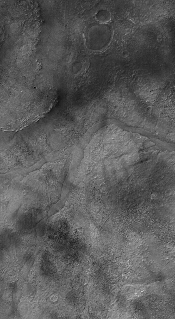
-
PIA08068:
-
First Context Camera Image of Mars
Full Resolution:
TIFF
(26.44 MB)
JPEG
(1.394 MB)
|
|
|
2006-04-13 |
Mars
|
Mars Global Surveyor (MGS)
Mars Reconnaissance Orbiter (MRO)
|
MARCI
Mars Orbiter Camer
|
1409x1056x3 |
|
-
PIA08067:
-
View of Argyre Basin from Test of Mars Color Image
Full Resolution:
TIFF
(4.472 MB)
JPEG
(60.47 kB)
|
|
|
2006-04-13 |
Mars
|
Mars Global Surveyor (MGS)
|
Mars Orbiter Camera (MOC)
|
836x1969x1 |
|
-
PIA08070:
-
Inverted Channels
Full Resolution:
TIFF
(1.648 MB)
JPEG
(279.2 kB)
|
|
|
2006-04-12 |
Mars
|
Mars Global Surveyor (MGS)
|
Mars Orbiter Camera (MOC)
|
836x1734x1 |
|
-
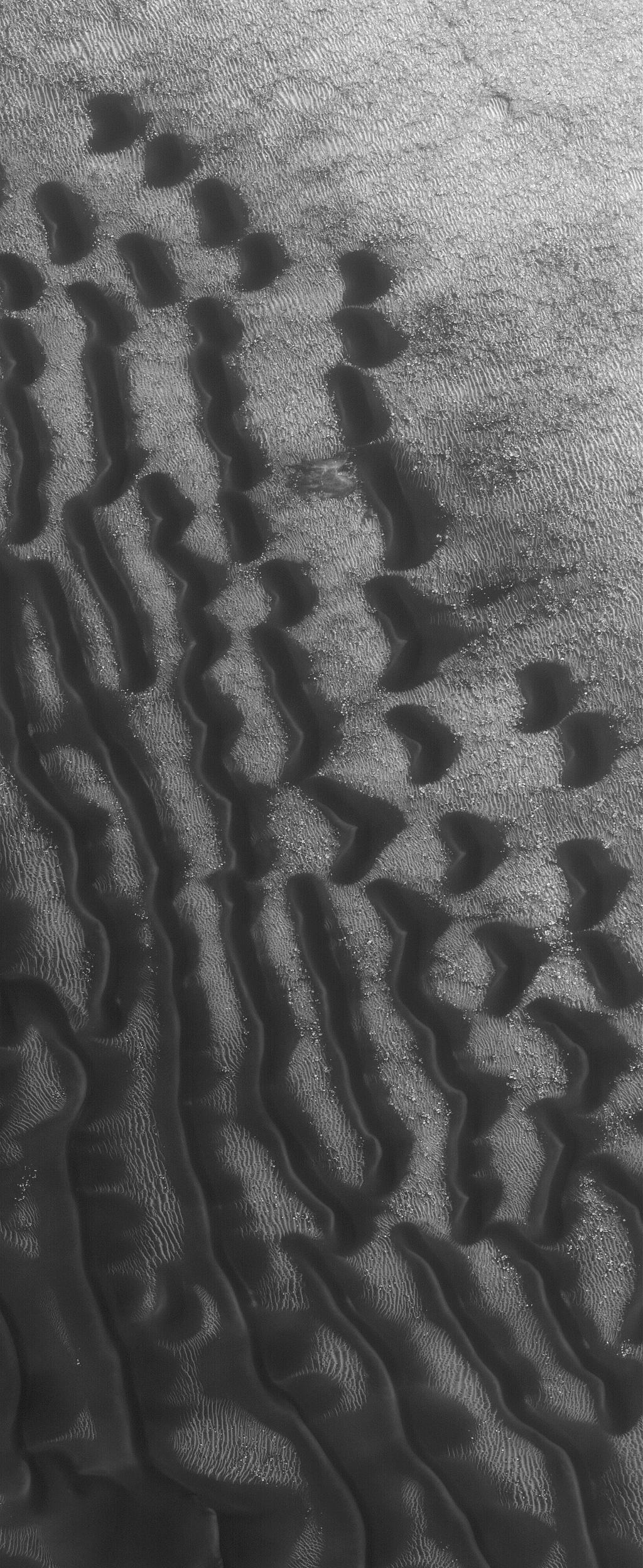
PIA08069:
-
Frosty Dunes
Full Resolution:
TIFF
(1.451 MB)
JPEG
(264.6 kB)
|
|
|
2006-04-11 |
Mars
|
Mars Global Surveyor (MGS)
|
Mars Orbiter Camera (MOC)
|
640x640x3 |
|
-
PIA08066:
-
Mars at Ls 39°: Acidalia/Mare Erythraeum
Full Resolution:
TIFF
(411.8 kB)
JPEG
(39.51 kB)
|
|
|
2006-04-10 |
Mars
|
Mars Global Surveyor (MGS)
|
Mars Orbiter Camera (MOC)
|
672x1200x1 |
|
-
PIA08058:
-
Plains Traveler
Full Resolution:
TIFF
(807.4 kB)
JPEG
(169.1 kB)
|
|
|
2006-04-09 |
Mars
|
Mars Global Surveyor (MGS)
|
Mars Orbiter Camera (MOC)
|
836x2734x1 |
|
-
PIA08057:
-
Polar Layers
Full Resolution:
TIFF
(2.288 MB)
JPEG
(490.1 kB)
|
|
|
2006-04-08 |
Mars
|
Mars Global Surveyor (MGS)
|
Mars Orbiter Camera (MOC)
|
916x2717x1 |
|
-
PIA08056:
-
Tyrrhena Dunes
Full Resolution:
TIFF
(2.492 MB)
JPEG
(322.4 kB)
|
|
|
2006-04-07 |
Mars
|
Mars Global Surveyor (MGS)
|
Mars Orbiter Camera (MOC)
|
2048x3132x1 |
|
-
PIA08055:
-
Polar Summer
Full Resolution:
TIFF
(6.421 MB)
JPEG
(883 kB)
|
|
|
2006-04-06 |
Mars
|
Mars Global Surveyor (MGS)
|
Mars Orbiter Camera (MOC)
|
836x1863x1 |
|
-
PIA08045:
-
The Edge
Full Resolution:
TIFF
(1.559 MB)
JPEG
(253.6 kB)
|
|
|
2006-04-05 |
Mars
|
Mars Global Surveyor (MGS)
|
Mars Orbiter Camera (MOC)
|
1024x2224x1 |
|
-
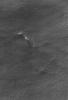
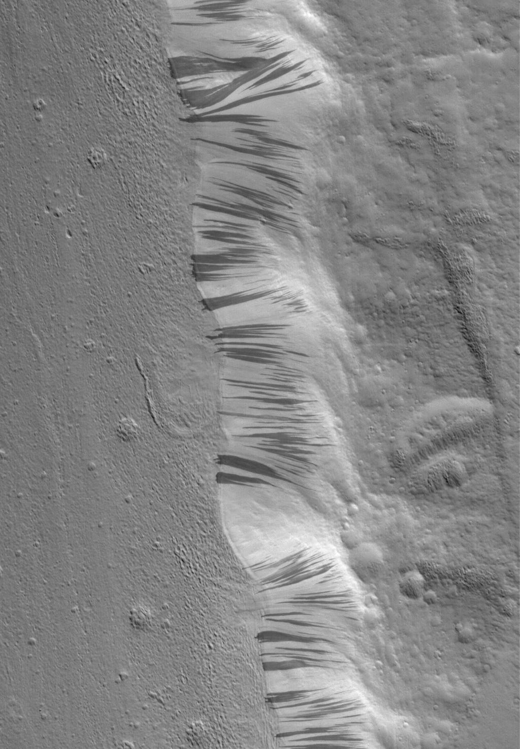
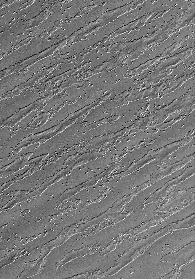
PIA08044:
-
Addition and Subtraction
Full Resolution:
TIFF
(2.28 MB)
JPEG
(349.2 kB)
|
|
|
2006-04-04 |
Mars
|
Mars Global Surveyor (MGS)
|
Mars Orbiter Camera (MOC)
|
640x640x3 |
|
-
PIA08032:
-
Mars at Ls 39°: Tharsis
Full Resolution:
TIFF
(411.8 kB)
JPEG
(37.3 kB)
|
|
|
2006-04-03 |
Mars
|
Mars Global Surveyor (MGS)
|
Mars Orbiter Camera (MOC)
|
836x3135x1 |
|
-
PIA08031:
-
Ripple Trap
Full Resolution:
TIFF
(2.624 MB)
JPEG
(571.1 kB)
|
|
|
2006-04-02 |
Mars
|
Mars Global Surveyor (MGS)
|
Mars Orbiter Camera (MOC)
|
672x972x1 |

|
-
PIA08029:
-
Promethei Pedestal
Full Resolution:
TIFF
(654.1 kB)
JPEG
(95.76 kB)
|
|
|
2006-04-01 |
Mars
|
Mars Global Surveyor (MGS)
|
Mars Orbiter Camera (MOC)
|
1024x1380x1 |
|
-
PIA08028:
-
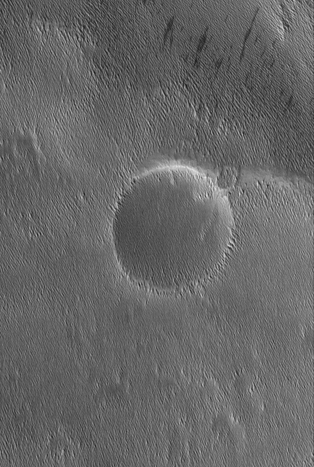
Craters and Streaks
Full Resolution:
TIFF
(1.415 MB)
JPEG
(163.4 kB)
|
|
|
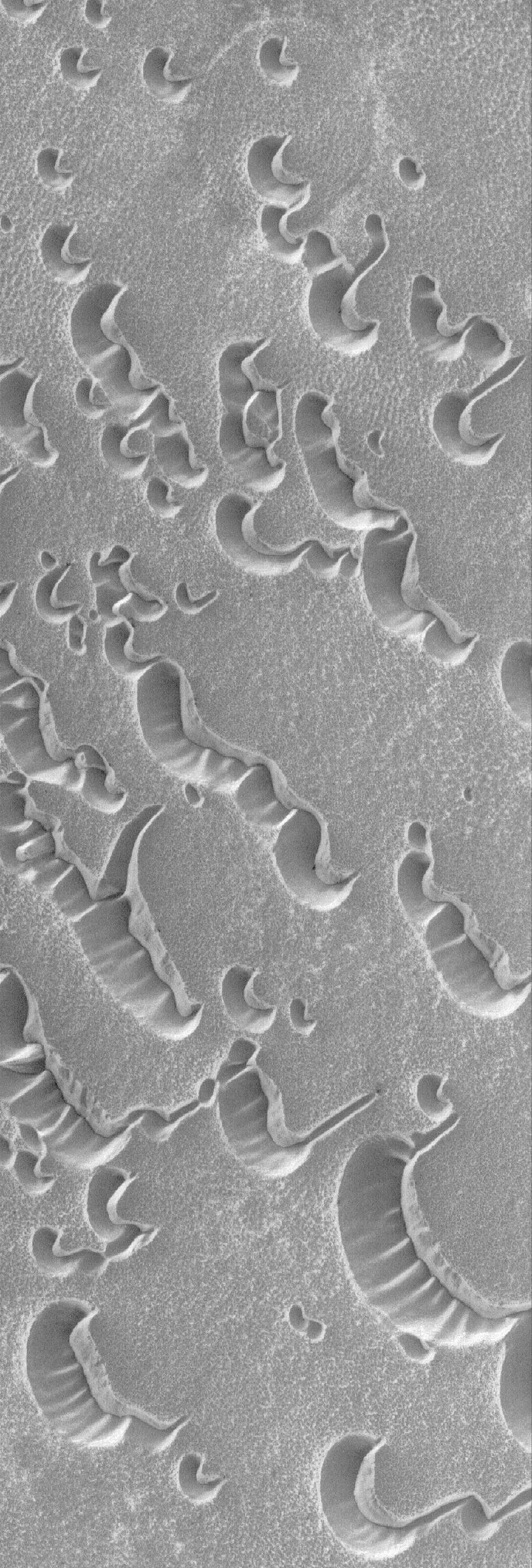
2006-03-31 |
Mars
|
Mars Global Surveyor (MGS)
|
Mars Orbiter Camera (MOC)
|
672x1108x1 |

|
-
PIA08027:
-
Spallanzani Layers
Full Resolution:
TIFF
(745.6 kB)
JPEG
(57.91 kB)
|
|
|
2006-03-30 |
Mars
|
Mars Global Surveyor (MGS)
|
Mars Orbiter Camera (MOC)
|
672x1224x1 |
|
-
PIA08025:
-
Partially-Filled Valley
Full Resolution:
TIFF
(823.6 kB)
JPEG
(130.1 kB)
|
|
|
2006-03-29 |
Mars
|
Mars Global Surveyor (MGS)
|
Mars Orbiter Camera (MOC)
|
2048x3352x1 |
|
-
PIA08020:
-
Terra Sirenum Gullies
Full Resolution:
TIFF
(6.872 MB)
JPEG
(747.1 kB)
|
|
|
2006-03-28 |
Mars
|
Mars Global Surveyor (MGS)
|
Mars Orbiter Camera (MOC)
|
640x640x3 |
|
-
PIA08019:
-
Mars at Ls 25°: Elysium/Mare Cimmerium
Full Resolution:
TIFF
(411.8 kB)
JPEG
(34.23 kB)
|
|
|
2006-03-27 |
Mars
|
Mars Global Surveyor (MGS)
|
Mars Orbiter Camera (MOC)
|
672x985x1 |
|
-
PIA08018:
-
Raising Dust
Full Resolution:
TIFF
(662.8 kB)
JPEG
(116.1 kB)
|
|
|
2006-03-26 |
Mars
|
Mars Global Surveyor (MGS)
|
Mars Orbiter Camera (MOC)
|
836x1999x1 |
|
-
PIA08017:
-
Arabia Bridal Veils
Full Resolution:
TIFF
(1.673 MB)
JPEG
(204.8 kB)
|
|
|
2006-03-25 |
Mars
|
Mars Global Surveyor (MGS)
|
Mars Orbiter Camera (MOC)
|
1024x1980x1 |
|
-
PIA08016:
-
South Polarscape
Full Resolution:
TIFF
(2.03 MB)
JPEG
(502.9 kB)
|
|
|
2006-03-24 |
Mars
|
Mars Global Surveyor (MGS)
|
Mars Orbiter Camera (MOC)
|
1024x1548x1 |

|
-
PIA08015:
-
Upland Impact
Full Resolution:
TIFF
(1.587 MB)
JPEG
(335.6 kB)
|
|
|
2006-03-23 |
Mars
|
Mars Global Surveyor (MGS)
|
Mars Orbiter Camera (MOC)
|
672x1465x1 |
|
-
PIA08009:
-
Tyrrhena Tongue
Full Resolution:
TIFF
(985.7 kB)
JPEG
(148 kB)
|
|
|
2006-03-22 |
Mars
|
Mars Global Surveyor (MGS)
|
Mars Orbiter Camera (MOC)
|
1024x1664x1 |
|
-
PIA08008:
-
Noachis Dunes
Full Resolution:
TIFF
(1.706 MB)
JPEG
(163 kB)
|
|
|
2006-03-21 |
Mars
|
Mars Global Surveyor (MGS)
|
Mars Orbiter Camera (MOC)
|
640x640x3 |
|
-
PIA02041:
-
Mars at Ls 25°: Syrtis Major
Full Resolution:
TIFF
(411.8 kB)
JPEG
(34.76 kB)
|
|
|
2006-03-20 |
Mars
|
Mars Global Surveyor (MGS)
|
Mars Orbiter Camera (MOC)
|
672x1275x1 |
|
-
PIA02010:
-
Marte Vallis Textures
Full Resolution:
TIFF
(857.9 kB)
JPEG
(202.7 kB)
|
|
|
2006-03-19 |
Mars
|
Mars Global Surveyor (MGS)
|
Mars Orbiter Camera (MOC)
|
836x1881x1 |

|
-
PIA02009:
-
Northern Impact
Full Resolution:
TIFF
(1.574 MB)
JPEG
(269.4 kB)
|
|
|
2006-03-18 |
Mars
|
Mars Global Surveyor (MGS)
|
Mars Orbiter Camera (MOC)
|
672x1064x1 |
|
-
PIA02990:
-
South Polar Autumn
Full Resolution:
TIFF
(716 kB)
JPEG
(181.6 kB)
|
|
|
2006-03-17 |
Mars
|
Mars Global Surveyor (MGS)
|
Mars Orbiter Camera (MOC)
|
1024x1904x1 |

|
-
PIA02968:
-
Up and Down
Full Resolution:
TIFF
(1.952 MB)
JPEG
(267.8 kB)
|
|
|
2006-03-16 |
Mars
|
Mars Global Surveyor (MGS)
|
Mars Orbiter Camera (MOC)
|
1024x1440x1 |
|
-
PIA02920:
-
Martian Streaker
Full Resolution:
TIFF
(1.476 MB)
JPEG
(255.3 kB)
|
|
|
2006-03-15 |
Mars
|
Mars Global Surveyor (MGS)
|
Mars Orbiter Camera (MOC)
|
2048x2856x1 |
|
-
PIA02919:
-
Bi-level Gullies
Full Resolution:
TIFF
(5.855 MB)
JPEG
(817.9 kB)
|
|
|
2006-03-14 |
Mars
|
Mars Global Surveyor (MGS)
|
Mars Orbiter Camera (MOC)
|
640x640x3 |
|
-
PIA02918:
-
Mars at Ls 25°: Acidalia/Mare Erythraeum
Full Resolution:
TIFF
(411.8 kB)
JPEG
(37.07 kB)
|
|
|
2006-03-13 |
Mars
|
Mars Global Surveyor (MGS)
|
Mars Orbiter Camera (MOC)
|
2048x3584x1 |

|
-
PIA02915:
-
Tracking Boulders
Full Resolution:
TIFF
(7.347 MB)
JPEG
(769.7 kB)
|
|
|
2006-03-12 |
Mars
|
Mars Global Surveyor (MGS)
|
Mars Orbiter Camera (MOC)
|
672x1602x1 |
|
-
PIA02914:
-
Repetition
Full Resolution:
TIFF
(1.078 MB)
JPEG
(331.7 kB)
|
|
|
2006-03-11 |
Mars
|
Mars Global Surveyor (MGS)
|
Mars Orbiter Camera (MOC)
|
1024x1812x1 |
|
-
PIA02896:
-
Craters and Layers
Full Resolution:
TIFF
(1.858 MB)
JPEG
(193.5 kB)
|
|
|
2006-03-10 |
Mars
|
Mars Global Surveyor (MGS)
|
Mars Orbiter Camera (MOC)
|
2048x3016x1 |

|
-
PIA02888:
-
Remains
Full Resolution:
TIFF
(6.183 MB)
JPEG
(819.5 kB)
|
|
|
2006-03-09 |
Mars
|
Mars Global Surveyor (MGS)
|
Mars Orbiter Camera (MOC)
|
1024x1452x1 |

|
-
PIA02887:
-
Martian Graffiti
Full Resolution:
TIFF
(1.489 MB)
JPEG
(303.4 kB)
|
|
|
2006-03-08 |
Mars
|
Mars Global Surveyor (MGS)
|
Mars Orbiter Camera (MOC)
|
1672x8935x1 |

|
-
PIA02874:
-
The Pits
Full Resolution:
TIFF
(14.96 MB)
JPEG
(1.629 MB)
|
|
|
2006-03-07 |
Mars
|
Mars Global Surveyor (MGS)
|
Mars Orbiter Camera (MOC)
|
640x640x3 |
|
-
PIA02697:
-
Mars at Ls 25°: Tharsis
Full Resolution:
TIFF
(411.8 kB)
JPEG
(35.3 kB)
|
|
|
2006-03-06 |
Mars
|
Mars Global Surveyor (MGS)
|
Mars Orbiter Camera (MOC)
|
836x2005x1 |
|
-
PIA02693:
-
Dune-tastic
Full Resolution:
TIFF
(1.678 MB)
JPEG
(332.5 kB)
|
|
|
2006-03-05 |
Mars
|
Mars Global Surveyor (MGS)
|
Mars Orbiter Camera (MOC)
|
1024x1860x1 |
|
-
PIA02692:
-
Utopia Plain
Full Resolution:
TIFF
(1.907 MB)
JPEG
(281.9 kB)
|
|
|
2006-03-04 |
Mars
|
Mars Global Surveyor (MGS)
|
Mars Orbiter Camera (MOC)
|
1024x1860x1 |
|
-
PIA02691:
-
East Cerberus
Full Resolution:
TIFF
(1.907 MB)
JPEG
(281.7 kB)
|
|
|
2006-03-03 |
Mars
|
Mars Global Surveyor (MGS)
|
Mars Orbiter Camera (MOC)
|
672x1152x1 |

|
-
PIA02681:
-
Lonely Barchans
Full Resolution:
TIFF
(775.1 kB)
JPEG
(139.5 kB)
|
|
|
2006-03-02 |
Mars
|
Mars Global Surveyor (MGS)
|
Mars Orbiter Camera (MOC)
|
2048x4496x1 |
|
-
PIA02680:
-
Up Close and Personal
Full Resolution:
TIFF
(9.217 MB)
JPEG
(1.005 MB)
|
|
|
2006-03-01 |
Mars
|
Mars Global Surveyor (MGS)
|
Mars Orbiter Camera (MOC)
|
672x1152x1 |
|
-
PIA02613:
-
Argyre Bull's-Eye
Full Resolution:
TIFF
(775.1 kB)
JPEG
(151.6 kB)
|
|
|
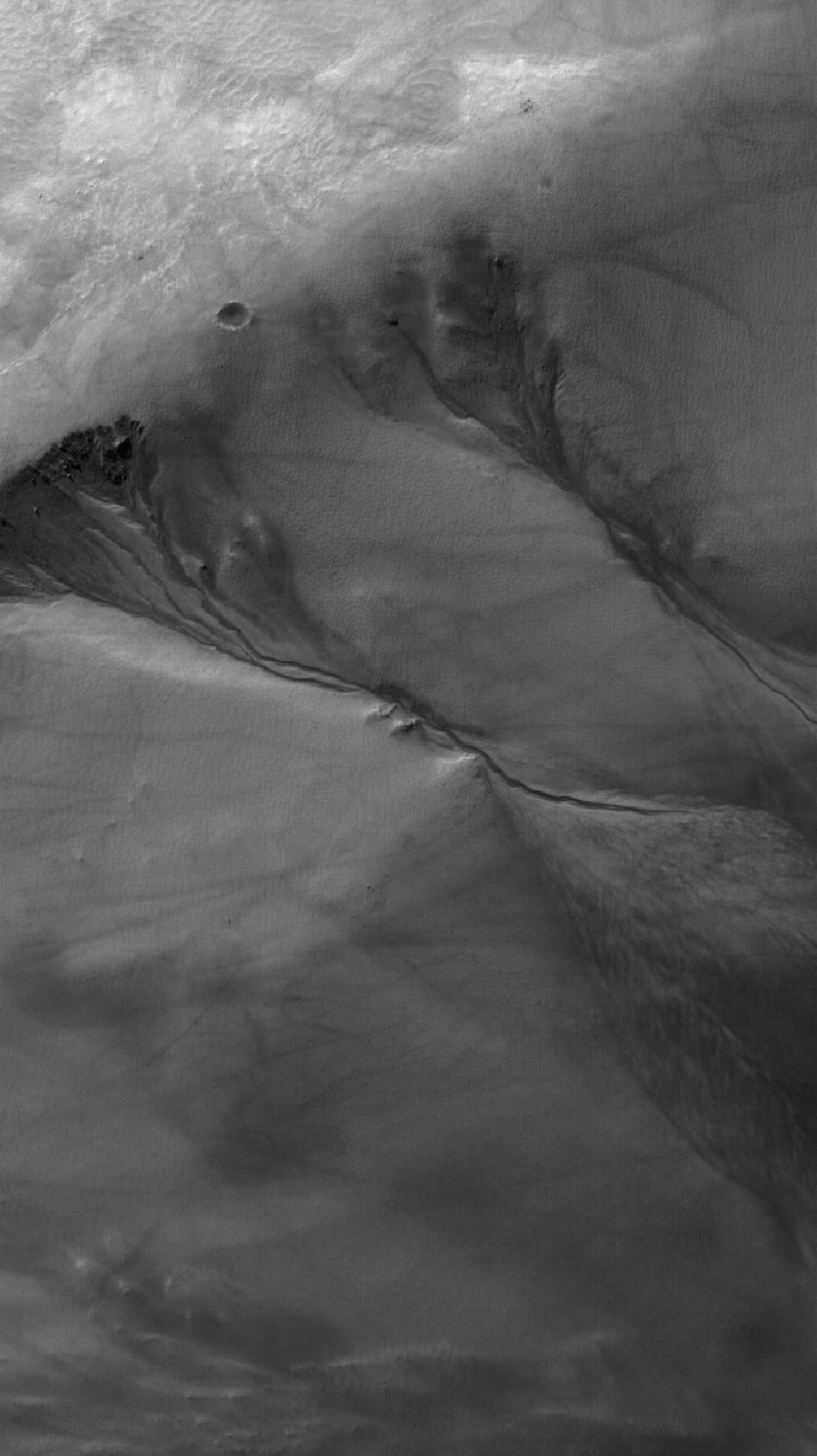
2006-02-28 |
Mars
|
Mars Global Surveyor (MGS)
|
Mars Orbiter Camera (MOC)
|
640x640x3 |

|
-
PIA02612:
-
Mars at Ls 12°: Elysium/Mare Cimmerium
Full Resolution:
TIFF
(411.8 kB)
JPEG
(37.93 kB)
|
|
|
2006-02-27 |
Mars
|
Mars Global Surveyor (MGS)
|
Mars Orbiter Camera (MOC)
|
1024x1800x1 |
|
-
PIA02296:
-
Aeolis Landforms
Full Resolution:
TIFF
(1.845 MB)
JPEG
(280.3 kB)
|
|
|
2006-02-26 |
Mars
|
Mars Global Surveyor (MGS)
|
Mars Orbiter Camera (MOC)
|
672x1104x1 |
|
-
PIA02295:
-
Gullied Depression
Full Resolution:
TIFF
(742.9 kB)
JPEG
(162 kB)
|
|
|
2006-02-25 |
Mars
|
Mars Global Surveyor (MGS)
|
Mars Orbiter Camera (MOC)
|
672x960x1 |
|
-
PIA02262:
-
South Polar Remnants
Full Resolution:
TIFF
(646 kB)
JPEG
(185.4 kB)
|
|
|
2006-02-24 |
Mars
|
Mars Global Surveyor (MGS)
|
Mars Orbiter Camera (MOC)
|
1024x2496x1 |
|
-
PIA02261:
-
Wayward Travelers
Full Resolution:
TIFF
(2.559 MB)
JPEG
(528 kB)
|
|
|
2006-02-23 |
Mars
|
Mars Global Surveyor (MGS)
|
Mars Orbiter Camera (MOC)
|
1024x2848x1 |
|
-
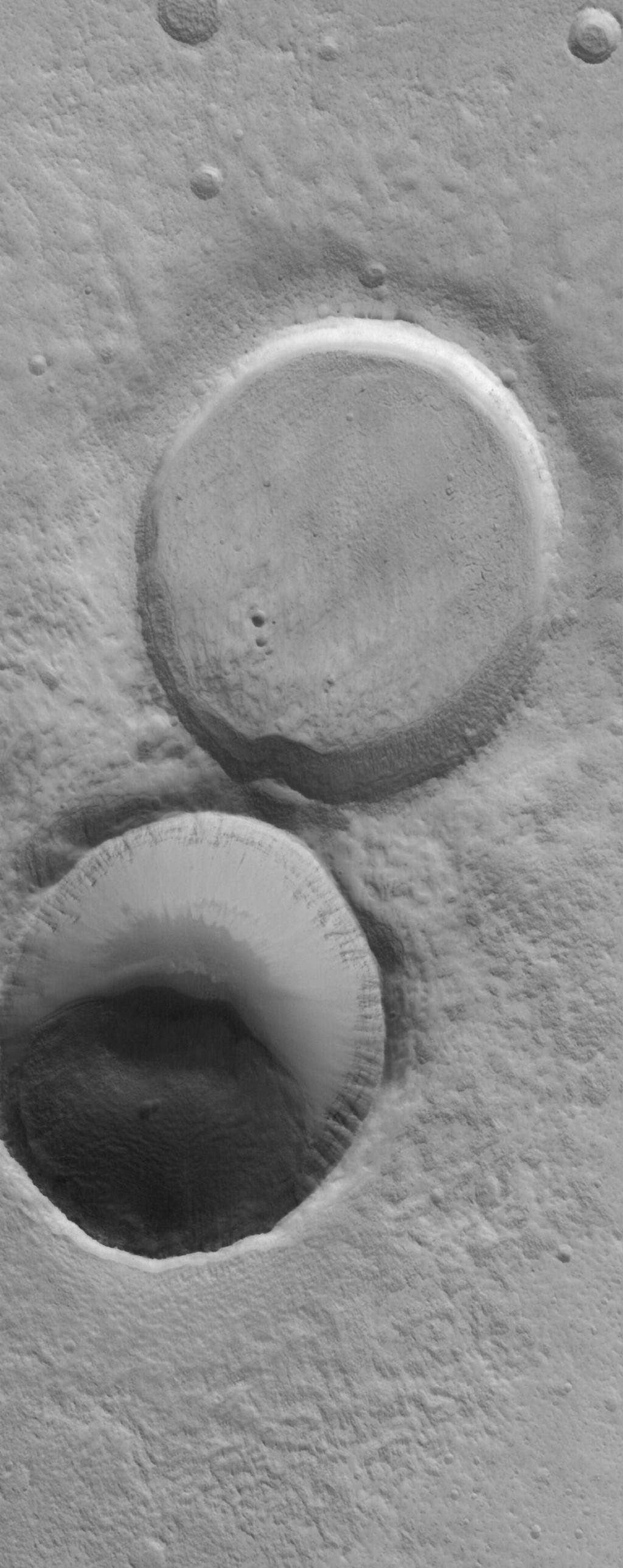
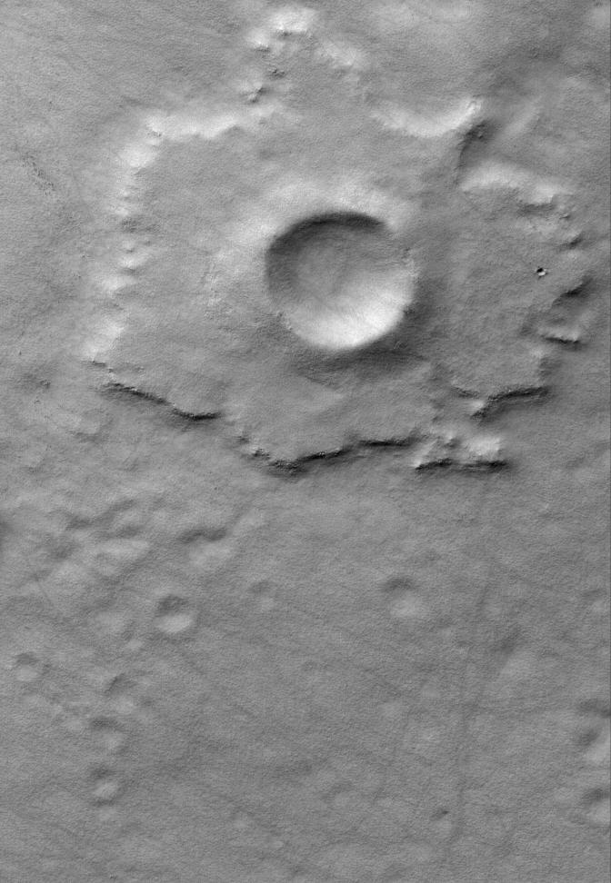
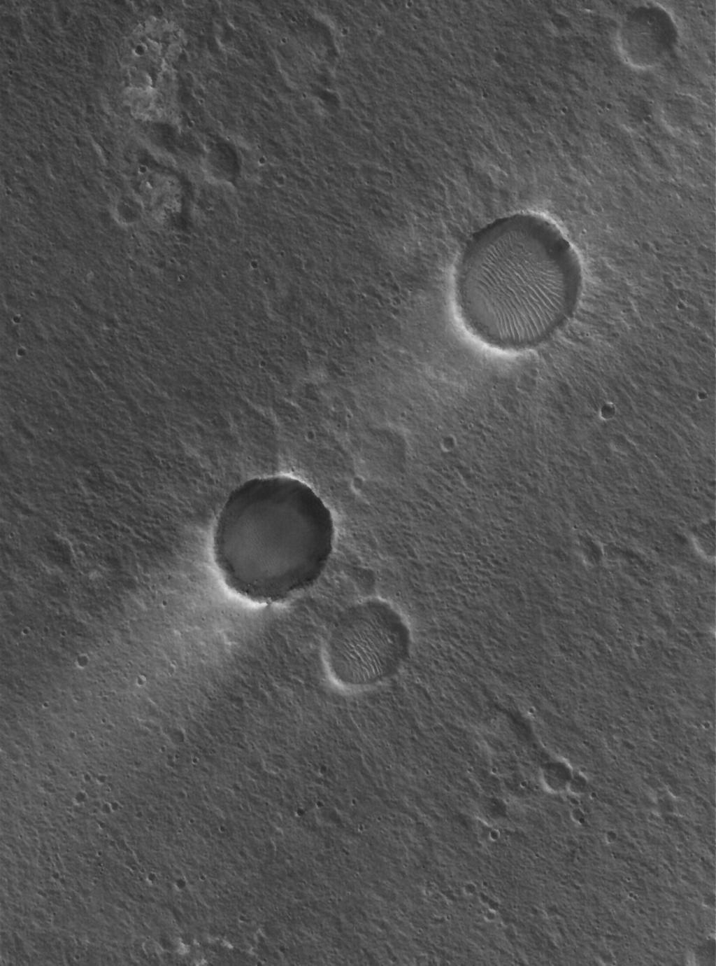
PIA02199:
-
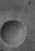
Kidney-Shaped Impact
Full Resolution:
TIFF
(2.919 MB)
JPEG
(530.2 kB)
|
|
|
2006-02-22 |
Mars
|
Mars Global Surveyor (MGS)
|
Mars Orbiter Camera (MOC)
|
836x1216x1 |
|
-
PIA02198:
-
Smooth Transition
Full Resolution:
TIFF
(1.018 MB)
JPEG
(239.7 kB)
|
|
|
2006-02-21 |
Mars
|
Mars Global Surveyor (MGS)
|
Mars Orbiter Camera (MOC)
|
640x640x3 |

|
-
PIA02195:
-
Mars at Ls 12°: Syrtis Major
Full Resolution:
TIFF
(411.8 kB)
JPEG
(39.14 kB)
|
|
|
2006-02-20 |
Mars
|
Mars Global Surveyor (MGS)
|
Mars Orbiter Camera (MOC)
|
768x2000x1 |
|
-
PIA02194:
-
Meridiani Materials
Full Resolution:
TIFF
(1.538 MB)
JPEG
(195 kB)
|
|
|
2006-02-19 |
Mars
|
Mars Global Surveyor (MGS)
|
Mars Orbiter Camera (MOC)
|
672x1008x1 |
|
-
PIA02193:
-
Devil-Streaked Plain
Full Resolution:
TIFF
(678.3 kB)
JPEG
(135.2 kB)
|
|
|
2006-02-18 |
Mars
|
Mars Global Surveyor (MGS)
|
Mars Orbiter Camera (MOC)
|
2048x3048x1 |

|
-
PIA02192:
-
Isidis Landforms
Full Resolution:
TIFF
(6.249 MB)
JPEG
(1.03 MB)
|
|
|
2006-02-17 |
Mars
|
Mars Global Surveyor (MGS)
|
Mars Orbiter Camera (MOC)
|
836x1698x1 |
|
-
PIA02184:
-
Isidis Plains
Full Resolution:
TIFF
(1.421 MB)
JPEG
(237.6 kB)
|
|
|
2006-02-16 |
Mars
|
Mars Global Surveyor (MGS)
|
Mars Orbiter Camera (MOC)
|
2048x2616x1 |
|
-
PIA02183:
-
A Matter of Time
Full Resolution:
TIFF
(5.363 MB)
JPEG
(949.8 kB)
|
|
|
2006-02-15 |
Mars
|
Mars Global Surveyor (MGS)
|
Mars Orbiter Camera (MOC)
|
640x640x3 |
|
-
PIA02181:
-
Mars at Ls 12°: Acidalia/Mare Erythraeum
Full Resolution:
TIFF
(411.8 kB)
JPEG
(36.1 kB)
|
 Planetary Data System


