Click on an image for detailed information
Click on a column heading to sort in ascending or descending order

My
List |
Addition Date
|
Target
|
Mission
|
Instrument
|
Size
|

|
2011-09-01 |
Mars
|
Mars Exploration Rover (MER)
|
Navigation Camera
|
1024x1024x1 |
|
-
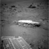
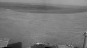
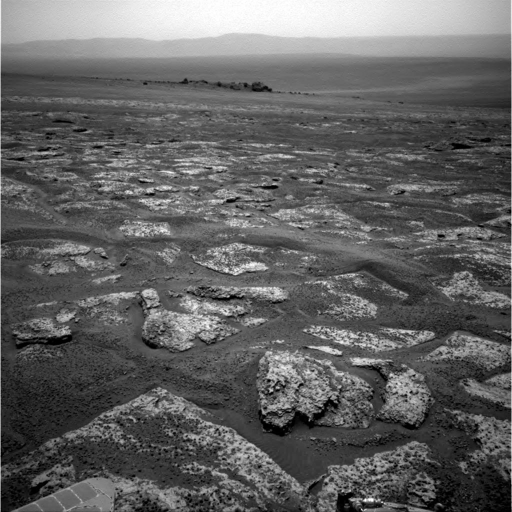
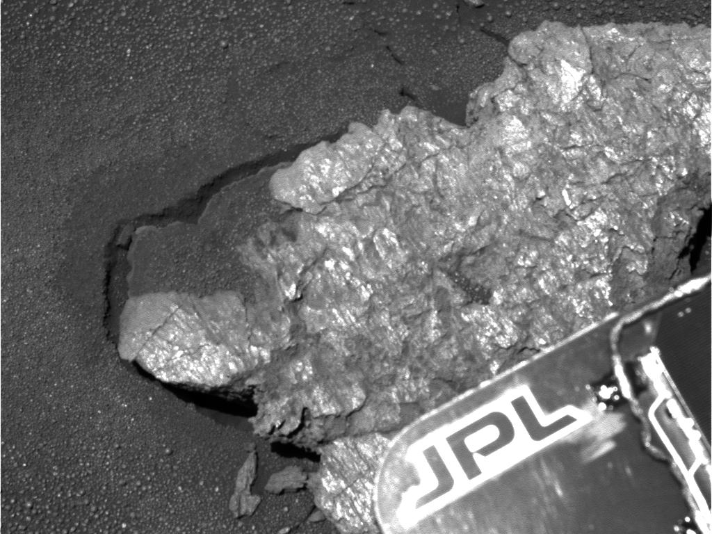
PIA14748:
-
Approaching 'Tisdale 2' Rock on Rim of Endeavour Crater, Sol 2690
Full Resolution:
TIFF
(1.05 MB)
JPEG
(192.7 kB)
|
|
|
2011-10-10 |
Mars
|
Mars Exploration Rover (MER)
|
Navigation Camera
|
1024x1024x1 |
|
-
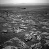
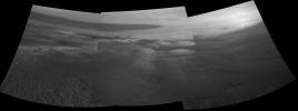
PIA14759:
-
Approaching Endeavour Crater, Sol 2,680
Full Resolution:
TIFF
(1.05 MB)
JPEG
(204.5 kB)
|
|
|
2011-12-07 |
Mars
|
Mars Exploration Rover (MER)
|
Navigation Camera
|
1024x1024x1 |
|
-
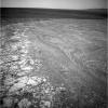
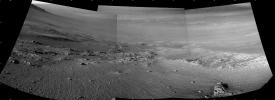
PIA15036:
-
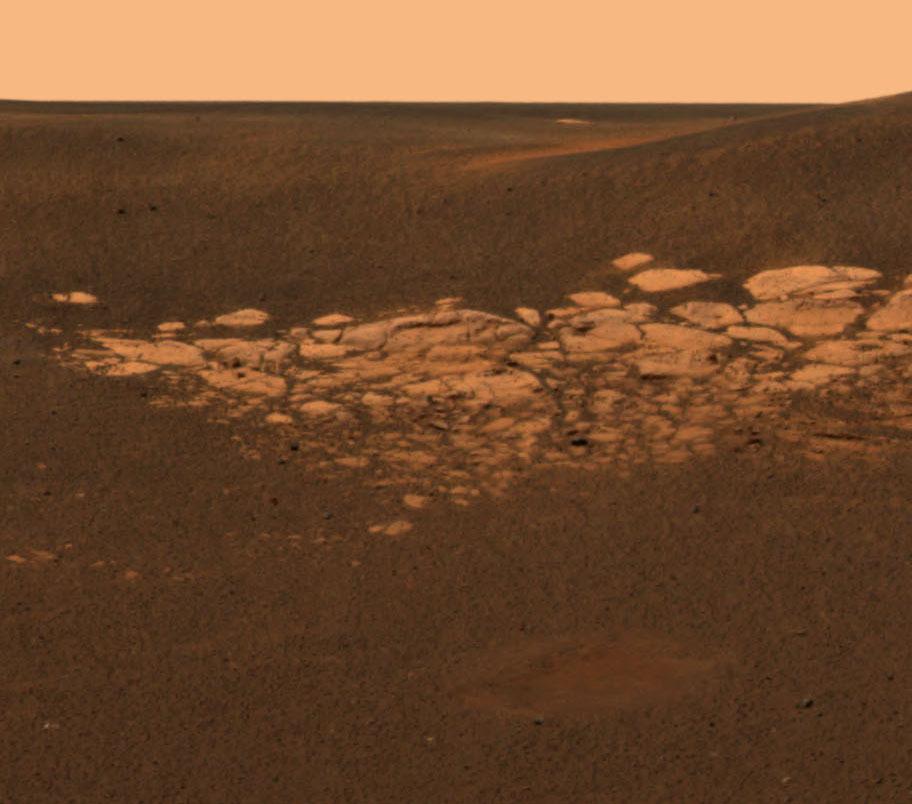
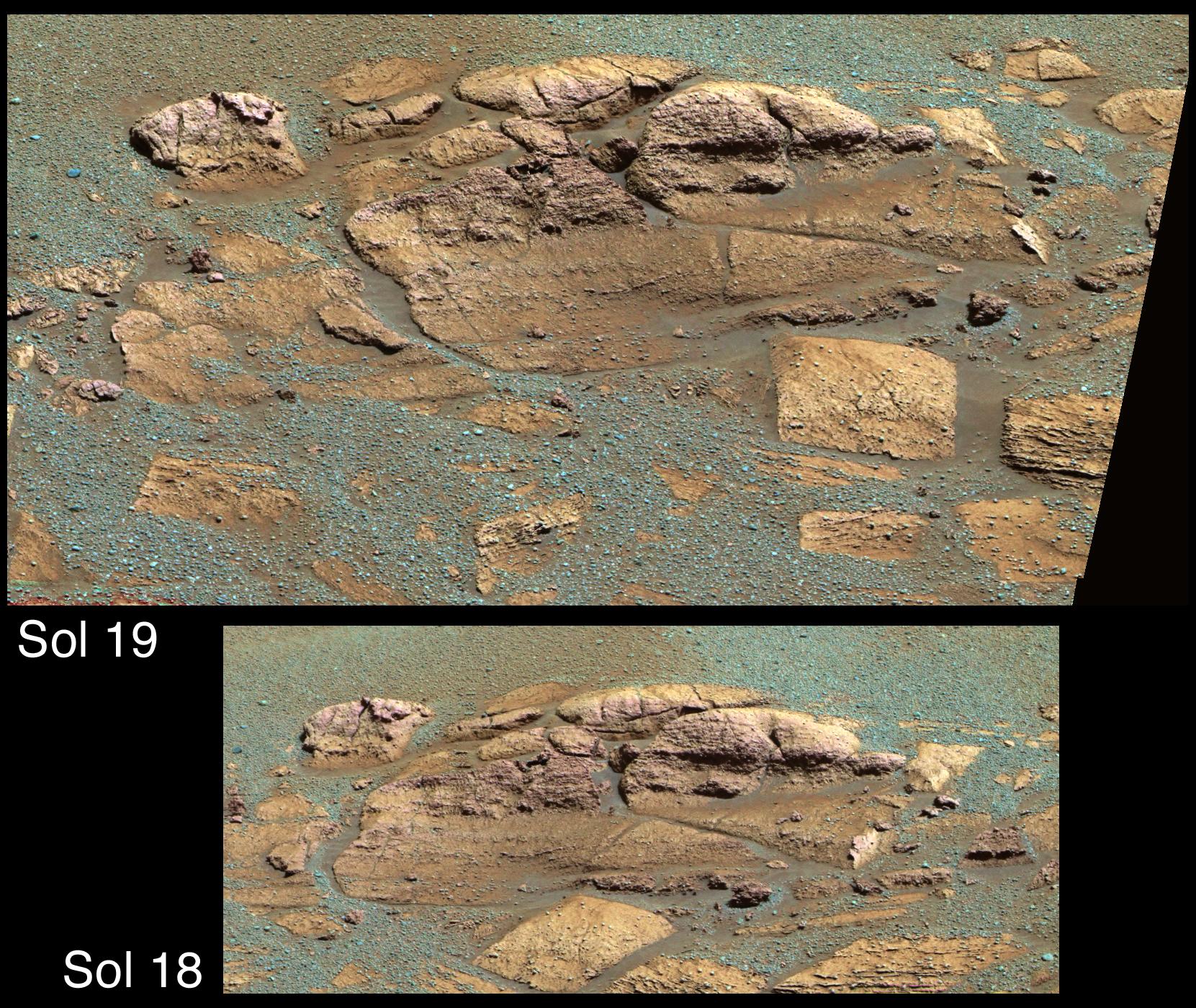
Western Edge of 'Cape York,' with Bright Vein
Full Resolution:
TIFF
(1.05 MB)
JPEG
(297.5 kB)
|
|
|
2012-01-05 |
Mars
|
Mars Exploration Rover (MER)
|
Navigation Camera
|
1024x1024x1 |

|
-
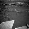
PIA15118:
-
Approaching 'Greeley Haven' on Endeavour Rim
Full Resolution:
TIFF
(1.05 MB)
JPEG
(212.1 kB)
|
|
|
2012-09-07 |
Mars
|
Mars Exploration Rover (MER)
|
Navigation Camera
|
1024x1024x1 |
|
-
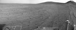
PIA16121:
-
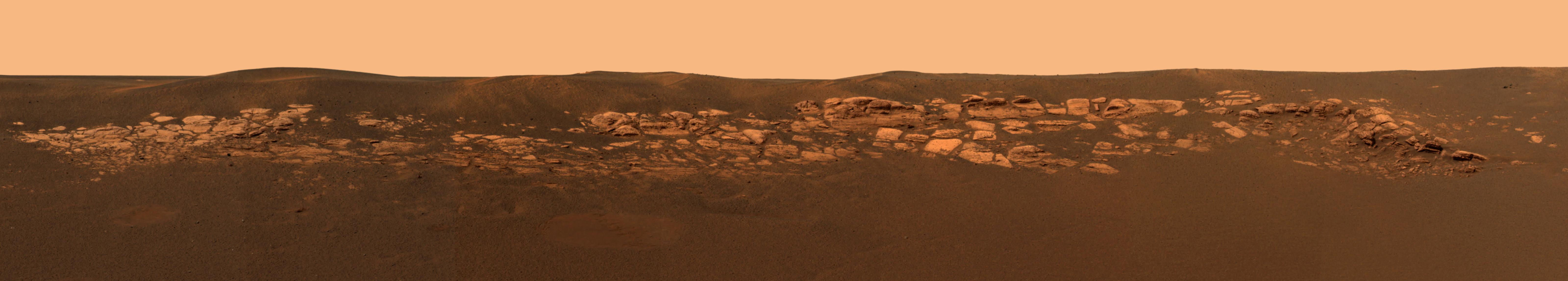
Outcrop Beckoning Opportunity, Sol 3057
Full Resolution:
TIFF
(1.05 MB)
JPEG
(218.8 kB)
|
|
|
2012-09-07 |
Mars
|
Mars Exploration Rover (MER)
|
Navigation Camera
|
7688x987x1 |
|
-
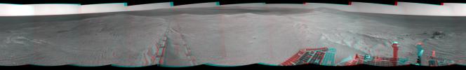
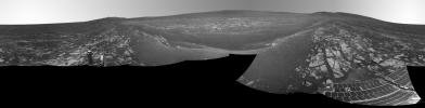
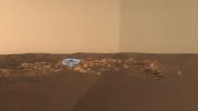
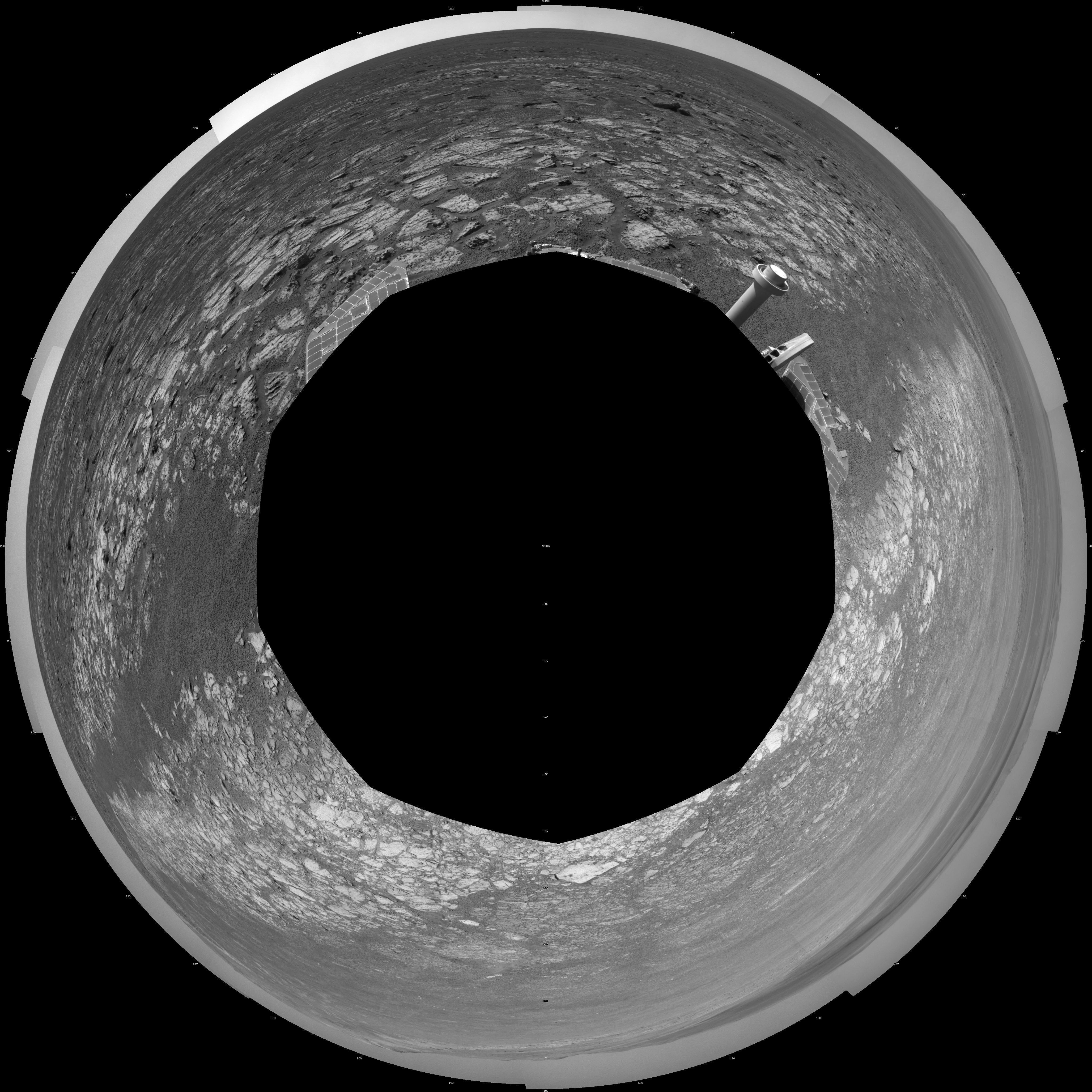
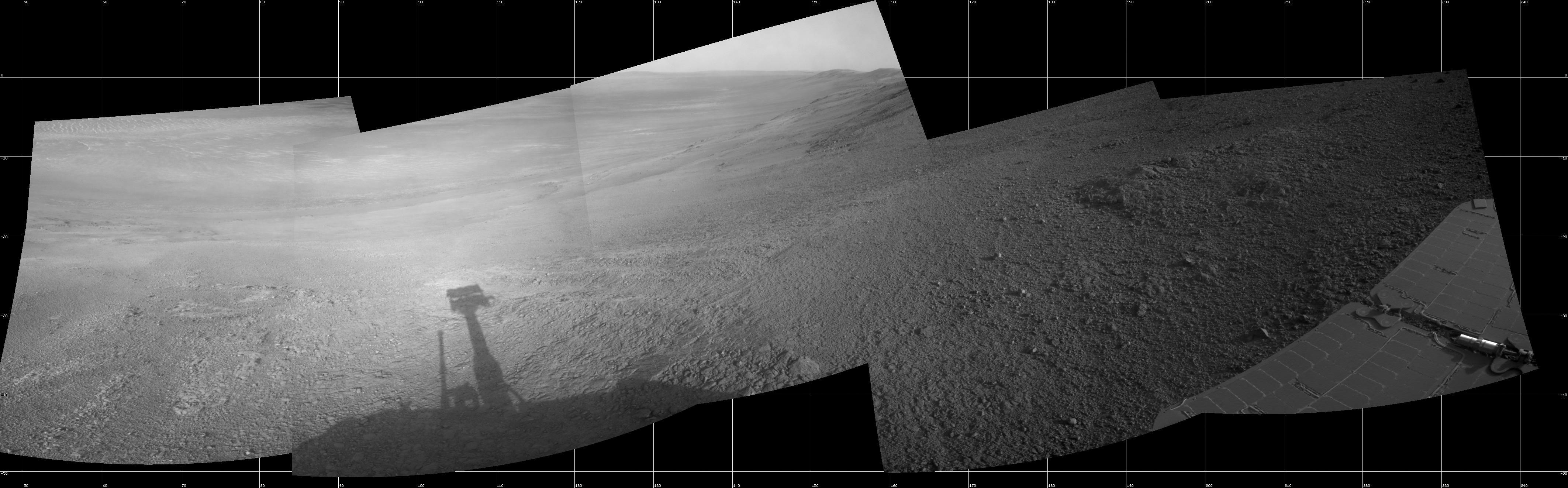
PIA16122:
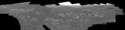
Opportunity's Surroundings on 3,000th Sol
Full Resolution:
TIFF
(7.596 MB)
JPEG
(1.148 MB)
|
|
|
2012-09-07 |
Mars
|
Mars Exploration Rover (MER)
|
Navigation Camera
|
7753x1152x3 |

|
-
PIA16123:
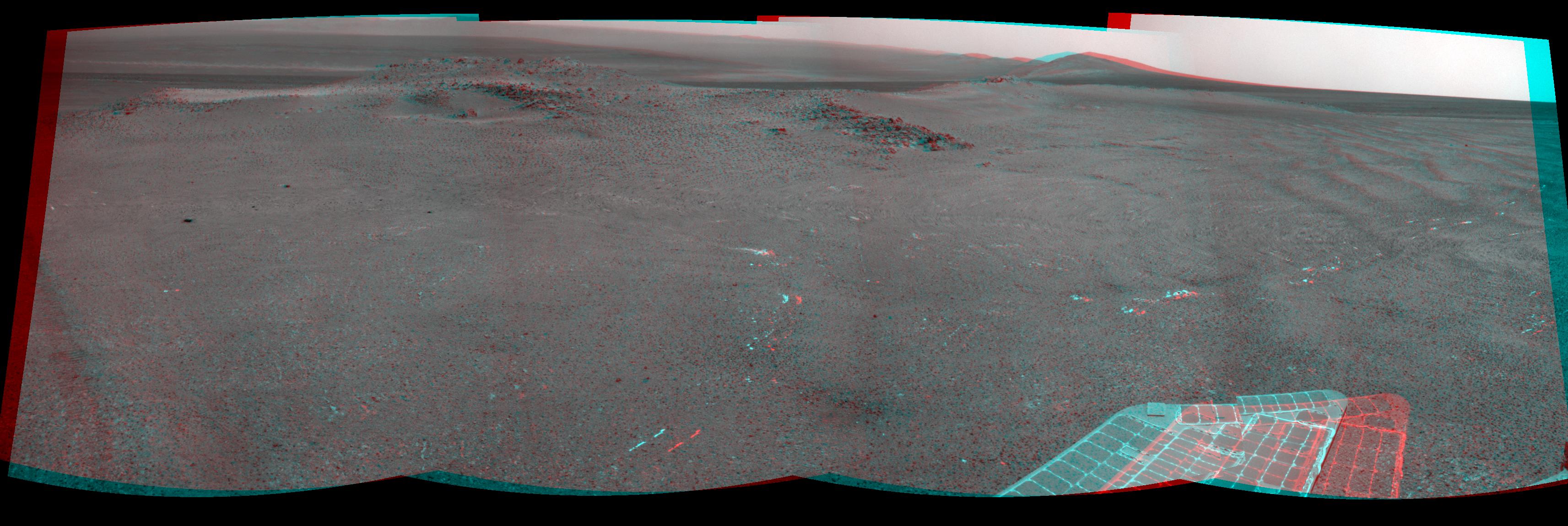
Opportunity's Surroundings on 3,000th Sol, in 3-D
Full Resolution:
TIFF
(26.8 MB)
JPEG
(1.421 MB)
|
|
|
2012-09-07 |
Mars
|
Mars Exploration Rover (MER)
|
Navigation Camera
|
4111x4111x1 |

|
-
PIA16124:
-
Opportunity's Surroundings on 3,000th Sol, Polar Projection
Full Resolution:
TIFF
(16.93 MB)
JPEG
(1.518 MB)
|
|
|
2012-09-07 |
Mars
|
Mars Exploration Rover (MER)
|
Navigation Camera
|
4000x4000x1 |
|
-
PIA16125:
-
Opportunity's Surroundings on 3,000th Sol, Vertical Projection
Full Resolution:
TIFF
(16.02 MB)
JPEG
(1.55 MB)
|
|
|
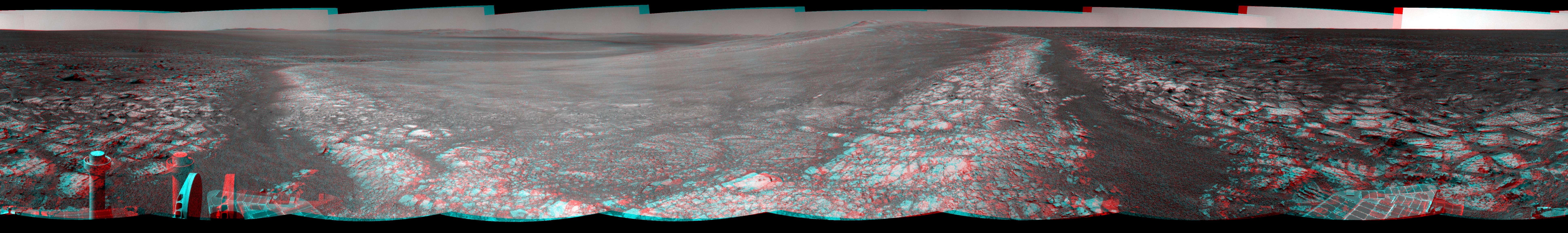
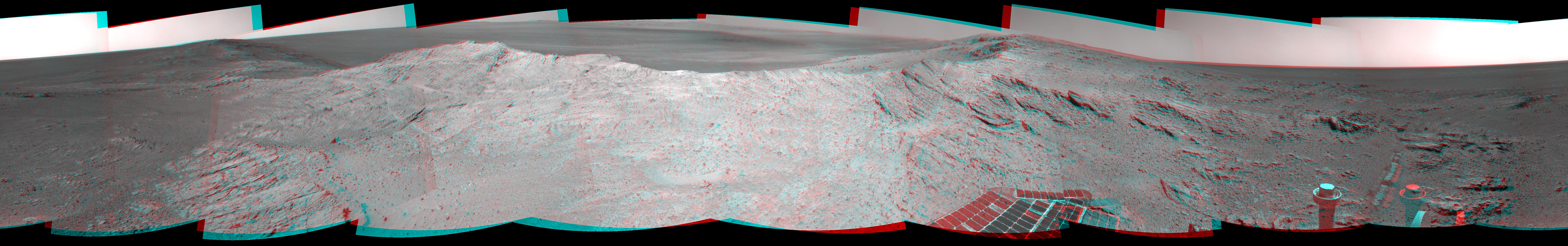
2012-10-03 |
Mars
|
Mars Exploration Rover (MER)
|
Navigation Camera
|
7753x1287x3 |
|
-
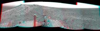
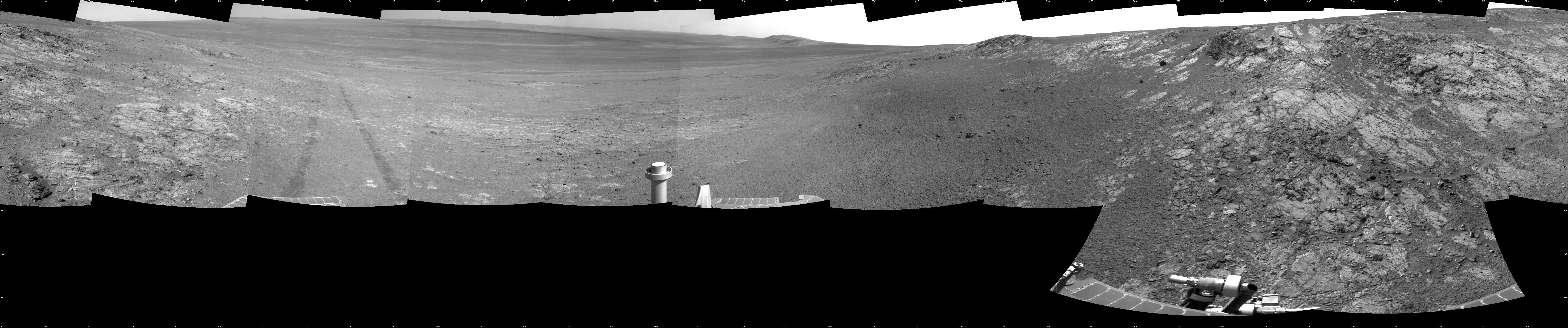
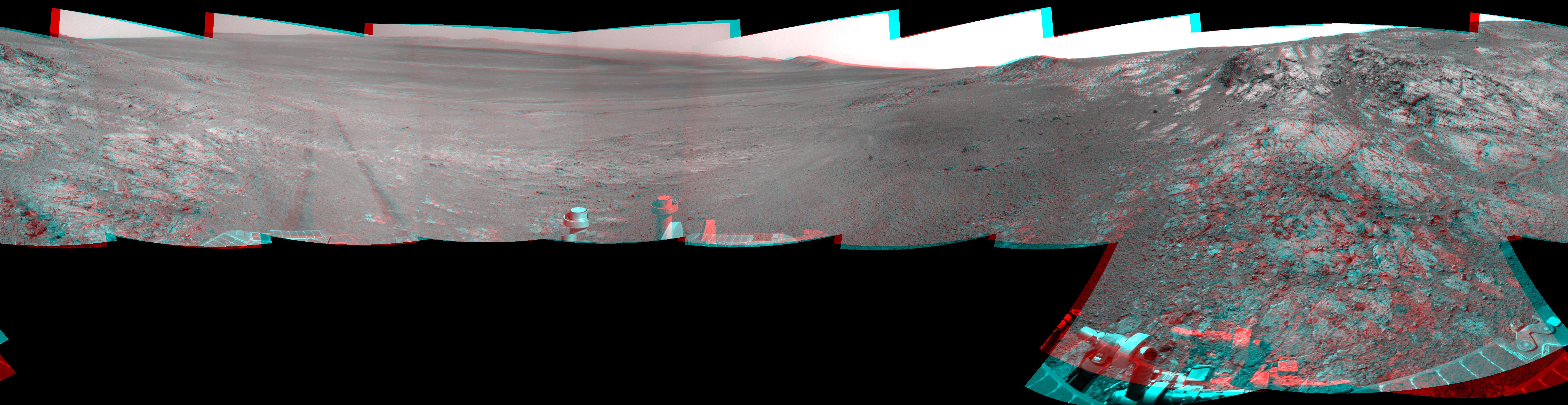
PIA16222:
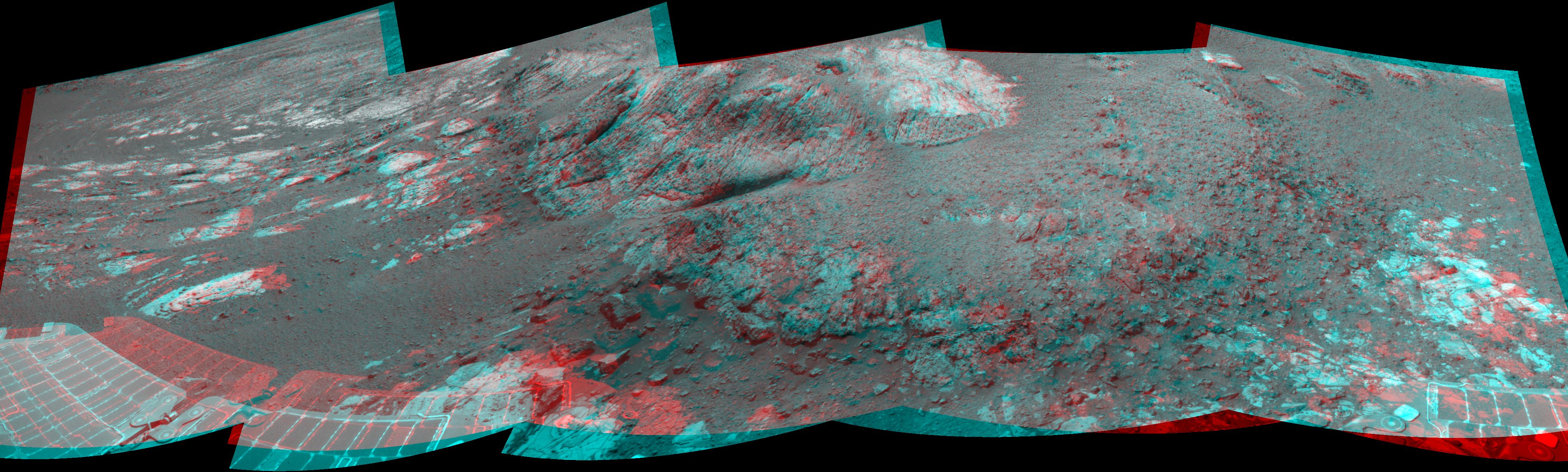
'Matijevic Hill' on Rim of Mars' Endeavour Crater, Stereo View
Full Resolution:
TIFF
(29.94 MB)
JPEG
(1.162 MB)
|
|
|
2012-12-19 |
Mars
|
Mars Exploration Rover (MER)
|
Navigation Camera
|
7688x1073x1 |
|
-
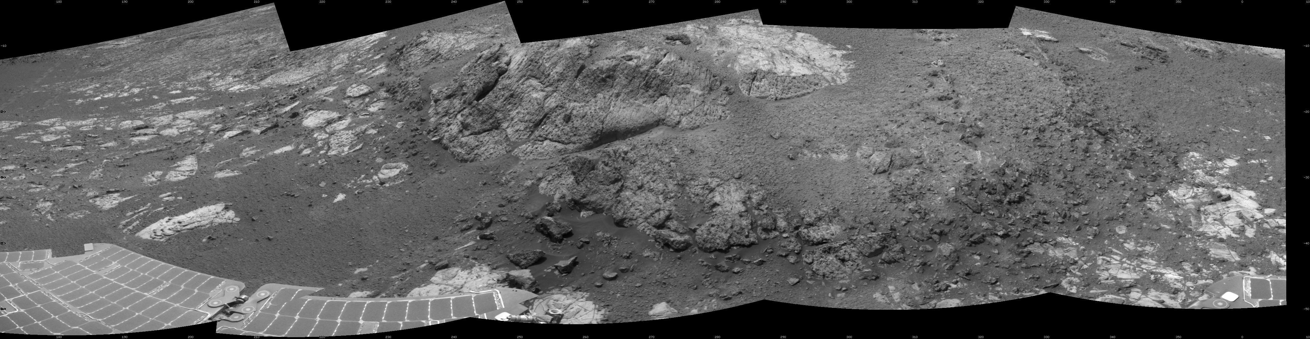
PIA16556:
Opportunity's Surroundings on Sol 3071, on 'Whitewater Lake' Outcrop
Full Resolution:
TIFF
(8.258 MB)
JPEG
(1.138 MB)
|
|
|
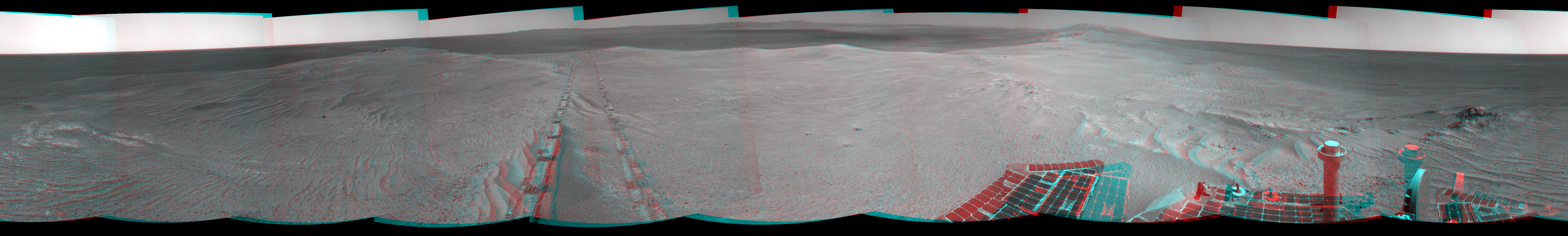
2012-12-19 |
Mars
|
Mars Exploration Rover (MER)
|
Navigation Camera
|
7753x1255x3 |
|
-
PIA16557:
Opportunity's Surroundings on Sol 3071, Stereo View
Full Resolution:
TIFF
(29.2 MB)
JPEG
(1.296 MB)
|
|
|
2012-12-19 |
Mars
|
Mars Exploration Rover (MER)
|
Navigation Camera
|
7688x1610x1 |
|
-
PIA16558:
Opportunity's Surroundings on Sol 3105, on 'Matijevic Hill'
Full Resolution:
TIFF
(12.39 MB)
JPEG
(1.516 MB)
|
|
|
2012-12-19 |
Mars
|
Mars Exploration Rover (MER)
|
Navigation Camera
|
7753x2005x3 |
|
-
PIA16559:
Opportunity's Surroundings on Sol 3105, Stereo View
Full Resolution:
TIFF
(46.65 MB)
JPEG
(1.802 MB)
|
|
|
2012-12-19 |
Mars
|
Mars Exploration Rover (MER)
|
Navigation Camera
|
4249x1100x1 |

|
-
PIA16560:
Opportunity at 'Copper Cliff,' Sol 3153
Full Resolution:
TIFF
(4.683 MB)
JPEG
(715.9 kB)
|
|
|
2012-12-19 |
Mars
|
Mars Exploration Rover (MER)
|
Navigation Camera
|
4285x1289x3 |
|
-
PIA16561:
-
Opportunity at 'Copper Cliff,' Sol 3153
Full Resolution:
TIFF
(16.58 MB)
JPEG
(862.8 kB)
|
|
|
2013-04-12 |
Mars
|
Mars Exploration Rover (MER)
|
Navigation Camera
|
1059x922x1 |
|
-
PIA16923:
-
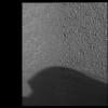
Opportunity's Shadow and Endeavour Crater Vista
Full Resolution:
TIFF
(977.7 kB)
JPEG
(120.5 kB)
|
|
|
2013-04-16 |
Mars
|
Mars Exploration Rover (MER)
|
Navigation Camera
|
5076x1157x3 |
|
-
PIA16924:
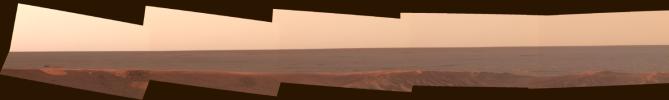
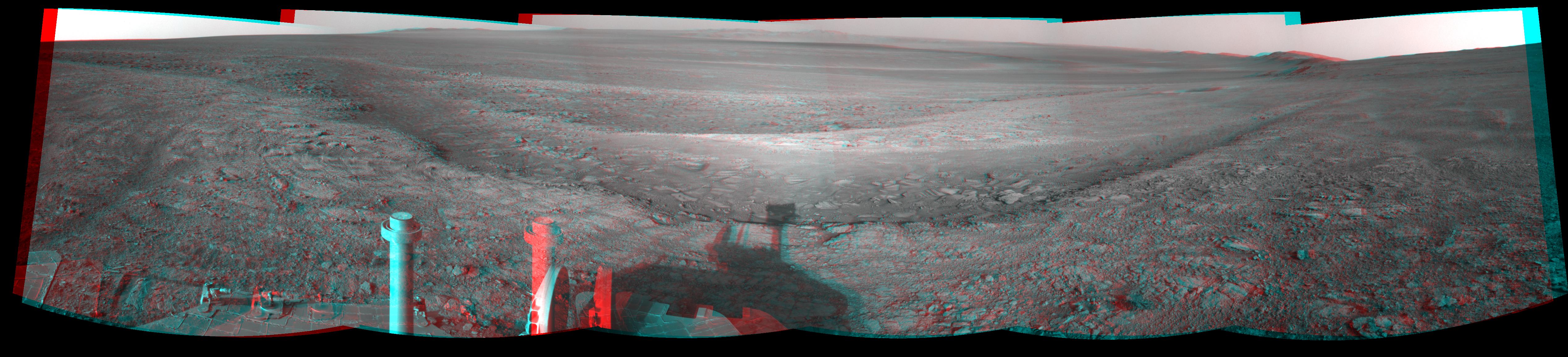
Opportunity Overlooking Endeavour Crater, Stereo View
Full Resolution:
TIFF
(17.63 MB)
JPEG
(764.1 kB)
|
|
|
2013-06-07 |
Mars
|
Mars Exploration Rover (MER)
|
Navigation Camera
|
5730x4075x1 |
|
-
PIA17077:
-
Opportunity's View Leaving 'Cape York'
Full Resolution:
TIFF
(23.38 MB)
JPEG
(1.688 MB)
|
|
|
2013-06-21 |
Mars
|
Mars Exploration Rover (MER)
|
Navigation Camera
|
3426x1149x3 |
|
-
PIA17266:
-
'Nobbys Head' on Opportunity's Southward Route (Stereo)
Full Resolution:
TIFF
(11.81 MB)
JPEG
(491.5 kB)
|
|
|
2013-08-14 |
Mars
|
Mars Exploration Rover (MER)
|
Navigation Camera
|
858x374x1 |
|
-
PIA17087:
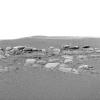
-
Geological Boundary at the Edge of 'Solander Point'
Full Resolution:
TIFF
(321.4 kB)
JPEG
(70.07 kB)
|
|
|
2013-08-14 |
Mars
|
Mars Exploration Rover (MER)
|
Navigation Camera
|
1024x1024x1 |
|
-
PIA17088:
-
Northern Tip of 'Solander Point' on Endeavour Crater Rim
Full Resolution:
TIFF
(1.05 MB)
JPEG
(180.7 kB)
|
|
|
2013-10-23 |
Mars
|
Mars Exploration Rover (MER)
|
Navigation Camera
|
4278x1333x3 |
|
-
PIA17367:
-
Mars Hill-Climbing Opportunity at 'Solander Point,' in Stereo
Full Resolution:
TIFF
(17.12 MB)
JPEG
(474 kB)
|
|
|
2013-10-23 |
Mars
|
Mars Exploration Rover (MER)
|
Navigation Camera
|
4243x1135x1 |

|
-
PIA17366:
Mars Hill-Climbing Opportunity at 'Solander Point'
Full Resolution:
TIFF
(4.825 MB)
JPEG
(376 kB)
|
|
|
2013-11-13 |
Mars
|
Mars Exploration Rover (MER)
|
Navigation Camera
|
4253x1820x1 |
|
-
PIA17585:
-
Opportunity's View Climbing 'Murray Ridge'
Full Resolution:
TIFF
(7.755 MB)
JPEG
(596.5 kB)
|
|
|
2013-11-13 |
Mars
|
Mars Exploration Rover (MER)
|
Navigation Camera
|
3985x1776x3 |
|
-
PIA17588:
-
'Murray Ridge' in Stereo from Mars Rover Opportunity
Full Resolution:
TIFF
(21.24 MB)
JPEG
(747.4 kB)
|
|
|
2013-12-03 |
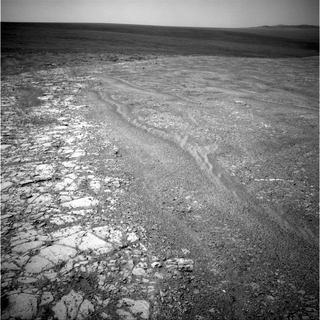
Mars
|
Mars Exploration Rover (MER)
|
Navigation Camera
|
1024x1024x1 |

|
-
PIA17590:
-
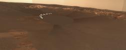
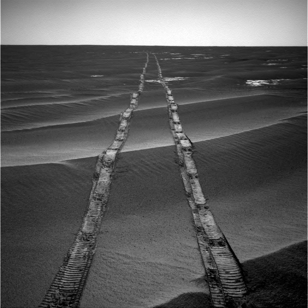
Tracks of a Climb on Opportunity's Sol 3485
Full Resolution:
TIFF
(1.05 MB)
JPEG
(207.9 kB)
|
|
|
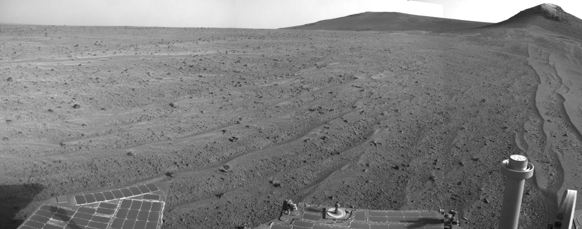
2014-05-19 |
Mars
|
Mars Exploration Rover (MER)
|
Navigation Camera
|
7753x1217x1 |
|
-
PIA18095:
Approaching a Target Deposit on Mars Crater Rim
Full Resolution:
TIFF
(9.445 MB)
JPEG
(1.222 MB)
|
|
|
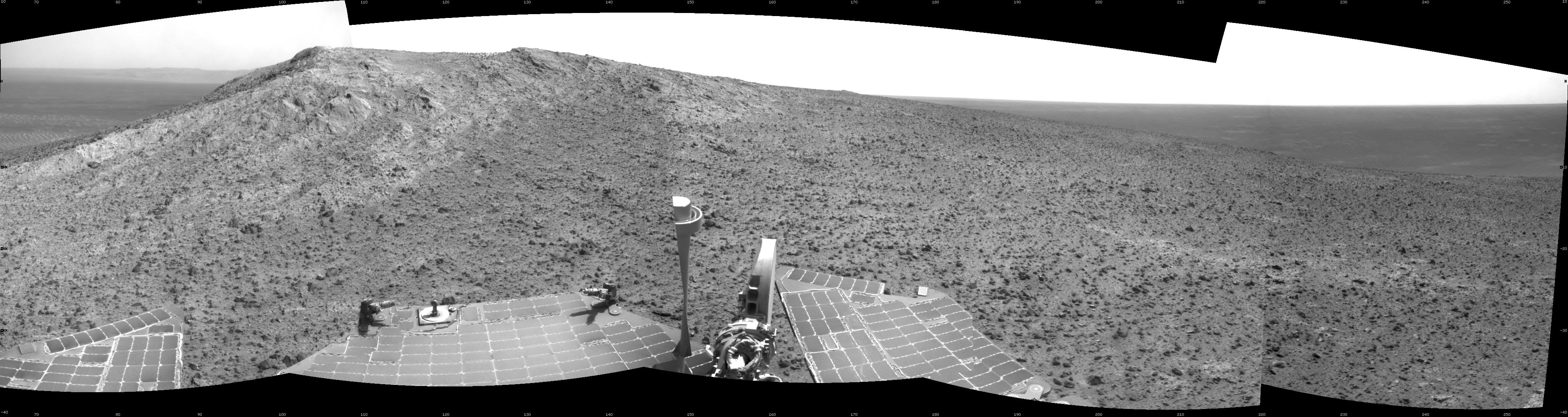
2014-05-19 |
Mars
|
Mars Exploration Rover (MER)
|
Navigation Camera
|
7753x1217x3 |
|
-
PIA18096:
Approaching a Target Deposit on Mars Crater Rim (Stereo)
Full Resolution:
TIFF
(28.32 MB)
JPEG
(1.311 MB)
|
|
|
2014-05-19 |
Mars
|
Mars Exploration Rover (MER)
|
Navigation Camera
|
7753x1168x1 |
|
-
PIA18098:
Opportunity's Tracks Near Crater Rim Ridgeline
Full Resolution:
TIFF
(9.065 MB)
JPEG
(993.8 kB)
|
|
|
2014-05-19 |
Mars
|
Mars Exploration Rover (MER)
|
Navigation Camera
|
7753x1168x3 |
|
-
PIA18099:
Opportunity's Tracks Near Crater Rim Ridgeline (Stereo)
Full Resolution:
TIFF
(27.18 MB)
JPEG
(1.024 MB)
|
|
|
2014-08-14 |
Mars
|
Mars Exploration Rover (MER)
|
Navigation Camera
|
7688x1962x1 |
|
-
PIA18595:
Opportunity's Surroundings After 25 Miles on Mars
Full Resolution:
TIFF
(15.1 MB)
JPEG
(1.245 MB)
|
|
|
2014-08-29 |
Mars
|
Mars Exploration Rover (MER)
|
Navigation Camera
|
2246x884x1 |
|
-
PIA18598:
-
Opportunity's Rear-Facing View Ahead After a Drive
Full Resolution:
TIFF
(1.988 MB)
JPEG
(282.4 kB)
|
|
|
2015-01-08 |
Mars
|
Mars Exploration Rover (MER)
|
Navigation Camera
|
4102x1091x1 |

|
-
PIA19099:
Opportunity's Approach to 'Cape Tribulation' Summit
Full Resolution:
TIFF
(4.484 MB)
JPEG
(663.7 kB)
|
|
|
2015-01-08 |
Mars
|
Mars Exploration Rover (MER)
|
Navigation Camera
|
4136x1278x3 |
|
-
PIA19100:
-
Approach to 'Cape Tribulation' Summit (Stereo)
Full Resolution:
TIFF
(15.87 MB)
JPEG
(779.7 kB)
|
|
|
2015-01-08 |
Mars
|
Mars Exploration Rover (MER)
|
Navigation Camera
|
2586x1007x1 |

|
-
PIA19098:
-
Opportunity's View from Atop 'Cape Tribulation'
Full Resolution:
TIFF
(2.607 MB)
JPEG
(305.3 kB)
|
|
|
2015-01-27 |
Mars
|
Mars Exploration Rover (MER)
|
Navigation Camera
|
3924x2052x3 |
|
-
PIA19112:
-
Lander Trench Dug by Opportunity
Full Resolution:
TIFF
(24.16 MB)
JPEG
(468.4 kB)
|
|
|
2015-03-24 |
Mars
|
Mars Exploration Rover (MER)
|
Navigation Camera
|
7719x1982x1 |
|
-
PIA19155:
Opportunity's Approach to 'Marathon Valley'
Full Resolution:
TIFF
(15.32 MB)
JPEG
(1.195 MB)
|
|
|
2015-03-24 |
Mars
|
Mars Exploration Rover (MER)
|
Navigation Camera
|
7719x1982x3 |
|
-
PIA19156:
Opportunity's Approach to 'Marathon Valley' (Stereo)
Full Resolution:
TIFF
(45.91 MB)
JPEG
(1.493 MB)
|
|
|
2016-03-31 |
Mars
|
Mars Exploration Rover (MER)
|
Navigation Camera
|
1024x1024x1 |
|
-
PIA20329:
-
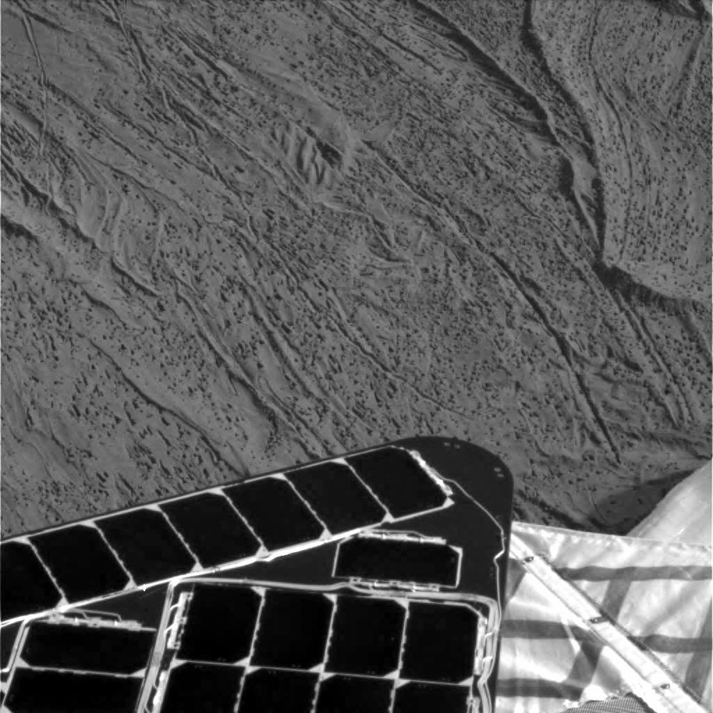
Streaks on Opportunity Solar Panel After Uphill Drive
Full Resolution:
TIFF
(1 MB)
JPEG
(139.9 kB)
|
|
|
2016-04-04 |
Mars
|
Mars Exploration Rover (MER)
|
Navigation Camera
|
1020x1024x1 |

|
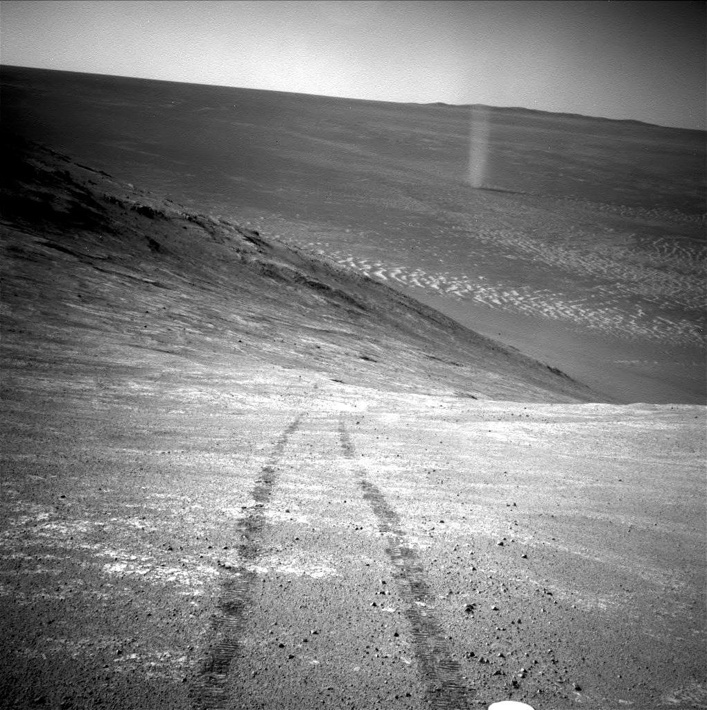
-
PIA20012:
-
Opportunity's Devilish View from on High
Full Resolution:
TIFF
(1.046 MB)
JPEG
(226.3 kB)
|
|
|
2017-05-15 |
Mars
|
Mars Exploration Rover (MER)
|
Navigation Camera
|
1400x788x1 |
|
-
PIA21495:
-
Crater Rim and Plain at Head of 'Perseverance Valley,' Mars
Full Resolution:
TIFF
(779.2 kB)
JPEG
(89.59 kB)
|
|
|
2017-07-20 |
Mars
|
Mars Exploration Rover (MER)
|
Navigation Camera
|
4250x1322x1 |

|
-
PIA21724:
-
View Down 'Perseverance Valley' After Entry at Top
Full Resolution:
TIFF
(3.832 MB)
JPEG
(566 kB)
|
|
|
2017-07-20 |
Mars
|
Mars Exploration Rover (MER)
|
Navigation Camera
|
1024x1024x1 |

|
-
PIA21725:
-
View Back Uphill After Entering 'Perseverance Valley'
Full Resolution:
TIFF
(1.05 MB)
JPEG
(259.8 kB)
|
|
|
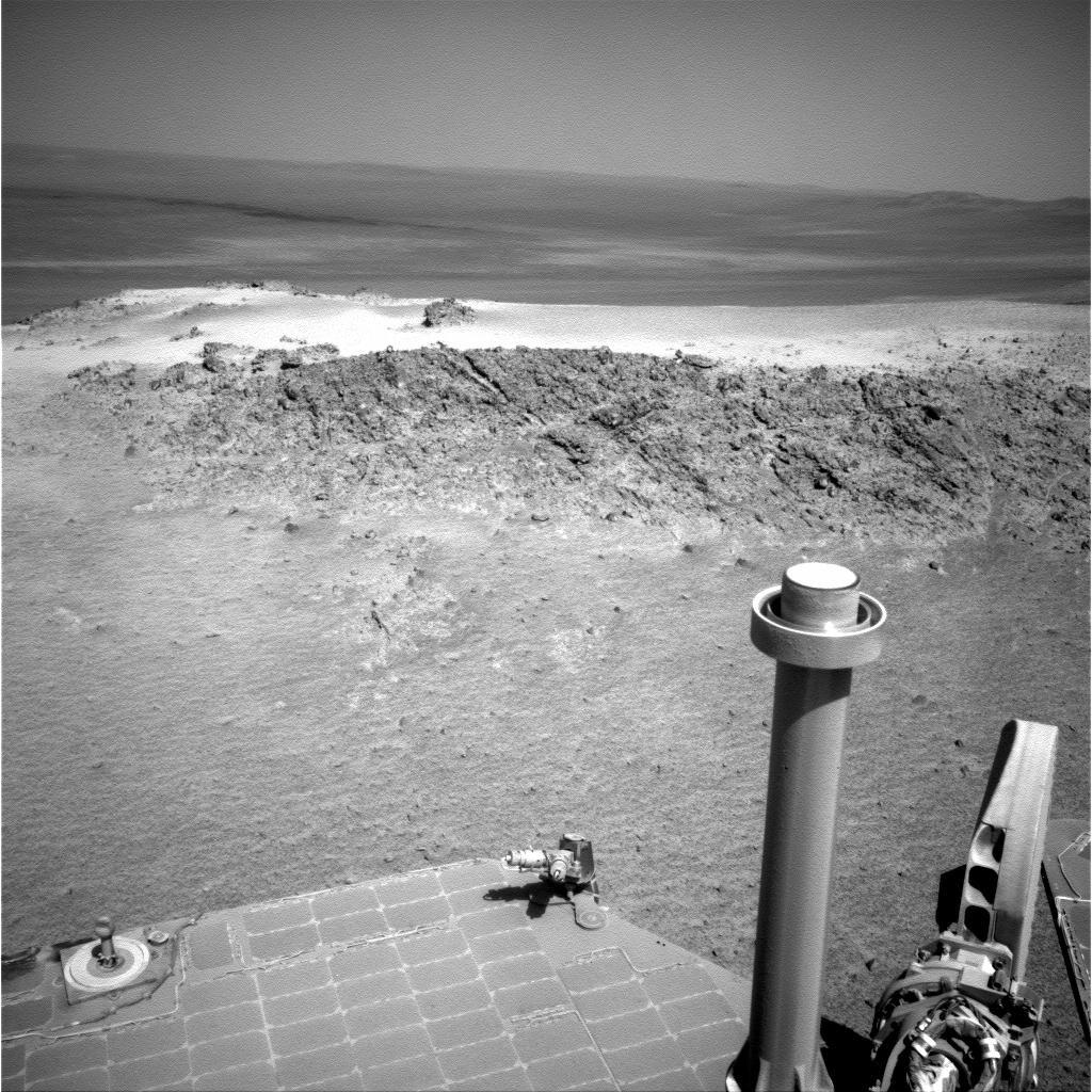
2017-12-06 |
Mars
|
Mars Exploration Rover (MER)
|
Navigation Camera
|
2850x1065x1 |
|
-
PIA22071:
-
Opportunity's View Downhill Catches Martian Shadows
Full Resolution:
TIFF
(1.868 MB)
JPEG
(237 kB)
|
|
|
2018-02-15 |
Mars
|
Mars Exploration Rover (MER)
|
Navigation Camera
|
3741x1361x1 |
|
-
PIA22217:
-
Rock Stripes Pattern in Mars' 'Perseverance Valley'
Full Resolution:
TIFF
(3.633 MB)
JPEG
(601.9 kB)
|
|
|
2018-02-15 |
Mars
|
Mars Exploration Rover (MER)
|
Navigation Camera
|
3253x2519x1 |

|
-
PIA22218:
-
Opportunity Rover Views Ground Texture 'Perseverance Valley'
Full Resolution:
TIFF
(5.531 MB)
JPEG
(1.062 MB)
|
|
|
2019-02-13 |
Mars
|
Mars Exploration Rover (MER)
|
Navigation Camera
|
1024x1024x1 |

|
-
PIA22928:
-
Looking Back on a Golden Opportunity
Full Resolution:
TIFF
(1.022 MB)
JPEG
(159.8 kB)
|
|
|
2019-06-04 |
Mars
|
Mars Exploration Rover (MER)
|
Navigation Camera
|
2000x1200x1 |
|
-
PIA23246:
-
Opportunity's Tracks in Perseverance Valley
Full Resolution:
TIFF
(2.403 MB)
JPEG
(832.6 kB)
|
|
|
2004-03-22 |
Mars
|
Mars Exploration Rover (MER)
|
Navigation Camera
Panoramic Camera
|
22780x3301x1 |
|
-
PIA05600:
Eyeing "Eagle Crater"
Full Resolution:
TIFF
(42.42 MB)
JPEG
(5.139 MB)
|
|
|
2005-11-28 |
Mars
|
Mars Exploration Rover (MER)
|
Navigation Camera
Panoramic Camera
|
1024x1024x3 |
|
-
PIA03576:
-
Windblown Ripple 'Scylla'
Full Resolution:
TIFF
(3.15 MB)
JPEG
(163.9 kB)
|
|
|
2011-09-12 |
Mars
|
Mars Exploration Rover (MER)
|
Navigation Camera
Panoramic Camera
|
3072x3072x3 |

|
-
PIA14750:
-
Memorial Image Taken on Mars on Sept. 11, 2011
Full Resolution:
TIFF
(28.31 MB)
JPEG
(1.098 MB)
|
|
|
2011-04-08 |
Mars
|
Mars Exploration Rover (MER)
|
Navigation Camera
Rock Abrasion Tool (RAT)
|
1024x1024x1 |

|
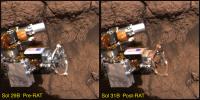
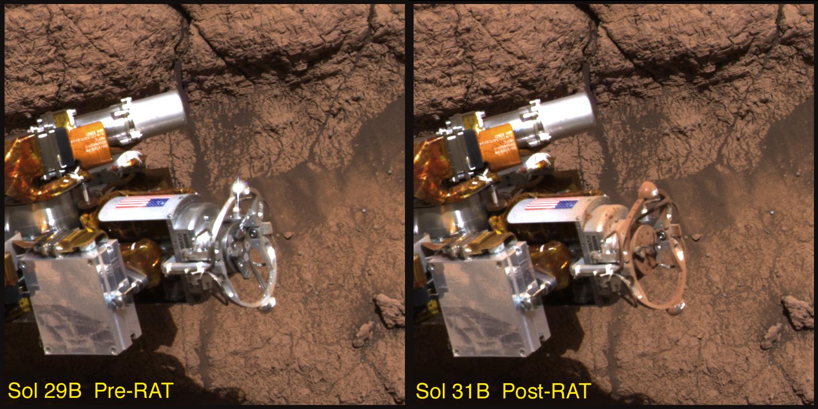
-
PIA13982:
-
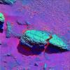
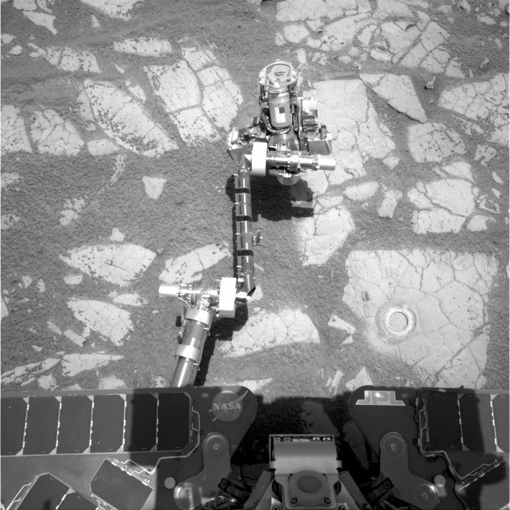
Opportunity's Arm and 'Gagarin' Rock, Sol 405
Full Resolution:
TIFF
(1.05 MB)
JPEG
(169 kB)
|
|
|
2004-03-05 |
Mars
|
Mars Exploration Rover (MER)
|
Panoramic Camera
|
1920x1080x3 |
|
-
PIA05503:
-
Rare Glance at "Last Chance"
Full Resolution:
TIFF
(2.228 MB)
JPEG
(101.8 kB)
|
|
|
2004-03-06 |
Mars
|
Mars Exploration Rover (MER)
|
Panoramic Camera
|
5195x828x3 |
|
-
PIA05514:
Opportunity's Heatshield on the Horizon
Full Resolution:
TIFF
(5.996 MB)
JPEG
(239.5 kB)
QTVR
(297.2 kB)
|
|
|
2004-03-06 |
Mars
|
Mars Exploration Rover (MER)
|
Panoramic Camera
|
4159x3028x3 |

|
-
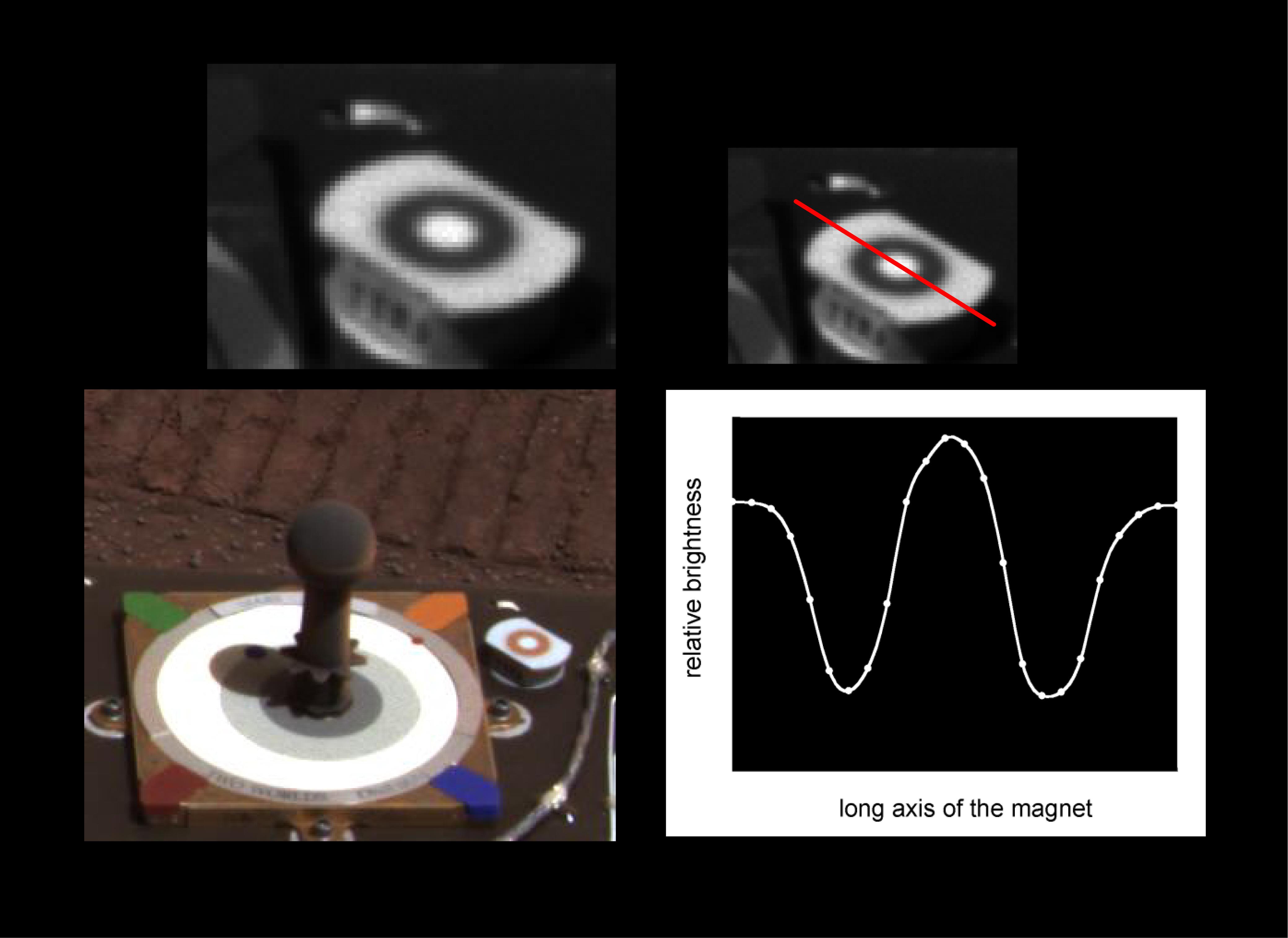
PIA05512:
-
Martian Dust Mostly Magnetic
Full Resolution:
TIFF
(7.605 MB)
JPEG
(464.4 kB)
|
|
|
2004-03-06 |
Mars
|
Mars Exploration Rover (MER)
|
Panoramic Camera
|
1920x1080x3 |
|
-
PIA05508:
-
Spotlight on "El Capitan"
Full Resolution:
TIFF
(3.541 MB)
JPEG
(91.74 kB)
|
|
|
2004-03-06 |
Mars
|
Mars Exploration Rover (MER)
|
Panoramic Camera
|
1616x808x3 |
|
-
PIA05505:
-
You Dirty Rat!
Full Resolution:
TIFF
(3.924 MB)
JPEG
(206.8 kB)
|
|
|
2004-01-28 |
Mars
|
Mars Exploration Rover (MER)
|
Panoramic Camera
|
2756x2064x3 |
|
-
PIA05060:
-
Opportunity Rocks!
Full Resolution:
TIFF
(6.286 MB)
JPEG
(455.7 kB)
|
|
|
2004-01-28 |
Mars
|
Mars Exploration Rover (MER)
|
Panoramic Camera
|
1024x1024x1 |
|
-
PIA05160:
-
Opportunity Rocks!
Full Resolution:
TIFF
(773.8 kB)
JPEG
(190.8 kB)
|
|
|
2004-01-25 |
Mars
|
Mars Exploration Rover (MER)
|
Panoramic Camera
|
512x512x1 |
|
-
PIA05140:
-
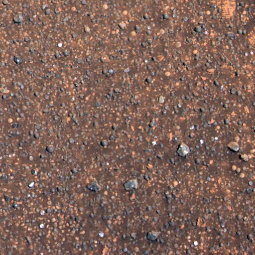
Meridiani Planum Soil
Full Resolution:
TIFF
(262.6 kB)
JPEG
(40.92 kB)
|
|
|
2004-01-25 |
Mars
|
Mars Exploration Rover (MER)
|
Panoramic Camera
|
1024x1024x1 |
|
-
PIA05141:
-
Meridiani Planum Soil-2
Full Resolution:
TIFF
(1.019 MB)
JPEG
(175.5 kB)
|
|
|
2004-01-25 |
Mars
|
Mars Exploration Rover (MER)
|
Panoramic Camera
|
1024x1024x1 |
|
-
PIA05142:
-
Airbag Impressions in Soil
Full Resolution:
TIFF
(1.05 MB)
JPEG
(261.4 kB)
|
|
|
2004-01-25 |
Mars
|
Mars Exploration Rover (MER)
|
Panoramic Camera
|
1024x1024x1 |

|
-
PIA05143:
-
Airbag Seams Leave Trails
Full Resolution:
TIFF
(1.015 MB)
JPEG
(139.8 kB)
|
|
|
2004-01-25 |
Mars
|
Mars Exploration Rover (MER)
|
Panoramic Camera
|
2319x2915x3 |
|
-
PIA05144:
-
Meridiani Planum in Color
Full Resolution:
TIFF
(13.43 MB)
JPEG
(514 kB)
|
|
|
2004-01-25 |
Mars
|
Mars Exploration Rover (MER)
|
Panoramic Camera
|
1024x1024x1 |
|
-
PIA05149:
-
A Curious Landscape
Full Resolution:
TIFF
(500.3 kB)
JPEG
(118.1 kB)
|
|
|
2004-01-26 |
Mars
|
Mars Exploration Rover (MER)
|
Panoramic Camera
|
7838x2915x3 |
|
-
PIA05152:
-
A Hole in One
Full Resolution:
TIFF
(41.37 MB)
JPEG
(2.041 MB)
|
|
|
2004-01-27 |
Mars
|
Mars Exploration Rover (MER)
|
Panoramic Camera
|
1534x1021x3 |
|
-
PIA05157:
-
A Precious Opportunity
Full Resolution:
TIFF
(1.222 MB)
JPEG
(144.6 kB)
|
|
|
2004-01-27 |
Mars
|
Mars Exploration Rover (MER)
|
Panoramic Camera
|
7450x1122x1 |
|
-
PIA05158:
Not of this Earth
Full Resolution:
TIFF
(5.902 MB)
JPEG
(781.4 kB)
|
|
|
2004-01-28 |
Mars
|
Mars Exploration Rover (MER)
|
Panoramic Camera
|
5421x663x1 |

|
-
PIA05159:
Shades and Shapes of Mars
Full Resolution:
TIFF
(2.359 MB)
JPEG
(496.1 kB)
|
|
|
2004-01-28 |
Mars
|
Mars Exploration Rover (MER)
|
Panoramic Camera
|
2098x1024x1 |
|
-
PIA05161:
-
Airbag Tracks on Mars
Full Resolution:
TIFF
(2.151 MB)
JPEG
(508.7 kB)
|
|
|
2004-01-28 |
Mars
|
Mars Exploration Rover (MER)
|
Panoramic Camera
|
912x804x3 |
|
-
PIA05162:
-
Opportunity Rocks Again!
Full Resolution:
TIFF
(1.528 MB)
JPEG
(75.25 kB)
|
|
|
2004-01-28 |
Mars
|
Mars Exploration Rover (MER)
|
Panoramic Camera
|
6398x1150x3 |

|
-
PIA05163:
A Geologist's Treasure Trove
Full Resolution:
TIFF
(10.33 MB)
JPEG
(559.6 kB)
QTVR
(647.6 kB)
|
|
|
2004-01-30 |
Mars
|
Mars Exploration Rover (MER)
|
Panoramic Camera
|
5120x4096x1 |
|
-
PIA05172:
-
A Unique Opportunity
Full Resolution:
TIFF
(8.128 MB)
JPEG
(6.463 MB)
|
|
|
2004-01-30 |
Mars
|
Mars Exploration Rover (MER)
|
Panoramic Camera
|
602x603x3 |
|
-
PIA05173:
-
An Intimate Look at a Martian Crater
Full Resolution:
TIFF
(386.2 kB)
JPEG
(73.46 kB)
|
|
|
2004-02-02 |
Mars
|
Mars Exploration Rover (MER)
|
Panoramic Camera
|
1065x789x3 |

|
-
PIA05190:
-
Rock Outcrop Spectra
Full Resolution:
TIFF
(881 kB)
JPEG
(95.54 kB)
|
|
|
2004-02-02 |
Mars
|
Mars Exploration Rover (MER)
|
Panoramic Camera
|
1059x797x3 |
|
-
PIA05192:
-
Lily Pad Spectra
Full Resolution:
TIFF
(916.3 kB)
JPEG
(109.4 kB)
|
|
|
2004-02-02 |
Mars
|
Mars Exploration Rover (MER)
|
Panoramic Camera
|
512x512x1 |

|
-
PIA05194:
-
Rat on Mars
Full Resolution:
TIFF
(235.1 kB)
JPEG
(31.83 kB)
|
|
|
2004-02-02 |
Mars
|
Mars Exploration Rover (MER)
|
Panoramic Camera
|
11388x1406x3 |

|
-
PIA05199:
As Far as Opportunity's Eye Can See
Full Resolution:
TIFF
(21.86 MB)
JPEG
(1.176 MB)
QTVR
(1.336 MB)
|
|
|
2004-02-09 |
Mars
|
Mars Exploration Rover (MER)
|
Panoramic Camera
|
1024x512x3 |
|
-
PIA05233:
-
Opportunity Spies Its Backshell
Full Resolution:
TIFF
(1.105 MB)
JPEG
(34.25 kB)
|
|
|
2004-02-09 |
Mars
|
Mars Exploration Rover (MER)
|
Panoramic Camera
|
5989x2270x3 |
|
-
PIA05234:
-
Stone Mountain in Context
Full Resolution:
TIFF
(9.509 MB)
JPEG
(1.106 MB)
|
|
|
2004-02-09 |
Mars
|
Mars Exploration Rover (MER)
|
Panoramic Camera
|
1025x1025x3 |
|
-
PIA05235:
-
Stone Mountain
Full Resolution:
TIFF
(2.578 MB)
JPEG
(145.9 kB)
|
|
|
2004-02-09 |
Mars
|
Mars Exploration Rover (MER)
|
Panoramic Camera
|
1025x1025x3 |
|
-
PIA05236:
-
Speckled with Spherules
Full Resolution:
TIFF
(3.156 MB)
JPEG
(239.7 kB)
|
|
|
2004-02-19 |
Mars
|
Mars Exploration Rover (MER)
|
Panoramic Camera
|
13884x3356x1 |
|
-
PIA05328:
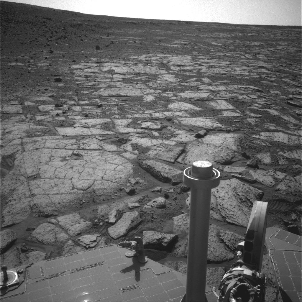
Charlie Flats and El Capitan
Full Resolution:
TIFF
(25.4 MB)
JPEG
(6.156 MB)
|
|
|
2004-02-26 |
Mars
|
Mars Exploration Rover (MER)
|
Panoramic Camera
|
360x240x101 |
|
-
PIA05343:
-
The Sun Sets on Mars

Full Resolution:
|
|
|
2004-02-26 |
Mars
|
Mars Exploration Rover (MER)
|
Panoramic Camera
|
2560x1022x3 |
|
-
PIA05451:
-
Opportunity Landing Spot Panorama (3-D Model)
Full Resolution:
TIFF
(4.896 MB)
JPEG
(191 kB)
|
|
|
2004-02-26 |
Mars
|
Mars Exploration Rover (MER)
|
Panoramic Camera
|
512x512x3 |
|
-
PIA05456:
-
Charlie Flats
Full Resolution:
TIFF
(787.5 kB)
JPEG
(66.55 kB)
|
|
|
2004-02-26 |
Mars
|
Mars Exploration Rover (MER)
|
Panoramic Camera
|
1661x1400x3 |
|
-
PIA05457:
-
El Capitan
Full Resolution:
TIFF
(5.975 MB)
JPEG
(551.8 kB)
|
|
|
2004-02-27 |
Mars
|
Mars Exploration Rover (MER)
|
Panoramic Camera
|
4367x2997x3 |

|
-
PIA05460:
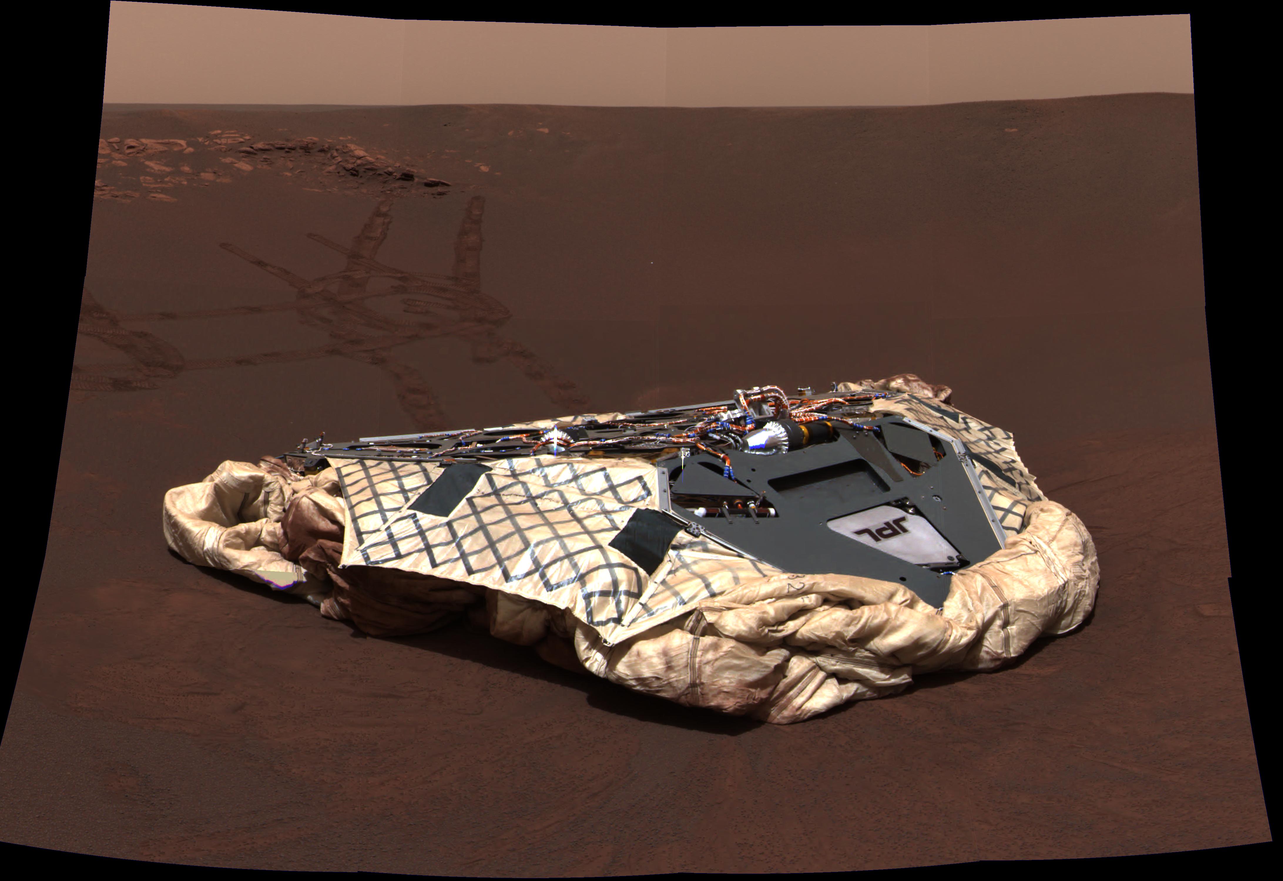
-
Opportunity's Empty Nest
Full Resolution:
TIFF
(24.87 MB)
JPEG
(741.8 kB)
|
|
|
2004-02-27 |
Mars
|
Mars Exploration Rover (MER)
|
Panoramic Camera
|
1113x731x3 |
|
-
PIA05461:
-
Pre-Planning the "Last Chance"
Full Resolution:
TIFF
(852.1 kB)
JPEG
(152.5 kB)
|
|
|
2004-03-02 |
Mars
|
Mars Exploration Rover (MER)
|
Panoramic Camera
|
1024x1024x3 |

|
-
PIA05478:
-
The Texture of El Capitan
Full Resolution:
TIFF
(3.15 MB)
JPEG
(192.8 kB)
|
|
|
2004-03-02 |
Mars
|
Mars Exploration Rover (MER)
|
Panoramic Camera
|
1278x352x3 |
|
-
PIA05484:
Opportunity Spies "Endurance" on the Horizon
Full Resolution:
TIFF
(712.3 kB)
JPEG
(41.42 kB)
|
|
|
2004-03-02 |
Mars
|
Mars Exploration Rover (MER)
|
Panoramic Camera
|
447x333x3 |
|
-
PIA05482:
-
Ripples in Rocks Point to Water
Full Resolution:
TIFF
(427 kB)
JPEG
(21.8 kB)
|
|
|
2004-03-02 |
Mars
|
Mars Exploration Rover (MER)
|
Panoramic Camera
|
3100x1373x3 |

|
-
PIA05492:
-
"El Capitan's" Scientific Gems
Full Resolution:
TIFF
(9.472 MB)
JPEG
(495.7 kB)
|
|
|
2004-03-18 |
Mars
|
Mars Exploration Rover (MER)
|
Panoramic Camera
|
895x726x3 |
|
-
PIA05584:
-
'Berries' and Rock Share Common Origins
Full Resolution:
TIFF
(1.951 MB)
JPEG
(155.1 kB)
|
|
|
2004-03-18 |
Mars
|
Mars Exploration Rover (MER)
|
Panoramic Camera
|
1024x1024x3 |
|
-
PIA05588:
-
'Berries' Here, There, Everywhere
Full Resolution:
TIFF
(3.132 MB)
JPEG
(140.4 kB)
|
|
|
2004-03-19 |
Mars
|
Mars Exploration Rover (MER)
|
Panoramic Camera
|
4799x4120x3 |
|
-
PIA05595:
-
Eagle Crater Traverse Area
Full Resolution:
TIFF
(29.62 MB)
JPEG
(1.036 MB)
|
|
|
2004-03-27 |
Mars
|
Mars Exploration Rover (MER)
|
Panoramic Camera
|
640x640x1 |
|
-
PIA05648:
-
Where Light Meets Dark
Full Resolution:
TIFF
(300.4 kB)
JPEG
(35.22 kB)
|
|
|
2004-04-01 |
Mars
|
Mars Exploration Rover (MER)
|
Panoramic Camera
|
2529x379x3 |
|
-
PIA05669:
Rock on the Range
Full Resolution:
TIFF
(1.644 MB)
JPEG
(54.34 kB)
QTVR
(83.43 kB)
|
|
|
2004-04-01 |
Mars
|
Mars Exploration Rover (MER)
|
Panoramic Camera
|
1024x768x1 |
|
-
PIA05670:
-
Bounce Rock Close-Up
Full Resolution:
TIFF
(562.7 kB)
JPEG
(137.7 kB)
|


