PIA17590: Tracks of a Climb on Opportunity's Sol 3485
 Target Name:  Mars
 Is a satellite of:  Sol (our sun)
 Mission:  Mars Exploration Rover (MER)
 Spacecraft:  Opportunity
 Instrument:  Navigation Camera
 Product Size:  1024 x 1024 pixels (w x h)
 Produced By:  JPL
 Full-Res TIFF:  PIA17590.tif (1.05 MB)
 Full-Res JPEG:  PIA17590.jpg (207.9 kB)

Click on the image above to download a moderately sized image in JPEG format (possibly reduced in size from original)

Original Caption Released with Image:

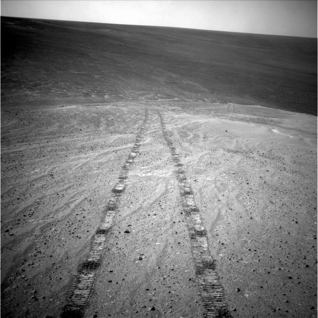
After driving uphill about 139 feet (42.5 meters) during the 3,485th Martian day, or sol, of its work on Mars (Nov. 12, 2013), NASA's Mars Exploration Rover Opportunity captured this image with its navigation camera. The climb ascended "Murray Ridge" above "Solander Point" on the western rim of Endeavour Crater.

The view is toward the north-northeast. The distance between the two parallel tracks is about 3.3 feet (1 meter). This sol's drive brought Opportunity's cumulative driving distance to 24.01 miles (38.64 kilometers).

Image Credit:
NASA/JPL-Caltech

Image Addition Date:
2013-12-03