|
Your search criteria found 3151 images Feature Name |
| My List |
Addition Date |
Target
|
Mission | Instrument | Size |

|
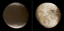
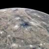
2009-12-10 | Iapetus |
Cassini-Huygens |
ISS - Narrow Angle |
2448x1200x3 |
|
|||||
|
|
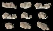
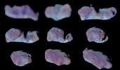
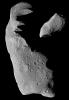
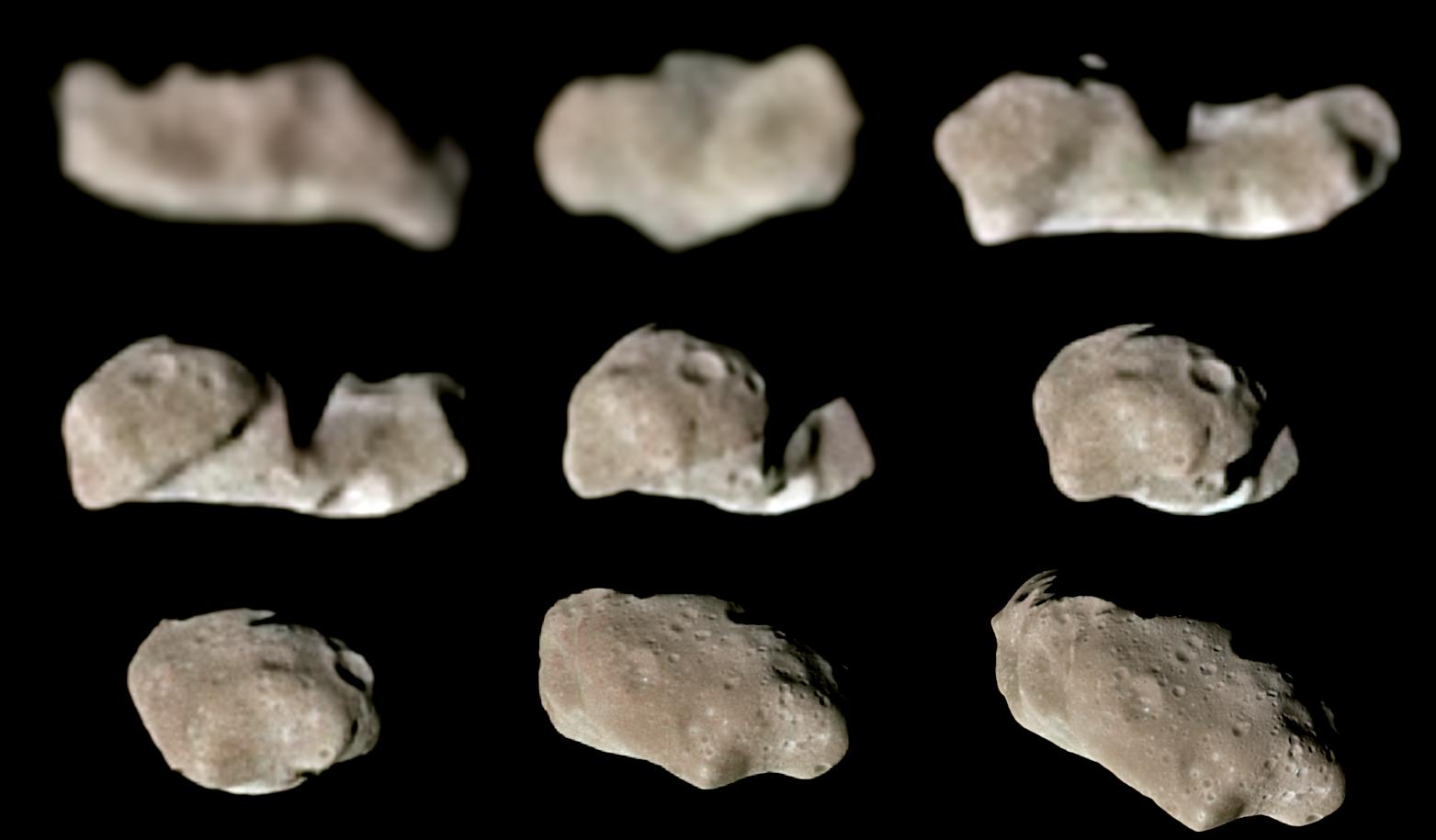
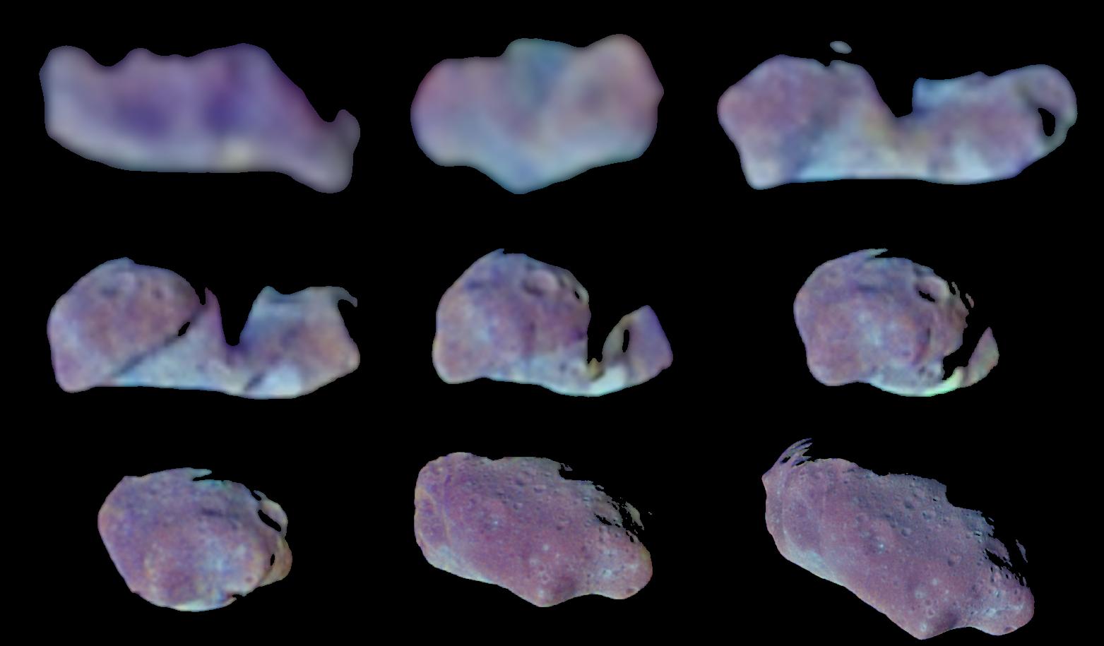
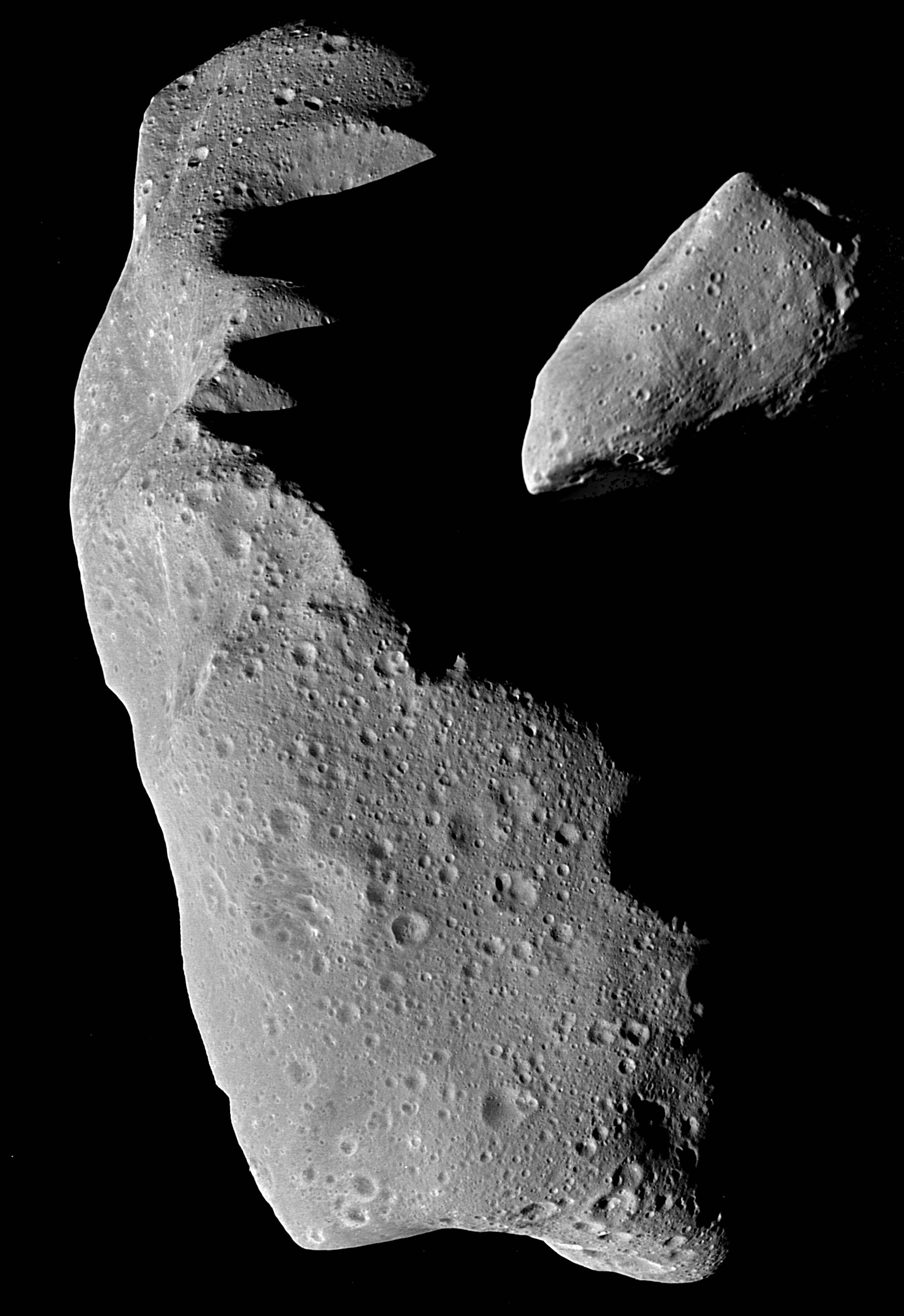
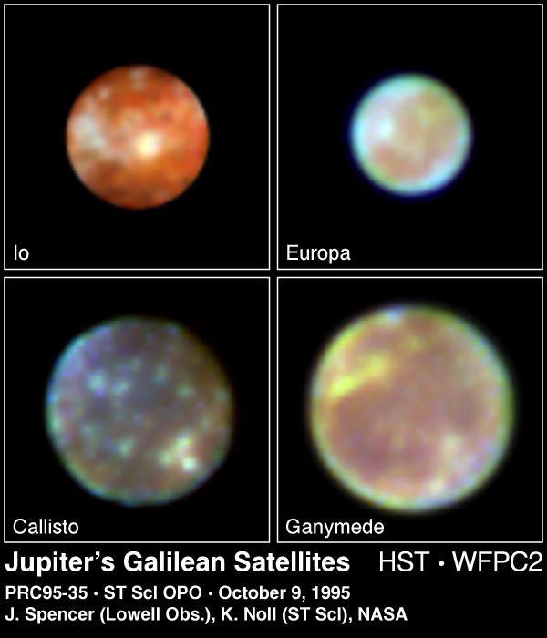
1996-01-29 | Ida |
Galileo |
Solid-State Imaging |
860x550x1 |

|
|||||
|
|
1998-06-04 | Ida |
Galileo |
Solid-State Imaging |
1563x915x3 |
|
|||||
|
|
1998-06-04 | Ida |
Galileo |
Solid-State Imaging |
1563x915x3 |
|
|||||
|
|
1998-06-04 | Ida |
Galileo |
Solid-State Imaging |
3195x4650x1 |
|
|||||
|
|
1997-01-09 | Io |
Voyager |
VG ISS - Narrow Angle |
680x500x1 |

|
|||||
|
|
1997-12-18 | Io |
Galileo |
Solid-State Imaging |
800x800x1 |

|
|||||
|
|
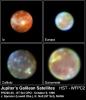
1997-12-18 | Io |
Galileo |
Solid-State Imaging |
1817x1817x3 |
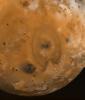
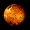
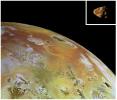
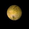
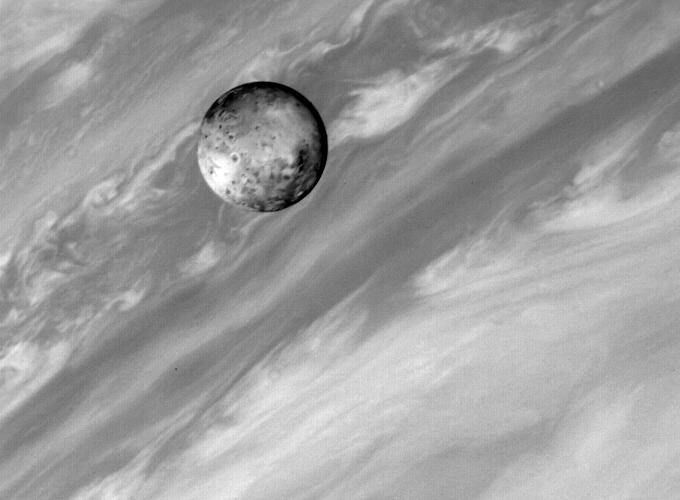
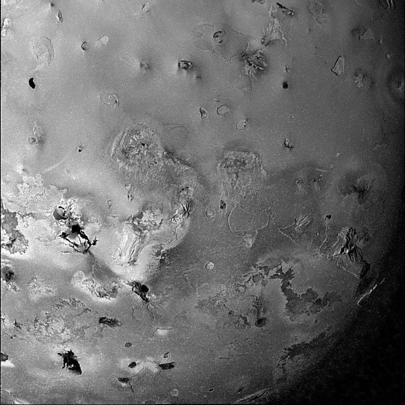
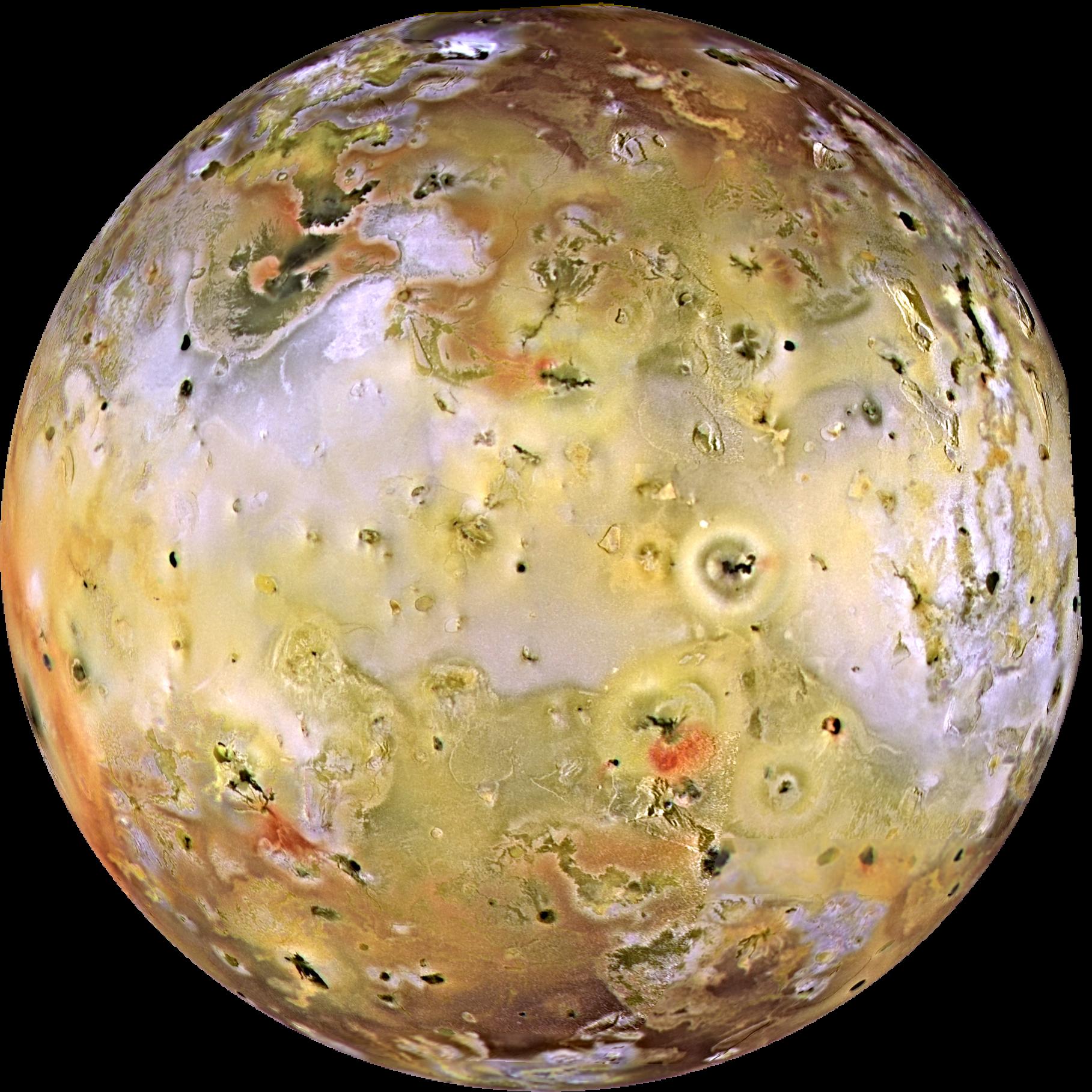
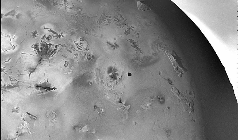
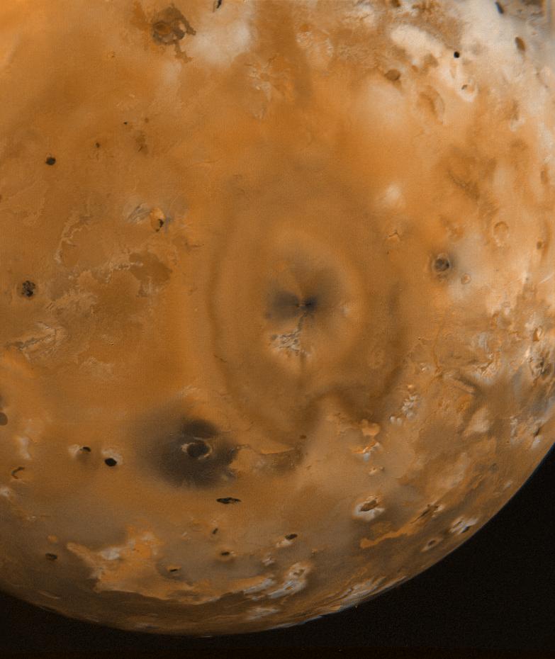
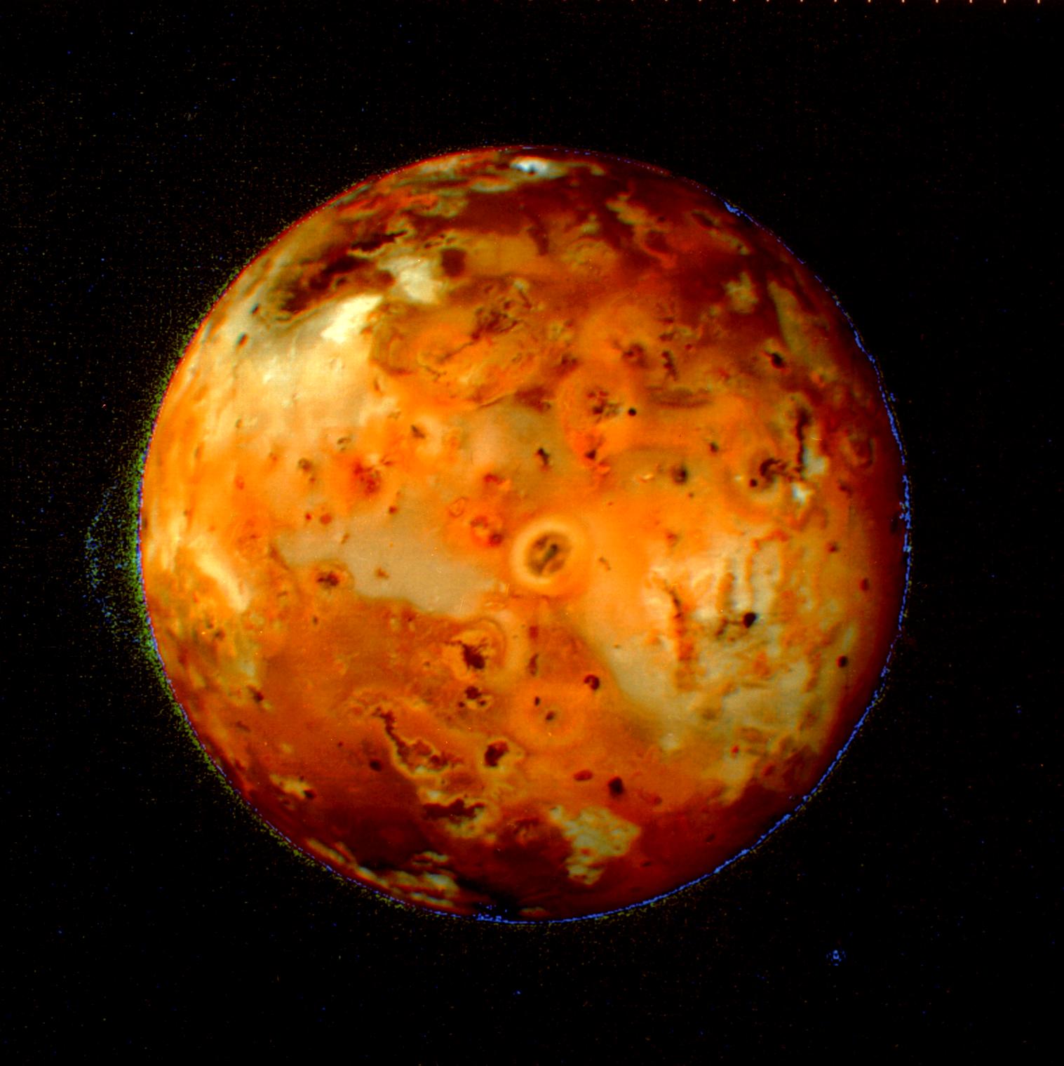
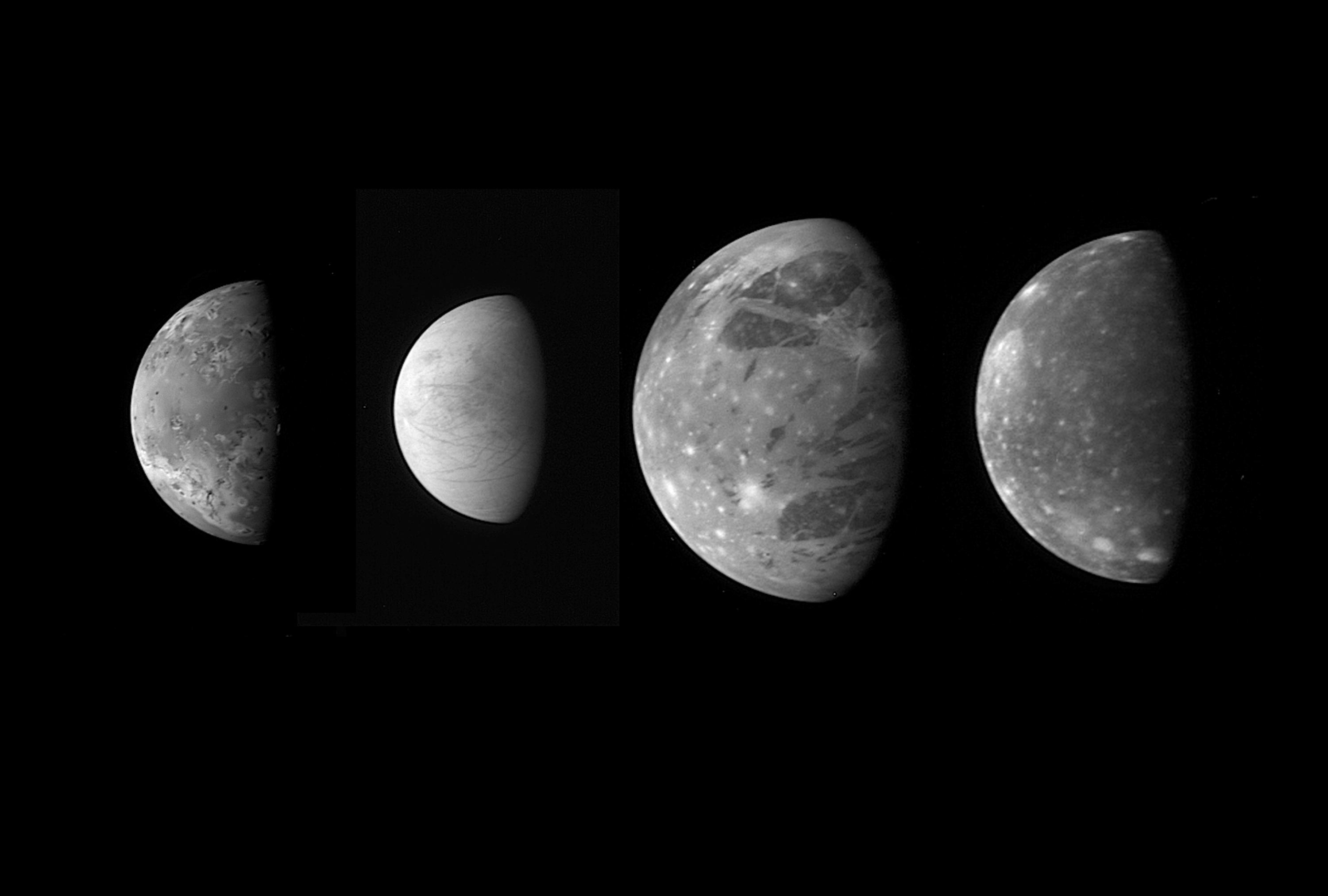
![Io, the most volcanic body in the solar system is seen in the highest resolution obtained to date [Sept.7 & Nov. 6, 1996] by NASA's Galileo spacecraft.](/thumb/PIA00583.jpg)
|
|||||
|
|
1998-02-04 | Io |
Galileo |
Solid-State Imaging |
2290x1308x3 |
|
|||||
|
|
1997-12-18 | Io |
Galileo |
Solid-State Imaging |
743x647x1 |
|
|||||
|
|
1997-12-18 | Io |
Galileo |
Solid-State Imaging |
800x472x1 |
|
|||||
|
|
1997-12-18 | Io |
Galileo |
Solid-State Imaging |
800x615x1 |
|
|||||
|
|
1997-12-18 | Io |
Galileo |
Solid-State Imaging |
797x752x1 |
|
|||||
|
|
1997-12-18 | Io |
Galileo |
Solid-State Imaging |
685x752x1 |
|
|||||
|
|
1998-05-08 | Io |
Galileo |
Solid-State Imaging |
1927x619x3 |
|
|||||
|
|
1999-03-13 | Io |
Voyager |
VG ISS - Narrow Angle |
783x930x3 |
|
|||||
|
|
1999-05-08 | Io |
Voyager |
1517x1519x3 | |
|
|||||
|
|
1998-09-15 | Io |
Galileo |
Solid-State Imaging |
471x404x3 |
|
|||||
|
|
1999-07-16 | Io |
Voyager |
VG ISS - Narrow Angle |
300x300x3 |
|
|||||
|
|
2000-01-04 | Io |
Voyager |
VG ISS - Narrow Angle |
794x794x1 |
|
|||||
|
|
2000-10-26 | Io |
Galileo |
Solid-State Imaging |
1152x483x3 |
|
|||||
|
|
2013-02-05 | ISON |
Deep Impact |
Medium Resolution Instrument (MRI) |
786x720x1 |
|
|||||
|
|
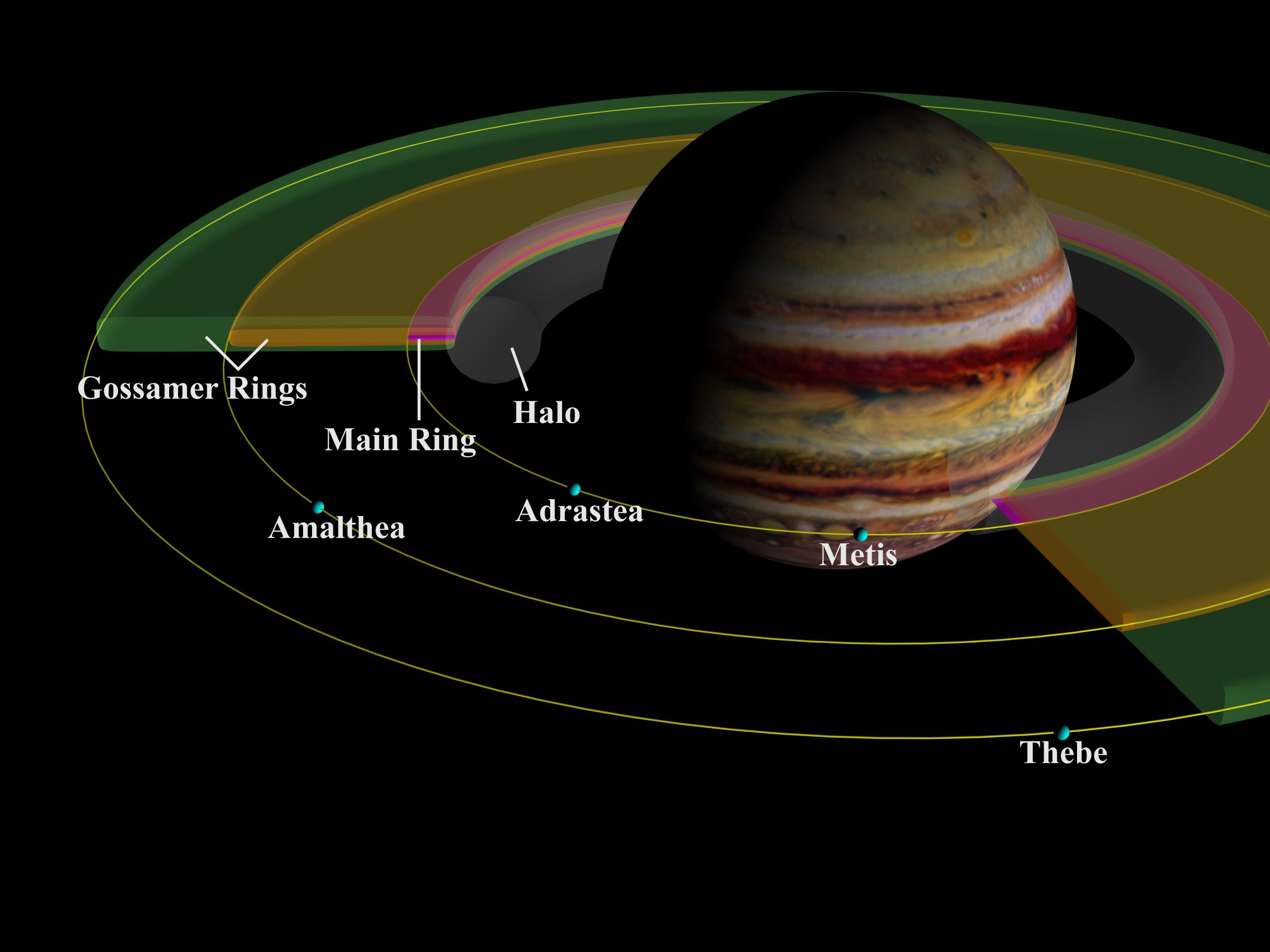
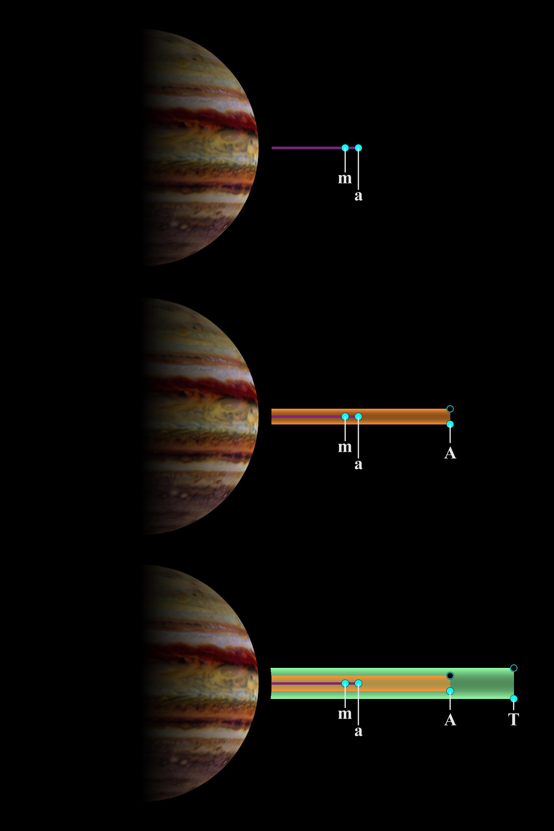
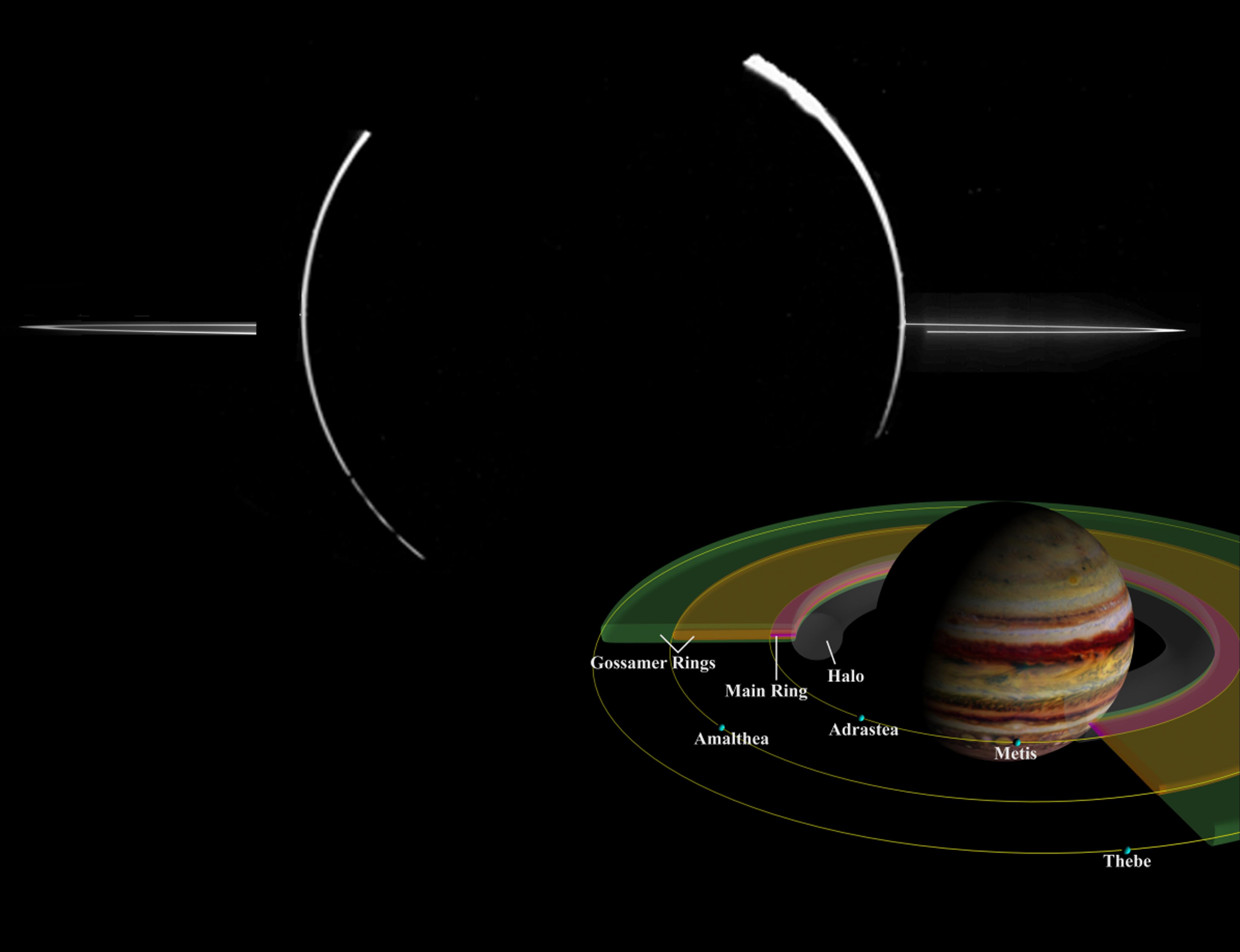
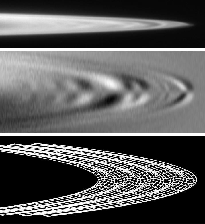
1998-09-15 | J Rings |
Galileo |
Solid-State Imaging |
2560x1920x3 |
|
|||||
|
|
1998-09-15 | J Rings |
Galileo |
Solid-State Imaging |
1800x2700x3 |
|
|||||
|
|
2000-09-25 | J Rings |
Galileo |
Solid-State Imaging |
4306x3306x3 |
|
|||||
|
|
2011-03-31 | J Rings |
Galileo |
Solid-State Imaging |
715x781x1 |
|
|||||
|
|
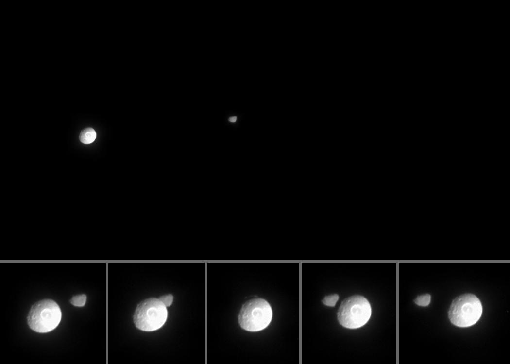
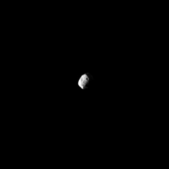
2005-03-21 | Janus |
Cassini-Huygens |
ISS - Narrow Angle |
1050x750x1 |
|
|||||
|
|
2005-06-27 | Janus |
Cassini-Huygens |
ISS - Narrow Angle |
444x412x1 |
|
|||||
|
|
2008-11-06 | Janus |
Cassini-Huygens |
ISS - Narrow Angle |
980x980x1 |
|
|||||
|
|
2010-09-06 | Janus |
Cassini-Huygens |
ISS - Narrow Angle |
960x960x1 |
|
|||||
|
|
2013-07-01 | Janus |
Cassini-Huygens |
ISS - Narrow Angle |
542x542x1 |

|
|||||
|
|
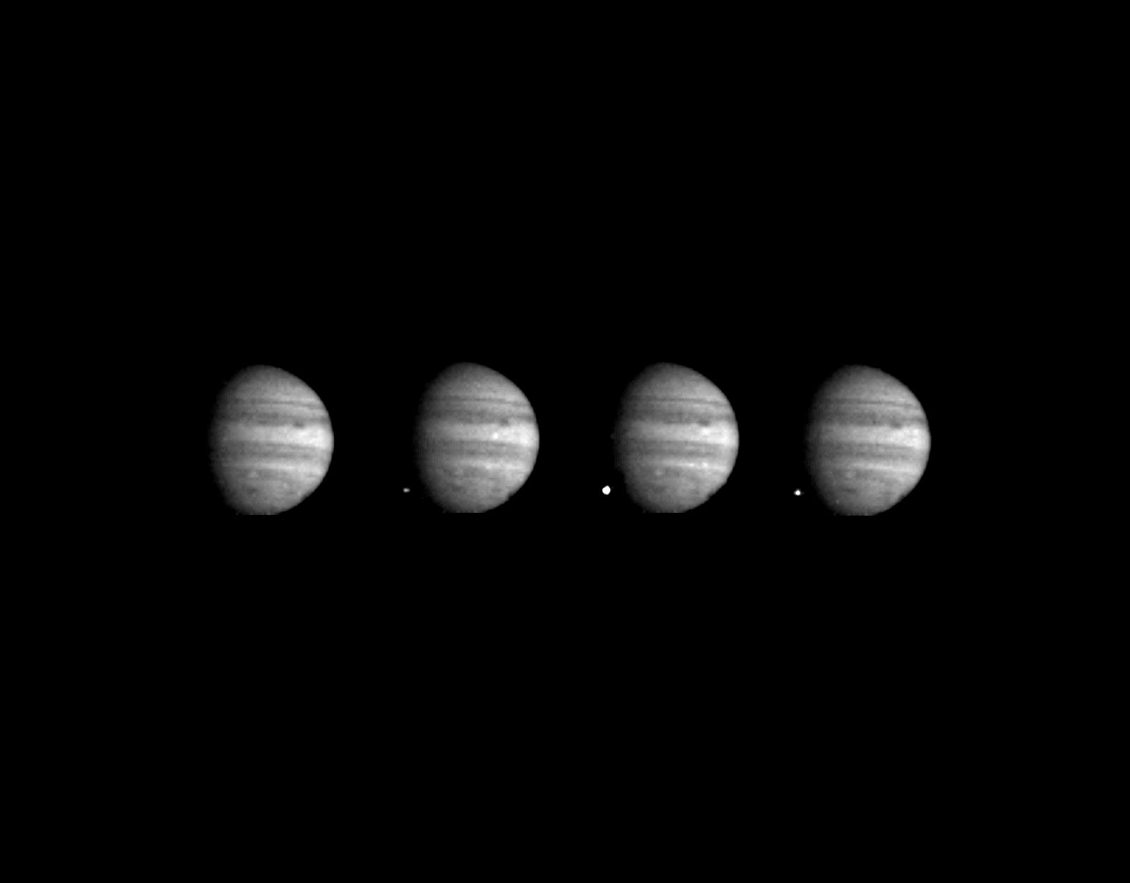
1996-01-29 | Jupiter |
Galileo |
Solid-State Imaging |
1600x1250x1 |
|
|||||
|
|
1998-05-02 | Jupiter |
Hubble Space Telescope |
WFPC2 |
600x700x3 |
|
|||||
|
|
1998-05-02 | Jupiter |
Hubble Space Telescope |
WFPC2 |
750x700x3 |
|
|||||
|
|
1998-05-02 | Jupiter |
Hubble Space Telescope |
WFPC2 |
830x568x3 |
|
|||||
|
|
1998-05-02 | Jupiter |
Hubble Space Telescope |
WFPC2 |
800x600x1 |

|
|||||
|
|
1998-05-02 | Jupiter |
Hubble Space Telescope |
WFPC2 |
600x854x1 |
|
|||||
|
|
1998-06-10 | Jupiter |
Galileo |
Solid-State Imaging |
900x900x3 |
|
|||||
|
|
1998-06-10 | Jupiter |
Galileo |
Solid-State Imaging |
900x950x3 |

|
|||||
|
|
1998-06-10 | Jupiter |
Galileo |
Solid-State Imaging |
900x950x3 |
|
|||||
|
|
1998-06-10 | Jupiter |
Galileo |
Solid-State Imaging |
900x900x3 |
|
|||||
|
|
2000-12-21 | Jupiter |
Cassini-Huygens |
Imaging Science Subsystem |
846x1016x3 |
|
|||||
|
|
2000-12-23 | Jupiter |
Cassini-Huygens |
Imaging Science Subsystem |
747x731x3 |
|
|||||
|
|
2007-05-01 | Jupiter |
New Horizons |
LORRI |
3000x2025x1 |

|
|||||
|
|
2009-07-20 | Jupiter |
IRTF |
806x1450x1 | |
|
|||||
|
|
2009-07-20 | Jupiter |
IRTF |
640x350x1 | |
|
|||||
|
|
2011-01-26 | Jupiter |
IRTF |
Infrared Telescope |
5000x2317x3 |
|
|||||
|
|
2011-01-26 | Jupiter |
Gemini North Telescope |
1015x783x3 | |

|
|||||
|
|
2011-01-26 | Jupiter |
IRTF |
Visible Light Camera Gemini North Telescope Hubble Space Telescope VLT |
1202x1200x3 |
|
|||||
|
|
2011-03-31 | Jupiter |
Galileo |
2610x4104x3 | |
|
|||||
|
|
2012-10-17 | Jupiter |
IRTF |
Infrared Telescope |
603x326x1 |
|
|||||
|
|
2013-04-23 | Jupiter |
Herschel Space Observatory |
PACS |
1765x1716x3 |
|
|||||
|
|
2022-01-20 | Jupiter |
Juno |
1920x1080x3 | |
|
|||||
|
|
2022-02-22 | Jupiter |
Juno |
JunoCam |
3012x3012x3 |
|
|||||
|
|
2005-04-26 | M11 |
Deep Impact |
Impactor Targeting Sensor (ITS) |
1000x1000x1 |
|
|||||
|
|
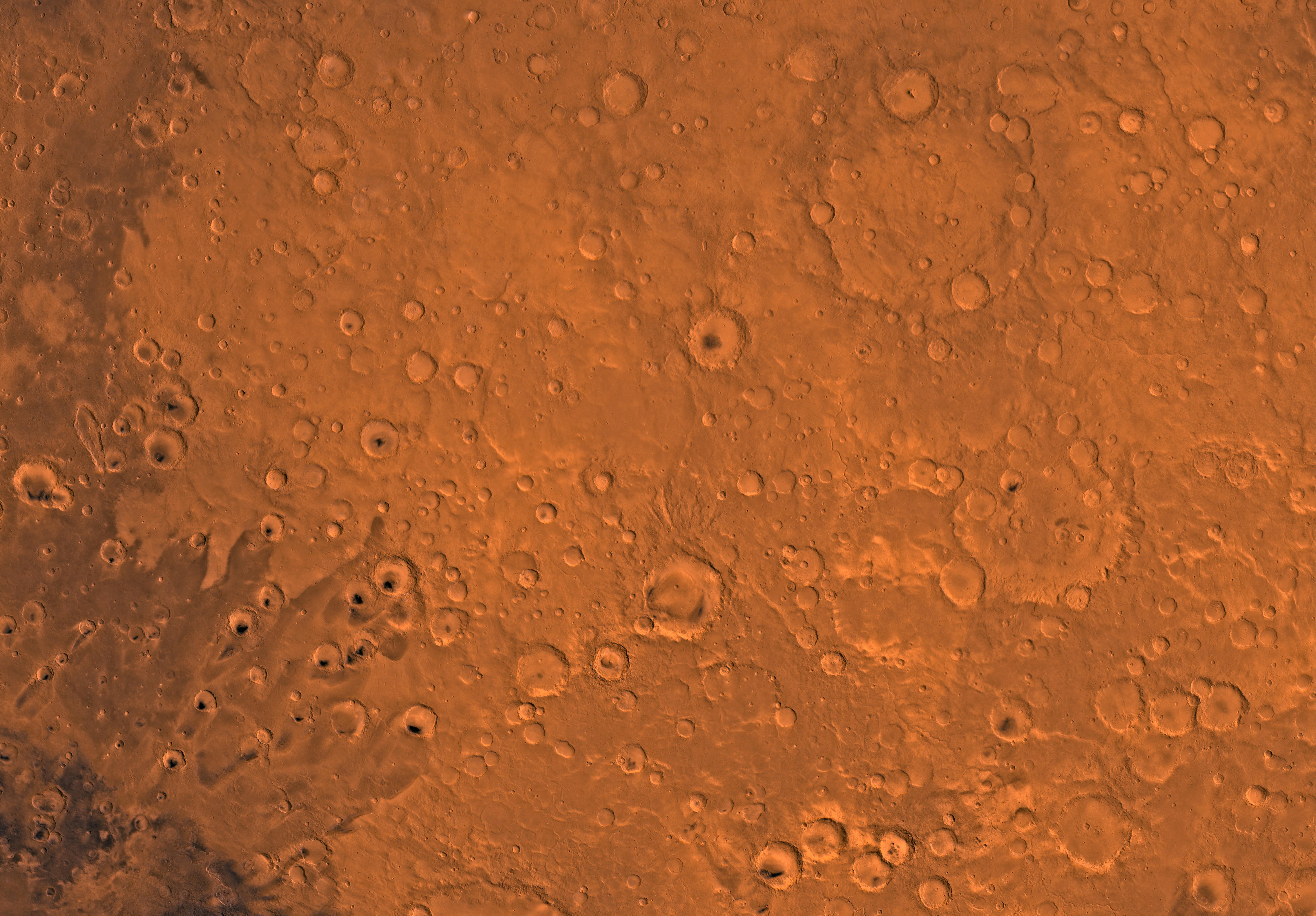
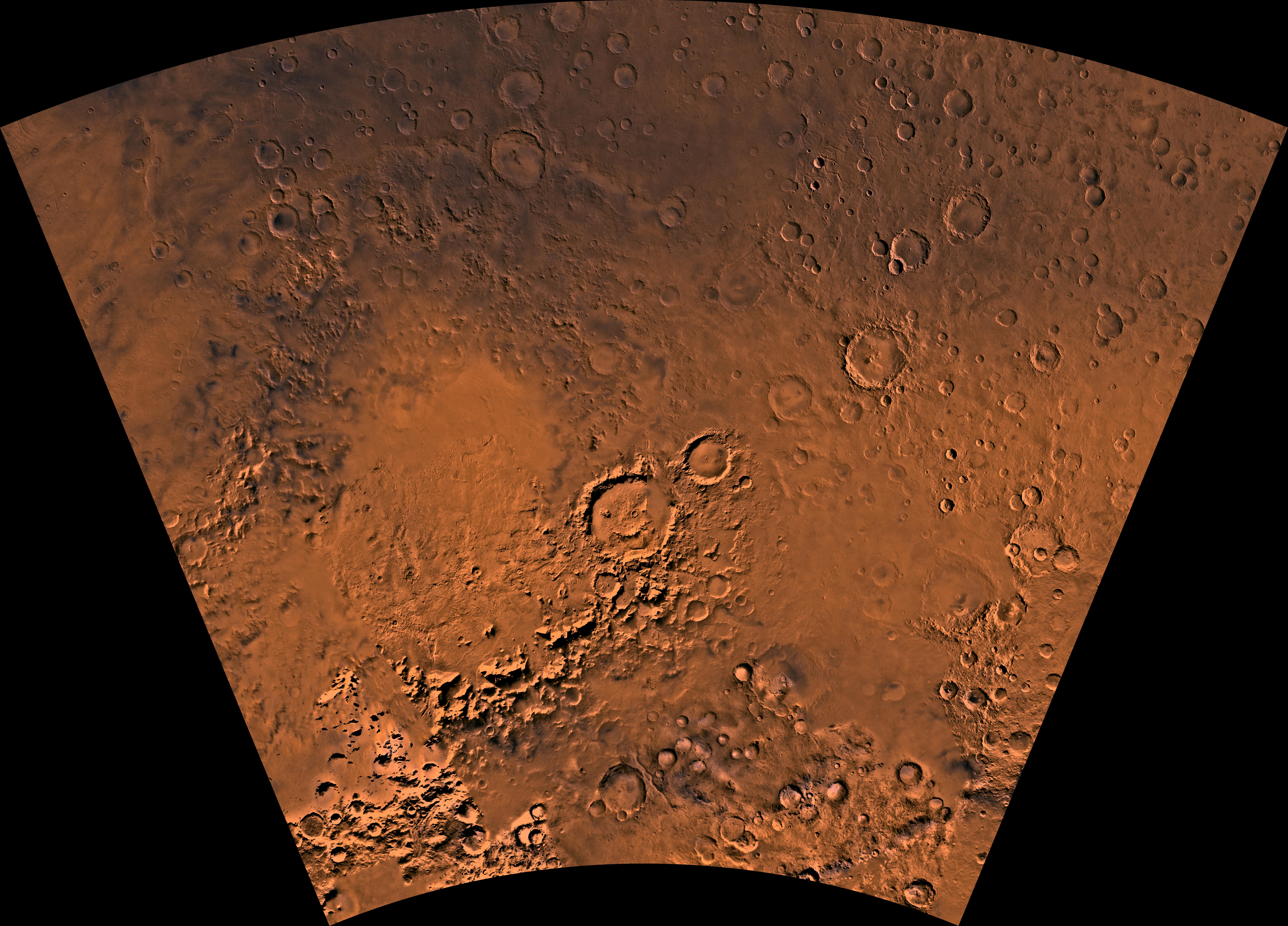
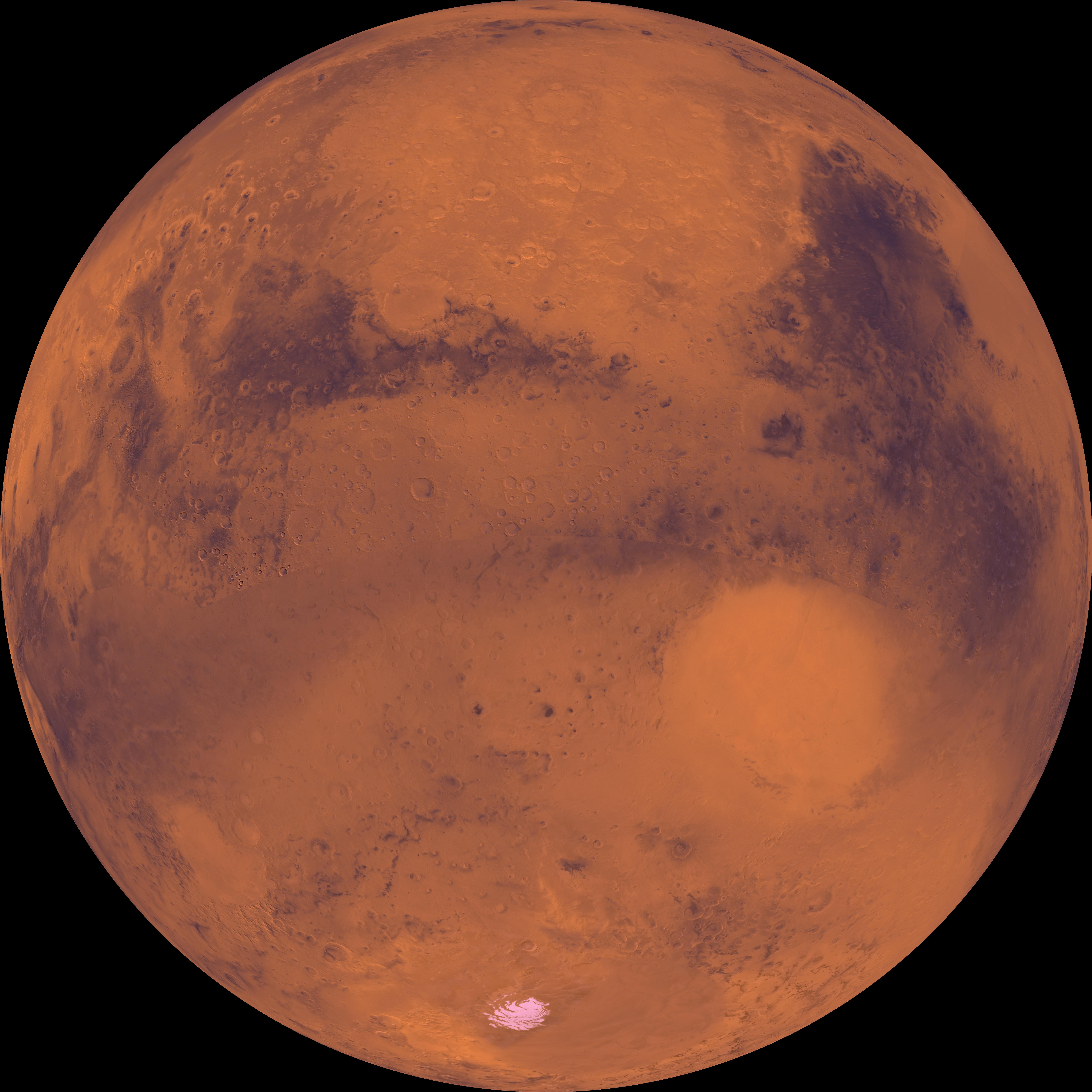
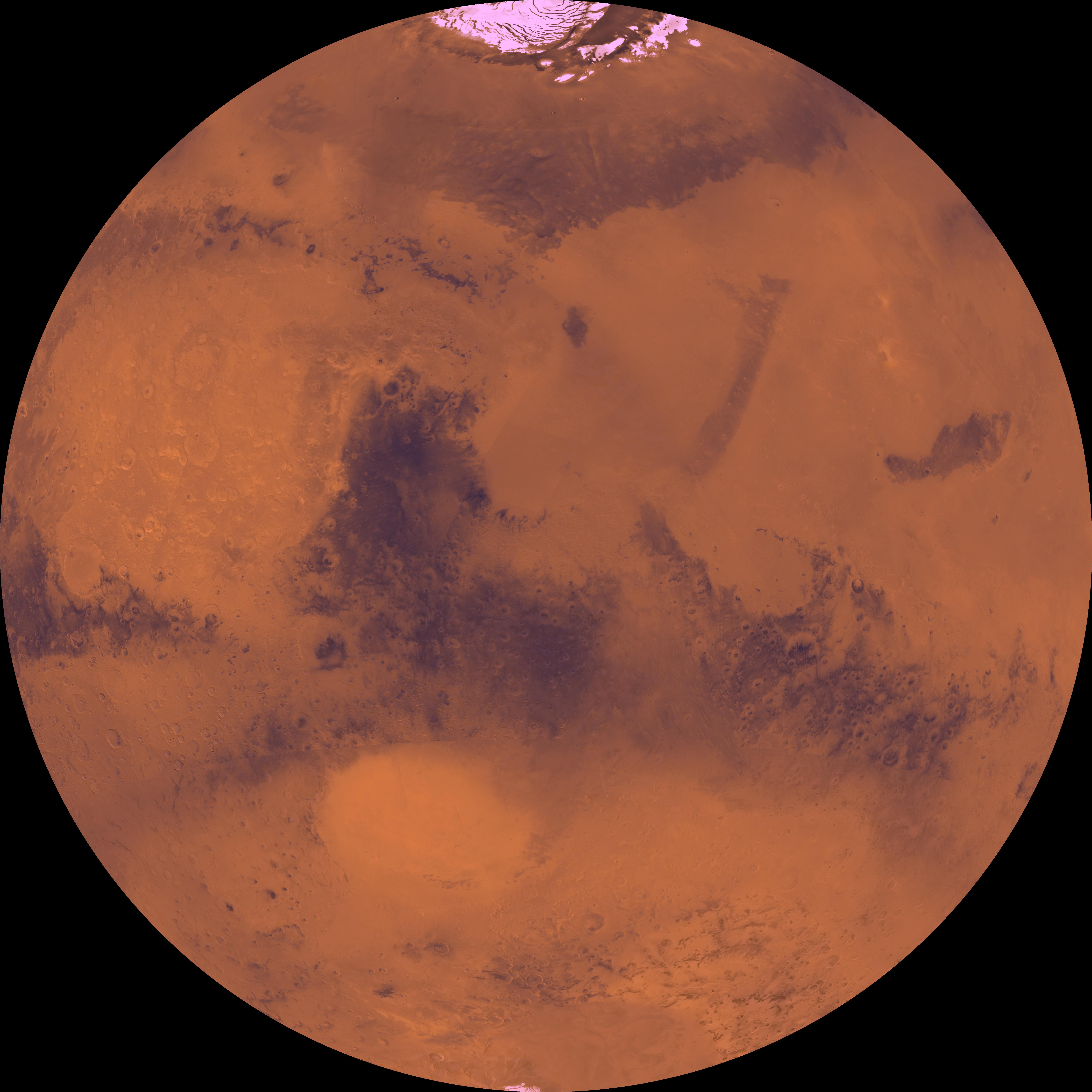
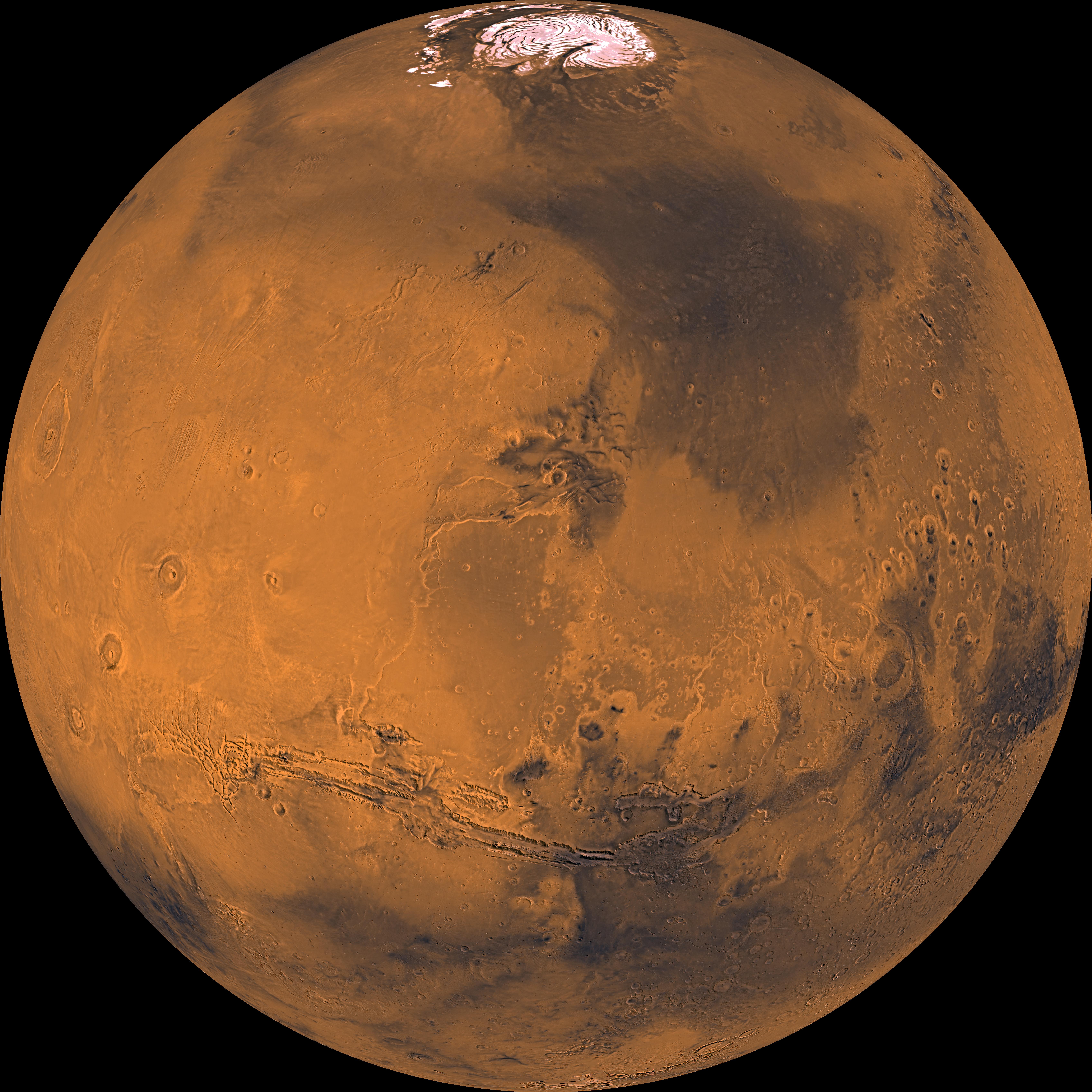
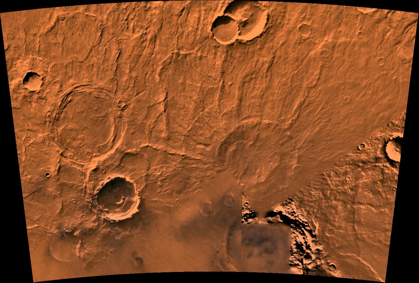
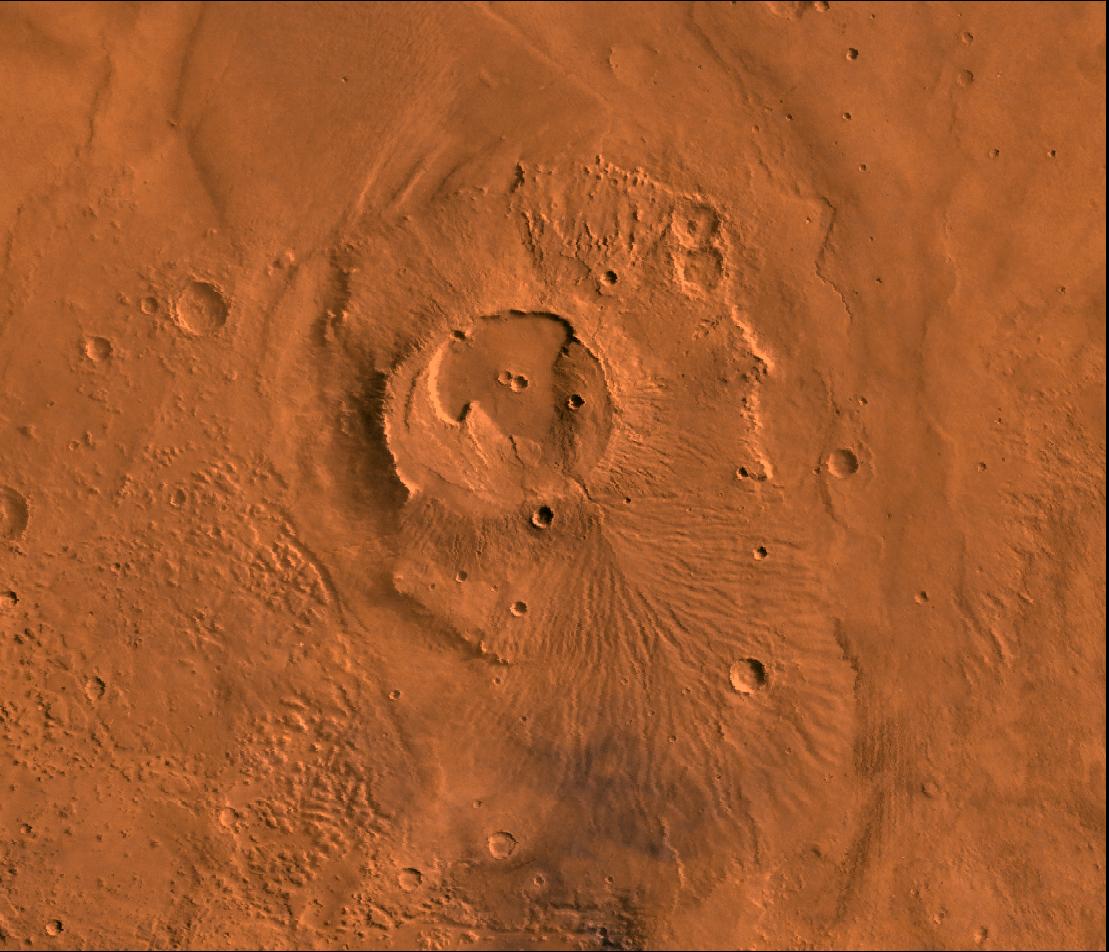
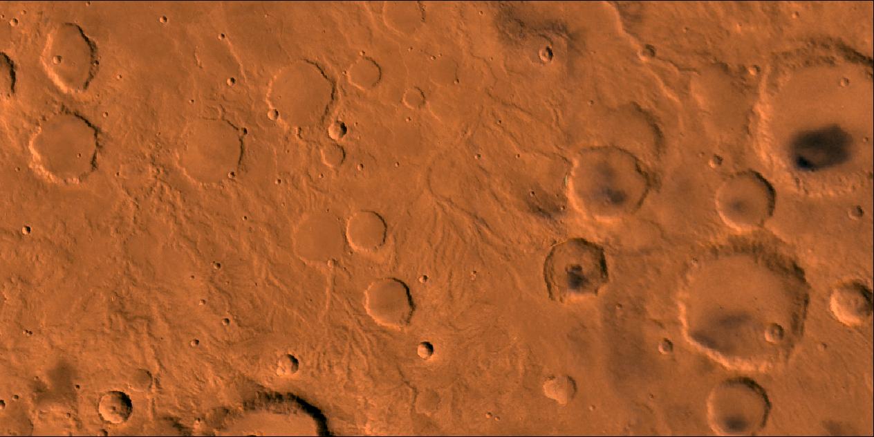
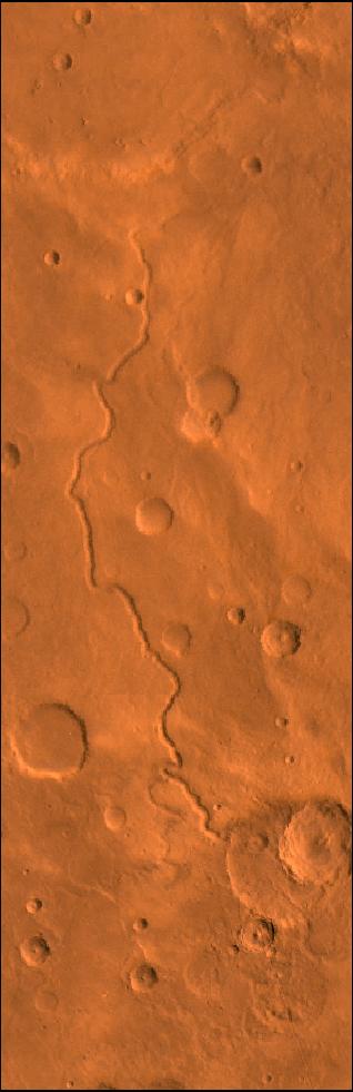
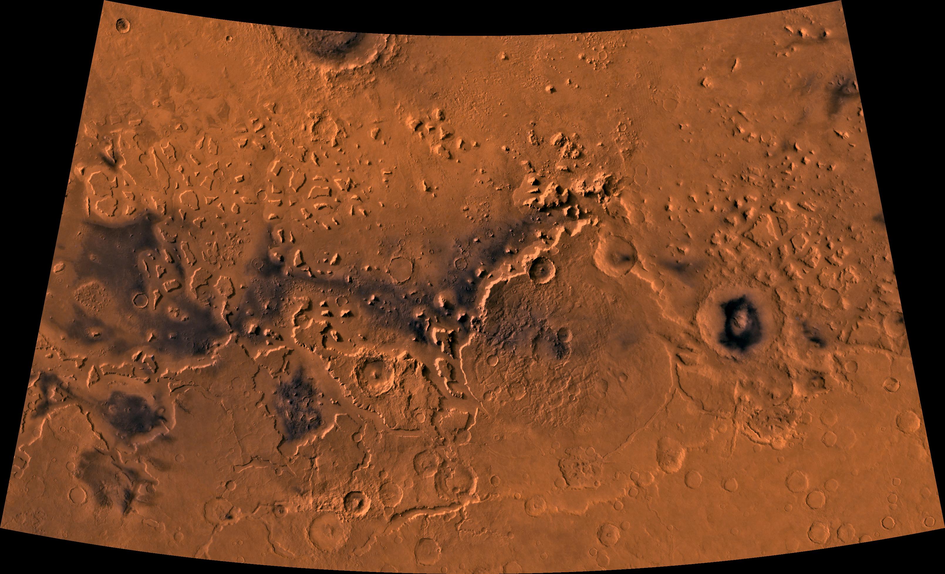
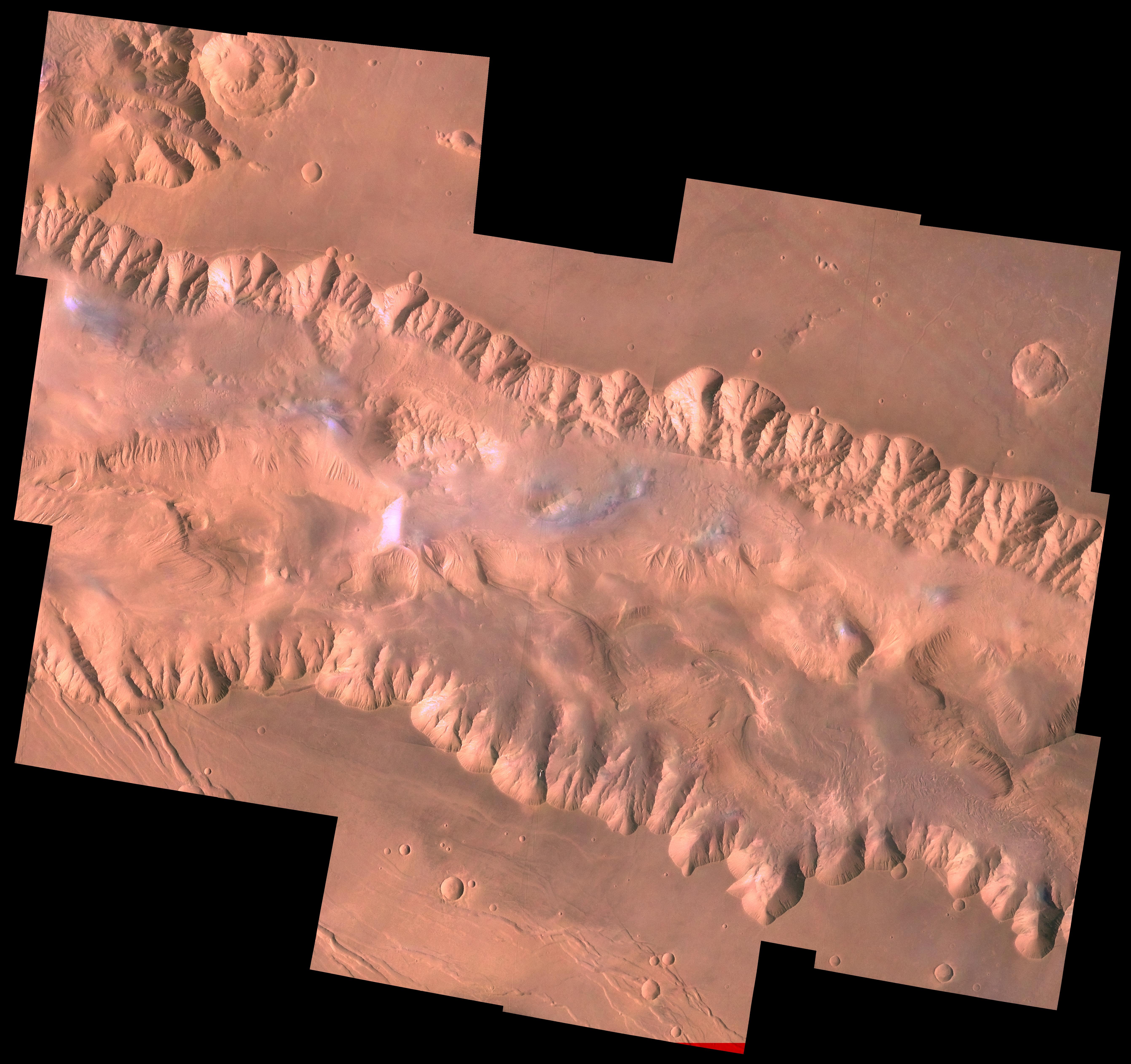
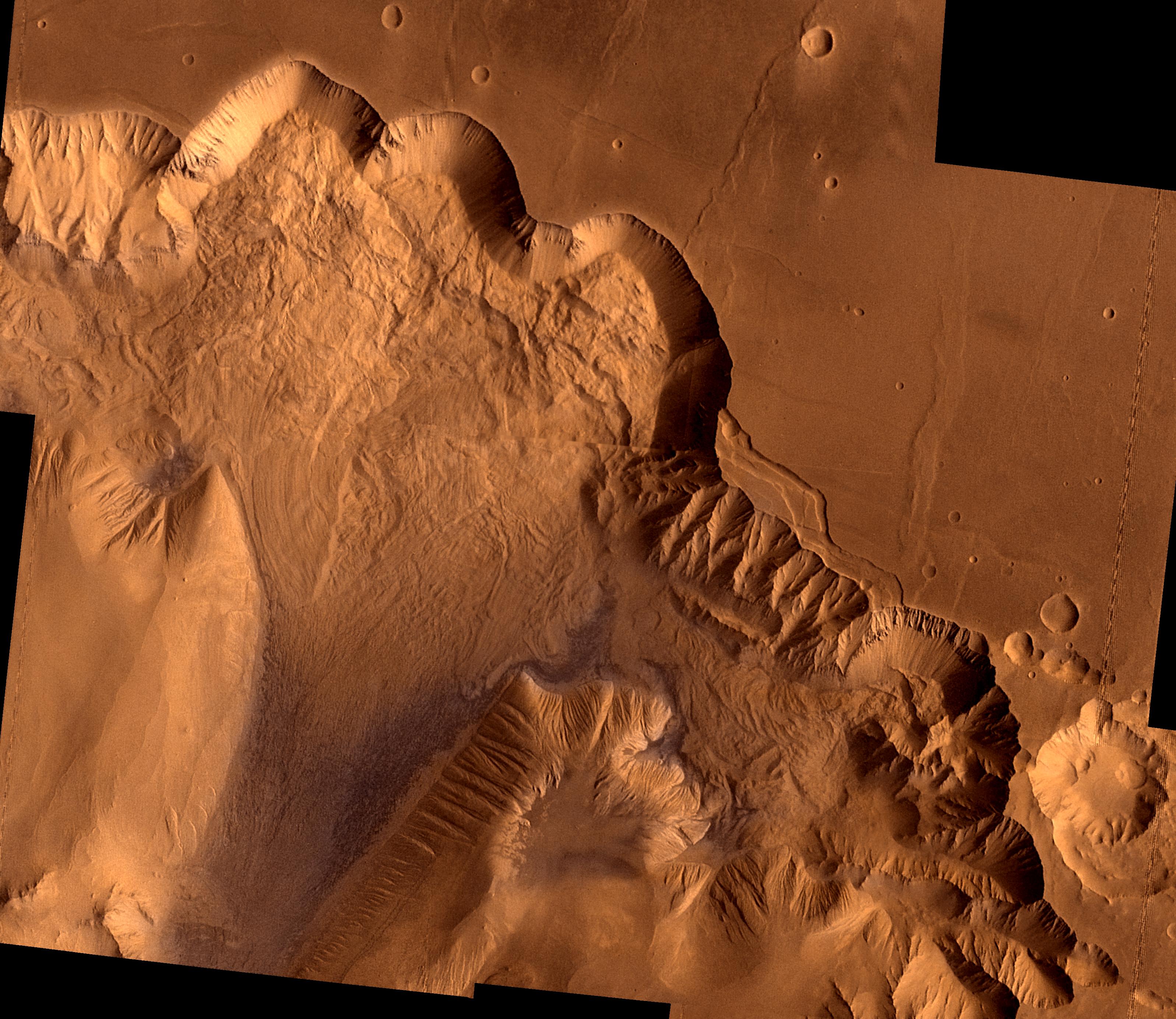
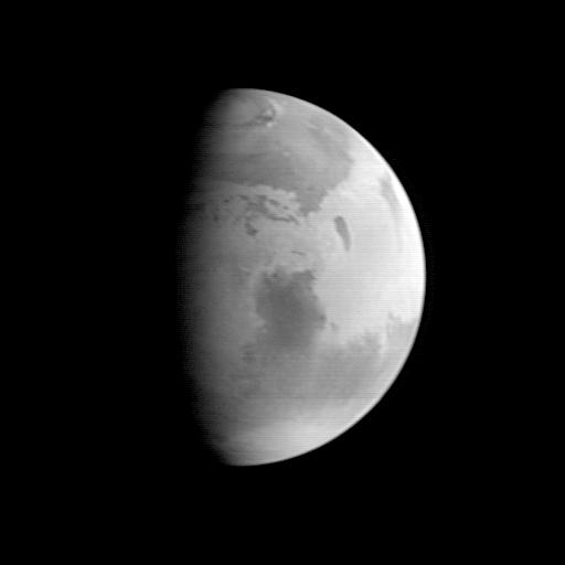
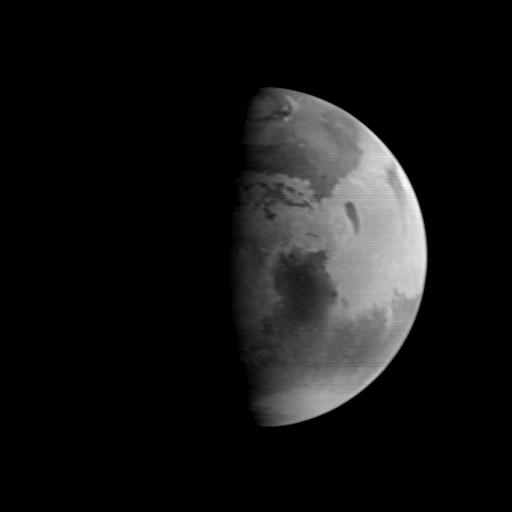
1996-06-03 | Mars |
Viking |
Visual Imaging Subsystem - Camera A |
6736x6359x3 |
|
|||||
|
|
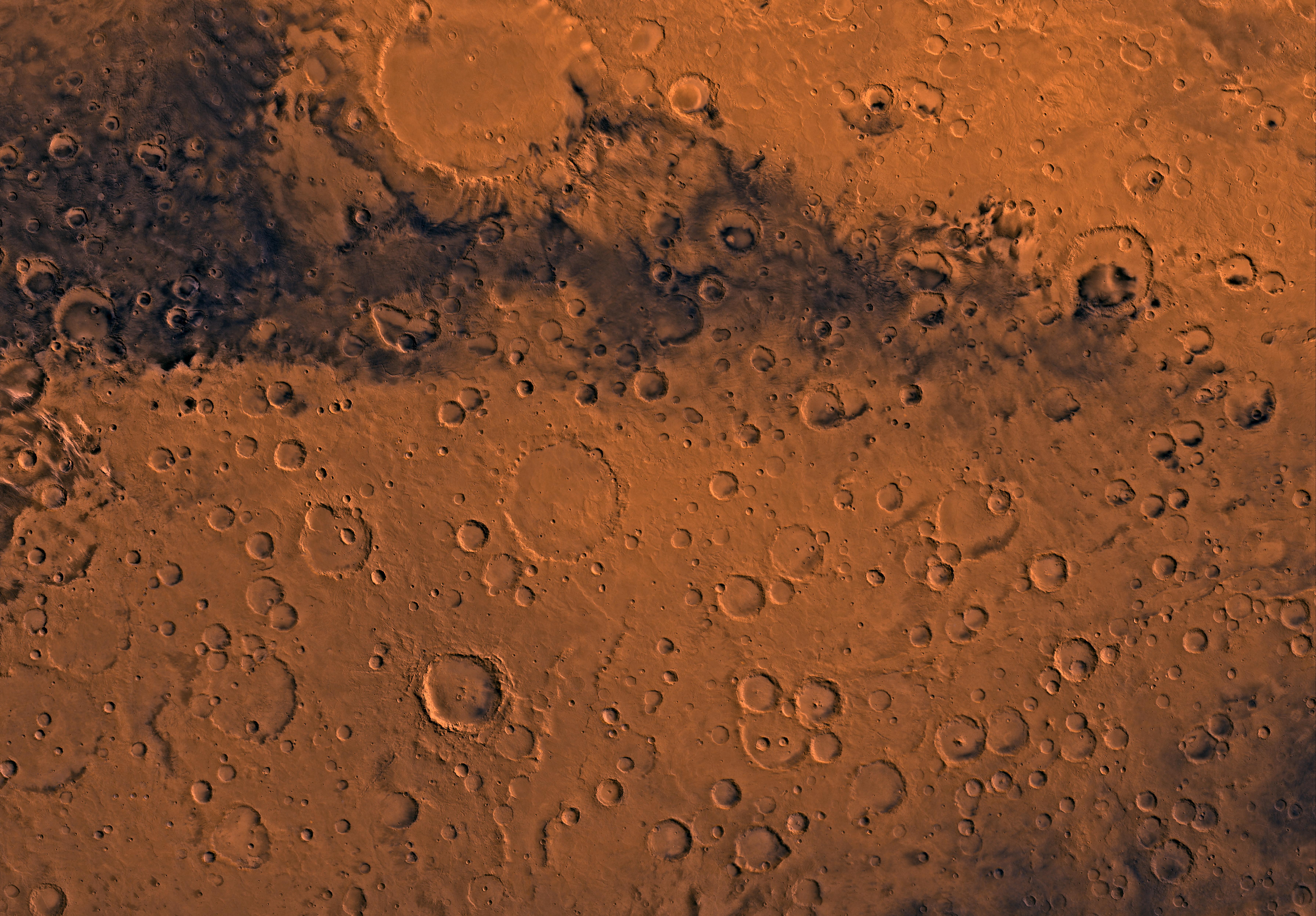
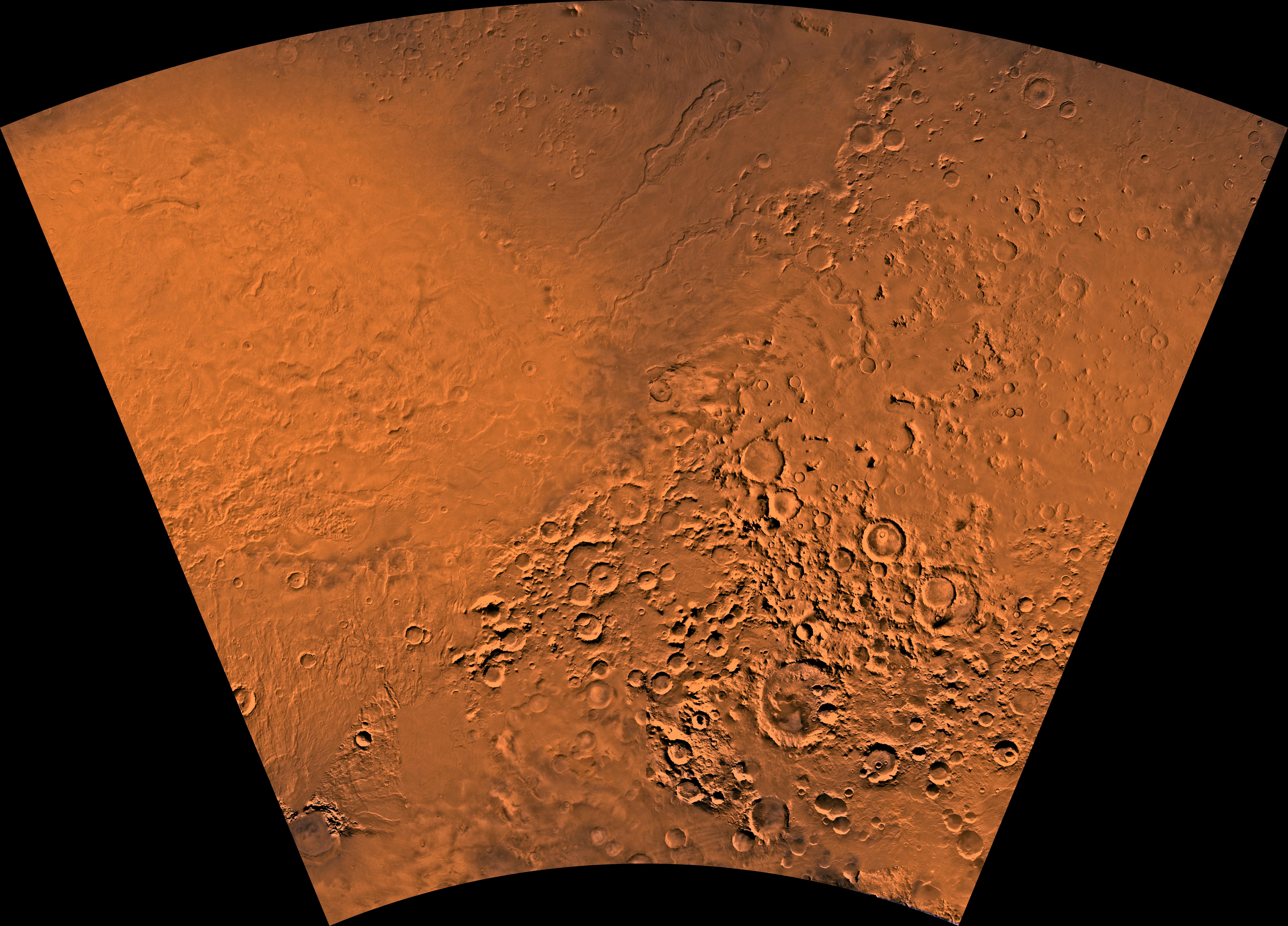
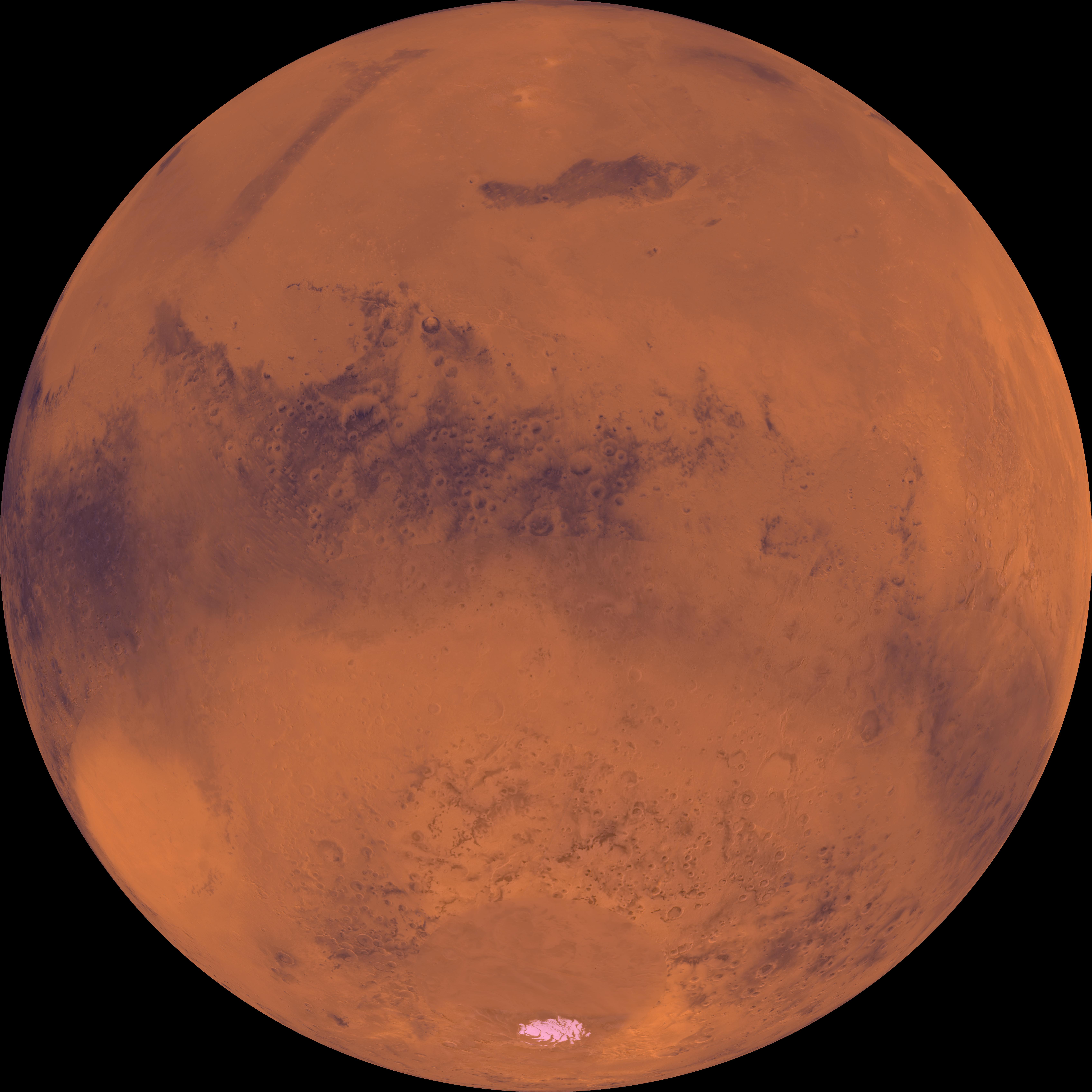
1996-06-03 | Mars |
Viking |
Visual Imaging Subsystem - Camera A |
6496x6618x3 |
|
|||||
|
|
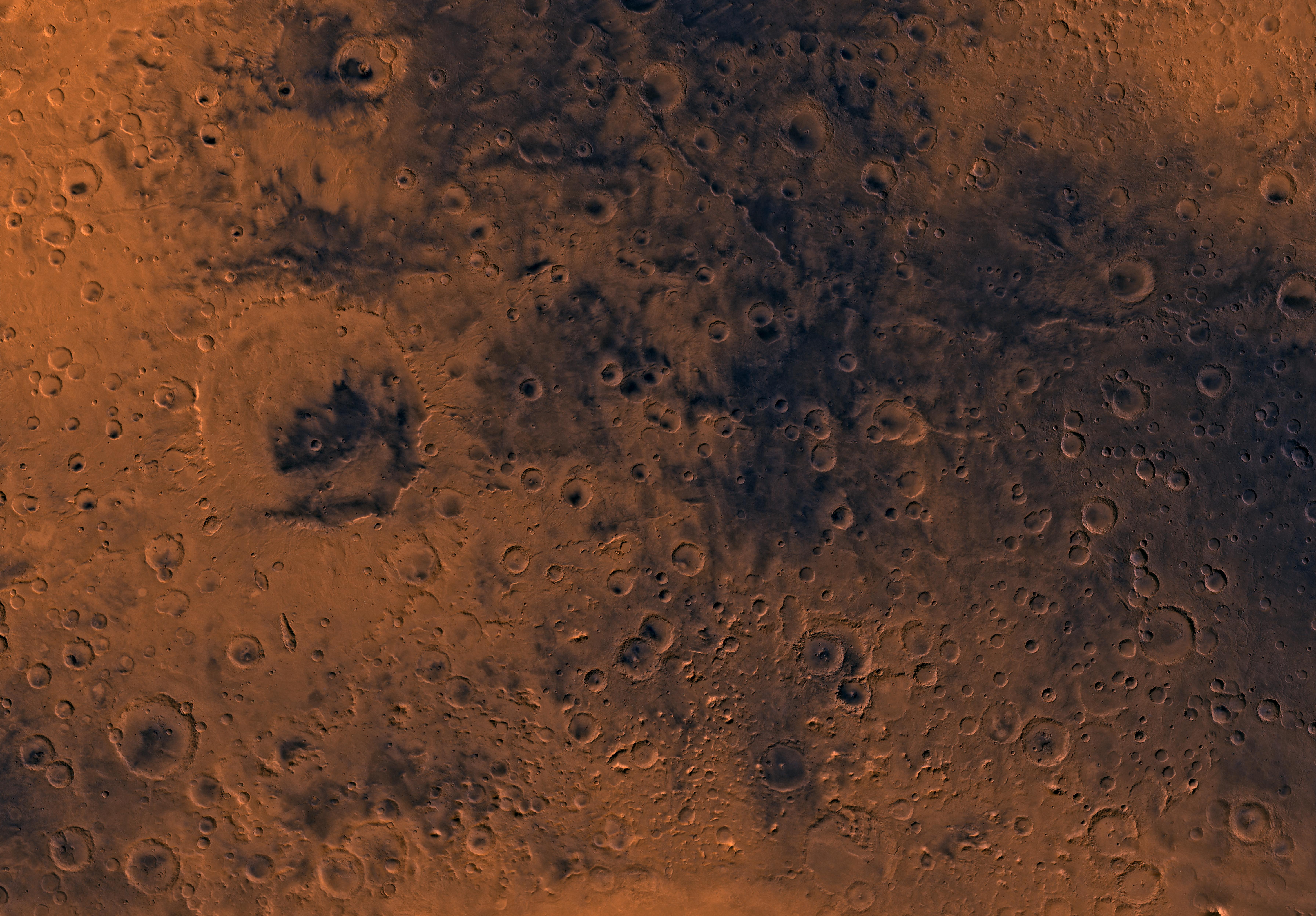
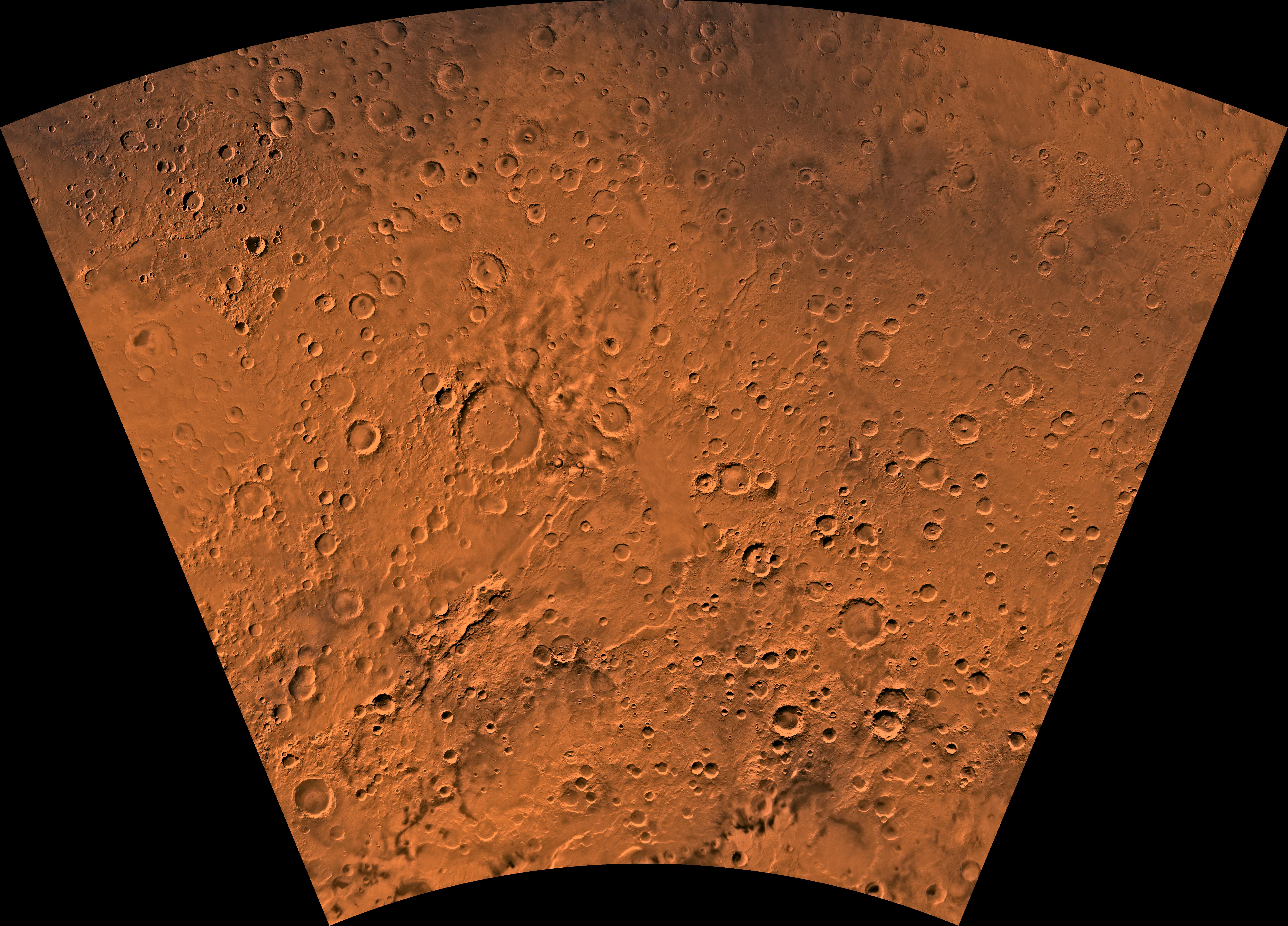
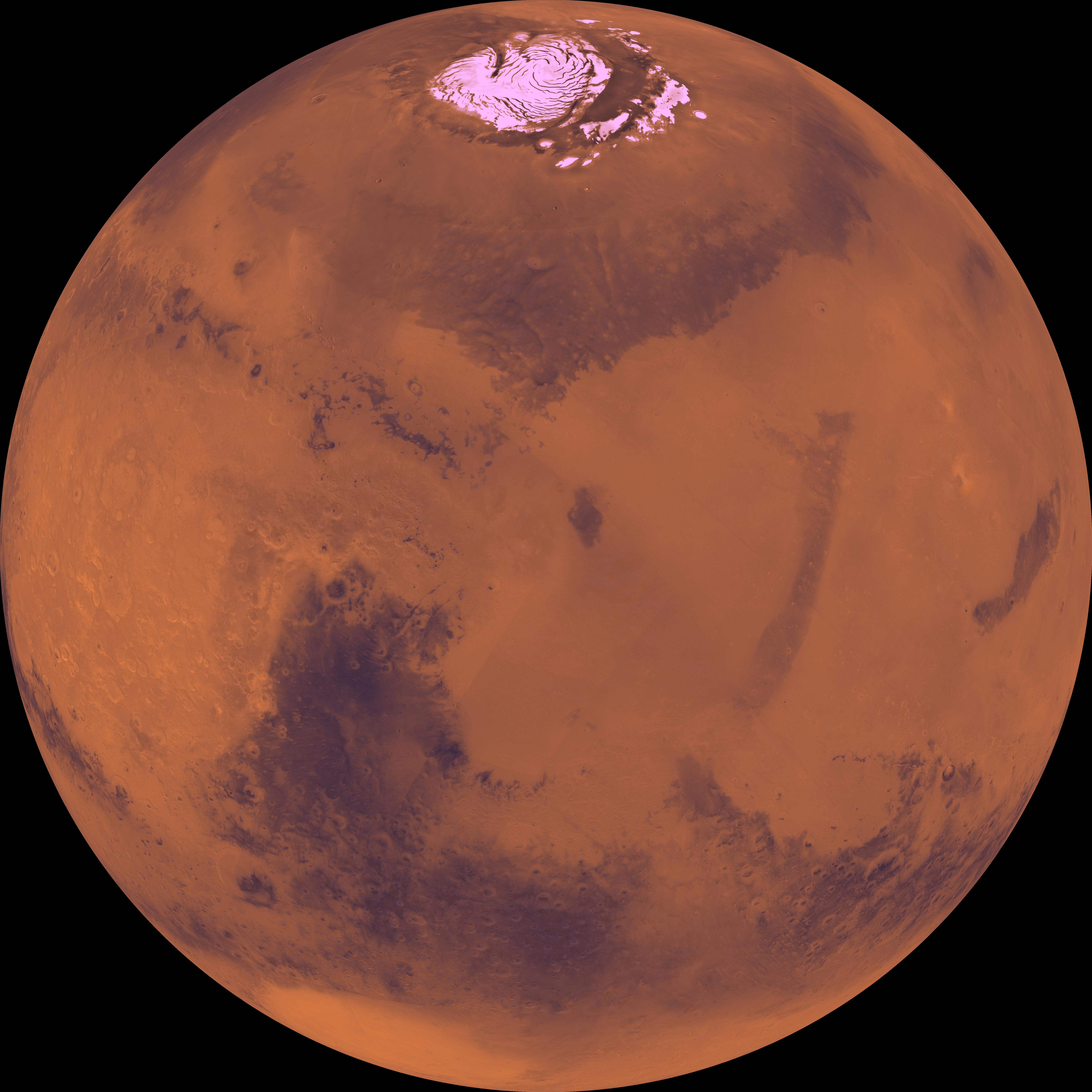
1998-06-03 | Mars |
Viking |
Visual Imaging Subsystem - Camera B |
6738x6502x3 |
|
|||||
|
|
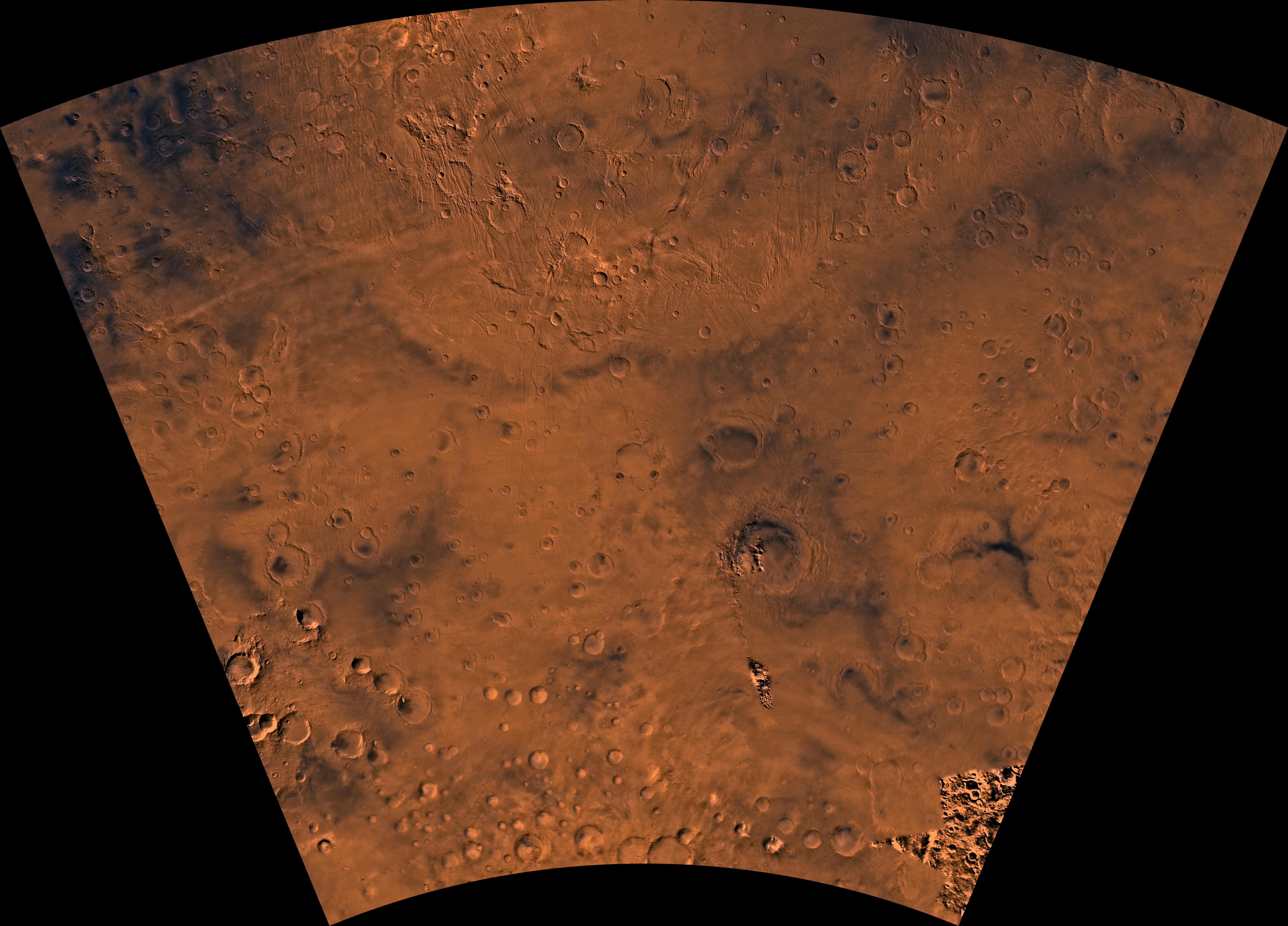
1998-06-04 | Mars |
Viking |
Visual Imaging Subsystem - Camera B |
1024x880x3 |
|
|||||
|
|
1998-06-05 | Mars |
Viking |
Visual Imaging Subsystem - Camera A |
7170x4991x3 |
|
|||||
|
|
1998-06-05 | Mars |
Viking |
Visual Imaging Subsystem - Camera A |
7170x4991x3 |

|
|||||
|
|
1998-06-05 | Mars |
Viking |
Visual Imaging Subsystem - Camera A |
7170x4991x3 |
|
|||||
|
|
1998-06-05 | Mars |
Viking |
Visual Imaging Subsystem - Camera A |
6994x5029x3 |
|
|||||
|
|
1998-06-05 | Mars |
Viking |
Visual Imaging Subsystem - Camera A |
6994x5029x3 |
|
|||||
|
|
1998-06-05 | Mars |
Viking |
Visual Imaging Subsystem - Camera A |
6994x5029x3 |
|
|||||
|
|
1998-06-05 | Mars |
Viking |
Visual Imaging Subsystem - Camera A |
6994x5029x3 |
|
|||||
|
|
1998-06-08 | Mars |
Viking |
Visual Imaging Subsystem - Camera A |
6787x6787x3 |
|
|||||
|
|
1998-06-08 | Mars |
Viking |
Visual Imaging Subsystem - Camera A |
6398x6398x3 |

|
|||||
|
|
1998-06-08 | Mars |
Viking |
Visual Imaging Subsystem - Camera A |
6787x6787x3 |
|
|||||
|
|
1998-06-08 | Mars |
Viking |
Visual Imaging Subsystem - Camera A |
6787x6787x3 |
|
|||||
|
|
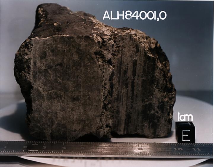
1996-08-08 | Mars |
Antarctic Meteorite Location and Mapping Project (AMLAMP) |
722x564x3 | |
|
|||||
|
|
1998-06-04 | Mars |
Viking |
Visual Imaging Subsystem - Camera B |
1024x880x3 |
|
|||||
|
|
1997-01-08 | Mars |
Viking |
Camera 2 |
1187x512x1 |
|
|||||
|
|
1996-12-30 | Mars |
Viking |
Camera 2 |
1203x1074x1 |

|
|||||
|
|
1996-12-30 | Mars |
Viking |
Camera 2 |
2497x512x1 |

|
|||||
|
|
1996-12-12 | Mars |
Viking |
Camera 2 |
515x512x1 |

|
|||||
|
|
1996-12-12 | Mars |
Viking |
Camera 1 |
490x512x1 |
|
|||||
|
|
1996-12-30 | Mars |
Viking |
Camera 1 |
2501x512x1 |

|
|||||
|
|
1997-01-08 | Mars |
Viking |
Camera 2 |
439x512x1 |
|
|||||
|
|
1998-06-08 | Mars |
Viking |
Visual Imaging Subsystem - Camera B |
6035x6580x3 |

|
|||||
|
|
1998-06-08 | Mars |
Viking |
6787x6787x3 | |
|
|||||
|
|
1998-06-08 | Mars |
Viking |
1438x973x3 | |
|
|||||
|
|
1998-06-08 | Mars |
Viking |
1109x952x3 | |
|
|||||
|
|
1998-06-08 | Mars |
Viking |
1264x632x3 | |
|
|||||
|
|
1998-06-08 | Mars |
Viking |
1265x2696x3 | |
|
|
|||||
|
|
1998-06-08 | Mars |
Viking |
8292x6485x3 | |

|
|||||
|
|
1998-06-08 | Mars |
Viking |
2962x2741x3 | |
|
|||||
|
|
1998-06-08 | Mars |
Viking |
6002x6388x3 | |
|
|||||
|
|
1998-06-08 | Mars |
Viking |
318x981x3 | |
|
|
|||||
|
|
1998-06-08 | Mars |
Viking |
3220x1956x3 | |
|
|||||
|
|
1998-06-08 | Mars |
Viking |
Visual Imaging Subsystem - Camera B |
5367x5053x3 |
|
|||||
|
|
1998-06-08 | Mars |
Viking |
3194x2769x3 | |
|
|||||
|
|
1998-06-08 | Mars |
Viking |
14000x6800x3 | |
|
|||||
|
|
1997-07-10 | Mars |
Mars Pathfinder (MPF) |
Imager for Mars Pathfinder |
1120x840x1 |

|
|||||
|
|
1997-07-22 | Mars |
Mars Pathfinder (MPF) |
Imager for Mars Pathfinder |
871x622x3 |
|
|||||
|
|
1997-08-15 | Mars |
Mars Pathfinder (MPF) |
Atmospheric Structure / Meteorology Instrument |
684x504x1 |

|
|||||
|
|
1997-08-22 | Mars |
Mars Global Surveyor (MGS) |
Mars Orbiter Camera (MOC) |
512x512x1 |

|
|||||
|
|
1997-09-10 | Mars |
Mars Global Surveyor (MGS) |
Mars Orbiter Camera (MOC) |
512x512x1 |
|
|||||
|
|
1997-09-10 | Mars |
Mars Global Surveyor (MGS) |
Mars Orbiter Camera (MOC) |
512x512x1 |
|
|||||
|
|
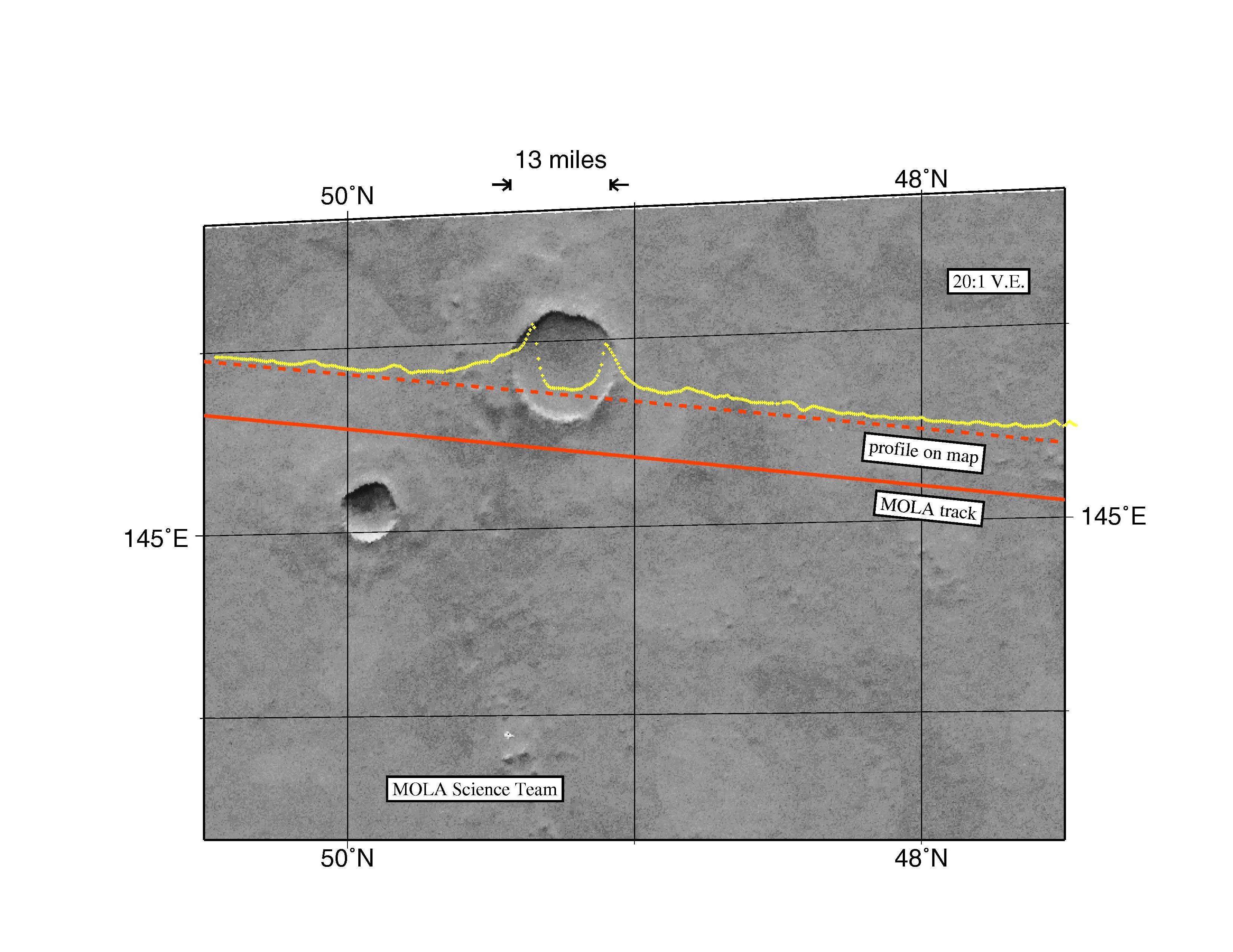
1997-10-13 | Mars |
Mars Global Surveyor (MGS) |
MOLA |
3300x2550x3 |
|
|||||

|
 |
|
|
|
|
|
 |
 |
|
|

|
| 1-100 | 101-200 | 201-300 | 301-400 | 401-500 | 501-600 | 601-700 | 701-800 | 801-900 | 901-1000 |
| Currently displaying images: 601 - 700 of 3151 |