|
Your search criteria found 561 images Feature Name |
| My List |
Addition Date | Target | Mission |
Instrument
|
Size |

|
2004-06-17 | Earth |
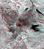
Landsat Shuttle Radar Topography Mission (SRTM) |
C-Band Interferometric Radar X-Band Radar |
4463x3000x3 |
|
|||||
|
|
2004-06-17 | Earth |
Landsat Shuttle Radar Topography Mission (SRTM) |
C-Band Interferometric Radar X-Band Radar |
5657x3645x3 |
|
|||||
|
|
2004-06-17 | Earth |
Shuttle Radar Topography Mission (SRTM) |
C-Band Interferometric Radar X-Band Radar |
9600x10500x3 |

|
|||||
|
|
2000-02-16 | Earth |
Landsat Shuttle Radar Topography Mission (SRTM) |
C-Band Interferometric Radar Thematic Mapper |
1412x1588x3 |
|
|||||
|
|
2000-02-20 | Earth |
Landsat Shuttle Radar Topography Mission (SRTM) |
C-Band Interferometric Radar Thematic Mapper |
940x658x3 |
|
|||||
|
|
2000-03-10 | Earth |
Landsat Shuttle Radar Topography Mission (SRTM) |
C-Band Interferometric Radar Thematic Mapper |
1218x1366x3 |
|
|||||
|
|
2000-04-13 | Earth |
Landsat Shuttle Radar Topography Mission (SRTM) |
C-Band Interferometric Radar Thematic Mapper |
839x651x3 |
|
|||||
|
|
2000-05-11 | Earth |
Landsat Shuttle Radar Topography Mission (SRTM) |
C-Band Interferometric Radar Thematic Mapper |
2158x1540x3 |
|
|||||
|
|
2000-06-22 | Earth |
Landsat Shuttle Radar Topography Mission (SRTM) |
C-Band Interferometric Radar Thematic Mapper |
2920x4236x3 |
|
|||||
|
|
2000-06-29 | Earth |
Landsat Shuttle Radar Topography Mission (SRTM) |
C-Band Interferometric Radar Thematic Mapper |
506x798x3 |

|
|||||
|
|
2000-07-13 | Earth |
Landsat Shuttle Radar Topography Mission (SRTM) |
C-Band Interferometric Radar Thematic Mapper |
1631x956x3 |
|
|||||
|
|
2000-07-20 | Earth |
Landsat Shuttle Radar Topography Mission (SRTM) |
C-Band Interferometric Radar Thematic Mapper |
718x907x3 |
|
|||||
|
|
2000-07-27 | Earth |
Landsat Shuttle Radar Topography Mission (SRTM) |
C-Band Interferometric Radar Thematic Mapper |
999x1335x3 |
|
|||||
|
|
2000-08-31 | Earth |
Landsat Shuttle Radar Topography Mission (SRTM) |
C-Band Interferometric Radar Thematic Mapper |
499x801x3 |

|
|||||
|
|
2000-09-21 | Earth |
Landsat Shuttle Radar Topography Mission (SRTM) |
C-Band Interferometric Radar Thematic Mapper |
1786x2356x3 |
|
|||||
|
|
2000-10-20 | Earth |
Landsat Shuttle Radar Topography Mission (SRTM) |
C-Band Interferometric Radar Thematic Mapper |
1212x1518x3 |
|
|||||
|
|
2001-04-05 | Earth |
Landsat Shuttle Radar Topography Mission (SRTM) |
C-Band Interferometric Radar Thematic Mapper |
451x691x3 |

|
|||||
|
|
2001-05-02 | Earth |
Landsat Shuttle Radar Topography Mission (SRTM) |
C-Band Interferometric Radar Thematic Mapper |
477x745x3 |

|
|||||
|
|
2001-05-24 | Earth |
Landsat Shuttle Radar Topography Mission (SRTM) |
C-Band Interferometric Radar Thematic Mapper |
941x1304x3 |
|
|||||
|
|
2001-05-31 | Earth |
Landsat Shuttle Radar Topography Mission (SRTM) |
C-Band Interferometric Radar Thematic Mapper |
398x710x3 |
|
|||||
|
|
2002-02-01 | Earth |
Landsat Shuttle Radar Topography Mission (SRTM) |
C-Band Interferometric Radar Thematic Mapper |
1384x2022x3 |
|
|||||
|
|
2002-02-06 | Earth |
Landsat Shuttle Radar Topography Mission (SRTM) |
C-Band Interferometric Radar Thematic Mapper |
925x2385x3 |
|
|
|||||
|
|
2002-02-28 | Earth |
Landsat Shuttle Radar Topography Mission (SRTM) |
C-Band Interferometric Radar Thematic Mapper |
1958x799x3 |
|
|||||
|
|
2002-09-12 | Earth |
Landsat Shuttle Radar Topography Mission (SRTM) |
C-Band Interferometric Radar Thematic Mapper |
339x620x3 |

|
|||||
|
|
2002-09-19 | Earth |
Landsat Shuttle Radar Topography Mission (SRTM) |
C-Band Interferometric Radar Thematic Mapper |
1009x1600x3 |

|
|||||
|
|
2003-05-01 | Earth |
Landsat Shuttle Radar Topography Mission (SRTM) |
C-Band Interferometric Radar Thematic Mapper |
3262x3162x3 |
|
|||||
|
|
2000-02-18 | Earth |
Shuttle Radar Topography Mission (SRTM) |
C-Band Interferometric Radar |
737x797x3 |

|
|||||
|
|
2000-02-21 | Earth |
Shuttle Radar Topography Mission (SRTM) |
C-Band Interferometric Radar |
1929x1800x3 |
|
|||||
|
|
2000-06-01 | Earth |
Shuttle Radar Topography Mission (SRTM) |
C-Band Interferometric Radar |
669x1427x3 |
|
|
|||||
|
|
2000-11-02 | Earth |
Shuttle Radar Topography Mission (SRTM) |
C-Band Interferometric Radar |
1703x1181x3 |
|
|||||
|
|
2001-06-14 | Earth |
Shuttle Radar Topography Mission (SRTM) |
C-Band Interferometric Radar |
1935x1240x3 |
|
|||||
|
|
2001-07-05 | Earth |
Shuttle Radar Topography Mission (SRTM) |
C-Band Interferometric Radar |
1600x1763x3 |
|
|||||
|
|
2001-07-26 | Earth |
Shuttle Radar Topography Mission (SRTM) |
C-Band Interferometric Radar |
2020x1350x3 |
|
|||||
|
|
2001-08-03 | Earth |
Shuttle Radar Topography Mission (SRTM) |
C-Band Interferometric Radar |
2501x1201x3 |
|
|||||
|
|
2001-08-16 | Earth |
Shuttle Radar Topography Mission (SRTM) |
C-Band Interferometric Radar |
1090x1480x3 |
|
|||||
|
|
2001-08-24 | Earth |
Shuttle Radar Topography Mission (SRTM) |
C-Band Interferometric Radar |
1630x1200x3 |
|
|||||
|
|
2001-09-01 | Earth |
Shuttle Radar Topography Mission (SRTM) |
C-Band Interferometric Radar |
1910x1215x3 |
|
|||||
|
|
2002-09-26 | Earth |
Shuttle Radar Topography Mission (SRTM) |
C-Band Interferometric Radar |
1200x1200x3 |
|
|||||
|
|
2003-03-06 | Earth |
Shuttle Radar Topography Mission (SRTM) |
C-Band Interferometric Radar |
9600x7240x3 |

|
|||||
|
|
2003-03-06 | Earth |
Shuttle Radar Topography Mission (SRTM) |
C-Band Interferometric Radar |
1600x1080x3 |
|
|||||
|
|
2003-03-13 | Earth |
Shuttle Radar Topography Mission (SRTM) |
C-Band Interferometric Radar |
1587x1536x3 |
|
|||||
|
|
2003-03-27 | Earth |
Shuttle Radar Topography Mission (SRTM) |
C-Band Interferometric Radar |
1573x2401x3 |
|
|||||
|
|
2003-06-19 | Earth |
Shuttle Radar Topography Mission (SRTM) |
C-Band Interferometric Radar |
7200x10886x3 |

|
|||||
|
|
2003-07-03 | Earth |
Landsat Shuttle Radar Topography Mission (SRTM) |
C-Band Interferometric Radar |
2805x1705x3 |
|
|||||
|
|
2005-10-12 | Earth |
Terra |
ASTER |
2496x1523x3 |

|
|||||
|
|
2001-10-22 | Earth |
Terra |
ASTER |
1200x1354x3 |
|
|||||
|
|
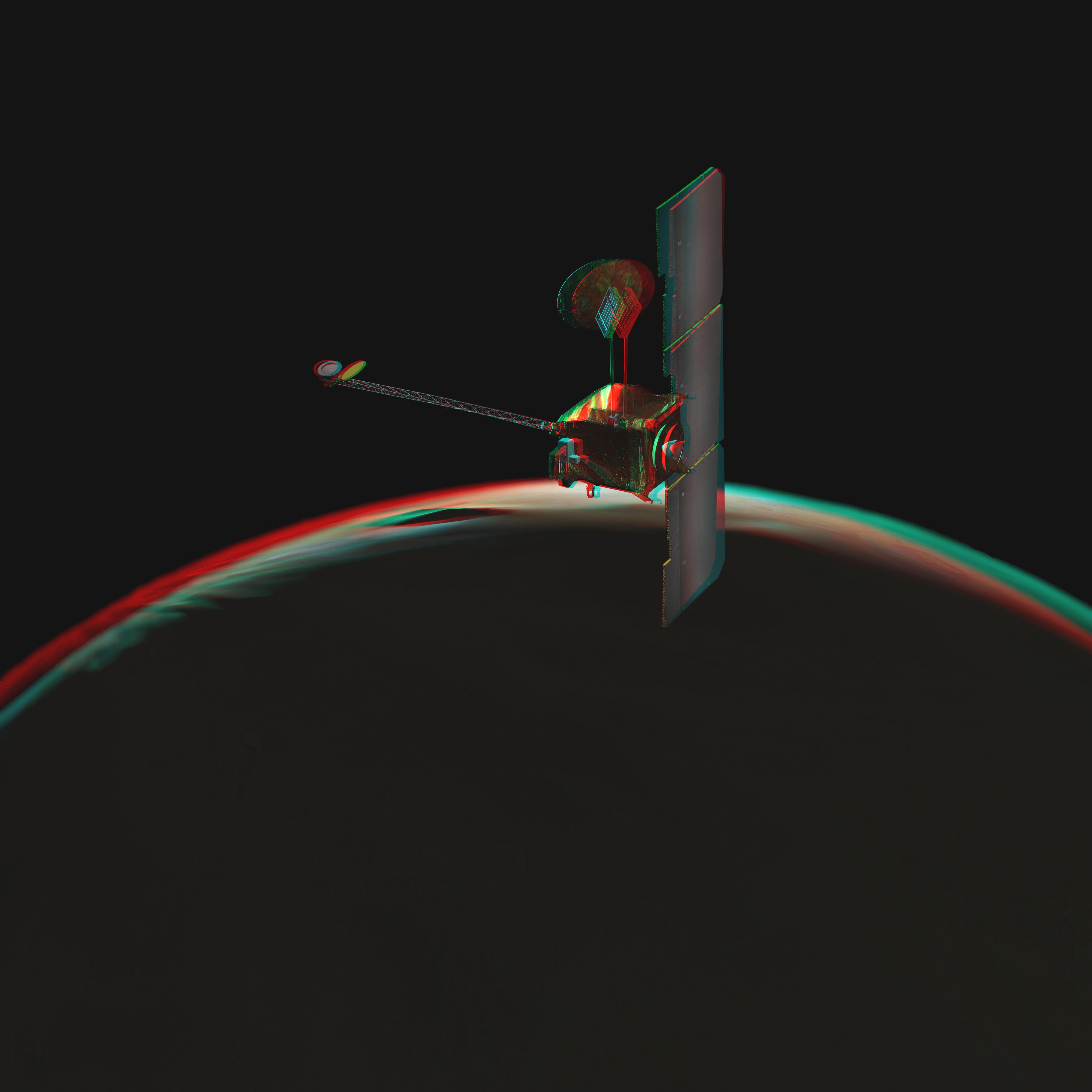
2003-10-22 | Mars |
Mars Express (MEX) |
6200x5500x3 | |

|
|||||
|
|
2003-10-28 | Mars |
2001 Mars Odyssey |
6000x5000x3 | |
|
|||||
|
|
2003-10-28 | Mars |
2001 Mars Odyssey |
4000x4000x3 | |

|
|||||
|
|
2007-05-10 |
Phoenix |
8000x5000x3 | ||

|
|||||
|
|
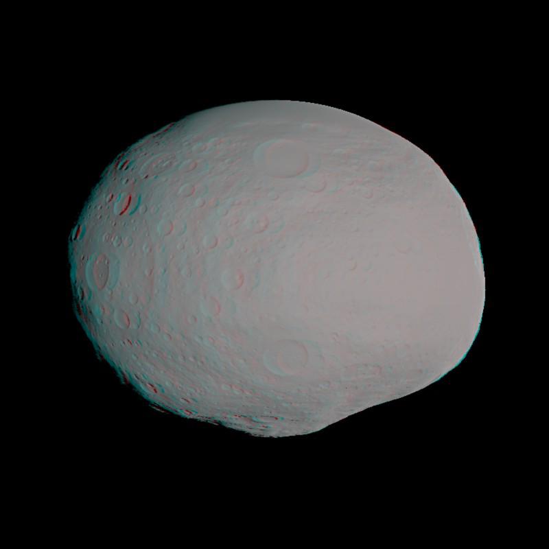
2011-03-10 | Vesta |
Dawn |
800x800x3 | |

|
|||||
|
|
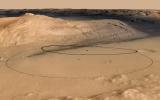
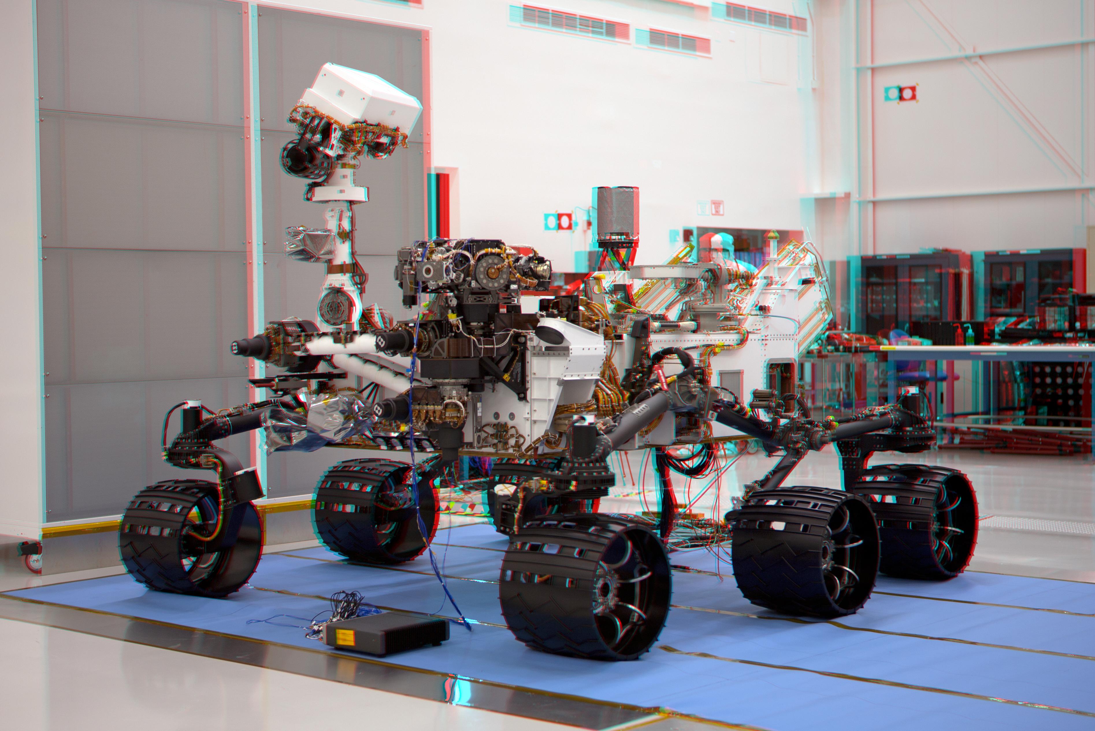
2011-07-22 |
Mars Science Laboratory (MSL) |
3790x2532x3 | ||

|
|||||
|
|
2011-12-09 |
Mars Science Laboratory (MSL) |
4308x2828x3 | ||
|
|||||
|
|
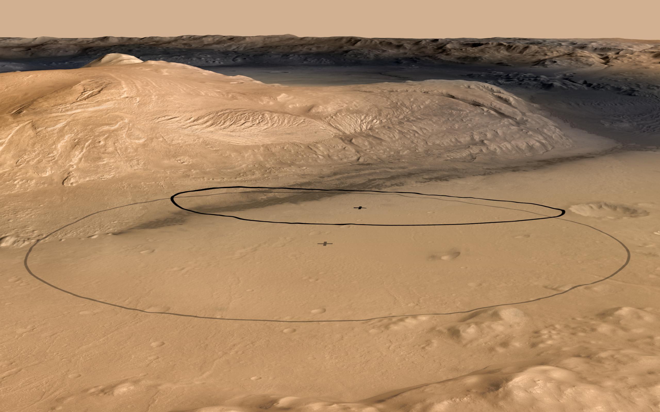
2012-06-11 | Mars |
Mars Science Laboratory (MSL) |
2560x1600x3 | |
|
|||||
|
|
2012-06-11 | Mars |
Mars Science Laboratory (MSL) |
2560x1600x3 | |

|
|||||
|
|
2012-08-07 | Mars |
Mars Science Laboratory (MSL) |
1024x925x3 | |

|
|||||
|
|
2012-08-07 | Mars |
Mars Science Laboratory (MSL) |
1024x847x3 | |

|
|||||
|
|
2012-08-07 | Mars |
Mars Science Laboratory (MSL) |
1024x1024x3 | |

|
|||||
|
|
2012-09-04 | Mars |
Mars Science Laboratory (MSL) |
7824x3337x3 | |
|
|||||
|
|
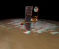
2021-08-04 | Mars |
Mars Helicopter |
3808x3120x3 | |
|
|||||
|
|
2021-09-17 | Mars |
Mars Helicopter |
1552x1153x3 | |
|
|||||

|
 |
|
|
|
|
 |
|
| 1-100 | 101-200 | 201-300 | 301-400 | 401-500 | 501-600 |
| Currently displaying images: 501 - 561 of 561 |