|
Your search criteria found 19636 images Target is Sun |
| My List |
Addition Date | Target | Mission |
Instrument
|
Size |

|
2008-12-15 | Mars |
Phoenix |
960x720x3 | |
|
|||||
|
|
2008-12-15 | Mars |
Phoenix |
3456x3000x3 | |
|
|||||
|
|
2008-12-15 | Mars |
Phoenix |
960x720x3 | |
|
|||||
|
|
2009-01-05 | Mars |
Mars Exploration Rover (MER) |
2442x3246x3 | |
|
|||||
|
|
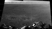
2009-01-05 | Mars |
Mars Exploration Rover (MER) |
2442x3246x3 | |
|
|||||
|
|
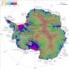
2010-02-03 | Earth |
IRTF |
1199x600x3 | |

|
|||||
|
|
2009-09-24 | Mars |
Mars Reconnaissance Orbiter (MRO) |
1375x810x3 | |
|
|||||
|
|
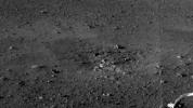
2009-11-12 | Mars |
Mars Exploration Rover (MER) |
1068x865x3 | |
|
|||||
|
|
2010-04-01 | Mars |
2001 Mars Odyssey |
1328x2775x1 | |
|
|
|||||
|
|
2010-10-26 | Tempel 1 |
EPOXI |
631x360x3 | |

|
|||||
|
|
2010-10-26 | Hartley 2 |
EPOXI |
600x338x3 | |

|
|||||
|
|
2010-11-03 | Hartley 2 |
EPOXI |
512x512x1 | |
|
|||||
|
|
2010-11-04 | Hartley 2 |
EPOXI |
2999x2249x1 | |

|
|||||
|
|
2011-02-10 | Tempel 1 |
StardustNExT |
2400x3000x3 | |
|
|||||
|
|
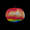
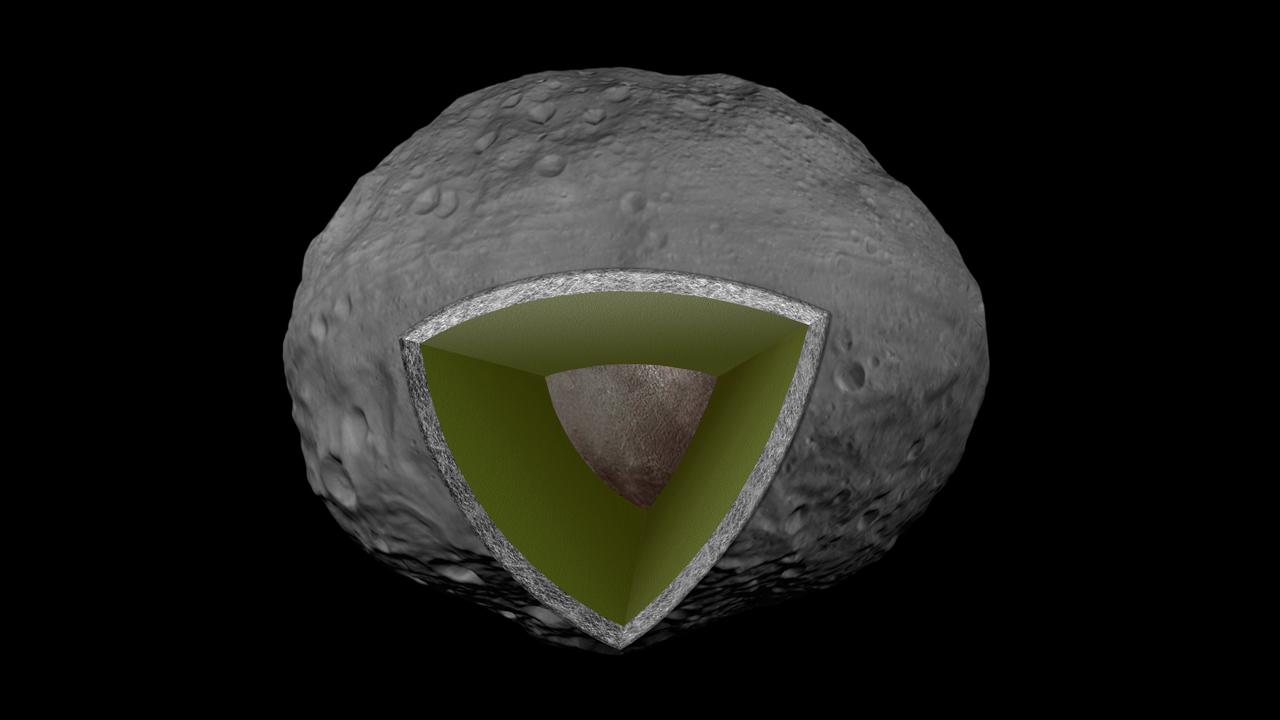
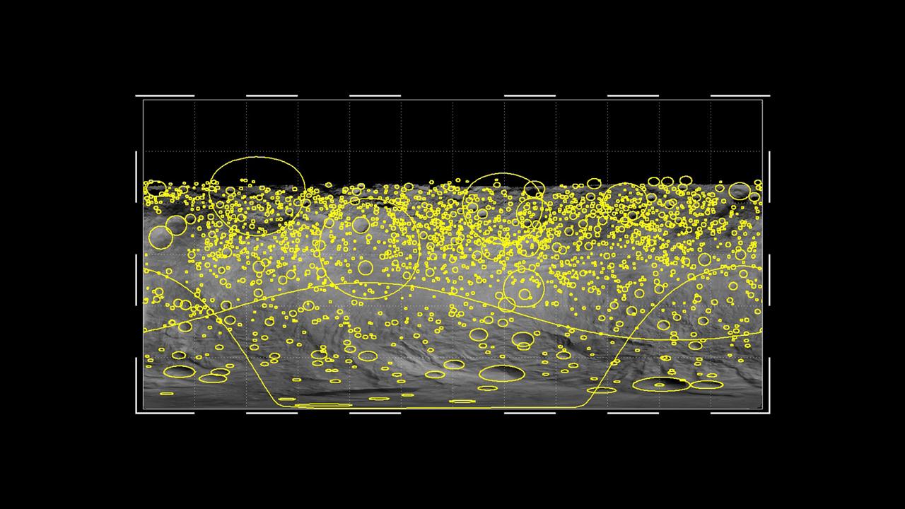
2011-03-10 | Vesta |
Dawn |
787x566x3 | |
|
|||||
|
|
2011-03-10 | Vesta |
Dawn |
1001x1001x3 | |
|
|||||
|
|
2011-03-10 | Vesta |
Dawn |
1024x1024x1 | |
|
|||||
|
|
2011-03-10 | Vesta |
Dawn |
800x800x3 | |
|
|||||
|
|
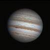
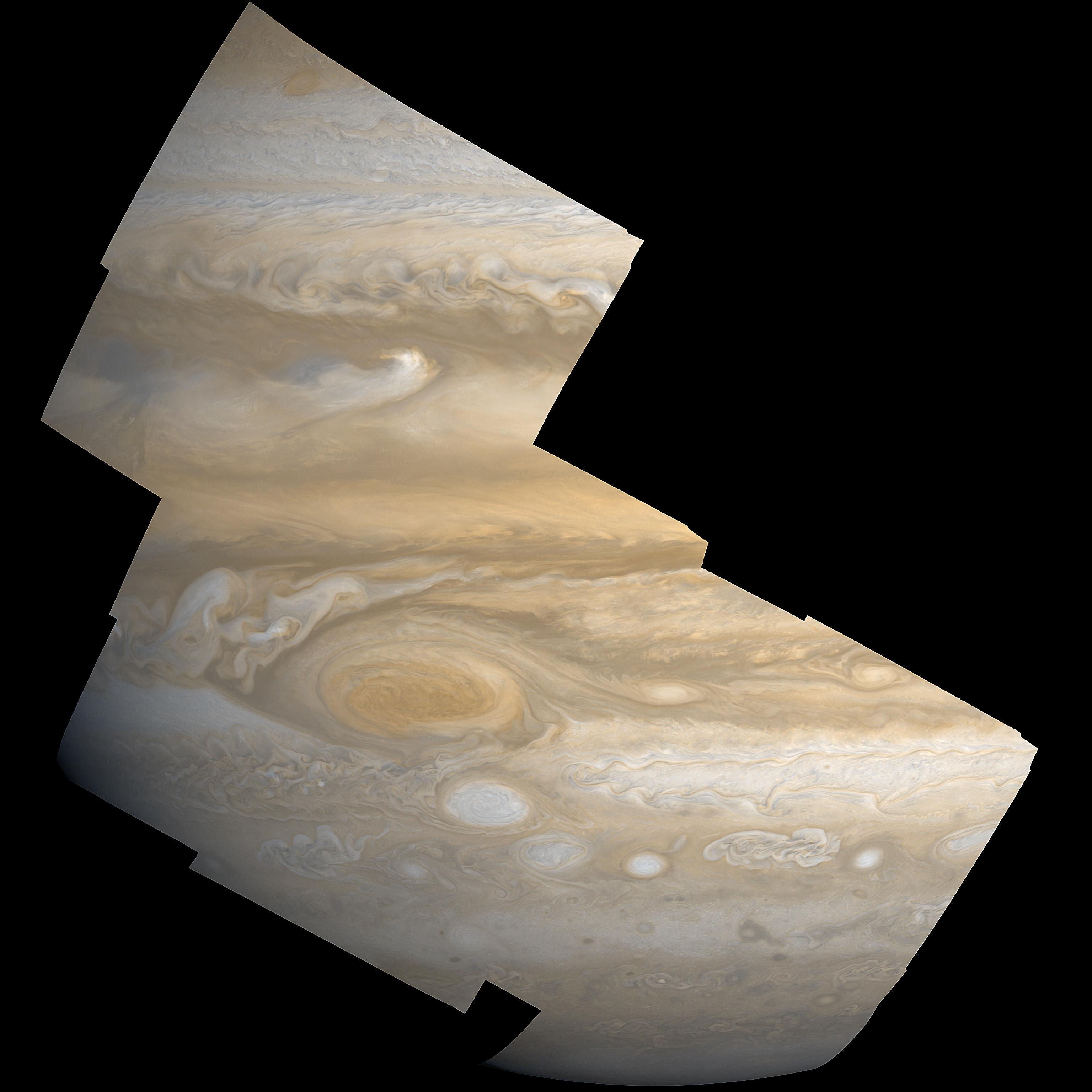
2011-03-31 | Jupiter |
Galileo |
2610x4104x3 | |
|
|||||
|
|
2011-04-12 | Mars |
Mariner Mars 1964 (Mariner 4) |
1209x1280x1 | |
|
|||||
|
|
2011-04-12 | Mars |
Mariner Mars 1964 (Mariner 4) |
15761x9328x3 | |
|
|||||
|
|
2011-05-06 | Mercury |
MESSENGER |
330x194x3 | |
|
|||||
|
|
2011-06-21 | Mercury |
MESSENGER |
946x677x3 | |
|
|||||
|
|
2011-07-06 | Earth | 361x252x3 | ||
|
|||||
|
|
2011-07-12 | Earth |
SMAP |
500x280x3 | |
|
|||||
|
|
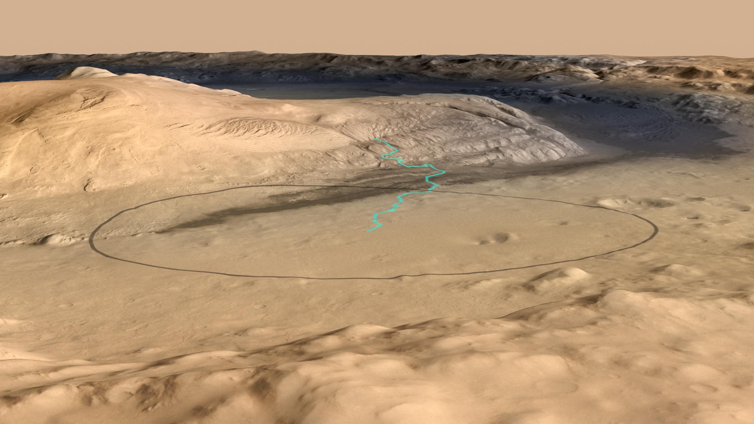
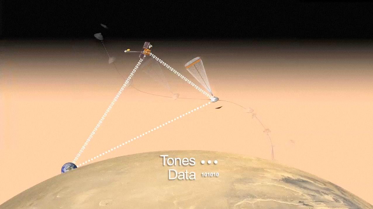
2011-07-22 | Mars |
Mars Science Laboratory (MSL) |
1280x720x3 | |

|
|||||
|
|
2011-07-22 | Mars |
Mars Science Laboratory (MSL) |
892x647x3 | |

|
|||||
|
|
2011-07-22 | Mars |
Mars Science Laboratory (MSL) |
818x720x3 | |
|
|||||
|
|
2012-02-16 | Earth | 1201x900x3 | ||
|
|||||
|
|
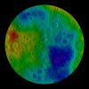
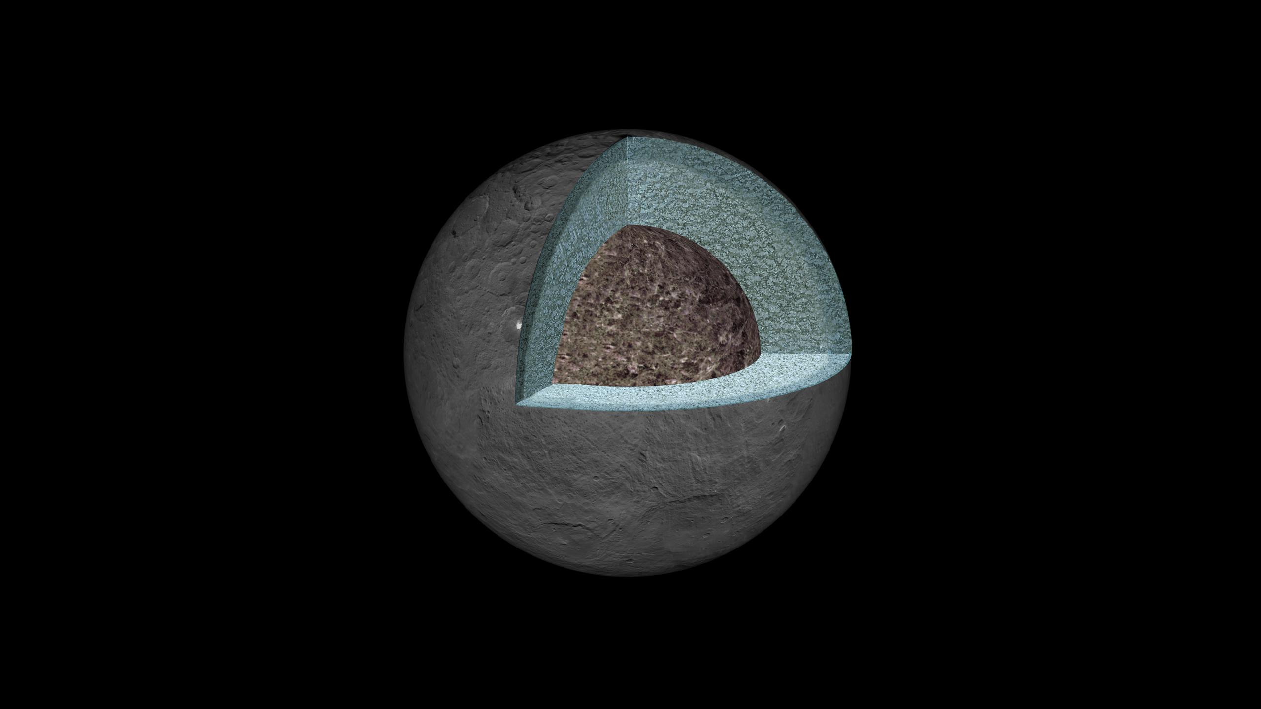
2016-08-03 | Ceres |
Dawn |
2560x1440x3 | |
|
|||||
|
|
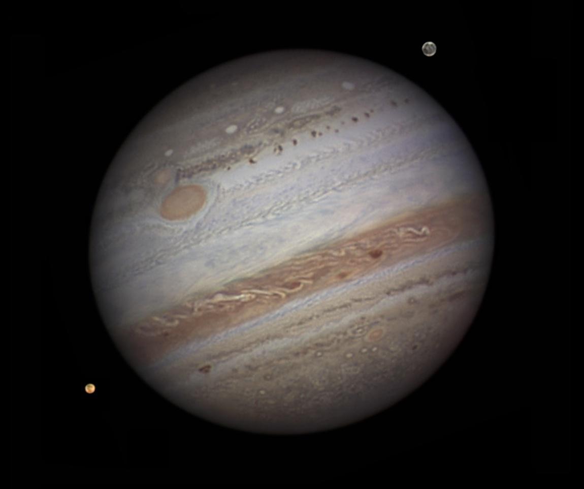
2011-08-03 | Jupiter |
Juno |
1150x962x3 | |
|
|||||
|
|
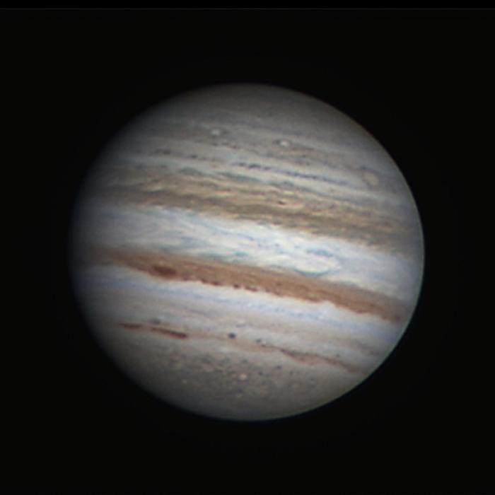
2011-08-03 | Jupiter |
Juno |
700x700x3 | |
|
|||||
|
|
2011-08-03 | Jupiter |
Juno Voyager |
3072x3072x3 | |
|
|||||
|
|
2011-08-18 | Earth | 1192x1192x3 | ||
|
|||||
|
|
2011-08-18 | Earth | 455x256x3 | ||
|
|||||
|
|
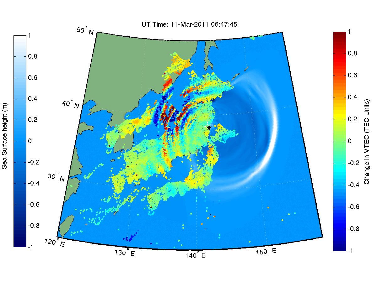
2011-08-24 | Earth |
QuakeSim |
1400x1318x3 | |

|
|||||
|
|
2011-09-26 | Mercury |
Clementine MESSENGER Mariner Venus Mercury (Mariner 10) |
1248x624x1 | |
|
|||||
|
|
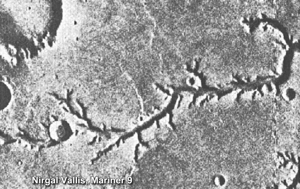
2011-11-21 | Mars |
Mariner Mars 1971 (Mariner 9) |
958x605x1 | |

|
|||||
|
|
2011-11-21 | Mars |
Mars Science Laboratory (MSL) |
788x720x3 | |
|
|||||
|
|
2011-11-21 | Mars |
Mars Science Laboratory (MSL) |
1048x684x3 | |
|
|||||
|
|
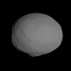
2011-12-02 | Vesta |
Dawn |
2400x1802x3 | |
|
|||||
|
|
2011-12-03 | Vesta |
Dawn |
1800x1333x3 | |

|
|||||
|
|
2011-12-04 | Vesta |
Dawn |
1000x571x3 | |
|
|||||
|
|
2011-12-16 | Sol (our sun) |
Voyager |
1280x720x3 | |
|
|||||
|
|
2011-12-16 | Sol (our sun) |
Voyager |
1280x720x3 | |
|
|||||
|
|
2011-12-16 | Sol (our sun) |
Voyager |
1280x720x3 | |
|
|||||
|
|
2011-12-16 | Sol (our sun) |
Voyager |
1281x718x3 | |
|
|||||
|
|
2012-02-06 | Earth | 1023x574x3 | ||
|
|||||
|
|
2012-02-06 | Earth | 1023x578x3 | ||
|
|||||
|
|
2012-02-06 | Earth |
Shuttle Radar Topography Mission (SRTM) |
1024x576x3 | |
|
|||||
|
|
2012-02-28 | Mercury |
MESSENGER |
621x750x3 | |
|
|||||
|
|
2012-03-20 | Mercury |
MESSENGER |
1497x1224x3 | |
|
|||||
|
|
2012-03-28 | Mars |
Mars Science Laboratory (MSL) |
2560x1440x3 | |
|
|||||
|
|
2012-03-28 | Mars |
Mars Science Laboratory (MSL) |
2560x1440x3 | |

|
|||||
|
|
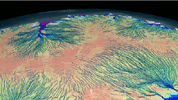
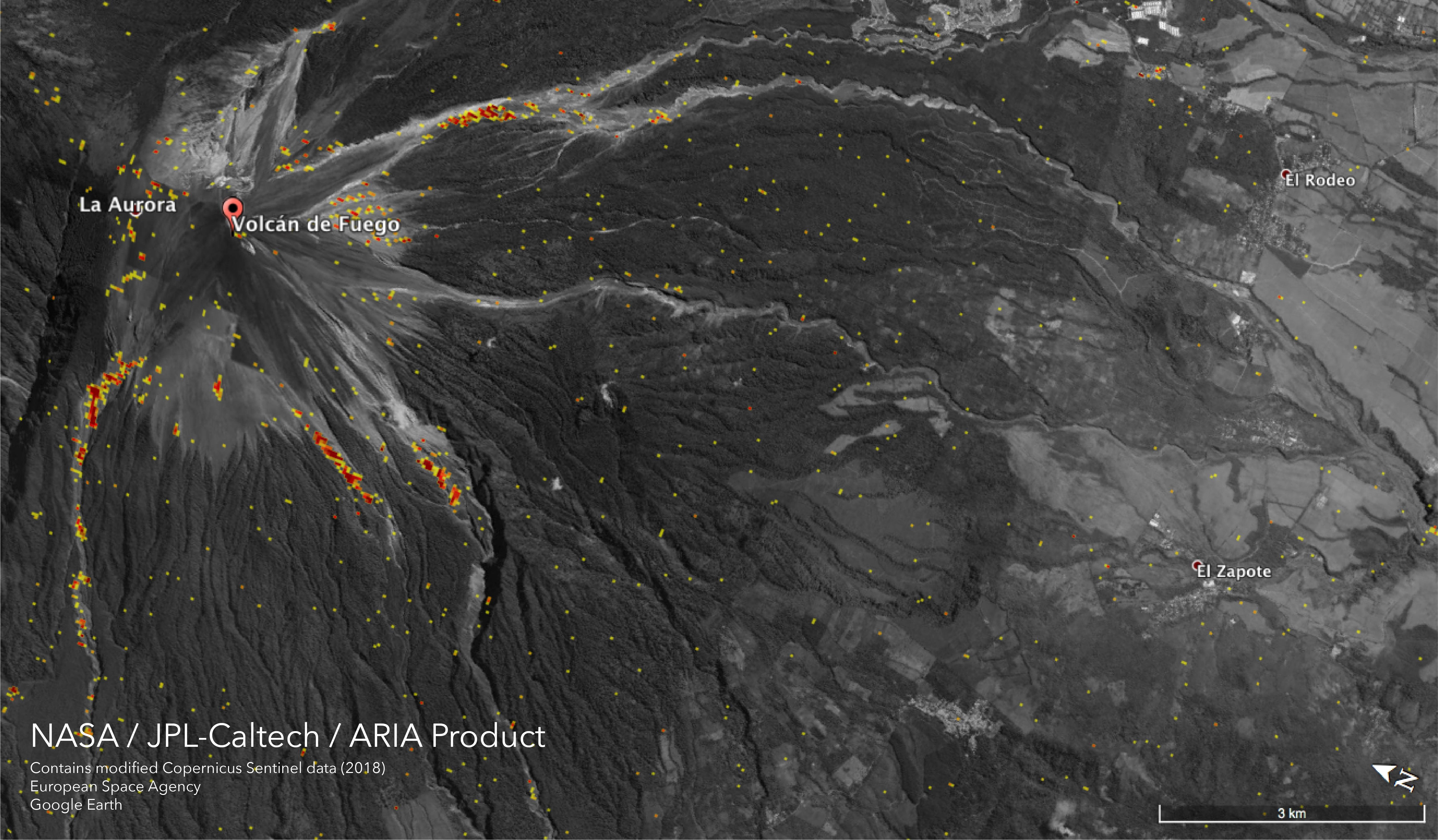
2018-06-15 | Earth |
ARIA |
5493x3209x3 | |
|
|||||
|
|
2012-05-10 | Vesta |
Dawn |
1280x720x3 | |
|
|||||
|
|
2012-05-10 | Vesta |
Dawn |
1280x720x3 | |
|
|||||
|
|
2012-05-10 | Vesta |
Dawn |
1280x720x3 | |
|
|||||
|
|
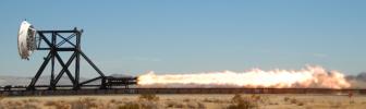
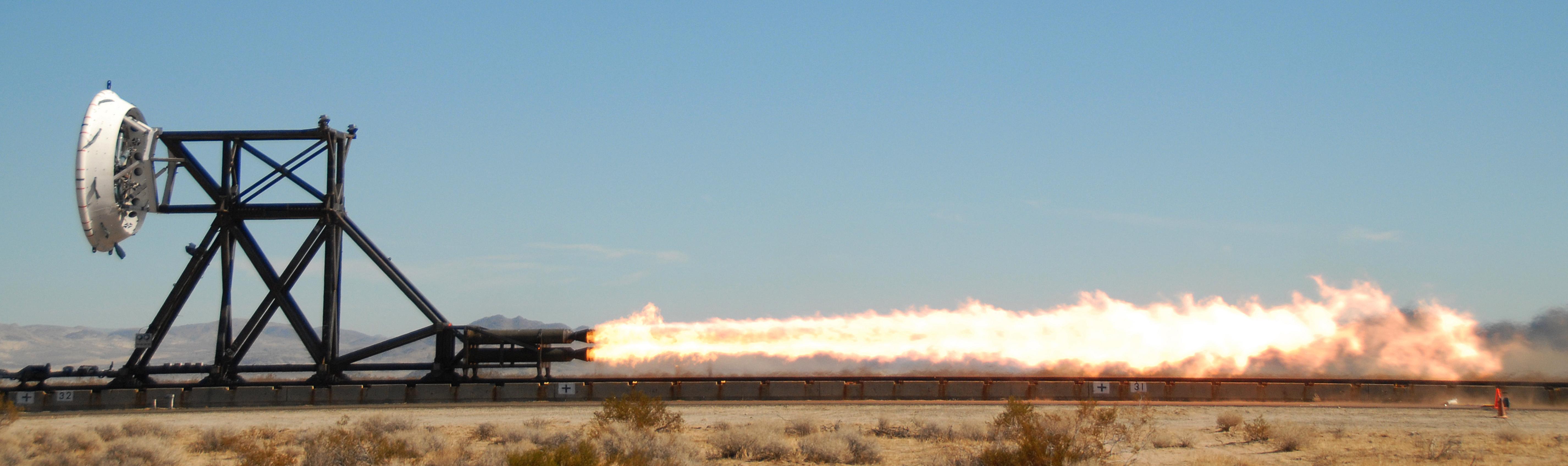
2012-06-08 | Earth |
LDSD |
5704x1697x3 | |
|
|||||
|
|
2012-06-11 | Mars |
Mars Science Laboratory (MSL) |
2560x1600x3 | |
|
|||||
|
|
2012-06-11 | Mars |
Mars Science Laboratory (MSL) |
2560x1600x3 | |
|
|||||
|
|
2012-06-11 | Mars |
Mars Science Laboratory (MSL) |
1564x1528x3 | |
|
|||||
|
|
2012-06-11 | Mars |
Mars Science Laboratory (MSL) |
2560x1600x3 | |
|
|||||
|
|
2012-08-02 | Mars |
Mars Science Laboratory (MSL) |
3300x2550x3 | |
|
|||||
|
|
2012-08-04 | Mars |
Mars Reconnaissance Orbiter (MRO) Mars Science Laboratory (MSL) |
1051x727x3 | |
|
|||||
|
|
2012-08-04 | Mars |
Mars Science Laboratory (MSL) |
1279x719x3 | |
|
|||||
|
|
2012-08-04 | Mars |
Mars Science Laboratory (MSL) |
1278x718x3 | |

|
|||||
|
|
2012-08-04 | Mars |
Mars Science Laboratory (MSL) |
1276x716x3 | |
|
|||||
|
|
2012-08-06 | Mars |
Mars Science Laboratory (MSL) |
256x256x1 | |
|
|||||
|
|
2012-08-06 | Mars |
Mars Science Laboratory (MSL) |
256x256x1 | |

|
|||||
|
|
2012-08-06 | Mars |
Mars Science Laboratory (MSL) |
256x256x1 | |

|
|||||
|
|
2012-08-06 | Mars |
Mars Science Laboratory (MSL) |
256x256x1 | |

|
|||||
|
|
2012-08-06 | Mars |
Mars Science Laboratory (MSL) |
512x512x1 | |
|
|||||
|
|
2012-08-06 | Mars |
Mars Science Laboratory (MSL) |
506x463x1 | |
|
|||||
|
|
2012-08-06 | Mars |
Mars Science Laboratory (MSL) |
506x463x1 | |
|
|||||
|
|
2012-08-06 | Mars |
Mars Science Laboratory (MSL) |
247x253x1 | |

|
|||||
|
|
2012-08-06 | Mars |
Mars Science Laboratory (MSL) |
247x253x1 | |

|
|||||
|
|
2012-08-06 | Mars |
Mars Science Laboratory (MSL) |
1024x1024x1 | |
|
|||||
|
|
2012-08-06 | Mars |
Mars Science Laboratory (MSL) |
1024x930x1 | |
|
|||||
|
|
2012-08-07 | Mars |
Mars Science Laboratory (MSL) |
717x546x3 | |
|
|||||
|
|
2012-08-07 | Mars |
Mars Science Laboratory (MSL) |
717x546x3 | |
|
|||||
|
|
2012-08-07 | Mars |
Mars Science Laboratory (MSL) |
717x546x3 | |
|
|||||
|
|
2012-08-07 | Mars |
Mars Science Laboratory (MSL) |
717x546x3 | |
|
|||||
|
|
2012-08-07 | Mars |
Mars Science Laboratory (MSL) |
717x546x3 | |
|
|||||
|
|
2012-08-07 | Mars |
Mars Science Laboratory (MSL) |
1024x925x3 | |
|
|||||
|
|
2012-08-07 | Mars |
Mars Science Laboratory (MSL) |
1024x847x3 | |
|
|||||
|
|
2012-08-07 | Mars |
Mars Science Laboratory (MSL) |
1024x1024x3 | |
|
|||||
|
|
2012-08-07 | Mars |
Mars Science Laboratory (MSL) |
873x429x1 | |

|
|||||
|
|
2012-08-07 | Mars |
Mars Science Laboratory (MSL) |
1022x767x1 | |
|
|||||
|
|
2012-08-08 | Mars |
Mars Science Laboratory (MSL) |
1024x1024x1 | |
|
|||||
|
|
2012-08-08 | Mars |
Mars Science Laboratory (MSL) |
7703x983x1 | |
|
|||||
|
|
2012-08-08 | Mars |
Mars Science Laboratory (MSL) |
4131x4131x1 | |
|
|||||
|
|
2012-08-08 | Mars |
Mars Science Laboratory (MSL) |
1775x983x1 | |
|
|||||
|
|
2012-08-08 | Mars |
Mars Science Laboratory (MSL) |
1280x720x1 | |
|
|||||
|
|
2012-08-09 | Mars |
Mars Science Laboratory (MSL) |
7703x1671x1 | |
|
|||||
|
|
2012-08-09 | Mars |
Mars Science Laboratory (MSL) |
1024x1024x1 | |
|
|||||
|
|
2012-08-10 | Mars |
Mars Science Laboratory (MSL) |
1280x720x1 | |
|
|||||
|
|
2012-08-10 | Mars |
Mars Science Laboratory (MSL) |
963x720x1 | |
|
|||||
|
|
2012-08-10 | Mars |
Mars Science Laboratory (MSL) |
876x718x3 | |
|
|||||
|
|
2012-08-10 | Mars |
Mars Science Laboratory (MSL) |
1861x1024x1 | |

|
|||||

|
 |
|
|
|
 |
 |
|
|
|
|

|
| 1-100 | 101-200 | 201-300 | 301-400 | 401-500 | 501-600 | 601-700 | 701-800 | 801-900 | 901-1000 |
| Currently displaying images: 401 - 500 of 19636 |