Your search criteria found
12755
images
Target is Mars (and available satellites)
Go to PIAxxxxx:
Refine this list of images by:
Target:
Deimos
Mars
Phobos
Mission:
2001 Mars Odyssey
Antarctic Meteorite Location and Mapping Project (AMLAMP)
Dawn
ExoMars
Hubble Space Telescope
InSight
MAVEN
Mariner Mars 1964 (Mariner 4)
Mariner Mars 1969 (Mariner 7)
Mariner Mars 1971 (Mariner 9)
Mars 2020
Mars 2020 Rover
Mars Atmosphere and Volatile Evolution MissioN (MAVEN)
Mars Climate Orbiter
Mars Cube One (MarCO)
Mars Exploration Rover (MER)
Mars Express (MEX)
Mars Global Surveyor (MGS)
Mars Helicopter
Mars Pathfinder (MPF)
Mars Reconnaissance Orbiter (MRO)
Mars Sample Return
Mars Sample Return (MSR)
Mars Science Laboratory (MSL)
Phoenix
Rosetta
Viking
Spacecraft:
2001 Mars Odyssey
Curiosity
Dawn
InSight Mars Lander
Ingenuity
MAVEN
MarCO-B
Mariner 4
Mariner 7
Mariner 9
Mars Climate Orbiter
Mars Express (MEX)
Mars Express (MEX) Orbiter
Mars Global Surveyor Orbiter
Mars Pathfinder Lander
Mars Pathfinder Rover
Mars Reconnaissance Orbiter (MRO)
Mars Sample Return
Mars Science Laboratory (MSL)
NASA's Mars Pathfinder Lander
Opportunity
Perseverance
Philae Lander
Phoenix Lander
Phoenix Mars Lander
Spirit
Viking Lander 1
Viking Lander 2
Viking Orbiter 1
Viking Orbiter 2
Instrument:
Alpha Particle X-ray Spectrometer
Alpha Particle X-ray Spectrometer (MSL)
Atmospheric Structure / Meteorology Instrument
CHIMRA
Camera 1
Camera 2
Chemistry & Mineralogy (CheMin)
Chemistry and Camera (ChemCam)
Comet Infrared and Visible Analyser (CIVA
Compact Reconnaissance Imaging Spectrometer for Mars (CRISM)
Context Camera (CTX)
Deep Space Network
Descent Image Motion Estimation System (DIMES)
Dynamic Albedo of Neutrons
Dynamic Albedo of Neutrons (DAN)
Gamma Ray Spectrometer - Neutron Spectrometer
Gamma Ray Spectrometer Suite
Hazard Avoidance Camera
Hazard Avoidance Camera (M2020)
Hazard Avoidance Camera (MSL)
Heat and Physical Properties Package (HP3)
High Resolution Imaging Science Experiment (HiRISE)
High Resolution Instrument (HRI)
High Resolution Stereo Camera
Imager for Mars Pathfinder
Imaging Ultraviolet Spectrograph
Imaging Ultraviolet Spectrograph (IUVS)
Instrument Context Camera (ICC)
Instrument Deployment Camera (IDC)
Lander Vision System Camera (LCAM)
Magnetometer
Mars Advanced Radar for Subsurface and Ionosphere Sounding (MARSIS)
Mars Advanced Radar for Subsurface and Ionospheric Sounding (MARSIS)
Mars Climate Sounder (MCS)
Mars Color Imager (MARCI)
Mars Descent Imager
Mars Environmental Dynamics Analyzer (MEDA)
Mars Hand Lens Imager (MAHLI)
Mars Horizon Sensor Assembly
Mars Orbiter Camera (MOC)
Mars Orbiter Laser Altimeter
Mars Radiation Experiment
Mastcam
Mastcam-Z
Microscopic Imager
Microscopy Electrochemistry and Conductivity Analyzer (MECA)
Miniature Thermal Emission Spectrometer
Moessbauer Spectrometer
Navigation Camera
Navigation Camera (M2020)
Navigation Camera (MSL)
Neutral Gas and Ion Mass Spectrometer
Neutron Spectrometer
Optical Microscope
Optical Navigation Camera
Panoramic Camera
Planetary Instrument for X-ray Lithochemistry (PIXL)
Radar System
Radiation Assessment Detector (RAD)
Radio Science Subsystem
Robotic Arm
Robotic Arm (MSL)
Robotic Arm Camera (RAC)
Rock Abrasion Tool (RAT)
Rover Cameras
Rover Environmental Monitoring Station (REMS)
Sample Analysis at Mars (SAM)
Scanning Habitable Environments with Raman & Luminescence for Organics and Chemicals (SHERLOC)
Seismic Experiment for Interior Structure (SEIS)
Shallow Subsurface Radar (SHARAD)
Stereo Imager (SSI)
SuperCam
Surface Stereo Imager (SSI)
Thermal Emission Imaging System
Thermal Emission Spectrometer
Thermal and Electrical Conductivity Probe
Thermal and Evolved Gas Analyzer
Trace Gas Orbiter
Visual Imaging Subsystem
Visual Imaging Subsystem - Camera A
Visual Imaging Subsystem - Camera B
Wide Field Planetary Camera 2
Click on an image for detailed information
Click on a column heading to sort in ascending or descending order
My
List
Addition Date
Target
Mission
Instrument
Size
2010-04-29
Mars
2001 Mars Odyssey
THEMIS
1330x2776x1
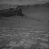
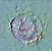
PIA13071:
Juventae Chasma
Full Resolution:
TIFF
(3.696 MB)
JPEG
(255.4 kB)
2010-04-29
Mars
Mars Reconnaissance Orbiter (MRO)
HiRISE
2560x1920x3
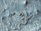
PIA13072:
Reading the Geologic Record
Full Resolution:
TIFF
(14.76 MB)
JPEG
(476.9 kB)
2010-04-29
Mars
Mars Reconnaissance Orbiter (MRO)
HiRISE
2560x1920x3
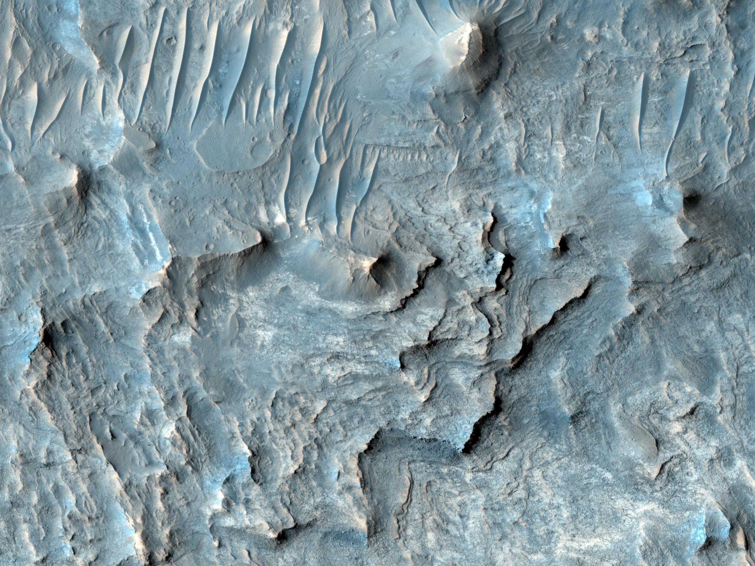
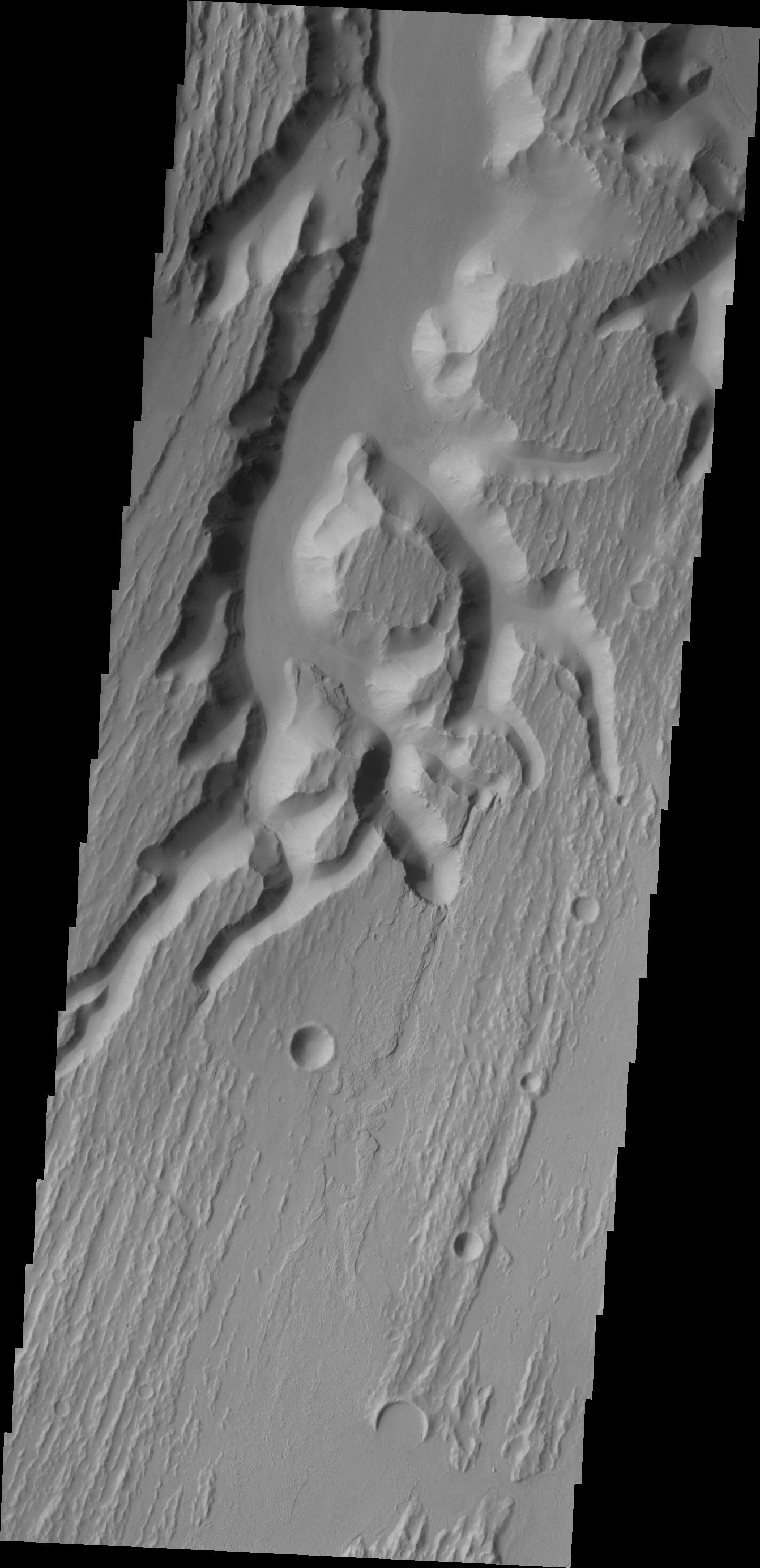
PIA13073:
Yardangs within a Large Crater
Full Resolution:
TIFF
(14.76 MB)
JPEG
(604.5 kB)
2010-04-29
Mars
Mars Reconnaissance Orbiter (MRO)
HiRISE
2560x1920x3
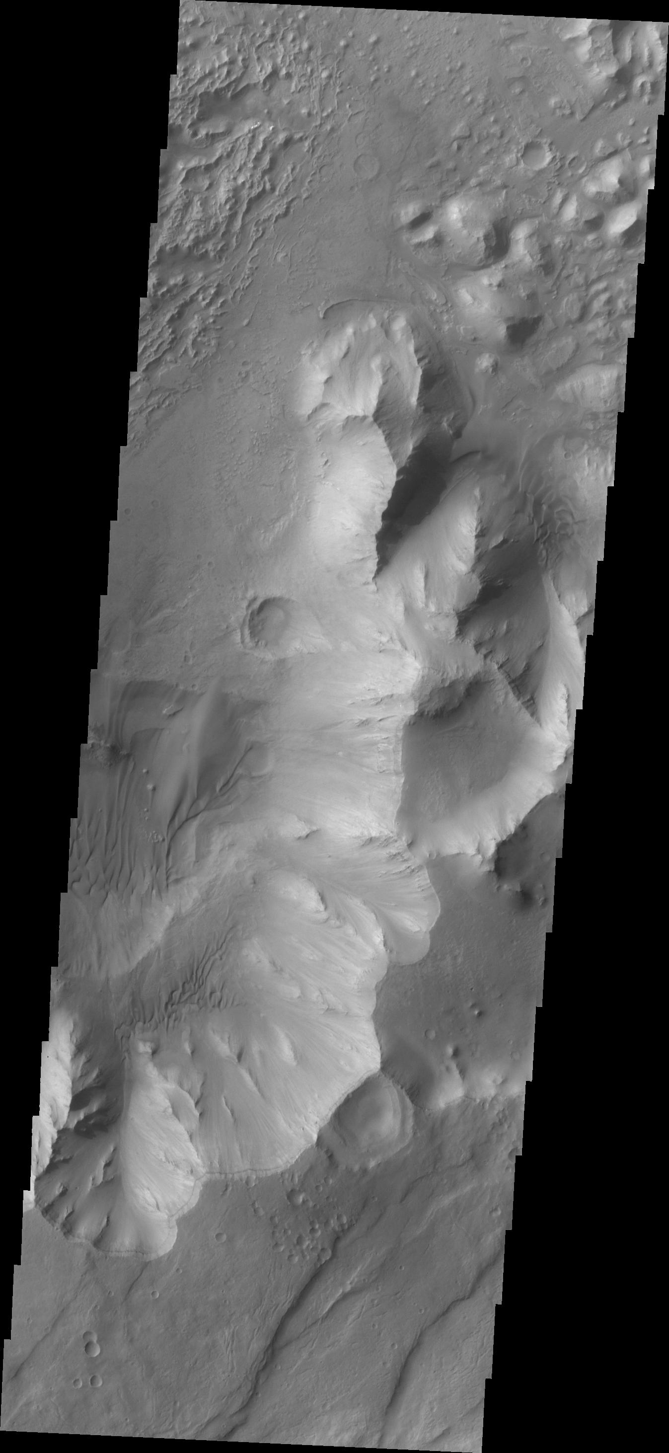
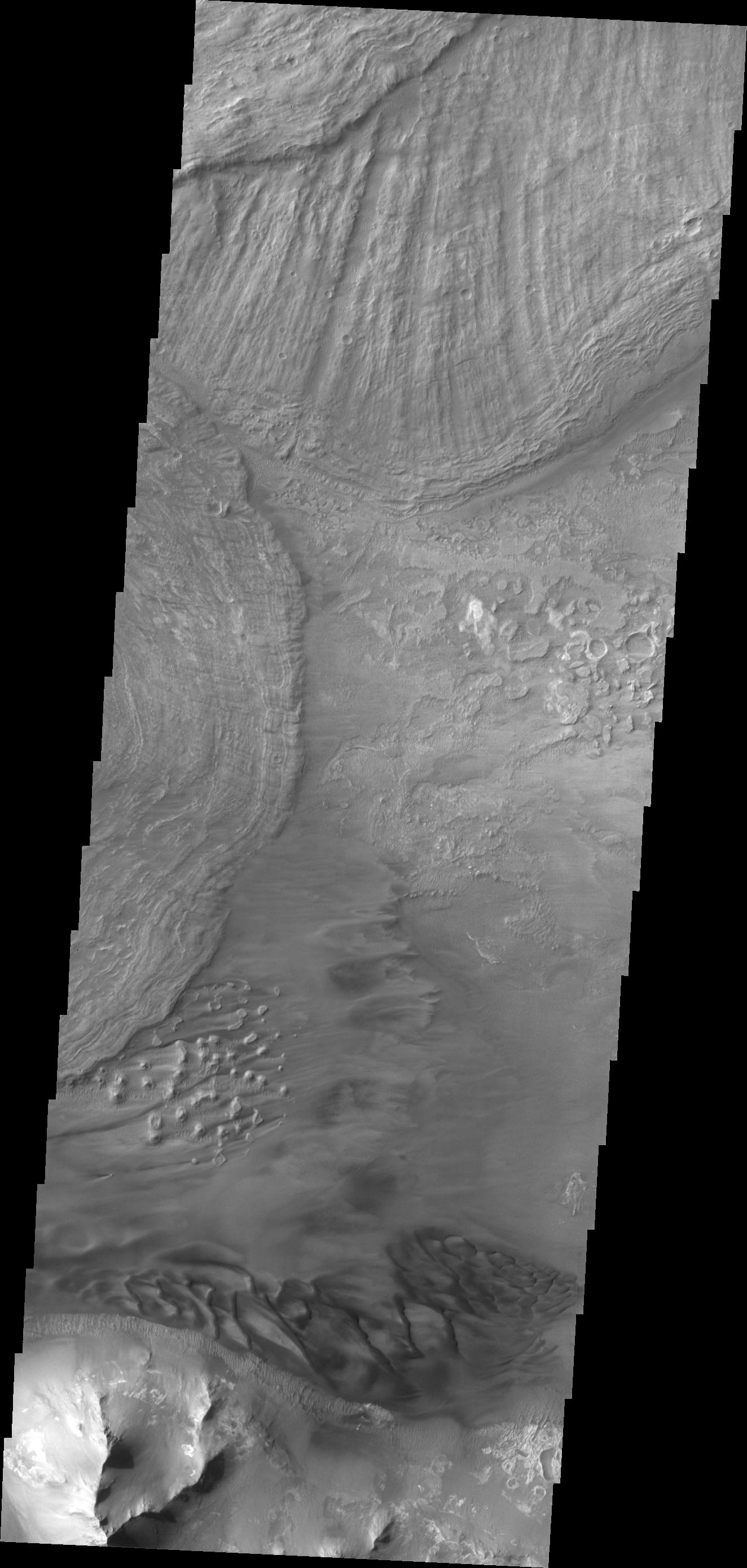
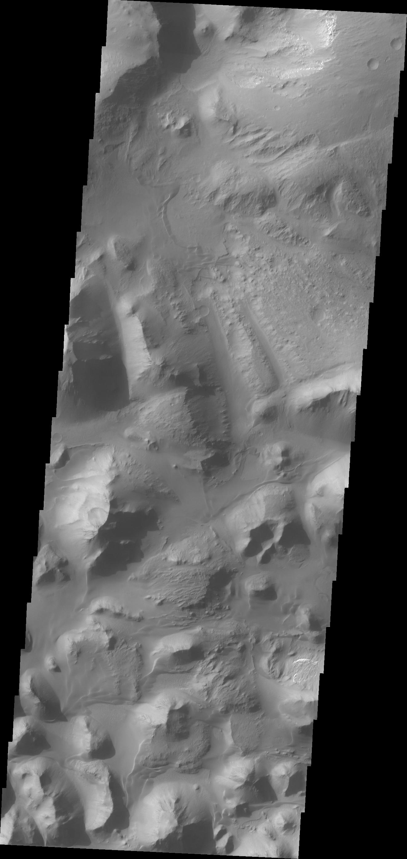
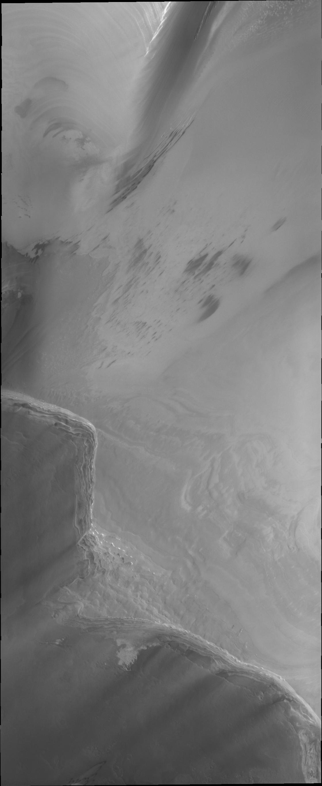
PIA13074:
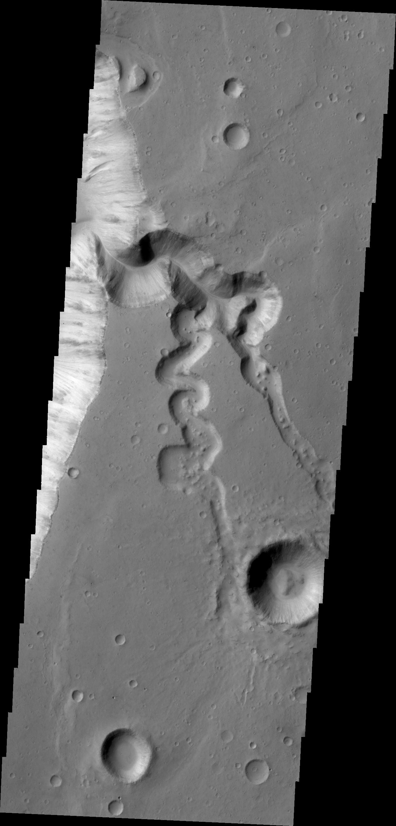
Gullied Trough in Noachis Terra
Full Resolution:
TIFF
(14.76 MB)
JPEG
(1.183 MB)
2010-04-29
Mars
Mars Reconnaissance Orbiter (MRO)
HiRISE
2560x1920x3
PIA13075:
Newly-Formed Slope Streaks
Full Resolution:
TIFF
(14.76 MB)
JPEG
(811.8 kB)
2010-04-29
Mars
Mars Reconnaissance Orbiter (MRO)
HiRISE
2560x1920x3
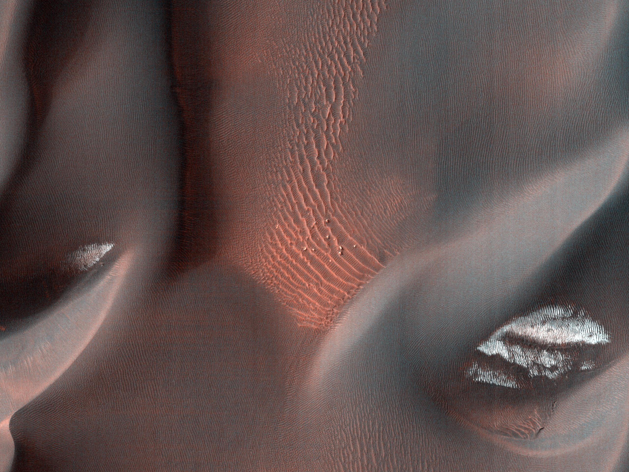
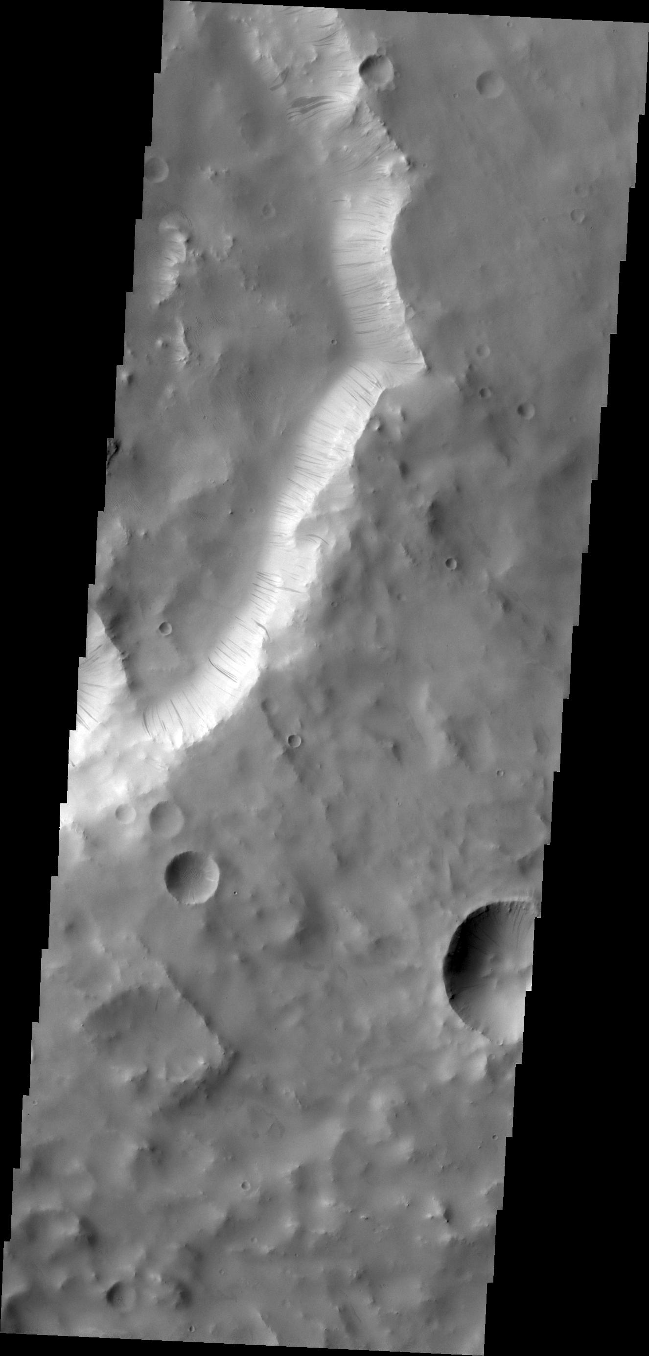
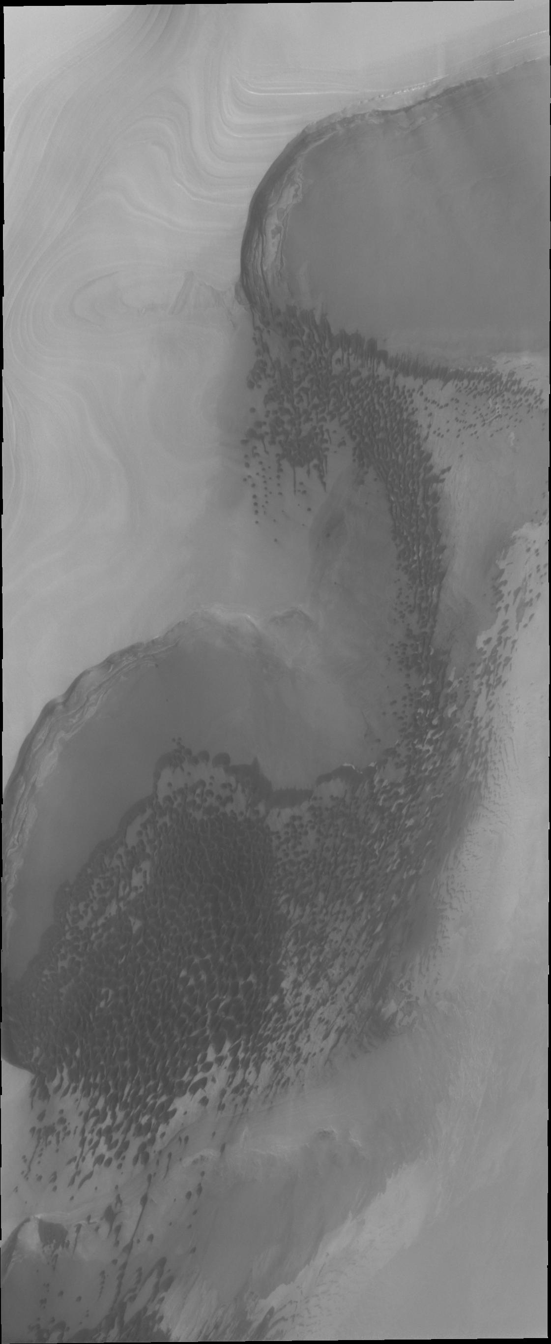
PIA13076:
Proctor Crater Dune Field
Full Resolution:
TIFF
(14.76 MB)
JPEG
(978.5 kB)
2010-04-29
Mars
Mars Reconnaissance Orbiter (MRO)
HiRISE
2560x1920x3
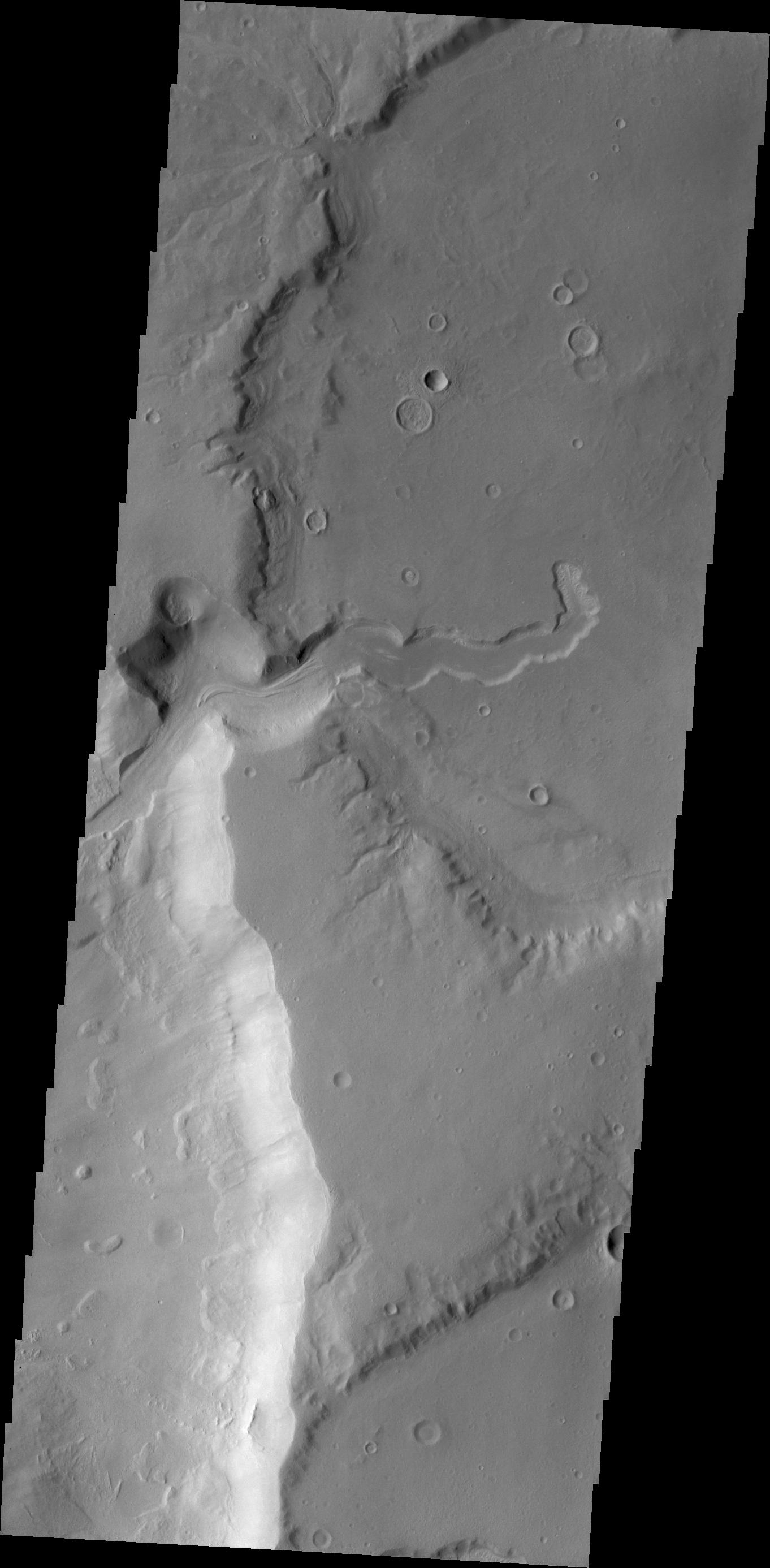
PIA13077:
Floor of Ius Chasma
Full Resolution:
TIFF
(14.76 MB)
JPEG
(862.9 kB)
2010-04-30
Mars
2001 Mars Odyssey
THEMIS
1383x2772x1
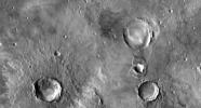
PIA13050:
Galaxias Fossae
Full Resolution:
TIFF
(3.838 MB)
JPEG
(408.6 kB)
2010-04-30
Mars
Mars Exploration Rover (MER)
Panoramic Camera
2188x1250x3
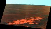
PIA13080:
Endeavour on the Horizon (False Color)
Full Resolution:
TIFF
(8.215 MB)
JPEG
(403.4 kB)
2010-04-30
Mars
Mars Exploration Rover (MER)
Panoramic Camera
2188x1250x3
PIA13081:
Endeavour on the Horizon
Full Resolution:
TIFF
(8.215 MB)
JPEG
(206.9 kB)
2010-04-30
Mars
2001 Mars Odyssey
THEMIS
2537x1360x1
PIA13082:
Orbital View of Opportunity's Region
Full Resolution:
TIFF
(3.454 MB)
JPEG
(377.2 kB)
2010-04-30
Mars
Mars Exploration Rover (MER)
Navigation Camera
3988x2253x3
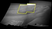
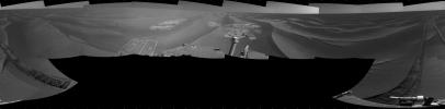
PIA13084:
Endeavour on the Horizon (Context View)
Full Resolution:
TIFF
(26.96 MB)
JPEG
(784.3 kB)
2010-05-03
Mars
2001 Mars Odyssey
THEMIS
1333x2779x1
PIA13086:
Coprates Crater
Full Resolution:
TIFF
(3.708 MB)
JPEG
(316.6 kB)
2010-05-03
Mars
Mars Exploration Rover (MER)
Navigation Camera
1024x1024x43
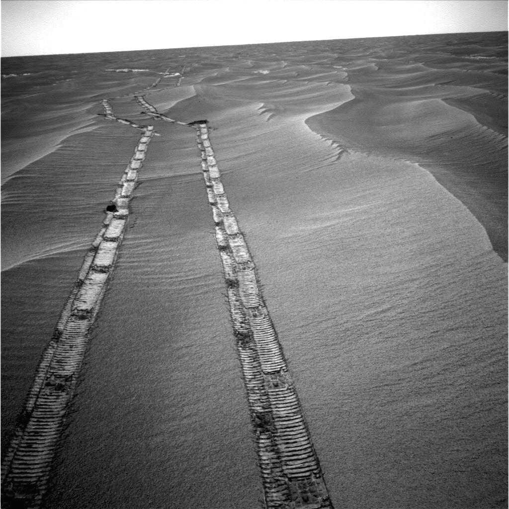
PIA13088:
Opportunity's Wheel Tracks at Victoria Crater
Full Resolution:
TIFF
(1.05 MB)
JPEG
(76.85 kB)
2010-05-04
Mars
2001 Mars Odyssey
THEMIS
1326x2773x1
PIA13092:
Ganges Chasma
Full Resolution:
TIFF
(3.681 MB)
JPEG
(242.6 kB)
2010-05-05
Mars
2001 Mars Odyssey
THEMIS
1350x2766x1
PIA13096:
Rhabon Vallis
Full Resolution:
TIFF
(3.738 MB)
JPEG
(457.4 kB)
2010-05-05
Mars
Mars Reconnaissance Orbiter (MRO)
HiRISE
1456x1805x1
PIA13097:
Intra-Crater Structure in NW Hellas Basin, Mars
Full Resolution:
TIFF
(2.631 MB)
JPEG
(371.1 kB)
2010-05-06
Mars
2001 Mars Odyssey
THEMIS
1335x2767x1
PIA13103:
Lava Flows in the Tharsis Region
Full Resolution:
TIFF
(3.698 MB)
JPEG
(295.8 kB)
2010-05-06
Mars
Mars Exploration Rover (MER)
Panoramic Camera
1405x3020x3
PIA13104:
Two Worlds, One Sun
Full Resolution:
TIFF
(12.75 MB)
JPEG
(280.9 kB)
2010-05-07
Mars
2001 Mars Odyssey
THEMIS
1347x2925x1
PIA13105:
Capri Chasma
Full Resolution:
TIFF
(3.944 MB)
JPEG
(262.4 kB)
2010-05-10
Mars
2001 Mars Odyssey
THEMIS
1360x2773x1
PIA13130:
Terra Sabaea
Full Resolution:
TIFF
(3.775 MB)
JPEG
(317.6 kB)
2010-05-11
Mars
2001 Mars Odyssey
THEMIS
1334x2772x1
PIA13131:
Wind Effects
Full Resolution:
TIFF
(3.702 MB)
JPEG
(465 kB)
2010-05-12
Mars
2001 Mars Odyssey
THEMIS
1444x2942x1
PIA13136:
Utopia Planitia
Full Resolution:
TIFF
(4.253 MB)
JPEG
(348.4 kB)
2010-05-13
Mars
2001 Mars Odyssey
THEMIS
1377x2773x1
PIA13137:
Acheron Fossae
Full Resolution:
TIFF
(3.823 MB)
JPEG
(486.7 kB)
2010-05-14
Mars
2001 Mars Odyssey
THEMIS
1341x2769x1
PIA13138:
Cerberus Fossae
Full Resolution:
TIFF
(3.717 MB)
JPEG
(354.9 kB)
2010-05-17
Mars
2001 Mars Odyssey
THEMIS
1326x2770x1
PIA13141:
Syrtis Planum Landslide
Full Resolution:
TIFF
(3.677 MB)
JPEG
(201.7 kB)
2010-05-18
Mars
2001 Mars Odyssey
THEMIS
1120x2731x1
PIA13145:
North Polar Dunes
Full Resolution:
TIFF
(3.062 MB)
JPEG
(159.5 kB)
2010-05-19
Mars
2001 Mars Odyssey
THEMIS
1363x2773x1
PIA13146:
Cydonia Mensae
Full Resolution:
TIFF
(3.784 MB)
JPEG
(265.7 kB)
2010-05-19
Mars
Mars Exploration Rover (MER)
Navigation Camera
1024x1024x1
PIA13147:
Opportunity Looks Back After Hop to a New Pad
Full Resolution:
TIFF
(1.05 MB)
JPEG
(164.8 kB)
2010-05-20
Mars
2001 Mars Odyssey
THEMIS
1375x2781x1
PIA13152:
Moreaux Crater Dunes
Full Resolution:
TIFF
(3.829 MB)
JPEG
(281.5 kB)
2010-05-21
Mars
2001 Mars Odyssey
THEMIS
1322x2777x1
PIA13153:
Ganges Chasma
Full Resolution:
TIFF
(3.675 MB)
JPEG
(212.4 kB)
2010-05-24
Mars
2001 Mars Odyssey
THEMIS
1327x2775x1
PIA13154:
Wind Effects
Full Resolution:
TIFF
(3.686 MB)
JPEG
(477.5 kB)
2010-05-24
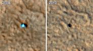
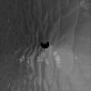
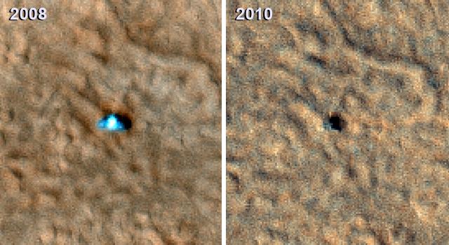
Mars
Phoenix
HiRISE
640x350x3
PIA13158:
Image from Mars Orbit Indicates Solar Panels on Phoenix Lander may have Collapsed
Full Resolution:
TIFF
(672.9 kB)
JPEG
(47.98 kB)
2010-05-25
Mars
2001 Mars Odyssey
THEMIS
1328x2938x1
PIA13159:
Eberswalde Crater Delta
Full Resolution:
TIFF
(3.906 MB)
JPEG
(311.7 kB)
2010-05-26
Mars
2001 Mars Odyssey
THEMIS
1342x2768x1
PIA13161:
Kasei Valles
Full Resolution:
TIFF
(3.719 MB)
JPEG
(277.8 kB)
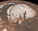
2010-05-26
Mars
Mars Global Surveyor (MGS)
Mars Orbiter Camera (MOC)
MOLA
1280x1024x3
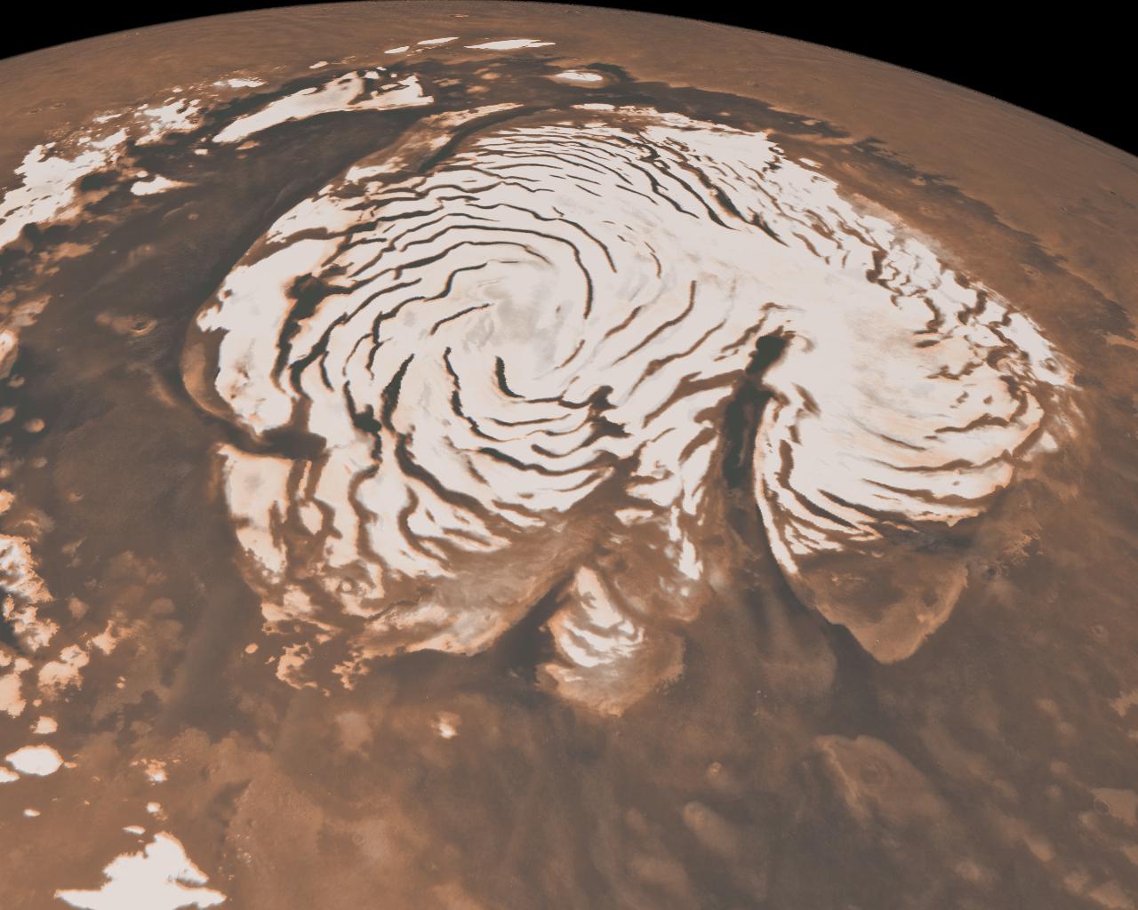
PIA13163:
Northern Ice Cap of Mars
Full Resolution:
TIFF
(3.936 MB)
JPEG
(141.1 kB)
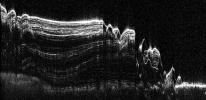
2010-05-26
Mars
Mars Reconnaissance Orbiter (MRO)
Shallow Subsurface Radar (SHARAD)
1936x939x1
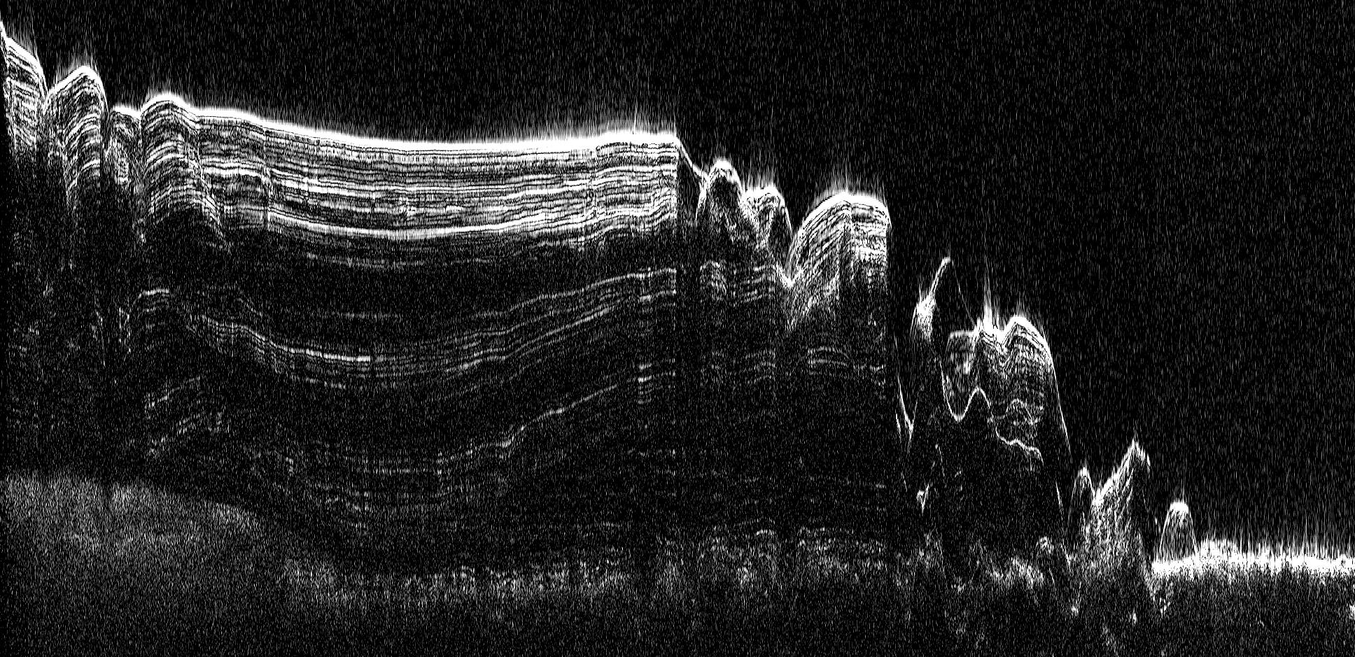
PIA13164:
North Polar Cap Cross Section
Full Resolution:
TIFF
(1.82 MB)
JPEG
(575.5 kB)
2010-05-27
Mars
2001 Mars Odyssey
THEMIS
1324x2781x1
PIA13166:
Ius Chasma
Full Resolution:
TIFF
(3.686 MB)
JPEG
(306.7 kB)
2010-05-28
Mars
2001 Mars Odyssey
THEMIS
1332x2772x1
PIA13169:
Nanedi Valles
Full Resolution:
TIFF
(3.696 MB)
JPEG
(257.2 kB)
2010-05-31
Mars
2001 Mars Odyssey
THEMIS
1351x2770x1
PIA13170:
Elysium Fractures
Full Resolution:
TIFF
(3.746 MB)
JPEG
(329.8 kB)
2010-06-01
Mars
2001 Mars Odyssey
THEMIS
1333x2772x1
PIA13171:
Wind Effects
Full Resolution:
TIFF
(3.699 MB)
JPEG
(615.8 kB)
2010-06-02
Mars
2001 Mars Odyssey
THEMIS
1304x2770x1
PIA13176:
Pavonis Mons
Full Resolution:
TIFF
(3.616 MB)
JPEG
(423.4 kB)
2010-06-03
Mars
Mars Exploration Rover (MER)
Panoramic Camera
907x678x3
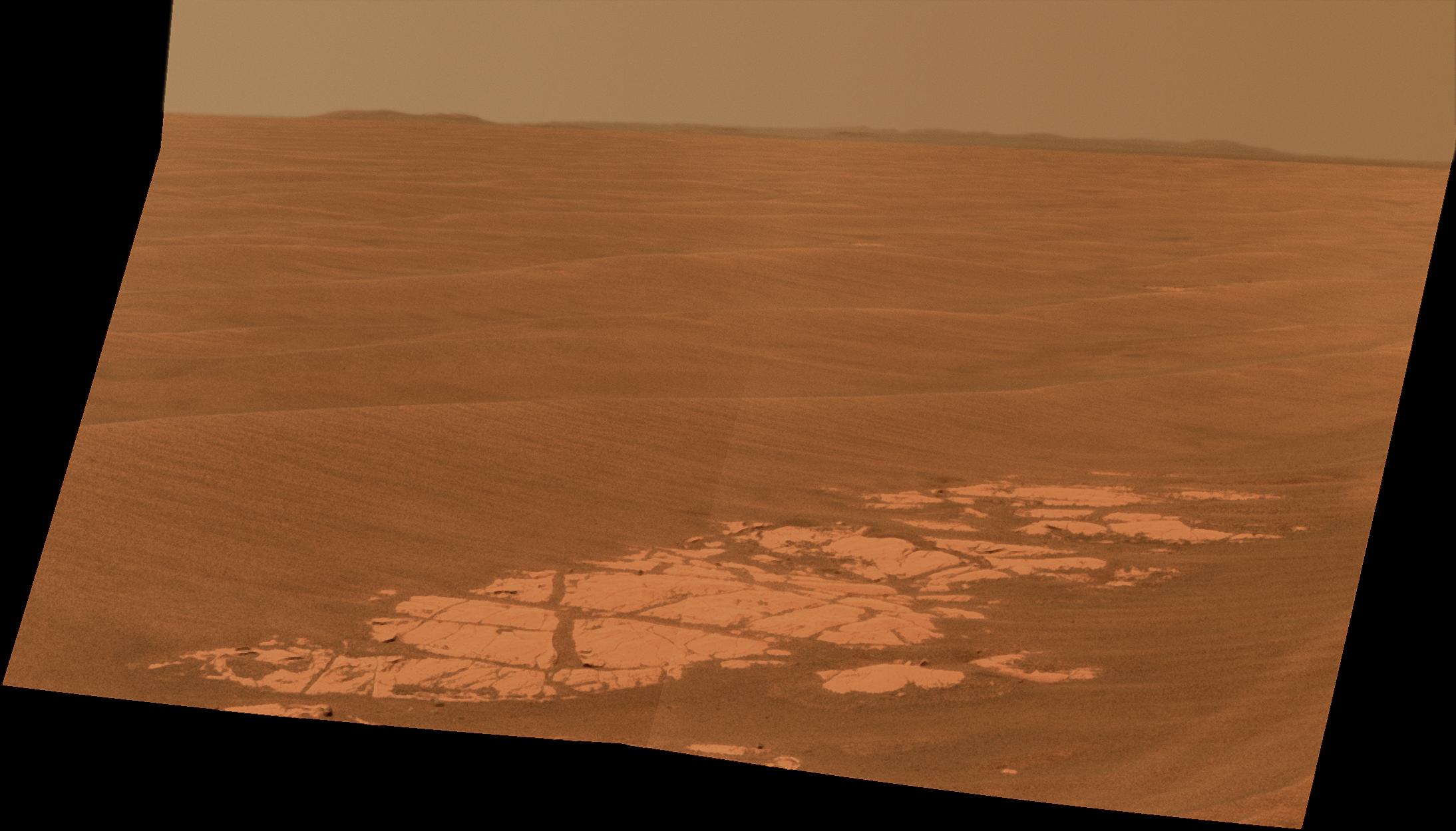
PIA13175:
Carbonate-Containing Martian Rocks, False Color
Full Resolution:
TIFF
(1.847 MB)
JPEG
(114.1 kB)
2010-06-03
Mars
2001 Mars Odyssey
THEMIS
1327x2929x1
PIA13177:
Briault Crater Dunes
Full Resolution:
TIFF
(3.891 MB)
JPEG
(397 kB)
2010-06-04
Mars
2001 Mars Odyssey
THEMIS
1312x2938x1
PIA13180:
Relative Age
Full Resolution:
TIFF
(3.859 MB)
JPEG
(460.1 kB)
2010-06-07
Mars
2001 Mars Odyssey
THEMIS
1319x2772x1
PIA13182:
Terra Sabaea
Full Resolution:
TIFF
(3.66 MB)
JPEG
(239.5 kB)
2010-06-08
Mars
2001 Mars Odyssey
THEMIS
1322x2784x1
PIA13183:
Eos Chasma
Full Resolution:
TIFF
(3.684 MB)
JPEG
(229 kB)
2010-06-09
Mars
2001 Mars Odyssey
THEMIS
1328x2776x1
PIA13184:
Ophir Chasma
Full Resolution:
TIFF
(3.69 MB)
JPEG
(298.7 kB)
2010-06-09
Mars
Mars Reconnaissance Orbiter (MRO)
HiRISE
2560x1920x3
PIA13185:
Polygonal Ridge in Gordii Dorsum Region, Mars
Full Resolution:
TIFF
(14.76 MB)
JPEG
(622.3 kB)
2010-06-09
Mars
Mars Reconnaissance Orbiter (MRO)
HiRISE
2560x1920x3
PIA13186:
Northern Hemisphere Gullies on West-Facing Crater Slope, Mars
Full Resolution:
TIFF
(14.76 MB)
JPEG
(726.1 kB)
2010-06-10
Mars
2001 Mars Odyssey
THEMIS
1359x2773x1
PIA13190:
Arabia Terra
Full Resolution:
TIFF
(3.772 MB)
JPEG
(370.2 kB)
2010-06-11
Mars
2001 Mars Odyssey
THEMIS
1329x2772x1
PIA13191:
Shalbatana Vallis
Full Resolution:
TIFF
(3.688 MB)
JPEG
(230.1 kB)
2010-06-14
Mars
2001 Mars Odyssey
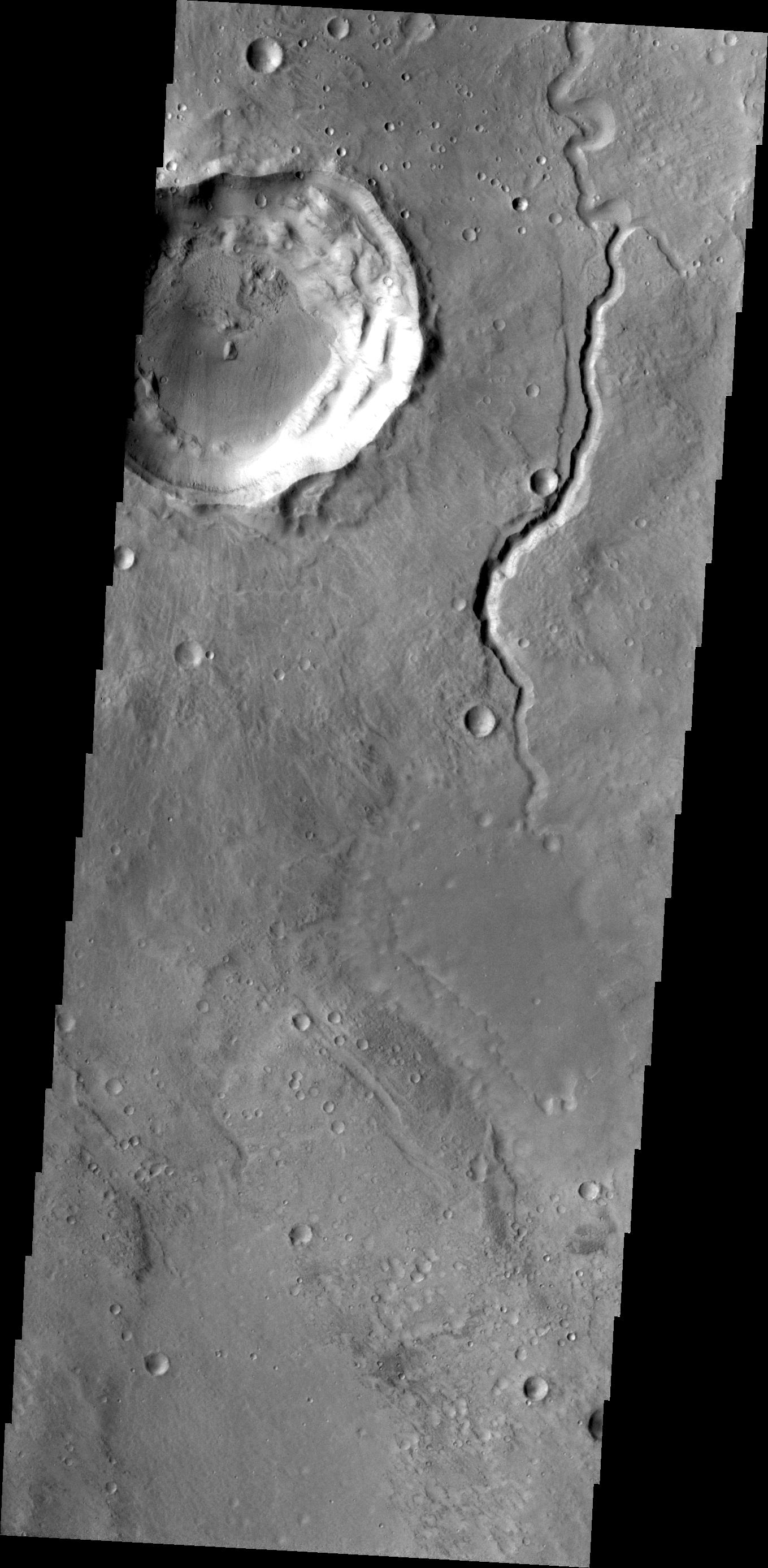
THEMIS
1362x2773x1
PIA13199:
Channel
Full Resolution:
TIFF
(3.781 MB)
JPEG
(251.8 kB)
2010-06-15
Mars
2001 Mars Odyssey
THEMIS
1327x2775x1
PIA13205:
Wind Effects
Full Resolution:
TIFF
(3.686 MB)
JPEG
(446.4 kB)
2010-06-16
Mars
2001 Mars Odyssey
THEMIS
1326x2770x1
PIA13206:
Dark Slope Streaks
Full Resolution:
TIFF
(3.677 MB)
JPEG
(205.3 kB)
2010-06-17
Mars
2001 Mars Odyssey
THEMIS
1334x2771x1
PIA13207:
Channel in Xanthe Terra
Full Resolution:
TIFF
(3.7 MB)
JPEG
(328.3 kB)
2010-06-17
Mars
2001 Mars Odyssey
THEMIS
408x404x1
PIA13208:
Martian Pit Feature Found by Seventh Graders
Full Resolution:
TIFF
(165.2 kB)
JPEG
(29.42 kB)
2010-06-18
Mars
2001 Mars Odyssey
THEMIS
1318x2766x1
PIA13209:
Ascraeus Mons
Full Resolution:
TIFF
(3.65 MB)
JPEG
(423.4 kB)
2010-06-21
Mars
2001 Mars Odyssey
THEMIS
1316x2775x1
PIA13210:
Windstreak
Full Resolution:
TIFF
(3.656 MB)
JPEG
(548.5 kB)
2010-06-22
Mars
2001 Mars Odyssey
THEMIS
1329x2770x1
PIA13198:
Dark Slope Streaks
Full Resolution:
TIFF
(3.685 MB)
JPEG
(221.5 kB)
2010-06-23
Mars
2001 Mars Odyssey
THEMIS
1329x2776x1
PIA13212:
Ganges Chasma
Full Resolution:
TIFF
(3.693 MB)
JPEG
(210.8 kB)
2010-06-24
Mars
Mars Express (MEX)
Mars Reconnaissance Orbiter (MRO)
Context Camera
High Resolution Stereo Camera
617x543x3
PIA13214:
Hydrated Minerals Exposed at Stokes, Northern Mars
Full Resolution:
TIFF
(1.006 MB)
JPEG
(45.72 kB)
2010-06-24
Mars
Viking
Mars Global Surveyor (MGS)
MOLA
984x960x3
PIA13215:
Hydrated Minerals Exposed at Lyot, Northern Mars
Full Resolution:
TIFF
(2.838 MB)
JPEG
(153.2 kB)
2010-06-24
Mars
2001 Mars Odyssey
THEMIS
1325x2777x1
PIA13218:
Juventae Chasma Dunes
Full Resolution:
TIFF
(3.683 MB)
JPEG
(209 kB)
2010-06-25
Mars
2001 Mars Odyssey
THEMIS
1326x2774x1
PIA13228:
Ganges Chasma
Full Resolution:
TIFF
(3.682 MB)
JPEG
(248 kB)
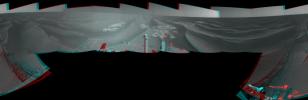
2010-06-25
Mars
Mars Exploration Rover (MER)
Navigation Camera
4000x4000x1
PIA13219:
Opportunity's Surroundings After Sol 2220 Drive (Vertical)
Full Resolution:
TIFF
(16.02 MB)
JPEG
(669 kB)
2010-06-25
Mars
Mars Exploration Rover (MER)
Navigation Camera
4205x4205x1
PIA13220:
Opportunity's Surroundings After Sol 2220 Drive (Polar)
Full Resolution:
TIFF
(17.72 MB)
JPEG
(892.6 kB)
2010-06-25
Mars
Mars Exploration Rover (MER)
Navigation Camera
7753x2513x3
PIA13221:
Opportunity's Surroundings After Sol 2220 Drive (Stereo)
Full Resolution:
TIFF
(58.45 MB)
JPEG
(1.074 MB)
2010-06-25
Mars
Mars Exploration Rover (MER)
Navigation Camera
7688x1896x1
PIA13222:
Opportunity's Surroundings After Sol 2220 Drive
Full Resolution:
TIFF
(14.59 MB)
JPEG
(846.1 kB)
2010-06-28
Mars
2001 Mars Odyssey
THEMIS
1335x2770x1
PIA13229:
Nili Patera Dunes
Full Resolution:
TIFF
(3.702 MB)
JPEG
(291.5 kB)
2010-06-29
Mars
Mars Exploration Rover (MER)
CTX
4056x4096x1
PIA13196:
Opportunity Amid Mars Craters
Full Resolution:
TIFF
(16.63 MB)
JPEG
(2.577 MB)
2010-06-29
Mars
Mars Exploration Rover (MER)
Panoramic Camera
4096x1366x1
PIA13197:
Super-Resolution View of Endeavour Rim, Sol 2239
Full Resolution:
TIFF
(5.601 MB)
JPEG
(245.7 kB)
2010-06-29
Mars
2001 Mars Odyssey
THEMIS
1350x2772x1
PIA13248:
Alba Mons
Full Resolution:
TIFF
(3.746 MB)
JPEG
(606.5 kB)
2010-06-30
Mars
2001 Mars Odyssey
THEMIS
1345x2770x1
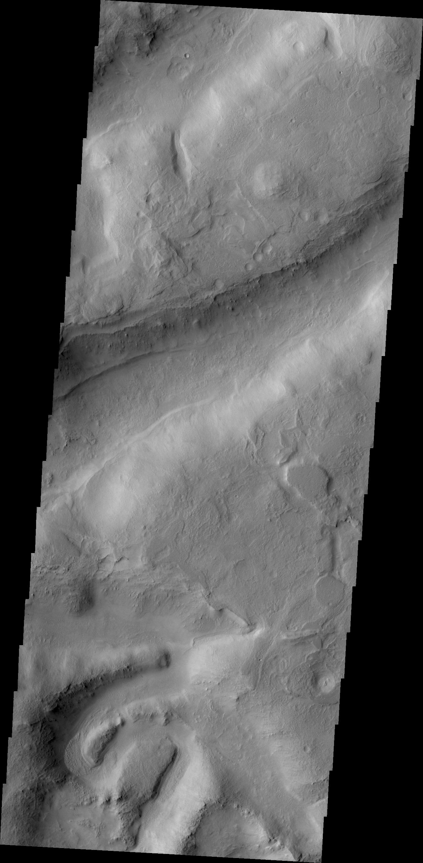
PIA13249:
Marte Vallis
Full Resolution:
TIFF
(3.73 MB)
JPEG
(582.3 kB)
2010-07-01
Mars
2001 Mars Odyssey
THEMIS
1110x2735x1
PIA13250:
Polar Winds
Full Resolution:
TIFF
(3.039 MB)
JPEG
(154.8 kB)
2010-07-02
Mars
2001 Mars Odyssey
THEMIS
1335x2770x1
PIA13251:
Echus Chasma
Full Resolution:
TIFF
(3.702 MB)
JPEG
(507.4 kB)
2010-07-05
Mars
2001 Mars Odyssey
THEMIS
1339x2767x1
PIA13252:
Ituxi Vallis
Full Resolution:
TIFF
(3.709 MB)
JPEG
(472.1 kB)
2010-07-06
Mars
2001 Mars Odyssey
THEMIS
1316x2923x1
PIA13253:
Oti Fossae
Full Resolution:
TIFF
(3.851 MB)
JPEG
(519.3 kB)
2010-07-07
Mars
Mars Reconnaissance Orbiter (MRO)
HiRISE
2560x1920x3
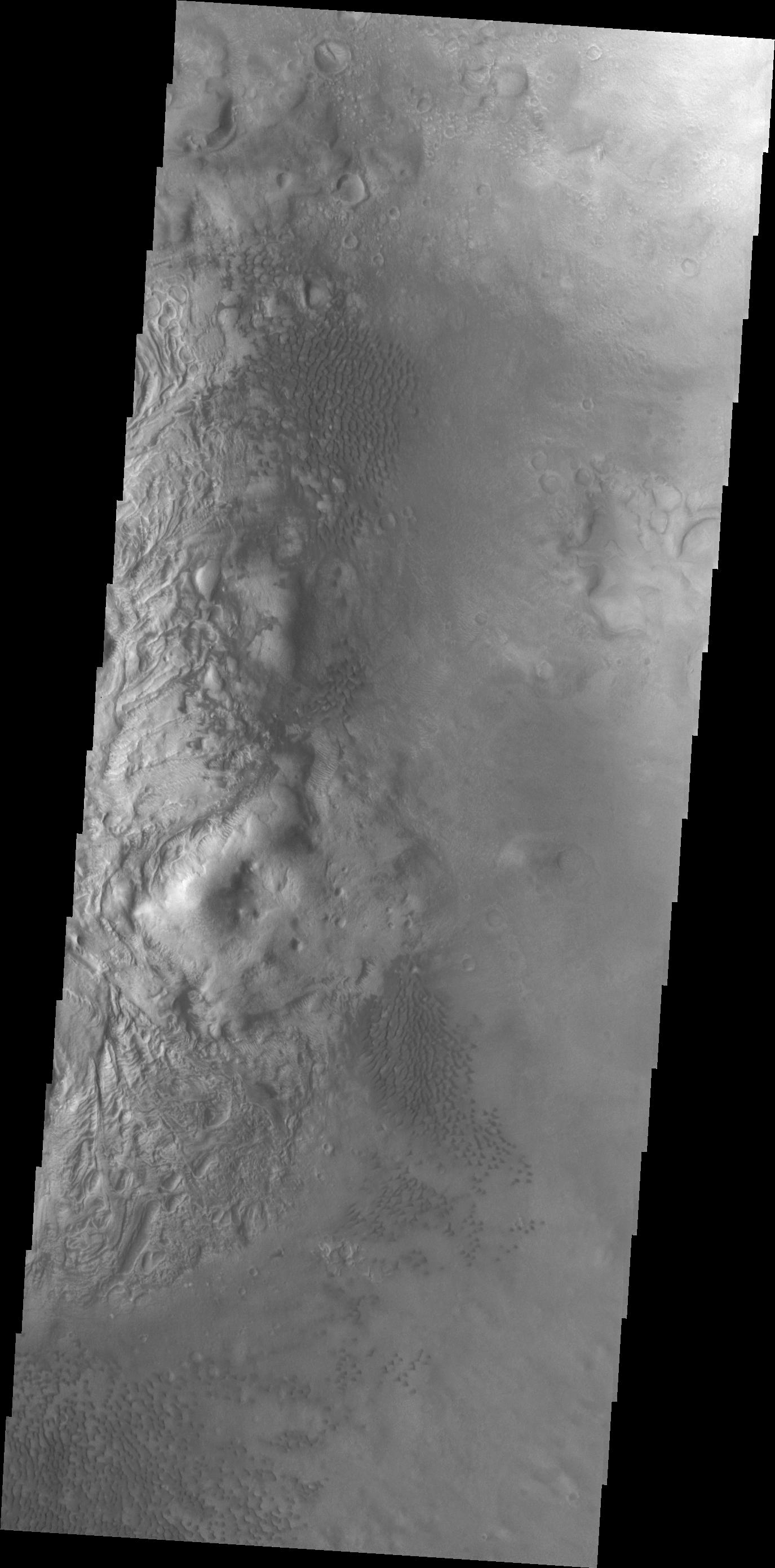
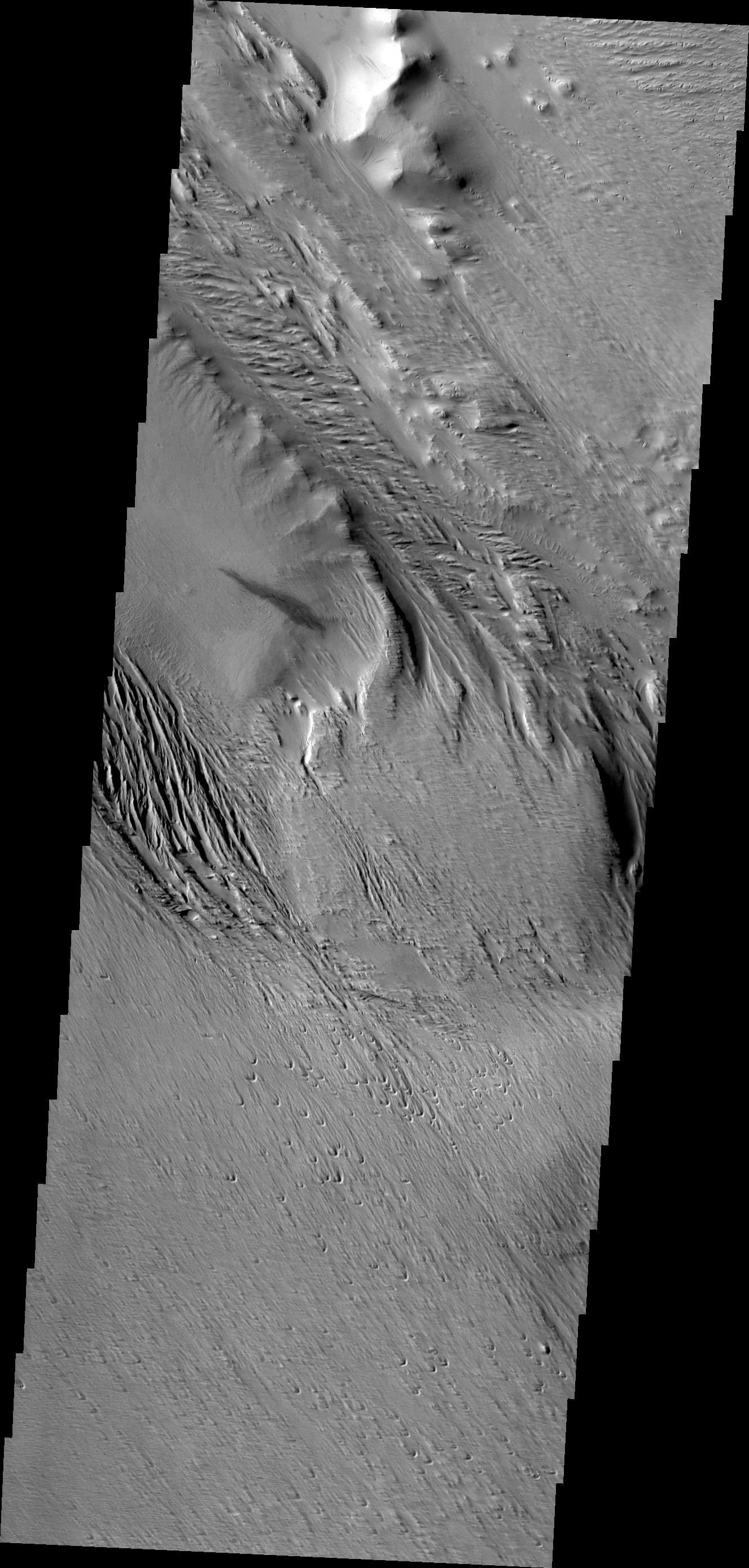
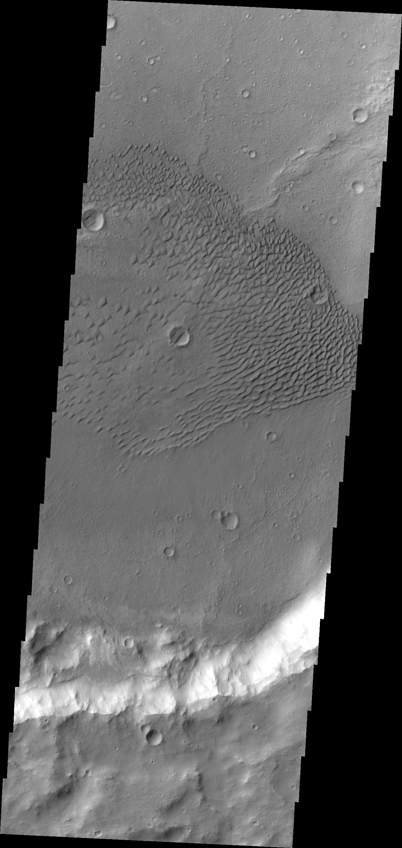
PIA13264:
Bouldery Deposit on Crater Floor
Full Resolution:
TIFF
(14.76 MB)
JPEG
(1.131 MB)
2010-07-07
Mars
Mars Reconnaissance Orbiter (MRO)
HiRISE
2560x1920x3
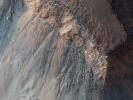
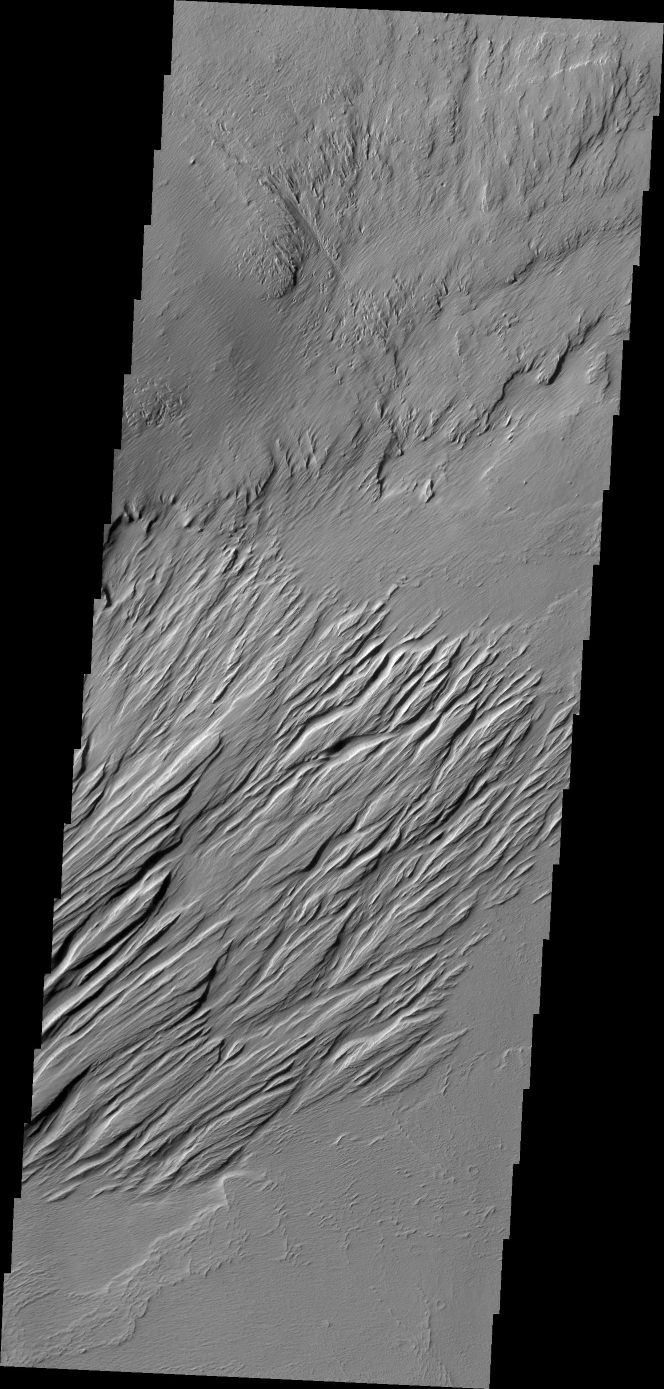
PIA13267:
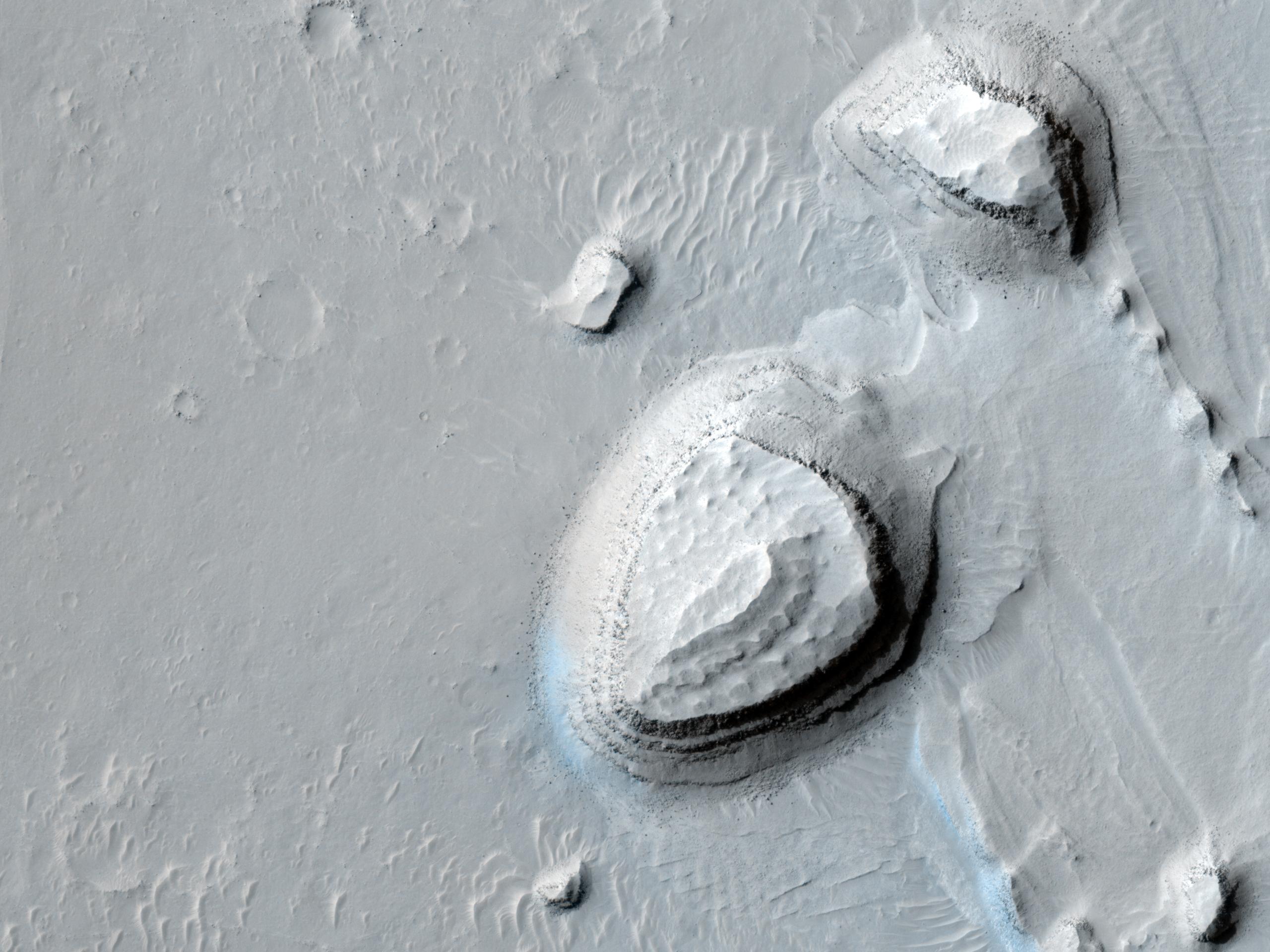
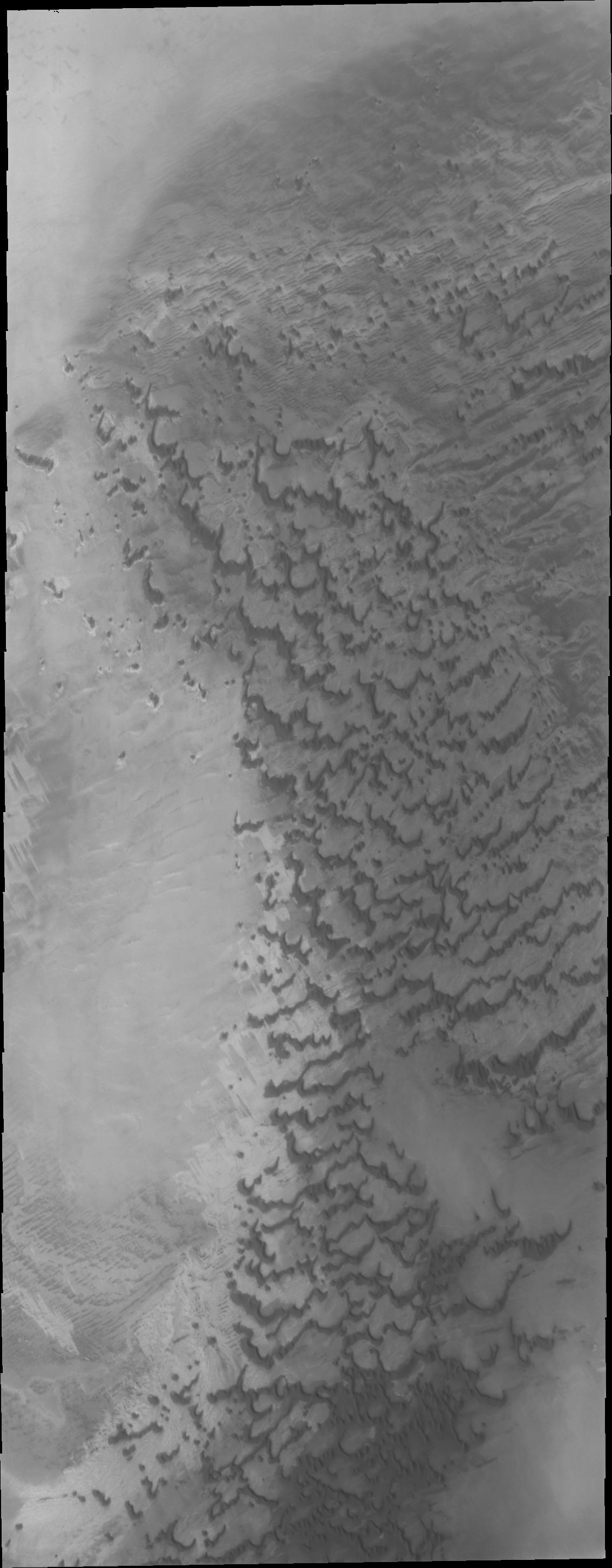
Gullies on Gorgonum Chaos Mesas
Full Resolution:
TIFF
(14.76 MB)
JPEG
(1.36 MB)
2010-07-07
Mars
2001 Mars Odyssey
THEMIS
1349x2769x1
PIA13254:
Chryse Chaos Landslides
Full Resolution:
TIFF
(3.739 MB)
JPEG
(252.5 kB)
2010-07-08
Mars
2001 Mars Odyssey
THEMIS
1347x2928x1
PIA13261:
Melas Chasma
Full Resolution:
TIFF
(3.948 MB)
JPEG
(421.4 kB)
2010-07-09
Mars
2001 Mars Odyssey
THEMIS
1343x2767x1
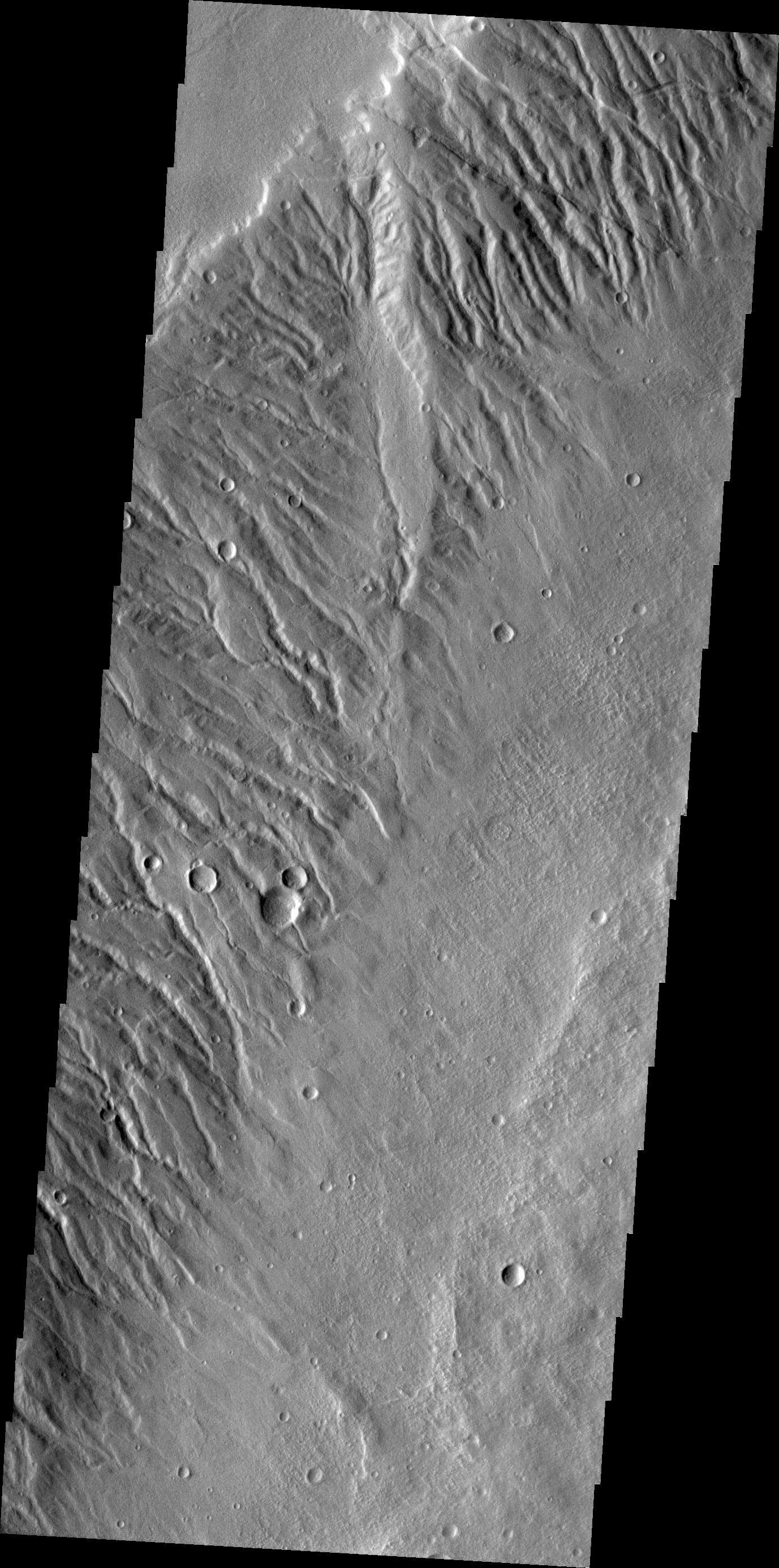
PIA13262:
Elysium Channels
Full Resolution:
TIFF
(3.72 MB)
JPEG
(520.1 kB)
2010-07-12
Mars
2001 Mars Odyssey
THEMIS
1395x2790x1
PIA13263:
Utopia Planitia
Full Resolution:
TIFF
(3.897 MB)
JPEG
(391.6 kB)
2010-07-13
Mars
Mars Reconnaissance Orbiter (MRO)
HiRISE
2560x1920x3
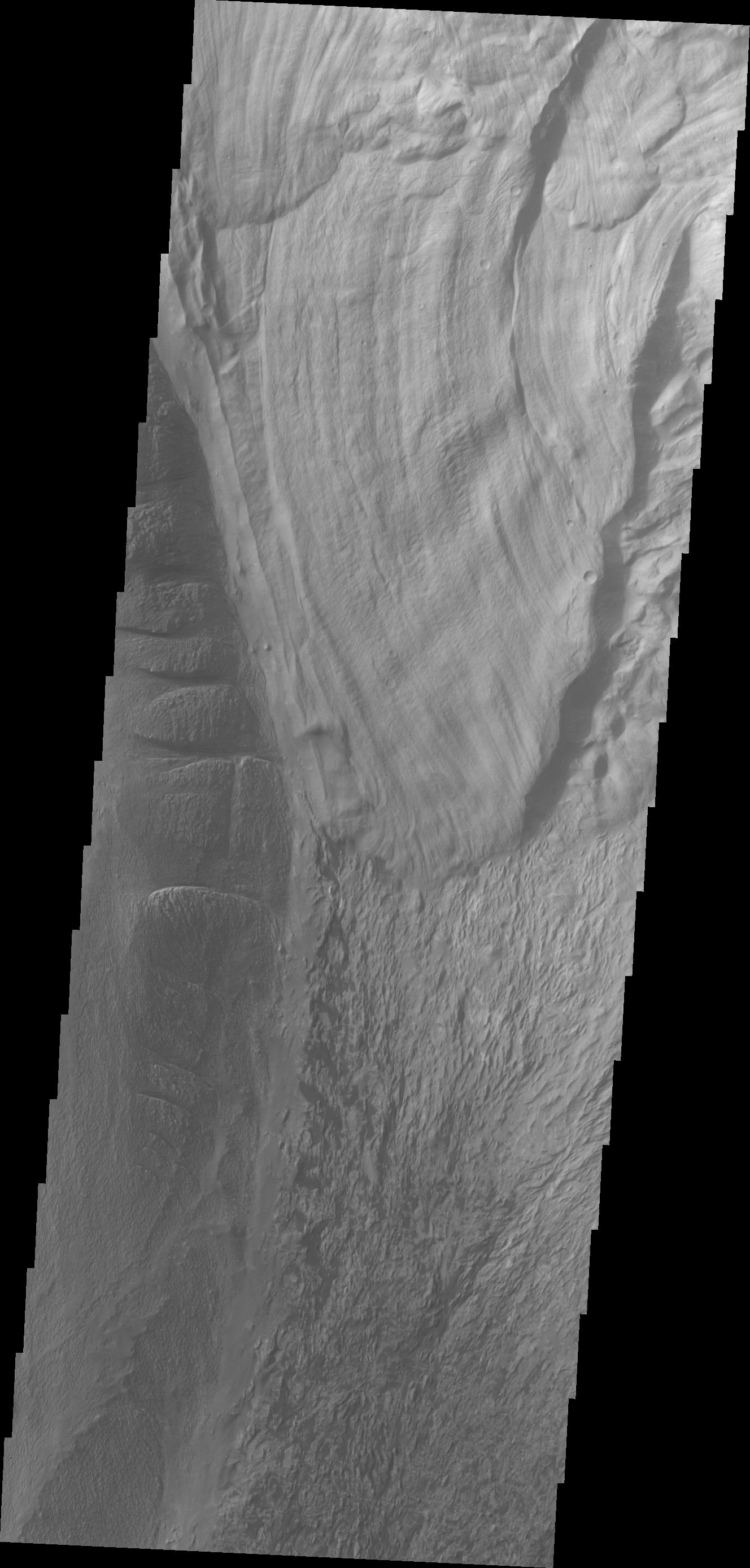
PIA13265:
(Almost) Silent Rolling Stones in Kasei Valles
Full Resolution:
TIFF
(14.76 MB)
JPEG
(952.1 kB)
2010-07-13
Mars
Mars Reconnaissance Orbiter (MRO)
HiRISE
2560x1920x3
PIA13266:
Light Outcrop on Crater Floor
Full Resolution:
TIFF
(14.76 MB)
JPEG
(649.9 kB)
2010-07-13
Mars
Mars Reconnaissance Orbiter (MRO)
HiRISE
2560x1920x3
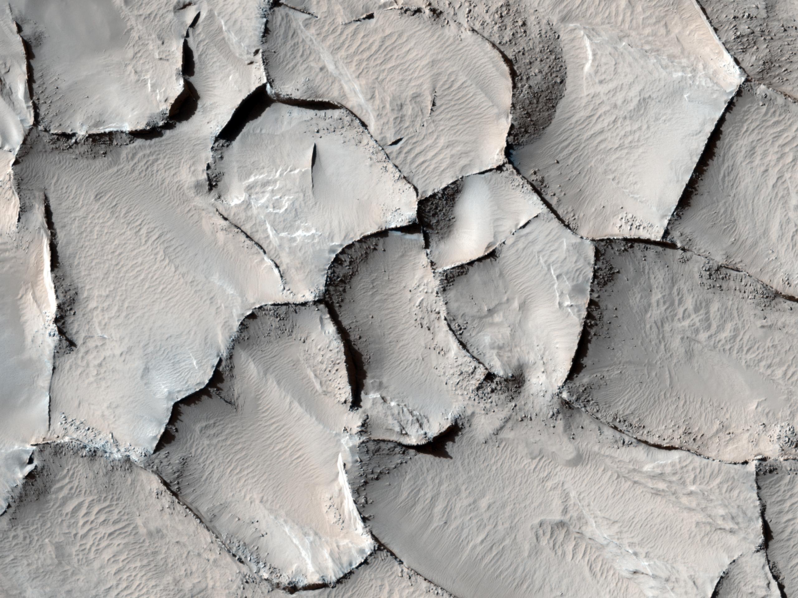
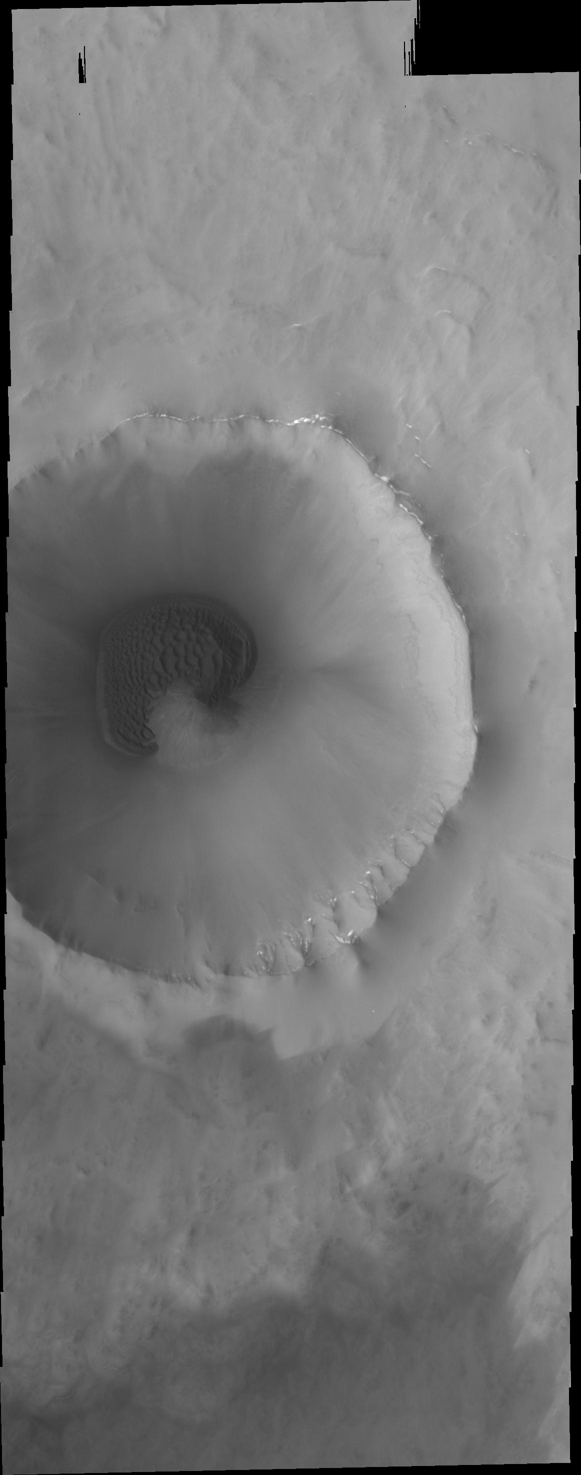
PIA13268:
Sand Dune Field in Richardson Crater
Full Resolution:
TIFF
(14.76 MB)
JPEG
(773.4 kB)
2010-07-13
Mars
Mars Reconnaissance Orbiter (MRO)
HiRISE
2560x1920x3
PIA13269:
South Polar Layered Deposits and Residual Cap
Full Resolution:
TIFF
(14.76 MB)
JPEG
(454.2 kB)
2010-07-13
Mars
2001 Mars Odyssey
THEMIS
1318x2777x1
PIA13274:
Dunes in Terra Cimmeria
Full Resolution:
TIFF
(3.664 MB)
JPEG
(370.4 kB)
2010-07-14
Mars
2001 Mars Odyssey
THEMIS
1335x2773x1
PIA13278:
Juventae Chasma
Full Resolution:
TIFF
(3.706 MB)
JPEG
(202.7 kB)
2010-07-15
Mars
2001 Mars Odyssey
THEMIS
1341x2925x1
PIA13279:
Ganges Chasma
Full Resolution:
TIFF
(3.927 MB)
JPEG
(239.9 kB)
2010-07-16
Mars
2001 Mars Odyssey
THEMIS
1299x2932x1
PIA13280:
Daedalia Planum
Full Resolution:
TIFF
(3.813 MB)
JPEG
(589.9 kB)
2010-07-19
Mars
2001 Mars Odyssey
THEMIS
1339x2772x1
PIA13284:
Wind Effects
Full Resolution:
TIFF
(3.716 MB)
JPEG
(443.9 kB)
2010-07-20
Mars
2001 Mars Odyssey
THEMIS
1357x2770x1
PIA13285:
Nili Fossae
Full Resolution:
TIFF
(3.763 MB)
JPEG
(290.6 kB)
2010-07-21
Mars
2001 Mars Odyssey
THEMIS
1119x2725x3
PIA13286:
Polar Layers
Full Resolution:
TIFF
(3.053 MB)
JPEG
(148.2 kB)
2010-07-22
Mars
2001 Mars Odyssey
THEMIS
1121x2732x1
PIA13291:
Polar Dunes
Full Resolution:
TIFF
(3.066 MB)
JPEG
(171.1 kB)
2010-07-23
Mars
2001 Mars Odyssey
THEMIS
1162x2948x1
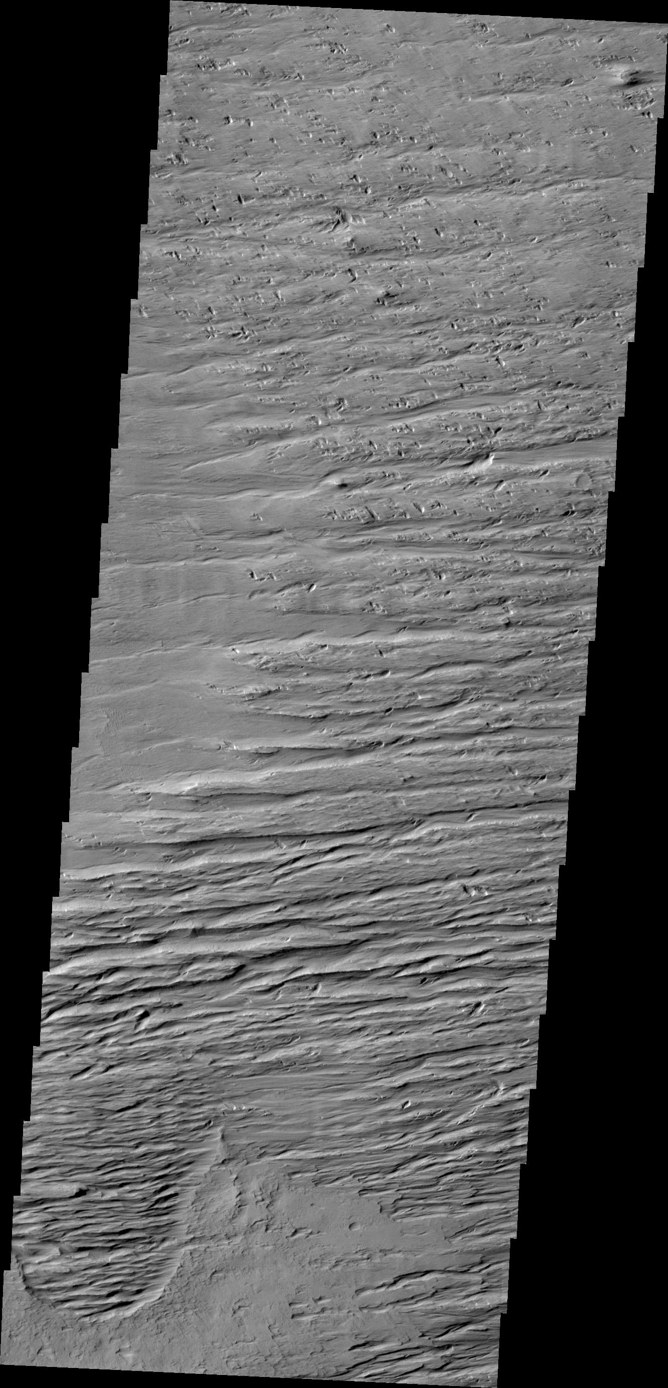
PIA13297:
Dunes
Full Resolution:
TIFF
(3.429 MB)
JPEG
(147.9 kB)
2010-07-26
Mars
2001 Mars Odyssey
THEMIS
1331x2767x1
PIA13298:
Dark Slope Streaks
Full Resolution:
TIFF
(3.687 MB)
JPEG
(270.2 kB)
2010-07-27
Mars
2001 Mars Odyssey
THEMIS
1317x2779x1
PIA13299:
Sand Dunes
Full Resolution:
TIFF
(3.664 MB)
JPEG
(314.3 kB)
2010-07-28
Mars
2001 Mars Odyssey
THEMIS
1134x2904x1
PIA13300:
Polar Dunes
Full Resolution:
TIFF
(3.297 MB)
JPEG
(234.4 kB)
1-100
101-200
201-300
301-400
401-500
501-600
601-700
701-800
801-900
901-1000
Currently displaying images:
6501 - 6600
of 12755


