Your search criteria found
12748
images
Target is Mars (and available satellites)
Go to PIAxxxxx:
Refine this list of images by:
Target:
Deimos
Mars
Phobos
Mission:
2001 Mars Odyssey
Antarctic Meteorite Location and Mapping Project (AMLAMP)
Dawn
ExoMars
Hubble Space Telescope
InSight
MAVEN
Mariner Mars 1964 (Mariner 4)
Mariner Mars 1969 (Mariner 7)
Mariner Mars 1971 (Mariner 9)
Mars 2020
Mars 2020 Rover
Mars Atmosphere and Volatile Evolution MissioN (MAVEN)
Mars Climate Orbiter
Mars Cube One (MarCO)
Mars Exploration Rover (MER)
Mars Express (MEX)
Mars Global Surveyor (MGS)
Mars Helicopter
Mars Pathfinder (MPF)
Mars Reconnaissance Orbiter (MRO)
Mars Sample Return
Mars Sample Return (MSR)
Mars Science Laboratory (MSL)
Phoenix
Rosetta
Viking
Spacecraft:
2001 Mars Odyssey
Curiosity
Dawn
InSight Mars Lander
Ingenuity
MAVEN
MarCO-B
Mariner 4
Mariner 7
Mariner 9
Mars Climate Orbiter
Mars Express (MEX)
Mars Express (MEX) Orbiter
Mars Global Surveyor Orbiter
Mars Pathfinder Lander
Mars Pathfinder Rover
Mars Reconnaissance Orbiter (MRO)
Mars Sample Return
Mars Science Laboratory (MSL)
NASA's Mars Pathfinder Lander
Opportunity
Perseverance
Philae Lander
Phoenix Lander
Phoenix Mars Lander
Spirit
Viking Lander 1
Viking Lander 2
Viking Orbiter 1
Viking Orbiter 2
Instrument:
Alpha Particle X-ray Spectrometer
Alpha Particle X-ray Spectrometer (MSL)
Atmospheric Structure / Meteorology Instrument
CHIMRA
Camera 1
Camera 2
Chemistry & Mineralogy (CheMin)
Chemistry and Camera (ChemCam)
Comet Infrared and Visible Analyser (CIVA
Compact Reconnaissance Imaging Spectrometer for Mars (CRISM)
Context Camera (CTX)
Deep Space Network
Descent Image Motion Estimation System (DIMES)
Dynamic Albedo of Neutrons
Dynamic Albedo of Neutrons (DAN)
Gamma Ray Spectrometer - Neutron Spectrometer
Gamma Ray Spectrometer Suite
Hazard Avoidance Camera
Hazard Avoidance Camera (M2020)
Hazard Avoidance Camera (MSL)
Heat and Physical Properties Package (HP3)
High Resolution Imaging Science Experiment (HiRISE)
High Resolution Instrument (HRI)
High Resolution Stereo Camera
Imager for Mars Pathfinder
Imaging Ultraviolet Spectrograph
Imaging Ultraviolet Spectrograph (IUVS)
Instrument Context Camera (ICC)
Instrument Deployment Camera (IDC)
Lander Vision System Camera (LCAM)
Magnetometer
Mars Advanced Radar for Subsurface and Ionosphere Sounding (MARSIS)
Mars Advanced Radar for Subsurface and Ionospheric Sounding (MARSIS)
Mars Climate Sounder (MCS)
Mars Color Imager (MARCI)
Mars Descent Imager
Mars Environmental Dynamics Analyzer (MEDA)
Mars Hand Lens Imager (MAHLI)
Mars Horizon Sensor Assembly
Mars Orbiter Camera (MOC)
Mars Orbiter Laser Altimeter
Mars Radiation Experiment
Mastcam
Mastcam-Z
Microscopic Imager
Microscopy Electrochemistry and Conductivity Analyzer (MECA)
Miniature Thermal Emission Spectrometer
Moessbauer Spectrometer
Navigation Camera
Navigation Camera (M2020)
Navigation Camera (MSL)
Neutral Gas and Ion Mass Spectrometer
Neutron Spectrometer
Optical Microscope
Optical Navigation Camera
Panoramic Camera
Planetary Instrument for X-ray Lithochemistry (PIXL)
Radar System
Radiation Assessment Detector (RAD)
Radio Science Subsystem
Robotic Arm
Robotic Arm (MSL)
Robotic Arm Camera (RAC)
Rock Abrasion Tool (RAT)
Rover Cameras
Rover Environmental Monitoring Station (REMS)
Sample Analysis at Mars (SAM)
Scanning Habitable Environments with Raman & Luminescence for Organics and Chemicals (SHERLOC)
Seismic Experiment for Interior Structure (SEIS)
Shallow Subsurface Radar (SHARAD)
Stereo Imager (SSI)
SuperCam
Surface Stereo Imager (SSI)
Thermal Emission Imaging System
Thermal Emission Spectrometer
Thermal and Electrical Conductivity Probe
Thermal and Evolved Gas Analyzer
Trace Gas Orbiter
Visual Imaging Subsystem
Visual Imaging Subsystem - Camera A
Visual Imaging Subsystem - Camera B
Wide Field Planetary Camera 2
Click on an image for detailed information
Click on a column heading to sort in ascending or descending order
My
List
Addition Date
Target
Mission
Instrument
Size
2005-03-09
Mars
Mars Exploration Rover (MER)
Navigation Camera
6000x6000x1
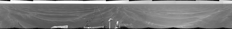
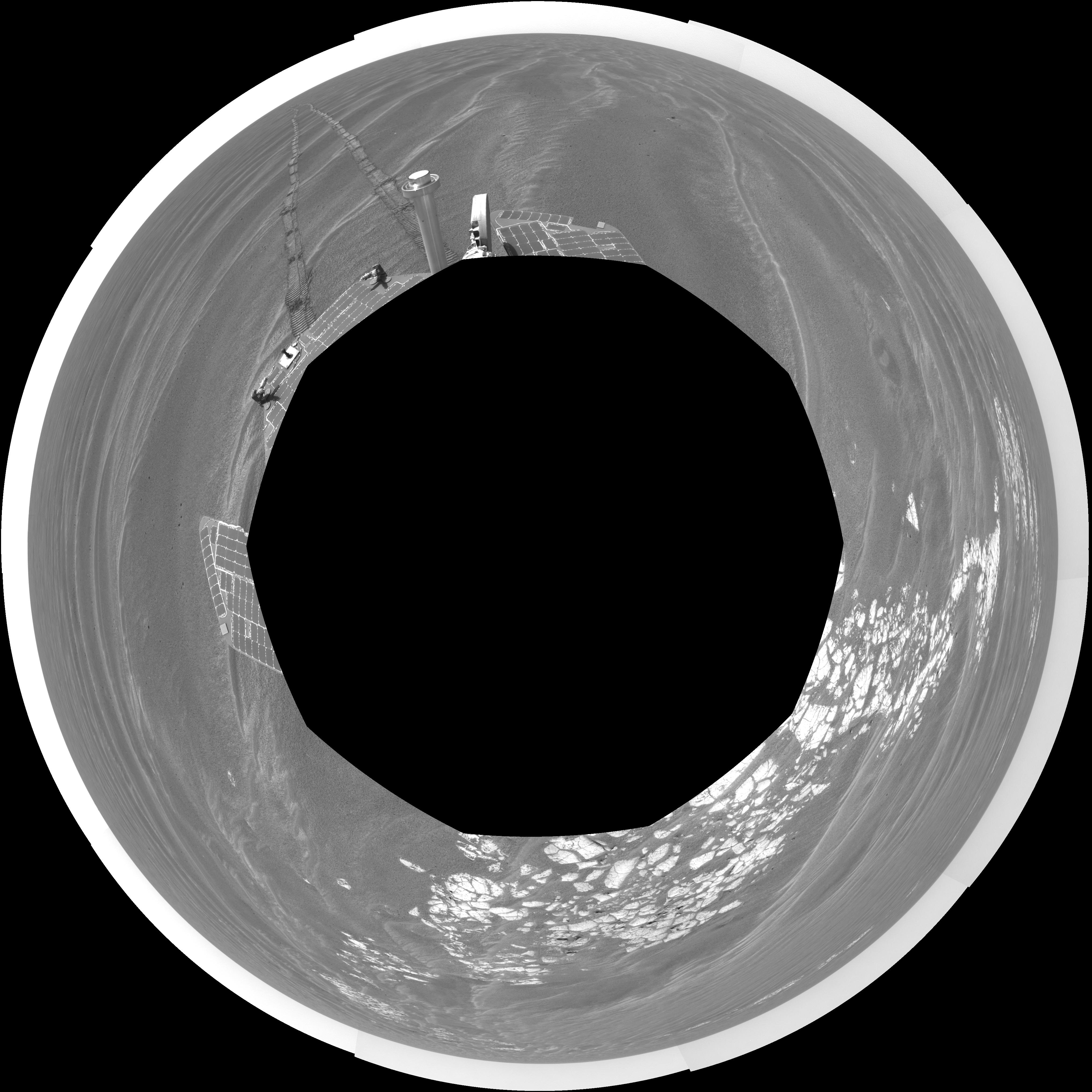
PIA07447:
Opportunity's View, Sol 381 (Vertical)
Full Resolution:
TIFF
(20.03 MB)
JPEG
(1.965 MB)
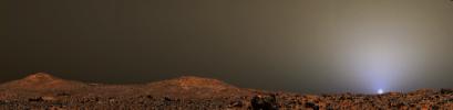
2005-03-09
Mars
Mars Exploration Rover (MER)
Navigation Camera
256x256x2091
PIA07448:
Spirit Drive Animation, Sols 365 to 390
Full Resolution:
TIFF
(65.83 kB)
JPEG
(12.4 kB)
2005-03-10
Mars
2001 Mars Odyssey
THEMIS
1412x3228x1
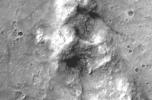
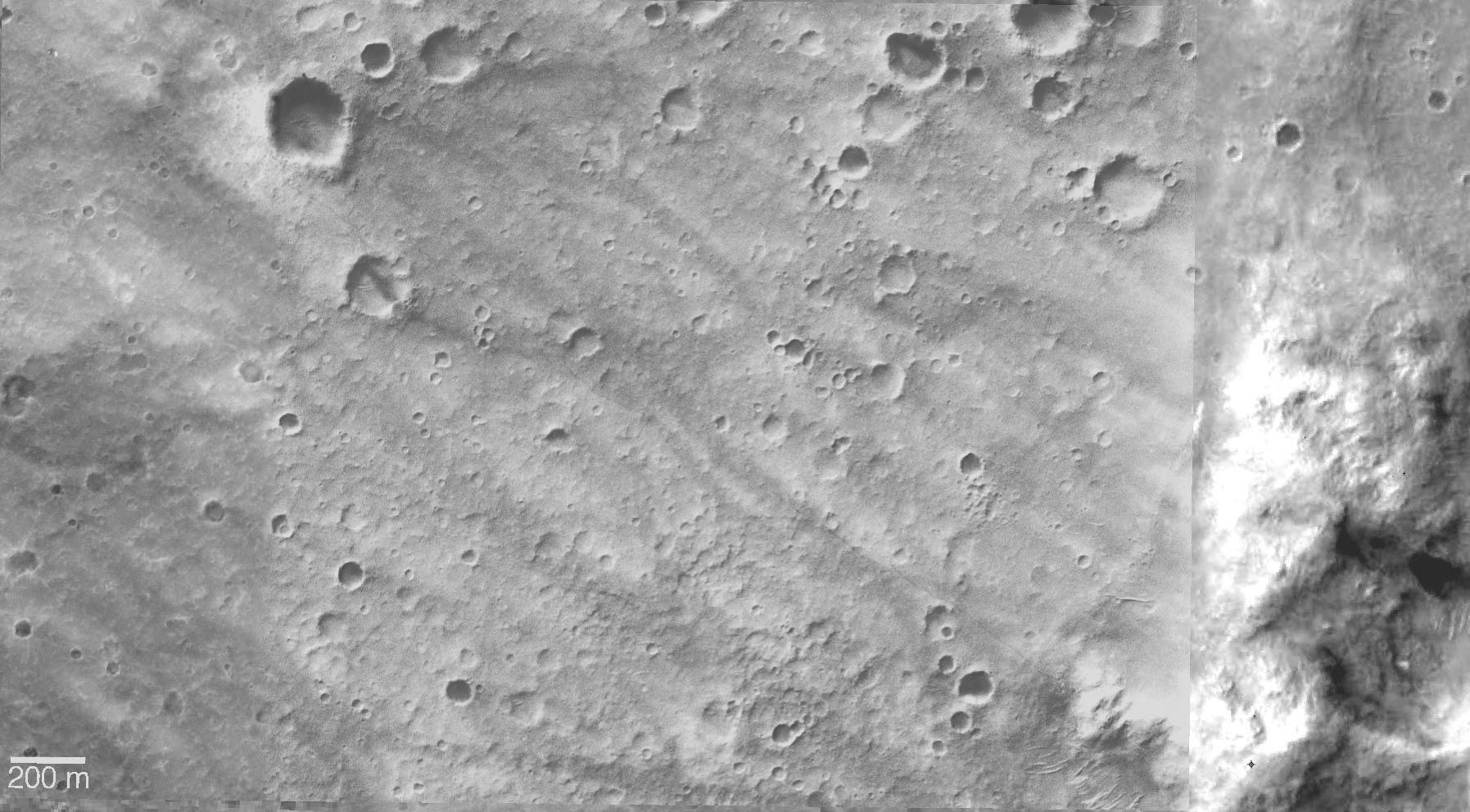
PIA07452:
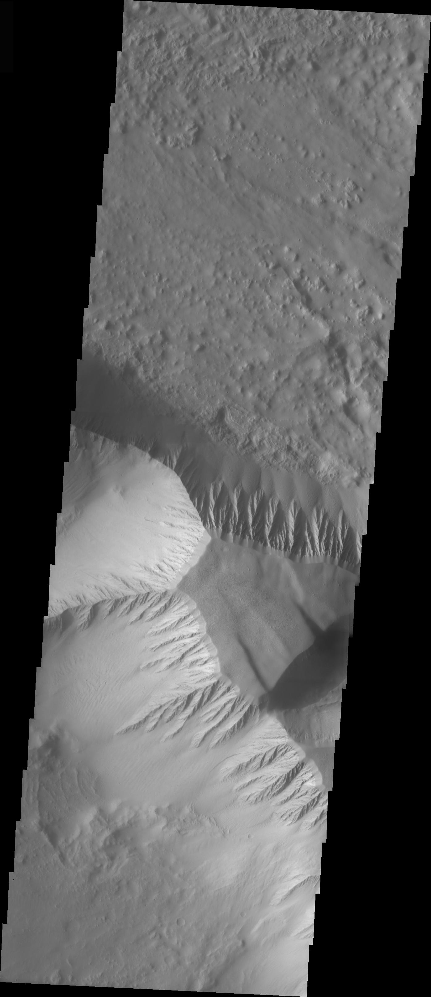
Deuteronlius Mensae Central Peak
Full Resolution:
TIFF
(3.495 MB)
JPEG
(427.1 kB)
2005-03-10
Mars
Mars Global Surveyor (MGS)
Mars Orbiter Camera (MOC)
836x1288x1
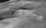
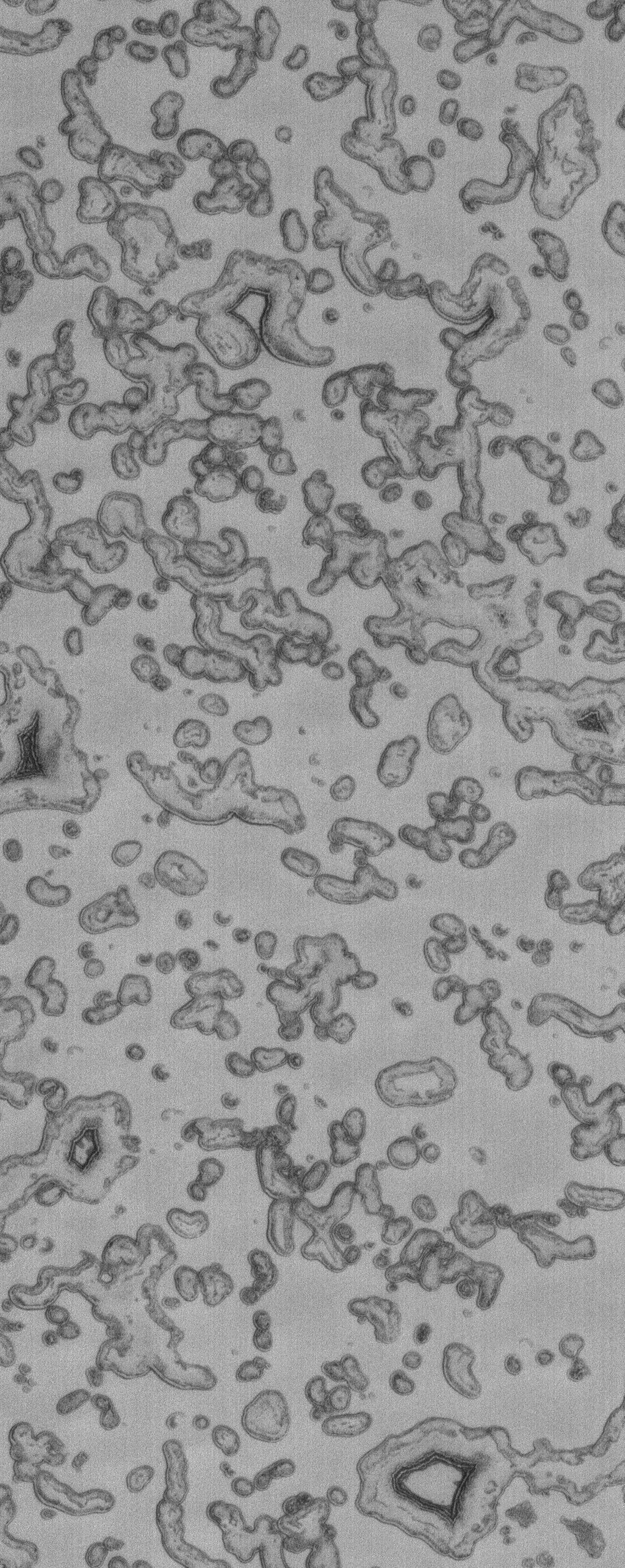
PIA07450:
Collapse Features
Full Resolution:
TIFF
(1.033 MB)
JPEG
(157.6 kB)
2005-03-11
Mars
Mars Pathfinder (MPF)
Imager for Mars Pathfinder
920x225x3
PIA07453:
Sunset on Mars from Pathfinder Images
Full Resolution:
TIFF
(489.5 kB)
JPEG
(16.43 kB)
2005-03-11
Mars
Mars Global Surveyor (MGS)
Mars Orbiter Camera (MOC)
640x1550x1
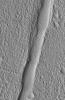
PIA07454:
Meridiani Valleys
Full Resolution:
TIFF
(993.3 kB)
JPEG
(173.3 kB)
2005-03-11
Mars
2001 Mars Odyssey
THEMIS
1388x3056x1
PIA07455:
Mensa in Kasei Vallis
Full Resolution:
TIFF
(2.38 MB)
JPEG
(218.1 kB)
2005-03-12
Mars
Mars Global Surveyor (MGS)
Mars Orbiter Camera (MOC)
836x1532x1
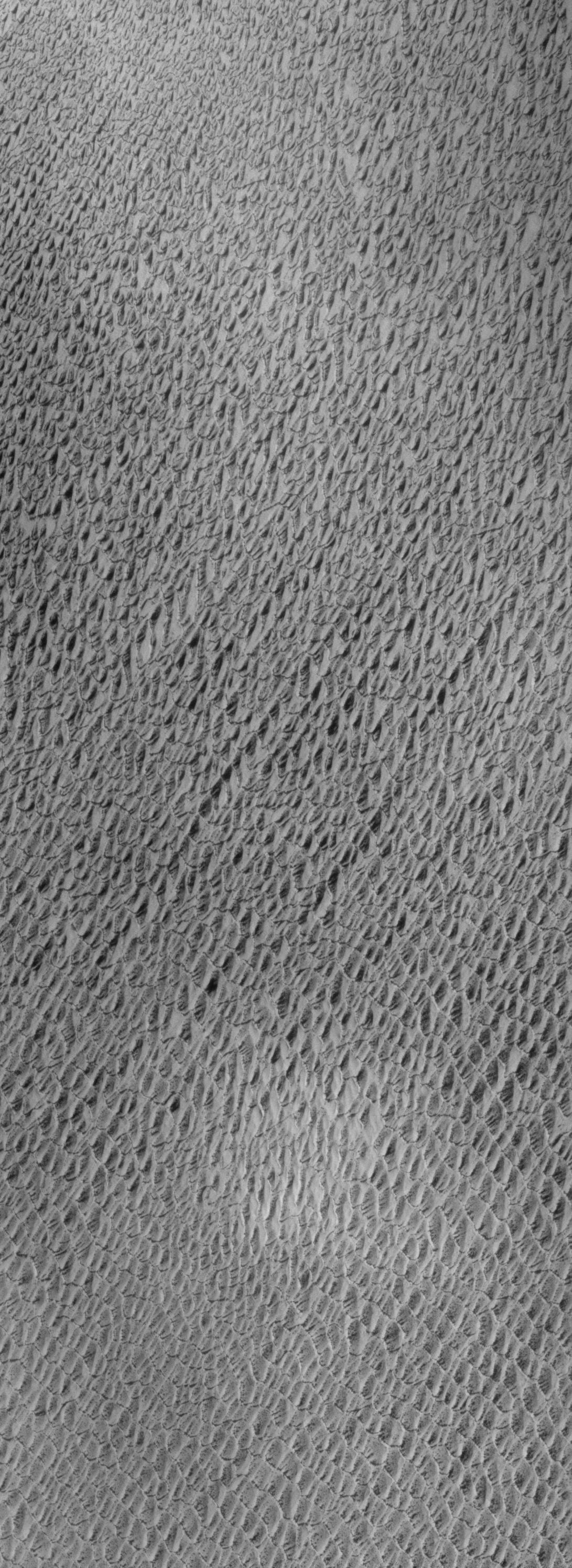
PIA07472:
Eumenides Dorsum Yardangs
Full Resolution:
TIFF
(1.052 MB)
JPEG
(247.1 kB)
2005-03-13
Mars
Mars Global Surveyor (MGS)
Mars Orbiter Camera (MOC)
836x1289x1
PIA07473:
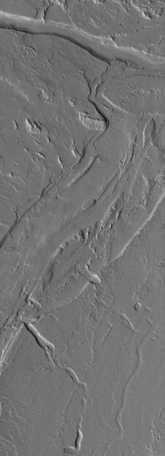
Exhumed Flows
Full Resolution:
TIFF
(874.5 kB)
JPEG
(211.1 kB)
2005-03-14
Mars
Mars Global Surveyor (MGS)
Mars Orbiter Camera (MOC)
836x1881x1
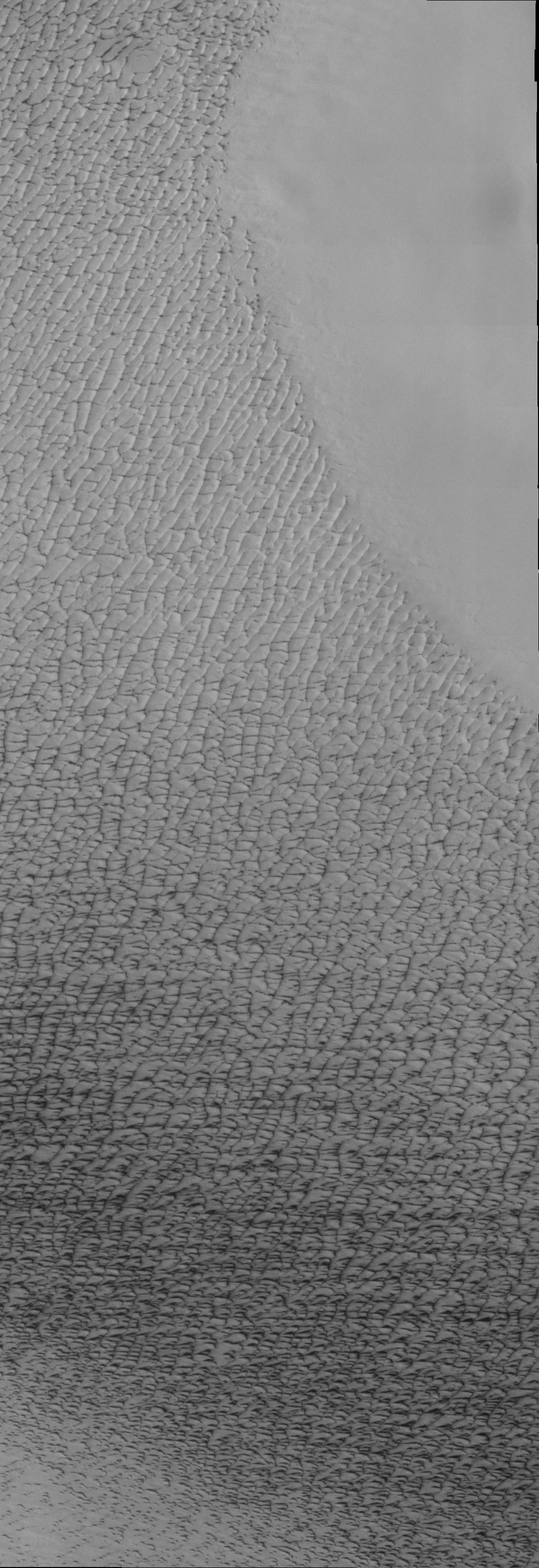
PIA07474:
North Polar Dunes
Full Resolution:
TIFF
(1.223 MB)
JPEG
(224.5 kB)
2005-03-14
Mars
2001 Mars Odyssey
THEMIS
1408x2925x1
PIA07484:
Eos Chasma Mensa
Full Resolution:
TIFF
(2.865 MB)
JPEG
(265.9 kB)
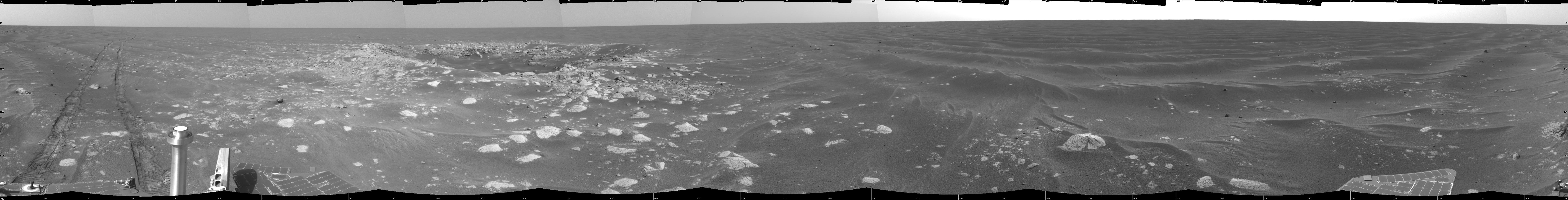
2005-03-15
Mars
Mars Exploration Rover (MER)
Navigation Camera
1979x535x1
PIA07457:
Spirit Captures Two Dust Devils On the Move
Full Resolution:
TIFF
(588.7 kB)
JPEG
(74.04 kB)
2005-03-15
Mars
Mars Exploration Rover (MER)
Hazcam
2530x1002x1
PIA07458:
Dust Devils Seen by Spirit
Full Resolution:
TIFF
(1.652 MB)
JPEG
(236.6 kB)
2005-03-15
Mars
Mars Global Surveyor (MGS)
Mars Orbiter Camera (MOC)
640x640x3
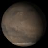
PIA07475:
Mars at Ls 176�: Syrtis Major
Full Resolution:
TIFF
(1.232 MB)
JPEG
(43.31 kB)
2005-03-15
Mars
2001 Mars Odyssey
THEMIS
1395x3222x1
PIA07485:
Olympus Mons Mensa
Full Resolution:
TIFF
(2.867 MB)
JPEG
(244.1 kB)
2005-03-16
Mars
Mars Global Surveyor (MGS)
Mars Orbiter Camera (MOC)
836x1251x1
PIA07476:
Sirenum Troughs
Full Resolution:
TIFF
(892.4 kB)
JPEG
(100.3 kB)
2005-03-16
Mars
2001 Mars Odyssey
THEMIS
1372x3061x1
PIA07486:
Shabatana Vallis Chaos
Full Resolution:
TIFF
(2.922 MB)
JPEG
(262.7 kB)
2005-03-17
Mars
2001 Mars Odyssey
THEMIS
1353x4503x1
PIA07487:
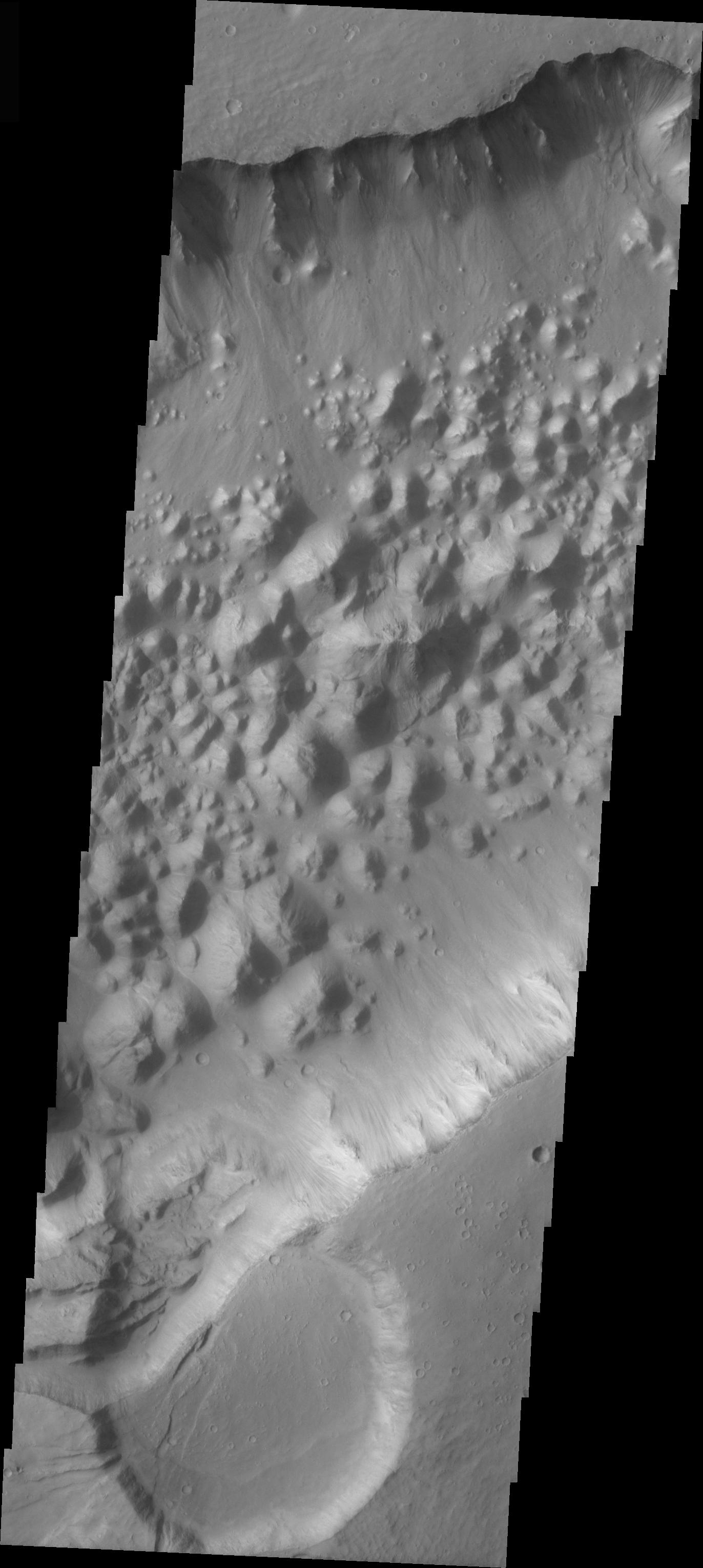
Hydraotes Chaos
Full Resolution:
TIFF
(2.236 MB)
JPEG
(199.8 kB)
2005-03-17
Mars
Mars Exploration Rover (MER)
Navigation Camera
7688x974x1
PIA07460:
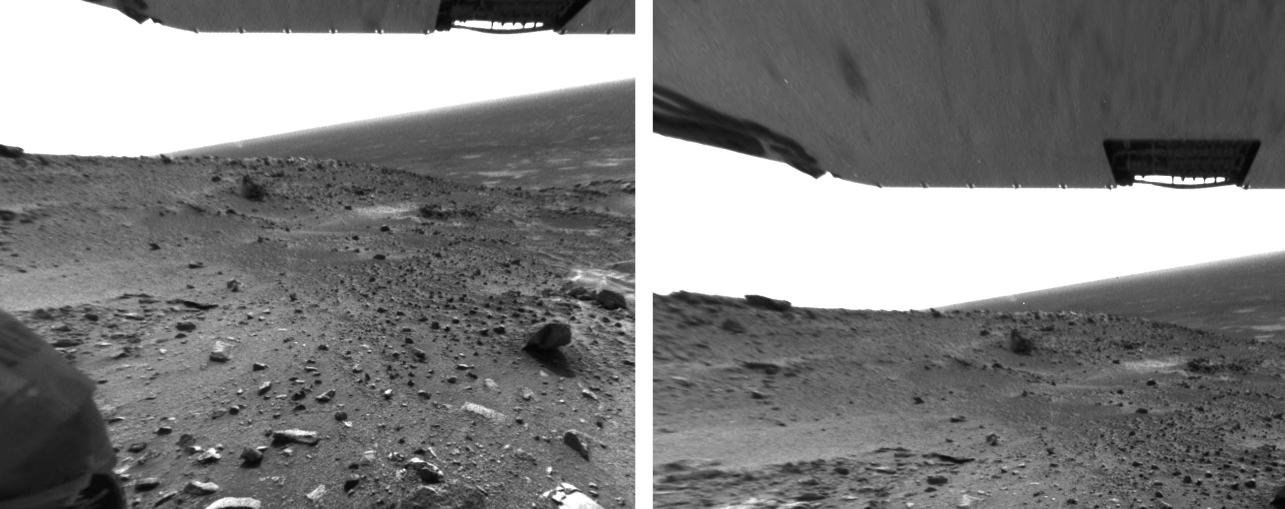
Opportunity View on Sol 397
Full Resolution:
TIFF
(5.433 MB)
JPEG
(874.2 kB)
2005-03-17
Mars
Mars Exploration Rover (MER)
Navigation Camera
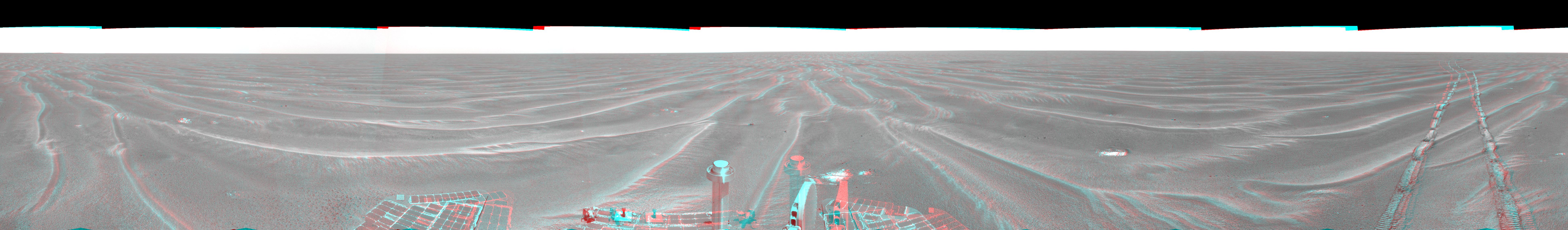
7753x1136x3
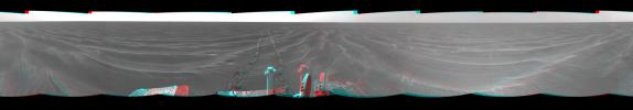
PIA07461:
Opportunity View on Sol 397 (3-D)
Full Resolution:
TIFF
(15.77 MB)
JPEG
(904 kB)
2005-03-17
Mars
Mars Exploration Rover (MER)
Navigation Camera
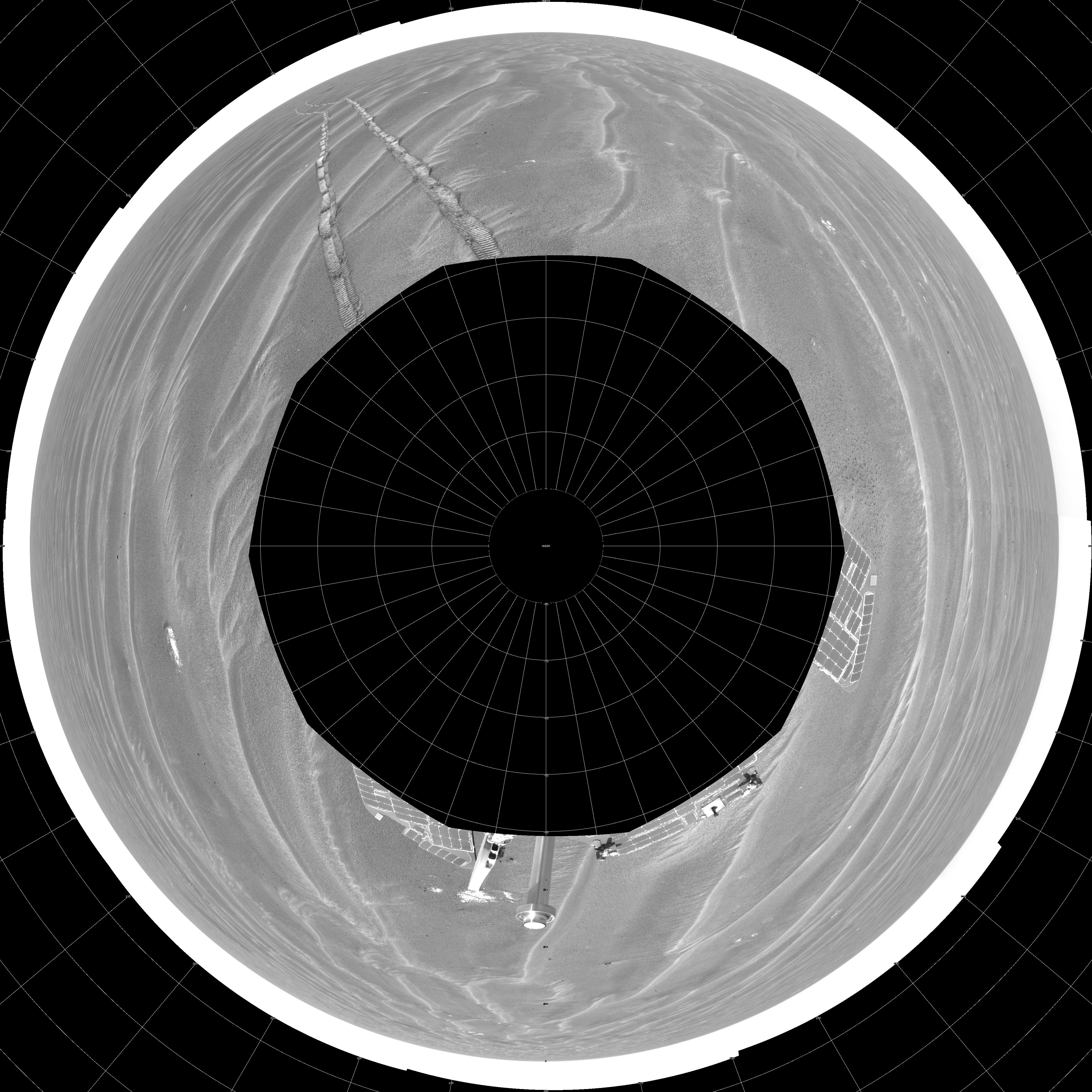
4085x4085x1
PIA07462:
Opportunity View on Sol 397 (polar)
Full Resolution:
TIFF
(7.921 MB)
JPEG
(1.565 MB)
2005-03-17
Mars
Mars Exploration Rover (MER)
Navigation Camera
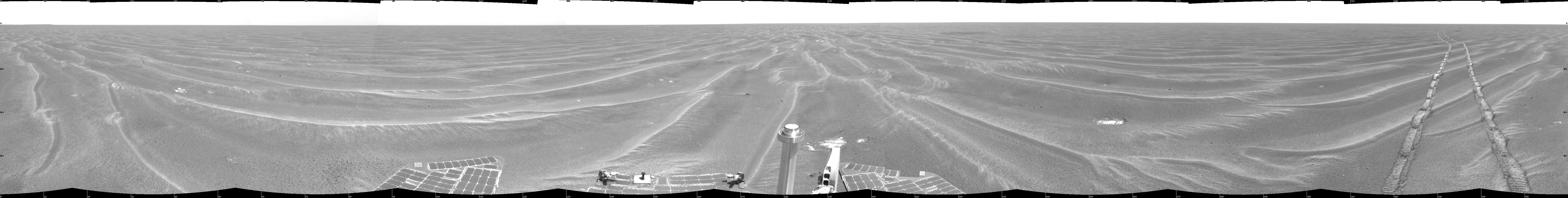
6000x6000x1
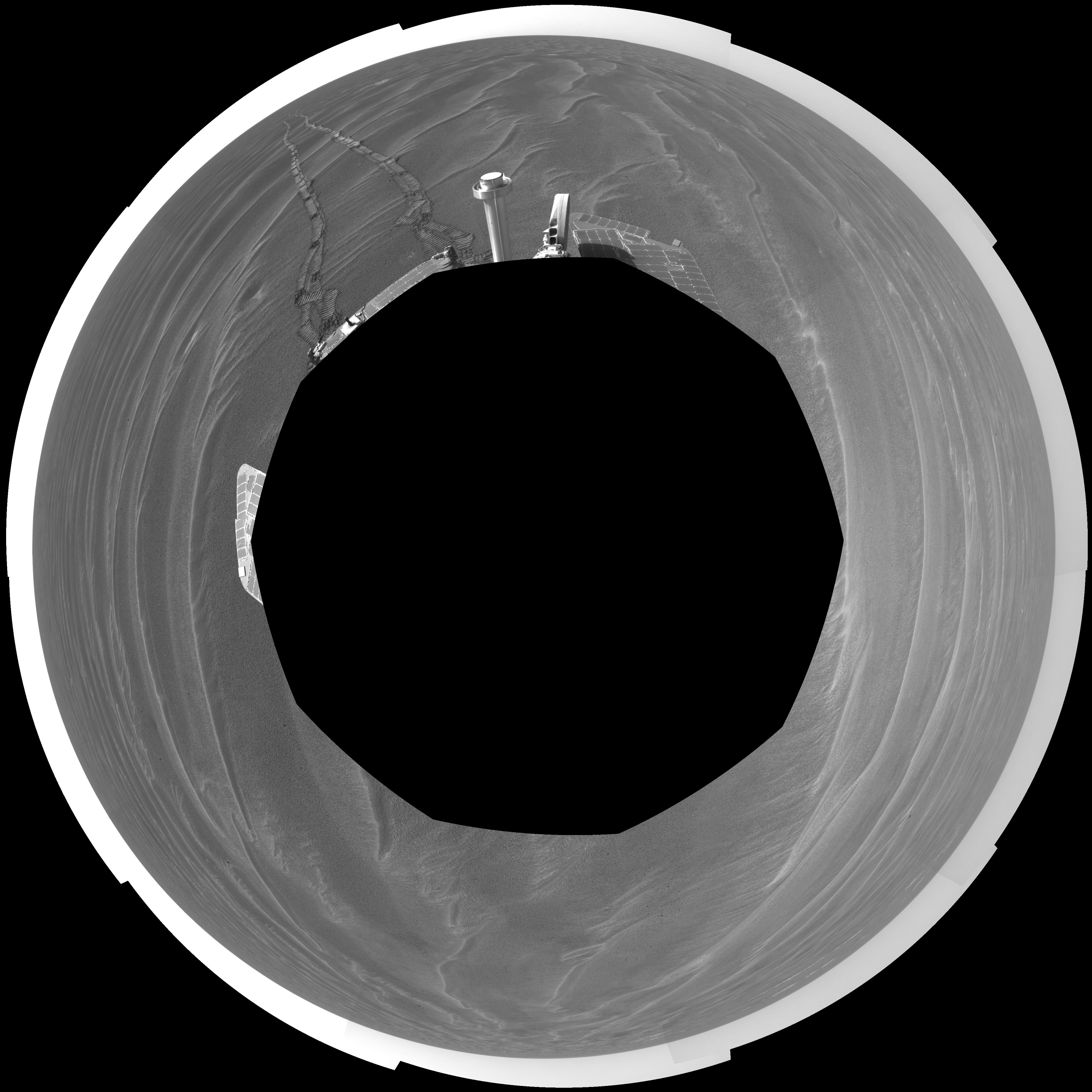
PIA07463:
Opportunity View on Sol 397 (vertical)
Full Resolution:
TIFF
(21.13 MB)
JPEG
(2.088 MB)
2005-03-17
Mars
Mars Exploration Rover (MER)
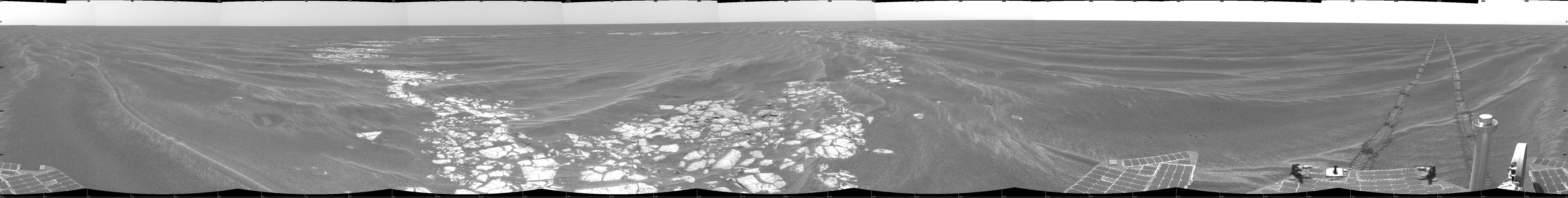
Navigation Camera
7688x986x1
PIA07464:
Opportunity View on Sol 398
Full Resolution:
TIFF
(5.584 MB)
JPEG
(775.9 kB)
2005-03-17
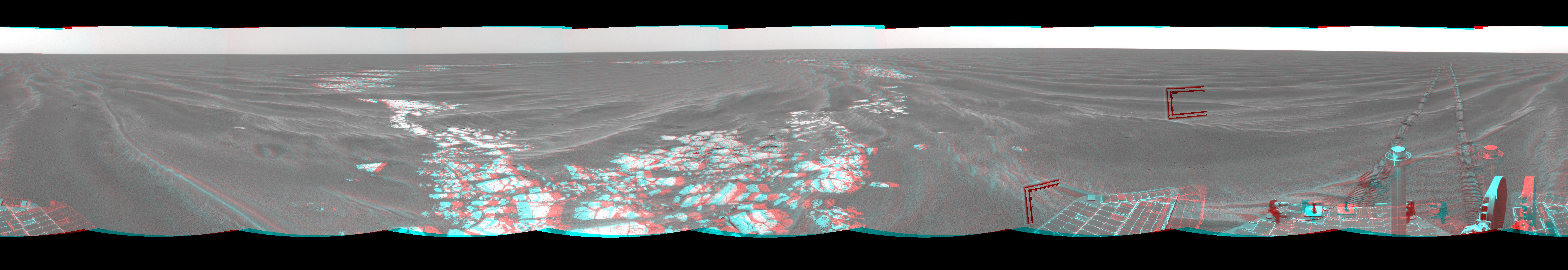
Mars
Mars Exploration Rover (MER)
Navigation Camera
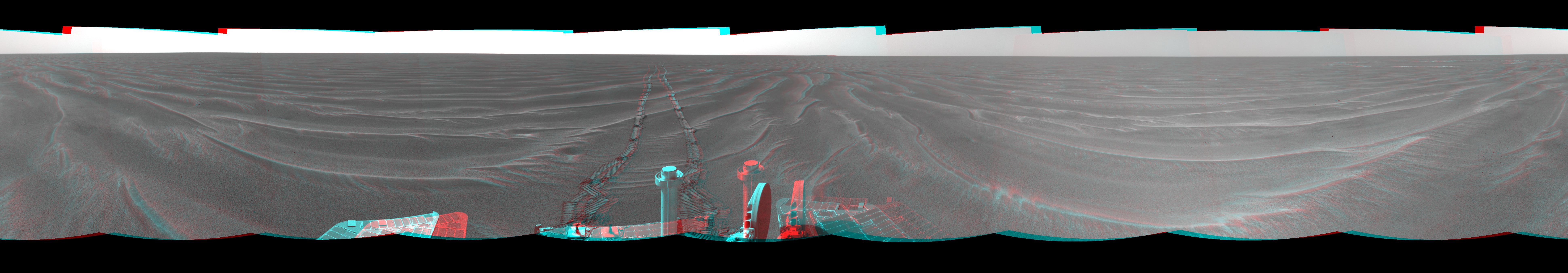
7753x1350x3
PIA07465:
Opportunity View on Sol 398 (3-D)
Full Resolution:
TIFF
(16.66 MB)
JPEG
(874.1 kB)
2005-03-17
Mars
Mars Exploration Rover (MER)
Navigation Camera
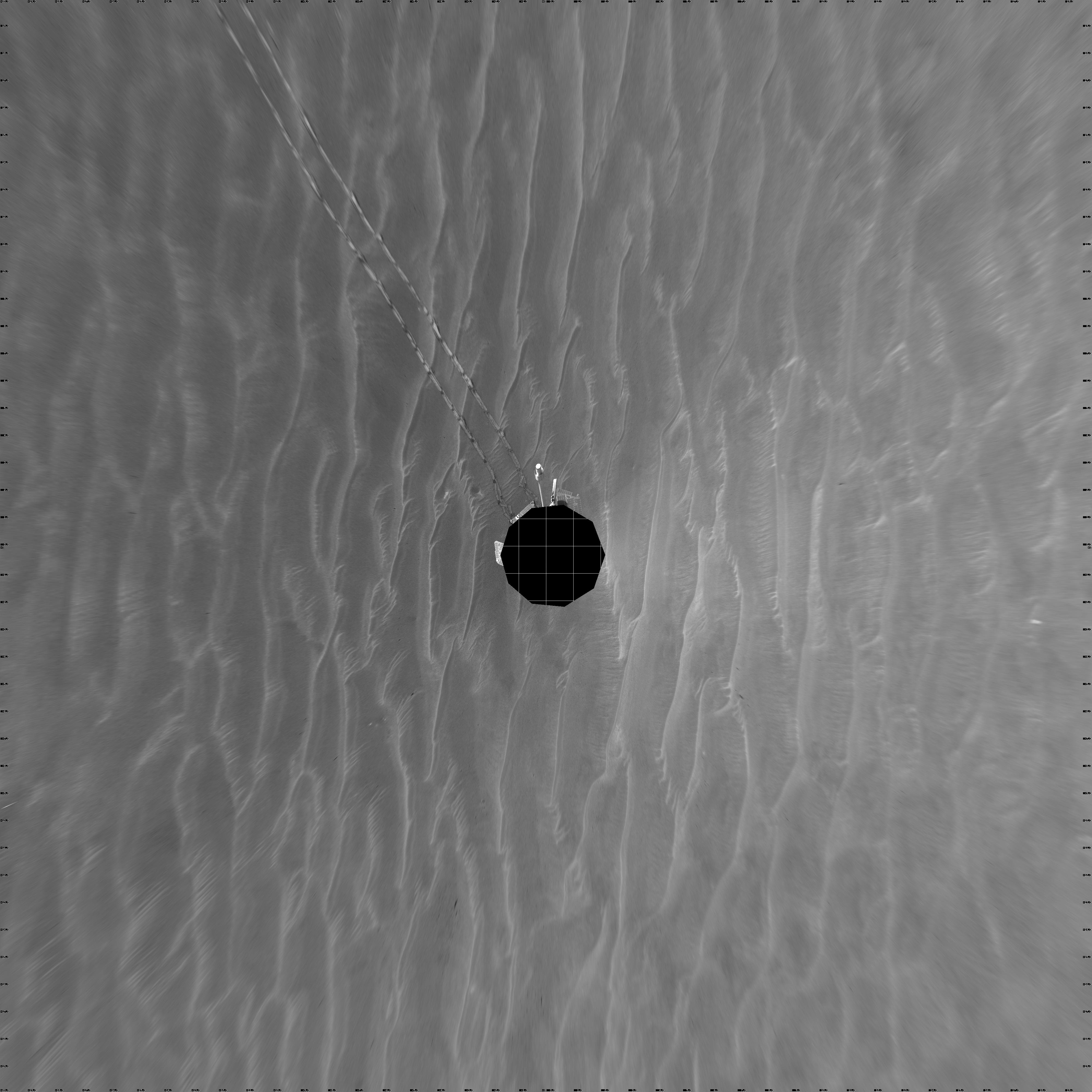
4101x4101x1
PIA07466:
Opportunity View on Sol 398 (polar)
Full Resolution:
TIFF
(8.137 MB)
JPEG
(1.038 MB)
2005-03-17
Mars
Mars Exploration Rover (MER)
Navigation Camera
4000x4000x1
PIA07467:
Opportunity View on Sol 398 (vertical)
Full Resolution:
TIFF
(10.37 MB)
JPEG
(868.7 kB)
2005-03-17
Mars
Mars Exploration Rover (MER)
Navigation Camera
7688x971x1
PIA07468:
Beside 'Vostok Crater'
Full Resolution:
TIFF
(5.623 MB)
JPEG
(864.4 kB)
2005-03-17
Mars
Mars Exploration Rover (MER)
Navigation Camera
7753x1333x3
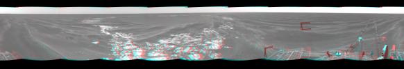
PIA07469:
Beside 'Vostok Crater' (3-D)
Full Resolution:
TIFF
(16.98 MB)
JPEG
(999.4 kB)
2005-03-17
Mars
Mars Exploration Rover (MER)
Navigation Camera
4069x4069x1
PIA07470:
Beside 'Vostok Crater' (polar)
Full Resolution:
TIFF
(8.151 MB)
JPEG
(1.15 MB)
2005-03-17
Mars
Mars Exploration Rover (MER)
Navigation Camera
4000x4000x1
PIA07471:
Beside 'Vostok Crater' (vertical)
Full Resolution:
TIFF
(10.32 MB)
JPEG
(1.015 MB)
2005-03-17
Mars
Mars Global Surveyor (MGS)
Mars Orbiter Camera (MOC)
1024x2566x1
PIA07477:
South Polar Cap
Full Resolution:
TIFF
(1.461 MB)
JPEG
(709.4 kB)
2005-03-18
Mars
Mars Global Surveyor (MGS)
Mars Orbiter Camera (MOC)
836x2048x1
PIA07479:
Frost on Dunes
Full Resolution:
TIFF
(1.09 MB)
JPEG
(135.7 kB)
2005-03-18
Mars
2001 Mars Odyssey
THEMIS
1397x3230x1
PIA07488:
Candor Chasma Chaos
Full Resolution:
TIFF
(2.553 MB)
JPEG
(274.3 kB)
2005-03-18
Mars
Mars Exploration Rover (MER)
Microscopic Imager
2094x1767x1
PIA07480:
Looking Closely at 'Yuri'
Full Resolution:
TIFF
(3.536 MB)
JPEG
(597.2 kB)
2005-03-19
Mars
Mars Global Surveyor (MGS)
Mars Orbiter Camera (MOC)
601x1500x1
PIA07481:
Dunes of the Frozen North
Full Resolution:
TIFF
(861 kB)
JPEG
(131.9 kB)
2005-03-20
Mars
Mars Global Surveyor (MGS)
Mars Orbiter Camera (MOC)
836x3267x1
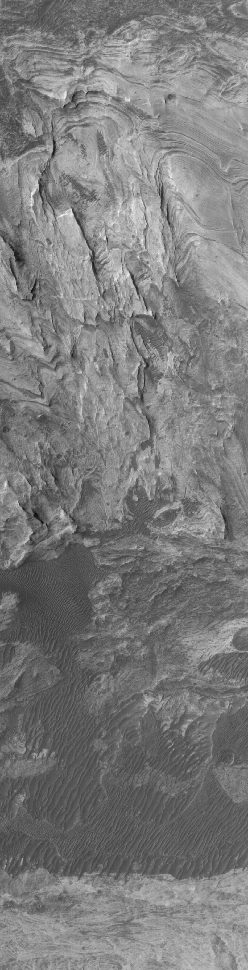
PIA07482:
Layers of Candor
Full Resolution:
TIFF
(2.213 MB)
JPEG
(421.6 kB)
2005-03-21
Mars
Mars Global Surveyor (MGS)
Mars Orbiter Camera (MOC)
836x2608x1
PIA07483:
Dunes of the Frozen North
Full Resolution:
TIFF
(1.428 MB)
JPEG
(255.4 kB)
2005-03-21
Mars
2001 Mars Odyssey
THEMIS
1394x3054x1
PIA07489:
Cerberus Fossae
Full Resolution:
TIFF
(3.065 MB)
JPEG
(378.6 kB)
2005-03-22
Mars
Mars Global Surveyor (MGS)
Mars Orbiter Camera (MOC)
640x640x3
PIA07493:
Mars at Ls 176�: Elysium/Mare Cimmerium
Full Resolution:
TIFF
(1.232 MB)
JPEG
(41.05 kB)
2005-03-22
Mars
2001 Mars Odyssey
THEMIS
1370x3050x1
PIA07496:
Fractures in Tharsis Tholus
Full Resolution:
TIFF
(2.531 MB)
JPEG
(180.5 kB)
2005-03-23
Mars
Mars Global Surveyor (MGS)
Mars Orbiter Camera (MOC)
549x1512x1
PIA07494:
Tharsis Channels
Full Resolution:
TIFF
(715.3 kB)
JPEG
(106.7 kB)
2005-03-23
Mars
2001 Mars Odyssey
THEMIS
1332x3045x1
PIA07497:
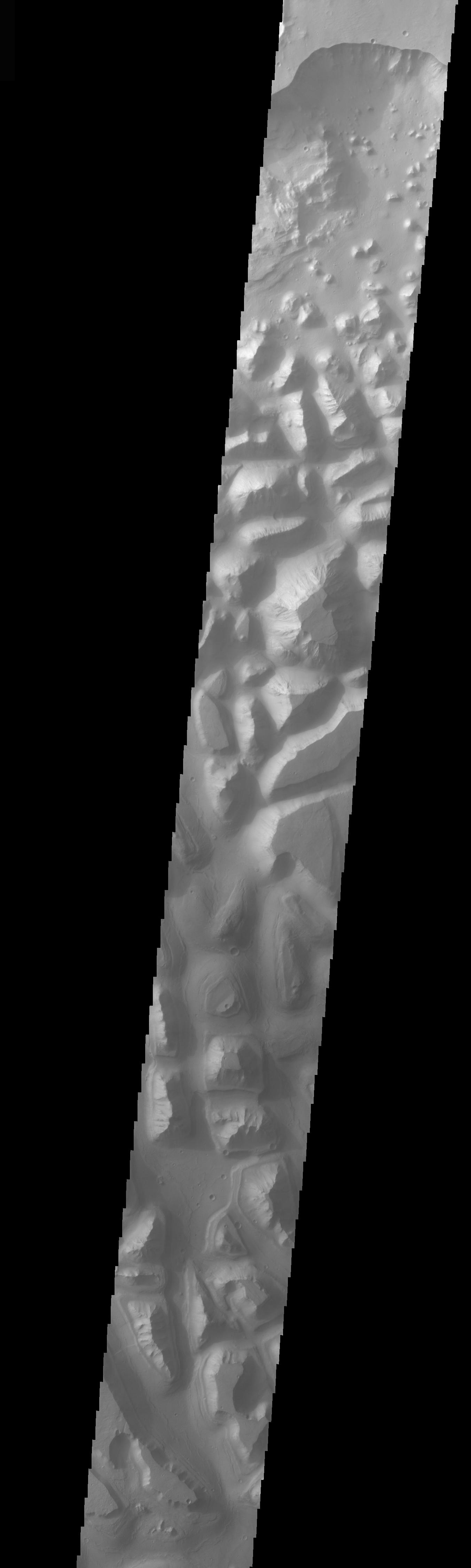
Arcuate Fractures in Olympus Mons Caldera
Full Resolution:
TIFF
(2.81 MB)
JPEG
(311.1 kB)
2005-03-23
Mars
Mars Exploration Rover (MER)
Panoramic Camera
650x272x3
PIA07492:
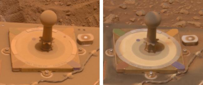
Before and After a Cleaning Event on Spirit
Full Resolution:
TIFF
(531.2 kB)
JPEG
(19.78 kB)
2005-03-24
Mars
Mars Global Surveyor (MGS)
Mars Orbiter Camera (MOC)
672x1394x1
PIA07495:
Becquerel Dunes and Layers
Full Resolution:
TIFF
(937.9 kB)
JPEG
(233 kB)
2005-03-24
Mars
2001 Mars Odyssey
THEMIS
1395x3226x1
PIA07498:
Arcuate Fractures
Full Resolution:
TIFF
(3.439 MB)
JPEG
(476.6 kB)
2005-03-25
Mars
Mars Global Surveyor (MGS)
Mars Orbiter Camera (MOC)
647x1487x1
PIA07501:
Chasma Boreale
Full Resolution:
TIFF
(963.3 kB)
JPEG
(186.1 kB)
2005-03-25
Mars
2001 Mars Odyssey
THEMIS
1386x3060x1
PIA07509:
Ridges From Fractures
Full Resolution:
TIFF
(3.228 MB)
JPEG
(426.2 kB)
2005-03-26
Mars
Mars Global Surveyor (MGS)
Mars Orbiter Camera (MOC)
836x1155x1
PIA07502:
Herschel Dunes
Full Resolution:
TIFF
(966.8 kB)
JPEG
(212.6 kB)
2005-03-27
Mars
Mars Global Surveyor (MGS)
Mars Orbiter Camera (MOC)
627x2429x1
PIA07503:
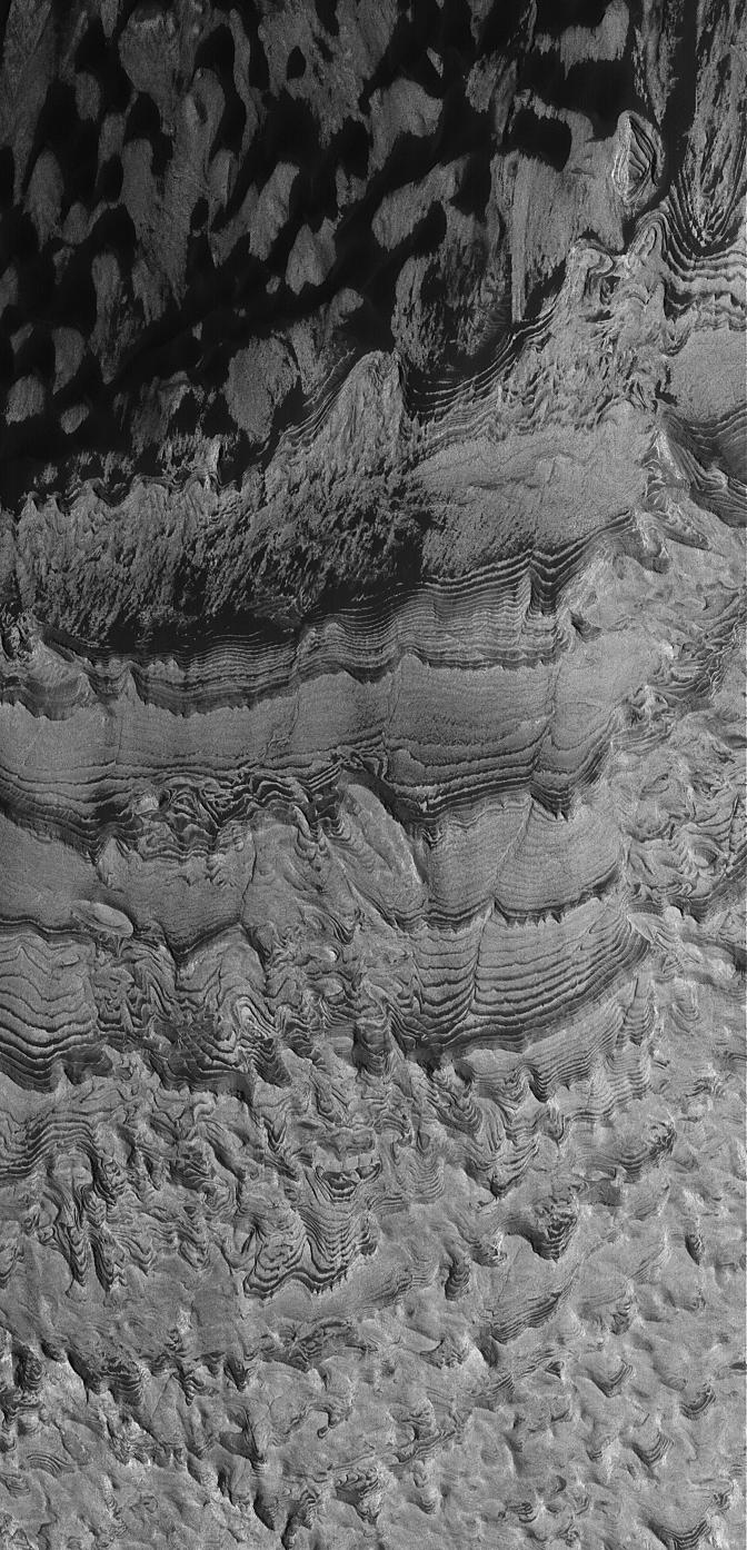
North Polar Layers
Full Resolution:
TIFF
(1.433 MB)
JPEG
(214.6 kB)
2005-03-28
Mars
Mars Global Surveyor (MGS)
Mars Orbiter Camera (MOC)
2048x2160x1
PIA07504:
Ejecta Boulders
Full Resolution:
TIFF
(3.53 MB)
JPEG
(490.3 kB)
2005-03-28
Mars
2001 Mars Odyssey
THEMIS
1359x3070x1
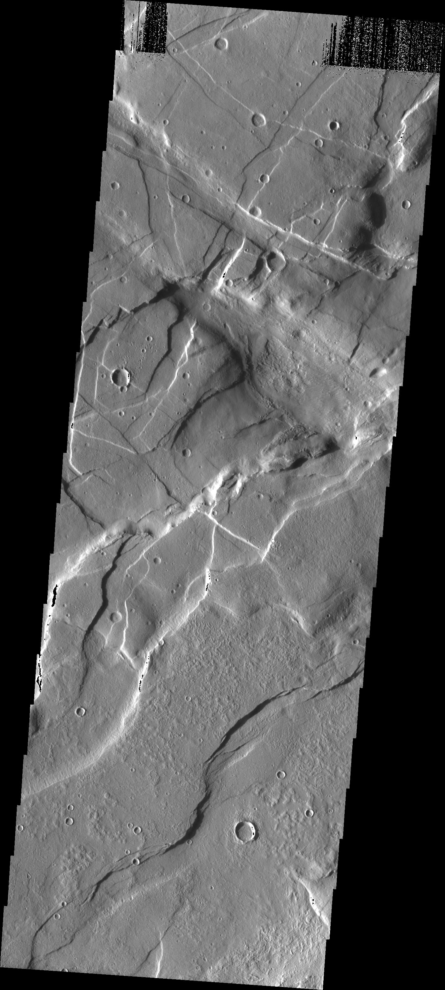
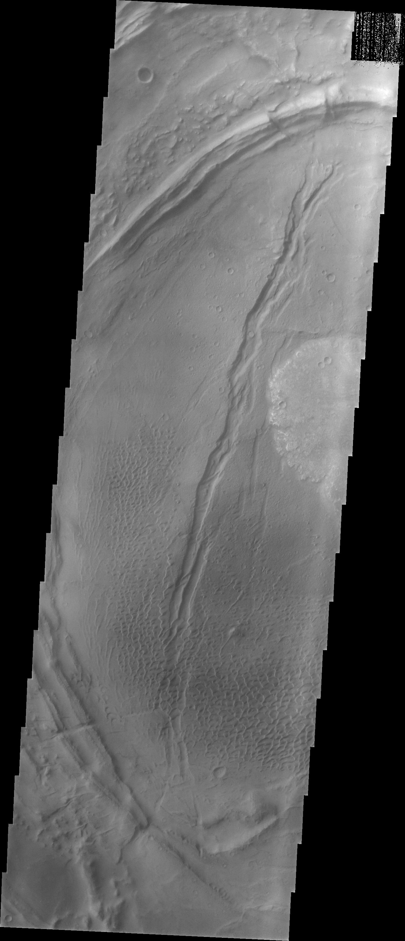
PIA06843:
Valles Marineris Graben
Full Resolution:
TIFF
(4.176 MB)
JPEG
(368 kB)
2005-03-29
Mars
Mars Global Surveyor (MGS)
Mars Orbiter Camera (MOC)
640x640x3
PIA07505:
Mars at Ls 176�: North Polar Region
Full Resolution:
TIFF
(1.233 MB)
JPEG
(32.65 kB)
2005-03-29
Mars
2001 Mars Odyssey
THEMIS
1397x3057x1
PIA07810:
Alba Patera Graben
Full Resolution:
TIFF
(2.986 MB)
JPEG
(326.7 kB)
2005-03-30
Mars
Mars Global Surveyor (MGS)
Mars Orbiter Camera (MOC)
1024x2256x1
PIA07507:
Dunes of the North
Full Resolution:
TIFF
(2.313 MB)
JPEG
(441.5 kB)
2005-03-30
Mars
2001 Mars Odyssey
THEMIS
1371x3232x1
PIA07811:
Old and New Graben
Full Resolution:
TIFF
(2.645 MB)
JPEG
(222.2 kB)
2005-03-30
Mars
Mars Exploration Rover (MER)
Mars Global Surveyor (MGS)
2001 Mars Odyssey
Descent Image Motion Estimation System (DIMES)
Mars Orbiter Camera
Thermal Emission Imaging System
2392x1823x3
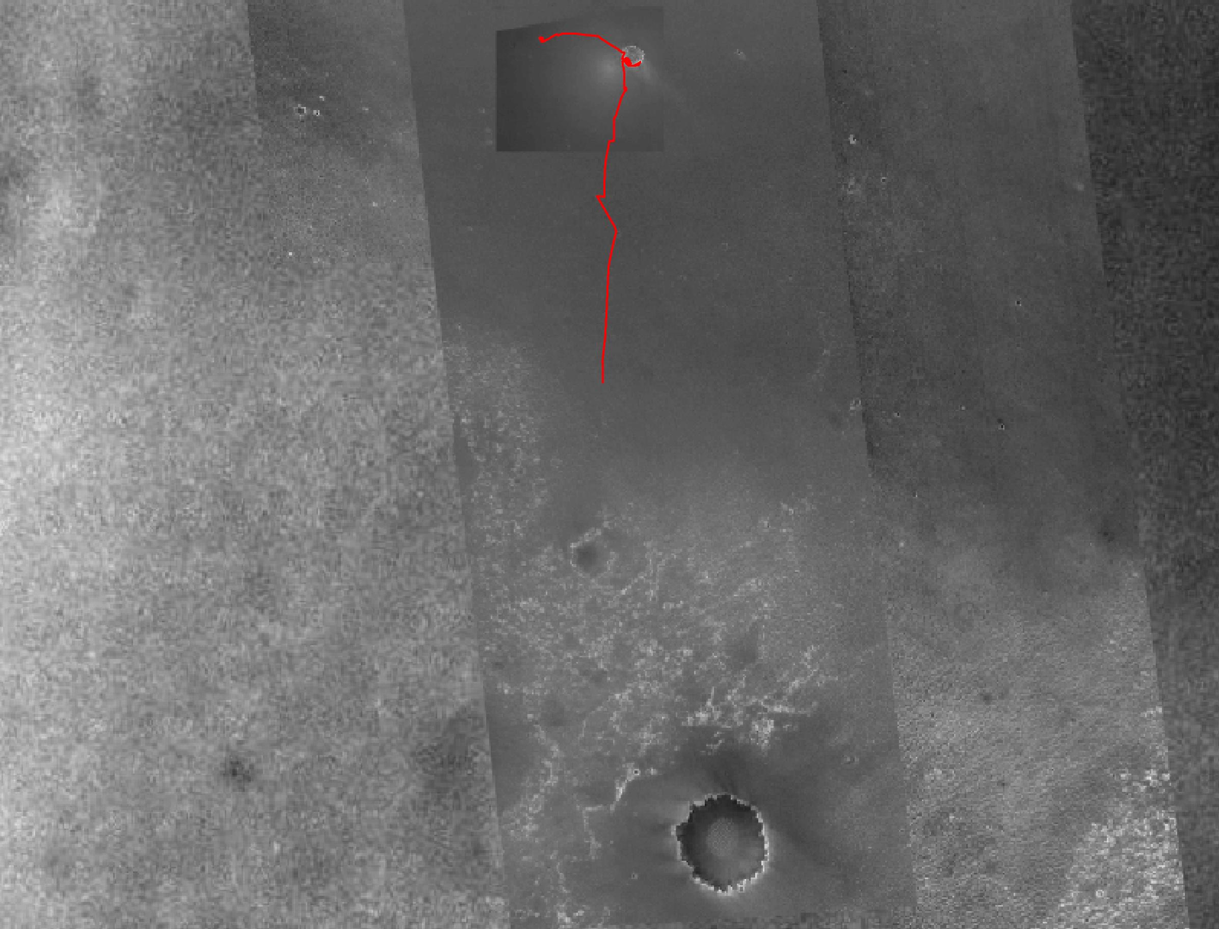
PIA07506:
Opportunity's Fast Progress Southward
Full Resolution:
TIFF
(5.086 MB)
JPEG
(406.4 kB)
2005-03-31
Mars
Mars Global Surveyor (MGS)
Mars Orbiter Camera (MOC)
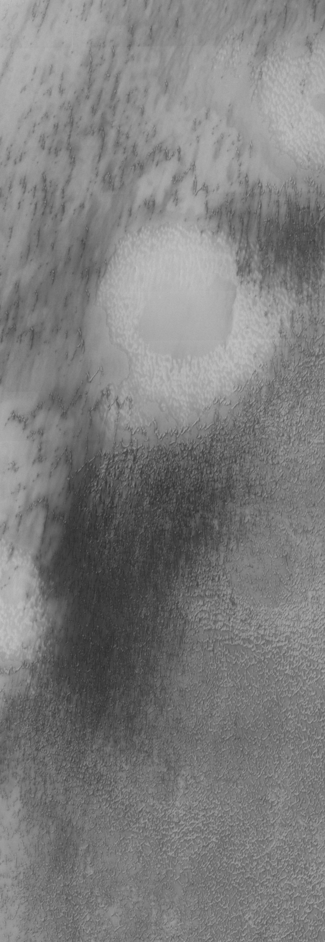
1024x2174x1
PIA07508:
Crater with Windstreak
Full Resolution:
TIFF
(2.229 MB)
JPEG
(443.7 kB)
2005-03-31
Mars
2001 Mars Odyssey
THEMIS
1455x3233x1
PIA07812:
Compounded Fractures
Full Resolution:
TIFF
(3.619 MB)
JPEG
(557.3 kB)
2005-04-01
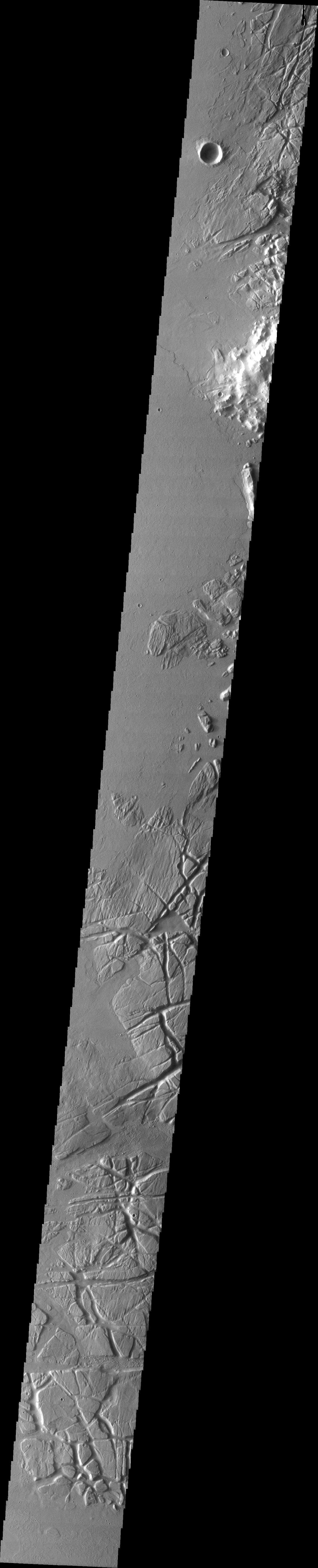
Mars
2001 Mars Odyssey
THEMIS
1338x6588x1
PIA07813:
Relative Dating Via Fractures
Full Resolution:
TIFF
(3.904 MB)
JPEG
(589.9 kB)
2005-04-01
Mars
Mars Global Surveyor (MGS)
Mars Orbiter Camera (MOC)
601x1853x1
PIA07814:
Northern Bands
Full Resolution:
TIFF
(1.115 MB)
JPEG
(399.3 kB)
2005-04-02
Mars
Mars Global Surveyor (MGS)
Mars Orbiter Camera (MOC)
836x3058x1
PIA07815:
Crater Streaks
Full Resolution:
TIFF
(2.424 MB)
JPEG
(384.2 kB)
2005-04-03
Mars
Mars Global Surveyor (MGS)
Mars Orbiter Camera (MOC)
836x3488x1
PIA07816:
Buttes near Meridiani
Full Resolution:
TIFF
(2.909 MB)
JPEG
(527.8 kB)
2005-04-04
Mars
Mars Global Surveyor (MGS)
Mars Orbiter Camera (MOC)
672x3288x1
PIA07817:
Xanthe Valley
Full Resolution:
TIFF
(2.212 MB)
JPEG
(547.8 kB)
2005-04-04
Mars
2001 Mars Odyssey
THEMIS
1092x3172x1
PIA07819:
Isolated Northern Dunes
Full Resolution:
TIFF
(3.087 MB)
JPEG
(407.8 kB)
2005-04-05
Mars
2001 Mars Odyssey
THEMIS
1084x2995x1
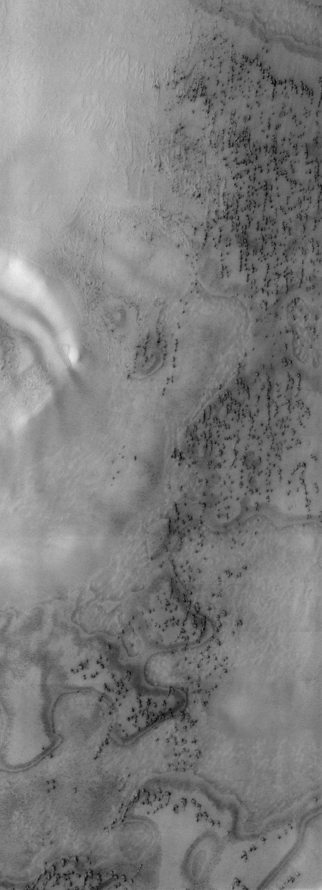
PIA07820:
North Polar Erg
Full Resolution:
TIFF
(3.25 MB)
JPEG
(369.1 kB)
2005-04-05
Mars
Mars Global Surveyor (MGS)
Mars Orbiter Camera (MOC)
640x640x3
PIA07818:
Mars at Ls 193�: Tharsis
Full Resolution:
TIFF
(1.232 MB)
JPEG
(23.26 kB)
2005-04-06
Mars
Mars Global Surveyor (MGS)
Mars Orbiter Camera (MOC)
627x2009x1
PIA07821:
Hephaestus Troughs
Full Resolution:
TIFF
(1.261 MB)
JPEG
(300.5 kB)
2005-04-06
Mars
2001 Mars Odyssey
THEMIS
1091x2988x1
PIA07822:
Northern Sand Sea
Full Resolution:
TIFF
(3.264 MB)
JPEG
(603.9 kB)
2005-04-07
Mars
2001 Mars Odyssey
THEMIS
1090x3155x1
PIA07824:
North Polar Erg
Full Resolution:
TIFF
(3.319 MB)
JPEG
(364.5 kB)
2005-04-08
Mars
Mars Exploration Rover (MER)
Navigation Camera
7688x984x1
PIA07823:
Opportunity's View of 'Viking' Crater, Sol 421
Full Resolution:
TIFF
(5.872 MB)
JPEG
(804.7 kB)
2005-04-08
Mars
2001 Mars Odyssey
THEMIS
523x6523x1
PIA07825:
Dune Variety
Full Resolution:
TIFF
(3.405 MB)
JPEG
(430.2 kB)
2005-04-08
Mars
Mars Global Surveyor (MGS)
Mars Orbiter Camera (MOC)
549x1056x1
PIA07826:
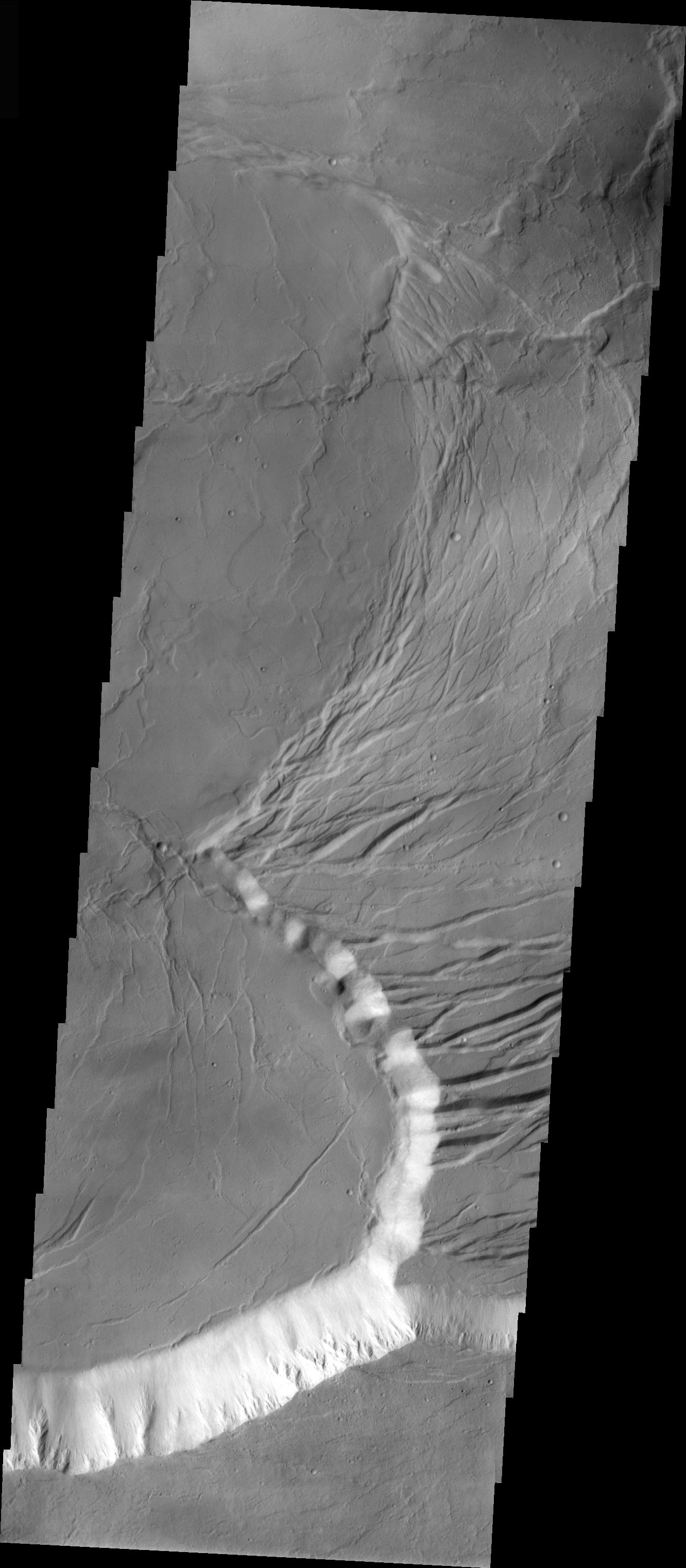
Olympus Flows
Full Resolution:
TIFF
(524.2 kB)
JPEG
(73.2 kB)
2005-04-08
Mars
Mars Global Surveyor (MGS)
Mars Orbiter Camera (MOC)
512x975x1
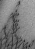
PIA07827:
Craters and Winds
Full Resolution:
TIFF
(384.6 kB)
JPEG
(64.57 kB)
2005-04-09
Mars
Mars Global Surveyor (MGS)
Mars Orbiter Camera (MOC)
640x1016x1
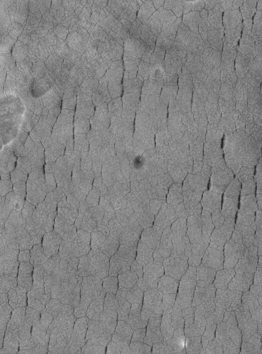
PIA07834:
Martian Fingerprints
Full Resolution:
TIFF
(651.2 kB)
JPEG
(157.3 kB)
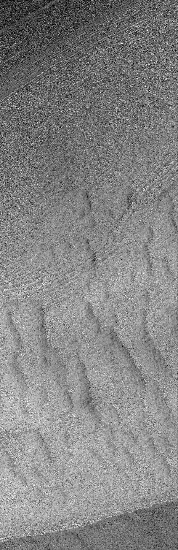
2005-04-10
Mars
Mars Global Surveyor (MGS)
Mars Orbiter Camera (MOC)
836x1454x1
PIA07835:
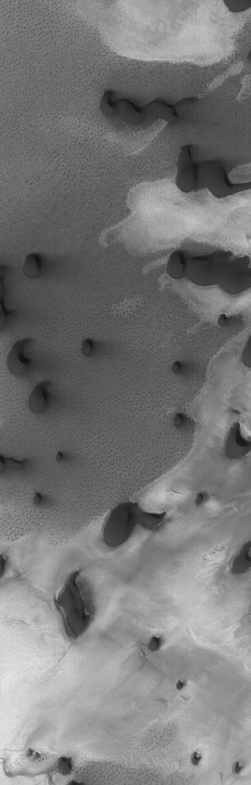
North Polar Dunes
Full Resolution:
TIFF
(1.217 MB)
JPEG
(100.9 kB)
2005-04-11
Mars
2001 Mars Odyssey
THEMIS
1381x3015x1
PIA07830:
Holden Crater Dune Field
Full Resolution:
TIFF
(4.169 MB)
JPEG
(291.7 kB)
2005-04-11
Mars
Mars Global Surveyor (MGS)
Mars Orbiter Camera (MOC)
512x756x1
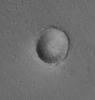
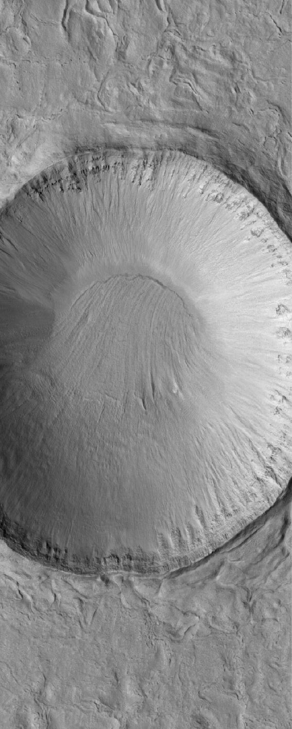
PIA07836:
Dark-Rimmed Crater
Full Resolution:
TIFF
(387.7 kB)
JPEG
(79.38 kB)
2005-04-12
Mars
2001 Mars Odyssey
THEMIS
1414x3217x1
PIA07831:
Sand Sheet on Crater Floor
Full Resolution:
TIFF
(4.554 MB)
JPEG
(313.1 kB)
2005-04-12
Mars
Mars Global Surveyor (MGS)
Mars Orbiter Camera (MOC)
640x640x3
PIA07837:
Mars at Ls 193�: Acidalia/Mare Erythraeum
Full Resolution:
TIFF
(411.8 kB)
JPEG
(24.99 kB)
2005-04-12
Mars
Mars Exploration Rover (MER)
Navigation Camera
1024x1024x1
PIA07829:
Scientists Contemplate Tilting of Rock Layers on Mars
Full Resolution:
TIFF
(1.05 MB)
JPEG
(123.1 kB)
2005-04-13
Mars
2001 Mars Odyssey
THEMIS
1386x3229x1
PIA07832:
Ganges Chasma Sand Sheet
Full Resolution:
TIFF
(4.481 MB)
JPEG
(378.3 kB)
2005-04-13
Mars
Mars Global Surveyor (MGS)
Mars Orbiter Camera (MOC)
672x1016x1
PIA07838:
Frosty Crater
Full Resolution:
TIFF
(683.7 kB)
JPEG
(108.4 kB)
2005-04-14
Mars
2001 Mars Odyssey
THEMIS
1386x3222x1
PIA07833:
Nili Patera Dune Field
Full Resolution:
TIFF
(4.471 MB)
JPEG
(311.7 kB)
2005-04-14
Mars
Mars Global Surveyor (MGS)
Mars Orbiter Camera (MOC)
1024x1386x1
PIA07839:
Polygons in Utopia
Full Resolution:
TIFF
(1.421 MB)
JPEG
(230.3 kB)
2005-04-15
Mars
2001 Mars Odyssey
THEMIS
1398x3222x1
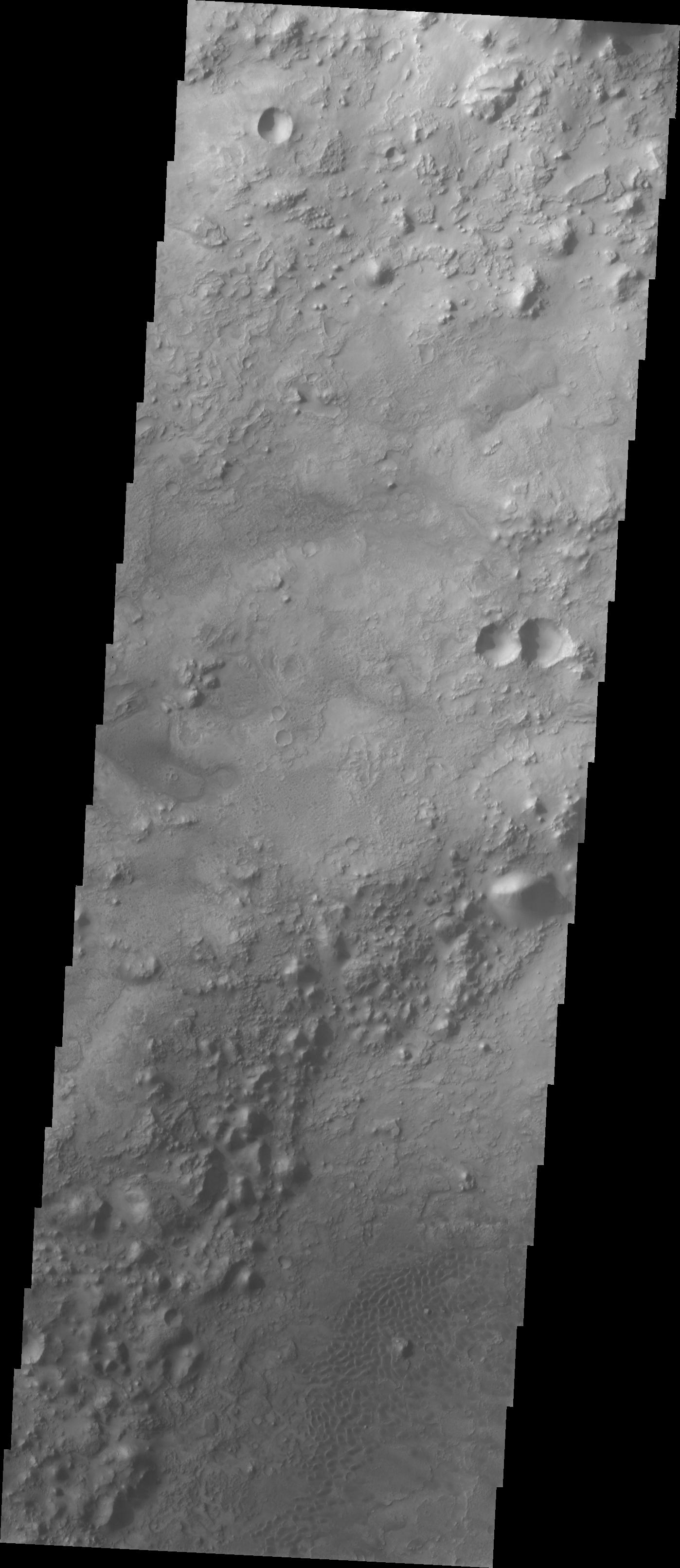
PIA07845:
Crater Floor Dune Field
Full Resolution:
TIFF
(4.51 MB)
JPEG
(333.8 kB)
2005-04-15
Mars
Mars Global Surveyor (MGS)
Mars Orbiter Camera (MOC)
836x1596x1
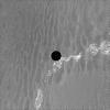
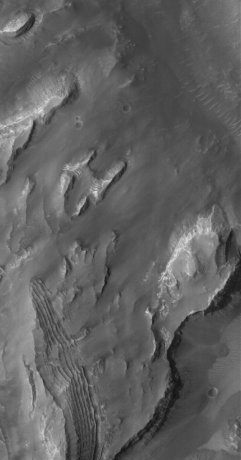
PIA07840:
Gale Sedimentary Rocks
Full Resolution:
TIFF
(1.336 MB)
JPEG
(197.2 kB)
2005-04-16
Mars
Mars Global Surveyor (MGS)
Mars Orbiter Camera (MOC)
672x1038x1
PIA07842:
East Tharsis Flows
Full Resolution:
TIFF
(698.5 kB)
JPEG
(108.2 kB)
2005-04-17
Mars
Mars Global Surveyor (MGS)
Mars Orbiter Camera (MOC)
836x1259x1
PIA07843:
Valley Near Moreux
Full Resolution:
TIFF
(1.054 MB)
JPEG
(165 kB)
2005-04-18
Mars
Mars Global Surveyor (MGS)
Mars Orbiter Camera (MOC)
836x1224x1
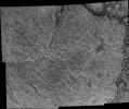
PIA07844:
Fretted Terrain Mass Movement
Full Resolution:
TIFF
(1.025 MB)
JPEG
(216.2 kB)
2005-04-18
Mars
2001 Mars Odyssey
THEMIS
1401x3056x1
PIA07846:
Kasei Vallis Topography
Full Resolution:
TIFF
(4.287 MB)
JPEG
(313.9 kB)
2005-04-19
Mars
2001 Mars Odyssey
THEMIS
1408x3223x1
PIA07847:
Kasei Vallis Erosion
Full Resolution:
TIFF
(4.543 MB)
JPEG
(254.8 kB)
2005-04-19
Mars
Mars Global Surveyor (MGS)
Mars Orbiter Camera (MOC)
640x640x3
PIA07857:
Mars at Ls 193�: Syrtis Major
Full Resolution:
TIFF
(411.8 kB)
JPEG
(24.71 kB)
2005-04-19
Mars
Mars Global Surveyor (MGS)
Mars Exploration Rover (MER)
Mars Orbiter Camera (MOC)
1477x941x3
PIA07848:
'Columbia Hills' Color Elevation Map
Full Resolution:
TIFF
(4.177 MB)
JPEG
(138.2 kB)
2005-04-19
Mars
Mars Global Surveyor (MGS)
Mars Exploration Rover (MER)
Mars Orbiter Camera (MOC)
1795x992x1
PIA07849:
Plains and Hills Explored by Spirit
Full Resolution:
TIFF
(1.783 MB)
JPEG
(253.3 kB)
2005-04-19
Mars
Mars Global Surveyor (MGS)
Mars Exploration Rover (MER)
Mars Orbiter Camera (MOC)
1544x1014x1
PIA07850:
Hills Explored by Spirit
Full Resolution:
TIFF
(1.567 MB)
JPEG
(167.6 kB)
2005-04-19
Mars
Mars Global Surveyor (MGS)
Mars Exploration Rover (MER)
Mars Orbiter Camera (MOC)
1042x648x1
PIA07851:
'Columbia Hills' Oblique View
Full Resolution:
TIFF
(676.2 kB)
JPEG
(60.75 kB)
2005-04-20
Mars
2001 Mars Odyssey
THEMIS
1424x3063x1
PIA07856:
Kasei Vallis Channel Splitting
Full Resolution:
TIFF
(4.367 MB)
JPEG
(410.9 kB)
2005-04-20
Mars
Mars Global Surveyor (MGS)
Mars Orbiter Camera (MOC)
601x924x1
PIA07858:
Fractured Ground
Full Resolution:
TIFF
(556.1 kB)
JPEG
(115.5 kB)
2005-04-20
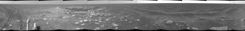
Mars
Mars Exploration Rover (MER)
Panoramic Camera
4141x2233x3
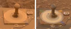
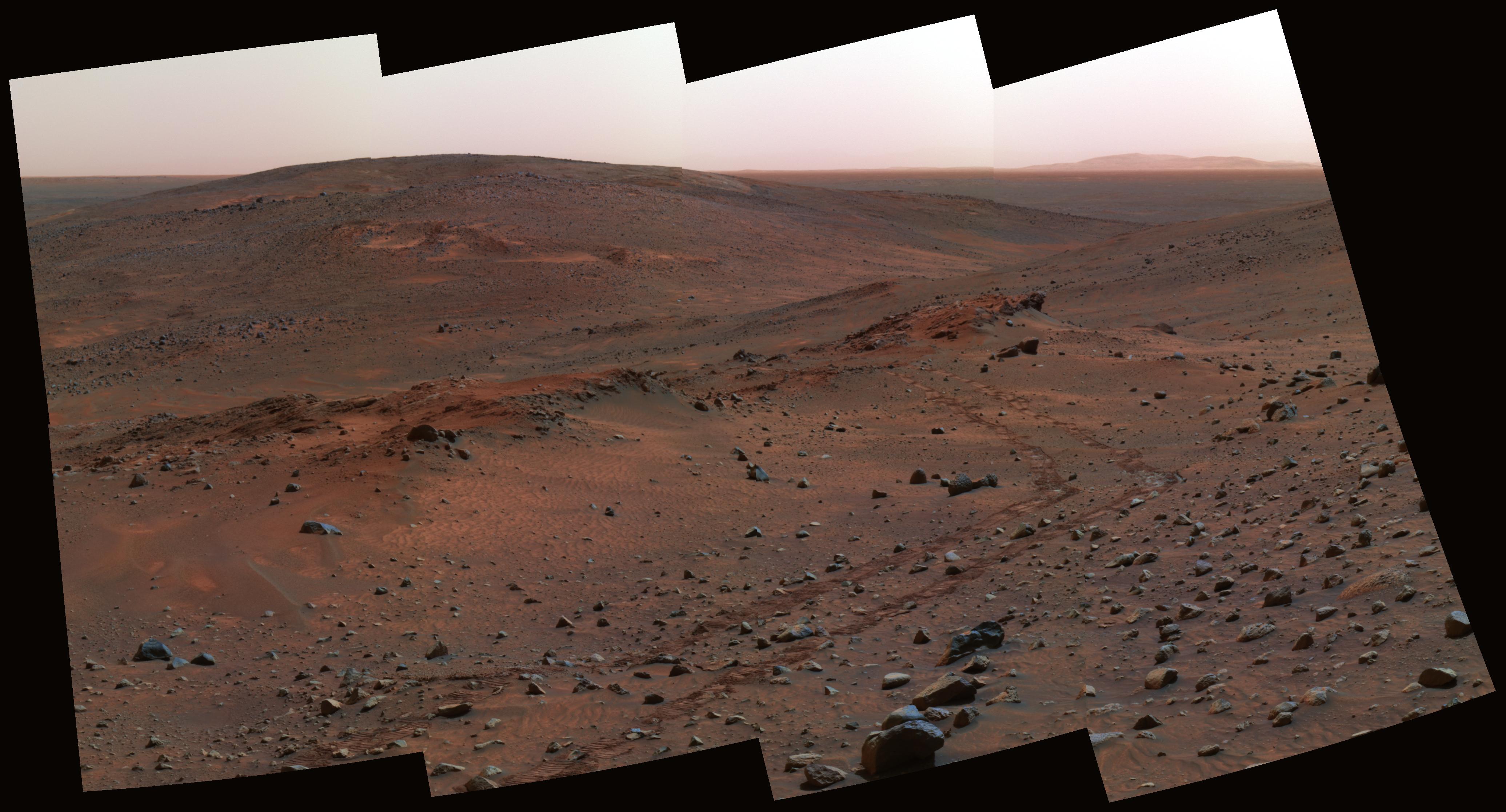
PIA07855:
Next Stop: 'Methuselah'
Full Resolution:
TIFF
(27.74 MB)
JPEG
(772.1 kB)
2005-04-21
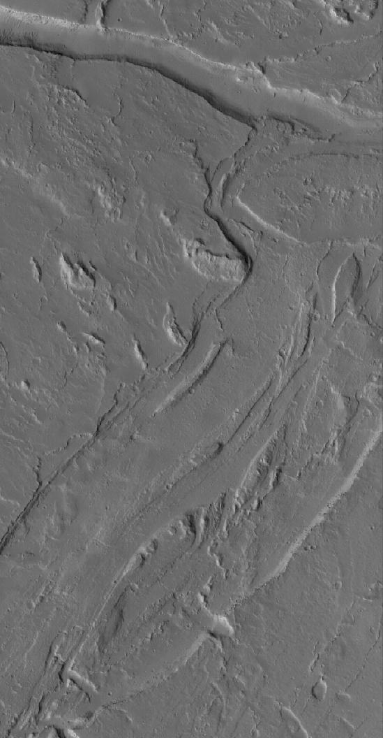
Mars
2001 Mars Odyssey
THEMIS
1376x3058x1
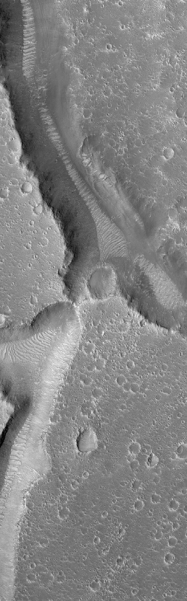
PIA07866:
Multidepth Channels
Full Resolution:
TIFF
(4.213 MB)
JPEG
(320.5 kB)
1-100
101-200
201-300
301-400
401-500
501-600
601-700
701-800
801-900
901-1000
Currently displaying images:
3401 - 3500
of 12748


