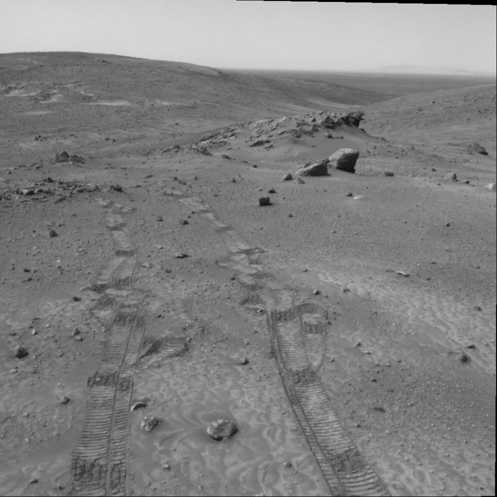
Gazing across the landscape of the "Columbia Hills" in Gusev Crater on Mars, scientists working with NASA's Mars Exploration Rover Spirit think they have been seeing hints of tilted rock layers across the area traversed by the rover. At "Larry's Lookout," pictured here, ridges of rock are stacked atop each other and tilted. Similar rock ridges are visible in the distance across the "Tennessee Valley." One possible explanation for these ridges is that they were formed by tilted layers of sediment that were more resistant to erosion and now stand in relief above the surrounding surface. Scientists hope to better understand the structure of the hills and perhaps determine how they were formed by observing how the orientation of layers in these outcrops changes throughout the region. Hypotheses include that the Columbia Hills are the remains of an ancient volcano, a remnant of an old impact crater formed by an asteroid or comet, or delta deposits formed where water flowed into Gusev Crater early in its history. Each of these hypotheses leads to a different prediction regarding bedding orientation and structure.
Hills on the distant horizon may be the rim of a large impact crater many miles to the east of the Columbia Hills. Spirit took this image with its navigation camera on martian day, or sol, 438 (March 27, 2005).