Your search criteria found
340
images
Target is Mars (and available satellites)
Go to PIAxxxxx:
Refine this list of images by:
Target:
Deimos
Mars
Phobos
Mission:
Mars 2020 Rover
Mars Science Laboratory (MSL)
Spacecraft:
Curiosity
Mars Science Laboratory (MSL)
Perseverance
Instrument:
Mastcam
Mastcam-Z
Click on an image for detailed information
Click on a column heading to sort in ascending or descending order
My
List
Addition Date
Target
Mission
Instrument
Size
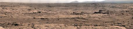
2012-11-26
Mars
Mars Science Laboratory (MSL)
Mastcam
13726x3008x3
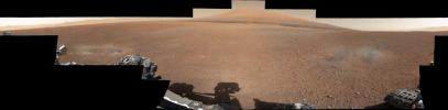
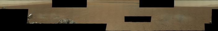
PIA16453:
Panoramic View From 'Rocknest' Position of Curiosity Mars Rover
Full Resolution:
TIFF
(123.9 MB)
JPEG
(7.811 MB)
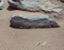
2012-11-26
Mars
Mars Science Laboratory (MSL)
Mastcam
1851x1440x3
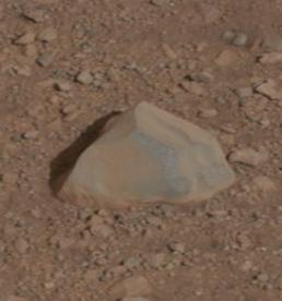
PIA16452:
A Martian Rock Called 'Rocknest 3'
Full Resolution:
TIFF
(7.999 MB)
JPEG
(538.1 kB)
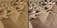
2012-10-30
Mars
Mars Science Laboratory (MSL)
CheMin
Mastcam
2316x1152x3
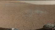
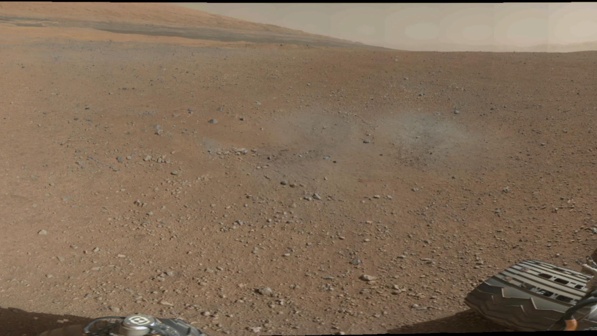
PIA16174:
Wind-Blown Martian Sand
Full Resolution:
TIFF
(8.007 MB)
JPEG
(530.1 kB)
2012-10-30
Mars
Mars Science Laboratory (MSL)
CheMin
Mastcam
3027x1200x3
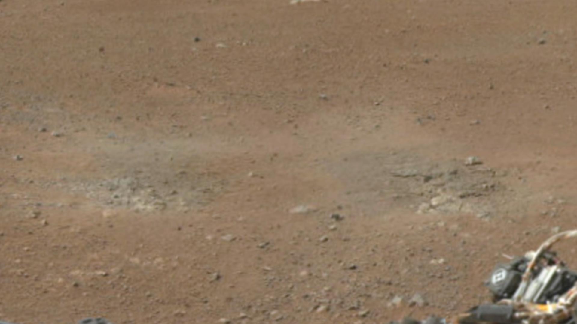
PIA16173:
Curiosity Digs In
Full Resolution:
TIFF
(10.9 MB)
JPEG
(660.7 kB)
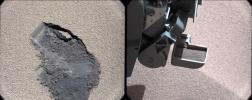
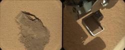
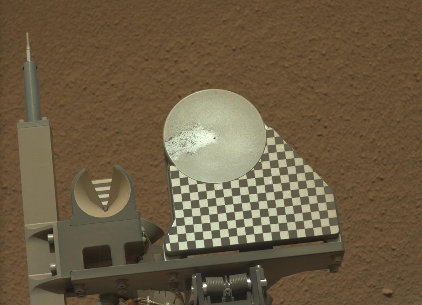
2012-10-18
Mars
Mars Science Laboratory (MSL)
Mastcam
1347x975x3
PIA16232:
First Sample Placed on Curiosity's Observation Tray
Full Resolution:
TIFF
(3.942 MB)
JPEG
(114.9 kB)
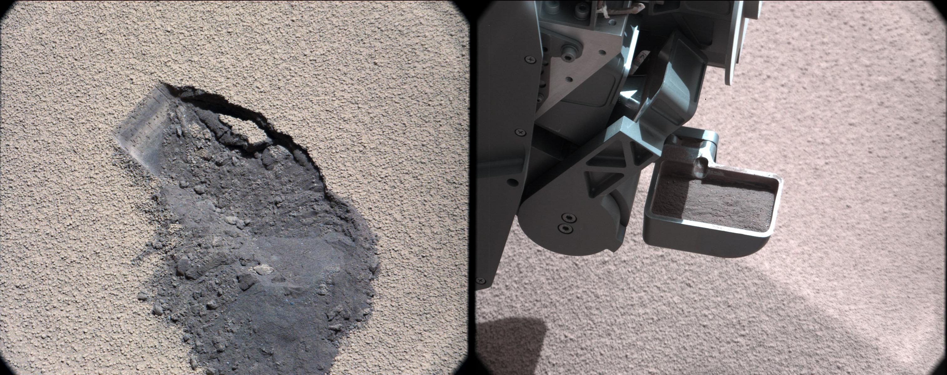
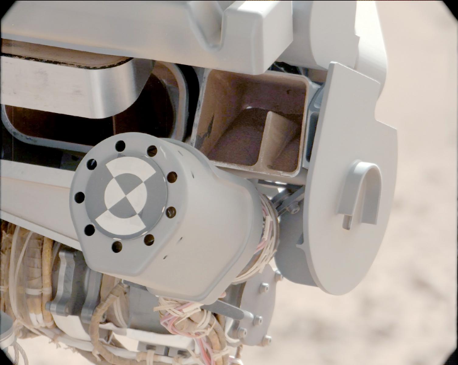
2012-10-11
Mars
Mars Science Laboratory (MSL)
CHIMRA
Mastcam
1547x1200x3
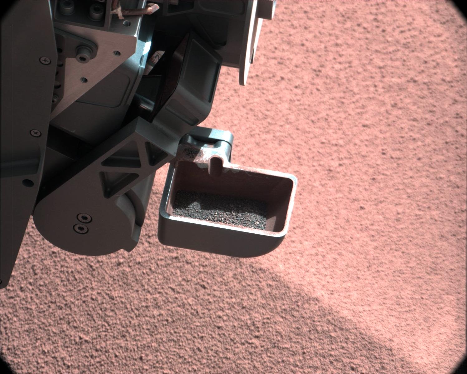
PIA16196:
Thanks for the Scrub
Full Resolution:
TIFF
(5.571 MB)
JPEG
(161.2 kB)
2012-10-11
Mars
Mars Science Laboratory (MSL)
CHIMRA
Mastcam
1506x1200x3
PIA16195:
Sand Filtered through Curiosity's Sieve
Full Resolution:
TIFF
(5.424 MB)
JPEG
(113.8 kB)
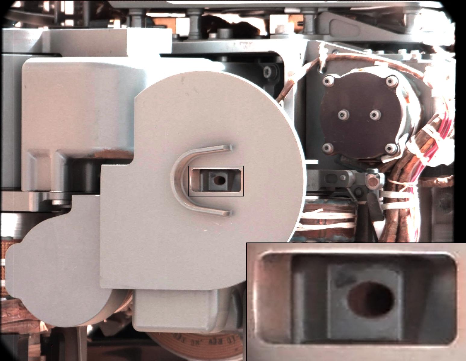
2012-10-11
Mars
Mars Science Laboratory (MSL)
CHIMRA
Mastcam
1498x1199x3
PIA16194:
Too Big for the Sieve
Full Resolution:
TIFF
(5.39 MB)
JPEG
(229.6 kB)
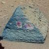
2012-10-11
Mars
Mars Science Laboratory (MSL)
ChemCam
Mastcam
2668x2668x3
PIA16192:
Target: Jake Matijevic Rock
Full Resolution:
TIFF
(21.36 MB)
JPEG
(1.126 MB)
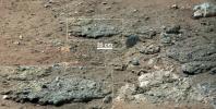
2012-10-10
Mars
Mars Science Laboratory (MSL)
Mastcam
3020x1200x3
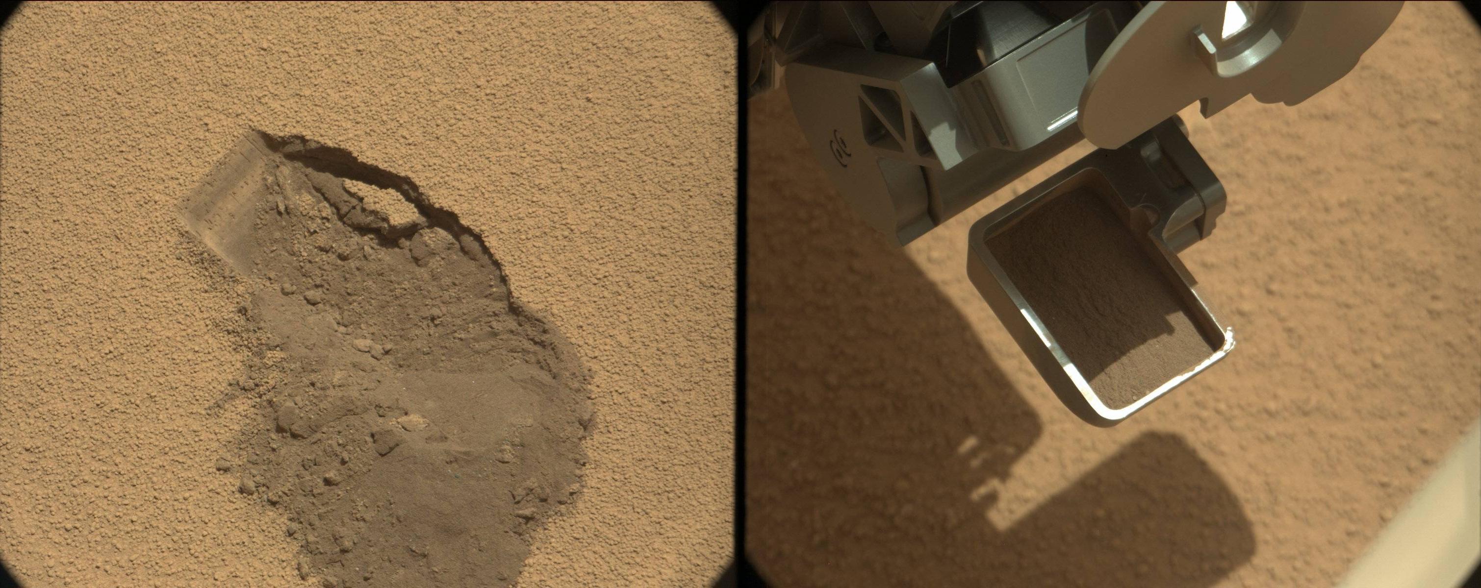
PIA16226:
First Scoop by Curiosity, Sol 61 Views
Full Resolution:
TIFF
(10.88 MB)
JPEG
(479.7 kB)
2012-10-08
Mars
Mars Science Laboratory (MSL)
Mastcam
1345x1200x3
PIA16225:
View of Curiosity's First Scoop Also Shows Bright Object
Full Resolution:
TIFF
(4.844 MB)
JPEG
(242.9 kB)
2012-10-08
Mars
Mars Science Laboratory (MSL)
Mastcam
1400x1024x3
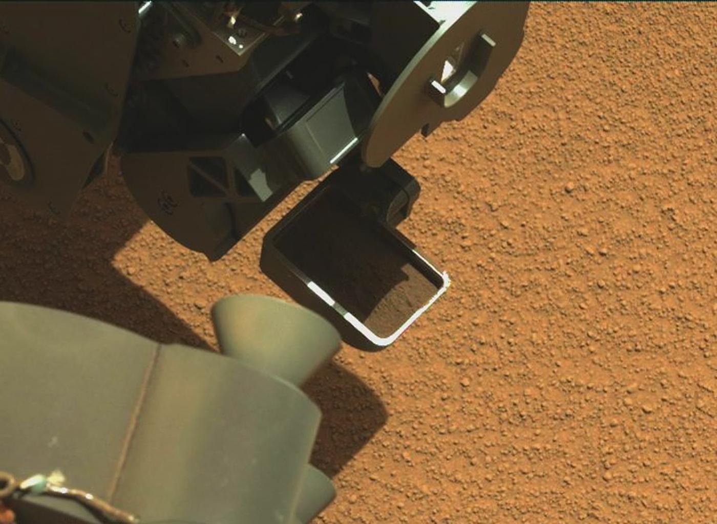
PIA16224:
Curiosity's First Scoop of Mars, in Vibration Movie
Full Resolution:
TIFF
(4.303 MB)
JPEG
(148.8 kB)
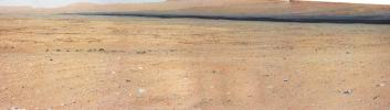
2012-10-04
Mars
Mars Science Laboratory (MSL)
Mastcam
3926x2218x3
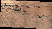
PIA16204:
'Rocknest' From Sol 52 Location
Full Resolution:
TIFF
(26.13 MB)
JPEG
(1.876 MB)
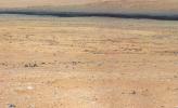
2012-10-03
Mars
Mars Science Laboratory (MSL)
Mastcam
2901x3036x3
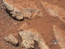
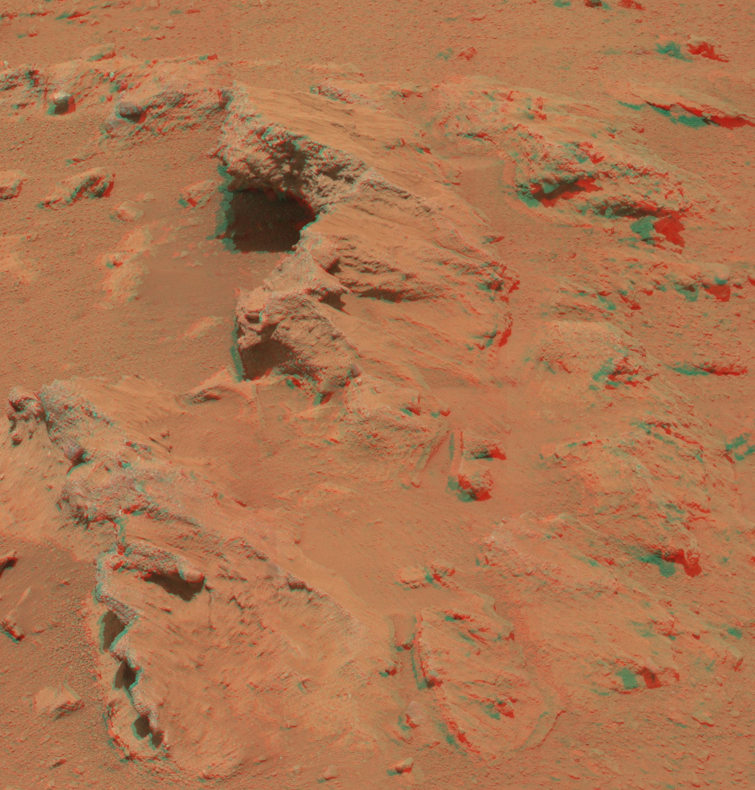
PIA16223:
Martian Streambed Evidence Rock in 3-D
Full Resolution:
TIFF
(26.43 MB)
JPEG
(977.2 kB)
2012-09-27
Mars
Mars Science Laboratory (MSL)
Mastcam
1800x1350x3
PIA16189:
Rock Outcrops on Mars and Earth
Full Resolution:
TIFF
(7.293 MB)
JPEG
(399.8 kB)
2012-09-27
Mars
Mars Science Laboratory (MSL)
Mastcam
960x719x3
PIA16188:
Link to a Watery Past
Full Resolution:
TIFF
(2.072 MB)
JPEG
(143.4 kB)
2012-09-27
Mars
Mars Science Laboratory (MSL)
Mastcam
1280x646x3
PIA16187:
Best View of Goulburn Scour
Full Resolution:
TIFF
(2.482 MB)
JPEG
(227.5 kB)
2012-09-27
Mars
Mars Science Laboratory (MSL)
Mastcam
936x728x3
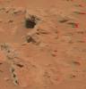
PIA16156:
Remnants of Ancient Streambed on Mars
Full Resolution:
TIFF
(2.045 MB)
JPEG
(96.69 kB)
2012-09-19
Mars
Mars Science Laboratory (MSL)
Mastcam
11909x3375x3
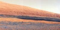
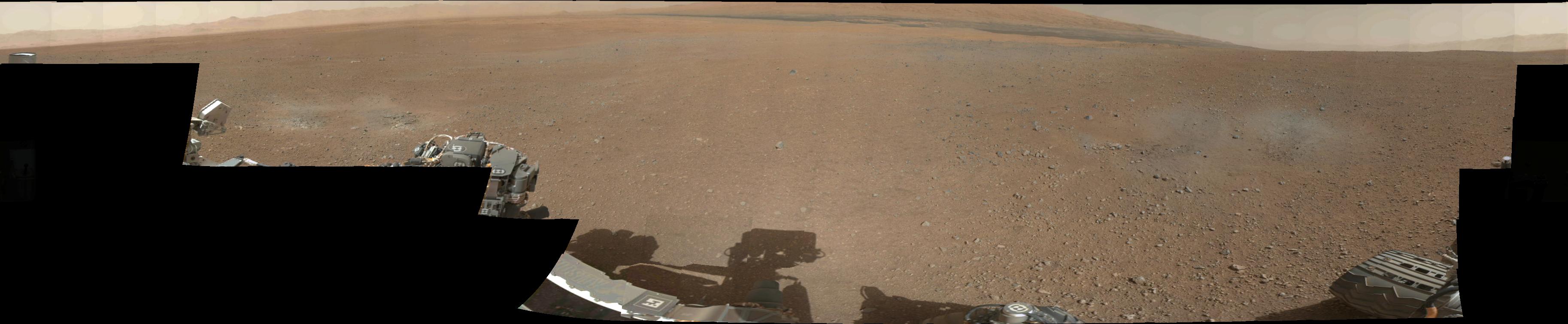
PIA16154:
On the Road to Glenelg
Full Resolution:
TIFF
(120.6 MB)
JPEG
(5.589 MB)
2012-09-19
Mars
Mars Science Laboratory (MSL)
Mastcam
1090x545x1
PIA16152:
Comparing Phobos Views
Full Resolution:
TIFF
(594.9 kB)
JPEG
(16.81 kB)
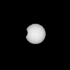
2012-09-19
Mars
Mars Science Laboratory (MSL)
Mastcam
570x570x1
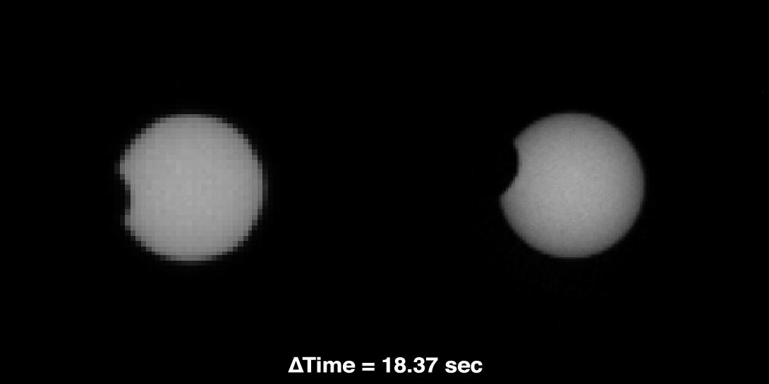
PIA16151:
Phobos in Transit
Full Resolution:
TIFF
(325.4 kB)
JPEG
(6.434 kB)
2012-09-19
Mars
Mars Science Laboratory (MSL)
Mastcam
3823x2333x3
PIA16150:
Dark Bands Run Through Light Layers
Full Resolution:
TIFF
(26.77 MB)
JPEG
(613.9 kB)
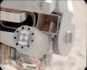
2012-09-12
Mars
Mars Science Laboratory (MSL)
MAHLI
Mastcam
917x688x3
PIA16161:
Hello, MAHLI
Full Resolution:
TIFF
(1.894 MB)
JPEG
(70.73 kB)
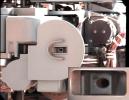
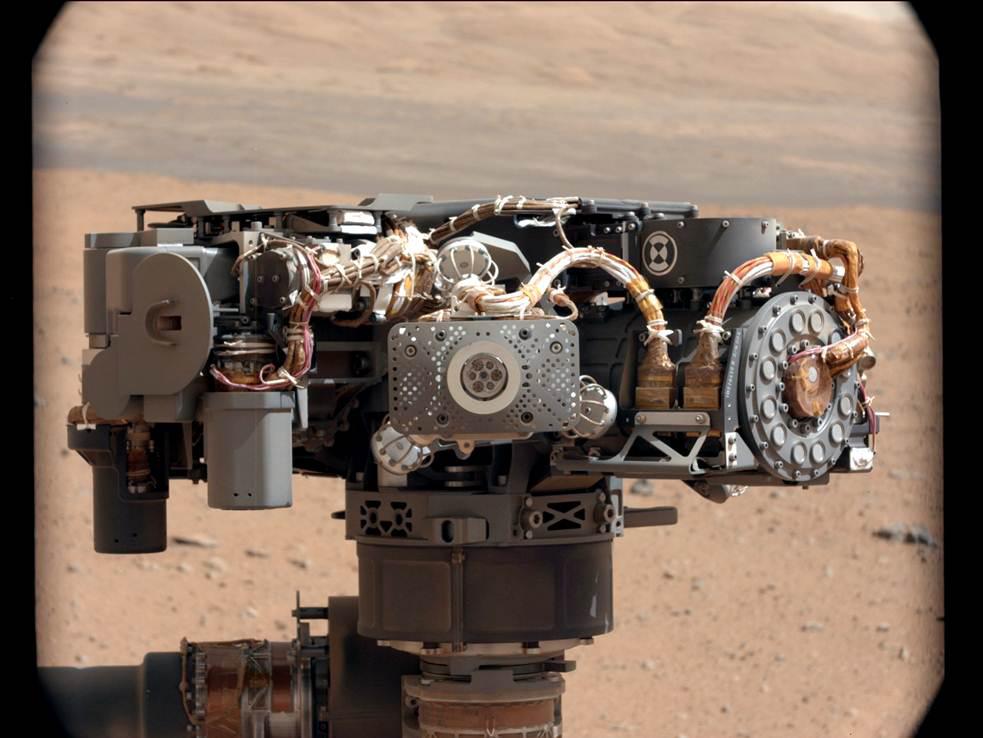
2012-09-12
Mars
Mars Science Laboratory (MSL)
Alpha Particle X-ray Spectrometer (MSL)
Mastcam
983x738x3
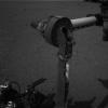
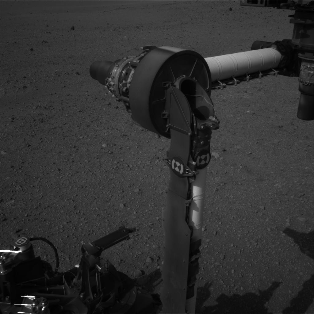
PIA16160:
Portrait of APXS on Mars
Full Resolution:
TIFF
(2.177 MB)
JPEG
(82.27 kB)
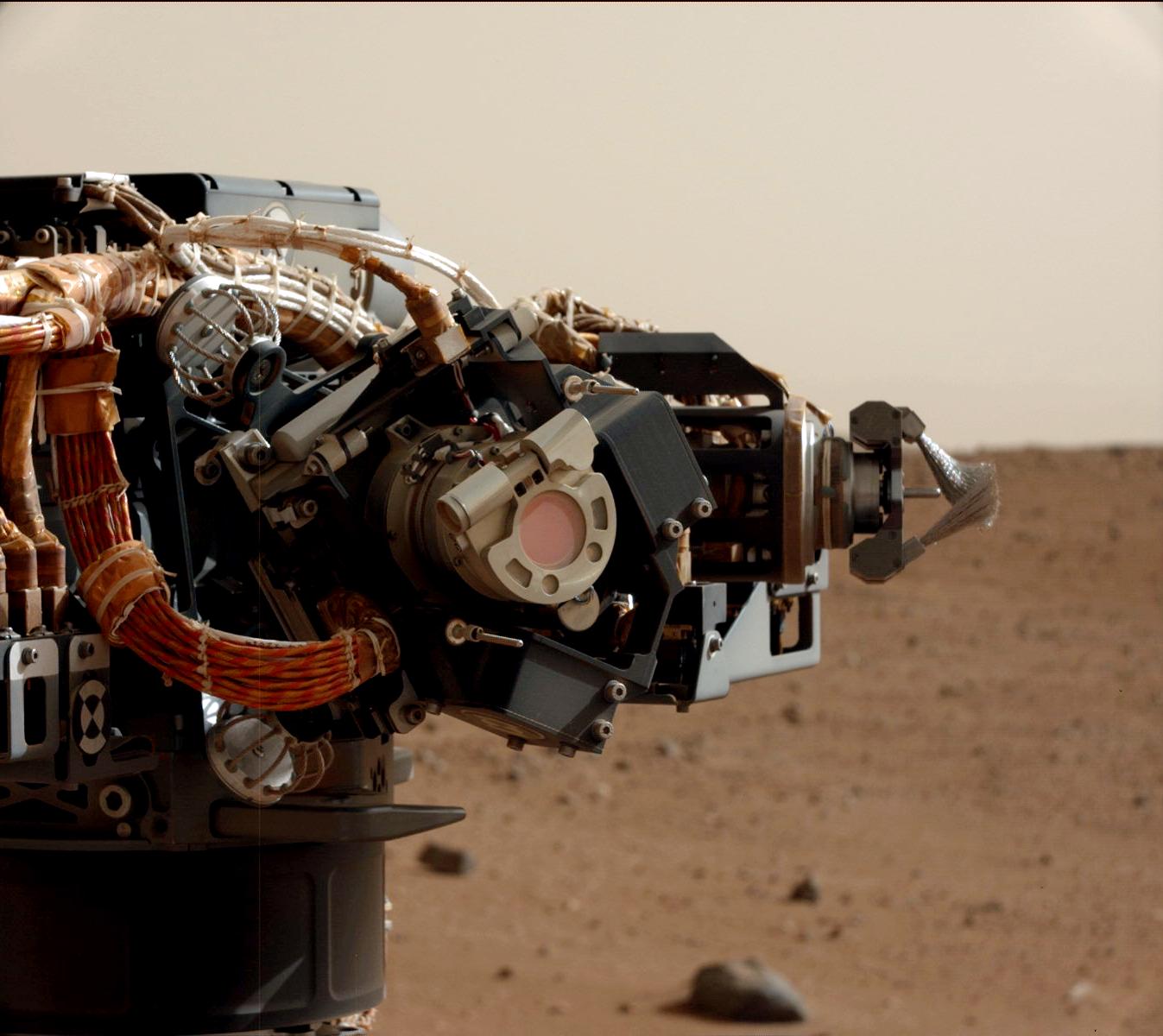
2012-09-06
Mars
Mars Science Laboratory (MSL)
MAHLI
Mastcam
1347x1200x3
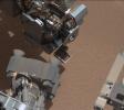
PIA15699:
Camera on Curiosity's Arm as Seen by Camera on Mast
Full Resolution:
TIFF
(4.851 MB)
JPEG
(136.8 kB)
2012-08-27
Mars
Mars Science Laboratory (MSL)
Mastcam
1463x978x3
PIA16105:
Layers at the Base of Mount Sharp
Full Resolution:
TIFF
(4.294 MB)
JPEG
(222.6 kB)
2012-08-27
Mars
Mars Science Laboratory (MSL)
Mastcam
1463x1928x3
PIA16104:
Focusing the 100-millimeter Mastcam
Full Resolution:
TIFF
(8.465 MB)
JPEG
(523.5 kB)
2012-08-27
Mars
Mars Science Laboratory (MSL)
Mastcam
1375x1148x3
PIA16103:
Focusing the 34-millimeter Mastcam
Full Resolution:
TIFF
(4.738 MB)
JPEG
(276.7 kB)
2012-08-27
Mars
Mars Science Laboratory (MSL)
Mastcam
14494x3560x3
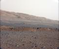
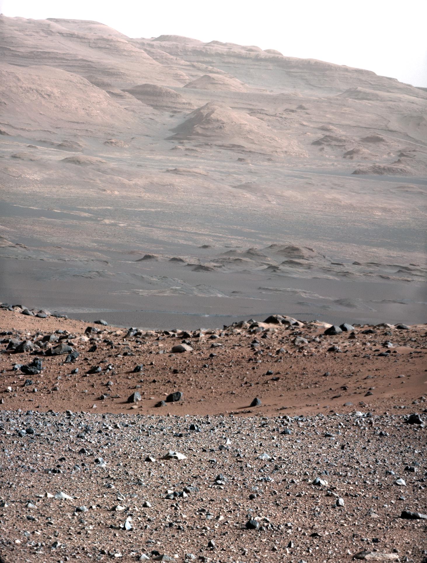
PIA16101:
Landing Site Panorama, with the Heights of Mount Sharp
Full Resolution:
TIFF
(154.8 MB)
JPEG
(6.485 MB)
2012-08-27
Mars
Mars Science Laboratory (MSL)
Mastcam
3313x1660x3
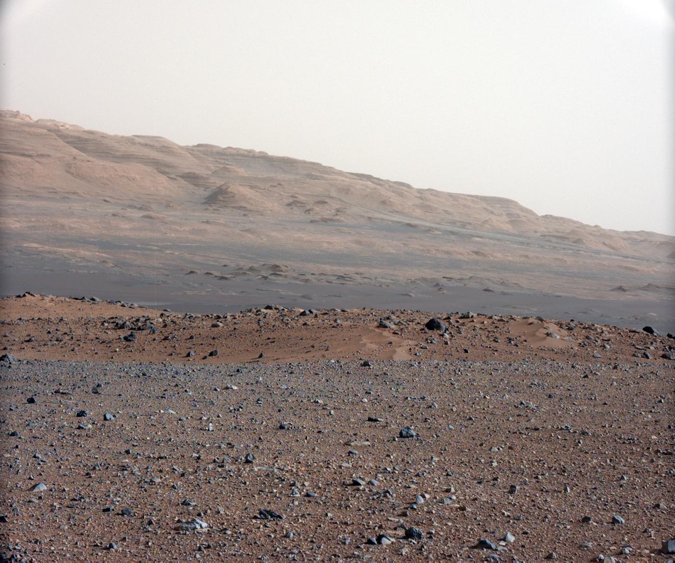
PIA16099:
Getting to Know Mount Sharp
Full Resolution:
TIFF
(16.51 MB)
JPEG
(1.314 MB)
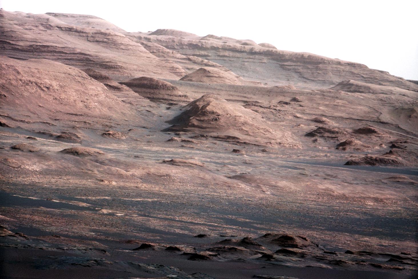
2012-08-21
Mars
Mars Science Laboratory (MSL)
Mastcam
1024x1024x1
PIA16086:
Part of Curiosity's Outstretched Arm, Full-Resolution
Full Resolution:
TIFF
(1.05 MB)
JPEG
(103.8 kB)
2012-08-17
Mars
Mars Science Laboratory (MSL)
Mastcam
258x276x3
PIA16073:
Curiosity's First Rock Star, Up-Close
Full Resolution:
TIFF
(213.9 kB)
JPEG
(10.32 kB)
2012-08-12
Mars
Mars Science Laboratory (MSL)
Mastcam
1497x1123x3
PIA16054:
Exposed by Rocket Engine Blasts
Full Resolution:
TIFF
(5.045 MB)
JPEG
(231.9 kB)
2012-08-12
Mars
Mars Science Laboratory (MSL)
Mastcam
1785x1267x3
PIA16053:
Destination Mount Sharp
Full Resolution:
TIFF
(6.788 MB)
JPEG
(208.9 kB)
2012-08-12
Mars
Mars Science Laboratory (MSL)
Mastcam
1449x1089x3
PIA16052:
Wall of Gale Crater
Full Resolution:
TIFF
(4.736 MB)
JPEG
(89.12 kB)
2012-08-11
Mars
Mars Science Laboratory (MSL)
Mastcam
29184x4144x3
PIA16051:
First High-Resolution Color Mosaic of Curiosity's Mastcam Images
Full Resolution:
TIFF
(362.8 MB)
JPEG
(9.043 MB)
2012-08-09
Mars
Mars Science Laboratory (MSL)
Mastcam
1920x1080x3
PIA16035:
A Set of Blast Marks in Color, Right Side
Full Resolution:
TIFF
(6.223 MB)
JPEG
(139.1 kB)
2012-08-09
Mars
Mars Science Laboratory (MSL)
Mastcam
1920x1080x3
PIA16034:
A Set of Blast Marks in Color, Left Side
Full Resolution:
TIFF
(6.223 MB)
JPEG
(108.2 kB)
2012-08-09
Mars
Mars Science Laboratory (MSL)
Mastcam
1920x1080x3
PIA16032:
Mount Sharp on the Horizon
Full Resolution:
TIFF
(6.223 MB)
JPEG
(211.5 kB)
2012-08-09
Mars
Mars Science Laboratory (MSL)
Mastcam
3653x755x3
PIA16029:
Gale Crater Vista, in Glorious Color
Full Resolution:
TIFF
(8.277 MB)
JPEG
(271.7 kB)
1-100
101-200
201-300
301-400
Currently displaying images:
301 - 340
of 340


