Annotated Version
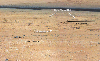
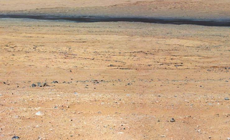
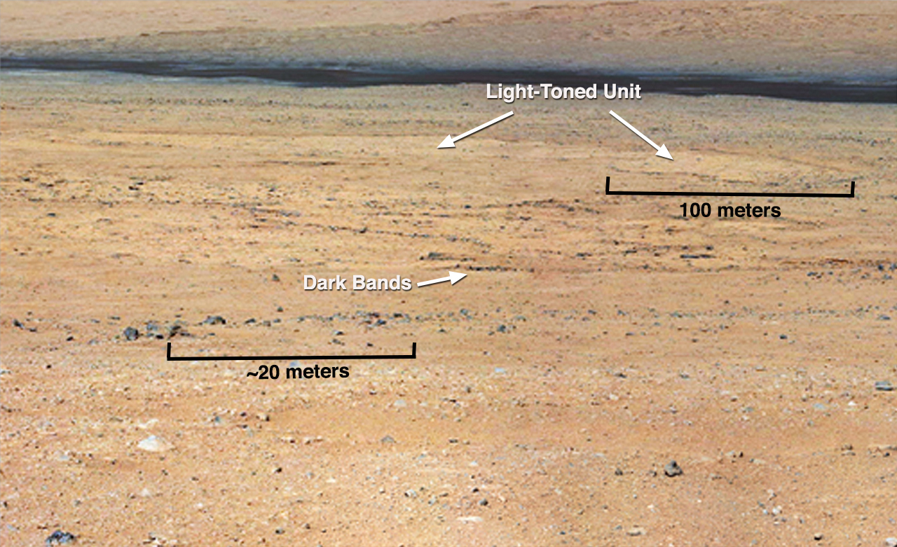
Click on the image for larger versionThis mosaic from the Mast Camera on NASA's Curiosity rover shows a close-up view looking toward the "Glenelg" area, where three different terrain types come together. All three types are observed from orbit with the High-Resolution Imaging Science Experiment (HiRISE) camera on NASA's Mars Reconnaissance Orbiter. By driving there, Curiosity will be able to explore them.
One of these terrain types is light-toned with well-developed layering, which likely records the deposition of sedimentary materials. There are also black bands that run through the area and might constitute additional layers that alternate with the light-toned layer(s). The black bands are not easily seen from orbit and are on the order of about 3.3-feet (1-meter) thick. Both of these layer types are important science targets.
This mosaic is composed of images taken with the Mastcam 100-millimeter camera.


