Click on an image for detailed information
Click on a column heading to sort in ascending or descending order

My
List |
Addition Date
|
Target
|
Mission
|
Instrument
|
Size
|

|
2010-01-20 |
Mars
|
2001 Mars Odyssey
|
THEMIS
|
1451x2779x1 |
|
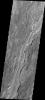
-
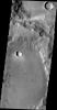
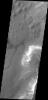
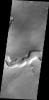
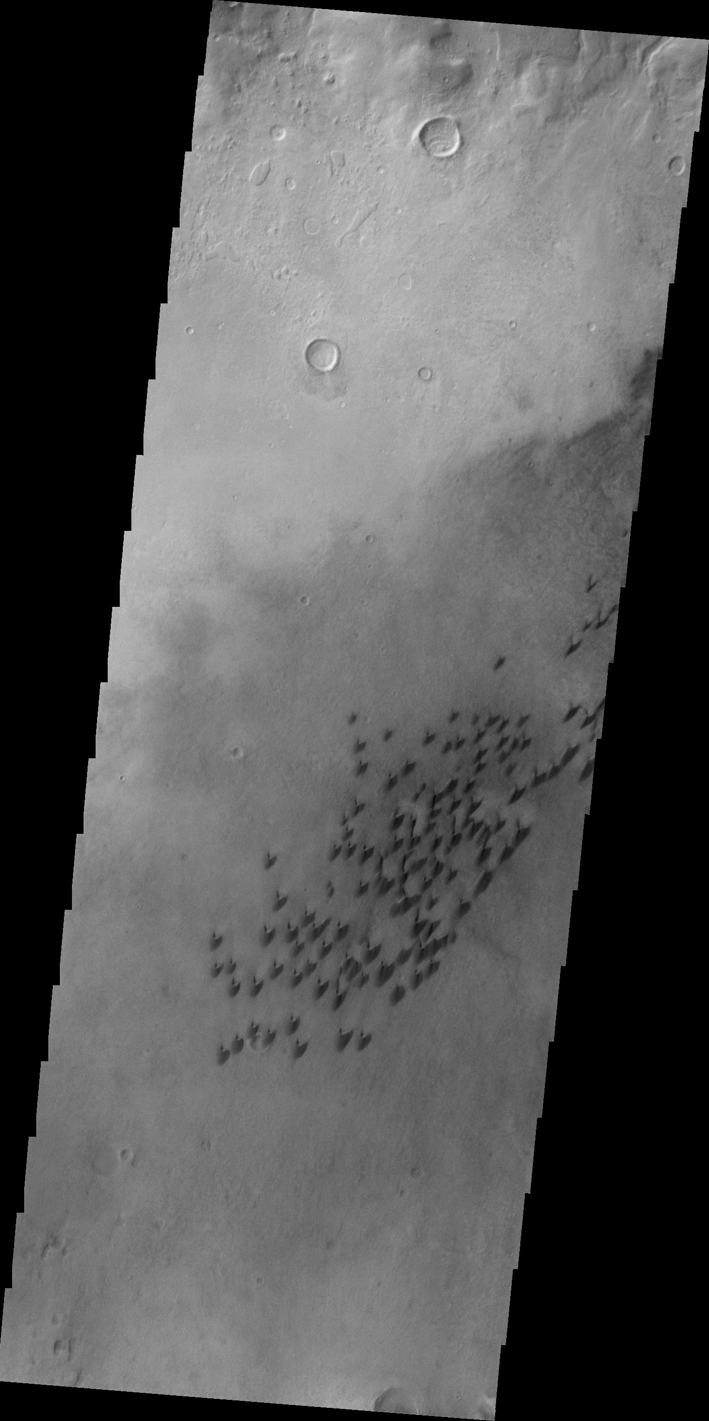
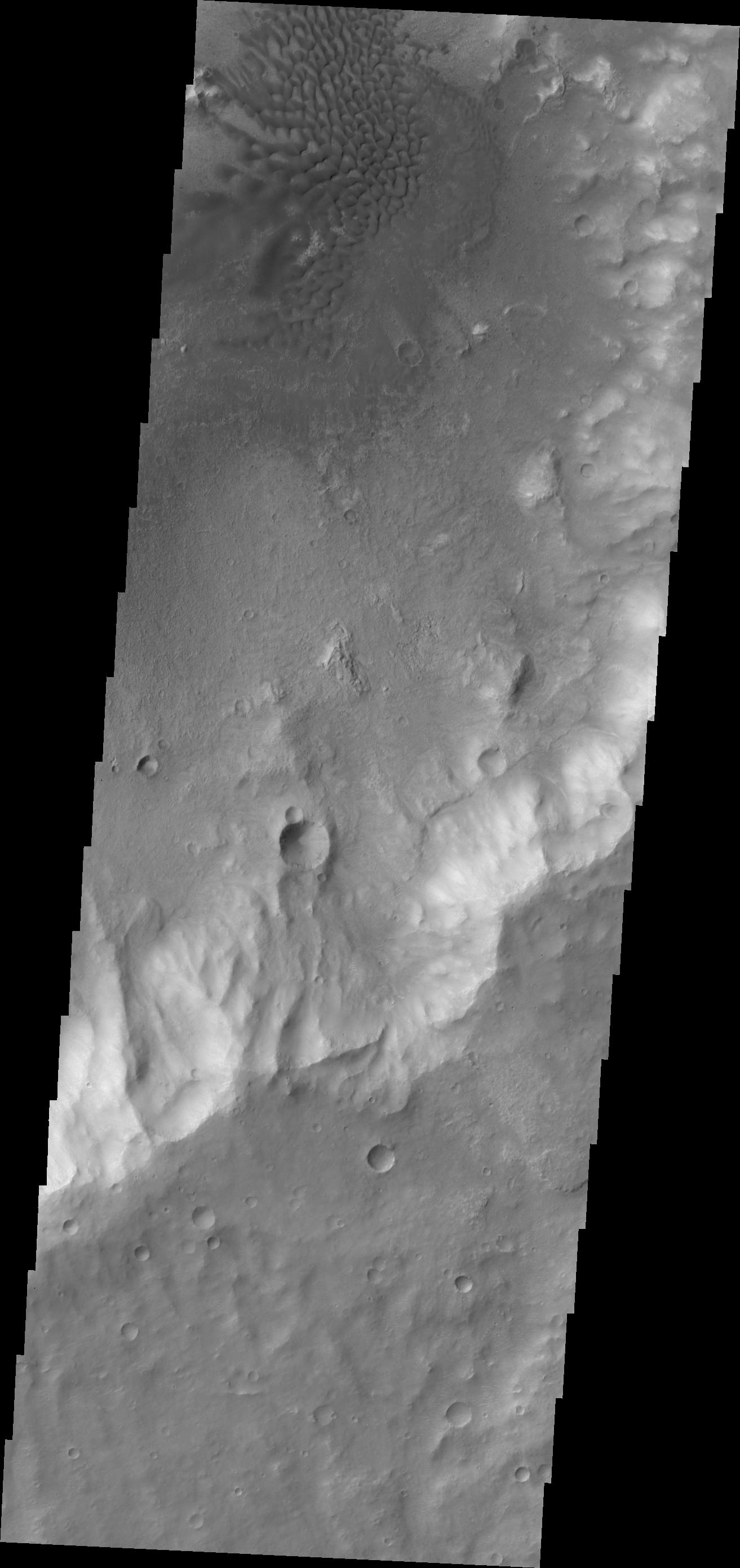
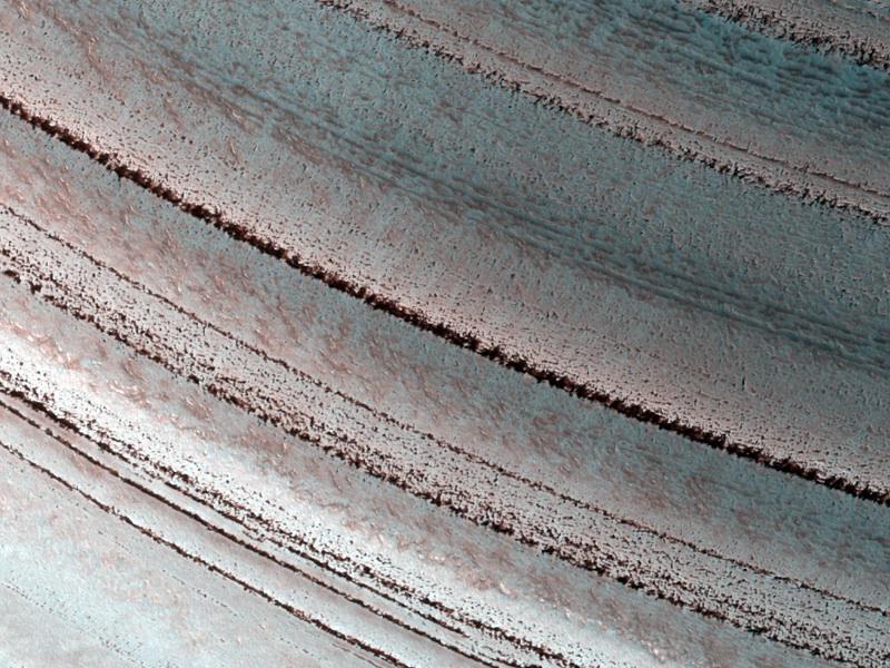
PIA12432:
-
Dark Slope Streaks near Henry Crater
Full Resolution:
TIFF
(4.037 MB)
JPEG
(445.5 kB)
|
|
|
2010-01-21 |
Mars
|
2001 Mars Odyssey
|
THEMIS
|
1535x2975x1 |
|
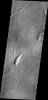
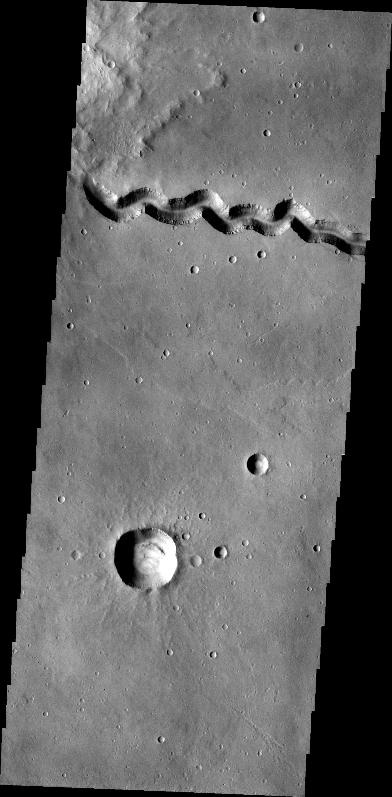
-
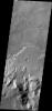
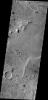
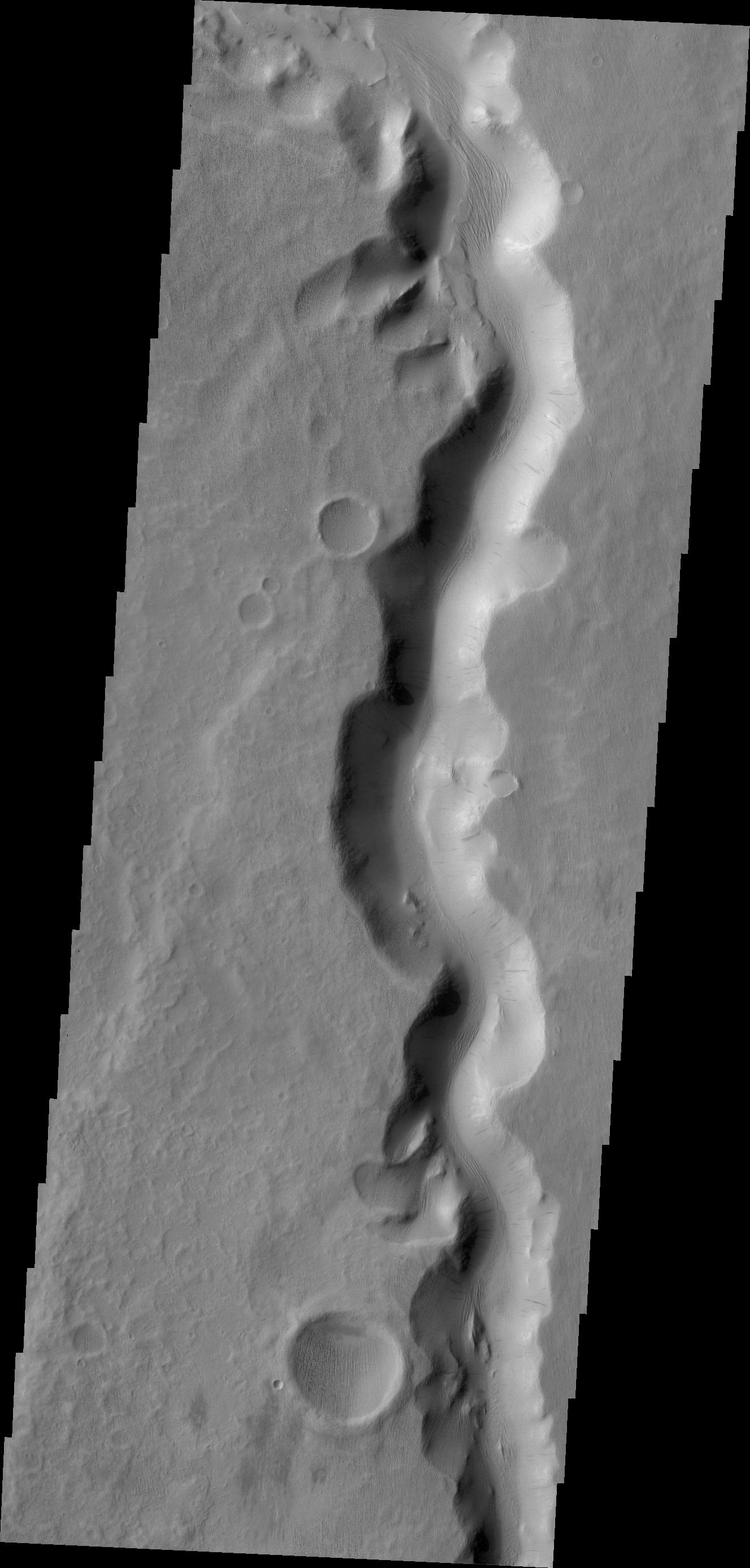
PIA12433:
-
Uzboi Vallis
Full Resolution:
TIFF
(4.572 MB)
JPEG
(436.6 kB)
|
|
|
2010-01-21 |
Mars
|
Mars Exploration Rover (MER)
|
Hazcam
|
1024x1024x1 |
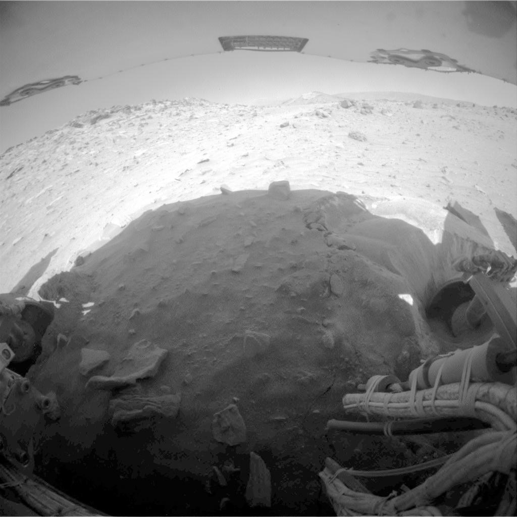
|
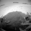
-
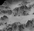
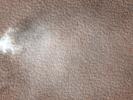
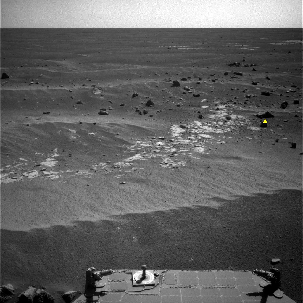
PIA12497:
-
Movement During Backward Drive, Sols 2147

Full Resolution:
TIFF
(1.05 MB)
JPEG
(95.36 kB)
|
|
|
2010-01-21 |
Mars
|
Mars Exploration Rover (MER)
|
Panoramic Camera
|
1024x1024x3 |
|
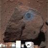
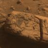
-
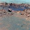
PIA12434:
-
Sample from Deep in Martian Crust: 'Marquette Island'
Full Resolution:
TIFF
(3.15 MB)
JPEG
(165.4 kB)
|
|
|
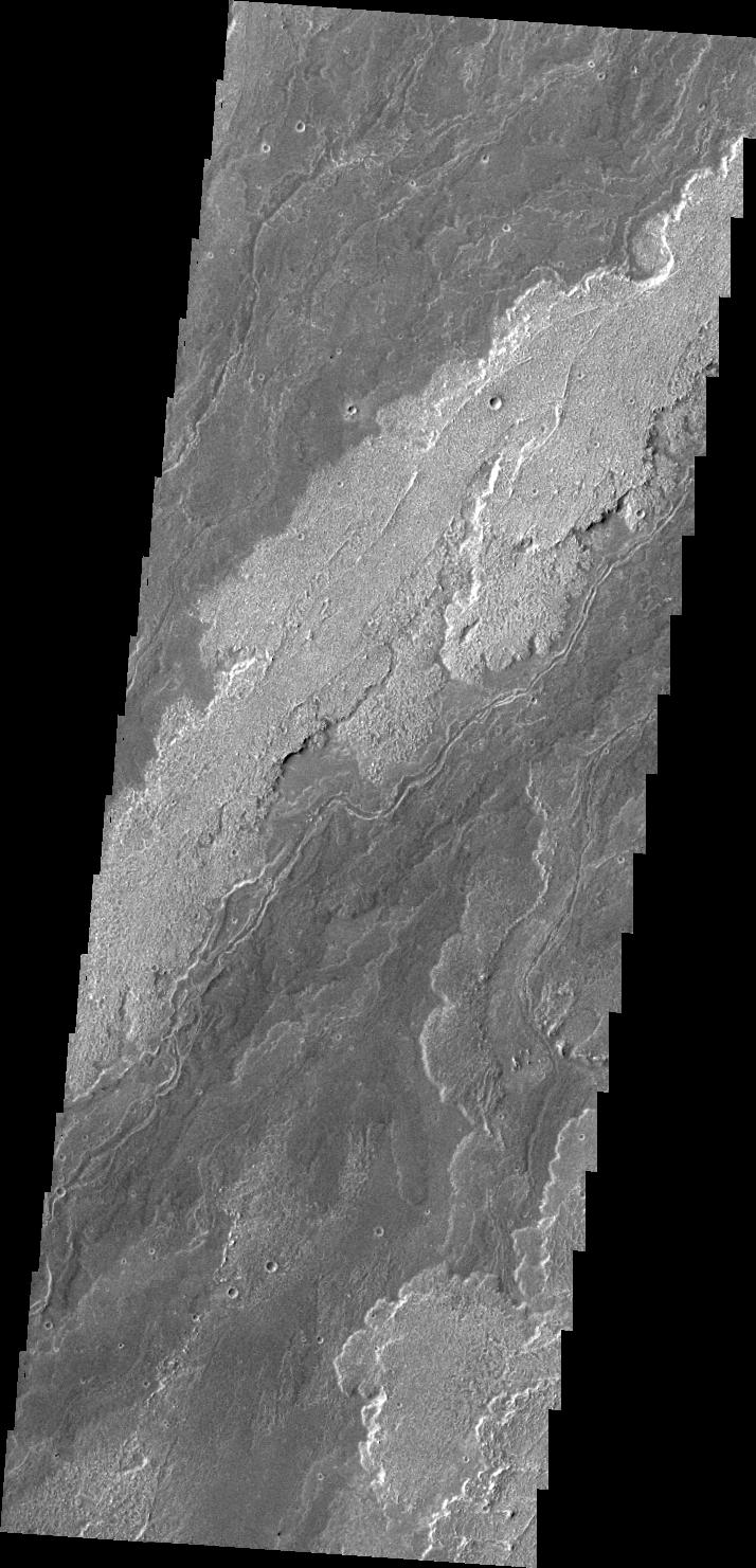
2010-01-22 |
Mars
|
2001 Mars Odyssey
|
THEMIS
|
714x1481x1 |
|
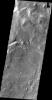
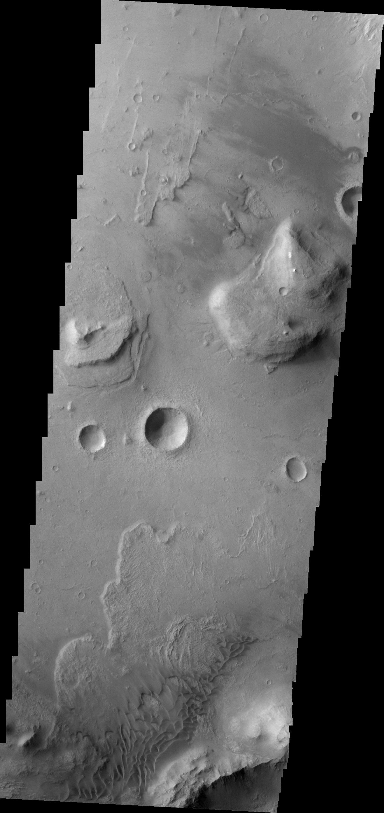
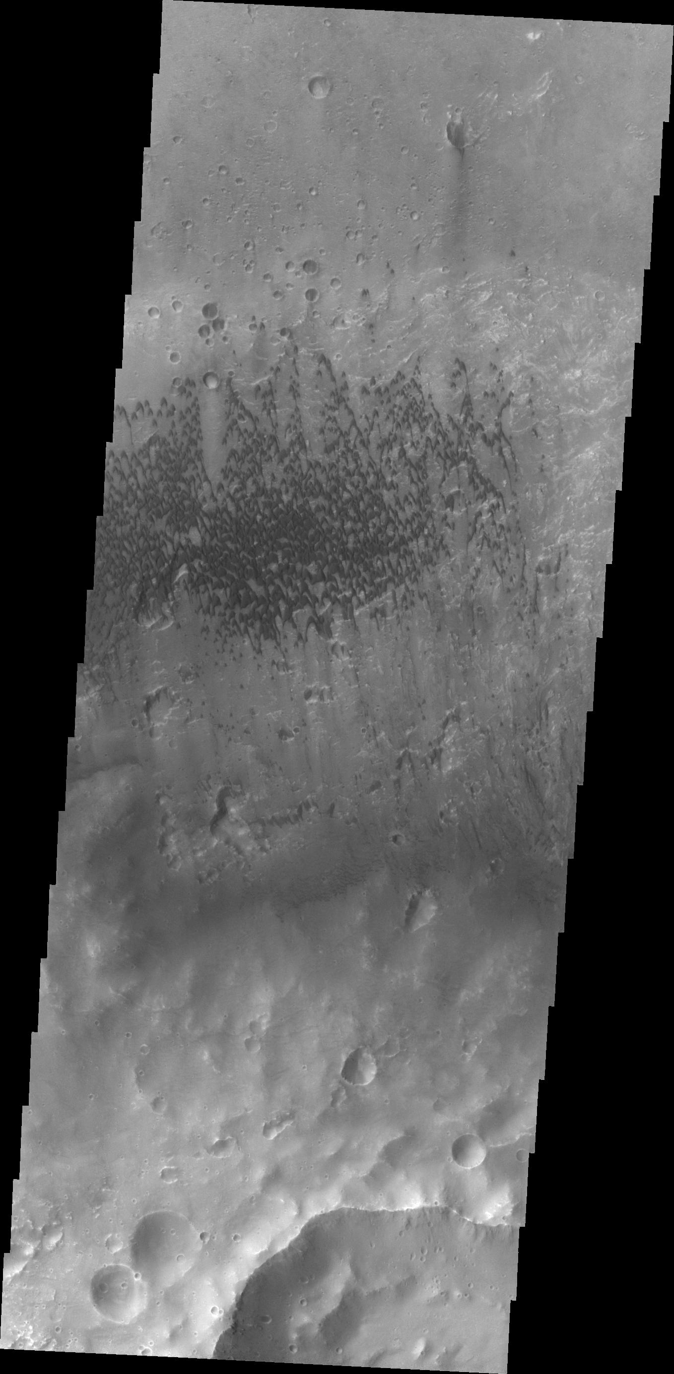
-
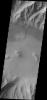
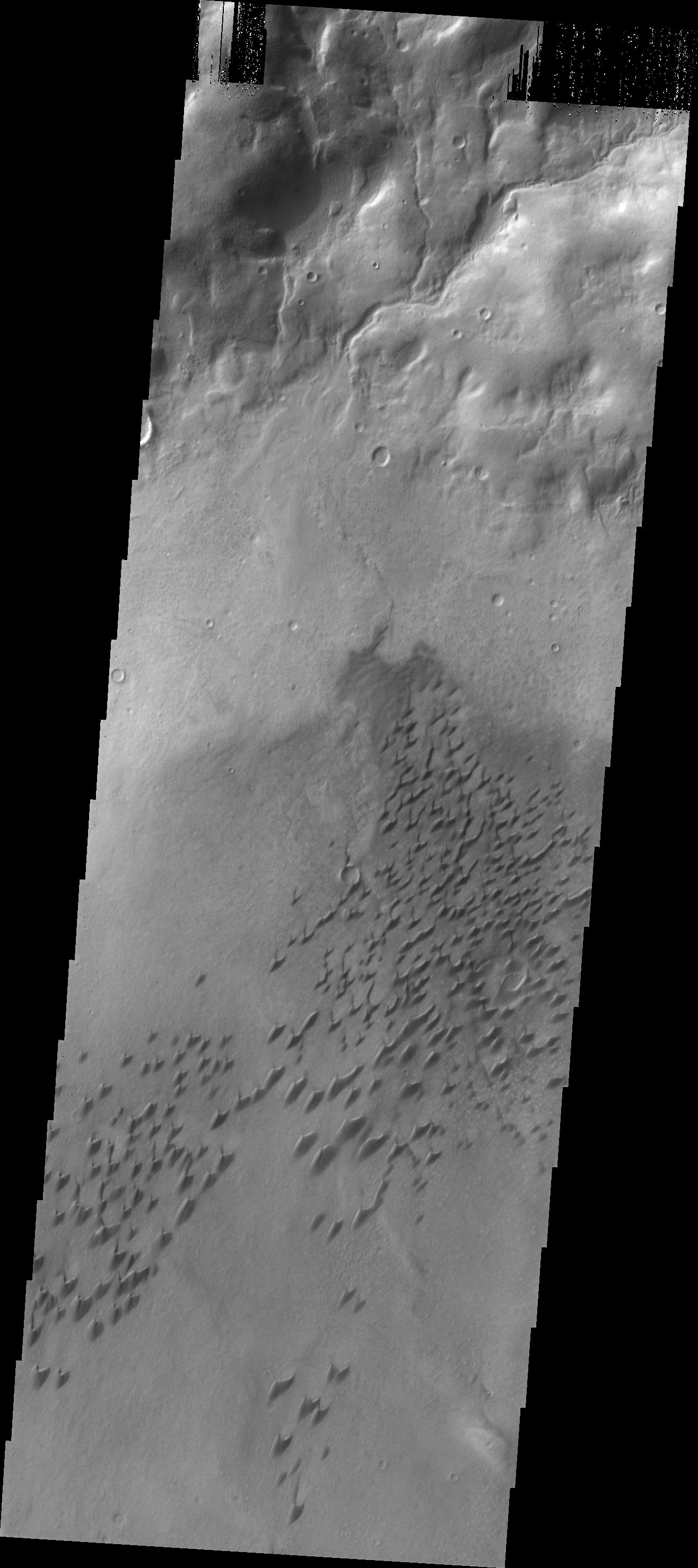
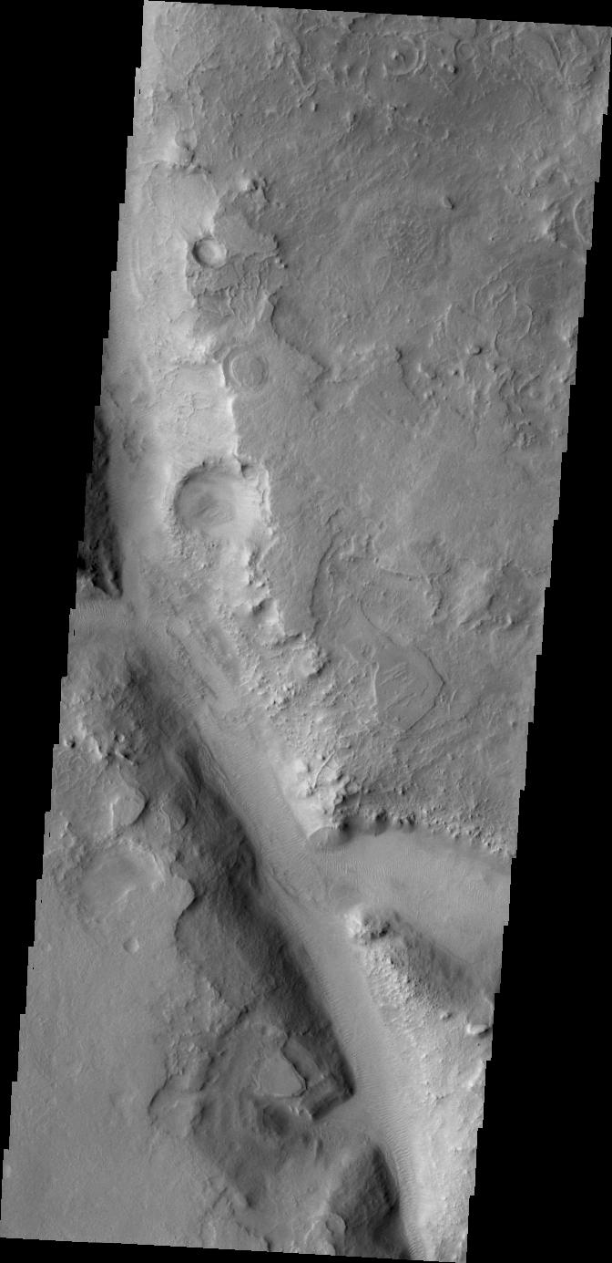
PIA12435:
-
Arsia Mons Flows
Full Resolution:
TIFF
(1.059 MB)
JPEG
(161.2 kB)
|
|
|
2010-01-25 |
Mars
|
2001 Mars Odyssey
|
THEMIS
|
1361x2756x1 |
|
-
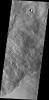
PIA12436:
-
Moreux Crater
Full Resolution:
TIFF
(3.755 MB)
JPEG
(231 kB)
|
|
|
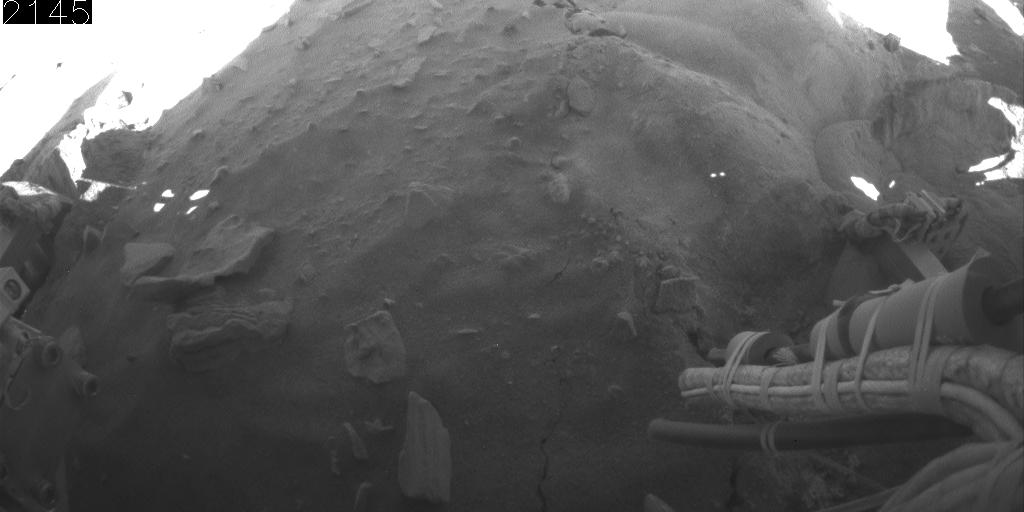
2010-01-26 |
Mars
|
Mars Exploration Rover (MER)
|
Hazcam
|
1024x512x1 |
|
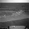
-
PIA12500:
-
Rear Camera View of Backward Drive, Sols 2145-2154
Full Resolution:
TIFF
(525 kB)
JPEG
(44.5 kB)
|
|
|
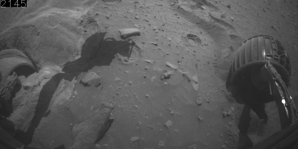
2010-01-26 |
Mars
|
Mars Exploration Rover (MER)
|
Hazcam
|
1024x512x1 |
|
-
PIA12501:
-
Front Camera View of Backward Drive, Sols 2145-2154
Full Resolution:
TIFF
(525 kB)
JPEG
(48.84 kB)
|
|
|
2010-01-26 |
Mars
|
2001 Mars Odyssey
|
THEMIS
|
1457x2782x1 |

|
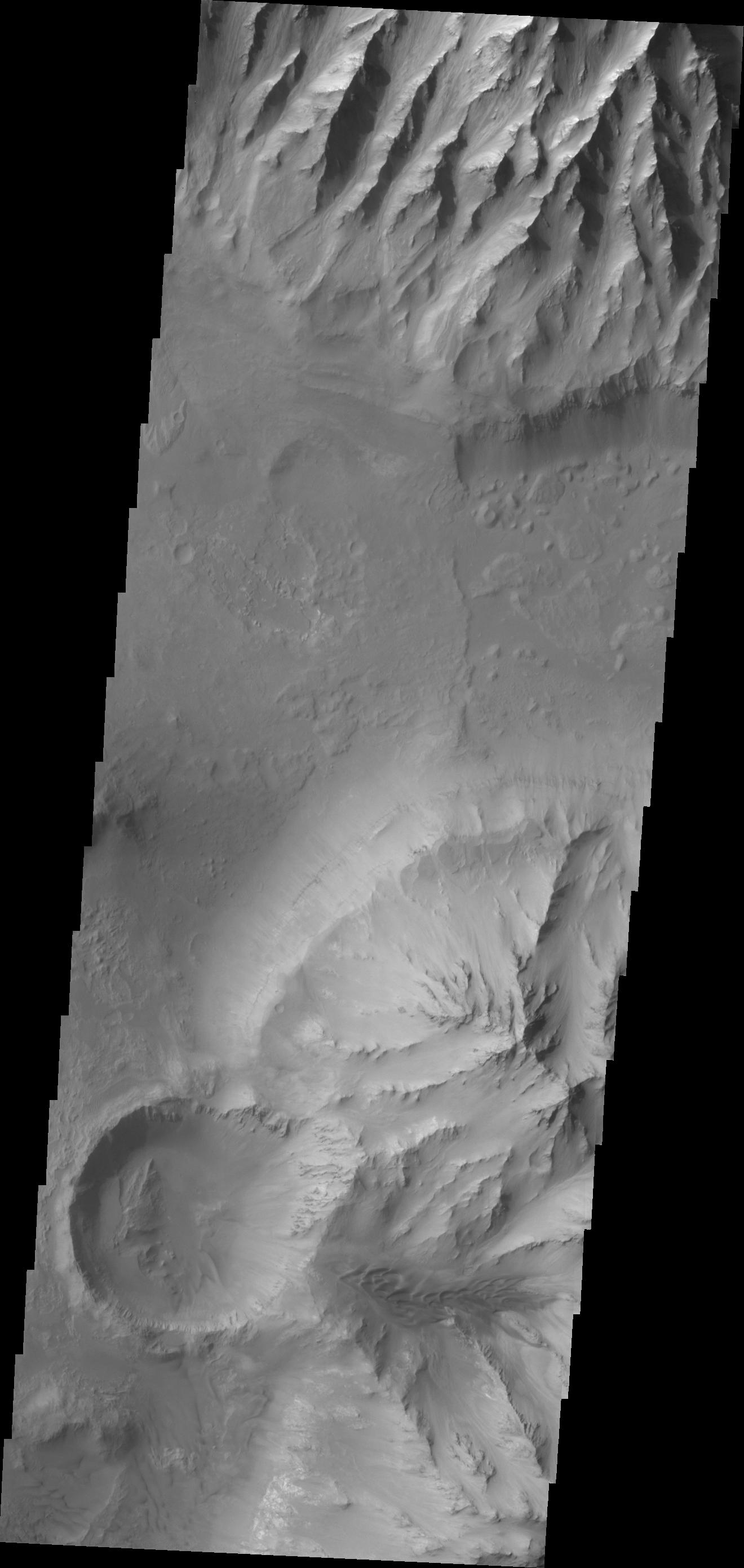
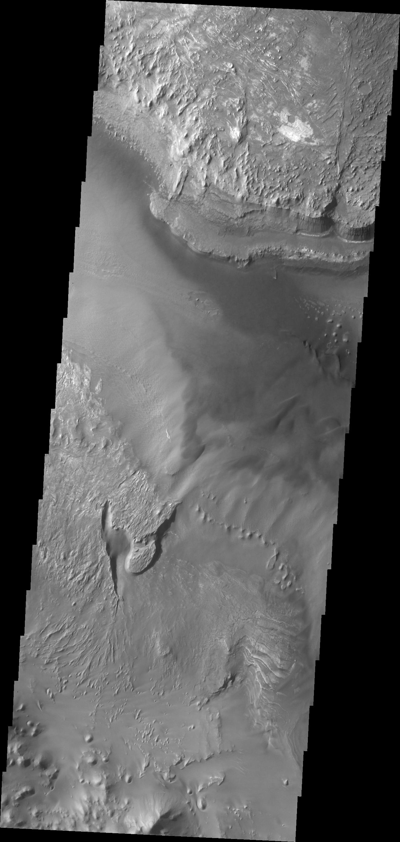
-
PIA12437:
-
Wind Power
Full Resolution:
TIFF
(4.058 MB)
JPEG
(666.7 kB)
|
|
|
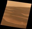
2010-01-27 |
Mars
|
Mars Global Surveyor (MGS)
|
|
6000x6958x3 |
|
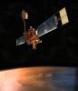
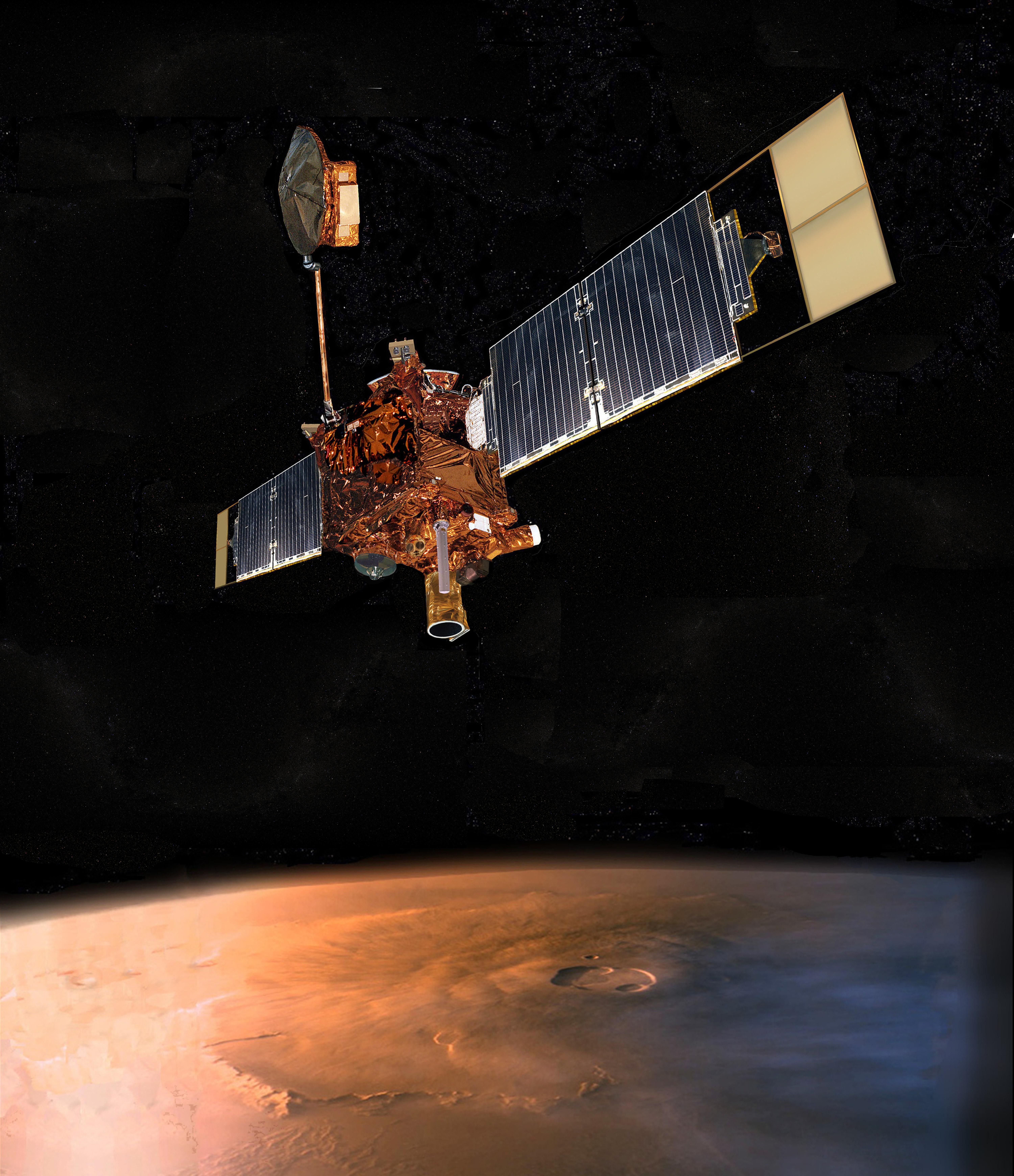
-
PIA17486:
-
Mars Global Surveyor (Artist's Concept)
Full Resolution:
TIFF
(125.3 MB)
JPEG
(4.604 MB)
|
|
|
2010-01-27 |
Mars
|
2001 Mars Odyssey
|
THEMIS
|
1470x2799x1 |

|
-
PIA12438:
-
Dunes in Tyrrhena Terra
Full Resolution:
TIFF
(4.119 MB)
JPEG
(354.5 kB)
|
|
|
2010-01-28 |
Mars
|
2001 Mars Odyssey
|
THEMIS
|
1500x2982x1 |

|
-
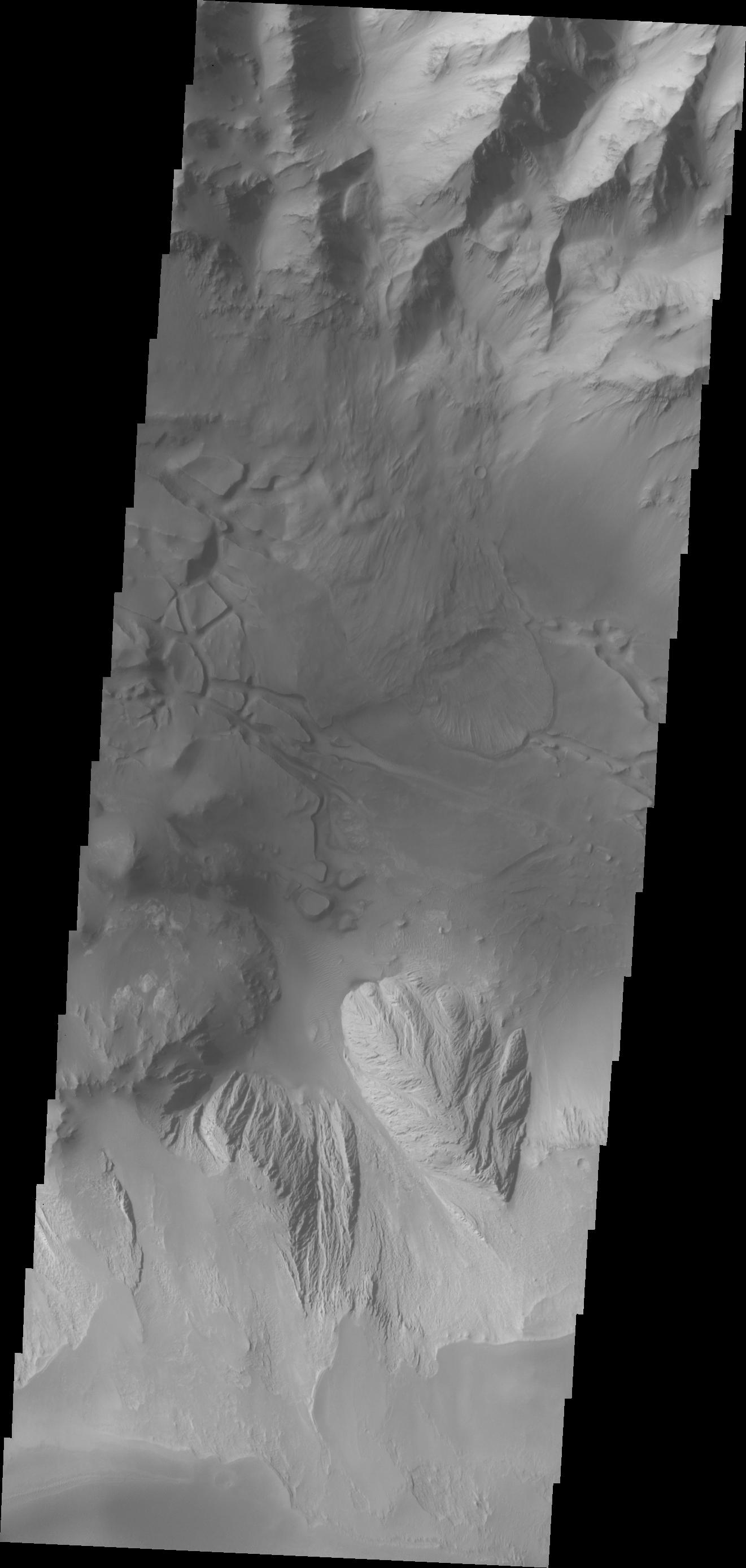
PIA12439:
-
Landslide Southwest of Holden Crater
Full Resolution:
TIFF
(4.478 MB)
JPEG
(386.3 kB)
|
|
|
2010-01-29 |
Mars
|
2001 Mars Odyssey
|
THEMIS
|
1438x2798x1 |
|
-
PIA12440:
-
Yardangs on Zephyria Planum
Full Resolution:
TIFF
(4.028 MB)
JPEG
(570 kB)
|
|
|
2010-02-01 |
Mars
|
2001 Mars Odyssey
|
THEMIS
|
1602x3025x1 |

|
-
PIA12441:
-
Proctor Crater Dunes
Full Resolution:
TIFF
(4.851 MB)
JPEG
(294.4 kB)
|
|
|
2010-02-02 |
Mars
|
2001 Mars Odyssey
|
THEMIS
|
1409x2824x1 |
|
-
PIA12442:
-
Arkhangelsky Crater
Full Resolution:
TIFF
(3.984 MB)
JPEG
(277.9 kB)
|
|
|
2010-02-03 |
Mars
|
2001 Mars Odyssey
|
THEMIS
|
1353x2764x1 |
|
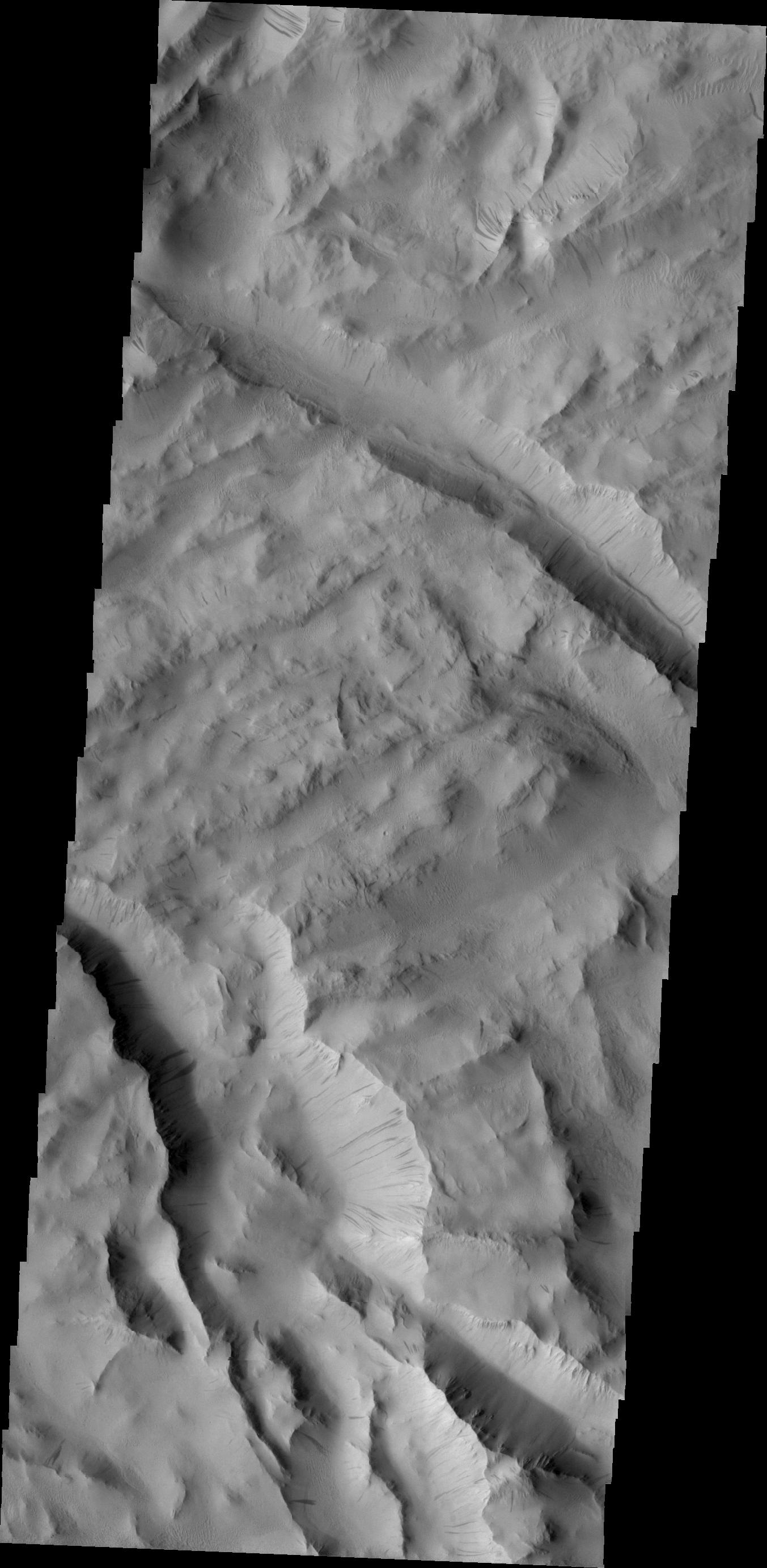
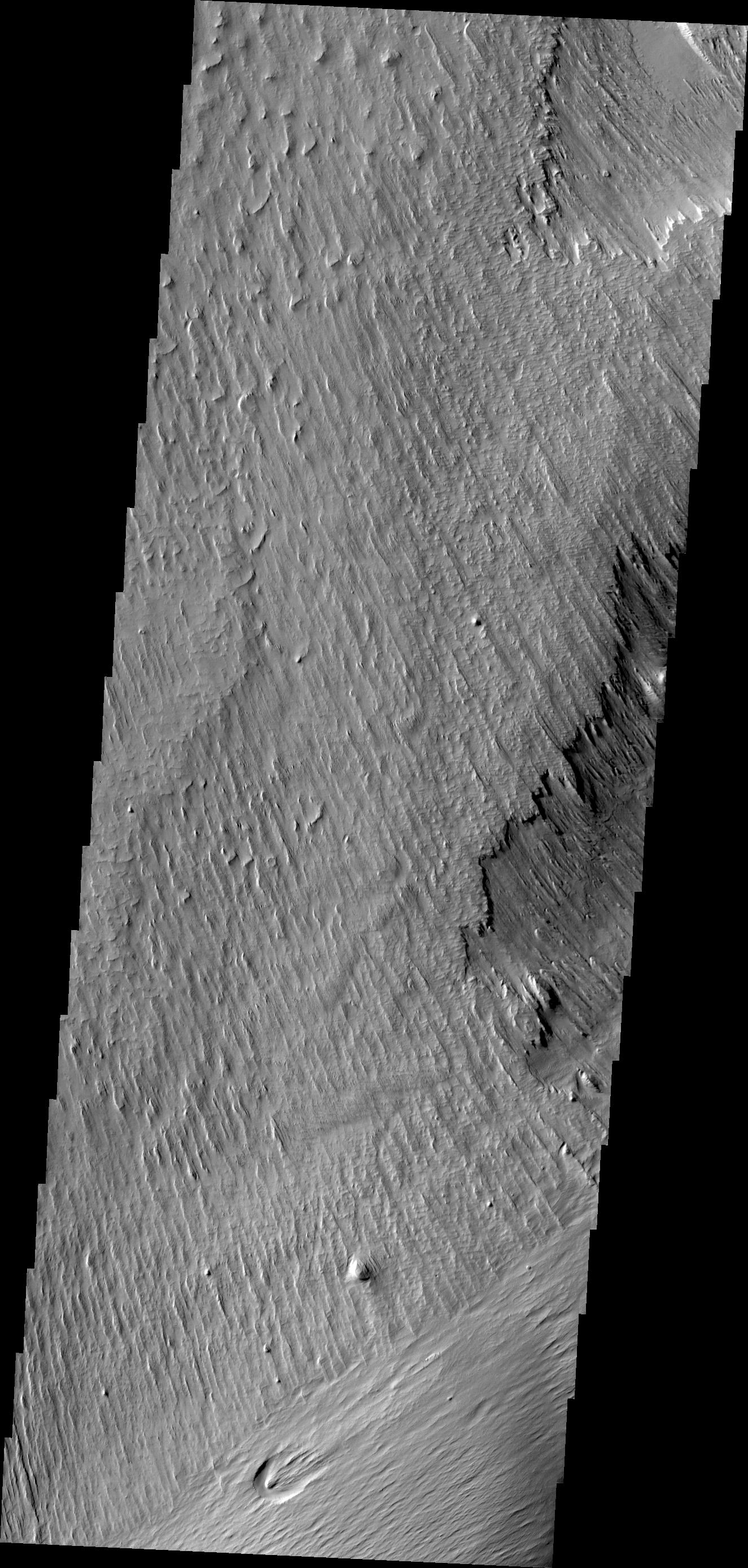
-
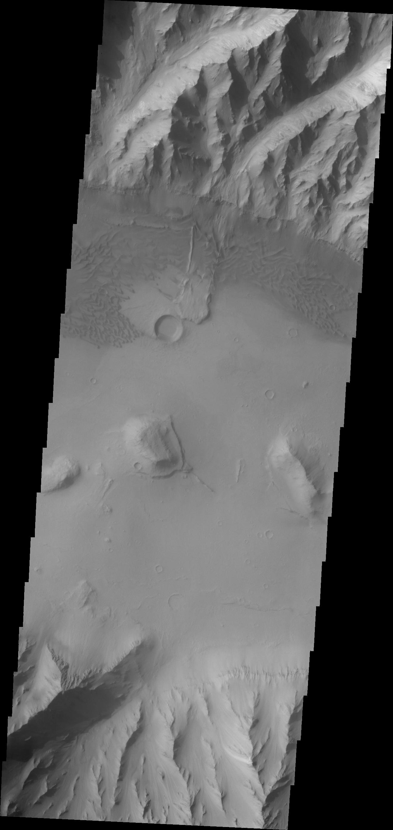
PIA12454:
-
Lycus Sulci
Full Resolution:
TIFF
(3.744 MB)
JPEG
(293.8 kB)
|
|
|
2010-02-04 |
Mars
|
2001 Mars Odyssey
|
THEMIS
|
1360x2761x1 |

|
-
PIA12455:
-
Patapsco Vallis
Full Resolution:
TIFF
(3.759 MB)
JPEG
(441 kB)
|
|
|
2010-02-05 |
Mars
|
2001 Mars Odyssey
|
THEMIS
|
1316x2787x1 |

|
-
PIA12456:
-
Coprates Chasma
Full Resolution:
TIFF
(3.672 MB)
JPEG
(284.3 kB)
|
|
|
2010-02-08 |
Mars
|
2001 Mars Odyssey
|
THEMIS
|
1314x2779x1 |
|
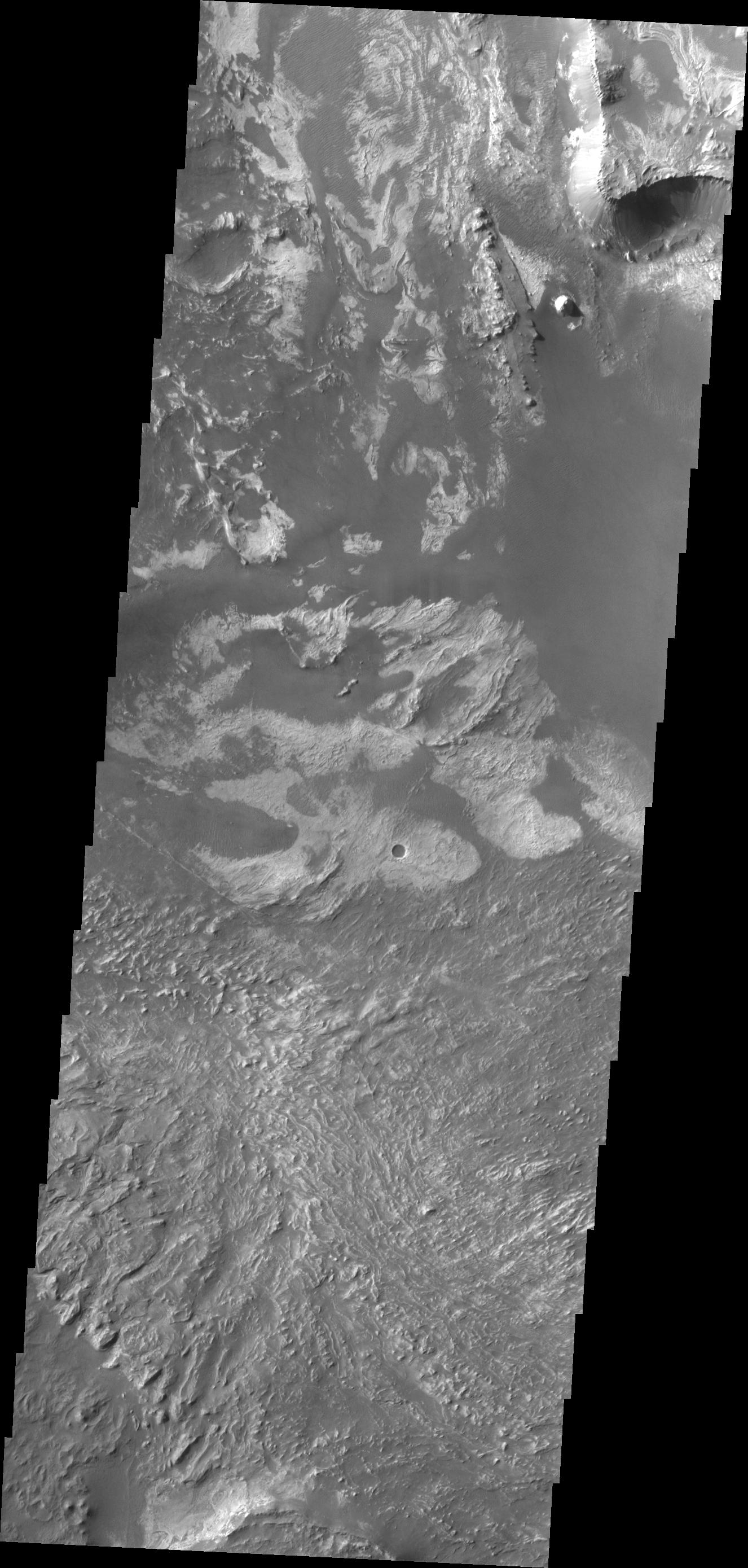
-
PIA12444:
-
Tithonium Chasma
Full Resolution:
TIFF
(3.656 MB)
JPEG
(305.2 kB)
|
|
|
2010-02-09 |
Mars
|
2001 Mars Odyssey
|
THEMIS
|
694x1467x1 |
|
-
PIA12445:
-
Several Landslides on Coprates Chasma
Full Resolution:
TIFF
(1.019 MB)
JPEG
(63.18 kB)
|
|
|
2010-02-10 |
Mars
|
2001 Mars Odyssey
|
THEMIS
|
1302x2778x1 |
|
-
PIA12446:
-
Coprates Catena
Full Resolution:
TIFF
(3.621 MB)
JPEG
(366.6 kB)
|
|
|
2010-02-11 |
Mars
|
Mars Reconnaissance Orbiter (MRO)
|
CRISM
HiRISE
|
1500x709x1 |
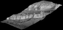
|
-
PIA12507:
-
Perspective View of Layered Mound in Gale Crater, Mars
Full Resolution:
TIFF
(1.065 MB)
JPEG
(89.06 kB)
|
|
|
2010-02-11 |
Mars
|
Mars Reconnaissance Orbiter (MRO)
|
HiRISE
|
999x1750x3 |
|
-
PIA12508:
-
Layers in Lower Formation of Gale Crater Mound
Full Resolution:
TIFF
(5.252 MB)
JPEG
(304.5 kB)
|
|
|
2010-02-11 |
Mars
|
Mars Reconnaissance Orbiter (MRO)
|
HiRISE
|
996x1750x3 |
|
-
PIA12509:
-
Layers in Upper Formation of Gale Crater Mound
Full Resolution:
TIFF
(5.236 MB)
JPEG
(212 kB)
|
|
|
2010-02-11 |
Mars
|
2001 Mars Odyssey
|
THEMIS
|
1333x2774x1 |

|
-
PIA12447:
-
Dark Slope Streaks
Full Resolution:
TIFF
(3.702 MB)
JPEG
(405.2 kB)
|
|
|
2010-02-12 |
Mars
|
Mars Exploration Rover (MER)
|
Hazcam
|
1024x1024x1 |
|
-
PIA12457:
-
Spirit's Rear View After Parking for Fourth Winter
Full Resolution:
TIFF
(1.05 MB)
JPEG
(103.2 kB)
|
|
|
2010-02-12 |
Mars
|
2001 Mars Odyssey
|
THEMIS
|
1314x2780x1 |
|
-
PIA12458:
-
Dunes in Tyrrhena Terra
Full Resolution:
TIFF
(3.657 MB)
JPEG
(319.4 kB)
|
|
|
2010-02-15 |
Mars
|
2001 Mars Odyssey
|
THEMIS
|
1326x2781x1 |
|
-
PIA12450:
-
Capri Chasma
Full Resolution:
TIFF
(3.692 MB)
JPEG
(202.6 kB)
|
|
|
2010-02-16 |
Mars
|
2001 Mars Odyssey
|
THEMIS
|
1307x2791x1 |
|
-
PIA12451:
-
Holden Crater Fan
Full Resolution:
TIFF
(3.652 MB)
JPEG
(317.6 kB)
|
|
|
2010-02-16 |
Mars
|
Mars Exploration Rover (MER)
|
Panoramic Camera
|
1024x1024x3 |
|
-
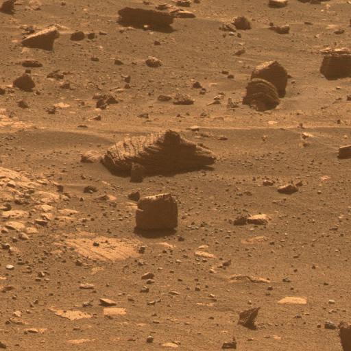
PIA12452:
-
Chocolate Hills Rock
Full Resolution:
TIFF
(3.15 MB)
JPEG
(223.7 kB)
|
|
|
2010-02-17 |
Mars
|
Mars Reconnaissance Orbiter (MRO)
|
HiRISE
|
1676x1519x1 |
|
-
PIA12840:
-
Terrain Model of Mars' Mojave Crater
Full Resolution:
TIFF
(2.549 MB)
JPEG
(380.7 kB)
|
|
|
2010-02-17 |
Mars
|
2001 Mars Odyssey
|
THEMIS
|
1343x2924x1 |
|
-
PIA12841:
-
Candor Chasma
Full Resolution:
TIFF
(3.931 MB)
JPEG
(374.2 kB)
|
|
|
2010-02-18 |
Mars
|
2001 Mars Odyssey
|
THEMIS
|
1340x2767x1 |
|
-
PIA12844:
-
Olympica Fossae
Full Resolution:
TIFF
(3.712 MB)
JPEG
(557.2 kB)
|
|
|
2010-02-19 |
Mars
|
2001 Mars Odyssey
|
THEMIS
|
655x1373x1 |
|
-
PIA12846:
-
Juventae Chasma
Full Resolution:
TIFF
(900.5 kB)
JPEG
(61.33 kB)
|
|
|
2010-02-22 |
Mars
|
2001 Mars Odyssey
|
THEMIS
|
1326x2775x1 |
|
-
PIA12847:
-
Gale Crater
Full Resolution:
TIFF
(3.684 MB)
JPEG
(293.9 kB)
|
|
|
2010-02-23 |
Mars
|
2001 Mars Odyssey
|
THEMIS
|
1314x2777x1 |

|
-
PIA12850:
-
Dunes in Tyrrhena Terra
Full Resolution:
TIFF
(3.653 MB)
JPEG
(347.2 kB)
|
|
|
2010-02-25 |
Mars
|
2001 Mars Odyssey
|
THEMIS
|
1347x2769x1 |
|
-
PIA12851:
-
Pastuer Crater
Full Resolution:
TIFF
(3.734 MB)
JPEG
(287.5 kB)
|
|
|
2010-02-26 |
Mars
|
Mars Reconnaissance Orbiter (MRO)
Phoenix
|
HiRISE
|
1020x442x3 |
|
-
PIA12853:
-
Ice Around Phoenix Lander Continues to Lessen in Spring
Full Resolution:
TIFF
(1.355 MB)
JPEG
(62.86 kB)
|
|
|
2010-03-02 |
Mars
|
Mars Reconnaissance Orbiter (MRO)
|
Shallow Subsurface Radar (SHARAD)
|
1098x818x3 |

|
-
PIA12861:
-
Glacial Ice Deposits in Mid-Latitudes of Mars
Full Resolution:
TIFF
(2.698 MB)
JPEG
(237.4 kB)
|
|
|
2010-03-03 |
Mars
|
Mars Reconnaissance Orbiter (MRO)
|
HiRISE
|
2560x1920x3 |
|
-
PIA12862:
-
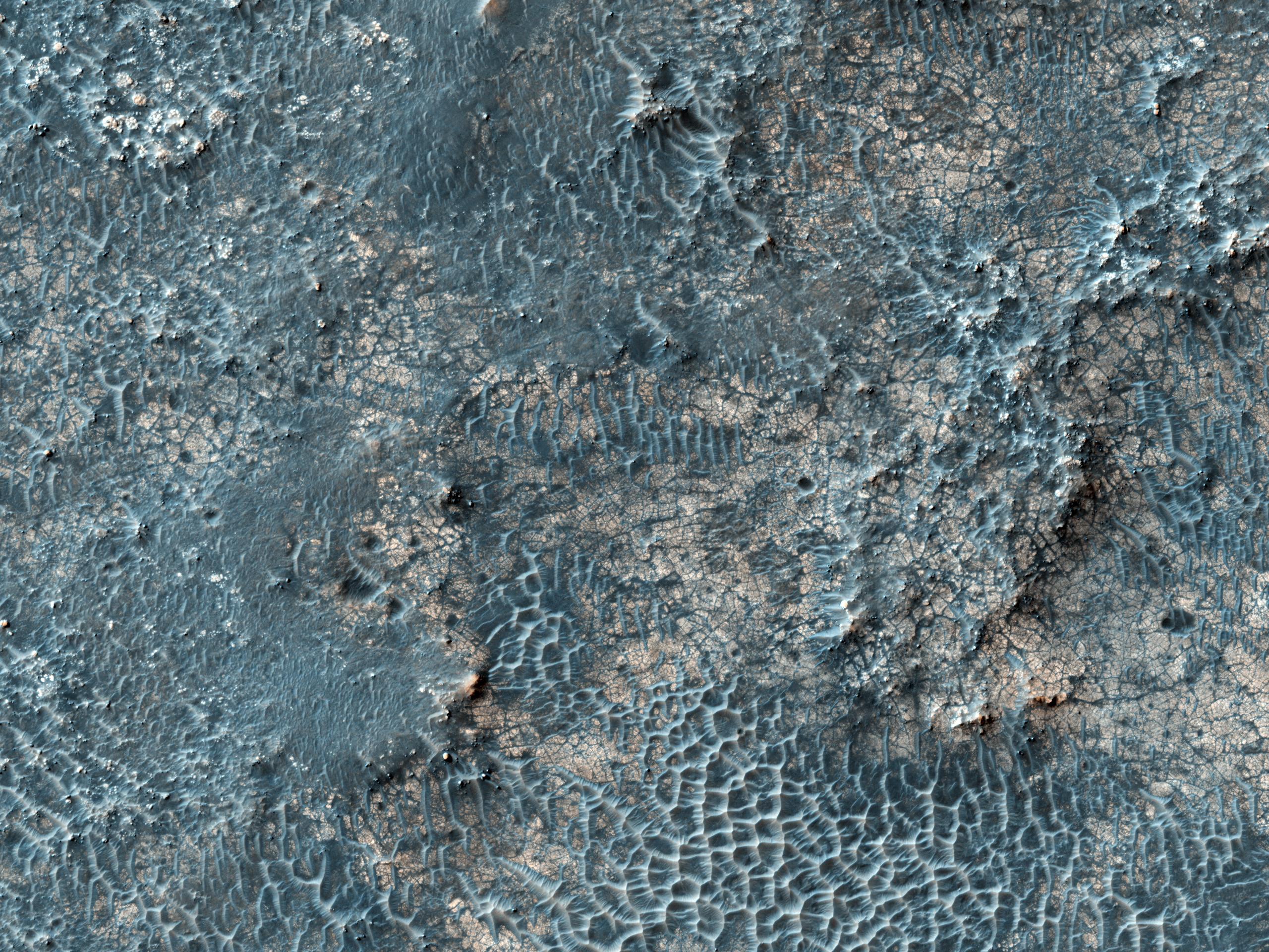
Dunes and Inverted Crater in Arabia Terra
Full Resolution:
TIFF
(14.76 MB)
JPEG
(645.9 kB)
|
|
|
2010-03-03 |
Mars
|
Mars Reconnaissance Orbiter (MRO)
|
HiRISE
|
2560x1920x3 |
|
-
PIA12880:
-
Monitoring of Polar Avalanche Region
Full Resolution:
TIFF
(14.76 MB)
JPEG
(577.5 kB)
|
|
|
2010-03-03 |
Mars
|
Mars Reconnaissance Orbiter (MRO)
|
HiRISE
|
2560x1920x3 |
|
-
PIA12881:
-
Gullies and... Gullies? in Terra Sirenum
Full Resolution:
TIFF
(14.76 MB)
JPEG
(717.4 kB)
|
|
|
2010-03-03 |
Mars
|
Mars Reconnaissance Orbiter (MRO)
|
HiRISE
|
2560x1920x3 |
|
-
PIA12882:
-
Northern Meridiani Etched Terrain and Hematite Plains Contact
Full Resolution:
TIFF
(14.76 MB)
JPEG
(820.3 kB)
|
|
|
2010-03-03 |
Mars
|
Mars Reconnaissance Orbiter (MRO)
|
HiRISE
|
2560x1920x3 |
|
-
PIA12883:
-
Craters on an Ice-Rich D�bris Apron
Full Resolution:
TIFF
(14.76 MB)
JPEG
(892.6 kB)
|
|
|
2010-03-04 |
Mars
|
Mars Reconnaissance Orbiter (MRO)
|
CTX
|
535x645x1 |
|
-
PIA12857:
-
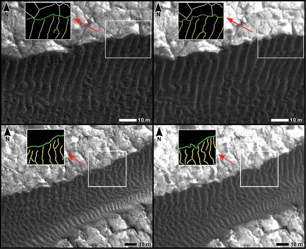
Location Map for Images of Changing Martian Dunes
Full Resolution:
TIFF
(345.6 kB)
JPEG
(82.61 kB)
|
|
|
2010-03-04 |
Mars
|
Mars Reconnaissance Orbiter (MRO)
|
HiRISE
|
630x257x3 |
|
-
PIA12858:
-
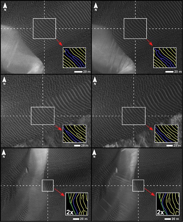
Changes on Dune Slip Face, Nili Patera, Mars
Full Resolution:
TIFF
(486.5 kB)
JPEG
(30.09 kB)
|
|
|
2010-03-04 |
Mars
|
Mars Reconnaissance Orbiter (MRO)
|
HiRISE
|
630x512x3 |
|
-
PIA12859:
-
Changes at Edges of Dark Dunes in Nili Patera, Mars
Full Resolution:
TIFF
(968.9 kB)
JPEG
(78.11 kB)
|
|
|
2010-03-04 |
Mars
|
Mars Reconnaissance Orbiter (MRO)
|
HiRISE
|
630x763x3 |
|
-
PIA12860:
-
Changes in Ripples on Martian Dunes in Nili Patera
Full Resolution:
TIFF
(1.444 MB)
JPEG
(97.85 kB)
|
|
|
2010-03-10 |
Mars
|
Mars Reconnaissance Orbiter (MRO)
|
HiRISE
|
2560x1920x3 |
|
-
PIA12955:
-
Candidate Landing Site in Possible Salt Playa
Full Resolution:
TIFF
(14.76 MB)
JPEG
(1.104 MB)
|
|
|
2010-03-10 |
Mars
|
Mars Reconnaissance Orbiter (MRO)
|
HiRISE
|
2560x1920x3 |
|
-
PIA12956:
-
Cerberus Fossae East of the Head of Athabasca Valles
Full Resolution:
TIFF
(14.76 MB)
JPEG
(670.5 kB)
|
|
|
2010-03-10 |
Mars
|
Mars Reconnaissance Orbiter (MRO)
|
HiRISE
|
2560x1920x3 |
|
-
PIA12957:
-
A Burst of Spring
Full Resolution:
TIFF
(14.76 MB)
JPEG
(859.2 kB)
|
|
|
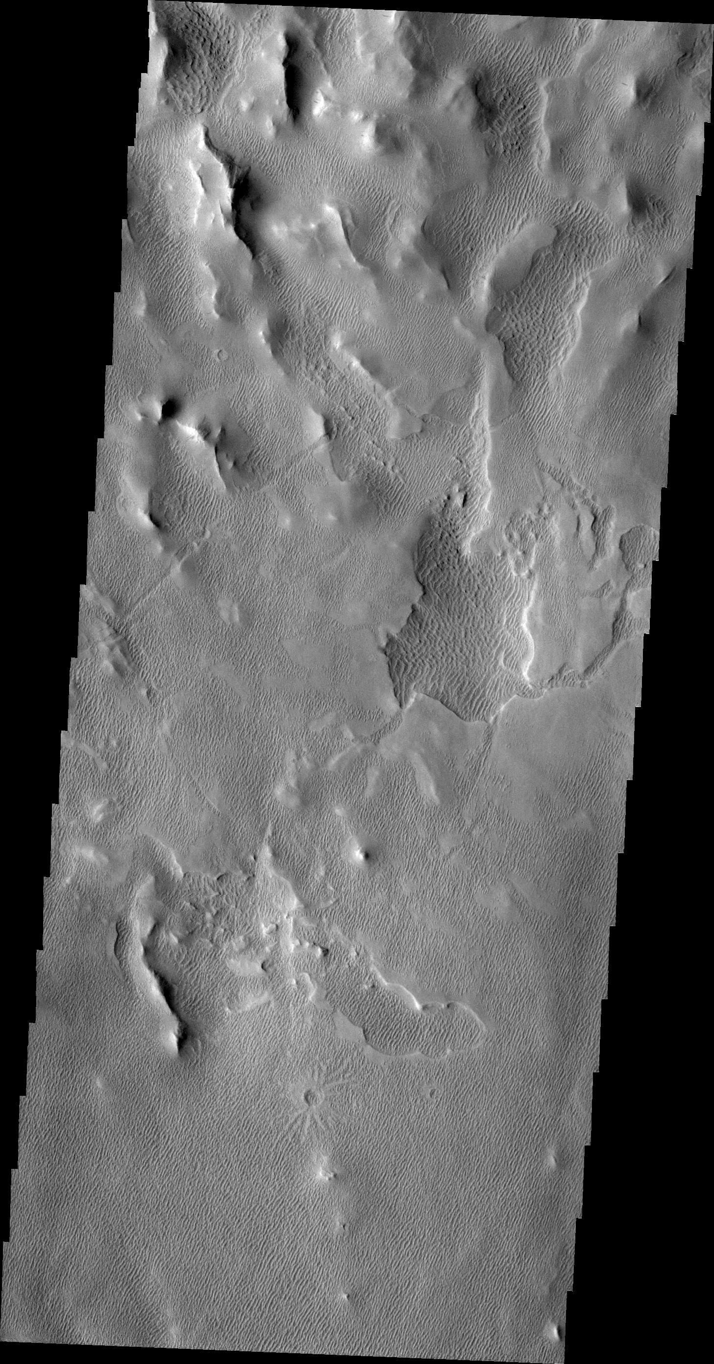
2010-03-15 |
Mars
|
2001 Mars Odyssey
|
THEMIS
|
1313x2779x1 |

|
-
PIA12870:
-
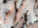
Sand Dunes in Terra Cimmeria
Full Resolution:
TIFF
(3.653 MB)
JPEG
(239.6 kB)
|
|
|
2010-03-17 |
Mars
|
2001 Mars Odyssey
|
THEMIS
|
1321x2779x1 |

|
-
PIA12872:
-
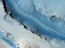
Landslide in Candor Chasma
Full Resolution:
TIFF
(3.675 MB)
JPEG
(309.1 kB)
|
|
|
2010-03-18 |
Mars
|
2001 Mars Odyssey
|
THEMIS
|
1358x2770x1 |
|
-
PIA12873:
-
McLaughlin Crater Dunes
Full Resolution:
TIFF
(3.766 MB)
JPEG
(289.3 kB)
|
|
|
2010-03-19 |
Mars
|
2001 Mars Odyssey
|
THEMIS
|
1320x2781x1 |

|
-
PIA12874:
-
Candor Chasma
Full Resolution:
TIFF
(3.675 MB)
JPEG
(228.1 kB)
|
|
|
2010-03-22 |
Mars
|
2001 Mars Odyssey
|
THEMIS
|
1341x2771x1 |
|
-
PIA12875:
-
Cerberus Fossae
Full Resolution:
TIFF
(3.72 MB)
JPEG
(321.4 kB)
|
|
|
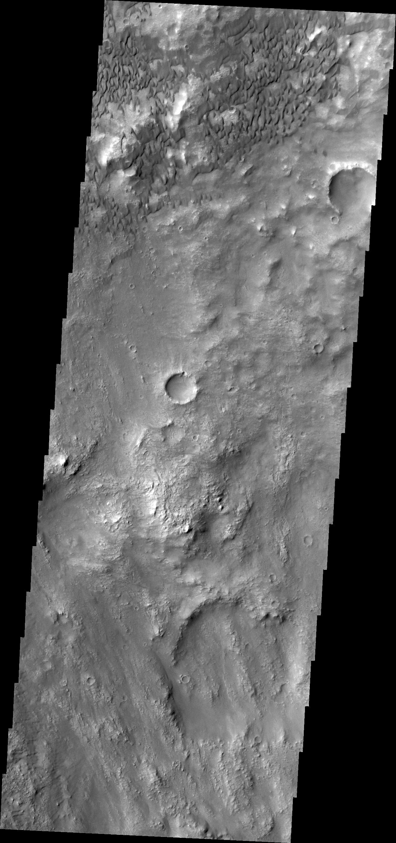
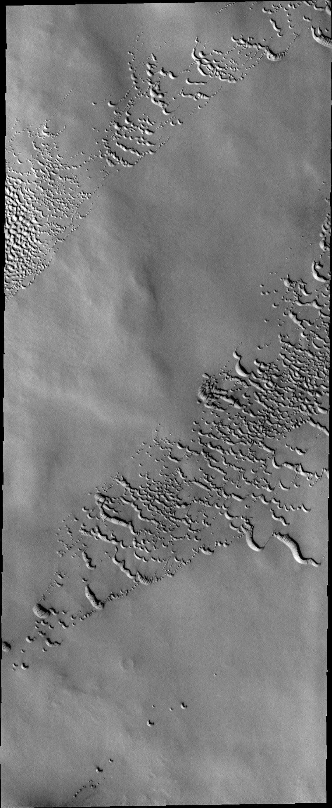
2010-03-22 |
Mars
|
Mars Reconnaissance Orbiter (MRO)
|
HiRISE
|
2560x1920x3 |
|
-
PIA12876:
-
Record-Breaking Dust Devil Caught in the Act
Full Resolution:
TIFF
(14.76 MB)
JPEG
(1.34 MB)
|
|
|
2010-03-23 |
Mars
|
Mars Exploration Rover (MER)
|
Navigation Camera
|
1024x1024x3 |
|
-
PIA12973:
-
Image Analyzed by Mars Rover for Selection of Target
Full Resolution:
TIFF
(1.051 MB)
JPEG
(166.4 kB)
|
|
|
2010-03-23 |
Mars
|
Mars Exploration Rover (MER)
|
Panoramic Camera
|
512x512x3 |
|
-
PIA12974:
-
First Image from a Mars Rover Choosing a Target, False Color
Full Resolution:
TIFF
(787.5 kB)
JPEG
(66.88 kB)
|
|
|
2010-03-23 |
Mars
|
Mars Exploration Rover (MER)
|
Panoramic Camera
|
512x512x3 |
|
-
PIA12975:
-
First Image from a Mars Rover Choosing a Target
Full Resolution:
TIFF
(787.5 kB)
JPEG
(51.06 kB)
|
|
|
2010-03-23 |
Mars
|
2001 Mars Odyssey
|
THEMIS
|
1305x2780x1 |

|
-
PIA12877:
-
Herschel Crater Dunes
Full Resolution:
TIFF
(3.632 MB)
JPEG
(398.8 kB)
|
|
|
2010-03-24 |
Mars
|
2001 Mars Odyssey
|
THEMIS
|
1136x2768x1 |
|
-
PIA12879:
-
North Polar Dunes
Full Resolution:
TIFF
(3.148 MB)
JPEG
(379 kB)
|
|
|
2010-03-24 |
Mars
|
Mars Reconnaissance Orbiter (MRO)
|
HiRISE
|
502x478x1 |
|
-
PIA12969:
-
Opportunity at 'Concepci�n' Crater, Seen from Orbit
Full Resolution:
TIFF
(240.4 kB)
JPEG
(36.8 kB)
|
|
|
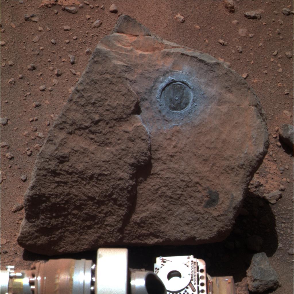
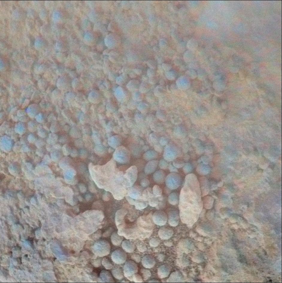
2010-03-24 |
Mars
|
Mars Exploration Rover (MER)
|
Microscopic Imager
|
942x947x3 |
|
-
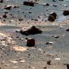
PIA12970:
-
Coating on Rock Beside a Young Martian Crater
Full Resolution:
TIFF
(2.68 MB)
JPEG
(116.2 kB)
|
|
|
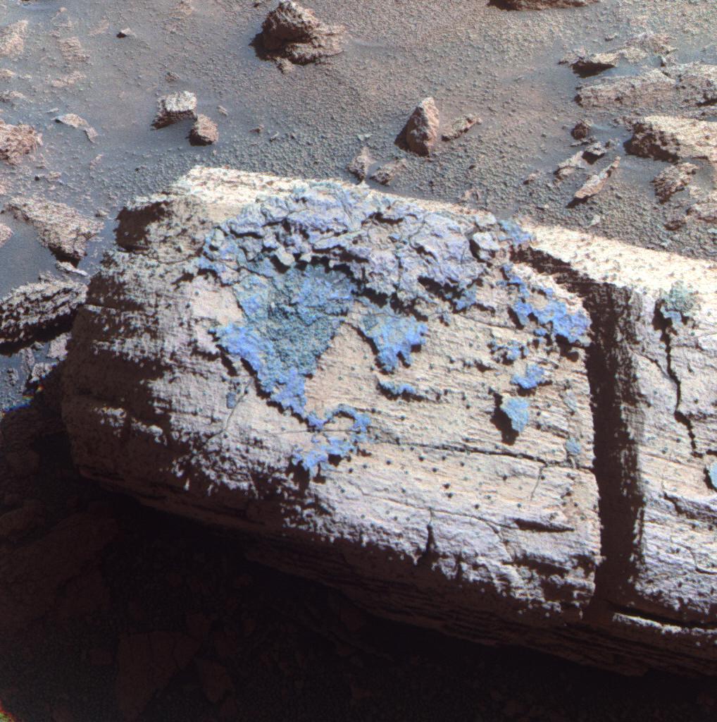
2010-03-24 |
Mars
|
Mars Exploration Rover (MER)
|
Panoramic Camera
|
1018x1024x3 |
|
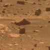
-
PIA12971:
-
Rock with Odd Coating Beside a Young Martian Crater, False Color
Full Resolution:
TIFF
(3.132 MB)
JPEG
(192.1 kB)
|
|
|
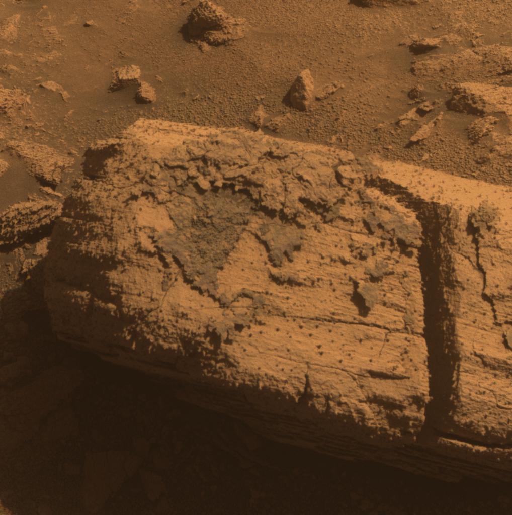
2010-03-24 |
Mars
|
Mars Exploration Rover (MER)
|
Panoramic Camera
|
1018x1024x3 |
|
-
PIA12972:
-
Rock with Odd Coating Beside a Young Martian Crater
Full Resolution:
TIFF
(3.132 MB)
JPEG
(132.7 kB)
|
|
|
2010-03-24 |
Mars
|
Mars Exploration Rover (MER)
|
Panoramic Camera
|
1330x1203x3 |
|
-
PIA12980:
-
Rim of Bopolu Crater Far to the Southwest of Opportunity
Full Resolution:
TIFF
(4.805 MB)
JPEG
(93.74 kB)
|
|
|
2010-03-25 |
Mars
|
2001 Mars Odyssey
|
THEMIS
|
1334x2770x1 |

|
-
PIA12981:
-
Dark Slope Streak
Full Resolution:
TIFF
(3.699 MB)
JPEG
(284.9 kB)
|
|
|
2010-03-26 |
Mars
|
2001 Mars Odyssey
|
THEMIS
|
1323x2777x1 |

|
-
PIA12983:
-
Ganges Chasma
Full Resolution:
TIFF
(3.678 MB)
JPEG
(262.8 kB)
|
|
|
2010-03-29 |
Mars
|
2001 Mars Odyssey
|
THEMIS
|
1326x2767x1 |
|
-
PIA12986:
-
Ceranus Tholus
Full Resolution:
TIFF
(3.673 MB)
JPEG
(293 kB)
|
|
|
2010-03-30 |
Mars
|
2001 Mars Odyssey
|
THEMIS
|
1310x2780x1 |
|
-
PIA13000:
-
Coprates Catena
Full Resolution:
TIFF
(3.646 MB)
JPEG
(235.8 kB)
|
|
|
2010-03-31 |
Mars
|
Mars Reconnaissance Orbiter (MRO)
|
HiRISE
|
800x600x3 |

|
-
PIA12990:
-
Boulder Strewn Plain in Northern Utopia Planitia
Full Resolution:
TIFF
(1.442 MB)
JPEG
(173.6 kB)
|
|
|
2010-03-31 |
Mars
|
Mars Reconnaissance Orbiter (MRO)
|
HiRISE
|
800x600x3 |
|
-
PIA12991:
-
Mesas in Aureum Chaos
Full Resolution:
TIFF
(1.442 MB)
JPEG
(82.46 kB)
|
|
|
2010-03-31 |
Mars
|
Mars Reconnaissance Orbiter (MRO)
|
HiRISE
|
800x600x3 |
|
-
PIA12992:
-
Collapsing Volcano; Edge of Olympus Mons
Full Resolution:
TIFF
(1.442 MB)
JPEG
(85.87 kB)
|
|
|
2010-03-31 |
Mars
|
Mars Reconnaissance Orbiter (MRO)
|
HiRISE
|
800x600x3 |
|
-
PIA12993:
-
Dunes on Floor of Samara Valles, Mars
Full Resolution:
TIFF
(1.442 MB)
JPEG
(88.38 kB)
|
|
|
2010-03-31 |
Mars
|
Mars Reconnaissance Orbiter (MRO)
|
HiRISE
|
800x600x3 |
|
-
PIA12994:
-
Deposits on the Floor of Palos Crater
Full Resolution:
TIFF
(1.442 MB)
JPEG
(121.2 kB)
|
|
|
2010-03-31 |
Mars
|
Mars Reconnaissance Orbiter (MRO)
|
HiRISE
|
800x600x3 |
|
-
PIA12995:
-
Dust-Mantled Topography near Zephyria Tholus
Full Resolution:
TIFF
(1.442 MB)
JPEG
(50.73 kB)
|
|
|
2010-03-31 |
Mars
|
Mars Reconnaissance Orbiter (MRO)
|
HiRISE
|
800x600x3 |
|
-
PIA12996:
-
Lobate Debris Apron in Deuteronilus Mensae
Full Resolution:
TIFF
(1.442 MB)
JPEG
(115.4 kB)
|
|
|
2010-03-31 |
Mars
|
Mars Reconnaissance Orbiter (MRO)
|
HiRISE
|
800x600x3 |
|
-
PIA12997:
-
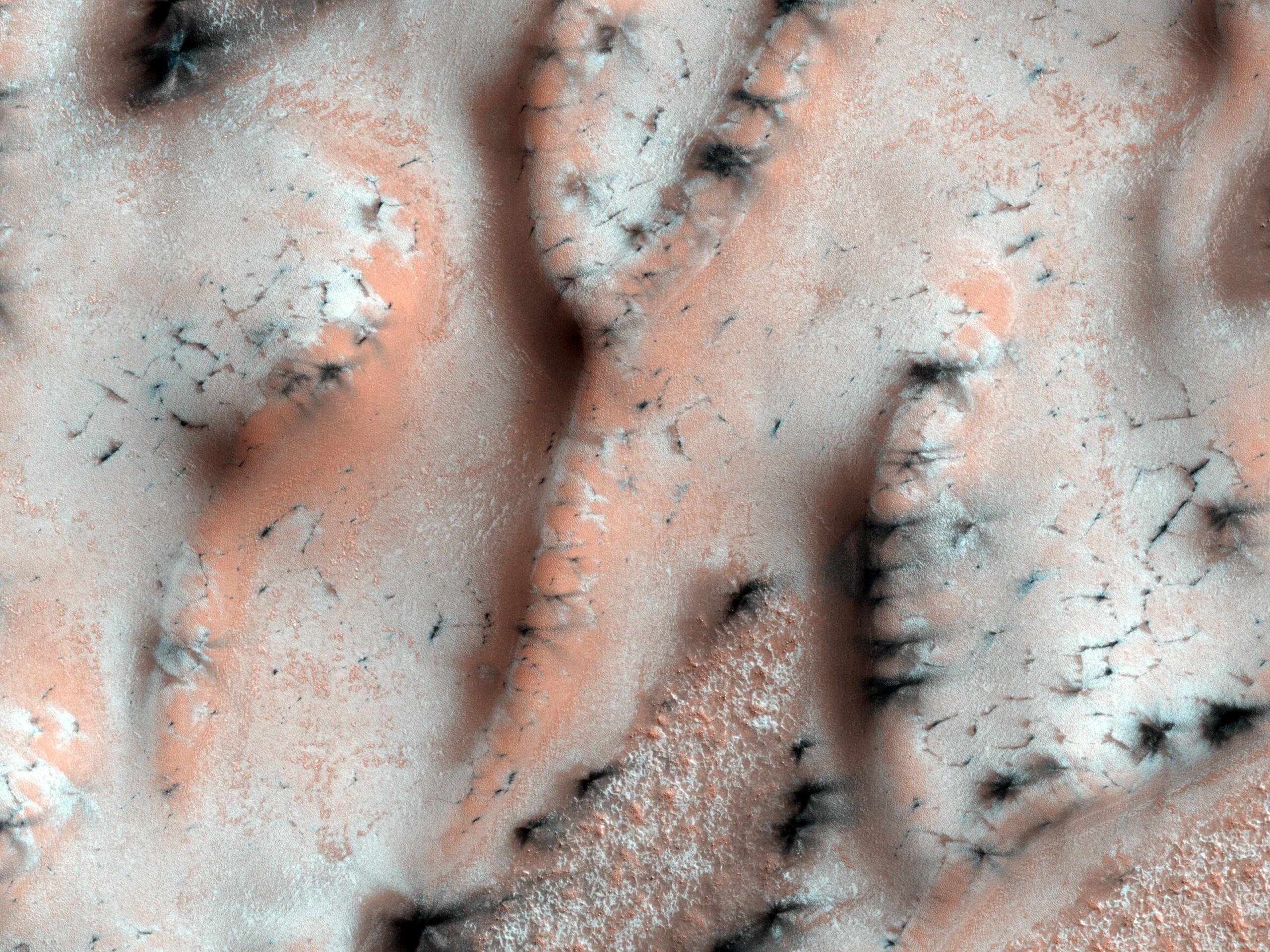
Icy Layers and Climate Fluctuations near the Martian North Pole
Full Resolution:
TIFF
(1.442 MB)
JPEG
(110.2 kB)
|
|
|
2010-03-31 |
Mars
|
2001 Mars Odyssey
|
THEMIS
|
1311x2775x1 |

|
-
PIA13003:
-
Tithonium Chasma
Full Resolution:
TIFF
(3.642 MB)
JPEG
(250.2 kB)
|
|
|
2010-04-01 |
Mars
|
2001 Mars Odyssey
|
|
1328x2775x1 |
|
-
PIA13004:
-
Aurorae Chaos
Full Resolution:
TIFF
(3.689 MB)
JPEG
(228.8 kB)
|
|
|
2010-04-02 |
Mars
|
2001 Mars Odyssey
|
THEMIS
|
1350x2771x1 |
|
-
PIA13007:
-
Bahram Vallis
Full Resolution:
TIFF
(3.745 MB)
JPEG
(294.9 kB)
|
|
|
2010-04-05 |
Mars
|
2001 Mars Odyssey
|
THEMIS
|
659x1467x1 |

|
-
PIA13009:
-
Arsia Mons Flows
Full Resolution:
TIFF
(968 kB)
JPEG
(156.6 kB)
|
|
|
2010-04-06 |
Mars
|
2001 Mars Odyssey
|
THEMIS
|
1316x2954x1 |

|
-
PIA13020:
-
Arkhanglesky Crater Dunes
Full Resolution:
TIFF
(3.892 MB)
JPEG
(307.1 kB)
|
|
|
2010-04-07 |
Mars
|
2001 Mars Odyssey
|
THEMIS
|
1328x2775x1 |
|
-
PIA13022:
-
Wind Effects
Full Resolution:
TIFF
(3.689 MB)
JPEG
(574.8 kB)
|
|
|
2010-04-08 |
Mars
|
2001 Mars Odyssey
|
THEMIS
|
1328x2775x1 |

|
-
PIA13024:
-
Sabis Vallis
Full Resolution:
TIFF
(3.689 MB)
JPEG
(282.1 kB)
|
|
|
2010-04-09 |
Mars
|
2001 Mars Odyssey
|
THEMIS
|
1318x2779x1 |
|
-
PIA13025:
-
Eastern Coprates Chasma
Full Resolution:
TIFF
(3.667 MB)
JPEG
(191.1 kB)
|
|
|
2010-04-12 |
Mars
|
2001 Mars Odyssey
|
THEMIS
|
1321x2777x1 |

|
-
PIA13029:
-
Candor Chasma
Full Resolution:
TIFF
(3.672 MB)
JPEG
(204.6 kB)
|
|
|
2010-04-13 |
Mars
|
2001 Mars Odyssey
|
THEMIS
|
680x1383x1 |
|
-
PIA13035:
-
Hecates Tholus
Full Resolution:
TIFF
(941.6 kB)
JPEG
(140 kB)
|
|
|
2010-04-14 |
Mars
|
2001 Mars Odyssey
|
THEMIS
|
672x1385x1 |

|
-
PIA13036:
-
Terra Sabaea
Full Resolution:
TIFF
(931.9 kB)
JPEG
(95.69 kB)
|
|
|
2010-04-16 |
Mars
|
2001 Mars Odyssey
|
THEMIS
|
1343x2768x1 |
|
-
PIA13040:
-
Arabia Terra
Full Resolution:
TIFF
(3.721 MB)
JPEG
(333.4 kB)
|
|
|
2010-04-16 |
Mars
|
2001 Mars Odyssey
|
THEMIS
|
1330x2779x1 |
|
-
PIA13042:
-
Coprates Chasma
Full Resolution:
TIFF
(3.7 MB)
JPEG
(269.2 kB)
|
|
|
2010-04-19 |
Mars
|
2001 Mars Odyssey
|
THEMIS
|
1320x2779x1 |

|
-
PIA13055:
-
Melas Chasma
Full Resolution:
TIFF
(3.672 MB)
JPEG
(302.3 kB)
|
|
|
2010-04-20 |
Mars
|
2001 Mars Odyssey
|
THEMIS
|
1325x2775x1 |

|
-
PIA13056:
-
Memnonia Sulci
Full Resolution:
TIFF
(3.681 MB)
JPEG
(502.8 kB)
|
|
|
2010-04-21 |
Mars
|
2001 Mars Odyssey
|
THEMIS
|
1315x2773x1 |
|
-
PIA13057:
-
Terra Cimmeria Dunes
Full Resolution:
TIFF
(3.65 MB)
JPEG
(262.2 kB)
|
|
|
2010-04-22 |
Mars
|
2001 Mars Odyssey
|
THEMIS
|
1365x2768x1 |

|
-
PIA13061:
-
Kasei Valles
Full Resolution:
TIFF
(3.782 MB)
JPEG
(262.5 kB)
|
|
|
2010-04-23 |
Mars
|
2001 Mars Odyssey
|
THEMIS
|
1326x2778x1 |

|
-
PIA13063:
-
Melas Chasma
Full Resolution:
TIFF
(3.688 MB)
JPEG
(393.7 kB)
|
|
|
2010-04-26 |
Mars
|
2001 Mars Odyssey
|
THEMIS
|
683x1384x1 |
|
-
PIA13067:
-
Auqakuh Vallis
Full Resolution:
TIFF
(946.5 kB)
JPEG
(82.49 kB)
|
|
|
2010-04-27 |
Mars
|
2001 Mars Odyssey
|
THEMIS
|
661x1464x1 |
|
-
PIA13069:
-
Daedalia Planum
Full Resolution:
TIFF
(968.9 kB)
JPEG
(174 kB)
|
|
|
2010-04-28 |
Mars
|
2001 Mars Odyssey
|
THEMIS
|
1328x2765x1 |
|
-
PIA13070:
-
Ascraeus Mons
Full Resolution:
TIFF
(3.676 MB)
JPEG
(485 kB)
|


