Click on an image for detailed information
Click on a column heading to sort in ascending or descending order

My
List |
Addition Date
|
Target
|
Mission
|
Instrument
|
Size
|

|
2012-05-18 |
Mars
|
2001 Mars Odyssey
|
THEMIS
|
1380x2777x1 |
|
-
PIA15706:
-
Channels
Full Resolution:
TIFF
(3.837 MB)
JPEG
(394.9 kB)
|
|
|
2012-05-21 |
Mars
|
2001 Mars Odyssey
|
THEMIS
|
1153x2944x1 |
|
-
PIA15707:
-
Crater Dune
Full Resolution:
TIFF
(3.398 MB)
JPEG
(242.7 kB)
|
|
|
2012-05-22 |
Mars
|
2001 Mars Odyssey
|
THEMIS
|
1361x2775x1 |
|
-
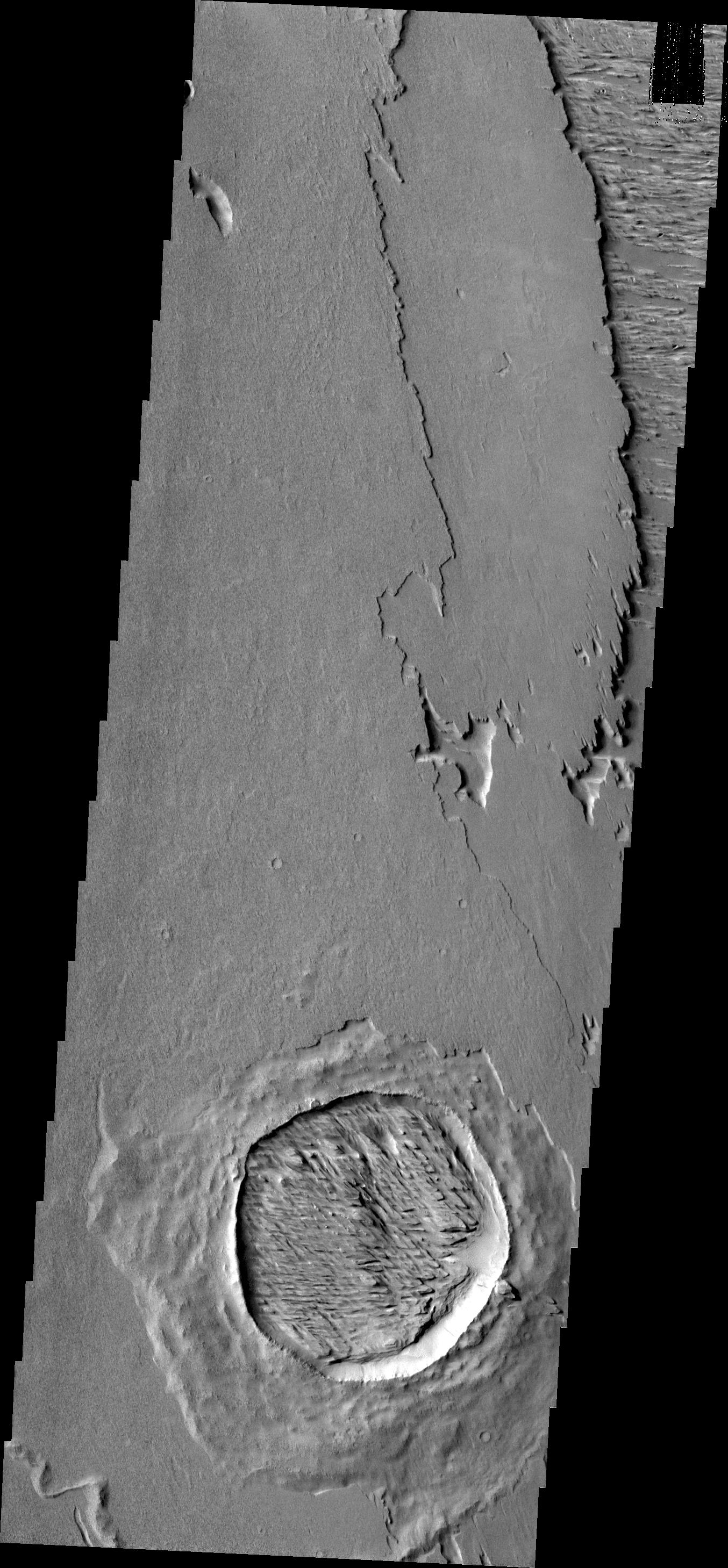
PIA15708:
-
Tempe Fossae
Full Resolution:
TIFF
(3.781 MB)
JPEG
(322.7 kB)
|
|
|
2012-05-22 |
Mars
|
Mars Exploration Rover (MER)
|
Panoramic Camera
|
3090x3809x3 |
|
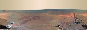
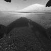
-
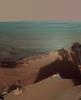
PIA15684:
-
Late Afternoon Shadows at Endeavour Crater on Mars
Full Resolution:
TIFF
(35.31 MB)
JPEG
(621.8 kB)
|
|
|
2012-05-23 |
Mars
|
2001 Mars Odyssey
|
THEMIS
|
1347x2922x1 |
|
-
PIA15709:
-
Iani Chaos
Full Resolution:
TIFF
(3.94 MB)
JPEG
(274 kB)
|
|
|
2012-05-24 |
Mars
|
2001 Mars Odyssey
|
THEMIS
|
1353x2913x1 |

|
-
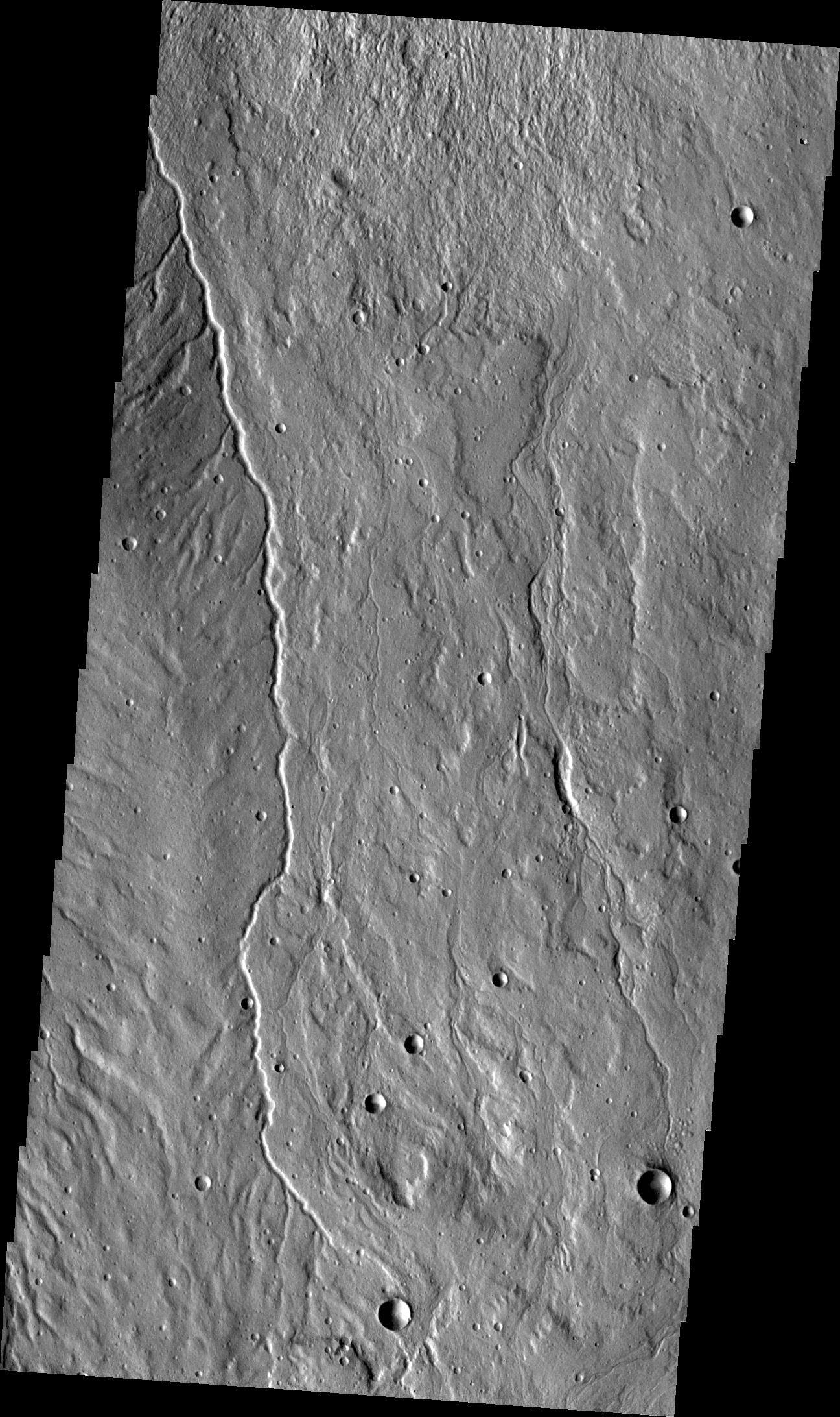
PIA15710:
-
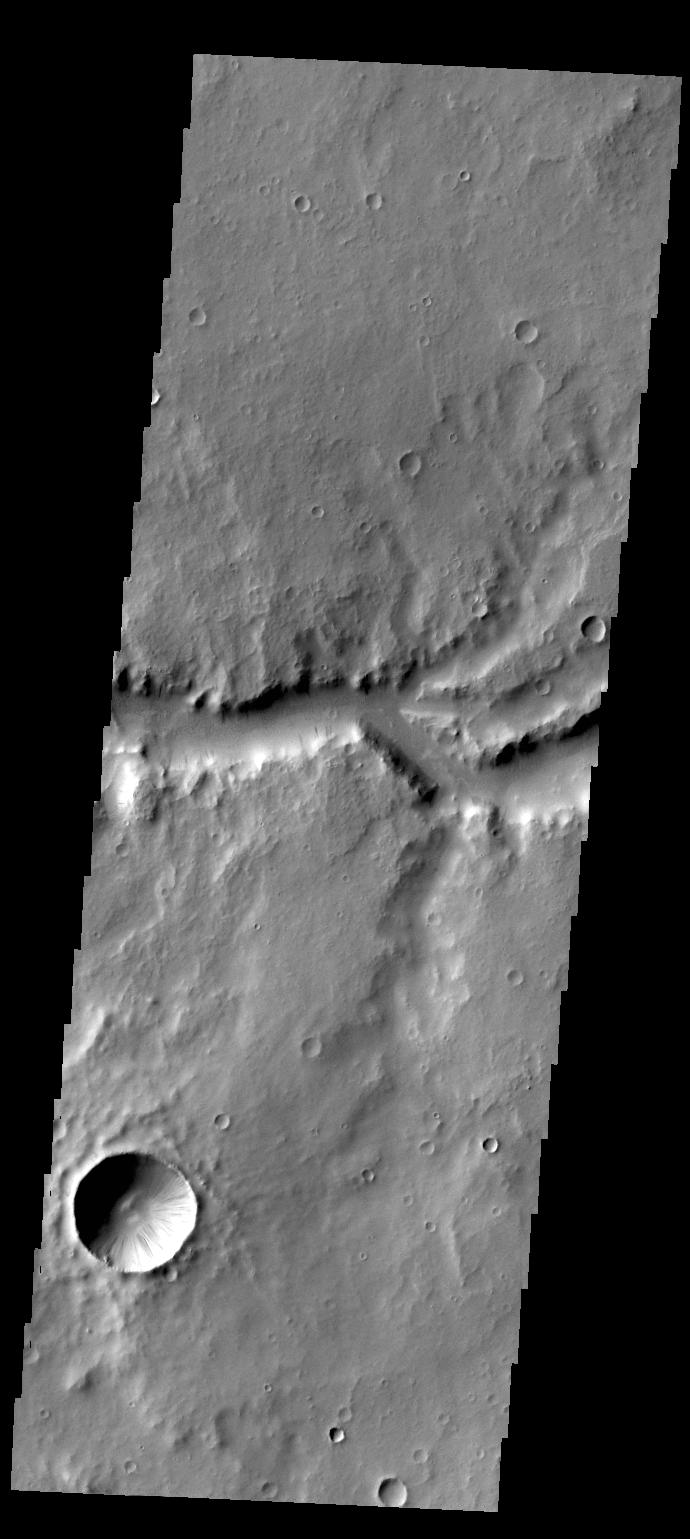
Channel
Full Resolution:
TIFF
(3.945 MB)
JPEG
(441.2 kB)
|
|
|
2012-05-25 |
Mars
|
2001 Mars Odyssey
|
THEMIS
|
1340x2930x1 |

|
-
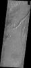
PIA15711:
-
Ganges Chasma
Full Resolution:
TIFF
(3.93 MB)
JPEG
(255.3 kB)
|
|
|
2012-05-28 |
Mars
|
2001 Mars Odyssey
|
THEMIS
|
1351x2925x1 |
|
-
PIA15712:
-
Channel
Full Resolution:
TIFF
(3.956 MB)
JPEG
(508 kB)
|
|
|
2012-05-29 |
Mars
|
2001 Mars Odyssey
|
THEMIS
|
1324x2924x1 |
|
-
PIA15713:
-
Tharsis Flows
Full Resolution:
TIFF
(3.876 MB)
JPEG
(435.3 kB)
|
|
|
2012-05-30 |
Mars
|
2001 Mars Odyssey
|
THEMIS
|
1333x2770x1 |
|
-
PIA15714:
-
Gigas Sulci
Full Resolution:
TIFF
(3.696 MB)
JPEG
(410.1 kB)
|
|
|
2012-05-31 |
Mars
|
2001 Mars Odyssey
|
THEMIS
|
1324x2926x1 |
|
-
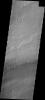
PIA15715:
-
Windstreak
Full Resolution:
TIFF
(3.878 MB)
JPEG
(626.6 kB)
|
|
|
2012-06-01 |
Mars
|
2001 Mars Odyssey
|
THEMIS
|
1253x2178x1 |
|
-
PIA15716:
-
Unusual Texture
Full Resolution:
TIFF
(2.732 MB)
JPEG
(368.4 kB)
|
|
|
2012-06-04 |
Mars
|
2001 Mars Odyssey
|
THEMIS
|
1357x2902x1 |
|
-
PIA15717:
-
Tectonics
Full Resolution:
TIFF
(3.942 MB)
JPEG
(448.5 kB)
|
|
|
2012-06-05 |
Mars
|
2001 Mars Odyssey
|
THEMIS
|
1379x2923x1 |
|
-
PIA15718:
-
Crater Ejecta
Full Resolution:
TIFF
(4.036 MB)
JPEG
(408.6 kB)
|
|
|
2012-06-06 |
Mars
|
2001 Mars Odyssey
|
THEMIS
|
1347x2766x1 |

|
-
PIA15719:
-
Channel
Full Resolution:
TIFF
(3.73 MB)
JPEG
(363 kB)
|
|
|
2012-06-07 |
Mars
|
2001 Mars Odyssey
|
THEMIS
|
1339x2769x1 |
|
-
PIA15720:
-
Lycus Sulci
Full Resolution:
TIFF
(3.712 MB)
JPEG
(345.7 kB)
|
|
|
2012-06-08 |
Mars
|
2001 Mars Odyssey
|
THEMIS
|
1366x2782x1 |
|
-
PIA15721:
-
Crater
Full Resolution:
TIFF
(3.805 MB)
JPEG
(510.4 kB)
|
|
|
2012-06-11 |
Mars
|
2001 Mars Odyssey
|
THEMIS
|
1330x2768x1 |
|
-
PIA15722:
-
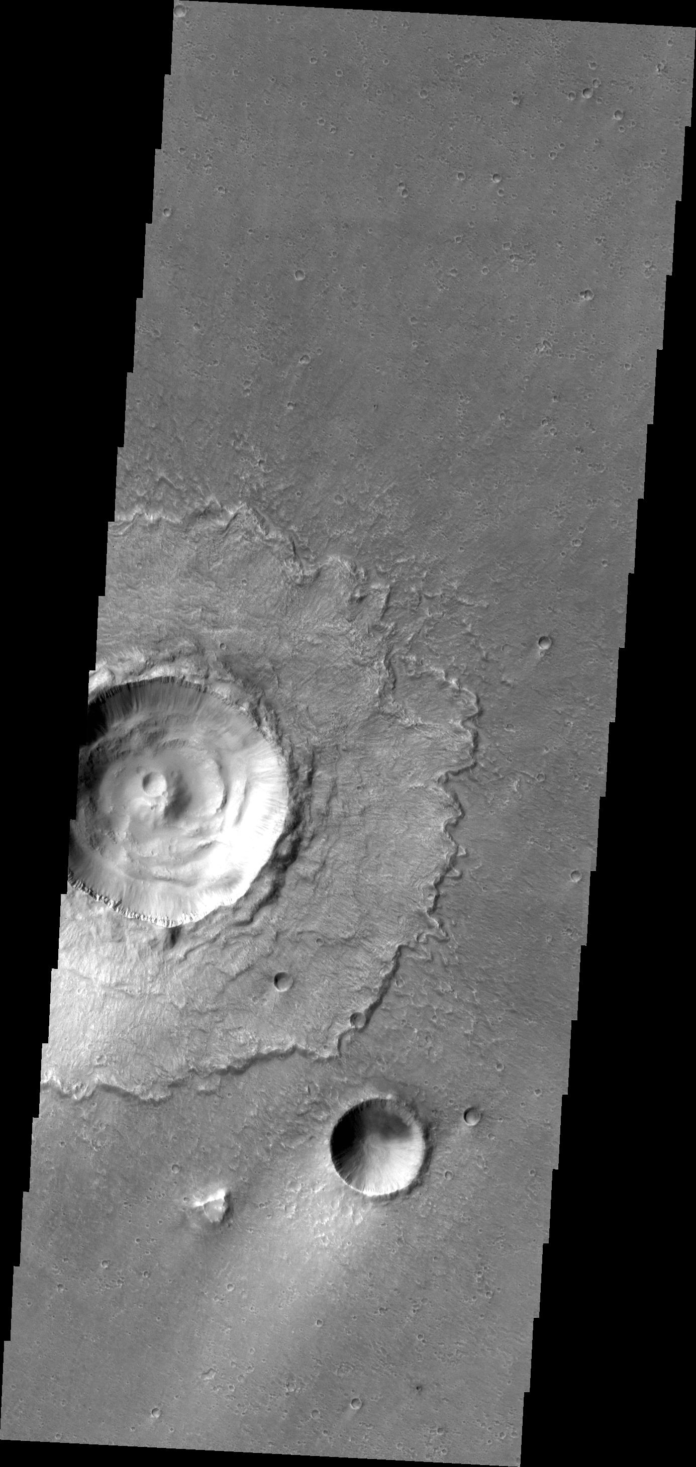
Olympus Mons
Full Resolution:
TIFF
(3.685 MB)
JPEG
(559.6 kB)
|
|
|
2012-06-11 |
Mars
|
Mars Science Laboratory (MSL)
|
|
2560x1600x3 |
|
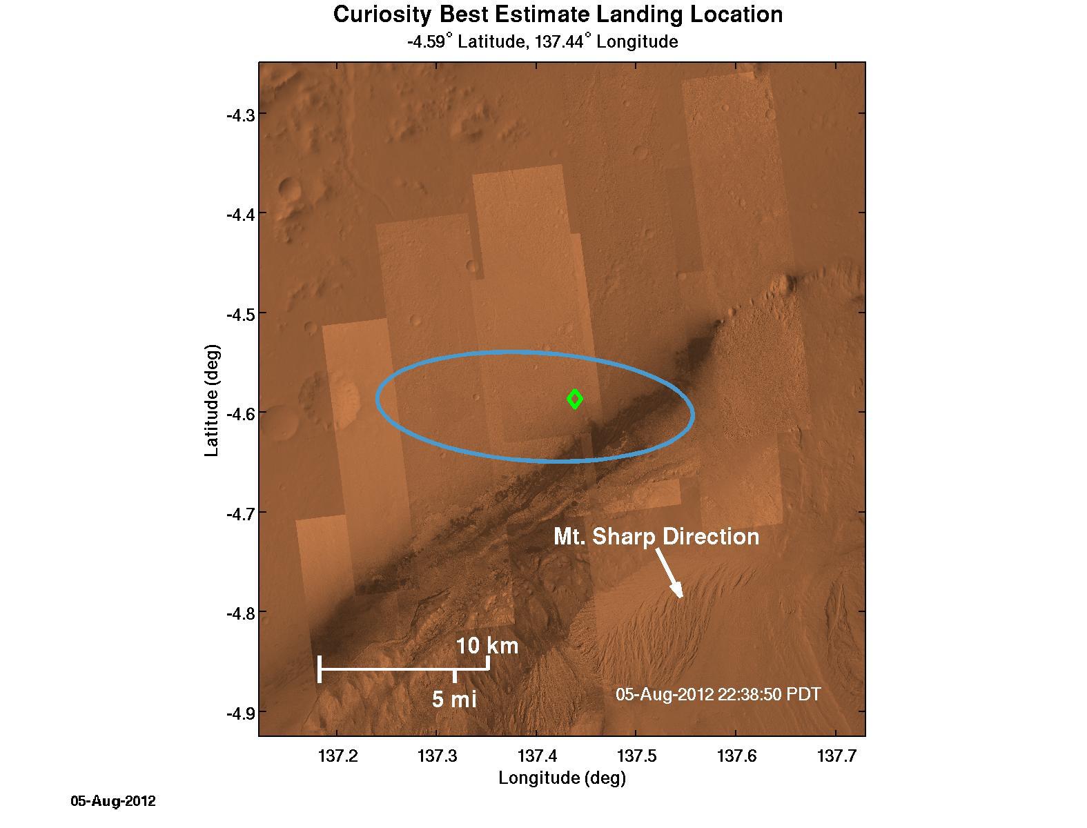
-
PIA15685:
-
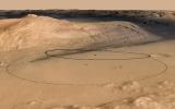
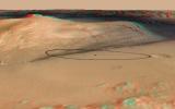
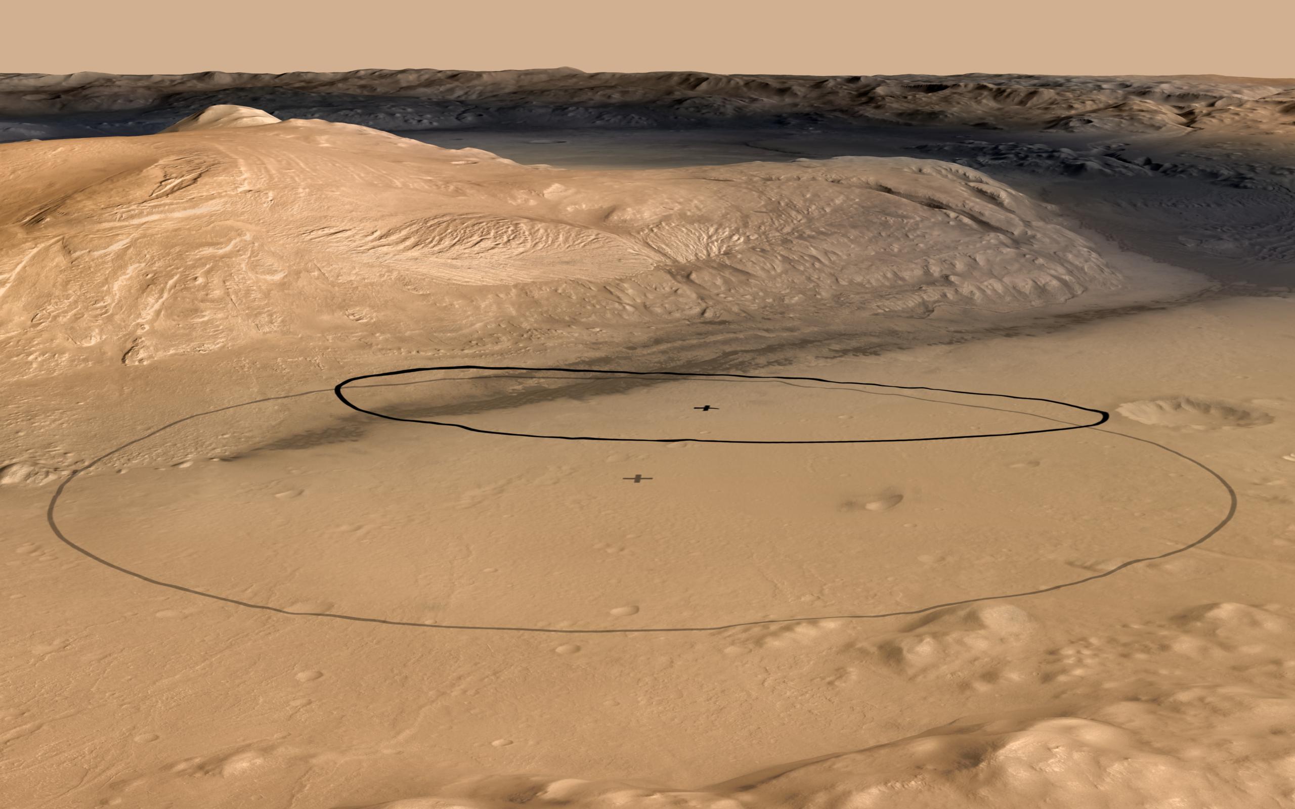
Revised Landing Target for Mars Rover Curiosity
Full Resolution:
TIFF
(12.3 MB)
JPEG
(356.8 kB)
|
|
|
2012-06-11 |
Mars
|
Mars Science Laboratory (MSL)
|
|
2560x1600x3 |
|
-
PIA15686:
-
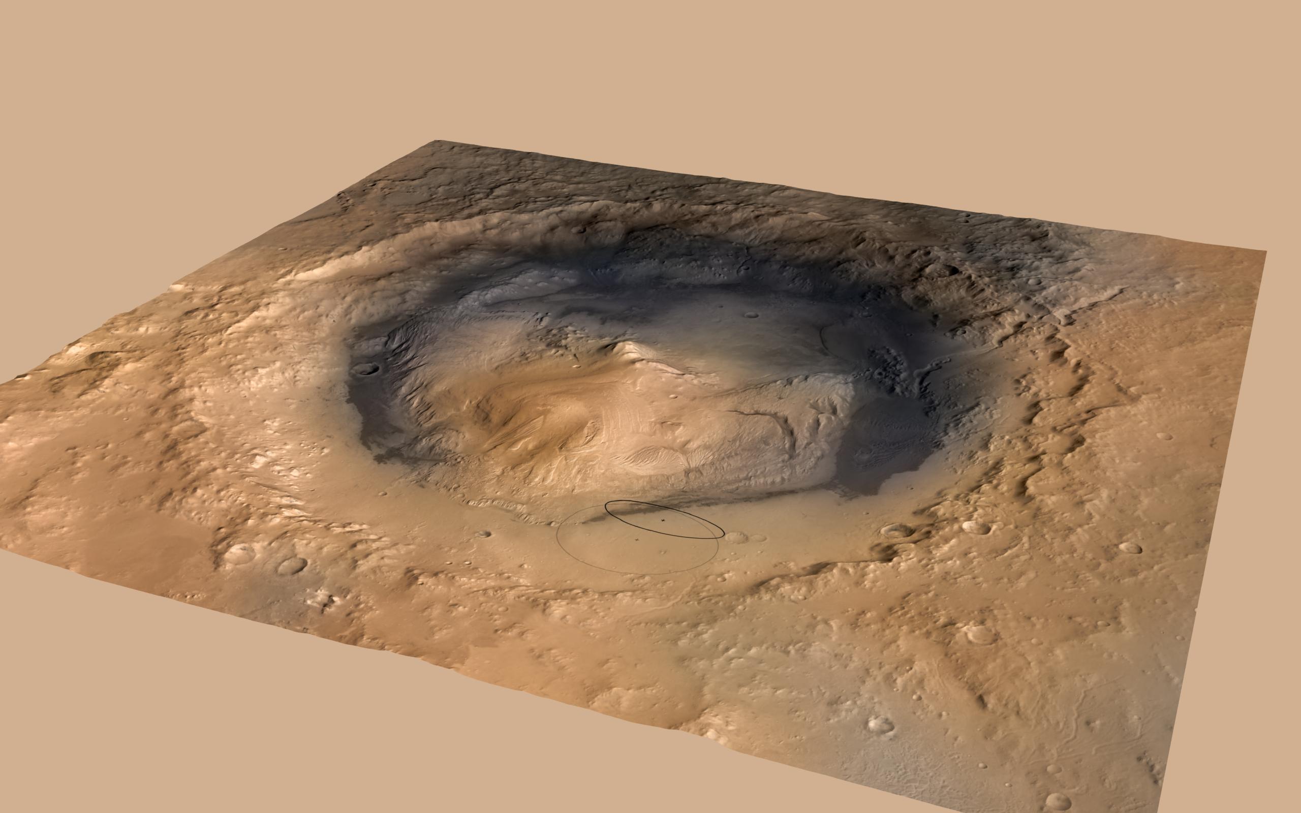
Altered Landing Target in Gale Crater, Mars
Full Resolution:
TIFF
(12.3 MB)
JPEG
(274.4 kB)
|
|
|
2012-06-11 |
Mars
|
Mars Science Laboratory (MSL)
|
|
1564x1528x3 |
|
-
PIA15687:
-
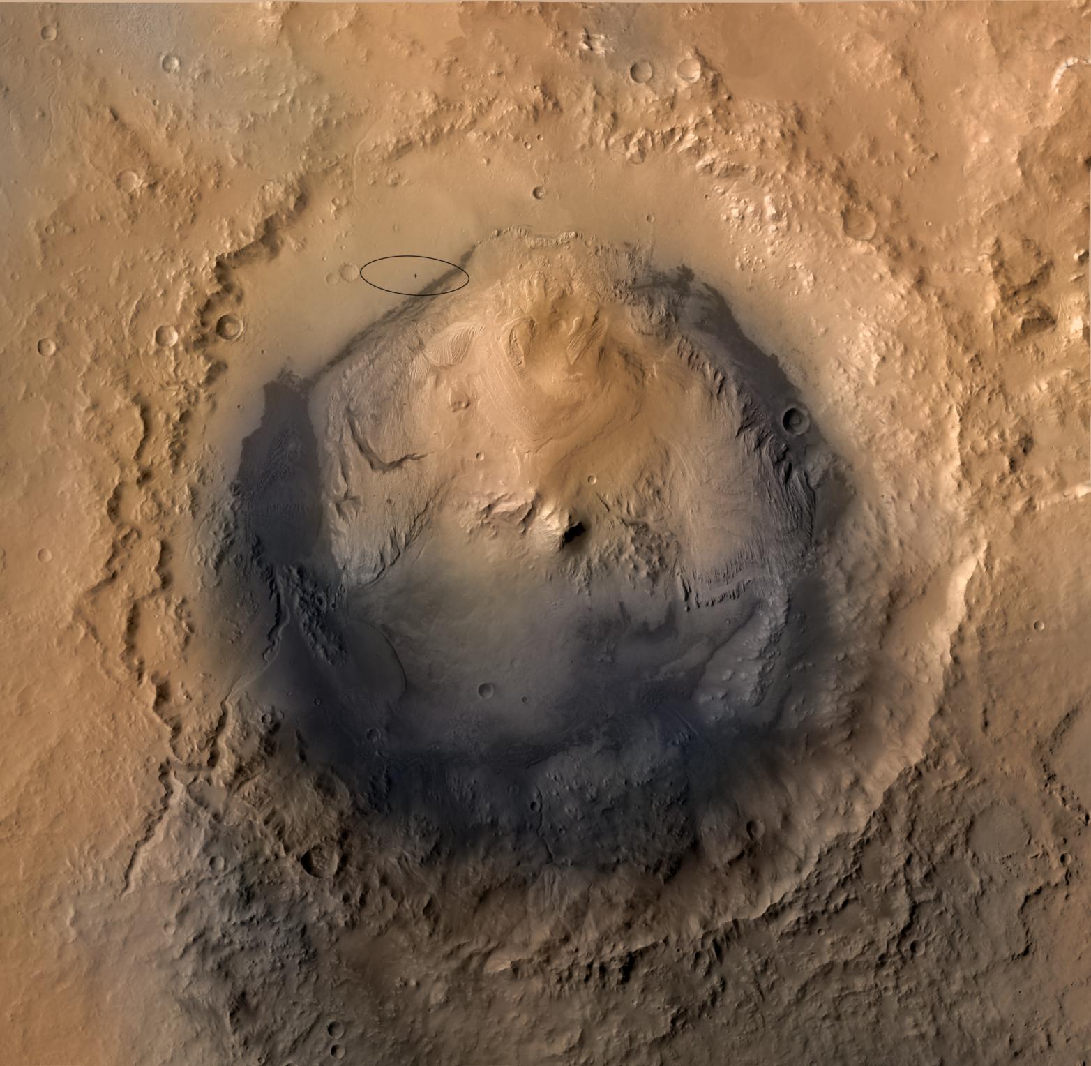
Destination Gale Crater in August 2012
Full Resolution:
TIFF
(7.182 MB)
JPEG
(264.8 kB)
|
|
|
2012-06-11 |
Mars
|
Mars Science Laboratory (MSL)
|
|
2560x1600x3 |
|
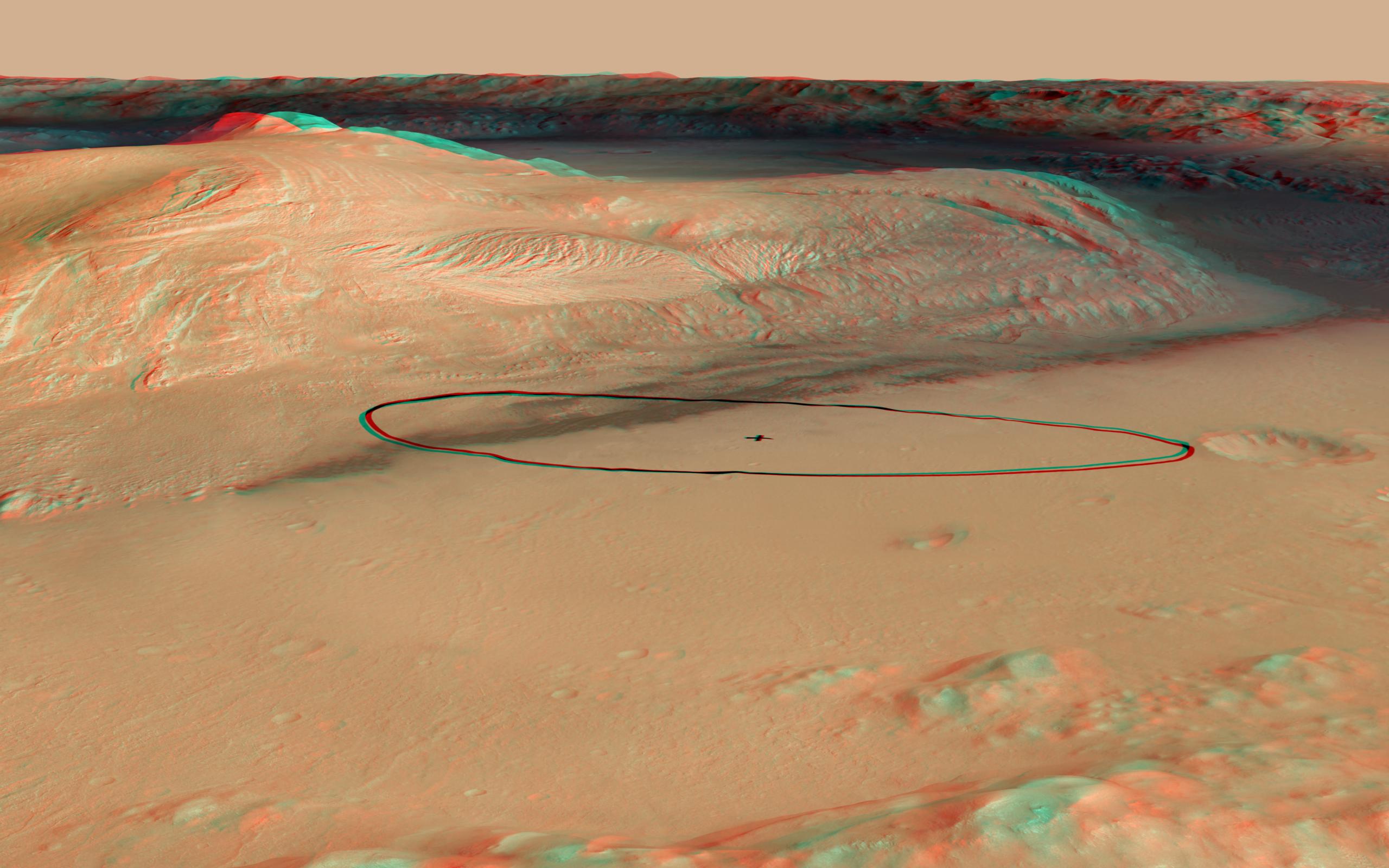
-
PIA15688:
-
Landing Target for Mars Rover Curiosity, in Stereo
Full Resolution:
TIFF
(12.3 MB)
JPEG
(341.3 kB)
|
|
|
2012-06-12 |
Mars
|
2001 Mars Odyssey
|
THEMIS
|
1330x2924x1 |

|
-
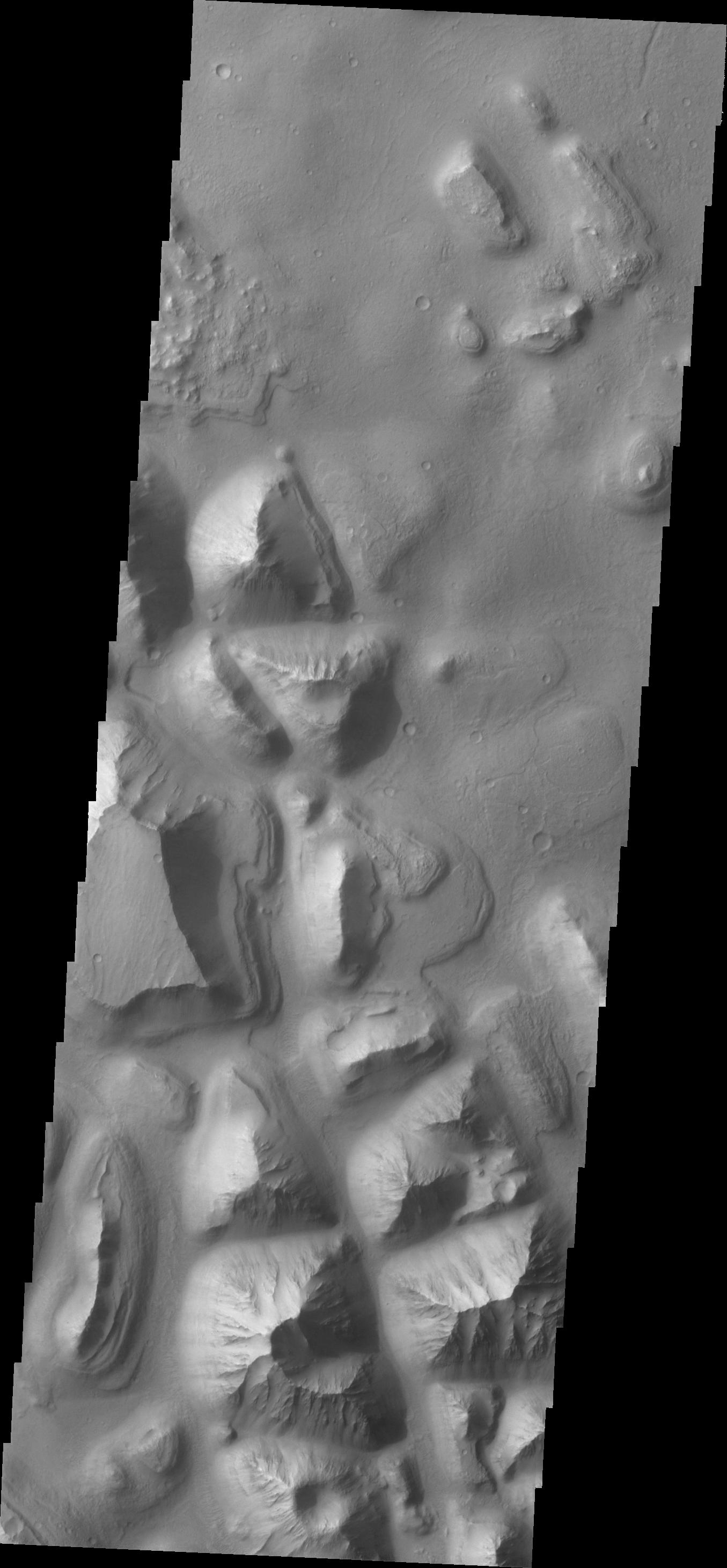
PIA15723:
-
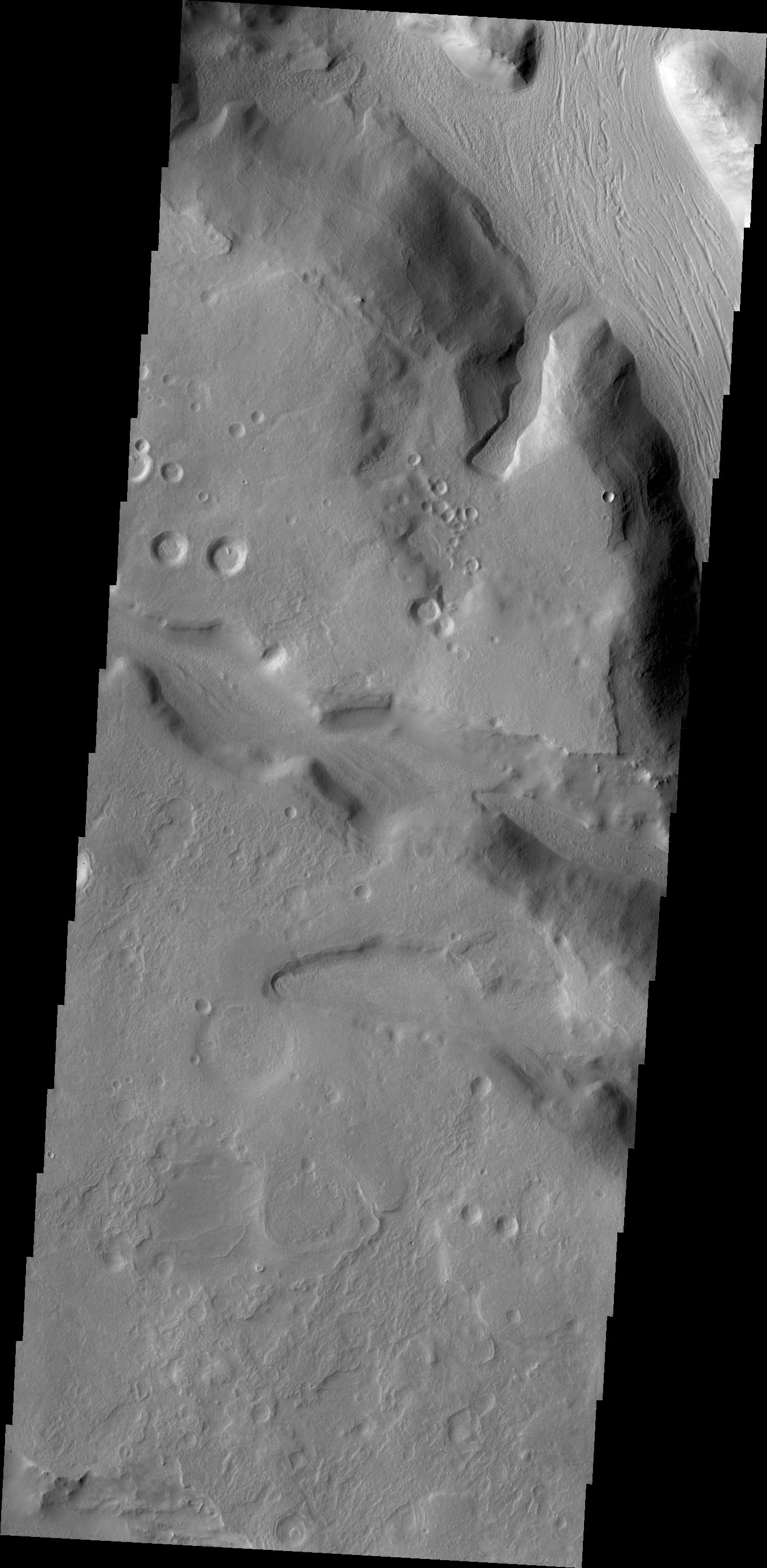
Landslide
Full Resolution:
TIFF
(3.893 MB)
JPEG
(294 kB)
|
|
|
2012-06-13 |
Mars
|
2001 Mars Odyssey
|
THEMIS
|
681x1534x1 |
|
-
PIA15724:
-
Daedalia Planum
Full Resolution:
TIFF
(1.046 MB)
JPEG
(159.5 kB)
|
|
|
2012-06-14 |
Mars
|
2001 Mars Odyssey
|
THEMIS
|
682x1537x1 |
|
-
PIA15725:
-
Daedalia Planum
Full Resolution:
TIFF
(1.049 MB)
JPEG
(158 kB)
|
|
|
2012-06-15 |
Mars
|
2001 Mars Odyssey
|
THEMIS
|
1297x2761x1 |
|
-
PIA15726:
-
Ascraeus Mons
Full Resolution:
TIFF
(3.585 MB)
JPEG
(353 kB)
|
|
|
2012-06-18 |
Mars
|
2001 Mars Odyssey
|
THEMIS
|
559x1440x1 |
|
-
PIA15727:
-
Storm Front
Full Resolution:
TIFF
(806 kB)
JPEG
(89.43 kB)
|
|
|
2012-06-19 |
Mars
|
2001 Mars Odyssey
|
THEMIS
|
1340x2916x1 |
|
-
PIA15728:
-
Tractus Catena
Full Resolution:
TIFF
(3.912 MB)
JPEG
(249.1 kB)
|
|
|
2012-06-20 |
Mars
|
2001 Mars Odyssey
|
THEMIS
|
1344x2770x1 |

|
-
PIA15729:
-
Olympus Mons
Full Resolution:
TIFF
(3.727 MB)
JPEG
(294.9 kB)
|
|
|
2012-06-21 |
Mars
|
2001 Mars Odyssey
|
THEMIS
|
1355x2922x1 |

|
-
PIA15730:
-
Hydraotes Chaos
Full Resolution:
TIFF
(3.963 MB)
JPEG
(259.8 kB)
|
|
|
2012-06-22 |
Mars
|
2001 Mars Odyssey
|
THEMIS
|
1296x2184x1 |
|
-
PIA15731:
-
Channel
Full Resolution:
TIFF
(2.834 MB)
JPEG
(425.3 kB)
|
|
|
2012-06-25 |
Mars
|
2001 Mars Odyssey
|
THEMIS
|
1354x2918x1 |
|
-
PIA15732:
-
Wind Erosion
Full Resolution:
TIFF
(3.955 MB)
JPEG
(511.1 kB)
|
|
|
2012-06-26 |
Mars
|
2001 Mars Odyssey
|
THEMIS
|
1348x2921x1 |
|
-
PIA15733:
-
Chaos
Full Resolution:
TIFF
(3.942 MB)
JPEG
(414.5 kB)
|
|
|
2012-06-27 |
Mars
|
2001 Mars Odyssey
|
THEMIS
|
1339x2927x1 |
|
-
PIA15734:
-
Winds
Full Resolution:
TIFF
(3.923 MB)
JPEG
(469.5 kB)
|
|
|
2012-06-28 |
Mars
|
2001 Mars Odyssey
|
THEMIS
|
1331x2917x1 |
|
-
PIA15735:
-
Mega Gully
Full Resolution:
TIFF
(3.887 MB)
JPEG
(245.8 kB)
|
|
|
2012-06-29 |
Mars
|
2001 Mars Odyssey
|
THEMIS
|
1308x2770x1 |
|
-
PIA15736:
-
Pavonis Fossae
Full Resolution:
TIFF
(3.627 MB)
JPEG
(325.2 kB)
|
|
|
2012-07-02 |
Mars
|
2001 Mars Odyssey
|
THEMIS
|
1327x2930x1 |

|
-
PIA15737:
-
Windstreak
Full Resolution:
TIFF
(3.892 MB)
JPEG
(503.4 kB)
|
|
|
2012-07-03 |
Mars
|
2001 Mars Odyssey
|
THEMIS
|
1353x2916x1 |
|
-
PIA15738:
-
Crommelin Crater
Full Resolution:
TIFF
(3.949 MB)
JPEG
(433.1 kB)
|
|
|
2012-07-04 |
Mars
|
2001 Mars Odyssey
|
THEMIS
|
1368x2922x1 |

|
-
PIA15739:
-
Maja Valles
Full Resolution:
TIFF
(4.002 MB)
JPEG
(541.2 kB)
|
|
|
2012-07-05 |
Mars
|
2001 Mars Odyssey
|
THEMIS
|
1359x2769x1 |
|
-
PIA15740:
-
Lycus Sulci
Full Resolution:
TIFF
(3.767 MB)
JPEG
(242.8 kB)
|
|
|
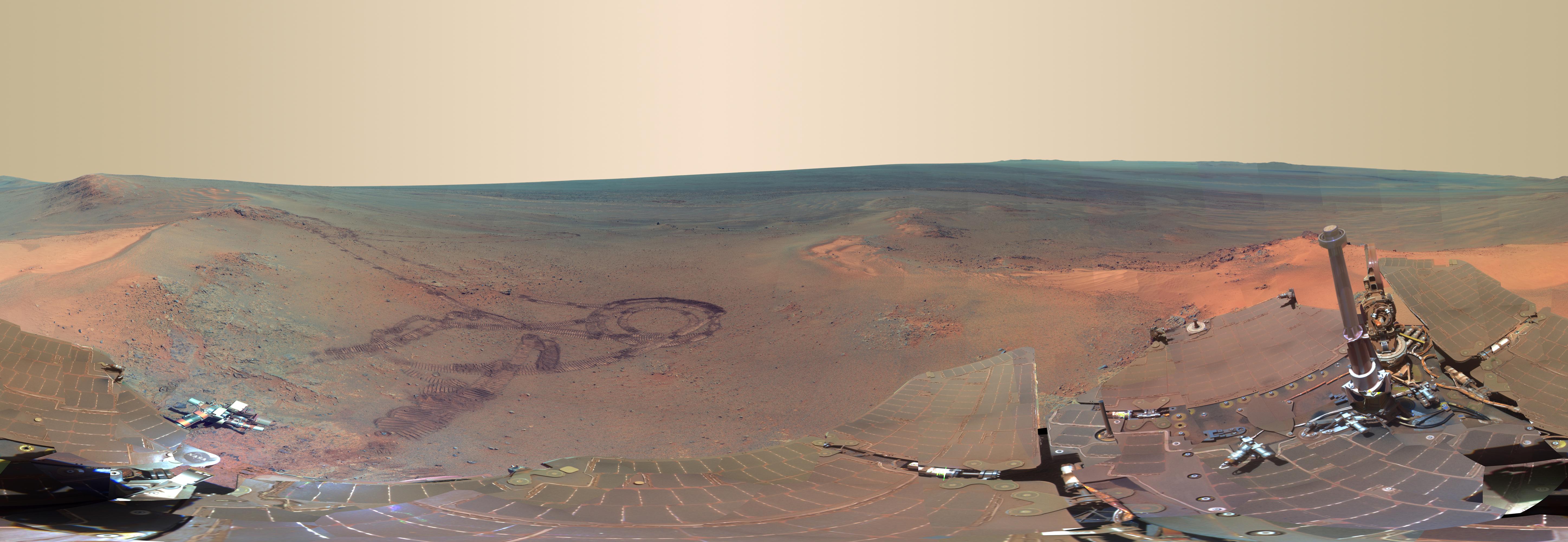
2012-07-05 |
Mars
|
Mars Exploration Rover (MER)
|
Panoramic Camera
|
5788x2000x3 |
|
-
PIA15689:
-
'Greeley Panorama' from Opportunity's Fifth Martian Winter (False Color)
Full Resolution:
TIFF
(34.74 MB)
JPEG
(1.065 MB)
|
|
|
2012-07-06 |
Mars
|
2001 Mars Odyssey
|
THEMIS
|
1332x2773x1 |
|
-
PIA15741:
-
Aureum Chaos
Full Resolution:
TIFF
(3.698 MB)
JPEG
(289.2 kB)
|
|
|
2012-07-09 |
Mars
|
2001 Mars Odyssey
|
THEMIS
|
1145x2784x1 |
|
-
PIA15742:
-
Dunes
Full Resolution:
TIFF
(3.191 MB)
JPEG
(144.3 kB)
|
|
|
2012-07-10 |
Mars
|
2001 Mars Odyssey
|
THEMIS
|
682x1538x1 |

|
-
PIA15743:
-
Daedalia Planum
Full Resolution:
TIFF
(1.05 MB)
JPEG
(148.7 kB)
|
|
|
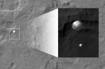
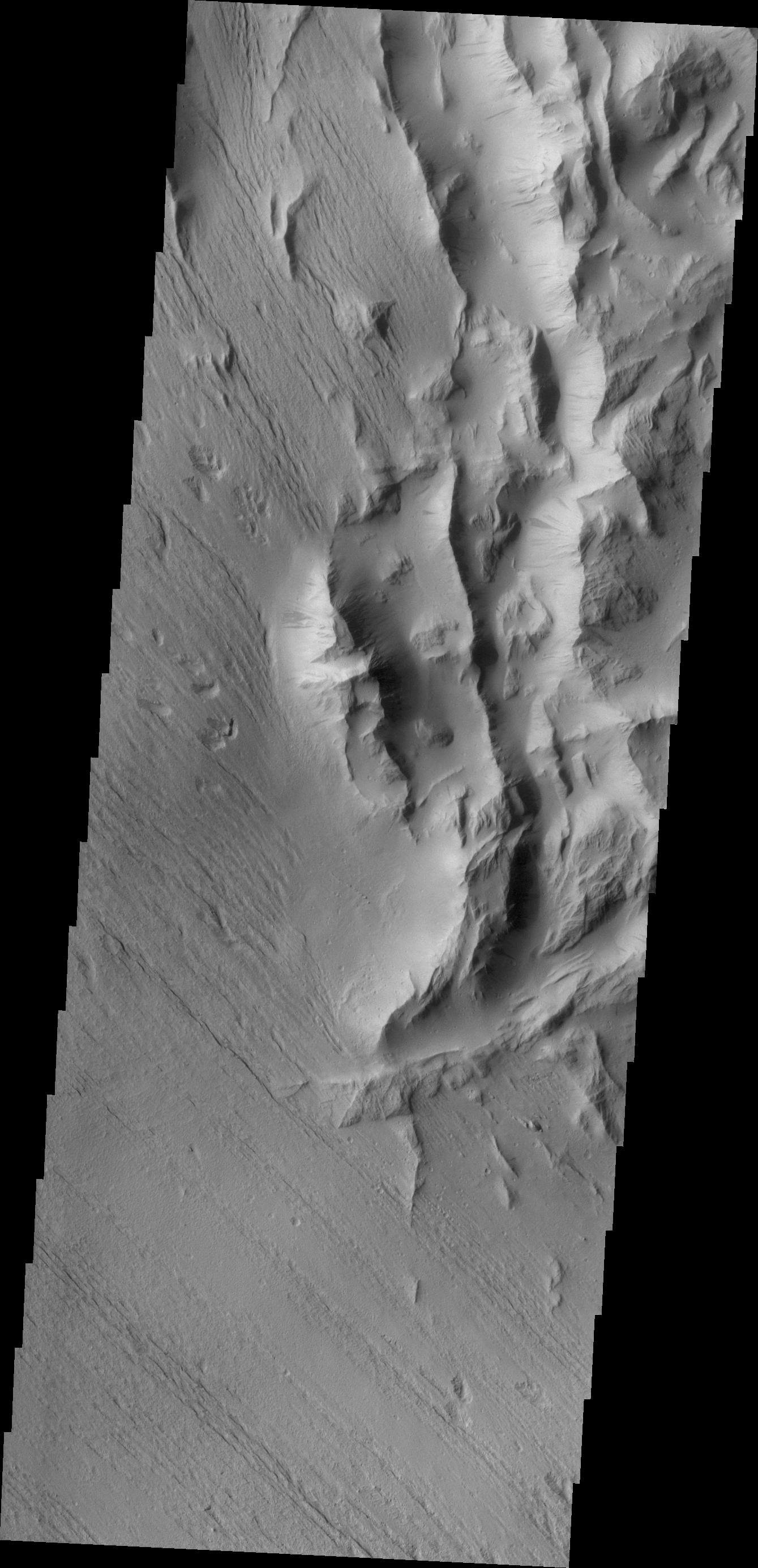
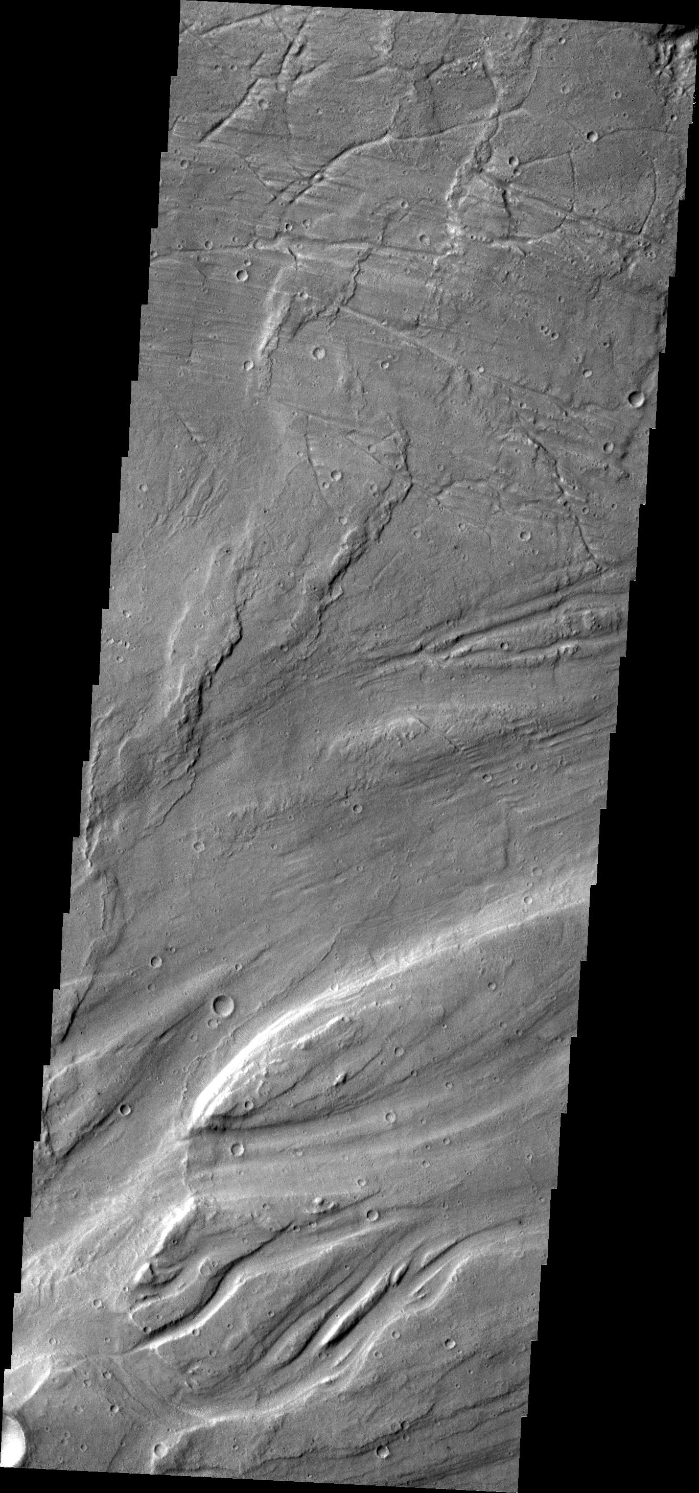
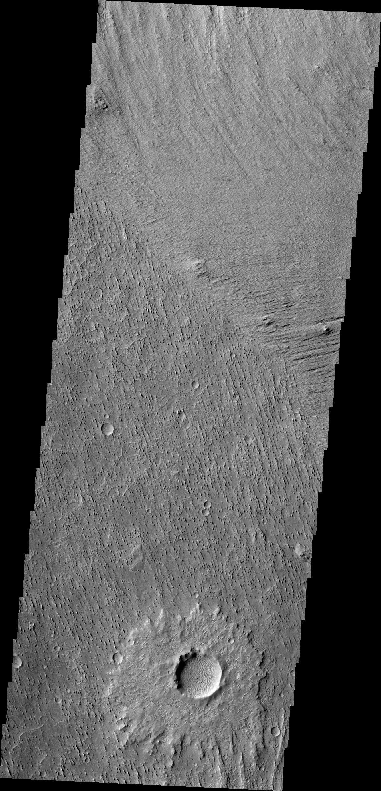
2012-07-11 |
Mars
|
2001 Mars Odyssey
|
THEMIS
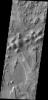
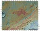
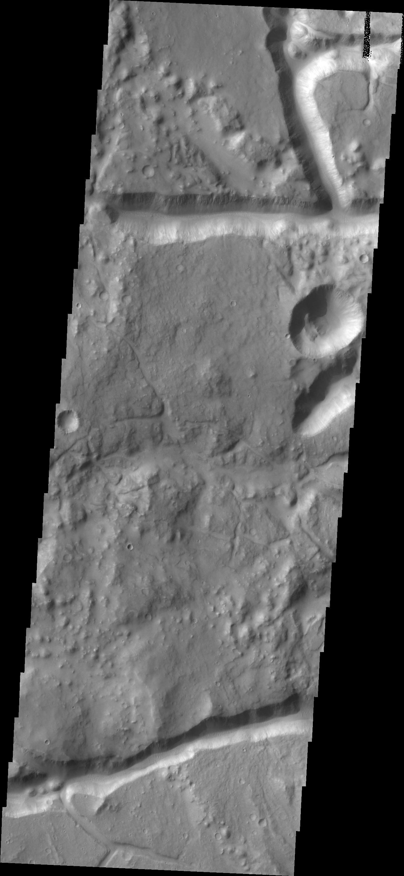
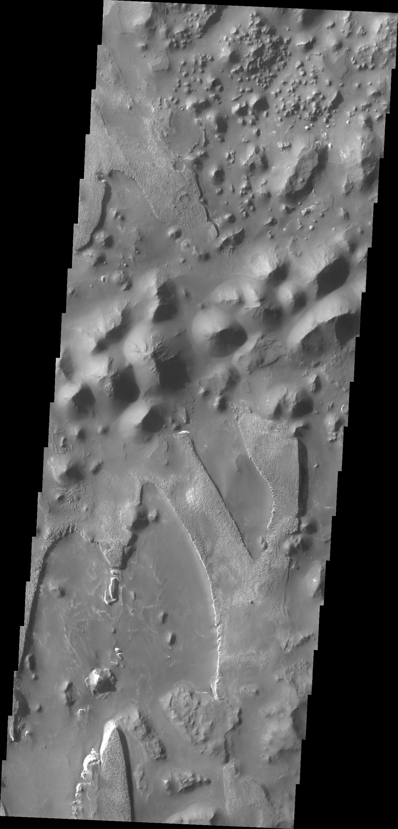
|
1313x2922x1 |
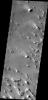
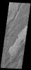
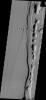
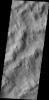
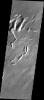
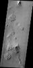
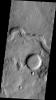
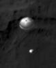
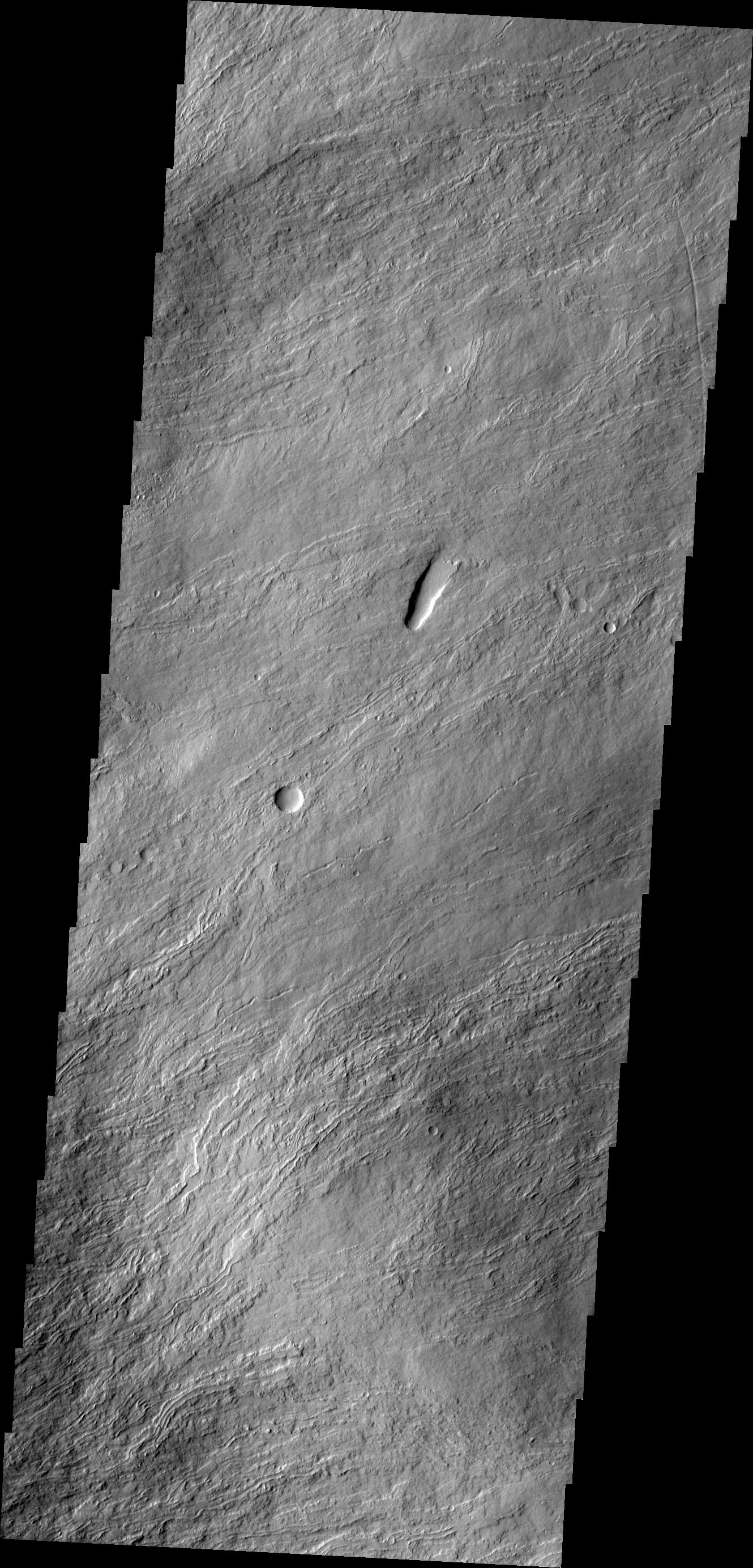
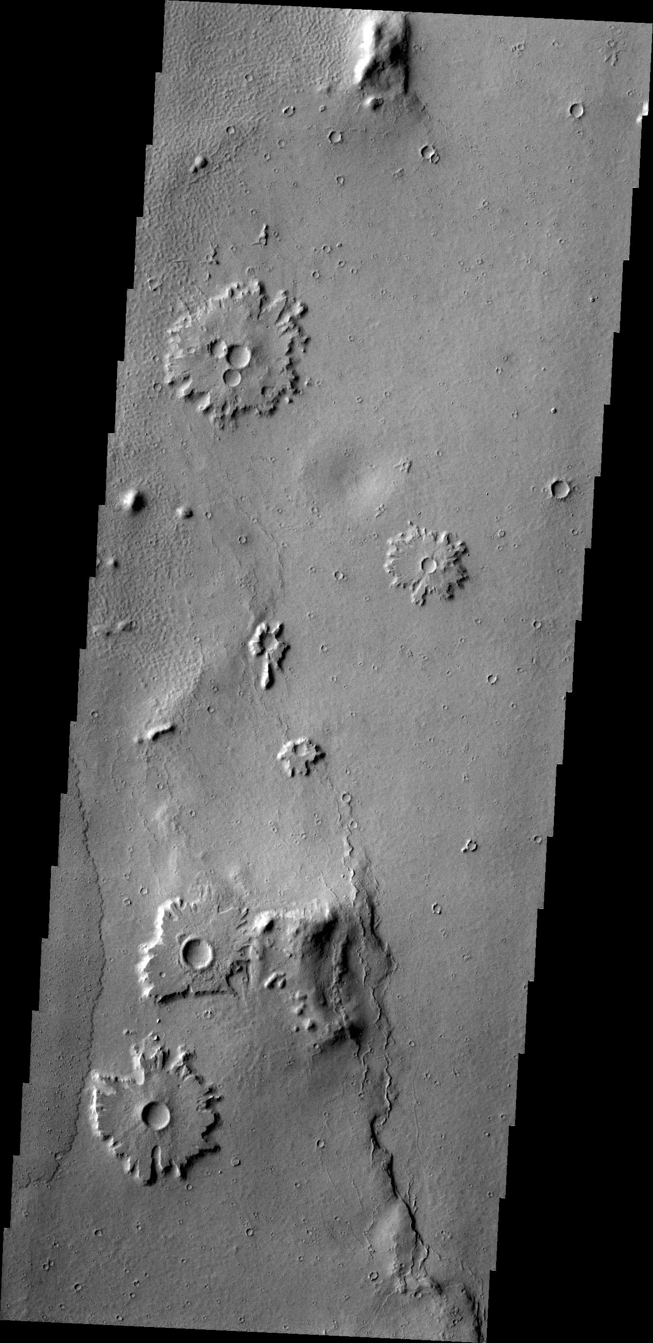
![Oti Fossae are paired fractures with a downdropped block [called graben] located on the eastern flank of Arsia Mons as seen by NASA's 2001 Mars Odyssey spacecraft.](/thumb/PIA15744.jpg)
|
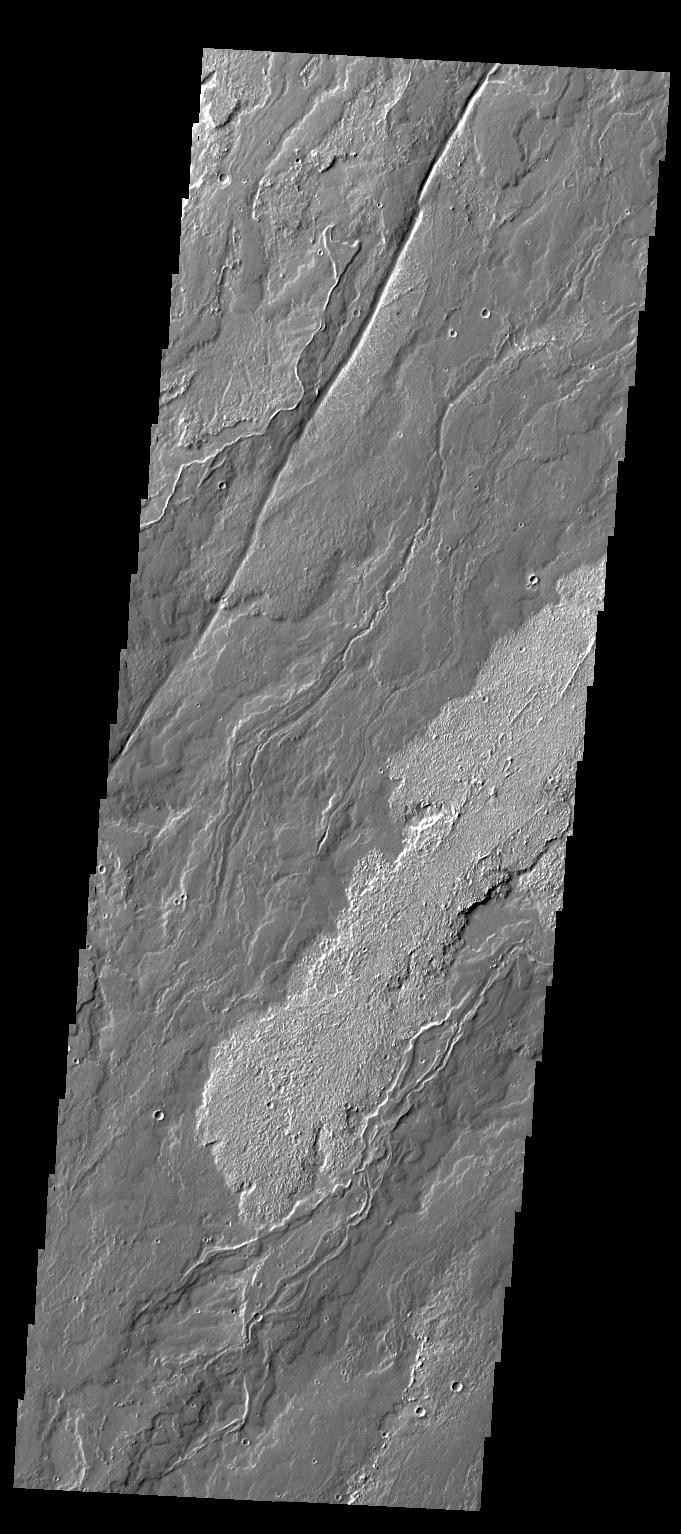
-
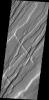
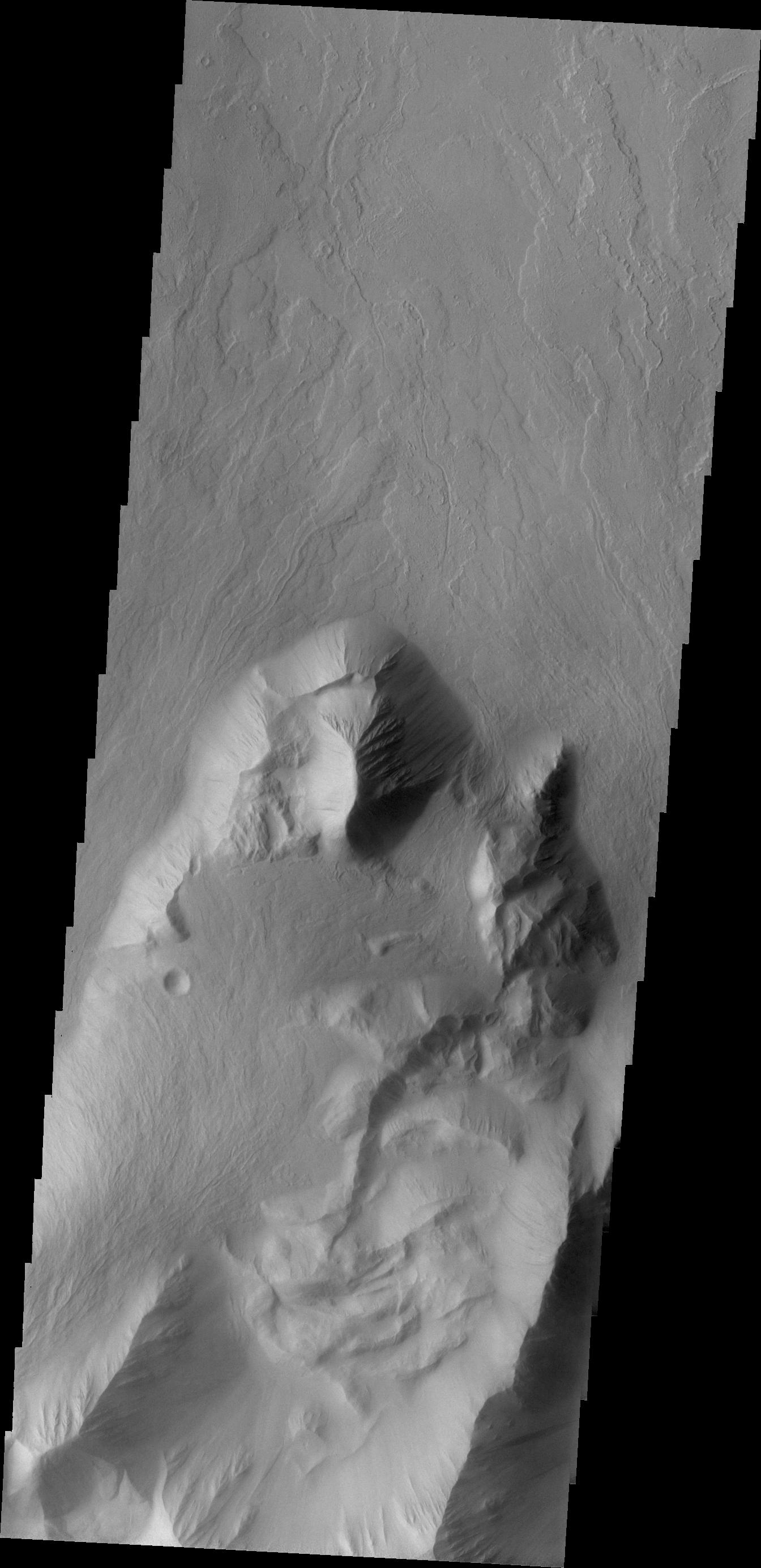
PIA15744:
-
Oti Fossae
Full Resolution:
TIFF
(3.841 MB)
JPEG
(493.7 kB)
|
|
|
2012-07-12 |
Mars
|
2001 Mars Odyssey
|
THEMIS
|
1343x2776x1 |
|
-
PIA15745:
-
Wind Erosion
Full Resolution:
TIFF
(3.732 MB)
JPEG
(450.4 kB)
|
|
|
2012-07-13 |
Mars
|
2001 Mars Odyssey
|
THEMIS
|
1373x2788x1 |
|
-
PIA15746:
-
Craters
Full Resolution:
TIFF
(3.833 MB)
JPEG
(514.5 kB)
|
|
|
2012-07-16 |
Mars
|
2001 Mars Odyssey
|
THEMIS
|
1255x2030x1 |
|
-
PIA15747:
-
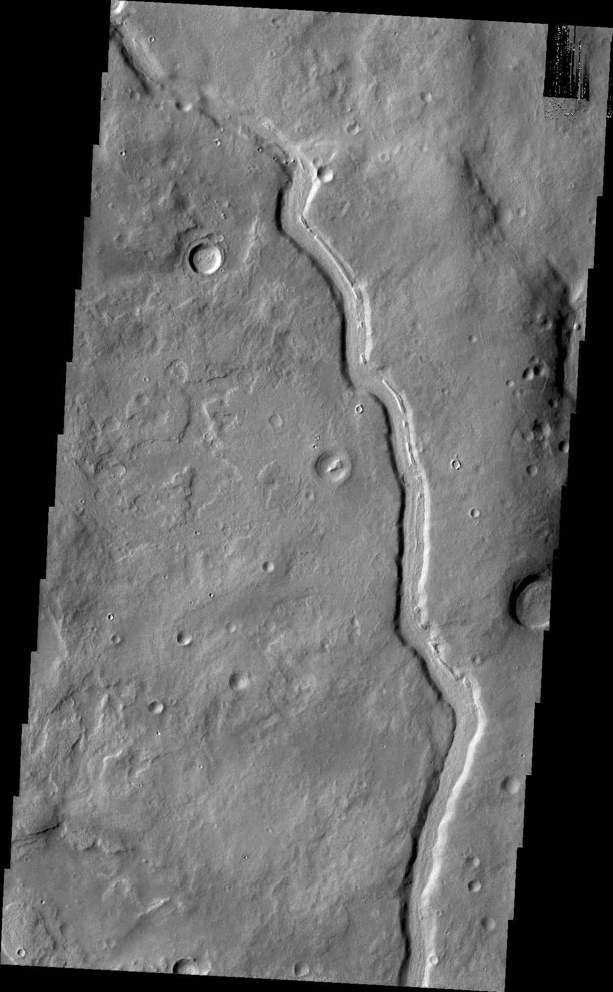
Channel
Full Resolution:
TIFF
(2.551 MB)
JPEG
(341 kB)
|
|
|
2012-07-16 |
Mars
|
2001 Mars Odyssey
|
THEMIS
|
792x612x3 |
|
-
PIA15690:
-
Geological Diversity at Curiosity's Landing Site
Full Resolution:
TIFF
(1.455 MB)
JPEG
(118.8 kB)
|
|
|
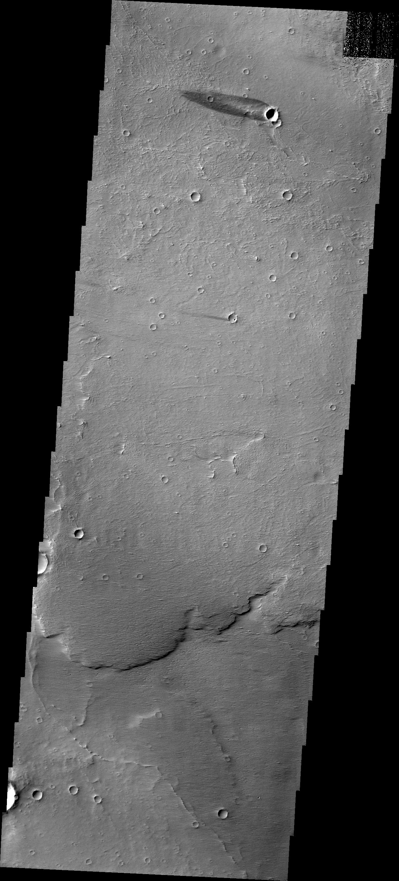
2012-07-17 |
Mars
|
2001 Mars Odyssey
|
THEMIS
|
1385x2919x1 |

|
-
PIA15748:
-
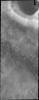
Lismore Crater
Full Resolution:
TIFF
(4.048 MB)
JPEG
(412.4 kB)
|
|
|
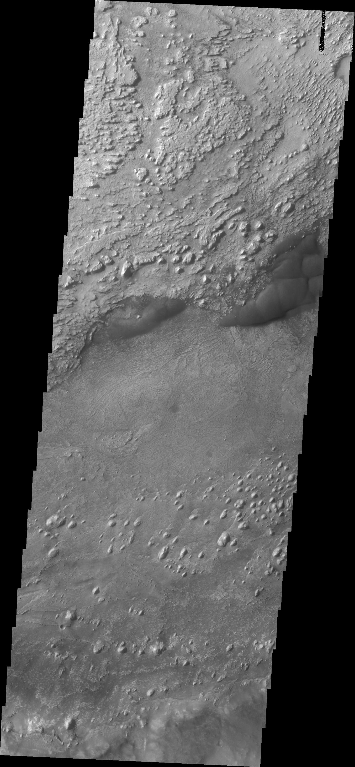
2012-07-18 |
Mars
|
2001 Mars Odyssey
|
THEMIS
|
1413x2940x1 |

|
-
PIA15749:
-
Utopia Planitia
Full Resolution:
TIFF
(4.159 MB)
JPEG
(475.4 kB)
|
|
|
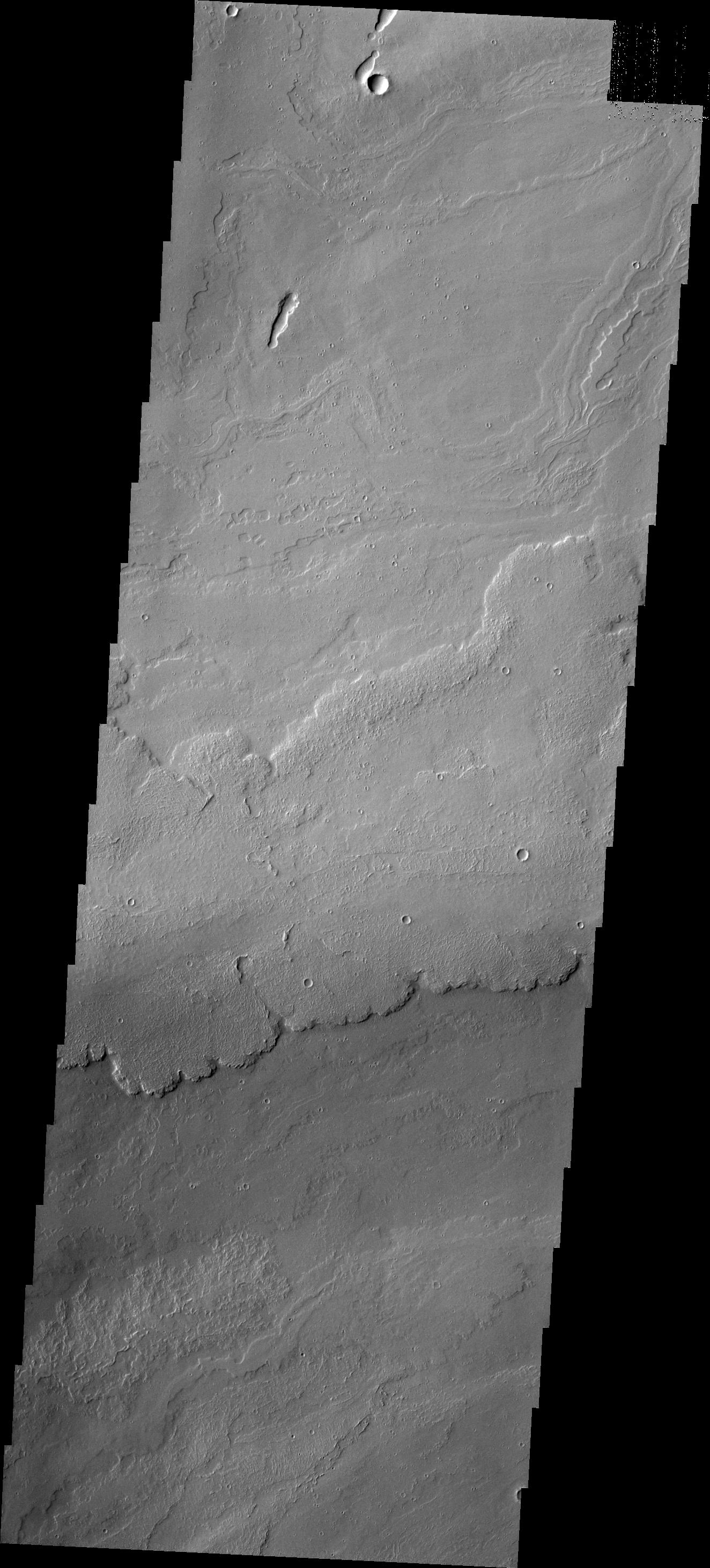
2012-07-19 |
Mars
|
2001 Mars Odyssey
|
THEMIS
|
1339x2766x1 |
|
-
PIA15750:
-
Maja Valles
Full Resolution:
TIFF
(3.708 MB)
JPEG
(440.8 kB)
|
|
|
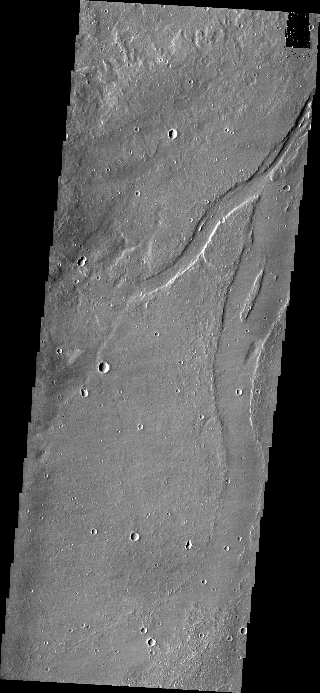
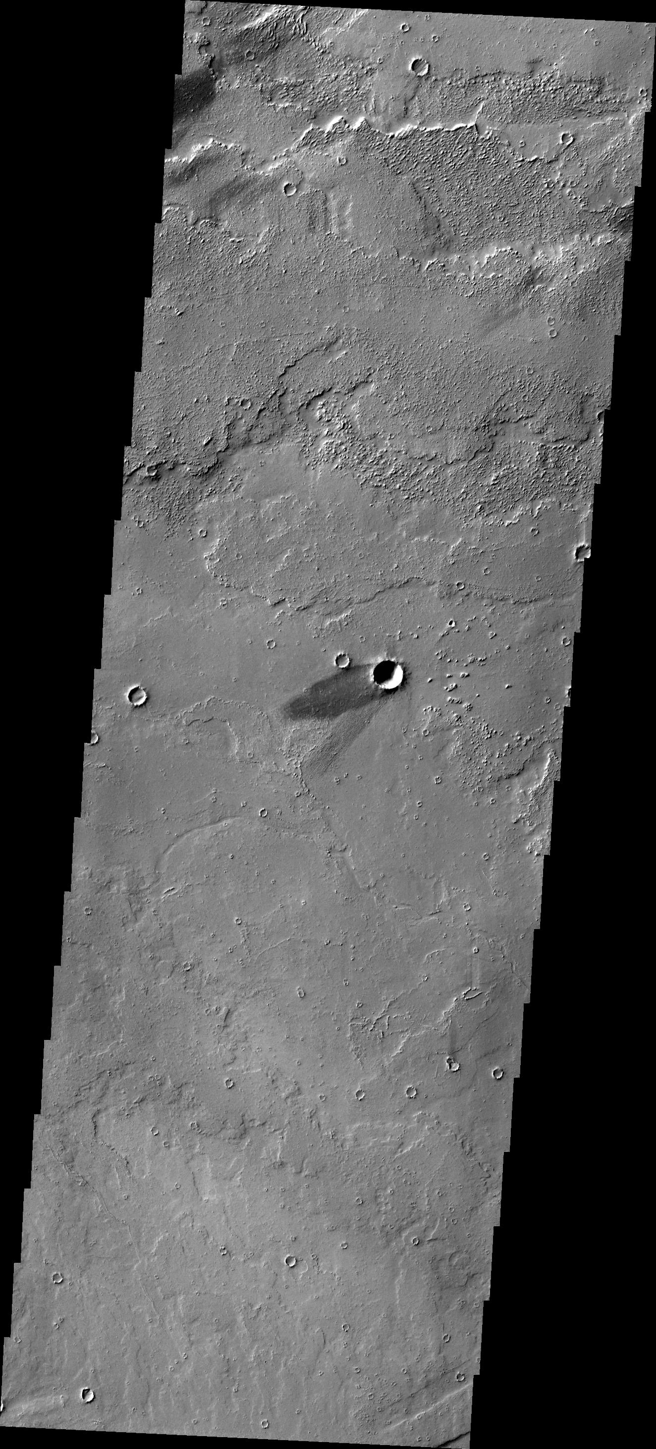
2012-07-20 |
Mars
|
2001 Mars Odyssey
|
THEMIS
|
1300x2921x1 |
|
-
PIA15751:
-
Arsia Mons
Full Resolution:
TIFF
(3.801 MB)
JPEG
(288.6 kB)
|
|
|
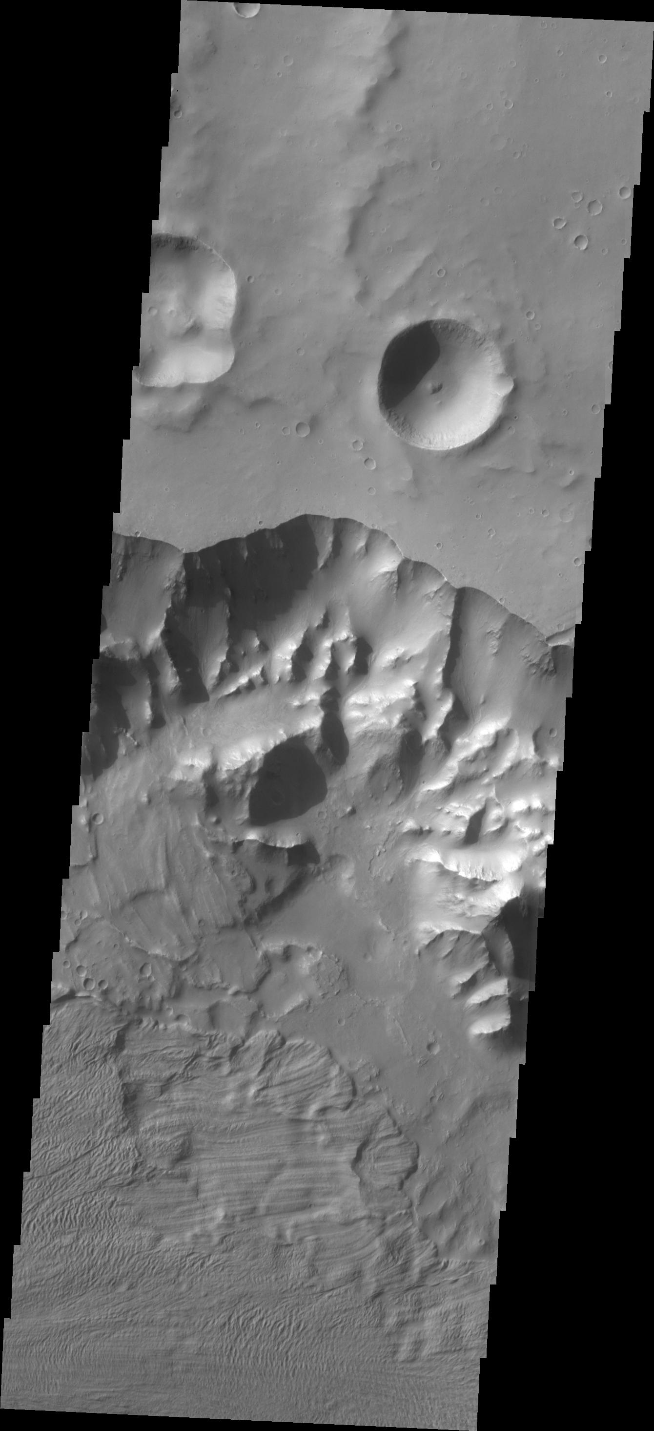
2012-07-23 |
Mars
|
2001 Mars Odyssey
|
THEMIS
|
1356x2770x1 |
|
-
PIA15752:
-
Channel
Full Resolution:
TIFF
(3.76 MB)
JPEG
(396.4 kB)
|
|
|
2012-07-24 |
Mars
|
2001 Mars Odyssey
|
THEMIS
|
700x1546x1 |
|
-
PIA15753:
-
Olympus Rupes
Full Resolution:
TIFF
(1.084 MB)
JPEG
(118.6 kB)
|
|
|
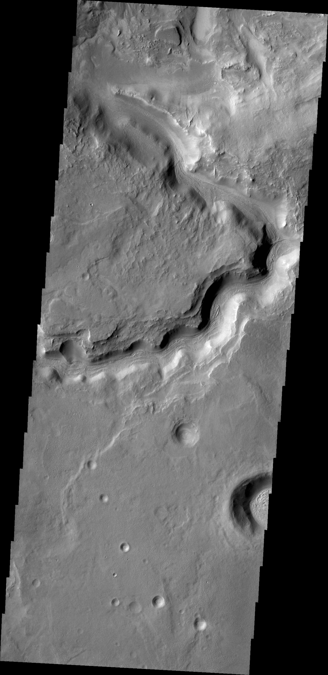
2012-07-25 |
Mars
|
2001 Mars Odyssey
|
THEMIS
|
1361x2907x1 |

|
-
PIA15754:
-
Marte Vallis
Full Resolution:
TIFF
(3.961 MB)
JPEG
(416 kB)
|
|
|
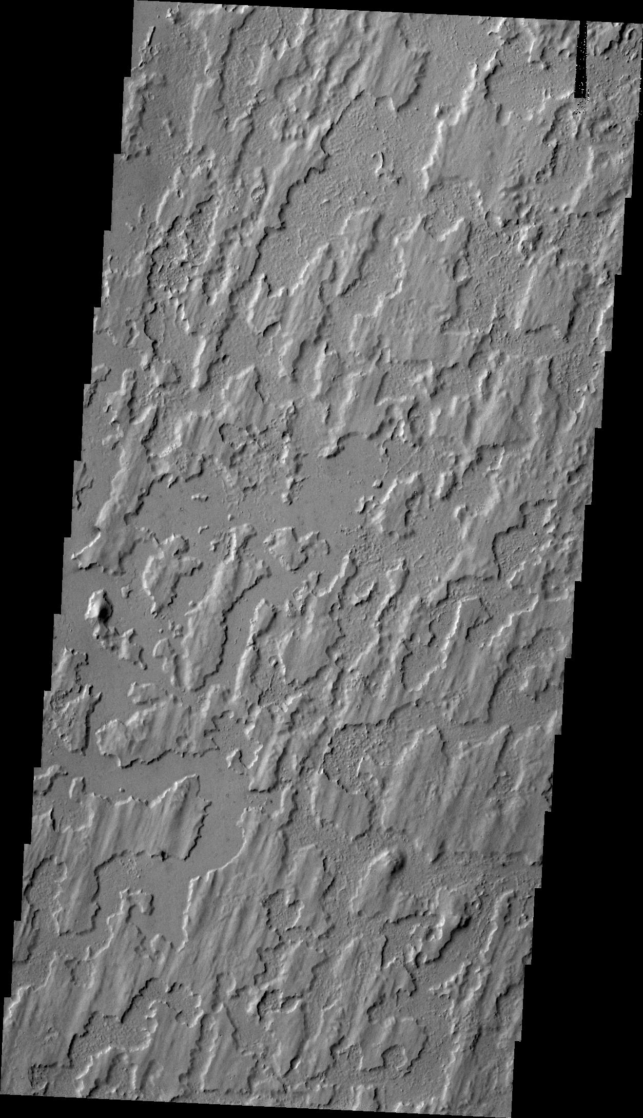
2012-07-26 |
Mars
|
2001 Mars Odyssey
|
THEMIS
|
1334x2769x1 |
|
-
PIA15755:
-
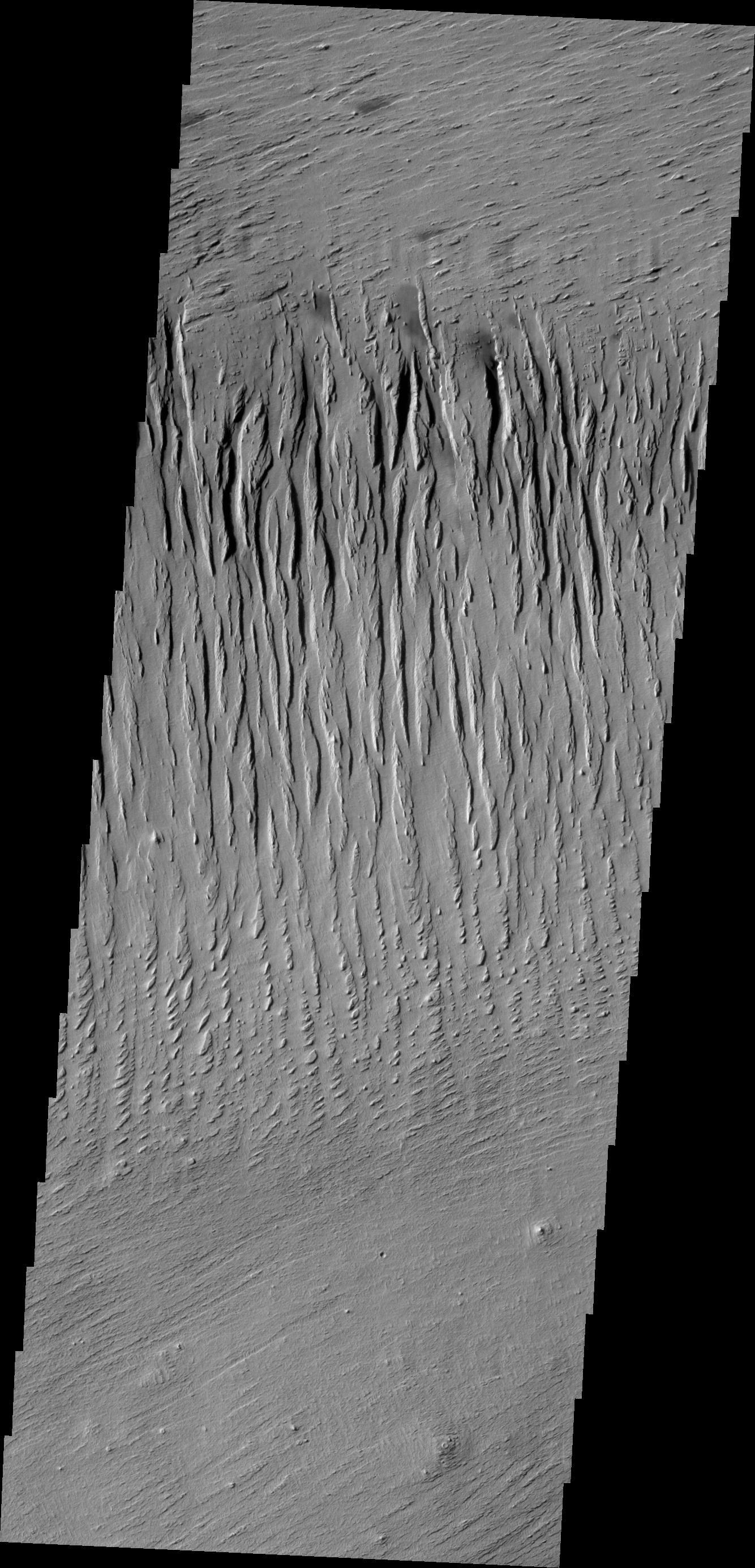
Yardangs
Full Resolution:
TIFF
(3.698 MB)
JPEG
(493.1 kB)
|
|
|
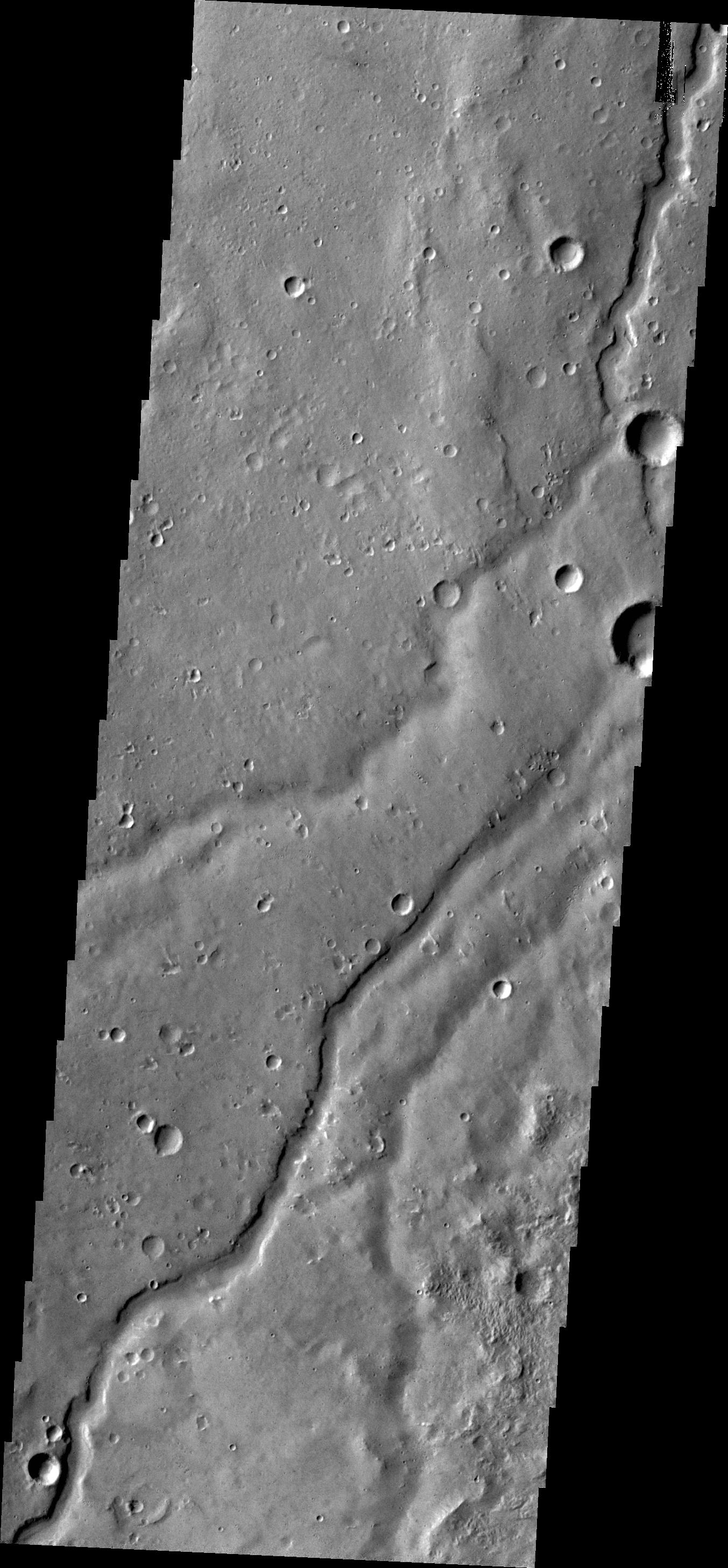
2012-07-27 |
Mars
|
2001 Mars Odyssey
|
THEMIS
|
1358x2776x1 |
|
-
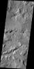
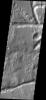
PIA15907:
-
Channels
Full Resolution:
TIFF
(3.774 MB)
JPEG
(351.7 kB)
|
|
|
2012-07-30 |
Mars
|
2001 Mars Odyssey
|
THEMIS
|
690x1539x1 |

|
-
PIA15908:
-
Naktong Vallis
Full Resolution:
TIFF
(1.063 MB)
JPEG
(95.07 kB)
|
|
|
2012-07-31 |
Mars
|
2001 Mars Odyssey
|
THEMIS
|
688x1538x1 |
|
-
PIA15911:
-
Gale Crater
Full Resolution:
TIFF
(1.059 MB)
JPEG
(93.69 kB)
|
|
|
2012-08-01 |
Mars
|
2001 Mars Odyssey
|
THEMIS
|
689x1538x1 |
|
-
PIA15912:
-
Channels
Full Resolution:
TIFF
(1.061 MB)
JPEG
(99.05 kB)
|
|
|
2012-08-02 |
Mars
|
2001 Mars Odyssey
|
THEMIS
|
1344x2766x1 |
|
-
PIA15913:
-
Crater Ejecta
Full Resolution:
TIFF
(3.721 MB)
JPEG
(487.1 kB)
|
|
|
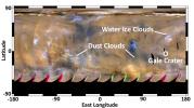
2012-08-02 |
Mars
|
Mars Science Laboratory (MSL)
|
|
3300x2550x3 |
|
-
PIA15956:
-
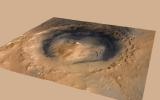
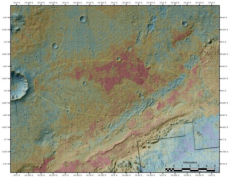
Topographic Map of Curiosity Landing Area
Full Resolution:
TIFF
(25.26 MB)
JPEG
(2.232 MB)
|
|
|
2012-08-02 |
Mars
|
Mars Science Laboratory (MSL)
|
HiRISE
|
9000x6750x3 |
|
-
PIA15957:
-
Close-up of Curiosity's Landing Region
Full Resolution:
TIFF
(182.3 MB)
JPEG
(7.397 MB)
|
|
|
2012-08-02 |
Mars
|
Mars Science Laboratory (MSL)
|
MOLA
|
718x468x3 |
|
-
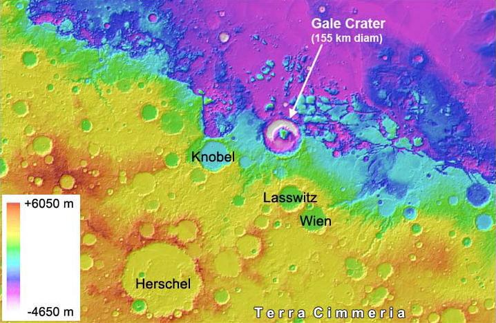
PIA15958:
-
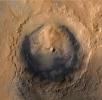
Gale Crater is Low on Mars
Full Resolution:
TIFF
(1.009 MB)
JPEG
(76.15 kB)
|
|
|
2012-08-02 |
Mars
|
Mars Reconnaissance Orbiter (MRO)
|
MARCI
|
1300x1400x3 |
|
-
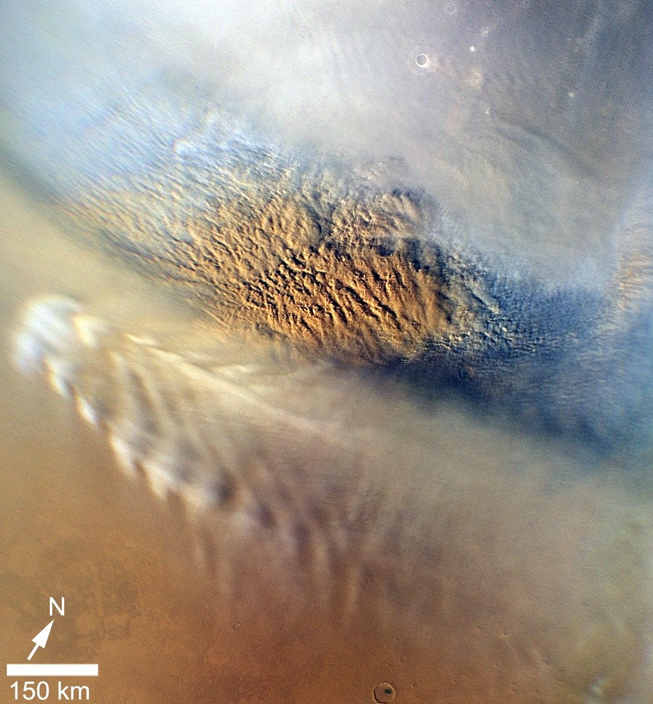
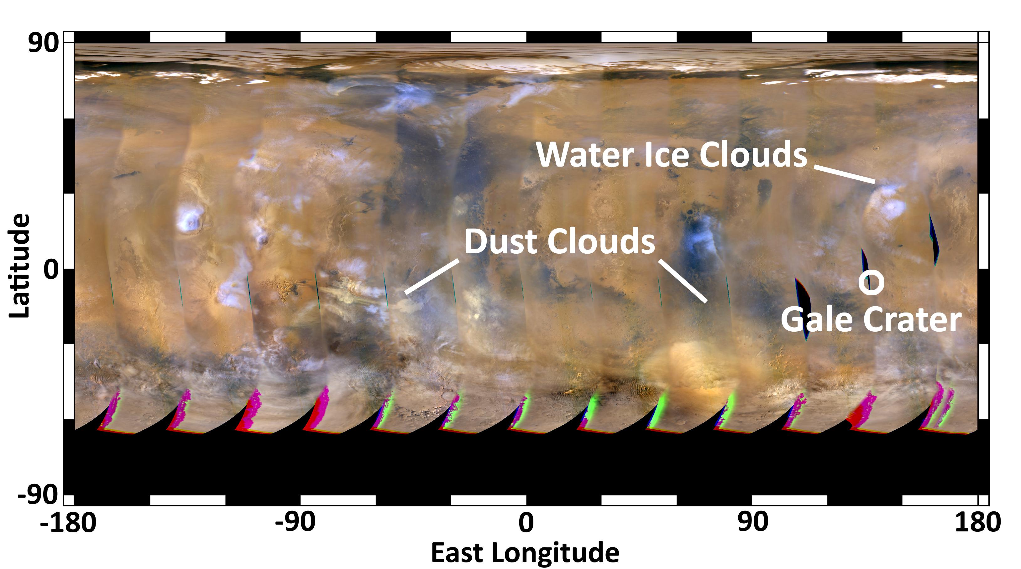
PIA15959:
-
Martian Dust Storm
Full Resolution:
TIFF
(5.462 MB)
JPEG
(402.9 kB)
|
|
|
2012-08-03 |
Mars
|
2001 Mars Odyssey
|
THEMIS
|
1301x2326x1 |
|
-
PIA15914:
-
V46125015
Full Resolution:
TIFF
(3.029 MB)
JPEG
(383.9 kB)
|
|
|
2012-08-03 |
Mars
|
Mars Science Laboratory (MSL)
|
MAHLI
|
676x677x1 |
|
-
PIA15961:
-
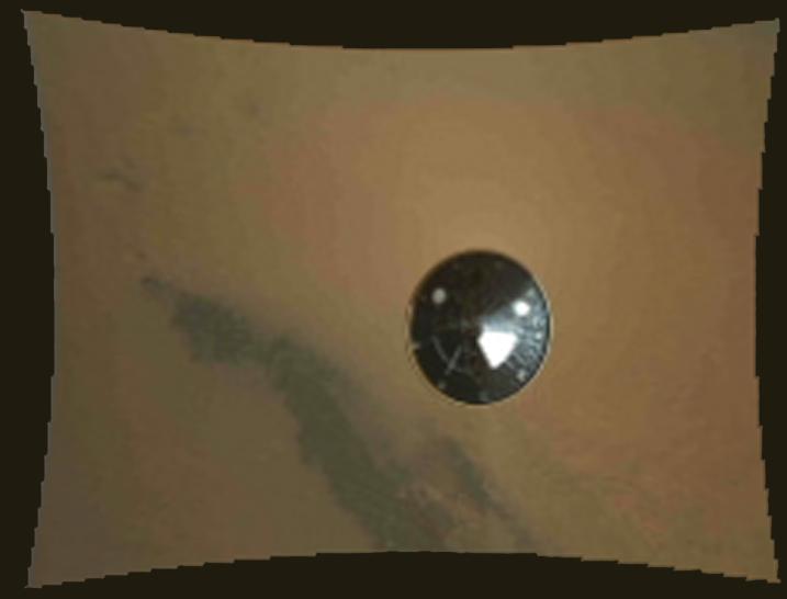
Popping the Lid off Curiosity's Hazard Cameras

Full Resolution:
TIFF
(458.3 kB)
JPEG
(49.74 kB)
|
|
|
2012-08-04 |
Mars
|
Mars Reconnaissance Orbiter (MRO)
Mars Science Laboratory (MSL)
|
MARCI
|
3258x1817x3 |

|
-
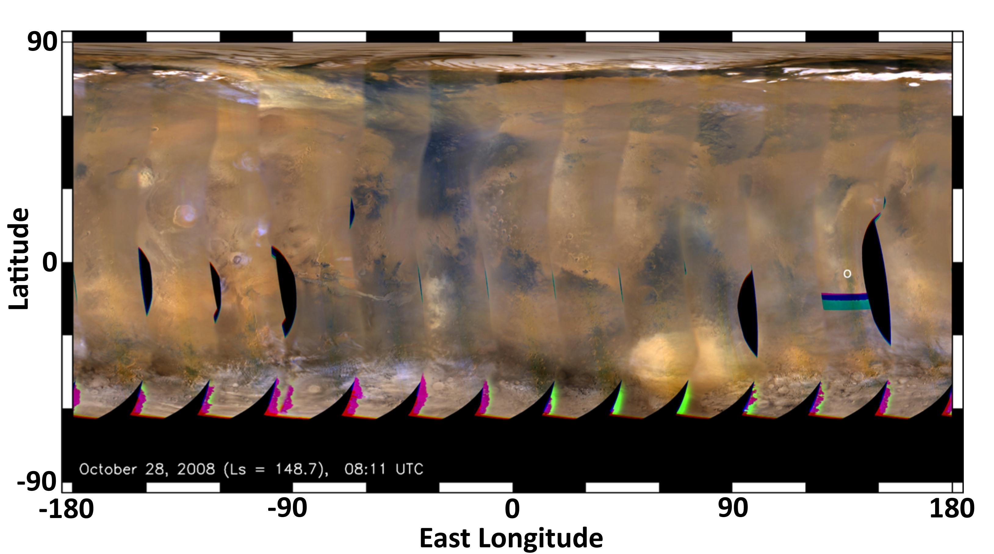
PIA15962:
-
Mars Weather Map, Aug. 2, 2012
Full Resolution:
TIFF
(17.77 MB)
JPEG
(500.2 kB)
|
|
|
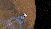
2012-08-04 |
Mars
|
Mars Reconnaissance Orbiter (MRO)
Mars Science Laboratory (MSL)
|
MARCI
|
3258x1817x3 |
|
-
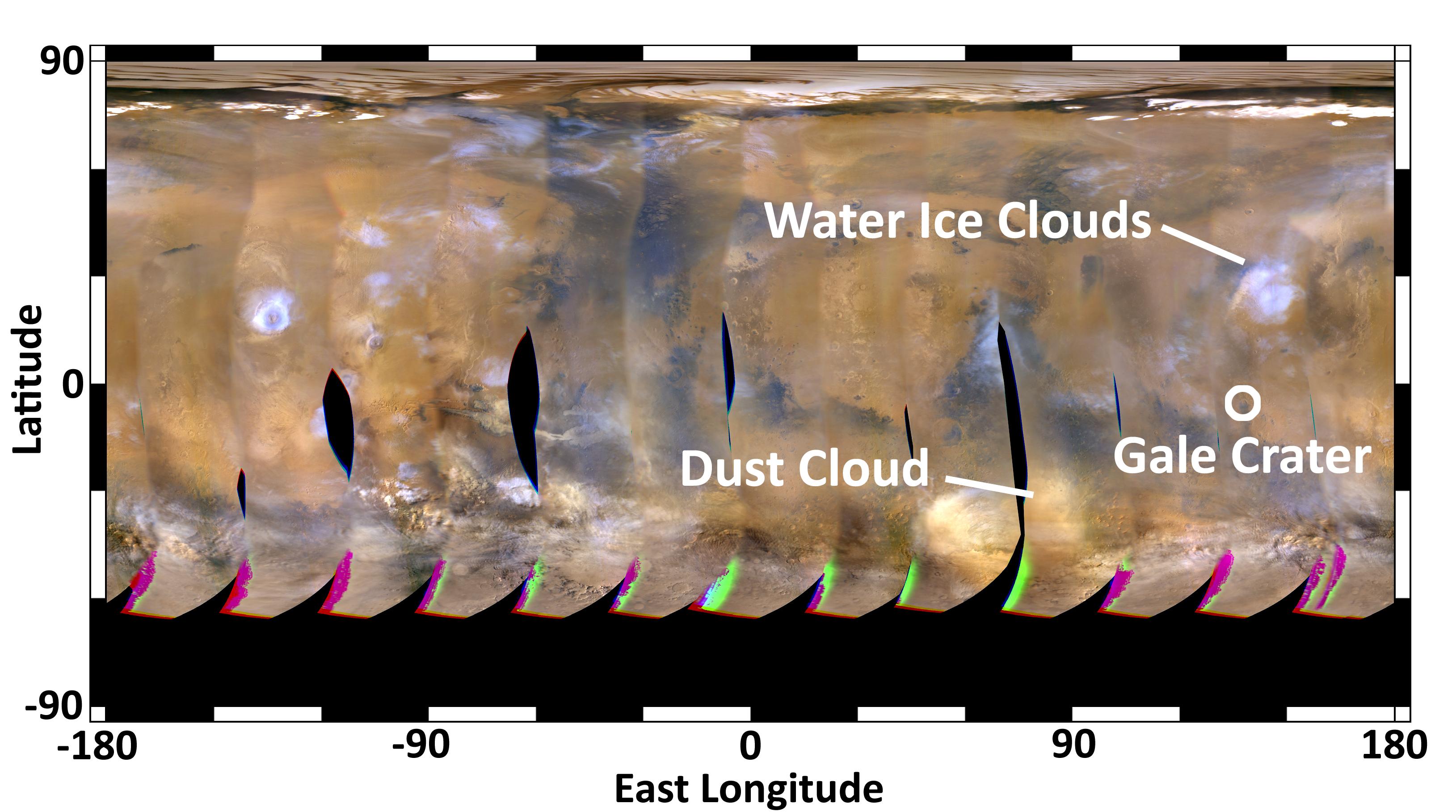
PIA15963:
-
Mars Weather Map, 2008
Full Resolution:
TIFF
(17.77 MB)
JPEG
(354 kB)
|
|
|
2012-08-04 |
Mars
|
Mars Reconnaissance Orbiter (MRO)
Mars Science Laboratory (MSL)
|
|
1051x727x3 |
|
-
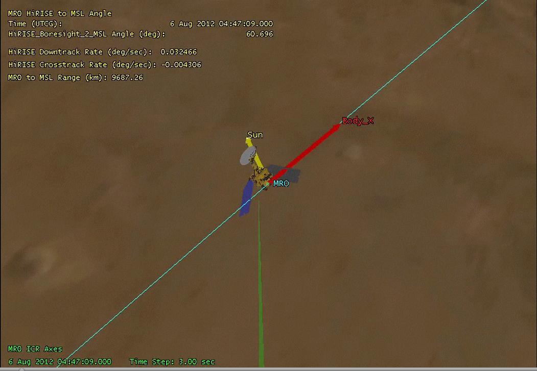
PIA15964:
-
Mars Reconnaissance Orbiter Flying Over Mars
Full Resolution:
TIFF
(2.293 MB)
JPEG
(68.13 kB)
|
|
|
2012-08-04 |
Mars
|
Mars Science Laboratory (MSL)
|
|
1279x719x3 |
|
-
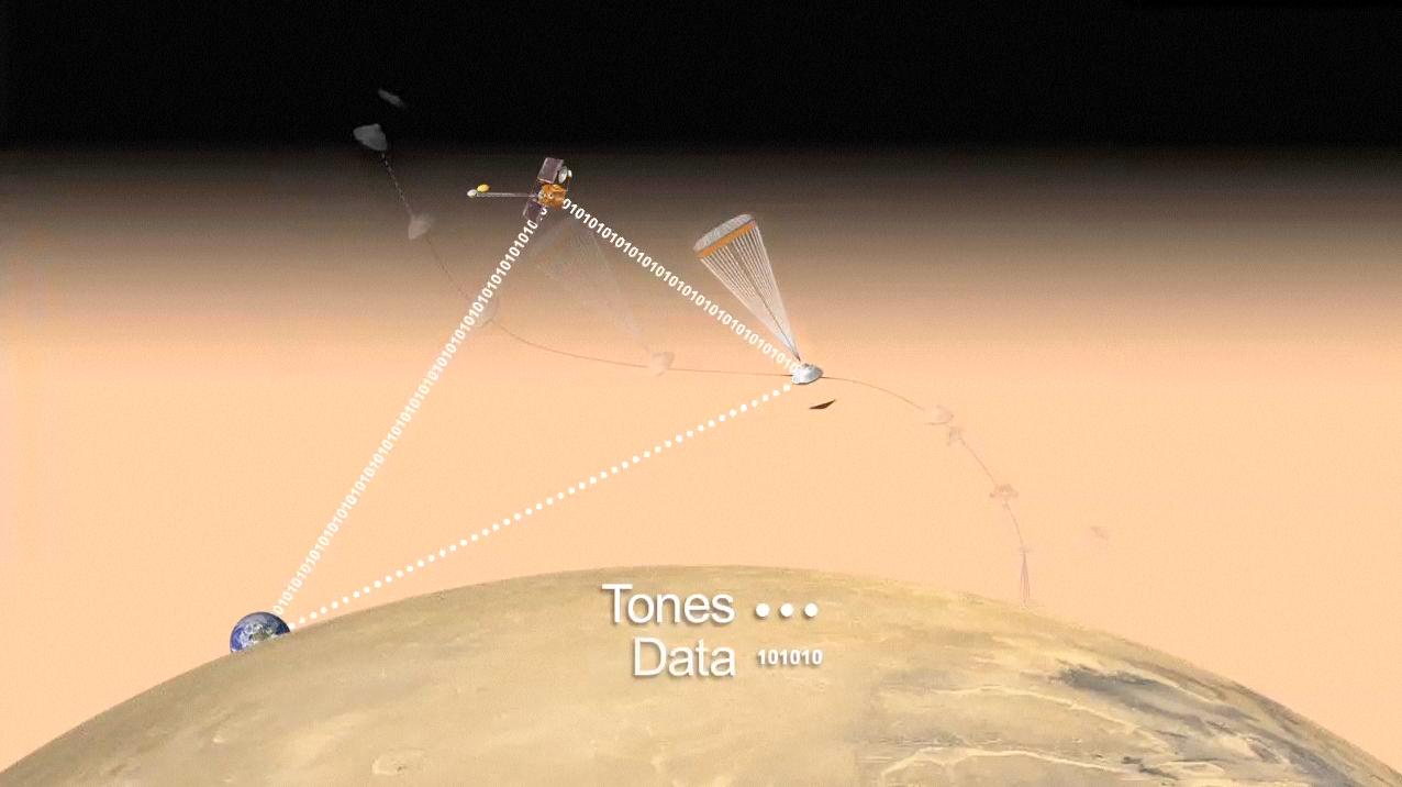
PIA15965:
-
Communicating with Curiosity (Artist's Concept)
Full Resolution:
TIFF
(2.76 MB)
JPEG
(83.23 kB)
|
|
|
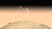
2012-08-04 |
Mars
|
Mars Science Laboratory (MSL)
|
|
1278x718x3 |

|
-
PIA15966:
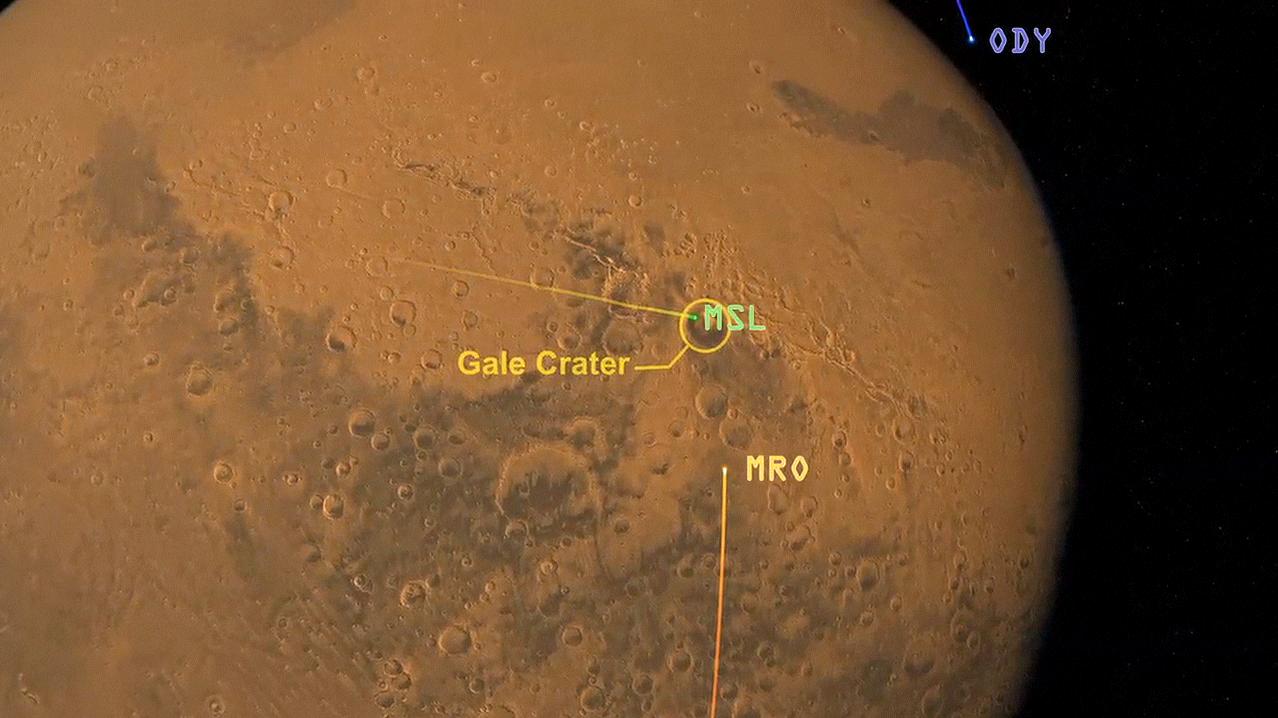
-
Great Convergence of Spacecraft around Mars
Full Resolution:
TIFF
(2.754 MB)
JPEG
(94.02 kB)
|
|
|
2012-08-04 |
Mars
|
Mars Science Laboratory (MSL)
|
|
1276x716x3 |
|
-
PIA15967:
-
Curiosity Speaks (Artist's Concept)
Full Resolution:
TIFF
(2.742 MB)
JPEG
(66.63 kB)
|
|
|
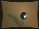
2012-08-05 |
Mars
|
Mars Reconnaissance Orbiter (MRO)
Mars Science Laboratory (MSL)
|
MARCI
|
3258x1817x3 |
|
-
PIA15968:
-
Mars Weather Map, Aug. 4, 2012
Full Resolution:
TIFF
(17.77 MB)
JPEG
(485.6 kB)
|
|
|
2012-08-06 |
Mars
|
Mars Science Laboratory (MSL)
|
|
256x256x1 |
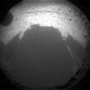
|
-
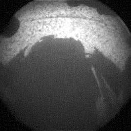
PIA15969:
-
Curiosity Snaps Picture of Its Shadow
Full Resolution:
TIFF
(65.82 kB)
JPEG
(6.73 kB)
|
|
|
2012-08-06 |
Mars
|
Mars Science Laboratory (MSL)
|
|
256x256x1 |

|
-
PIA15970:
-
Curiosity Snaps Picture of Its Shadow
Full Resolution:
TIFF
(65.82 kB)
JPEG
(10.03 kB)
|
|
|
2012-08-06 |
Mars
|
Mars Science Laboratory (MSL)
|
|
256x256x1 |

|
-
PIA15971:
-
What Lies Behind Curiosity
Full Resolution:
TIFF
(65.82 kB)
JPEG
(5.204 kB)
|
|
|
2012-08-06 |
Mars
|
Mars Science Laboratory (MSL)
|
|
256x256x1 |

|
-
PIA15972:
-
What Lies Behind Curiosity
Full Resolution:
TIFF
(65.82 kB)
JPEG
(5.105 kB)
|
|
|
2012-08-06 |
Mars
|
Mars Science Laboratory (MSL)
|
|
512x512x1 |
|
-
PIA15973:
-
Curiosity's Surroundings
Full Resolution:
TIFF
(262.6 kB)
JPEG
(42.74 kB)
|
|
|
2012-08-06 |
Mars
|
2001 Mars Odyssey
|
THEMIS
|
1336x2769x1 |

|
-
PIA15915:
-
Wind Erosion
Full Resolution:
TIFF
(3.703 MB)
JPEG
(614.3 kB)
|
|
|
2012-08-06 |
Mars
|
Mars Science Laboratory (MSL)
|
|
506x463x1 |
|
-
PIA15974:
-
Curiosity's Rear View, Linearized
Full Resolution:
TIFF
(234.7 kB)
JPEG
(21.97 kB)
|
|
|
2012-08-06 |
Mars
|
Mars Science Laboratory (MSL)
|
|
506x463x1 |
|
-
PIA15975:
-
Curiosity's Rear View, Linearized
Full Resolution:
TIFF
(234.7 kB)
JPEG
(21.96 kB)
|
|
|
2012-08-06 |
Mars
|
Mars Science Laboratory (MSL)
|
|
247x253x1 |

|
-
PIA15976:
-
Curiosity's Front View, Linearized
Full Resolution:
TIFF
(62.77 kB)
JPEG
(6.989 kB)
|
|
|
2012-08-06 |
Mars
|
Mars Science Laboratory (MSL)
|
|
247x253x1 |

|
-
PIA15977:
-
Curiosity's Front View, Linearized
Full Resolution:
TIFF
(62.77 kB)
JPEG
(6.967 kB)
|
|
|
2012-08-06 |
Mars
|
Mars Reconnaissance Orbiter (MRO)
Mars Science Laboratory (MSL)
|
HiRISE
|
911x601x1 |
|
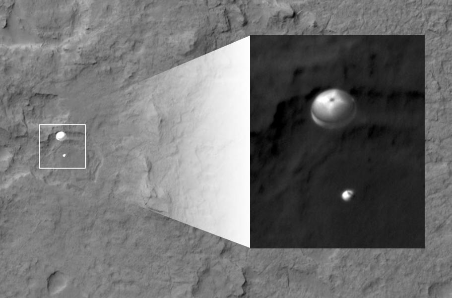
-
PIA15978:
-
Curiosity Spotted on Parachute by Orbiter
Full Resolution:
TIFF
(548.3 kB)
JPEG
(51.73 kB)
|
|
|
2012-08-06 |
Mars
|
Mars Reconnaissance Orbiter (MRO)
Mars Science Laboratory (MSL)
|
HiRISE
|
176x215x1 |
|
-
PIA15979:
-
Curiosity Spotted on Parachute by Orbiter
Full Resolution:
TIFF
(38.1 kB)
JPEG
(2.85 kB)
|
|
|
2012-08-06 |
Mars
|
Mars Reconnaissance Orbiter (MRO)
Mars Science Laboratory (MSL)
|
HiRISE
|
2047x1357x1 |
|
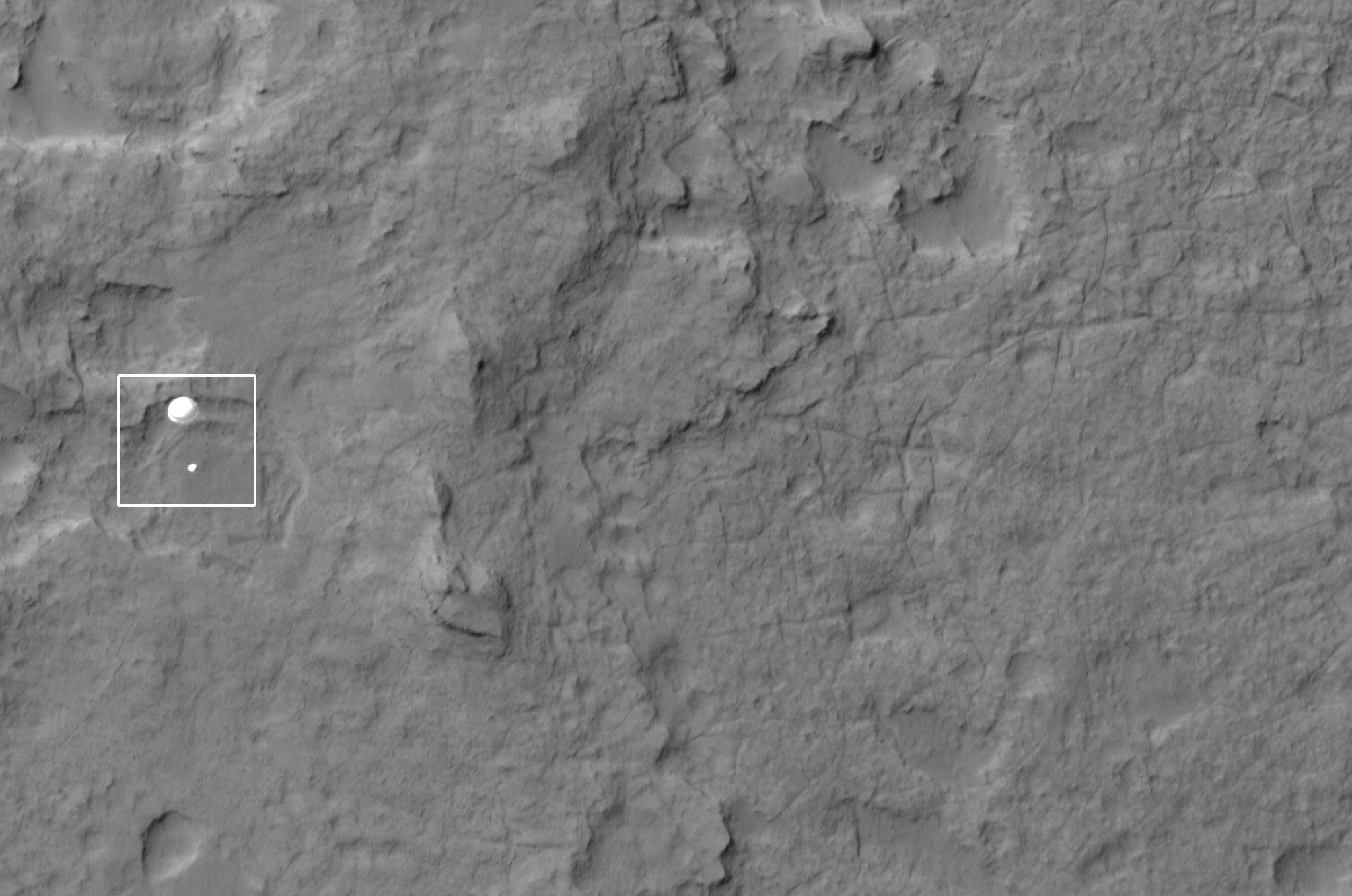
-
PIA15980:
-
Curiosity Spotted on Parachute by Orbiter
Full Resolution:
TIFF
(2.781 MB)
JPEG
(251.3 kB)
|
|
|
2012-08-06 |
Mars
|
Mars Science Laboratory (MSL)
|
|
1575x1200x3 |
|
-
PIA15981:
-
Where Curiosity Landed on Mars
Full Resolution:
TIFF
(5.672 MB)
JPEG
(148.8 kB)
|
|
|
2012-08-06 |
Mars
|
Mars Science Laboratory (MSL)
|
|
764x762x1 |
|
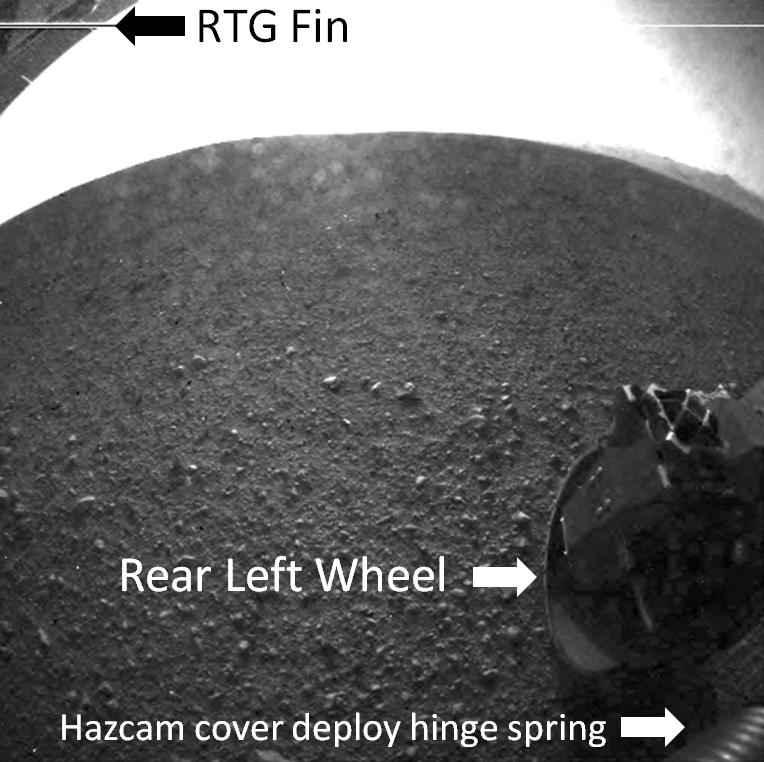
-
PIA15982:
-
Curiosity's Rear View, Annotated
Full Resolution:
TIFF
(583 kB)
JPEG
(80.5 kB)
|
|
|
2012-08-06 |
Mars
|
Mars Reconnaissance Orbiter (MRO)
Mars Science Laboratory (MSL)
|
HiRISE
|
2048x9645x1 |
|
-
PIA15983:
-
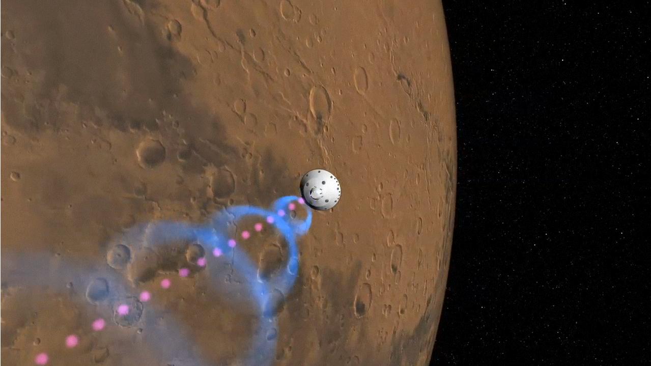
Curiosity Flying Over Mars
Full Resolution:
TIFF
(19.77 MB)
JPEG
(2.527 MB)
|
|
|
2012-08-06 |
Mars
|
Mars Science Laboratory (MSL)
|
|
1024x1024x1 |
|
-
PIA15986:
-
Behold Mount Sharp!
Full Resolution:
TIFF
(1.05 MB)
JPEG
(101.8 kB)
|
|
|
2012-08-06 |
Mars
|
Mars Science Laboratory (MSL)
|
|
1024x930x1 |
|
-
PIA15987:
-
Looking Back at the Crater Rim
Full Resolution:
TIFF
(953.5 kB)
JPEG
(65.5 kB)
|
|
|
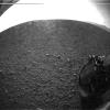
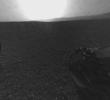
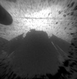
2012-08-07 |
Mars
|
Mars Science Laboratory (MSL)
|
|
717x546x3 |
|
-
PIA15988:
-
Curiosity's Heat Shield in View
Full Resolution:
TIFF
(1.175 MB)
JPEG
(17.46 kB)
|
|
|
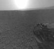
2012-08-07 |
Mars
|
Mars Science Laboratory (MSL)
|
|
717x546x3 |
|
-
PIA15989:
-
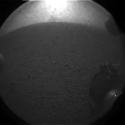
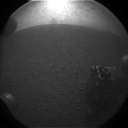
Martian Surface Below Curiosity
Full Resolution:
TIFF
(1.175 MB)
JPEG
(25.76 kB)
|
|
|
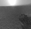
2012-08-07 |
Mars
|
Mars Science Laboratory (MSL)
|
|
717x546x3 |
|
-
PIA15990:
-
Curiosity Kicking up Dust
Full Resolution:
TIFF
(1.175 MB)
JPEG
(28.94 kB)
|
|
|
2012-08-07 |
Mars
|
Mars Science Laboratory (MSL)
|
|
717x546x3 |
|
-
PIA15991:
-
Curiosity Color Close-Up upon Landing
Full Resolution:
TIFF
(1.175 MB)
JPEG
(28.42 kB)
|
|
|
2012-08-07 |
Mars
|
Mars Science Laboratory (MSL)
|
|
717x546x3 |
|
-
PIA15992:
-
Curiosity's Wheel During Descent
Full Resolution:
TIFF
(1.175 MB)
JPEG
(22.67 kB)
|
|
|
2012-08-07 |
Mars
|
Mars Reconnaissance Orbiter (MRO)
Mars Science Laboratory (MSL)
|
HiRISE
|
931x1213x1 |
|
-
PIA15993:
-
Curiosity Sails to Mars as Heat Shield Falls Away
Full Resolution:
TIFF
(1.131 MB)
JPEG
(103.8 kB)
|
|
|
2012-08-07 |
Mars
|
Mars Science Laboratory (MSL)
|
|
1022x767x1 |
|
-
PIA15994:
-
Curiosity's Early Views of Mars
Full Resolution:
TIFF
(784.9 kB)
JPEG
(93.72 kB)
|


