My
List |
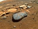
Addition Date
|
Target
|
Mission
|
Instrument
|
Size
|

|
2006-06-09 |
Mars
|
Mars Exploration Rover (MER)
|
Hazcam
|
256x256x1 |
|
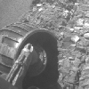
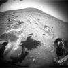
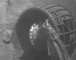
-
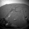
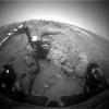
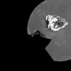
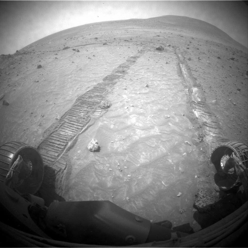
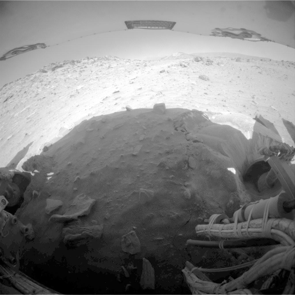
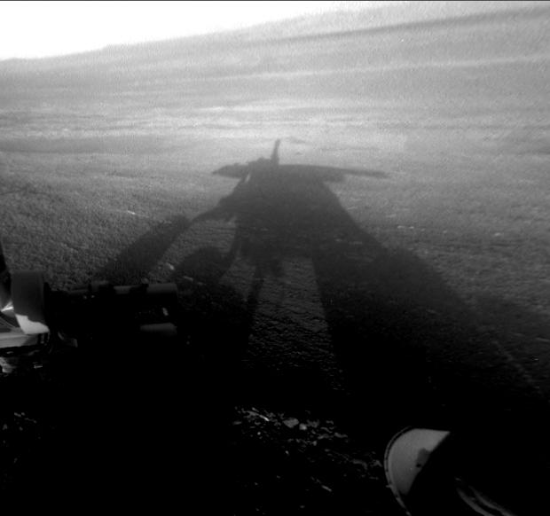
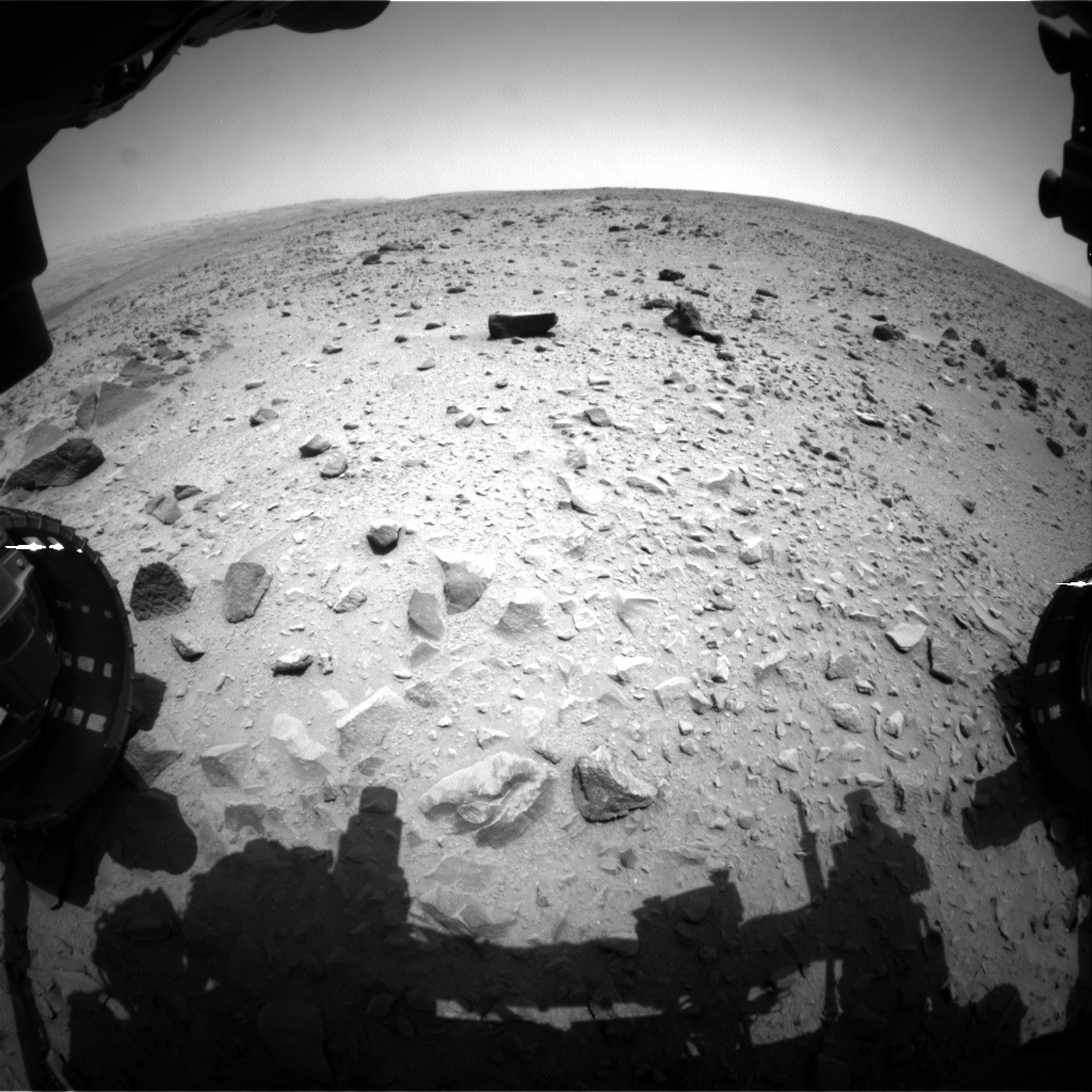
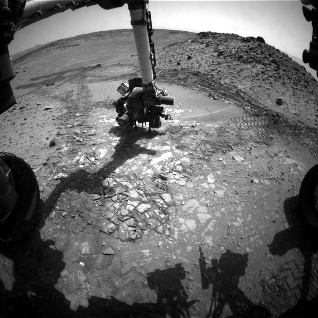
PIA08531:
-
Opportunity Rolls Free Again (Left Front Wheel)

Full Resolution:
TIFF
(65.83 kB)
JPEG
(10.84 kB)
|
|
|
2006-06-09 |
Mars
|
Mars Exploration Rover (MER)
|
Hazcam
|
512x496x1 |
|
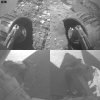
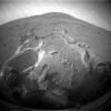
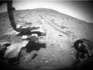
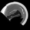
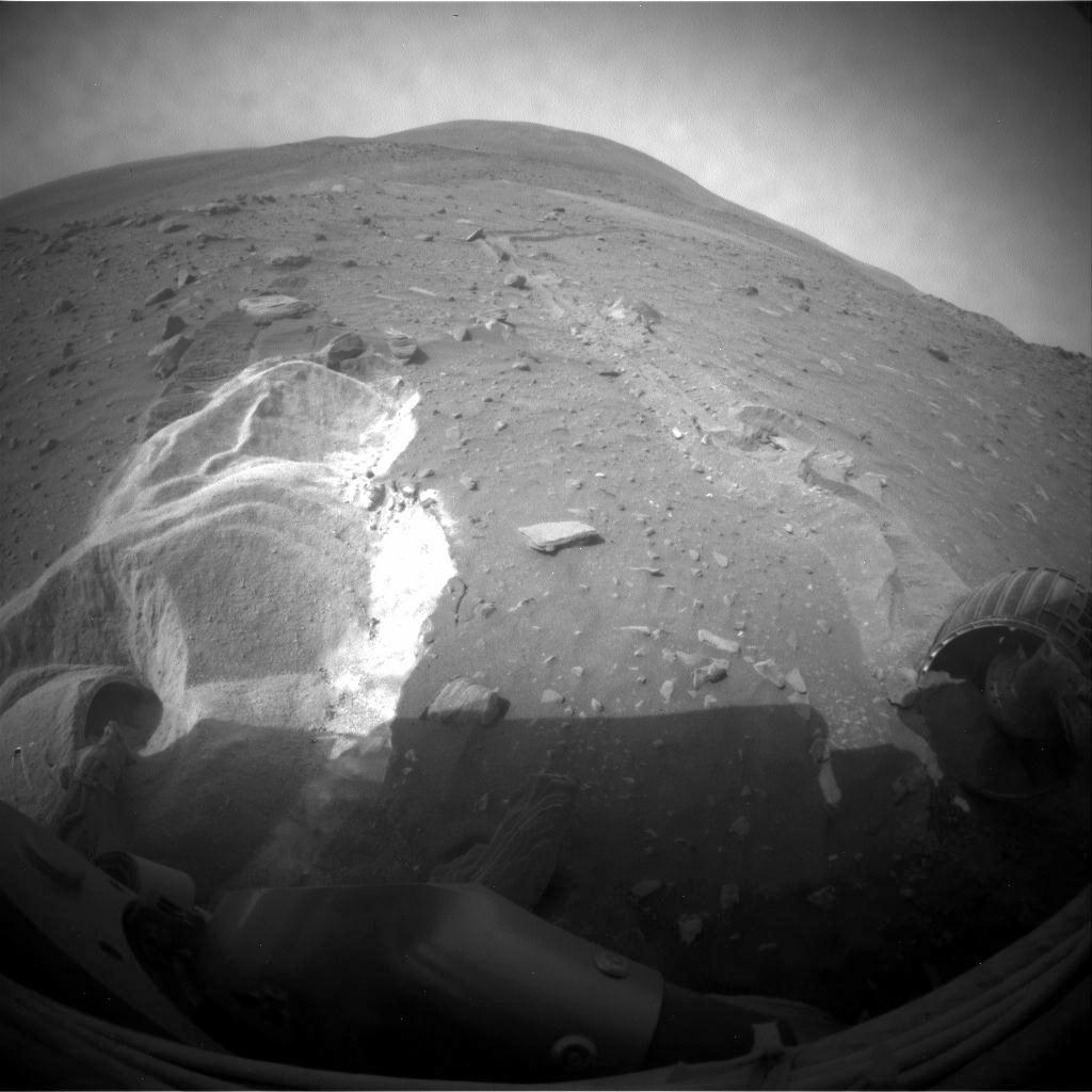
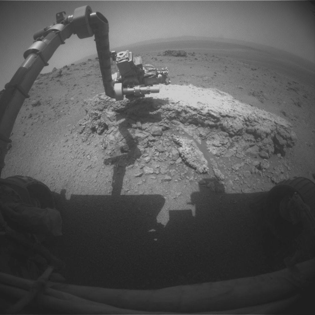
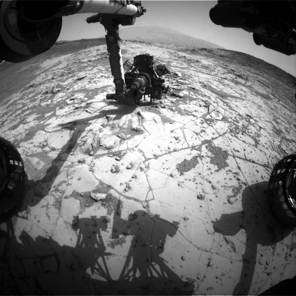
-
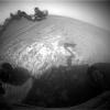
PIA08532:
-
Opportunity Rolls Free Again (Four Wheels)
Full Resolution:
TIFF
(254.4 kB)
JPEG
(29.26 kB)
|
|
|
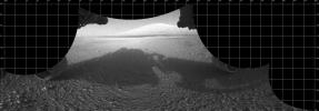
2010-02-12 |
Mars
|
Mars Exploration Rover (MER)
|
Hazcam
|
1024x1024x1 |
|
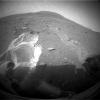
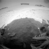
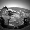
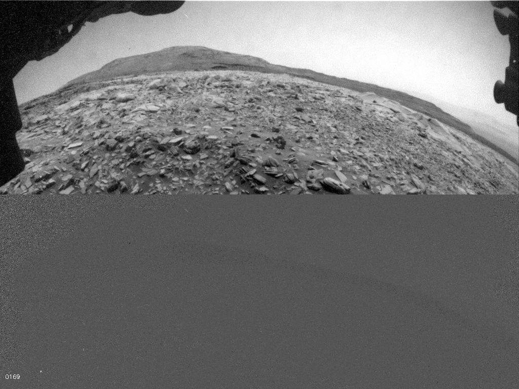
-
PIA12457:
-
Spirit's Rear View After Parking for Fourth Winter
Full Resolution:
TIFF
(1.05 MB)
JPEG
(103.2 kB)
|
|
|
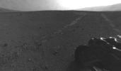
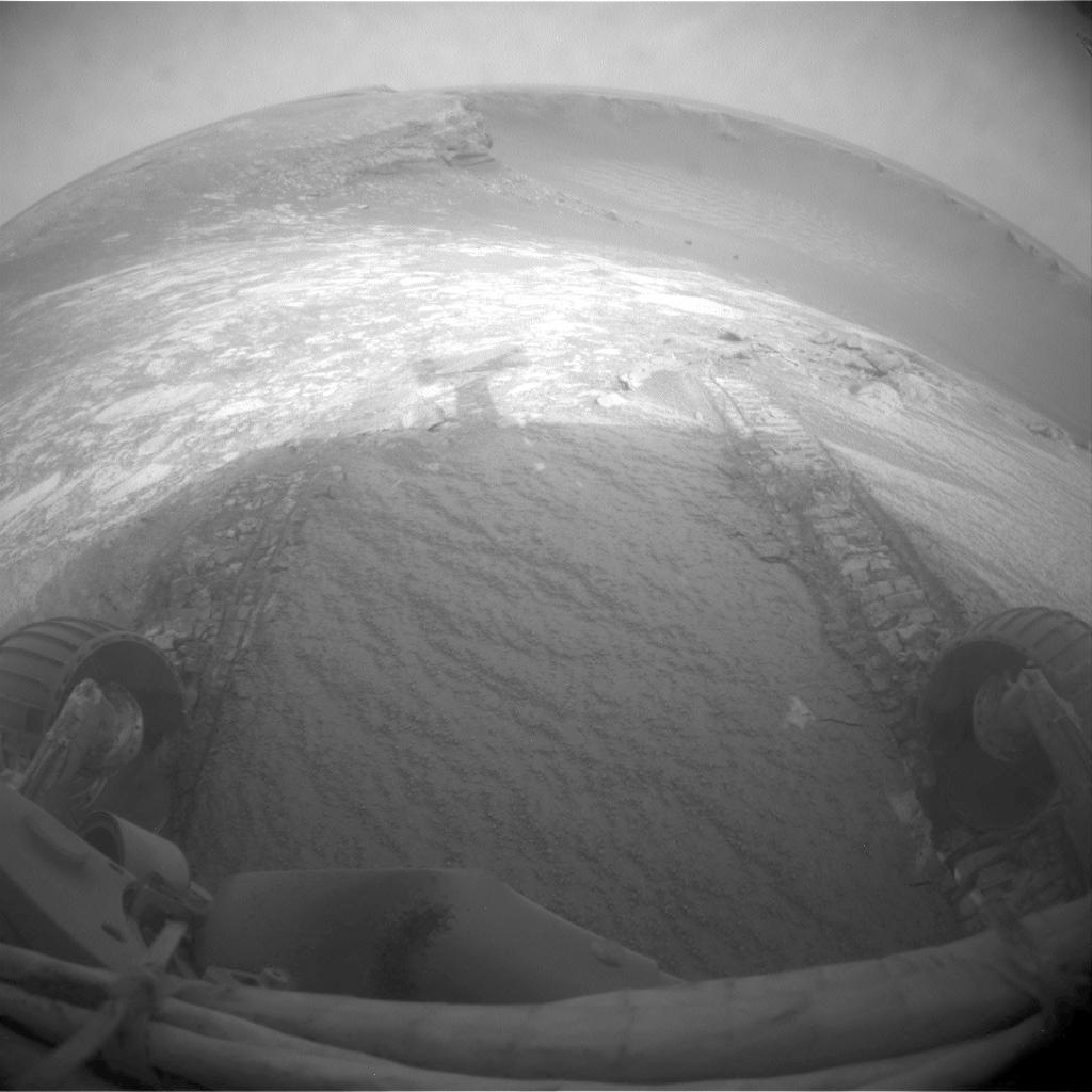
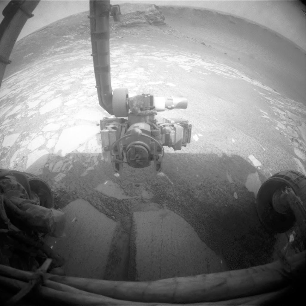
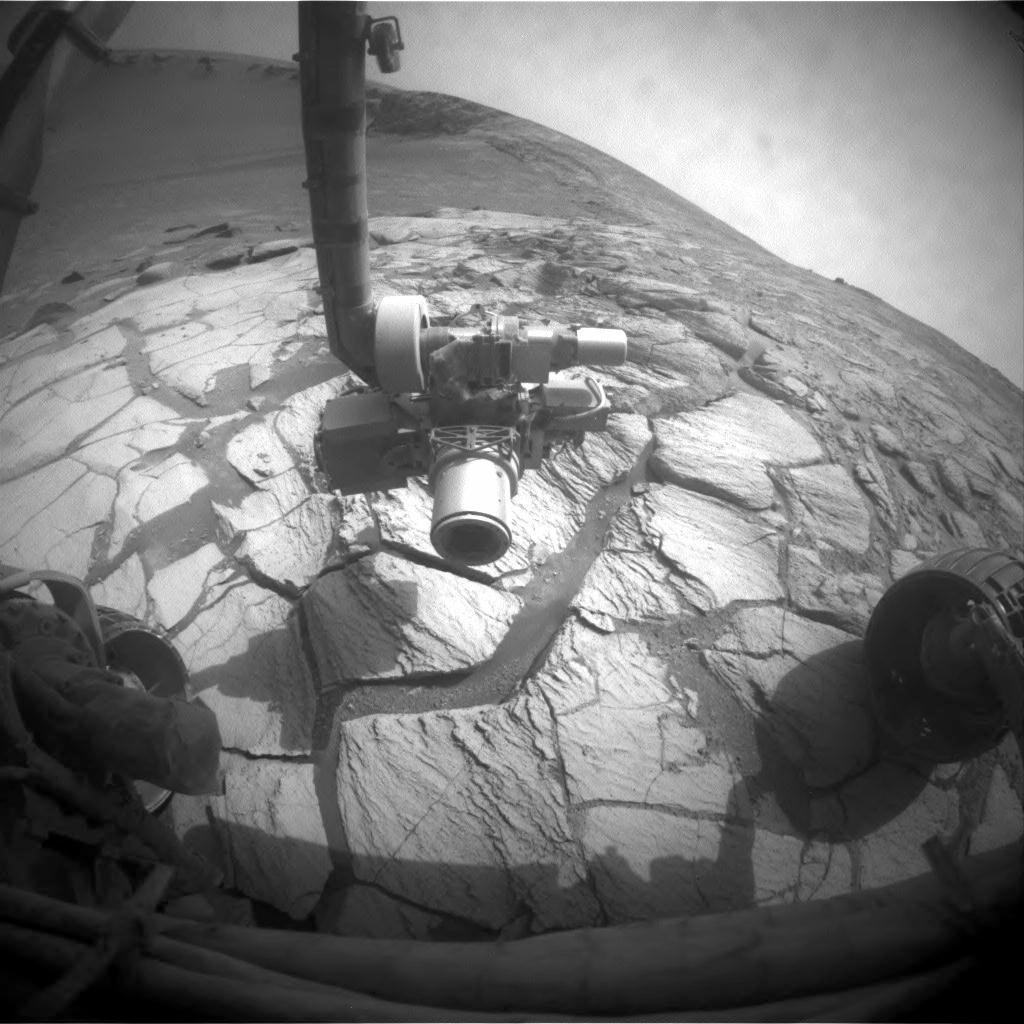
2010-01-26 |
Mars
|
Mars Exploration Rover (MER)
|
Hazcam
|
1024x512x1 |
|
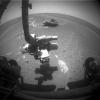
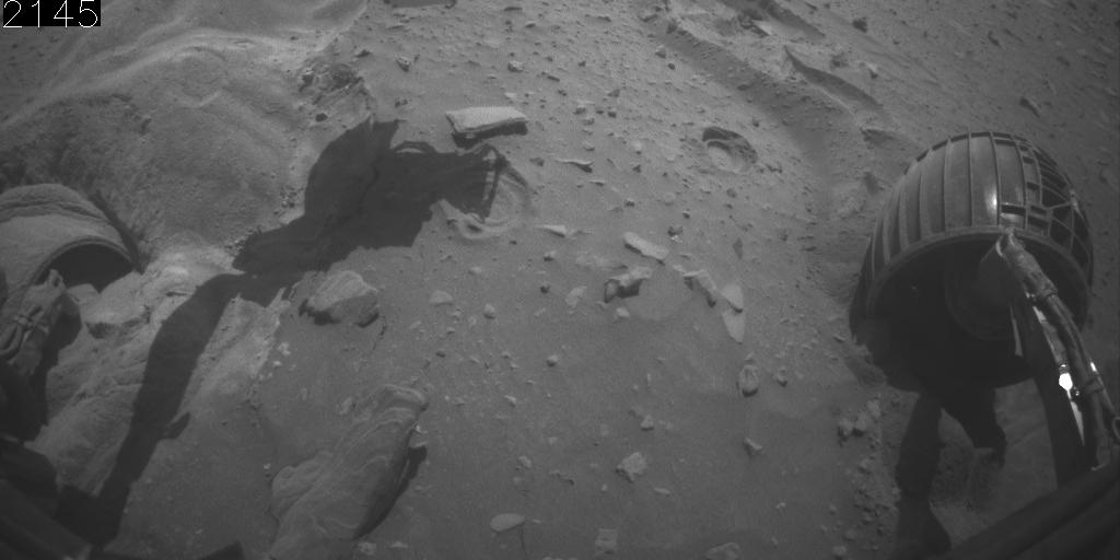
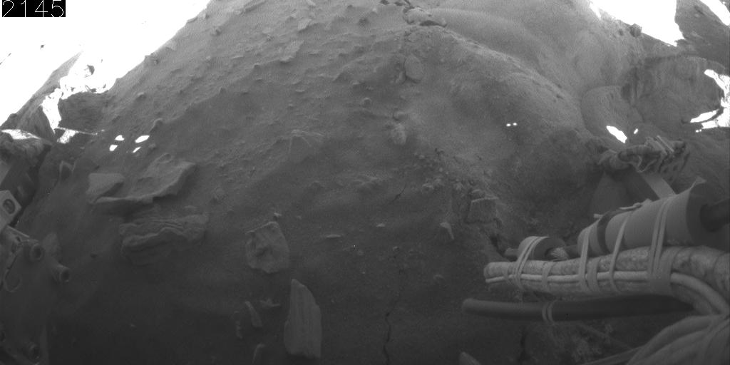
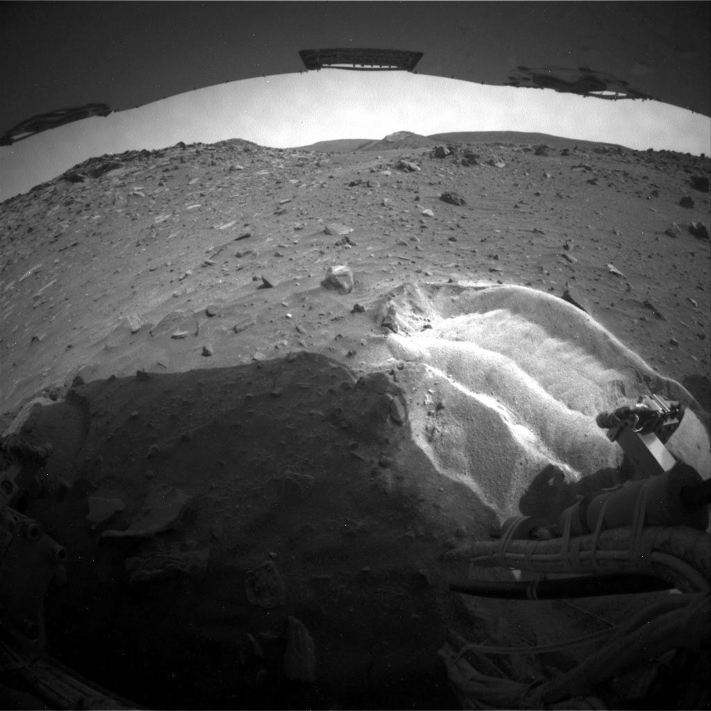
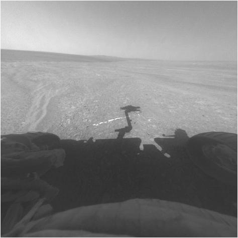
-
PIA12501:
-
Front Camera View of Backward Drive, Sols 2145-2154
Full Resolution:
TIFF
(525 kB)
JPEG
(48.84 kB)
|
|
|
2010-01-26 |
Mars
|
Mars Exploration Rover (MER)
|
Hazcam
|
1024x512x1 |
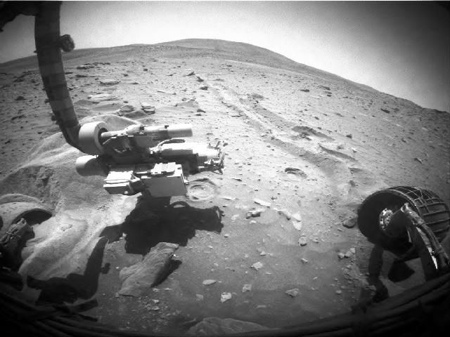
|
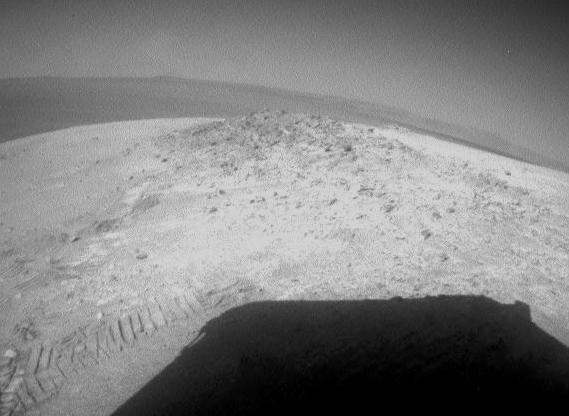
-
PIA12500:
-
Rear Camera View of Backward Drive, Sols 2145-2154
Full Resolution:
TIFF
(525 kB)
JPEG
(44.5 kB)
|
|
|
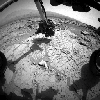
2007-08-24 |
Mars
|
Mars Exploration Rover (MER)
|
Hazcam
|
1024x1024x1 |
|
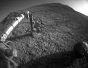
-
PIA09963:
-
After Opportunity's First Drive in Six Weeks
Full Resolution:
TIFF
(1.05 MB)
JPEG
(110.2 kB)
|
|
|
2007-09-12 |
Mars
|
Mars Exploration Rover (MER)
|
Hazcam
|
1024x1024x1 |

|
-
PIA09924:
-
Opportunity's First Dip into Victoria Crater
Full Resolution:
TIFF
(1.05 MB)
JPEG
(89.53 kB)
|
|
|
2007-09-13 |
Mars
|
Mars Exploration Rover (MER)
|
Hazcam
|
1024x1024x1 |

|
-
PIA09928:
-
Inside Victoria Crater for Extended Exploration
Full Resolution:
TIFF
(1.05 MB)
JPEG
(97.01 kB)
|
|
|
2007-09-26 |
Mars
|
Mars Exploration Rover (MER)
|
Hazcam
|
1024x1024x1 |
|
-
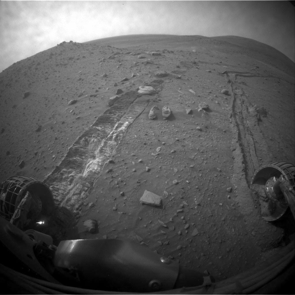
PIA10006:
-
At Bright Band Inside Victoria Crater
Full Resolution:
TIFF
(1.05 MB)
JPEG
(129.8 kB)
|
|
|
2007-10-15 |
Mars
|
Mars Exploration Rover (MER)
|
Hazcam
|
1024x1024x1 |
|
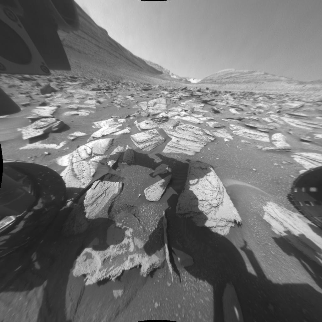
-
PIA10077:
-
Opportunity at Work Inside Victoria Crater
Full Resolution:
TIFF
(1.05 MB)
JPEG
(117.9 kB)
|
|
|
2007-10-15 |
Mars
|
Mars Exploration Rover (MER)
|
Hazcam
|
1024x1024x1 |
|
-
PIA10078:
-
Spirit Begins Third Martian Year
Full Resolution:
TIFF
(1.05 MB)
JPEG
(126.6 kB)
|
|
|
2009-02-02 |
Mars
|
Mars Exploration Rover (MER)
|
Hazcam
|
1024x1024x1 |

|
-
PIA11783:
-
Impediment to Spirit Drive on Sol 1806
Full Resolution:
TIFF
(1.05 MB)
JPEG
(118.8 kB)
|
|
|
2009-03-05 |
Mars
|
Mars Exploration Rover (MER)
|
Hazcam
|
1024x1024x1 |
|
-
PIA11823:
-
Spirit Begins Drive Around Home Plate
Full Resolution:
TIFF
(1.05 MB)
JPEG
(93.82 kB)
|
|
|
2009-03-23 |
Mars
|
Mars Exploration Rover (MER)
|
Hazcam
|
512x512x1 |
|
-
PIA11856:
-
Opportunity Examining Composition of 'Cook Islands' Outcrop
Full Resolution:
TIFF
(262.6 kB)
JPEG
(32.94 kB)
|
|
|
2009-03-30 |
Mars
|
Mars Exploration Rover (MER)
|
Hazcam
|
1024x1024x1 |
|
-
PIA11967:
-
Bright Soil Churned by Spirit's Sol 1861 Drive
Full Resolution:
TIFF
(1.05 MB)
JPEG
(85.9 kB)
|
|
|
2009-04-20 |
Mars
|
Mars Exploration Rover (MER)
|
Hazcam
|
1024x1024x1 |
|
-
PIA11990:
-
After a Spirit Drive West of 'Home Plate'
Full Resolution:
TIFF
(1.05 MB)
JPEG
(108.8 kB)
|
|
|
2009-05-01 |
Mars
|
Mars Exploration Rover (MER)
|
Hazcam
|
1024x1024x1 |
|
-
PIA12002:
-
Spirit Slipping in Soft Ground, Sol 1889
Full Resolution:
TIFF
(1.05 MB)
JPEG
(111 kB)
|
|
|
2009-05-11 |
Mars
|
Mars Exploration Rover (MER)
|
Hazcam
|
1024x1024x1 |
|
-
PIA12007:
-
Spirit's Wheels Digging into Soft Ground, Sol 1899
Full Resolution:
TIFF
(1.05 MB)
JPEG
(98.56 kB)
|
|
|
2009-07-31 |
Mars
|
Mars Exploration Rover (MER)
|
Hazcam
|
1024x1024x1 |
|
-
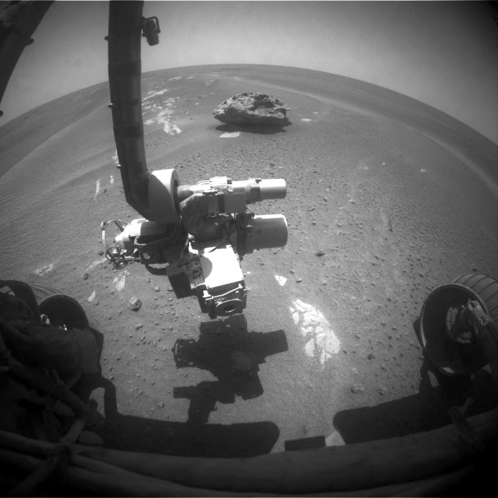
PIA12160:
-
Block Island in Sight
Full Resolution:
TIFF
(1.05 MB)
JPEG
(102.7 kB)
|
|
|
2009-07-31 |
Mars
|
Mars Exploration Rover (MER)
|
Hazcam
|
1024x1024x1 |

|
-
PIA12161:
-
Block Island Close-up
Full Resolution:
TIFF
(1.05 MB)
JPEG
(137.9 kB)
|
|
|
2009-10-19 |
Mars
|
Mars Exploration Rover (MER)
|
Hazcam
|
1024x1024x1 |
|
-
PIA12312:
-
Spirit's Robotic Stretch on Sol 2052
Full Resolution:
TIFF
(1.05 MB)
JPEG
(118.4 kB)
|
|
|
2009-11-12 |
Mars
|
Mars Exploration Rover (MER)
|
Hazcam
|
880x654x1 |
|
-
PIA12354:
-
Site of Intense Investigation by Spirit
Full Resolution:
TIFF
(576.3 kB)
JPEG
(51.05 kB)
|
|
|
2009-11-12 |
Mars
|
Mars Exploration Rover (MER)
|
Hazcam
|
1024x1024x1 |

|
-
PIA12355:
-
Spirit's Wheels Digging into Soft Ground, Sol 1899
Full Resolution:
TIFF
(1.05 MB)
JPEG
(98.63 kB)
|
|
|
2009-11-12 |
Mars
|
Mars Exploration Rover (MER)
|
Hazcam
|
1024x1024x1 |

|
-
PIA12356:
-
Rear View Southward from 'Troy'
Full Resolution:
TIFF
(1.05 MB)
JPEG
(112.2 kB)
|
|
|
2009-11-19 |
Mars
|
Mars Exploration Rover (MER)
|
Hazcam
|
1024x1024x1 |
|
-
PIA12471:
-
Movement from Spirit's Second Extrication Drive
Full Resolution:
TIFF
(1.05 MB)
JPEG
(54.75 kB)
|
|
|
2009-11-23 |
Mars
|
Mars Exploration Rover (MER)
|
Hazcam
|
1024x1024x1 |
|
-
PIA12378:
-
Movement from Spirit's Third Extrication Drive
Full Resolution:
TIFF
(1.05 MB)
JPEG
(153.7 kB)
|
|
|
2009-12-01 |
Mars
|
Mars Exploration Rover (MER)
|
Hazcam
|
1024x1024x1 |
|
-
PIA12477:
-
Little Movement in Spirit's Sol 2099 Drive
Full Resolution:
TIFF
(1.05 MB)
JPEG
(158.5 kB)
|
|
|
2009-12-15 |
Mars
|
Mars Exploration Rover (MER)
|
Hazcam
|
254x200x1 |
|
-
PIA12398:
-
Slight Movement by Spirit's Right-Front Wheel, Sol 2113
Full Resolution:
TIFF
(51.09 kB)
JPEG
(6.103 kB)
|
|
|
2009-12-21 |
Mars
|
Mars Exploration Rover (MER)
|
Hazcam
|
640x480x1 |
|
-
PIA12482:
-
Rotations by Spirit's Right-Front Wheel, Sol 2117
Full Resolution:
TIFF
(307.8 kB)
JPEG
(49.76 kB)
|
|
|
2010-01-21 |
Mars
|
Mars Exploration Rover (MER)
|
Hazcam
|
1024x1024x1 |
|
-
PIA12497:
-
Movement During Backward Drive, Sols 2147
Full Resolution:
TIFF
(1.05 MB)
JPEG
(95.36 kB)
|
|
|
2010-12-28 |
Mars
|
Mars Exploration Rover (MER)
|
Hazcam
|
1004x1024x3 |
|
-
PIA13710:
-
Fisheye Stereo from Edge of 'Santa Maria' Crater, Sol 2459
Full Resolution:
TIFF
(3.089 MB)
JPEG
(111.5 kB)
|
|
|
2011-09-01 |
Mars
|
Mars Exploration Rover (MER)
|
Hazcam
|
1024x1024x1 |

|
-
PIA14749:
-
Opportunity at Work Examining 'Tisdale 2,' Sol 2695
Full Resolution:
TIFF
(1.05 MB)
JPEG
(100.3 kB)
|
|
|
2011-09-14 |
Mars
|
Mars Exploration Rover (MER)
|
Hazcam
|
1024x933x1 |
|
-
PIA14751:
-
Shadow Across 'Chester Lake' on Endeavour Rim, Sol 2710
Full Resolution:
TIFF
(956.6 kB)
JPEG
(131.7 kB)
|
|
|
2011-12-07 |
Mars
|
Mars Exploration Rover (MER)
|
Hazcam
|
474x474x1 |

|
-
PIA15037:
-
Opportunity's Approach to 'Homestake'
Full Resolution:
TIFF
(225.1 kB)
JPEG
(18.68 kB)
|
|
|
2012-05-09 |
Mars
|
Mars Exploration Rover (MER)
|
Hazcam
|
569x416x1 |
|
-
PIA15681:
-
Looking Back at Greeley Haven After Opportunity's First Drive of 2012
Full Resolution:
TIFF
(237.2 kB)
JPEG
(31.55 kB)
|
|
|
2012-09-07 |
Mars
|
Mars Exploration Rover (MER)
|
Hazcam
|
620x582x1 |
|
-
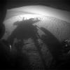
PIA16120:
-
Shadow Self-Portrait by Opportunity at Endeavour Crater
Full Resolution:
TIFF
(361.4 kB)
JPEG
(27.52 kB)
|
|
|
2012-12-19 |
Mars
|
Mars Exploration Rover (MER)
|
Hazcam
|
1024x1024x1 |
|
-
PIA16555:
-
Opportunity Investigation Target "Onaping"
Full Resolution:
TIFF
(1.05 MB)
JPEG
(117.5 kB)
|
|
|
2013-05-10 |
Mars
|
Mars Exploration Rover (MER)
|
Hazcam
|
2048x1024x1 |

|
-
PIA16814:
-
Sky Gets Dustier Between Opportunity's Sols 3296 and 3301
Full Resolution:
TIFF
(2.099 MB)
JPEG
(128.4 kB)
|
|
|
2013-05-16 |
Mars
|
Mars Exploration Rover (MER)
|
Hazcam
|
1024x1024x1 |

|
-
PIA16933:
-
View Back at Record-Setting Drive by Opportunity
Full Resolution:
TIFF
(1.05 MB)
JPEG
(67.02 kB)
|
|
|
2013-07-02 |
Mars
|
Mars Exploration Rover (MER)
|
Hazcam
|
1024x774x1 |

|
-
PIA17271:
-
Opportunity's View in 'Botany Bay' Toward 'Solander Point'
Full Resolution:
TIFF
(793.6 kB)
JPEG
(81.87 kB)
|
|
|
2014-03-27 |
Mars
|
Mars Exploration Rover (MER)
|
Hazcam
|
1024x1024x1 |
|
-
PIA17956:
-
Shadow Portrait of NASA Rover Opportunity on Martian Slope
Full Resolution:
TIFF
(1.05 MB)
JPEG
(98.26 kB)
|
|
|
2014-12-11 |
Mars
|
Mars Exploration Rover (MER)
|
Hazcam
|
1024x1024x1 |
|
-
PIA19082:
-
Opportunity Pausing at a Bright Outcrop on Endeavour Rim, Sol 3854
Full Resolution:
TIFF
(1.05 MB)
JPEG
(113 kB)
|
|
|
2015-03-05 |
Mars
|
Mars Exploration Rover (MER)
|
Hazcam
|
1024x742x1 |

|
-
PIA19146:
-
Blocky Rock is Exam Target for Mars Rover Opportunity
Full Resolution:
TIFF
(760.8 kB)
JPEG
(95.91 kB)
|
|
|
2015-03-27 |
Mars
|
Mars Exploration Rover (MER)
|
Hazcam
|
1024x736x1 |

|
-
PIA19160:
-
Mars Rover Opportunity Examines Bright 'Athens'
Full Resolution:
TIFF
(754.6 kB)
JPEG
(104.4 kB)
|
|
|
2016-01-25 |
Mars
|
Mars Exploration Rover (MER)
|
Hazcam
|
1024x792x1 |
|
-
PIA20285:
-
Mars Rover Opportunity at Rock Abrasion Target 'Potts'
Full Resolution:
TIFF
(796.2 kB)
JPEG
(114.9 kB)
|
|
|
2016-03-31 |
Mars
|
Mars Exploration Rover (MER)
|
Hazcam
|
1290x1285x1 |
|
-
PIA20328:
-
Opportunity's Shadow and Tracks on Martian Slope
Full Resolution:
TIFF
(836 kB)
JPEG
(81.32 kB)
|
|
|
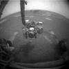
2021-02-18 |
Mars
|
Mars 2020 Rover
|
Hazard Avoidance Camera (M2020)
|
320x240x1 |
|
-
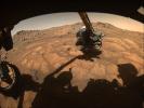
PIA24268:
-
Perseverance Rover's First Image from Mars
Full Resolution:
TIFF
(68.62 kB)
JPEG
(5.58 kB)
|
|
|
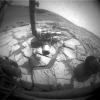
2021-02-19 |
Mars
|
Mars 2020 Rover
|
Hazard Avoidance Camera (M2020)
|
1280x960x3 |
|
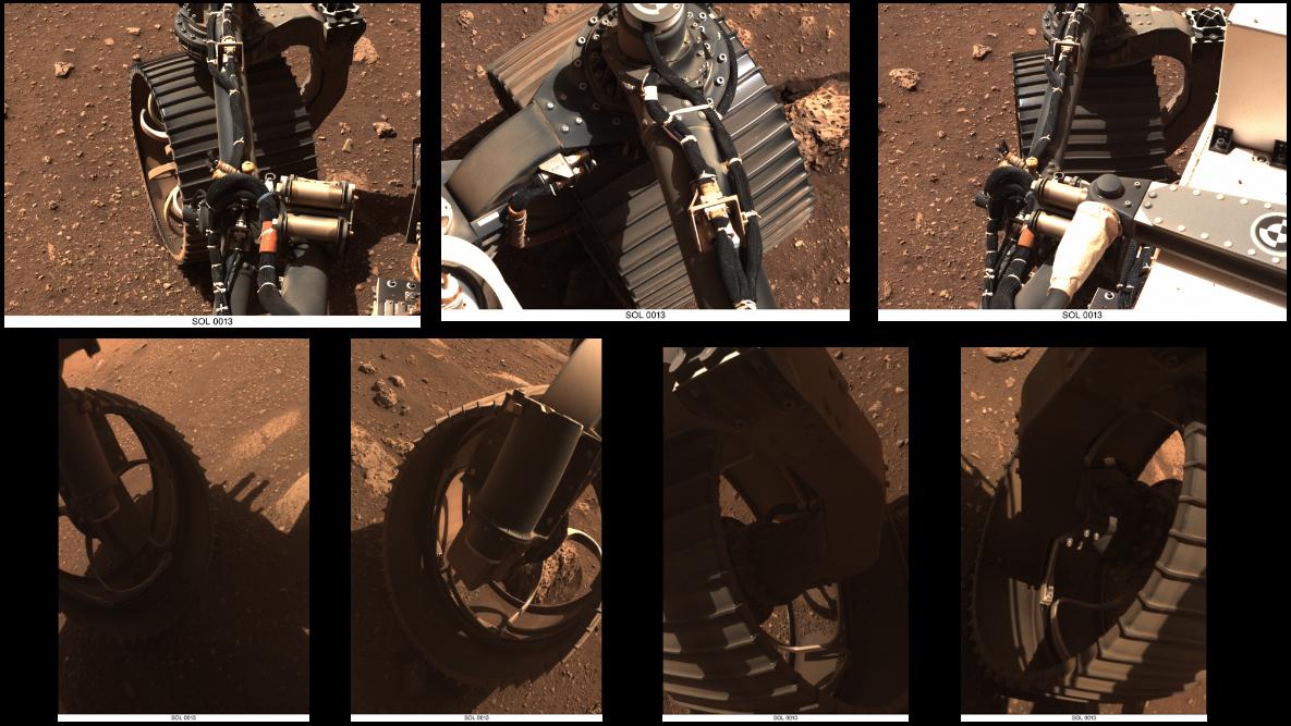
-
PIA24429:
-
Perseverance's Big Wheel
Full Resolution:
TIFF
(3.568 MB)
JPEG
(162.6 kB)
|
|
|
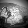
2021-02-19 |
Mars
|
Mars 2020 Rover
|
Hazard Avoidance Camera (M2020)
|
1280x960x3 |
|
-
PIA24430:
-
Perseverance's First Full-Color Look at Mars
Full Resolution:
TIFF
(2.94 MB)
JPEG
(127.6 kB)
|
|
|
2021-02-24 |
Mars
|
Mars 2020 Rover
|
Hazard Avoidance Camera (M2020)
|
3222x2002x1 |
|
-
PIA24425:
-
Black and White: Smoke Plume from Perseverance's Descent Stage
Full Resolution:
TIFF
(2.836 MB)
JPEG
(252.7 kB)
|
|
|
2021-03-05 |
Mars
|
Mars 2020 Rover
|
Hazard Avoidance Camera (M2020)
|
1280x960x3 |
|
-
PIA24482:
-
Perseverance Hazcam First Drive
Full Resolution:
TIFF
(3.161 MB)
JPEG
(175.2 kB)
|
|
|
2021-04-05 |
Mars
|
Mars 2020 Rover
|
Hazard Avoidance Camera (M2020)
|
1296x968x3 |
|
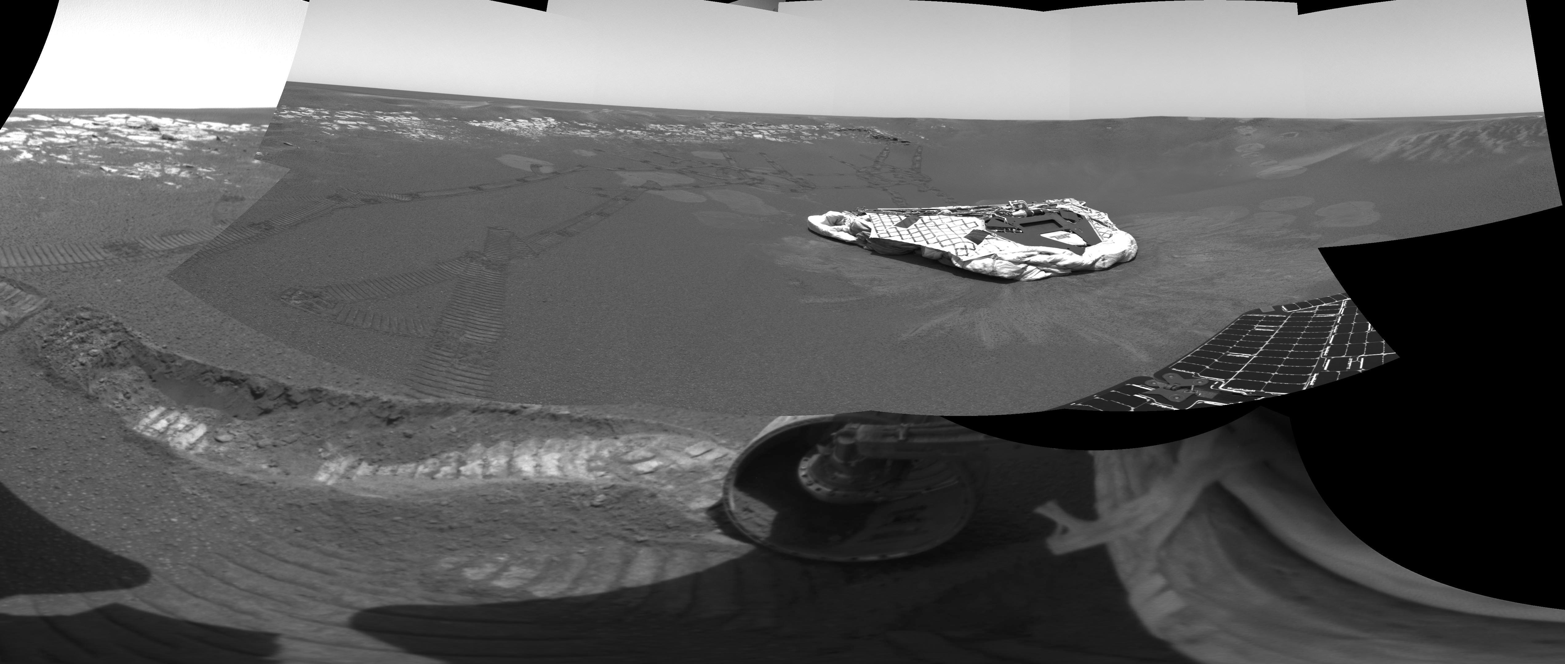
-
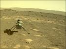
PIA24541:
-
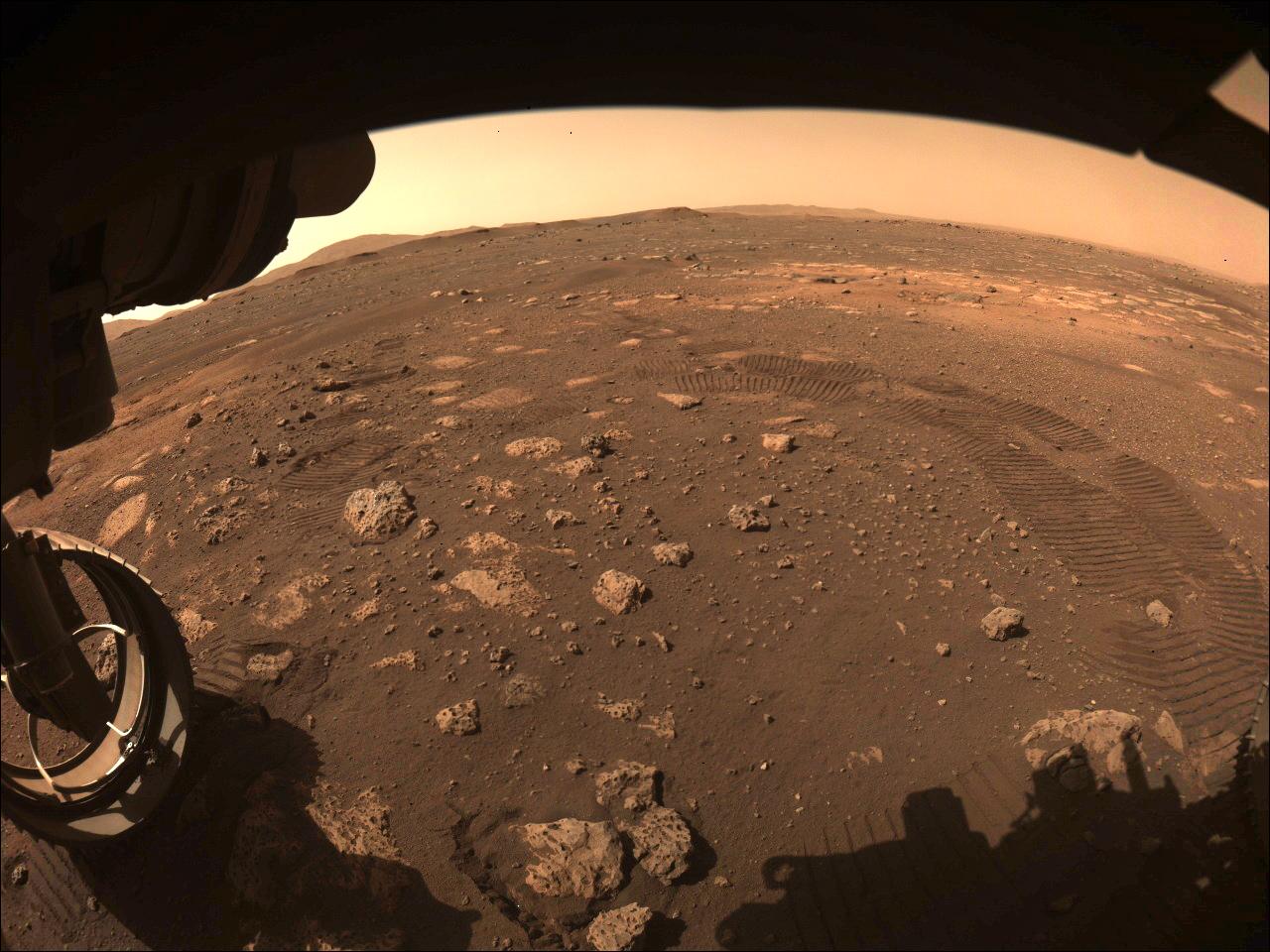
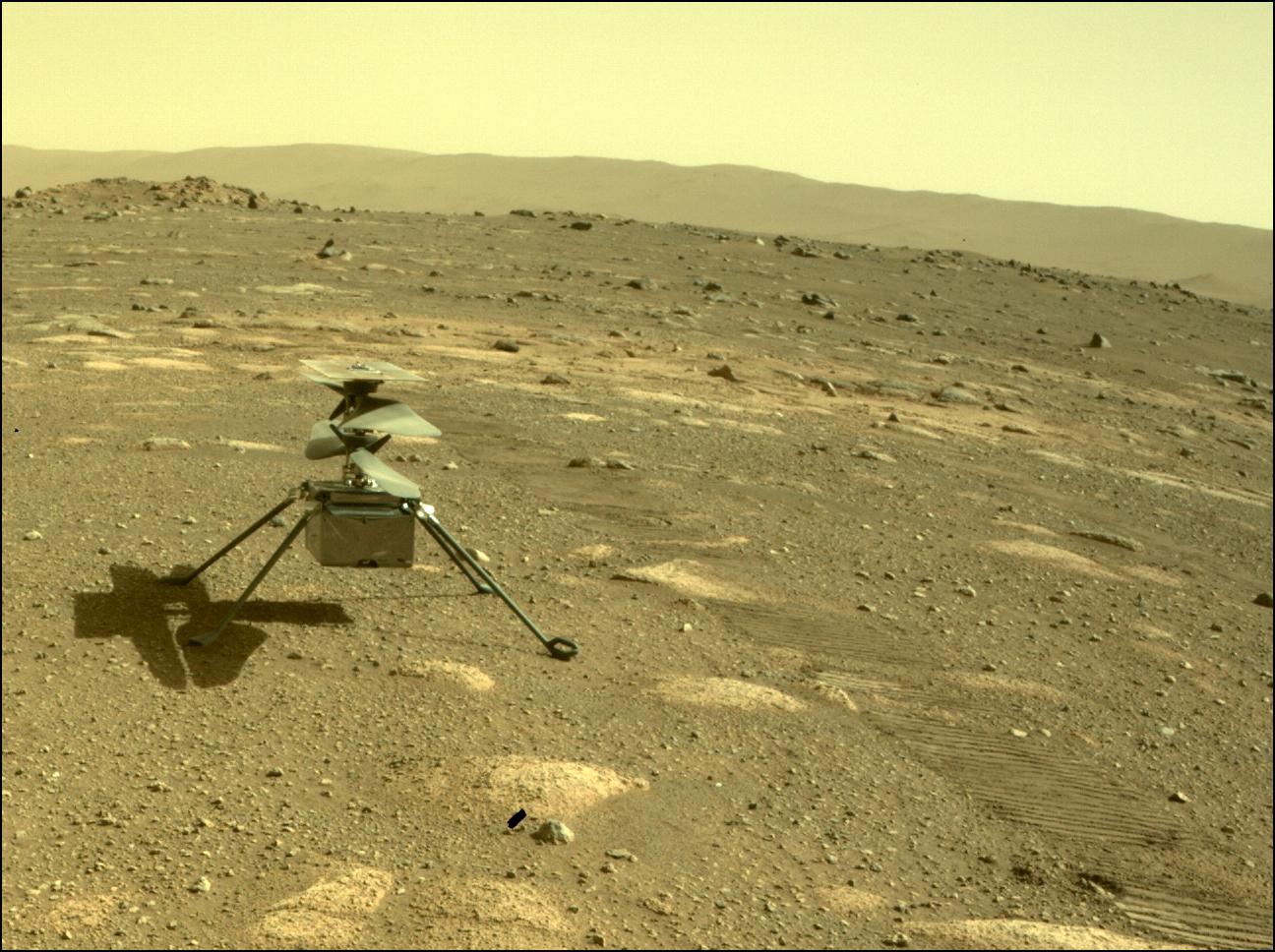
Ingenuity Deployed on Mars
Full Resolution:
TIFF
(3.765 MB)
JPEG
(203.8 kB)
|
|
|
2021-04-30 |
Mars
|
Mars 2020 Rover
|
Hazard Avoidance Camera (M2020)
|
1280x960x3 |
|
-
PIA24642:
-
Perseverance's Hazard Cameras View Ingenuity's Fourth Flight
Full Resolution:
TIFF
(3.341 MB)
JPEG
(152.7 kB)
|
|
|
2021-07-20 |
Mars
|
Mars 2020 Rover
|
Hazard Avoidance Camera (M2020)
|
1280x960x3 |
|
-
PIA24748:
-
Perseverance's Arm Over Paver Rocks
Full Resolution:
TIFF
(3.417 MB)
JPEG
(147.8 kB)
|
|
|
2021-08-06 |
Mars
|
Mars 2020 Rover
|
Hazard Avoidance Camera (M2020)
|
1297x789x3 |
|
-
PIA24795:
-
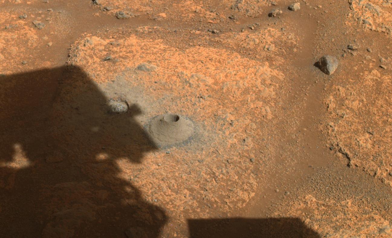
Perseverance's Drill Hole for First Sample Collection Attempt
Full Resolution:
TIFF
(3.071 MB)
JPEG
(164.5 kB)
|
|
|
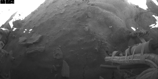
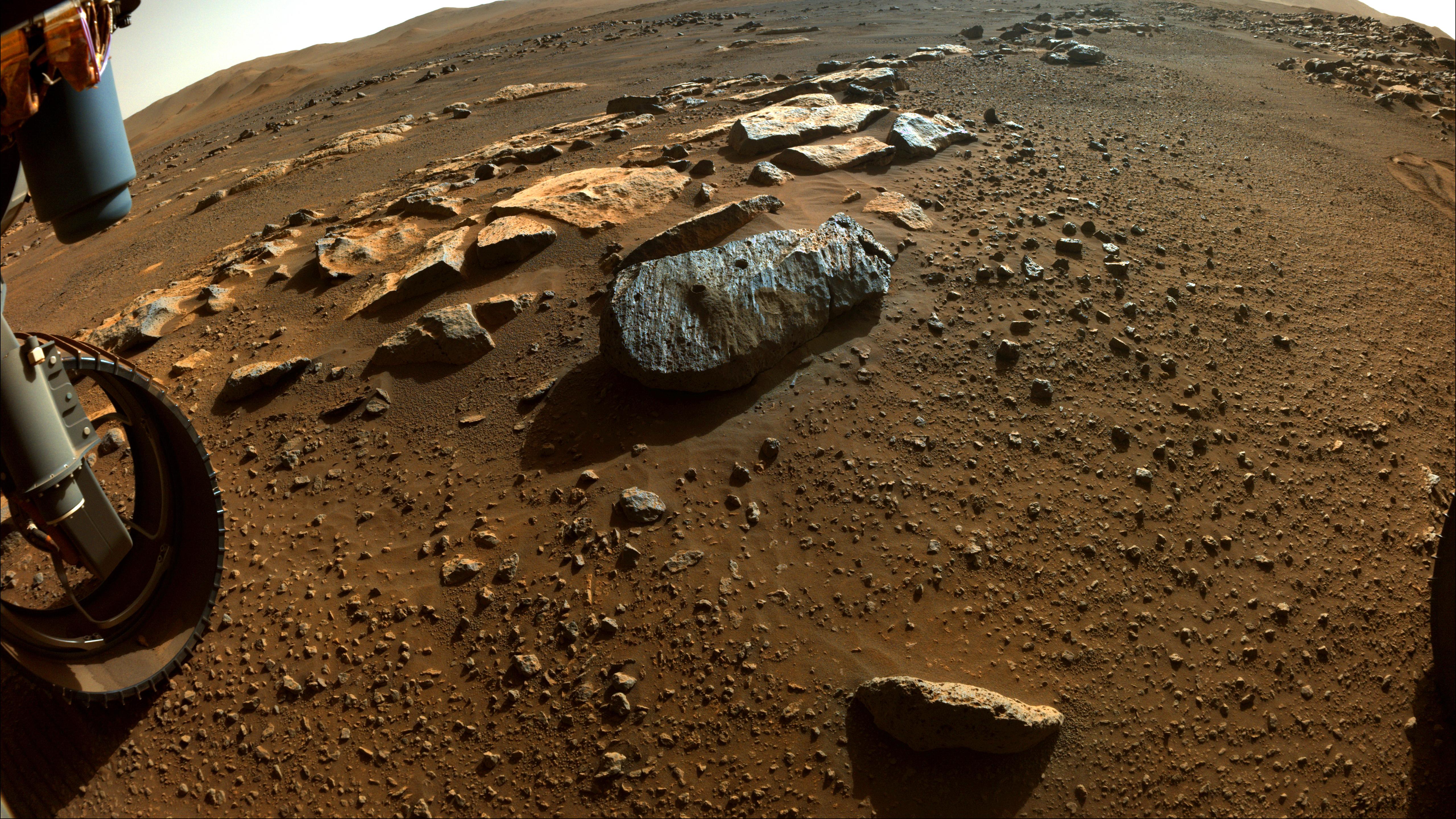
2021-08-26 |
Mars
|
Mars 2020 Rover
|
Hazard Avoidance Camera (M2020)
|
5120x2880x3 |
|
-
PIA24767:
-
Perseverance Team Selects a New Rock to Abrade
Full Resolution:
TIFF
(44.15 MB)
JPEG
(2.369 MB)
|
|
|
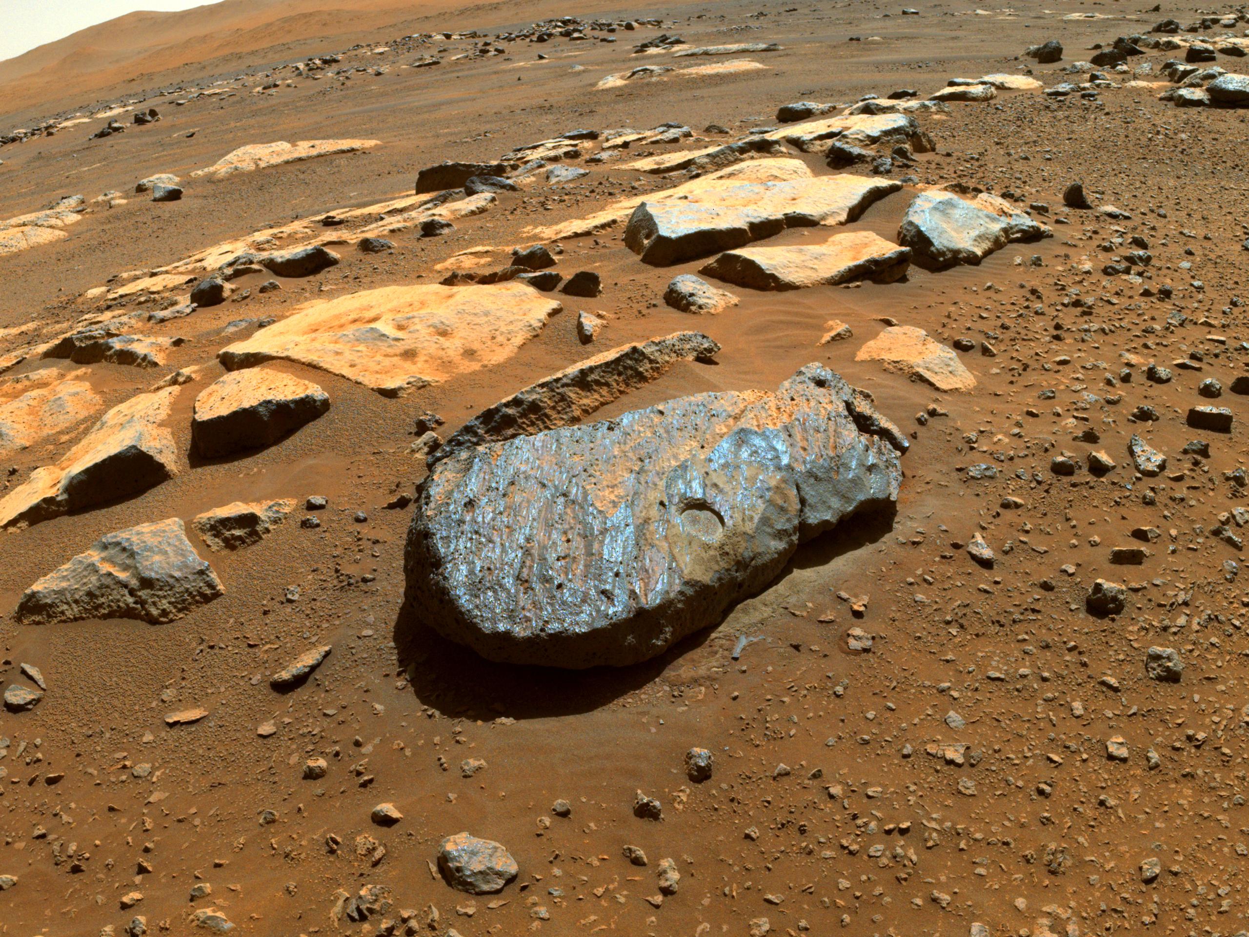
2021-09-10 |
Mars
|
Mars 2020 Rover
|
Hazard Avoidance Camera (M2020)
|
1280x960x3 |
|
-
PIA24831:
-
Perseverance Gets to Know Rochette
Full Resolution:
TIFF
(3.549 MB)
JPEG
(168.1 kB)
|
|
|
2022-01-07 |
Mars
|
Mars 2020 Rover
|
Hazard Avoidance Camera (M2020)
|
744x432x3 |

|
-
PIA25067:
-
Perseverance's Bit Carousel
Full Resolution:
TIFF
(956.8 kB)
JPEG
(44.76 kB)
|
|
|
2022-01-21 |
Mars
|
Mars 2020 Rover
|
Hazard Avoidance Camera (M2020)
|
740x480x3 |
|
-
PIA25070:
-
Before and After Perseverance Sample Tube Shake
Full Resolution:
TIFF
(1.035 MB)
JPEG
(75.53 kB)
|
|
|
2022-06-29 |
Mars
|
Mars 2020 Rover
|
Hazard Avoidance Camera (M2020)
|
5120x2880x3 |
|
-
PIA25325:
-
Enchanted View of Jezero Rocks
Full Resolution:
TIFF
(42.08 MB)
JPEG
(1.897 MB)
|
|
|
2022-11-17 |
Mars
|
Mars 2020 Rover
|
Hazard Avoidance Camera (M2020)
|
5120x2880x3 |
|
-
PIA25339:
-
Jezero Crater's Yori Pass
Full Resolution:
TIFF
(44.26 MB)
JPEG
(2.148 MB)
|
|
|
2022-12-15 |
Mars
|
Mars 2020 Rover
|
Hazard Avoidance Camera (M2020)
|
1401x1648x3 |
|
-
PIA25654:
-
NASA's Perseverance Rover Collects Regolith
Full Resolution:
TIFF
(5.951 MB)
JPEG
(427.9 kB)
|
|
|
2022-12-15 |
Mars
|
Mars 2020 Rover
|
Hazard Avoidance Camera (M2020)
|
5120x2880x3 |
|
-
PIA25655:
-
Perseverance Views Bettys Rock
Full Resolution:
TIFF
(41.58 MB)
JPEG
(1.612 MB)
|
|
|
2023-02-17 |
Mars
|
Mars 2020 Rover
|
Hazard Avoidance Camera (M2020)
|
1280x960x3 |
|
-
PIA25799:
-
Front Left Hazcam – Two Year Movie
Full Resolution:
TIFF
(3.393 MB)
JPEG
(143.6 kB)
|
|
|
2023-03-31 |
Mars
|
Mars 2020 Rover
|
Hazard Avoidance Camera (M2020)
|
5120x2880x3 |
|
-
PIA25688:
-
Perseverance Samples 'Berea'
Full Resolution:
TIFF
(44.26 MB)
JPEG
(1.798 MB)
|
|
|
2023-03-31 |
Mars
|
Mars 2020 Rover
|
Hazard Avoidance Camera (M2020)
|
1280x960x3 |

|
-
PIA25689:
-
Perseverance Cores 'Berea'
Full Resolution:
TIFF
(3.688 MB)
JPEG
(223.2 kB)
|
|
|
2024-04-03 |
Mars
|
Mars 2020 Rover
|
Hazard Avoidance Camera (M2020)
|
838x517x3 |
|
-
PIA26314:
-
Perseverance Cores 'Bunsen Peak'
Full Resolution:
TIFF
(825.3 kB)
JPEG
(51.66 kB)
|
|
|
2024-06-26 |
Mars
|
Mars 2020 Rover
|
Hazard Avoidance Camera (M2020)
|
1280x960x3 |
|
-
PIA26320:
-
Perseverance's Abrasion Patch at 'Walhalla Glades'
Full Resolution:
TIFF
(2.686 MB)
JPEG
(204.5 kB)
|
|
|
2025-04-10 |
Mars
|
Mars 2020 Rover
|
Hazard Avoidance Camera (M2020)
|
978x733x3 |
|
-
PIA26571:
-
Perseverance Cores 'Main River'
Full Resolution:
TIFF
(1.993 MB)
JPEG
(103 kB)
|
|
|
2025-05-14 |
Mars
|
Mars 2020 Rover
|
Hazard Avoidance Camera (M2020)
|
3061x1437x3 |

|
-
PIA26572:
-
Dust Devil Whirls by Perseverance Coring Operation
Full Resolution:
TIFF
(11.71 MB)
JPEG
(414.2 kB)
|
|
|
2025-06-25 |
Mars
|
Mars 2020 Rover
|
Hazard Avoidance Camera (M2020)
|
1296x976x3 |

|
-
PIA26575:
-
Perseverance Drills a Rock on Jezero Crater Rim
Full Resolution:
TIFF
(3.796 MB)
JPEG
(186 kB)
|
|
|
2021-03-05 |
Mars
|
Mars 2020 Rover
|
Hazard Avoidance Camera (M2020)
Navigation Camera (M2020)
|
1185x667x3 |
|
-
PIA24489:
-
Multiple Views of Perseverance's Wheels Wiggling
Full Resolution:
TIFF
(1.809 MB)
JPEG
(130.1 kB)
|
|
|
2021-09-10 |
Mars
|
Mars 2020 Rover
|
Hazard Avoidance Camera (M2020)
Navigation Camera (M2020)
|
5120x2880x3 |
|
-
PIA24840:
-
Rochette After Perseverance Sampling
Full Resolution:
TIFF
(44.26 MB)
JPEG
(2.565 MB)
|
|
|
2021-09-10 |
Mars
|
Mars 2020 Rover
|
Hazard Avoidance Camera (M2020)
Navigation Camera (M2020)
|
2560x1920x3 |
|
-
PIA24839:
-
Abrasion Patch on Rochette
Full Resolution:
TIFF
(14.75 MB)
JPEG
(920.4 kB)
|
|
|
2012-08-17 |
Mars
|
Mars Science Laboratory (MSL)
|
Hazcam (MSL)
|
2370x825x1 |
|
-
PIA16060:
-
Curiosity's View From Below
Full Resolution:
TIFF
(1.958 MB)
JPEG
(199.9 kB)
|
|
|
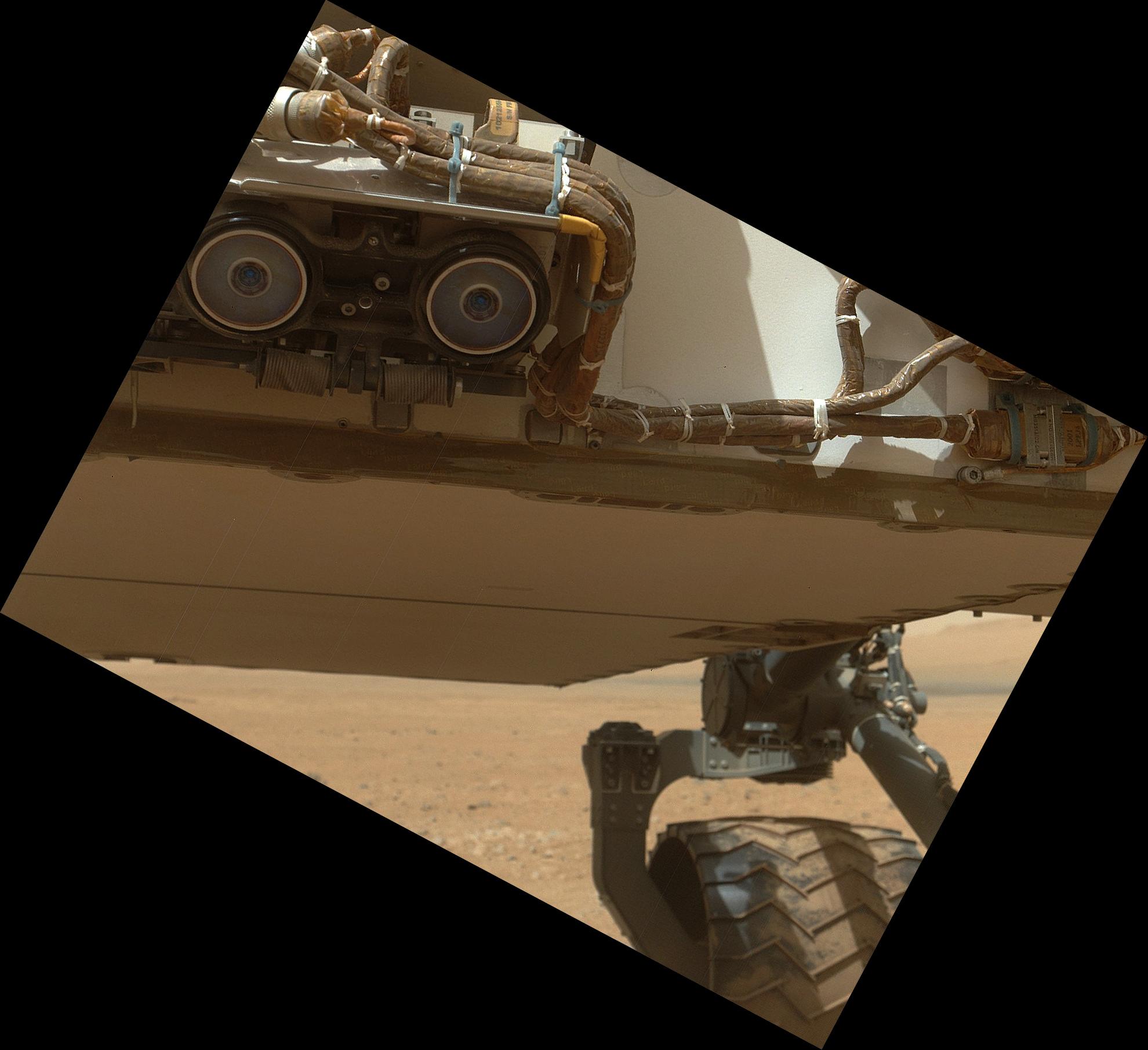
2012-08-17 |
Mars
|
Mars Science Laboratory (MSL)
|
Hazcam (MSL)
|
2399x867x1 |

|
-
PIA16061:
-
A View From Below the Rover Deck
Full Resolution:
TIFF
(2.082 MB)
JPEG
(232.5 kB)
|
|
|
2012-08-29 |
Mars
|
Mars Science Laboratory (MSL)
|
Hazcam (MSL)
|
1001x587x1 |
|
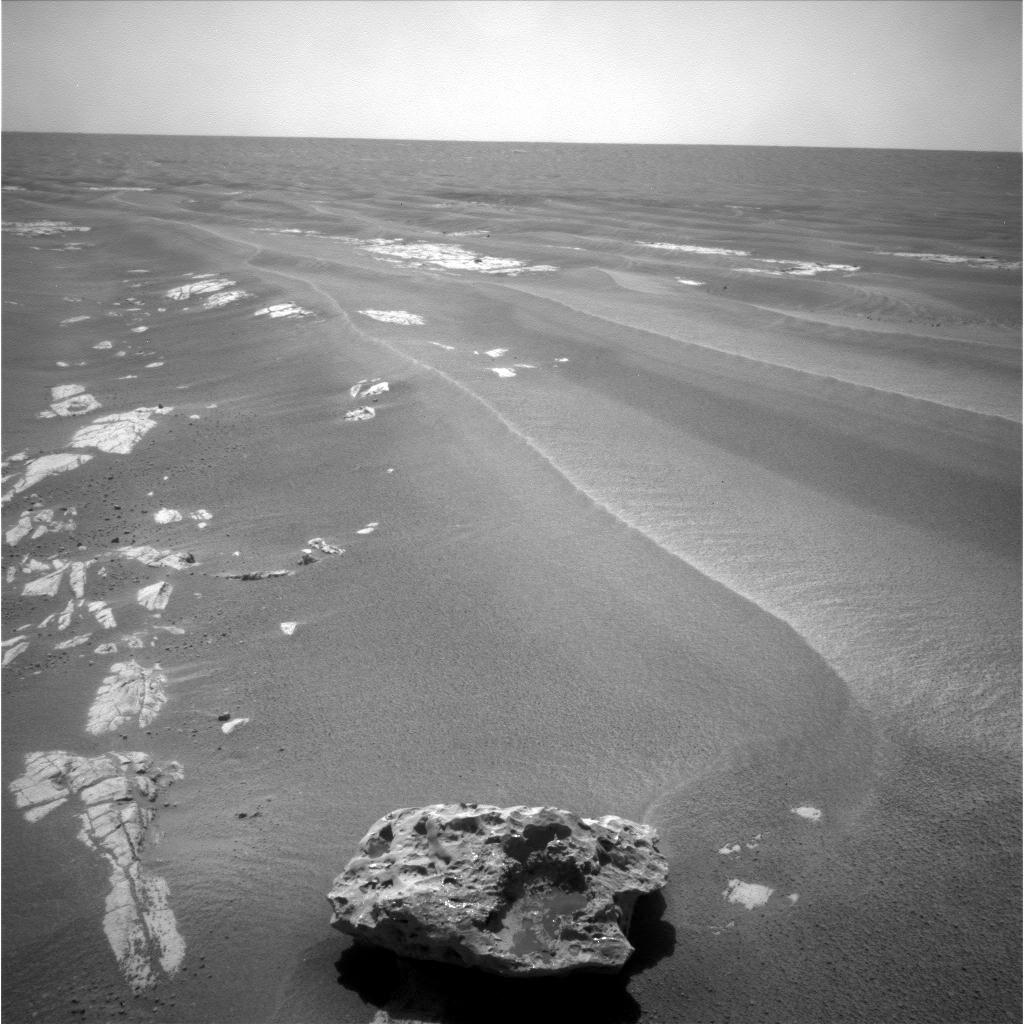
-
PIA15694:
-
Tracks from Eastbound Drive on Curiosity's Sol 22
Full Resolution:
TIFF
(588.4 kB)
JPEG
(49.86 kB)
|
|
|
2012-08-31 |
Mars
|
Mars Science Laboratory (MSL)
|
Hazcam (MSL)
|
7703x977x1 |

|
-
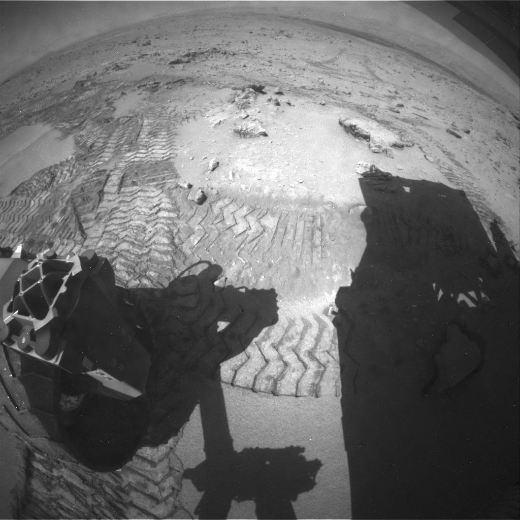
PIA15697:
Looking Back at Tracks from Sol 24 Drive
Full Resolution:
TIFF
(7.534 MB)
JPEG
(1.005 MB)
|
|
|
2013-01-28 |
Mars
|
Mars Science Laboratory (MSL)
|
Hazcam (MSL)
|
1024x1024x1 |

|
-
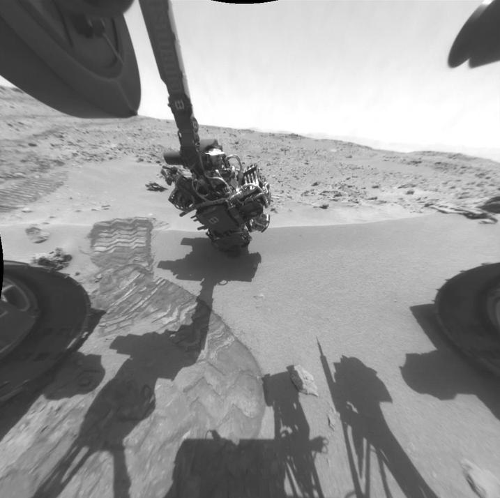
PIA16716:
-
Curiosity's Drill in Place for Load Testing Before Drilling
Full Resolution:
TIFF
(1.05 MB)
JPEG
(162.2 kB)
|
|
|
2013-02-09 |
Mars
|
Mars Science Laboratory (MSL)
|
Hazcam (MSL)
|
930x930x1 |
|
-
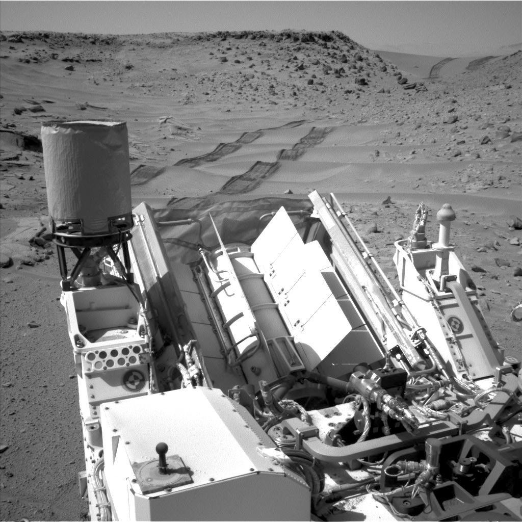
PIA16728:
-
Ready, Set, Drill
Full Resolution:
TIFF
(866.1 kB)
JPEG
(129.1 kB)
|
|
|
2013-05-16 |
Mars
|
Mars Science Laboratory (MSL)
|
Hazcam (MSL)
|
1024x1024x1 |

|
-
PIA16932:
-
Curiosity at 'Cumberland'
Full Resolution:
TIFF
(1.05 MB)
JPEG
(140.1 kB)
|
|
|
2013-06-05 |
Mars
|
Mars Science Laboratory (MSL)
|
Hazcam (MSL)
|
1279x715x1 |
|
-
PIA17068:
-
Curiosity Mars Rover Drilling Into Its Second Rock
Full Resolution:
TIFF
(915.7 kB)
JPEG
(127.9 kB)
|
|
|
2013-07-17 |
Mars
|
Mars Science Laboratory (MSL)
|
Hazcam (MSL)
|
4267x4267x1 |

|
-
PIA17279:
-
One Down, Many Kilometers to Go
Full Resolution:
TIFF
(18.24 MB)
JPEG
(1.174 MB)
|
|
|
2013-08-01 |
Mars
|
Mars Science Laboratory (MSL)
|
Hazcam (MSL)
|
717x714x1 |
|
-
PIA17084:
-
Twelve Months in Two Minutes; Curiosity's First Year on Mars
Full Resolution:
TIFF
(512.7 kB)
JPEG
(50.05 kB)
|
|
|
2013-09-23 |
Mars
|
Mars Science Laboratory (MSL)
|
Hazcam (MSL)
|
1024x1024x1 |
|
-
PIA17363:
-
Curiosity Uses X-ray Instrument's Data for Proximity Placement
Full Resolution:
TIFF
(1.05 MB)
JPEG
(115.4 kB)
|
|
|
2014-02-11 |
Mars
|
Mars Science Laboratory (MSL)
|
Hazcam (MSL)
|
1024x1024x1 |

|
-
PIA17938:
-
Movie of Curiosity's View Backwards While Crossing Dune
Full Resolution:
TIFF
(1.05 MB)
JPEG
(122 kB)
|
|
|
2014-02-11 |
Mars
|
Mars Science Laboratory (MSL)
|
Hazcam (MSL)
|
1024x1024x1 |

|
-
PIA17939:
-
Curiosity Making Headway West of 'Dingo Gap'
Full Resolution:
TIFF
(1.05 MB)
JPEG
(165.9 kB)
|
|
|
2014-08-22 |
Mars
|
Mars Science Laboratory (MSL)
|
Hazcam (MSL)
|
1024x1024x1 |
|
-
PIA18603:
-
Candidate Drilling Target on Mars Doesn't Pass Exam
Full Resolution:
TIFF
(1.05 MB)
JPEG
(156.7 kB)
|
|
|
2015-01-14 |
Mars
|
Mars Science Laboratory (MSL)
|
Hazcam (MSL)
|
1024x1024x1 |

|
-
PIA19104:
-
Curiosity Conducting Mini-Drill Test at 'Mojave'
Full Resolution:
TIFF
(1.05 MB)
JPEG
(145.5 kB)
|
|
|
2022-04-06 |
Mars
|
Mars Science Laboratory (MSL)
|
Hazcam (MSL)
|
1024x768x1 |
|
-
PIA25177:
-
Curiosity's Hazcam Catches a Dusty Wind Gust
Full Resolution:
TIFF
(770.5 kB)
JPEG
(123.6 kB)
|
|
|
2024-01-08 |
Mars
|
Mars Science Laboratory (MSL)
|
Hazcam (MSL)
|
1024x1024x1 |

|
-
PIA26209:
-
Curiosity's Hazcams Capture a Day on Mars
Full Resolution:
TIFF
(979 kB)
JPEG
(106.3 kB)
|
|
|
2012-09-10 |
Mars
|
Mars Science Laboratory (MSL)
|
Hazcam (MSL)
MAHLI
|
-1x-1x3 |
|
-
PIA16133:
-
Belly Check for Curiosity
Full Resolution:
TIFF
(10.76 MB)
JPEG
(237.4 kB)
|
|
|
2004-02-18 |
Mars
|
Mars Global Surveyor (MGS)
Mars Exploration Rover (MER)
|
Hazcam
Mars Orbiter Camera (MOC)
Panoramic Camera
|
2014x1482x1 |

|
-
PIA05304:
-
Dragging Its Foot
Full Resolution:
TIFF
(2.505 MB)
JPEG
(202.4 kB)
|
|
|
2004-04-08 |
Mars
|
Mars Exploration Rover (MER)
|
Hazcam
Microscopic Imager
|
360x240x1413 |
|
-
PIA05724:
-
90 Sols in 90 Seconds
Full Resolution:
|
|
|
2004-03-27 |
Mars
|
Mars Exploration Rover (MER)
|
Hazcam
Miniature Thermal Emission Spectrometer
|
1280x1280x3 |
|
-
PIA05645:
-
Ebony and Ivory
Full Resolution:
TIFF
(1.218 MB)
JPEG
(822.1 kB)
|
|
|
2004-02-17 |
Mars
|
Mars Exploration Rover (MER)
|
Hazcam
Navigation Camera
|
2000x2000x1 |
|
-
PIA05300:
-
Track-and-Trench
Full Resolution:
TIFF
(1.403 MB)
JPEG
(198.3 kB)
|
|
|
2004-02-17 |
Mars
|
Mars Exploration Rover (MER)
|
Hazcam
Navigation Camera
|
5405x5405x1 |
|
-
PIA05301:
-
Track-and-Trench 2
Full Resolution:
TIFF
(10.22 MB)
JPEG
(1.208 MB)
|
|
|
2004-02-17 |
Mars
|
Mars Exploration Rover (MER)
|
Hazcam
Navigation Camera
|
5087x2160x1 |

|
-
PIA05311:
-
Opportunity Trenches Martian Soil
Full Resolution:
TIFF
(6.251 MB)
JPEG
(739.6 kB)
|
|
|
2004-03-05 |
Mars
|
Mars Exploration Rover (MER)
|
Hazcam
Rock Abrasion Tool (RAT)
|
960x720x3 |

|
-
PIA05504:
-
Windows to Meridiani's Water-Soaked Past
Full Resolution:
TIFF
(693.4 kB)
JPEG
(51.44 kB)
|
|
|
2004-02-24 |
Mars
|
Mars Exploration Rover (MER)
|
Hazcam
Rock Abrasion Tool (RAT)
|
512x512x1 |
|
-
PIA05442:
-
Opportunity at El Capitan
Full Resolution:
TIFF
(262.6 kB)
JPEG
(38.01 kB)
|
 Planetary Data System


