My
List |
Addition Date
|
Target
|
Mission
|
Instrument
|
Size
|

|
2000-02-16 |
Earth
|
Shuttle Radar Topography Mission (SRTM)
|
C-Band Interferometric Radar
|
1881x2650x3 |
|
-
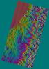
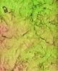
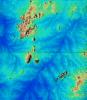
PIA02710:
-
Shaded Relief Color Wrapped, Kamchatka Peninsula, Russia
Full Resolution:
TIFF
(2.271 MB)
JPEG
(868.8 kB)
|
|
|
2000-02-16 |
Earth
|
Landsat
Shuttle Radar Topography Mission (SRTM)
|
C-Band Interferometric Radar
Thematic Mapper
|
1412x1588x3 |
|
-
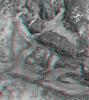
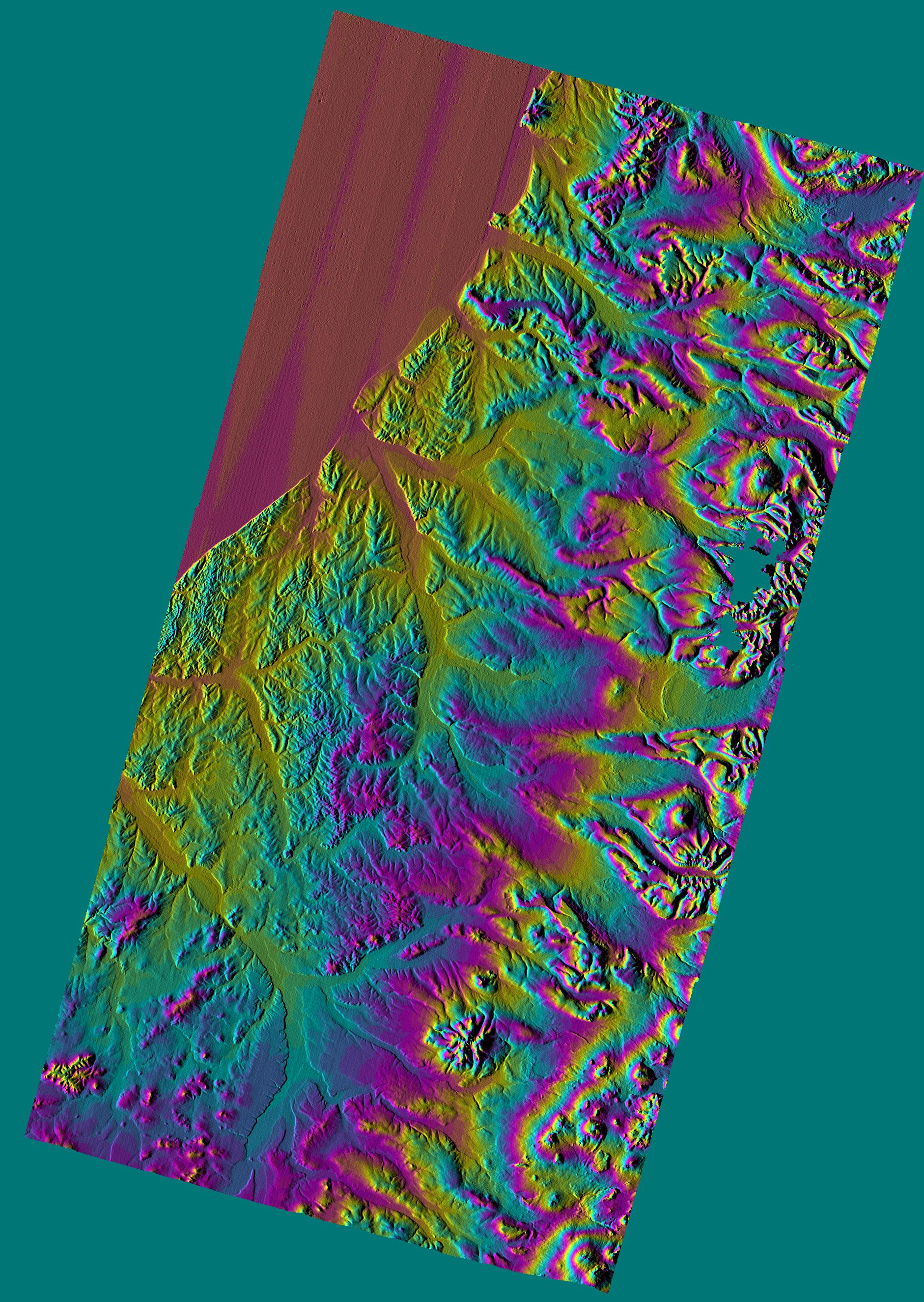
PIA02709:
-
Anaglyph with Landsat Overlay, Kamchatka Peninsula, Russia
Full Resolution:
TIFF
(6.288 MB)
JPEG
(309.4 kB)
|
|
|
2000-02-16 |
Earth
|
Shuttle Radar Topography Mission (SRTM)
|
C-Band Interferometric Radar
|
2384x3021x3 |
|
-
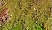
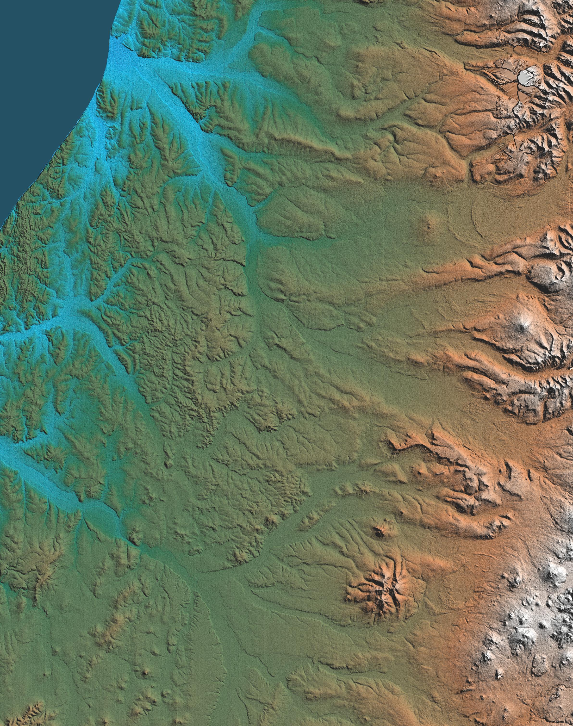
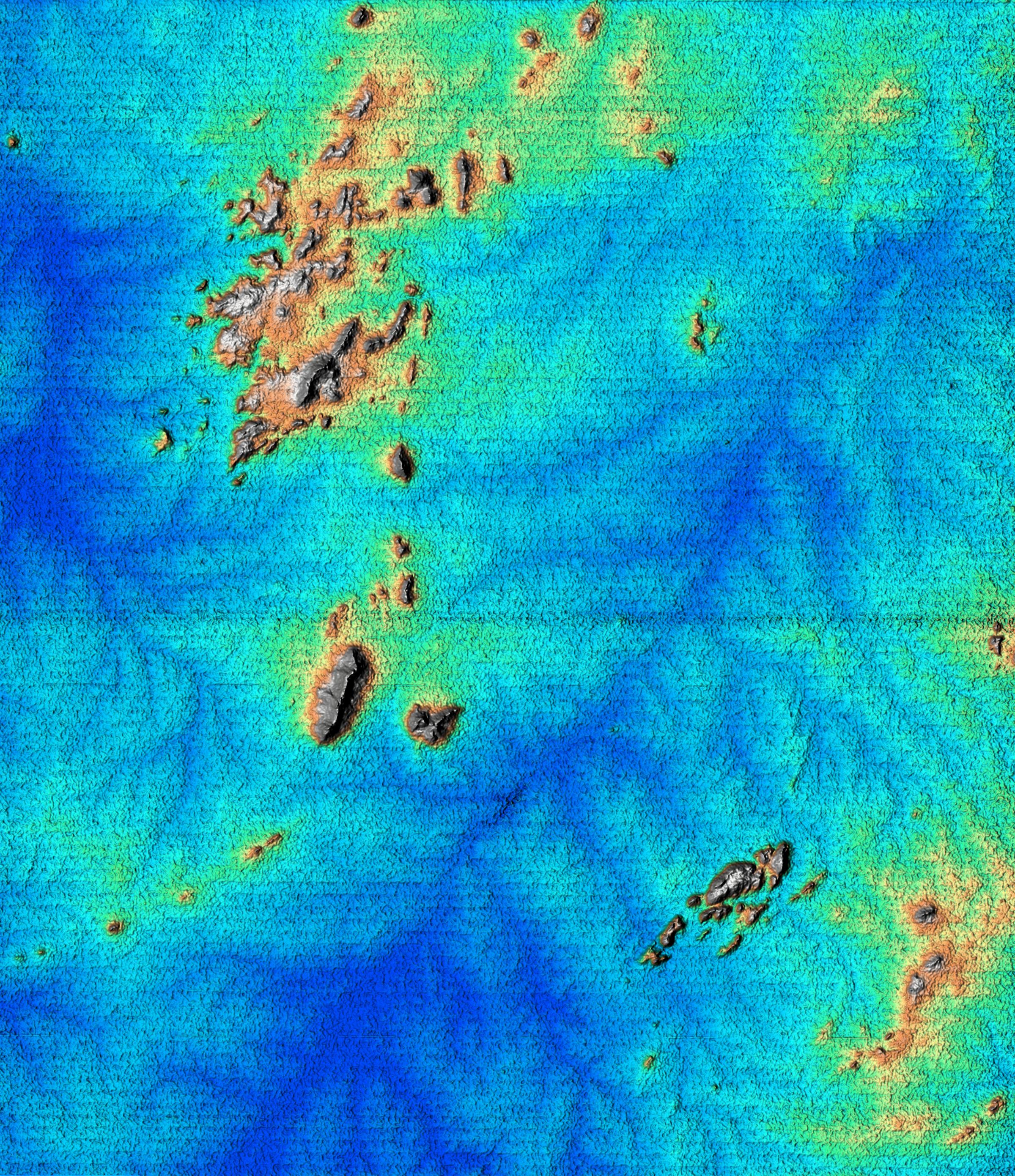
PIA02708:
-
Shaded Relief, Kamchatka Peninsula, Russia
Full Resolution:
TIFF
(20.34 MB)
JPEG
(1.485 MB)
|
|
|
2000-02-16 |
Earth
|
Shuttle Radar Topography Mission (SRTM)
|
C-Band Interferometric Radar
|
1383x962x3 |
|
-
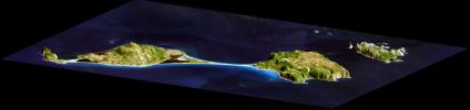
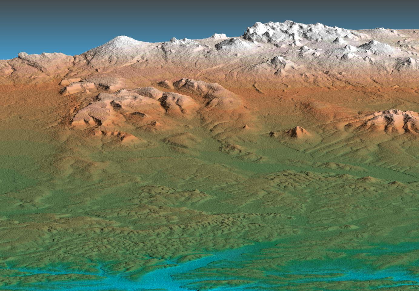
PIA02707:
-
Perspective View, Kamchatka Peninsula, Russia
Full Resolution:
TIFF
(2.612 MB)
JPEG
(219.9 kB)
|
|
|
2000-02-15 |
Earth
|
Shuttle Radar Topography Mission (SRTM)
|
C-Band Interferometric Radar
|
2400x2938x3 |
|
-
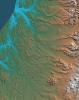
PIA02706:
-
Shaded Relief of South Africa, Northern Cape Province
Full Resolution:
TIFF
(24.95 MB)
JPEG
(2.451 MB)
|
|
|
2000-02-15 |
Earth
|
Shuttle Radar Topography Mission (SRTM)
|
C-Band Interferometric Radar
|
2062x1194x3 |

|
-
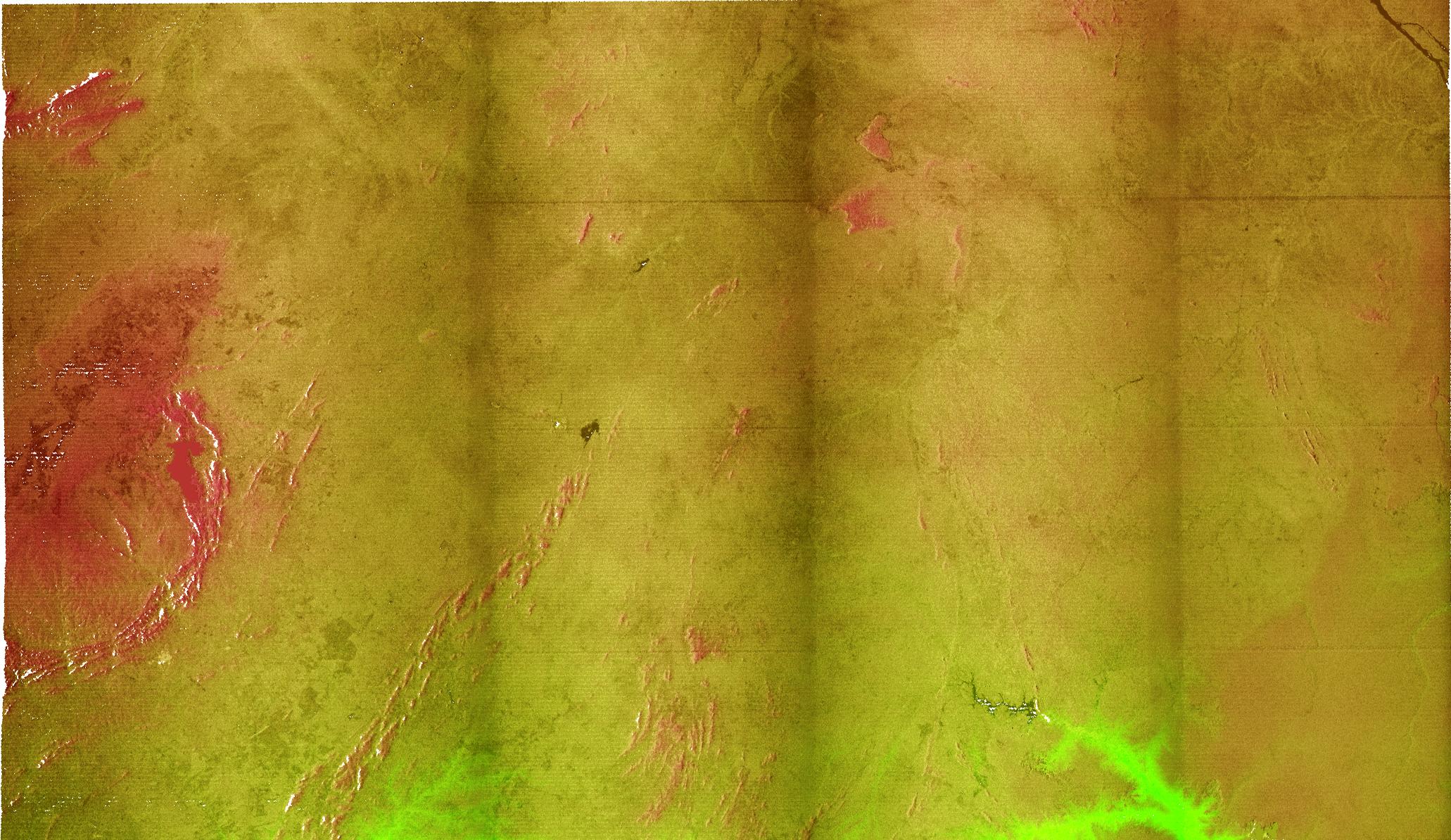
PIA02705:
-
Radar Image with Color as Height, Bahia State, Brazil
Full Resolution:
TIFF
(7.958 MB)
JPEG
(497.6 kB)
|
|
|
2000-02-15 |
Earth
|
Shuttle Radar Topography Mission (SRTM)
|
C-Band Interferometric Radar
|
2056x1194x3 |
|
-
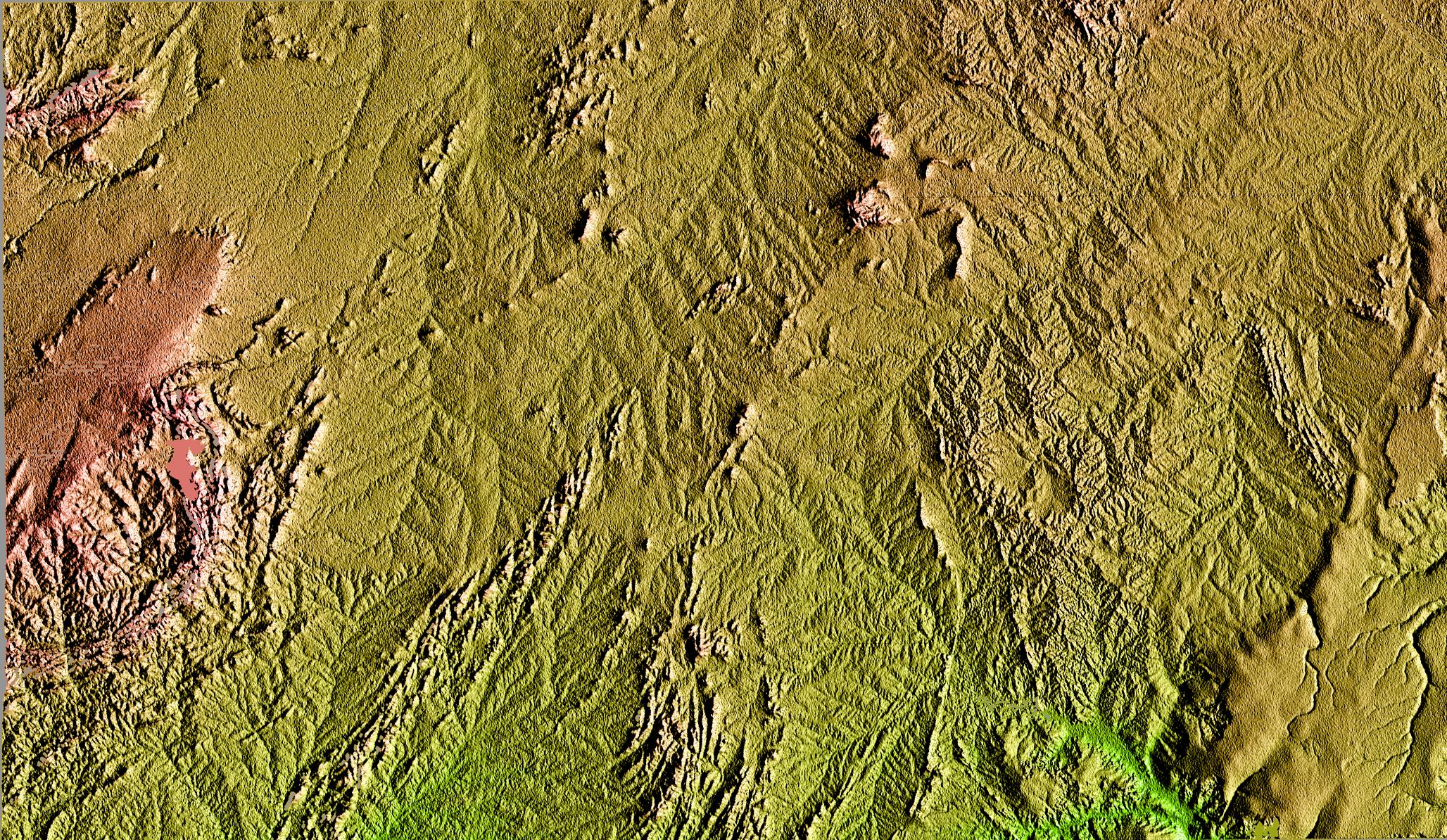
PIA02704:
-
Shaded Relief of Bahia State, Brazil
Full Resolution:
TIFF
(8.391 MB)
JPEG
(1.179 MB)
|
|
|
2000-02-14 |
Earth
|
Shuttle Radar Topography Mission (SRTM)
|
C-Band Interferometric Radar
|
2257x2887x1 |

|
-
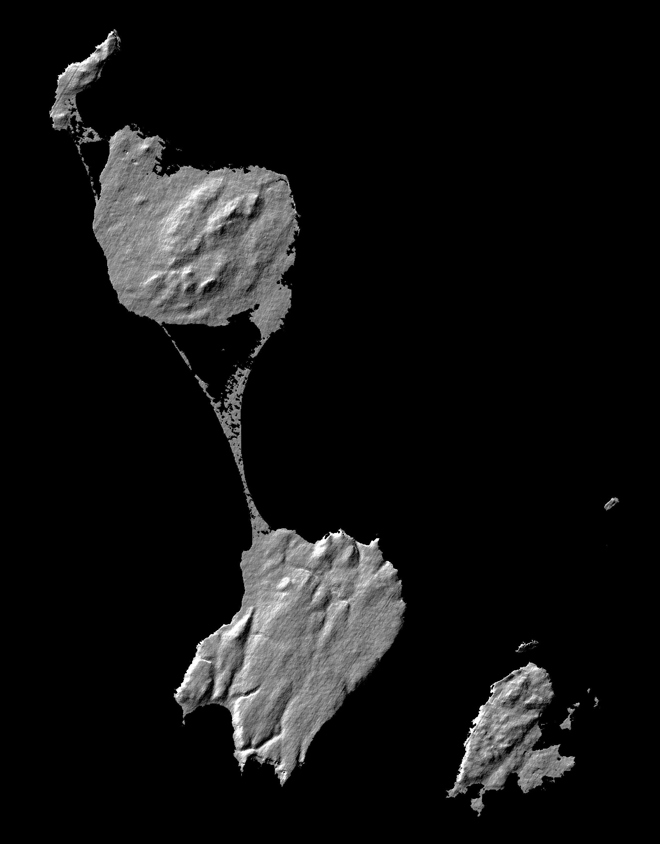
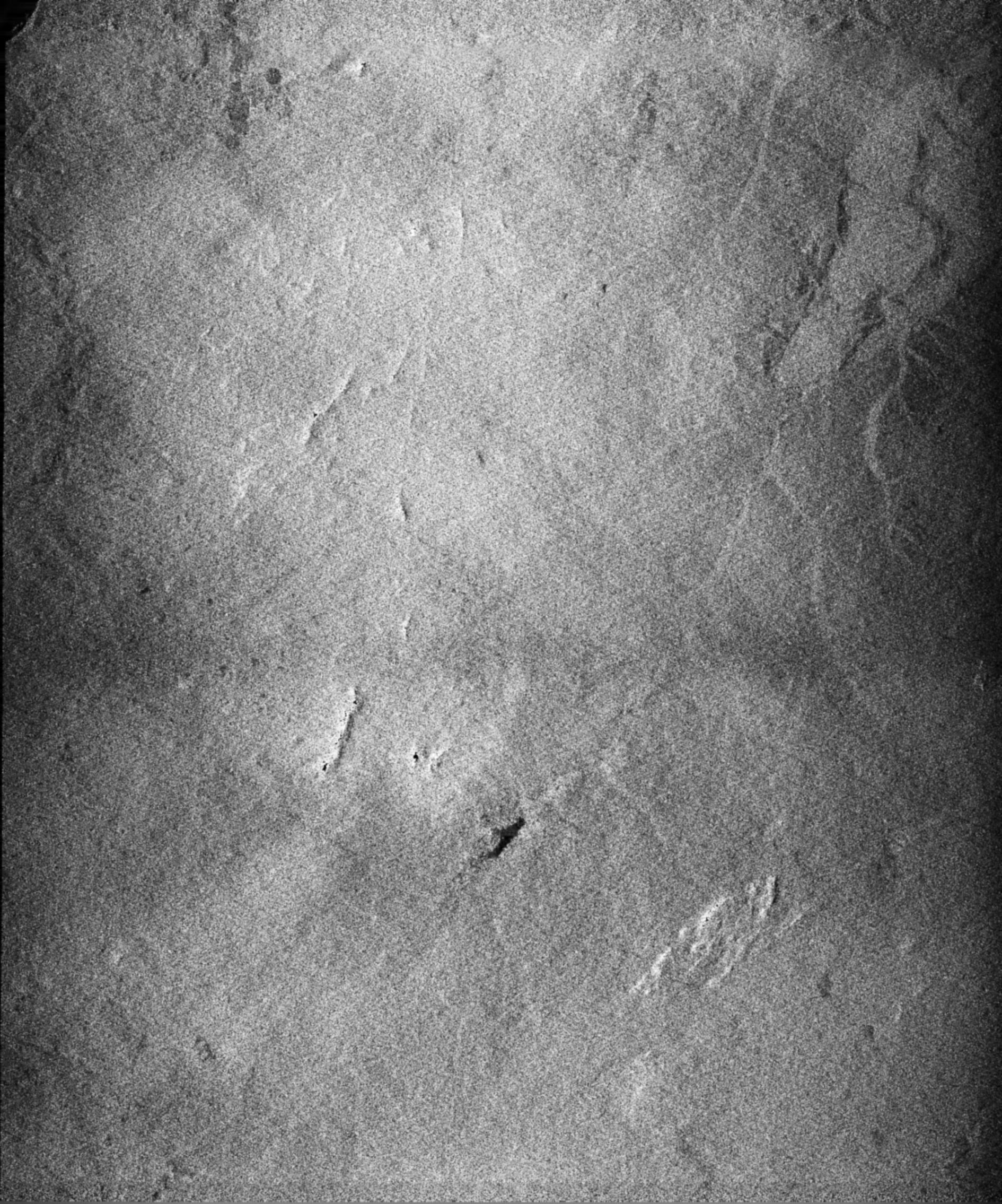
PIA02703:
-
Shaded Relief Image of Saint Pierre and Miquelon
Full Resolution:
TIFF
(633 kB)
JPEG
(328.2 kB)
|
|
|
2000-02-14 |
Earth
|
Landsat
Shuttle Radar Topography Mission (SRTM)
|
C-Band Interferometric Radar
Thematic Mapper
|
3835x904x3 |
|
-
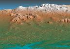
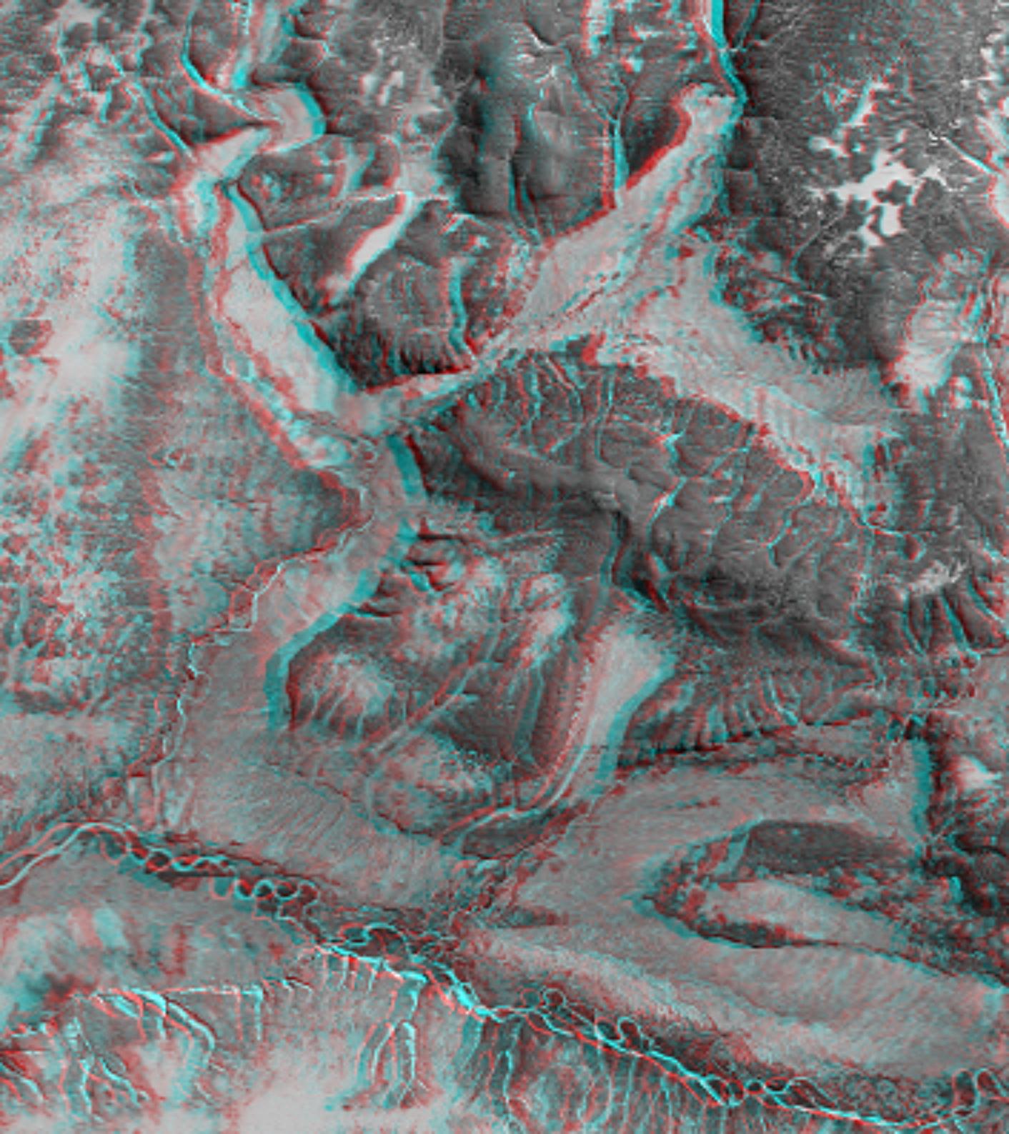
PIA02702:
3-D perspective of Saint Pierre and Miquelon Islands
Full Resolution:
TIFF
(5.571 MB)
JPEG
(258.4 kB)
|
|
|
2000-02-14 |
Earth
|
Shuttle Radar Topography Mission (SRTM)
|
C-Band Interferometric Radar
|
1890x2270x1 |
|
-
PIA02701:
-
Radar Image of Rio Sao Francisco, Brazil
Full Resolution:
TIFF
(4.91 MB)
JPEG
(828.3 kB)
|
|
|
2000-02-14 |
Earth
|
Shuttle Radar Topography Mission (SRTM)
|
C-Band Interferometric Radar
|
2400x2781x3 |
|
-
PIA02700:
-
Shaded Relief of Rio Sao Francisco, Brazil
Full Resolution:
TIFF
(22.27 MB)
JPEG
(1.606 MB)
|
 Planetary Data System


