My
List |
Addition Date
|
Target
|
Mission
|
Instrument
|
Size
|

|
2008-09-05 |
Earth
|
ISS EarthKam
|
Electronic Still Camera
|
3060x2036x3 |

|
-
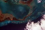
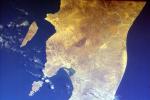
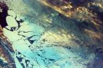
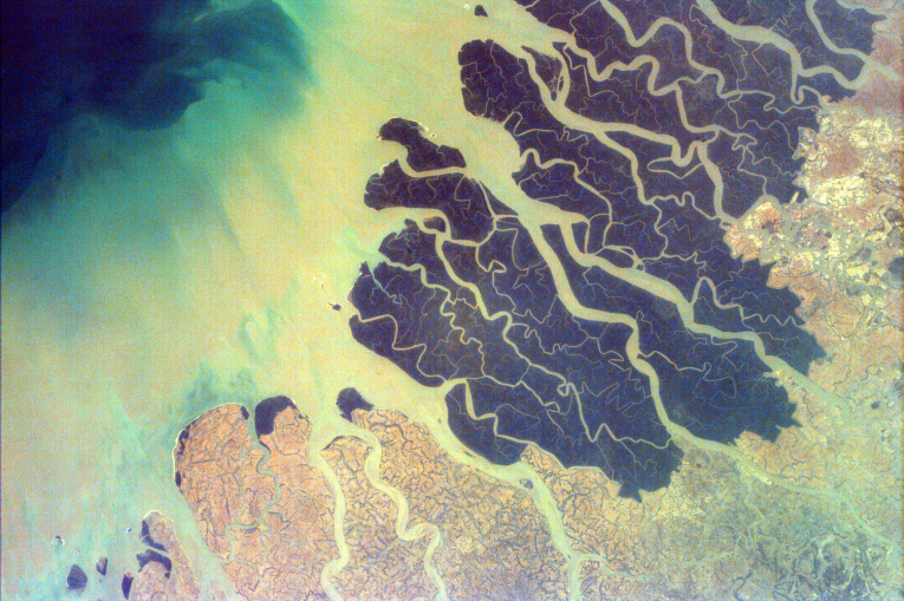
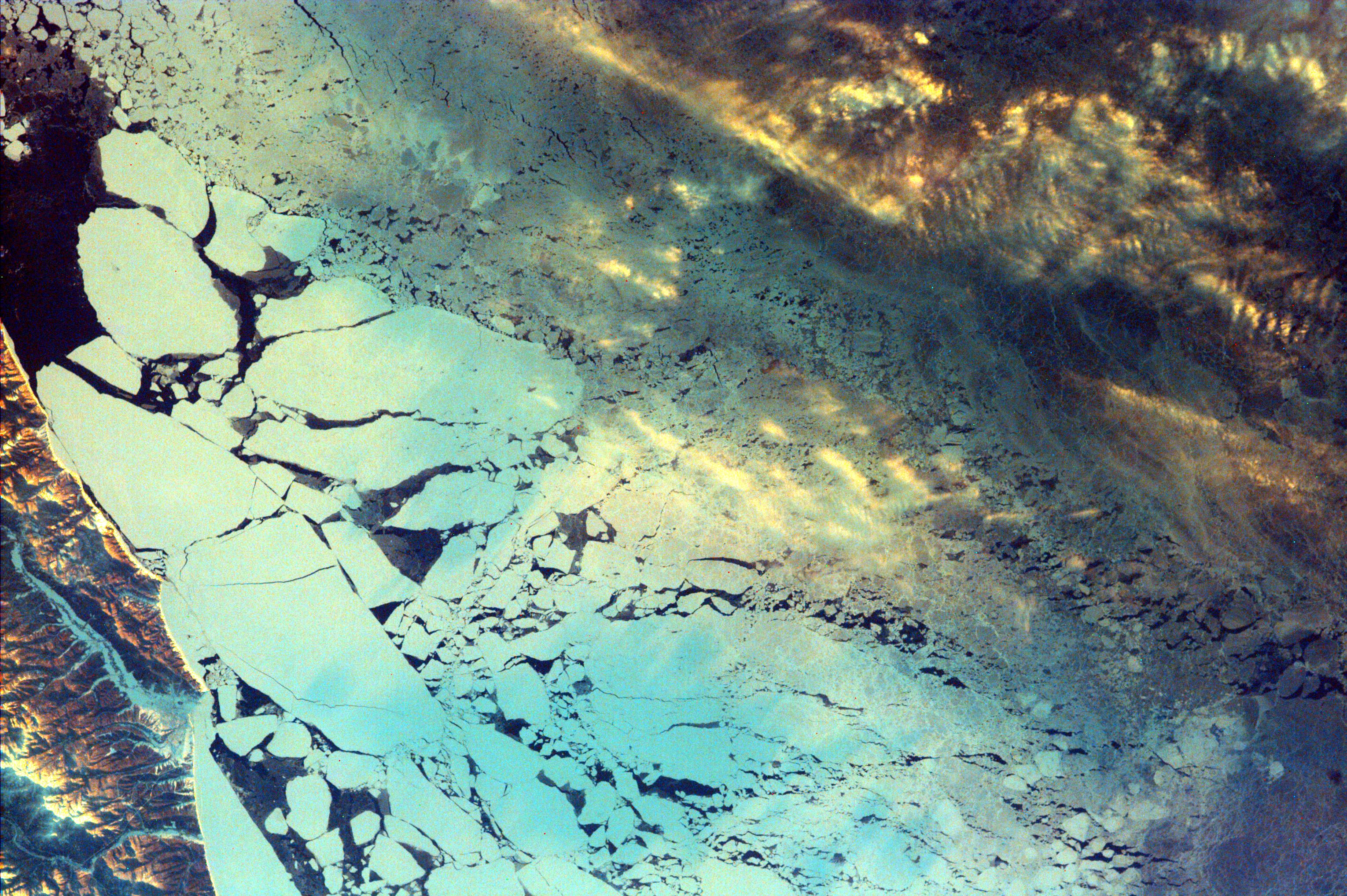
PIA11070:
-
Ganges River Delta
Full Resolution:
TIFF
(18.69 MB)
JPEG
(852 kB)
|
|
|
2008-09-05 |
Earth
|
ISS EarthKam
|
Electronic Still Camera
|
3060x2036x3 |

|
-
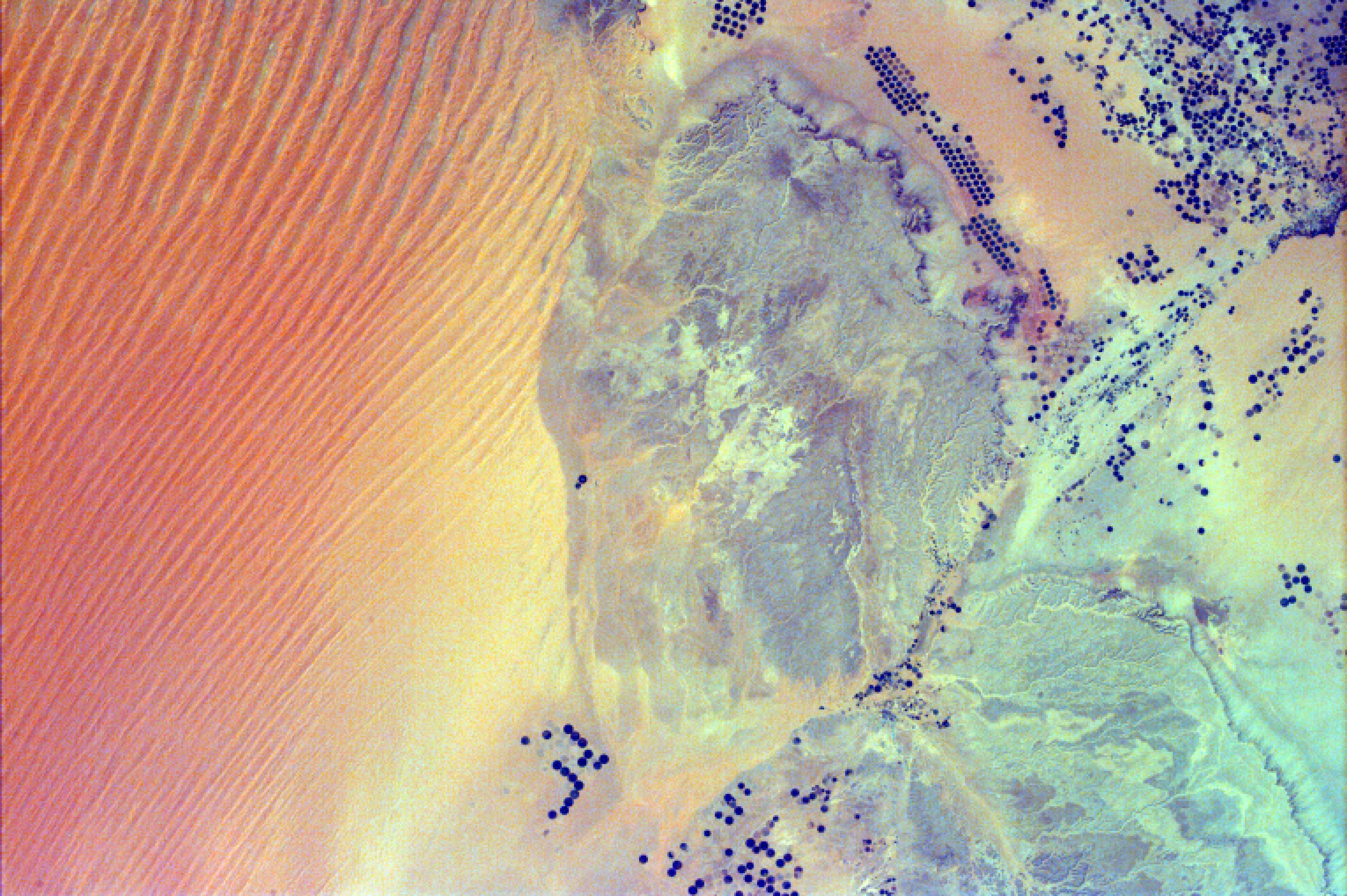
PIA11069:
-
Sand Dunes and Center-Pivot Irrigation in Saudi Arabia
Full Resolution:
TIFF
(18.69 MB)
JPEG
(886.2 kB)
|
|
|
2008-09-05 |
Earth
|
ISS EarthKam
|
Electronic Still Camera
|
3060x2036x3 |
|
-
PIA11068:
-
Atlantic (maybe Caribbean Sea) Ocean and Islands
Full Resolution:
TIFF
(18.69 MB)
JPEG
(475.3 kB)
|
|
|
2008-09-05 |
Earth
|
ISS EarthKam
|
Electronic Still Camera
|
3060x2036x3 |
|
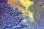
-
PIA11067:
-
Alluvial fan in China
Full Resolution:
TIFF
(18.69 MB)
JPEG
(854 kB)
|
|
|
2008-09-05 |
Earth
|
ISS EarthKam
|
Electronic Still Camera
|
3060x2036x3 |
|
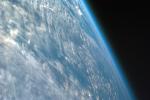
-
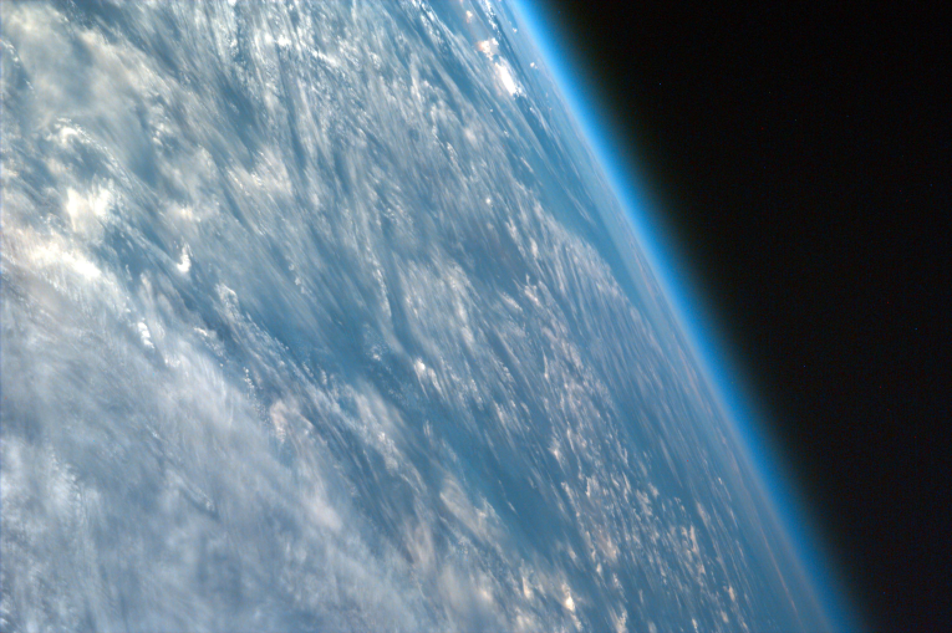
PIA11066:
-
Oblique Shot of Earth
Full Resolution:
TIFF
(18.69 MB)
JPEG
(460.9 kB)
|
|
|
2008-09-05 |
Earth
|
ISS EarthKam
|
Electronic Still Camera
|
3060x2036x3 |
|
-
PIA11065:
-
Delta of the Gurupi, Maracacume, and Tiriacu Rivers, Brazil
Full Resolution:
TIFF
(18.69 MB)
JPEG
(731 kB)
|
|
|
2008-09-05 |
Earth
|
ISS EarthKam
|
Electronic Still Camera
|
3060x2036x3 |

|
-
PIA11064:
-
Cape Cod, Massachusetts
Full Resolution:
TIFF
(18.69 MB)
JPEG
(1.008 MB)
|
|
|
2008-09-05 |
Earth
|
ISS EarthKam
|
Electronic Still Camera
|
3060x2036x3 |
|
-
PIA11063:
-
Southern Tip of Baja California, Mexico
Full Resolution:
TIFF
(18.69 MB)
JPEG
(1.229 MB)
|
|
|
2008-09-05 |
Earth
|
ISS EarthKam
|
Electronic Still Camera
|
3060x2036x3 |
|
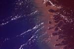
-
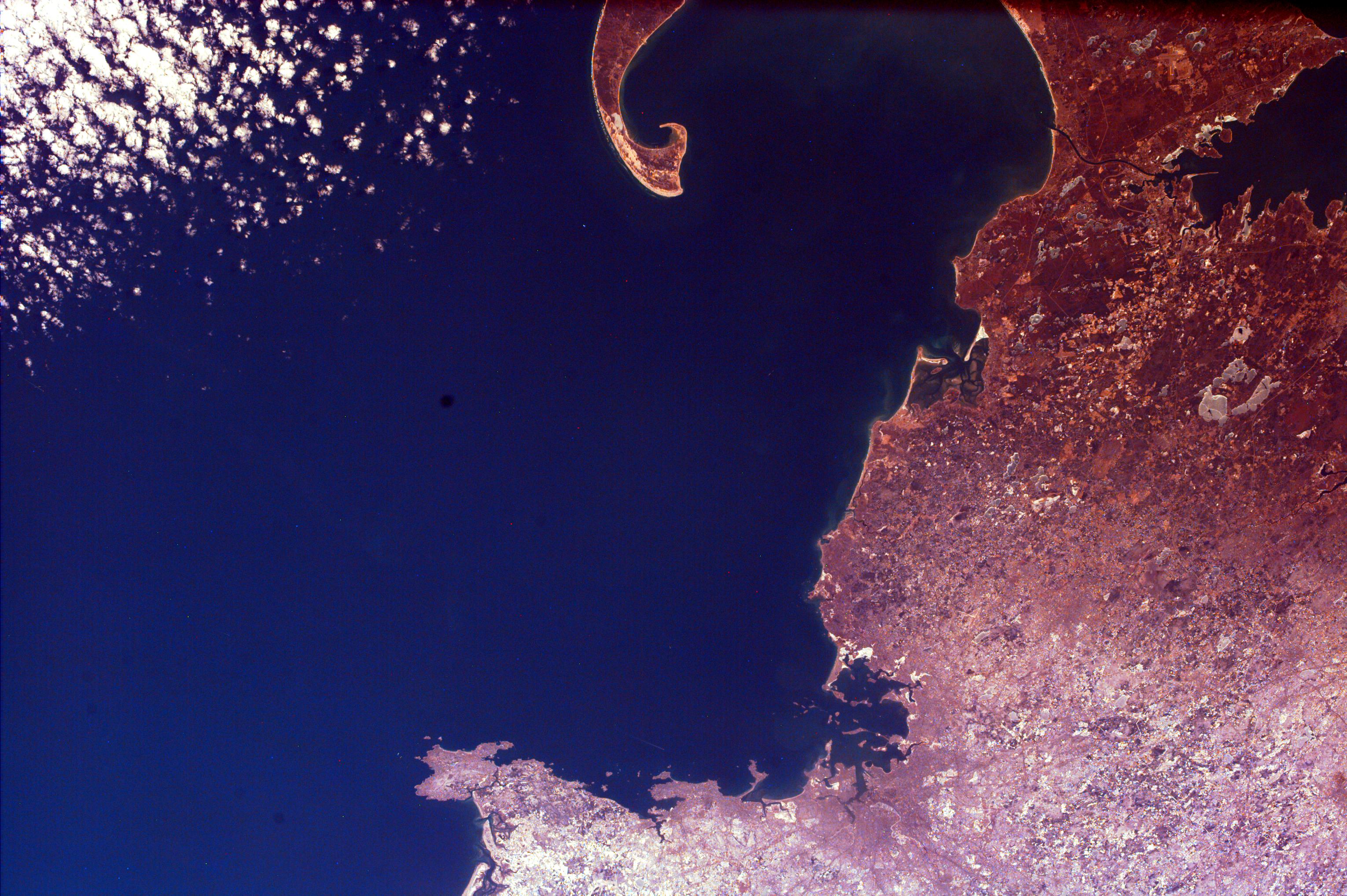
PIA11062:
-
Contrails over Lisbon, Portugal
Full Resolution:
TIFF
(18.69 MB)
JPEG
(1.138 MB)
|
|
|
2008-09-05 |
Earth
|
ISS EarthKam
|
Electronic Still Camera
|
3060x2036x3 |
|
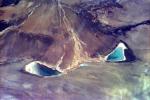
-
PIA11061:
-
Frozen Lake Quinghai Nanshan, Northern China
Full Resolution:
TIFF
(18.69 MB)
JPEG
(1.217 MB)
|
|
|
2008-09-04 |
Earth
|
ISS EarthKam
|
Electronic Still Camera
|
3060x2036x3 |

|
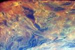
-
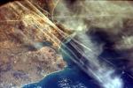
PIA11021:
-
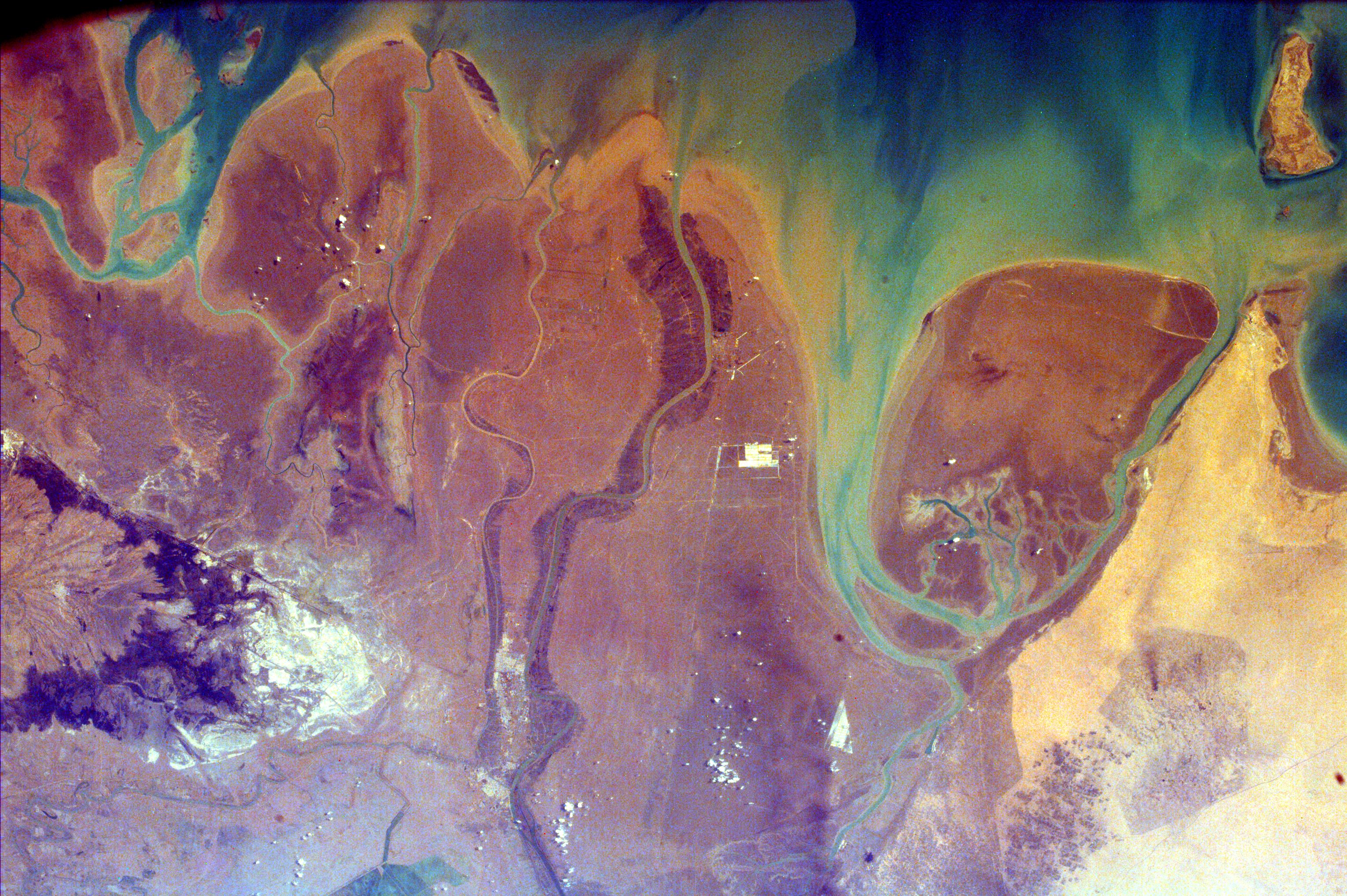
The Persian Gulf and the Delta of the Tigris and Euphrates Rivers, Kuwait, Iraq, and Iran
Full Resolution:
TIFF
(18.69 MB)
JPEG
(1.299 MB)
|
|
|
2008-09-04 |
Earth
|
ISS EarthKam
|
Electronic Still Camera
|
3060x2036x3 |

|
-
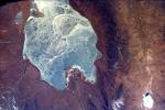
PIA11020:
-
Isla Isabella, Galapagos Island
Full Resolution:
TIFF
(18.69 MB)
JPEG
(873.7 kB)
|
|
|
2008-09-04 |
Earth
|
ISS EarthKam
|
Electronic Still Camera
|
3060x2036x3 |
|
-
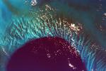
PIA11019:
-
Tongue of the Ocean and Grand Bahama Bank
Full Resolution:
TIFF
(18.69 MB)
JPEG
(1.05 MB)
|
|
|
2008-09-04 |
Earth
|
ISS EarthKam
|
Electronic Still Camera
|
3060x2036x3 |
|
-
PIA11018:
-
Sakhalin Island, Russia
Full Resolution:
TIFF
(18.69 MB)
JPEG
(1.377 MB)
|
|
|
2008-09-04 |
Earth
|
ISS EarthKam
|
Electronic Still Camera
|
3060x2036x3 |
|
-
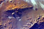
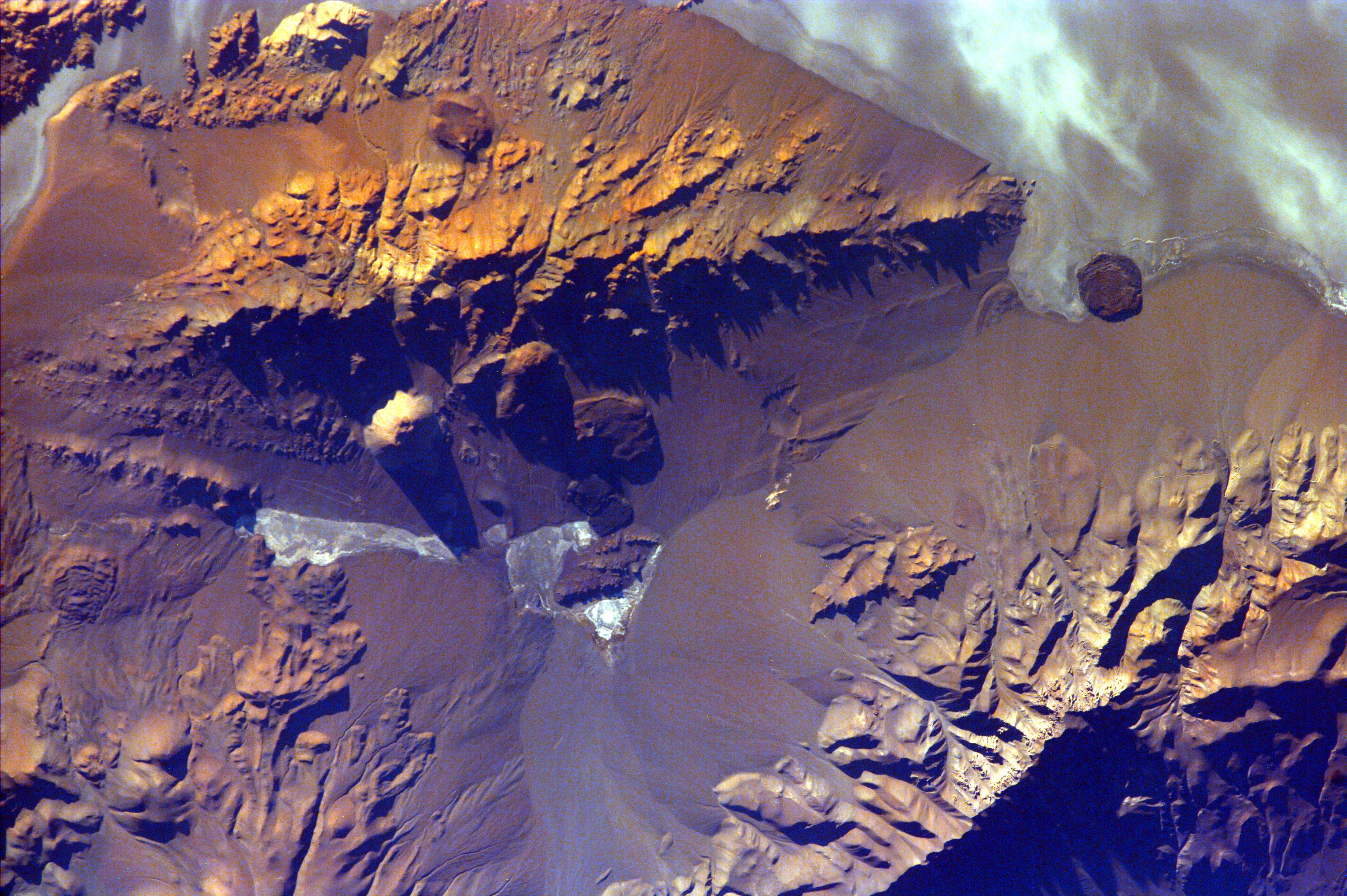
PIA11017:
-
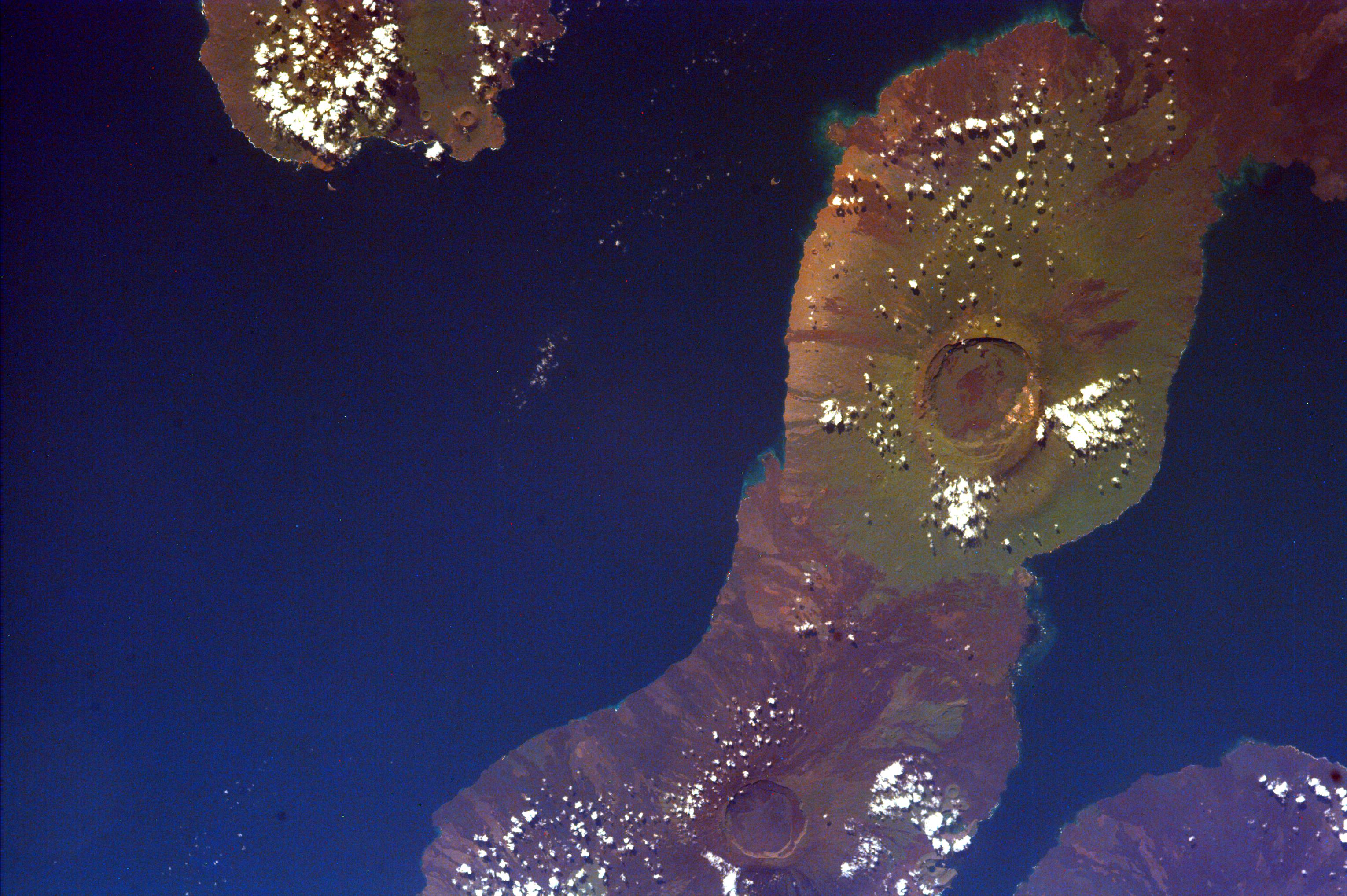
Aracar Volcano, Andes Mountains, Argentina near Chile Border
Full Resolution:
TIFF
(18.69 MB)
JPEG
(1.265 MB)
|
|
|
2008-09-04 |
Earth
|
ISS EarthKam
|
Electronic Still Camera
|
3060x2036x3 |
|
-
PIA11016:
-
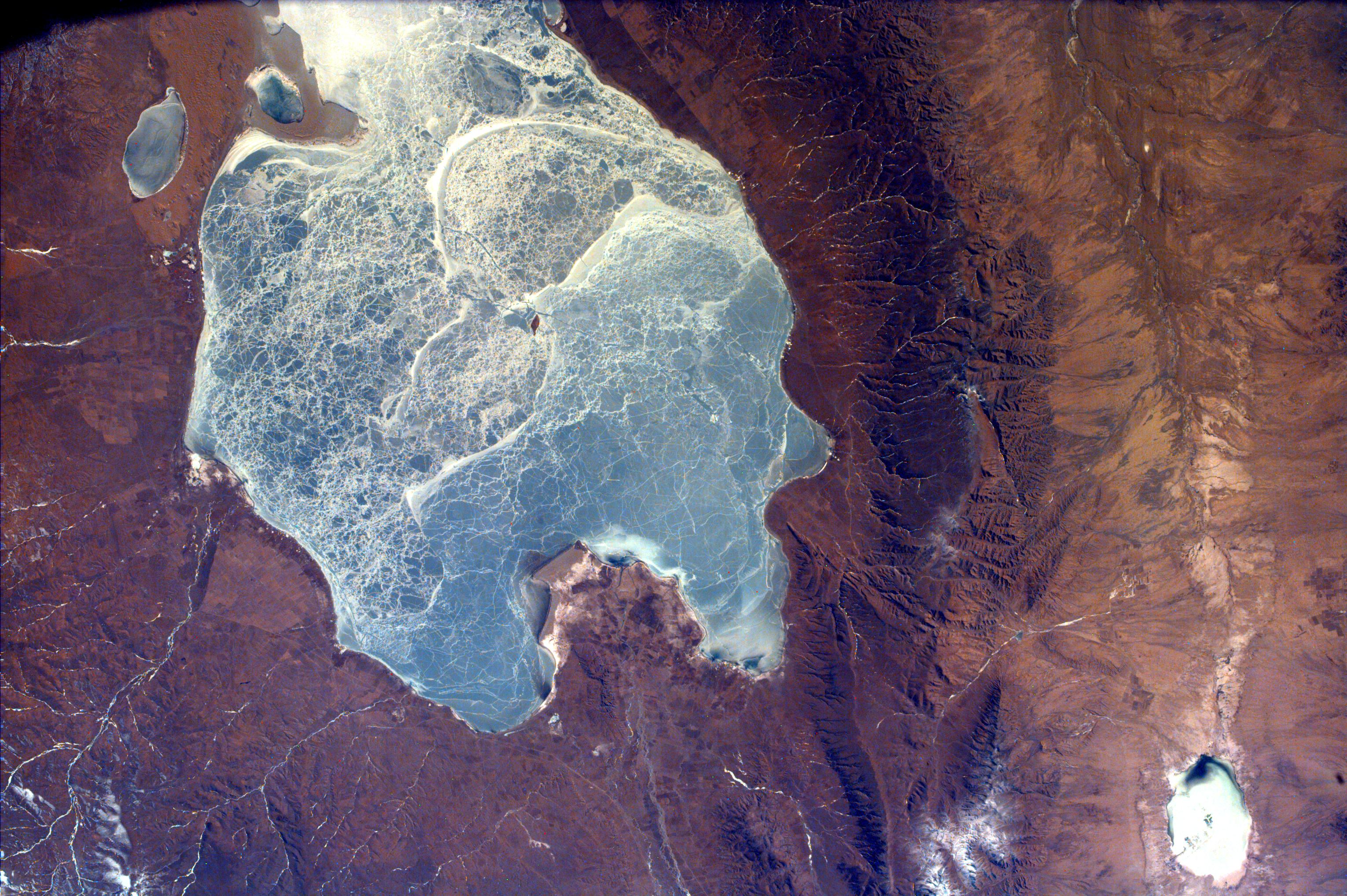
South Australia, Australia
Full Resolution:
TIFF
(18.69 MB)
JPEG
(1.711 MB)
|
|
|
2008-09-04 |
Earth
|
ISS EarthKam
|
Electronic Still Camera
|
3060x2036x3 |
|
-
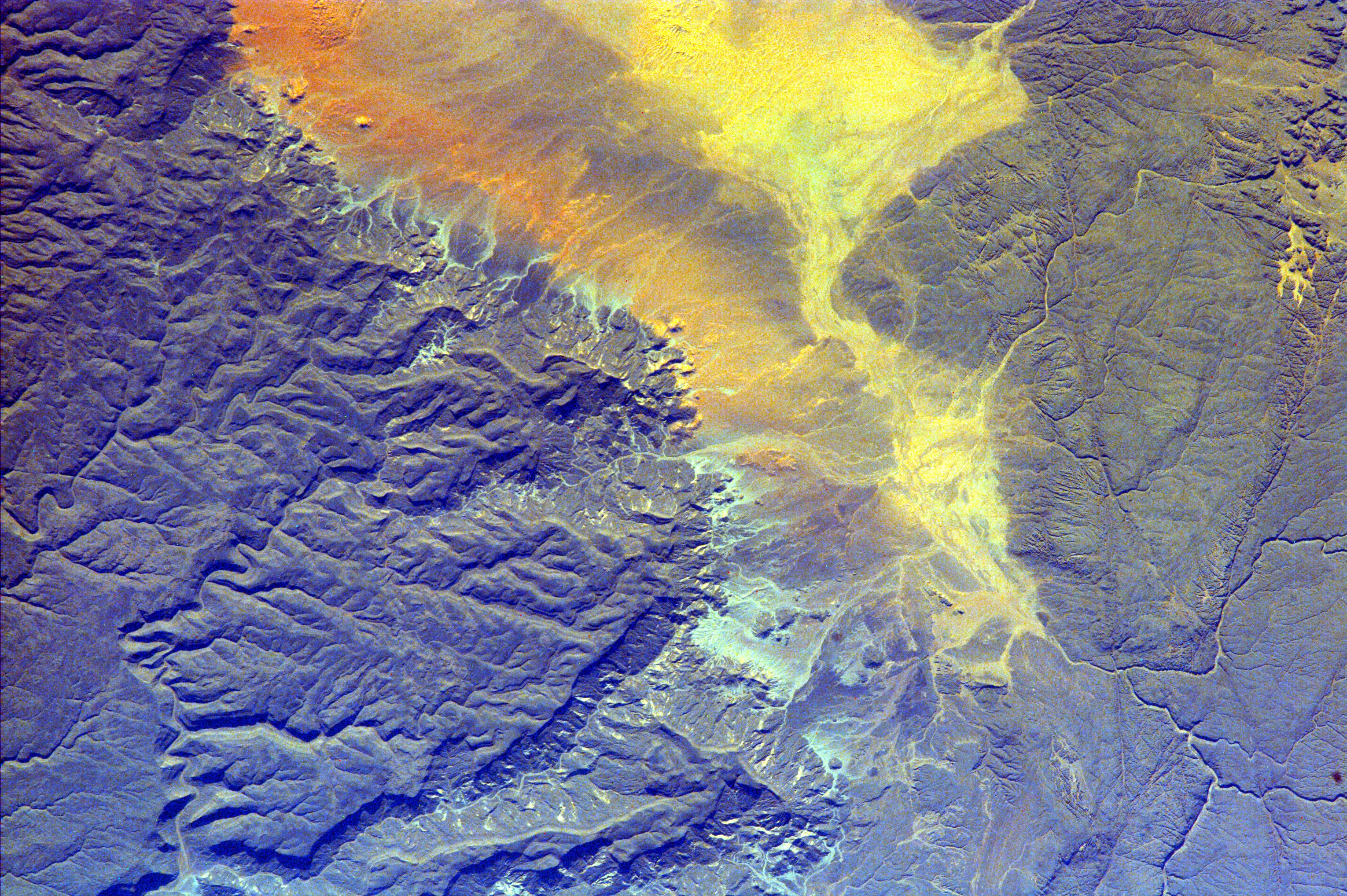
PIA11015:
-
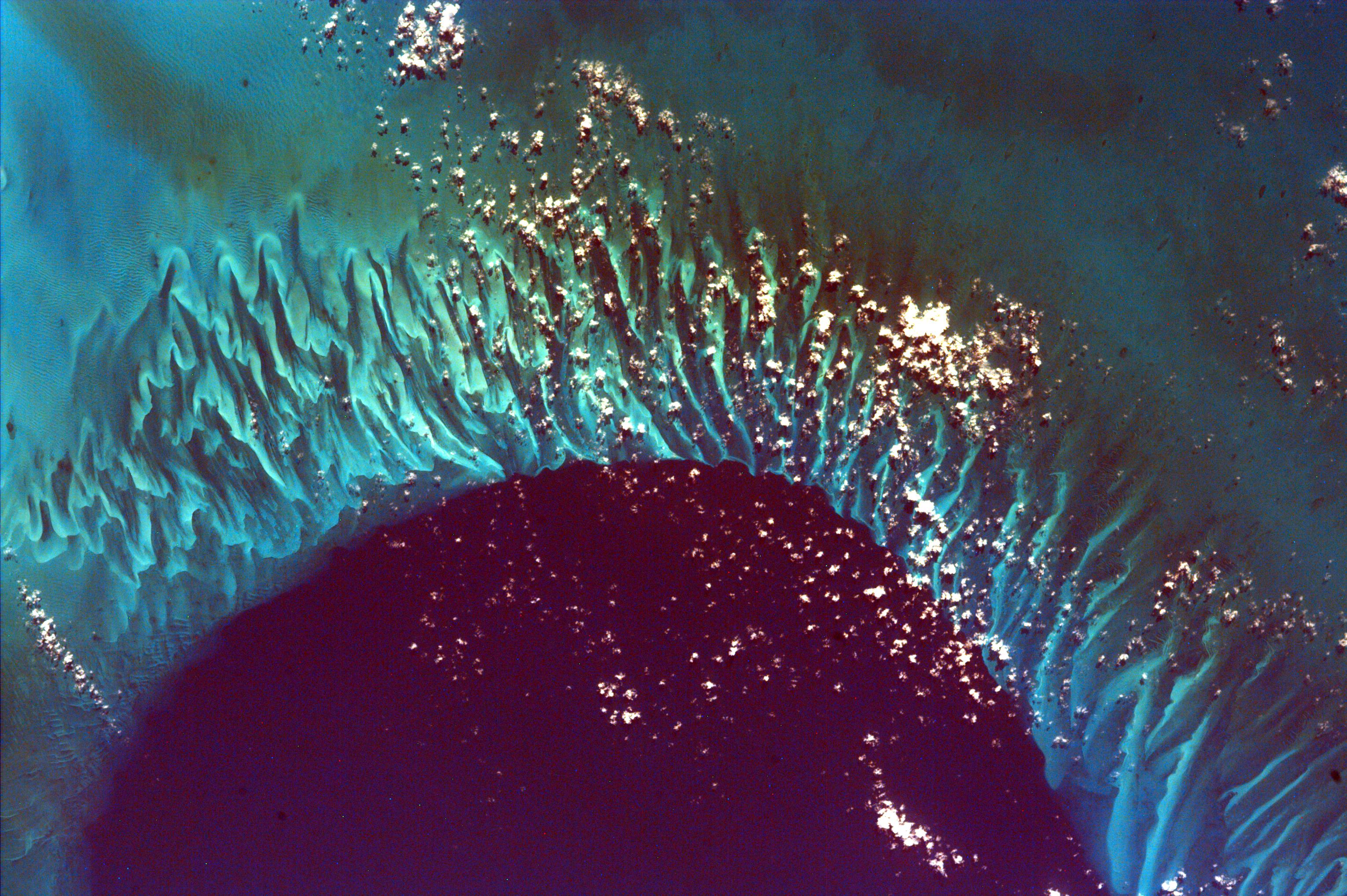
Algeria
Full Resolution:
TIFF
(18.69 MB)
JPEG
(1.659 MB)
|
 Planetary Data System


