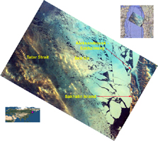
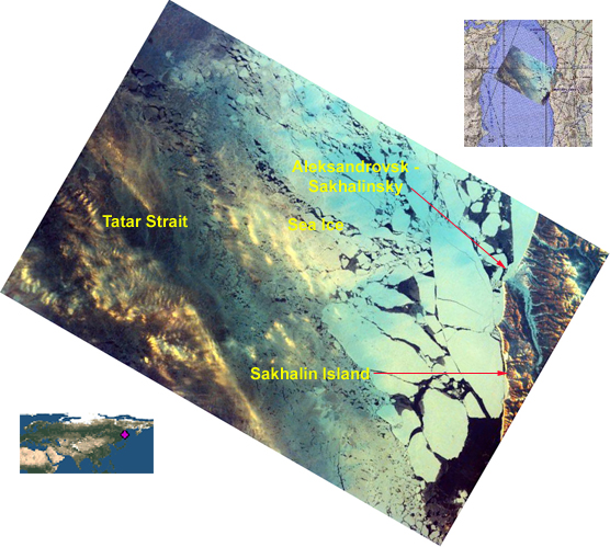
Click on image for larger annotated versionSakhalin Island is located just north of Japan and east of the Khabarovski and Primorski Krai of the Russian Far East. With the Kuril Islands, it forms Sakhalin Province. The Island is long and narrow, almost 589 miles in length, extending from temperate on the south end to tundra on the north. It is 100 miles wide and covers an area of 29,500 square miles. Sakhalin is rich in natural resources, with substantial timber, fishing and oil reserves. The Island has mountainous terrain on both East and West coasts with a long central valley between. The Strait of Tartar, defined by the warm Japanese current, separates the west coast of Sakhalin Island from mainland Russia. The Sea of Okhotsk to the east is cold and freezes solid through the winter. The warm and cold water create a climate of wind, rain and fog, with substantial snowfall during winter. Sakhalin was first settled by Japanese fishermen along the southern coasts. Sakhalin Island was used by Russia as a penal colony in the late 19th and early 20th century. Being sent to Sakhalin was considered worse than being sent to Siberia. Permanent agricultural settlements on Sakhalin took in men who had finished serving their time, exile settlers, and members of families who voluntarily followed prisoners to Sakhalin.
Vegetation on the island ranges from tundra and stunted forests of birch and willow in the north to dense deciduous forest in the south. Fishing, mainly of crab, herring, cod, and salmon, is the principal economic activity around the coast. Petroleum and natural gas extraction in the north, coal mining, and lumbering, including paper production, are the basis of the rest of the economy. The main agricultural activity is raising livestock.
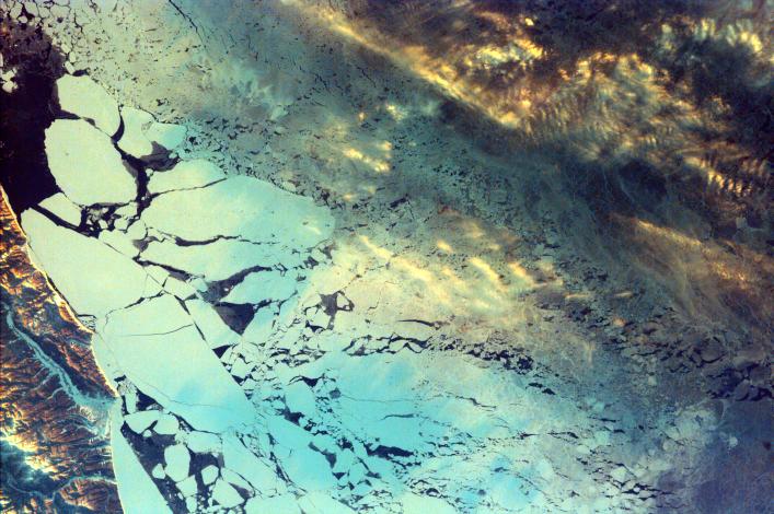
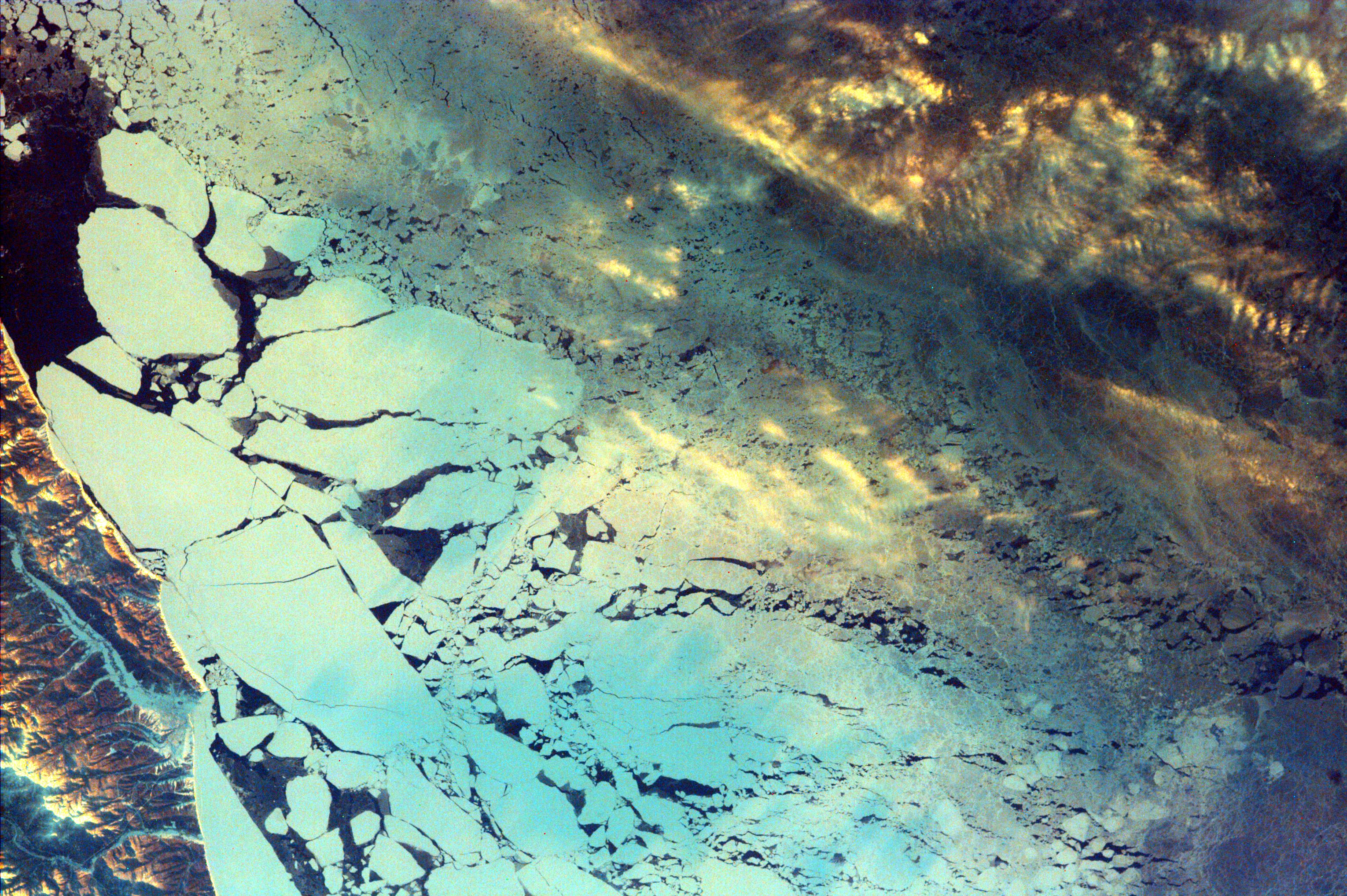
This image was taken from the Space Shuttle on February 19, 2000.
Photojournal note:
EarthKAM was formerly known as KidSat. To see images of KidSat, see https://photojournal.jpl.nasa.gov/mission/KidSat .