|
Your search criteria found 488 images Collection Type |
| My List |
Addition Date | Target |
Mission
|
Instrument | Size |

|
2003-10-28 | Mars |
2001 Mars Odyssey |
6000x5000x3 | |
|
|||||
|
|
2003-10-28 | Mars |
2001 Mars Odyssey |
4000x4000x3 | |

|
|||||
|
|
2005-05-19 |
2001 Mars Odyssey Mars Global Surveyor (MGS) |
Mars Orbiter Camera (MOC) |
350x350x3 | |
|
|||||
|
|
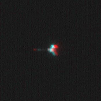
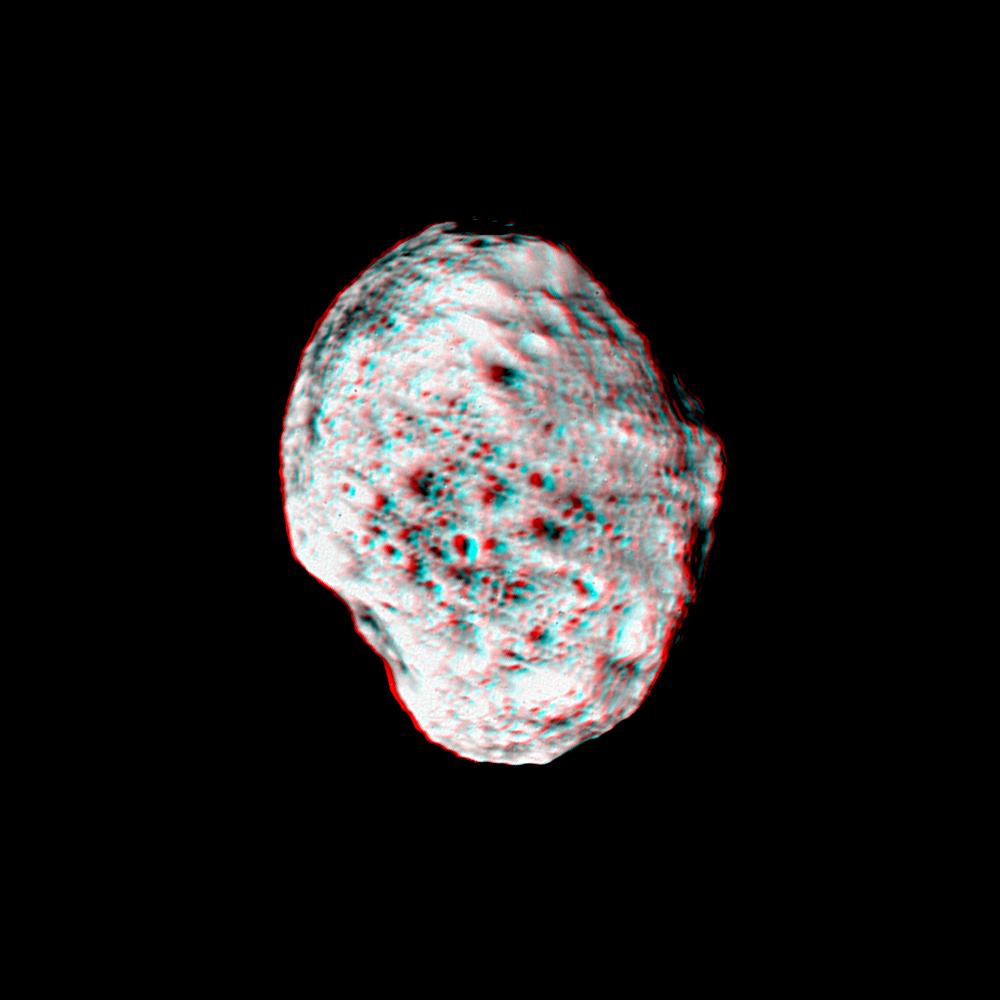
2004-09-02 | Phoebe |
Cassini-Huygens |
ISS - Narrow Angle |
804x974x3 |
|
|||||
|
|
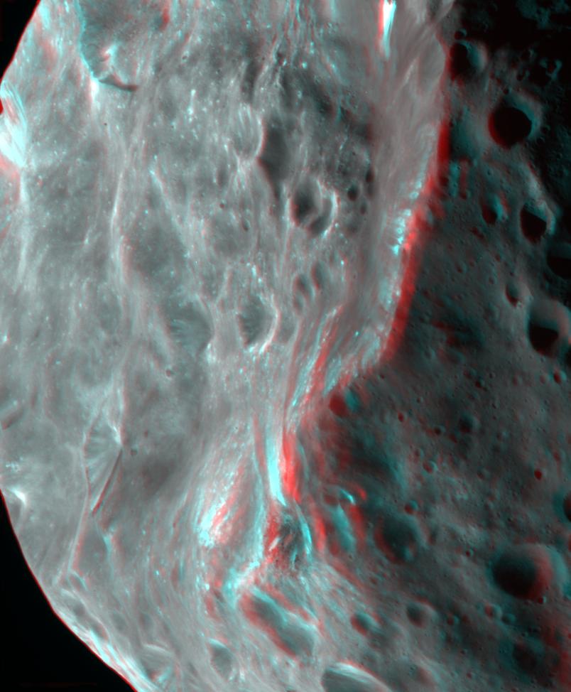
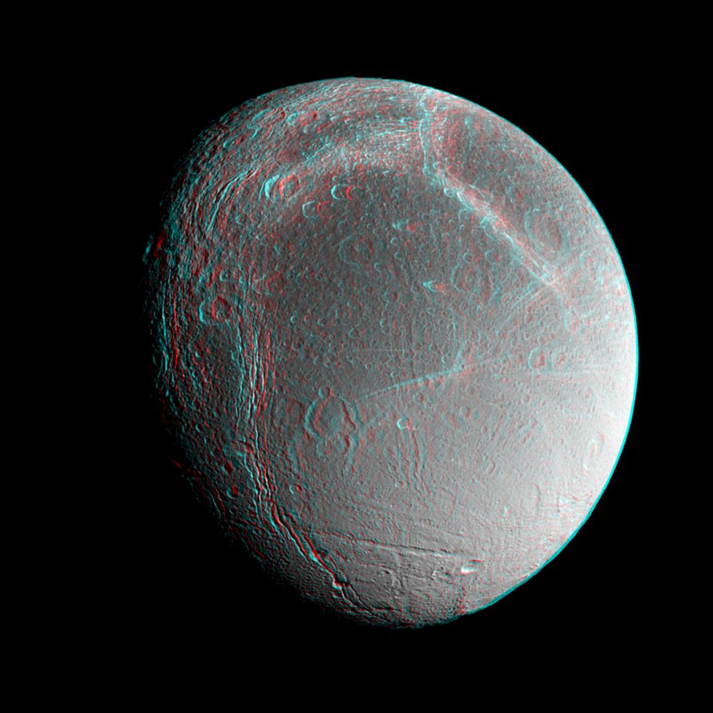
2005-01-07 | Iapetus |
Cassini-Huygens |
ISS - Narrow Angle |
749x748x3 |
|
|||||
|
|
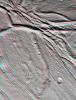
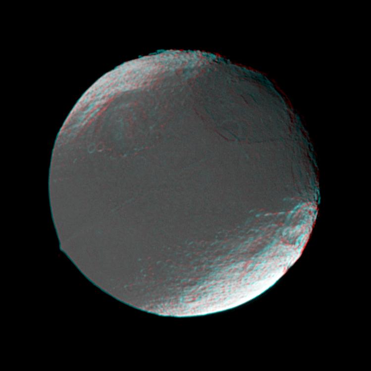
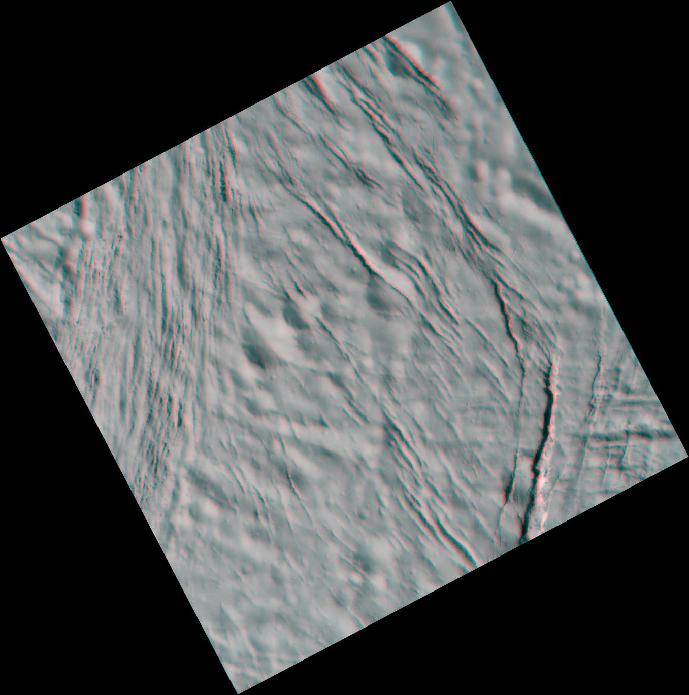
2005-02-18 | Enceladus |
Cassini-Huygens |
ISS - Narrow Angle |
774x1020x3 |
|
|||||
|
|
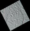
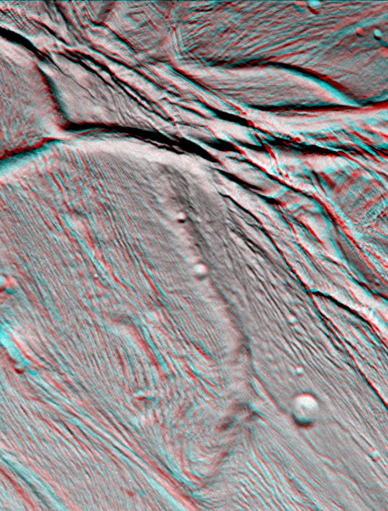
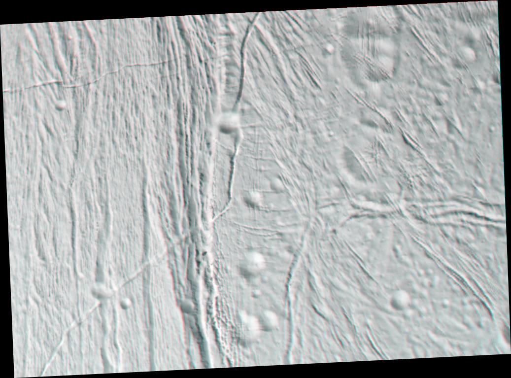
2005-03-24 | Enceladus |
Cassini-Huygens |
ISS - Narrow Angle |
1357x1370x3 |
|
|||||
|
|
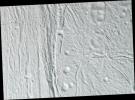
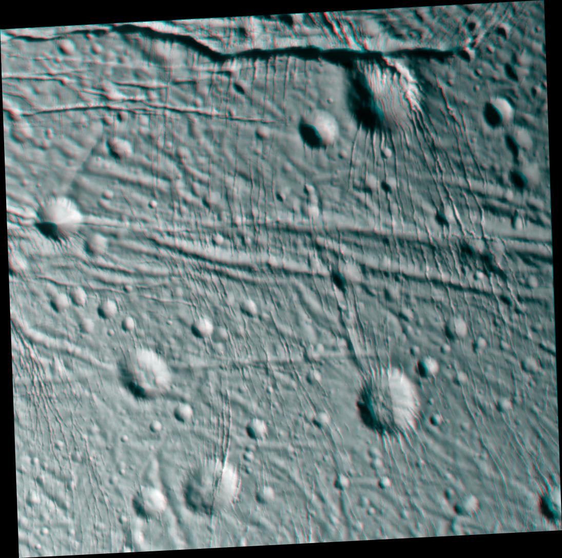
2005-03-24 | Enceladus |
Cassini-Huygens |
ISS - Narrow Angle |
1037x767x3 |
|
|||||
|
|
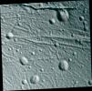
2005-03-24 | Enceladus |
Cassini-Huygens |
ISS - Narrow Angle |
1095x1087x3 |
|
|||||
|
|
2010-02-23 | Enceladus |
Cassini-Huygens |
Imaging Science Subsystem |
1145x1001x3 |
|
|||||
|
|
2005-07-11 | Hyperion |
Cassini-Huygens |
ISS - Narrow Angle |
1000x1000x3 |
|
|||||
|
|
2006-12-29 | Dione |
Cassini-Huygens |
ISS - Narrow Angle |
1000x1000x3 |
|
|||||
|
|
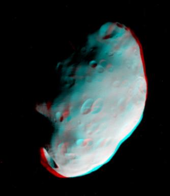
2006-12-29 | Pandora |
Cassini-Huygens |
ISS - Narrow Angle |
334x384x3 |

|
|||||
|
|
2007-10-09 | Iapetus |
Cassini-Huygens |
ISS - Narrow Angle |
4082x1546x3 |
|
|||||
|
|
2007-10-15 | Rhea |
Cassini-Huygens |
ISS - Narrow Angle |
3524x2680x3 |
|
|||||
|
|
2010-02-19 | Prometheus |
Cassini-Huygens |
ISS - Narrow Angle |
470x364x3 |

|
|||||
|
|
2010-03-29 | Mimas |
Cassini-Huygens |
ISS - Narrow Angle |
3891x4179x3 |

|
|||||
|
|
2010-12-21 | Rhea |
Cassini-Huygens |
ISS - Narrow Angle |
2069x3757x3 |
|
|||||
|
|
2017-03-16 | Pan |
Cassini-Huygens |
ISS - Narrow Angle |
900x600x3 |
|
|||||
|
|
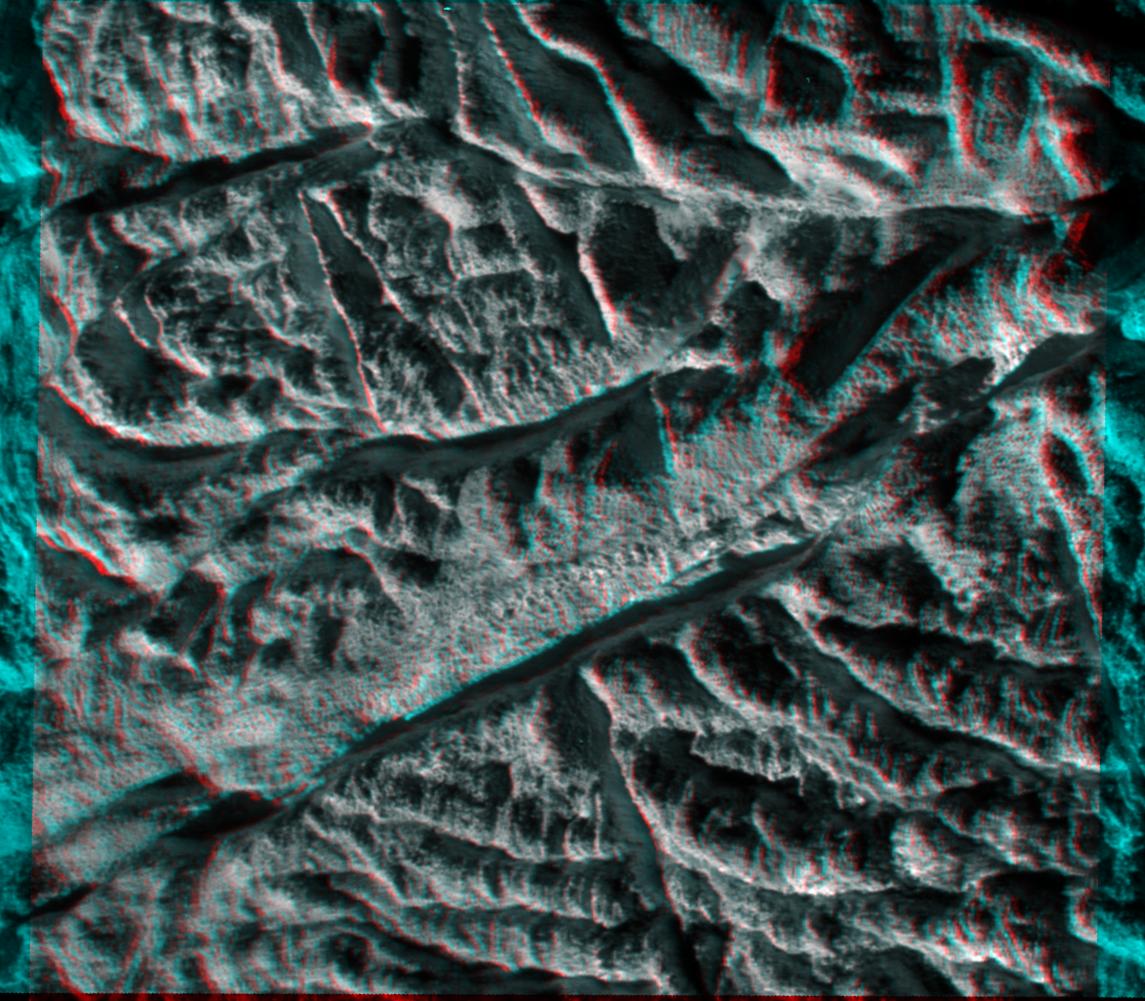
2011-10-11 | Vesta |
Dawn |
Framing Camera |
1260x1450x3 |
|
|||||
|
|
2011-03-10 | Vesta |
Dawn |
800x800x3 | |
|
|||||
|
|
2011-07-18 | Vesta |
Dawn |
Framing Camera |
550x537x3 |
|
|||||
|
|
2011-08-16 | Vesta |
Dawn |
Framing Camera |
1186x1180x3 |

|
|||||
|
|
2011-08-18 | Vesta |
Dawn |
Framing Camera |
1128x1413x3 |
|
|||||
|
|
2011-08-20 | Vesta |
Dawn |
Framing Camera |
1222x1350x3 |
|
|||||
|
|
2011-09-12 | Vesta |
Dawn |
Framing Camera |
1260x1400x3 |
|
|||||
|
|
2011-09-16 | Vesta |
Dawn |
Framing Camera |
2520x2900x3 |
|
|||||
|
|
2011-09-16 | Vesta |
Dawn |
Framing Camera |
2810x2968x3 |
|
|||||
|
|
2011-09-16 | Vesta |
Dawn |
Framing Camera |
2372x2360x3 |
|
|||||
|
|
2011-09-27 | Vesta |
Dawn |
Framing Camera |
1072x1155x3 |
|
|||||
|
|
2011-10-03 | Vesta |
Dawn |
Framing Camera |
1407x841x3 |
|
|||||
|
|
2011-10-04 | Vesta |
Dawn |
Framing Camera |
1808x1140x3 |

|
|||||
|
|
2011-10-05 | Vesta |
Dawn |
Framing Camera |
1066x668x3 |
|
|||||
|
|
2011-10-06 | Vesta |
Dawn |
Framing Camera |
2000x1500x3 |
|
|||||
|
|
2011-10-07 | Vesta |
Dawn |
Framing Camera |
1344x1380x3 |
|
|||||
|
|
2011-10-10 | Vesta |
Dawn |
Framing Camera |
1150x1373x3 |
|
|||||
|
|
2011-10-31 | Vesta |
Dawn |
Framing Camera |
1461x1378x3 |
|
|||||
|
|
2012-01-23 | Vesta |
Dawn |
Framing Camera |
1920x1080x3 |
|
|||||
|
|
2012-01-24 | Vesta |
Dawn |
Framing Camera |
1920x1080x3 |
|
|||||
|
|
2012-01-25 | Vesta |
Dawn |
Framing Camera |
1920x1080x3 |
|
|||||
|
|
2012-03-05 | Vesta |
Dawn |
Framing Camera |
634x419x3 |
|
|||||
|
|
2012-03-06 | Vesta |
Dawn |
Framing Camera |
388x325x3 |
|
|||||
|
|
2012-03-07 | Vesta |
Dawn |
Framing Camera |
550x570x3 |
|
|||||
|
|
2012-03-08 | Vesta |
Dawn |
Framing Camera |
552x576x3 |

|
|||||
|
|
2012-05-10 | Vesta |
Dawn |
Framing Camera |
1280x720x3 |
|
|||||
|
|
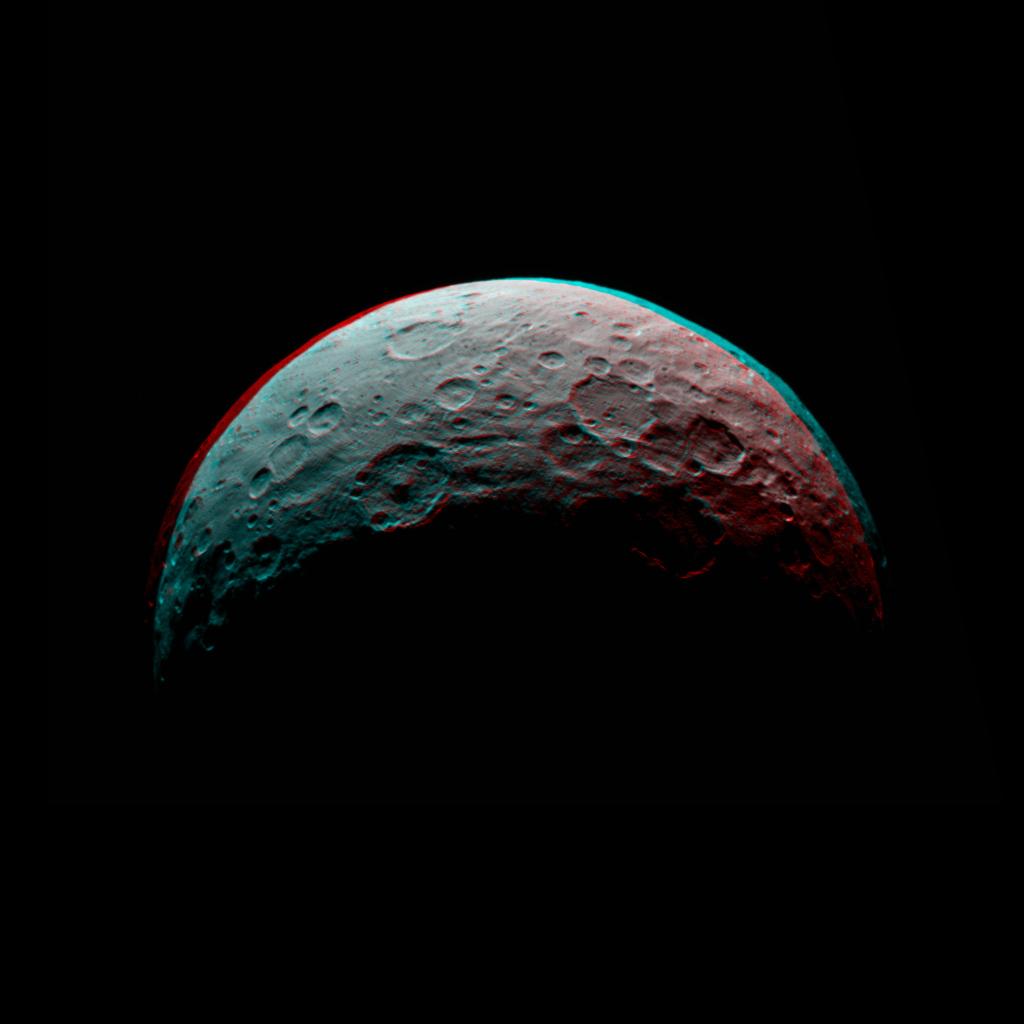
2015-04-29 | Ceres |
Dawn |
Framing Camera |
1024x1024x3 |

|
|||||
|
|
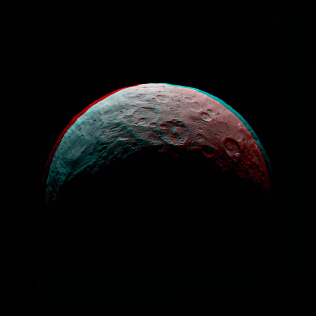
2015-05-05 | Ceres |
Dawn |
Framing Camera |
1024x1024x3 |
|
|||||
|
|
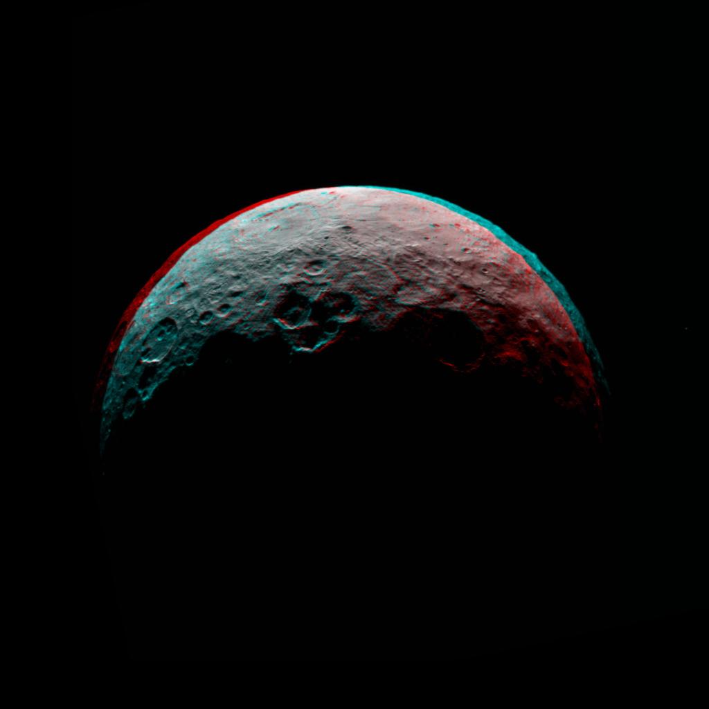
2015-05-06 | Ceres |
Dawn |
Framing Camera |
1024x1024x3 |
|
|||||
|
|
2015-05-07 | Ceres |
Dawn |
Framing Camera |
1024x1024x3 |
|
|||||
|
|
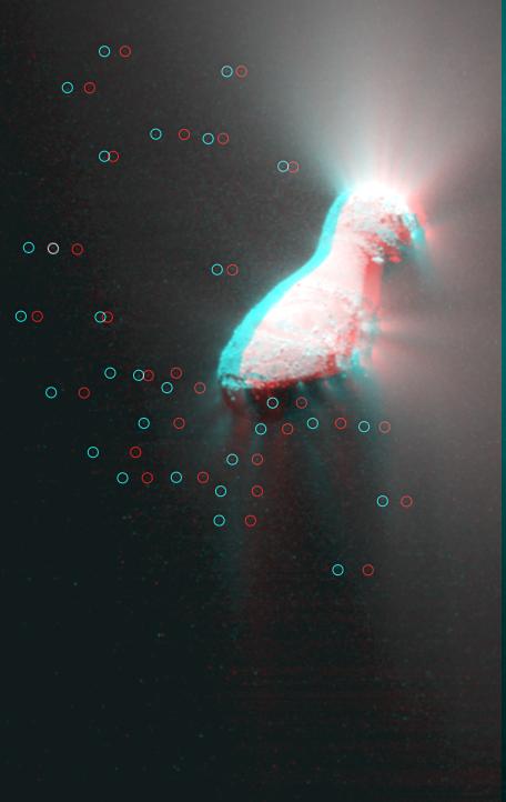
2010-11-18 | Hartley 2 |
EPOXI |
Medium Resolution Instrument (MRI) |
456x722x3 |
|
|||||
|
|
1998-05-21 | Europa |
Galileo |
Solid-State Imaging |
856x407x3 |
|
|||||
|
|
1998-12-07 | Europa |
Galileo |
Solid-State Imaging |
1152x626x3 |
|
|||||
|
|
1999-01-18 | Europa |
Galileo |
Solid-State Imaging |
1050x520x3 |
|
|||||
|
|
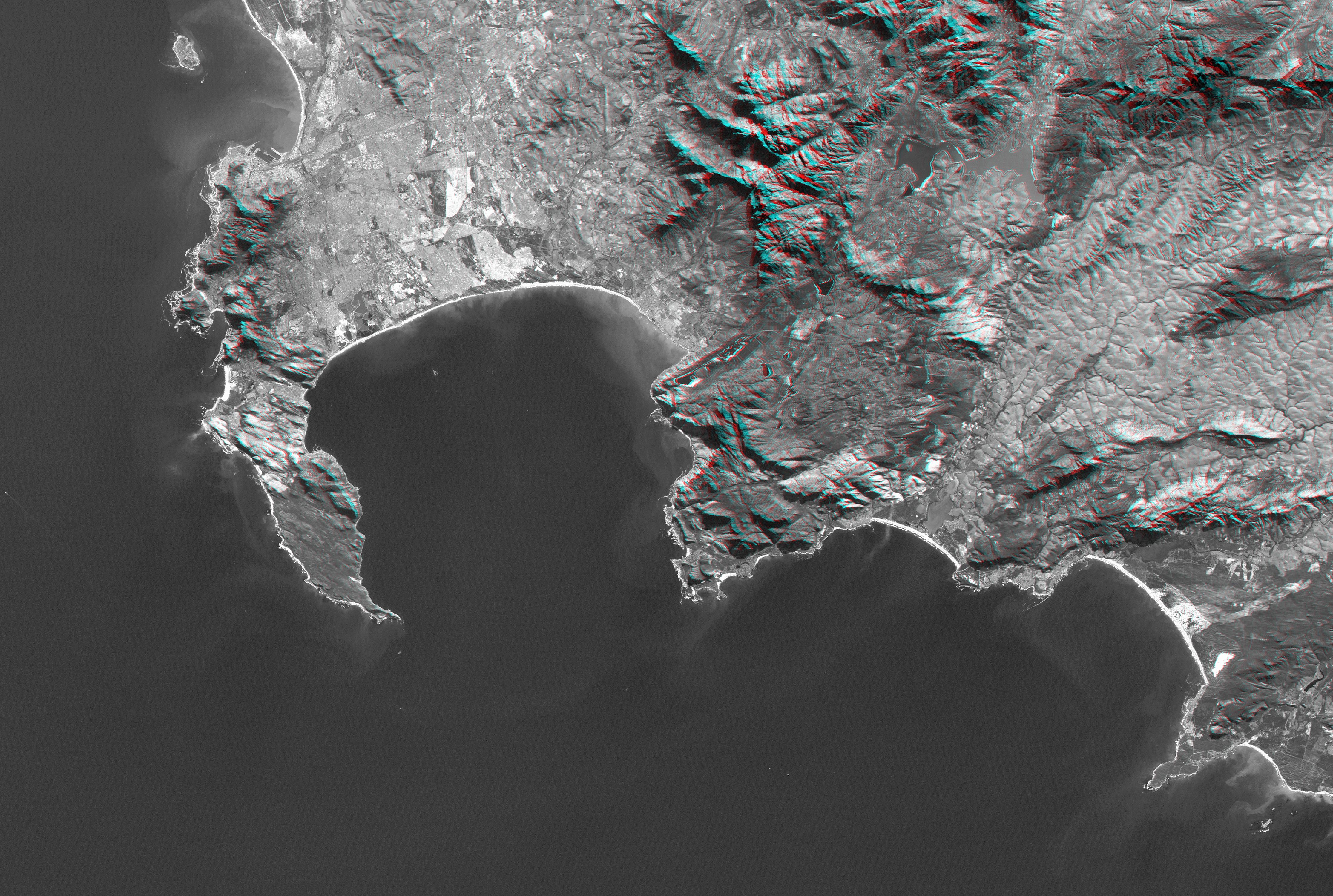
2000-02-16 | Earth |
Landsat Shuttle Radar Topography Mission (SRTM) |
C-Band Interferometric Radar Thematic Mapper |
1412x1588x3 |
|
|||||
|
|
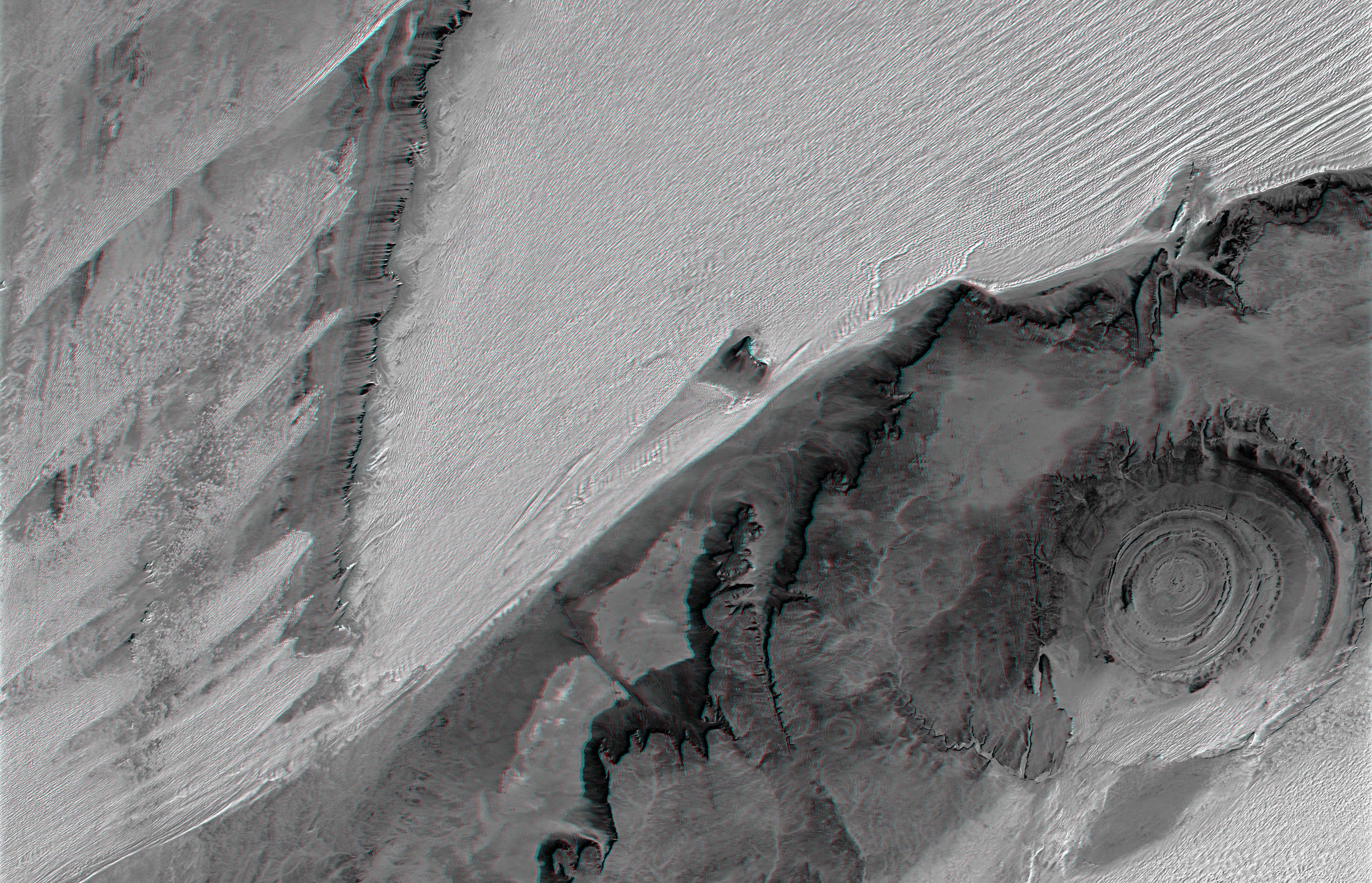
2000-02-20 | Earth |
Landsat Shuttle Radar Topography Mission (SRTM) |
C-Band Interferometric Radar Thematic Mapper |
940x658x3 |
|
|||||
|
|
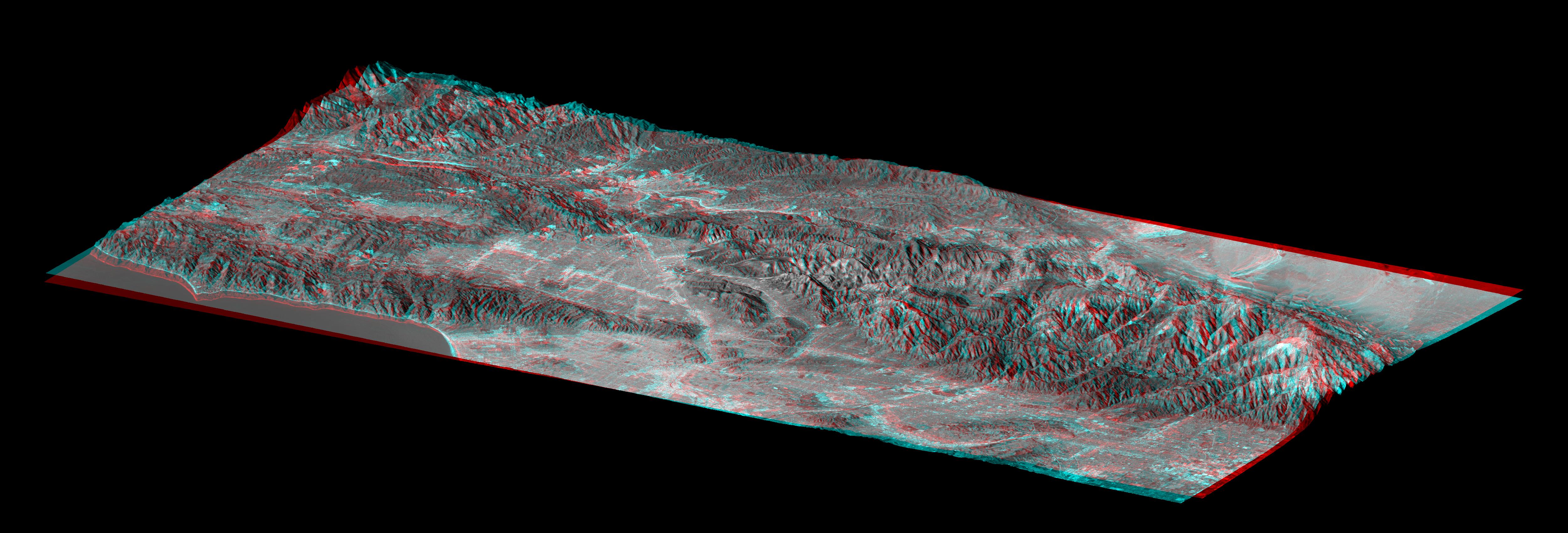
2000-03-10 | Earth |
Landsat Shuttle Radar Topography Mission (SRTM) |
C-Band Interferometric Radar Thematic Mapper |
1218x1366x3 |
|
|||||
|
|
2000-04-13 | Earth |
Landsat Shuttle Radar Topography Mission (SRTM) |
C-Band Interferometric Radar Thematic Mapper |
839x651x3 |
|
|||||
|
|
2000-05-11 | Earth |
Landsat Shuttle Radar Topography Mission (SRTM) |
C-Band Interferometric Radar Thematic Mapper |
2158x1540x3 |
|
|||||
|
|
2000-06-22 | Earth |
Landsat Shuttle Radar Topography Mission (SRTM) |
C-Band Interferometric Radar Thematic Mapper |
2920x4236x3 |
|
|||||
|
|
2000-06-29 | Earth |
Landsat Shuttle Radar Topography Mission (SRTM) |
C-Band Interferometric Radar Thematic Mapper |
506x798x3 |
|
|||||
|
|
2000-07-13 | Earth |
Landsat Shuttle Radar Topography Mission (SRTM) |
C-Band Interferometric Radar Thematic Mapper |
1631x956x3 |
|
|||||
|
|
2000-07-20 | Earth |
Landsat Shuttle Radar Topography Mission (SRTM) |
C-Band Interferometric Radar Thematic Mapper |
718x907x3 |
|
|||||
|
|
2000-07-27 | Earth |
Landsat Shuttle Radar Topography Mission (SRTM) |
C-Band Interferometric Radar Thematic Mapper |
999x1335x3 |
|
|||||
|
|
2000-08-31 | Earth |
Landsat Shuttle Radar Topography Mission (SRTM) |
C-Band Interferometric Radar Thematic Mapper |
499x801x3 |

|
|||||
|
|
2000-09-21 | Earth |
Landsat Shuttle Radar Topography Mission (SRTM) |
C-Band Interferometric Radar Thematic Mapper |
1786x2356x3 |
|
|||||
|
|
2000-10-20 | Earth |
Landsat Shuttle Radar Topography Mission (SRTM) |
C-Band Interferometric Radar Thematic Mapper |
1212x1518x3 |
|
|||||
|
|
2001-04-05 | Earth |
Landsat Shuttle Radar Topography Mission (SRTM) |
C-Band Interferometric Radar Thematic Mapper |
451x691x3 |
|
|||||
|
|
2001-05-02 | Earth |
Landsat Shuttle Radar Topography Mission (SRTM) |
C-Band Interferometric Radar Thematic Mapper |
477x745x3 |
|
|||||
|
|
2001-05-24 | Earth |
Landsat Shuttle Radar Topography Mission (SRTM) |
C-Band Interferometric Radar Thematic Mapper |
941x1304x3 |
|
|||||
|
|
2001-05-31 | Earth |
Landsat Shuttle Radar Topography Mission (SRTM) |
C-Band Interferometric Radar Thematic Mapper |
398x710x3 |
|
|||||
|
|
2002-02-01 | Earth |
Landsat Shuttle Radar Topography Mission (SRTM) |
C-Band Interferometric Radar Thematic Mapper |
1384x2022x3 |
|
|||||
|
|
2002-02-06 | Earth |
Landsat Shuttle Radar Topography Mission (SRTM) |
C-Band Interferometric Radar Thematic Mapper |
925x2385x3 |
|
|
|||||
|
|
2002-02-28 | Earth |
Landsat Shuttle Radar Topography Mission (SRTM) |
C-Band Interferometric Radar Thematic Mapper |
1958x799x3 |
|
|||||
|
|
2002-09-12 | Earth |
Landsat Shuttle Radar Topography Mission (SRTM) |
C-Band Interferometric Radar Thematic Mapper |
339x620x3 |
|
|||||
|
|
2002-09-19 | Earth |
Landsat Shuttle Radar Topography Mission (SRTM) |
C-Band Interferometric Radar Thematic Mapper |
1009x1600x3 |
|
|||||
|
|
2003-05-01 | Earth |
Landsat Shuttle Radar Topography Mission (SRTM) |
C-Band Interferometric Radar Thematic Mapper |
3262x3162x3 |
|
|||||
|
|
2003-07-03 | Earth |
Landsat Shuttle Radar Topography Mission (SRTM) |
C-Band Interferometric Radar |
2805x1705x3 |
|
|||||
|
|
2004-06-17 | Earth |
Landsat Shuttle Radar Topography Mission (SRTM) |
C-Band Interferometric Radar X-Band Radar |
4463x3000x3 |
|
|||||
|
|
2004-06-17 | Earth |
Landsat Shuttle Radar Topography Mission (SRTM) |
C-Band Interferometric Radar X-Band Radar |
5657x3645x3 |
|
|||||
|
|
2004-07-03 | Earth |
Landsat Shuttle Radar Topography Mission (SRTM) |
C-Band Radar X-Band Radar |
5000x1700x3 |
|
|||||
|
|
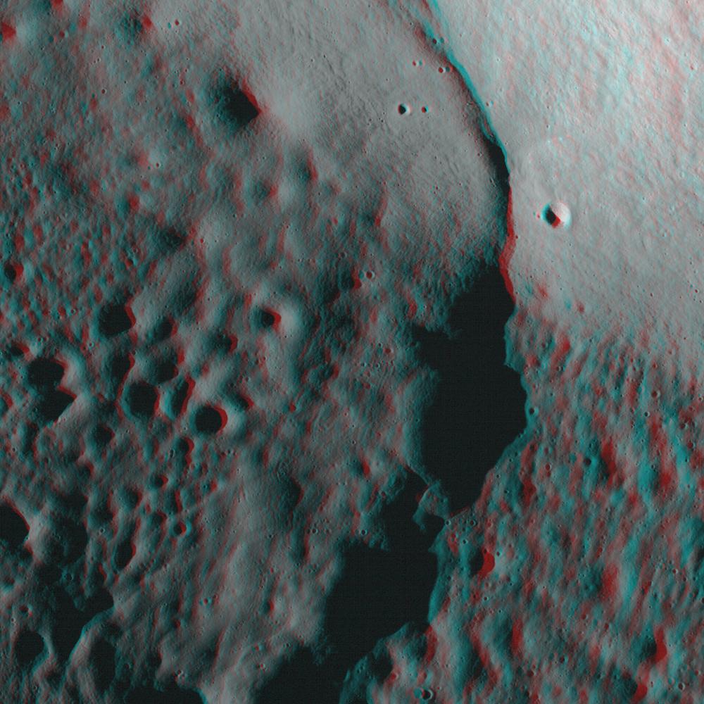
2009-07-21 | Moon |
Lunar Reconnaissance Orbiter (LRO) |
Lunar Reconnaissance Orbiter Camera (NAC) |
1000x1000x3 |
|
|||||
|
|
2010-05-05 | Moon |
Lunar Reconnaissance Orbiter (LRO) |
Lunar Reconnaissance Orbiter Camera (NAC) |
1000x1000x3 |
|
|||||
|
|
2004-01-05 | Mars |
Mars Exploration Rover (MER) |
Navigation Camera |
1892x384x3 |
|
|||||
|
|
2004-01-07 | Mars |
Mars Exploration Rover (MER) |
Panoramic Camera |
3322x2934x3 |
|
|||||
|
|
2004-01-07 | Mars |
Mars Exploration Rover (MER) |
Panoramic Camera |
863x428x3 |
|
|||||
|
|
2004-01-10 | Mars |
Mars Exploration Rover (MER) |
Navigation Camera |
7695x3320x3 |
|
|||||
|
|
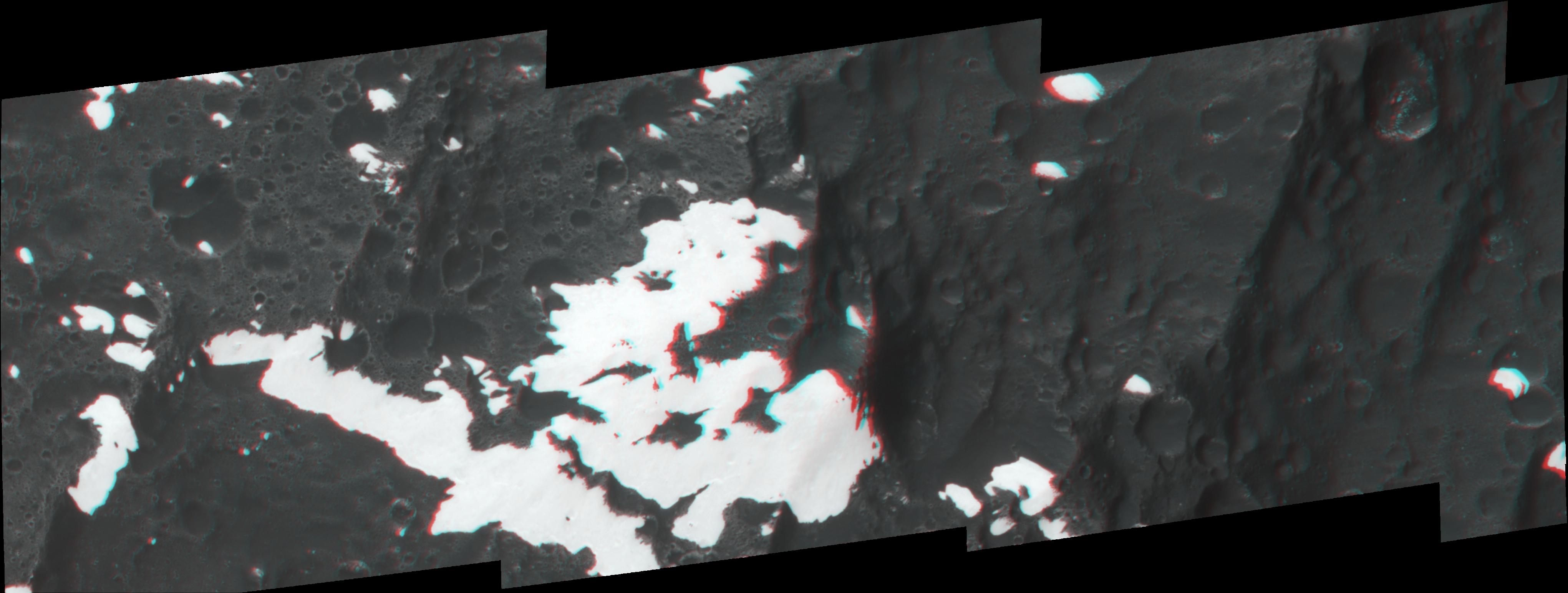
2004-01-16 | Mars |
Mars Exploration Rover (MER) |
Microscopic Imager |
970x843x3 |
|
|||||
|
|
2004-01-19 | Mars |
Mars Exploration Rover (MER) |
Hazcam |
1024x1024x3 |
|
|||||
|
|
2004-01-23 | Mars |
Mars Exploration Rover (MER) |
Panoramic Camera |
995x761x3 |
|
|||||
|
|
2004-01-27 | Mars |
Mars Exploration Rover (MER) |
Panoramic Camera |
7450x1122x1 |
|
|||||
|
|
2004-01-31 | Mars |
Mars Exploration Rover (MER) |
Hazcam |
1024x1024x3 |
|
|||||
|
|
2004-02-02 | Mars |
Mars Exploration Rover (MER) |
Hazcam |
954x1024x3 |
|
|||||
|
|
2004-02-06 | Mars |
Mars Exploration Rover (MER) |
Hazcam |
1024x865x3 |
|
|||||
|
|
2004-02-10 | Mars |
Mars Exploration Rover (MER) |
Navigation Camera |
968x1008x3 |
|
|||||
|
|
2004-02-12 | Mars |
Mars Exploration Rover (MER) |
Moessbauer Spectrometer |
974x974x3 |
|
|||||
|
|
2004-02-12 | Mars |
Mars Exploration Rover (MER) |
Moessbauer Spectrometer |
974x974x3 |
|
|||||
|
|
2004-02-13 | Mars |
Mars Exploration Rover (MER) |
Microscopic Imager Rock Abrasion Tool (RAT) |
974x974x3 |
|
|||||
|
|
2004-02-13 | Mars |
Mars Exploration Rover (MER) |
Microscopic Imager Rock Abrasion Tool (RAT) |
974x974x3 |
|
|||||
|
|
2004-04-27 | Mars |
Mars Exploration Rover (MER) |
Navigation Camera |
7704x1236x3 |
|
|||||
|
|
2004-02-13 | Mars |
Mars Exploration Rover (MER) |
Microscopic Imager |
974x974x3 |
|
|||||
 |
 |
|
|
|

|
|
| 1-100 | 101-200 | 201-300 | 301-400 | 401-500 |
| Currently displaying images: 1 - 100 of 488 |