|
Your search criteria found 7 images Feature Name |
| My List |
Addition Date
|
Target | Mission | Instrument | Size |

|
2001-09-05 | Earth |
Terra |
MISR |
1223x1208x3 |

|
|||||
|
|
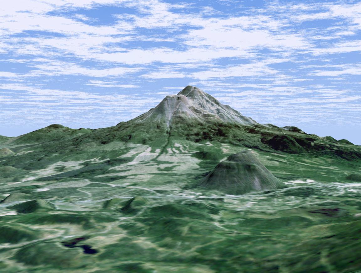
2002-01-22 | Earth |
Landsat Shuttle Radar Topography Mission (SRTM) |
C-Band Interferometric Radar Thematic Mapper |
1152x870x3 |
|
|||||
|
|
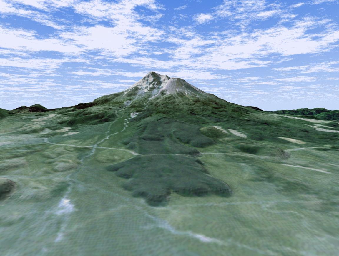
2002-01-31 | Earth |
Landsat Shuttle Radar Topography Mission (SRTM) |
C-Band Interferometric Radar Thematic Mapper |
1152x870x3 |
|
|||||
|
|
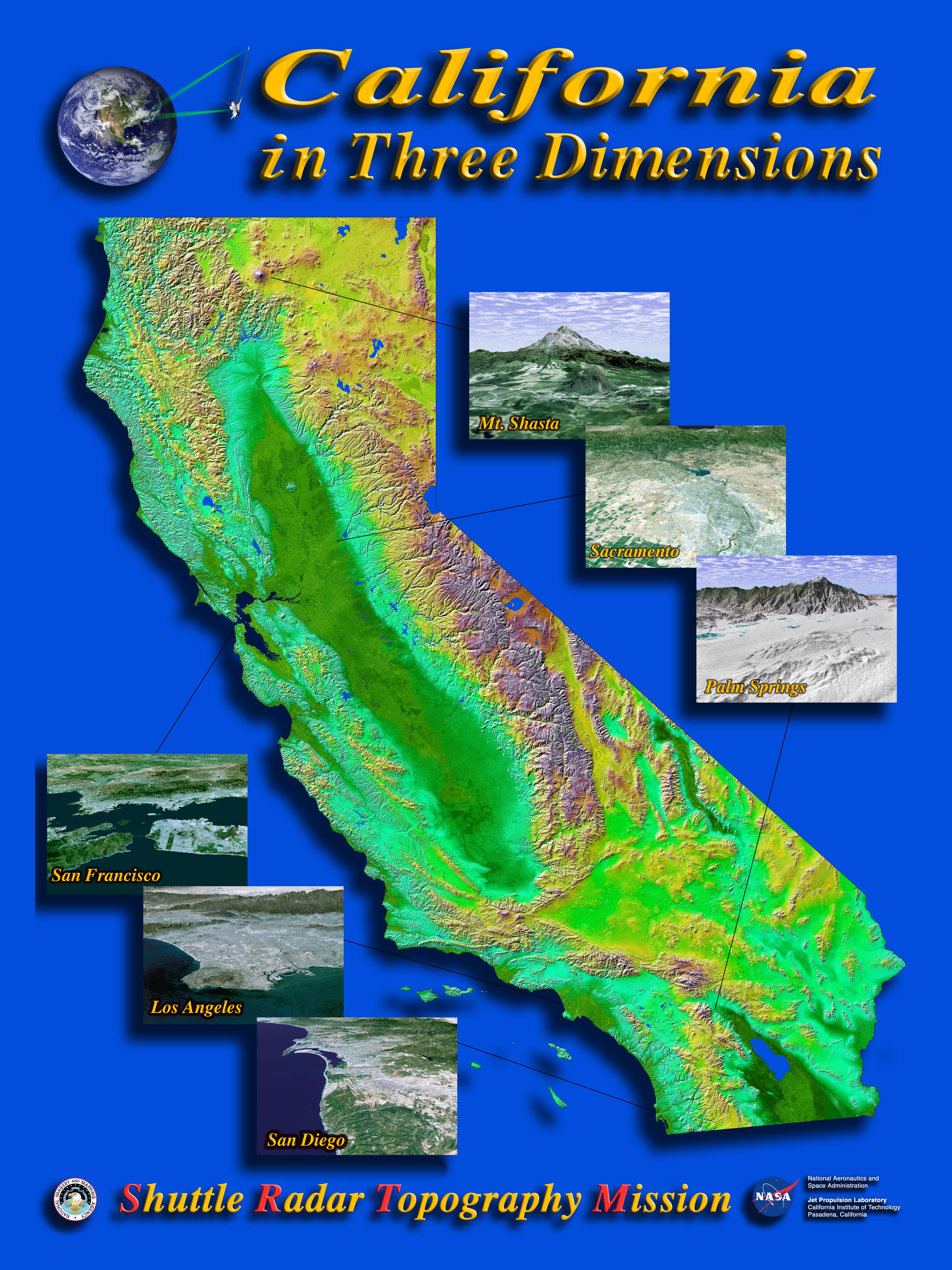
2002-04-04 | Earth |
Shuttle Radar Topography Mission (SRTM) |
C-Band Interferometric Radar |
6000x8000x3 |

|
|||||
|
|
2008-07-02 | Earth |
Terra |
MISR |
1267x1187x3 |

|
|||||
|
|
2015-06-17 | Earth |
Terra |
ASTER |
535x365x3 |
|
|||||
|
|
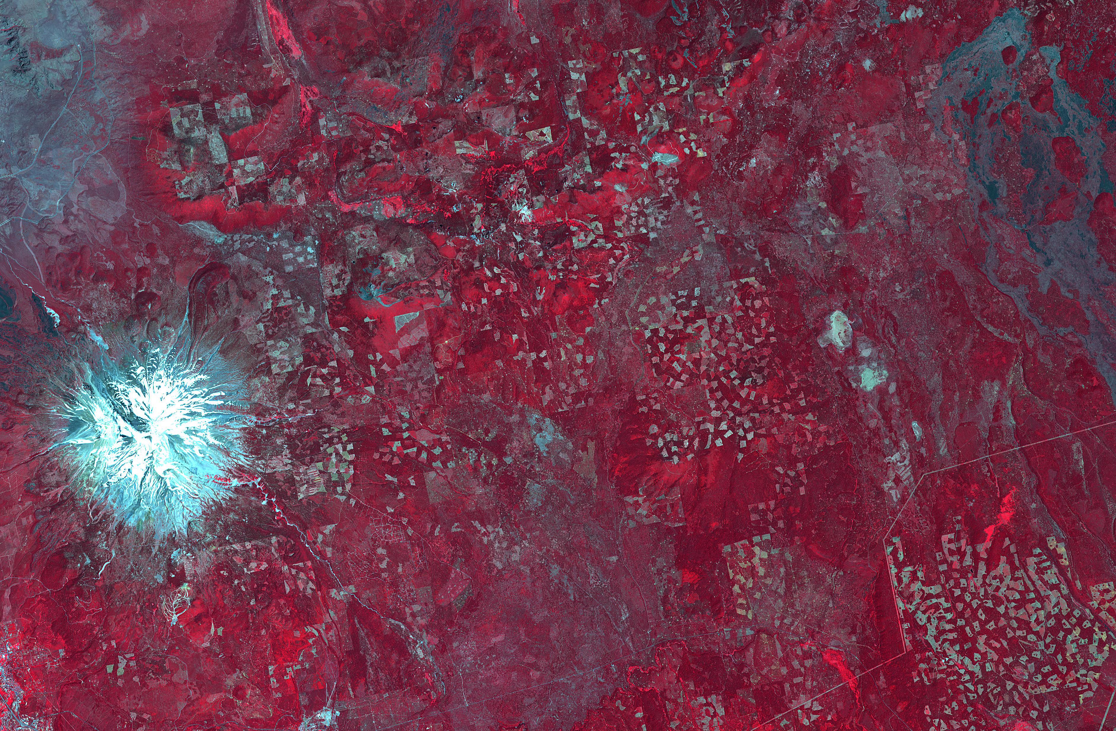
2018-07-17 | Earth |
Terra |
ASTER |
3768x2469x3 |
|
|||||
| Currently displaying images: 1 - 7 of 7 |