|
Your search criteria found 3920 images Feature Name |
| My List |
Addition Date | Target | Mission |
Instrument
|
Size |

|
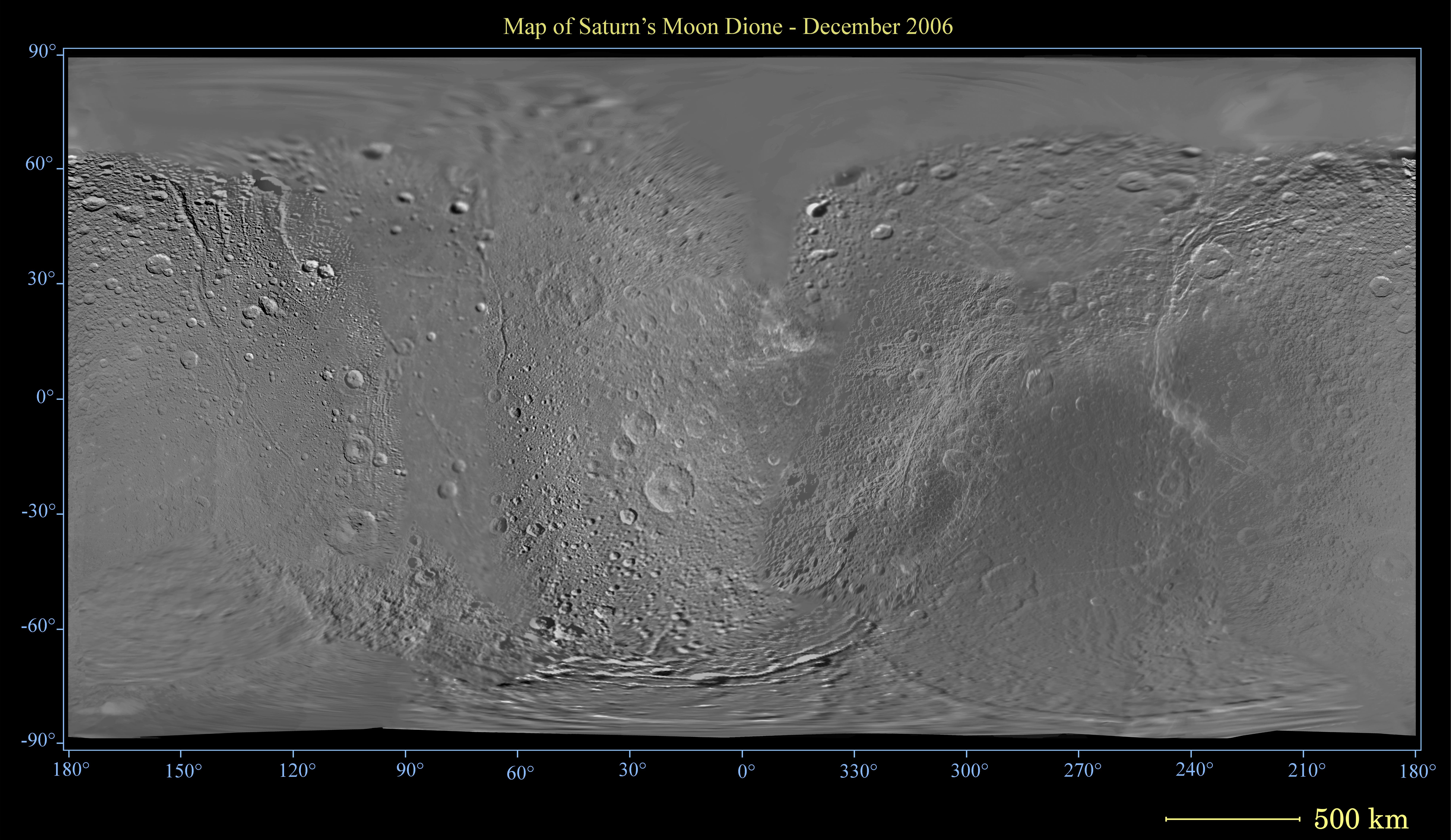
2006-12-29 | Dione |
Cassini-Huygens |
Imaging Science Subsystem |
7944x4601x3 |
|
|||||
|
|
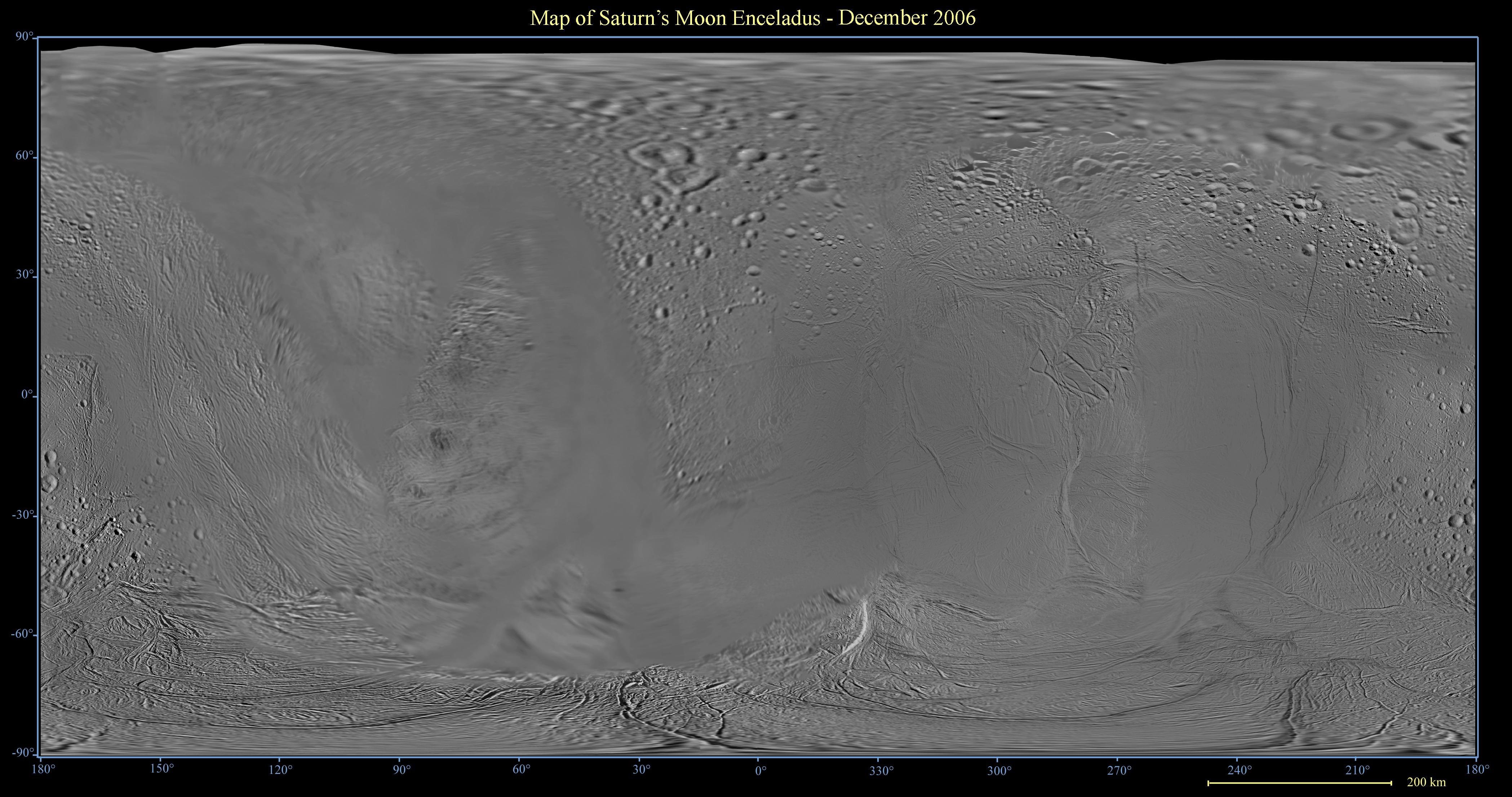
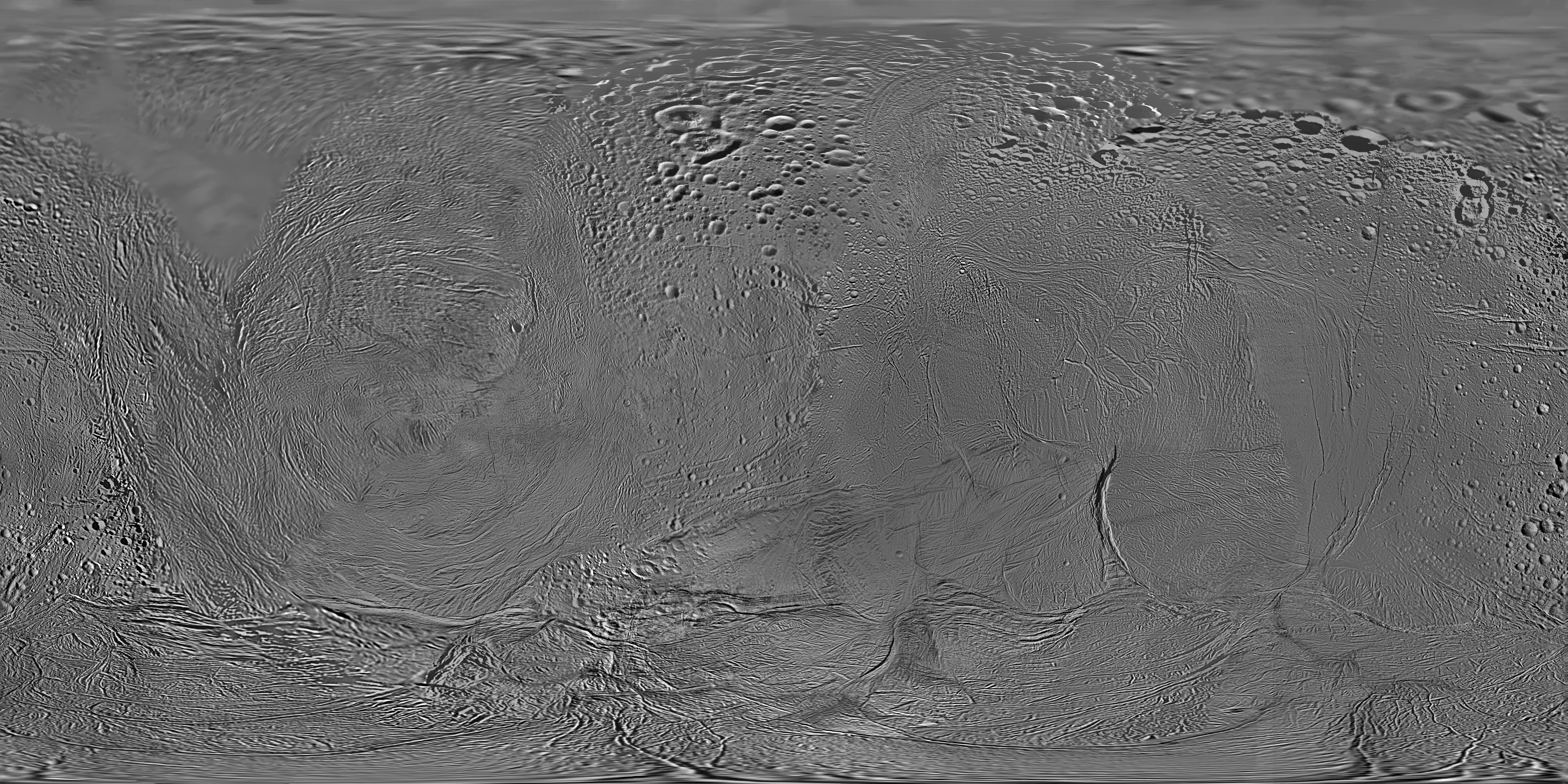
2006-12-29 | Enceladus |
Cassini-Huygens |
Imaging Science Subsystem |
4195x2211x3 |
|
|||||
|
|
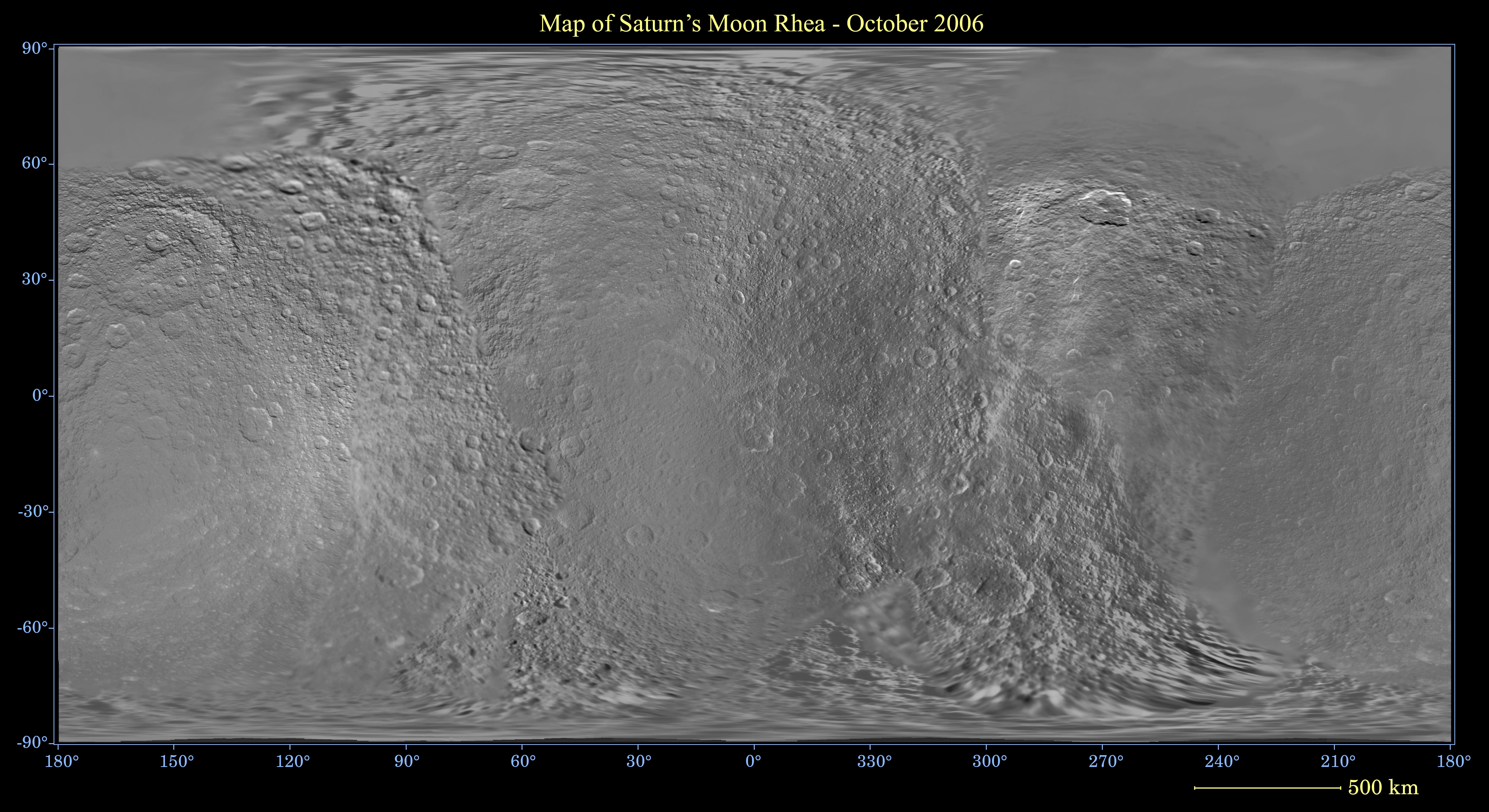
2006-12-29 | Rhea |
Cassini-Huygens |
Imaging Science Subsystem |
7700x4200x3 |
|
|||||
|
|
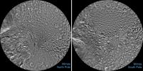
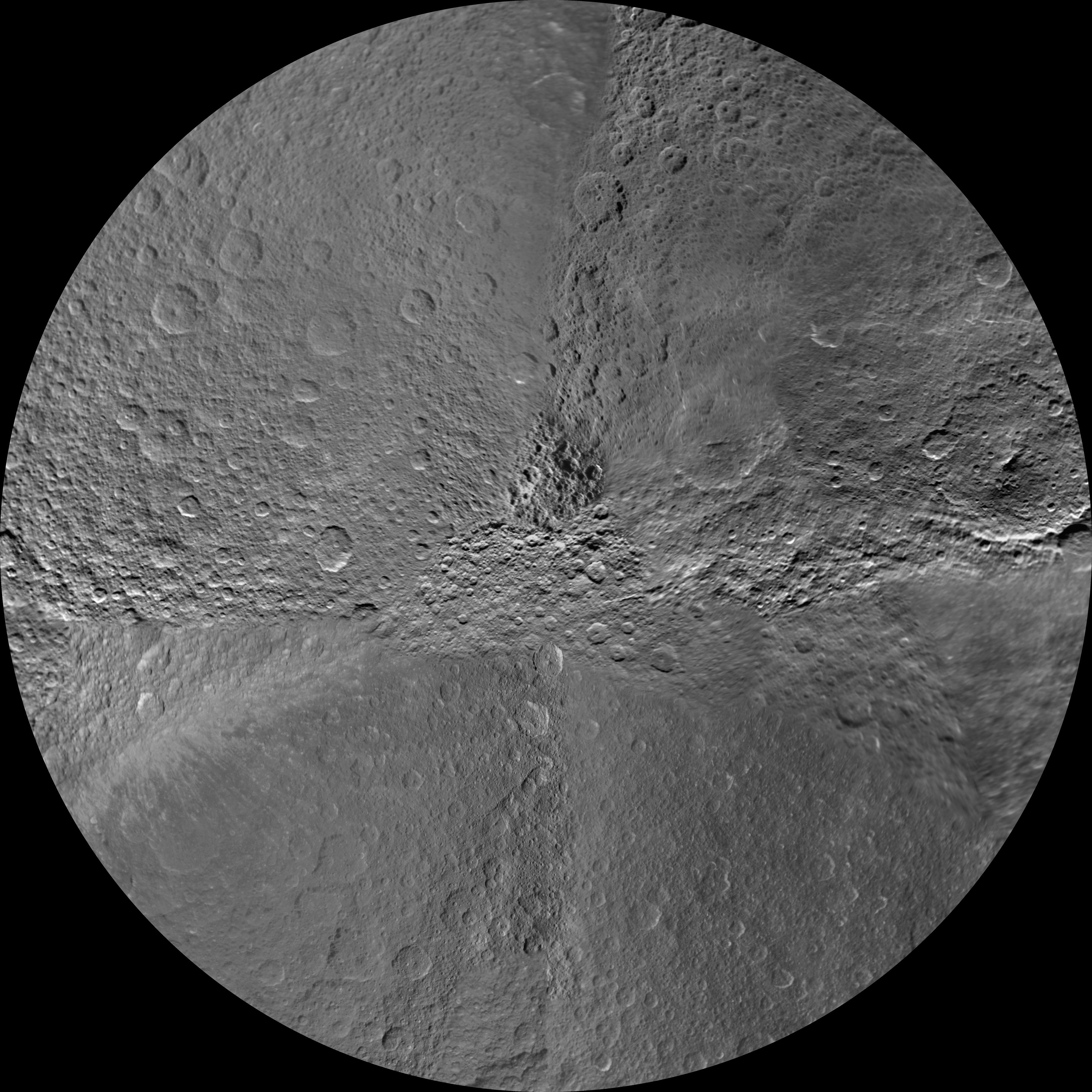
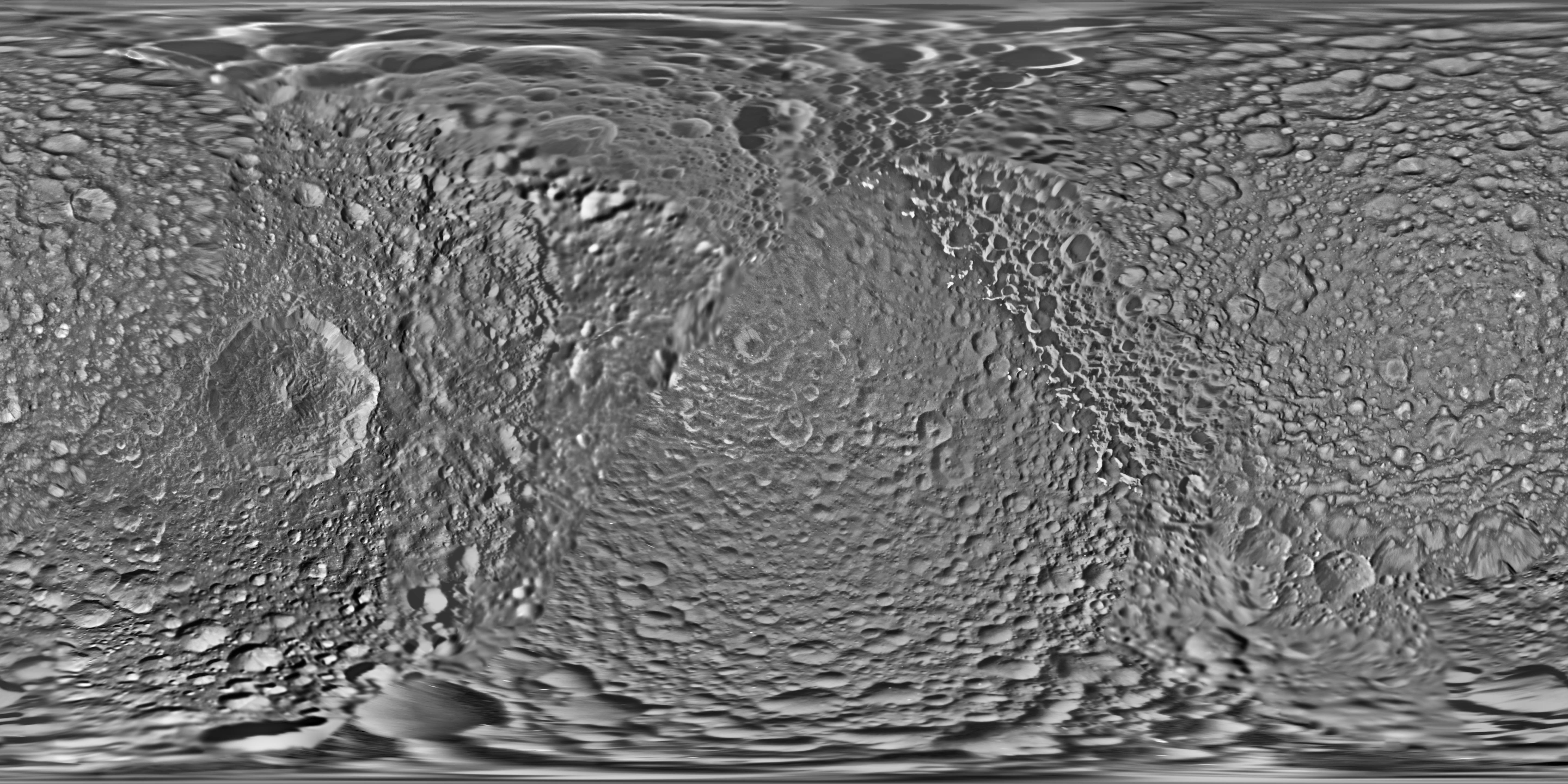
2006-12-29 | Mimas |
Cassini-Huygens |
Imaging Science Subsystem |
3165x1878x3 |
|
|||||
|
|
2006-12-29 | Tethys |
Cassini-Huygens |
Imaging Science Subsystem |
12068x6408x3 |
|
|||||
|
|
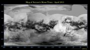
2006-12-29 | Titan |
Cassini-Huygens |
Imaging Science Subsystem |
8748x4860x3 |
|
|||||
|
|
2007-05-23 | S Rings |
Cassini-Huygens |
Imaging Science Subsystem |
1018x970x1 |

|
|||||
|
|
2007-10-24 | S Rings |
Cassini-Huygens |
Imaging Science Subsystem |
1024x573x1 |

|
|||||
|
|
2007-09-05 | Iapetus |
Cassini-Huygens |
Imaging Science Subsystem |
1180x809x3 |
|
|||||
|
|
2007-10-15 | Titan |
Cassini-Huygens |
Imaging Science Subsystem |
4374x2430x3 |
|
|||||
|
|
2007-10-24 | S Rings |
Cassini-Huygens |
Imaging Science Subsystem |
878x878x1 |
|
|||||
|
|
2008-02-20 | Tethys |
Cassini-Huygens |
Imaging Science Subsystem |
12068x6408x3 |
|
|||||
|
|
2008-05-20 | Dione |
Cassini-Huygens |
Imaging Science Subsystem |
6204x3522x3 |
|
|||||
|
|
2008-08-06 | Tethys |
Cassini-Huygens |
Imaging Science Subsystem |
12068x6408x3 |
|
|||||
|
|
2008-08-06 | Enceladus |
Cassini-Huygens |
Imaging Science Subsystem |
3793x2002x3 |
|
|||||
|
|
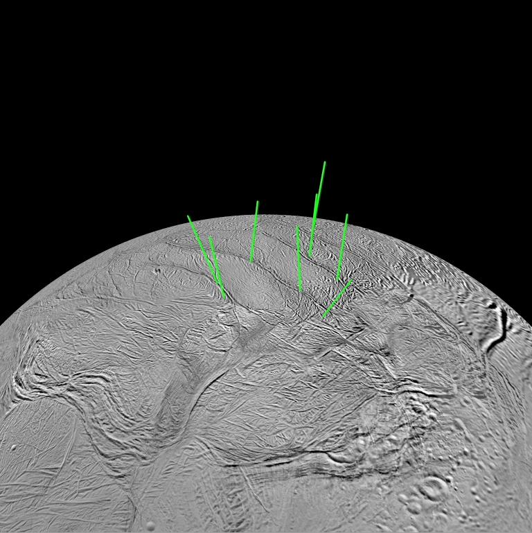
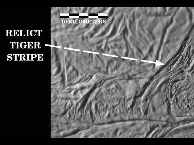
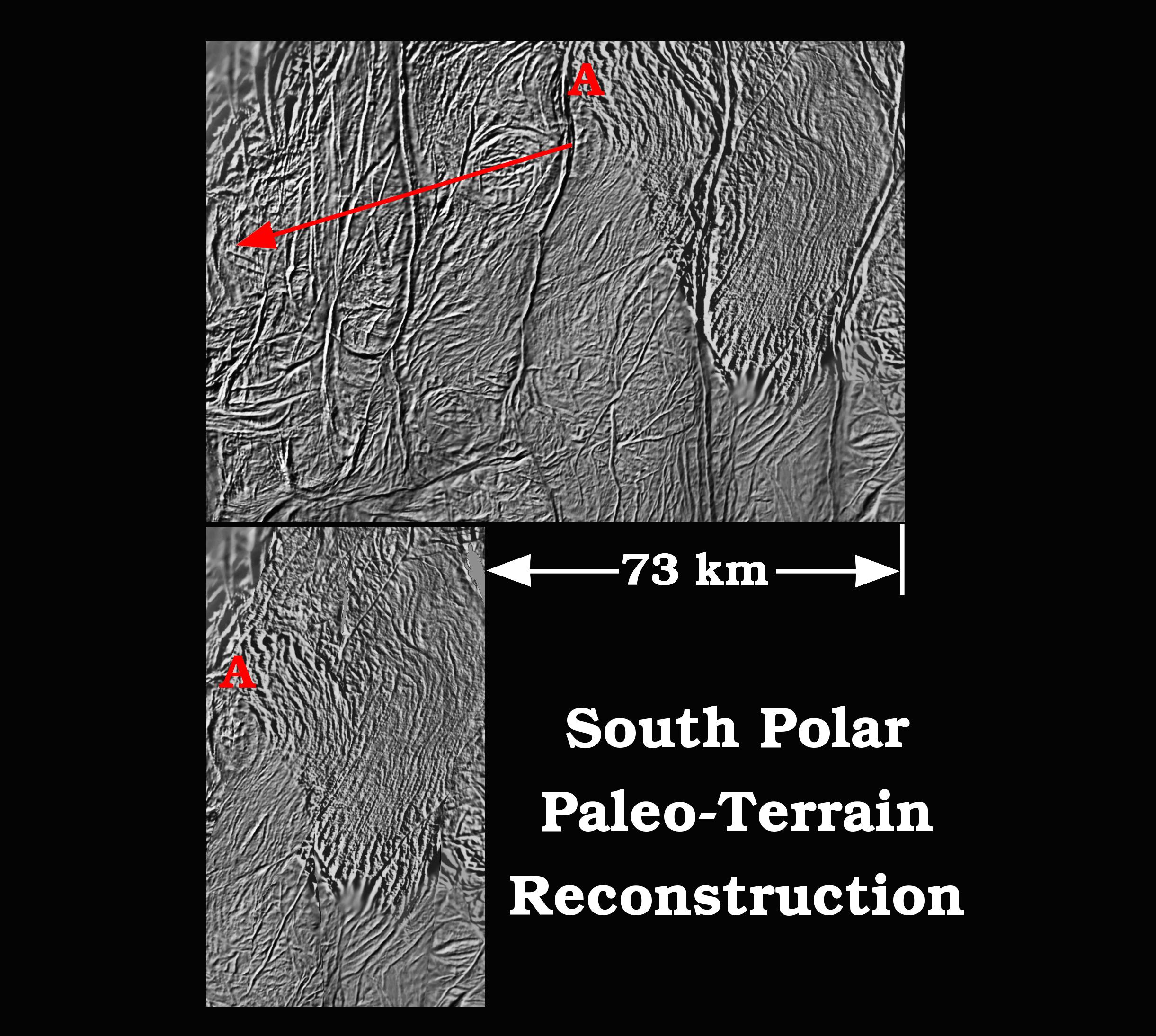
2008-12-15 | Enceladus |
Cassini-Huygens |
Imaging Science Subsystem |
9159x9159x1 |
|
|||||
|
|
2008-12-15 | Enceladus |
Cassini-Huygens |
Imaging Science Subsystem |
768x769x3 |
|
|||||
|
|
2008-12-15 | Enceladus |
Cassini-Huygens |
Imaging Science Subsystem |
640x479x1 |
|
|||||
|
|
2008-12-15 | Enceladus |
Cassini-Huygens |
Imaging Science Subsystem |
1600x1200x3 |
|
|||||
|
|
2008-12-15 | Enceladus |
Cassini-Huygens |
Imaging Science Subsystem |
1600x1200x1 |
|
|||||
|
|
2008-12-15 | Enceladus |
Cassini-Huygens |
Imaging Science Subsystem |
2442x2189x3 |
|
|||||
|
|
2009-01-22 | Enceladus |
Cassini-Huygens |
Imaging Science Subsystem |
3793x2002x3 |
|
|||||
|
|
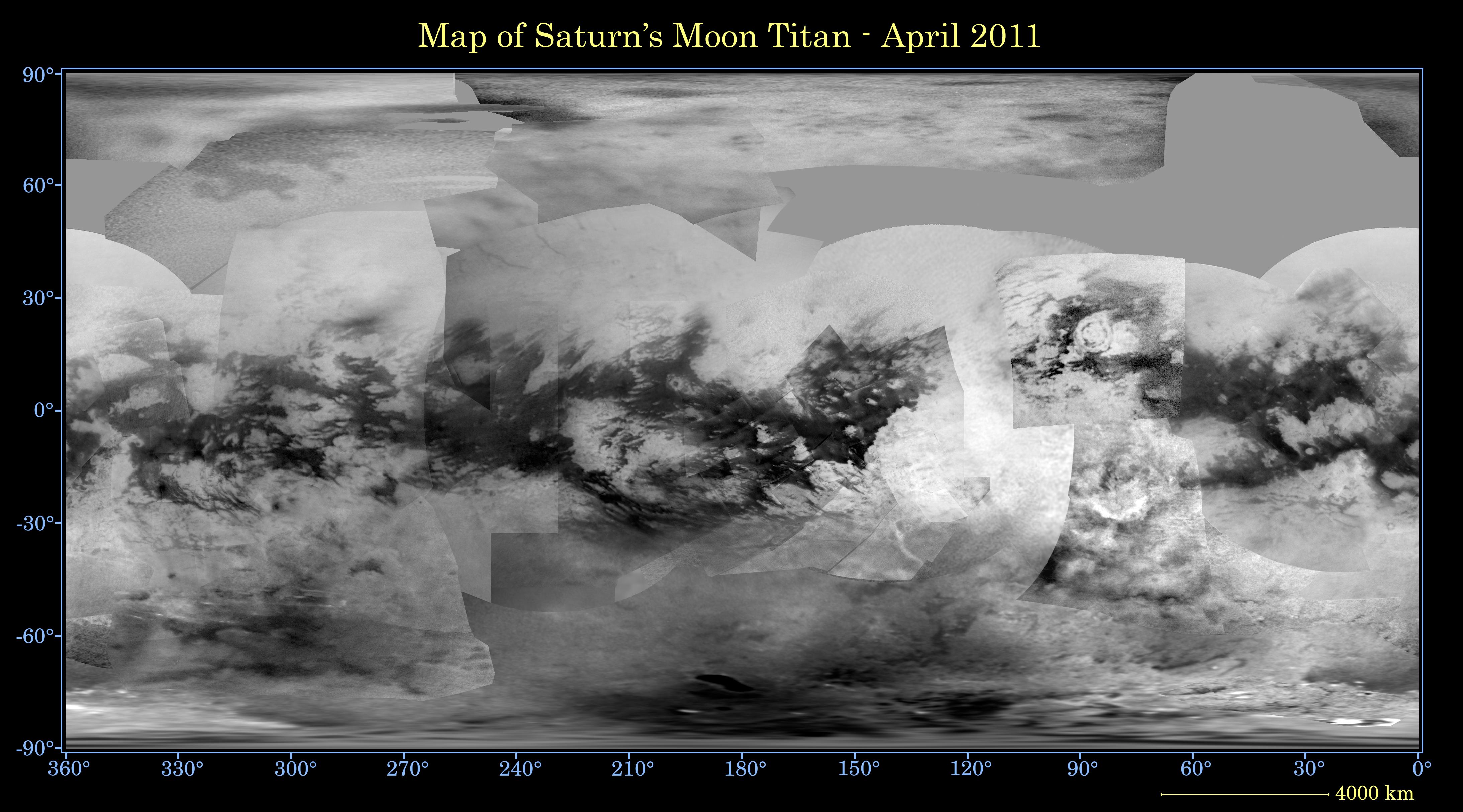
2009-01-29 | Titan |
Cassini-Huygens |
Imaging Science Subsystem |
1950x1935x1 |
|
|||||
|
|
2009-02-26 | Titan |
Cassini-Huygens |
Imaging Science Subsystem |
4374x2430x3 |
|
|||||
|
|
2009-04-10 | Titan |
Cassini-Huygens |
Imaging Science Subsystem |
1935x1009x3 |

|
|||||
|
|
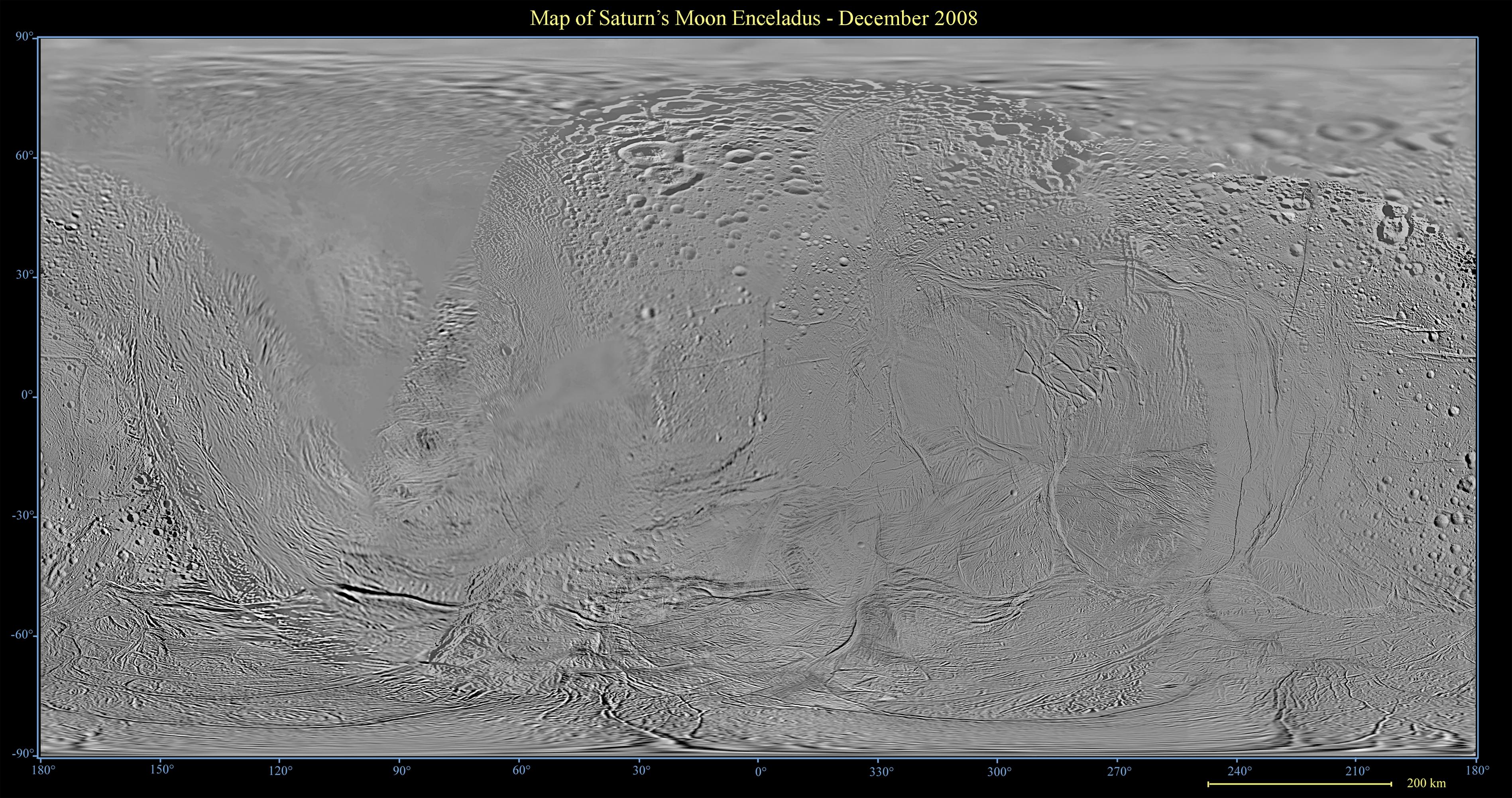
2009-10-30 | Enceladus |
Cassini-Huygens |
Imaging Science Subsystem |
14960x7860x3 |
|
|||||
|
|
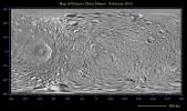
2010-03-01 | Rhea |
Cassini-Huygens |
Imaging Science Subsystem |
780x584x3 |
|
|||||
|
|
2010-03-01 | Rhea |
Cassini-Huygens |
Imaging Science Subsystem |
780x584x3 |
|
|||||
|
|
2010-03-03 | Tethys |
Cassini-Huygens |
Imaging Science Subsystem |
2880x1440x1 |
|
|||||
|
|
2010-03-03 | Rhea |
Cassini-Huygens |
Imaging Science Subsystem |
3667x3667x1 |
|
|||||
|
|
2010-03-03 | Rhea |
Cassini-Huygens |
Imaging Science Subsystem |
3667x3667x1 |
|
|||||
|
|
2010-03-03 | Enceladus |
Cassini-Huygens |
Imaging Science Subsystem |
7200x3600x1 |
|
|||||
|
|
2010-04-15 | Dione |
Cassini-Huygens |
Imaging Science Subsystem |
23040x11520x1 |
|
|||||
|
|
2010-04-15 | Dione |
Cassini-Huygens |
Imaging Science Subsystem |
14667x14667x1 |
|
|||||
|
|
2010-04-15 | Dione |
Cassini-Huygens |
Imaging Science Subsystem |
14667x14667x1 |
|
|||||
|
|
2011-10-26 | Titan |
Cassini-Huygens |
Imaging Science Subsystem |
4374x2430x3 |
|
|||||
|
|
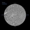
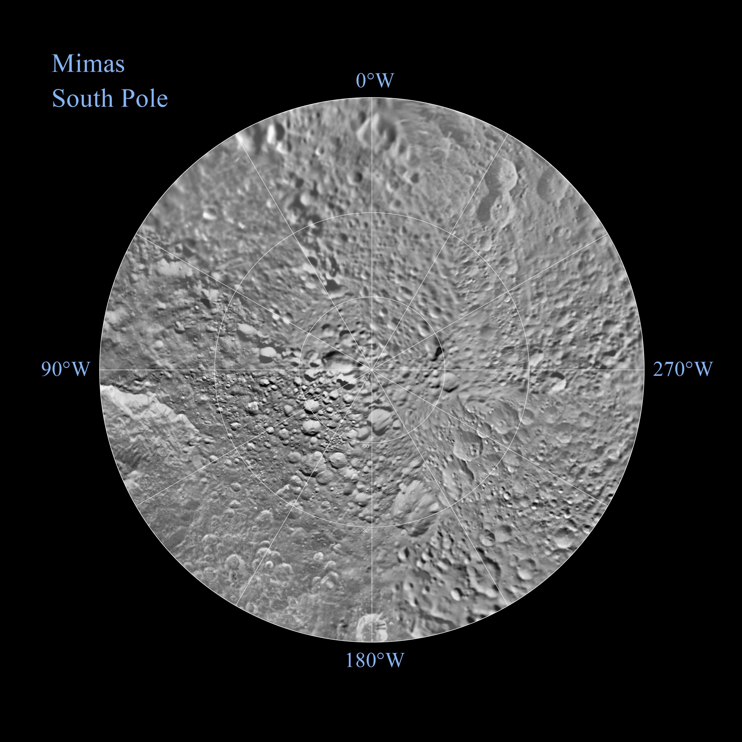
2010-05-13 | Mimas |
Cassini-Huygens Voyager |
Imaging Science Subsystem |
6330x3756x3 |
|
|||||
|
|
2010-05-13 | Mimas |
Cassini-Huygens Voyager |
Imaging Science Subsystem |
2551x2551x3 |
|
|||||
|
|
2010-05-13 | Mimas |
Cassini-Huygens Voyager |
Imaging Science Subsystem |
2551x2551x3 |
|
|||||
|
|
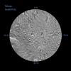
2010-07-28 | Mimas |
Cassini-Huygens |
Imaging Science Subsystem |
2669x2126x1 |
|
|||||
|
|
2010-10-04 | Enceladus |
Cassini-Huygens |
Imaging Science Subsystem |
4167x3125x3 |
|
|||||
|
|
2010-10-07 | Rhea |
Cassini-Huygens |
Imaging Science Subsystem |
1938x629x3 |
|
|||||
|
|
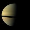
2010-10-07 | Saturn |
Cassini-Huygens |
Imaging Science Subsystem |
1454x4068x3 |
|
|
|||||
|
|
2010-10-07 | Rhea |
Cassini-Huygens |
Imaging Science Subsystem |
3108x1047x3 |
|
|||||
|
|
2010-10-07 | Saturn |
Cassini-Huygens |
Imaging Science Subsystem |
3048x1551x1 |
|
|||||
|
|
2010-10-07 | Mimas |
Cassini-Huygens |
Imaging Science Subsystem |
740x740x3 |
|
|||||
|
|
2010-11-30 | Tethys |
Cassini-Huygens |
Imaging Science Subsystem |
11520x5760x1 |
|
|||||
|
|
2010-11-30 | Tethys |
Cassini-Huygens |
Imaging Science Subsystem |
7333x7333x1 |
|
|||||
|
|
2010-11-30 | Tethys |
Cassini-Huygens |
Imaging Science Subsystem |
7333x7333x1 |
|
|||||
|
|
2010-12-14 | Tethys |
Cassini-Huygens |
Imaging Science Subsystem |
2728x1374x3 |
|
|||||
|
|
2010-12-21 | Rhea |
Cassini-Huygens |
Imaging Science Subsystem |
11520x5760x1 |
|
|||||
|
|
2010-12-21 | Rhea |
Cassini-Huygens |
Imaging Science Subsystem |
7334x7334x1 |
|
|||||
|
|
2010-12-21 | Rhea |
Cassini-Huygens |
Imaging Science Subsystem |
7334x7334x1 |

|
|||||
|
|
2011-02-18 | Dione |
Cassini-Huygens |
Imaging Science Subsystem |
23040x11520x1 |
|
|||||
|
|
2011-05-02 | Rhea |
Cassini-Huygens |
Imaging Science Subsystem |
7334x7334x1 |
|
|||||
|
|
2011-05-02 | Rhea |
Cassini-Huygens |
Imaging Science Subsystem |
7334x7334x1 |
|
|||||
|
|
2011-10-05 | Enceladus |
Cassini-Huygens |
Imaging Science Subsystem |
1024x1024x1 |
|
|||||
|
|
2011-11-17 | Saturn |
Cassini-Huygens |
Imaging Science Subsystem |
855x855x3 |
|
|||||
|
|
2011-11-17 | Saturn |
Cassini-Huygens |
Imaging Science Subsystem |
2585x1720x3 |
|
|||||
|
|
2012-04-26 | Phoebe |
Cassini-Huygens |
Imaging Science Subsystem |
1235x927x1 |

|
|||||
|
|
2012-05-23 | Dione |
Cassini-Huygens |
Imaging Science Subsystem |
12405x7043x3 |
|
|||||
|
|
2012-07-10 | Titan |
Cassini-Huygens |
Imaging Science Subsystem |
1422x768x3 |
|
|||||
|
|
2012-08-16 | Mimas |
Cassini-Huygens |
Imaging Science Subsystem |
5760x2880x1 |
|
|||||
|
|
2012-08-16 | Mimas |
Cassini-Huygens |
Imaging Science Subsystem |
3666x3666x1 |
|
|||||
|
|
2012-08-16 | Rhea |
Cassini-Huygens |
Imaging Science Subsystem |
7334x7334x1 |
|
|||||
|
|
2012-08-16 | Rhea |
Cassini-Huygens |
Imaging Science Subsystem |
7334x7334x1 |
|
|||||
|
|
2012-10-31 | Titan |
Cassini-Huygens |
Imaging Science Subsystem |
1922x924x1 |
|
|||||
|
|
2012-11-14 | Tethys |
Cassini-Huygens |
Imaging Science Subsystem |
11520x5760x1 |

|
|||||
|
|
2013-04-11 | Enceladus |
Cassini-Huygens |
Imaging Science Subsystem |
7480x3930x3 |
|
|||||
|
|
2013-05-29 | Dione |
Cassini-Huygens |
Imaging Science Subsystem |
1591x1959x3 |
|
|||||
|
|
2013-07-22 | Earth |
Cassini-Huygens |
Imaging Science Subsystem |
984x984x3 |

|
|||||
|
|
2013-10-23 | Titan |
Cassini-Huygens |
Imaging Science Subsystem |
1777x1777x1 |

|
|||||
|
|
2013-10-23 | Titan |
Cassini-Huygens |
Imaging Science Subsystem |
758x1502x1 |
|
|||||
|
|
2013-10-23 | Titan |
Cassini-Huygens |
Imaging Science Subsystem |
1401x1990x1 |
|
|||||
|
|
2013-10-25 | Saturn |
Cassini-Huygens |
Imaging Science Subsystem |
3600x2700x3 |
|
|||||
|
|
2014-04-03 | Enceladus |
Cassini-Huygens Deep Space Network (DSN) |
Imaging Science Subsystem |
4992x5001x3 |
|
|||||
|
|
2014-07-28 | Enceladus |
Cassini-Huygens |
Imaging Science Subsystem |
1863x1863x3 |
|
|||||
|
|
2014-08-12 | Titan |
Cassini-Huygens |
Imaging Science Subsystem |
727x727x1 |
|
|||||
|
|
2014-08-12 | Titan |
Cassini-Huygens |
Imaging Science Subsystem |
1307x784x1 |
|
|||||
|
|
2014-11-04 | Dione |
Cassini-Huygens |
Imaging Science Subsystem |
14134x7067x3 |
|
|||||
|
|
2014-11-04 | Enceladus |
Cassini-Huygens |
Imaging Science Subsystem |
15960x7980x3 |
|
|||||
|
|
2014-11-04 | Iapetus |
Cassini-Huygens |
Imaging Science Subsystem |
11741x5871x3 |
|
|||||
|
|
2014-11-04 | Mimas |
Cassini-Huygens |
Imaging Science Subsystem |
6356x3178x3 |
|
|||||
|
|
2014-11-04 | Rhea |
Cassini-Huygens |
Imaging Science Subsystem |
12015x6008x3 |
|
|||||
|
|
2014-11-04 | Tethys |
Cassini-Huygens |
Imaging Science Subsystem |
13467x6734x3 |
|
|||||
|
|
2015-04-14 | Enceladus |
Cassini-Huygens |
Imaging Science Subsystem |
1024x1024x1 |
|
|||||
|
|
2015-05-06 | Enceladus |
Cassini-Huygens |
Imaging Science Subsystem |
1278x719x3 |
|
|||||
|
|
2015-05-06 | Enceladus |
Cassini-Huygens |
Imaging Science Subsystem |
2046x1022x3 |

|
|||||
|
|
2015-07-27 | Tethys |
Cassini-Huygens |
Imaging Science Subsystem |
1024x1024x3 |

|
|||||
|
|
2015-07-29 | Tethys |
Cassini-Huygens |
Imaging Science Subsystem |
2561x1824x3 |
|
|||||
|
|
2015-10-09 | Titan |
Cassini-Huygens |
Imaging Science Subsystem |
1966x1966x1 |
|
|||||
|
|
2015-10-09 | Titan |
Cassini-Huygens |
Imaging Science Subsystem |
4374x2430x3 |
|
|||||
|
|
2015-10-26 | Enceladus |
Cassini-Huygens |
Imaging Science Subsystem |
1275x719x1 |
|
|||||
|
|
2016-08-29 | Titan |
Cassini-Huygens |
Imaging Science Subsystem |
8546x4442x3 |
|
|||||
|
|
2016-12-21 | Titan |
Cassini-Huygens |
Imaging Science Subsystem |
2002x1781x3 |
|
|||||
|
|
2017-04-20 | Earth |
Cassini-Huygens |
Imaging Science Subsystem |
1020x1020x1 |
|
|||||
|
|
2017-05-09 | Titan |
Cassini-Huygens |
Imaging Science Subsystem |
1041x1041x1 |
|
|||||
|
|
2017-05-30 | Enceladus |
Cassini-Huygens |
Imaging Science Subsystem |
2400x1200x3 |
|
|||||
|
|
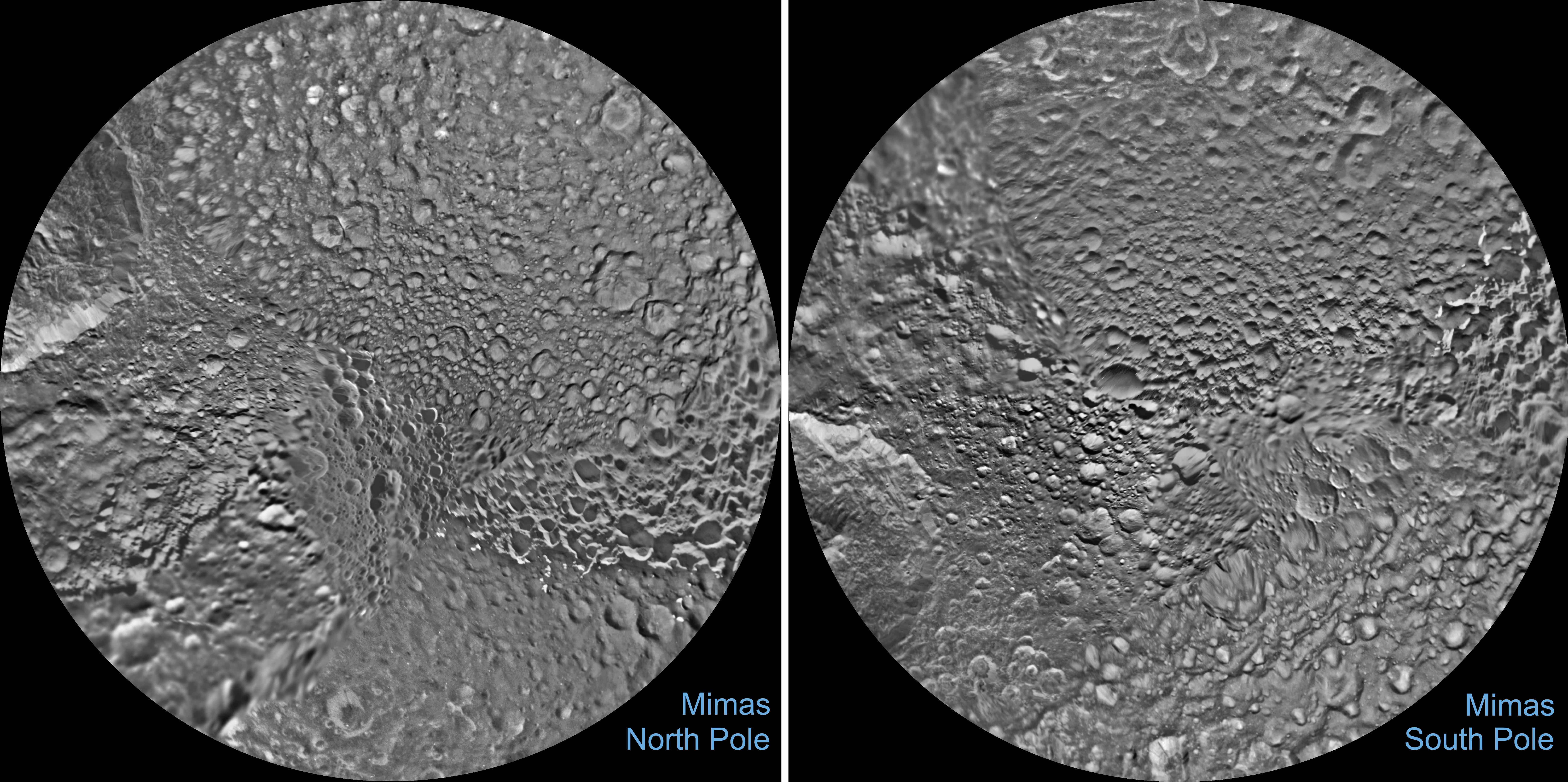
2017-06-13 | Mimas |
Cassini-Huygens |
Imaging Science Subsystem |
5760x2880x1 |
|
|||||
|
|
2017-06-13 | Mimas |
Cassini-Huygens |
Imaging Science Subsystem |
7352x3666x3 |
|
|||||

|
 |
|
|
|
|
|
|
 |
 |
|

|
| 1-100 | 101-200 | 201-300 | 301-400 | 401-500 | 501-600 | 601-700 | 701-800 | 801-900 | 901-1000 |
| Currently displaying images: 701 - 800 of 3920 |