|
Your search criteria found 19634 images Target is Sun |
| My List |
Addition Date
|
Target | Mission | Instrument | Size |

|
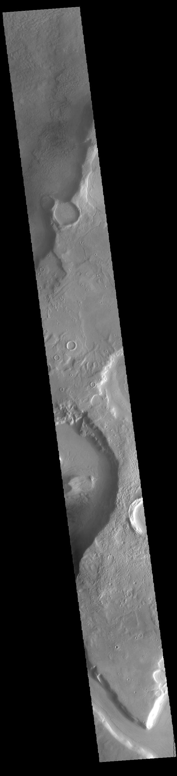
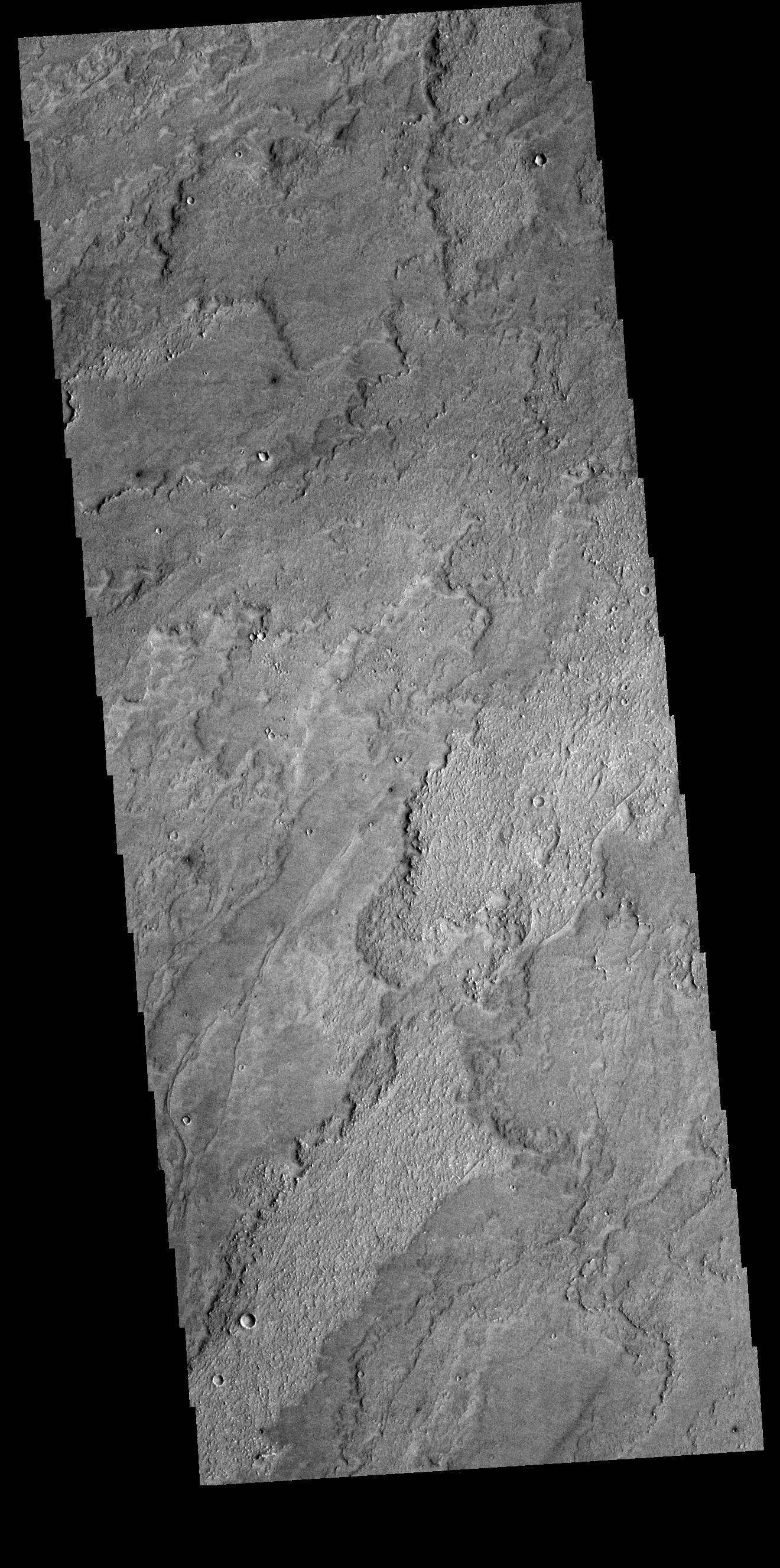
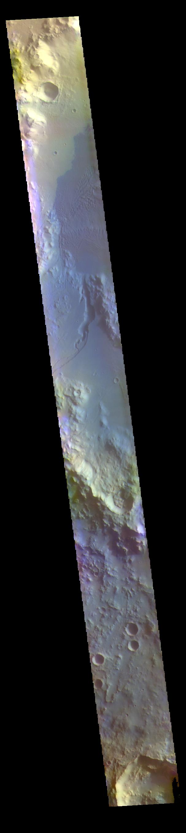
2022-08-10 | Mars |
2001 Mars Odyssey |
THEMIS |
695x1429x1 |
|
|
|||||
|
|
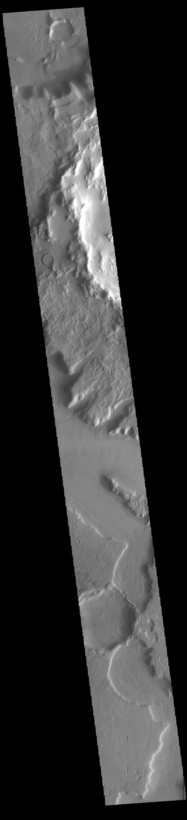
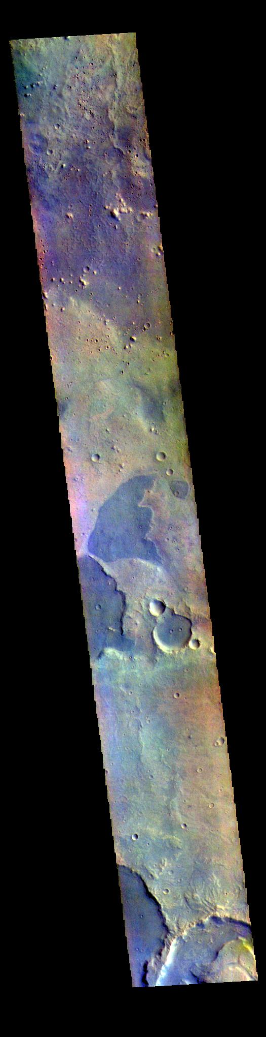
2022-08-09 | Mars |
2001 Mars Odyssey |
THEMIS |
664x1435x1 |
|
|
|||||
|
|
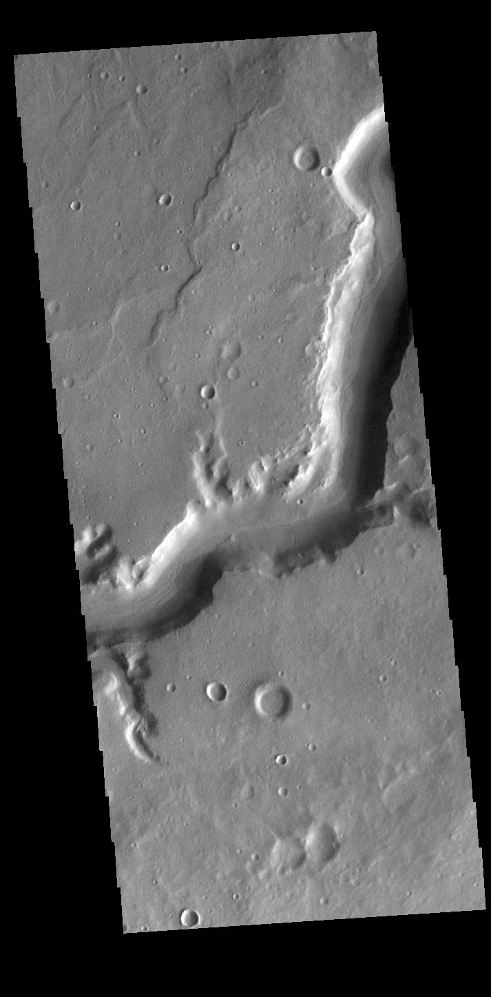
2022-08-08 | Mars |
2001 Mars Odyssey |
THEMIS |
699x1431x1 |
|
|
|||||
|
|
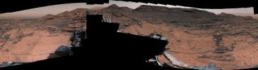
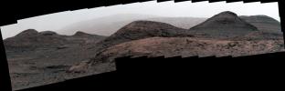
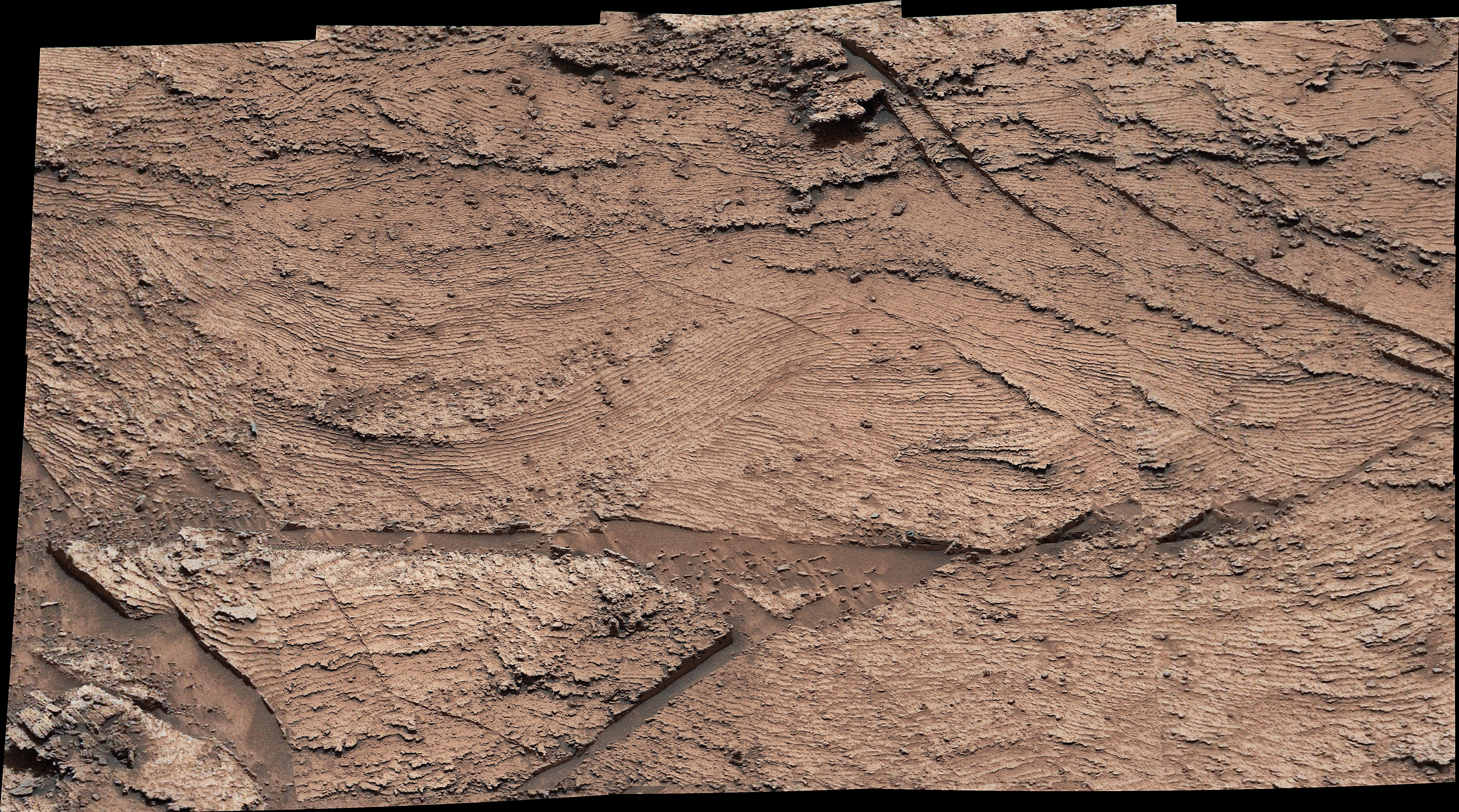
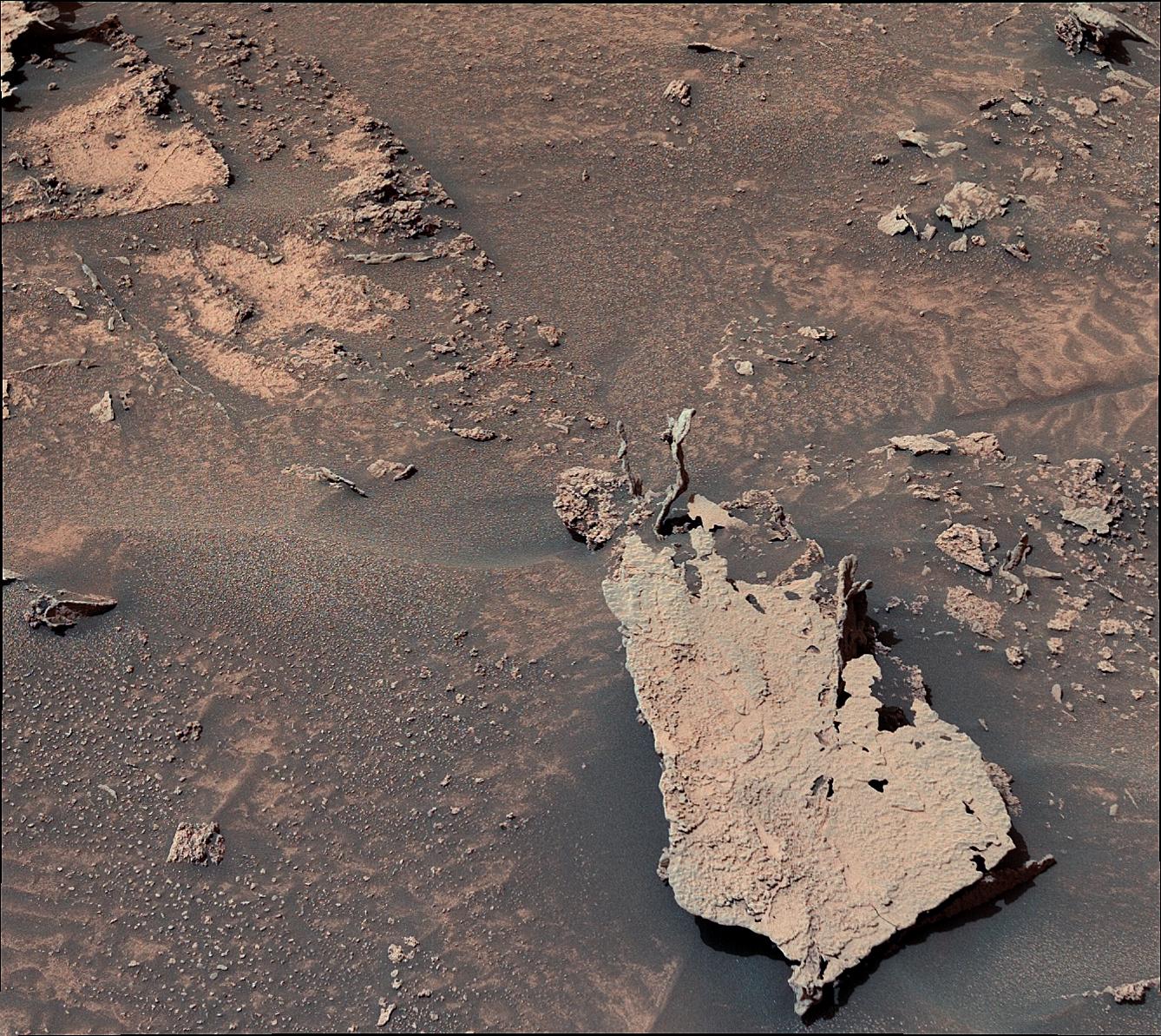
2022-08-05 | Mars |
Mars Science Laboratory (MSL) |
Mastcam |
29163x8000x3 |
|
|||||
|
|
2022-08-05 | Mars |
2001 Mars Odyssey |
THEMIS |
700x1433x1 |
|
|
|||||
|
|
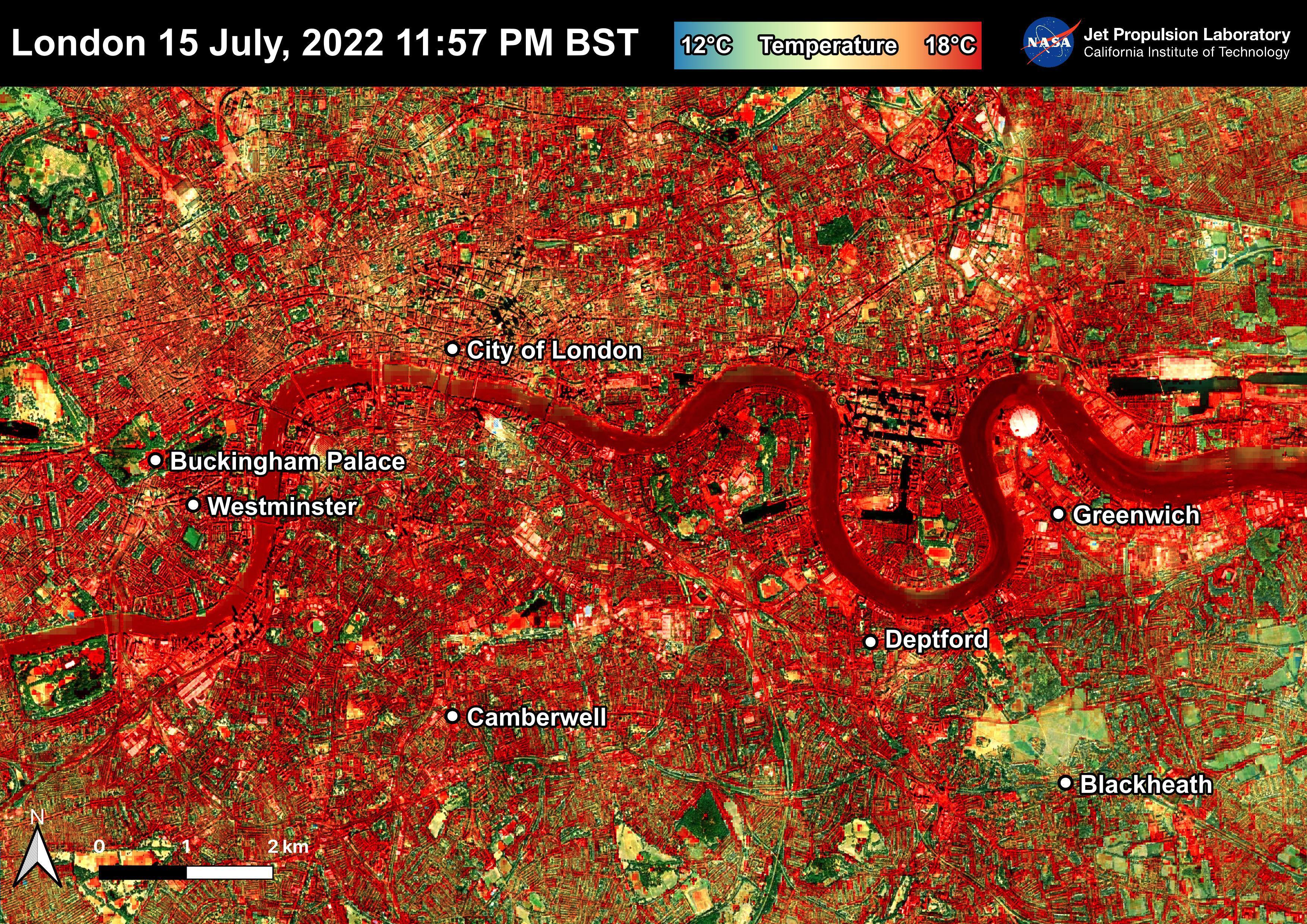
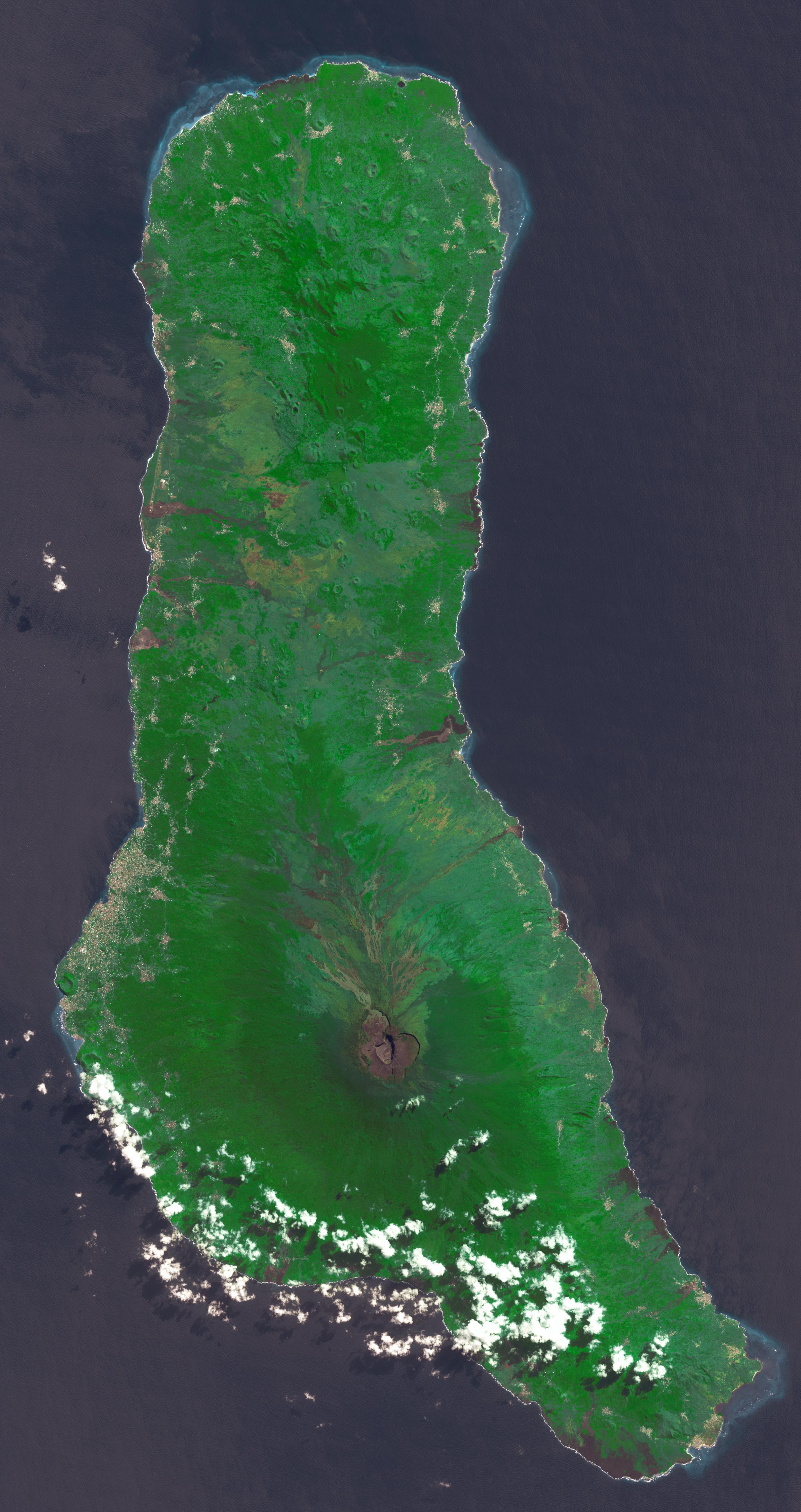
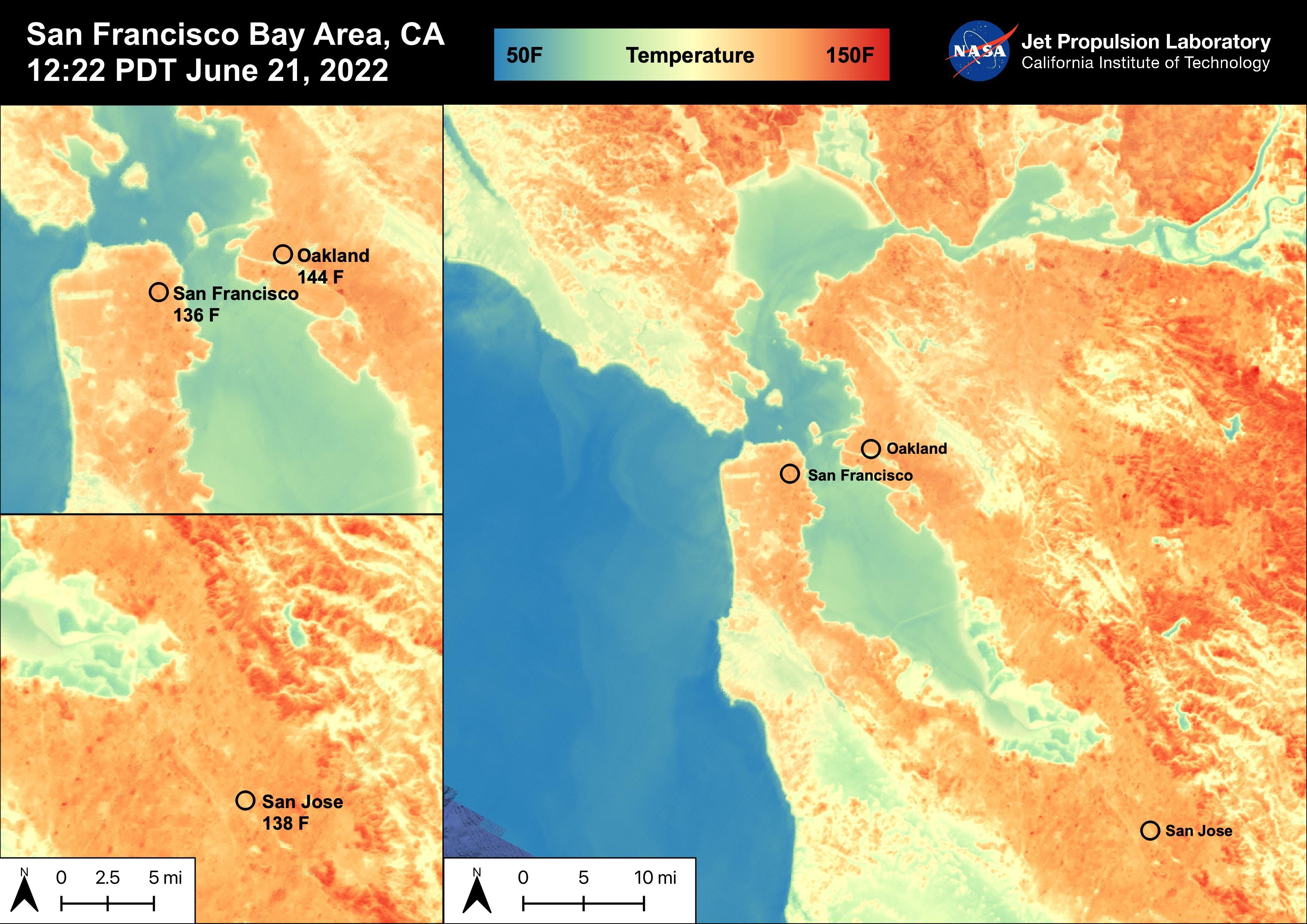
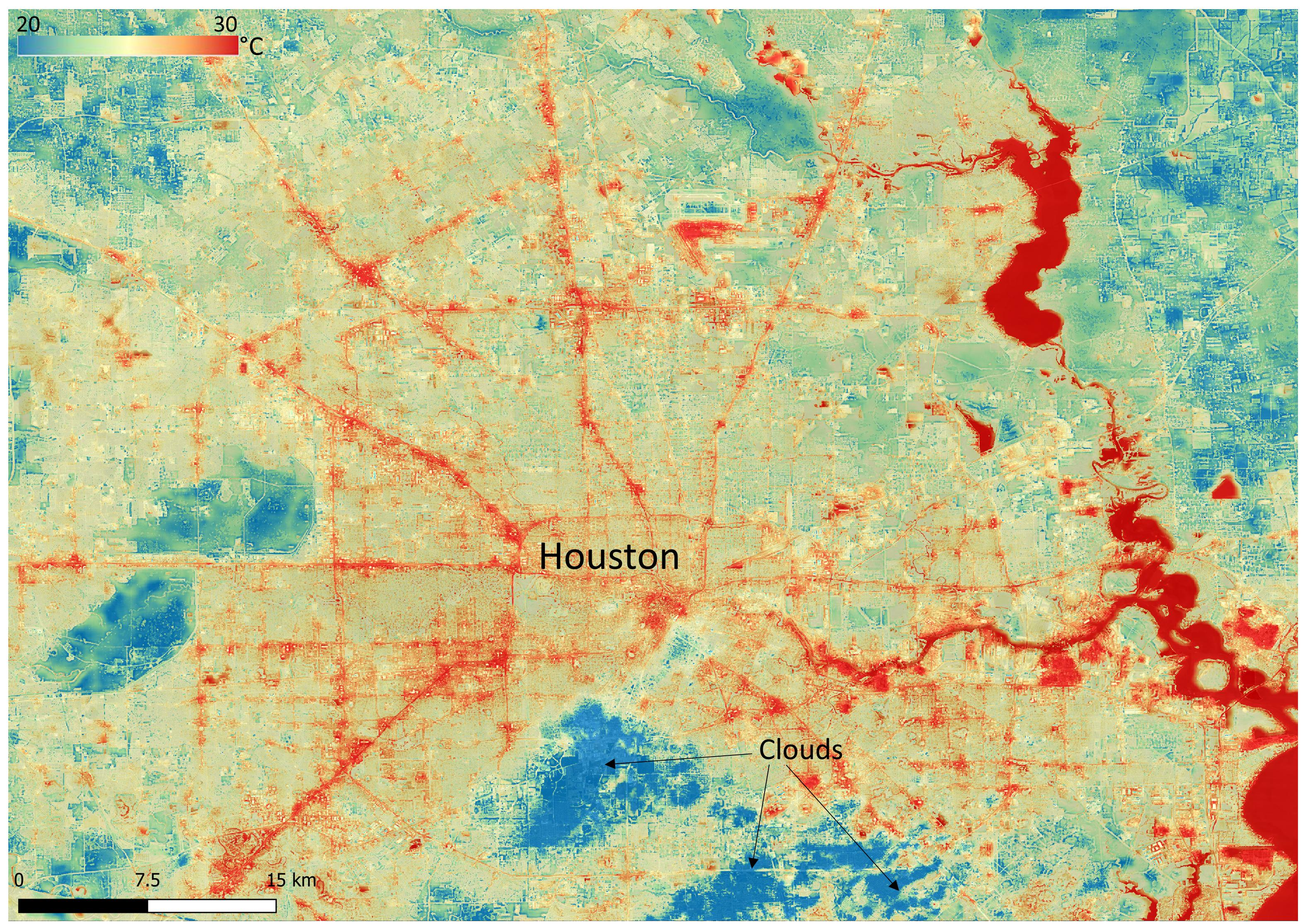
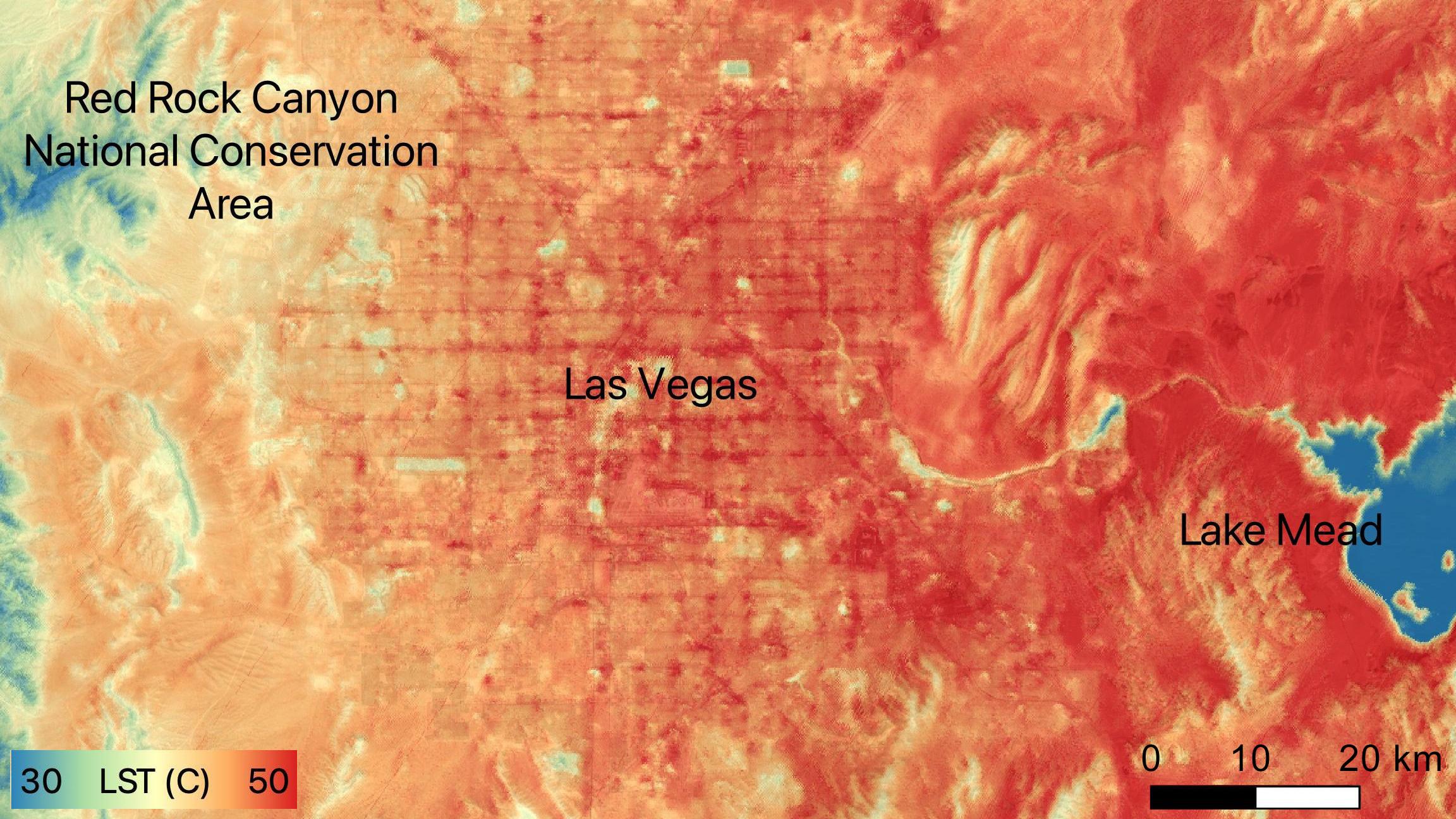
2022-08-04 | Earth |
ECOSTRESS |
3507x2480x3 | |
|
|||||
|
|
2022-08-04 | Earth |
ECOSTRESS |
3507x2480x3 | |
|
|||||
|
|
2022-08-04 | Earth |
ECOSTRESS |
3507x2480x3 | |

|
|||||
|
|
2022-08-04 | Earth |
ECOSTRESS |
3507x2480x3 | |
|
|||||
|
|
2022-08-04 | Earth |
ECOSTRESS |
3507x2480x3 | |
|
|||||
|
|
2022-08-04 | Earth |
ECOSTRESS |
3507x2480x3 | |
|
|||||
|
|
2022-08-04 | Earth |
ECOSTRESS |
3507x2480x3 | |
|
|||||
|
|
2022-08-04 | Earth |
ECOSTRESS |
3507x2480x3 | |
|
|||||
|
|
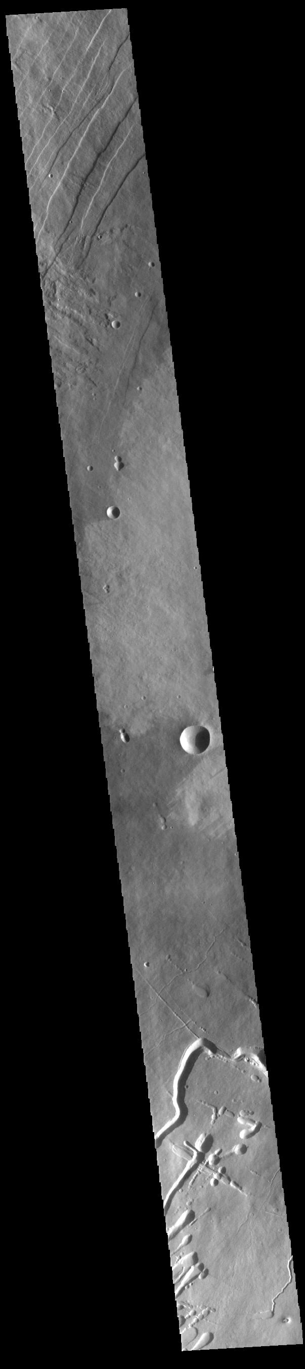
2022-08-04 | Mars |
2001 Mars Odyssey |
THEMIS |
1322x2651x1 |
|
|||||
|
|
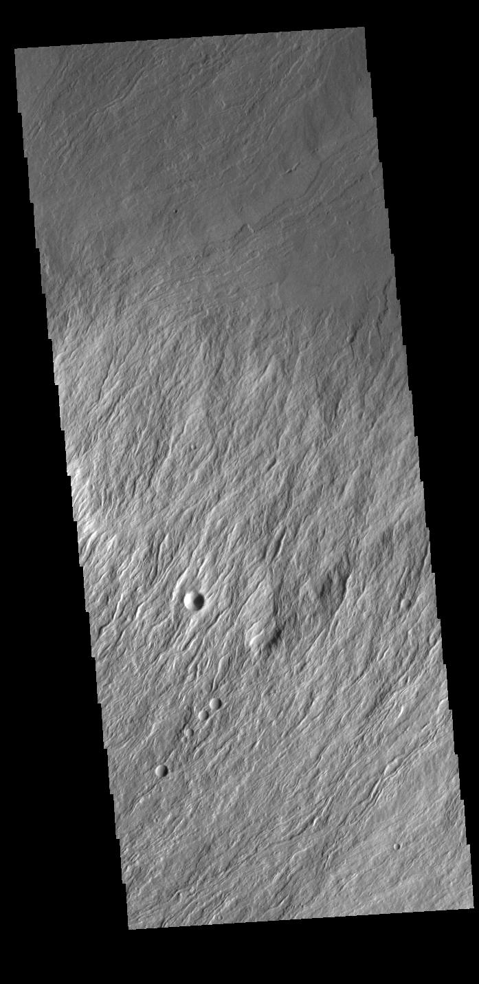
2022-08-03 | Mars |
2001 Mars Odyssey |
THEMIS |
616x2702x1 |
|
|
|||||
|
|
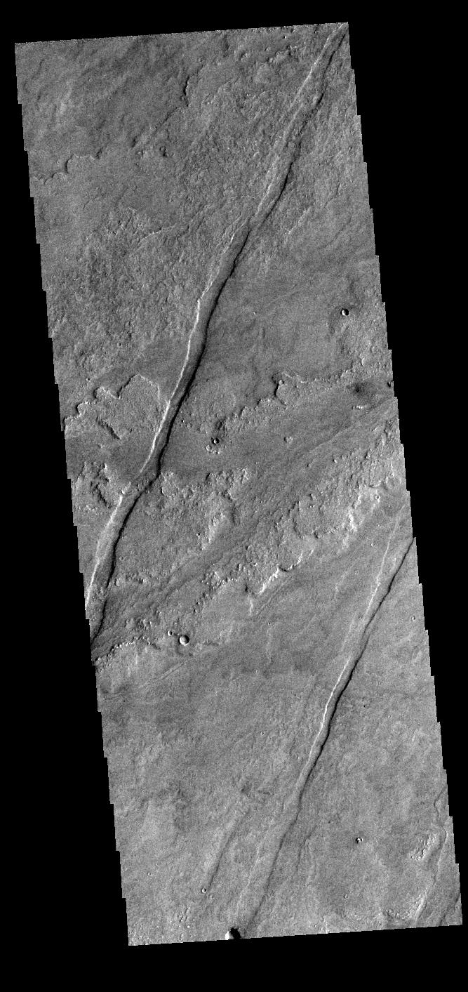
2022-08-02 | Mars |
2001 Mars Odyssey |
THEMIS |
616x2700x1 |
|
|
|||||
|
|
2022-08-01 | Mars |
2001 Mars Odyssey |
THEMIS |
713x1447x1 |
|
|
|||||
|
|
2022-07-29 | Earth |
Earth Surface Mineral Dust Source Investigation (EMIT) |
EMIT |
1774x1458x3 |
|
|||||
|
|
2022-07-29 | Mars |
2001 Mars Odyssey |
THEMIS |
611x2706x1 |
|
|
|||||
|
|
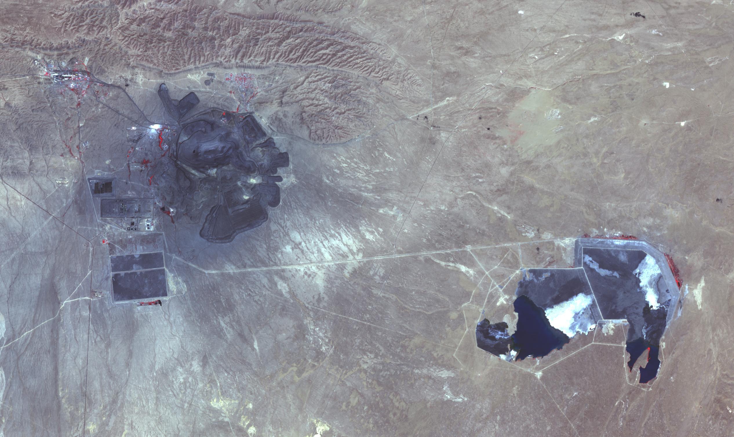
2022-07-28 | Earth |
Terra |
ASTER |
2533x1508x3 |
|
|||||
|
|
2022-07-28 | Mars |
2001 Mars Odyssey |
THEMIS |
607x2708x1 |
|
|
|||||
|
|
2022-07-27 | Mars |
Mars Sample Return (MSR) |
4000x2250x3 | |
|
|||||
|
|
2022-07-27 | Mars |
2001 Mars Odyssey |
THEMIS |
1318x2678x1 |
|
|
|||||
|
|
2022-07-26 | Earth |
Terra |
MISR |
3500x1029x3 |
|
|||||
|
|
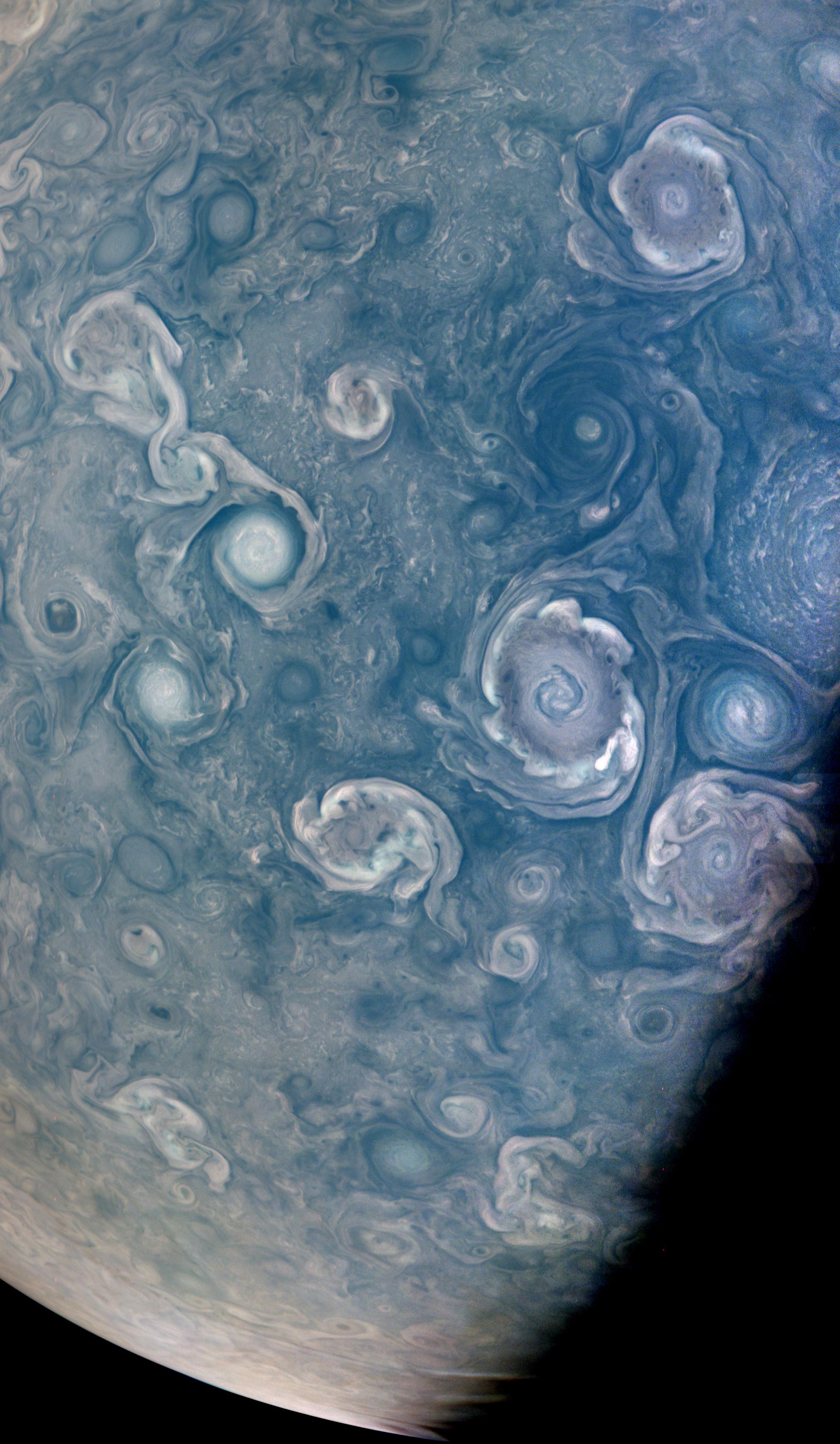
2022-07-26 | Jupiter |
Juno |
JunoCam |
2077x3568x3 |
|
|||||
|
|
2022-07-26 | Mars |
2001 Mars Odyssey |
THEMIS |
1370x2644x1 |
|
|||||
|
|
2022-07-25 | Mars |
2001 Mars Odyssey |
THEMIS |
1320x2655x1 |

|
|||||
|
|
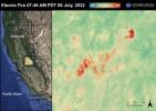
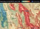
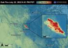
2022-07-22 | Earth |
ECOSTRESS |
3507x2480x3 | |
|
|||||
|
|
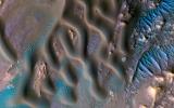
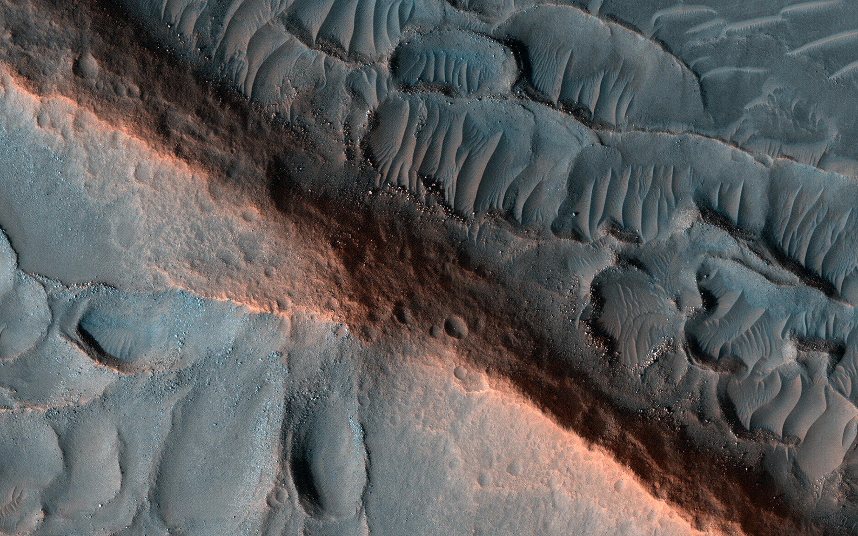
2022-07-22 | Mars |
Mars Reconnaissance Orbiter (MRO) |
HiRISE |
2880x1800x3 |
|
|||||
|
|
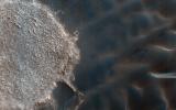
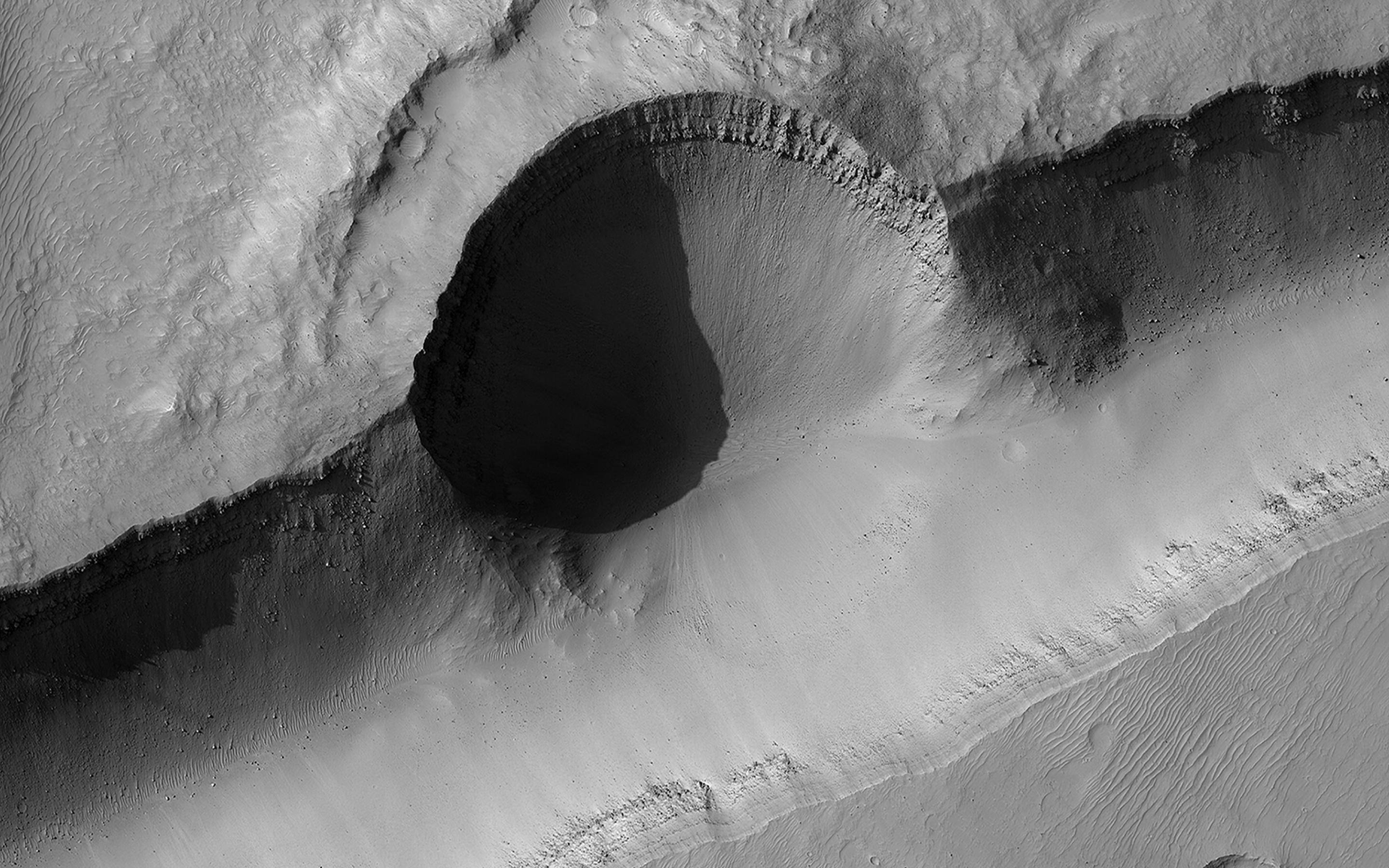
2022-07-22 | Mars |
Mars Reconnaissance Orbiter (MRO) |
HiRISE |
2880x1800x3 |
|
|||||
|
|
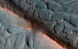
2022-07-22 | Mars |
Mars Reconnaissance Orbiter (MRO) |
HiRISE |
2880x1800x3 |
|
|||||
|
|
2022-07-22 | Mars |
Mars Reconnaissance Orbiter (MRO) |
HiRISE |
2880x1800x3 |

|
|||||
|
|
2022-07-22 | Mars |
2001 Mars Odyssey |
THEMIS |
492x5383x1 |
|
|
|||||
|
|
2022-07-21 | Earth |
Terra |
ASTER |
2382x4495x3 |

|
|||||
|
|
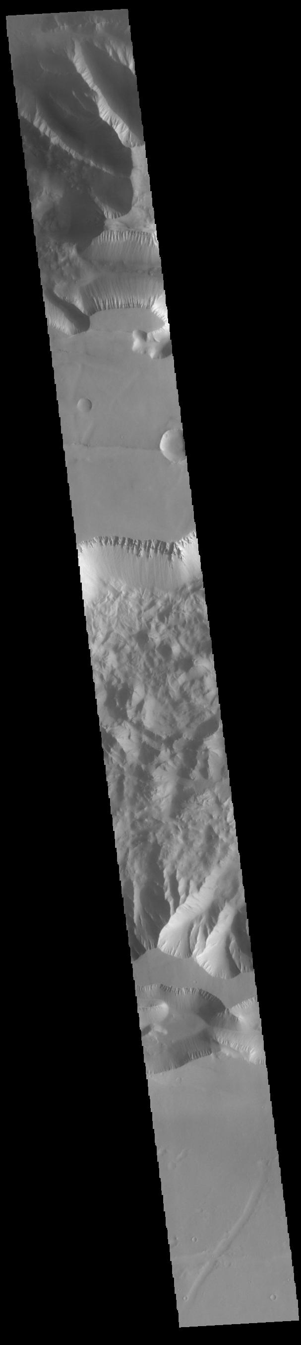
2022-07-21 | Mars |
2001 Mars Odyssey |
THEMIS |
603x2699x1 |
|
|
|||||
|
|
2022-07-20 | Mars |
2001 Mars Odyssey |
THEMIS |
697x1431x1 |
|
|
|||||
|
|
2022-07-19 | Mars |
2001 Mars Odyssey |
THEMIS |
667x1413x1 |
|
|
|||||
|
|
2022-07-18 | Mars |
2001 Mars Odyssey |
THEMIS |
687x1429x1 |
|
|
|||||
|
|
2022-07-15 | Mars |
2001 Mars Odyssey |
THEMIS |
612x2708x1 |
|
|
|||||
|
|
2022-07-14 | Mars |
2001 Mars Odyssey |
THEMIS |
712x1445x1 |
|
|
|||||
|
|
2022-07-13 | Mars |
2001 Mars Odyssey |
THEMIS |
602x2700x1 |
|
|
|||||
|
|
2022-07-12 | Mars |
2001 Mars Odyssey |
THEMIS |
604x2710x1 |
|
|
|||||
|
|
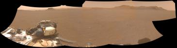
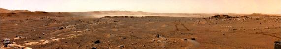
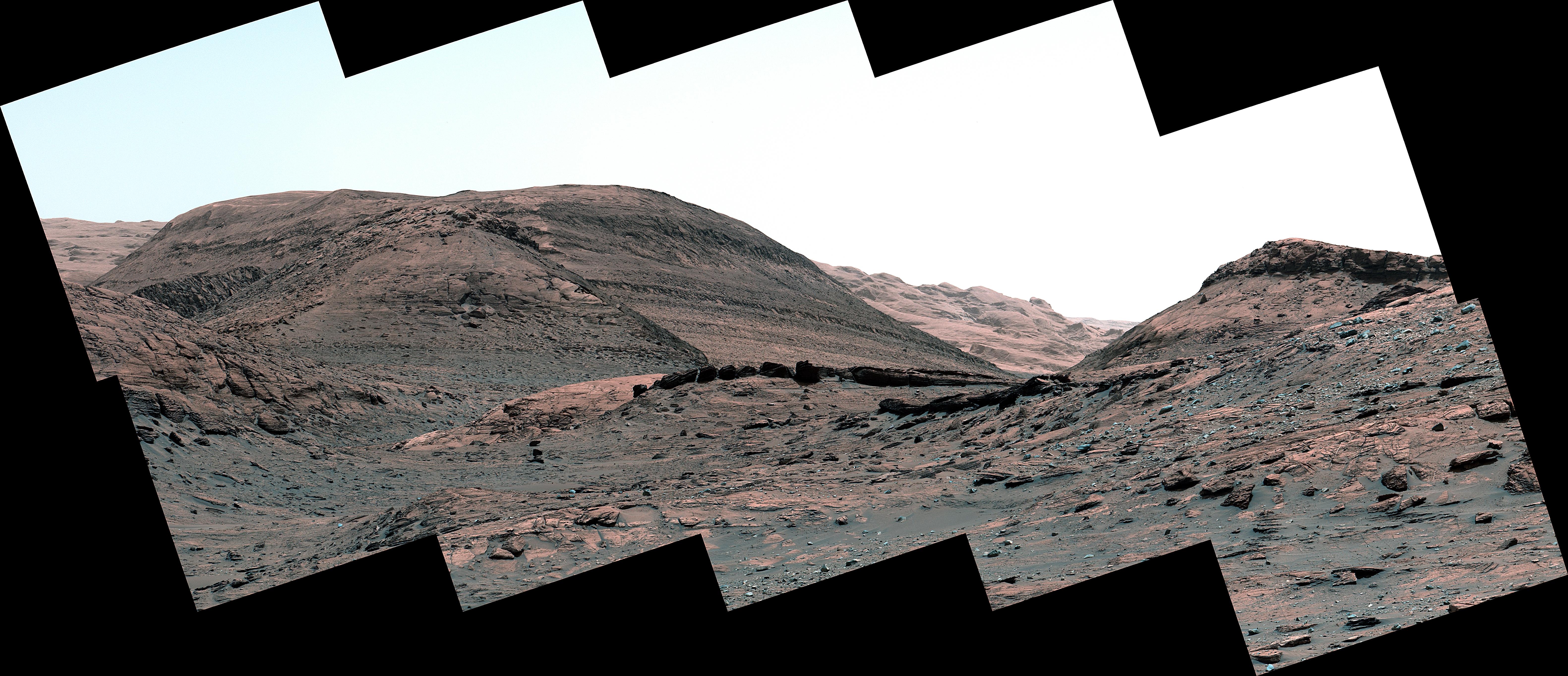
2022-07-11 | Mars |
Mars 2020 Rover |
Navigation Camera (M2020) |
16287x4459x3 |
|
|||||
|
|
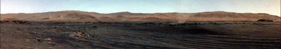
2022-07-11 | Mars |
Mars 2020 Rover |
Navigation Camera (M2020) |
5120x3840x3 |
|
|||||
|
|
2022-07-11 | Mars |
2001 Mars Odyssey |
THEMIS |
681x1419x1 |
|
|
|||||
|
|
2022-07-08 | Earth |
Terra |
MISR |
3584x3754x3 |
|
|||||
|
|
2022-07-08 | Mars |
2001 Mars Odyssey |
THEMIS |
690x1426x1 |
|
|
|||||
|
|
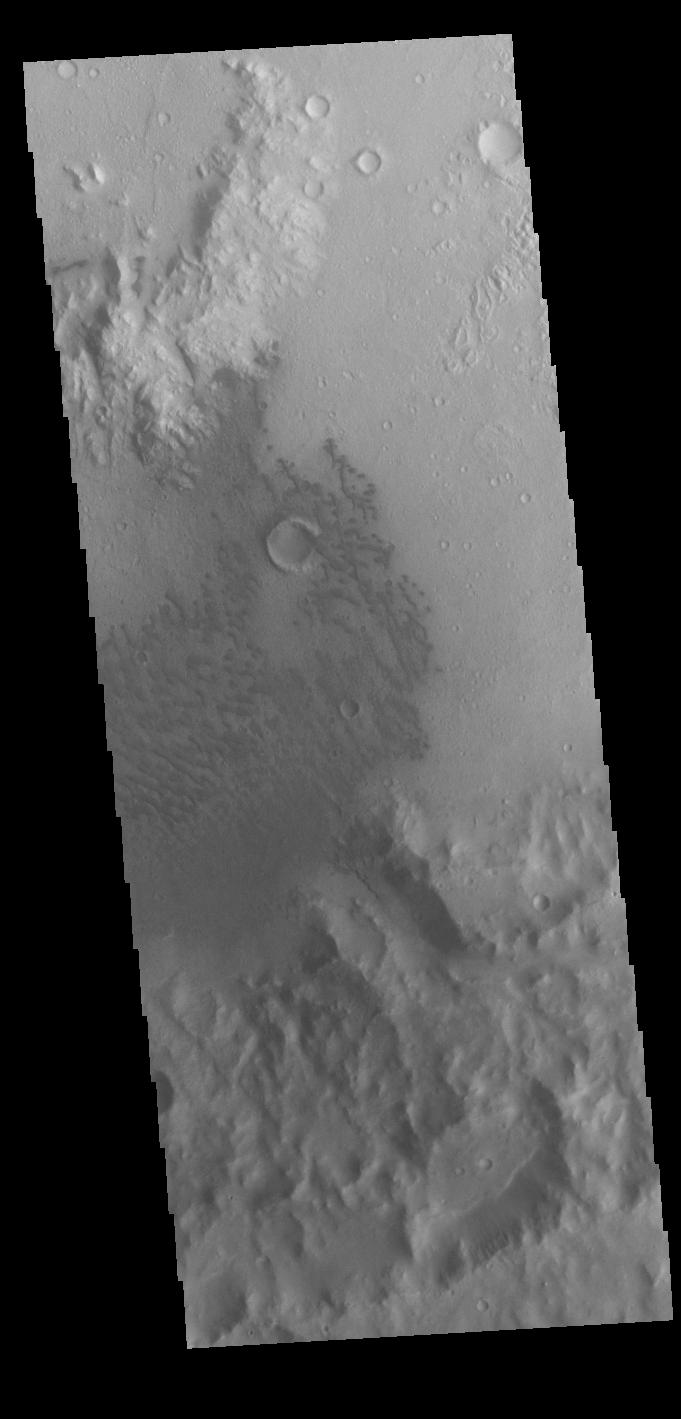
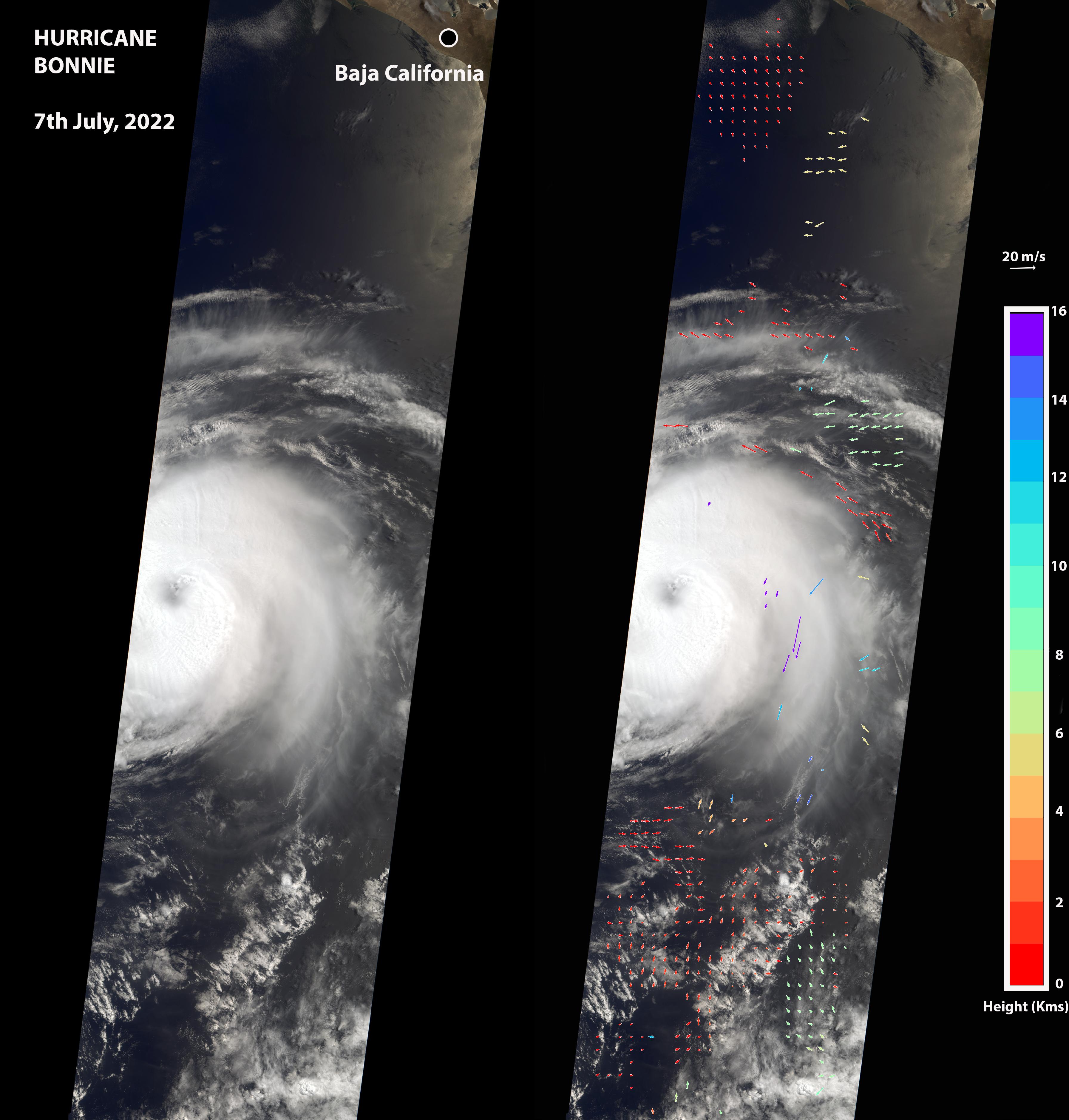
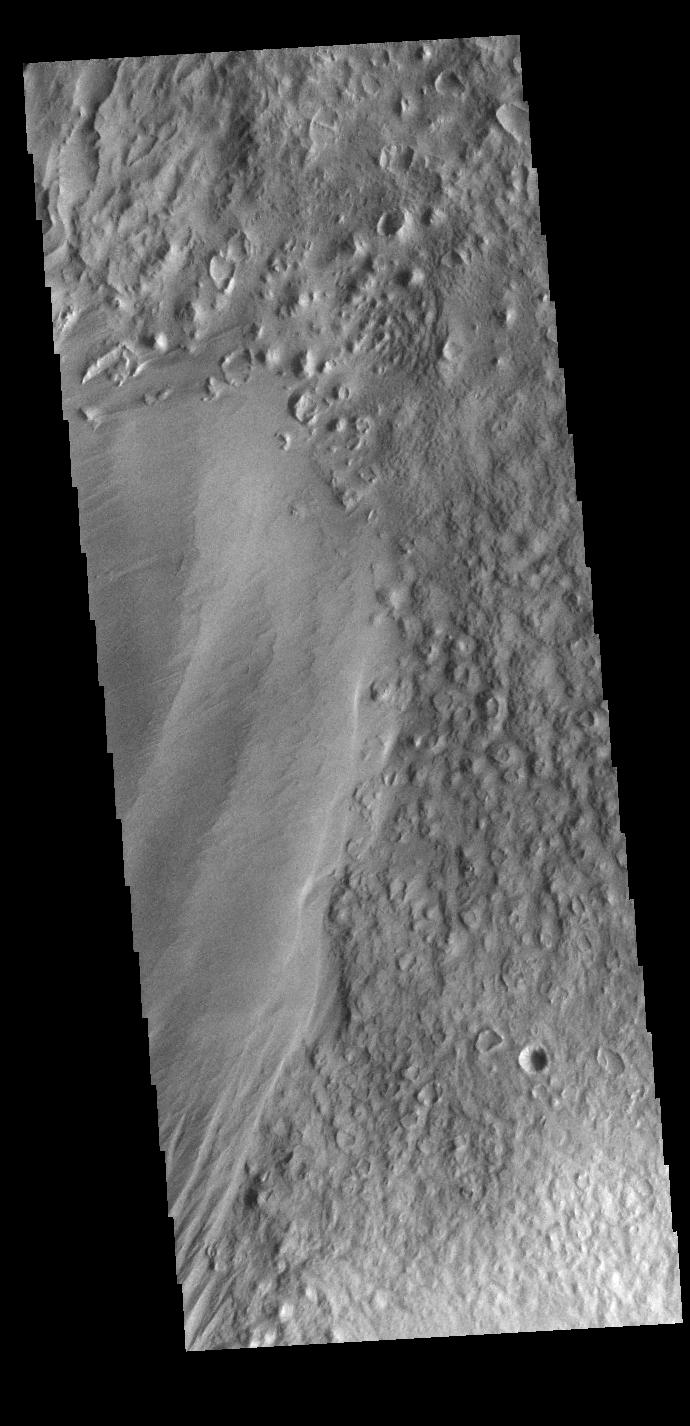
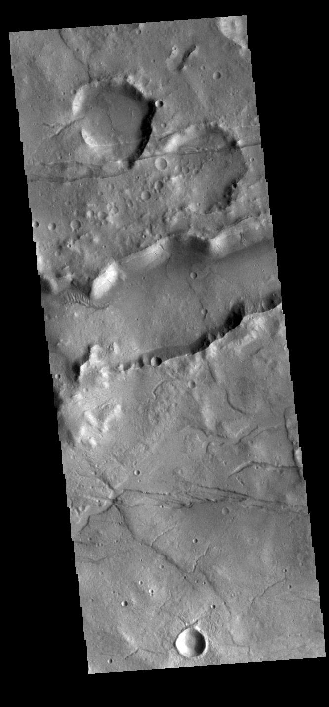
2022-07-07 | Mars |
2001 Mars Odyssey |
THEMIS |
666x1428x1 |
|
|
|||||
|
|
2022-07-06 | Mars |
2001 Mars Odyssey |
THEMIS |
684x1417x1 |
|
|
|||||
|
|
2022-07-05 | Mars |
2001 Mars Odyssey |
THEMIS |
1365x2645x1 |
|
|||||
|
|
2022-07-04 | Mars |
2001 Mars Odyssey |
THEMIS |
616x2700x1 |
|
|
|||||
|
|
2022-07-01 | Mars |
2001 Mars Odyssey |
THEMIS |
713x1447x1 |
|
|
|||||
|
|
2022-06-30 | Earth |
ECOSTRESS |
3507x2480x3 | |
|
|||||
|
|
2022-06-30 | Earth |
ECOSTRESS |
3507x2480x3 | |
|
|||||
|
|
2022-06-30 | Earth |
ECOSTRESS |
3507x2480x3 | |
|
|||||
|
|
2022-06-30 | Mars |
2001 Mars Odyssey |
THEMIS |
707x1440x1 |
|
|
|||||
|
|
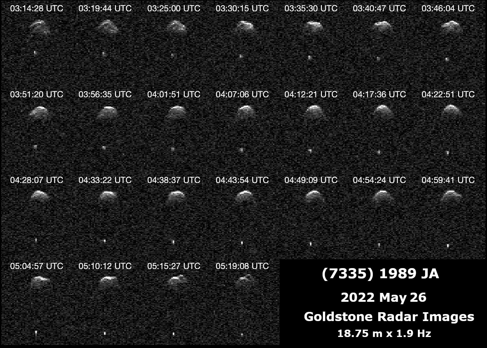
2022-06-29 | Asteroid |
Deep Space Network (DSN) |
Deep Space Network |
1587x1137x1 |
|
|||||
|
|
2022-06-29 | Mars |
Mars 2020 Rover |
Hazard Avoidance Camera (M2020) |
5120x2880x3 |
|
|||||
|
|
2022-06-29 | Mars |
2001 Mars Odyssey |
THEMIS |
611x2706x1 |
|
|
|||||
|
|
2022-06-28 | Mars |
2001 Mars Odyssey |
THEMIS |
673x1416x1 |
|
|
|||||
|
|
2022-06-27 | Mars |
Mars Reconnaissance Orbiter (MRO) |
HiRISE |
2880x1800x3 |
|
|||||
|
|
2022-06-27 | Mars |
Mars Reconnaissance Orbiter (MRO) |
HiRISE |
2880x1800x3 |

|
|||||
|
|
2022-06-27 | Mars |
Mars Reconnaissance Orbiter (MRO) |
HiRISE |
2880x1800x3 |
|
|||||
|
|
2022-06-27 | Mars |
Mars Reconnaissance Orbiter (MRO) |
HiRISE |
2880x1800x3 |
|
|||||
|
|
2022-06-27 | Earth |
Terra |
ASTER |
1101x1054x3 |
|
|||||
|
|
2022-06-27 | Mars |
2001 Mars Odyssey |
THEMIS |
607x2708x1 |
|
|
|||||
|
|
2022-06-24 | Mars |
2001 Mars Odyssey |
THEMIS |
705x1437x3 |
|
|
|||||
|
|
2022-06-23 | Mars |
Mars Reconnaissance Orbiter (MRO) |
CRISM |
1600x900x3 |
|
|||||
|
|
2022-06-23 | Mars |
Mars Reconnaissance Orbiter (MRO) |
CRISM |
5204x2919x3 |
|
|||||
|
|
2022-06-23 | Mars |
2001 Mars Odyssey |
THEMIS |
663x1426x3 |
|
|
|||||
|
|
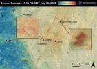
2022-06-22 | Earth |
ECOSTRESS |
3099x2201x3 | |
|
|||||
|
|
2022-06-22 | Earth |
ECOSTRESS |
3161x2230x3 | |
|
|||||
|
|
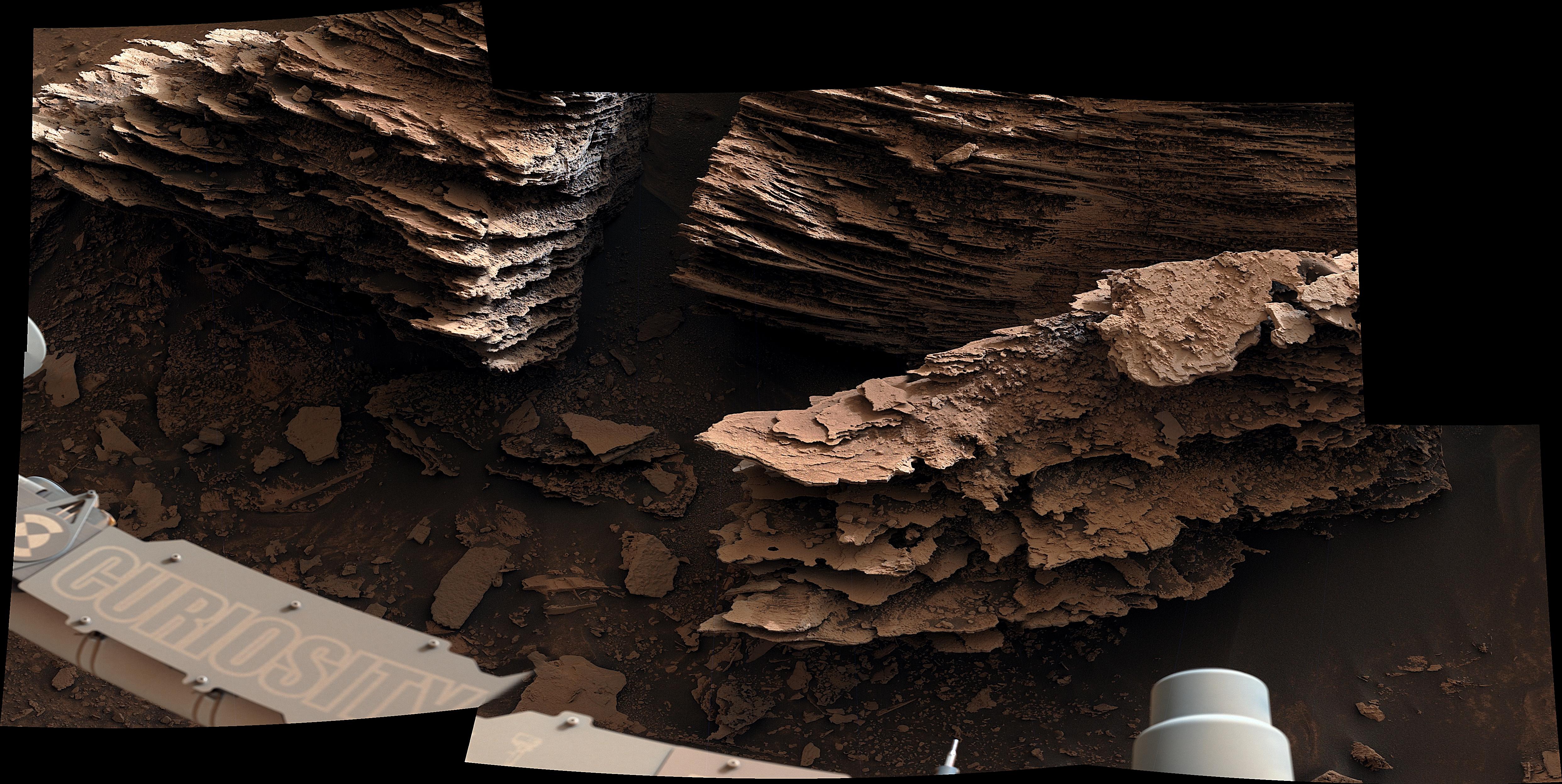
2022-06-22 | Mars |
Mars Science Laboratory (MSL) |
Mastcam |
6057x3373x3 |
|
|||||
|
|
2022-06-22 | Mars |
Mars Science Laboratory (MSL) |
Mastcam |
4966x2494x3 |
|
|||||
|
|
2022-06-22 | Mars |
Mars Science Laboratory (MSL) |
Mastcam |
6325x2726x3 |
|
|||||
|
|
2022-06-22 | Mars |
Mars Science Laboratory (MSL) |
Mastcam |
29163x8571x3 |
|
|||||
|
|
2022-06-22 | Mars |
Mars Science Laboratory (MSL) |
Mastcam |
17708x5681x3 |
|
|||||
|
|
2022-06-22 | Mars |
2001 Mars Odyssey |
THEMIS |
703x1435x3 |
|
|
|||||
|
|
2022-06-21 | Mars |
2001 Mars Odyssey |
THEMIS |
704x1432x3 |
|
|
|||||
|
|
2022-06-20 | Mars |
2001 Mars Odyssey |
THEMIS |
719x1458x3 |
|
|
|||||
|
|
2022-06-17 | Mars |
2001 Mars Odyssey |
THEMIS |
607x2711x3 |
|
|
|||||
|
|
2022-06-16 | Mars |
2001 Mars Odyssey |
THEMIS |
608x2708x3 |
|
|
|||||
|
|
2022-06-15 | Earth |
ECOSTRESS |
2304x1296x3 | |

|
|||||
|
|
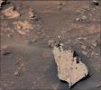
2022-06-15 | Mars |
Mars Science Laboratory (MSL) |
Mastcam |
1338x1193x3 |
|
|||||
|
|
2022-06-15 | Mars |
2001 Mars Odyssey |
THEMIS |
606x2710x3 |
|
|
|||||
|
|
2022-06-14 | Mars |
2001 Mars Odyssey |
THEMIS |
693x1428x3 |
|
|
|||||
|
|
2022-06-13 | Mars |
2001 Mars Odyssey |
THEMIS |
525x2040x3 |
|
|
|||||
|
|
2022-06-10 | Mars |
2001 Mars Odyssey |
THEMIS |
606x2633x3 |
|
|
|||||
|
|
2022-06-09 | Mars |
2001 Mars Odyssey |
THEMIS |
602x2709x1 |
|
|
|||||
|
|
2022-06-08 | Mars |
2001 Mars Odyssey |
THEMIS |
709x1447x1 |
|
|
|||||
|
|
2022-06-07 | Mars |
2001 Mars Odyssey |
THEMIS |
684x1421x1 |
|
|
|||||
|
|
2022-06-06 | Mars |
2001 Mars Odyssey |
THEMIS |
611x2697x1 |
|
|
|||||
|
|
2022-06-03 | Mars |
2001 Mars Odyssey |
THEMIS |
603x2706x1 |
|
|
|||||
|
|
2022-06-02 | Mars |
2001 Mars Odyssey |
THEMIS |
711x1450x1 |
|
|
|||||
|
|
2022-06-01 | Earth |
Earth Surface Mineral Dust Source Investigation (EMIT) |
EMIT |
5568x3712x3 |

|
|||||
|
|
2022-06-01 | Mars |
Mars 2020 Rover |
Navigation Camera (M2020) |
1280x224x3 |
|
|||||
|
|
2022-06-01 | Mars |
Mars 2020 Rover |
Navigation Camera (M2020) |
2000x350x3 |
|
|||||
|
|
2022-06-01 | Mars |
2001 Mars Odyssey |
THEMIS |
696x1435x1 |
|
|
|||||
|
|
2022-05-31 | Mars |
Mars 2020 Rover |
2698x2055x3 | |
|
|||||
|
|
2022-05-31 | Mars |
2001 Mars Odyssey |
THEMIS |
972x2625x1 |
|
|
|||||

|
 |
|
|
|
|
|
|
 |
 |
|

|
| 1-100 | 101-200 | 201-300 | 301-400 | 401-500 | 501-600 | 601-700 | 701-800 | 801-900 | 901-1000 |
| Currently displaying images: 701 - 800 of 19634 |