|
Your search criteria found 19634 images Target is Sun |
| My List |
Addition Date | Target | Mission |
Instrument
|
Size |

|
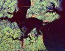
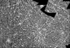
1999-04-15 | Earth |
Spaceborne Imaging Radar-C/X-Band Synthetic Aperture Radar |
2233x3024x3 | |
|
|||||
|
|
1999-04-15 | Earth |
Spaceborne Imaging Radar-C/X-Band Synthetic Aperture Radar |
2325x1521x3 | |
|
|||||
|
|
1999-04-15 | Earth |
Spaceborne Imaging Radar-C/X-Band Synthetic Aperture Radar |
2050x3120x3 | |
|
|||||
|
|
1999-04-15 | Earth |
Spaceborne Imaging Radar-C/X-Band Synthetic Aperture Radar |
2805x2472x3 | |
|
|||||
|
|
1999-04-15 | Earth |
Spaceborne Imaging Radar-C/X-Band Synthetic Aperture Radar |
1920x1080x3 | |
|
|||||
|
|
1999-04-15 | Earth |
Spaceborne Imaging Radar-C/X-Band Synthetic Aperture Radar |
1920x1080x3 | |
|
|||||
|
|
1999-04-15 | Earth |
Spaceborne Imaging Radar-C/X-Band Synthetic Aperture Radar |
1648x2449x3 | |
|
|||||
|
|
1999-04-15 | Earth |
Spaceborne Imaging Radar-C/X-Band Synthetic Aperture Radar |
1792x2496x3 | |
|
|||||
|
|
1999-04-15 | Earth |
Spaceborne Imaging Radar-C/X-Band Synthetic Aperture Radar |
1196x627x3 | |
|
|||||
|
|
1999-04-15 | Earth |
Spaceborne Imaging Radar-C/X-Band Synthetic Aperture Radar |
2466x2881x3 | |
|
|||||
|
|
1999-04-15 | Earth |
Spaceborne Imaging Radar-C/X-Band Synthetic Aperture Radar |
5881x4501x3 | |

|
|||||
|
|
1999-04-15 | Earth |
Spaceborne Imaging Radar-C/X-Band Synthetic Aperture Radar |
2177x2057x3 | |
|
|||||
|
|
1999-04-15 | Earth |
Spaceborne Imaging Radar-C/X-Band Synthetic Aperture Radar |
3295x1662x3 | |
|
|||||
|
|
1999-04-15 | Earth |
Spaceborne Imaging Radar-C/X-Band Synthetic Aperture Radar |
3000x3500x3 | |
|
|||||
|
|
1999-04-15 | Earth |
Spaceborne Imaging Radar-C/X-Band Synthetic Aperture Radar |
2808x3500x3 | |
|
|||||
|
|
1999-04-15 | Earth |
Spaceborne Imaging Radar-C/X-Band Synthetic Aperture Radar |
6000x3852x3 | |
|
|||||
|
|
1999-04-15 | Earth |
Spaceborne Imaging Radar-C/X-Band Synthetic Aperture Radar |
3841x4593x3 | |

|
|||||
|
|
1999-04-15 | Earth |
Spaceborne Imaging Radar-C/X-Band Synthetic Aperture Radar |
4001x2640x3 | |
|
|||||
|
|
2000-04-27 | Earth |
Spaceborne Imaging Radar-C/X-Band Synthetic Aperture Radar |
6577x4337x3 | |

|
|||||
|
|
1999-04-15 | Earth |
Spaceborne Imaging Radar-C/X-Band Synthetic Aperture Radar |
6539x3444x3 | |

|
|||||
|
|
1999-04-15 | Earth |
Spaceborne Imaging Radar-C/X-Band Synthetic Aperture Radar |
2949x1949x3 | |
|
|||||
|
|
1999-04-15 | Earth |
Spaceborne Imaging Radar-C/X-Band Synthetic Aperture Radar |
2733x2656x3 | |
|
|||||
|
|
1999-04-15 | Earth |
Spaceborne Imaging Radar-C/X-Band Synthetic Aperture Radar |
4236x2788x3 | |
|
|||||
|
|
1999-04-15 | Earth |
Spaceborne Imaging Radar-C/X-Band Synthetic Aperture Radar |
1537x1081x3 | |
|
|||||
|
|
1999-04-15 | Earth |
Spaceborne Imaging Radar-C/X-Band Synthetic Aperture Radar |
2985x2361x3 | |
|
|||||
|
|
1999-04-15 | Earth |
Spaceborne Imaging Radar-C/X-Band Synthetic Aperture Radar |
3537x2708x3 | |

|
|||||
|
|
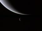
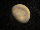
1999-08-23 | Neptune |
Voyager |
800x600x3 | |
|
|||||
|
|
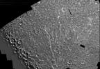
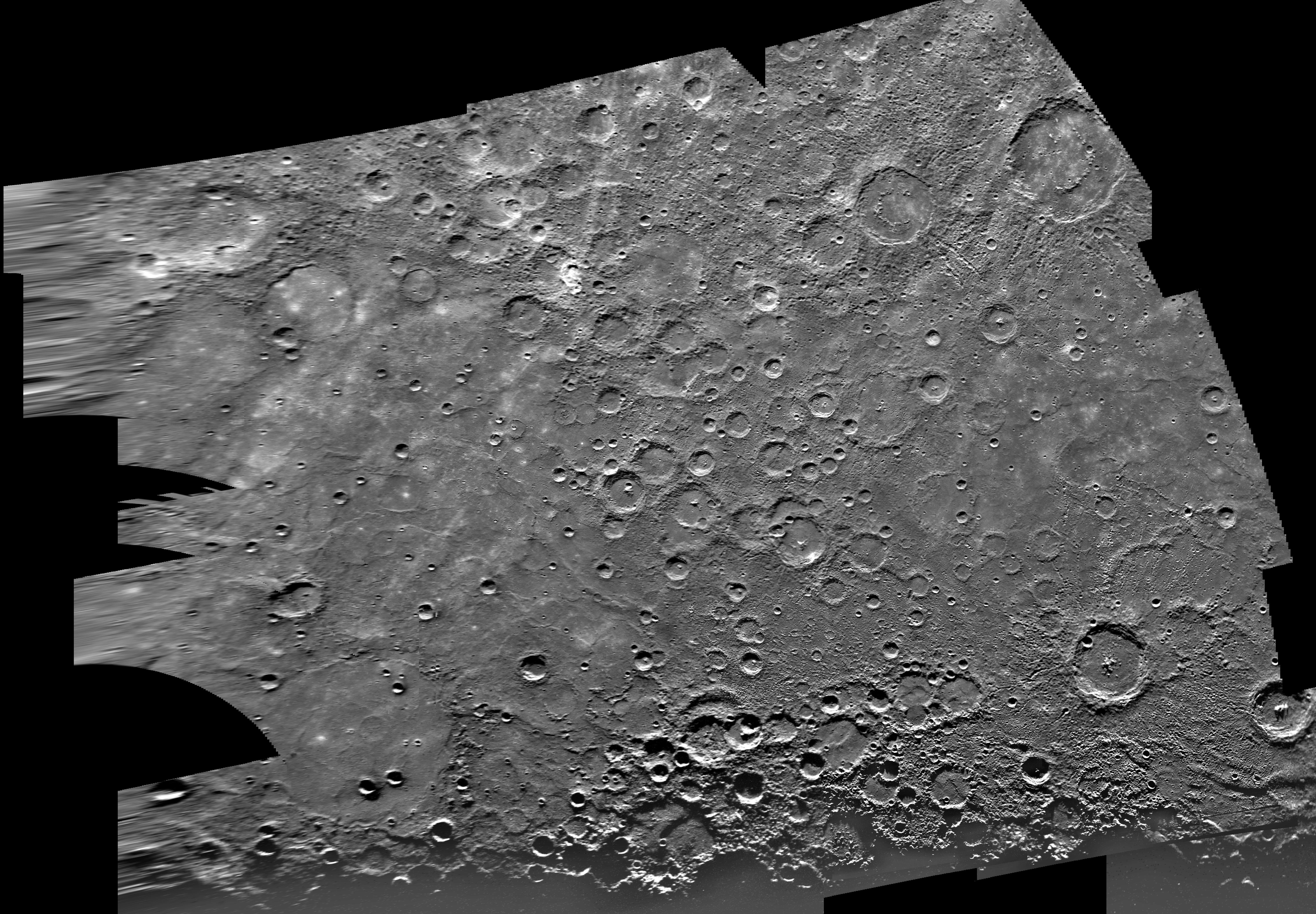
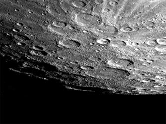
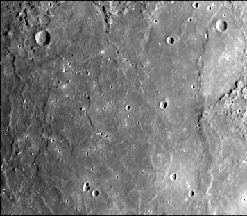
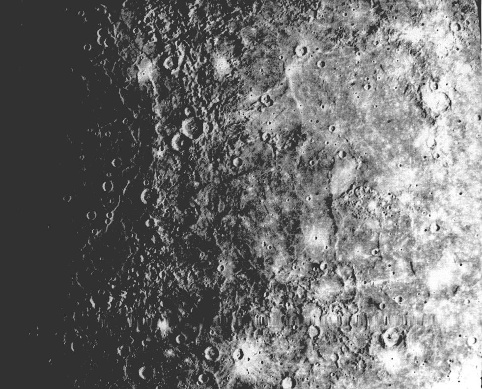
2000-01-19 | Mercury |
Mariner Venus Mercury (Mariner 10) |
7200x5000x1 | |

|
|||||
|
|
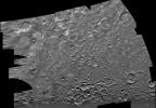
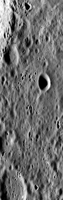
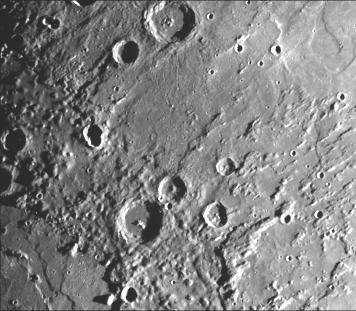
2000-01-26 | Mercury |
Mariner Venus Mercury (Mariner 10) |
7200x5000x1 | |
|
|||||
|
|
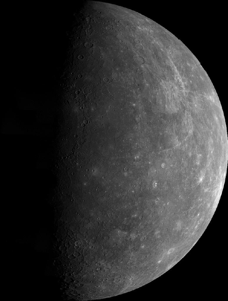
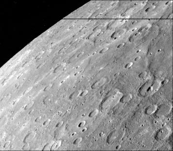
2000-02-10 | Mercury |
Mariner Venus Mercury (Mariner 10) |
5990x4162x1 | |
|
|||||
|
|
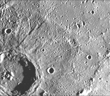
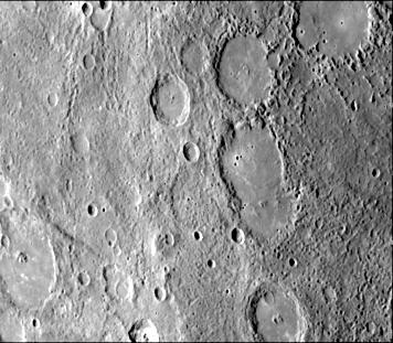
2000-04-01 | Mercury |
Mariner Venus Mercury (Mariner 10) |
7200x5000x1 | |
|
|||||
|
|
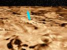
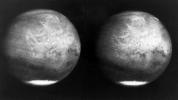
1999-08-26 | Mars |
Mars Global Surveyor (MGS) Viking |
1600x900x3 | |
|
|||||
|
|
1999-08-26 | Mars |
Mars Global Surveyor (MGS) Viking |
2560x1920x3 | |
|
|||||
|
|
1999-08-26 | Mars |
Mars Global Surveyor (MGS) Viking |
2560x1920x3 | |
|
|||||
|
|
1999-08-26 | Mars |
Mars Global Surveyor (MGS) Viking |
2560x1920x3 | |
|
|||||
|
|
1999-08-26 | Mars |
Mars Global Surveyor (MGS) Viking |
1280x960x3 | |
|
|||||
|
|
1999-10-07 | Mercury |
Mariner Venus Mercury (Mariner 10) |
356x311x1 | |
|
|||||
|
|
1999-10-08 | Mercury |
Mariner Venus Mercury (Mariner 10) |
356x311x1 | |

|
|||||
|
|
1999-10-08 | Mercury |
Mariner Venus Mercury (Mariner 10) |
356x311x1 | |

|
|||||
|
|
1999-10-08 | Mercury |
Mariner Venus Mercury (Mariner 10) |
356x311x1 | |
|
|||||
|
|
1999-10-08 | Mercury |
Mariner Venus Mercury (Mariner 10) |
356x311x1 | |
|
|||||
|
|
1999-10-08 | Mercury |
Mariner Venus Mercury (Mariner 10) |
356x311x1 | |

|
|||||
|
|
1999-10-07 | Mercury |
Mariner Venus Mercury (Mariner 10) |
300x352x1 | |
|
|||||
|
|
1999-10-08 | Mercury |
Mariner Venus Mercury (Mariner 10) |
348x302x1 | |
|
|||||
|
|
1999-10-08 | Mercury |
Mariner Venus Mercury (Mariner 10) |
335x250x1 | |

|
|||||
|
|
1999-10-07 | Mercury |
Mariner Venus Mercury (Mariner 10) |
208x655x1 | |
|
|
|||||
|
|
1999-10-08 | Mercury |
Mariner Venus Mercury (Mariner 10) |
220x700x1 | |
|
|
|||||
|
|
1999-10-07 | Mercury |
Mariner Venus Mercury (Mariner 10) |
775x1023x1 | |
|
|||||
|
|
2000-01-14 | Mercury |
Mariner Venus Mercury (Mariner 10) |
356x311x1 | |

|
|||||
|
|
2000-01-14 | Mercury |
Mariner Venus Mercury (Mariner 10) |
356x311x1 | |

|
|||||
|
|
2000-01-15 | Mercury |
Mariner Venus Mercury (Mariner 10) |
356x311x1 | |
|
|||||
|
|
2000-01-15 | Mercury |
Mariner Venus Mercury (Mariner 10) |
356x311x1 | |
|
|||||
|
|
2000-01-14 | Mercury |
Mariner Venus Mercury (Mariner 10) |
356x311x1 | |
|
|||||
|
|
2000-01-15 | Mercury |
Mariner Venus Mercury (Mariner 10) |
356x311x1 | |
|
|||||
|
|
2000-01-15 | Mercury |
Mariner Venus Mercury (Mariner 10) |
356x311x1 | |
|
|||||
|
|
2000-01-15 | Mercury |
Mariner Venus Mercury (Mariner 10) |
356x311x1 | |
|
|||||
|
|
2000-01-14 | Mercury |
Mariner Venus Mercury (Mariner 10) |
356x311x1 | |
|
|||||
|
|
2000-01-14 | Mercury |
Mariner Venus Mercury (Mariner 10) |
356x311x1 | |
|
|||||
|
|
2000-01-14 | Mercury |
Mariner Venus Mercury (Mariner 10) |
356x311x1 | |
|
|||||
|
|
2000-01-15 | Mercury |
Mariner Venus Mercury (Mariner 10) |
356x311x1 | |
|
|||||
|
|
2000-01-15 | Mercury |
Mariner Venus Mercury (Mariner 10) |
356x311x1 | |
|
|||||
|
|
2000-01-15 | Mercury |
Mariner Venus Mercury (Mariner 10) |
356x311x1 | |
|
|||||
|
|
2000-01-15 | Mercury |
Mariner Venus Mercury (Mariner 10) |
356x311x1 | |
|
|||||
|
|
2000-01-15 | Mercury |
Mariner Venus Mercury (Mariner 10) |
356x311x1 | |
|
|||||
|
|
1999-12-07 | Mercury |
Mariner Venus Mercury (Mariner 10) |
356x311x1 | |

|
|||||
|
|
1999-12-07 | Mercury |
Mariner Venus Mercury (Mariner 10) |
1780x2414x1 | |
|
|||||
|
|
1999-12-07 | Mercury |
Mariner Venus Mercury (Mariner 10) |
213x275x3 | |
|
|||||
|
|
1999-12-21 | Earth |
Mariner Venus Mercury (Mariner 10) |
922x749x3 | |

|
|||||
|
|
2000-01-18 | Mercury |
Mariner Venus Mercury (Mariner 10) |
356x311x1 | |
|
|||||
|
|
2000-01-18 | Mercury |
Mariner Venus Mercury (Mariner 10) |
356x311x1 | |
|
|||||
|
|
2000-01-18 | Mercury |
Mariner Venus Mercury (Mariner 10) |
356x311x1 | |

|
|||||
|
|
2000-01-18 | Mercury |
Mariner Venus Mercury (Mariner 10) |
450x300x1 | |

|
|||||
|
|
2000-01-18 | Mercury |
Mariner Venus Mercury (Mariner 10) |
356x311x1 | |
|
|||||
|
|
2000-08-17 | Earth |
European Remote Sensing Satellite Mission (ERS) |
2135x2386x3 | |
|
|||||
|
|
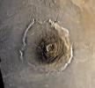
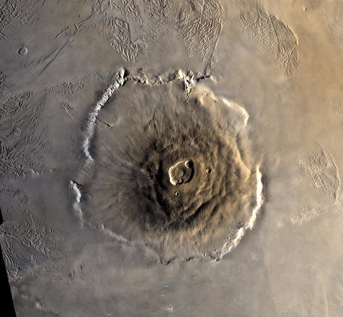
2001-01-17 | Mars |
Mars Global Surveyor (MGS) |
4000x2769x3 | |
|
|||||
|
|
2000-08-05 | Mercury |
Mariner Venus Mercury (Mariner 10) |
356x311x1 | |
|
|||||
|
|
2000-08-05 | Mercury |
Mariner Venus Mercury (Mariner 10) |
356x311x1 | |
|
|||||
|
|
2000-08-05 | Mercury |
Mariner Venus Mercury (Mariner 10) |
311x356x1 | |
|
|||||
|
|
2000-08-05 | Mercury |
Mariner Venus Mercury (Mariner 10) |
311x356x1 | |
|
|||||
|
|
2000-08-05 | Mercury |
Mariner Venus Mercury (Mariner 10) |
311x356x1 | |
|
|||||
|
|
2000-08-05 | Mercury |
Mariner Venus Mercury (Mariner 10) |
356x311x1 | |
|
|||||
|
|
2000-08-05 | Mercury |
Mariner Venus Mercury (Mariner 10) |
311x356x1 | |
|
|||||
|
|
2000-08-06 | Mercury |
Mariner Venus Mercury (Mariner 10) |
356x311x1 | |

|
|||||
|
|
2000-08-05 | Mercury |
Mariner Venus Mercury (Mariner 10) |
311x356x1 | |
|
|||||
|
|
2000-08-05 | Mercury |
Mariner Venus Mercury (Mariner 10) |
311x356x1 | |
|
|||||
|
|
2000-08-05 | Mercury |
Mariner Venus Mercury (Mariner 10) |
311x356x1 | |
|
|||||
|
|
2000-08-05 | Mercury |
Mariner Venus Mercury (Mariner 10) |
356x311x1 | |

|
|||||
|
|
2000-08-05 | Mercury |
Mariner Venus Mercury (Mariner 10) |
356x311x1 | |
|
|||||
|
|
2000-08-05 | Mercury |
Mariner Venus Mercury (Mariner 10) |
356x311x1 | |
|
|||||
|
|
2000-08-24 | Mercury |
Mariner Venus Mercury (Mariner 10) |
1000x778x1 | |
|
|||||
|
|
2000-08-24 | Mercury |
Mariner Venus Mercury (Mariner 10) |
981x792x1 | |
|
|||||
|
|
2000-11-04 | Mars |
Mariner Mars 1964 (Mariner 4) |
600x550x1 | |

|
|||||
|
|
2000-11-04 | Mars |
Mariner Mars 1964 (Mariner 4) |
479x450x1 | |
|
|||||
|
|
2000-11-04 | Mars |
Mariner Mars 1969 (Mariner 7) |
640x360x1 | |
|
|||||
|
|
2000-11-04 | Mars |
Viking |
1124x1040x3 | |
|
|||||
|
|
2000-11-04 | Mars |
Mariner Mars 1971 (Mariner 9) |
2701x2116x1 | |
|
|||||
|
|
2000-11-04 | Mars |
Viking |
595x742x3 | |
|
|||||
|
|
2000-11-04 | Mars |
Viking |
1169x1055x1 | |
|
|||||
|
|
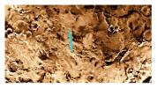
2000-11-04 | Earth |
Shuttle Imaging Radar A (SIR-A) |
2452x3228x3 | |
|
|||||
|
|
2000-11-07 | Mars |
Viking |
600x600x3 | |

|
|||||

|
 |
|
 |
 |
|
|
|
|
|
|

|
| 1-100 | 101-200 | 201-300 | 301-400 | 401-500 | 501-600 | 601-700 | 701-800 | 801-900 | 901-1000 |
| Currently displaying images: 201 - 300 of 19634 |