|
Your search criteria found 121 images Target is Saturn (and available satellites) |
| My List |
Addition Date
|
Target | Mission | Instrument | Size |

|
2000-05-25 | S Rings |
Voyager |
VG ISS - Narrow Angle |
513x691x1 |
|
|||||
|
|
2000-05-25 | Titan |
Voyager |
VG ISS - Narrow Angle |
800x800x1 |
|
|||||
|
|
2000-05-25 | Iapetus |
Voyager |
VG ISS - Narrow Angle |
174x433x1 |
|
|
|||||
|
|
2000-05-25 | S Rings |
Voyager |
VG ISS - Narrow Angle |
800x600x1 |

|
|||||
|
|
2000-05-25 | S Rings |
Voyager |
VG ISS - Narrow Angle |
270x359x1 |
|
|||||
|
|
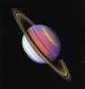
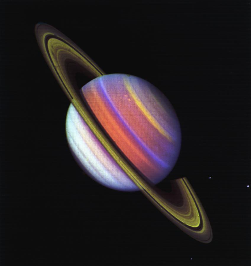
2001-03-28 | Saturn |
Voyager |
VG ISS - Narrow Angle |
849x900x3 |
|
|||||
|
|
2004-12-30 | Iapetus |
Cassini-Huygens Voyager |
VG ISS - Narrow Angle |
1004x507x3 |
|
|||||
|
|
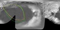
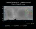
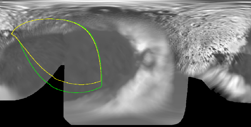
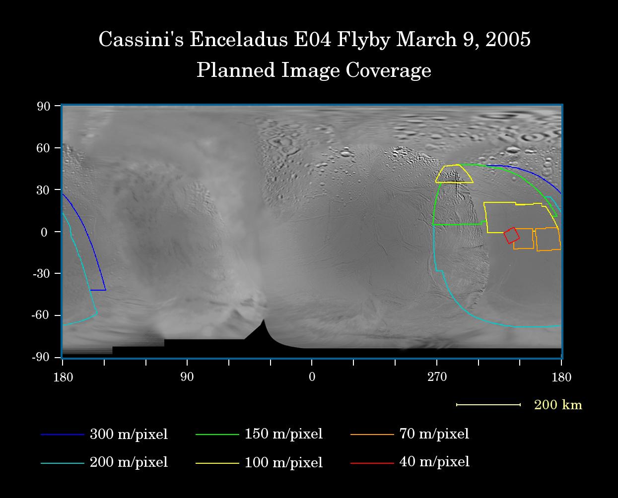
2005-03-08 | Enceladus |
Cassini-Huygens Voyager |
Imaging Science Subsystem |
1245x1004x3 |
|
|||||
|
|
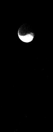
2005-08-03 | Dione |
Voyager |
VG ISS - Narrow Angle |
800x800x1 |

|
|||||
|
|
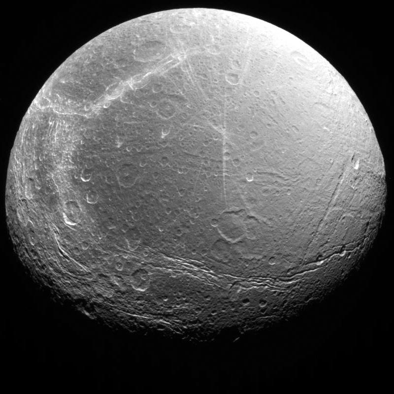
2005-08-30 | Enceladus |
Cassini-Huygens Voyager |
Imaging Science Subsystem |
2488x2448x3 |
|
|||||
|
|
2005-08-30 | Enceladus |
Cassini-Huygens Voyager |
Imaging Science Subsystem |
2488x2448x3 |
|
|||||
|
|
2005-08-30 | Enceladus |
Cassini-Huygens Voyager |
Imaging Science Subsystem |
2488x2448x3 |
|
|||||
|
|
2005-08-30 | Enceladus |
Cassini-Huygens Voyager |
Imaging Science Subsystem |
2488x2448x3 |
|
|||||
|
|
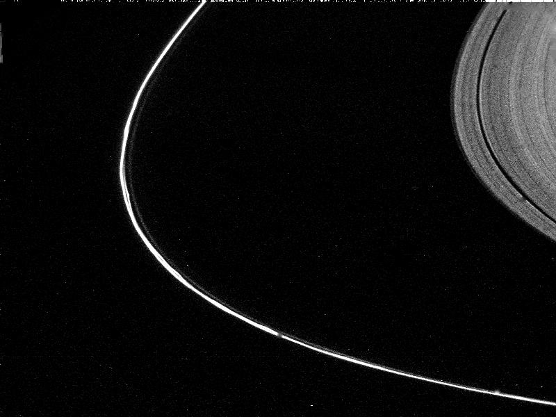
2005-09-05 | S Rings |
Cassini-Huygens Voyager |
ISS - Narrow Angle |
1299x1116x3 |

|
|||||
|
|
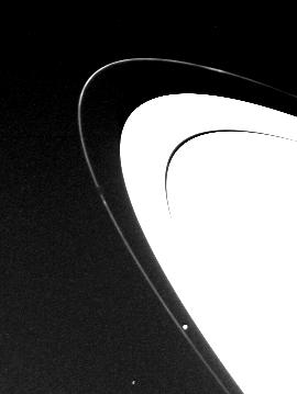
2005-09-05 | S Rings |
Cassini-Huygens Voyager |
ISS - Narrow Angle |
746x756x1 |
|
|||||
|
|
2005-09-20 | Tethys |
Cassini-Huygens Voyager |
Imaging Science Subsystem |
1260x893x3 |
|
|||||
|
|
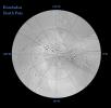
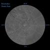
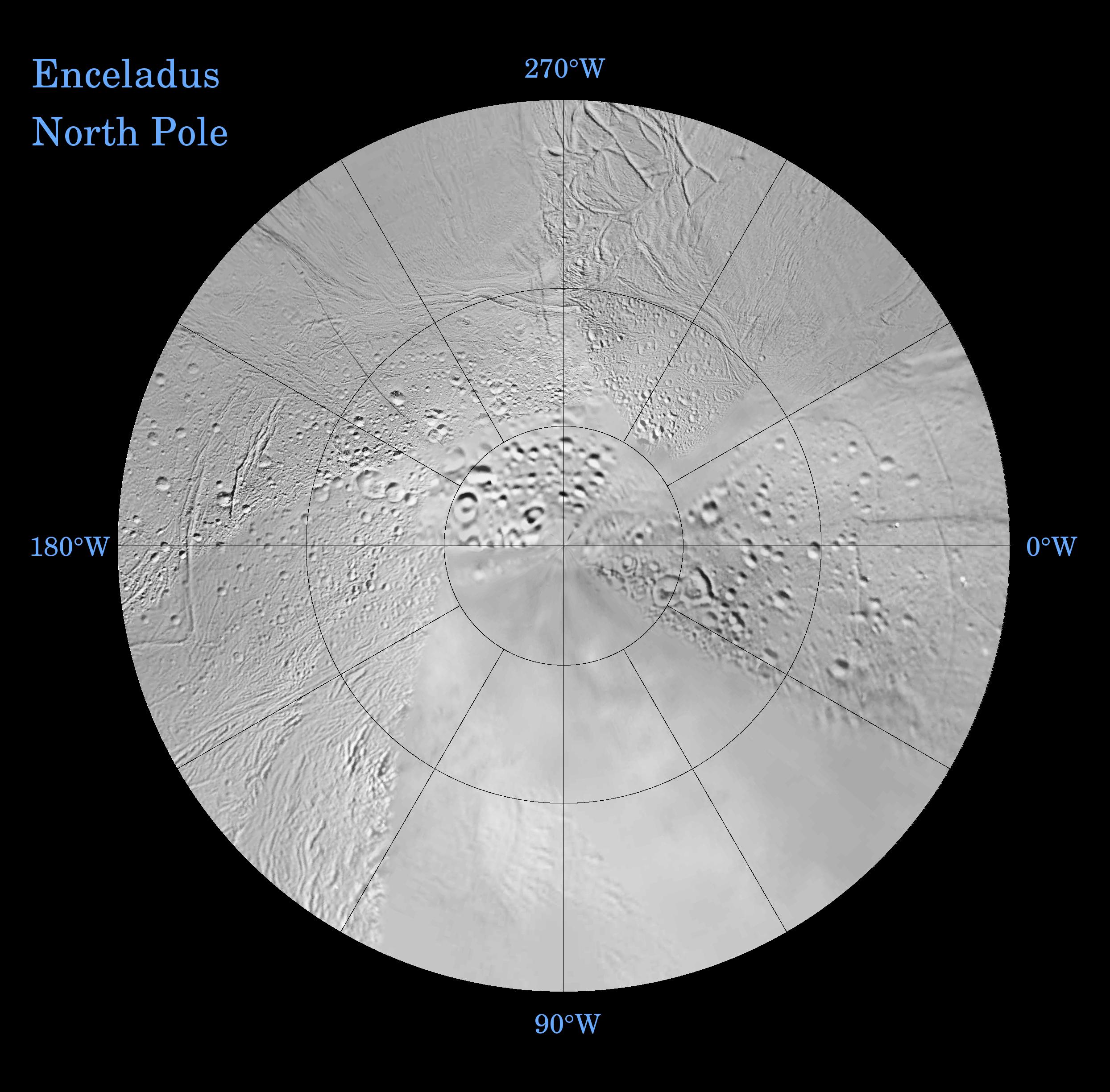
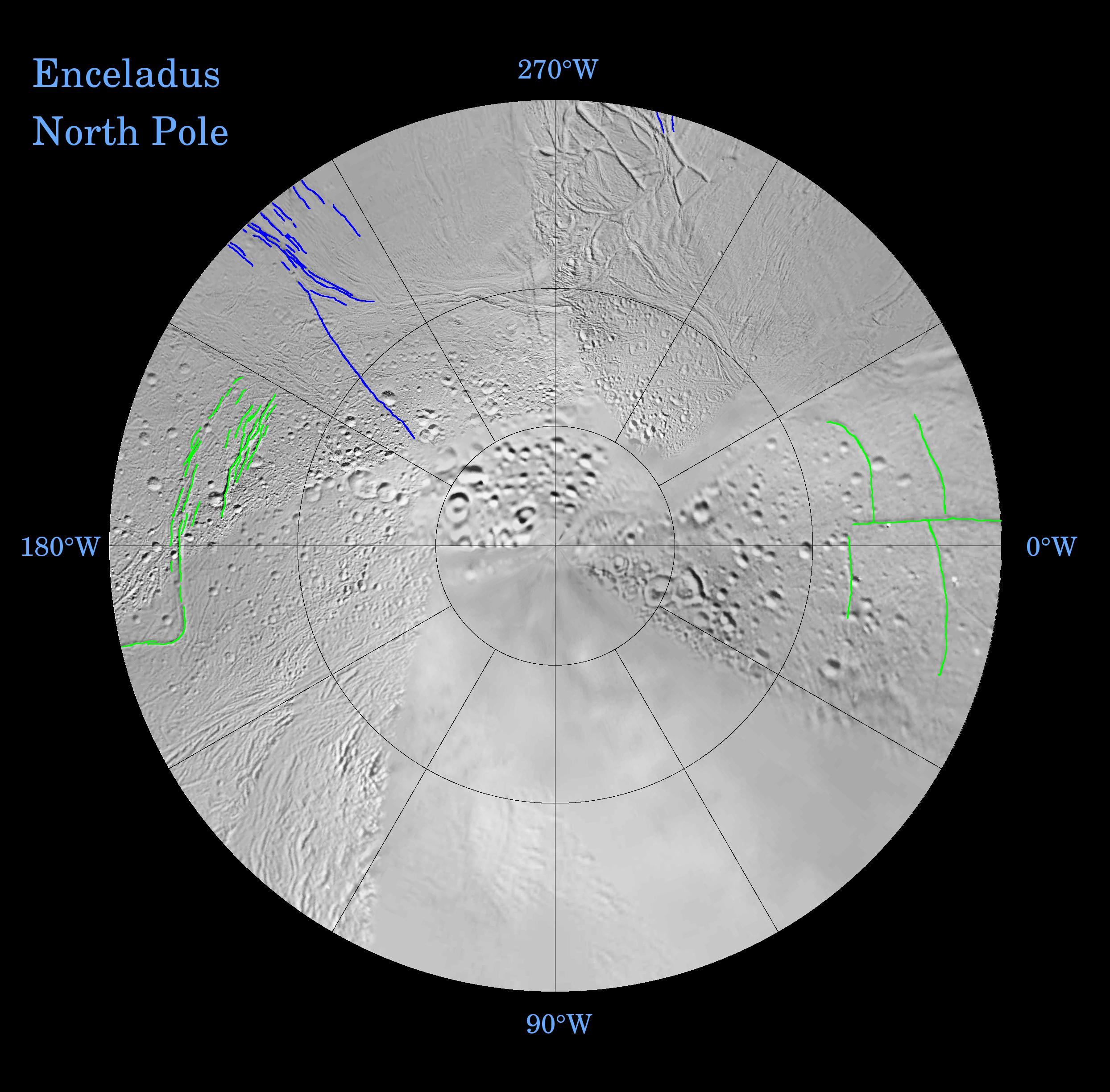
2009-11-11 | Enceladus |
Cassini-Huygens Voyager |
Imaging Science Subsystem |
1244x1244x3 |
|
|||||
|
|
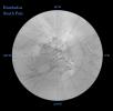
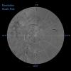
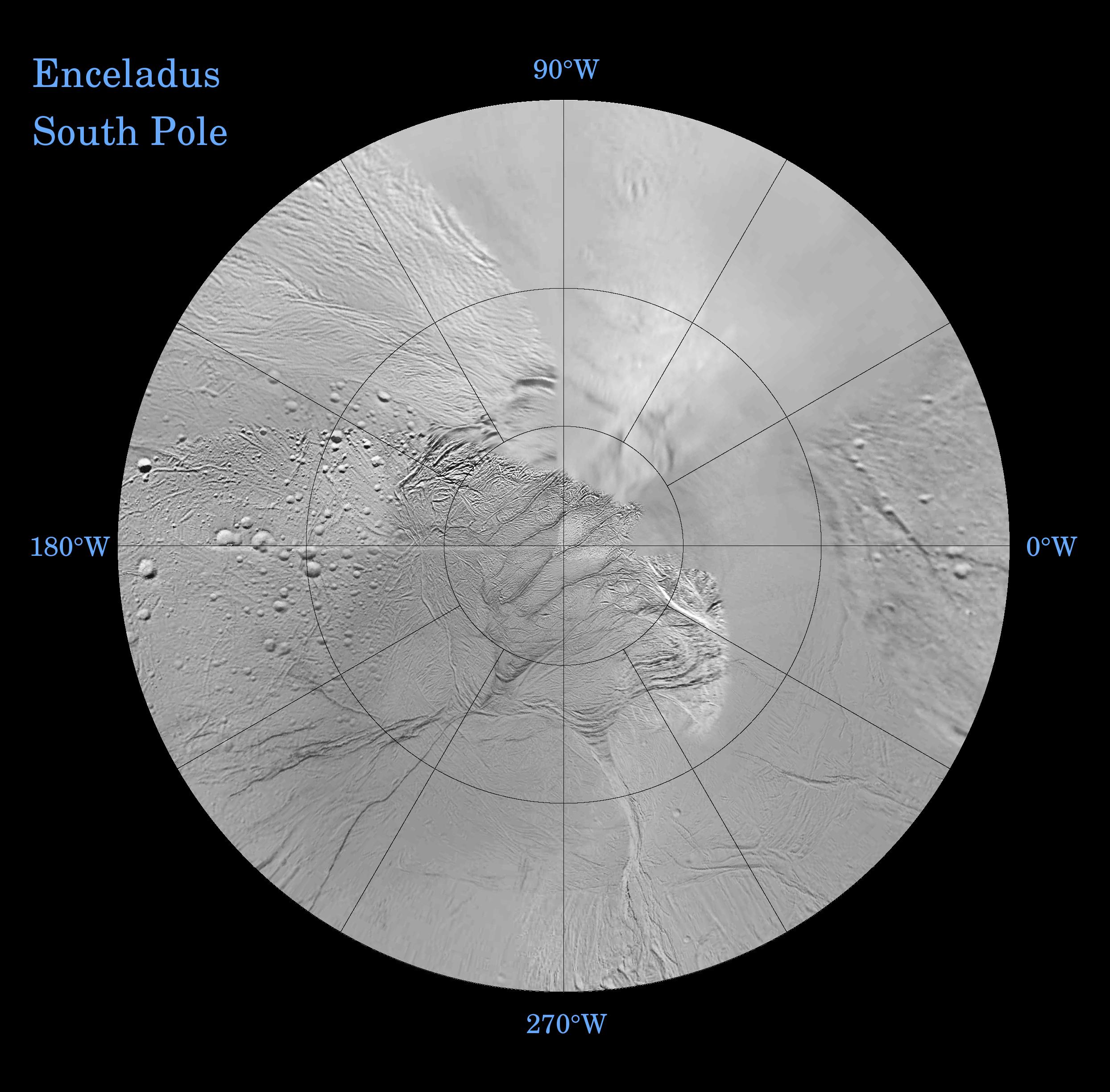
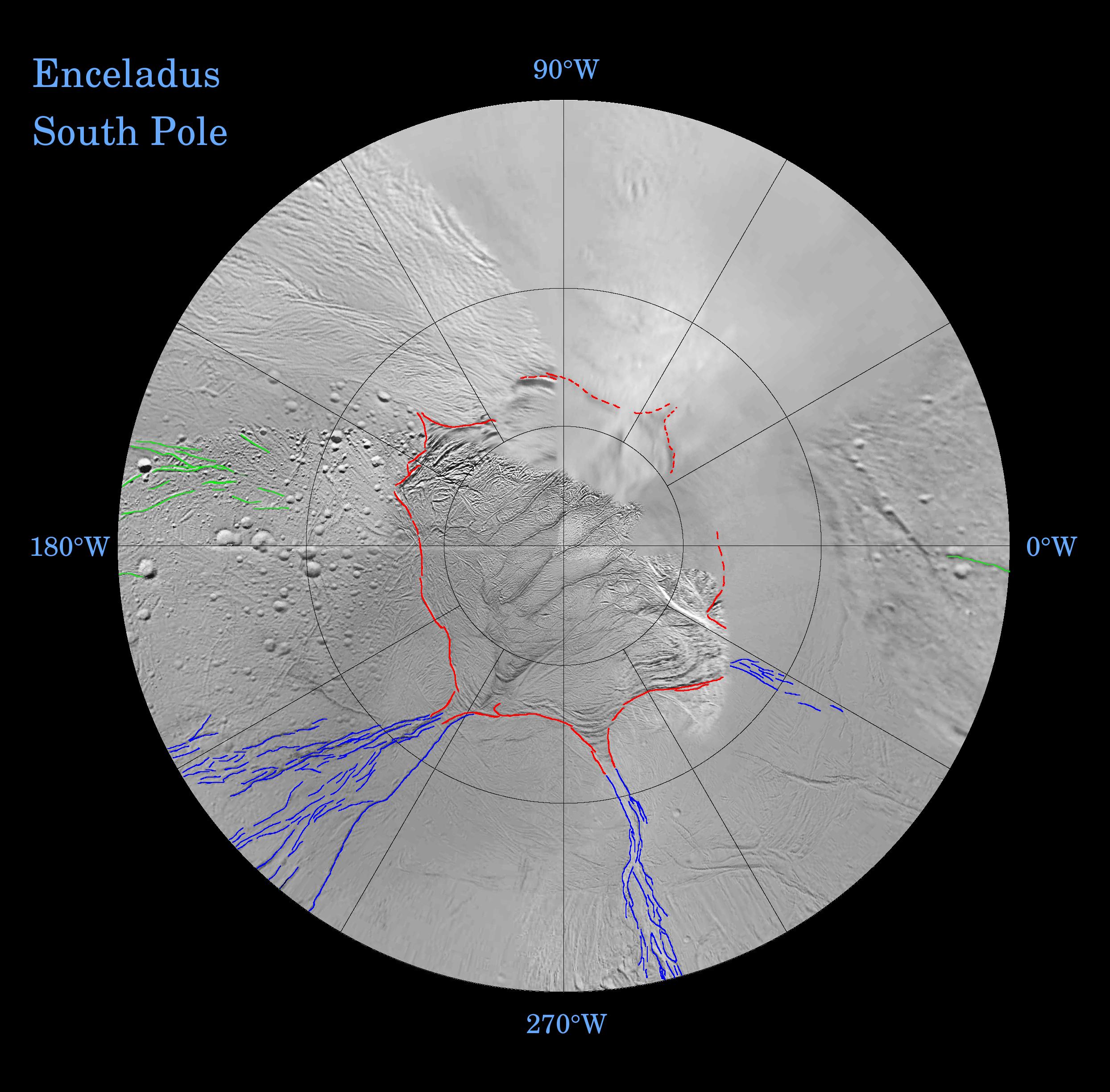
2009-11-11 | Enceladus |
Cassini-Huygens Voyager |
Imaging Science Subsystem |
1244x1244x3 |
|
|||||
|
|
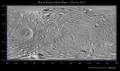
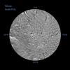
2010-05-13 | Mimas |
Cassini-Huygens Voyager |
Imaging Science Subsystem |
6330x3756x3 |
|
|||||
|
|
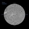
2010-05-13 | Mimas |
Cassini-Huygens Voyager |
Imaging Science Subsystem |
2551x2551x3 |
|
|||||
|
|
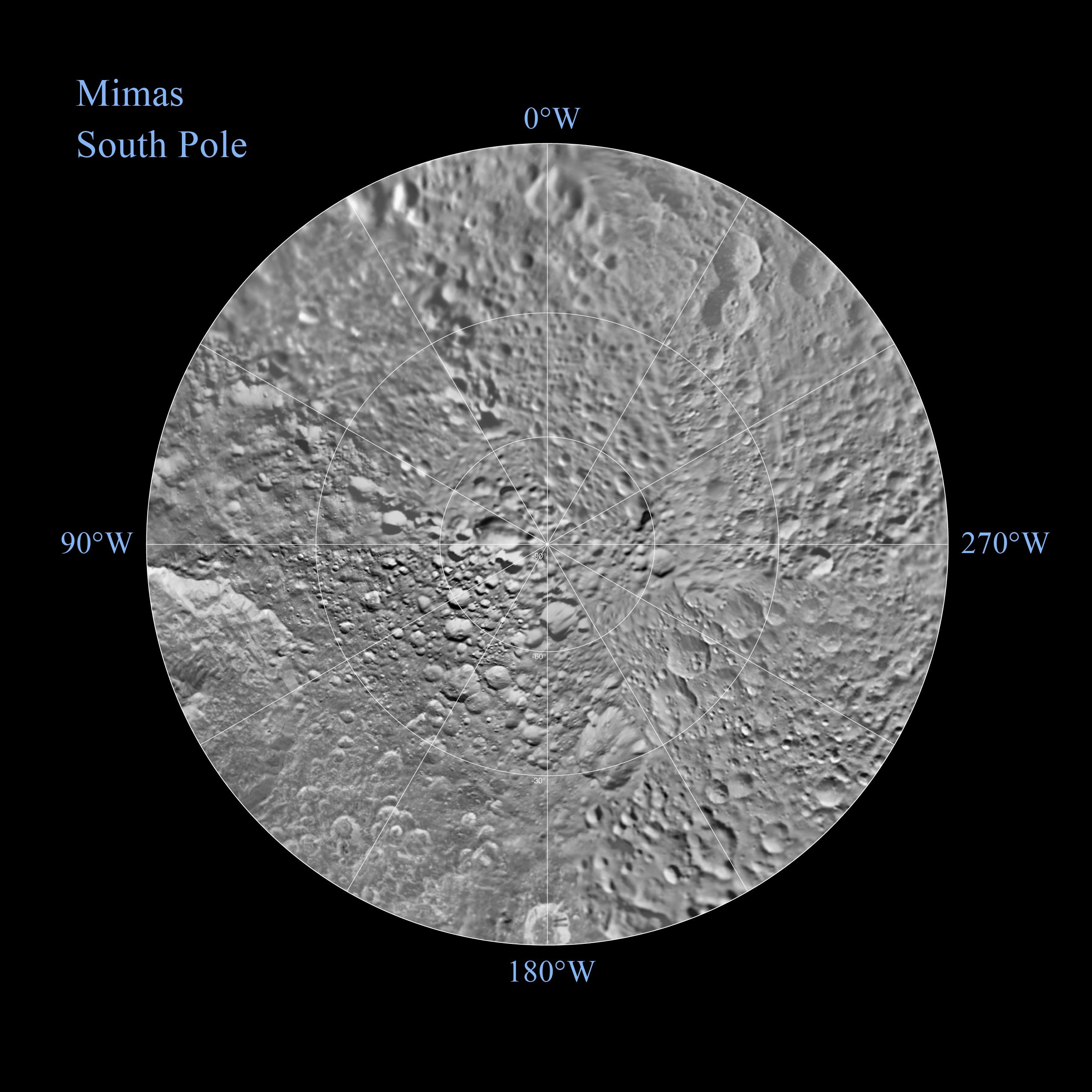
2010-05-13 | Mimas |
Cassini-Huygens Voyager |
Imaging Science Subsystem |
2551x2551x3 |
|
|||||

|
 |
 |
|
| 1-100 | 101-200 |
| Currently displaying images: 101 - 121 of 121 |