|
Your search criteria found 601 images Target is Saturn (and available satellites) |
| My List |
Addition Date | Target | Mission | Instrument |
Size
|

|
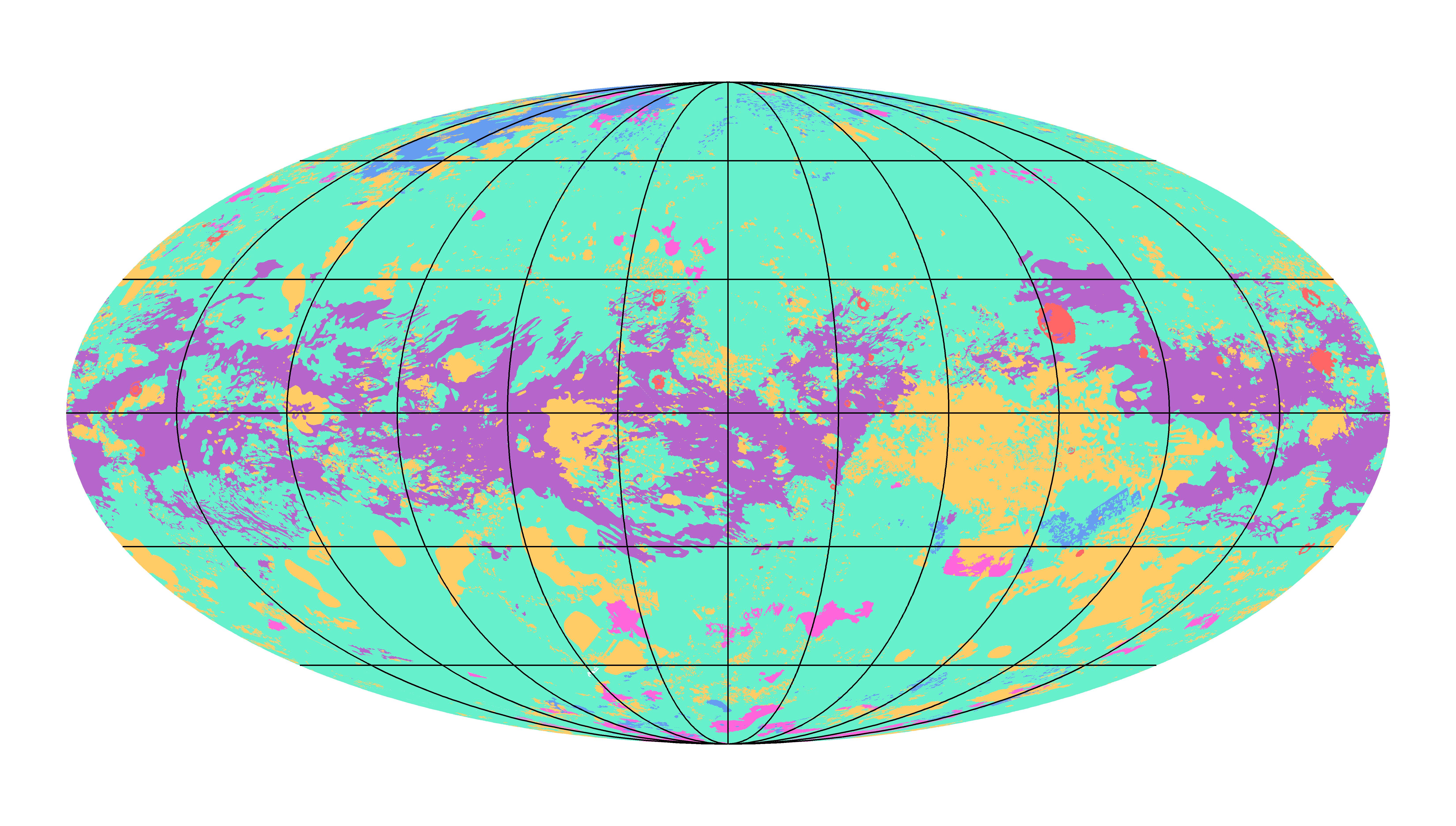
2019-11-18 | Titan |
Cassini-Huygens |
Imaging Science Subsystem Radar Mapper |
6604x3746x3 |
|
|||||

|
 |
|
|
|
|
|
|
| 1-100 | 101-200 | 201-300 | 301-400 | 401-500 | 501-600 |
| Currently displaying images: 601 - 601 of 601 |