Your search criteria found
12755
images
Target is Mars (and available satellites)
Go to PIAxxxxx:
Refine this list of images by:
Target:
Deimos
Mars
Phobos
Mission:
2001 Mars Odyssey
Antarctic Meteorite Location and Mapping Project (AMLAMP)
Dawn
ExoMars
Hubble Space Telescope
InSight
MAVEN
Mariner Mars 1964 (Mariner 4)
Mariner Mars 1969 (Mariner 7)
Mariner Mars 1971 (Mariner 9)
Mars 2020
Mars 2020 Rover
Mars Atmosphere and Volatile Evolution MissioN (MAVEN)
Mars Climate Orbiter
Mars Cube One (MarCO)
Mars Exploration Rover (MER)
Mars Express (MEX)
Mars Global Surveyor (MGS)
Mars Helicopter
Mars Pathfinder (MPF)
Mars Reconnaissance Orbiter (MRO)
Mars Sample Return
Mars Sample Return (MSR)
Mars Science Laboratory (MSL)
Phoenix
Rosetta
Viking
Spacecraft:
2001 Mars Odyssey
Curiosity
Dawn
InSight Mars Lander
Ingenuity
MAVEN
MarCO-B
Mariner 4
Mariner 7
Mariner 9
Mars Climate Orbiter
Mars Express (MEX)
Mars Express (MEX) Orbiter
Mars Global Surveyor Orbiter
Mars Pathfinder Lander
Mars Pathfinder Rover
Mars Reconnaissance Orbiter (MRO)
Mars Sample Return
Mars Science Laboratory (MSL)
NASA's Mars Pathfinder Lander
Opportunity
Perseverance
Philae Lander
Phoenix Lander
Phoenix Mars Lander
Spirit
Viking Lander 1
Viking Lander 2
Viking Orbiter 1
Viking Orbiter 2
Instrument:
Alpha Particle X-ray Spectrometer
Alpha Particle X-ray Spectrometer (MSL)
Atmospheric Structure / Meteorology Instrument
CHIMRA
Camera 1
Camera 2
Chemistry & Mineralogy (CheMin)
Chemistry and Camera (ChemCam)
Comet Infrared and Visible Analyser (CIVA
Compact Reconnaissance Imaging Spectrometer for Mars (CRISM)
Context Camera (CTX)
Deep Space Network
Descent Image Motion Estimation System (DIMES)
Dynamic Albedo of Neutrons
Dynamic Albedo of Neutrons (DAN)
Gamma Ray Spectrometer - Neutron Spectrometer
Gamma Ray Spectrometer Suite
Hazard Avoidance Camera
Hazard Avoidance Camera (M2020)
Hazard Avoidance Camera (MSL)
Heat and Physical Properties Package (HP3)
High Resolution Imaging Science Experiment (HiRISE)
High Resolution Instrument (HRI)
High Resolution Stereo Camera
Imager for Mars Pathfinder
Imaging Ultraviolet Spectrograph
Imaging Ultraviolet Spectrograph (IUVS)
Instrument Context Camera (ICC)
Instrument Deployment Camera (IDC)
Lander Vision System Camera (LCAM)
Magnetometer
Mars Advanced Radar for Subsurface and Ionosphere Sounding (MARSIS)
Mars Advanced Radar for Subsurface and Ionospheric Sounding (MARSIS)
Mars Climate Sounder (MCS)
Mars Color Imager (MARCI)
Mars Descent Imager
Mars Environmental Dynamics Analyzer (MEDA)
Mars Hand Lens Imager (MAHLI)
Mars Horizon Sensor Assembly
Mars Orbiter Camera (MOC)
Mars Orbiter Laser Altimeter
Mars Radiation Experiment
Mastcam
Mastcam-Z
Microscopic Imager
Microscopy Electrochemistry and Conductivity Analyzer (MECA)
Miniature Thermal Emission Spectrometer
Moessbauer Spectrometer
Navigation Camera
Navigation Camera (M2020)
Navigation Camera (MSL)
Neutral Gas and Ion Mass Spectrometer
Neutron Spectrometer
Optical Microscope
Optical Navigation Camera
Panoramic Camera
Planetary Instrument for X-ray Lithochemistry (PIXL)
Radar System
Radiation Assessment Detector (RAD)
Radio Science Subsystem
Robotic Arm
Robotic Arm (MSL)
Robotic Arm Camera (RAC)
Rock Abrasion Tool (RAT)
Rover Cameras
Rover Environmental Monitoring Station (REMS)
Sample Analysis at Mars (SAM)
Scanning Habitable Environments with Raman & Luminescence for Organics and Chemicals (SHERLOC)
Seismic Experiment for Interior Structure (SEIS)
Shallow Subsurface Radar (SHARAD)
Stereo Imager (SSI)
SuperCam
Surface Stereo Imager (SSI)
Thermal Emission Imaging System
Thermal Emission Spectrometer
Thermal and Electrical Conductivity Probe
Thermal and Evolved Gas Analyzer
Trace Gas Orbiter
Visual Imaging Subsystem
Visual Imaging Subsystem - Camera A
Visual Imaging Subsystem - Camera B
Wide Field Planetary Camera 2
Click on an image for detailed information
Click on a column heading to sort in ascending or descending order
My
List
Addition Date
Target
Mission
Instrument
Size
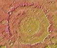
2011-01-05
Mars
Mars Reconnaissance Orbiter (MRO)
HiRISE
2560x1920x3
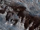
PIA13725:
Layered Bedrock in Candor Chasma
Full Resolution:
TIFF
(14.76 MB)
JPEG
(831.1 kB)
2011-01-05
Mars
2001 Mars Odyssey
THEMIS
1340x2772x1
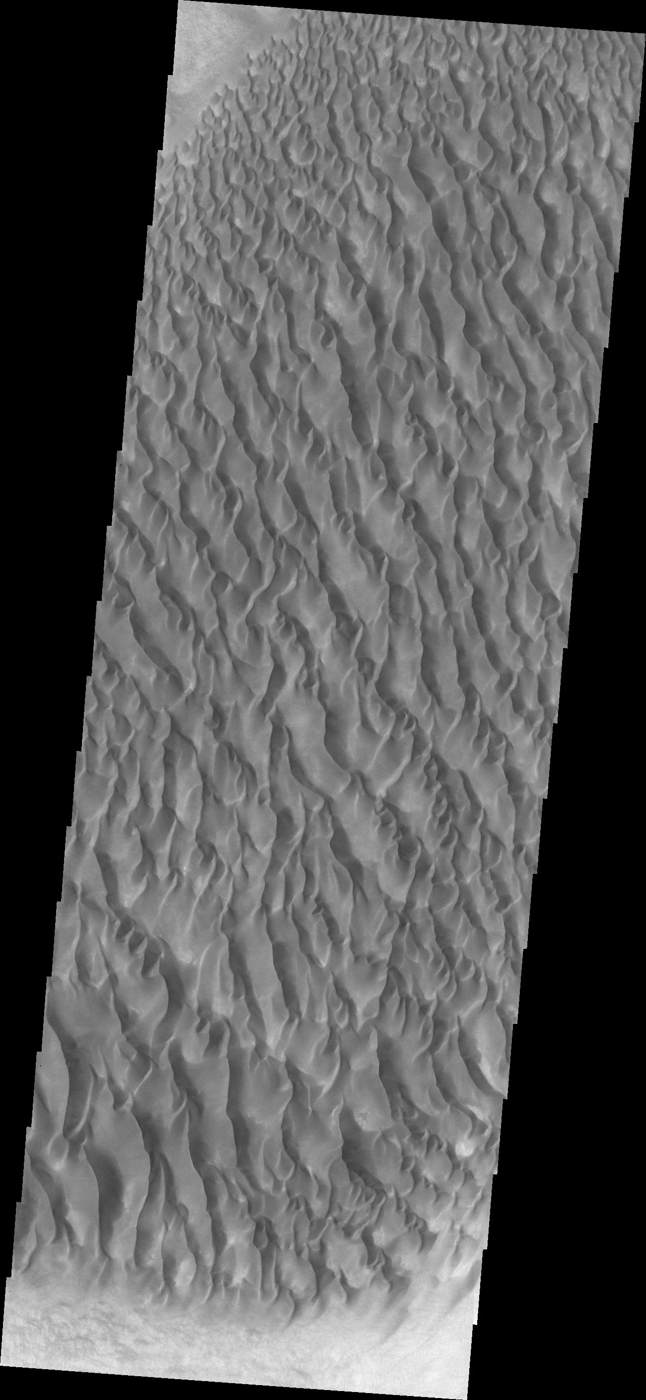
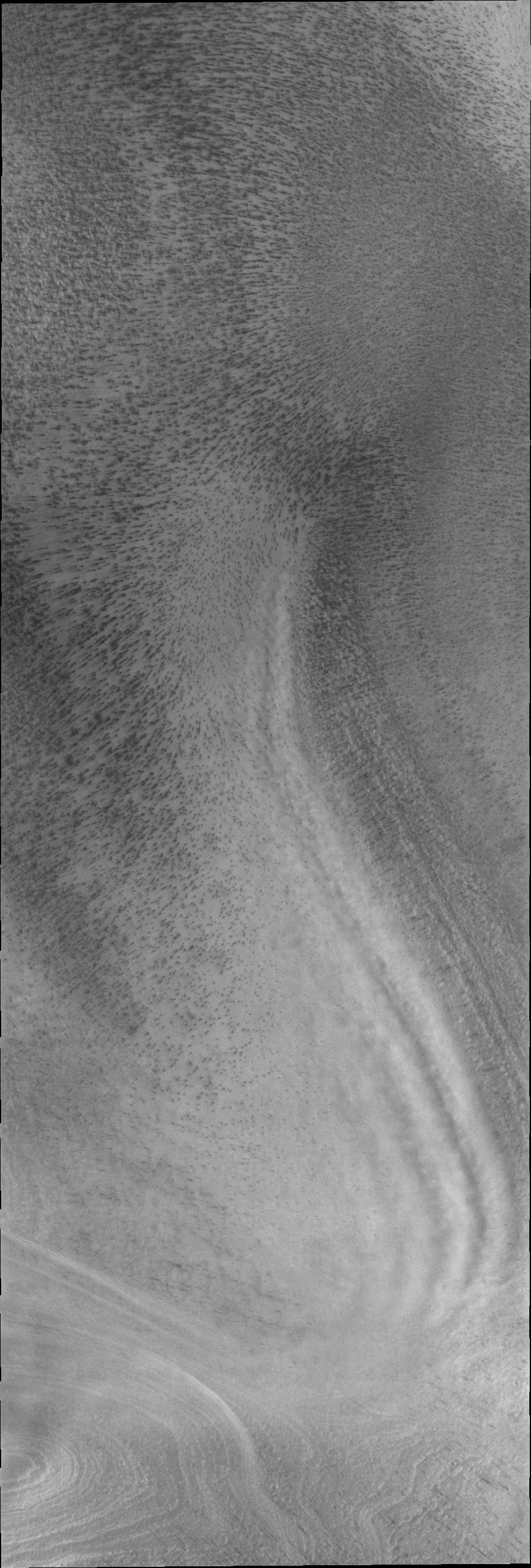
PIA13772:
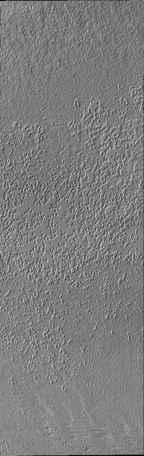
Wind Erosion
Full Resolution:
TIFF
(3.718 MB)
JPEG
(447.5 kB)
2011-01-06
Mars
2001 Mars Odyssey
THEMIS
934x2769x1
PIA13773:
South Pole
Full Resolution:
TIFF
(2.589 MB)
JPEG
(265.6 kB)
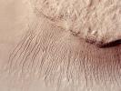
2011-01-07
Mars
2001 Mars Odyssey
THEMIS
993x2845x1
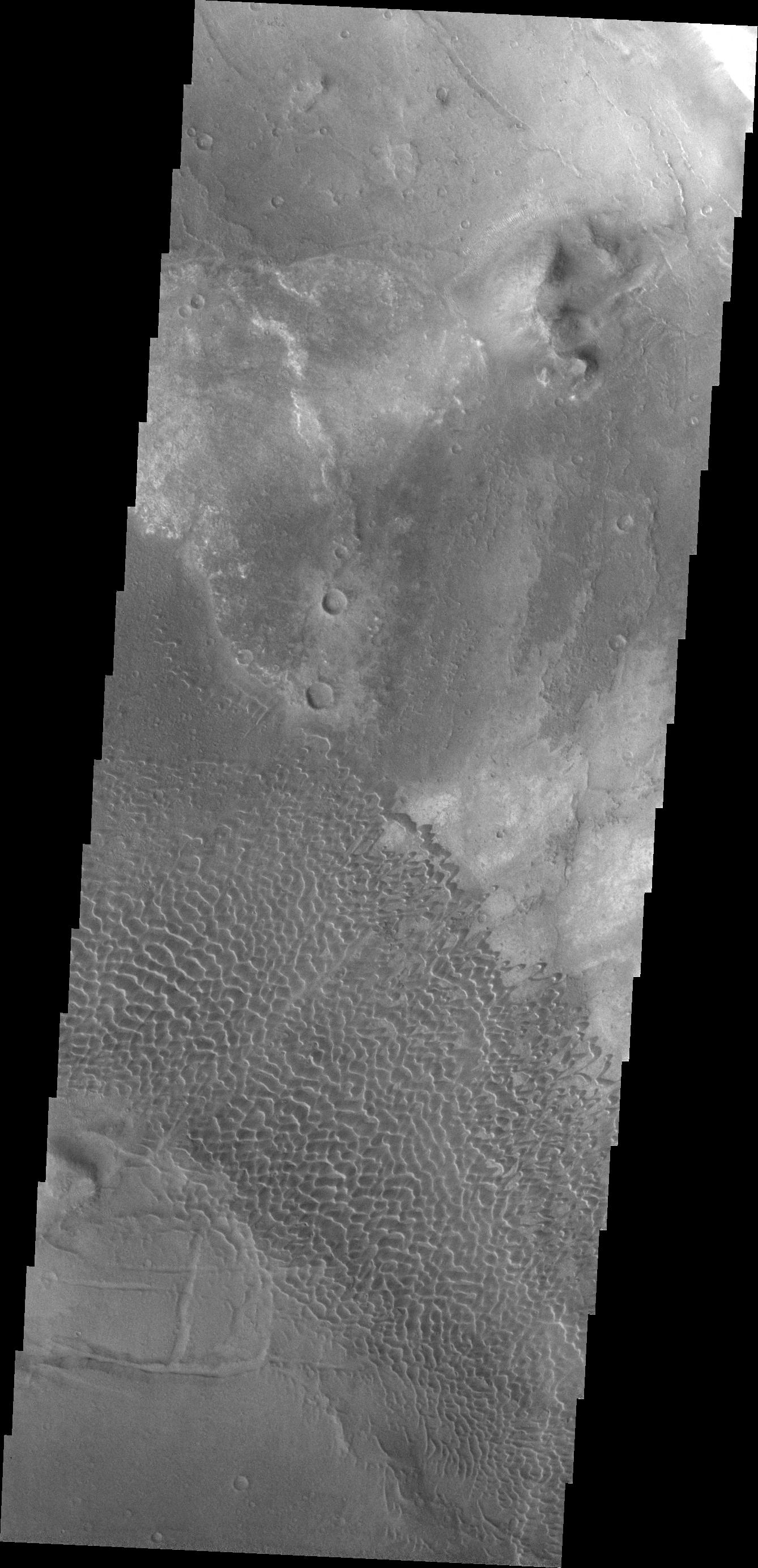
PIA13774:
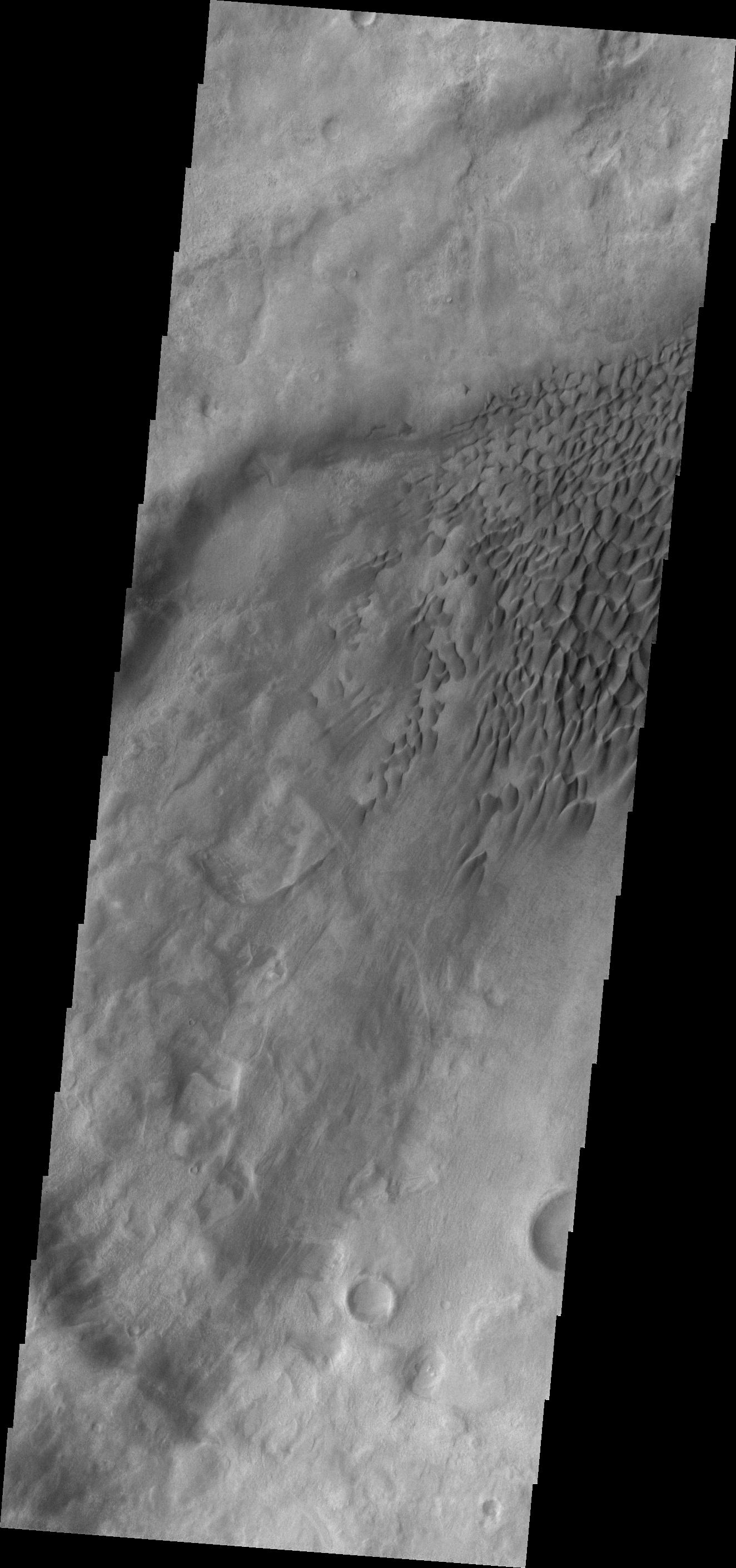
Richardson Crater Dunes
Full Resolution:
TIFF
(2.828 MB)
JPEG
(308.9 kB)
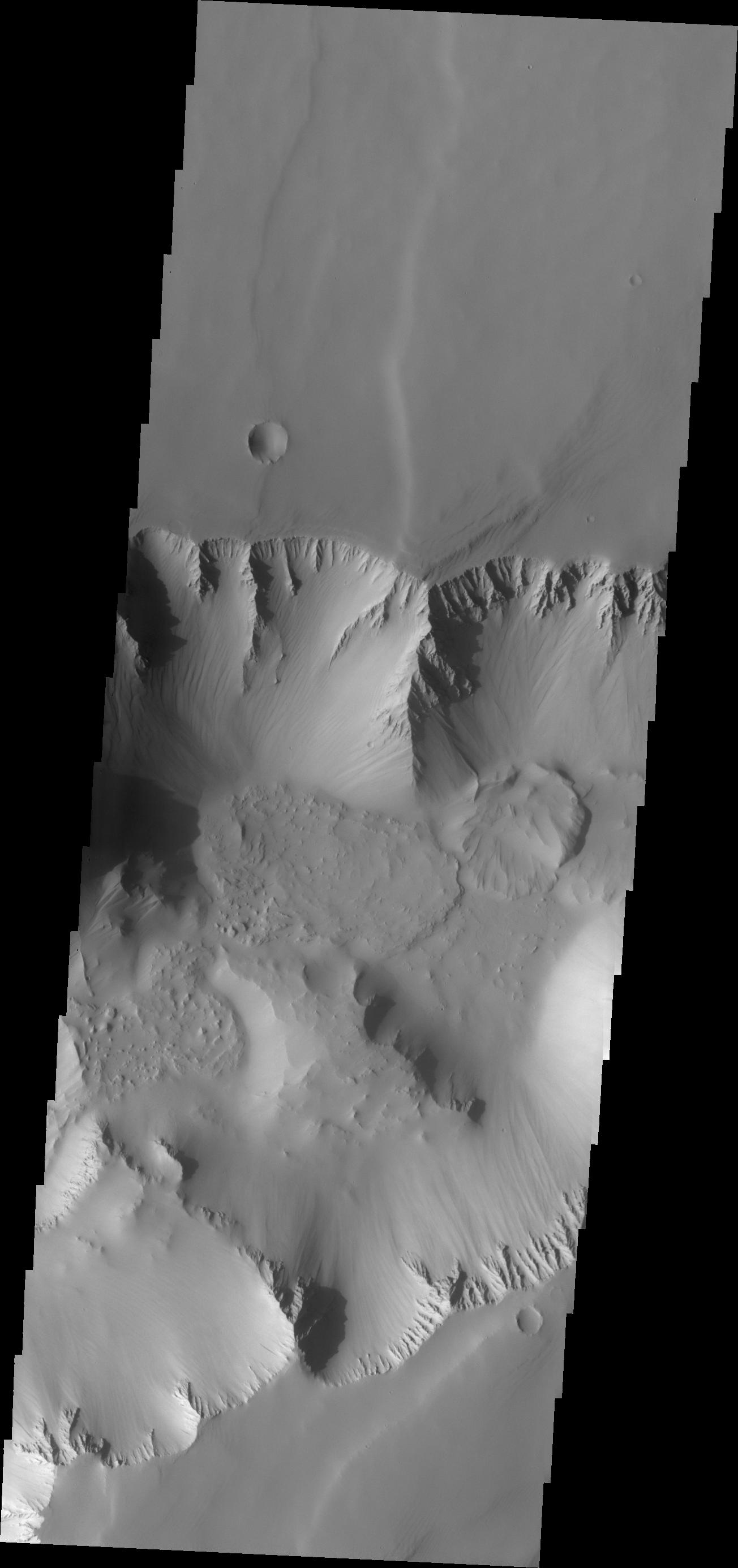
2011-01-10
Mars
2001 Mars Odyssey
THEMIS
1325x2778x1
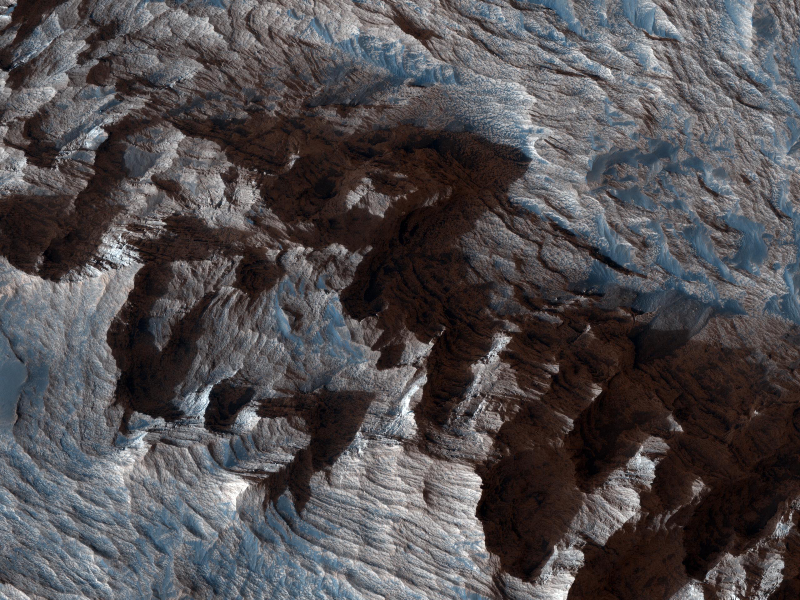
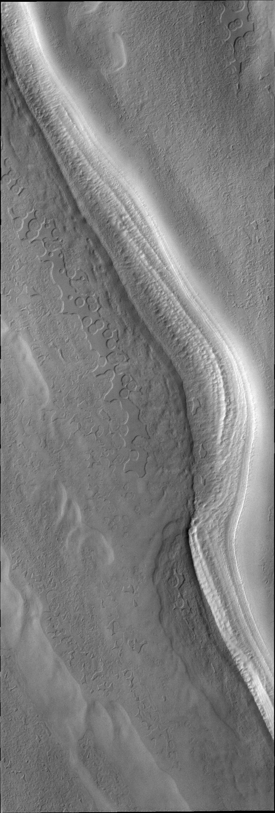
PIA13778:
Ius Chasma Landslide
Full Resolution:
TIFF
(3.685 MB)
JPEG
(327.8 kB)
2011-01-11
Mars
2001 Mars Odyssey
THEMIS
1349x2923x1
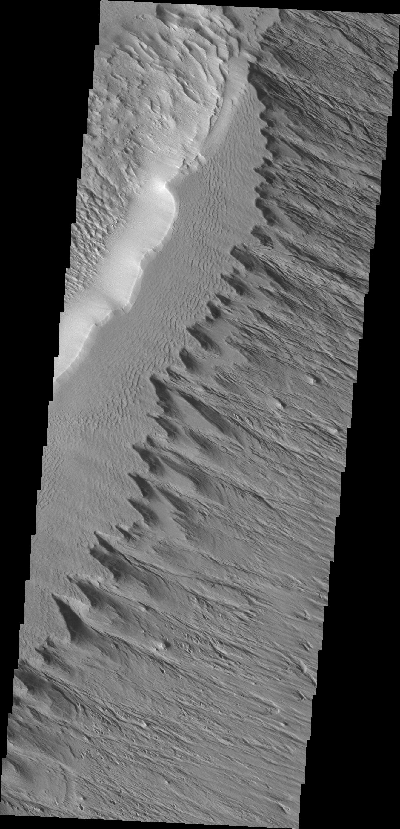
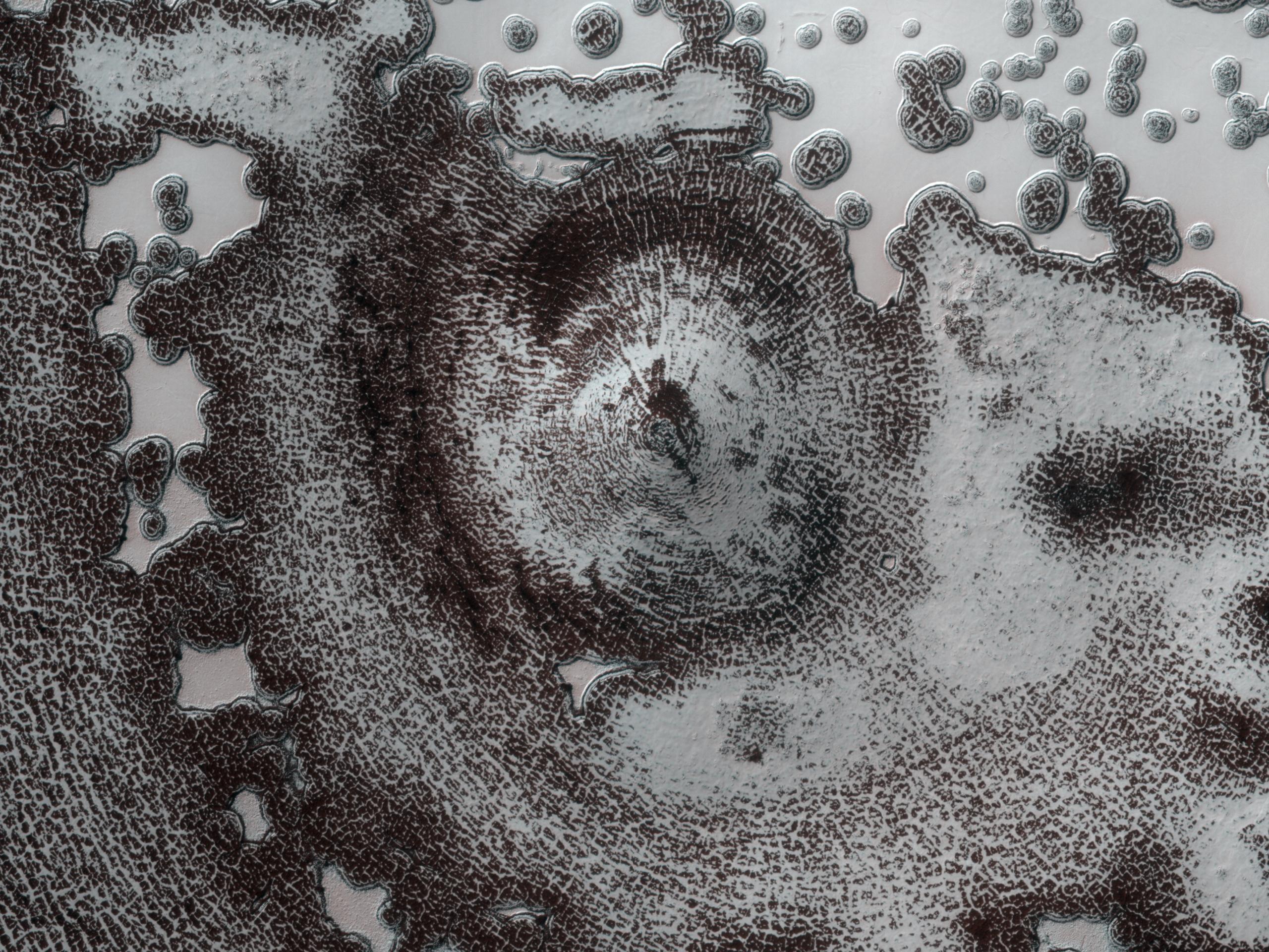
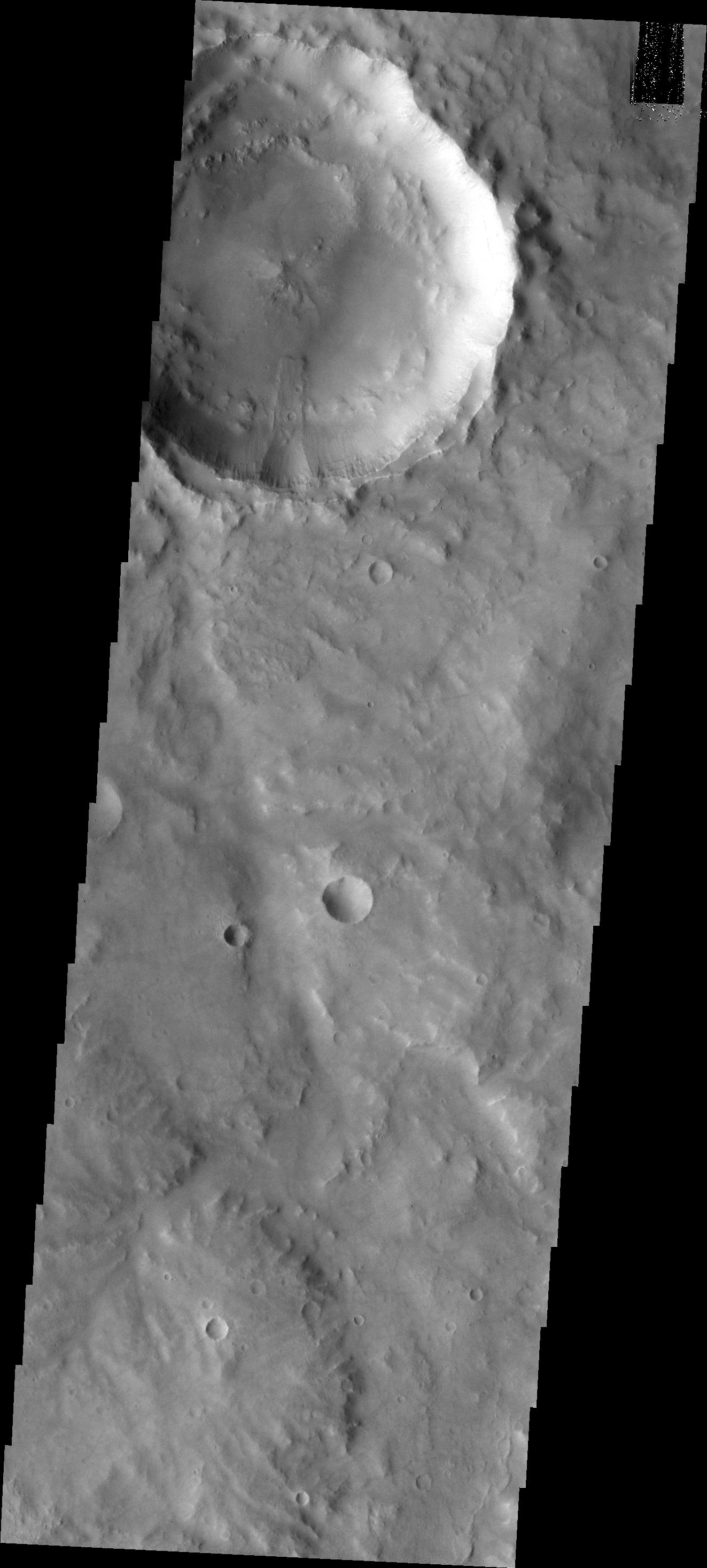
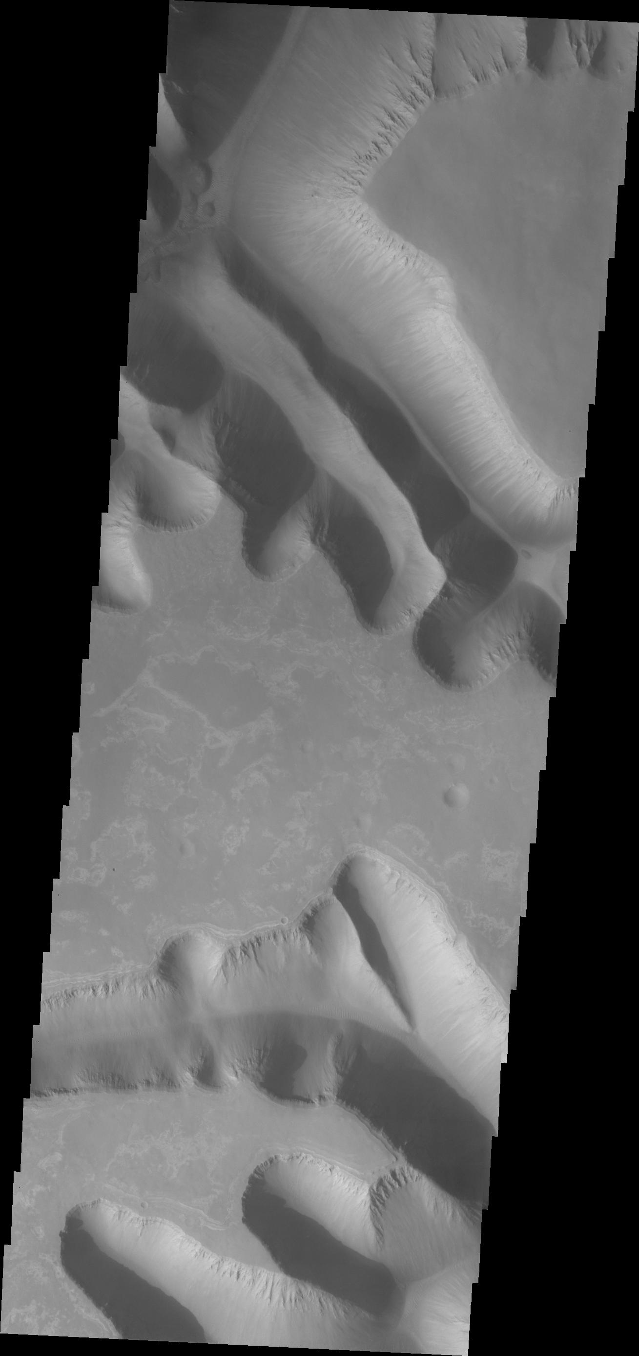
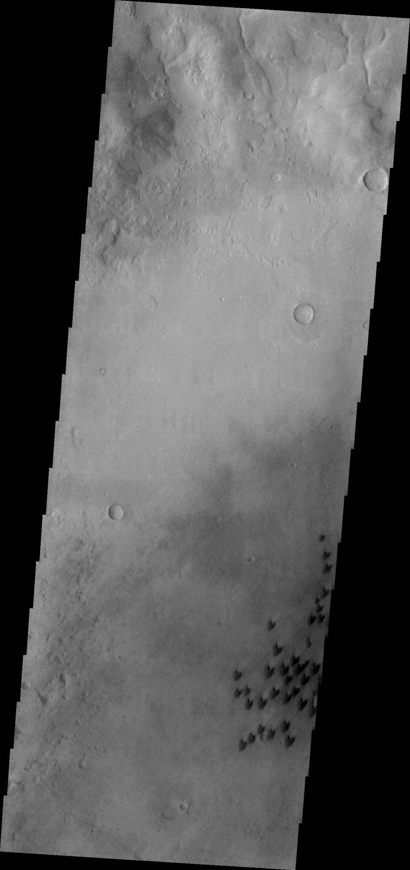
PIA13780:
Avernus Colles
Full Resolution:
TIFF
(3.947 MB)
JPEG
(509.3 kB)
2011-01-12
Mars
Mars Reconnaissance Orbiter (MRO)
HiRISE
2560x1920x3
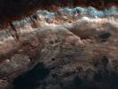
PIA13726:
Layers Exposed in Crater Near Mawrth Vallis
Full Resolution:
TIFF
(14.76 MB)
JPEG
(650.8 kB)
2011-01-12
Mars
2001 Mars Odyssey
THEMIS
1348x2828x1
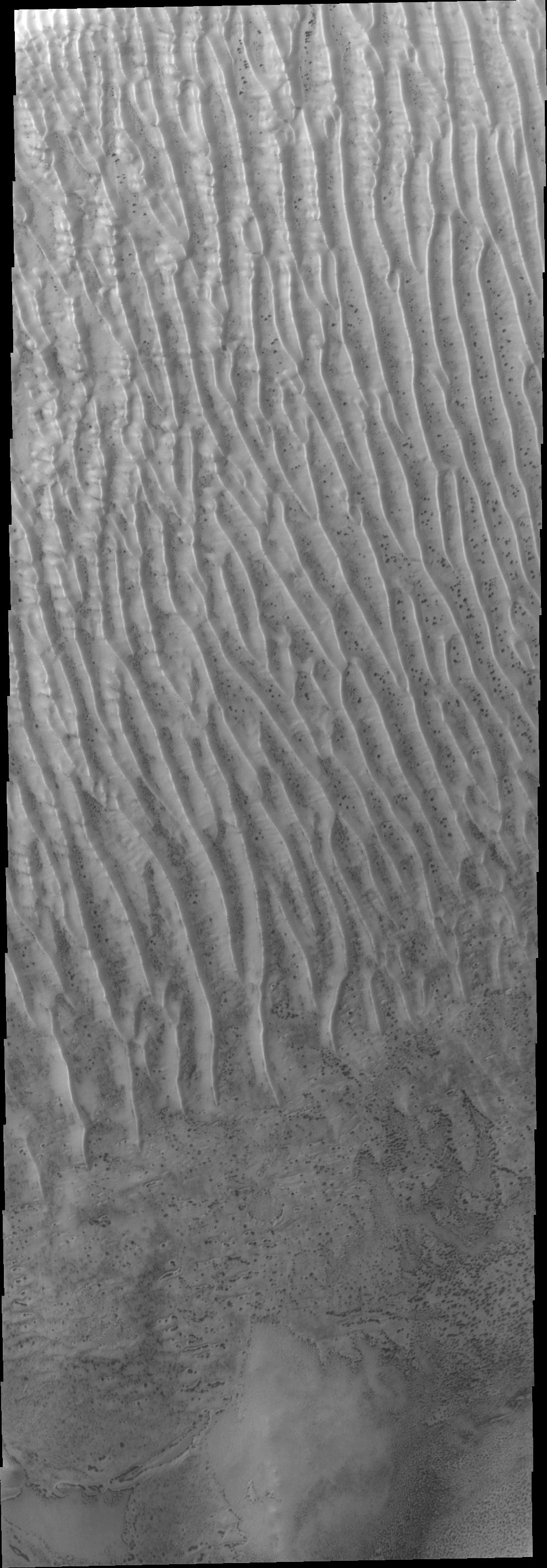
PIA13783:
Russell Crater Dunes
Full Resolution:
TIFF
(3.816 MB)
JPEG
(242.1 kB)
2011-01-13
Mars
Mars Exploration Rover (MER)
Navigation Camera
1027x1036x1
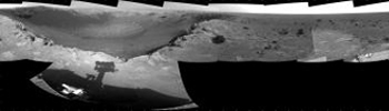
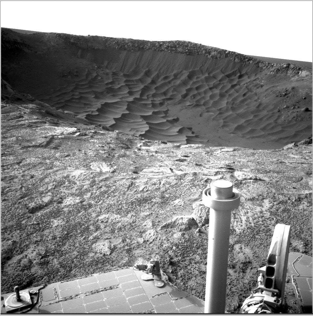
PIA13755:
Textures of 'Santa Maria' Crater, Sol 2476
Full Resolution:
TIFF
(1.065 MB)
JPEG
(226.6 kB)
2011-01-13
Mars
Mars Exploration Rover (MER)
Navigation Camera
7688x1812x1
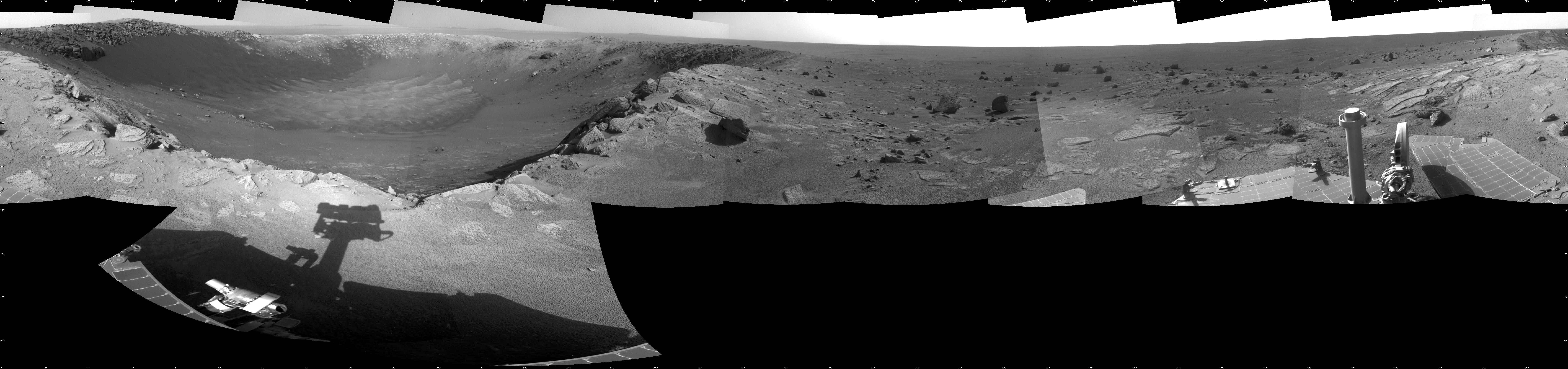
PIA13756:
View of 'Santa Maria' Crater from Western Rim, Sol 2454
Full Resolution:
TIFF
(13.95 MB)
JPEG
(1.253 MB)
2011-01-13
Mars
Mars Exploration Rover (MER)
Navigation Camera
7753x2352x3
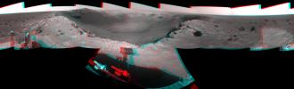
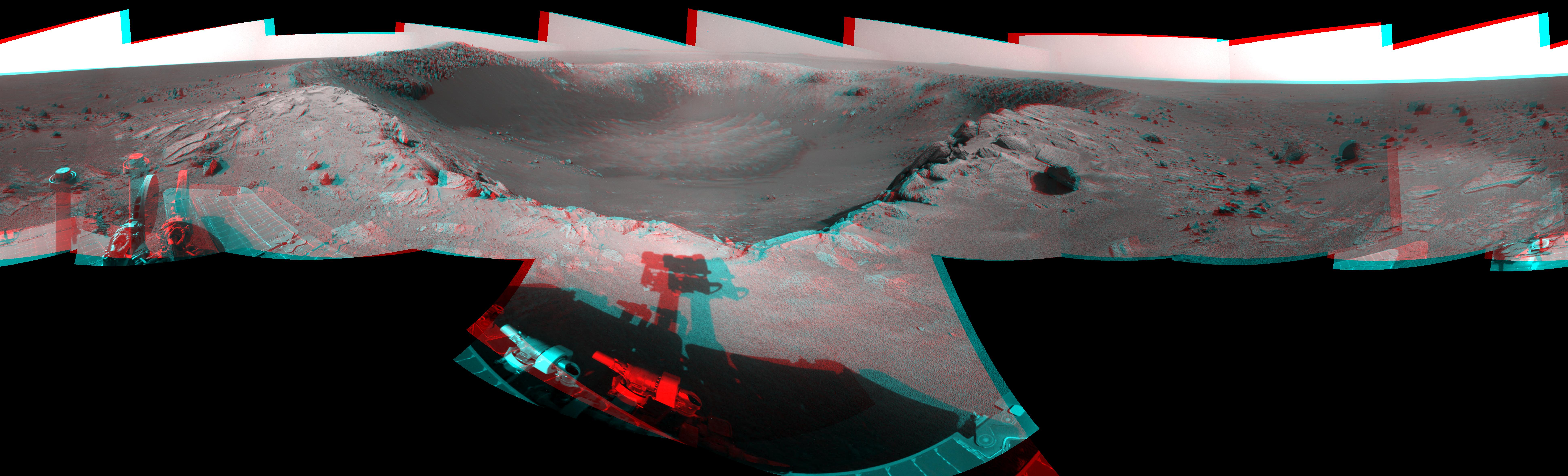
PIA13757:
View of 'Santa Maria' Crater from Western Rim, Sol 2454 (Stereo)
Full Resolution:
TIFF
(54.71 MB)
JPEG
(1.487 MB)
2011-01-13
Mars
Mars Exploration Rover (MER)
Navigation Camera
4187x4187x1
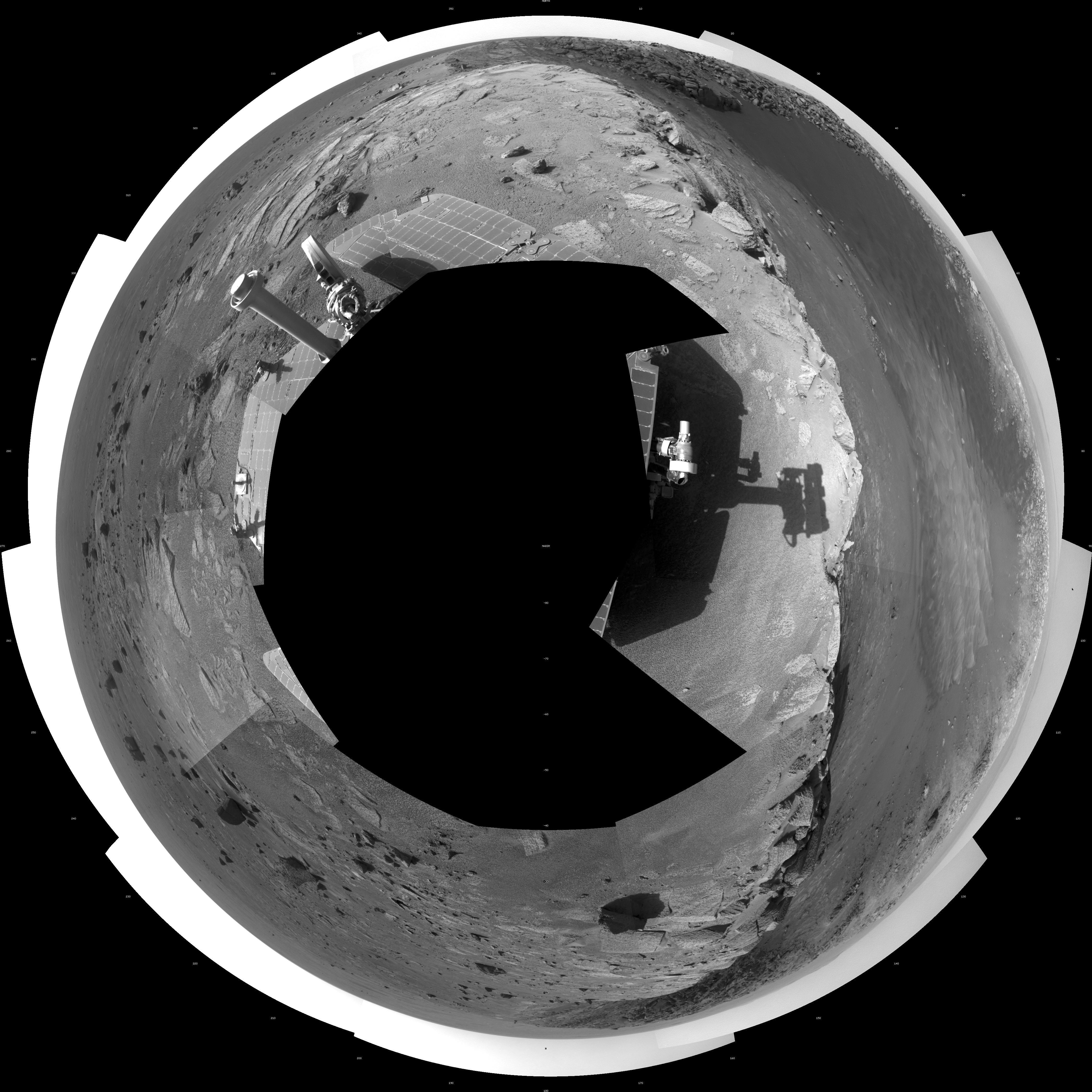
PIA13758:
View of 'Santa Maria' Crater from Western Rim, Sol 2454 (Polar)
Full Resolution:
TIFF
(17.56 MB)
JPEG
(1.44 MB)
2011-01-13
Mars
Mars Exploration Rover (MER)
Navigation Camera
4000x4000x1
PIA13759:
View of 'Santa Maria' Crater from Western Rim, Sol 2454 (Vertical)
Full Resolution:
TIFF
(16.02 MB)
JPEG
(1.38 MB)
2011-01-13
Mars
2001 Mars Odyssey
THEMIS
1037x3084x1
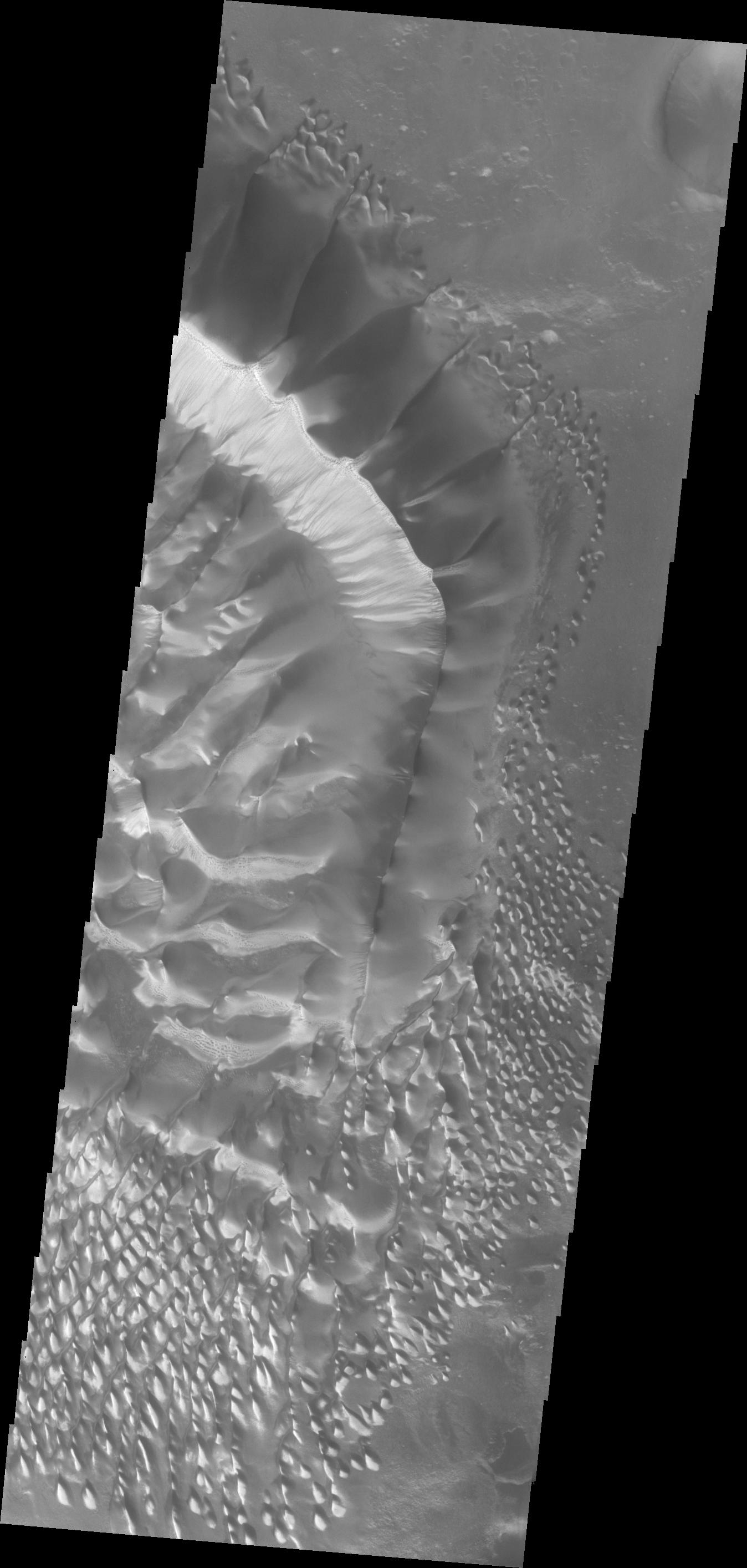
PIA13784:
Wegener Crater Dunes
Full Resolution:
TIFF
(3.202 MB)
JPEG
(289.3 kB)
2011-01-15
Mars
2001 Mars Odyssey
THEMIS
1324x2780x1
PIA13786:
Coprates Chasma
Full Resolution:
TIFF
(3.685 MB)
JPEG
(276 kB)
2011-01-17
Mars
2001 Mars Odyssey
THEMIS
1304x2772x1
PIA13787:
Noctis Labyrinthus
Full Resolution:
TIFF
(3.619 MB)
JPEG
(170.4 kB)
2011-01-18
Mars
2001 Mars Odyssey
THEMIS
1317x2776x1
PIA13788:
Melas Chasma
Full Resolution:
TIFF
(3.66 MB)
JPEG
(194.9 kB)
2011-01-19
Mars
2001 Mars Odyssey
THEMIS
930x2770x1
PIA13811:
South Polar Surface
Full Resolution:
TIFF
(2.579 MB)
JPEG
(619.7 kB)
2011-01-20
Mars
2001 Mars Odyssey
THEMIS
1317x2781x1
PIA13816:
Eos Chasma
Full Resolution:
TIFF
(3.667 MB)
JPEG
(226.4 kB)
2011-01-20
Mars
Mars Exploration Rover (MER)
Panoramic Camera
14745x4000x3
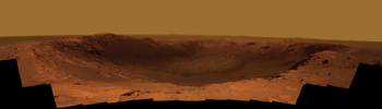
PIA13794:
Color Panorama of 'Santa Maria' Crater for Opportunity's Anniversary
Full Resolution:
TIFF
(176.9 MB)
JPEG
(4.196 MB)
2011-01-20
Mars
Mars Exploration Rover (MER)
Panoramic Camera
14745x4000x3
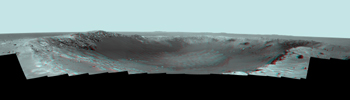
PIA13795:
Panorama of 'Santa Maria' Crater for Opportunity's Anniversary (False Color)
Full Resolution:
TIFF
(176.9 MB)
JPEG
(5.587 MB)
2011-01-20
Mars
Mars Exploration Rover (MER)
Panoramic Camera
14745x4000x3
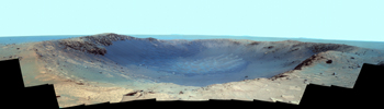
PIA13796:
Stereo Panorama of 'Santa Maria' Crater for Opportunity's Anniversary
Full Resolution:
TIFF
(176.9 MB)
JPEG
(3.45 MB)
2011-01-21
Mars
2001 Mars Odyssey
THEMIS
1324x2774x1
PIA13817:
Wind Erosion
Full Resolution:
TIFF
(3.677 MB)
JPEG
(436.1 kB)
2011-01-21
Mars
Mars Reconnaissance Orbiter (MRO)
HiRISE
2560x1920x3
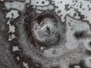
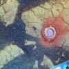
PIA13727:
Circular Feature in South Polar Residual Cap
Full Resolution:
TIFF
(14.76 MB)
JPEG
(937.3 kB)
2011-01-24
Mars
2001 Mars Odyssey
THEMIS
947x2773x1
PIA13813:
South Polar Layers
Full Resolution:
TIFF
(2.629 MB)
JPEG
(257.8 kB)
2011-01-25
Mars
2001 Mars Odyssey
THEMIS
1327x2772x1
PIA13814:
Wind Erosion
Full Resolution:
TIFF
(3.682 MB)
JPEG
(460.7 kB)
2011-01-26
Mars
2001 Mars Odyssey
THEMIS
1345x2767x1
PIA13818:
Volcanic Channels
Full Resolution:
TIFF
(3.726 MB)
JPEG
(365.5 kB)
2011-01-27
Mars
2001 Mars Odyssey
THEMIS
1371x2917x1
PIA13828:
Maumee Valles
Full Resolution:
TIFF
(4.004 MB)
JPEG
(376.8 kB)
2011-01-27
Mars
2001 Mars Odyssey
THEMIS
951x2781x1
PIA13826:
South Polar Layers
Full Resolution:
TIFF
(2.648 MB)
JPEG
(278.8 kB)
2011-01-31
Mars
2001 Mars Odyssey
THEMIS
1343x2767x1
PIA13830:
Linear Ridges
Full Resolution:
TIFF
(3.72 MB)
JPEG
(554.5 kB)
2011-02-02
Mars
2001 Mars Odyssey
THEMIS
1335x2819x1
PIA13832:
Dunes in Aonia Terra
Full Resolution:
TIFF
(3.767 MB)
JPEG
(276.1 kB)
2011-02-02
Mars
Mars Reconnaissance Orbiter (MRO)
HiRISE
2560x1920x3
PIA13728:
Thumbprint Texture on Dark Dunes in Rabe Crater
Full Resolution:
TIFF
(14.76 MB)
JPEG
(553.7 kB)
2011-02-02
Mars
2001 Mars Odyssey
THEMIS
1323x2813x1
PIA13835:
Kaiser Crater Dunes
Full Resolution:
TIFF
(3.726 MB)
JPEG
(199.5 kB)
2011-02-03
Mars
Mars Reconnaissance Orbiter (MRO)
HiRISE
934x1412x3
PIA13797:
Seasonal Changes in Northern Mars Dune Field
Full Resolution:
TIFF
(3.962 MB)
JPEG
(221.3 kB)
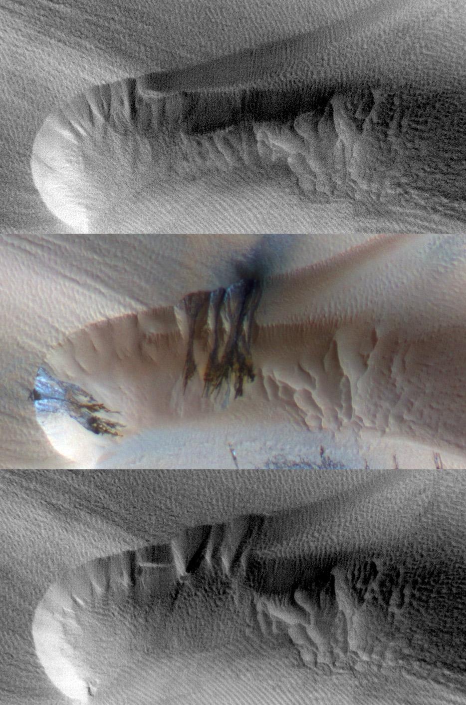
2011-02-04
Mars
2001 Mars Odyssey
THEMIS
1346x2768x1
PIA13837:
Bahram Vallis
Full Resolution:
TIFF
(3.73 MB)
JPEG
(310.9 kB)
2011-02-04
Mars
2001 Mars Odyssey
THEMIS
1324x2819x1
PIA13839:
Dune Fields in Aonia Planum and Aonia Terra
Full Resolution:
TIFF
(3.736 MB)
JPEG
(328.3 kB)
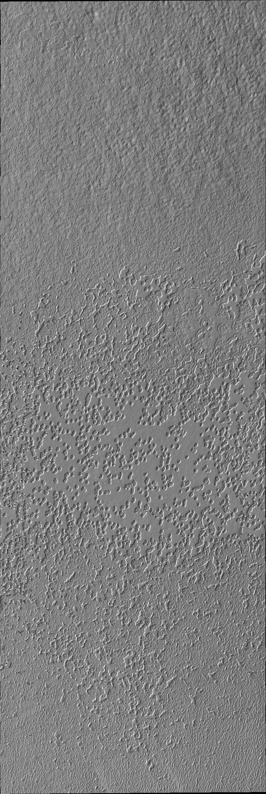
2011-02-07
Mars
2001 Mars Odyssey
THEMIS
462x1461x1
PIA13841:
South Polar Surface
Full Resolution:
TIFF
(675.9 kB)
JPEG
(197.9 kB)
2011-02-08
Mars
2001 Mars Odyssey
THEMIS
1342x2924x1
PIA13842:
Juventae Chasma
Full Resolution:
TIFF
(3.928 MB)
JPEG
(307 kB)
2011-02-09
Mars
2001 Mars Odyssey
THEMIS
1316x2774x1
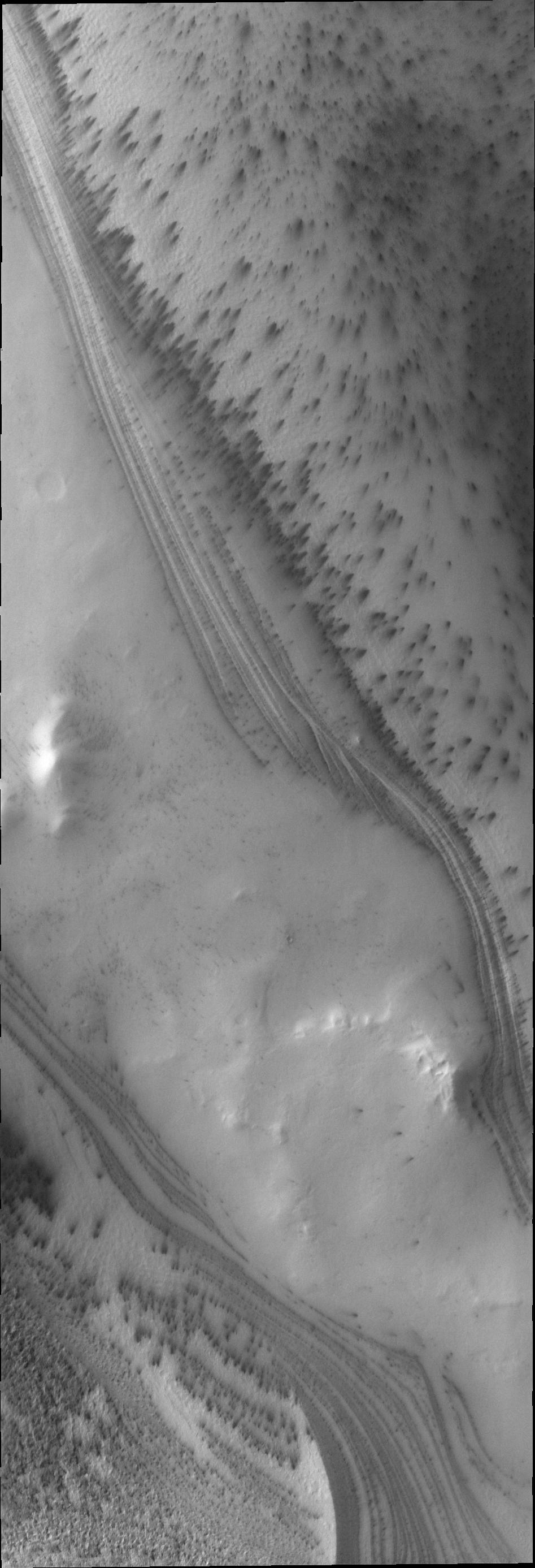
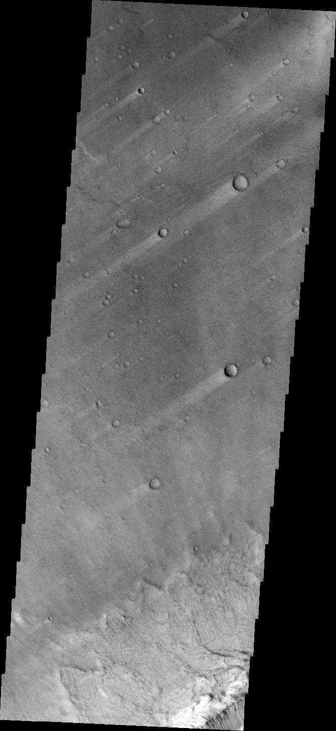
PIA13846:
Windstreak on Daedalia Planum
Full Resolution:
TIFF
(3.655 MB)
JPEG
(613.6 kB)
2011-02-10
Mars
2001 Mars Odyssey
THEMIS
934x2768x1
PIA13848:
South Polar Surface
Full Resolution:
TIFF
(2.588 MB)
JPEG
(435.5 kB)
2011-02-11
Mars
2001 Mars Odyssey
THEMIS
995x2845x1
PIA13849:
Richardson Crater Dunes
Full Resolution:
TIFF
(2.834 MB)
JPEG
(234 kB)
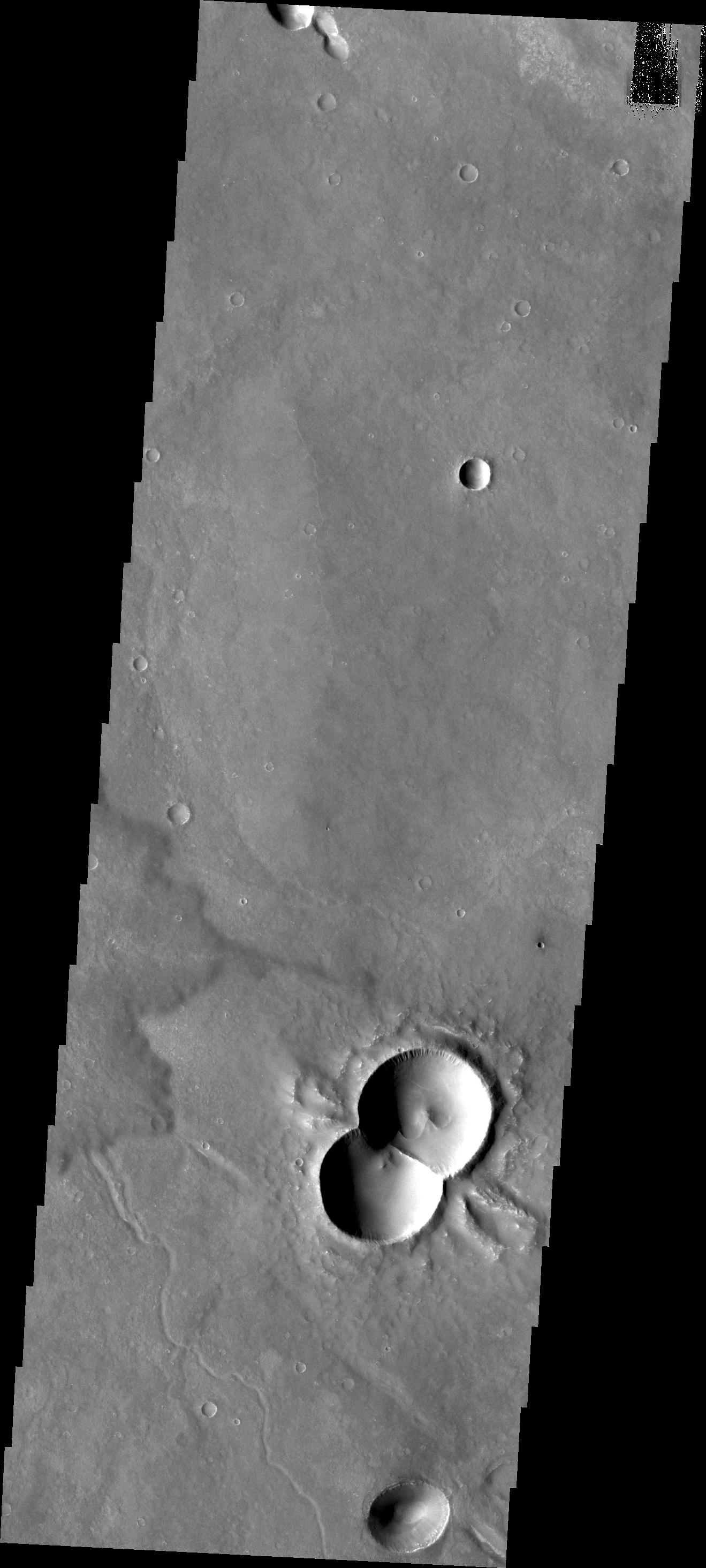
2011-02-14
Mars
2001 Mars Odyssey
THEMIS
1319x2929x1
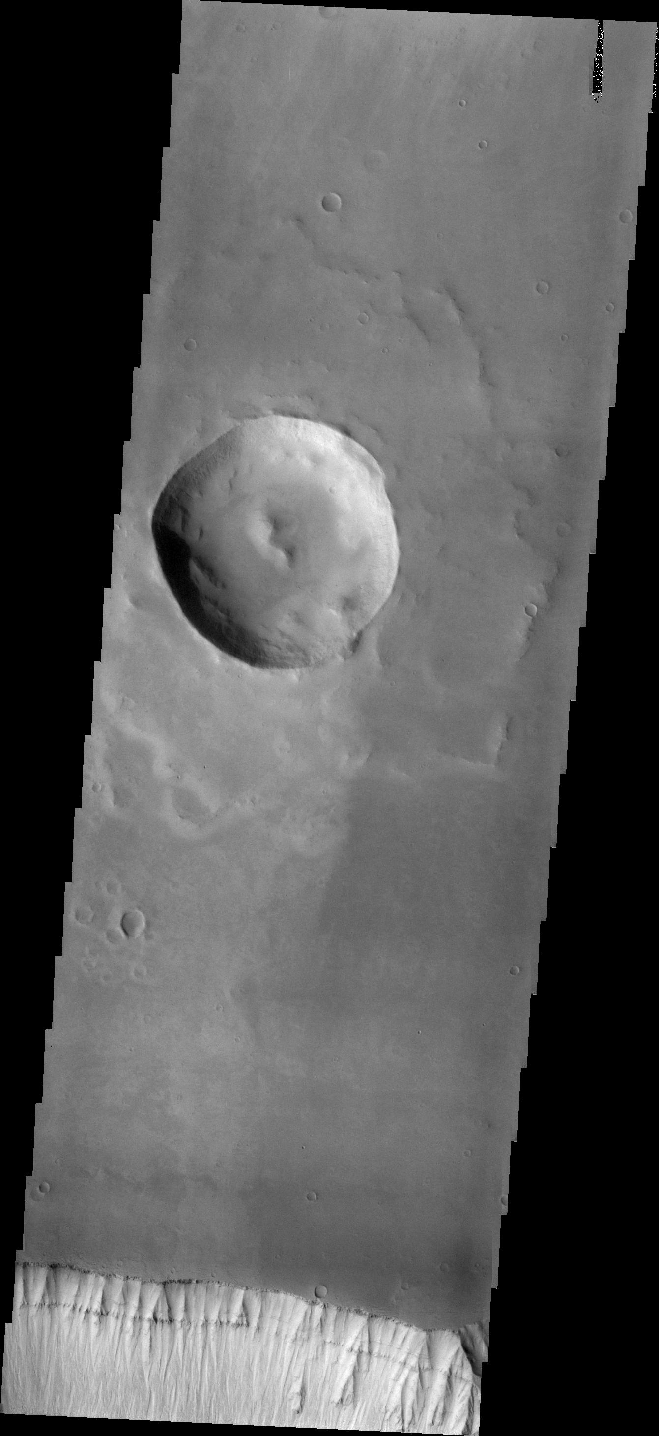
PIA13850:
Doublet Crater
Full Resolution:
TIFF
(3.867 MB)
JPEG
(318.2 kB)
2011-02-14
Mars
Mars Reconnaissance Orbiter (MRO)
CTX
377x487x3
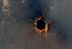
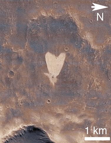
PIA13798:
Heart-Shaped Feature in Arabia Terra
Full Resolution:
TIFF
(185.6 kB)
JPEG
(41.39 kB)
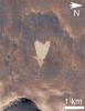
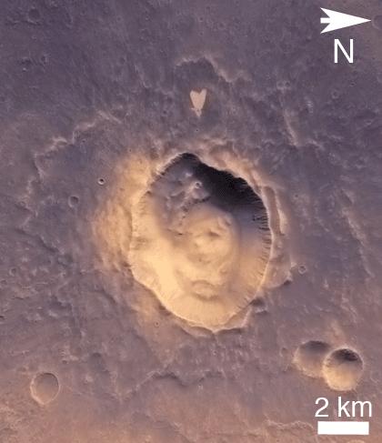
2011-02-14
Mars
Mars Reconnaissance Orbiter (MRO)
CTX
420x487x3
PIA13799:
Heart-Shaped Feature in Arabia Terra (Wide View)
Full Resolution:
TIFF
(206.5 kB)
JPEG
(25.93 kB)
2011-02-15
Mars
2001 Mars Odyssey
THEMIS
1330x2774x1
PIA13854:
Channel in Arabia Terra
Full Resolution:
TIFF
(3.693 MB)
JPEG
(352.8 kB)
2011-02-17
Mars
2001 Mars Odyssey
THEMIS
1026x2900x1
PIA13865:
Pityusa Patera
Full Resolution:
TIFF
(2.979 MB)
JPEG
(361.2 kB)
2011-02-18
Mars
2001 Mars Odyssey
THEMIS
1352x2923x1
PIA13876:
Wind and Rock
Full Resolution:
TIFF
(3.956 MB)
JPEG
(549.5 kB)
2011-02-18
Mars
2001 Mars Odyssey
THEMIS
1325x2774x1
PIA13877:
Delta in Terra Cimmeria
Full Resolution:
TIFF
(3.679 MB)
JPEG
(403.9 kB)
2011-02-21
Mars
2001 Mars Odyssey
THEMIS
1363x2918x1
PIA13878:
Inner Lycus Sulci
Full Resolution:
TIFF
(3.981 MB)
JPEG
(575.7 kB)
2011-02-22
Mars
2001 Mars Odyssey
THEMIS
1305x2780x1
PIA13879:
Windstreaks
Full Resolution:
TIFF
(3.632 MB)
JPEG
(420.9 kB)
2011-02-23
Mars
2001 Mars Odyssey
THEMIS
1324x2773x1
PIA13880:
Channels on Terra Cimmeria
Full Resolution:
TIFF
(3.675 MB)
JPEG
(424.3 kB)
2011-02-24
Mars
2001 Mars Odyssey
THEMIS
1331x2768x1
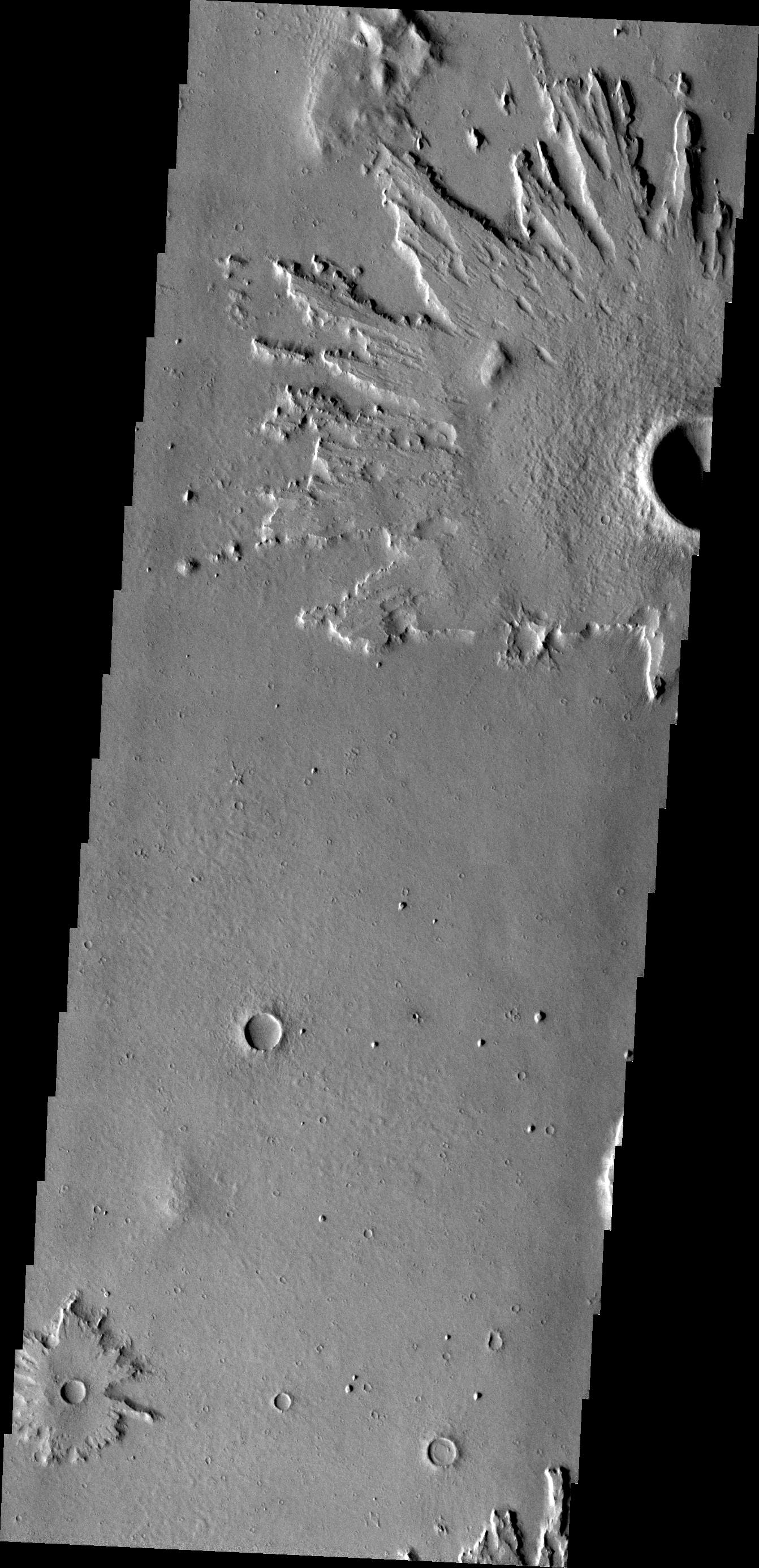
PIA13881:
Tharsis Features
Full Resolution:
TIFF
(3.688 MB)
JPEG
(403.5 kB)
2011-02-25
Mars
2001 Mars Odyssey
THEMIS
1323x2934x1
PIA13883:
Landslide in Margaritifer Terra
Full Resolution:
TIFF
(3.886 MB)
JPEG
(300 kB)
2011-02-28
Mars
2001 Mars Odyssey
THEMIS
1353x2925x1
PIA13884:
Juventae Chasma
Full Resolution:
TIFF
(3.962 MB)
JPEG
(336.5 kB)
2011-03-01
Mars
2001 Mars Odyssey
THEMIS
1342x2770x1
PIA13886:
Crater Ejecta
Full Resolution:
TIFF
(3.721 MB)
JPEG
(479 kB)
2011-03-02
Mars
2001 Mars Odyssey
THEMIS
1327x2980x1
PIA13887:
Russell Crater Dunes
Full Resolution:
TIFF
(3.959 MB)
JPEG
(321.3 kB)
2011-03-03
Mars
2001 Mars Odyssey
THEMIS
1323x2771x1
PIA13889:
Tharsis Features
Full Resolution:
TIFF
(3.67 MB)
JPEG
(517.5 kB)
2011-03-04
Mars
2001 Mars Odyssey
THEMIS
939x2778x1
PIA13903:
South Polar Layers
Full Resolution:
TIFF
(2.612 MB)
JPEG
(332.6 kB)
2011-03-07
Mars
2001 Mars Odyssey
THEMIS
926x2772x1
PIA13906:
South Polar Surface
Full Resolution:
TIFF
(2.57 MB)
JPEG
(387 kB)
2011-03-08
Mars
Mars Reconnaissance Orbiter (MRO)
CRISM
HiRISE
995x599x3
PIA13800:
Fractures in Carbonate-Bearing Rocks at Mars' Huygens Basin
Full Resolution:
TIFF
(1.791 MB)
JPEG
(139 kB)
2011-03-08
Mars
2001 Mars Odyssey
Mars Global Surveyor (MGS)
MOLA
THEMIS
708x605x3
PIA13801:
Nature's Drilling Exposes Deeply Buried Minerals
Full Resolution:
TIFF
(1.287 MB)
JPEG
(85.93 kB)
2011-03-09
Mars
Mars Exploration Rover (MER)
Mars Reconnaissance Orbiter (MRO)
HiRISE
2254x1522x3
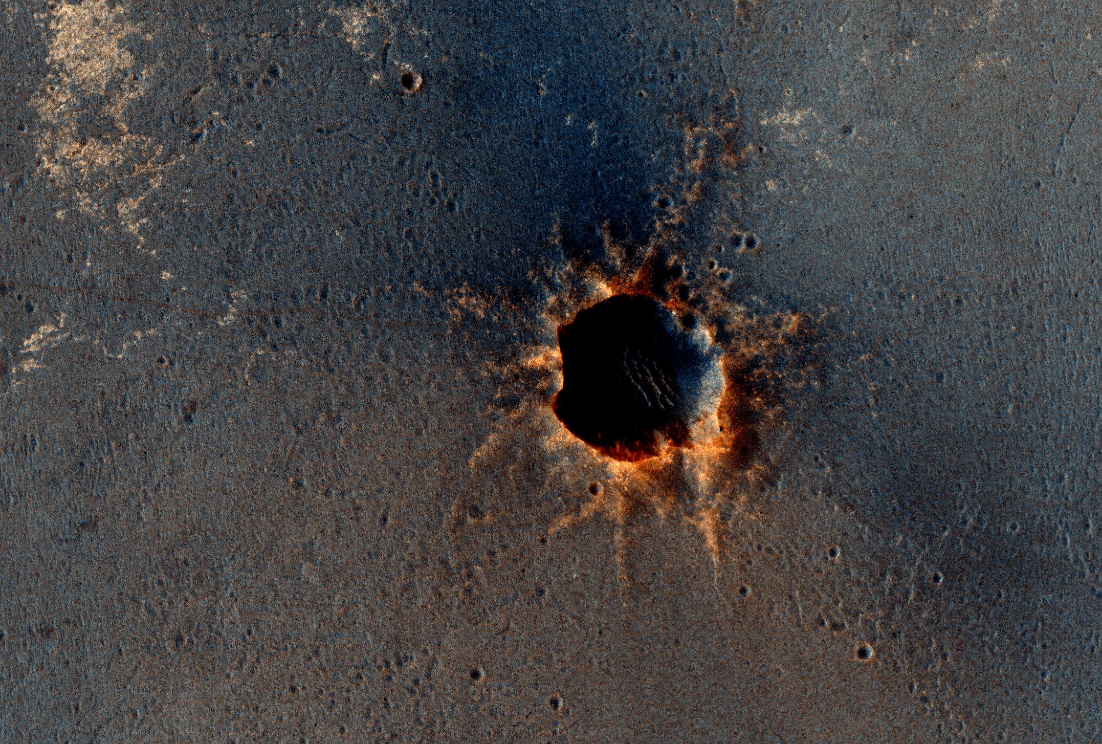
PIA13803:
Opportunity is Still Smiling
Full Resolution:
TIFF
(10.3 MB)
JPEG
(1.155 MB)
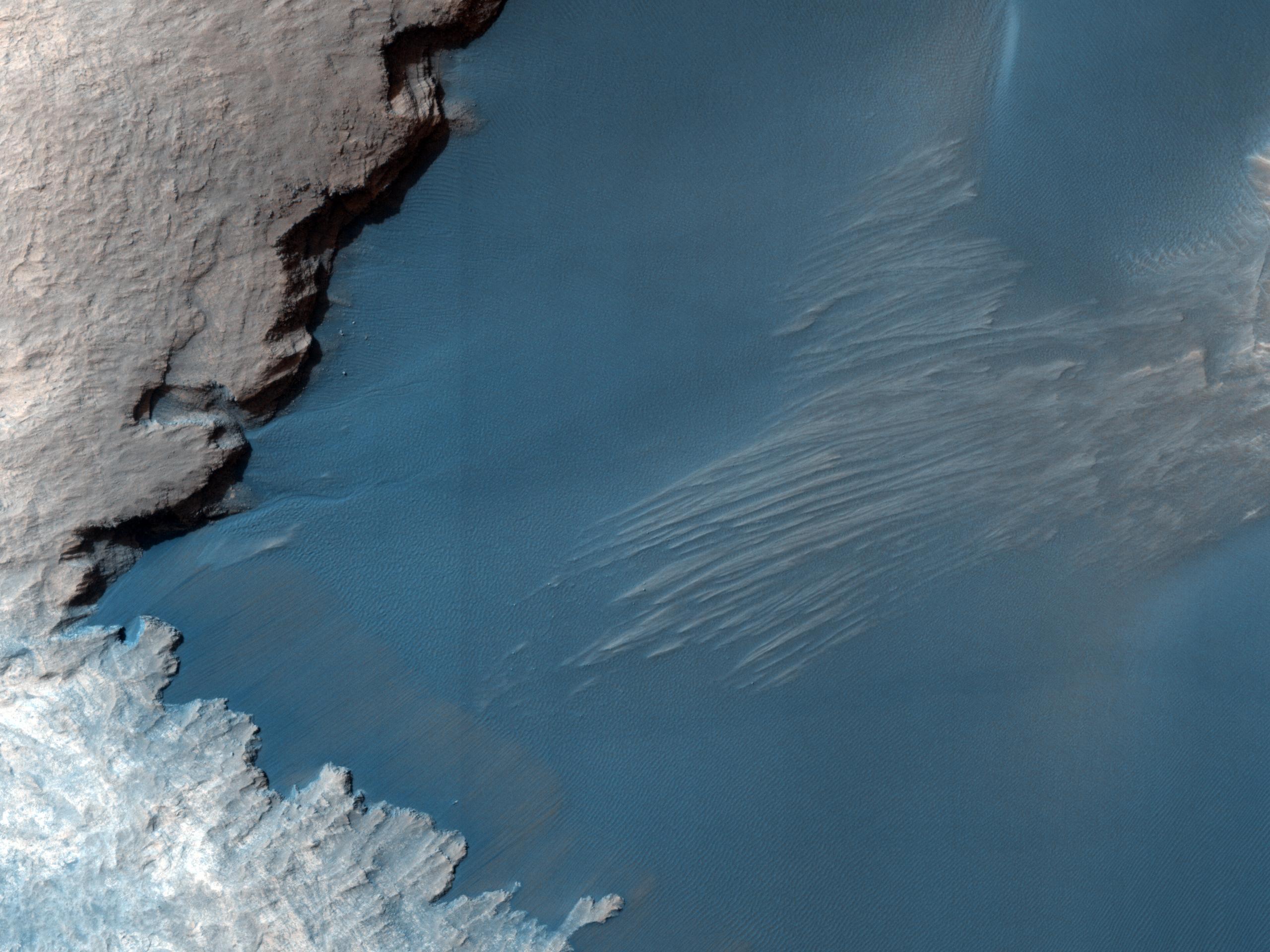
2011-03-09
Mars
Mars Reconnaissance Orbiter (MRO)
HiRISE
2560x1920x3
PIA13802:
True Gullies on Mars
Full Resolution:
TIFF
(14.76 MB)
JPEG
(1.255 MB)
2011-03-09
Mars
2001 Mars Odyssey
THEMIS
1330x2773x1
PIA13907:
Wind and Rock
Full Resolution:
TIFF
(3.692 MB)
JPEG
(626.7 kB)
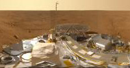
2011-03-10
Mars
Phoenix
Surface Stereo Imager (SSI)
26180x6180x3
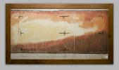
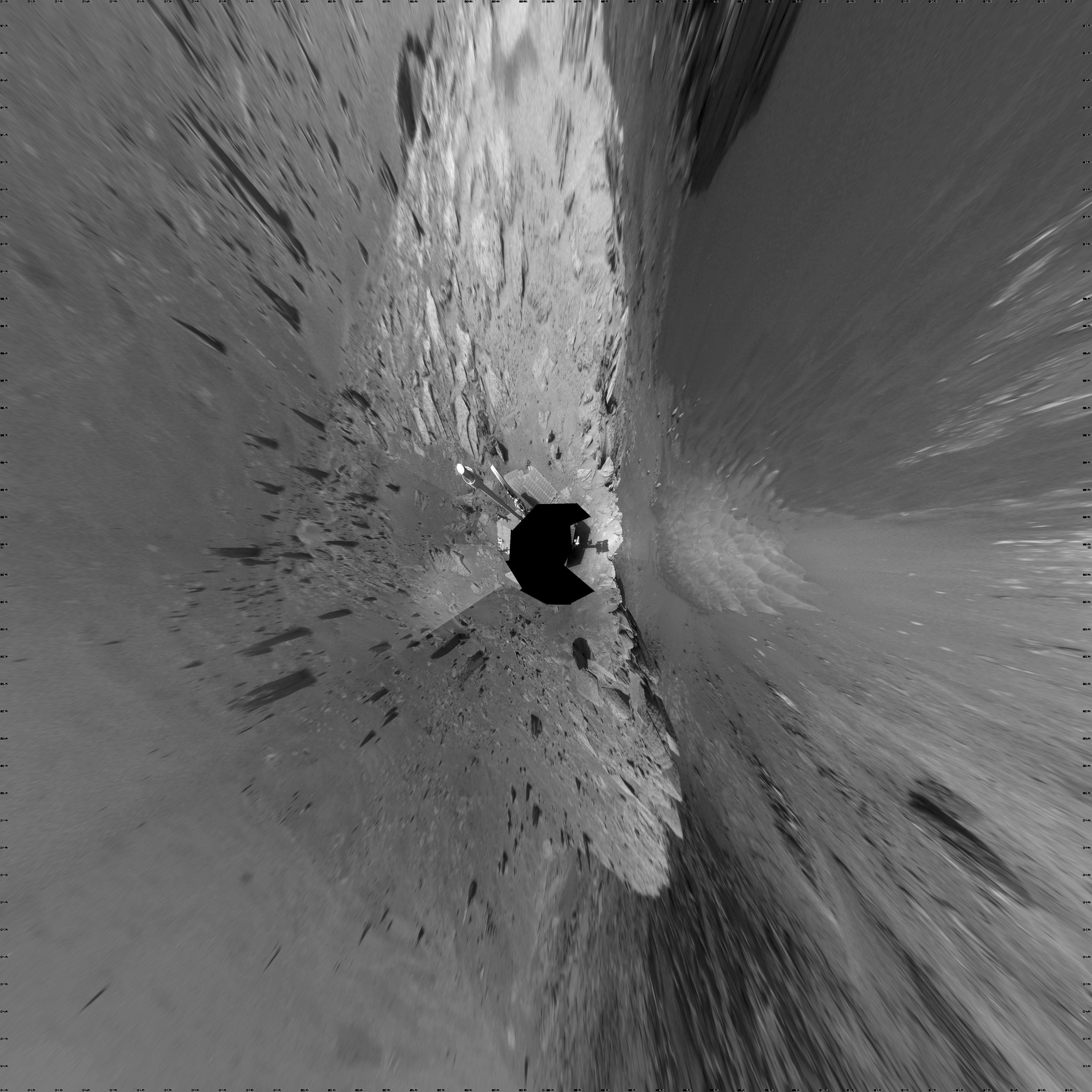
PIA13804:
Mars Panorama of Phoenix Landing Site and Lander Deck
Full Resolution:
TIFF
(485.4 MB)
JPEG
(14.63 MB)
2011-03-10
Mars
2001 Mars Odyssey
THEMIS
1333x2921x1
PIA13909:
Channel in Terra Cimmeria
Full Resolution:
TIFF
(3.898 MB)
JPEG
(383.5 kB)
2011-03-11
Mars
2001 Mars Odyssey
THEMIS
1301x2817x1
PIA13916:
Proctor Crater Dunes
Full Resolution:
TIFF
(3.669 MB)
JPEG
(286.4 kB)
2011-03-14
Mars
2001 Mars Odyssey
THEMIS
924x2769x1
PIA13917:
South Polar Surface
Full Resolution:
TIFF
(2.562 MB)
JPEG
(654.2 kB)
2011-03-15
Mars
2001 Mars Odyssey
THEMIS
1329x2829x1
PIA13918:
Russell Crater Dunes
Full Resolution:
TIFF
(3.764 MB)
JPEG
(308 kB)
2011-03-16
Mars
2001 Mars Odyssey
THEMIS
1315x2787x1
PIA13919:
Tectonic Collapse
Full Resolution:
TIFF
(3.669 MB)
JPEG
(326.4 kB)
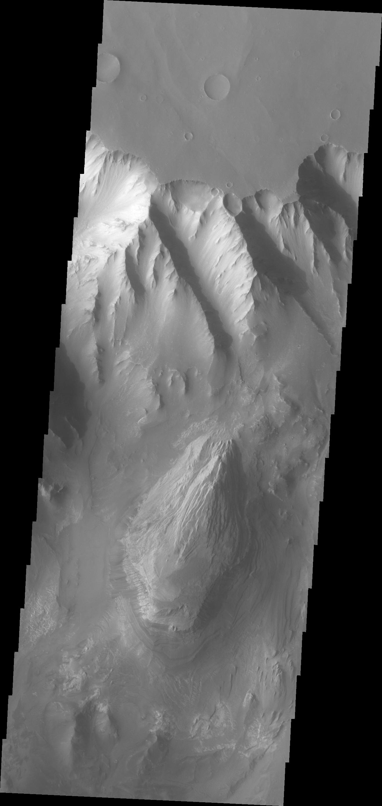
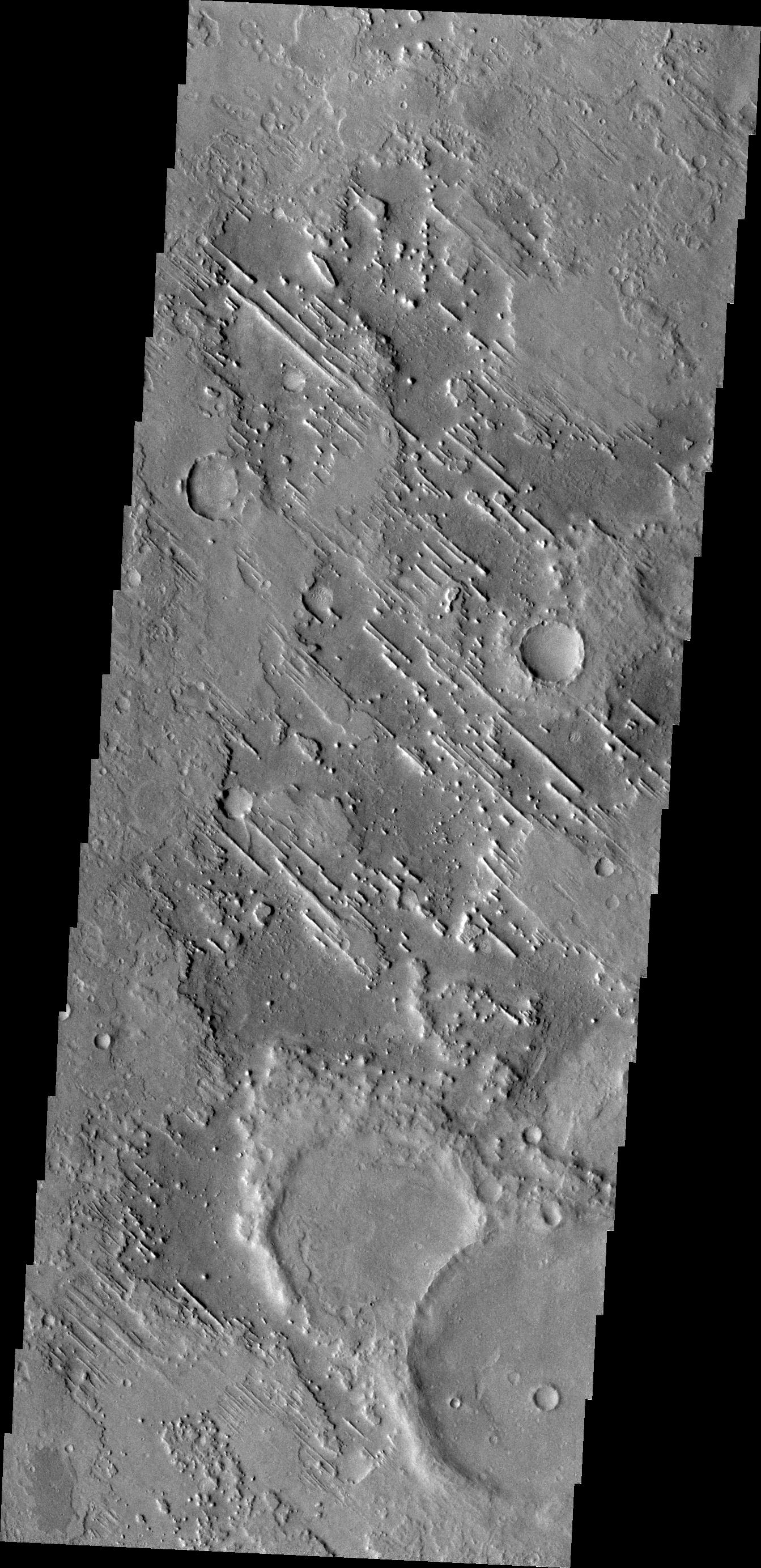
2011-03-18
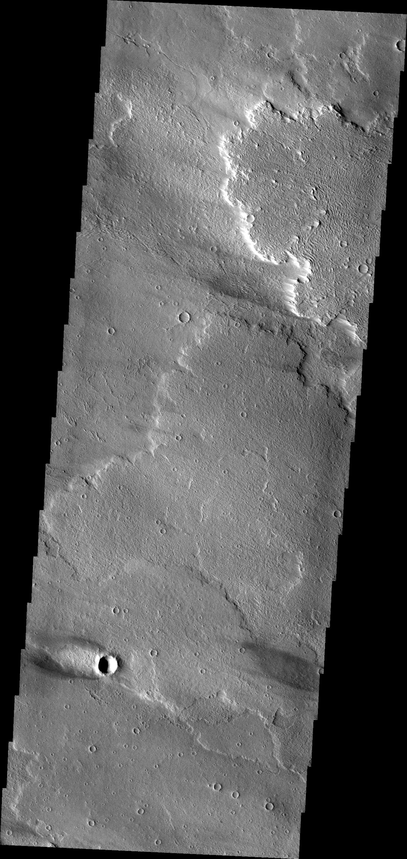
Mars
2001 Mars Odyssey
THEMIS
1332x2769x1
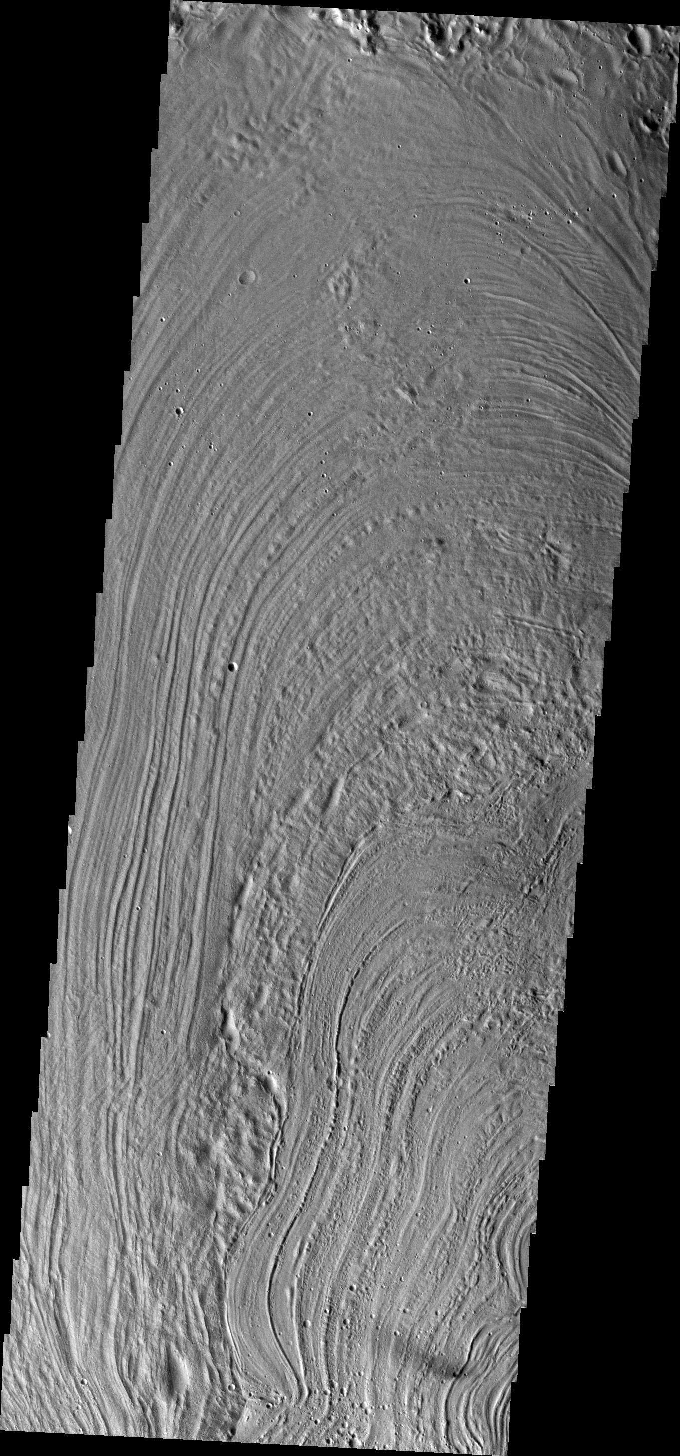
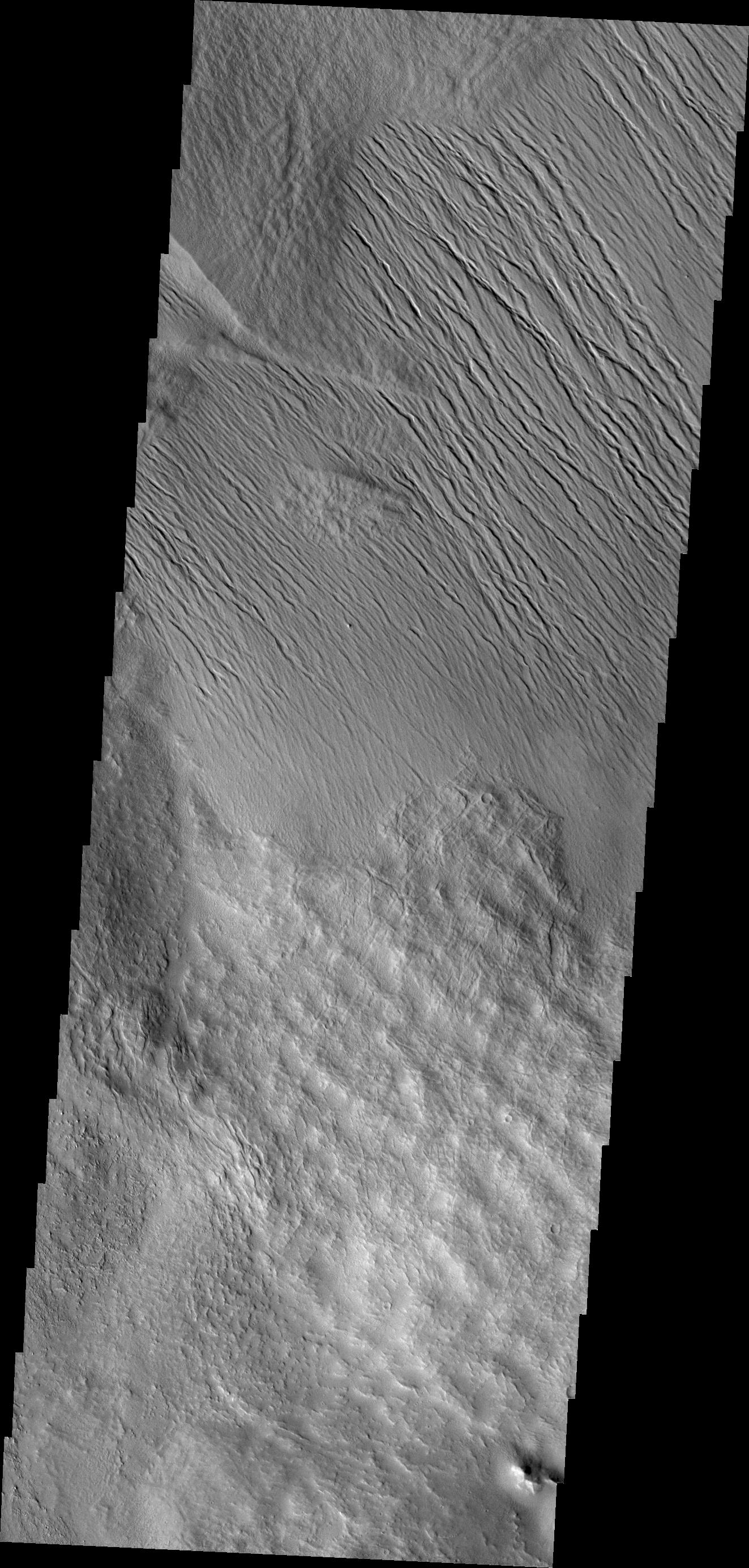
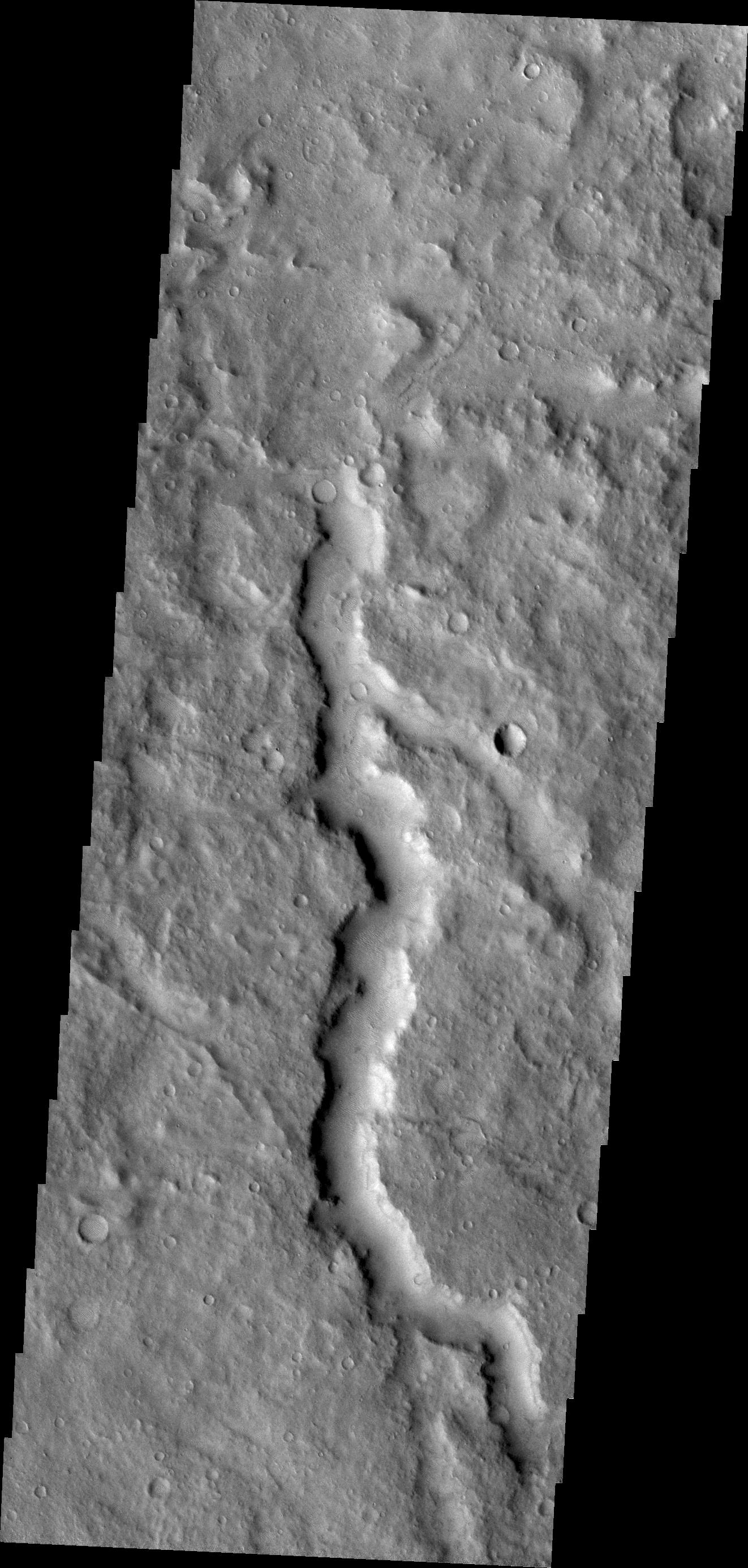
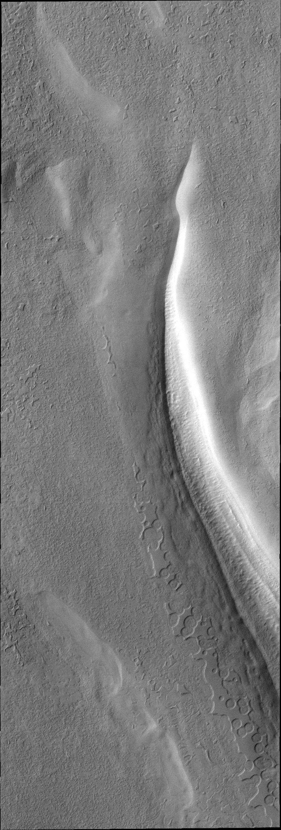
PIA13938:
Olympus Mons Flows
Full Resolution:
TIFF
(3.692 MB)
JPEG
(681.5 kB)
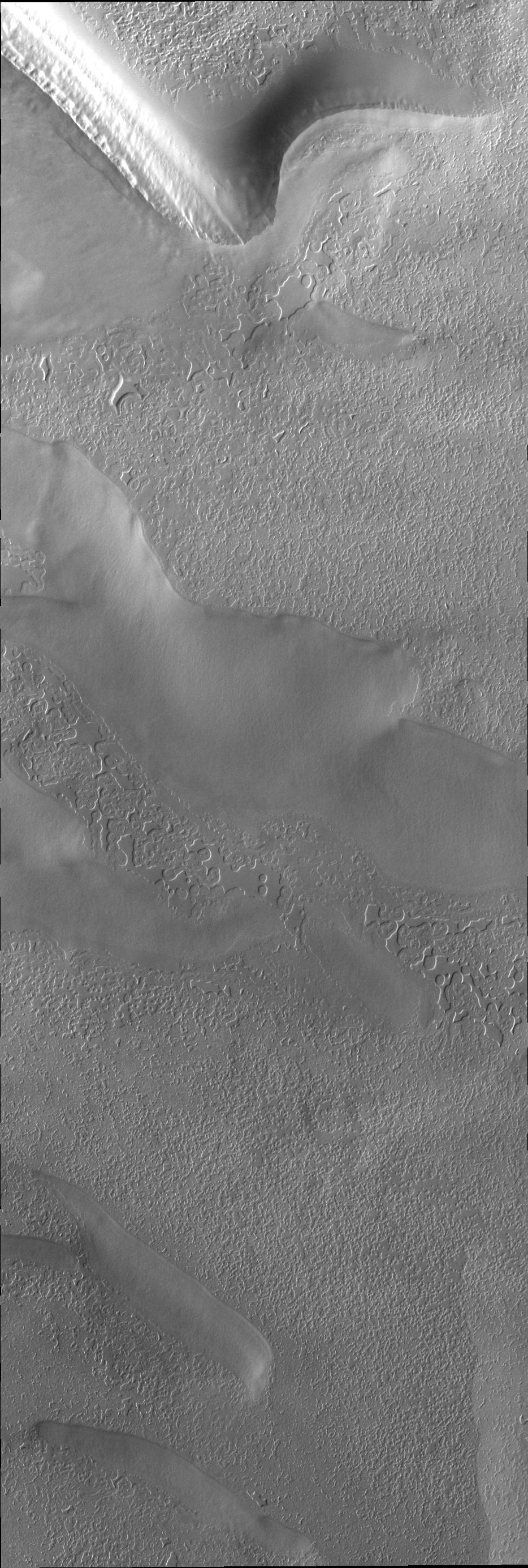
2011-03-21
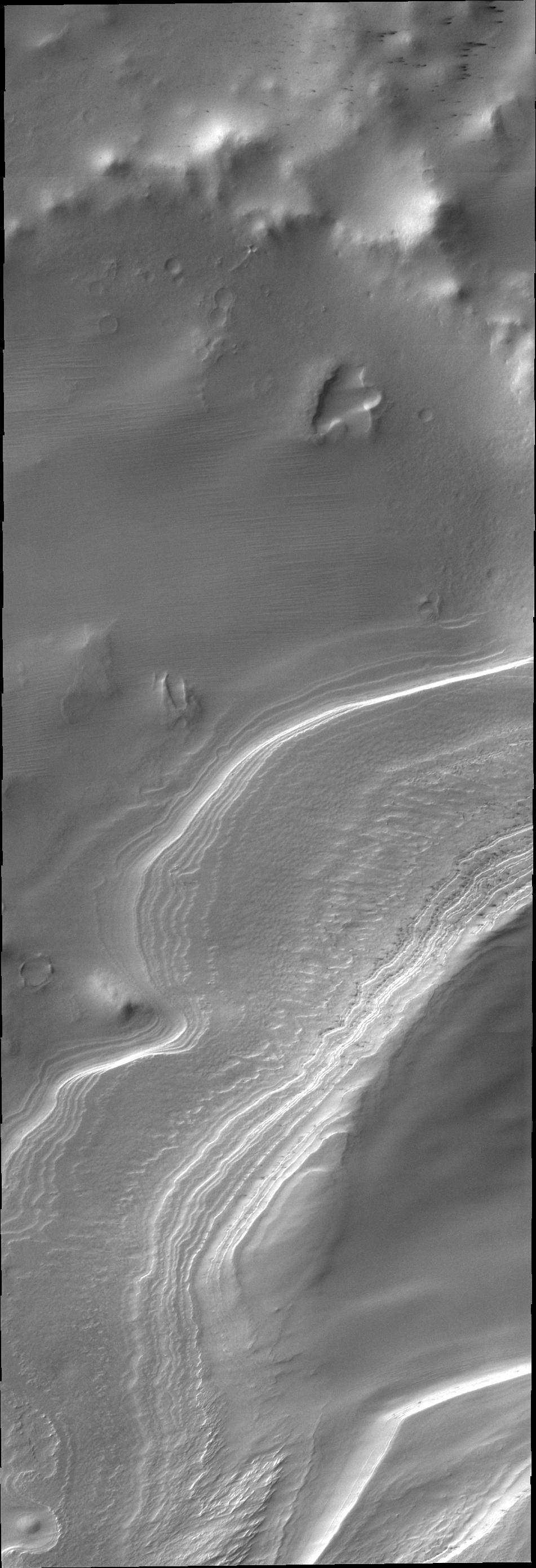
Mars
2001 Mars Odyssey
THEMIS
1307x2927x1
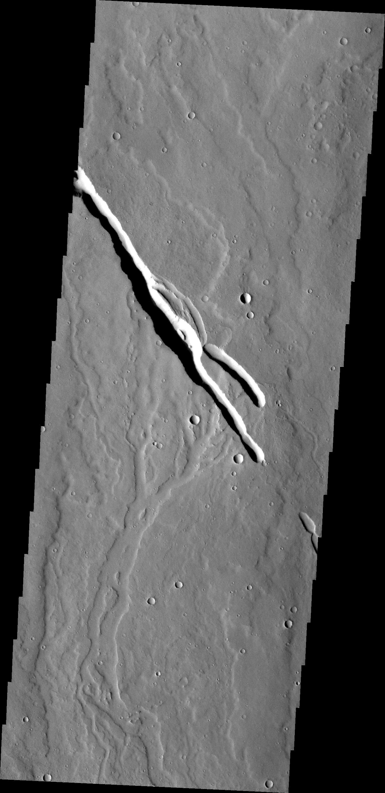
PIA13939:
Mega Gully
Full Resolution:
TIFF
(3.83 MB)
JPEG
(186.4 kB)
2011-03-22
Mars
2001 Mars Odyssey
THEMIS
1322x2773x1
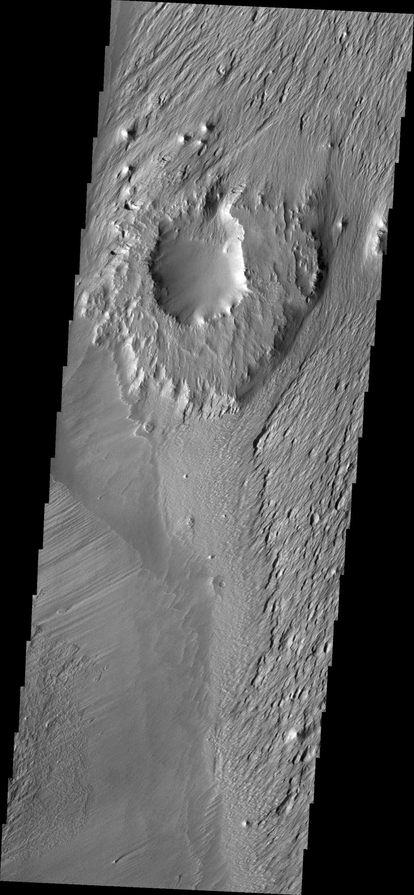
PIA13940:
Channel
Full Resolution:
TIFF
(3.67 MB)
JPEG
(432.8 kB)
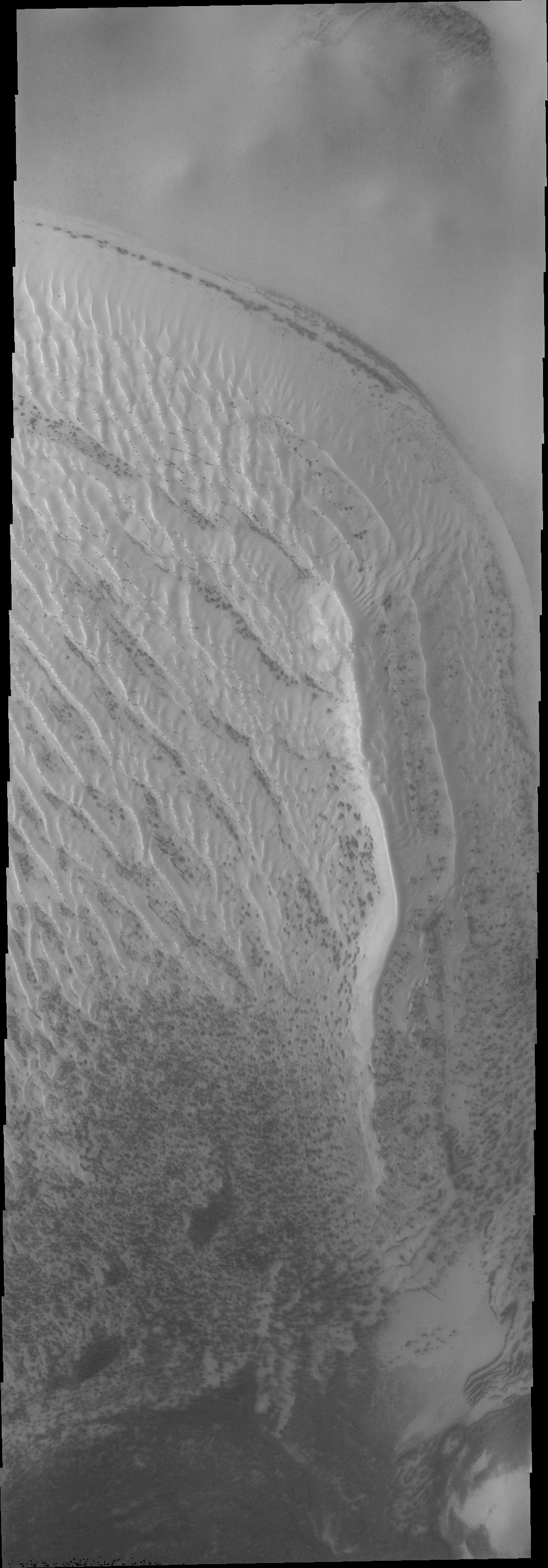
2011-03-23
Mars
2001 Mars Odyssey
THEMIS
1325x2774x1
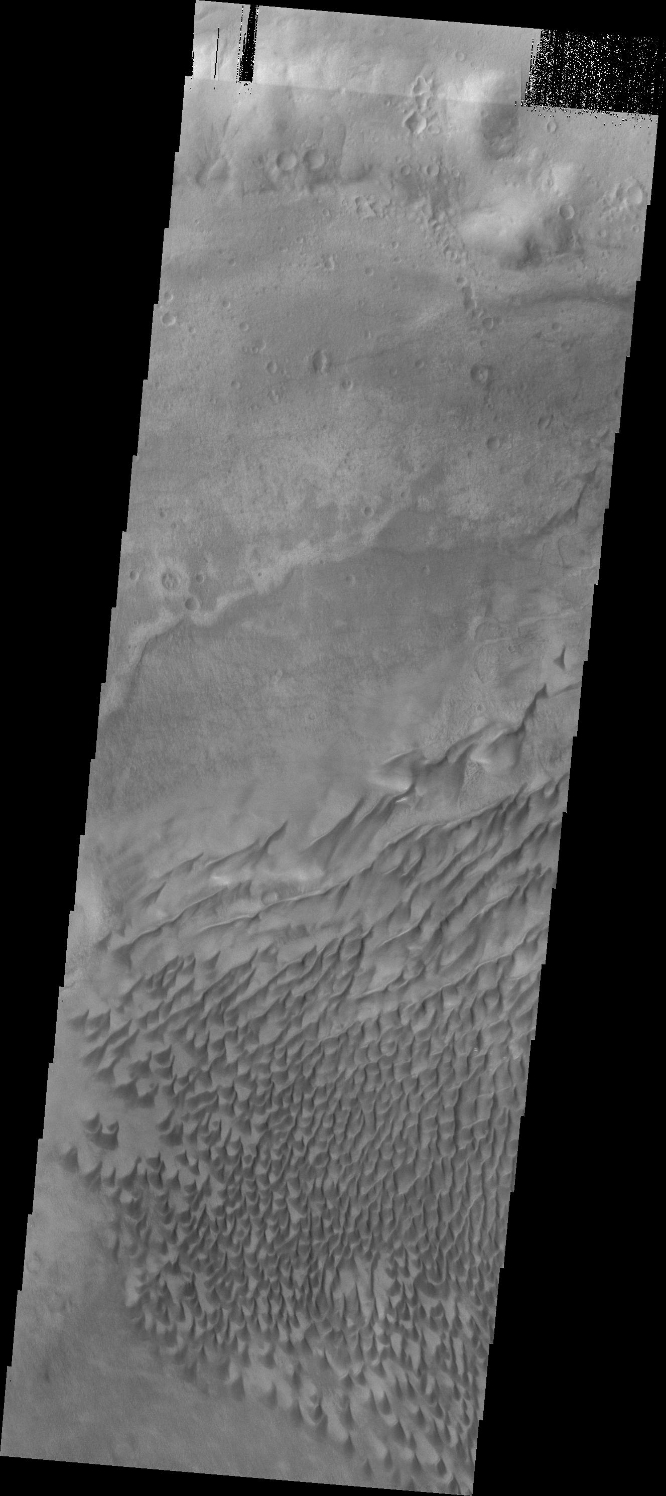
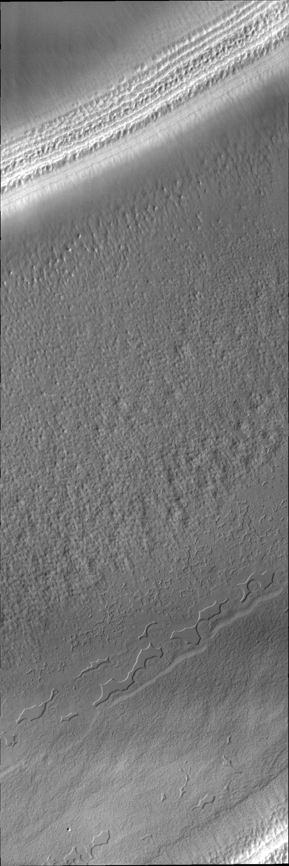
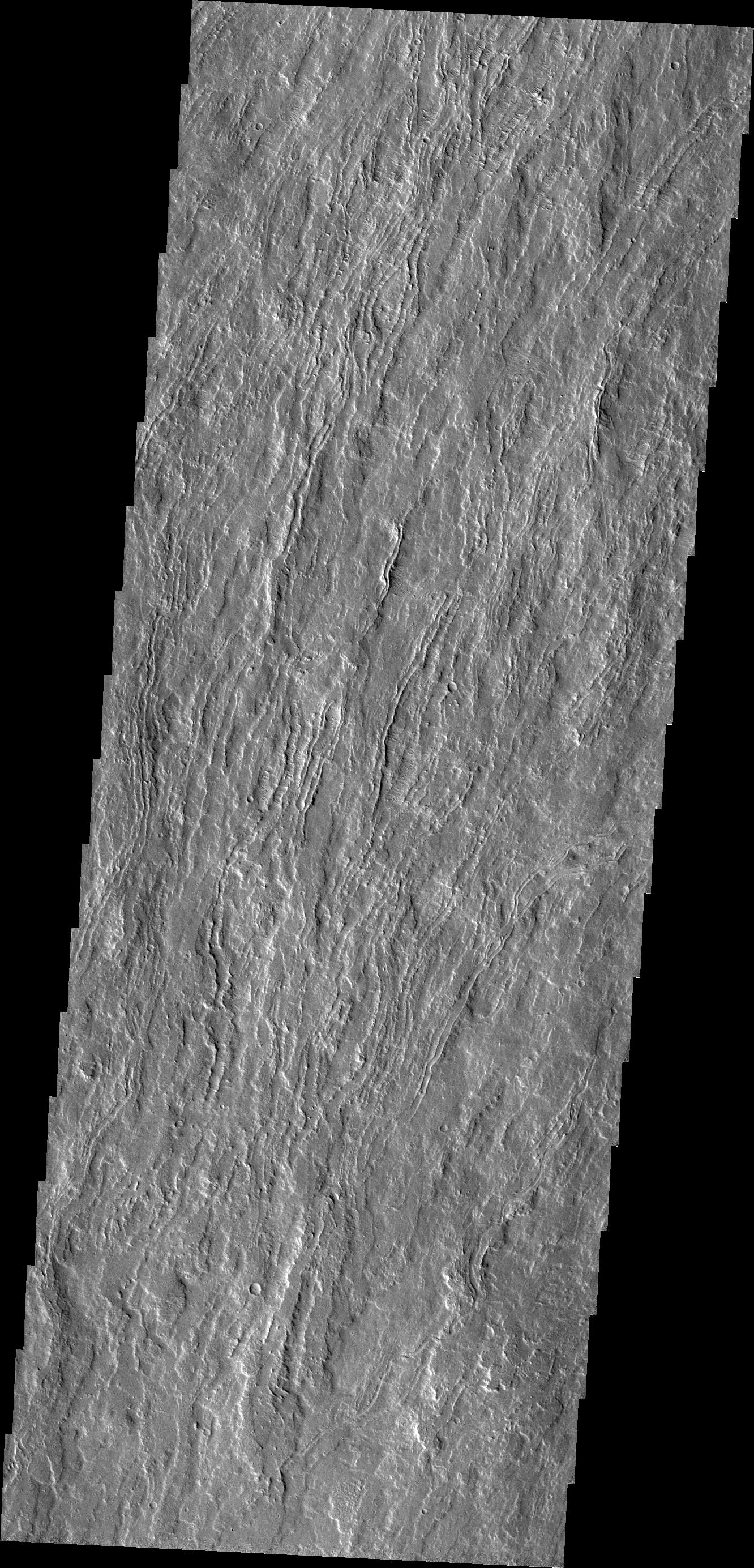
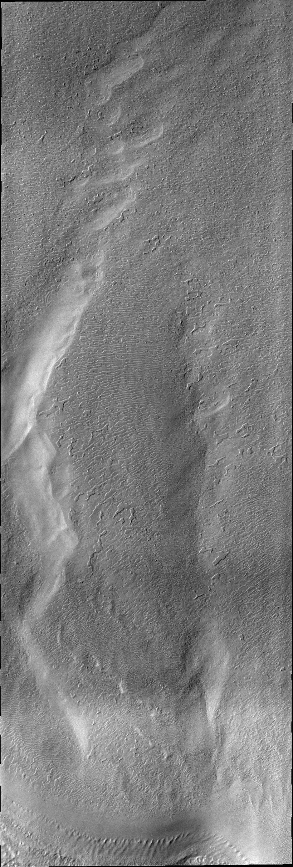
PIA13941:
Wind Texture
Full Resolution:
TIFF
(3.679 MB)
JPEG
(560.4 kB)
2011-03-24
Mars
2001 Mars Odyssey
THEMIS
940x2772x1
PIA13944:
V40448004
Full Resolution:
TIFF
(2.609 MB)
JPEG
(475.7 kB)
2011-03-25
Mars
2001 Mars Odyssey
THEMIS
939x2771x1
PIA13946:
South Polar Surface
Full Resolution:
TIFF
(2.605 MB)
JPEG
(586.8 kB)
2011-03-28
Mars
2001 Mars Odyssey
THEMIS
957x2788x1
PIA13947:
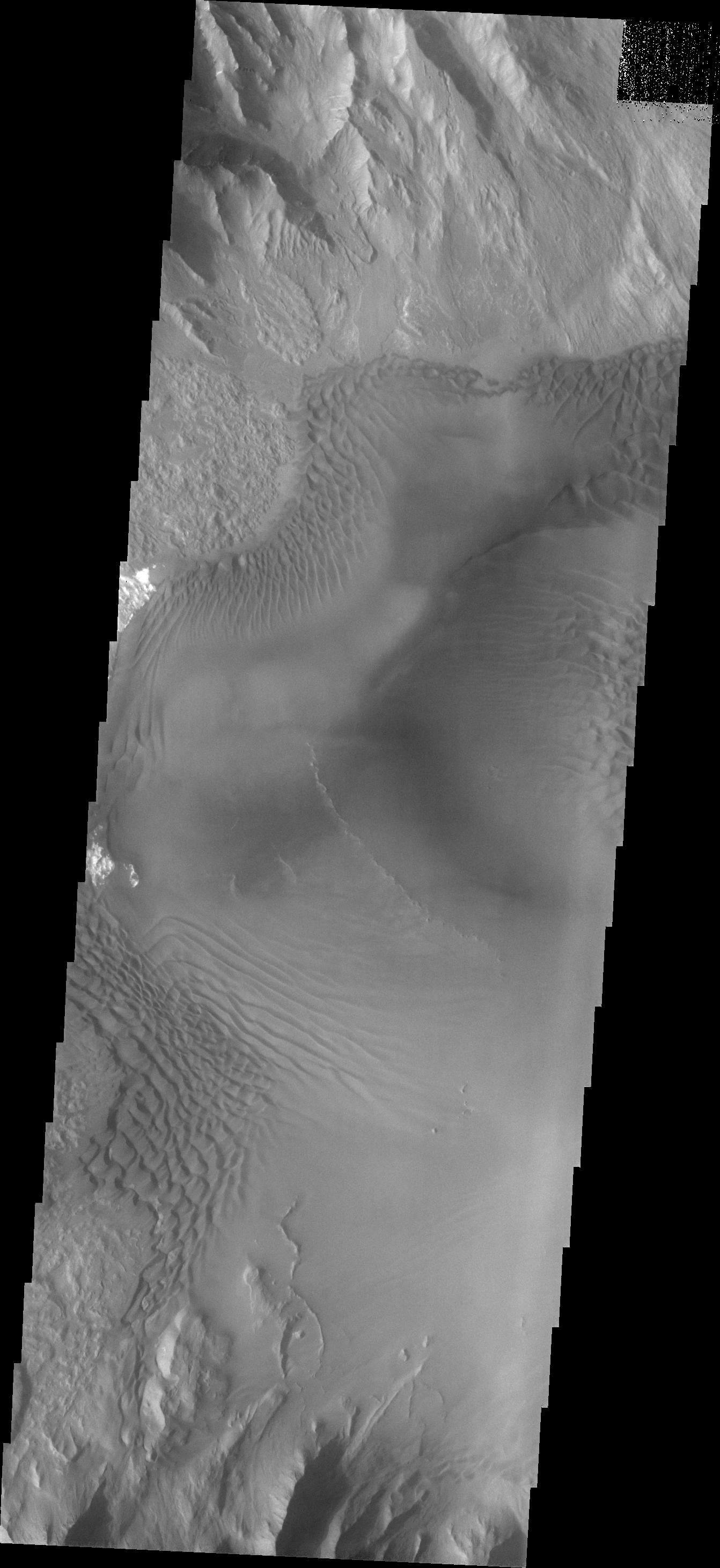
Something Different
Full Resolution:
TIFF
(2.671 MB)
JPEG
(290 kB)
2011-03-29
Mars
2001 Mars Odyssey
THEMIS
938x2772x1
PIA13948:
South Polar Surface
Full Resolution:
TIFF
(2.603 MB)
JPEG
(386.7 kB)
2011-03-30
Mars
2001 Mars Odyssey
THEMIS
1309x2775x1
PIA13949:
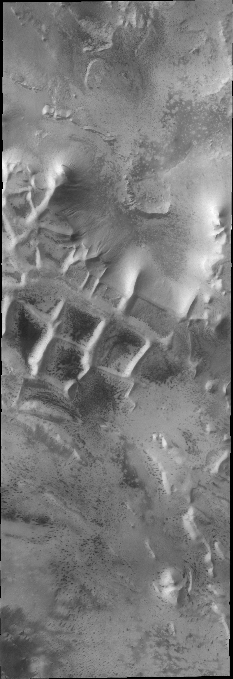
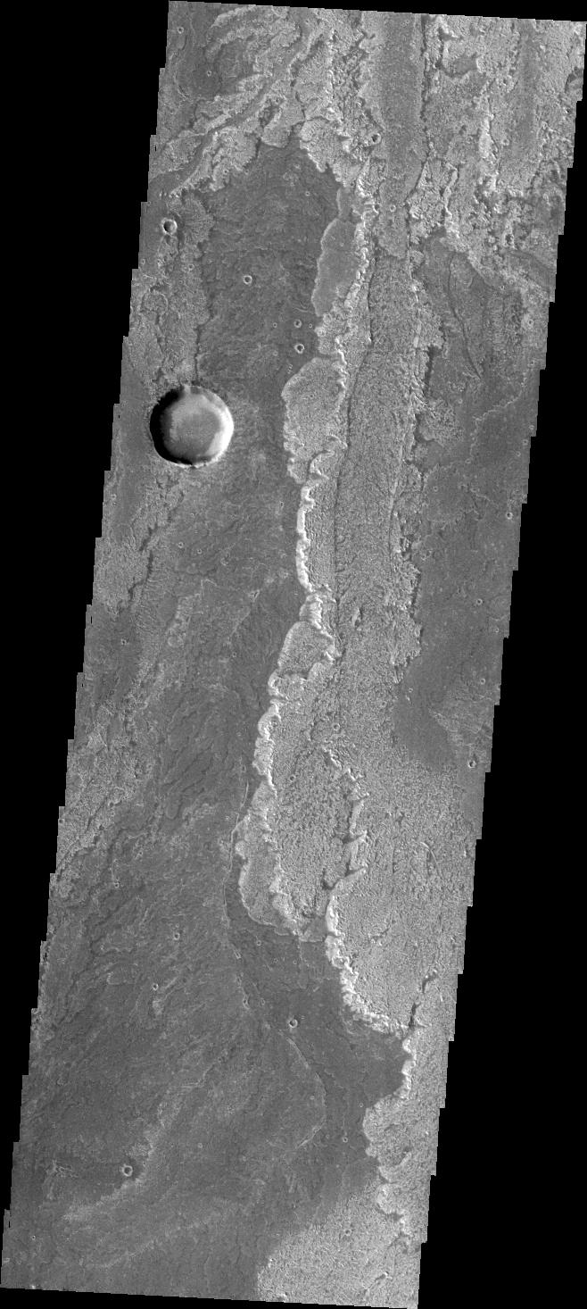
Ius Chasma Mega Gullies
Full Resolution:
TIFF
(3.636 MB)
JPEG
(161.7 kB)
2011-03-31
Mars
2001 Mars Odyssey
THEMIS
670x1459x1
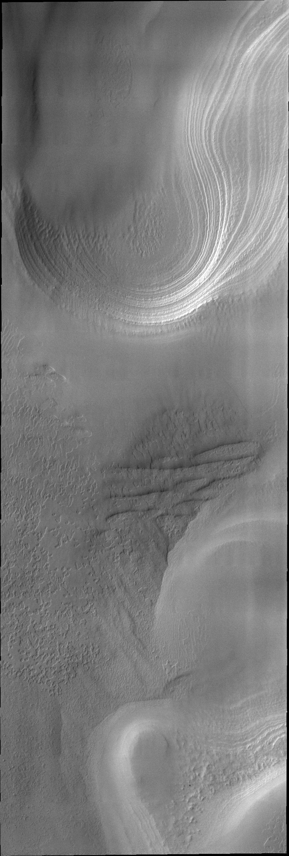
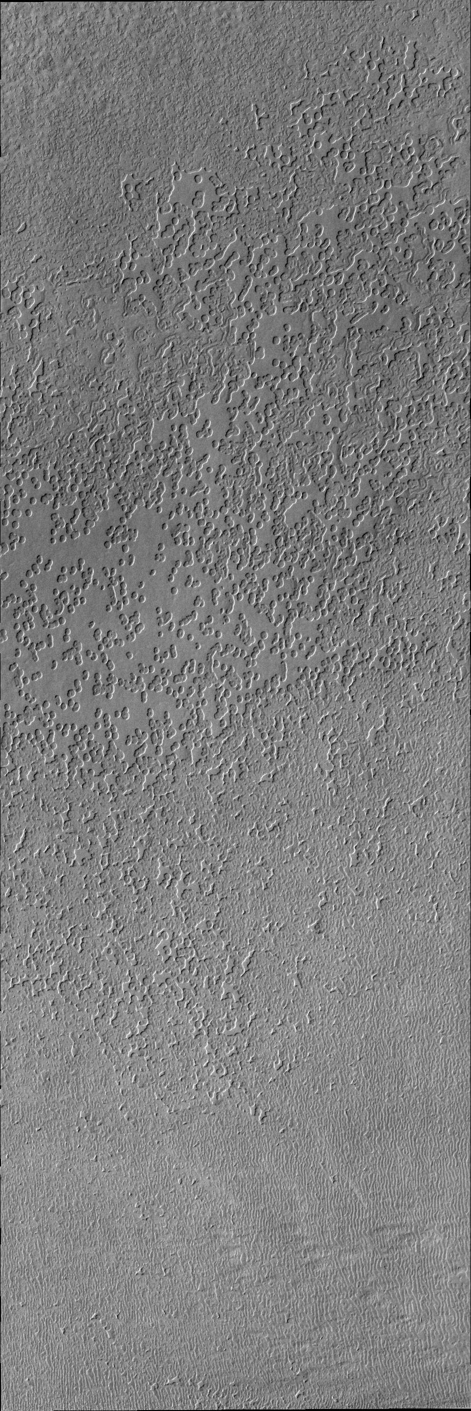
PIA13973:
Windstreaks
Full Resolution:
TIFF
(978.7 kB)
JPEG
(101.9 kB)
2011-04-01
Mars
2001 Mars Odyssey
THEMIS
1341x2920x1
PIA13977:
Layering
Full Resolution:
TIFF
(3.92 MB)
JPEG
(286 kB)
2011-04-04
Mars
2001 Mars Odyssey
THEMIS
1321x2804x1
PIA13978:
Arkhangelsky Crater Dunes
Full Resolution:
TIFF
(3.708 MB)
JPEG
(352.3 kB)
2011-04-06
Mars
2001 Mars Odyssey
THEMIS
938x2771x1
PIA13991:
South Polar Clouds
Full Resolution:
TIFF
(2.602 MB)
JPEG
(345.2 kB)
2011-04-06
Mars
2001 Mars Odyssey
THEMIS
1338x2767x1
PIA13992:
Nili Patera Dunes
Full Resolution:
TIFF
(3.706 MB)
JPEG
(391.1 kB)
2011-04-08
Mars
2001 Mars Odyssey
THEMIS
464x1460x1
PIA13993:
South Polar Clouds
Full Resolution:
TIFF
(678.4 kB)
JPEG
(87.94 kB)
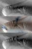
2011-04-08
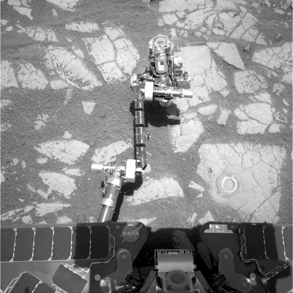
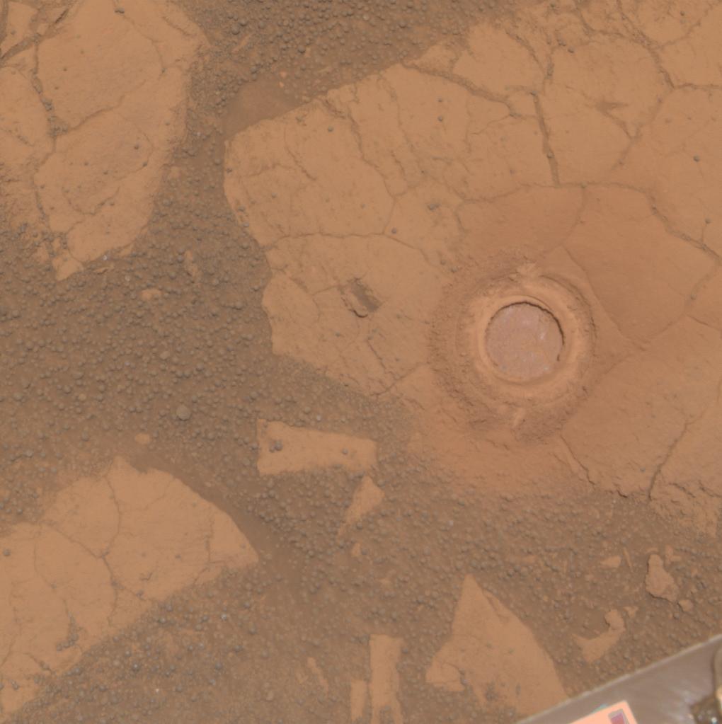
Mars
Mars Exploration Rover (MER)
Navigation Camera
Rock Abrasion Tool (RAT)
1024x1024x1
PIA13982:
Opportunity's Arm and 'Gagarin' Rock, Sol 405
Full Resolution:
TIFF
(1.05 MB)
JPEG
(169 kB)
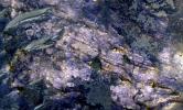
2011-04-08
Mars
Mars Exploration Rover (MER)
Panoramic Camera
1020x1023x3
PIA13983:
'Gagarin' Rock Examined by Opportunity in 2005
Full Resolution:
TIFF
(3.135 MB)
JPEG
(83.31 kB)
2011-04-08
Mars
Mars Exploration Rover (MER)
Panoramic Camera
1020x1023x3
PIA13984:
'Gagarin' Rock Examined by Opportunity in 2005, False Color
Full Resolution:
TIFF
(3.135 MB)
JPEG
(220.8 kB)
2011-04-11
Mars
2001 Mars Odyssey
THEMIS
1327x2781x1
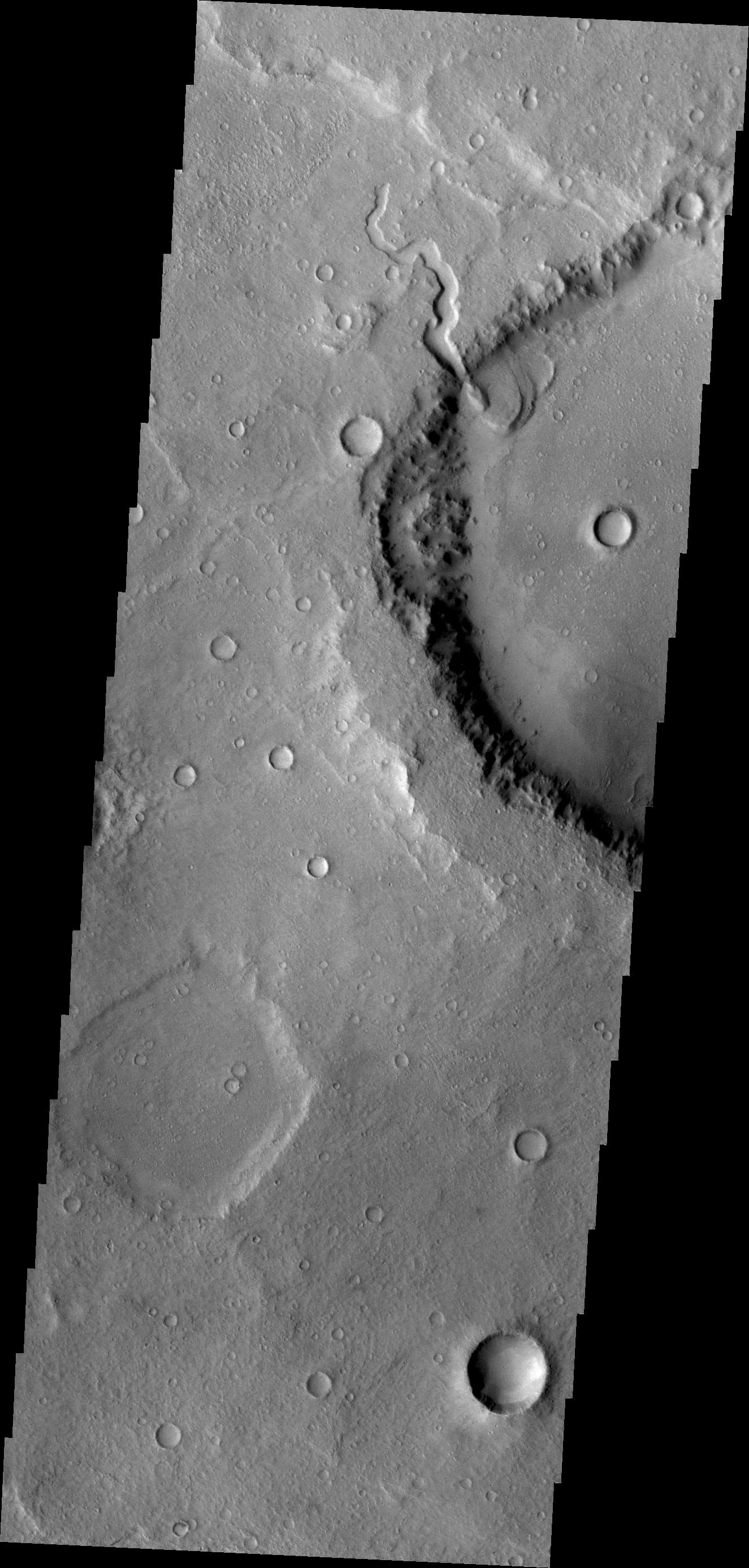
PIA13996:
Morava Valles Chaos
Full Resolution:
TIFF
(3.694 MB)
JPEG
(398.2 kB)
2011-04-12
Mars
Mariner Mars 1964 (Mariner 4)
1209x1280x1
PIA14032:
First TV Image of Mars
Full Resolution:
TIFF
(1.549 MB)
JPEG
(260.9 kB)
2011-04-12
Mars
Mariner Mars 1964 (Mariner 4)
15761x9328x3
PIA14033:
First TV Image of Mars (Hand Colored)
Full Resolution:
TIFF
(441.1 MB)
JPEG
(18.49 MB)
2011-04-12
Mars
2001 Mars Odyssey
THEMIS
1298x2801x1
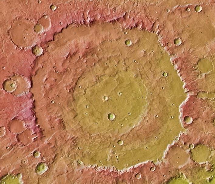
PIA14034:
Crater Centers
Full Resolution:
TIFF
(3.64 MB)
JPEG
(296.5 kB)
2011-04-13
Mars
2001 Mars Odyssey
THEMIS
1308x2768x1
PIA14036:
Pavonis Mons
Full Resolution:
TIFF
(3.624 MB)
JPEG
(333.3 kB)
2011-04-14
Mars
2001 Mars Odyssey
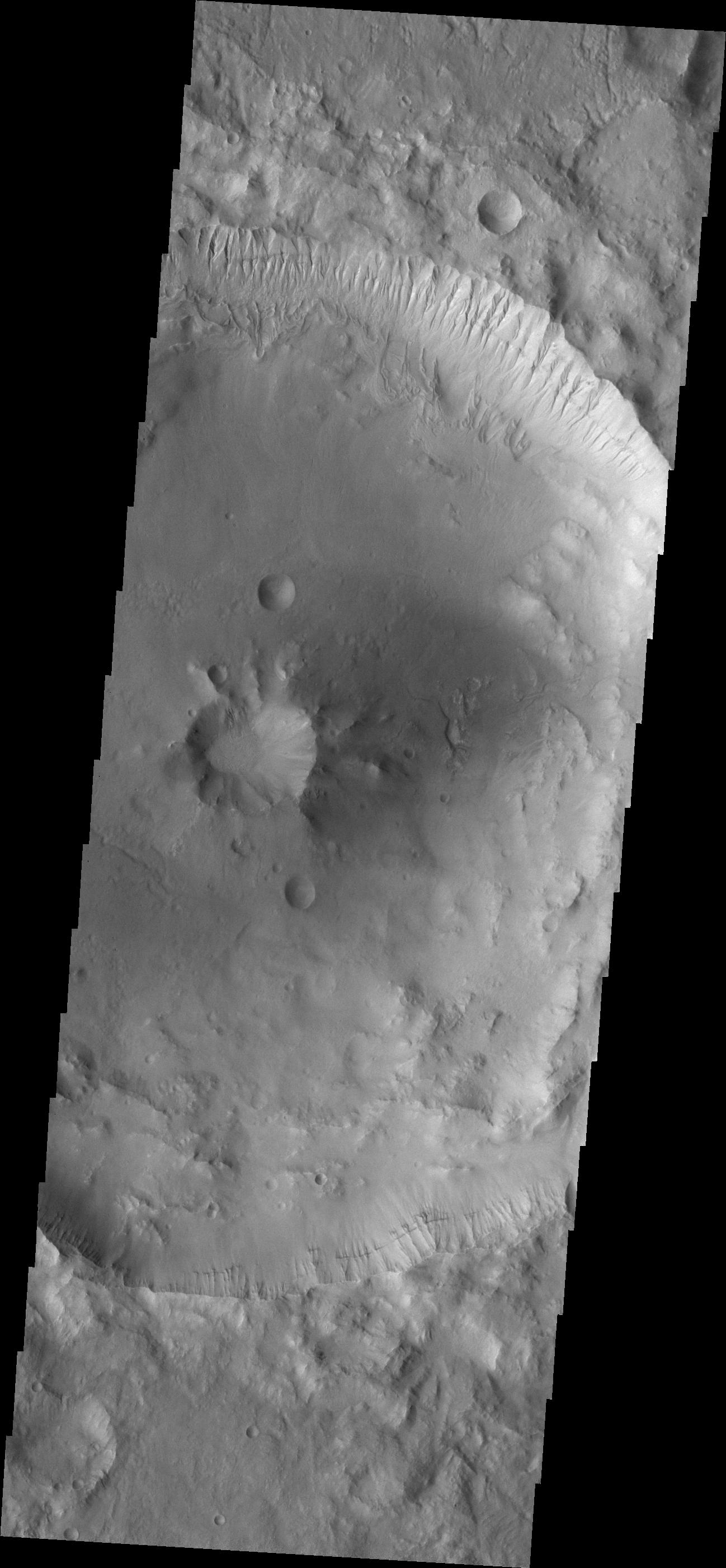
THEMIS
1321x2778x1
PIA13999:
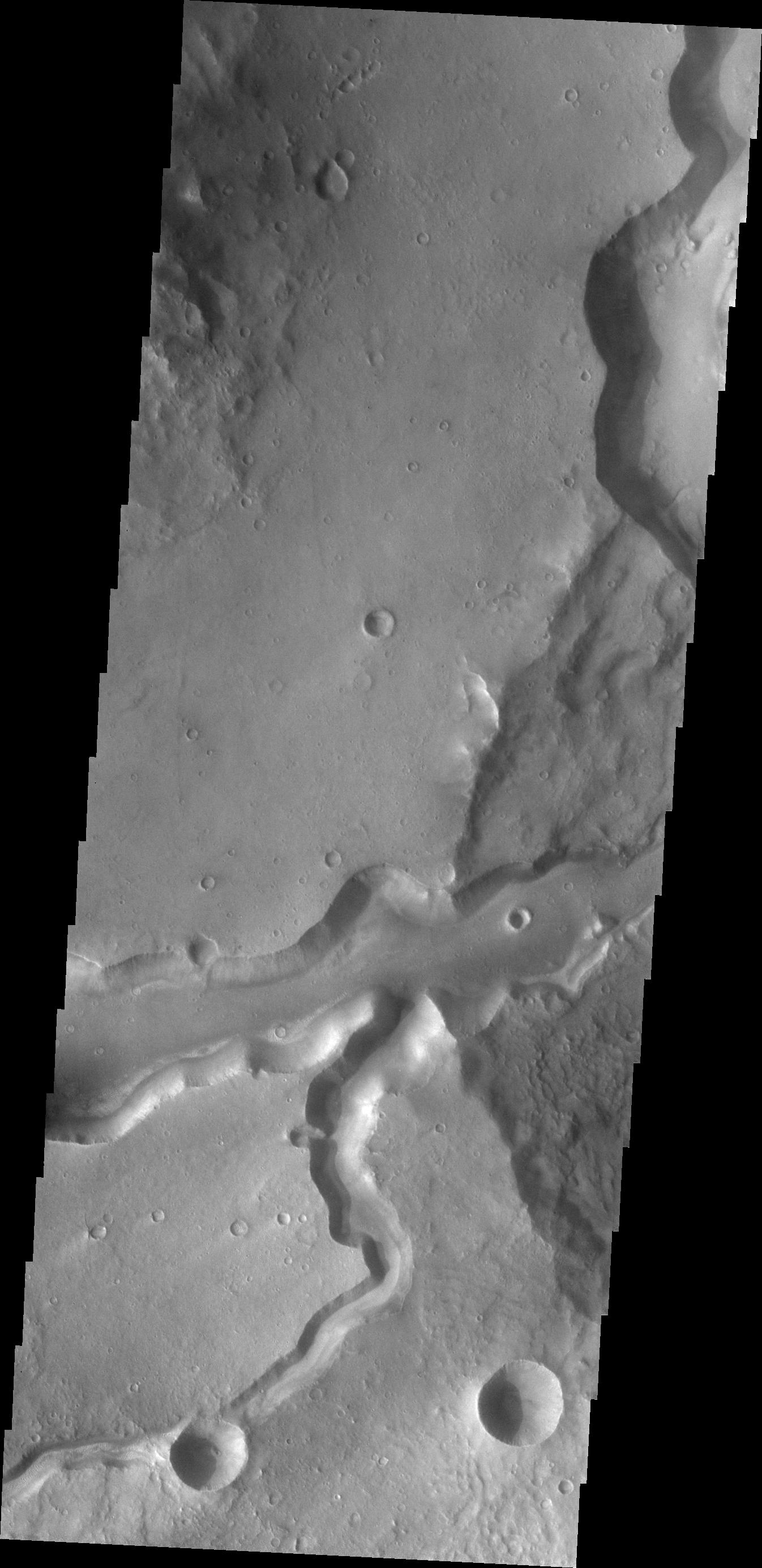
Channel in Margaritifer Terra
Full Resolution:
TIFF
(3.674 MB)
JPEG
(406.2 kB)
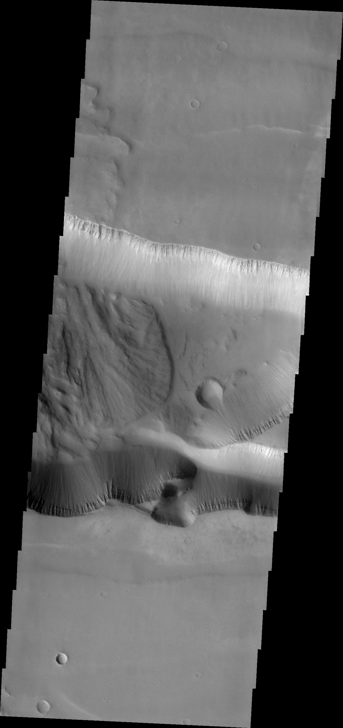
2011-04-15
Mars
2001 Mars Odyssey
THEMIS
1308x2773x1
PIA14025:
Tithonium Chasma
Full Resolution:
TIFF
(3.631 MB)
JPEG
(221.2 kB)
2011-04-18
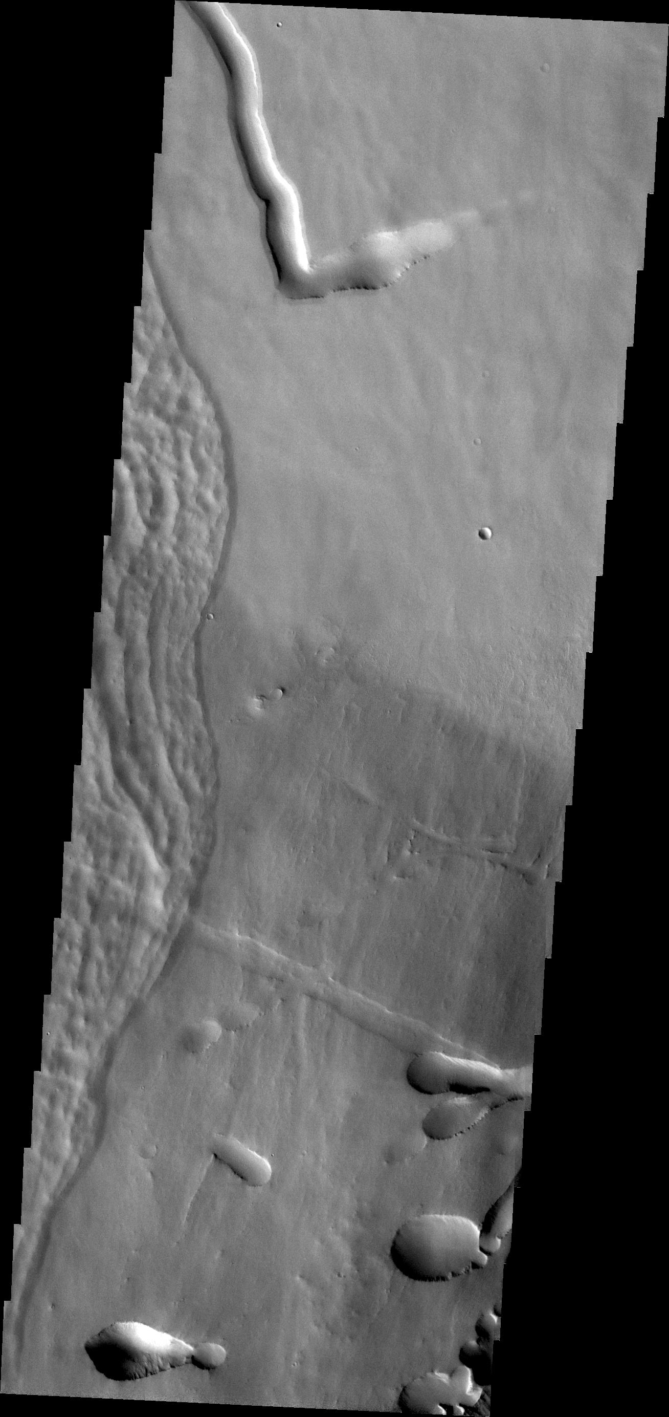
Mars
2001 Mars Odyssey
THEMIS
658x1466x1
PIA14041:
Arsia Mons Flows
Full Resolution:
TIFF
(965.8 kB)
JPEG
(152.1 kB)
2011-04-19
Mars
2001 Mars Odyssey
THEMIS
657x1482x1
PIA14043:
Gullies in Argyre Planitia
Full Resolution:
TIFF
(974.9 kB)
JPEG
(60.6 kB)
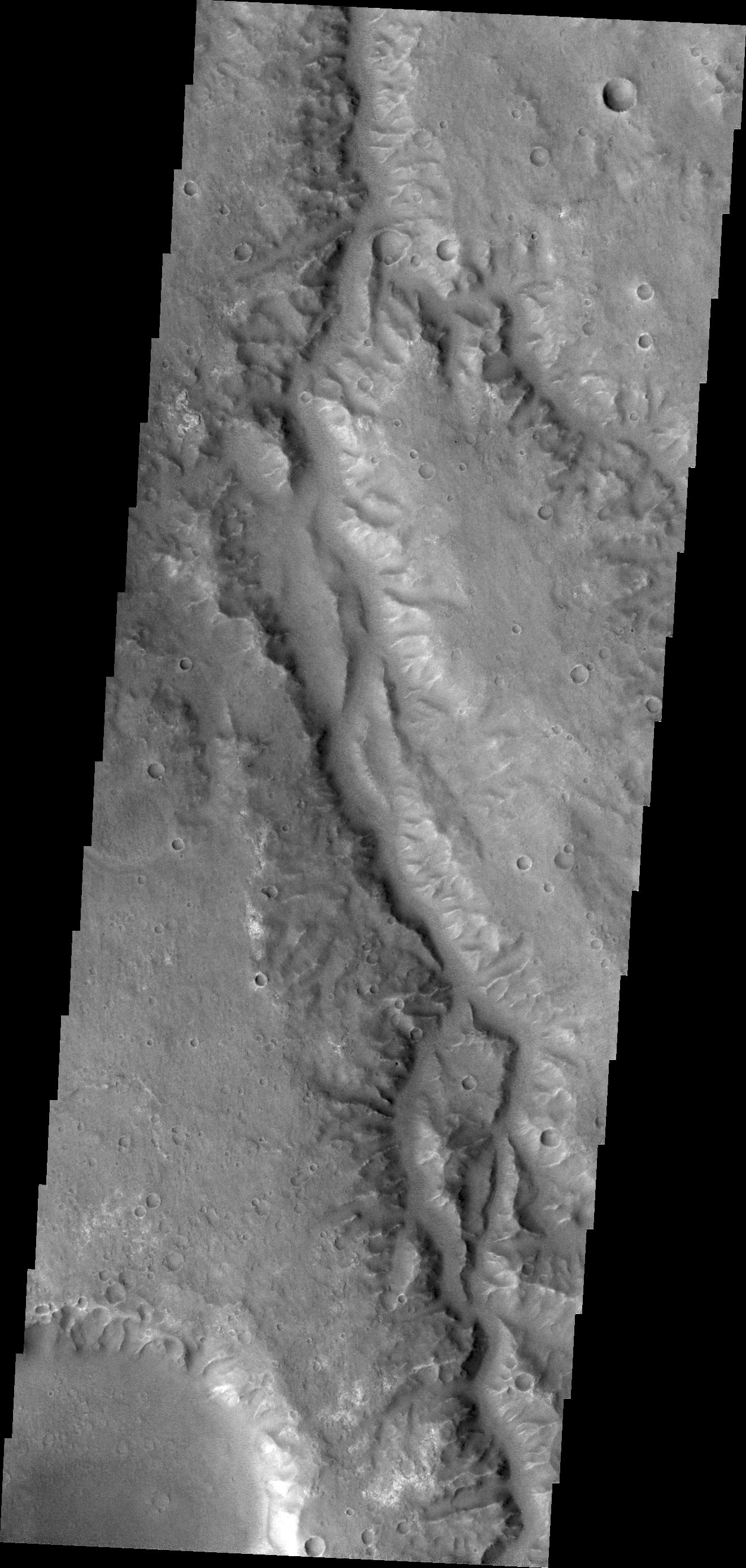
2011-04-20
Mars
2001 Mars Odyssey
THEMIS
1323x2935x1
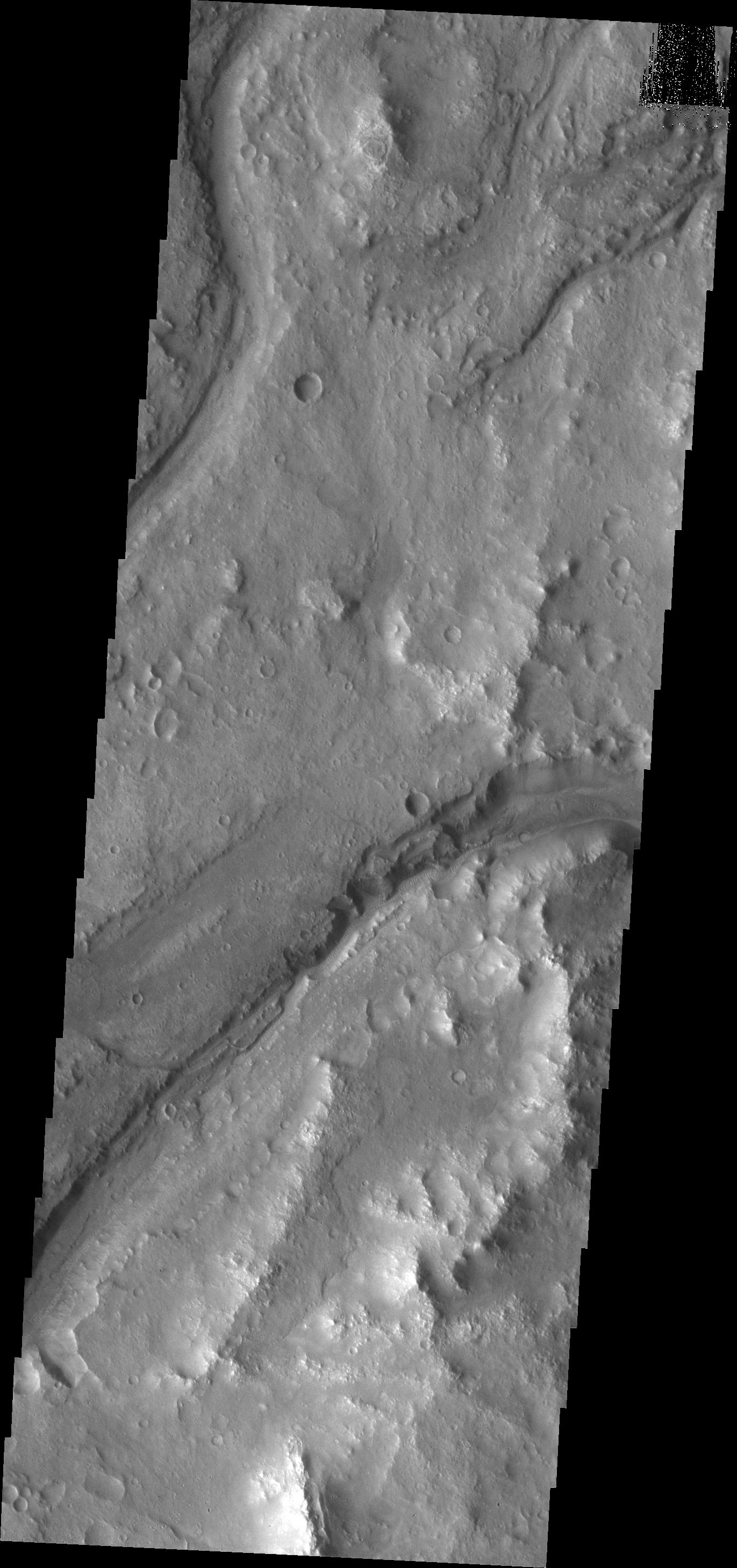
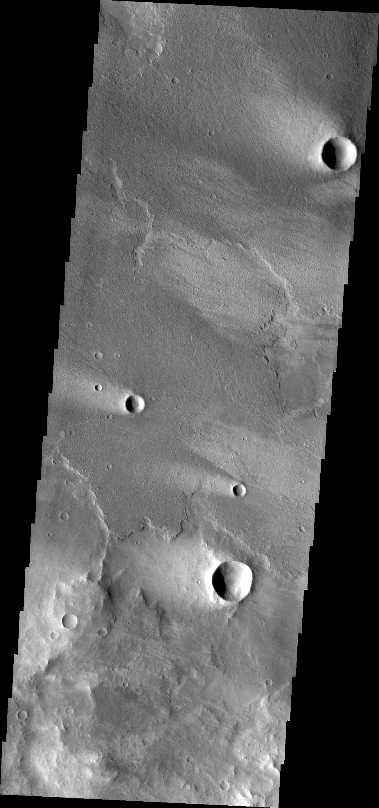
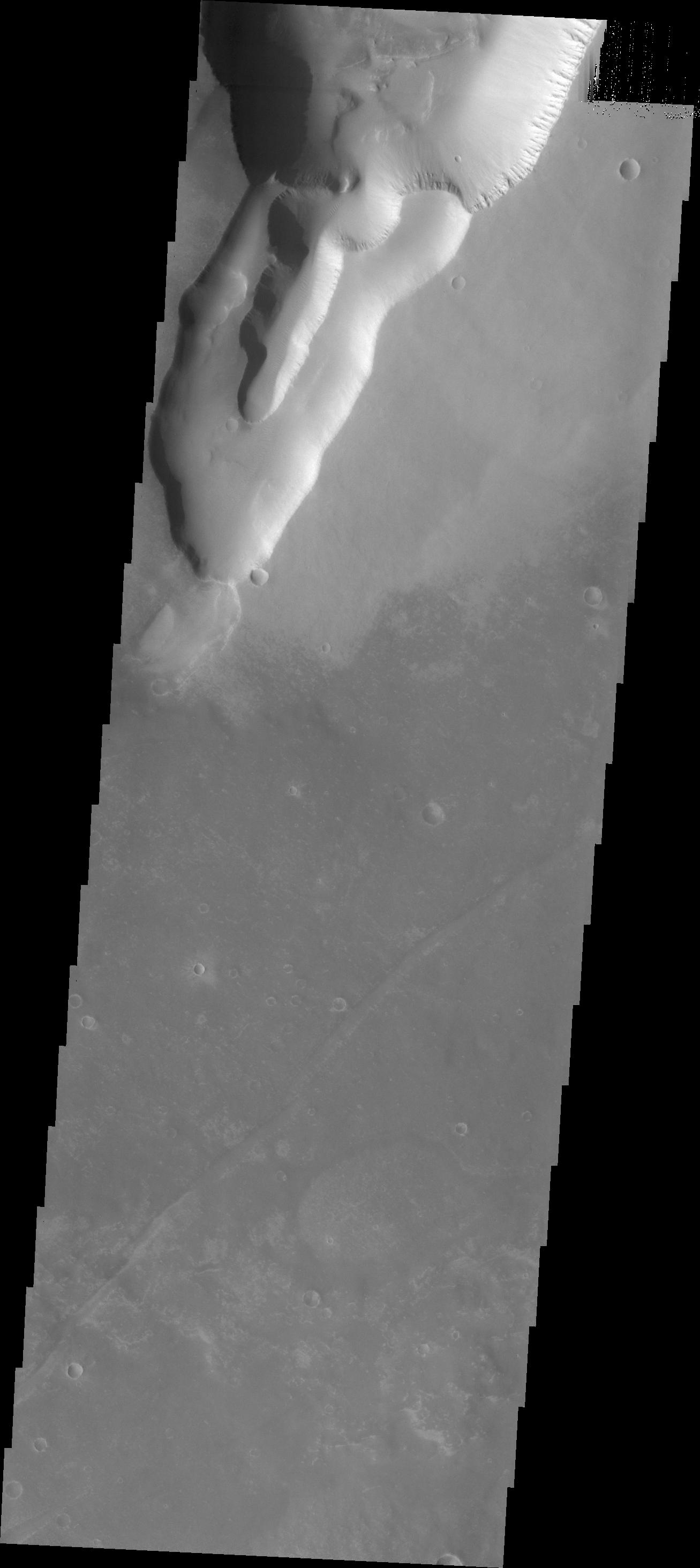
PIA14044:
Arda Valles
Full Resolution:
TIFF
(3.887 MB)
JPEG
(356.4 kB)
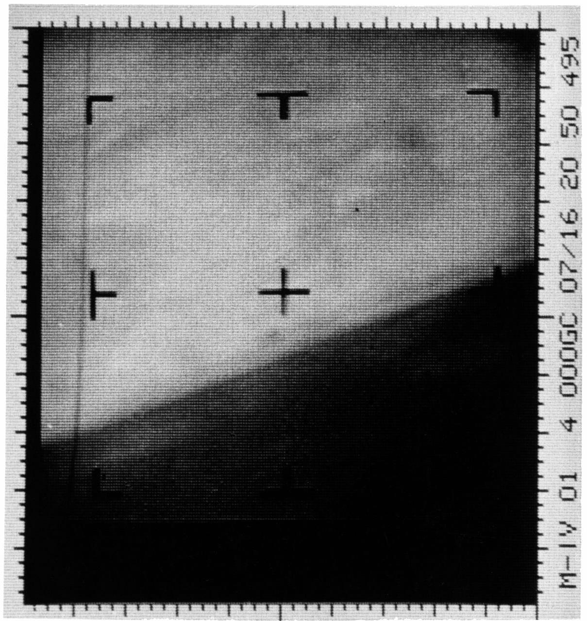
2011-04-21
Mars
Mars Reconnaissance Orbiter (MRO)
Shallow Subsurface Radar (SHARAD)
1775x380x1
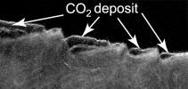
PIA13985:
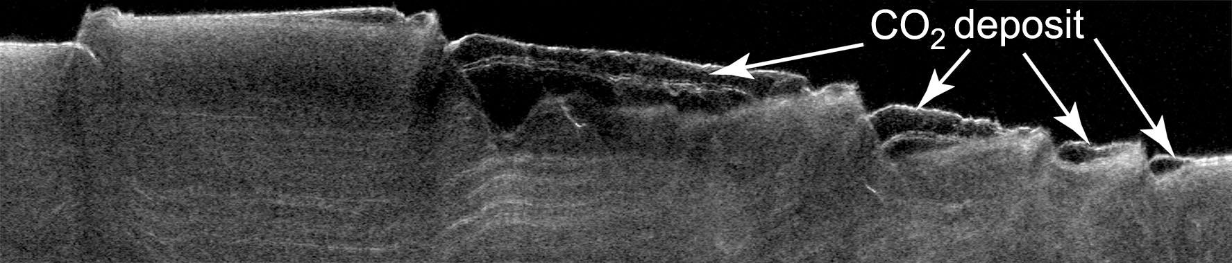
Cross Section of Buried Carbon-Dioxide Ice on Mars
Full Resolution:
TIFF
(675.5 kB)
JPEG
(116.5 kB)
2011-04-21
Mars
Mars Reconnaissance Orbiter (MRO)
Shallow Subsurface Radar (SHARAD)
9380x8299x3
PIA13986:
Thickness Map of Buried Carbon-Dioxide Deposit
Full Resolution:
TIFF
(233.5 MB)
JPEG
(4.87 MB)
1-100
101-200
201-300
301-400
401-500
501-600
601-700
701-800
801-900
901-1000
Currently displaying images:
6801 - 6900
of 12755


