Your search criteria found
12755
images
Target is Mars (and available satellites)
Go to PIAxxxxx:
Refine this list of images by:
Target:
Deimos
Mars
Phobos
Mission:
2001 Mars Odyssey
Antarctic Meteorite Location and Mapping Project (AMLAMP)
Dawn
ExoMars
Hubble Space Telescope
InSight
MAVEN
Mariner Mars 1964 (Mariner 4)
Mariner Mars 1969 (Mariner 7)
Mariner Mars 1971 (Mariner 9)
Mars 2020
Mars 2020 Rover
Mars Atmosphere and Volatile Evolution MissioN (MAVEN)
Mars Climate Orbiter
Mars Cube One (MarCO)
Mars Exploration Rover (MER)
Mars Express (MEX)
Mars Global Surveyor (MGS)
Mars Helicopter
Mars Pathfinder (MPF)
Mars Reconnaissance Orbiter (MRO)
Mars Sample Return
Mars Sample Return (MSR)
Mars Science Laboratory (MSL)
Phoenix
Rosetta
Viking
Spacecraft:
2001 Mars Odyssey
Curiosity
Dawn
InSight Mars Lander
Ingenuity
MAVEN
MarCO-B
Mariner 4
Mariner 7
Mariner 9
Mars Climate Orbiter
Mars Express (MEX)
Mars Express (MEX) Orbiter
Mars Global Surveyor Orbiter
Mars Pathfinder Lander
Mars Pathfinder Rover
Mars Reconnaissance Orbiter (MRO)
Mars Sample Return
Mars Science Laboratory (MSL)
NASA's Mars Pathfinder Lander
Opportunity
Perseverance
Philae Lander
Phoenix Lander
Phoenix Mars Lander
Spirit
Viking Lander 1
Viking Lander 2
Viking Orbiter 1
Viking Orbiter 2
Instrument:
Alpha Particle X-ray Spectrometer
Alpha Particle X-ray Spectrometer (MSL)
Atmospheric Structure / Meteorology Instrument
CHIMRA
Camera 1
Camera 2
Chemistry & Mineralogy (CheMin)
Chemistry and Camera (ChemCam)
Comet Infrared and Visible Analyser (CIVA
Compact Reconnaissance Imaging Spectrometer for Mars (CRISM)
Context Camera (CTX)
Deep Space Network
Descent Image Motion Estimation System (DIMES)
Dynamic Albedo of Neutrons
Dynamic Albedo of Neutrons (DAN)
Gamma Ray Spectrometer - Neutron Spectrometer
Gamma Ray Spectrometer Suite
Hazard Avoidance Camera
Hazard Avoidance Camera (M2020)
Hazard Avoidance Camera (MSL)
Heat and Physical Properties Package (HP3)
High Resolution Imaging Science Experiment (HiRISE)
High Resolution Instrument (HRI)
High Resolution Stereo Camera
Imager for Mars Pathfinder
Imaging Ultraviolet Spectrograph
Imaging Ultraviolet Spectrograph (IUVS)
Instrument Context Camera (ICC)
Instrument Deployment Camera (IDC)
Lander Vision System Camera (LCAM)
Magnetometer
Mars Advanced Radar for Subsurface and Ionosphere Sounding (MARSIS)
Mars Advanced Radar for Subsurface and Ionospheric Sounding (MARSIS)
Mars Climate Sounder (MCS)
Mars Color Imager (MARCI)
Mars Descent Imager
Mars Environmental Dynamics Analyzer (MEDA)
Mars Hand Lens Imager (MAHLI)
Mars Horizon Sensor Assembly
Mars Orbiter Camera (MOC)
Mars Orbiter Laser Altimeter
Mars Radiation Experiment
Mastcam
Mastcam-Z
Microscopic Imager
Microscopy Electrochemistry and Conductivity Analyzer (MECA)
Miniature Thermal Emission Spectrometer
Moessbauer Spectrometer
Navigation Camera
Navigation Camera (M2020)
Navigation Camera (MSL)
Neutral Gas and Ion Mass Spectrometer
Neutron Spectrometer
Optical Microscope
Optical Navigation Camera
Panoramic Camera
Planetary Instrument for X-ray Lithochemistry (PIXL)
Radar System
Radiation Assessment Detector (RAD)
Radio Science Subsystem
Robotic Arm
Robotic Arm (MSL)
Robotic Arm Camera (RAC)
Rock Abrasion Tool (RAT)
Rover Cameras
Rover Environmental Monitoring Station (REMS)
Sample Analysis at Mars (SAM)
Scanning Habitable Environments with Raman & Luminescence for Organics and Chemicals (SHERLOC)
Seismic Experiment for Interior Structure (SEIS)
Shallow Subsurface Radar (SHARAD)
Stereo Imager (SSI)
SuperCam
Surface Stereo Imager (SSI)
Thermal Emission Imaging System
Thermal Emission Spectrometer
Thermal and Electrical Conductivity Probe
Thermal and Evolved Gas Analyzer
Trace Gas Orbiter
Visual Imaging Subsystem
Visual Imaging Subsystem - Camera A
Visual Imaging Subsystem - Camera B
Wide Field Planetary Camera 2
Click on an image for detailed information
Click on a column heading to sort in ascending or descending order
My
List
Addition Date
Target
Mission
Instrument
Size
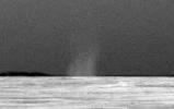
2010-07-28
Mars
Mars Exploration Rover (MER)
Panoramic Camera
1020x222x1
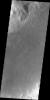
PIA13305:
First Dust Devil Seen by Opportunity
Full Resolution:
TIFF
(226.9 kB)
JPEG
(38.88 kB)
2010-07-29
Mars
2001 Mars Odyssey
THEMIS
1342x2769x1
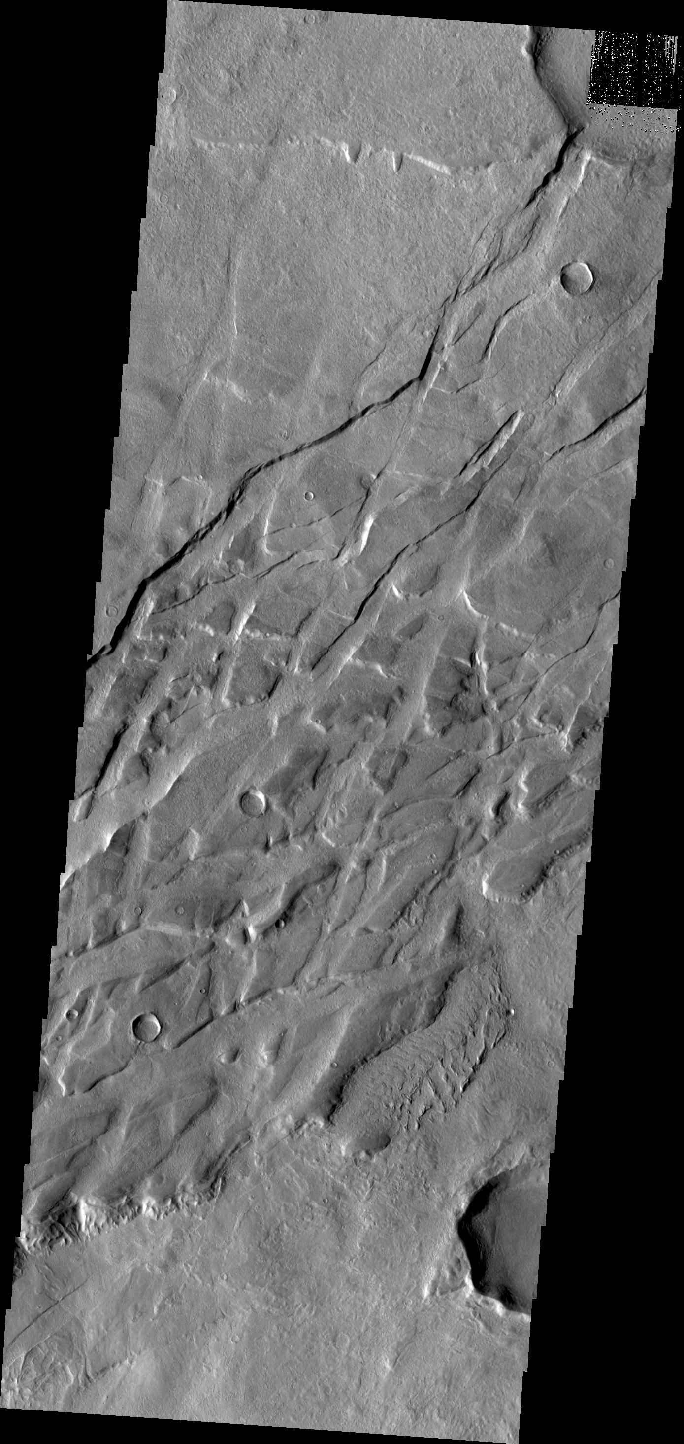
PIA13292:
Tharsis Lava
Full Resolution:
TIFF
(3.72 MB)
JPEG
(551.1 kB)
2010-07-30
Mars
2001 Mars Odyssey
THEMIS
1389x2919x1
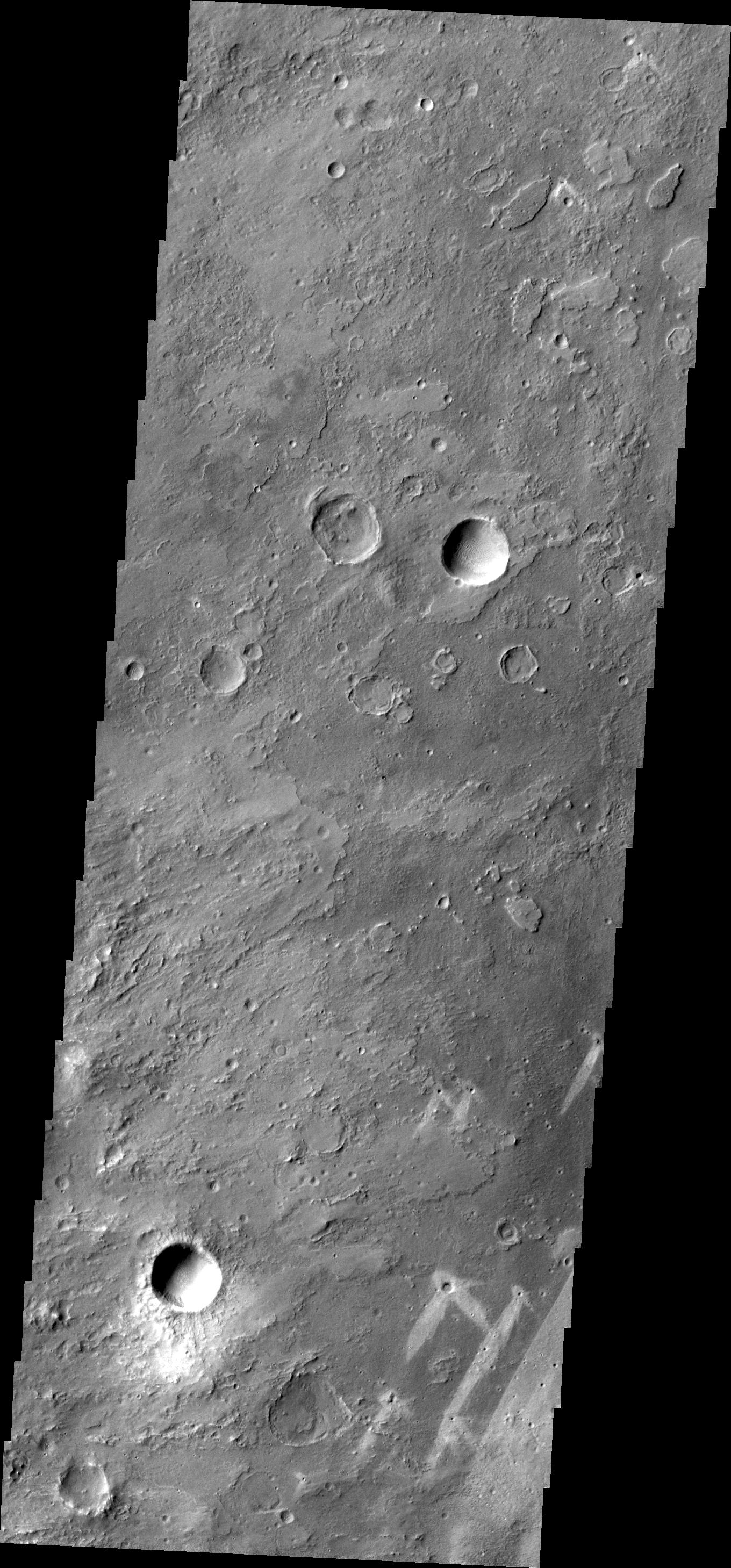
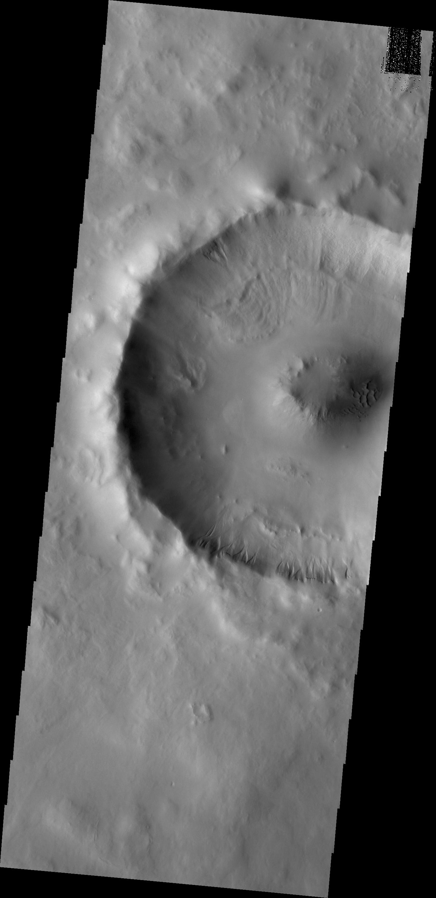
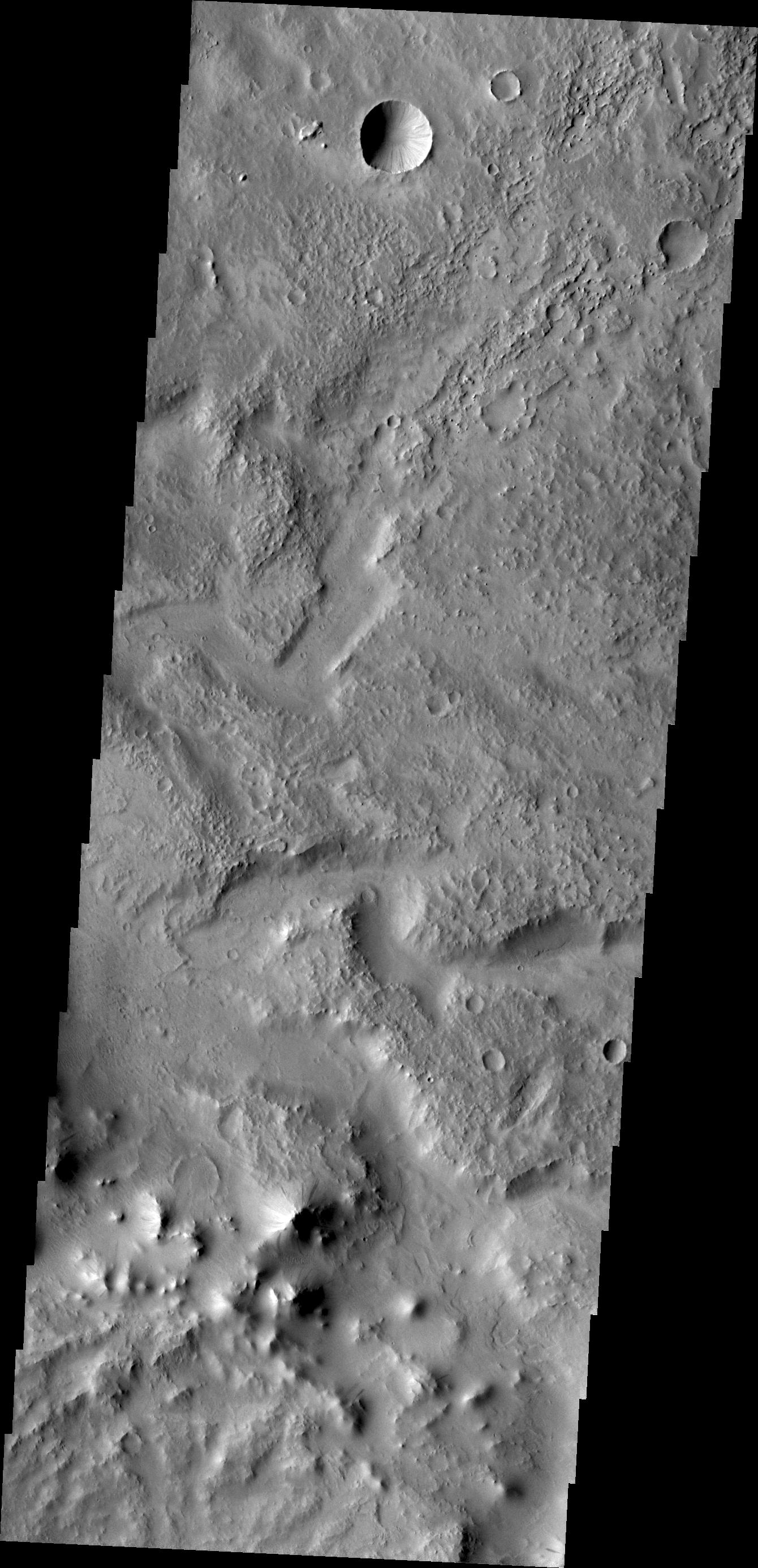
PIA13309:
Crater in Arabia
Full Resolution:
TIFF
(4.059 MB)
JPEG
(327 kB)
2010-08-02
Mars
2001 Mars Odyssey
THEMIS
1356x2770x1
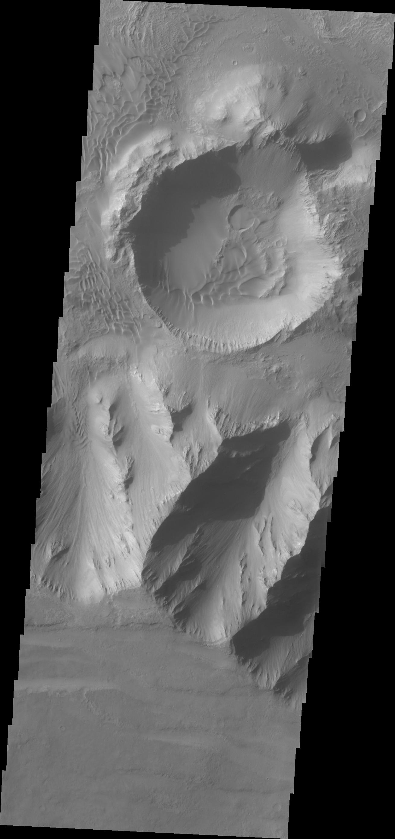
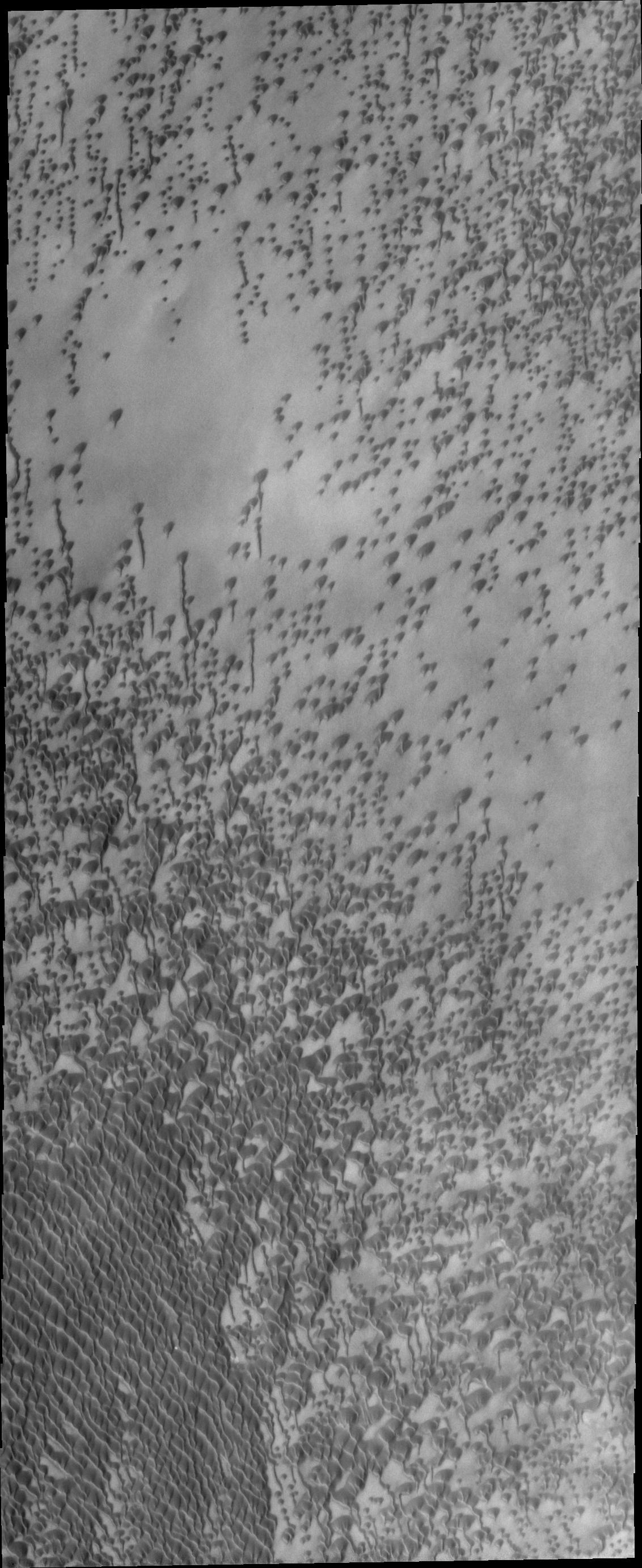
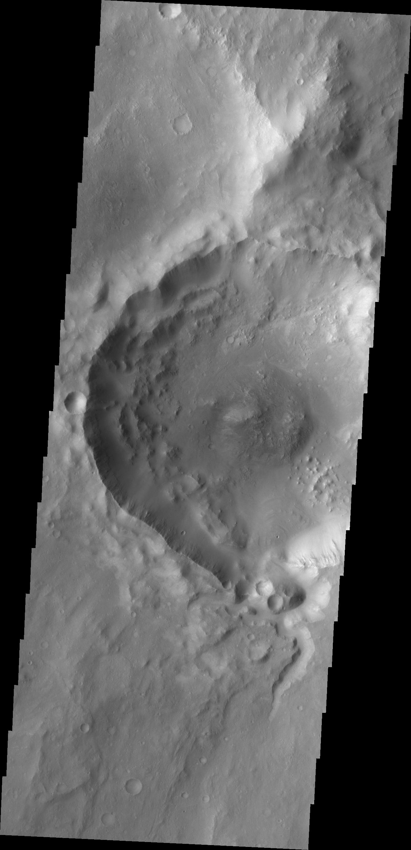
PIA13311:
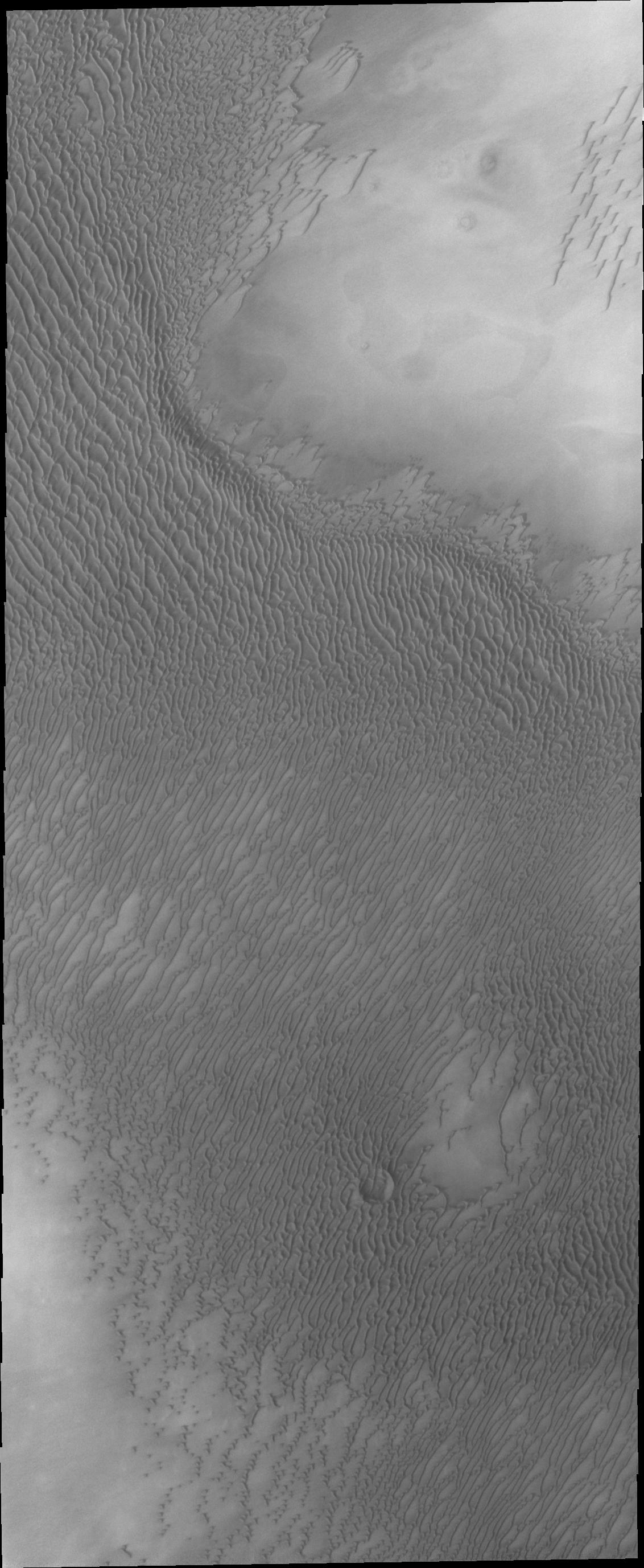
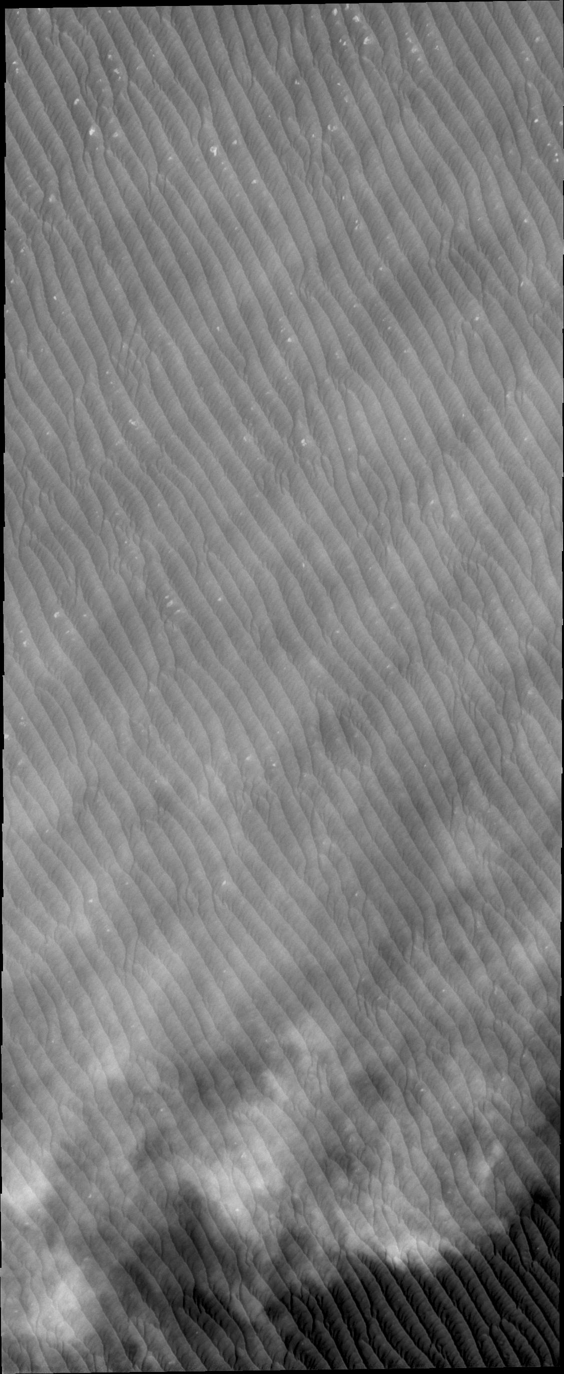
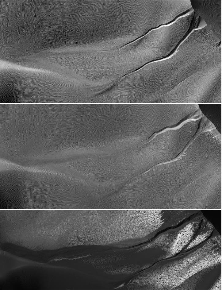
Kasei Valles Dunes
Full Resolution:
TIFF
(3.76 MB)
JPEG
(267.4 kB)
2010-08-03
Mars
2001 Mars Odyssey
THEMIS
1124x2750x1
PIA13313:
North Polar Dunes
Full Resolution:
TIFF
(3.094 MB)
JPEG
(475.8 kB)
2010-08-04
Mars
Mars Reconnaissance Orbiter (MRO)
HiRISE
774x565x3
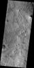
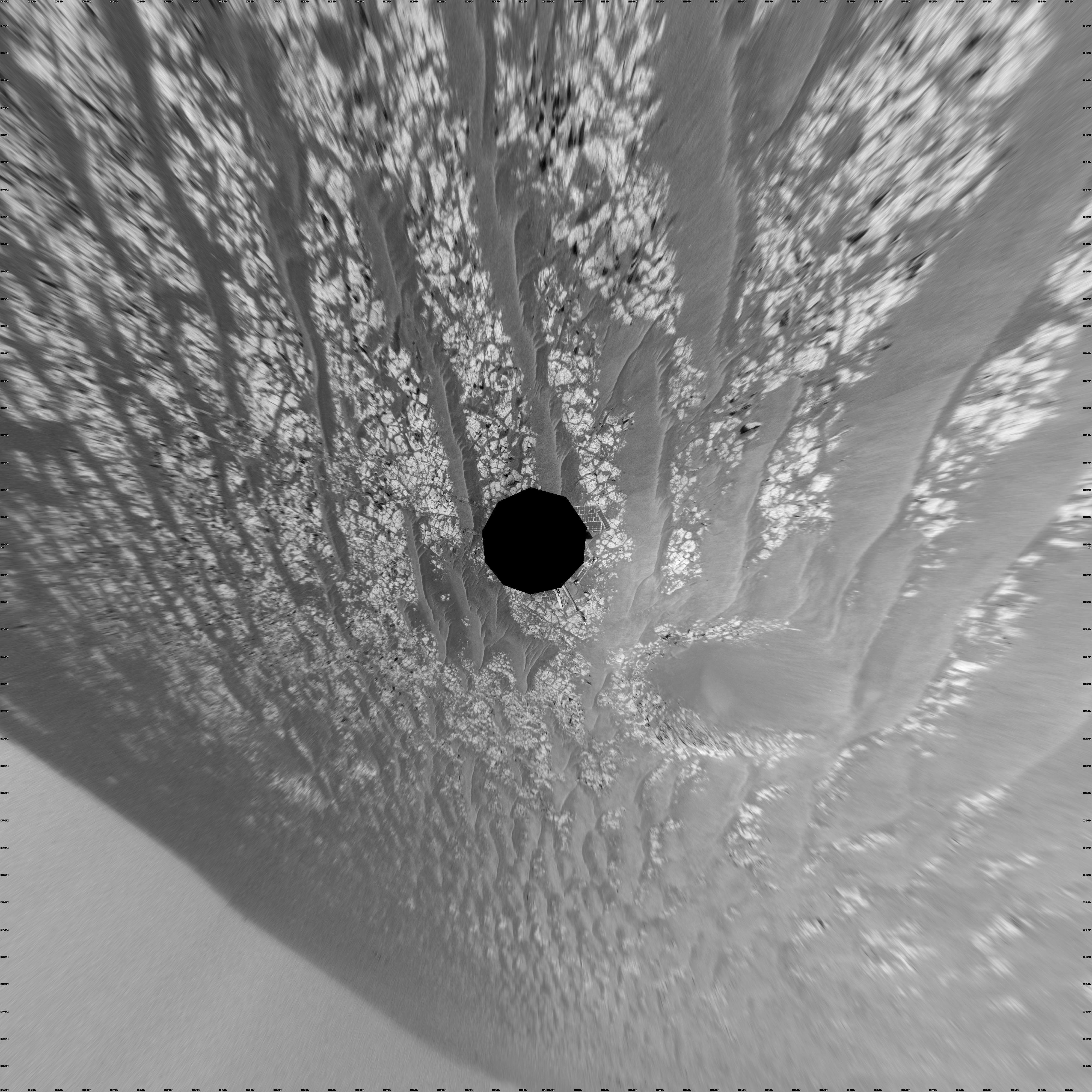
PIA13315:
Exposed Ice in a Fresh Crater
Full Resolution:
TIFF
(1.314 MB)
JPEG
(78.91 kB)
2010-08-04
Mars
2001 Mars Odyssey
THEMIS
1356x2772x1
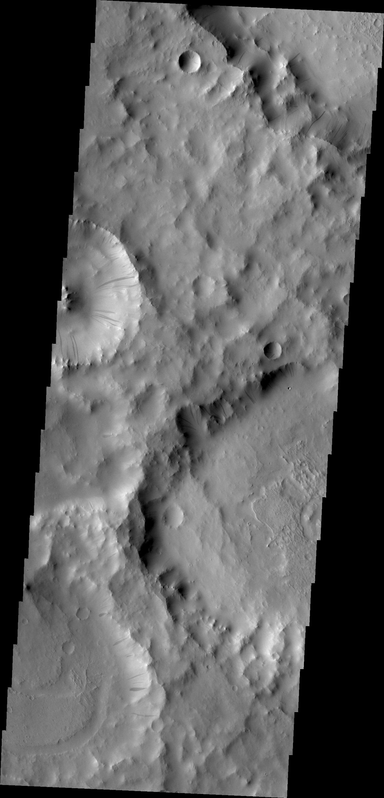
PIA13322:
Dunes North of Antoniadi and Baldet Craters
Full Resolution:
TIFF
(3.763 MB)
JPEG
(311.6 kB)
2010-08-05
Mars
2001 Mars Odyssey
THEMIS
1310x2782x1
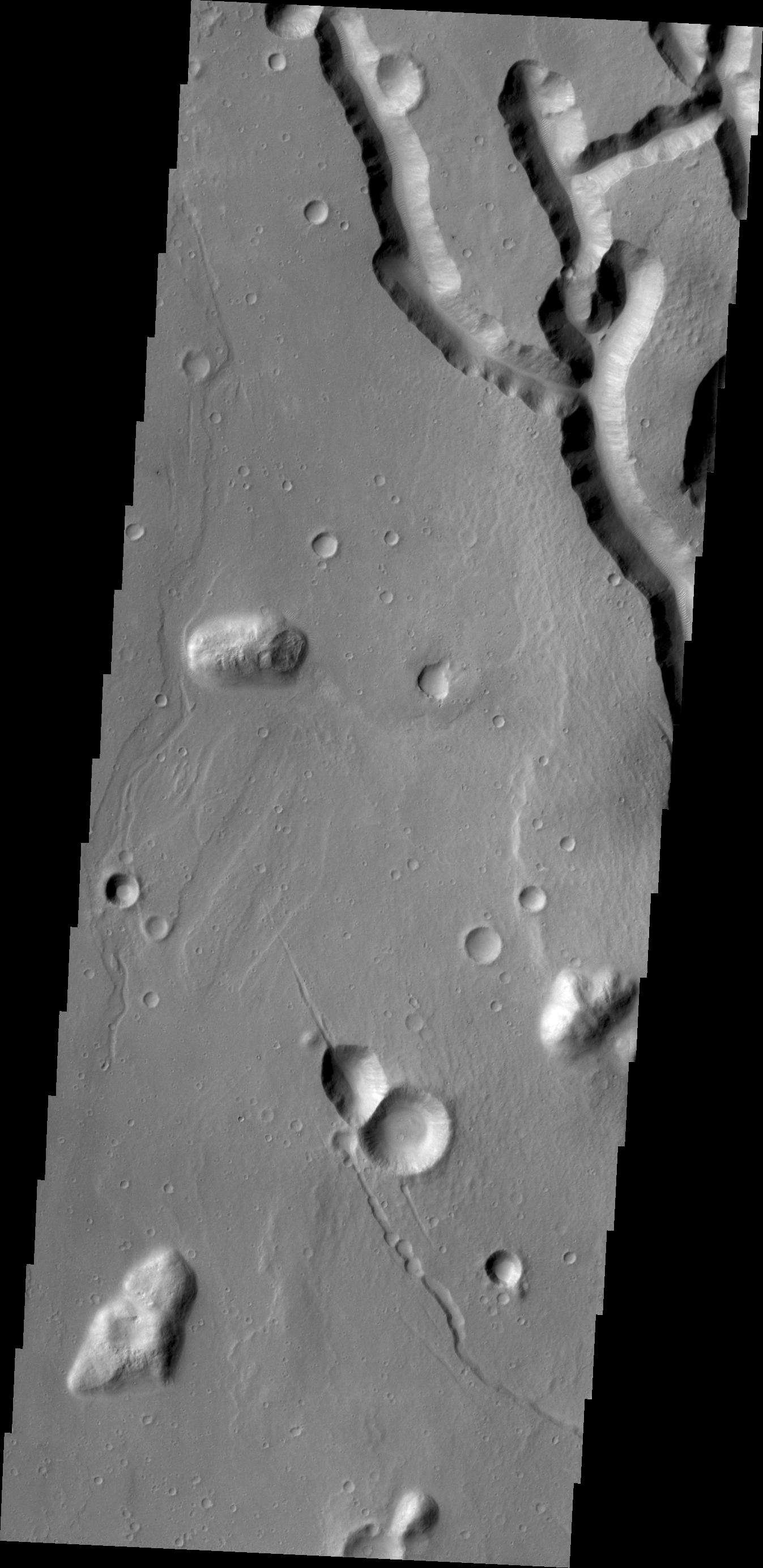
PIA13323:
Dunes Within Coprates Chasma
Full Resolution:
TIFF
(3.648 MB)
JPEG
(221.9 kB)
2010-08-06
Mars
2001 Mars Odyssey
THEMIS
1333x2918x1
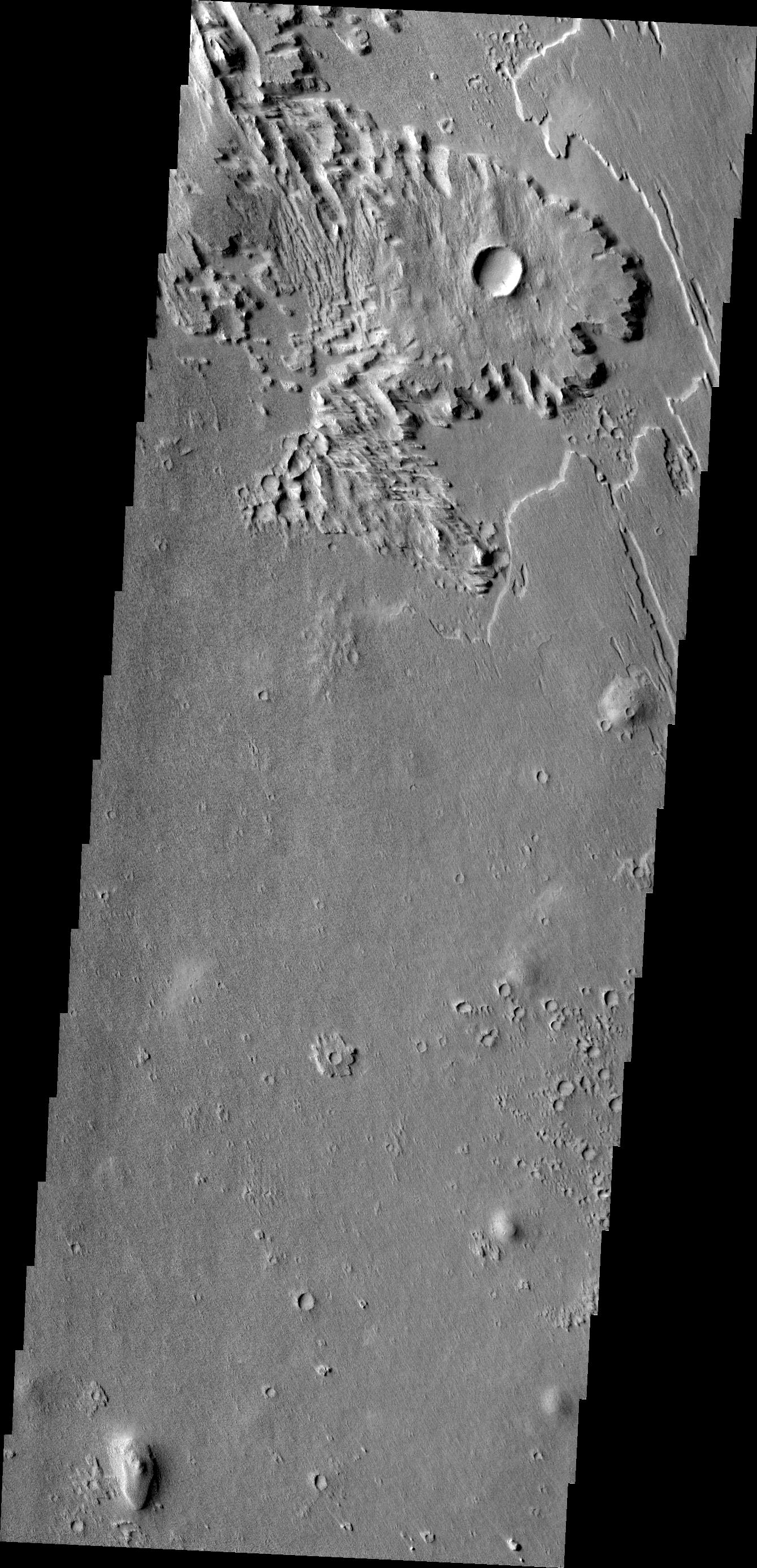
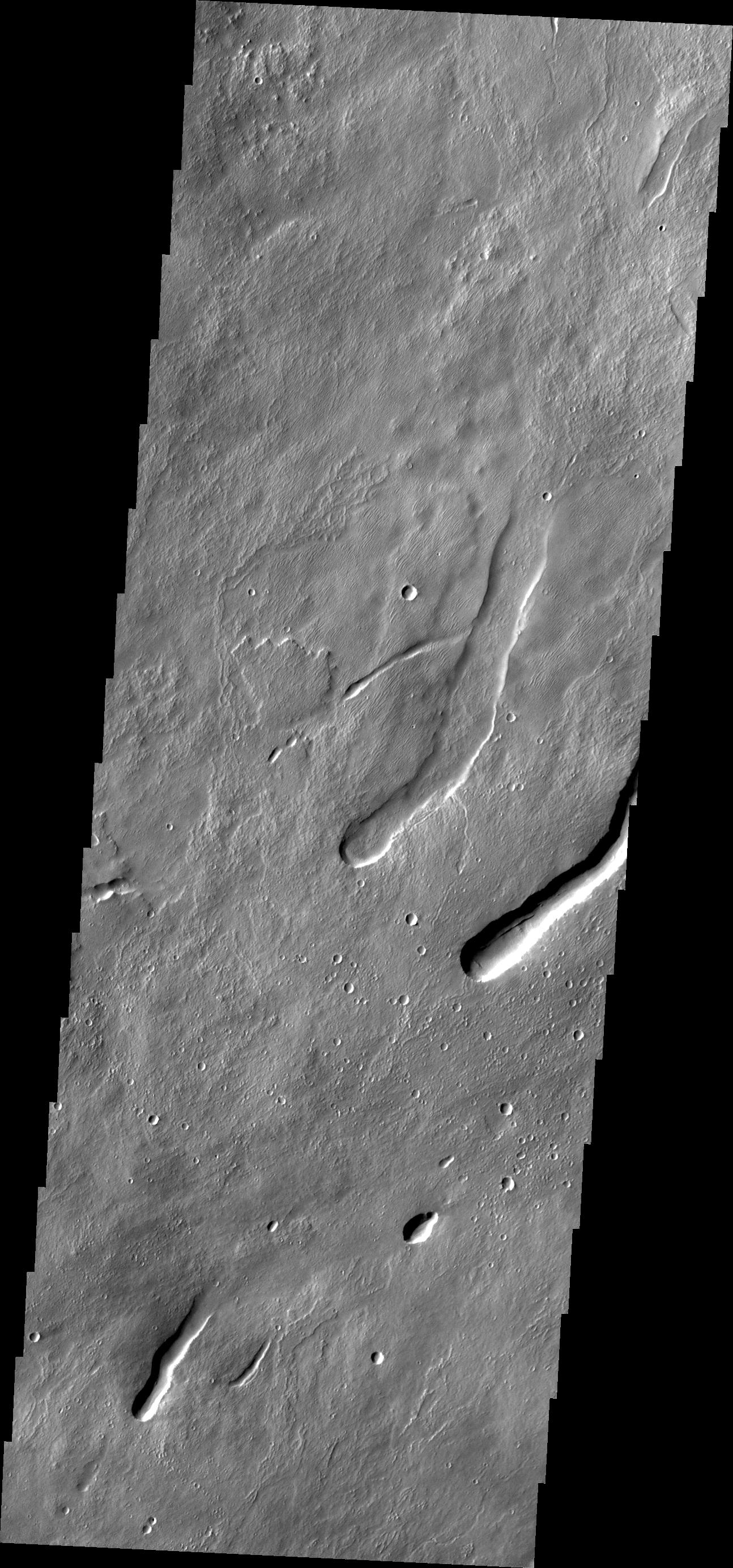
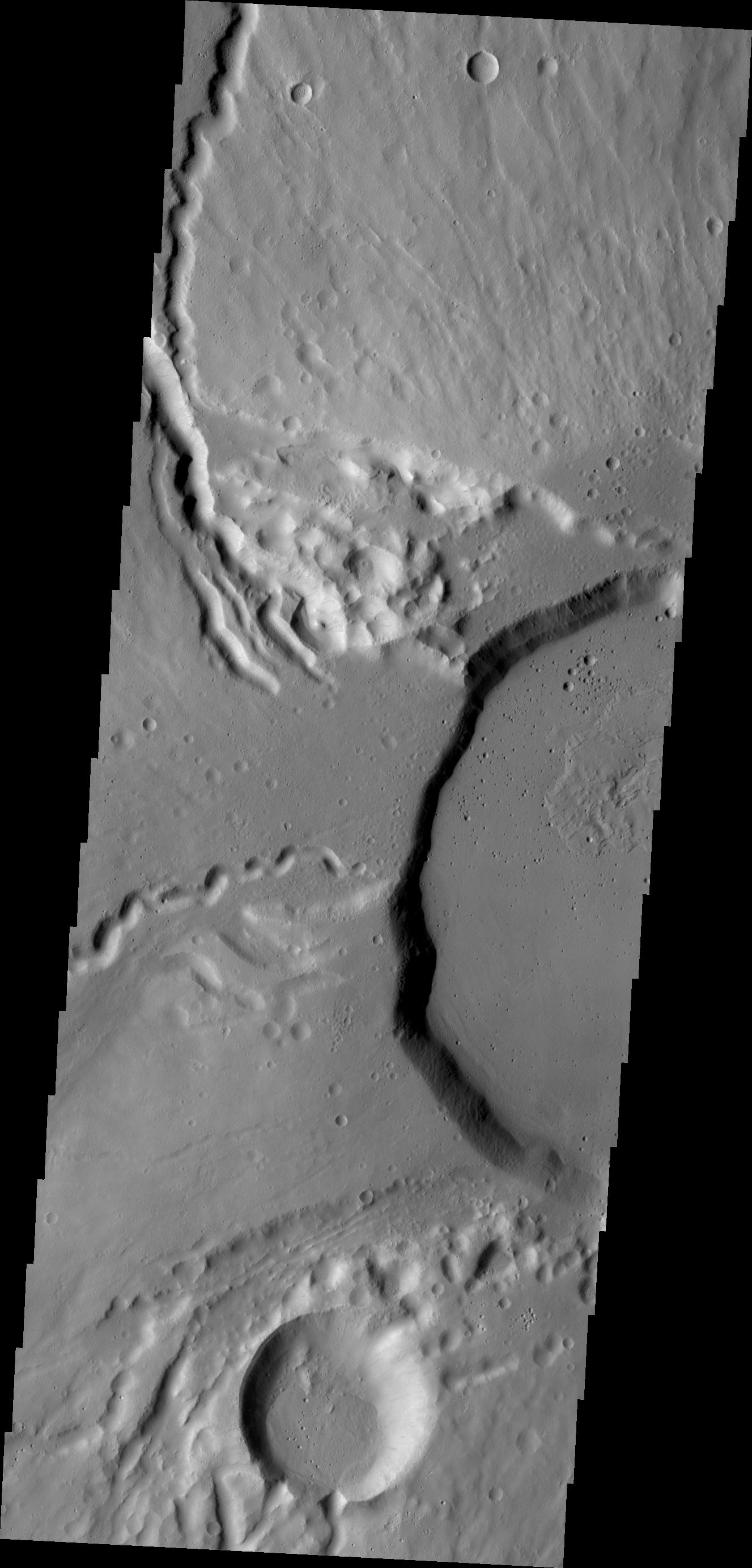
PIA13324:
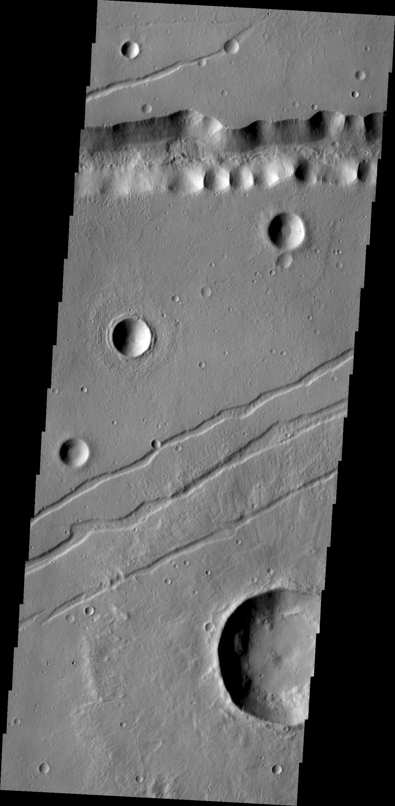
Cerberus Fossae
Full Resolution:
TIFF
(3.894 MB)
JPEG
(358 kB)
2010-08-09
Mars
2001 Mars Odyssey
THEMIS
1347x2770x1
PIA13325:
Chaos Margin
Full Resolution:
TIFF
(3.735 MB)
JPEG
(285.4 kB)
2010-08-10
Mars
2001 Mars Odyssey
THEMIS
1324x2777x1
PIA13326:
Ganges Chasma
Full Resolution:
TIFF
(3.681 MB)
JPEG
(219.9 kB)
2010-08-11
Mars
2001 Mars Odyssey
THEMIS
1342x2921x1
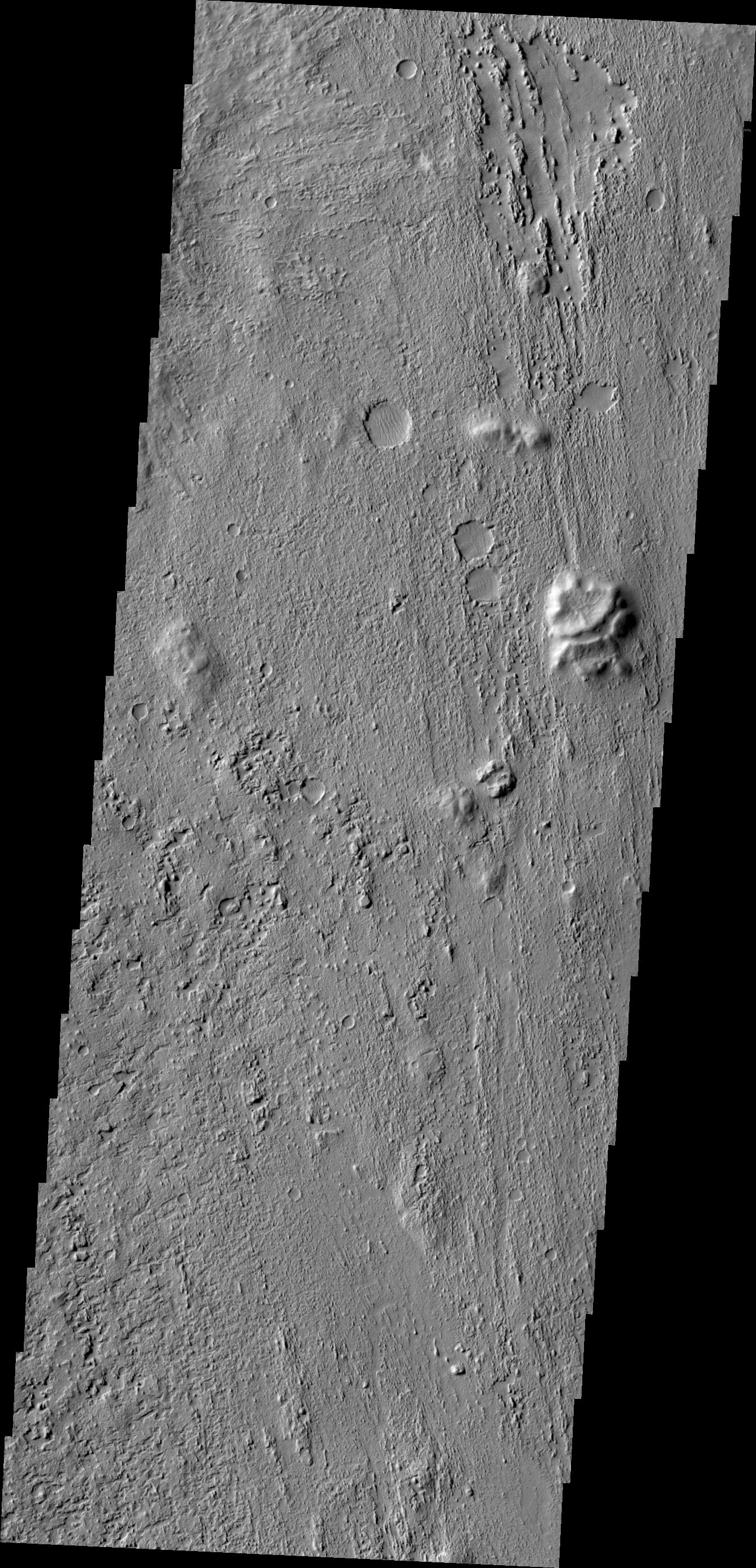
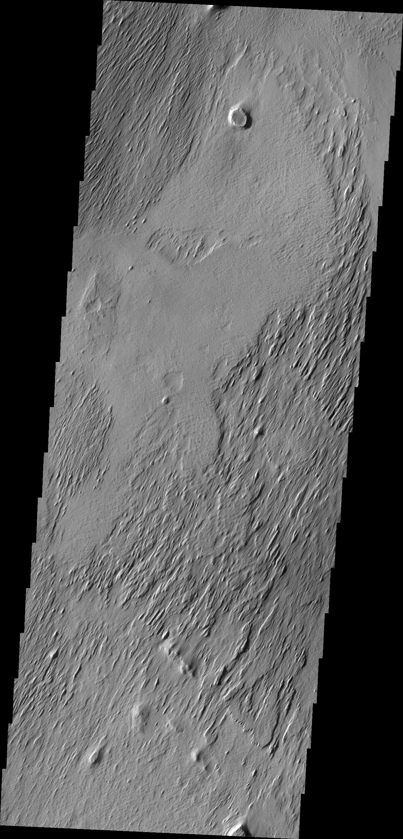
PIA13327:
Streamlined Island
Full Resolution:
TIFF
(3.924 MB)
JPEG
(326.3 kB)
2010-08-12
Mars
2001 Mars Odyssey
THEMIS
1343x2769x1
PIA13328:
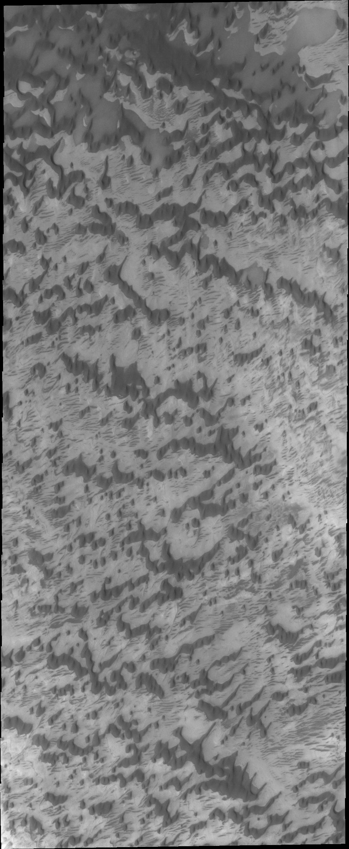
Danielson Crater Dunes
Full Resolution:
TIFF
(3.723 MB)
JPEG
(374.6 kB)
2010-08-13
Mars
2001 Mars Odyssey
THEMIS
1360x2918x1
PIA13329:
Windstreaks on Meridiani Planum
Full Resolution:
TIFF
(3.973 MB)
JPEG
(537.7 kB)
2010-08-16
Mars
2001 Mars Odyssey
THEMIS
1131x2904x1
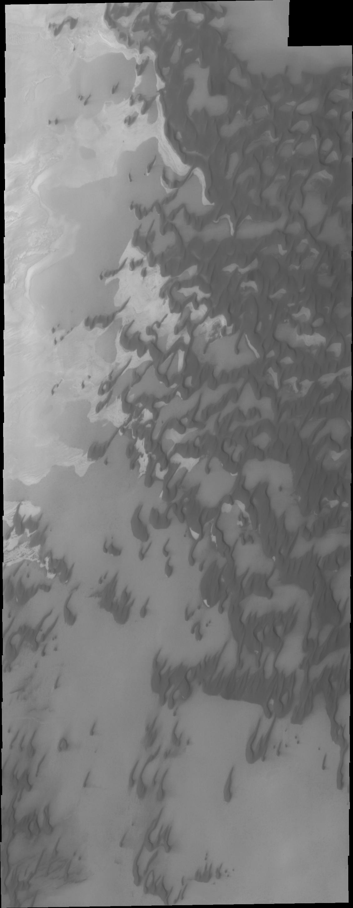
PIA13333:
Polar Dunes
Full Resolution:
TIFF
(3.288 MB)
JPEG
(162.7 kB)
2010-08-17
Mars
2001 Mars Odyssey
THEMIS
1339x2772x1
PIA13334:
Wind Effects
Full Resolution:
TIFF
(3.716 MB)
JPEG
(597.1 kB)
2010-08-18
Mars
2001 Mars Odyssey
THEMIS
1337x2772x1
PIA13336:
Aram Chaos
Full Resolution:
TIFF
(3.71 MB)
JPEG
(204.3 kB)
2010-08-19
Mars
2001 Mars Odyssey
THEMIS
1130x2903x1
PIA13344:
Polar Dunes
Full Resolution:
TIFF
(3.284 MB)
JPEG
(157 kB)
2010-08-20
Mars
2001 Mars Odyssey
THEMIS
1389x2930x1
PIA13345:
Tempe Terra
Full Resolution:
TIFF
(4.075 MB)
JPEG
(508.1 kB)
2010-08-23
Mars
2001 Mars Odyssey
THEMIS
1294x2769x1
PIA13348:
Arsia Mons
Full Resolution:
TIFF
(3.587 MB)
JPEG
(510.3 kB)
2010-08-24
Mars
2001 Mars Odyssey
THEMIS
1336x2772x1
PIA13349:
Zephyria Planum
Full Resolution:
TIFF
(3.707 MB)
JPEG
(643.8 kB)
2010-08-26
Mars
2001 Mars Odyssey
THEMIS
1367x2918x1
PIA13350:
Utopia Planitia
Full Resolution:
TIFF
(3.994 MB)
JPEG
(417.7 kB)
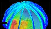
2010-08-26
Mars
Mars Reconnaissance Orbiter (MRO)
MCS
962x545x3
PIA13353:
Martian Atmosphere Profiles
Full Resolution:
TIFF
(1.575 MB)
JPEG
(68.18 kB)
2010-08-26
Mars
2001 Mars Odyssey
THEMIS
1349x2770x1
PIA13354:
Channel in Terra Sabaea
Full Resolution:
TIFF
(3.741 MB)
JPEG
(470.9 kB)
2010-08-27
Mars
2001 Mars Odyssey
THEMIS
1392x2781x1
PIA13355:
Tempe Terra
Full Resolution:
TIFF
(3.876 MB)
JPEG
(367.8 kB)
2010-08-30
Mars
2001 Mars Odyssey
THEMIS
1314x2775x1
PIA13356:
Windstreaks on Arsia Mons
Full Resolution:
TIFF
(3.65 MB)
JPEG
(575.6 kB)
2010-08-31
Mars
2001 Mars Odyssey
THEMIS
1329x2764x1
PIA13357:
Olympus Mons Flows
Full Resolution:
TIFF
(3.677 MB)
JPEG
(617 kB)
2010-09-01
Mars
2001 Mars Odyssey
THEMIS
1413x2802x1
PIA13361:
Dust Devil Tracks
Full Resolution:
TIFF
(3.964 MB)
JPEG
(550.4 kB)
2010-09-02
Mars
2001 Mars Odyssey
THEMIS
1349x2923x1
PIA13362:
Tinto Vallis
Full Resolution:
TIFF
(3.947 MB)
JPEG
(258 kB)
2010-09-03
Mars
2001 Mars Odyssey
THEMIS
1384x2781x1
PIA13366:
Moreaux Crater Dunes
Full Resolution:
TIFF
(3.854 MB)
JPEG
(305.6 kB)
2010-09-04
Mars
2001 Mars Odyssey
THEMIS
1337x2770x1
PIA13367:
Nili Patera Dunes
Full Resolution:
TIFF
(3.707 MB)
JPEG
(293.9 kB)
2010-09-07
Mars
Mars Exploration Rover (MER)
Navigation Camera
4278x1143x3
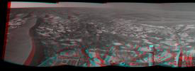
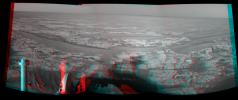
PIA13371:
'Cambridge Bay' Outcrop Examined by Opportunity (Stereo)
Full Resolution:
TIFF
(14.67 MB)
JPEG
(549.4 kB)
2010-09-07
Mars
Mars Exploration Rover (MER)
Navigation Camera
4278x1143x1
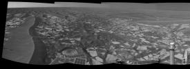
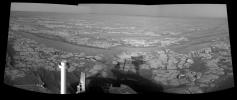
PIA13372:
'Cambridge Bay' Outcrop Examined by Opportunity
Full Resolution:
TIFF
(4.899 MB)
JPEG
(522.6 kB)
2010-09-07
Mars
2001 Mars Odyssey
THEMIS
1132x2753x1
PIA13373:
North Polar Dunes
Full Resolution:
TIFF
(3.12 MB)
JPEG
(327.6 kB)
2010-09-08
Mars
2001 Mars Odyssey
THEMIS
1133x2752x1
PIA13377:
North Polar Dunes
Full Resolution:
TIFF
(3.121 MB)
JPEG
(321.5 kB)
2010-09-09
Mars
Mars Exploration Rover (MER)
Navigation Camera
1024x1024x1
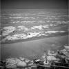
PIA13375:
View from Halfway Through Multi-Year Trek
Full Resolution:
TIFF
(1.05 MB)
JPEG
(196 kB)
2010-09-09
Mars
2001 Mars Odyssey
THEMIS
1335x2770x1
PIA13378:
Meridiani Planum
Full Resolution:
TIFF
(3.702 MB)
JPEG
(370.6 kB)
2010-09-10
Mars
2001 Mars Odyssey
THEMIS
1359x2769x1
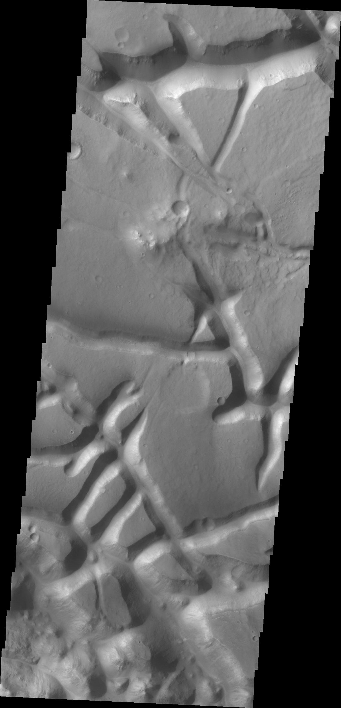
PIA13379:
Labeatis Fossae
Full Resolution:
TIFF
(3.767 MB)
JPEG
(352.3 kB)
2010-09-13
Mars
2001 Mars Odyssey
THEMIS
1374x2773x1
PIA13381:
Arabia Terra
Full Resolution:
TIFF
(3.815 MB)
JPEG
(350.7 kB)
2010-09-14
Mars
2001 Mars Odyssey
THEMIS
1127x2743x1
PIA13386:
Clouds
Full Resolution:
TIFF
(3.095 MB)
JPEG
(315.8 kB)
2010-09-15
Mars
2001 Mars Odyssey
THEMIS
1348x2768x1
PIA13387:
Collapse Features
Full Resolution:
TIFF
(3.735 MB)
JPEG
(201 kB)
2010-09-16
Mars
2001 Mars Odyssey
THEMIS
1353x2771x1
PIA13392:
Chaos
Full Resolution:
TIFF
(3.753 MB)
JPEG
(217.3 kB)
2010-09-17
Mars
2001 Mars Odyssey
THEMIS
1382x2780x1
PIA13394:
Moreux Crater Dunes
Full Resolution:
TIFF
(3.847 MB)
JPEG
(229 kB)
2010-09-20
Mars
2001 Mars Odyssey
THEMIS
1329x2770x1
PIA13396:
Dark Slope Streaks
Full Resolution:
TIFF
(3.685 MB)
JPEG
(179.9 kB)
2010-09-21
Mars
2001 Mars Odyssey
THEMIS
1436x2954x1
PIA13406:
Gullies
Full Resolution:
TIFF
(4.247 MB)
JPEG
(217.9 kB)
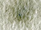
2010-09-21
Mars
Mars Exploration Rover (MER)
Panoramic Camera
850x505x1
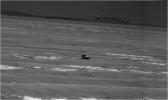
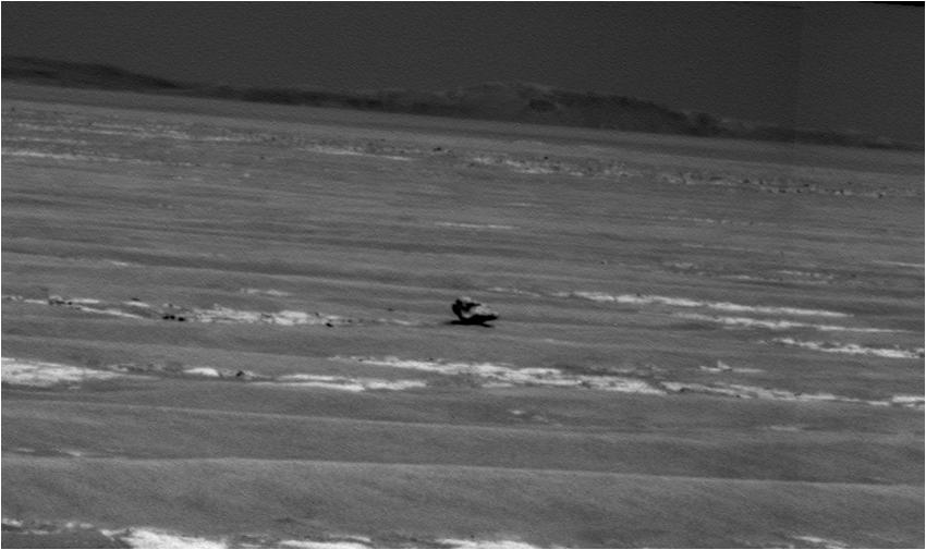
PIA13395:
Opportunity Heading for Possible Meteorite
Full Resolution:
TIFF
(429.9 kB)
JPEG
(48.51 kB)
2010-09-22
Mars
2001 Mars Odyssey
THEMIS
669x1461x1
PIA13407:
Aurorae Chaos
Full Resolution:
TIFF
(978.6 kB)
JPEG
(76.96 kB)
2010-09-23
Mars
2001 Mars Odyssey
THEMIS
1329x2770x1
PIA13408:
Ejecta Erosion
Full Resolution:
TIFF
(3.685 MB)
JPEG
(301.2 kB)
2010-09-24
Mars
2001 Mars Odyssey
THEMIS
1340x2771x1
PIA13410:
Tikhonravov Crater
Full Resolution:
TIFF
(3.717 MB)
JPEG
(410.8 kB)
2010-09-27
Mars
2001 Mars Odyssey
THEMIS
1132x2762x1
PIA13411:
Polar Dunes
Full Resolution:
TIFF
(3.13 MB)
JPEG
(392.2 kB)
2010-09-28
Mars
2001 Mars Odyssey
THEMIS
1333x2767x1
PIA13412:
Dark Slope Streaks
Full Resolution:
TIFF
(3.692 MB)
JPEG
(272.9 kB)
2010-09-29
Mars
Mars Exploration Rover (MER)
Navigation Camera
4000x4000x1
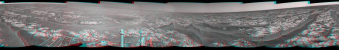
PIA13413:
Opportunity's Surroundings After Sol 2363 Drive (Vertical)
Full Resolution:
TIFF
(16.02 MB)
JPEG
(1.586 MB)
2010-09-29
Mars
Mars Exploration Rover (MER)
Navigation Camera
4127x4127x1
PIA13414:
Opportunity's Surroundings After Sol 2363 Drive (Polar)
Full Resolution:
TIFF
(17.07 MB)
JPEG
(1.483 MB)
2010-09-29
Mars
Mars Exploration Rover (MER)
Navigation Camera
7753x1161x3
PIA13415:
Opportunity's Surroundings After Sol 2363 Drive (Stereo)
Full Resolution:
TIFF
(27 MB)
JPEG
(1.221 MB)
2010-09-29
Mars
Mars Exploration Rover (MER)
Navigation Camera
7753x1161x1
PIA13416:
Opportunity's Surroundings After Sol 2363 Drive
Full Resolution:
TIFF
(9.011 MB)
JPEG
(1.171 MB)
2010-09-29
Mars
Mars Exploration Rover (MER)
Navigation Camera
912x639x3
PIA13417:
Opportunity's Close-up of 'Oileán Ruaidh' (Stereo)
Full Resolution:
TIFF
(1.751 MB)
JPEG
(91.42 kB)
2010-09-29
Mars
2001 Mars Odyssey
THEMIS
1341x2770x1
PIA13431:
Balvicar Crater
Full Resolution:
TIFF
(3.718 MB)
JPEG
(238.8 kB)
2010-09-30
Mars
2001 Mars Odyssey
THEMIS
1327x2767x1
PIA13433:
Ceraunius Tholus
Full Resolution:
TIFF
(3.676 MB)
JPEG
(291.1 kB)
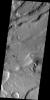
2010-10-02
Mars
2001 Mars Odyssey
THEMIS
657x1465x1
PIA13434:
Arsia Mons Flows
Full Resolution:
TIFF
(963.7 kB)
JPEG
(157 kB)
2010-10-04
Mars
2001 Mars Odyssey
THEMIS
1333x2772x1
PIA13437:
Wind Erosion
Full Resolution:
TIFF
(3.699 MB)
JPEG
(551.9 kB)
2010-10-05
Mars
Mars Exploration Rover (MER)
Panoramic Camera
1021x1024x3
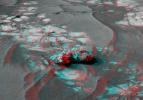
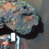
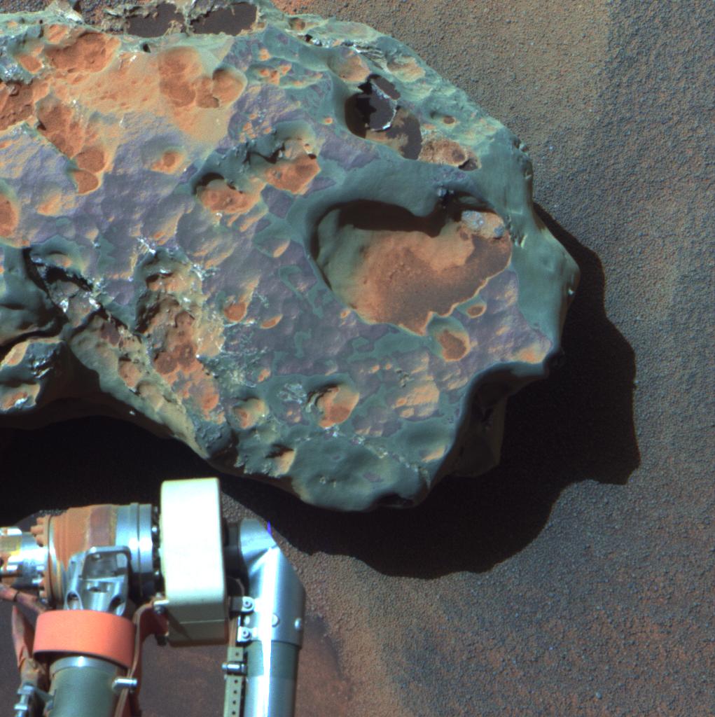
PIA13418:
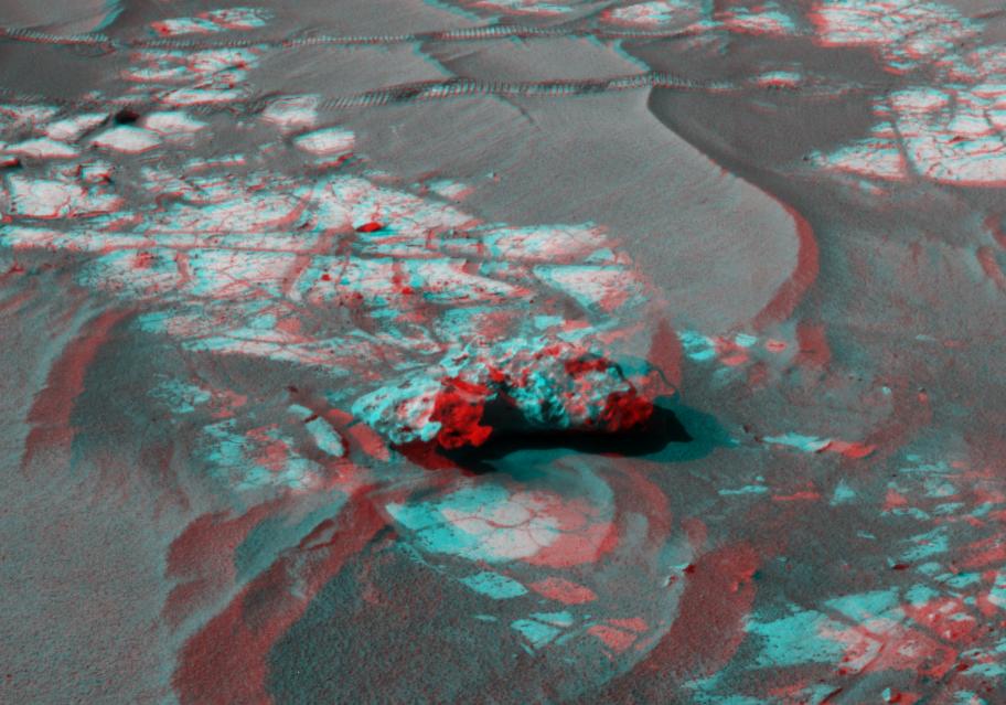
Opportunity's Close-up of a Meteorite: 'Oileán Ruaidh' (False Color)
Full Resolution:
TIFF
(3.141 MB)
JPEG
(148.9 kB)
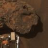
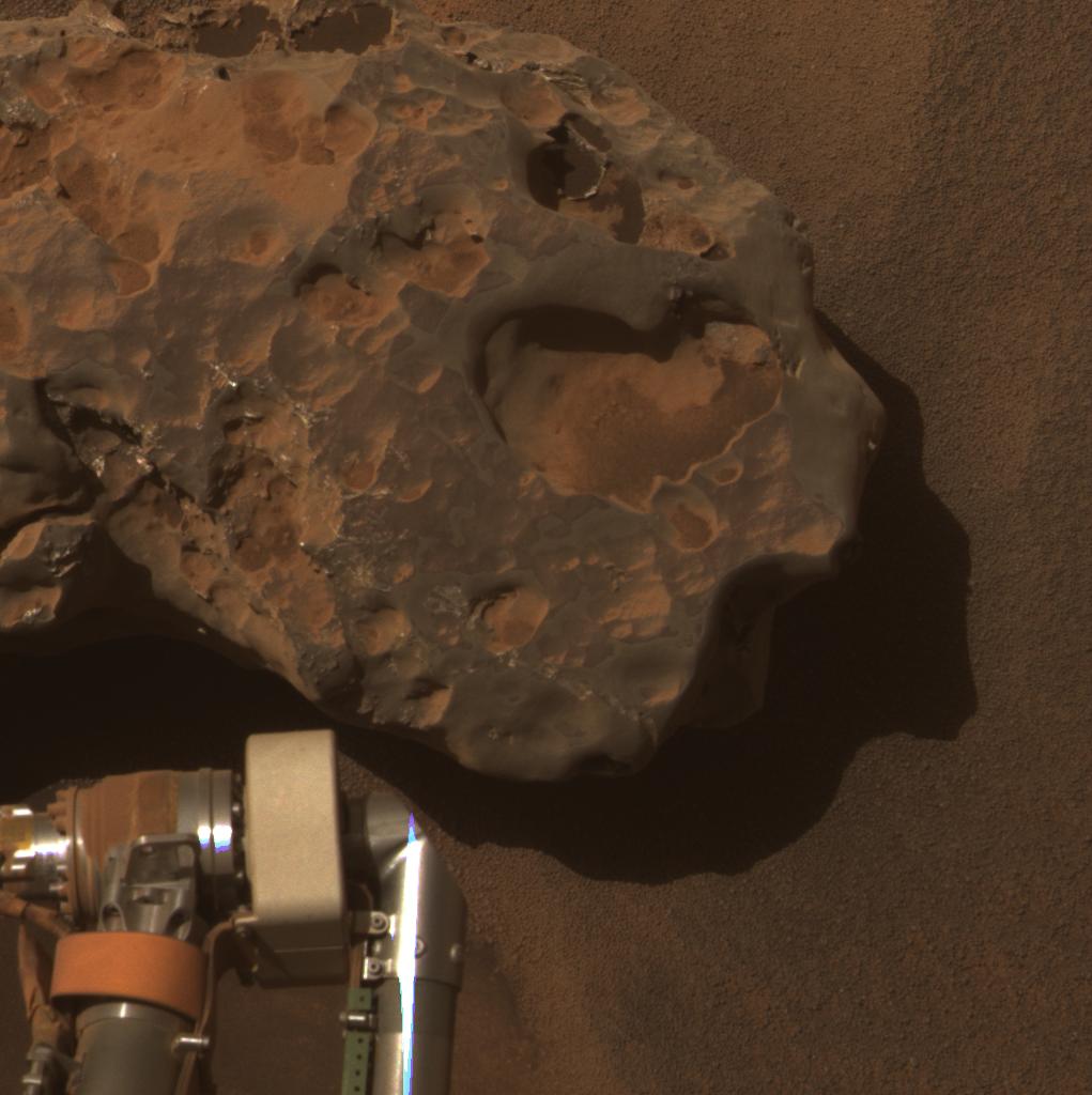
2010-10-05
Mars
Mars Exploration Rover (MER)
Panoramic Camera
1021x1024x3
PIA13419:
Opportunity's Close-up of a Meteorite: 'Oileán Ruaidh' (True Color)
Full Resolution:
TIFF
(3.141 MB)
JPEG
(97.3 kB)
2010-10-05
Mars
2001 Mars Odyssey
THEMIS
1317x2769x1
PIA13439:
Pavonis Mons
Full Resolution:
TIFF
(3.651 MB)
JPEG
(655.4 kB)
2010-10-06
Mars
2001 Mars Odyssey
THEMIS
1353x2921x1
PIA13461:
Wind Texture
Full Resolution:
TIFF
(3.956 MB)
JPEG
(425.2 kB)
2010-10-07
Mars
2001 Mars Odyssey
THEMIS
1359x2918x1
PIA13462:
Central Peak Crater
Full Resolution:
TIFF
(3.97 MB)
JPEG
(318.2 kB)
2010-10-08
Mars
2001 Mars Odyssey
THEMIS
1346x2775x1
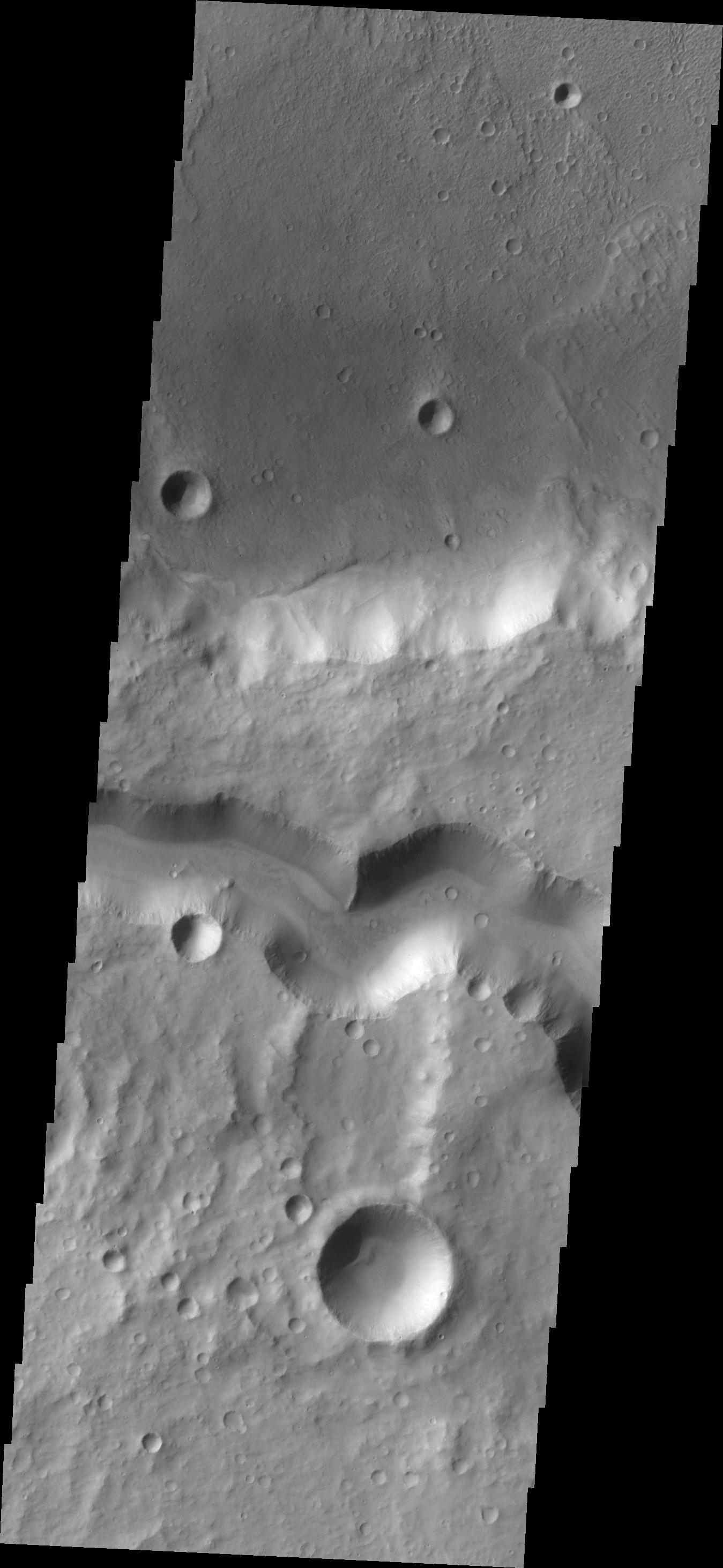
PIA13464:
Alba Mons Tectonics
Full Resolution:
TIFF
(3.739 MB)
JPEG
(471.6 kB)
2010-10-11
Mars
2001 Mars Odyssey
THEMIS
1333x2769x1
PIA13465:
Tharsis Lava
Full Resolution:
TIFF
(3.695 MB)
JPEG
(481.8 kB)
2010-10-12
Mars
2001 Mars Odyssey
THEMIS
1334x2776x1
PIA13486:
Juventae Chasma
Full Resolution:
TIFF
(3.707 MB)
JPEG
(218.7 kB)
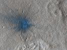
2010-10-12
Mars
Mars Reconnaissance Orbiter (MRO)
HiRISE
2560x1920x3
PIA13479:
New Impact Crater
Full Resolution:
TIFF
(14.76 MB)
JPEG
(1.291 MB)
2010-10-13
Mars
Mars Reconnaissance Orbiter (MRO)
HiRISE
2560x1920x3
PIA13480:
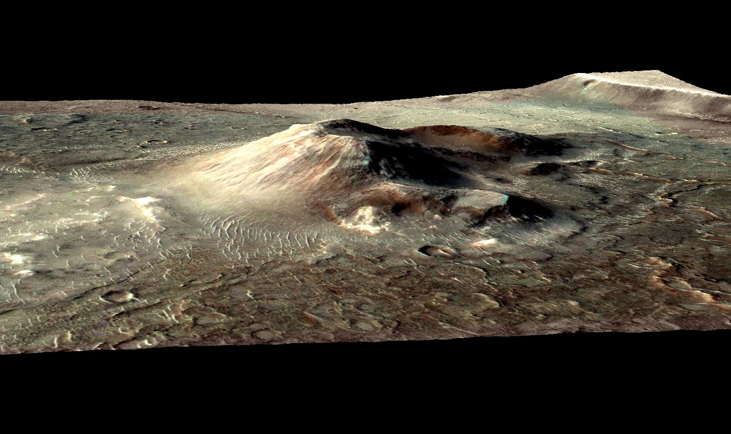
Possible Cinder Cone on the Southern Flank of Pavonis Mons
Full Resolution:
TIFF
(14.76 MB)
JPEG
(929 kB)
2010-10-13
Mars
2001 Mars Odyssey
THEMIS
1379x2780x1
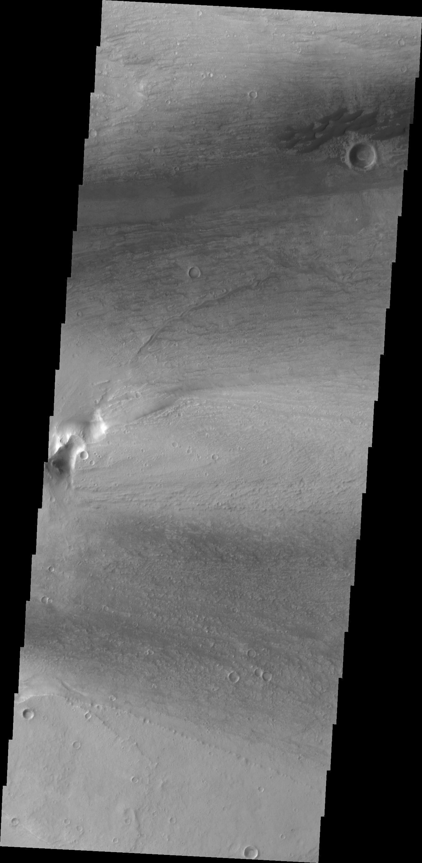
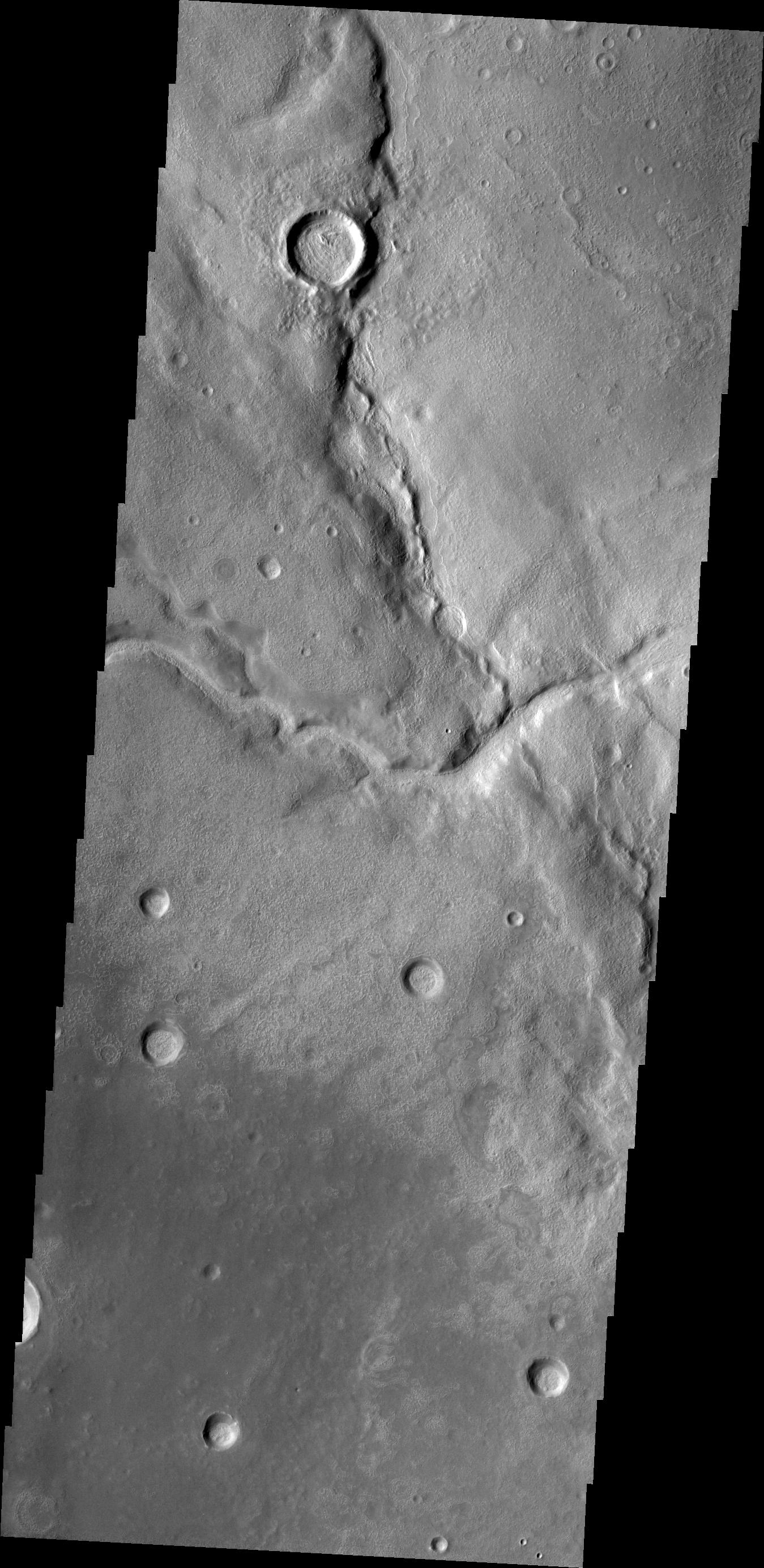
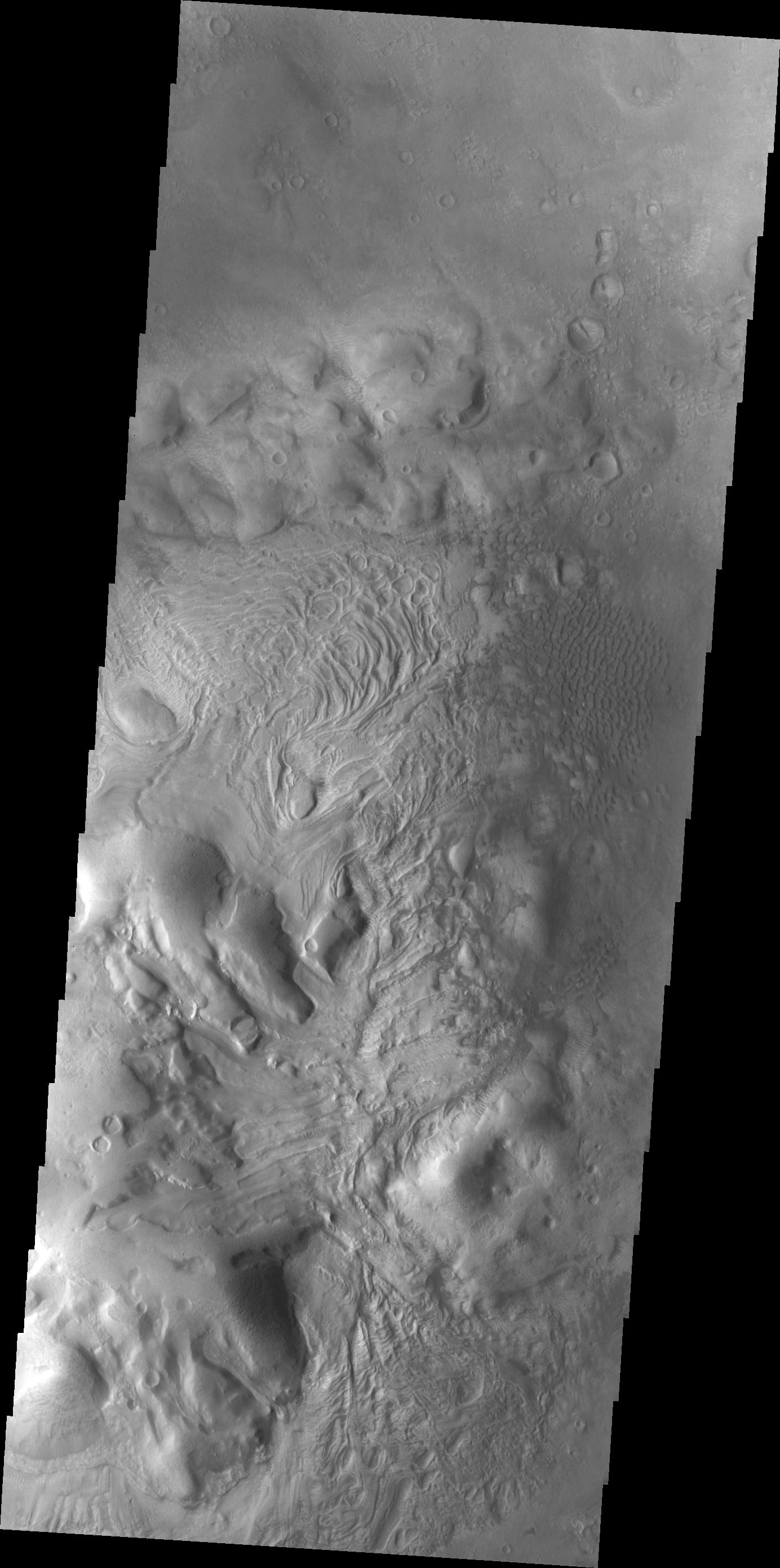
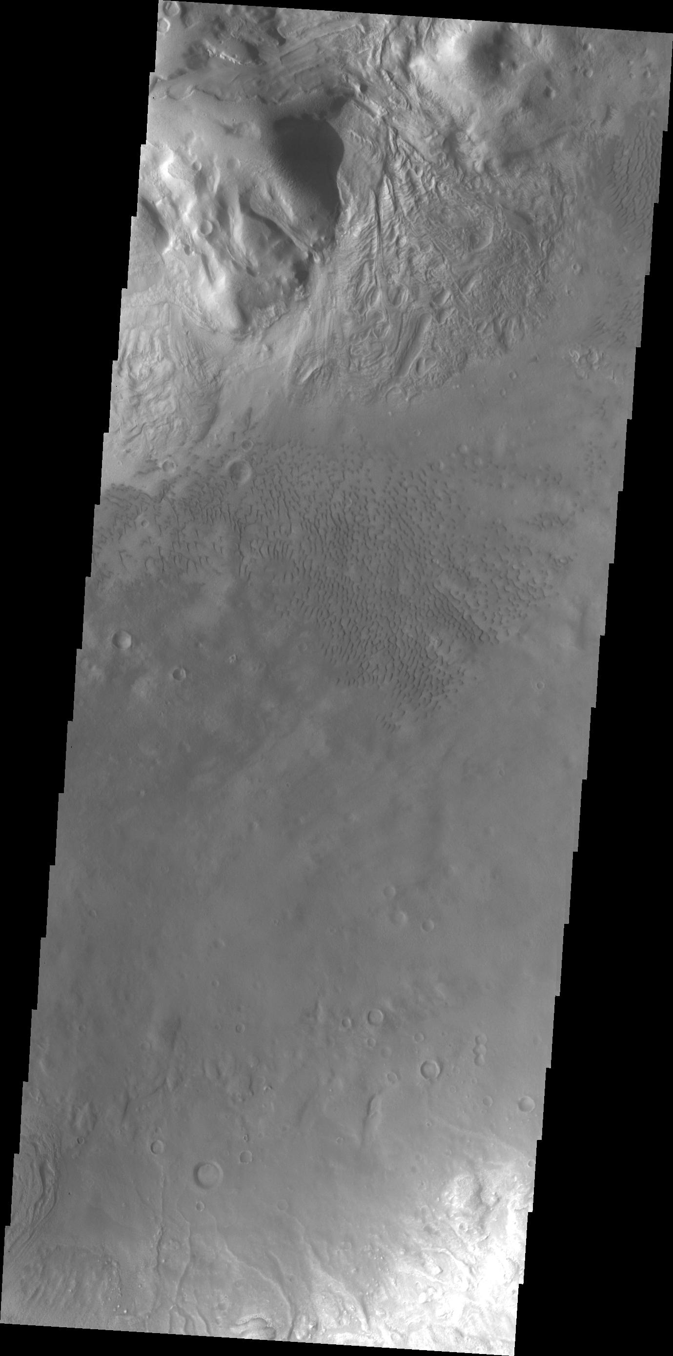
PIA13487:
Moreux Crater Dunes
Full Resolution:
TIFF
(3.838 MB)
JPEG
(244.8 kB)
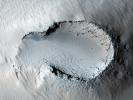
2010-10-14
Mars
Mars Reconnaissance Orbiter (MRO)
HiRISE
2560x1920x3
PIA13481:
Dunes in Herschel Crater
Full Resolution:
TIFF
(14.76 MB)
JPEG
(947.3 kB)
2010-10-14
Mars
2001 Mars Odyssey
THEMIS
1185x2880x1
PIA13489:
Storm Clouds
Full Resolution:
TIFF
(3.417 MB)
JPEG
(220.6 kB)
2010-10-15
Mars
Mars Reconnaissance Orbiter (MRO)
HiRISE
2560x1920x3
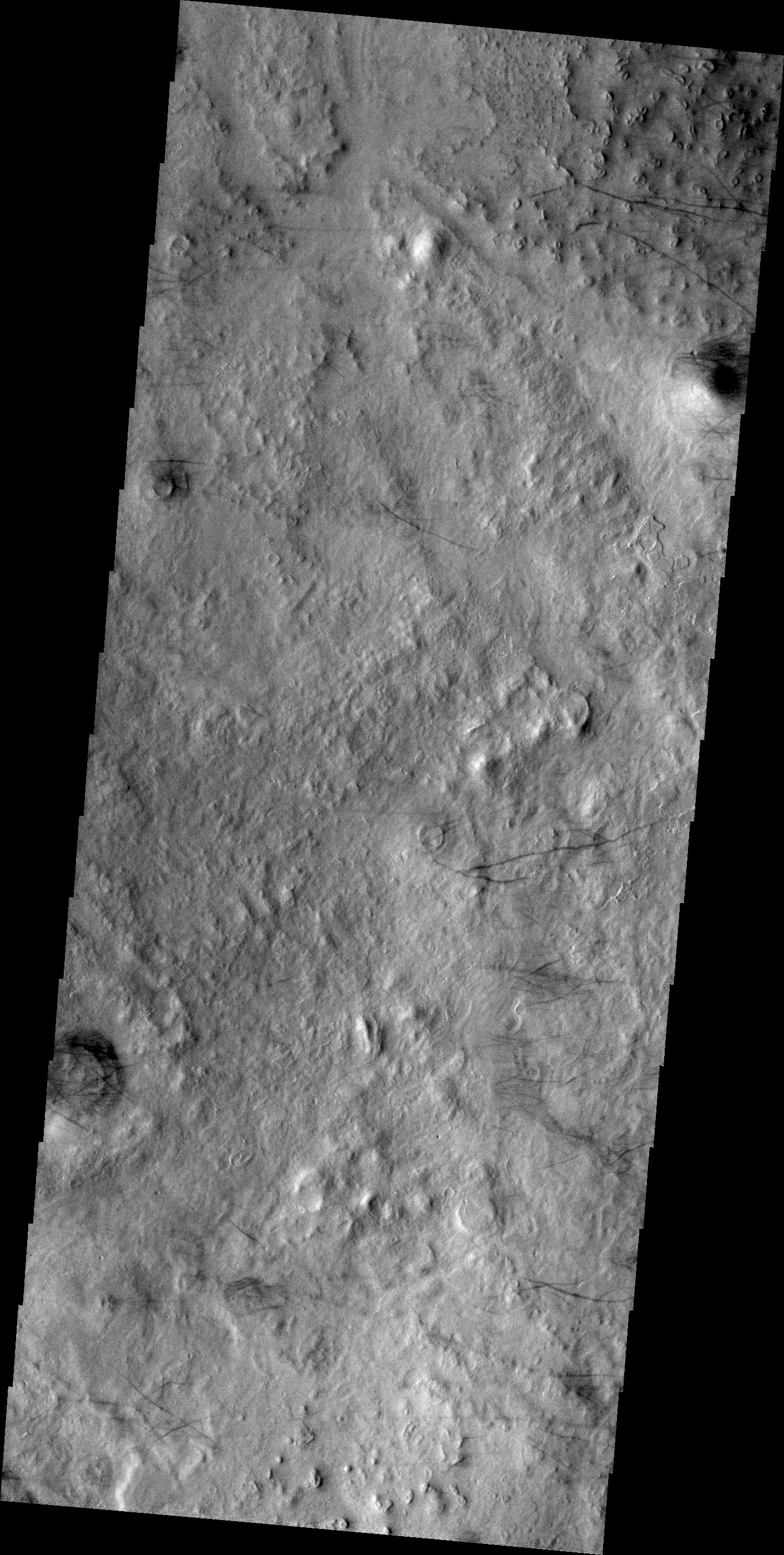
PIA13482:
Fractured Mounds in Elysium Planitia
Full Resolution:
TIFF
(14.76 MB)
JPEG
(1.177 MB)
2010-10-15
Mars
2001 Mars Odyssey
THEMIS
1336x2767x1
PIA13490:
Olympus Mons
Full Resolution:
TIFF
(3.701 MB)
JPEG
(317.7 kB)
2010-10-18
Mars
Mars Reconnaissance Orbiter (MRO)
HiRISE
2560x1920x3
PIA13483:
Lots of Layering in Becquerel Crater
Full Resolution:
TIFF
(14.76 MB)
JPEG
(1.026 MB)
2010-10-19
Mars
Mars Reconnaissance Orbiter (MRO)
HiRISE
2560x1920x3
PIA13484:
Flow Obstructions and Wakes Southeast of Elysium Planitia
Full Resolution:
TIFF
(14.76 MB)
JPEG
(1.413 MB)
2010-10-19
Mars
2001 Mars Odyssey
THEMIS
1341x2770x1
PIA13534:
Platy Flows
Full Resolution:
TIFF
(3.718 MB)
JPEG
(608.4 kB)
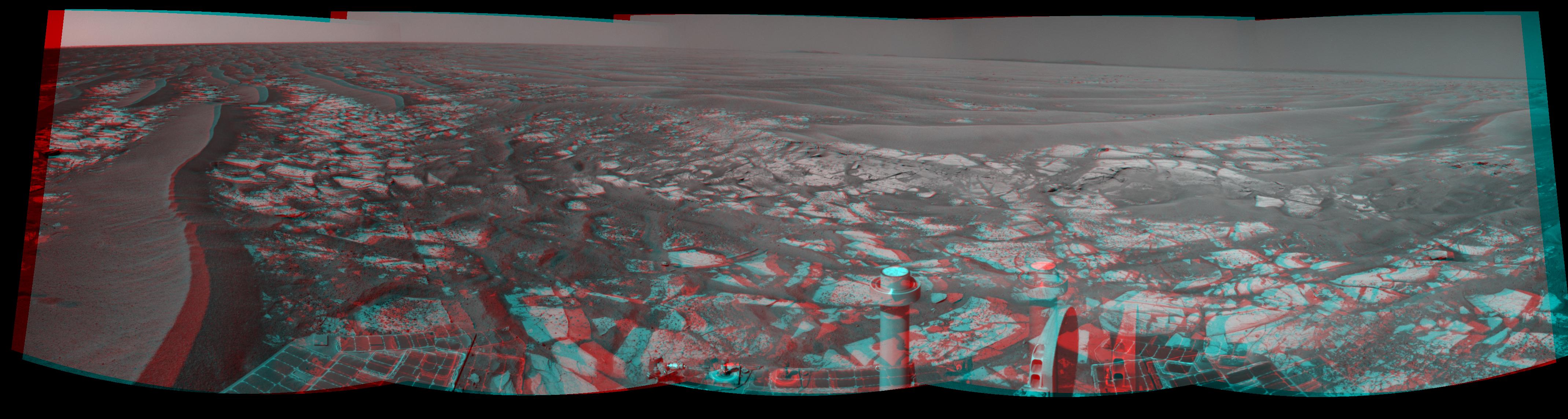
2010-10-19
Mars
Mars Exploration Rover (MER)
Navigation Camera
2719x1145x3
PIA13491:
Opportunity's Eastward View After Sol 2382 Drive (Stereo)
Full Resolution:
TIFF
(9.349 MB)
JPEG
(332.7 kB)
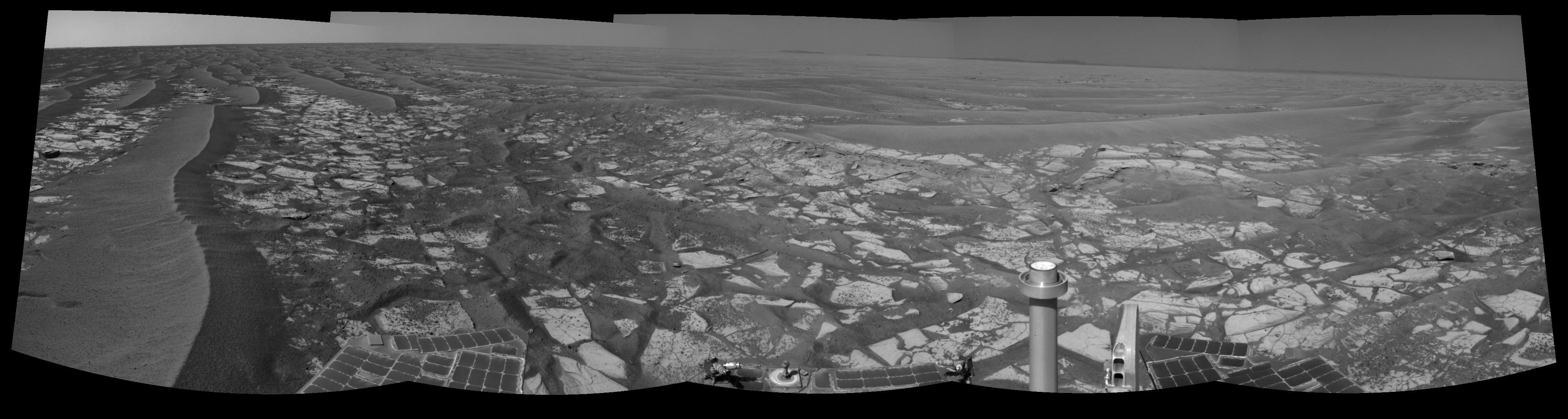
2010-10-19
Mars
Mars Exploration Rover (MER)
Navigation Camera
2719x1145x1
PIA13492:
Opportunity's Eastward View After Sol 2382 Drive
Full Resolution:
TIFF
(3.117 MB)
JPEG
(308.4 kB)
2010-10-20
Mars
2001 Mars Odyssey
THEMIS
1334x2770x1
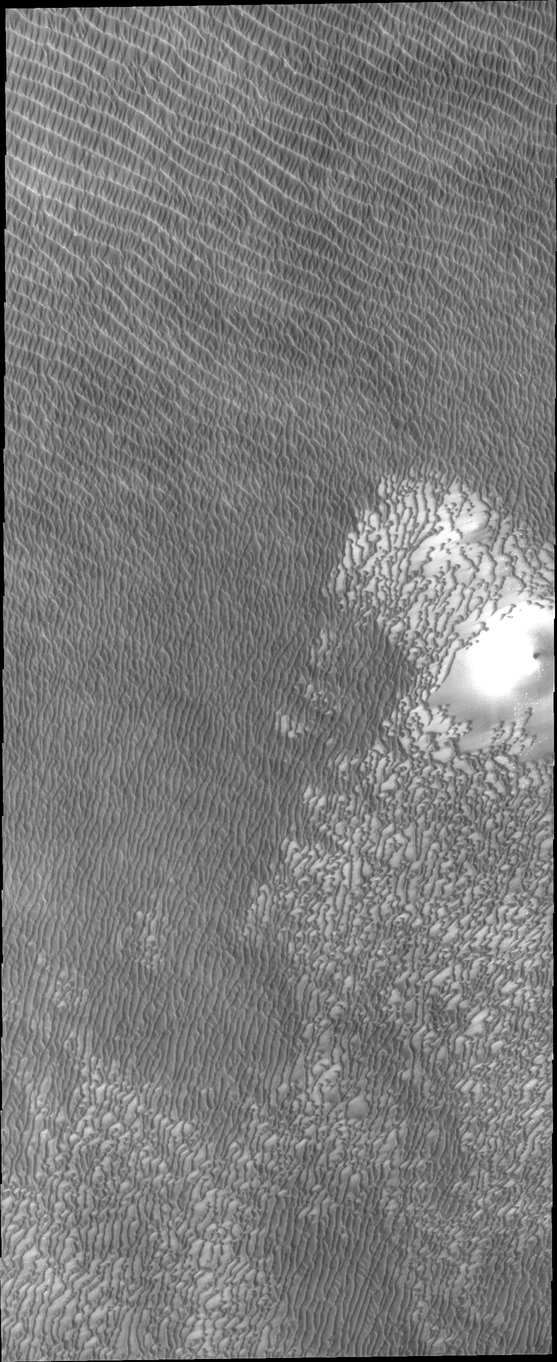
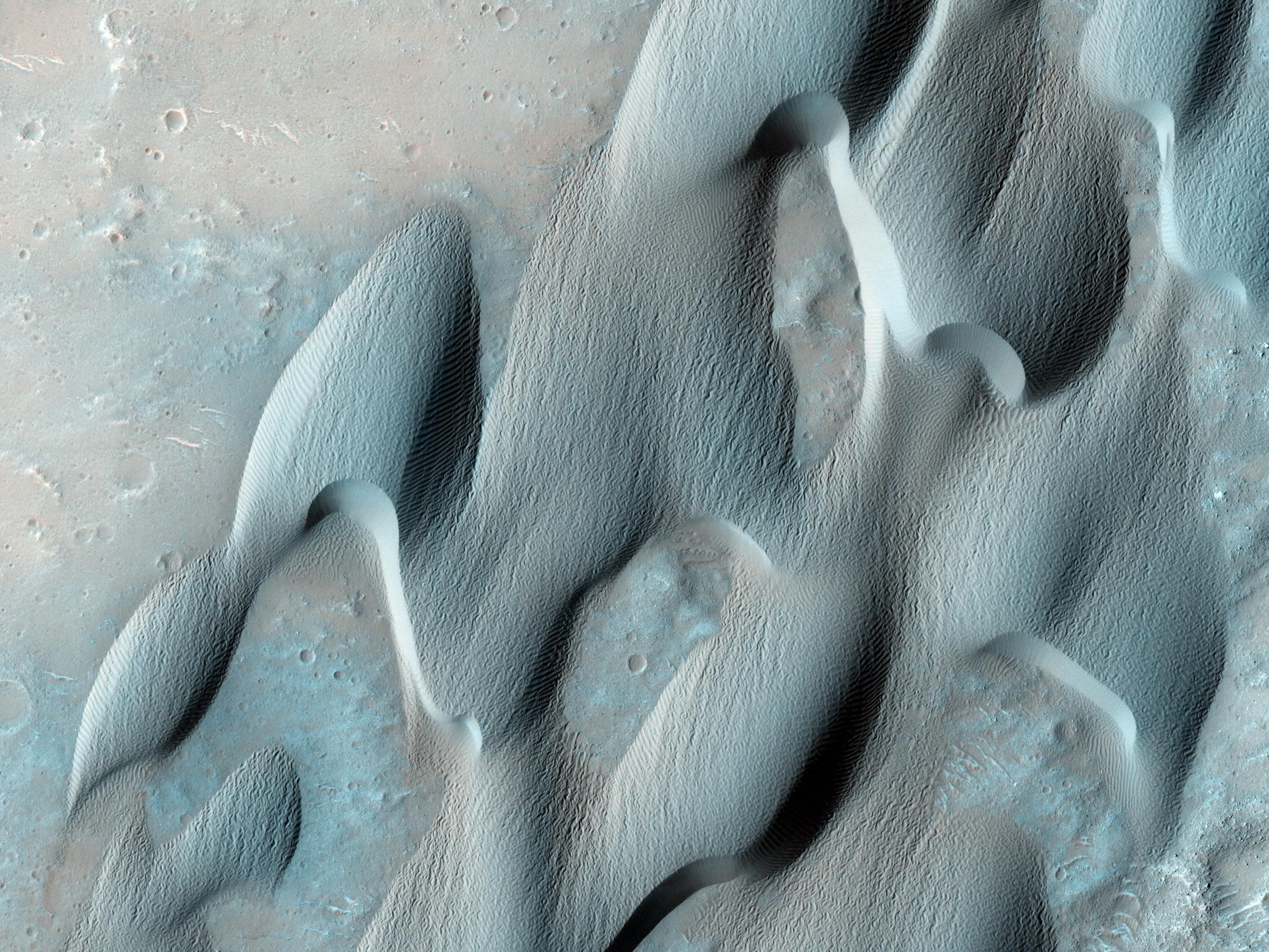
PIA13535:
Nili Patera Dunes
Full Resolution:
TIFF
(3.699 MB)
JPEG
(312.1 kB)
2010-10-21
Mars
Mars Reconnaissance Orbiter (MRO)
HiRISE
2560x1920x3
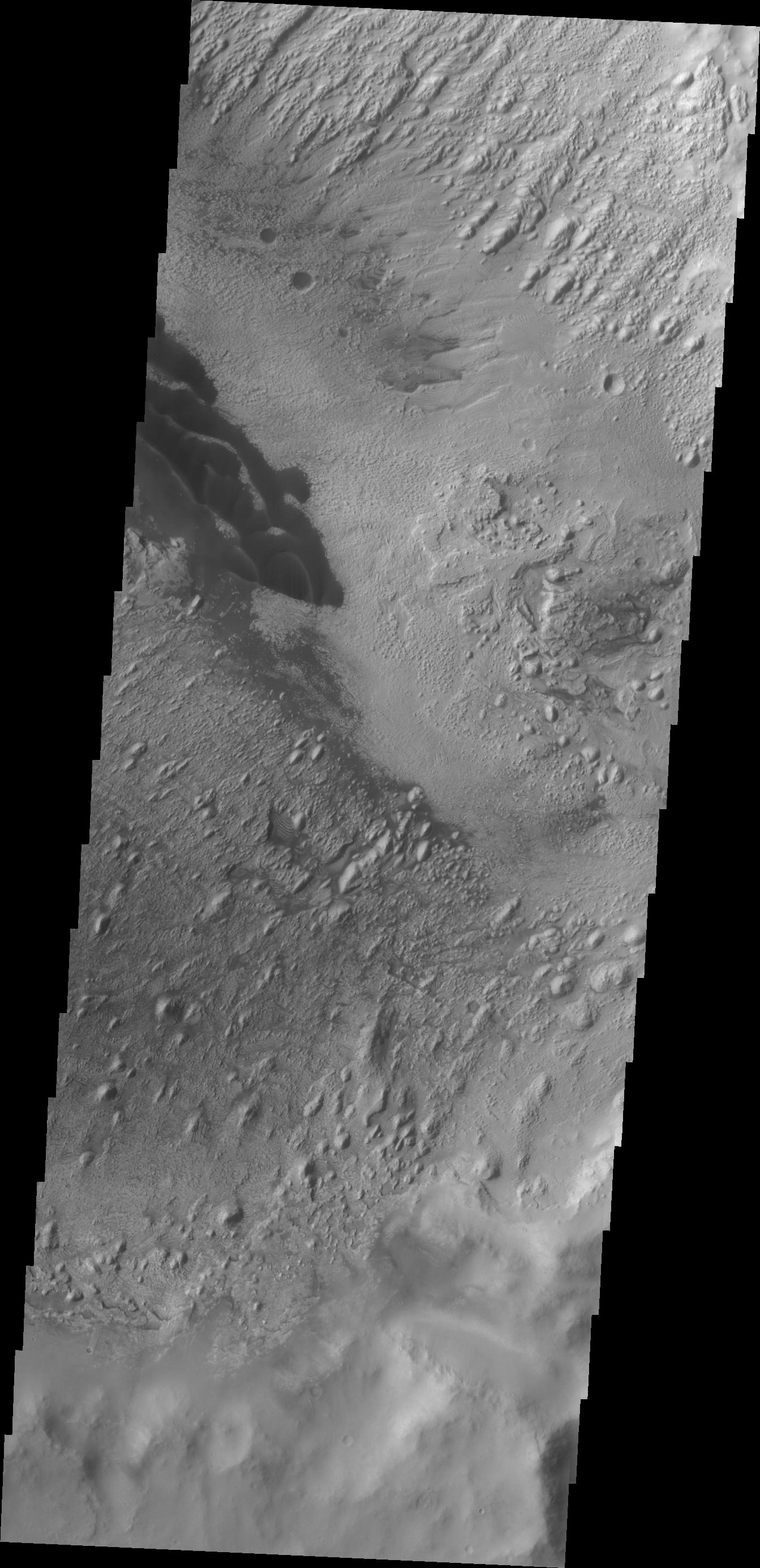
PIA13533:
Flood-Emplaced Blocks in Holden Crater
Full Resolution:
TIFF
(14.76 MB)
JPEG
(886.2 kB)
2010-10-22
Mars
2001 Mars Odyssey
THEMIS
1265x2174x1
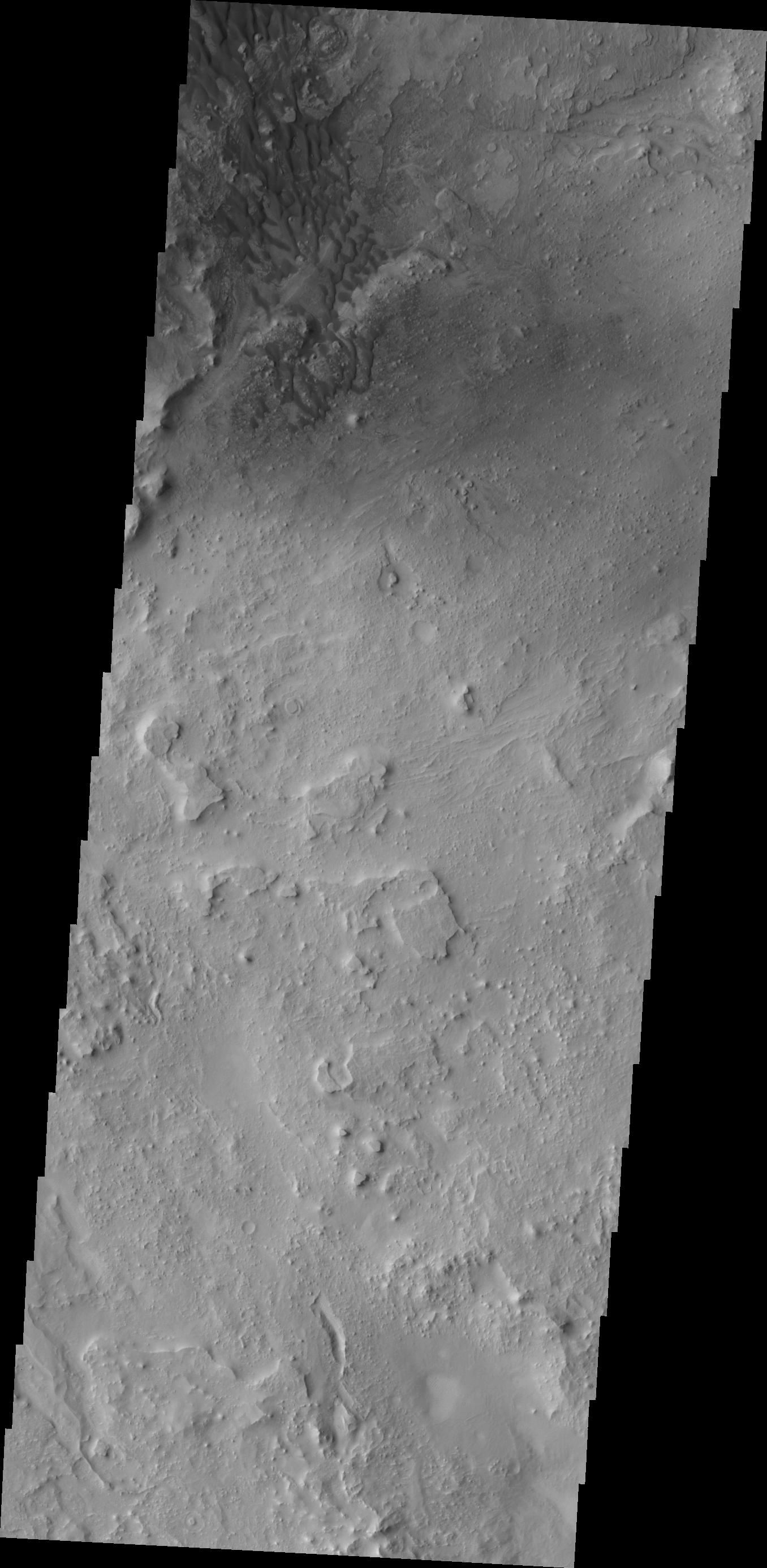
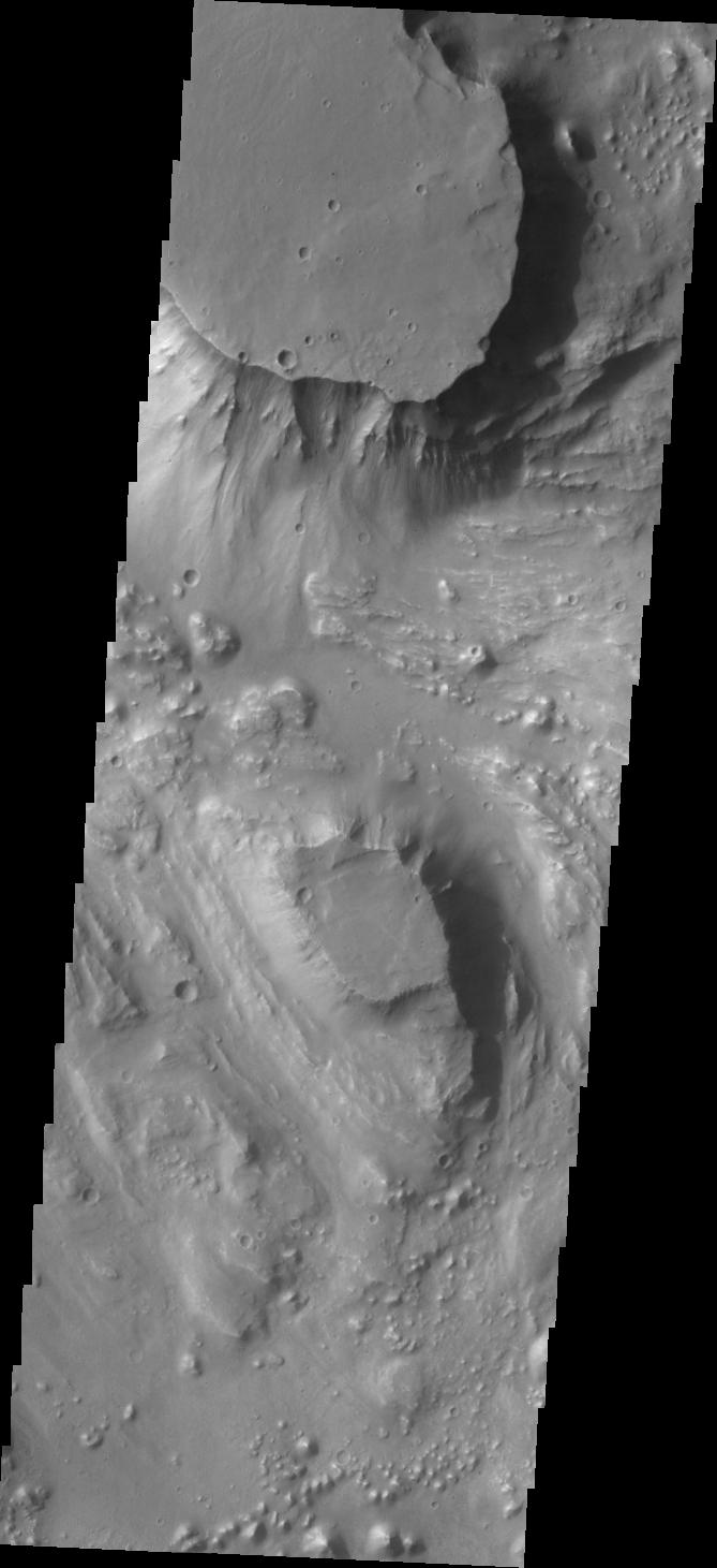
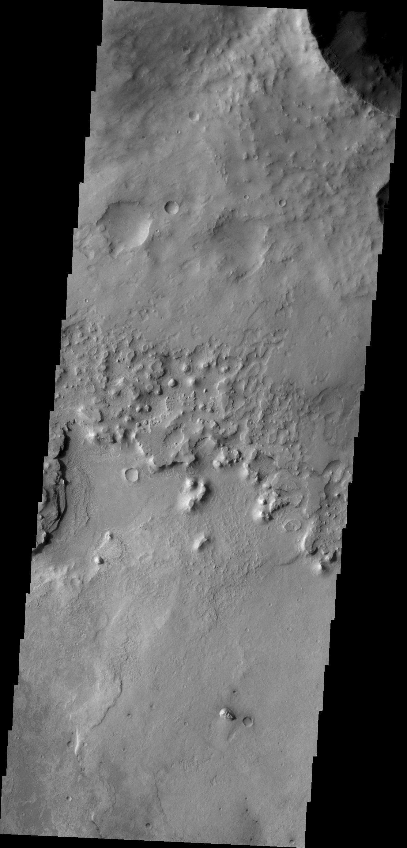
PIA13542:
Elysium Chasma
Full Resolution:
TIFF
(2.753 MB)
JPEG
(129.2 kB)
2010-10-22
Mars
Mars Reconnaissance Orbiter (MRO)
HiRISE
2560x1920x3
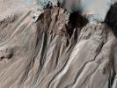
PIA13536:
Light-Toned Gully Materials on Hale Crater Wall
Full Resolution:
TIFF
(14.76 MB)
JPEG
(1.078 MB)
2010-10-23
Mars
2001 Mars Odyssey
THEMIS
1309x2766x1
PIA13541:
Ascraeus Mons
Full Resolution:
TIFF
(3.625 MB)
JPEG
(338.4 kB)
2010-10-23
Mars
Mars Reconnaissance Orbiter (MRO)
HiRISE
2560x1920x3
PIA13537:
Strengths of Materials in Ganges Mensa
Full Resolution:
TIFF
(14.76 MB)
JPEG
(1.115 MB)
2010-10-25
Mars
Mars Reconnaissance Orbiter (MRO)
HiRISE
2560x1920x3
PIA13538:
Southern Hemisphere Crater with Dune Field
Full Resolution:
TIFF
(14.76 MB)
JPEG
(1.1 MB)
2010-10-25
Mars
2001 Mars Odyssey
THEMIS
1331x2775x1
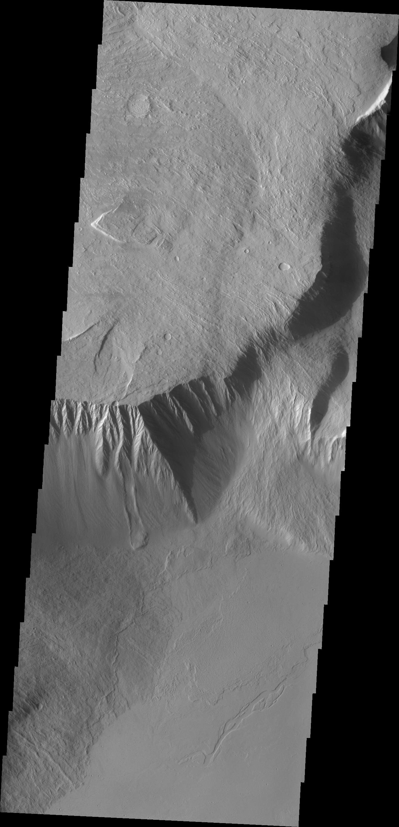
PIA13545:
Gale Crater Channels
Full Resolution:
TIFF
(3.697 MB)
JPEG
(242.5 kB)
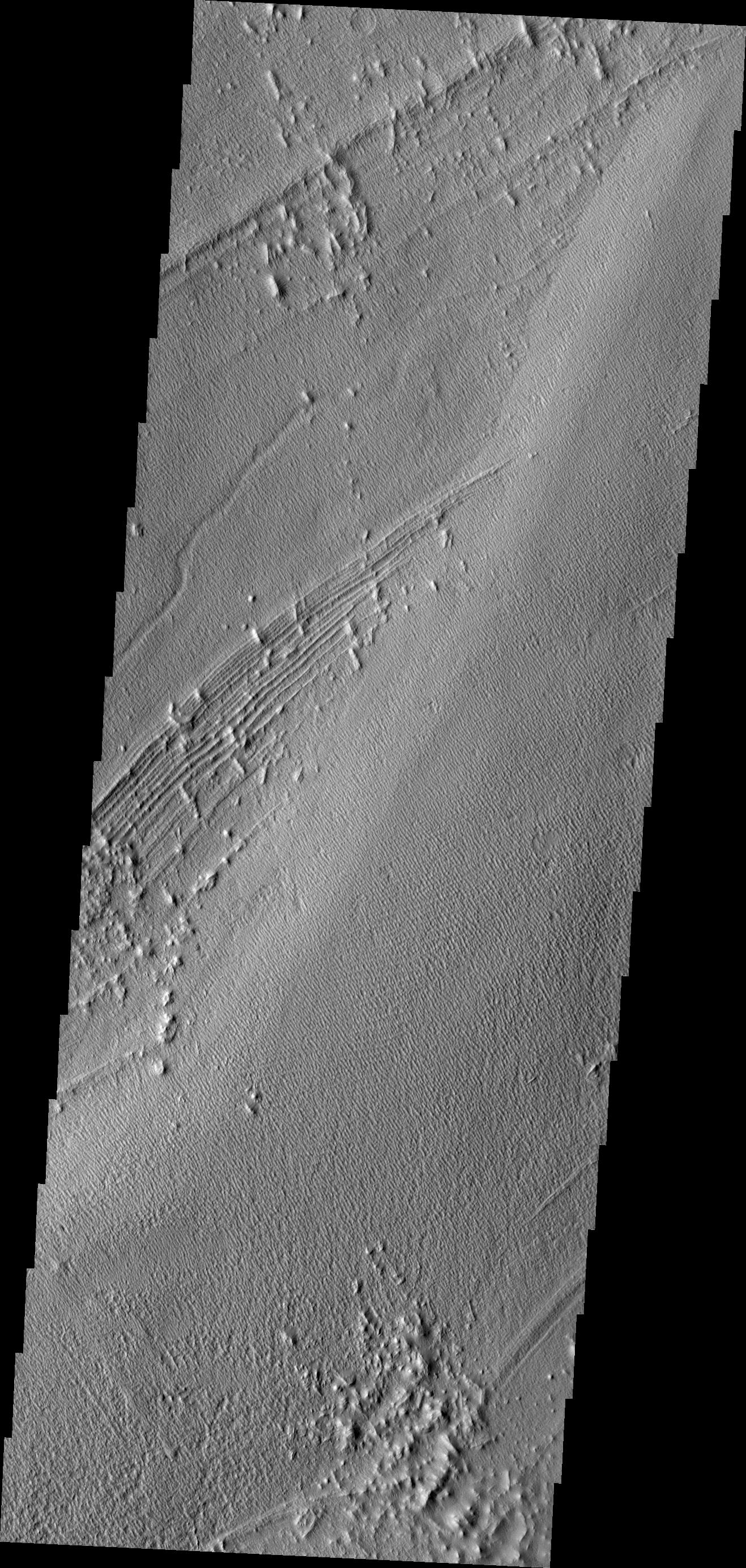
2010-10-26
Mars
2001 Mars Odyssey
THEMIS
1325x2771x1
PIA13549:
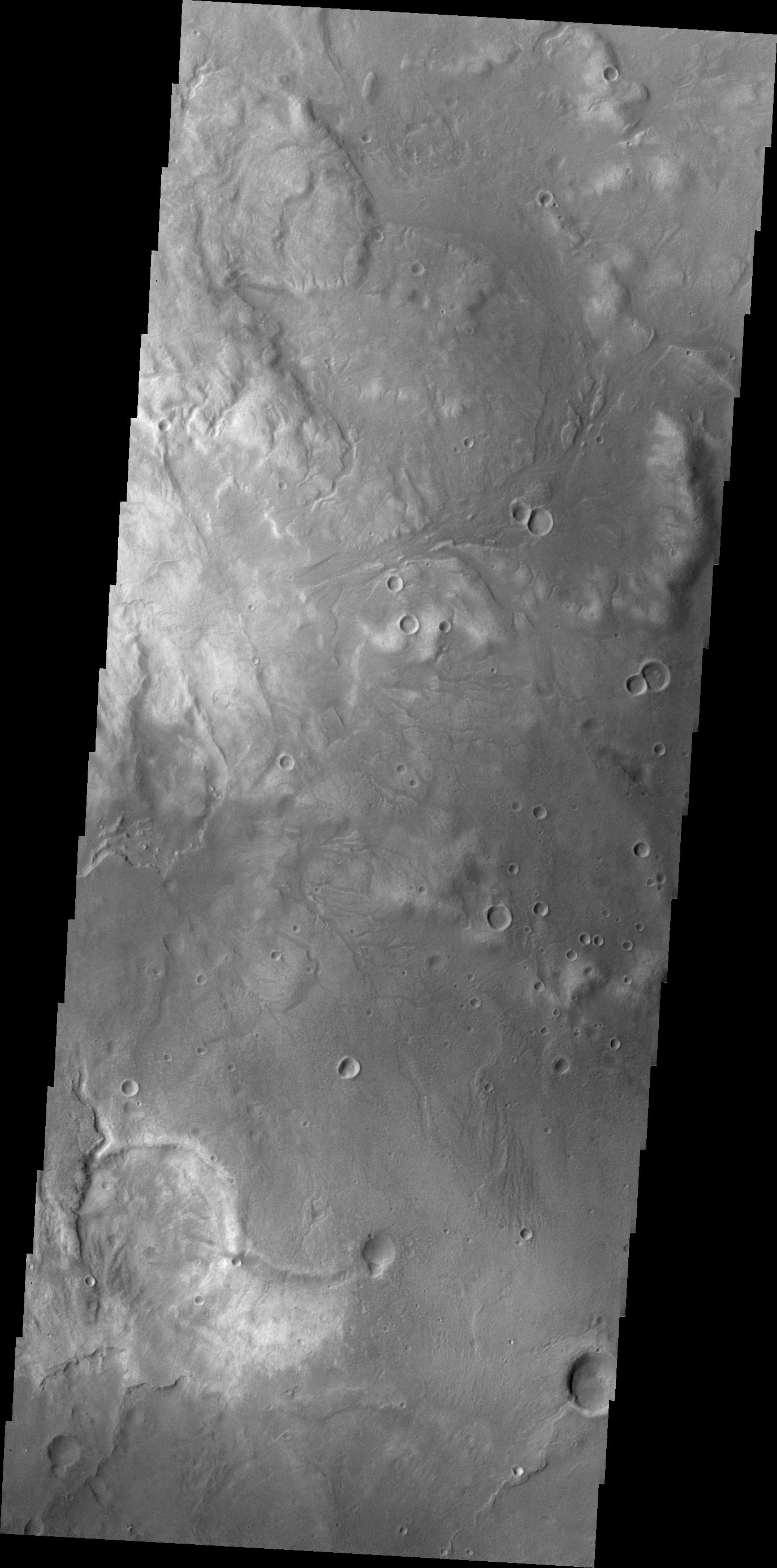
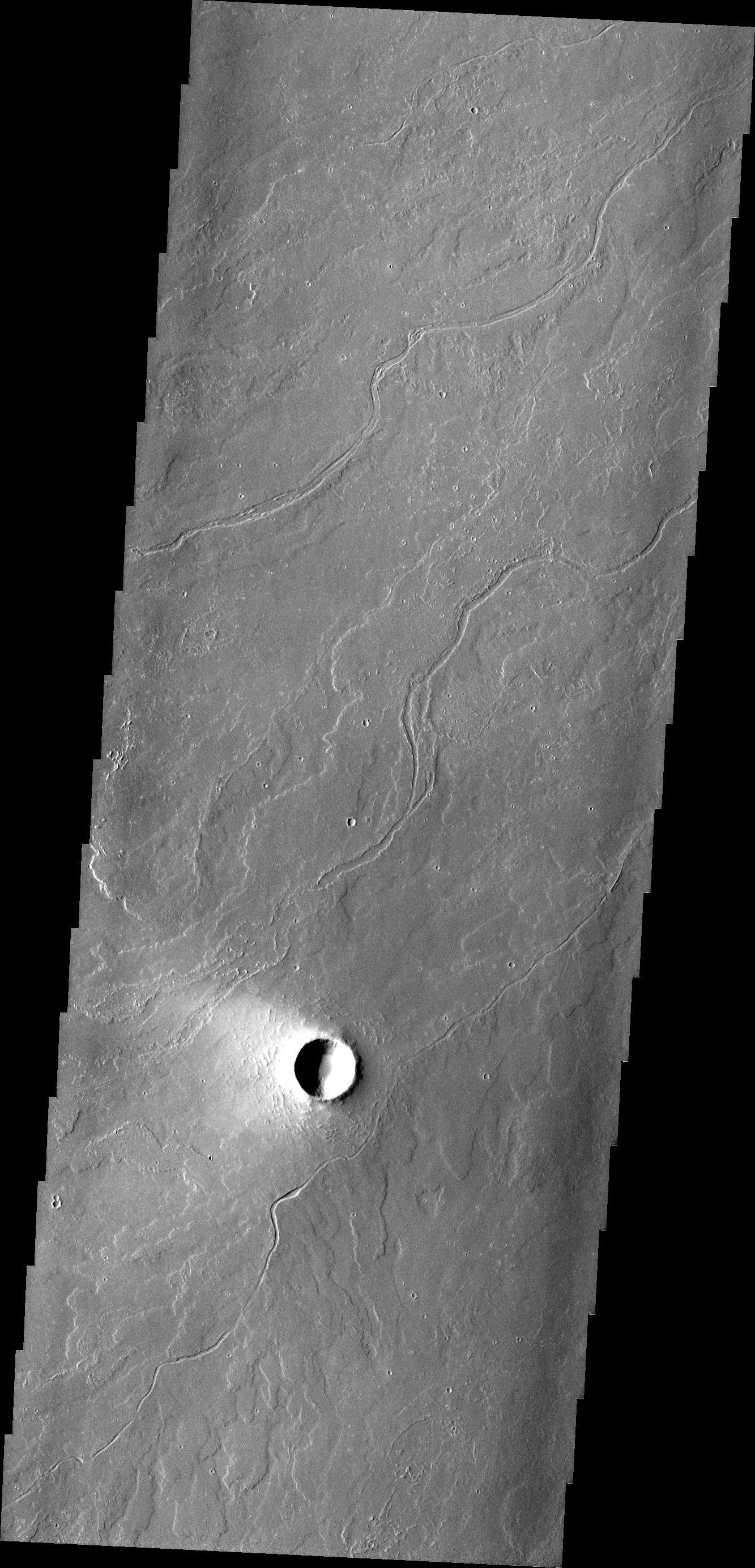
Naktong Vallis
Full Resolution:
TIFF
(3.676 MB)
JPEG
(335.4 kB)
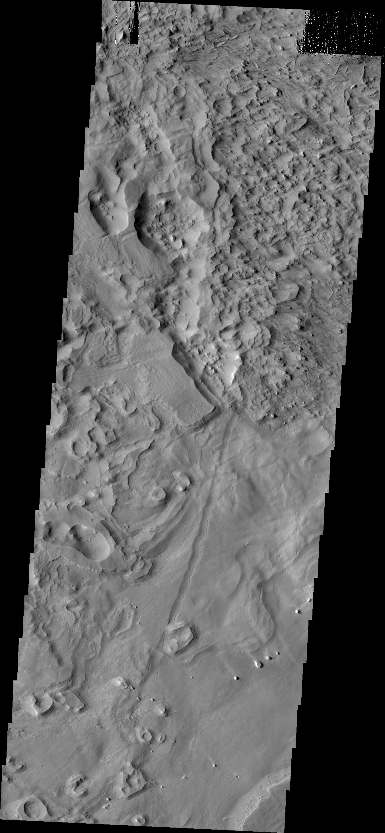
2010-10-27
Mars
Mars Reconnaissance Orbiter (MRO)
HiRISE
2560x1920x3
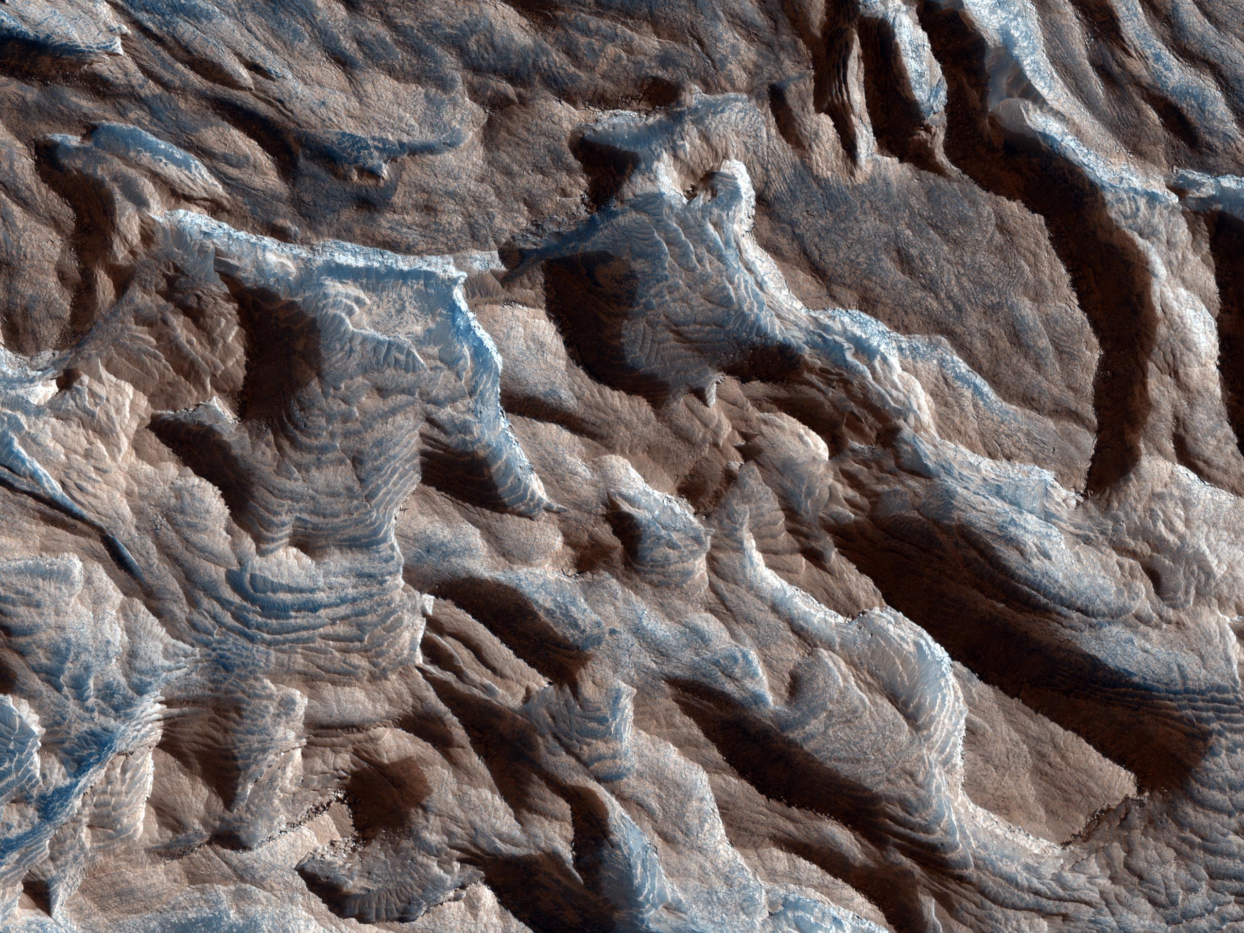
PIA13539:
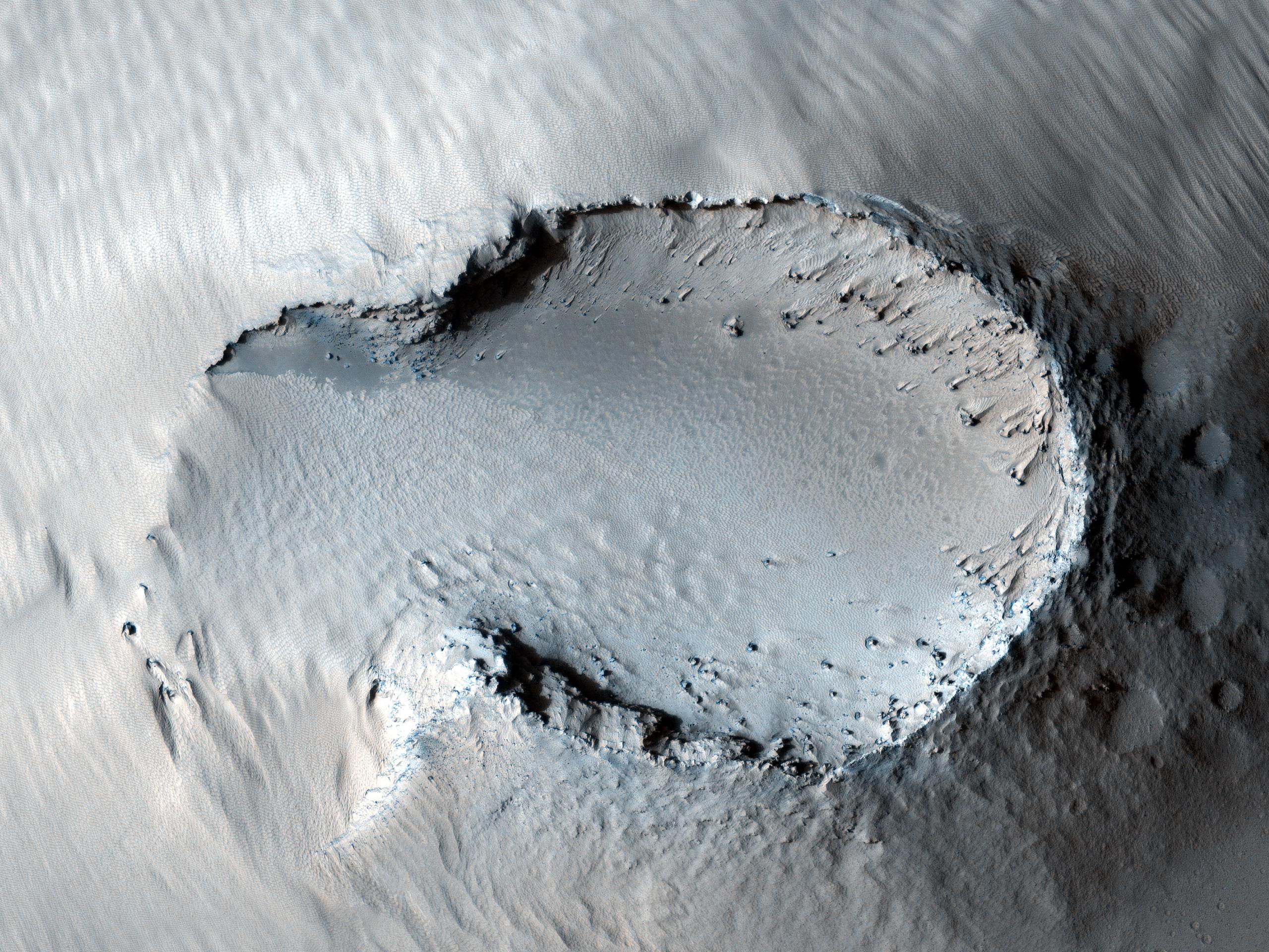
Russell Crater Dunes, Defrosted
Full Resolution:
TIFF
(14.76 MB)
JPEG
(1.303 MB)
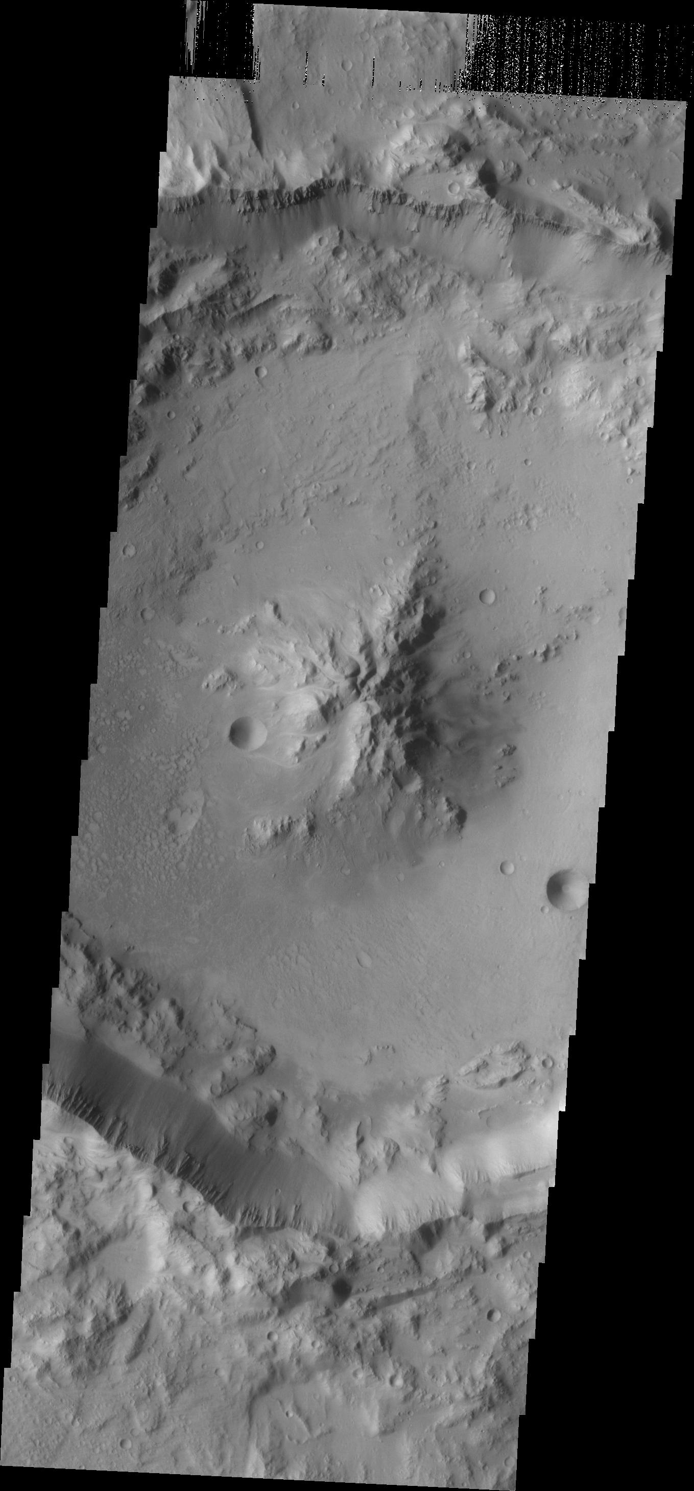
2010-10-27
Mars
2001 Mars Odyssey
THEMIS
1351x2771x1
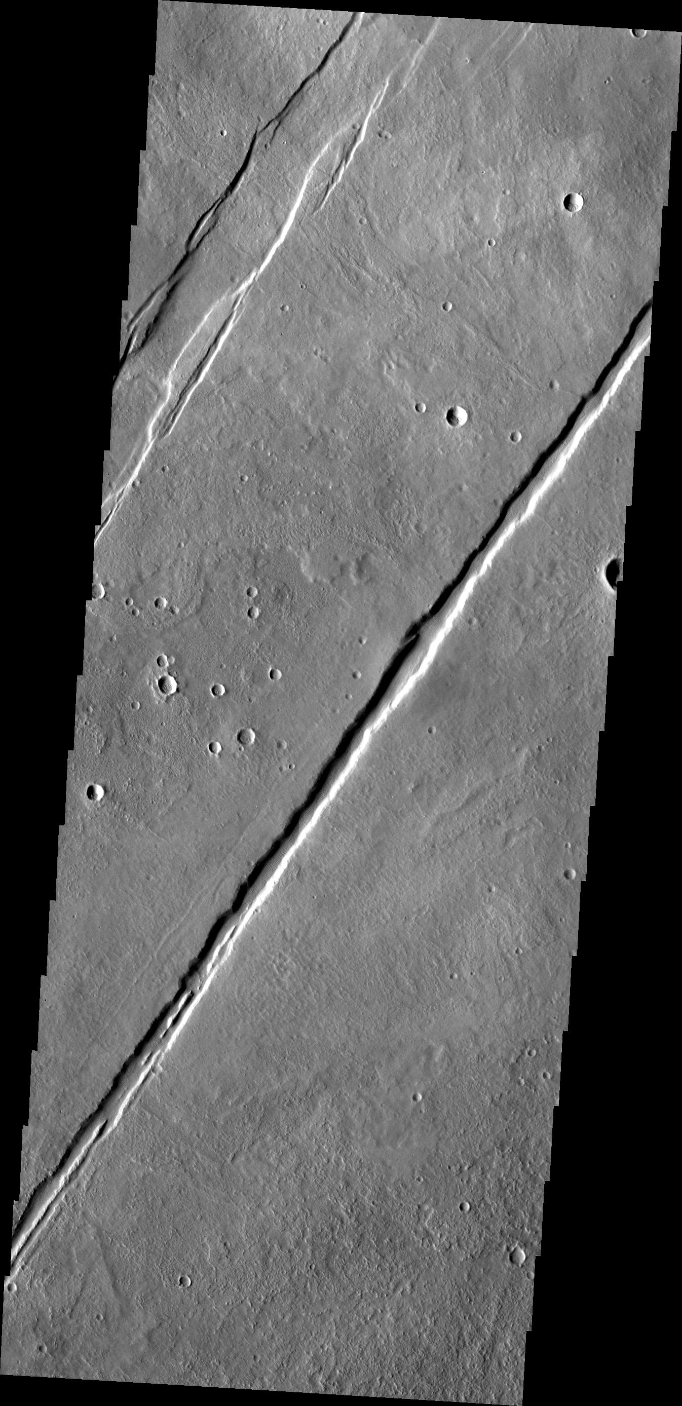
PIA13550:
Kasei Valles Fractures
Full Resolution:
TIFF
(3.748 MB)
JPEG
(190.6 kB)
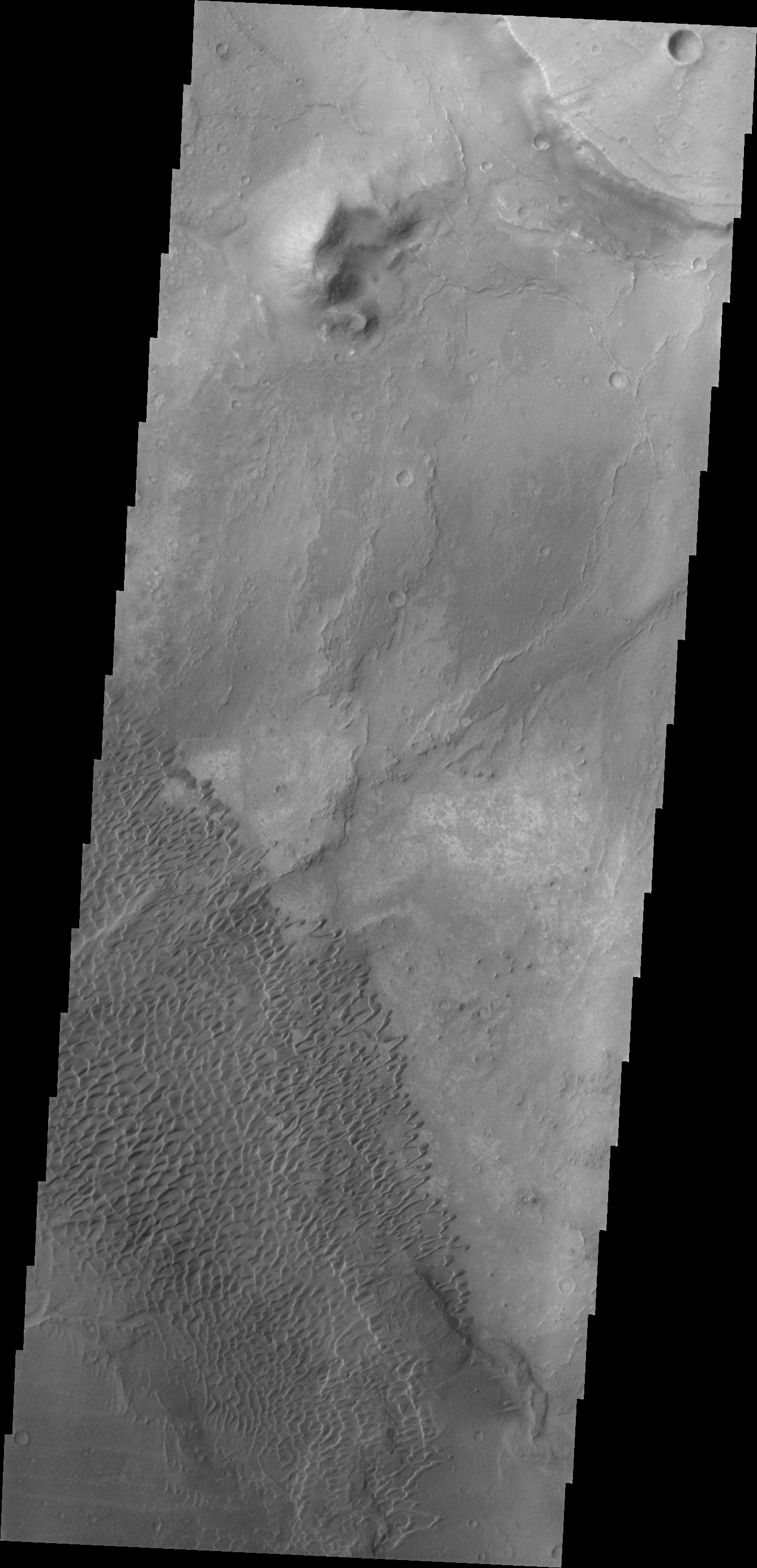
2010-10-28
Mars
Mars Exploration Rover (MER)
Panoramic Camera
2788x4096x3
PIA13543:
Soil Disturbed by Spirit Drives Before Fourth Martian Winter (False Color)
Full Resolution:
TIFF
(34.26 MB)
JPEG
(1.457 MB)
2010-10-28
Mars
Mars Reconnaissance Orbiter (MRO)
HiRISE
2560x1920x3
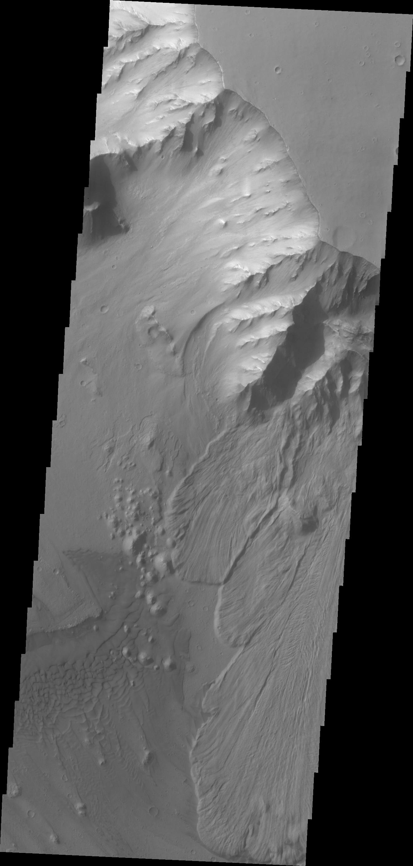
PIA13540:
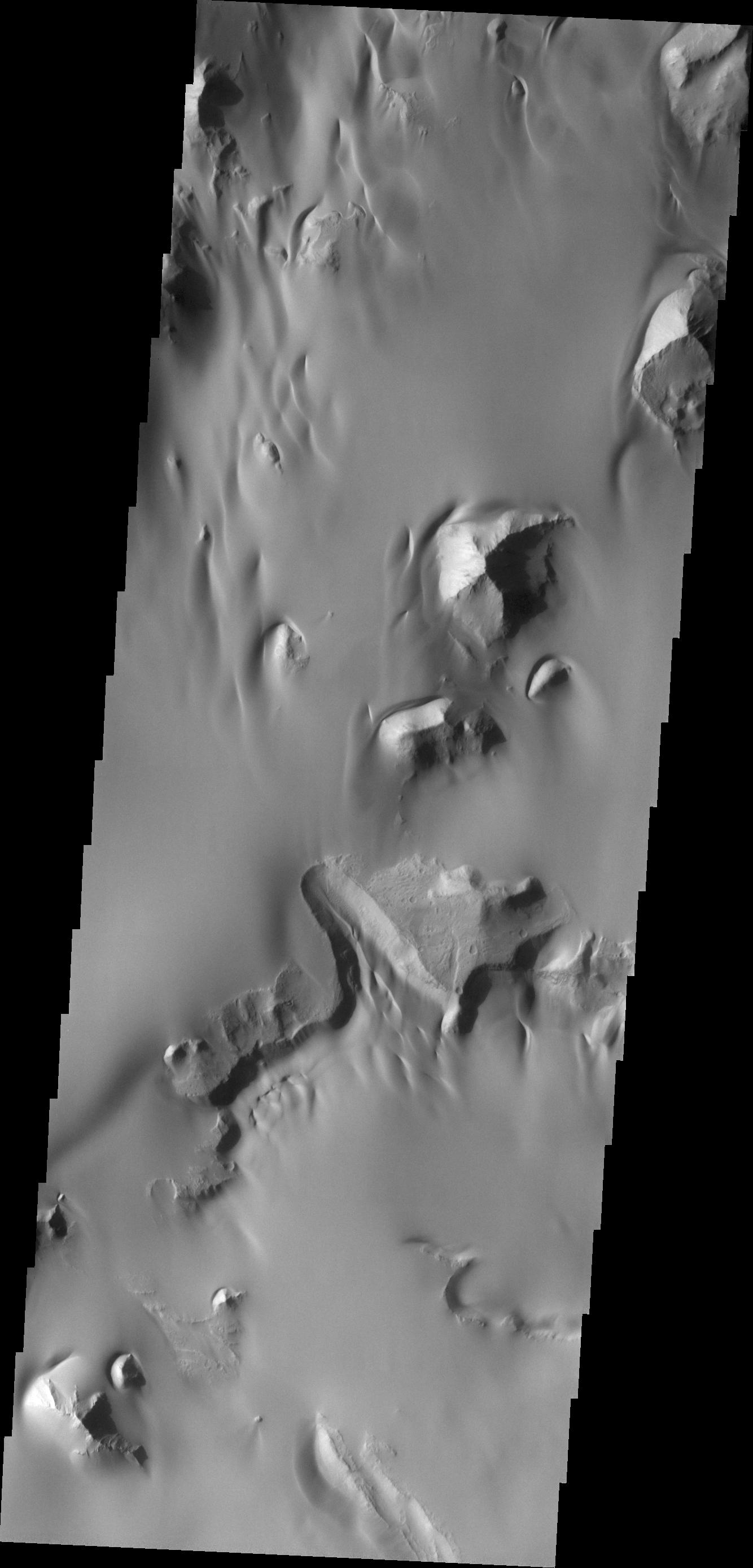
Layers in Arsia Mons Volcano
Full Resolution:
TIFF
(14.76 MB)
JPEG
(1.504 MB)
2010-10-29
Mars
2001 Mars Odyssey
THEMIS
1166x2820x1
PIA13552:
Northern Dunes
Full Resolution:
TIFF
(3.292 MB)
JPEG
(180.9 kB)
2010-10-29
Mars
Mars Reconnaissance Orbiter (MRO)
HiRISE
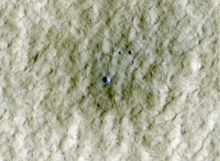
724x945x1
PIA13544:
Gully Changes on Martian Sand Dune
Full Resolution:
TIFF
(685.1 kB)
JPEG
(132.2 kB)
2010-10-29
Mars
2001 Mars Odyssey
THEMIS
1351x2918x1
PIA13553:
Dark Slope Streaks
Full Resolution:
TIFF
(3.946 MB)
JPEG
(279.3 kB)
2010-10-31
Mars
Mars Reconnaissance Orbiter (MRO)
CRISM
CTX
1472x874x3
PIA13556:
Mars Volcanic Cone with Hydrothermal Deposits
Full Resolution:
TIFF
(3.867 MB)
JPEG
(193.8 kB)
2010-11-01
Mars
2001 Mars Odyssey
THEMIS
1359x2773x1
PIA13554:
Highland Margin
Full Resolution:
TIFF
(3.772 MB)
JPEG
(357.9 kB)
2010-11-02
Mars
2001 Mars Odyssey
THEMIS
1343x2768x1
PIA13555:
Rhabon Vallis
Full Resolution:
TIFF
(3.721 MB)
JPEG
(479.2 kB)
2010-11-03
Mars
2001 Mars Odyssey
THEMIS
1331x2768x1
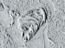
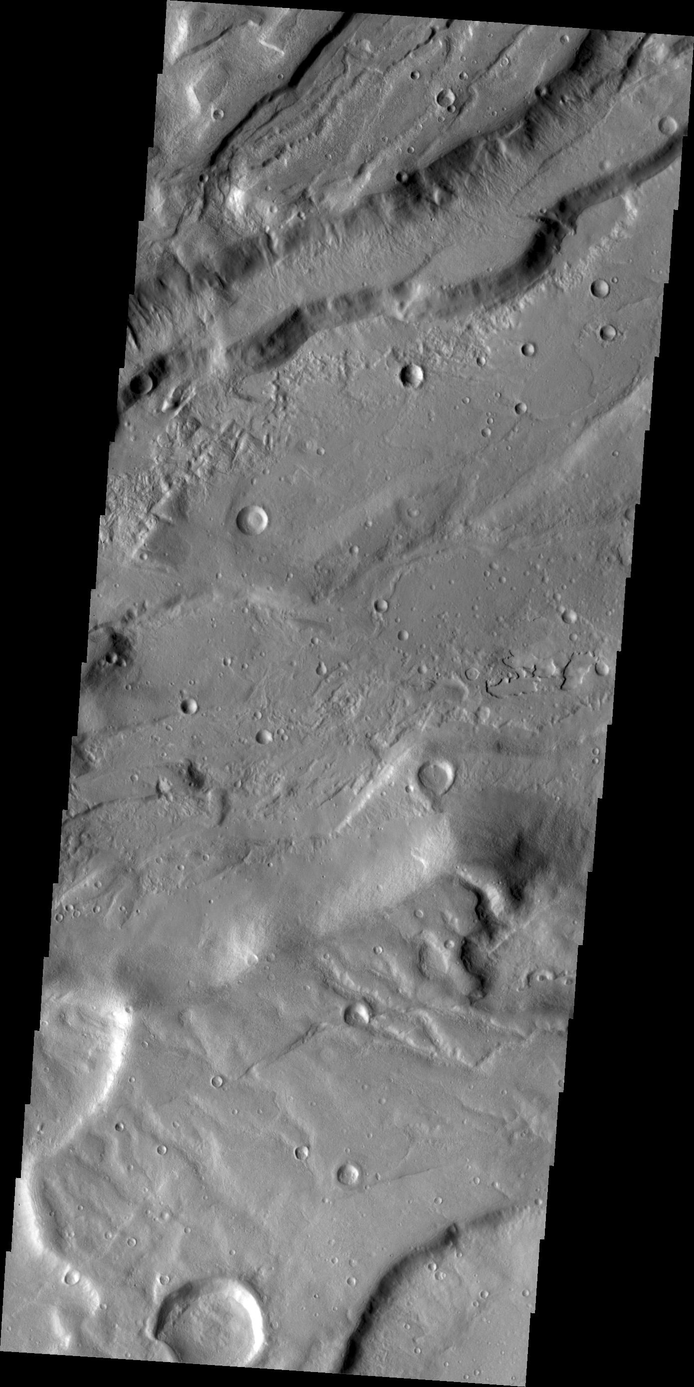
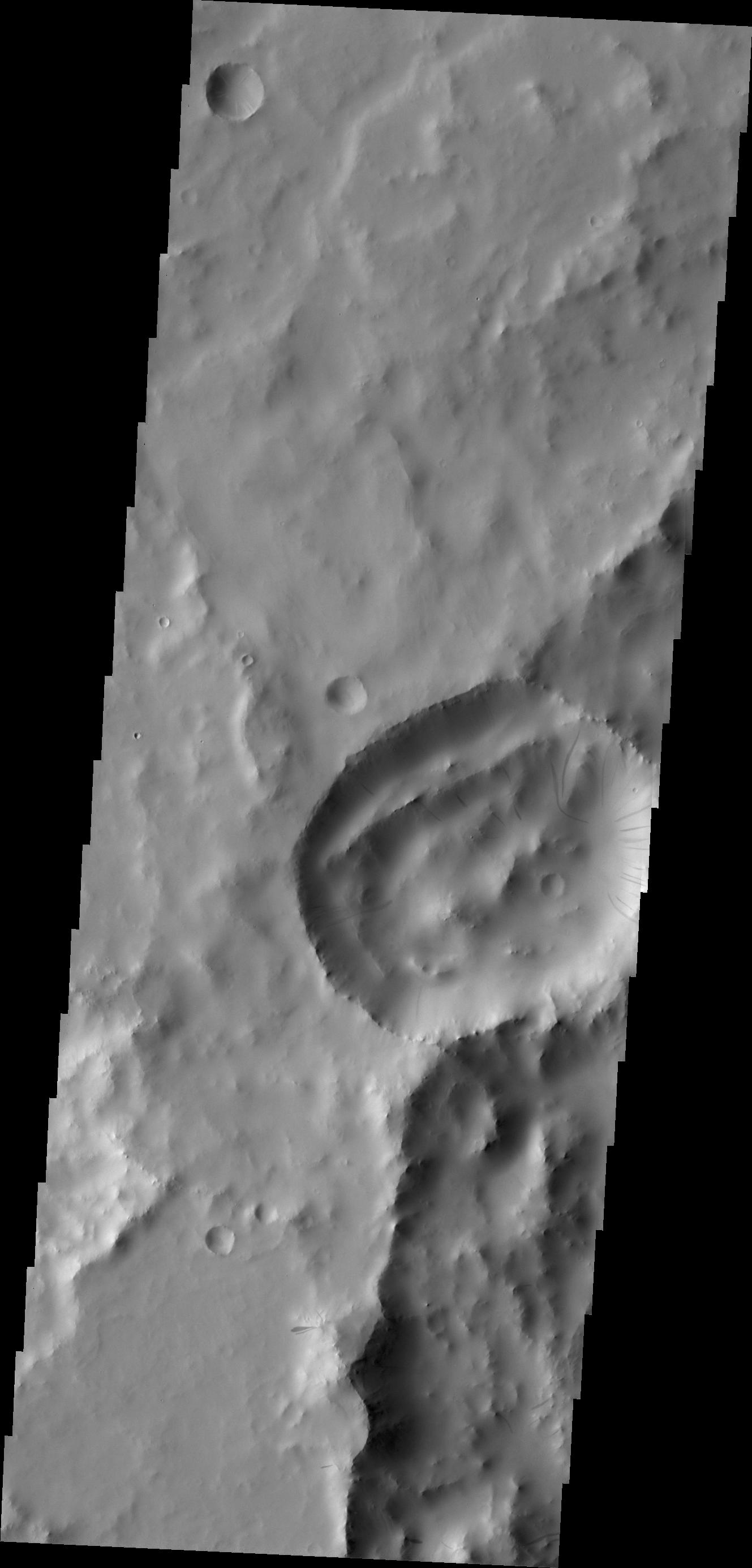
PIA13232:
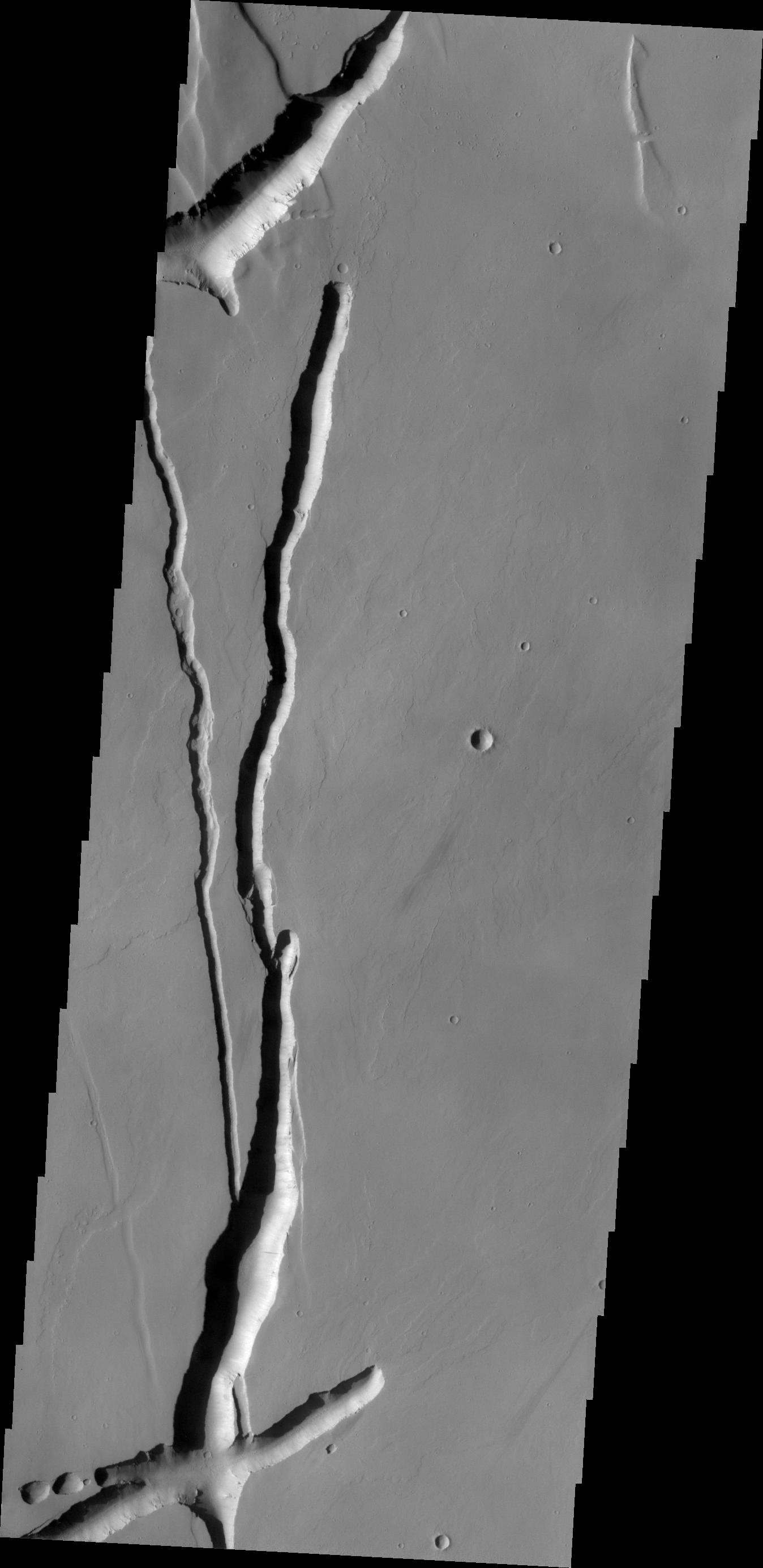
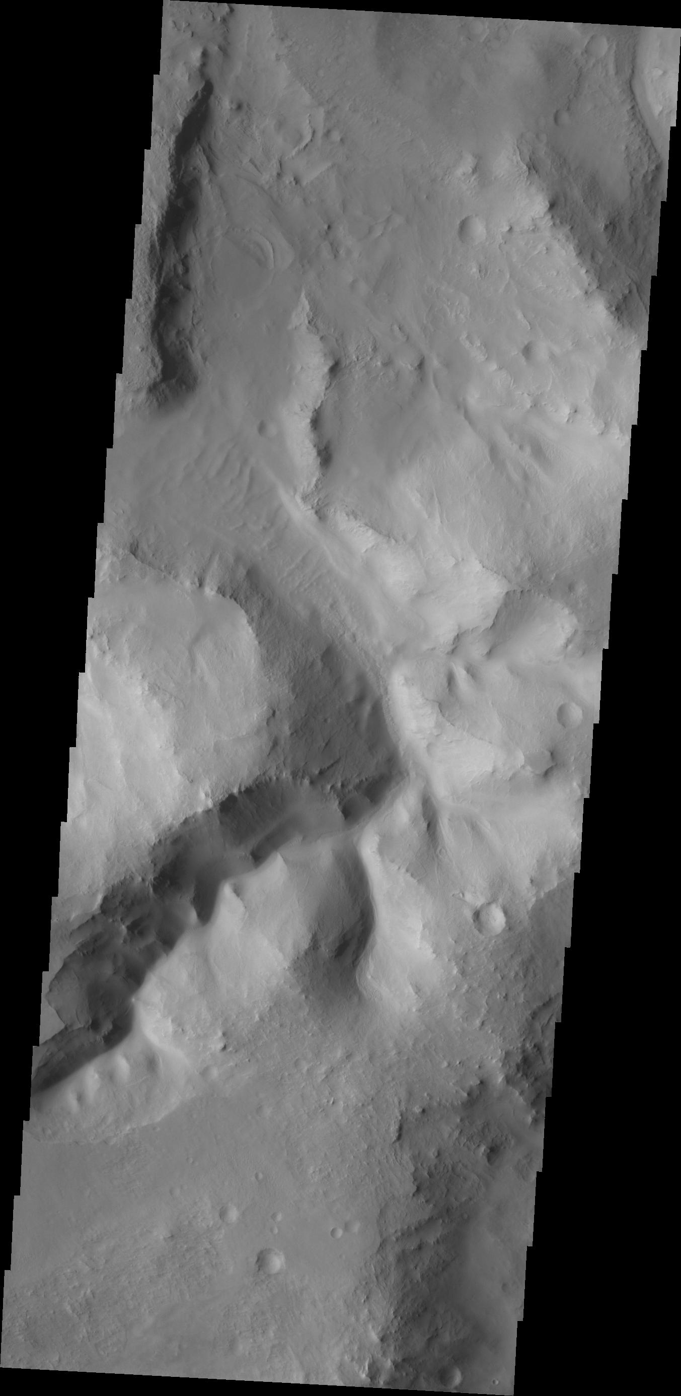
Ulysses Fossae
Full Resolution:
TIFF
(3.688 MB)
JPEG
(351.9 kB)
1-100
101-200
201-300
301-400
401-500
501-600
601-700
701-800
801-900
901-1000
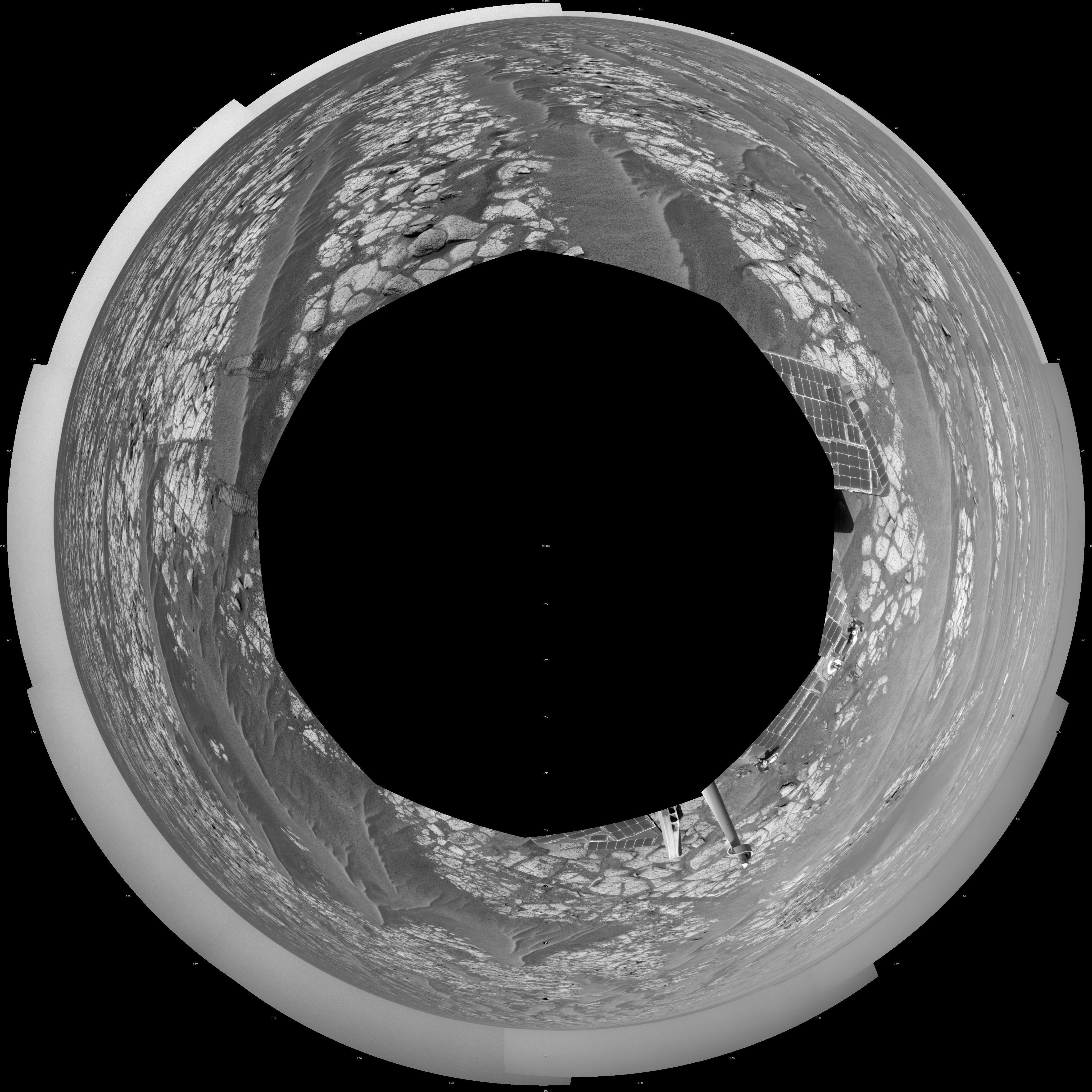
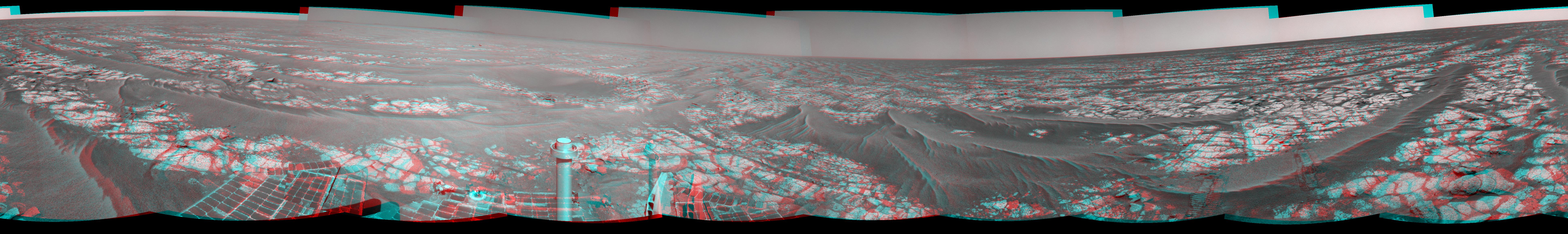
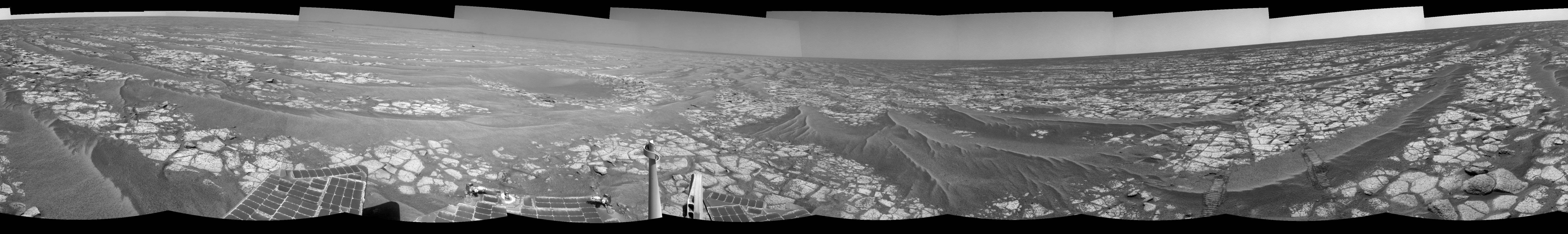
Currently displaying images:
6601 - 6700
of 12755


