My
List |
Addition Date
|
Target
|
Mission
|
Instrument
|
Size
|

|
2012-08-27 |
Mars
|
Mars Science Laboratory (MSL)
|
|
1024x1024x1 |
|
-
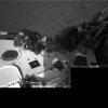
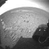
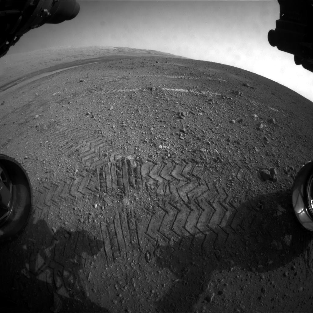
PIA16108:
-
Evidence of Curiosity's Second Drive
Full Resolution:
TIFF
(1.05 MB)
JPEG
(89.13 kB)
|
|
|
2012-08-27 |
Mars
|
Mars Science Laboratory (MSL)
|
|
1024x1024x1 |
|
-
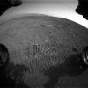
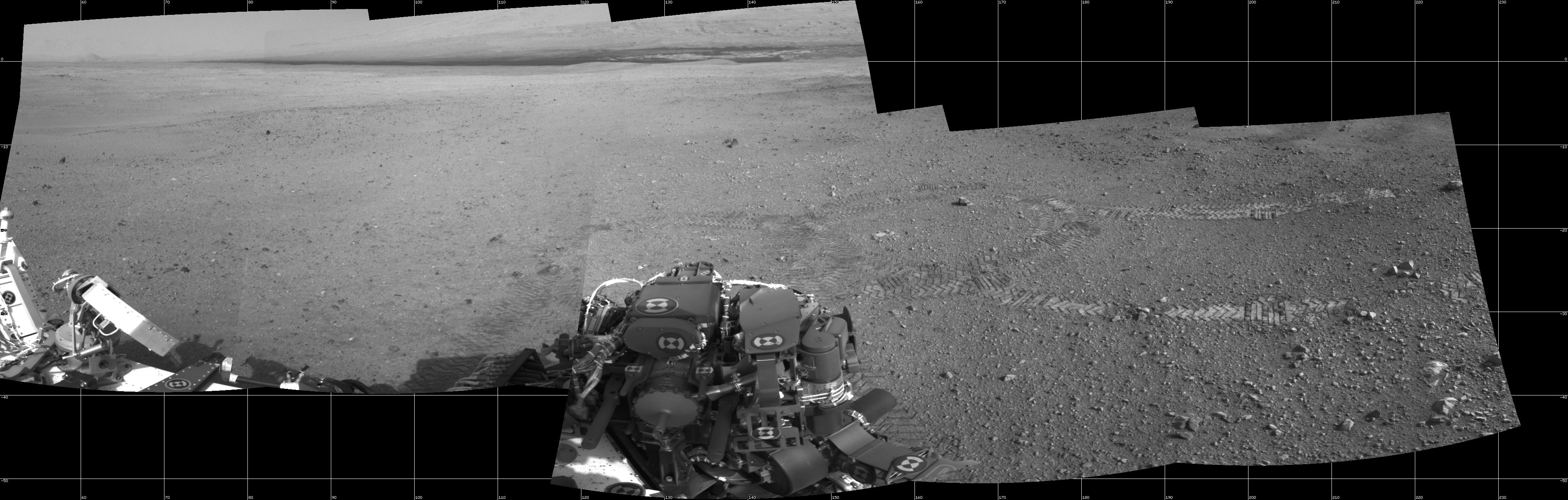
PIA16109:
-
Big Wheels Keep on Rollin'
Full Resolution:
TIFF
(1.05 MB)
JPEG
(133.4 kB)
|
|
|
2012-08-27 |
Mars
|
Mars Science Laboratory (MSL)
|
|
4024x1282x1 |

|
-
PIA16110:
-
From Infinity and Beyond
Full Resolution:
TIFF
(5.164 MB)
JPEG
(628.4 kB)
|
|
|
2012-08-29 |
Mars
|
Mars Science Laboratory (MSL)
|
|
1024x1024x1 |
|
-
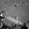
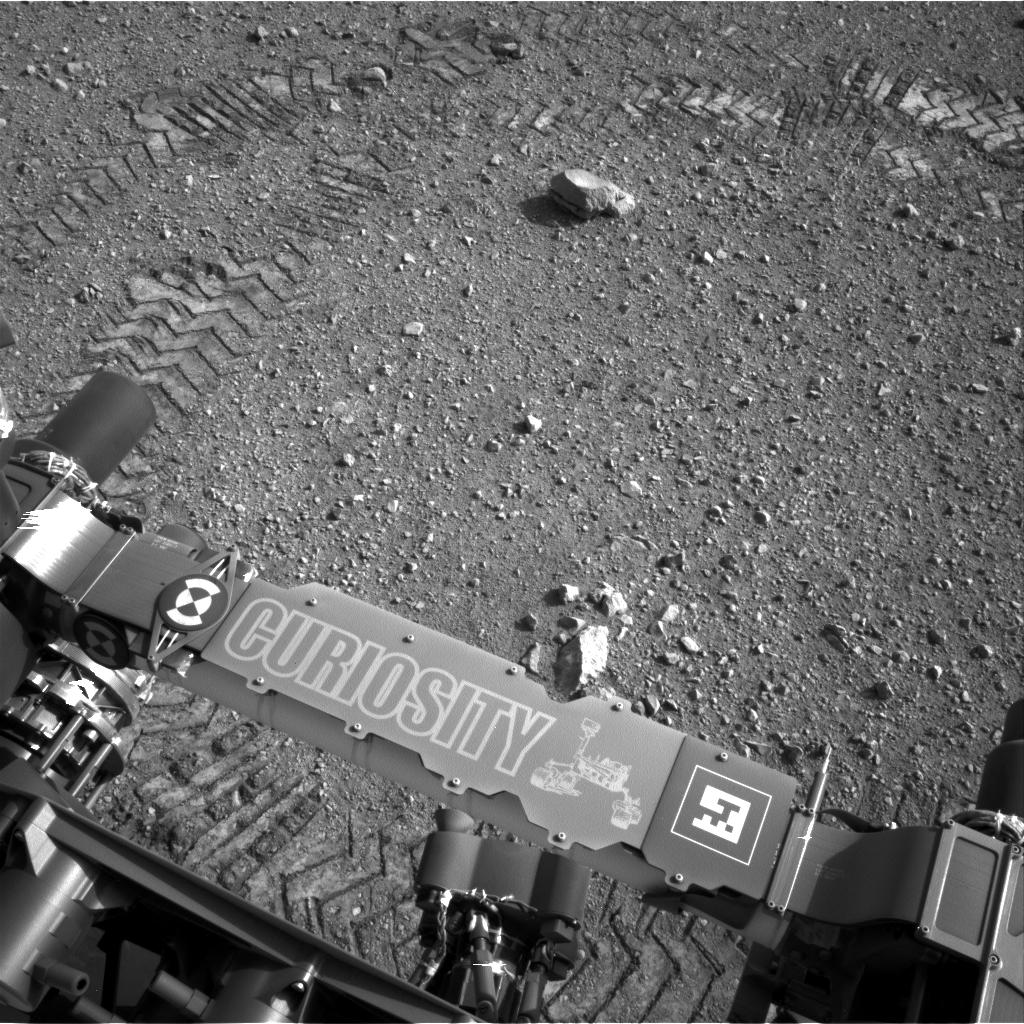
PIA16093:
-
Curiosity Leaves Its Mark
Full Resolution:
TIFF
(1.05 MB)
JPEG
(245.6 kB)
|
|
|
2012-08-29 |
Mars
|
Mars Science Laboratory (MSL)
|
|
1024x1024x1 |
|
-
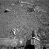
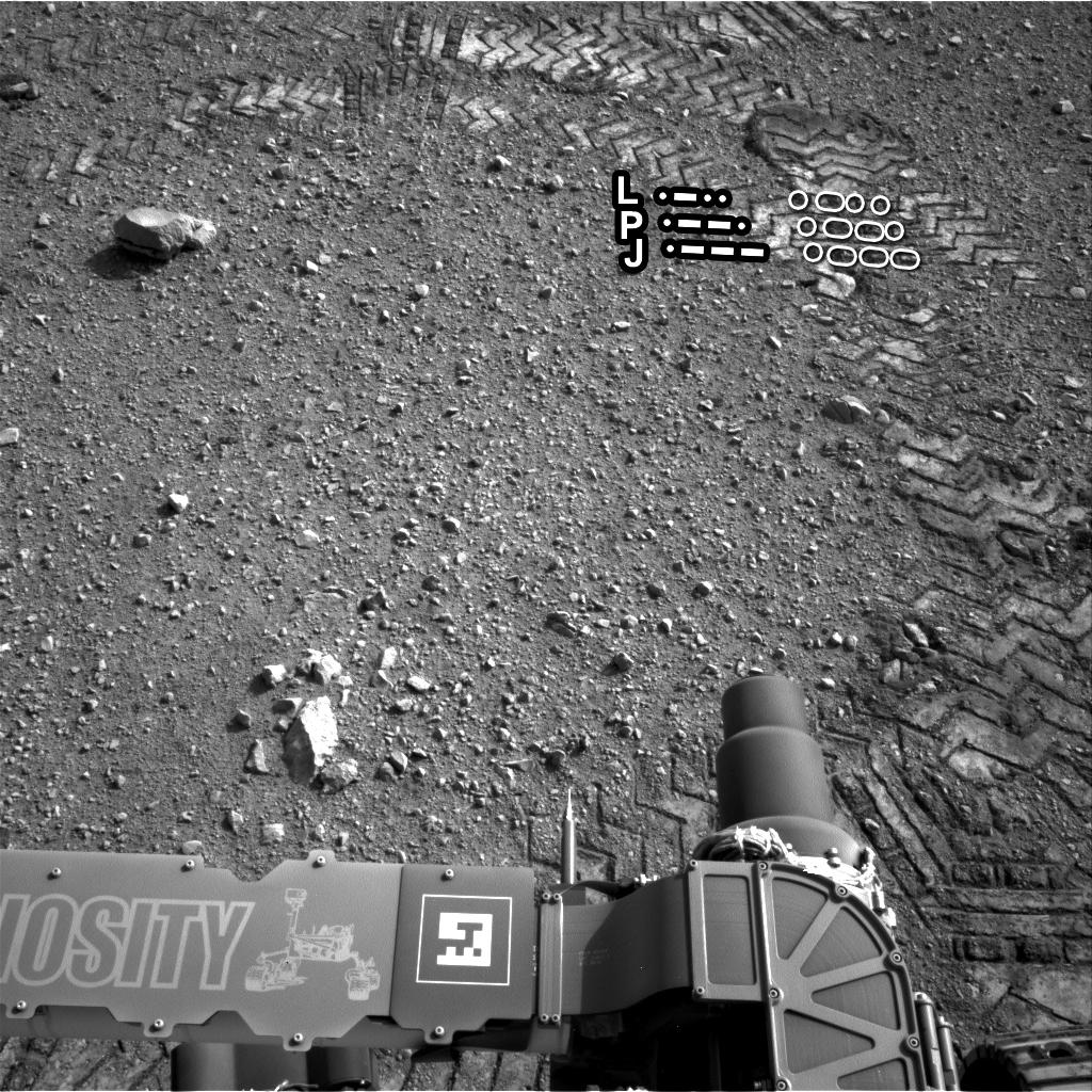
PIA16111:
-
Reading the Rover's Tracks
Full Resolution:
TIFF
(1.05 MB)
JPEG
(274.3 kB)
|
|
|
2012-08-29 |
Mars
|
Mars Science Laboratory (MSL)
|
|
1024x1024x1 |
|
-
PIA16112:
-
Curiosity Tracks Its Tracks
Full Resolution:
TIFF
(1.05 MB)
JPEG
(174.8 kB)
|
|
|
2012-09-04 |
Mars
|
Mars Science Laboratory (MSL)
|
|
7824x3337x3 |
|
-
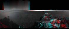
PIA16140:
-
3-D View from Bradbury Landing Site
Full Resolution:
TIFF
(78.35 MB)
JPEG
(1.916 MB)
|
|
|
2012-09-06 |
Mars
|
Mars Science Laboratory (MSL)
|
|
1438x933x3 |
|
-
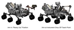
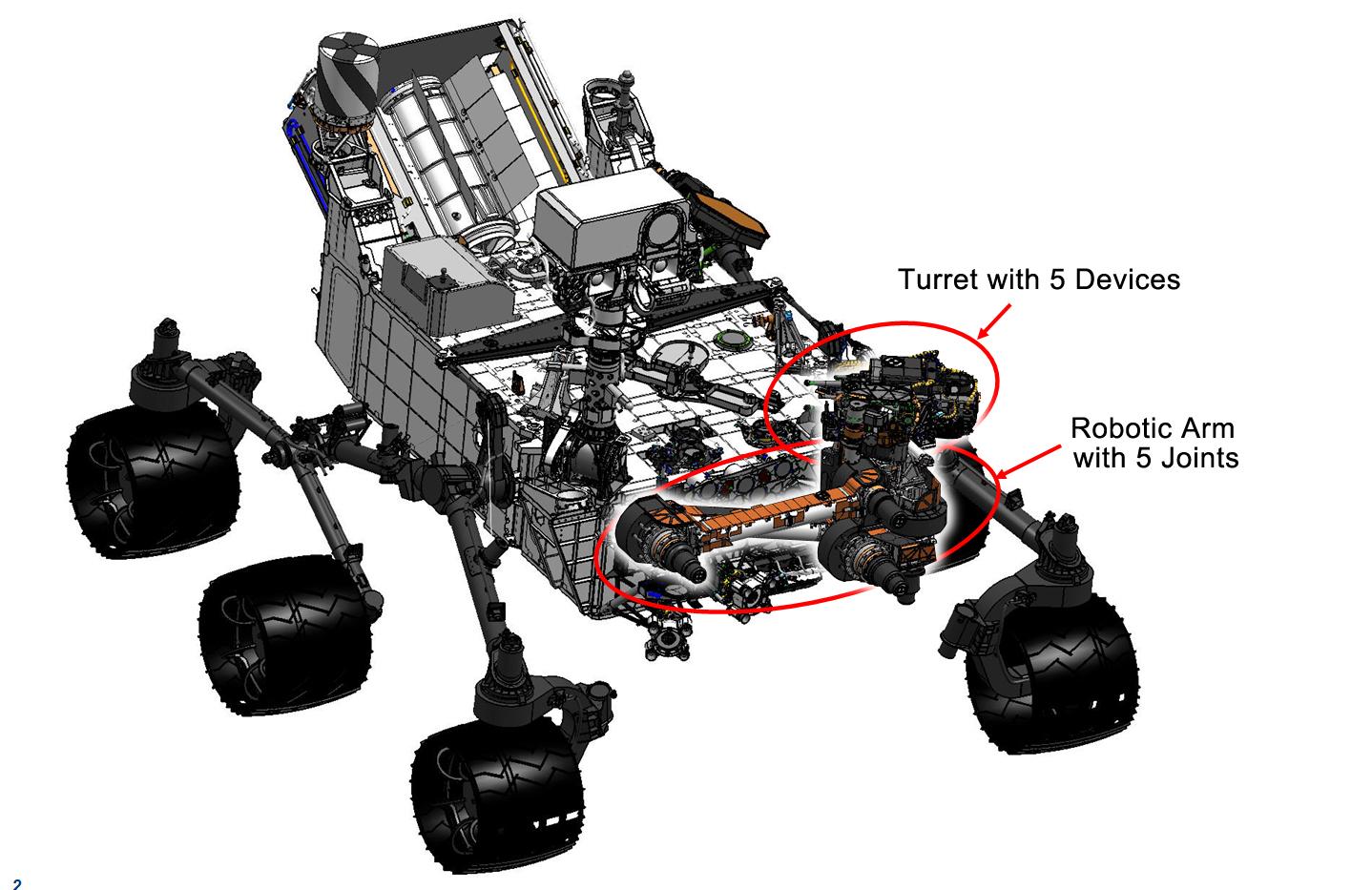
PIA16144:
-
Curiosity's Robotic Arm
Full Resolution:
TIFF
(4.027 MB)
JPEG
(169 kB)
|
|
|
2012-09-06 |
Mars
|
Mars Science Laboratory (MSL)
|
|
1438x933x3 |

|
-
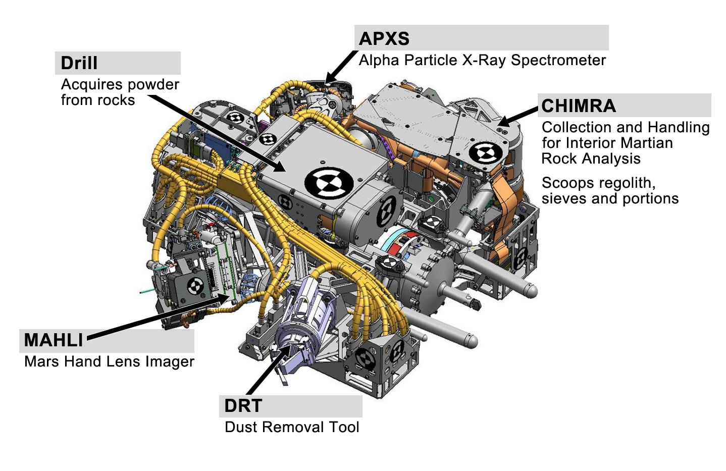
PIA16145:
-
Tools at Curiosity's 'Fingertips'
Full Resolution:
TIFF
(4.027 MB)
JPEG
(192.1 kB)
|
|
|
2012-09-06 |
Mars
|
Mars Science Laboratory (MSL)
|
|
1438x933x3 |
|
-
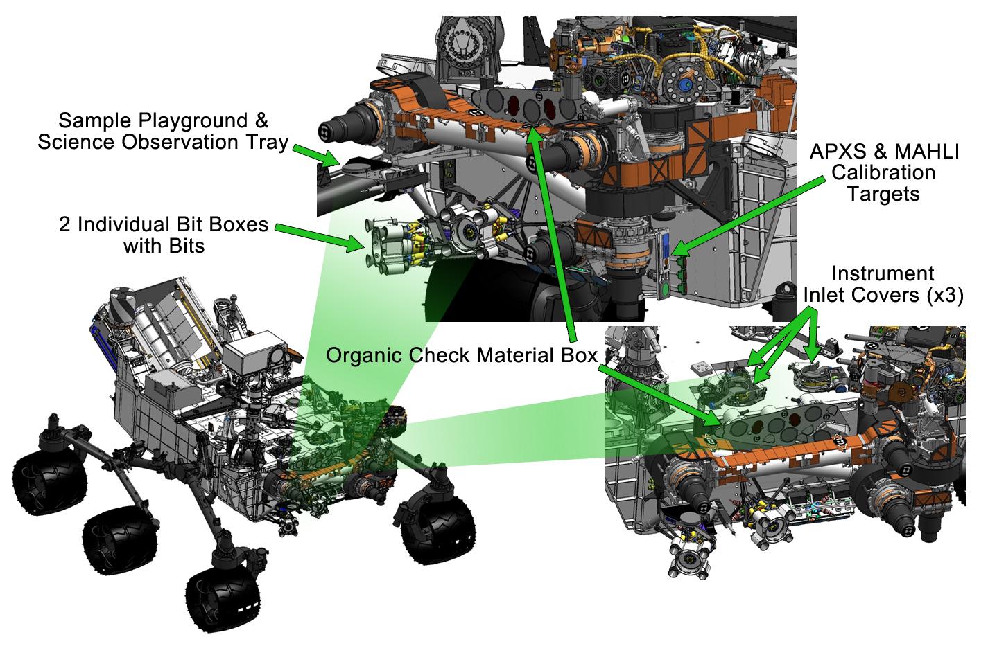
PIA16146:
-
Curiosity's Work Bench
Full Resolution:
TIFF
(4.027 MB)
JPEG
(223.4 kB)
|
|
|
2012-09-06 |
Mars
|
Mars Science Laboratory (MSL)
|
|
1427x578x3 |
|
-
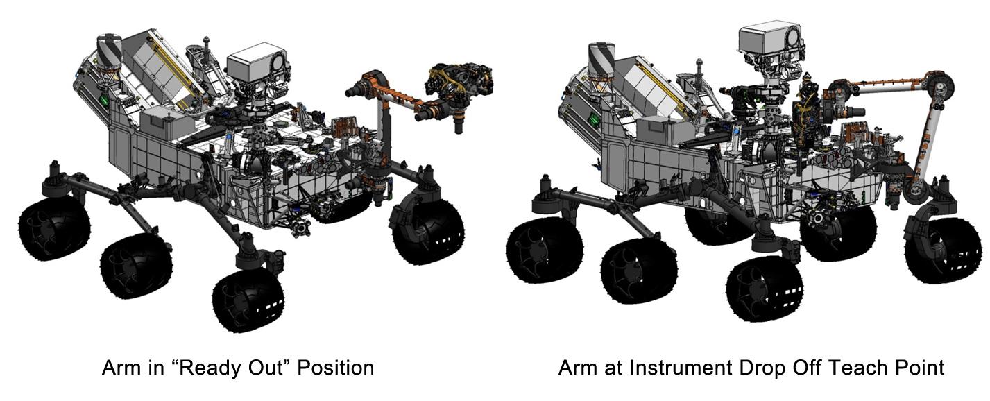
PIA16147:
-
Flexing Curiosity's Arm
Full Resolution:
TIFF
(2.476 MB)
JPEG
(116.9 kB)
|
|
|
2012-11-15 |
Mars
|
Mars Science Laboratory (MSL)
|
|
1286x994x3 |
|
-
PIA16478:
-
Thermal Tides at Mars
Full Resolution:
TIFF
(3.836 MB)
JPEG
(97.88 kB)
|
|
|
2012-12-03 |
Mars
|
Mars Science Laboratory (MSL)
|
|
1809x1332x3 |
|
-
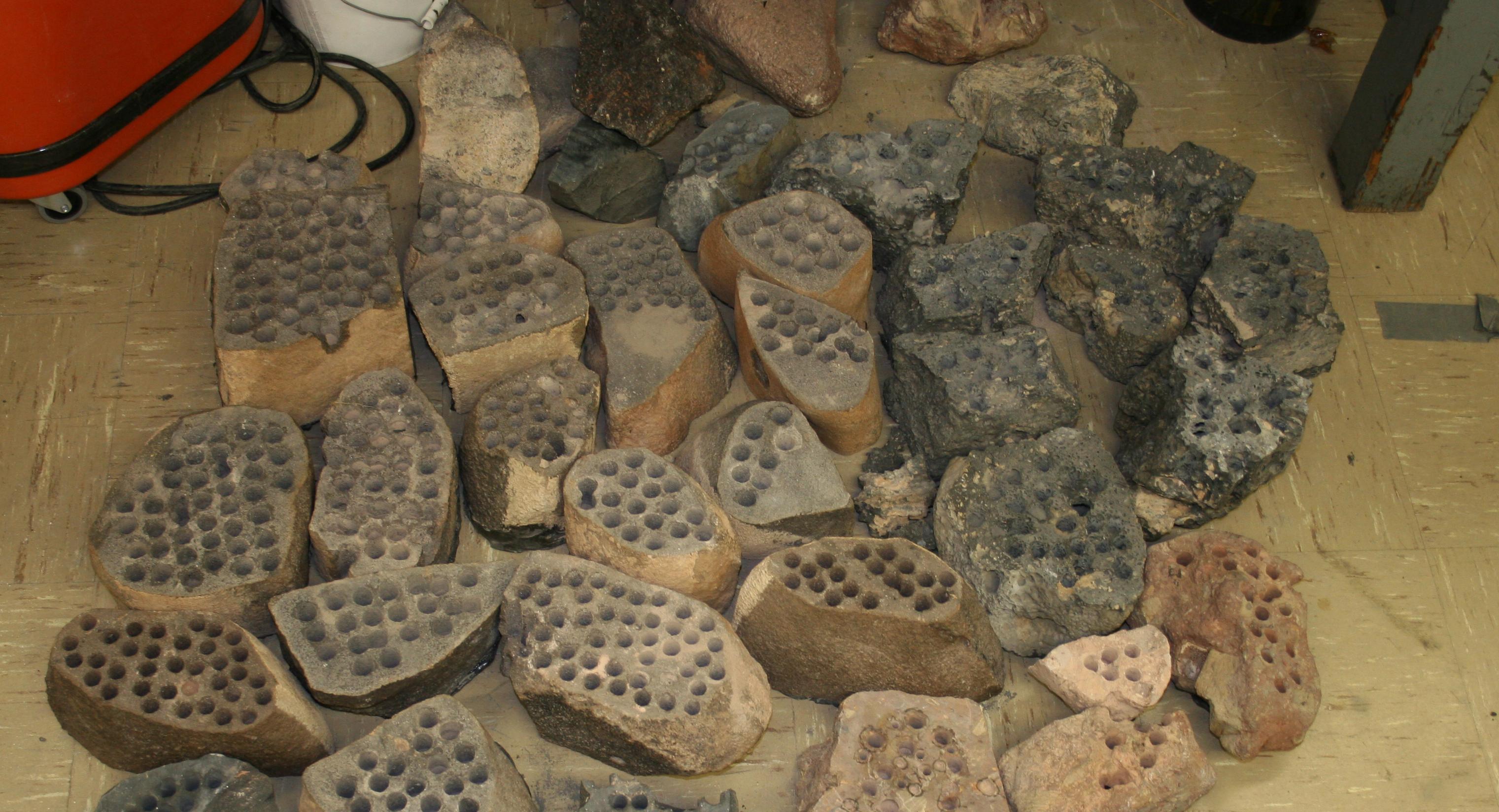
PIA16571:
-
A Sampling of Martian Soils
Full Resolution:
TIFF
(7.232 MB)
JPEG
(328.1 kB)
|
|
|
2013-02-20 |
Mars
|
Mars Science Laboratory (MSL)
|
|
3042x1648x3 |

|
-
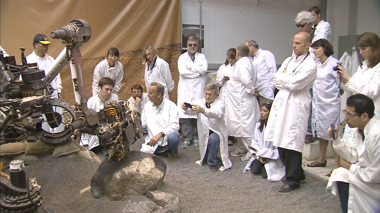
PIA16732:
-
Preparation on Earth for Drilling on Mars
Full Resolution:
TIFF
(15.05 MB)
JPEG
(616.5 kB)
|
|
|
2013-02-20 |
Mars
|
Mars Science Laboratory (MSL)
|
|
1278x718x3 |
|
-
PIA16733:
-
Video Clip of a Rover Rock-Drilling Demonstration at JPL

Full Resolution:
TIFF
(2.754 MB)
JPEG
(165.9 kB)
|
|
|
2013-12-09 |
Mars
|
Mars Science Laboratory (MSL)
|
|
960x720x3 |
|
-
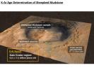
PIA17602:
-
Measuring the Age of a Rock on Mars
Full Resolution:
TIFF
(2.075 MB)
JPEG
(97.66 kB)
|
|
|
2013-12-09 |
Mars
|
Mars Science Laboratory (MSL)
|
|
960x720x3 |

|
-
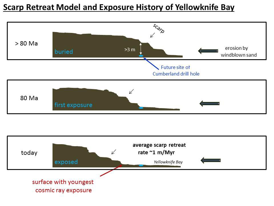
PIA17604:
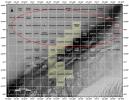
-
Scarp Retreat Model and Exposure History of 'Yellowknife Bay'
Full Resolution:
TIFF
(2.075 MB)
JPEG
(64.41 kB)
|
|
|
2014-02-19 |
Mars
|
Mars Science Laboratory (MSL)
|
|
3300x2550x3 |

|
-
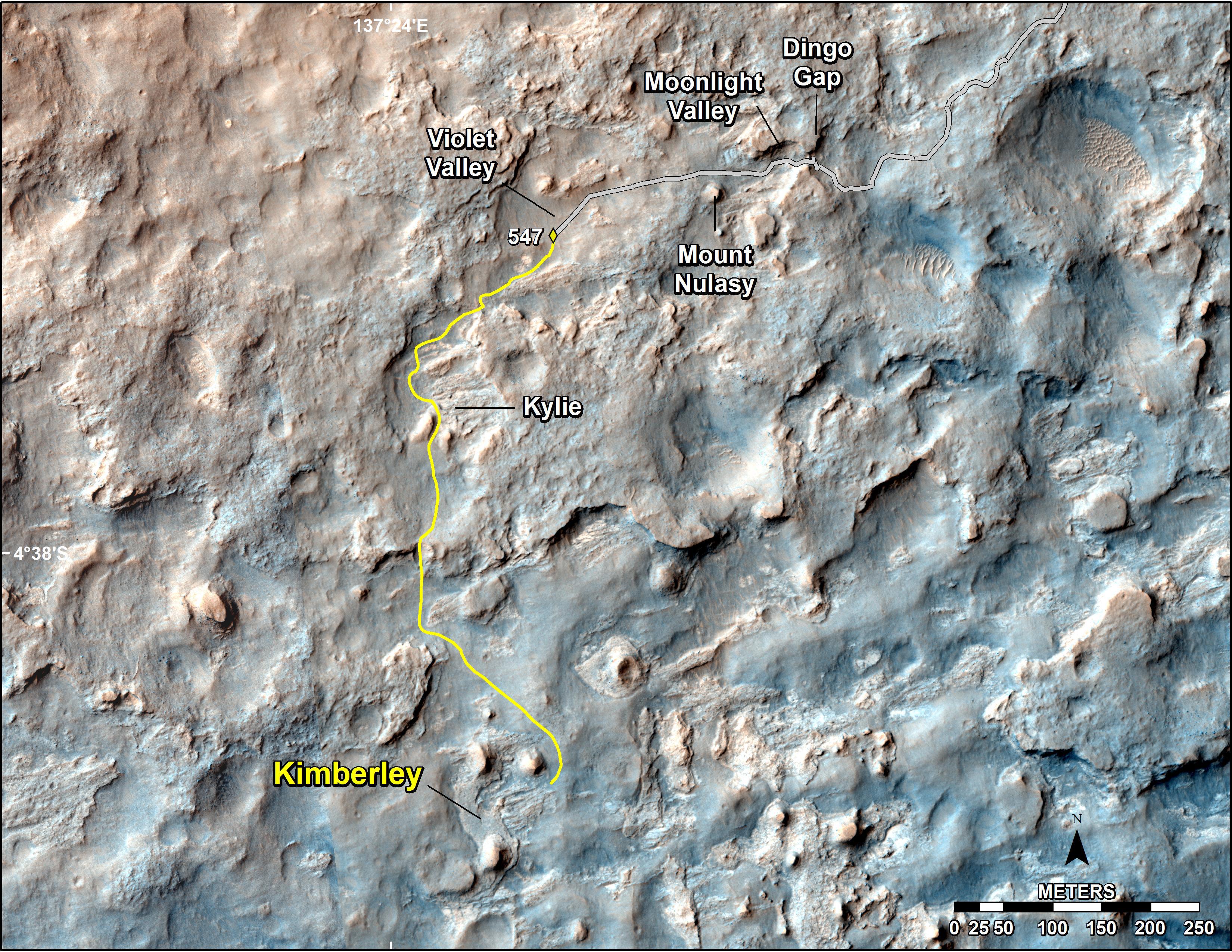
PIA17946:
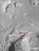
-
Map of Recent and Planned Driving by Curiosity as of Feb. 18, 2014
Full Resolution:
TIFF
(25.26 MB)
JPEG
(1.704 MB)
|
|
|
2013-08-27 |
Mars
|
Mars Science Laboratory (MSL)
|
|
1024x576x3 |
|
-
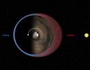
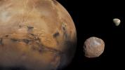
PIA17305:
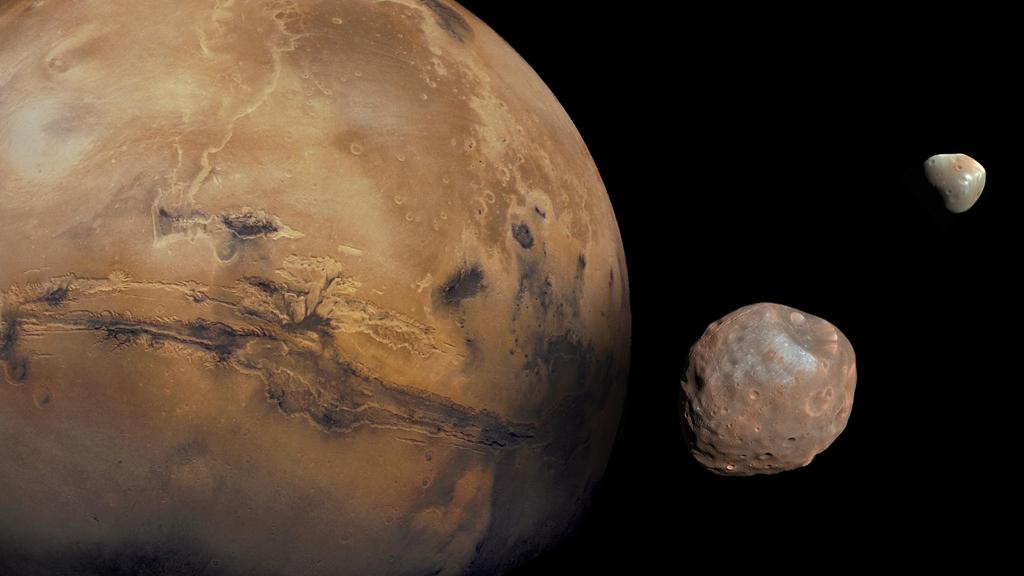
-
The Moons of Mars
Full Resolution:
TIFF
(1.77 MB)
JPEG
(50.88 kB)
|
|
|
2014-09-11 |
Mars
|
Mars Science Laboratory (MSL)
|
|
4200x1759x3 |
|
-
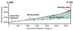
PIA18782:
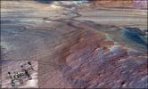
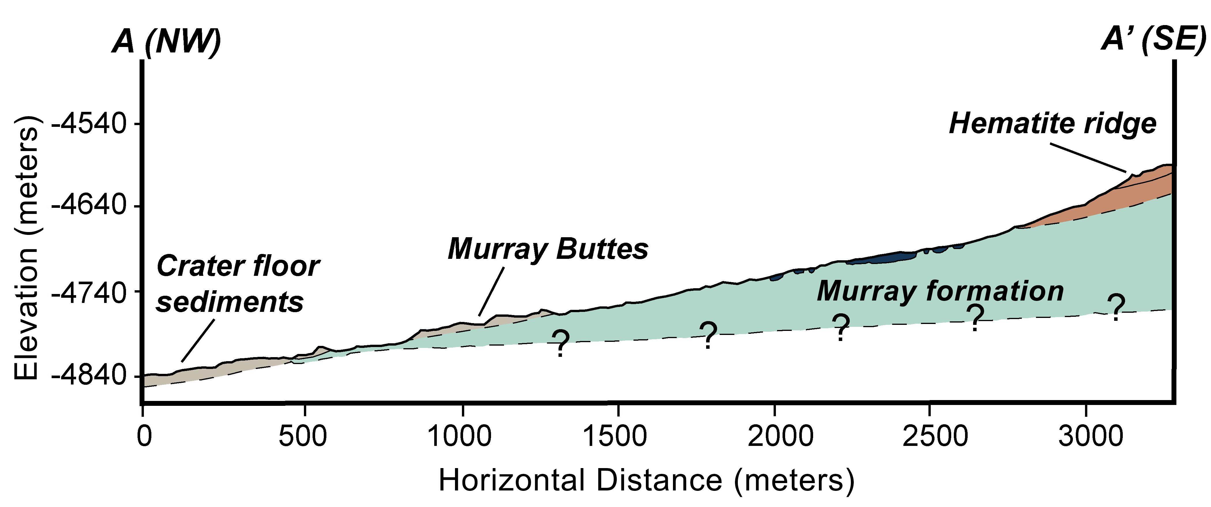
-
Geologic Cross-Section
Full Resolution:
TIFF
(22.18 MB)
JPEG
(366.6 kB)
|
|
|
2014-12-08 |
Mars
|
Mars Science Laboratory (MSL)
|
|
1931x1078x3 |
|
-
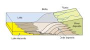
PIA19071:
-
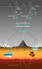
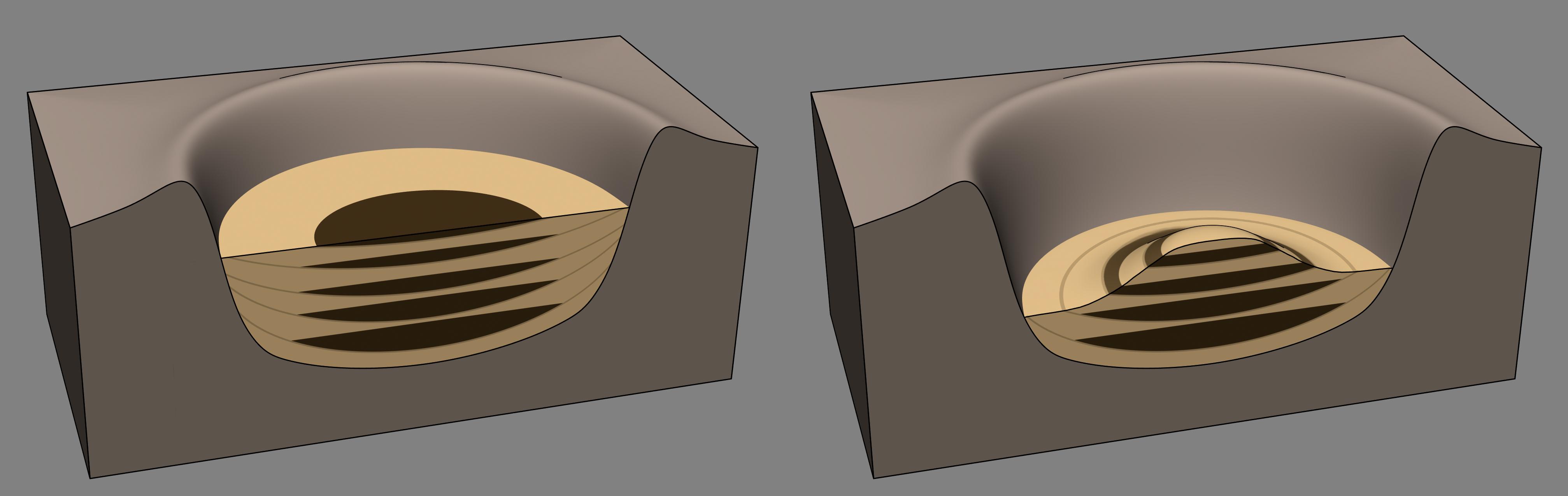
How a Delta Forms Where River Meets Lake
Full Resolution:
TIFF
(6.247 MB)
JPEG
(112.7 kB)
|
|
|
2014-12-08 |
Mars
|
Mars Science Laboratory (MSL)
|
|
4030x1275x3 |
|
-
PIA19079:
-
Sedimentation and Erosion in Gale Crater, Mars
Full Resolution:
TIFF
(15.42 MB)
JPEG
(190.5 kB)
|
|
|
2014-12-08 |
Mars
|
Mars Science Laboratory (MSL)
|
|
2560x1600x3 |
|
-
PIA19080:
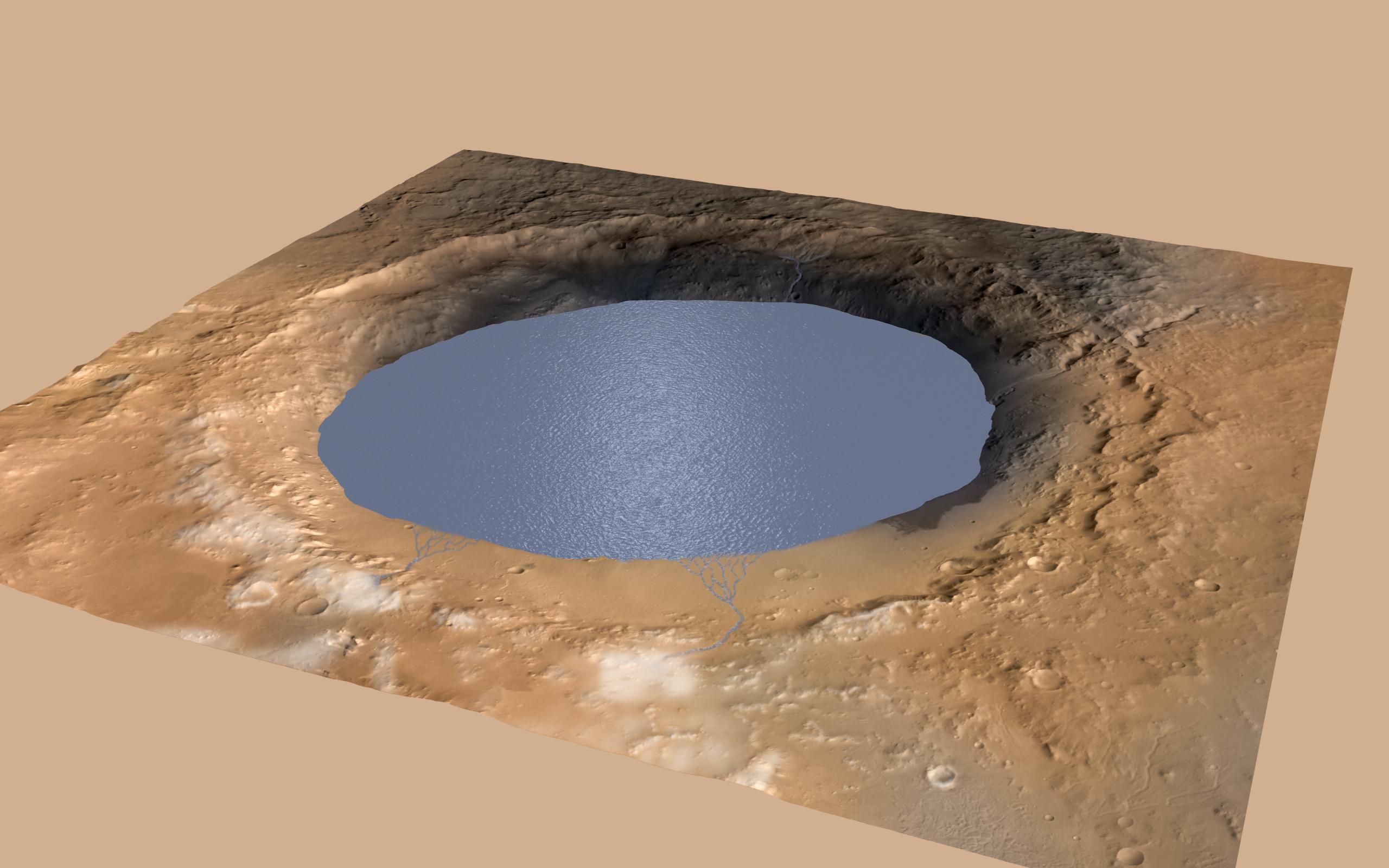
-
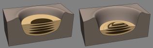
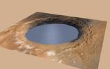
Simulated View of Gale Crater Lake on Mars
Full Resolution:
TIFF
(12.29 MB)
JPEG
(271.9 kB)
|
|
|
2015-11-24 |
Mars
|
Mars Science Laboratory (MSL)
|
|
1000x1650x3 |
|
-
PIA20163:
-
Carbon Exchange and Loss Processes on Mars
Full Resolution:
TIFF
(387.2 kB)
JPEG
(116.4 kB)
|
|
|
2016-12-13 |
Mars
|
Mars Science Laboratory (MSL)
|
|
1490x804x3 |
|
-
PIA21145:
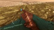
-
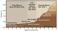
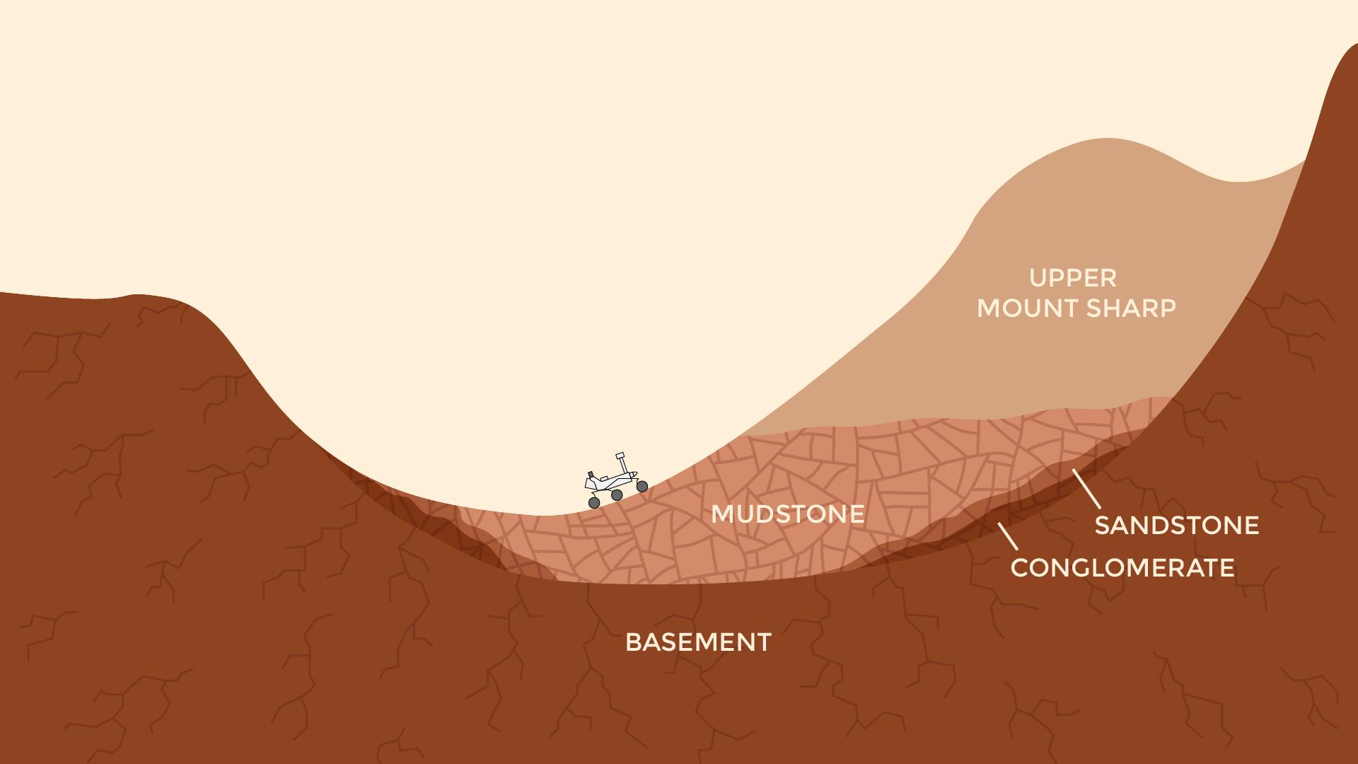
Curiosity Rover's Martian Mission, Exaggerated Cross Section
Full Resolution:
TIFF
(994.6 kB)
JPEG
(101.3 kB)
|
|
|
2016-12-13 |
Mars
|
Mars Science Laboratory (MSL)
|
|
2969x1612x3 |
|
-
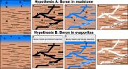
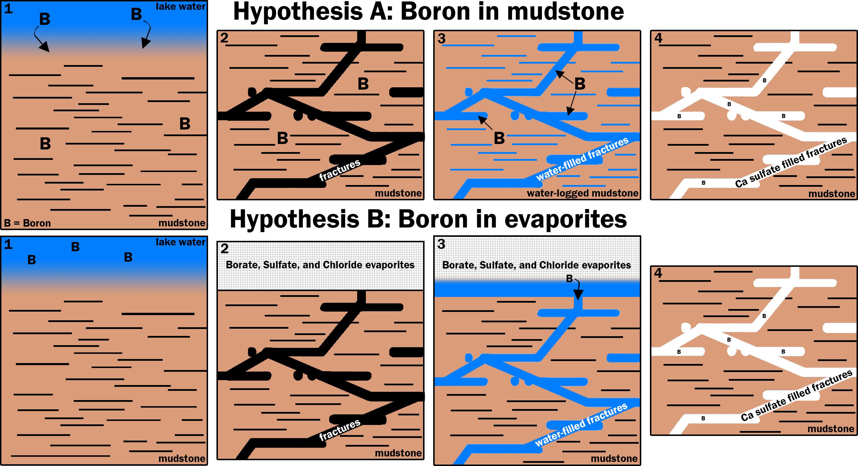
PIA21253:
-
Two Possible Ways Boron Got into Veins on Mount Sharp
Full Resolution:
TIFF
(1.52 MB)
JPEG
(540.5 kB)
|
|
|
2016-12-13 |
Mars
|
Mars Science Laboratory (MSL)
|
|
1920x1080x3 |
|
-
PIA21255:
-
Now and Long Ago at Gale Crater, Mars (Illustration)
Full Resolution:
TIFF
(491.6 kB)
JPEG
(77.52 kB)
|
|
|
2017-06-01 |
Mars
|
Mars Science Laboratory (MSL)
|
|
2858x1213x3 |
|
-
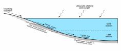
PIA21500:
-
Diagram of Lake Stratification on Mars
Full Resolution:
TIFF
(469.2 kB)
JPEG
(191.1 kB)
|
|
|
2017-10-23 |
Mars
|
Mars Science Laboratory (MSL)
|
|
1024x512x1 |
|
-
PIA22063:
-
Mars Rover Step Toward Possible Resumption of Drilling
Full Resolution:
TIFF
(525 kB)
JPEG
(84.28 kB)
|
|
|
2018-01-30 |
Mars
|
Mars Science Laboratory (MSL)
|
|
2550x3300x3 |
|
-
PIA22208:
-
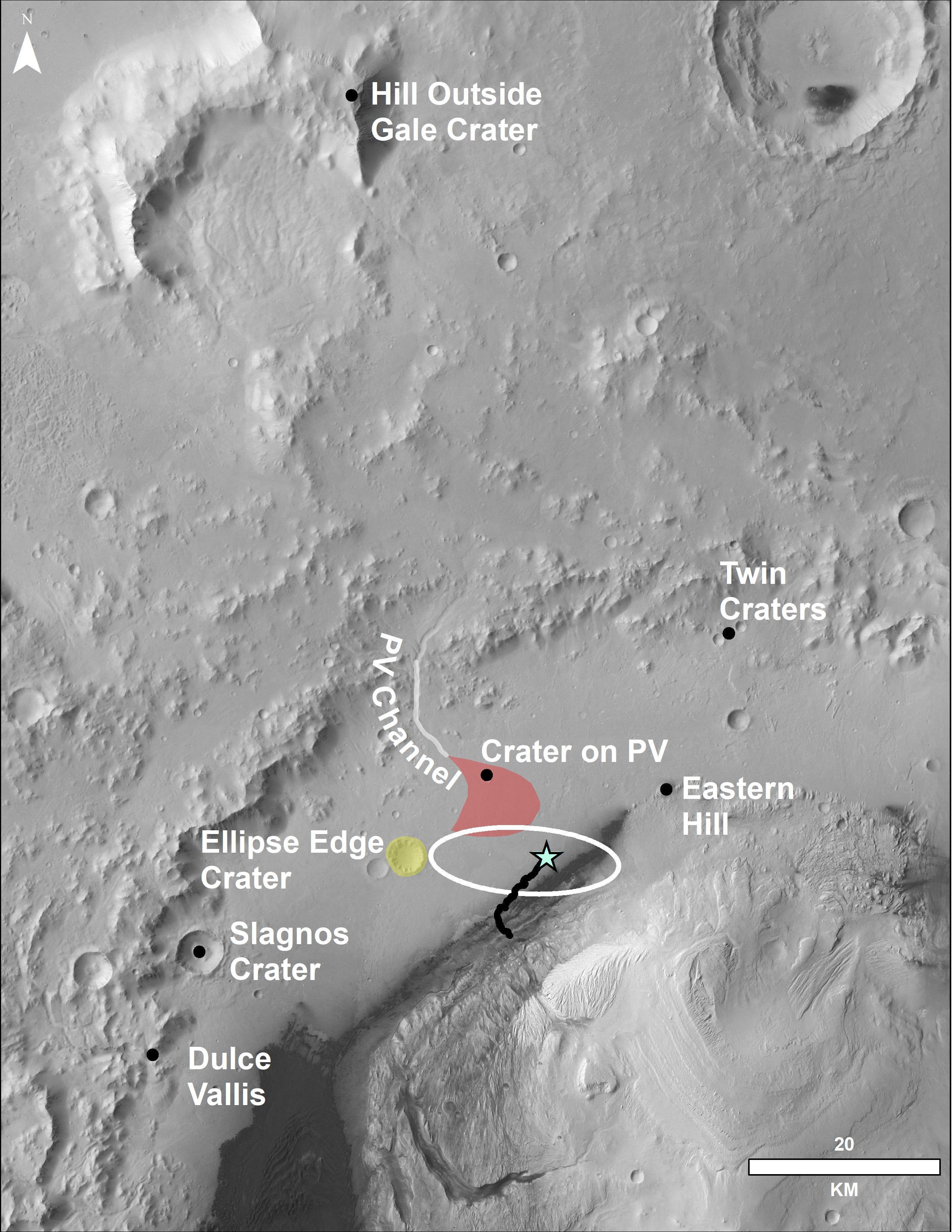
Locator Map for Features in Curiosity Panorama
Full Resolution:
TIFF
(11.68 MB)
JPEG
(916.2 kB)
|
|
|
2020-04-14 |
Mars
|
Mars Science Laboratory (MSL)
|
|
2883x1633x3 |

|
-
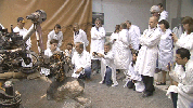
PIA23773:
-
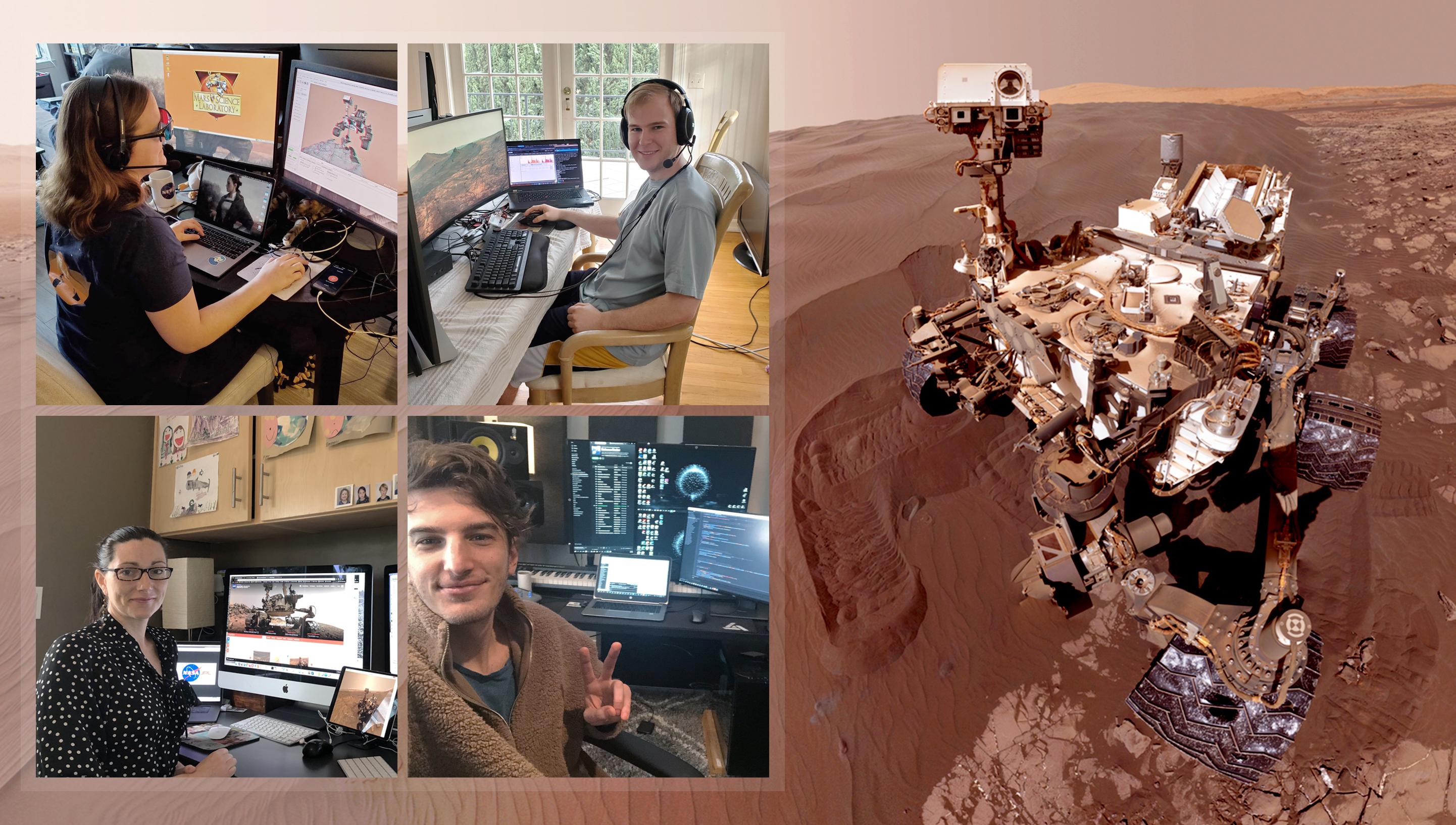
Curiosity's Team Teleworks
Full Resolution:
TIFF
(14.02 MB)
JPEG
(630.3 kB)
|
|
|
2023-06-08 |
Mars
|
Mars Science Laboratory (MSL)
|
|
13200x10200x3 |
|
-
PIA25914:
-
Curiosity's Quadrant Themes
Full Resolution:
TIFF
(147.4 MB)
JPEG
(15.53 MB)
|
|
|
2023-09-18 |
Mars
|
Mars Science Laboratory (MSL)
|
|
3006x1813x3 |
|
-
PIA26020:
-
Rendering Depicts Curiosity at Gediz Vallis Ridge
Full Resolution:
TIFF
(16.36 MB)
JPEG
(960.6 kB)
|
|
|
2023-09-18 |
Mars
|
Mars Science Laboratory (MSL)
|
|
1280x720x3 |
|
-
PIA26042:
-
Curiosity's Path to Gediz Vallis Ridge and Beyond
Full Resolution:
TIFF
(2.571 MB)
JPEG
(183.2 kB)
|
 Planetary Data System


