|
Your search criteria found 2593 images Target is Earth (and available satellites) |
| My List |
Addition Date | Target |
Mission
|
Instrument | Size |

|
2010-03-16 | Earth |
OSTM/Jason-2 |
Altimeter |
900x900x3 |
|
|||||
|
|
2010-05-24 | Earth |
OSTM/Jason-2 |
Altimeter |
612x627x3 |

|
|||||
|
|
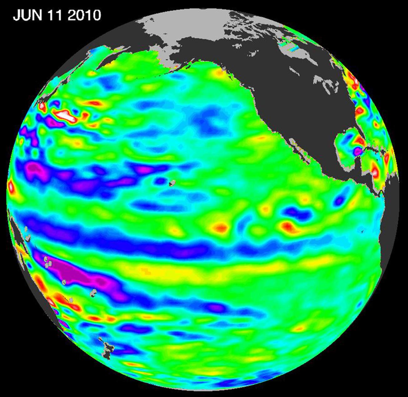
2010-06-22 | Earth |
OSTM/Jason-2 |
Altimeter |
1304x1268x3 |

|
|||||
|
|
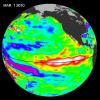
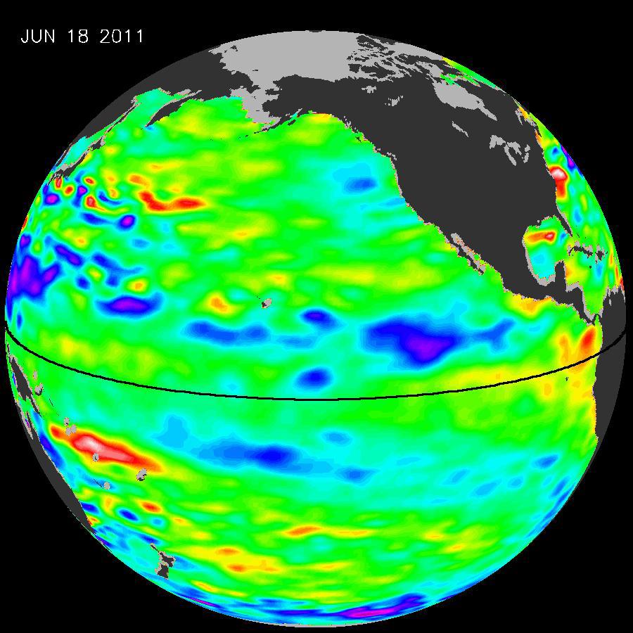
2011-07-06 | Earth |
OSTM/Jason-2 |
Altimeter |
900x900x3 |
|
|||||
|
|
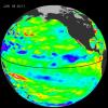
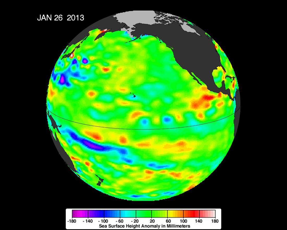
2013-02-07 | Earth |
OSTM/Jason-2 |
Altimeter |
1100x880x3 |
|
|||||
|
|
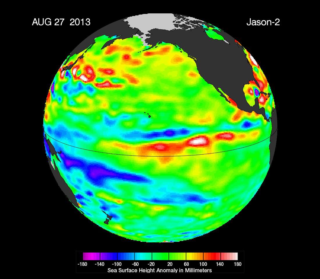
2013-09-09 | Earth |
OSTM/Jason-2 |
Altimeter |
1100x960x3 |
|
|||||
|
|
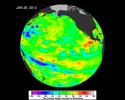
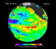
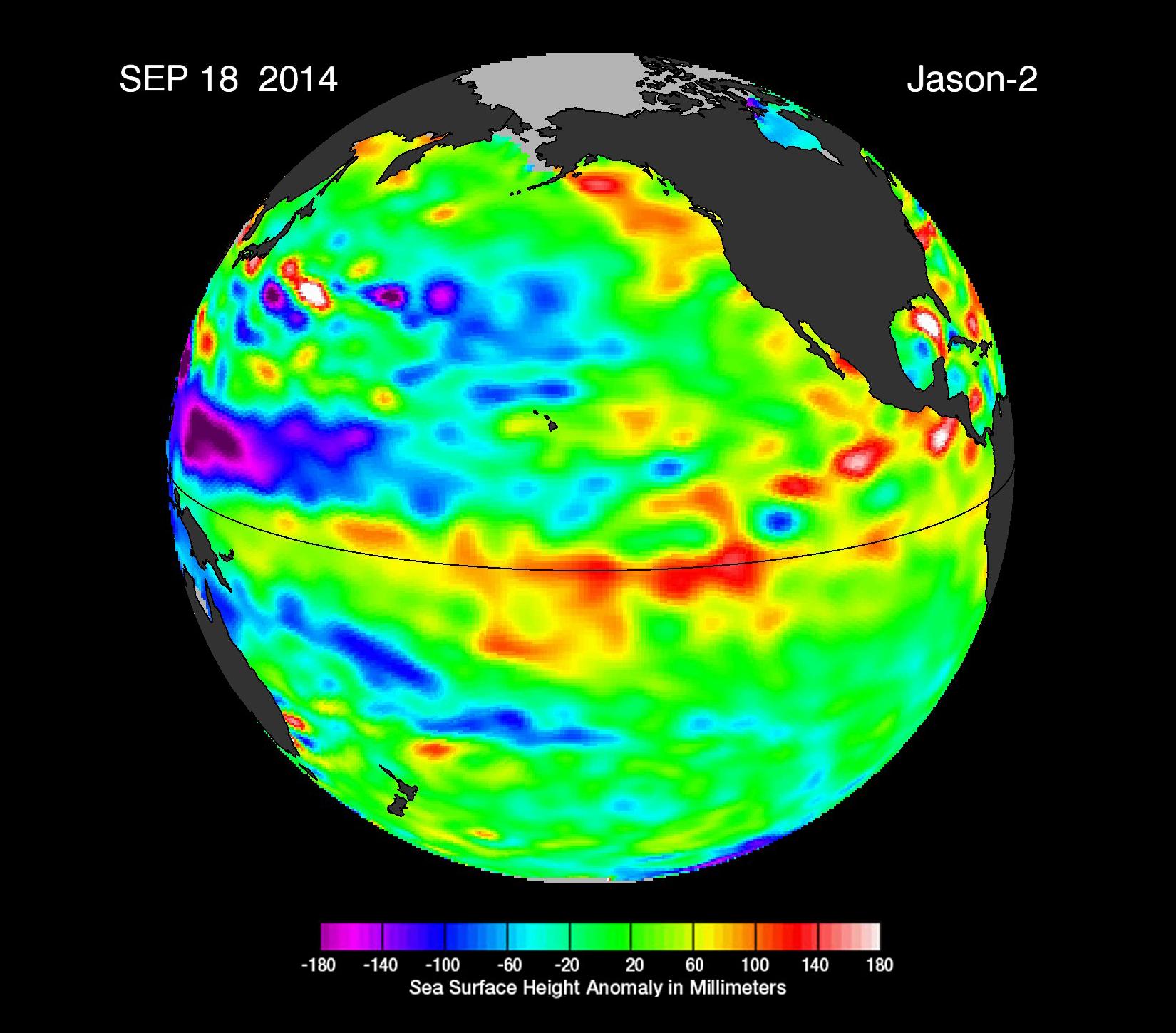
2014-09-22 | Earth |
OSTM/Jason-2 |
Altimeter |
1650x1450x3 |
|
|||||
|
|
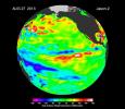
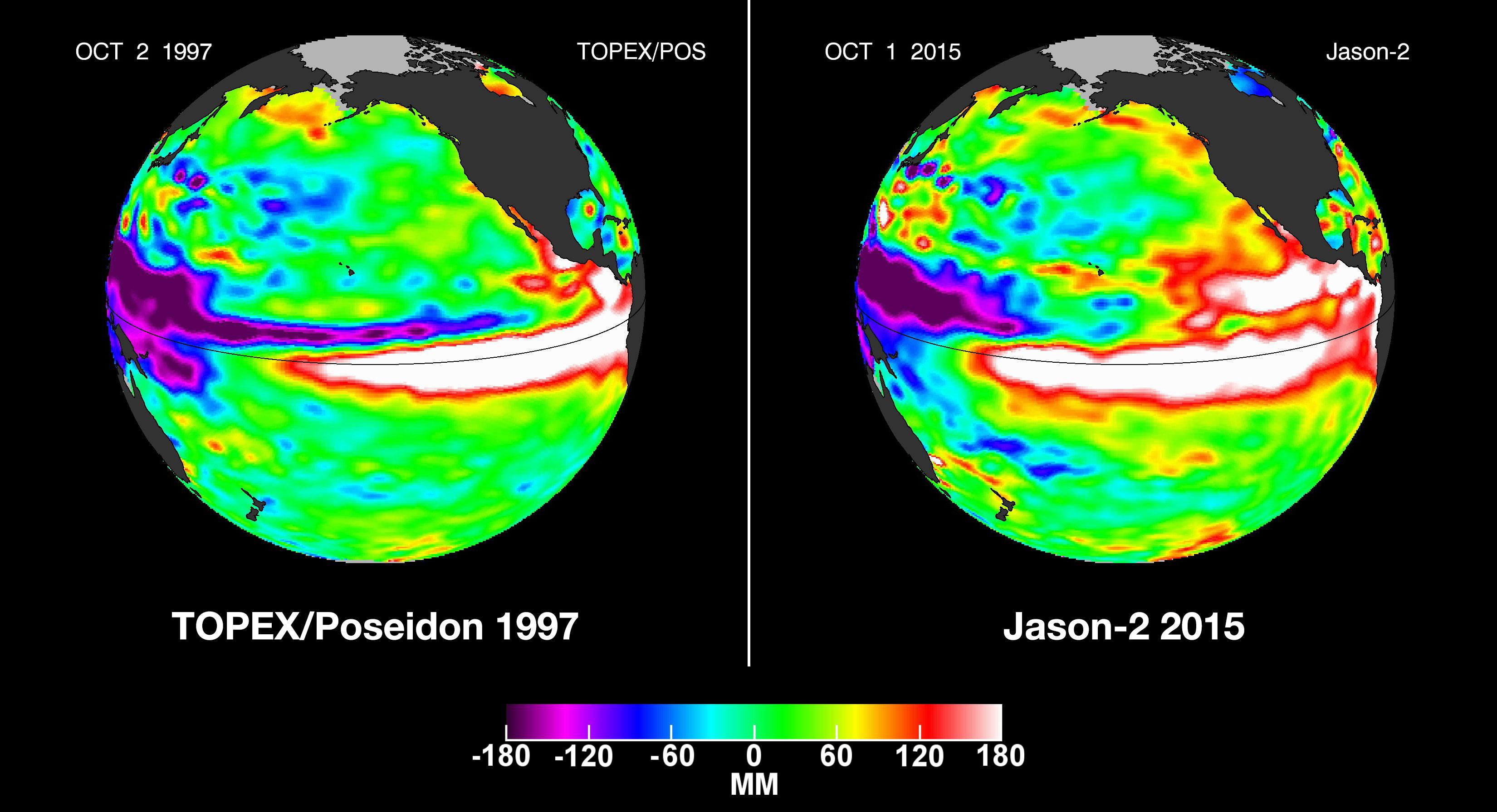
2015-10-19 | Earth |
OSTM/Jason-2 |
Altimeter |
3300x1791x3 |
|
|||||
|
|
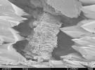
2008-09-30 | Earth |
Phoenix |
1228x910x1 | |
|
|||||
|
|
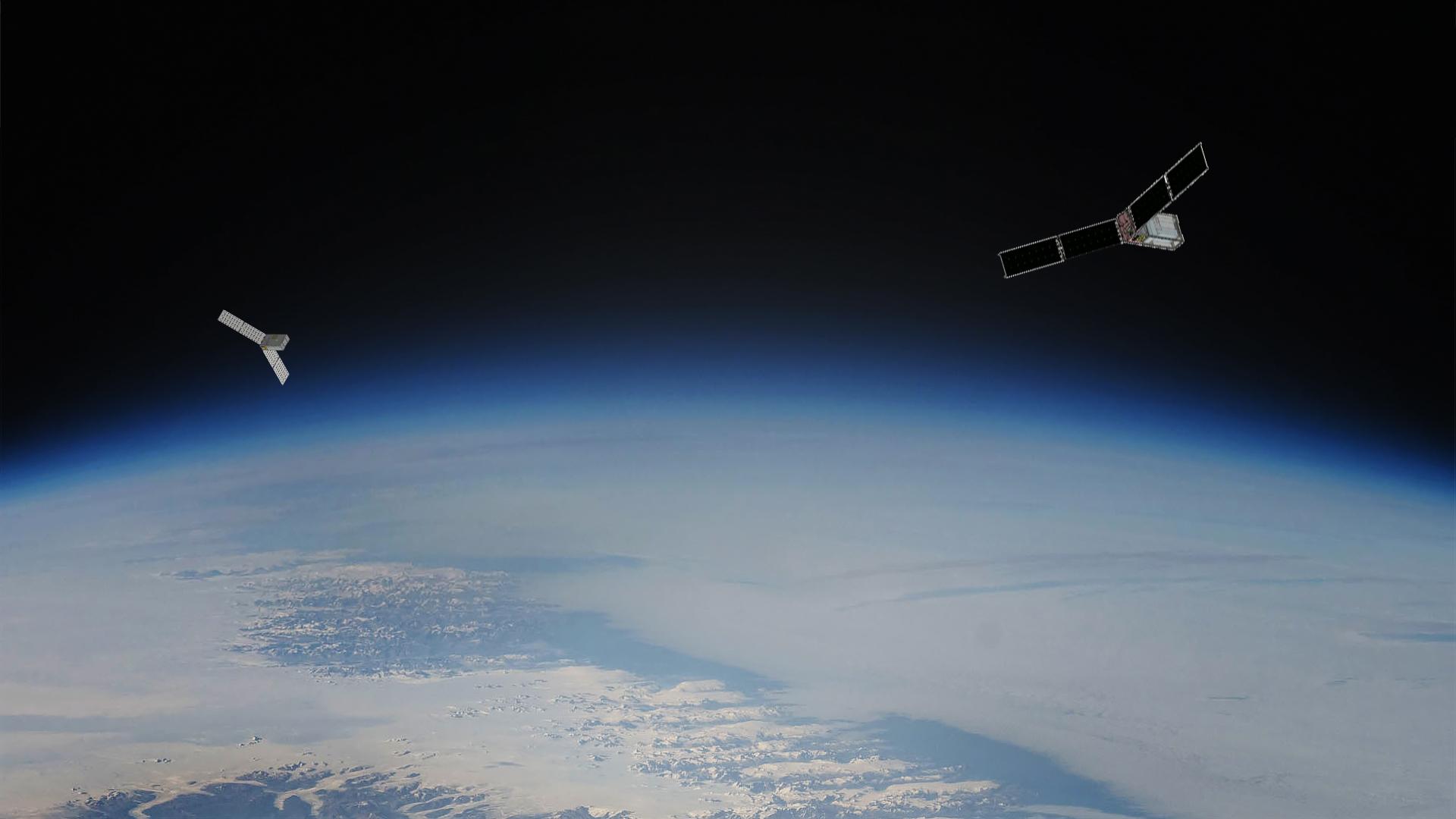
2023-08-14 | Earth |
Polar Radiant Energy in the Far-InfraRed Experiment (PREFIRE) |
1920x1080x3 | |

|
|||||
|
|
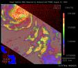
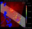
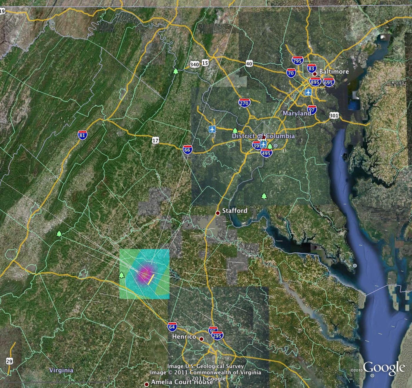
2011-08-24 | Earth |
QuakeSim |
1400x1318x3 | |

|
|||||
|
|
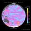
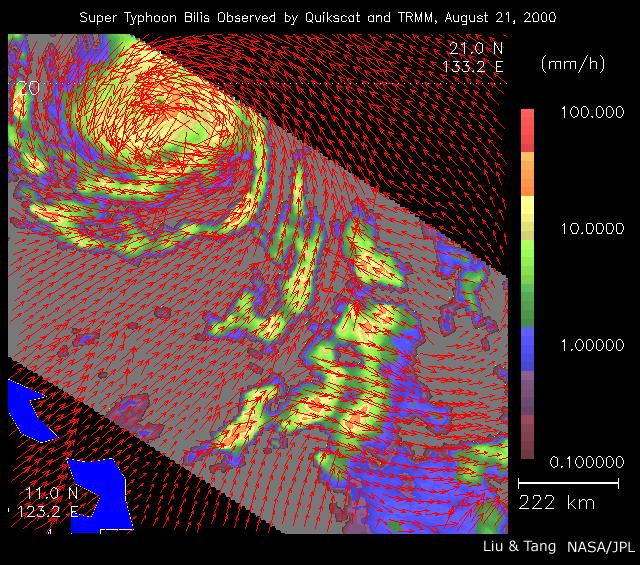
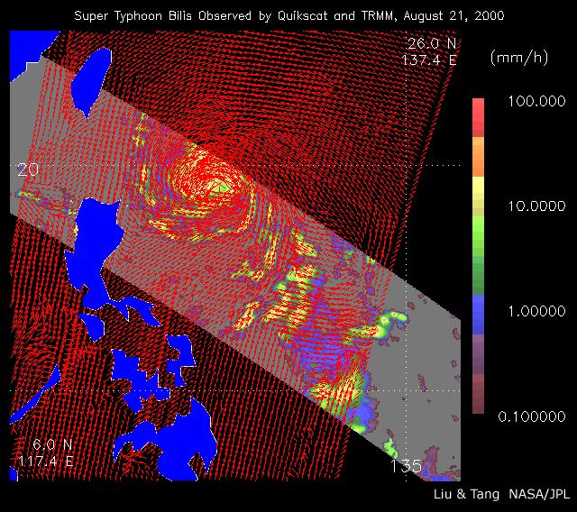
2000-08-23 | Earth |
QuikScat |
SeaWinds Scatterometer |
640x565x3 |
|
|||||
|
|
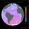
2002-07-05 | Earth |
QuikScat |
SeaWinds Scatterometer |
640x568x3 |
|
|||||
|
|
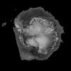
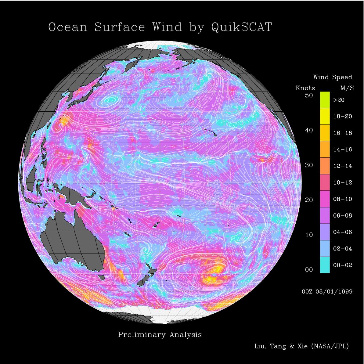
1999-08-09 | Earth |
QuikScat |
SeaWinds Scatterometer |
1193x1193x3 |
|
|||||
|
|
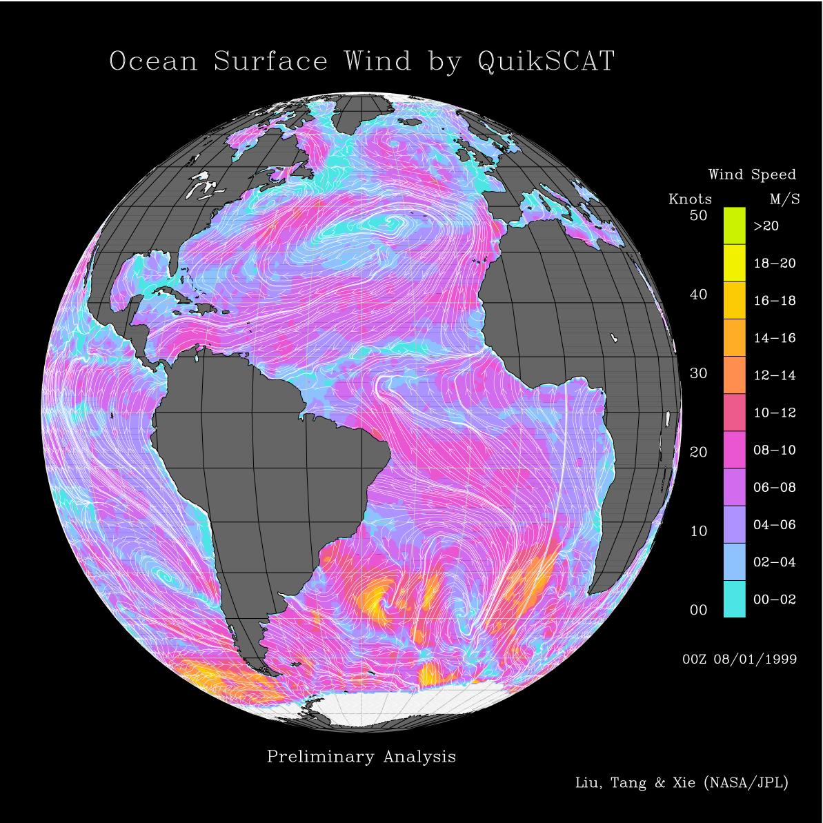
1999-08-09 | Earth |
QuikScat |
SeaWinds Scatterometer |
1193x1193x3 |
|
|||||
|
|
1999-09-08 | Earth |
QuikScat |
SeaWinds Scatterometer |
900x900x1 |
|
|||||
|
|
1999-09-16 | Earth |
QuikScat |
SeaWinds Scatterometer |
564x400x3 |
|
|||||
|
|
1999-08-25 | Earth |
QuikScat |
SeaWinds Scatterometer |
1000x870x3 |

|
|||||
|
|
2000-05-07 | Earth |
QuikScat |
SeaWinds Scatterometer |
3296x4267x3 |

|
|||||
|
|
2000-05-07 | Earth |
QuikScat |
SeaWinds Scatterometer |
3296x4267x3 |
|
|||||
|
|
2000-05-07 | Earth |
QuikScat |
SeaWinds Scatterometer |
2638x2201x3 |
|
|||||
|
|
2000-05-08 | Earth |
QuikScat |
SeaWinds Scatterometer |
2048x2048x3 |
|
|||||
|
|
2000-05-08 | Earth |
QuikScat |
SeaWinds Scatterometer |
1452x1280x3 |
|
|||||
|
|
2003-01-08 | Earth |
QuikScat |
SeaWinds Scatterometer |
800x667x3 |
|
|||||
|
|
2003-01-13 | Earth |
QuikScat |
SeaWinds Scatterometer |
2490x1050x3 |
|
|||||
|
|
2004-12-09 | Earth |
QuikScat |
SeaWinds Scatterometer |
1414x1540x3 |
|
|||||
|
|
2005-03-03 | Earth |
QuikScat |
SeaWinds Scatterometer |
1456x1548x3 |
|
|||||
|
|
2005-07-18 | Earth |
QuikScat |
SeaWinds Scatterometer |
1280x1440x3 |
|
|||||
|
|
2005-07-18 | Earth |
QuikScat |
SeaWinds Scatterometer |
1535x1575x3 |
|
|||||
|
|
2005-08-25 | Earth |
QuikScat |
SeaWinds Scatterometer |
835x773x3 |
|
|||||
|
|
2005-08-29 | Earth |
QuikScat |
SeaWinds Scatterometer |
1272x1531x3 |
|
|||||
|
|
2005-10-12 | Earth |
QuikScat |
SeaWinds Scatterometer |
3869x2421x3 |

|
|||||
|
|
2005-10-21 | Earth |
QuikScat |
SeaWinds Scatterometer |
1599x1566x3 |
|
|||||
|
|
2007-01-09 | Earth |
QuikScat |
SeaWinds Scatterometer |
1321x1623x3 |
|
|||||
|
|
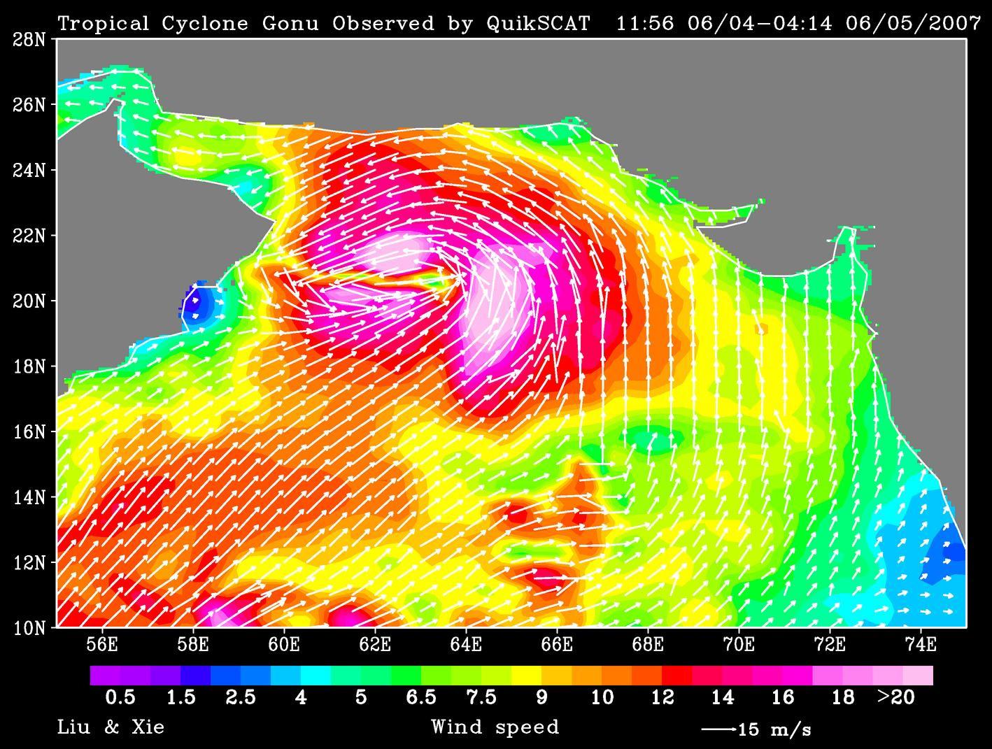
2007-06-06 | Earth |
QuikScat |
SeaWinds Scatterometer |
1418x1071x3 |
|
|||||
|
|
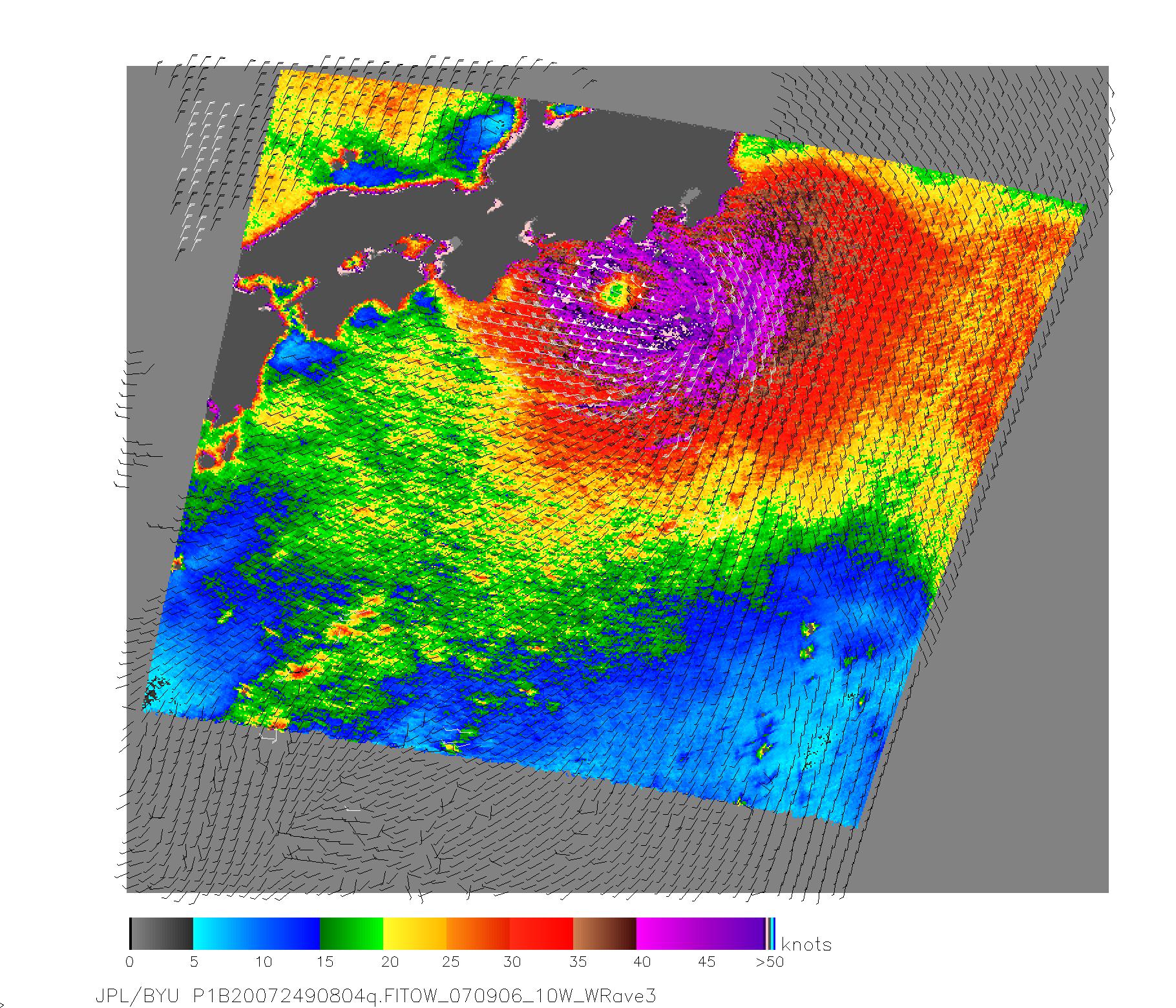
2007-09-07 | Earth |
QuikScat |
SeaWinds Scatterometer |
1820x1560x3 |
|
|||||
|
|
2007-10-23 | Earth |
QuikScat |
SeaWinds Scatterometer |
800x875x3 |

|
|||||
|
|
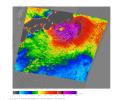
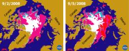
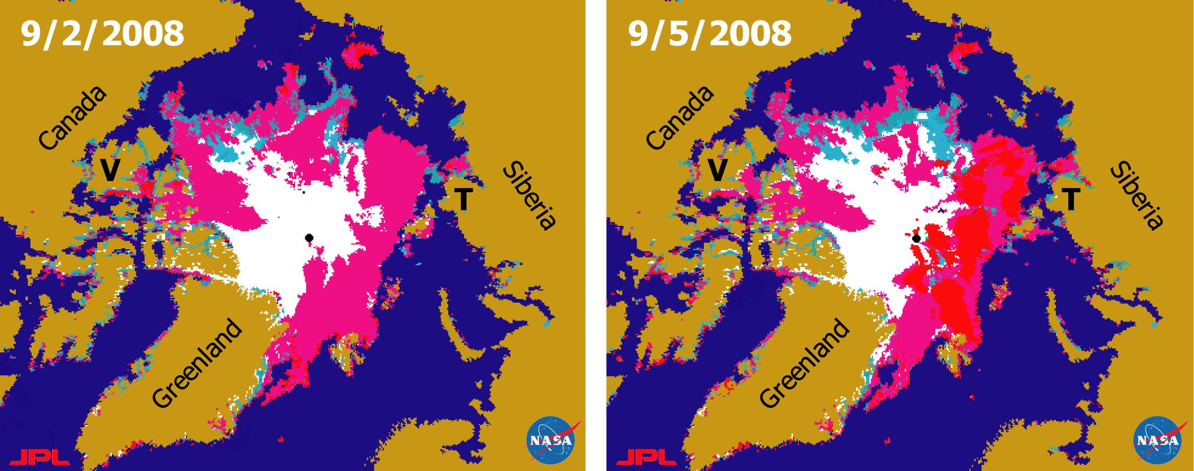
2008-09-11 | Earth |
QuikScat |
SeaWinds Scatterometer |
2344x926x3 |
|
|||||
|
|
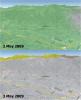
2009-05-08 | Earth |
QuikScat |
SeaWinds Scatterometer |
2367x2916x3 |
|
|||||
|
|
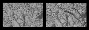
2000-09-20 | Earth |
RadarSat |
Imaging Radar |
720x520x3 |

|
|||||
|
|
2000-09-20 | Earth |
RadarSat |
Imaging Radar |
1406x472x1 |
|
|||||
|
|
2000-11-04 | Moon |
Ranger 7 |
685x720x1 | |
|
|||||
|
|
2000-11-04 | Moon |
Ranger 7 |
720x707x1 | |

|
|||||
|
|
2002-07-05 | Moon |
Ranger 9 |
TV Camera |
550x473x3 |
|
|
||||
|
|
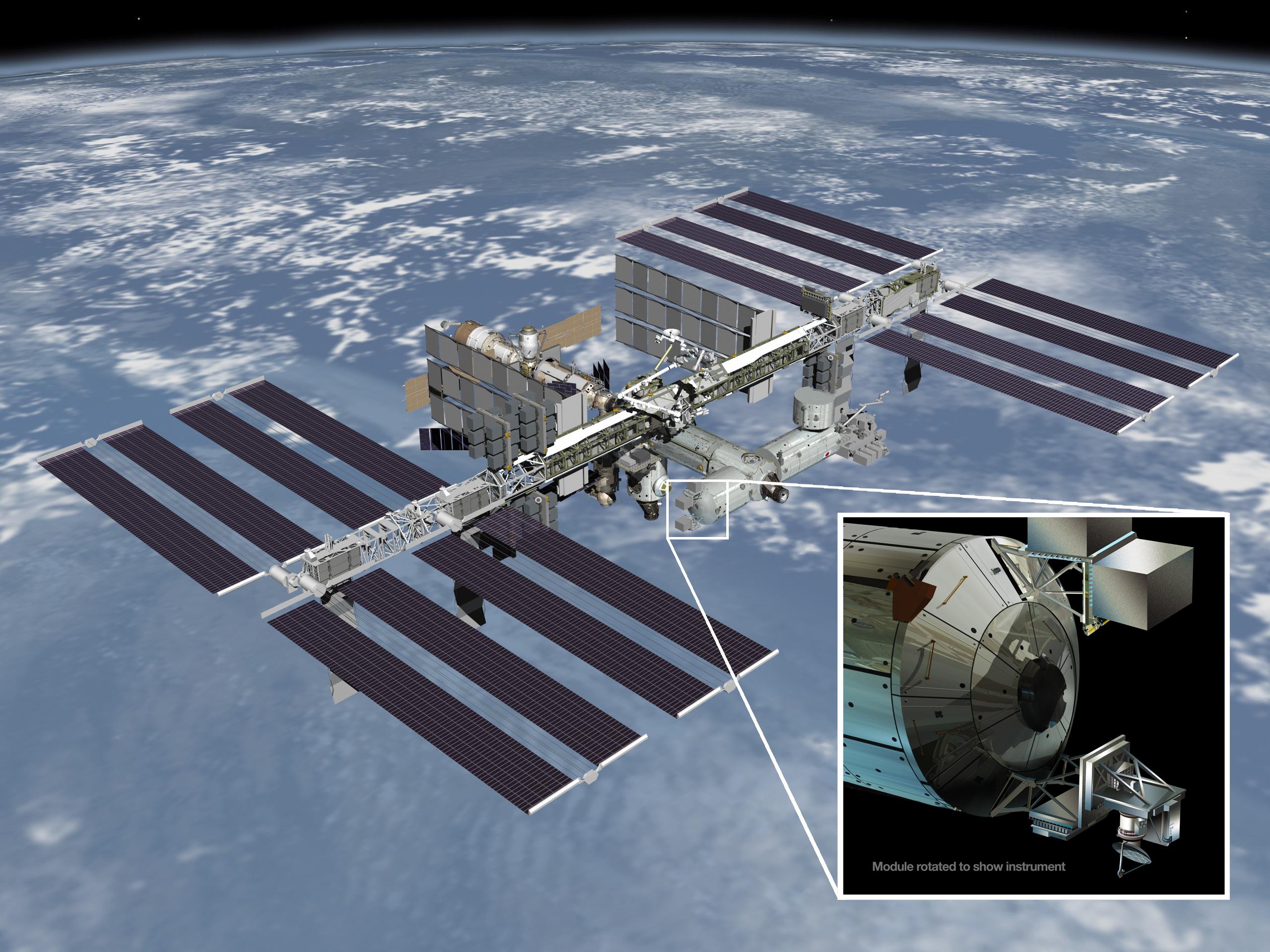
2014-01-22 | Earth |
RapidScat |
ISS-RapidScat |
2560x1920x3 |

|
|||||
|
|
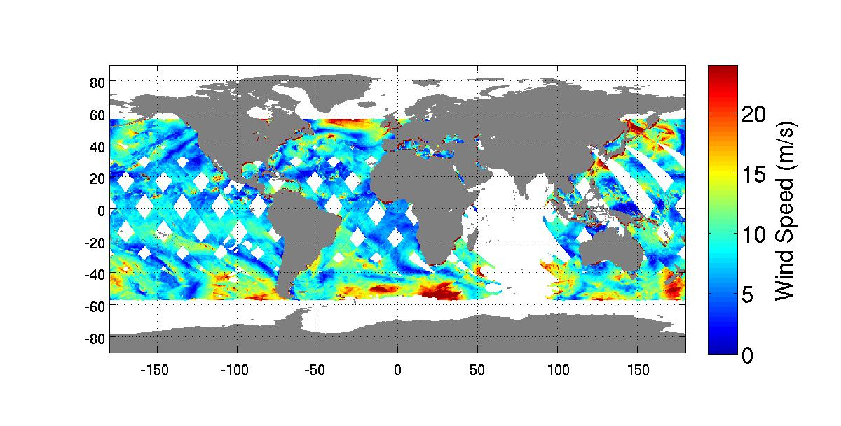
2014-10-06 | Earth |
RapidScat |
ISS-RapidScat |
1200x609x3 |
|
|||||
|
|
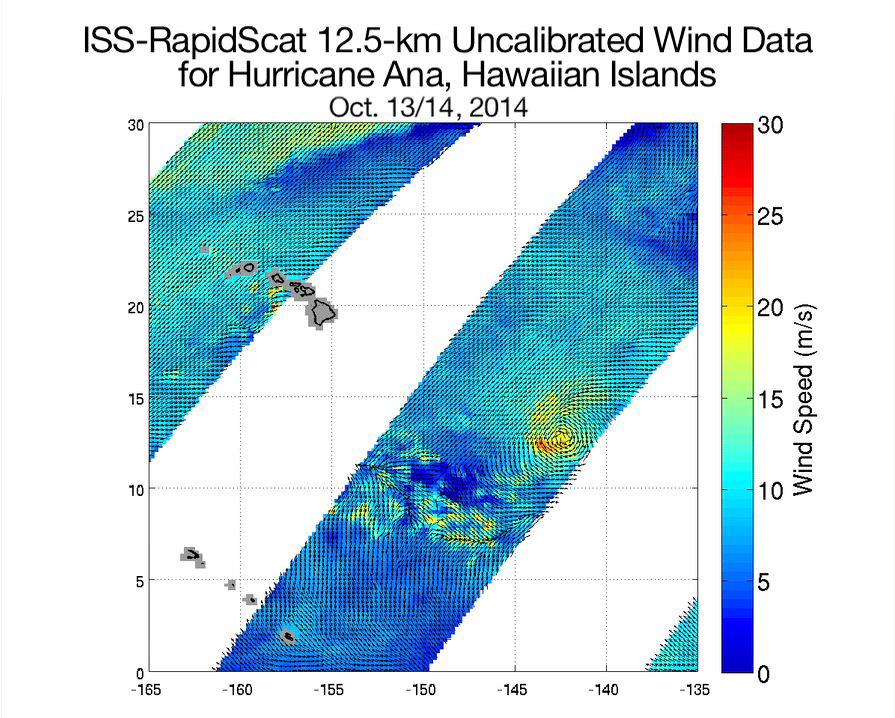
2014-10-21 | Earth |
RapidScat |
ISS-RapidScat |
895x718x3 |

|
|||||
|
|
2015-04-21 | Earth |
RapidScat |
ISS-RapidScat |
1064x706x3 |
|
|||||
|
|
2015-10-23 | Earth |
RapidScat |
ISS-RapidScat |
584x593x3 |
|
|||||
|
|
2015-11-06 | Earth |
RapidScat |
ISS-RapidScat |
2816x2134x3 |
|
|||||
|
|
2016-01-21 | Earth |
RapidScat |
ISS-RapidScat |
1532x696x3 |
|
|||||
|
|
2016-01-25 | Earth |
RapidScat |
ISS-RapidScat |
751x479x3 |
|
|||||
|
|
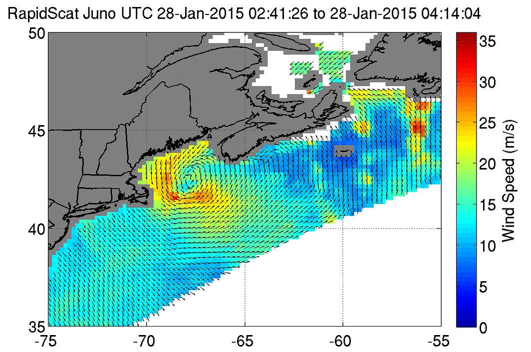
2016-01-28 | Earth |
RapidScat |
ISS-RapidScat |
682x593x3 |
|
|||||
|
|
2022-10-11 | Earth |
S-MODE |
2844x1599x3 | |

|
|||||
|
|
2022-10-11 | Earth |
S-MODE |
2817x1582x3 | |
|
|||||
|
|
2022-10-11 | Earth |
S-MODE |
4032x3024x3 | |

|
|||||
|
|
2013-06-27 | Earth |
Seasat |
999x654x3 | |
|
|||||
|
|
2014-03-18 | Earth |
Seasat |
Synthetic Aperture Radar (SAR) |
3000x6407x3 |
|
|
|||||
|
|
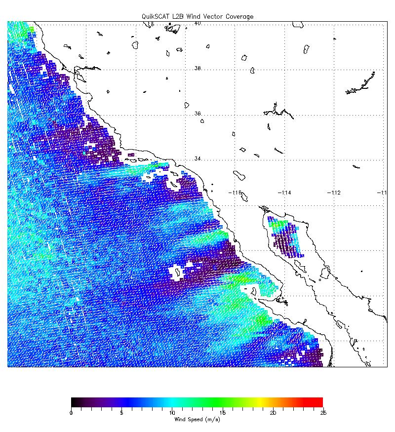
2003-02-24 | Earth |
SeaWinds |
SeaWinds Scatterometer |
3956x1978x3 |
|
|||||
|
|
2020-12-10 | Earth |
Sentinel-6/Jason-CS |
2600x1849x3 | |
|
|||||
|
|
2020-12-10 | Earth |
Sentinel-6/Jason-CS |
1216x900x3 | |
|
|||||
|
|
2021-06-21 | Earth |
Sentinel-6/Jason-CS |
1536x1024x3 | |

|
|||||
|
|
2023-05-12 | Earth |
Sentinel-6/Jason-CS |
875x415x3 | |
|
|||||
|
|
2023-10-18 | Earth |
Sentinel-6/Jason-CS |
1586x783x3 | |
|
|||||
|
|
2000-11-04 | Earth |
Shuttle Imaging Radar A (SIR-A) |
2452x3228x3 | |

|
|||||
|
|
2000-11-14 | Earth |
Shuttle Imaging Radar A (SIR-A) |
1152x894x3 | |
|
|||||
|
|
2002-10-25 | Earth |
Shuttle Radar Topography Mission (SRTM) |
C-Band Interferometric Radar |
1152x870x3 |

|
|||||
|
|
2002-10-25 | Earth |
Shuttle Radar Topography Mission (SRTM) |
C-Band Interferometric Radar |
1152x870x3 |

|
|||||
|
|
2000-02-14 | Earth |
Shuttle Radar Topography Mission (SRTM) |
C-Band Interferometric Radar |
2400x2781x3 |
|
|||||
|
|
2000-02-14 | Earth |
Shuttle Radar Topography Mission (SRTM) |
C-Band Interferometric Radar |
1890x2270x1 |
|
|||||
|
|
2000-02-14 | Earth |
Shuttle Radar Topography Mission (SRTM) |
C-Band Interferometric Radar |
2257x2887x1 |

|
|||||
|
|
2000-02-15 | Earth |
Shuttle Radar Topography Mission (SRTM) |
C-Band Interferometric Radar |
2056x1194x3 |
|
|||||
|
|
2000-02-15 | Earth |
Shuttle Radar Topography Mission (SRTM) |
C-Band Interferometric Radar |
2062x1194x3 |

|
|||||
|
|
2000-02-15 | Earth |
Shuttle Radar Topography Mission (SRTM) |
C-Band Interferometric Radar |
2400x2938x3 |

|
|||||
|
|
2000-02-16 | Earth |
Shuttle Radar Topography Mission (SRTM) |
C-Band Interferometric Radar |
1383x962x3 |
|
|||||
|
|
2000-02-16 | Earth |
Shuttle Radar Topography Mission (SRTM) |
C-Band Interferometric Radar |
2384x3021x3 |
|
|||||
|
|
2000-02-16 | Earth |
Shuttle Radar Topography Mission (SRTM) |
C-Band Interferometric Radar |
1881x2650x3 |
|
|||||
|
|
2000-02-17 | Earth |
Shuttle Radar Topography Mission (SRTM) |
C-Band Interferometric Radar |
1059x722x3 |
|
|||||
|
|
2000-02-17 | Earth |
Shuttle Radar Topography Mission (SRTM) |
C-Band Interferometric Radar |
1749x4787x3 |
|
|
|||||
|
|
2000-02-17 | Earth |
Shuttle Radar Topography Mission (SRTM) |
C-Band Interferometric Radar |
1357x982x3 |
|
|||||
|
|
2000-02-17 | Earth |
Shuttle Radar Topography Mission (SRTM) |
C-Band Interferometric Radar |
1749x4787x3 |
|
|
|||||
|
|
2000-02-17 | Earth |
Shuttle Radar Topography Mission (SRTM) |
C-Band Interferometric Radar |
1228x1093x3 |

|
|||||
|
|
2000-02-17 | Earth |
Shuttle Radar Topography Mission (SRTM) |
C-Band Interferometric Radar |
1228x1093x3 |
|
|||||
|
|
2000-03-13 | Earth |
Shuttle Radar Topography Mission (SRTM) |
C-Band Interferometric Radar |
2496x2447x3 |
|
|||||
|
|
2000-02-18 | Earth |
Shuttle Radar Topography Mission (SRTM) |
C-Band Interferometric Radar |
1856x1852x3 |
|
|||||
|
|
2000-02-18 | Earth |
Shuttle Radar Topography Mission (SRTM) |
C-Band Interferometric Radar |
737x797x3 |
|
|||||
|
|
2000-02-19 | Earth |
Shuttle Radar Topography Mission (SRTM) |
C-Band Interferometric Radar |
1793x1314x1 |
|
|||||
|
|
2000-02-19 | Earth |
Shuttle Radar Topography Mission (SRTM) |
C-Band Interferometric Radar |
2273x1515x3 |
|
|||||
|
|
2000-02-19 | Earth |
Shuttle Radar Topography Mission (SRTM) |
C-Band Interferometric Radar |
1319x1062x3 |

|
|||||
|
|
2000-02-19 | Earth |
Shuttle Radar Topography Mission (SRTM) |
C-Band Interferometric Radar |
1877x1676x3 |
|
|||||
|
|
2000-02-20 | Earth |
Shuttle Radar Topography Mission (SRTM) |
C-Band Interferometric Radar |
1965x1347x3 |
|
|||||
|
|
2000-02-20 | Earth |
Shuttle Radar Topography Mission (SRTM) |
C-Band Interferometric Radar |
1634x1072x3 |

|
|||||
|
|
2000-02-21 | Earth |
Shuttle Radar Topography Mission (SRTM) |
C-Band Interferometric Radar |
1252x2352x1 |
|
|||||
|
|
2000-02-21 | Earth |
Shuttle Radar Topography Mission (SRTM) |
C-Band Interferometric Radar |
1929x1800x3 |
|
|||||
|
|
2000-02-21 | Earth |
Shuttle Radar Topography Mission (SRTM) |
C-Band Interferometric Radar |
1603x1181x3 |

|
|||||
|
|
2000-03-10 | Earth |
Shuttle Radar Topography Mission (SRTM) |
C-Band Interferometric Radar |
2482x661x3 |
|
|||||
|
|
2000-03-28 | Earth |
Shuttle Radar Topography Mission (SRTM) |
C-Band Interferometric Radar |
1176x710x3 |

|
|||||
|
|
2000-04-06 | Earth |
Shuttle Radar Topography Mission (SRTM) |
C-Band Interferometric Radar |
2197x2400x3 |
|
|||||
|
|
2000-05-18 | Earth |
Shuttle Radar Topography Mission (SRTM) |
C-Band Interferometric Radar |
1416x2113x3 |

|
|||||
|
|
2000-06-01 | Earth |
Shuttle Radar Topography Mission (SRTM) |
C-Band Interferometric Radar |
1353x2000x3 |
|
|||||

|
 |
|
|
|
|
|
|
|
|
|

|
| 1-100 | 101-200 | 201-300 | 301-400 | 401-500 | 501-600 | 601-700 | 701-800 | 801-900 | 901-1000 |
| Currently displaying images: 1101 - 1200 of 2593 |