|
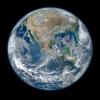
Your search criteria found 2277 images Target is Earth |
| My List |
Addition Date | Target |
Mission
|
Instrument | Size |

|
2021-06-08 | Earth |
Terra |
ASTER |
3101x3836x3 |
|
|||||
|
|
2021-06-22 | Earth |
Terra |
ASTER |
2000x1700x3 |
|
|||||
|
|
2021-07-06 | Earth |
Terra |
ASTER |
2460x2205x3 |
|
|||||
|
|
2021-07-16 | Earth |
Terra |
ASTER |
3909x3210x3 |
|
|||||
|
|
2021-08-18 | Earth |
Terra |
ASTER |
1707x2151x3 |
|
|||||
|
|
2021-08-24 | Earth |
Terra |
MISR |
4608x2817x3 |
|
|||||
|
|
2021-08-27 | Earth |
Terra |
ASTER |
1353x1049x3 |
|
|||||
|
|
2021-08-30 | Earth |
Terra |
ASTER |
1600x1800x3 |
|
|||||
|
|
2021-09-03 | Earth |
Terra |
ASTER |
852x868x3 |
|
|||||
|
|
2021-09-23 | Earth |
Terra |
ASTER |
1120x866x3 |
|
|||||
|
|
2021-10-11 | Earth |
Terra |
ASTER |
1843x2016x3 |
|
|||||
|
|
2021-10-14 | Earth |
Terra |
ASTER |
1702x1525x3 |
|
|||||
|
|
2021-10-21 | Earth |
Terra |
ASTER |
975x1043x3 |
|
|||||
|
|
2021-11-08 | Earth |
Terra |
ASTER |
2420x2809x3 |
|
|||||
|
|
2021-11-23 | Earth |
Terra |
ASTER |
2083x1542x3 |

|
|||||
|
|
2021-12-10 | Earth |
Terra |
ASTER |
1895x1216x3 |

|
|||||
|
|
2022-01-04 | Earth |
Terra |
ASTER |
710x928x3 |

|
|||||
|
|
2022-01-05 | Earth |
Terra |
ASTER |
1278x635x3 |
|
|||||
|
|
2022-01-21 | Earth |
Terra |
ASTER |
1688x1119x3 |
|
|||||
|
|
2022-02-04 | Earth |
Terra |
ASTER |
3365x3681x3 |

|
|||||
|
|
2022-02-22 | Earth |
Terra |
ASTER |
2646x2910x3 |
|
|||||
|
|
2022-03-08 | Earth |
Terra |
ASTER |
5856x5207x3 |
|
|||||
|
|
2022-03-23 | Earth |
Terra |
ASTER |
2585x2251x3 |
|
|||||
|
|
2022-04-05 | Earth |
Terra |
ASTER |
2500x1700x3 |
|
|||||
|
|
2022-04-19 | Earth |
Terra |
ASTER |
1015x977x3 |

|
|||||
|
|
2022-05-17 | Earth |
Terra |
ASTER |
2051x2656x3 |
|
|||||
|
|
2022-05-26 | Earth |
Terra |
ASTER |
2326x1369x3 |
|
|||||
|
|
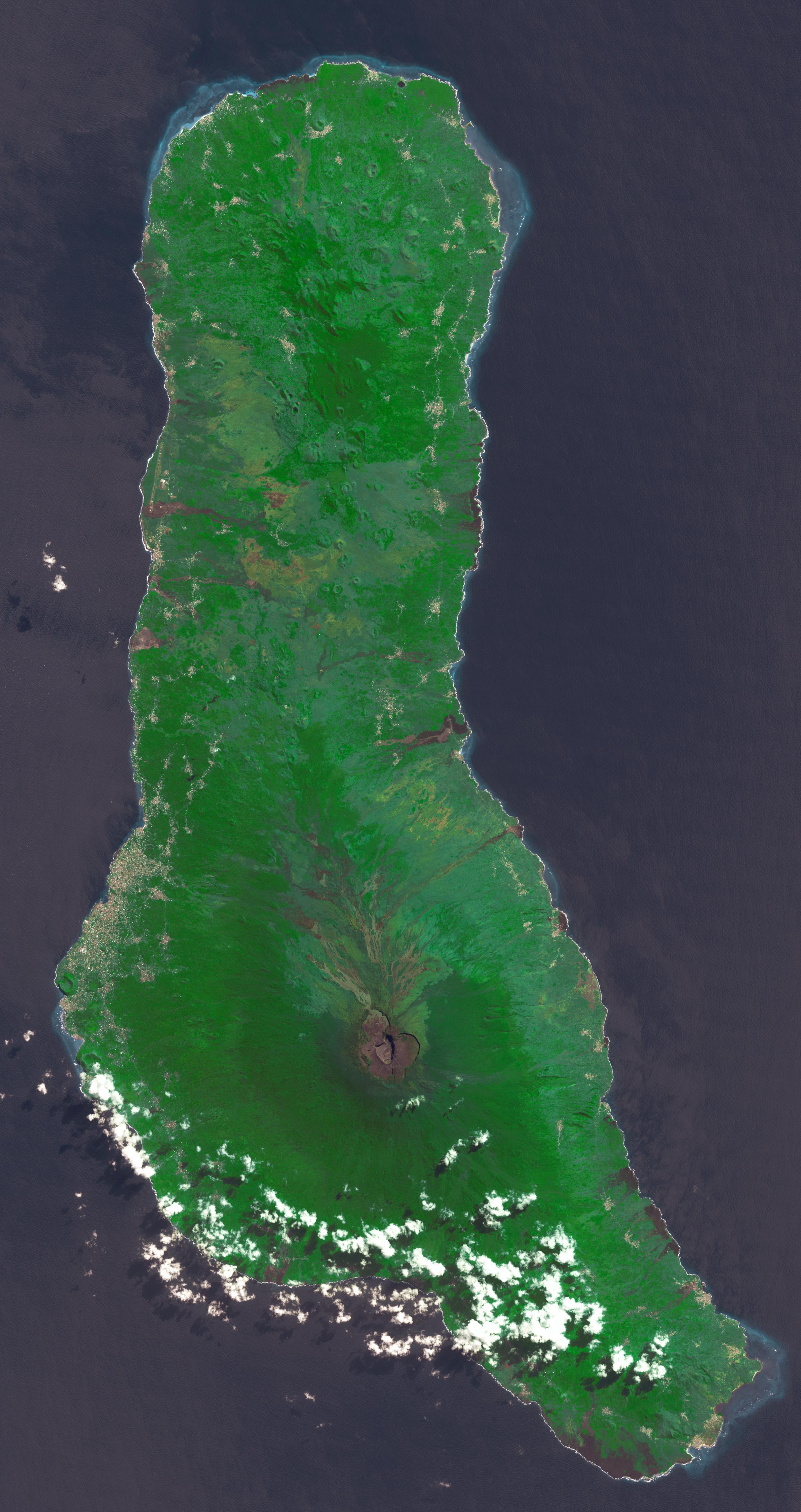
2022-06-27 | Earth |
Terra |
ASTER |
1101x1054x3 |
|
|||||
|
|
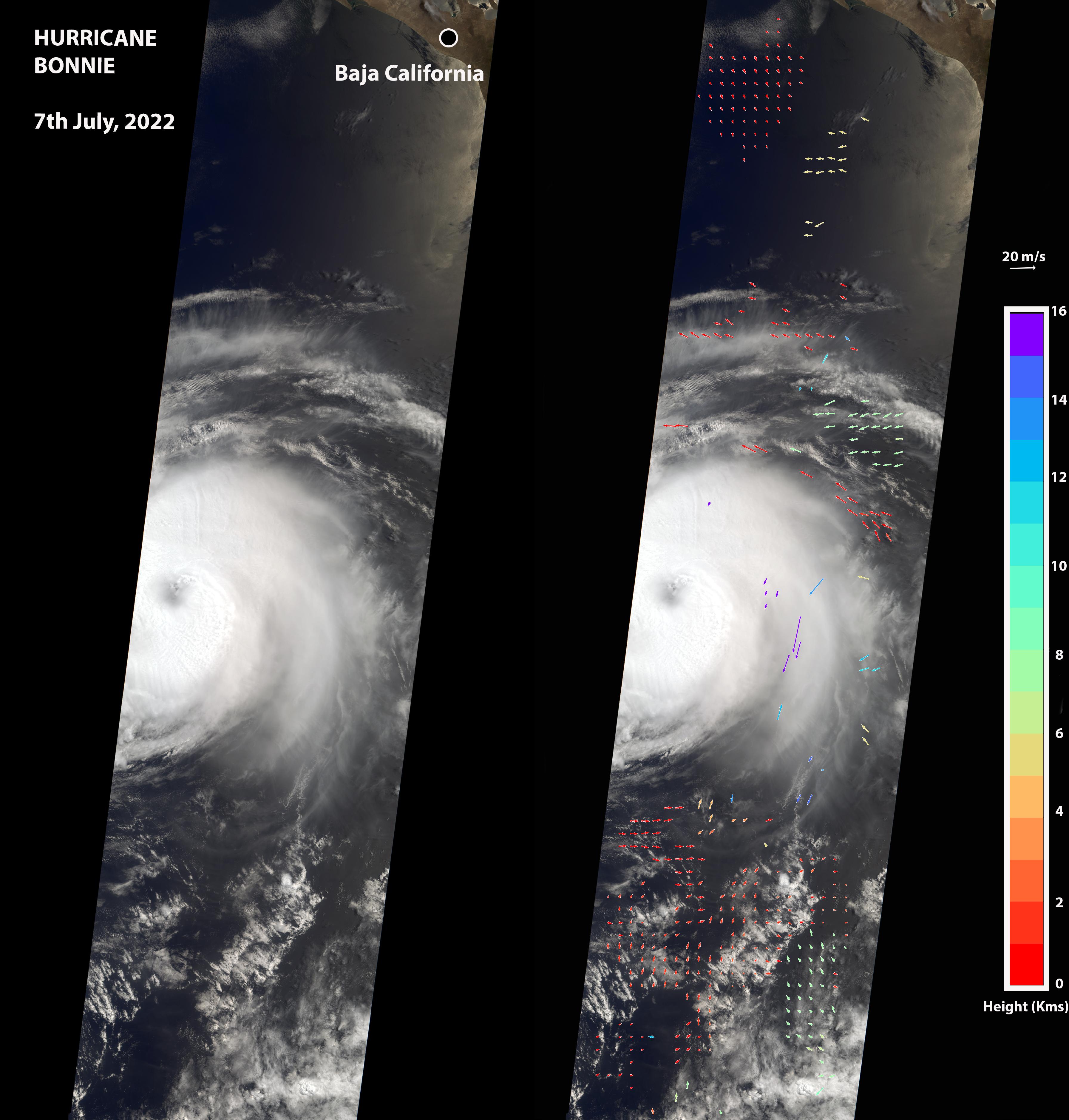
2022-07-08 | Earth |
Terra |
MISR |
3584x3754x3 |
|
|||||
|
|
2022-07-21 | Earth |
Terra |
ASTER |
2382x4495x3 |

|
|||||
|
|
2022-07-26 | Earth |
Terra |
MISR |
3500x1029x3 |
|
|||||
|
|
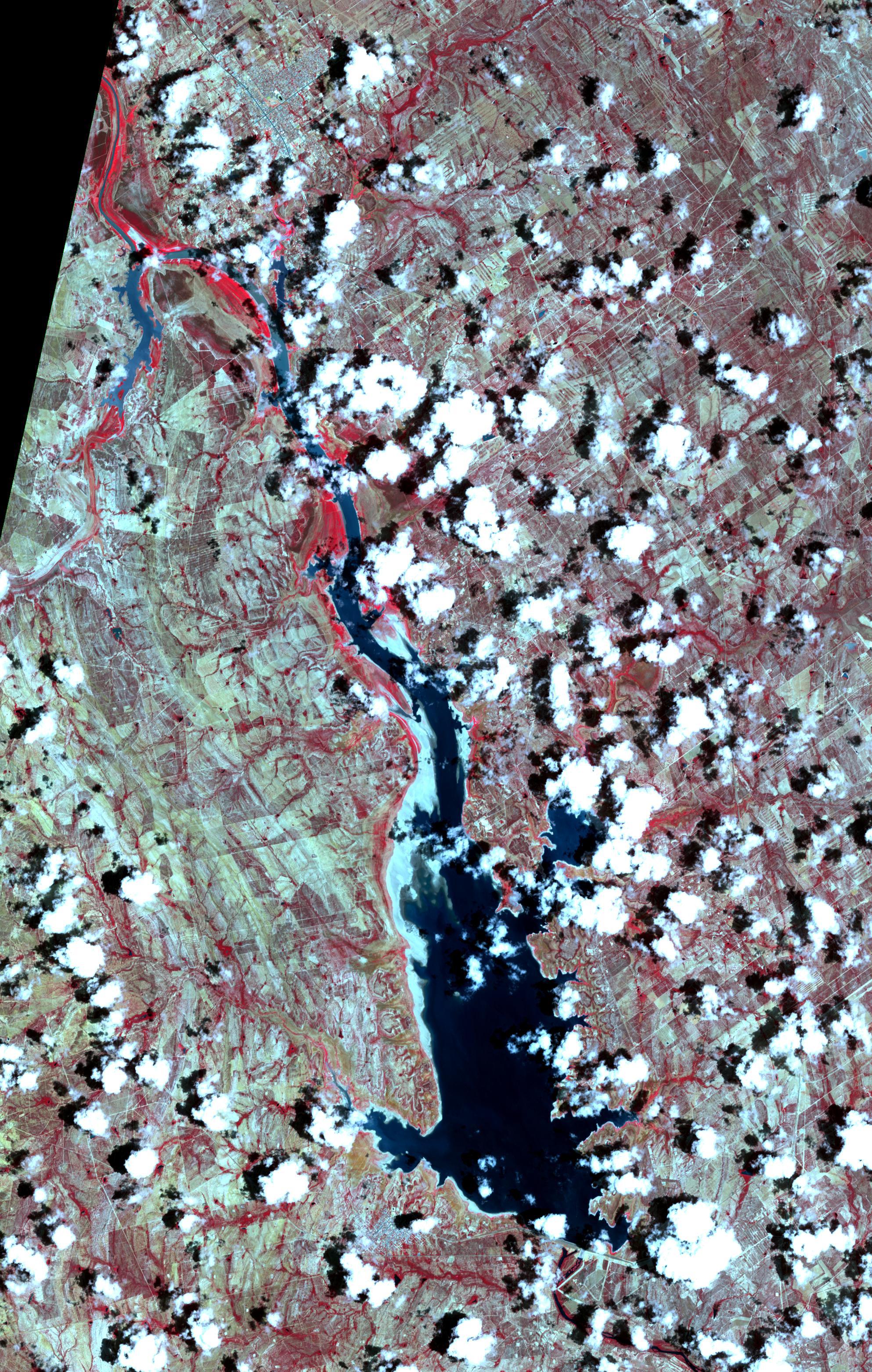
2022-07-28 | Earth |
Terra |
ASTER |
2533x1508x3 |
|
|||||
|
|
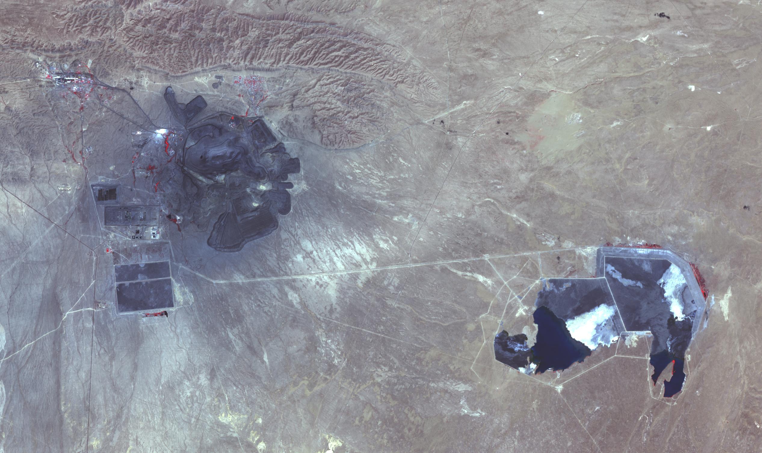
2022-08-23 | Earth |
Terra |
ASTER |
1986x3125x3 |
|
|||||
|
|
2022-08-23 | Earth |
Terra |
ASTER |
2064x971x3 |

|
|||||
|
|
2022-09-30 | Earth |
Terra |
MISR |
5504x6001x3 |
|
|||||
|
|
2022-10-19 | Earth |
Terra |
ASTER |
898x768x3 |
|
|||||
|
|
2022-12-06 | Earth |
Terra |
ASTER |
2985x2730x3 |
|
|||||
|
|
2022-12-22 | Earth |
Terra |
ASTER |
610x686x3 |

|
|||||
|
|
2023-01-10 | Earth |
Terra |
ASTER |
1657x1335x3 |
|
|||||
|
|
2023-01-24 | Earth |
Terra |
ASTER |
384x458x3 |
|
|||||
|
|
2023-02-16 | Earth |
Terra |
ASTER |
1506x2042x3 |
|
|||||
|
|
2023-02-27 | Earth |
Terra |
ASTER |
2505x1468x3 |
|
|||||
|
|
2023-03-16 | Earth |
Terra |
ASTER |
700x450x3 |
|
|||||
|
|
2023-03-23 | Earth |
Terra |
ASTER |
1182x1136x3 |

|
|||||
|
|
2023-04-12 | Earth |
Terra |
ASTER |
1443x1062x3 |
|
|||||
|
|
2023-04-27 | Earth |
Terra |
ASTER |
1686x939x3 |

|
|||||
|
|
2023-05-25 | Earth |
Terra |
ASTER |
1413x1143x3 |
|
|||||
|
|
2023-06-01 | Earth |
Terra |
ASTER |
1400x1176x3 |

|
|||||
|
|
2023-06-22 | Earth |
Terra |
2741x2514x3 | |
|
|||||
|
|
2023-07-18 | Earth |
Terra |
ASTER |
4000x3303x3 |
|
|||||
|
|
2023-08-08 | Earth |
Terra |
ASTER |
318x313x3 |
|
|||||
|
|
2023-08-17 | Earth |
Terra |
ASTER |
2557x4344x3 |

|
|||||
|
|
2023-09-11 | Earth |
Terra |
ASTER |
3257x2677x3 |
|
|||||
|
|
2023-10-18 | Earth |
Terra |
ASTER |
1528x1825x3 |
|
|||||
|
|
2023-11-03 | Earth |
Terra |
ASTER |
3000x1800x3 |
|
|||||
|
|
2023-12-14 | Earth |
Terra |
ASTER |
1600x1900x3 |

|
|||||
|
|
2024-01-11 | Earth |
Terra |
ASTER |
1348x1320x3 |

|
|||||
|
|
2024-01-29 | Earth |
Terra |
ASTER |
2700x3500x3 |

|
|||||
|
|
2024-02-15 | Earth |
Terra |
ASTER |
2016x1184x3 |
|
|||||
|
|
2024-02-27 | Earth |
Terra |
ASTER |
546x575x3 |
|
|||||
|
|
2024-03-21 | Earth |
Terra |
ASTER |
1578x1514x3 |

|
|||||
|
|
2024-03-26 | Earth |
Terra |
ASTER |
1639x1333x3 |

|
|||||
|
|
2024-03-29 | Earth |
Terra |
ASTER |
800x600x3 |
|
|||||
|
|
2023-09-19 | Earth |
SWOT |
KaRIn |
1570x1870x3 |
|
|||||
|
|
2023-10-30 | Earth |
SWOT |
KaRIn |
1920x1080x3 |

|
|||||
|
|
2023-11-08 | Earth |
SWOT |
KaRIn |
1264x1029x3 |
|
|||||
|
|
2024-03-05 | Earth |
SWOT |
KaRIn |
1440x1090x3 |
|
|||||
|
|
2024-04-15 | Earth |
SWOT |
KaRIn |
1440x1090x3 |
|
|||||
|
|
2022-11-14 | Earth |
Surface Water and Ocean Topography (SWOT) |
1920x1080x3 | |
|
|||||
|
|
2023-03-24 | Earth |
Surface Water and Ocean Topography (SWOT) |
KaRIn |
1440x1570x3 |
|
|||||
|
|
2023-03-24 | Earth |
Surface Water and Ocean Topography (SWOT) |
KaRIn |
787x879x3 |
|
|||||
|
|
2023-06-27 | Earth |
Surface Water and Ocean Topography (SWOT) |
1125x1122x3 | |
|
|||||
|
|
2023-08-30 | Earth |
Surface Water and Ocean Topography (SWOT) |
KaRIn |
2794x1934x3 |
|
|||||
|
|
2022-04-18 | Earth |
Surface Biology and Geology High-Frequency Time Series (SHIFT) |
4000x3000x3 | |

|
|||||
|
|
2022-04-18 | Earth |
Surface Biology and Geology High-Frequency Time Series (SHIFT) |
4810x2774x3 | |

|
|||||
|
|
2017-07-14 | Earth |
Suomi NPP Terra |
MODIS VIIRS |
1805x1350x1 |
|
|||||
|
|
2012-01-30 | Earth |
Suomi NPP |
VIIRS |
8000x8000x3 |
|
|||||
|
|
2023-08-08 | Earth |
Suomi NPP |
VIIRS |
1200x675x3 |

|
|||||
|
|
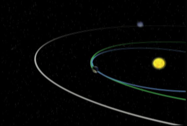
2005-12-22 | Earth |
Stardust |
714x481x3 | |

|
|||||
|
|
2005-12-22 | Earth |
Stardust |
600x444x3 | |
|
|||||
|
|
2005-12-22 | Earth |
Stardust |
717x417x3 | |
|
|||||
|
|
2005-12-22 | Earth |
Stardust |
715x481x3 | |
|
|||||
|
|
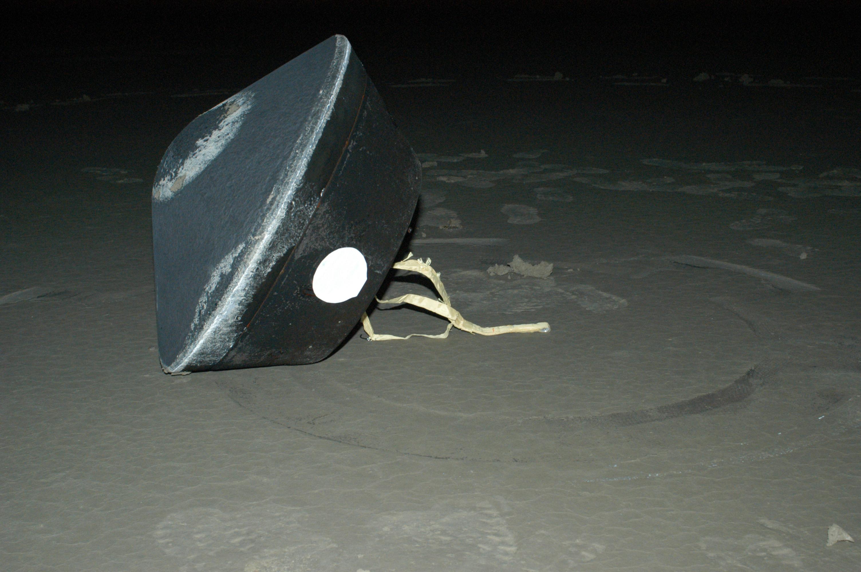
2006-01-17 | Earth |
Stardust |
Stardust Capsule |
3008x2000x3 |

|
|||||
|
|
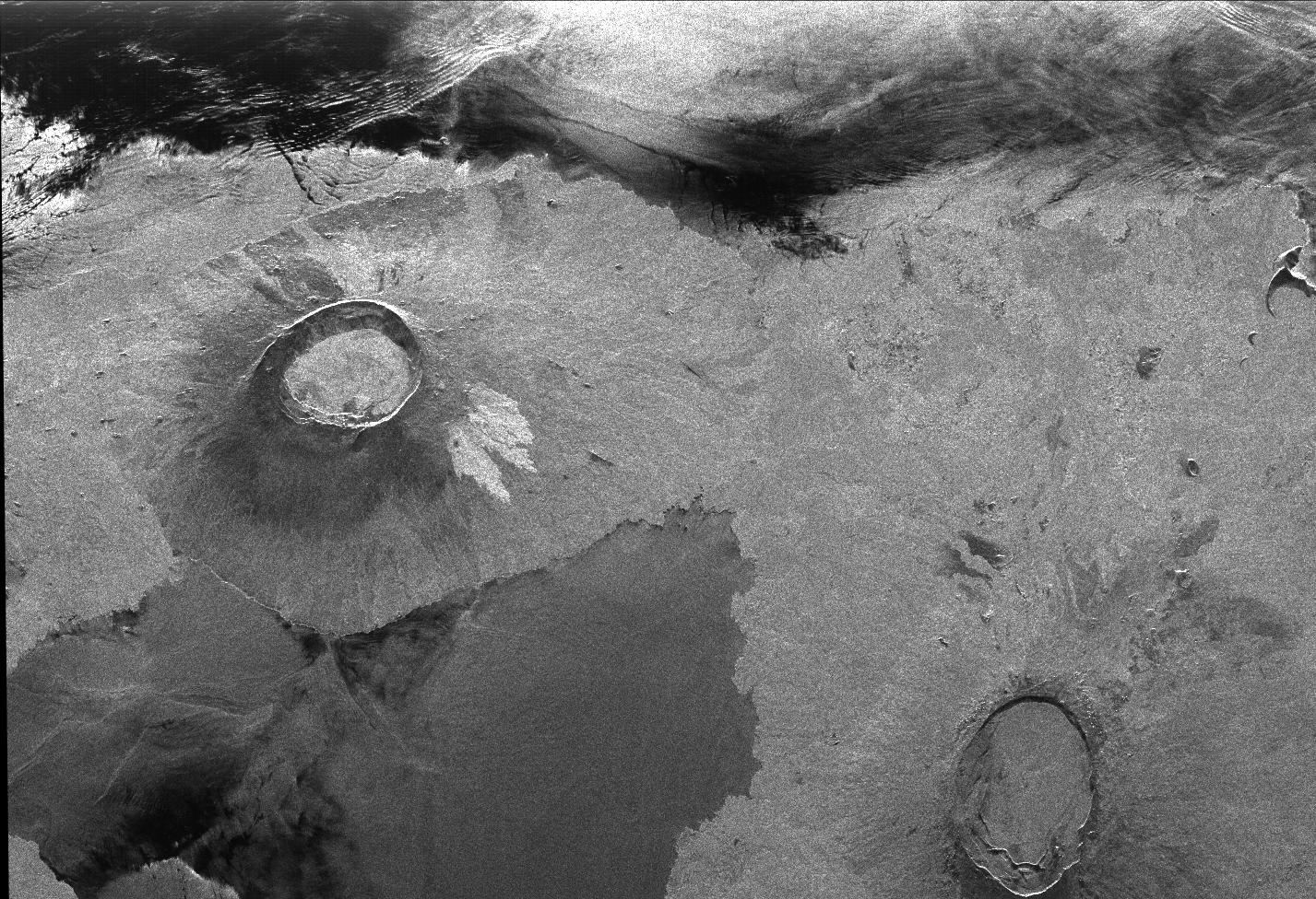
1996-10-23 | Earth |
Spaceborne Imaging Radar-C/X-Band Synthetic Aperture Radar |
L-Band Imaging Radar |
1427x976x1 |
|
|||||
|
|
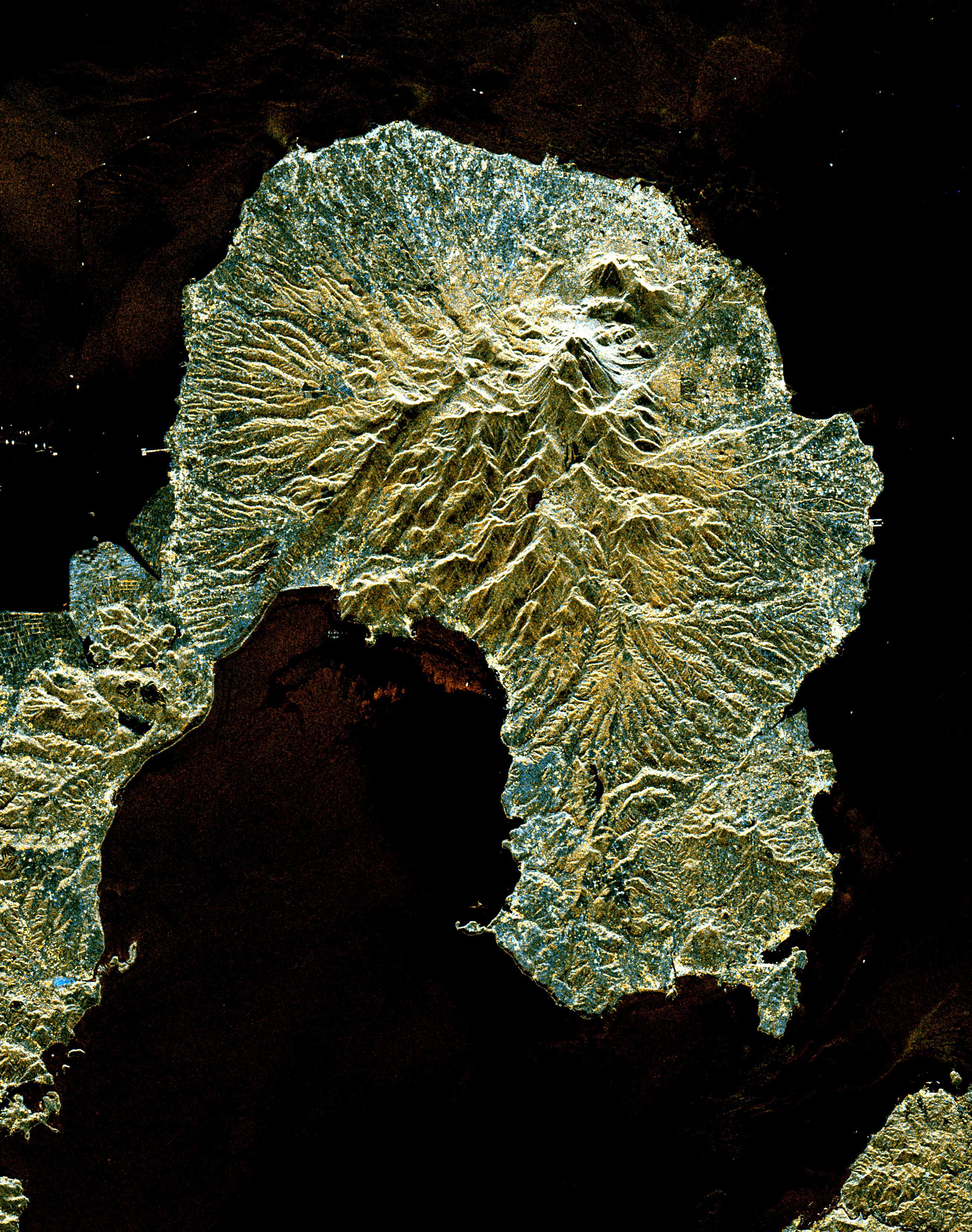
1996-11-13 | Earth |
Spaceborne Imaging Radar-C/X-Band Synthetic Aperture Radar |
Imaging Radar |
2910x2040x3 |
|
|||||
|
|
1996-11-13 | Earth |
Spaceborne Imaging Radar-C/X-Band Synthetic Aperture Radar |
Imaging Radar |
2620x3320x3 |
|
|||||
|
|
1996-11-13 | Earth |
Spaceborne Imaging Radar-C/X-Band Synthetic Aperture Radar |
Imaging Radar |
2732x4000x3 |
|
|||||
|
|
1998-04-06 | Earth |
Spaceborne Imaging Radar-C/X-Band Synthetic Aperture Radar |
L-Band Imaging Radar |
2100x1232x3 |
|
|||||
|
|
1998-03-16 | Earth |
Spaceborne Imaging Radar-C/X-Band Synthetic Aperture Radar |
L-Band Imaging Radar |
2282x2375x3 |
|
|||||
|
|
1998-03-16 | Earth |
Spaceborne Imaging Radar-C/X-Band Synthetic Aperture Radar |
L-Band Imaging Radar |
1571x1135x3 |
|
|||||
|
|
1998-04-06 | Earth |
Spaceborne Imaging Radar-C/X-Band Synthetic Aperture Radar |
L-Band Imaging Radar |
4001x3032x3 |
|
|||||
|
|
1998-04-14 | Earth |
Spaceborne Imaging Radar-C/X-Band Synthetic Aperture Radar |
Imaging Radar |
1943x4000x3 |
|
|
|||||
|
|
1998-04-09 | Earth |
Spaceborne Imaging Radar-C/X-Band Synthetic Aperture Radar |
Imaging Radar |
1409x1567x3 |
|
|||||
|
|
1998-04-28 | Earth |
Spaceborne Imaging Radar-C/X-Band Synthetic Aperture Radar |
Imaging Radar |
2188x1201x3 |
|
|||||
|
|
1999-04-15 | Earth |
Spaceborne Imaging Radar-C/X-Band Synthetic Aperture Radar |
Imaging Radar |
2010x1800x1 |
|
|||||
|
|
1998-04-28 | Earth |
Spaceborne Imaging Radar-C/X-Band Synthetic Aperture Radar |
Imaging Radar |
1660x3000x3 |

|
|||||
|
|
1998-04-28 | Earth |
Spaceborne Imaging Radar-C/X-Band Synthetic Aperture Radar |
Imaging Radar |
3930x2880x3 |
|
|||||
|
|
1998-04-14 | Earth |
Spaceborne Imaging Radar-C/X-Band Synthetic Aperture Radar |
Imaging Radar |
2430x3078x3 |
|
|||||
|
|
1998-04-14 | Earth |
Spaceborne Imaging Radar-C/X-Band Synthetic Aperture Radar |
Imaging Radar |
1676x4000x3 |
|
|
|||||
|
|
1998-04-14 | Earth |
Spaceborne Imaging Radar-C/X-Band Synthetic Aperture Radar |
Imaging Radar |
1950x3000x3 |
|
|||||

|
 |
|
|
|
|
|
|
|
|
|

|
| 1-100 | 101-200 | 201-300 | 301-400 | 401-500 | 501-600 | 601-700 | 701-800 | 801-900 | 901-1000 |
| Currently displaying images: 1001 - 1100 of 2277 |