|
Your search criteria found 149 images Mission |
| My List |
Addition Date | Target | Mission |
Instrument
|
Size |

|
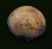
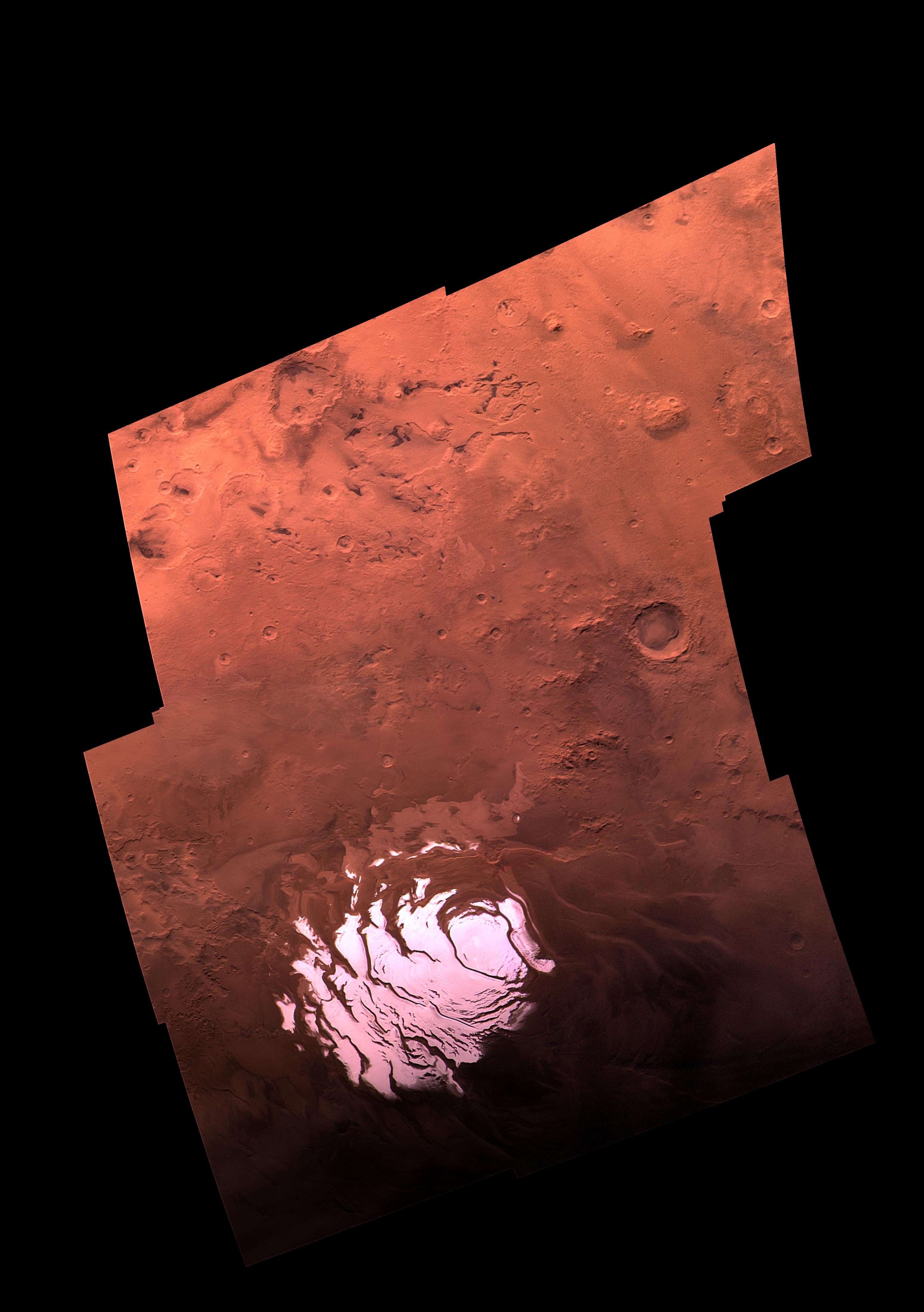
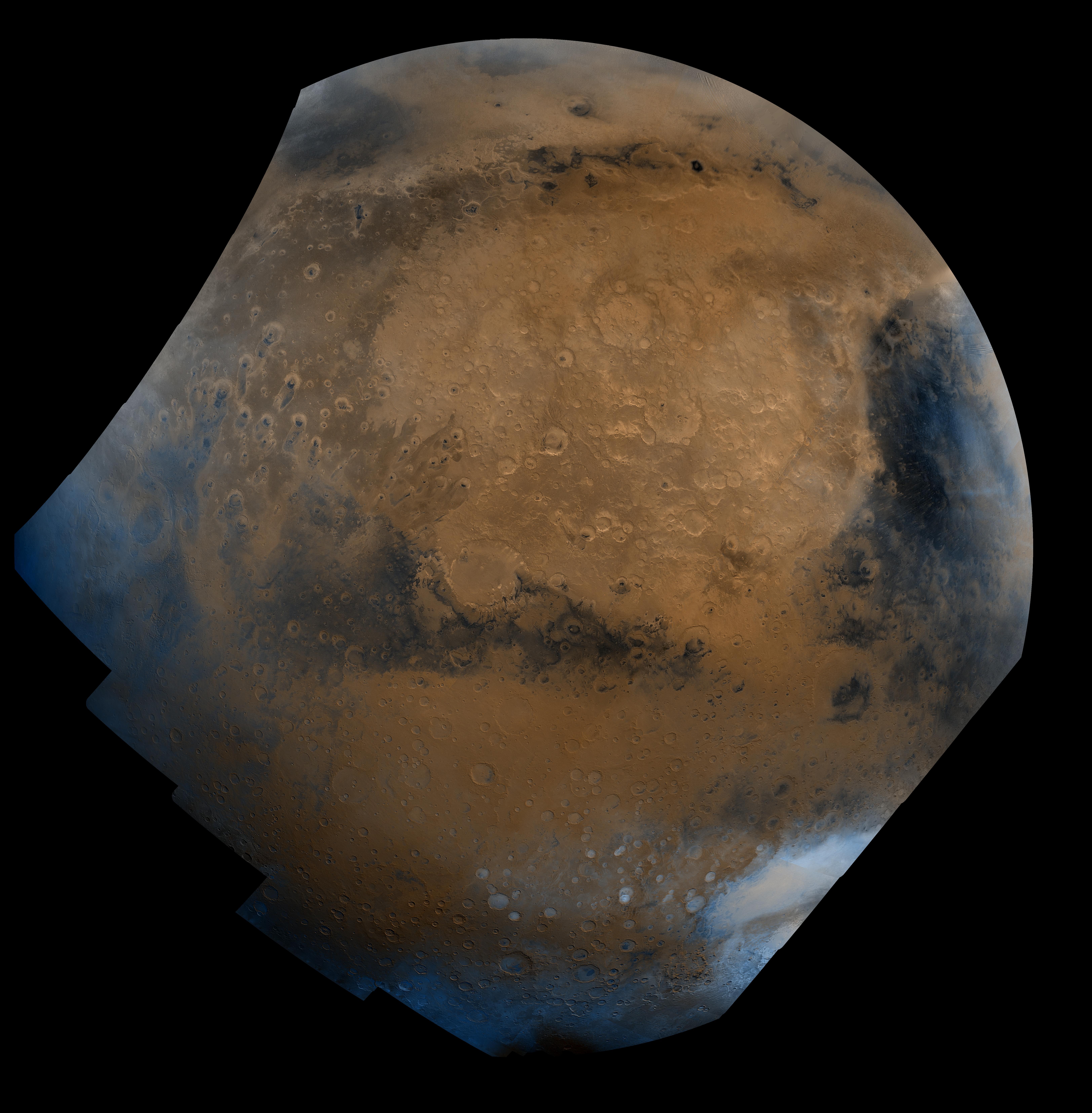
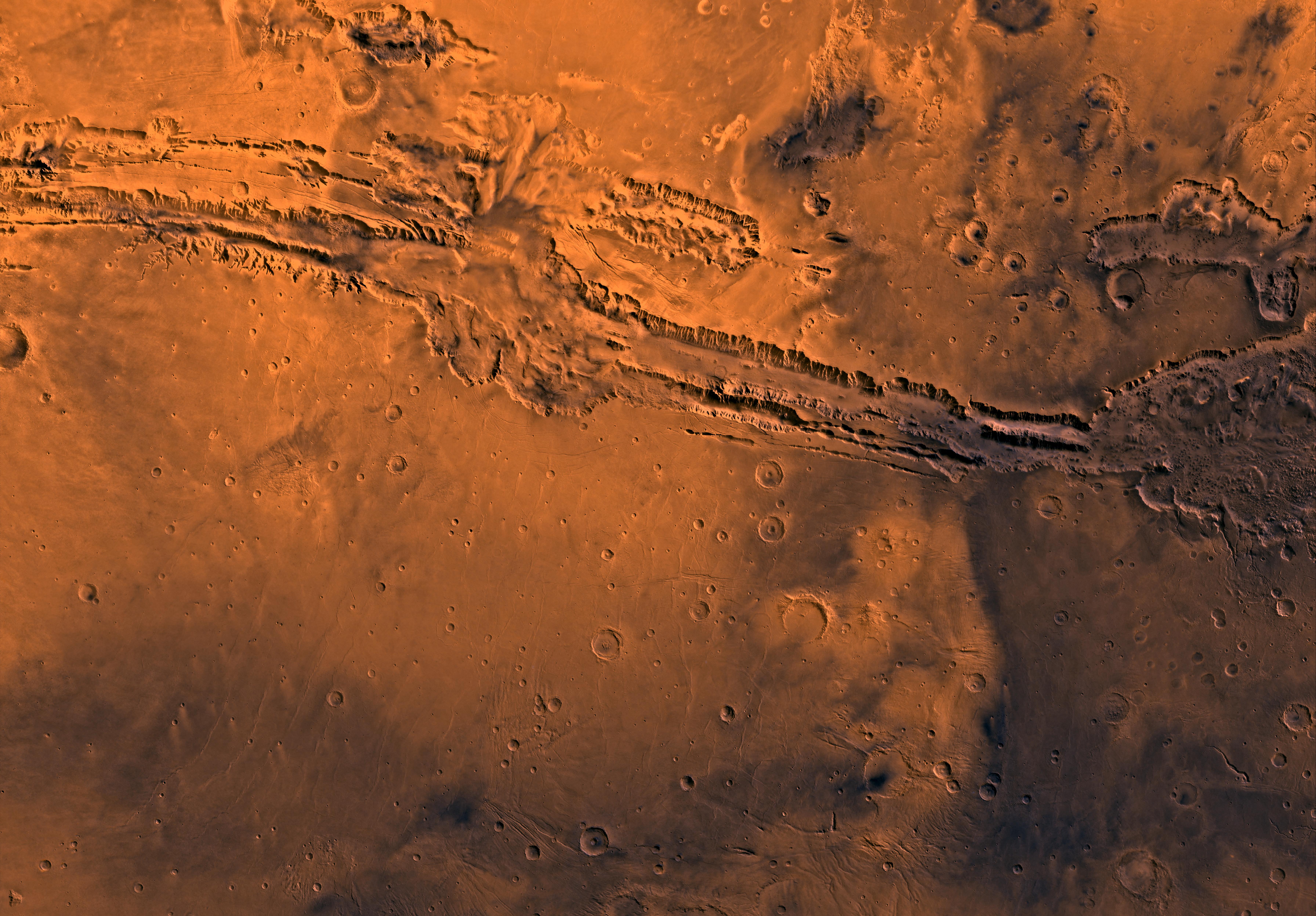
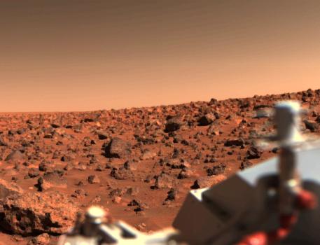
1998-06-03 | Mars |
Viking |
Visual Imaging Subsystem - Camera B |
6218x6653x3 |
|
|||||
|
|
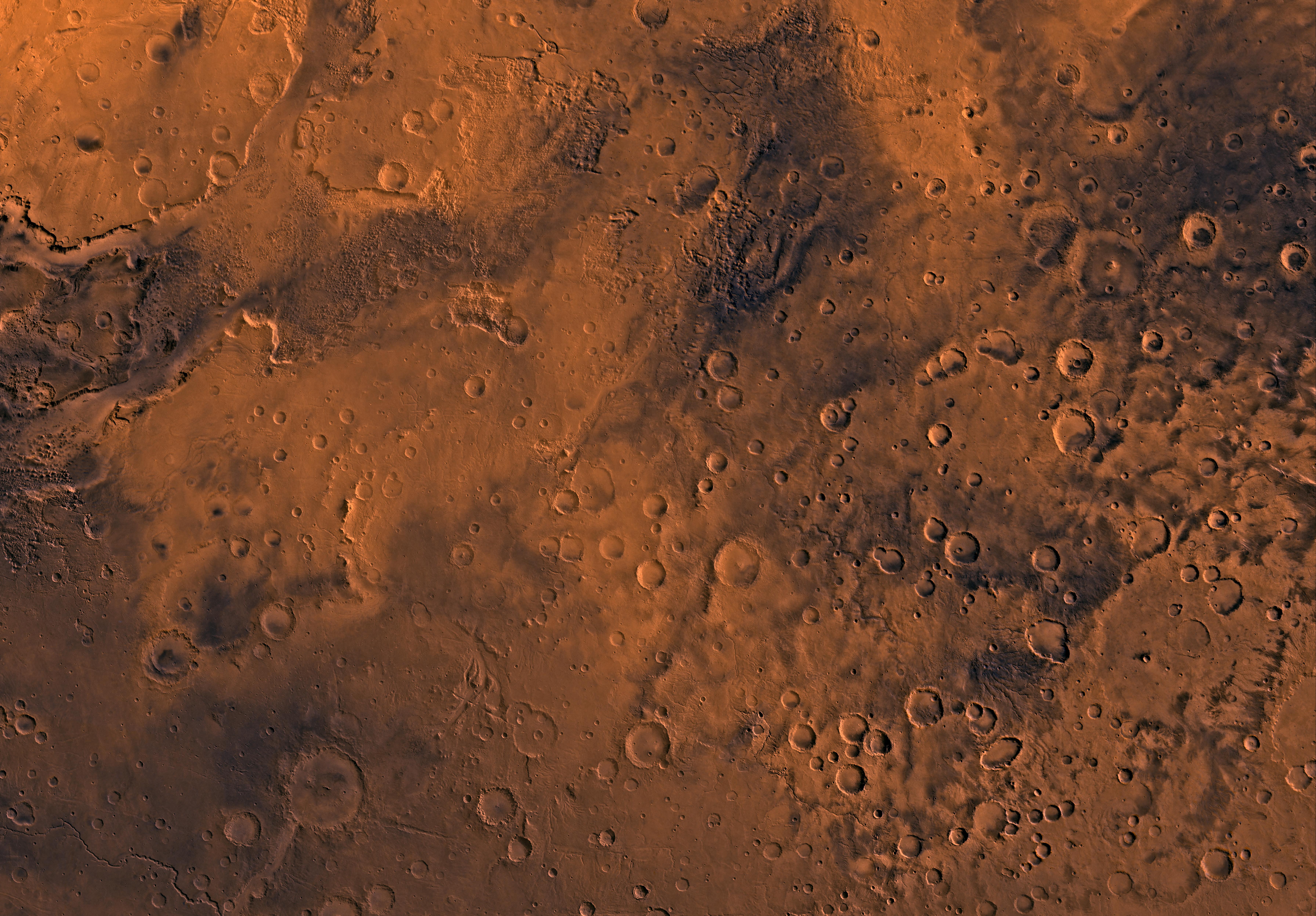
1998-06-03 | Mars |
Viking |
Visual Imaging Subsystem - Camera B |
6738x6502x3 |
|
|||||
|
|
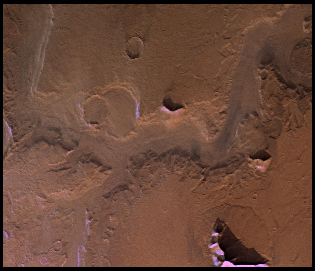
1998-06-04 | Mars |
Viking |
Visual Imaging Subsystem - Camera B |
1040x934x3 |
|
|||||
|
|
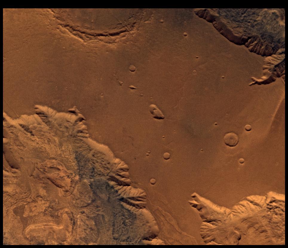
1998-06-04 | Mars |
Viking |
Visual Imaging Subsystem - Camera B |
1024x880x3 |
|
|||||
|
|
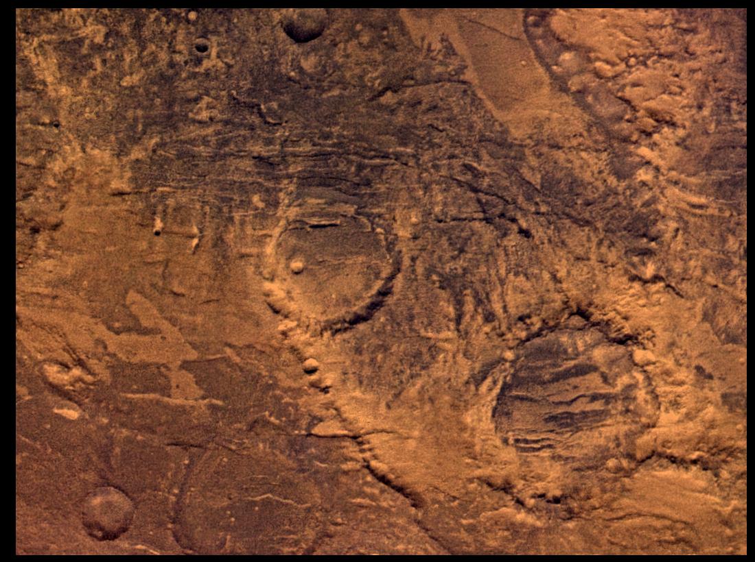
1998-06-04 | Mars |
Viking |
Visual Imaging Subsystem - Camera B |
1100x820x3 |
|
|||||
|
|
1998-06-04 | Mars |
Viking |
Visual Imaging Subsystem - Camera B |
964x832x3 |
|
|||||
|
|
1998-06-04 | Mars |
Viking |
Visual Imaging Subsystem - Camera B |
3100x4400x3 |
|
|||||
|
|
1998-06-04 | Mars |
Viking |
Visual Imaging Subsystem - Camera B |
1024x880x3 |
|
|||||
|
|
1998-06-04 | Mars |
Viking |
Visual Imaging Subsystem - Camera B |
964x832x3 |
|
|||||
|
|
1998-06-04 | Mars |
Viking |
Visual Imaging Subsystem - Camera B |
1100x820x3 |
|
|||||
|
|
1998-06-04 | Mars |
Viking |
Visual Imaging Subsystem - Camera B |
1040x934x3 |
|
|||||
|
|
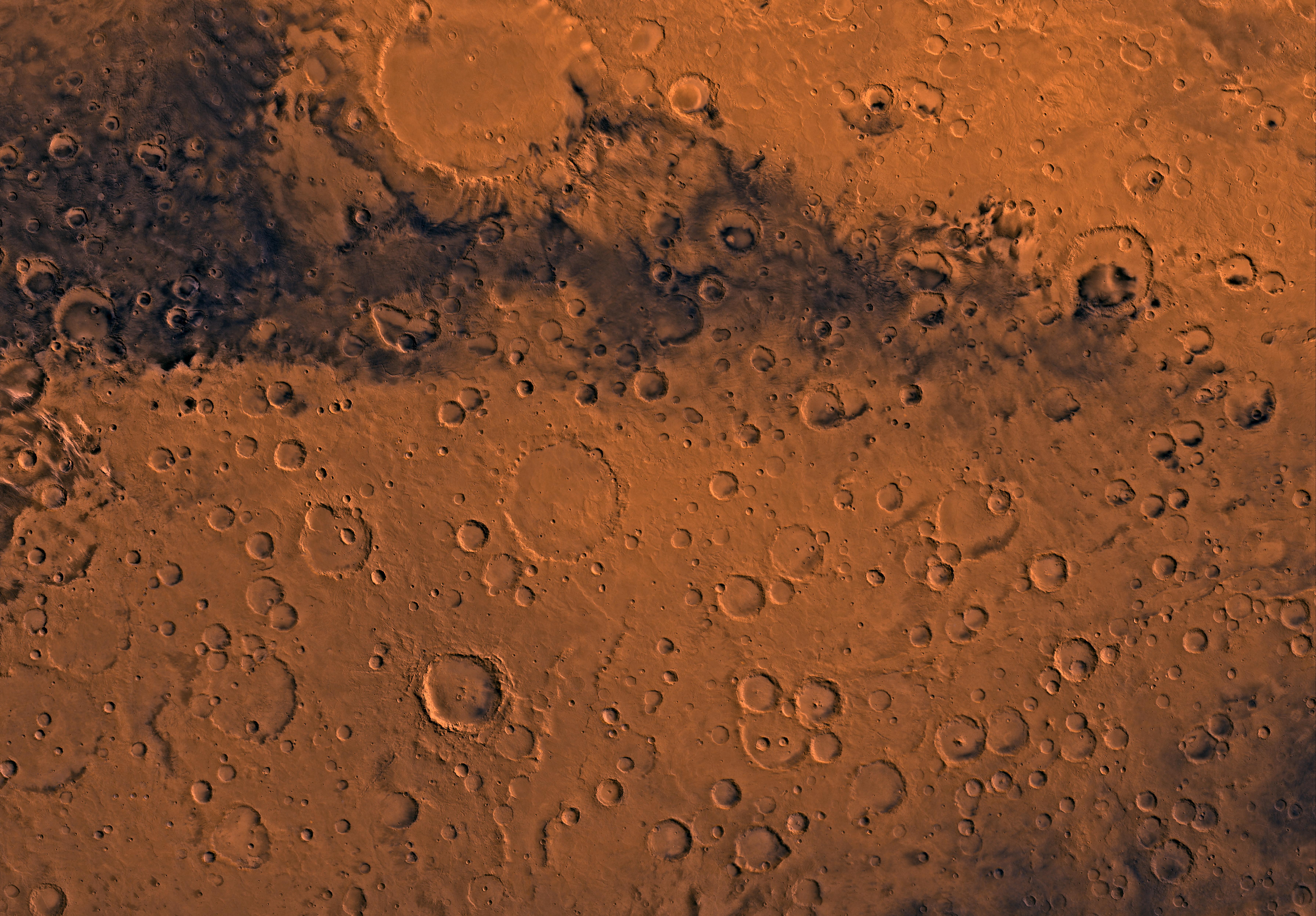
1998-06-08 | Mars |
Viking |
Visual Imaging Subsystem - Camera B |
6035x6580x3 |

|
|||||
|
|
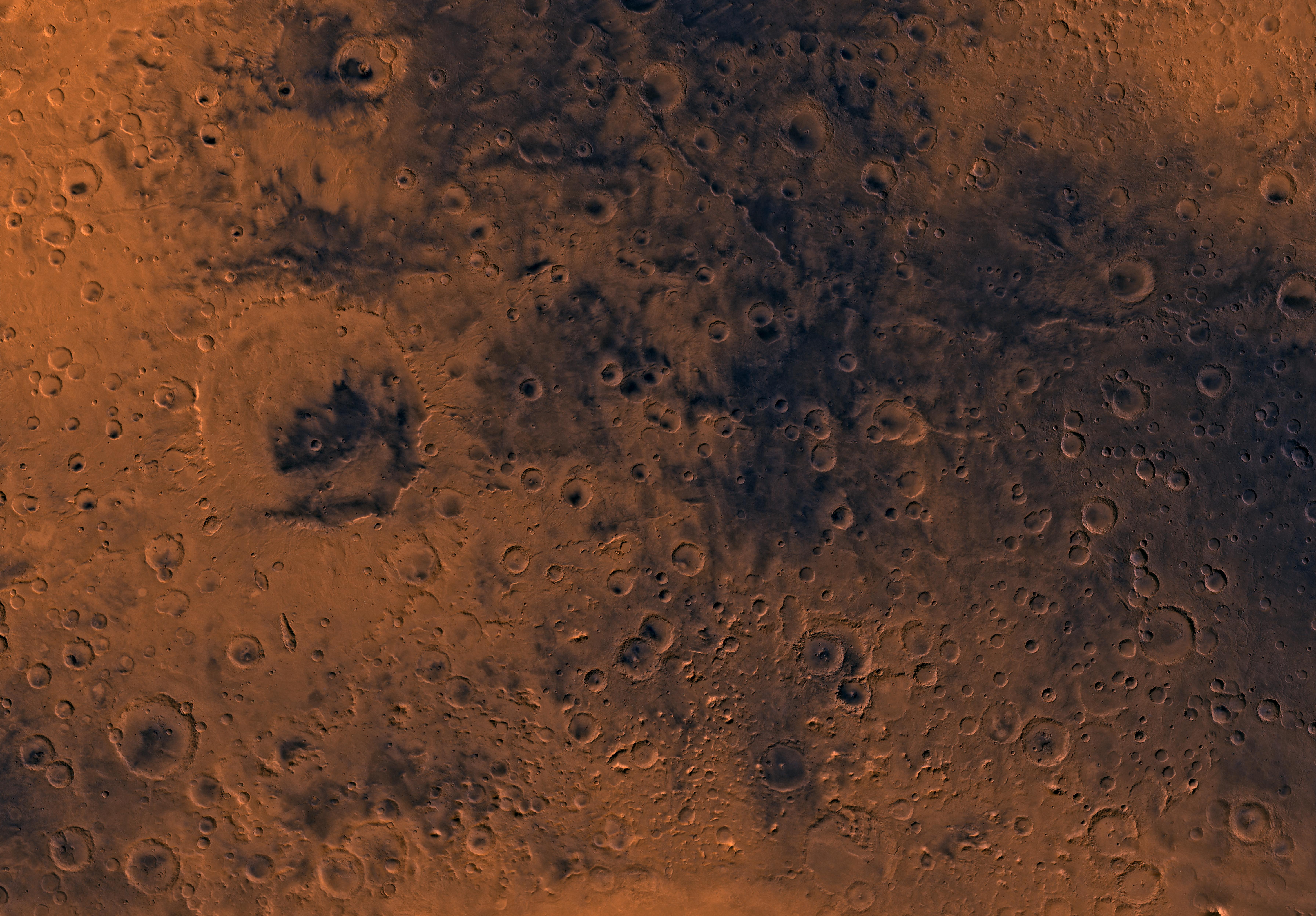
1998-06-08 | Mars |
Viking |
Visual Imaging Subsystem - Camera B |
5367x5053x3 |
|
|||||
|
|
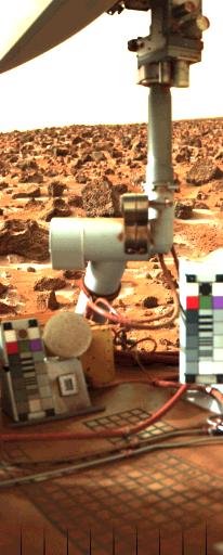
1996-06-03 | Mars |
Viking |
Visual Imaging Subsystem - Camera A |
6736x6359x3 |
|
|||||
|
|
1996-06-03 | Mars |
Viking |
Visual Imaging Subsystem - Camera A |
6496x6618x3 |
|
|||||
|
|
1996-06-03 | Mars |
Viking |
Visual Imaging Subsystem - Camera A |
3302x2781x3 |
|
|||||
|
|
1998-06-04 | Mars |
Viking |
Visual Imaging Subsystem - Camera A |
2048x1700x3 |

|
|||||
|
|
1998-06-04 | Mars |
Viking |
Visual Imaging Subsystem - Camera A |
1015x840x3 |
|
|||||
|
|
1998-06-04 | Mars |
Viking |
Visual Imaging Subsystem - Camera A |
6744x6744x3 |
|
|||||
|
|
1998-06-04 | Mars |
Viking |
Visual Imaging Subsystem - Camera A |
6994x5029x3 |
|
|||||
|
|
1998-06-04 | Mars |
Viking |
Visual Imaging Subsystem - Camera A |
6994x5029x3 |
|
|||||
|
|
1998-06-04 | Mars |
Viking |
Visual Imaging Subsystem - Camera A |
6994x5029x3 |
|
|||||
|
|
1998-06-04 | Mars |
Viking |
Visual Imaging Subsystem - Camera A |
6994x5029x3 |
|
|||||
|
|
1998-06-04 | Mars |
Viking |
Visual Imaging Subsystem - Camera A |
6994x5029x3 |
|
|||||
|
|
1998-06-05 | Mars |
Viking |
Visual Imaging Subsystem - Camera A |
6994x5029x3 |
|
|||||
|
|
1998-06-05 | Mars |
Viking |
Visual Imaging Subsystem - Camera A |
7170x4991x3 |

|
|||||
|
|
1998-06-05 | Mars |
Viking |
Visual Imaging Subsystem - Camera A |
7170x4991x3 |

|
|||||
|
|
1998-06-05 | Mars |
Viking |
Visual Imaging Subsystem - Camera A |
7170x4991x3 |
|
|||||
|
|
1998-06-05 | Mars |
Viking |
Visual Imaging Subsystem - Camera A |
7170x4991x3 |
|
|||||
|
|
1998-06-05 | Mars |
Viking |
Visual Imaging Subsystem - Camera A |
7170x4991x3 |
|
|||||
|
|
1998-06-05 | Mars |
Viking |
Visual Imaging Subsystem - Camera A |
7170x4991x3 |
|
|||||
|
|
1998-06-05 | Mars |
Viking |
Visual Imaging Subsystem - Camera A |
7170x4991x3 |
|
|||||
|
|
1998-06-05 | Mars |
Viking |
Visual Imaging Subsystem - Camera A |
7170x4991x3 |

|
|||||
|
|
1998-06-05 | Mars |
Viking |
Visual Imaging Subsystem - Camera A |
7170x4991x3 |
|
|||||
|
|
1998-06-05 | Mars |
Viking |
Visual Imaging Subsystem - Camera A |
7170x4991x3 |
|
|||||
|
|
1998-06-05 | Mars |
Viking |
Visual Imaging Subsystem - Camera A |
7170x4991x3 |

|
|||||
|
|
1998-06-05 | Mars |
Viking |
Visual Imaging Subsystem - Camera A |
7170x4991x3 |
|
|||||
|
|
1998-06-05 | Mars |
Viking |
Visual Imaging Subsystem - Camera A |
7170x4991x3 |

|
|||||
|
|
1998-06-05 | Mars |
Viking |
Visual Imaging Subsystem - Camera A |
7170x4991x3 |
|
|||||
|
|
1998-06-05 | Mars |
Viking |
Visual Imaging Subsystem - Camera A |
7170x4991x3 |
|
|||||
|
|
1998-06-05 | Mars |
Viking |
Visual Imaging Subsystem - Camera A |
7170x4991x3 |
|
|||||
|
|
1998-06-05 | Mars |
Viking |
Visual Imaging Subsystem - Camera A |
6994x5029x3 |
|
|||||
|
|
1998-06-05 | Mars |
Viking |
Visual Imaging Subsystem - Camera A |
6994x5029x3 |
|
|||||
|
|
1998-06-05 | Mars |
Viking |
Visual Imaging Subsystem - Camera A |
6994x5029x3 |
|
|||||
|
|
1998-06-05 | Mars |
Viking |
Visual Imaging Subsystem - Camera A |
6994x5029x3 |
|
|||||
|
|
1998-06-05 | Mars |
Viking |
Visual Imaging Subsystem - Camera A |
6994x5029x3 |
|
|||||
|
|
1998-06-05 | Mars |
Viking |
Visual Imaging Subsystem - Camera A |
6994x5029x3 |
|
|||||
|
|
1998-06-08 | Mars |
Viking |
Visual Imaging Subsystem - Camera A |
6744x6744x3 |
|
|||||
|
|
1998-06-08 | Mars |
Viking |
Visual Imaging Subsystem - Camera A |
6787x6787x3 |
|
|||||
|
|
1998-06-08 | Mars |
Viking |
Visual Imaging Subsystem - Camera A |
6787x6787x3 |
|
|||||
|
|
1998-06-08 | Mars |
Viking |
Visual Imaging Subsystem - Camera A |
6398x6398x3 |
|
|||||
|
|
1998-06-08 | Mars |
Viking |
Visual Imaging Subsystem - Camera A |
6398x6398x3 |

|
|||||
|
|
1998-06-08 | Mars |
Viking |
Visual Imaging Subsystem - Camera A |
6787x6787x3 |
|
|||||
|
|
1998-06-08 | Mars |
Viking |
Visual Imaging Subsystem - Camera A |
6787x6787x3 |
|
|||||
|
|
1998-06-08 | Mars |
Viking |
Visual Imaging Subsystem - Camera A |
6787x6787x3 |
|
|||||
|
|
1998-06-08 | Mars |
Viking |
Visual Imaging Subsystem - Camera A |
6787x6787x3 |
|
|||||
|
|
1998-06-08 | Mars |
Viking |
Visual Imaging Subsystem - Camera A |
3650x4608x3 |
|
|||||
|
|
1998-06-04 | Mars |
Viking |
Visual Imaging Subsystem - Camera A |
1015x840x3 |
|
|||||
|
|
1998-06-08 | Mars |
Viking |
Visual Imaging Subsystem - Camera A |
3352x3222x3 |
|
|||||
|
|
1998-04-02 | Mars |
Viking |
Visual Imaging Subsystem - Camera A |
640x472x1 |

|
|||||
|
|
2000-11-10 | Mars |
Viking |
Visual Imaging Subsystem - Camera A |
11649x5721x3 |
|
|||||
|
|
2003-02-05 | Mars |
Viking |
Visual Imaging Subsystem - Camera A |
2024x1919x3 |
|
|||||
|
|
2001-02-21 | Mars |
Viking |
Visual Imaging Subsystem |
5072x4499x3 |
|
|||||
|
|
2003-04-11 | Mars |
Viking |
Visual Imaging Subsystem |
5334x4267x3 |
|
|||||
|
|
2003-04-11 | Mars |
Viking |
Visual Imaging Subsystem |
8530x4267x3 |
|
|||||
|
|
2016-05-26 | Mars |
Mars Reconnaissance Orbiter (MRO) Viking |
Shallow Subsurface Radar (SHARAD) |
975x1188x3 |
|
|||||
|
|
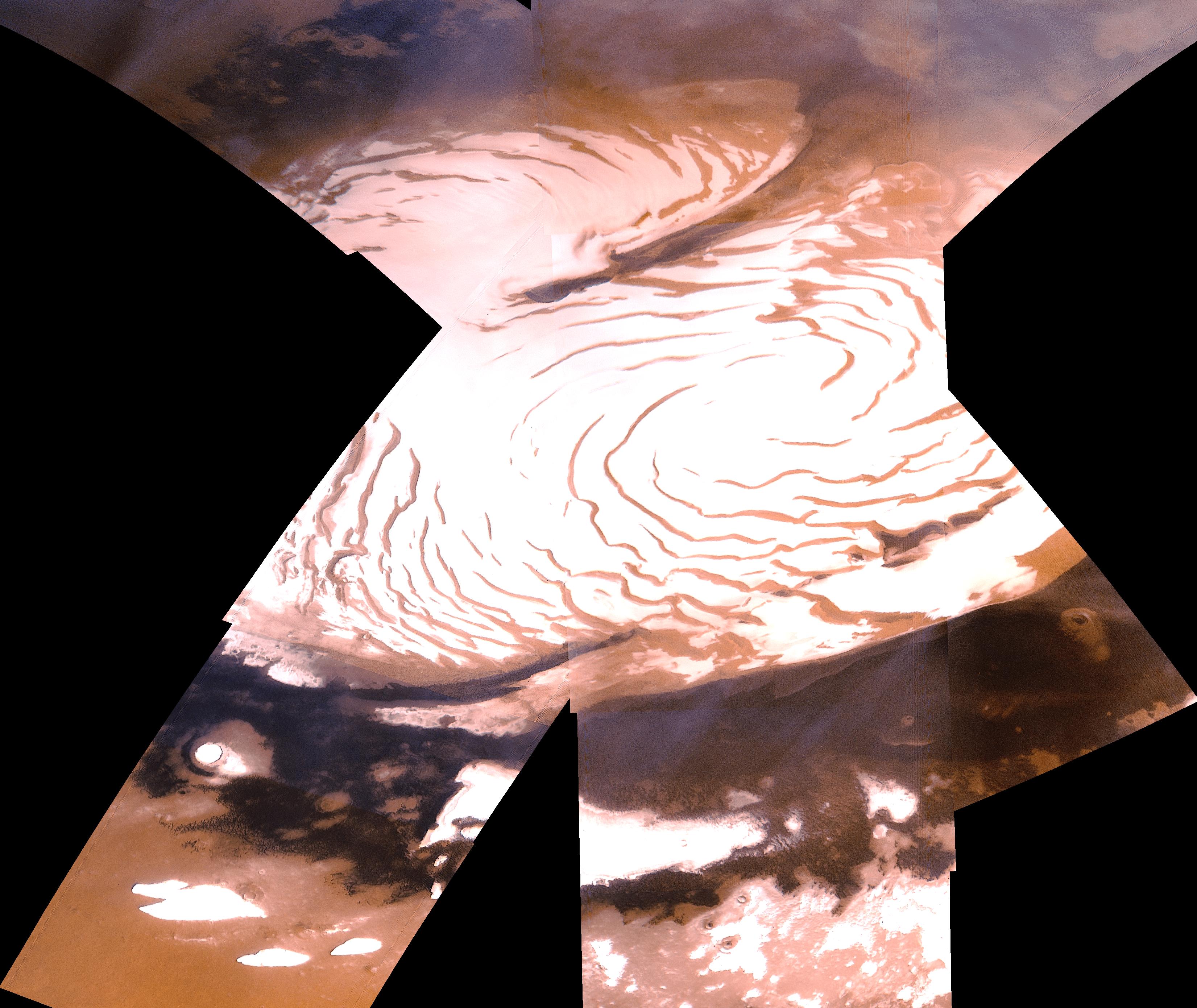
2010-06-24 | Mars |
Viking Mars Global Surveyor (MGS) |
MOLA |
984x960x3 |
|
|||||
|
|
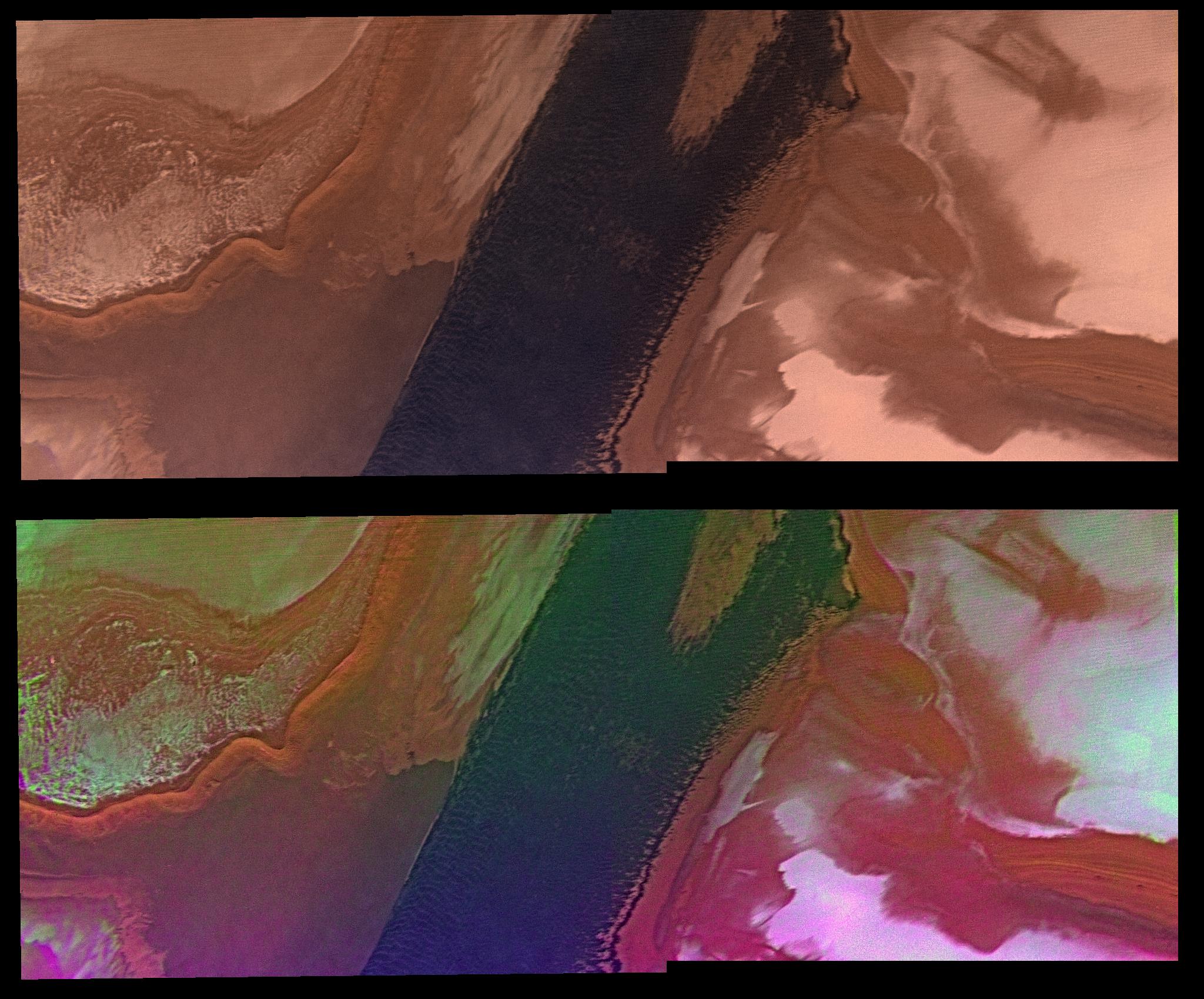
2006-12-05 | Mars |
Mars Reconnaissance Orbiter (MRO) Viking |
HiRISE |
5000x4167x3 |
|
|||||
|
|
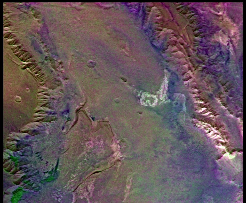
2006-12-05 | Mars |
Mars Reconnaissance Orbiter (MRO) Viking |
HiRISE |
5039x4356x1 |
|
|||||
|
|
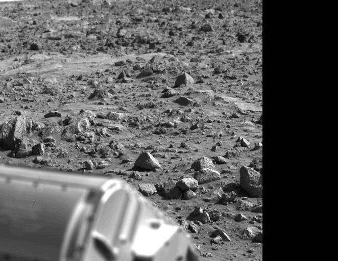
1996-12-15 | Mars |
Viking |
Camera 2 |
1089x512x1 |
|
|||||
|
|
1997-01-08 | Mars |
Viking |
Camera 2 |
1187x512x1 |
|
|||||
|
|
1997-01-08 | Mars |
Viking |
Camera 2 |
2131x512x1 |
|
|||||
|
|
1996-12-12 | Mars |
Viking |
Camera 2 |
1439x512x1 |

|
|||||
|
|
1996-12-30 | Mars |
Viking |
Camera 2 |
1203x1074x1 |

|
|||||
|
|
1996-12-30 | Mars |
Viking |
Camera 2 |
2497x512x1 |

|
|||||
|
|
1996-12-12 | Mars |
Viking |
Camera 2 |
515x512x1 |

|
|||||
|
|
1996-12-12 | Mars |
Viking |
Camera 2 |
517x512x1 |
|
|||||
|
|
1996-12-12 | Mars |
Viking |
Camera 2 |
272x386x1 |
|
|||||
|
|
1996-12-12 | Mars |
Viking |
Camera 2 |
259x402x1 |
|
|||||
|
|
1997-01-08 | Mars |
Viking |
Camera 2 |
439x512x1 |
|
|||||
|
|
1997-01-08 | Mars |
Viking |
Camera 2 |
2622x512x1 |

|
|||||
|
|
1997-01-08 | Mars |
Viking |
Camera 2 |
2123x1007x1 |
|
|||||
|
|
1997-01-09 | Mars |
Viking |
Camera 2 |
517x512x1 |

|
|||||
|
|
1997-01-09 | Mars |
Viking |
Camera 2 |
552x512x1 |

|
|||||
|
|
1997-01-09 | Mars |
Viking |
Camera 2 |
170x512x1 |
|
|
|||||
|
|
1997-01-09 | Mars |
Viking |
Camera 2 |
1252x512x1 |
|
|||||
|
|
1997-01-09 | Mars |
Viking |
Camera 2 |
1100x512x1 |
|
|||||
|
|
1997-02-28 | Mars |
Viking |
Camera 2 |
563x512x3 |
|
|||||
|
|
1997-02-28 | Mars |
Viking |
Camera 2 |
498x512x3 |
|
|||||
|
|
1997-02-28 | Mars |
Viking |
Camera 2 |
626x512x3 |

|
|||||
|
|
1997-02-28 | Mars |
Viking |
Camera 2 |
457x350x3 |
|
|||||
|
|
1997-02-28 | Mars |
Viking |
Camera 2 |
206x512x3 |
|
|
|||||
|
|
1997-02-28 | Mars |
Viking |
Camera 2 |
745x330x3 |

|
|||||
|
|
2008-05-30 | Mars |
Viking |
Camera 2 |
1744x512x1 |
|
|||||
|
|
1996-12-12 | Mars |
Viking |
Camera 1 |
662x512x1 |
|
|||||
|
|
1996-12-12 | Mars |
Viking |
Camera 1 |
490x512x1 |
|
|||||
|
|
1996-12-12 | Mars |
Viking |
Camera 1 |
508x434x1 |
|
|||||
|
|
1996-12-12 | Mars |
Viking |
Camera 1 |
251x512x1 |
|
|||||
|
|
1996-12-12 | Mars |
Viking |
Camera 1 |
520x512x1 |

|
|||||
|
|
1996-12-30 | Mars |
Viking |
Camera 1 |
2501x512x1 |

|
|||||
 |
 |

|
|
| 1-100 | 101-200 |
| Currently displaying images: 1 - 100 of 149 |