My
List |
Addition Date
|
Target
|
Mission
|
Instrument
|
Size
|

|
1999-01-27 |
Earth
|
Spaceborne Imaging Radar-C/X-Band Synthetic Aperture Radar
|
|
784x1765x1 |
|
-
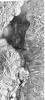
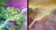
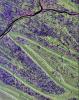
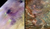
PIA01701:
-
Space Radar Image of Death Valley, California
Full Resolution:
TIFF
(1.602 MB)
JPEG
(565.3 kB)
|
|
|
1999-01-27 |
Earth
|
Spaceborne Imaging Radar-C/X-Band Synthetic Aperture Radar
|
|
804x1330x3 |
|
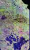
-
PIA01700:
-
Space Radar Image of Raco, Michigan
Full Resolution:
TIFF
(4.208 MB)
JPEG
(489.4 kB)
|
|
|
1998-04-28 |
Earth
|
Spaceborne Imaging Radar-C/X-Band Synthetic Aperture Radar
|
Imaging Radar
|
3930x2880x3 |
|
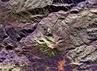
-
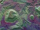
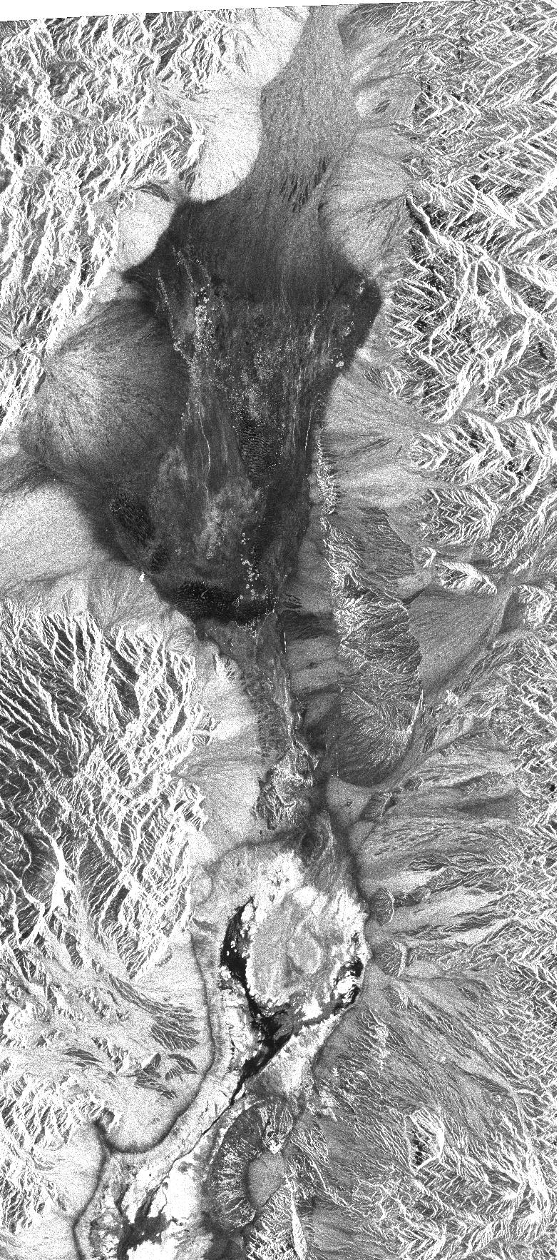
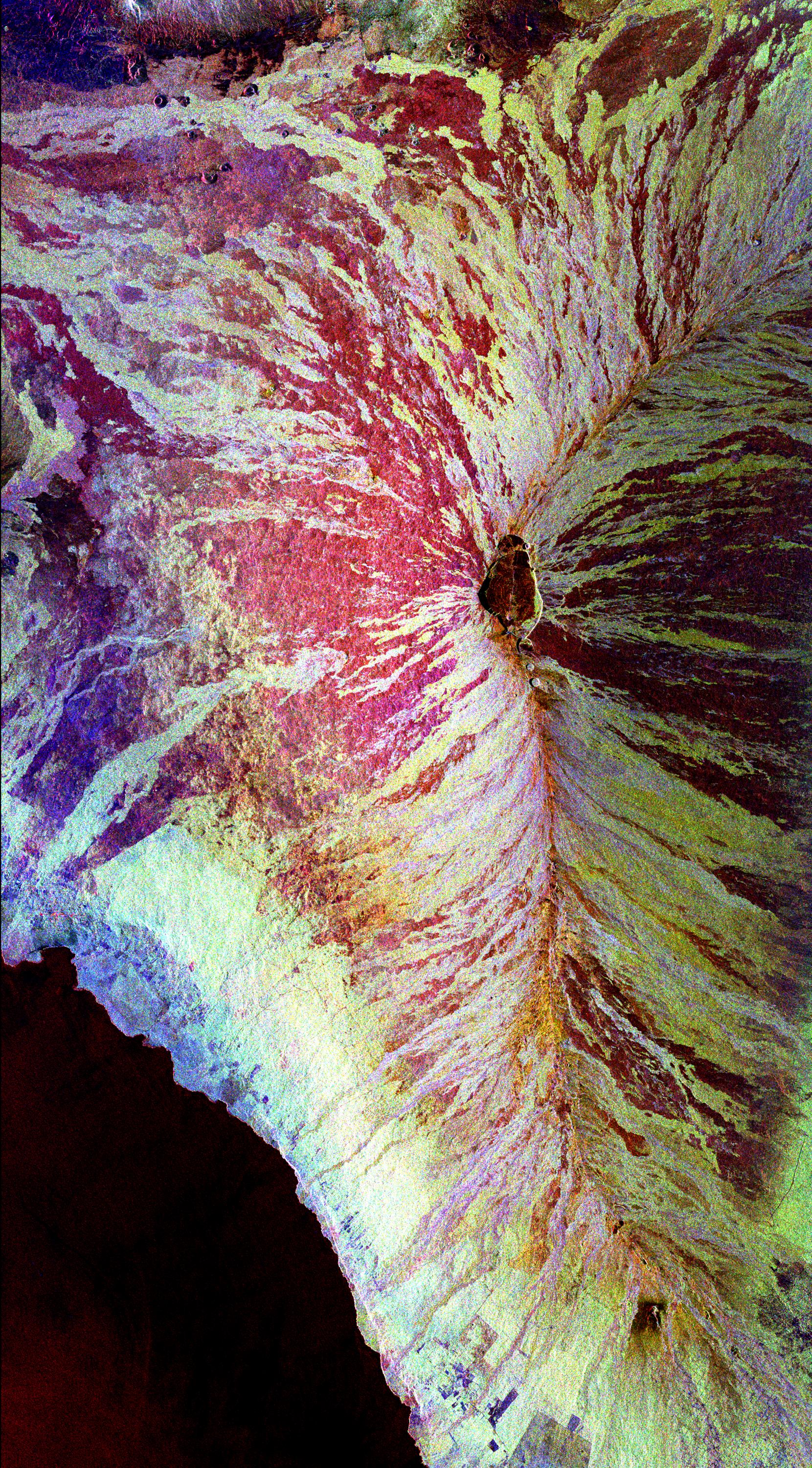
PIA01305:
-
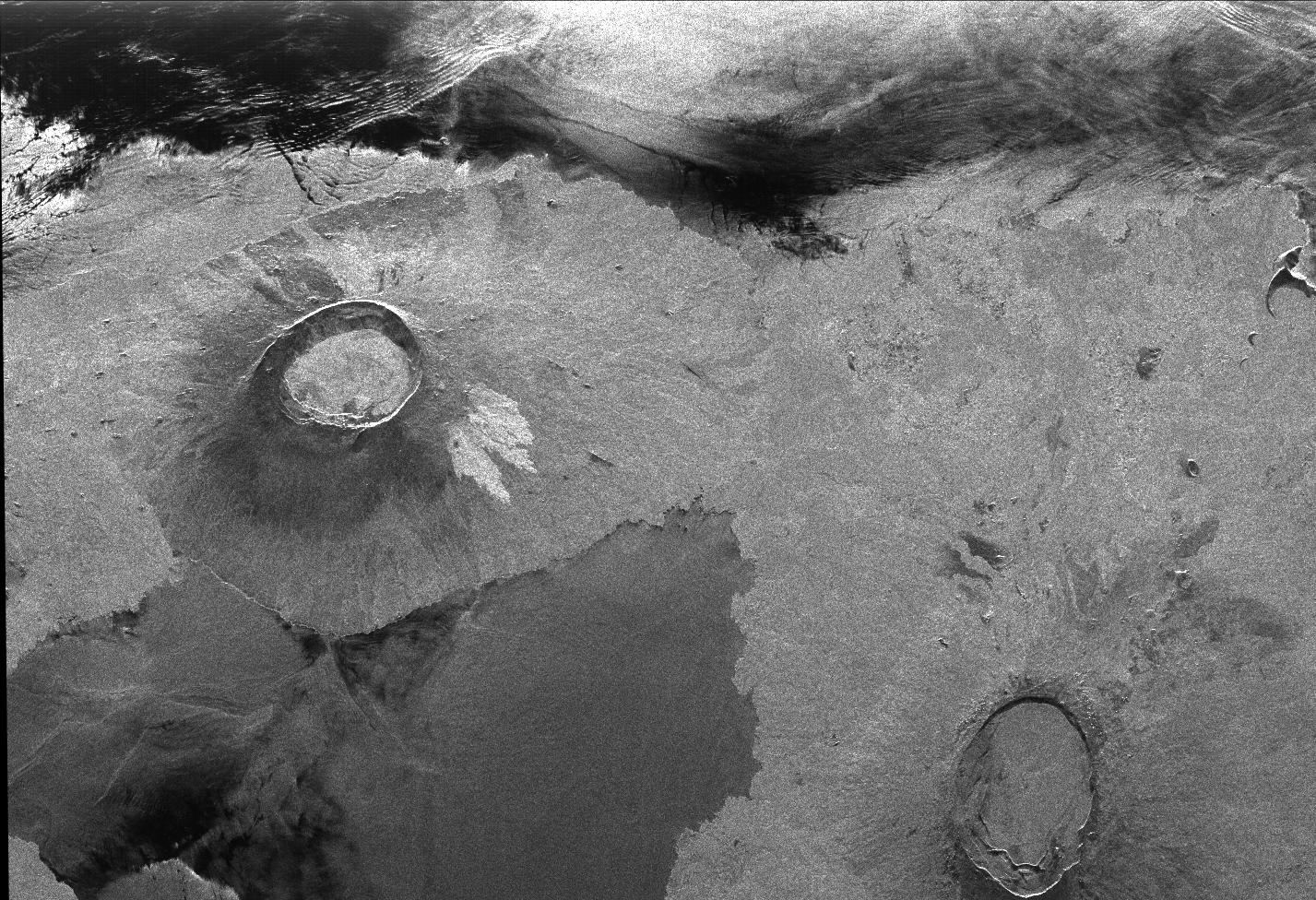
Space Radar Image of Galeras Volcano, Colombia
Full Resolution:
TIFF
(40.91 MB)
JPEG
(3.423 MB)
|
|
|
1998-04-28 |
Earth
|
Spaceborne Imaging Radar-C/X-Band Synthetic Aperture Radar
|
Imaging Radar
|
1660x3000x3 |
|
-
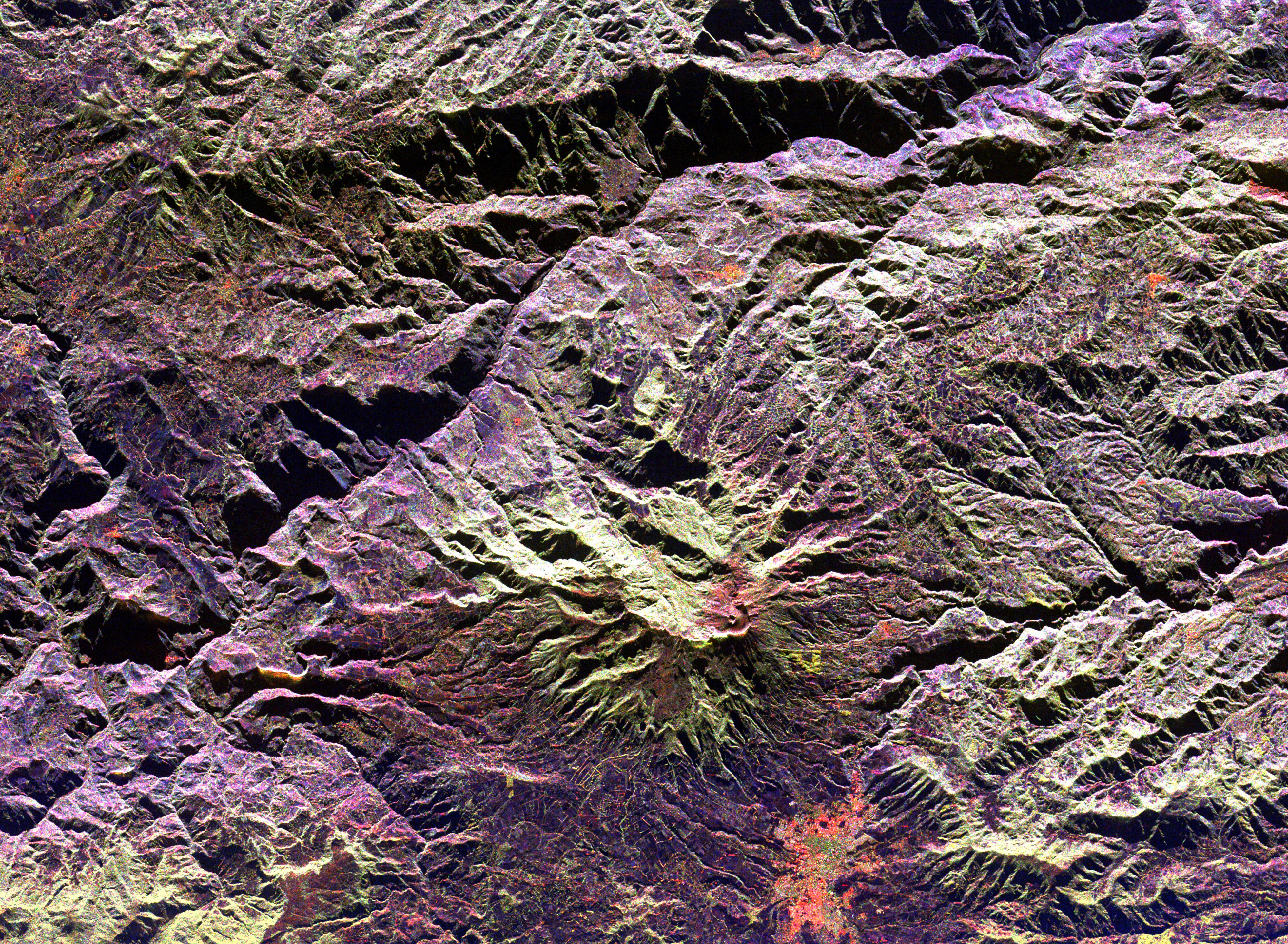
PIA01304:
-
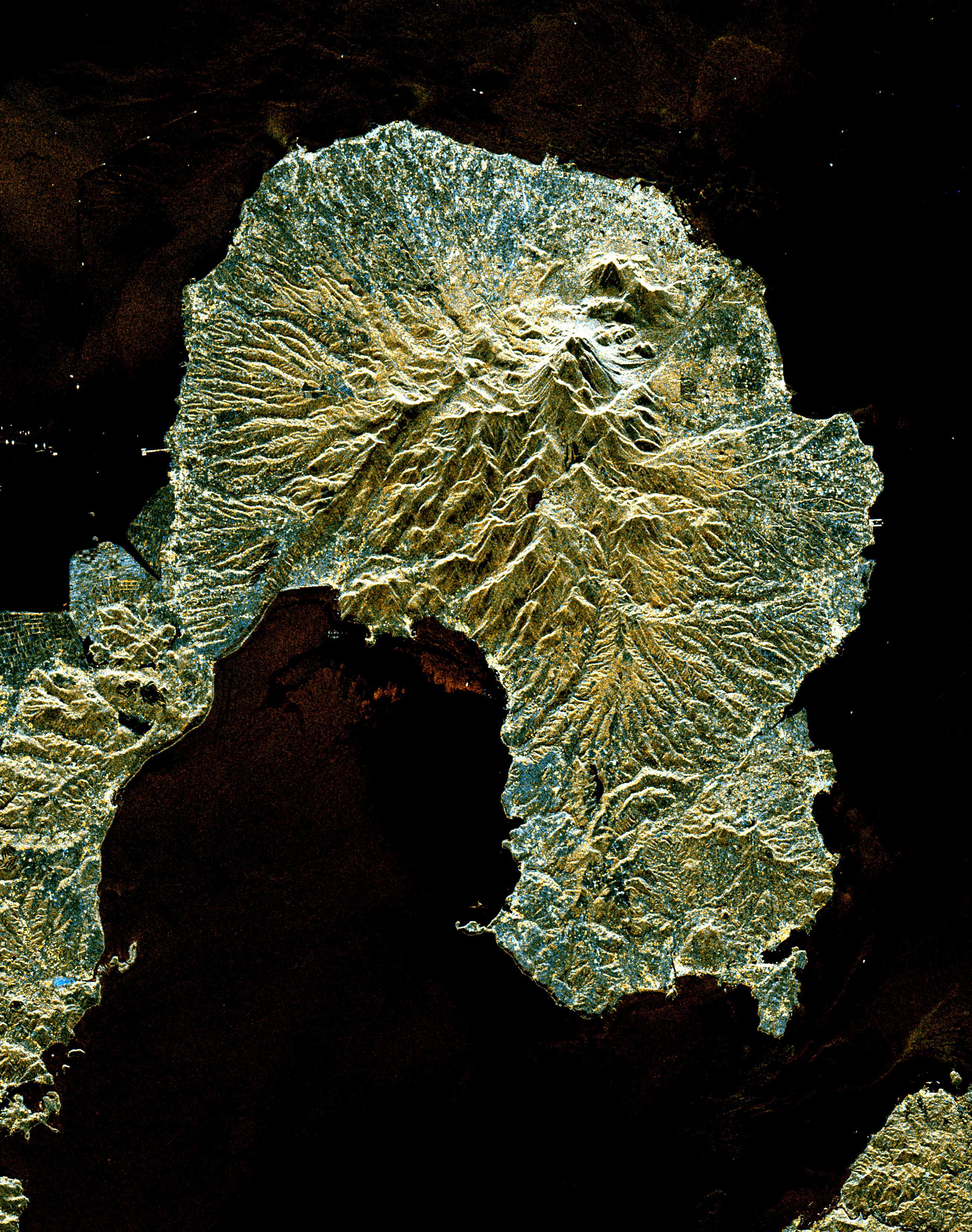
Space Radar Image of Mauna Loa, Hawaii
Full Resolution:
TIFF
(18 MB)
JPEG
(1.84 MB)
|
|
|
1998-04-28 |
Earth
|
Spaceborne Imaging Radar-C/X-Band Synthetic Aperture Radar
|
Imaging Radar
|
2188x1201x3 |
|
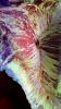
-
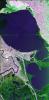
PIA01302:
-
Space Radar Image of Ubar Optical/Radar
Full Resolution:
TIFF
(10.02 MB)
JPEG
(795.3 kB)
|
|
|
1998-04-14 |
Earth
|
Spaceborne Imaging Radar-C/X-Band Synthetic Aperture Radar
|
Imaging Radar
|
1498x3000x3 |

|
-
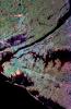
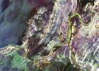
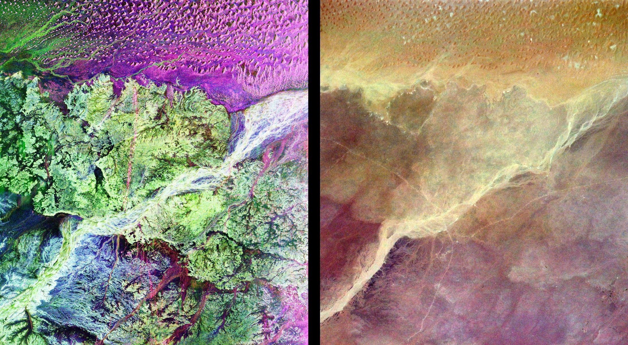
PIA01311:
-
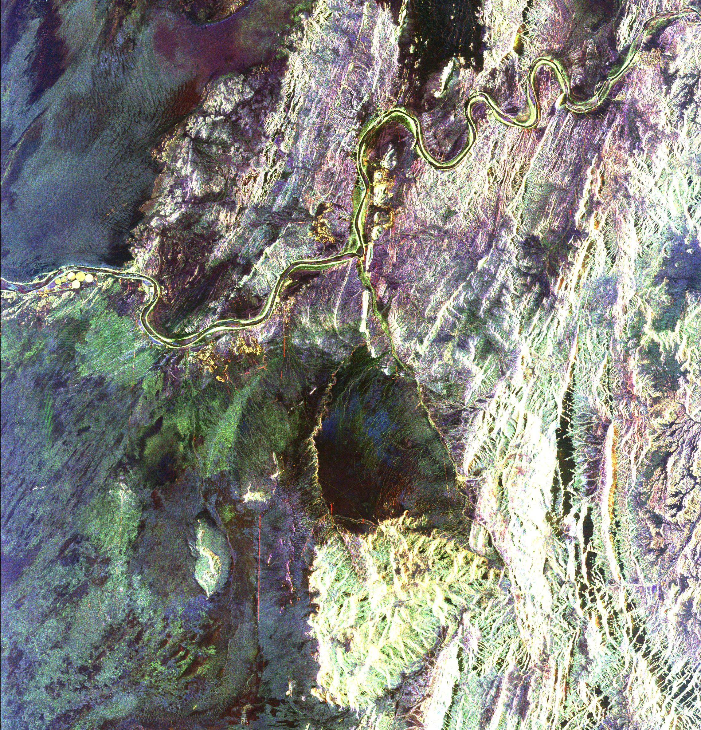
Space Radar Image of Mississippi River
Full Resolution:
TIFF
(17.41 MB)
JPEG
(1.207 MB)
|
|
|
1998-04-14 |
Earth
|
Spaceborne Imaging Radar-C/X-Band Synthetic Aperture Radar
|
Imaging Radar
|
3112x4817x3 |
|
-
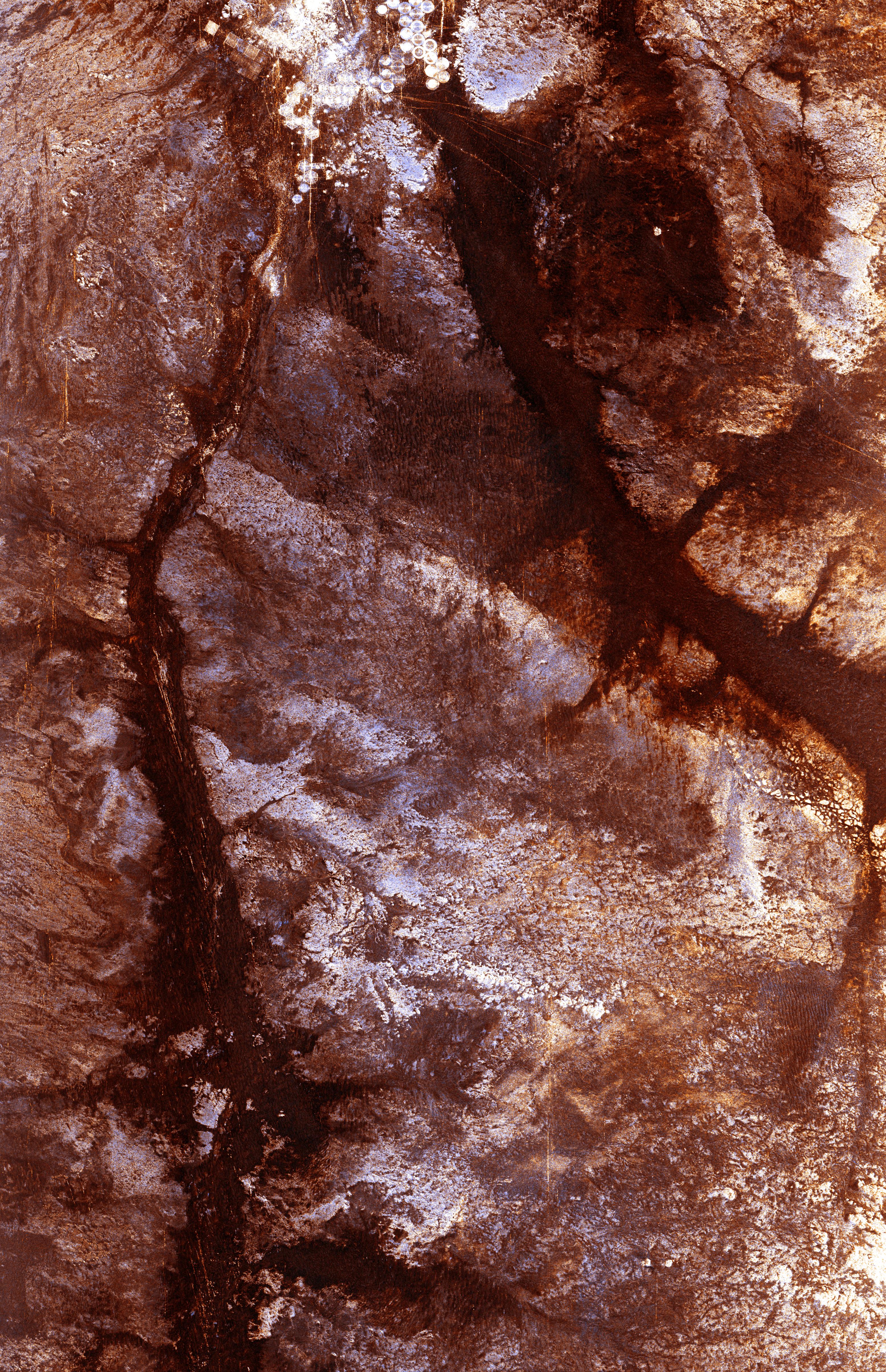
PIA01310:
-
Space Radar Image of Wadi Kufra, Libya
Full Resolution:
TIFF
(54.46 MB)
JPEG
(4.357 MB)
|
|
|
1998-04-14 |
Earth
|
Spaceborne Imaging Radar-C/X-Band Synthetic Aperture Radar
|
Imaging Radar
|
1950x3000x3 |
|
-
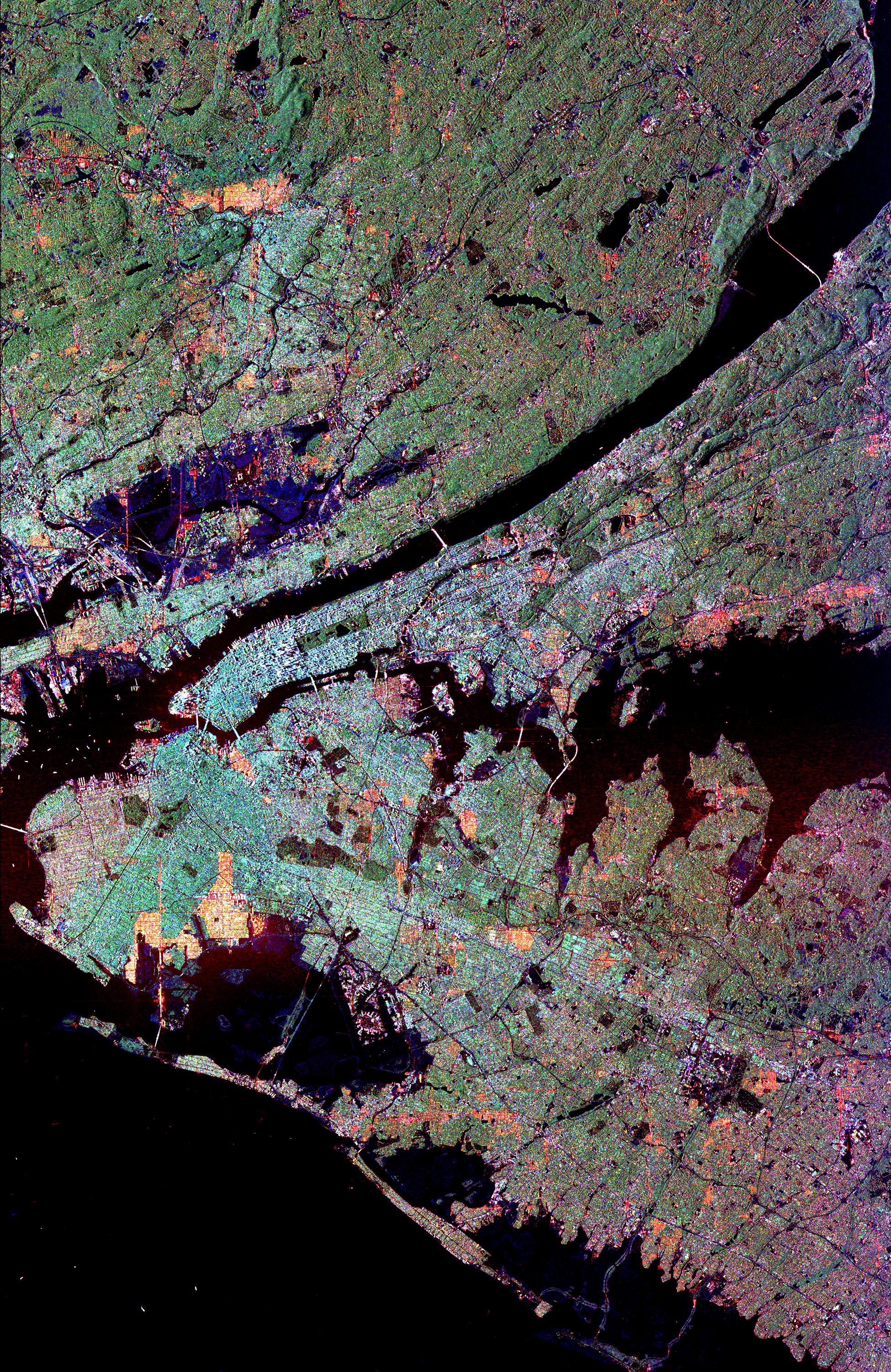
PIA01309:
-
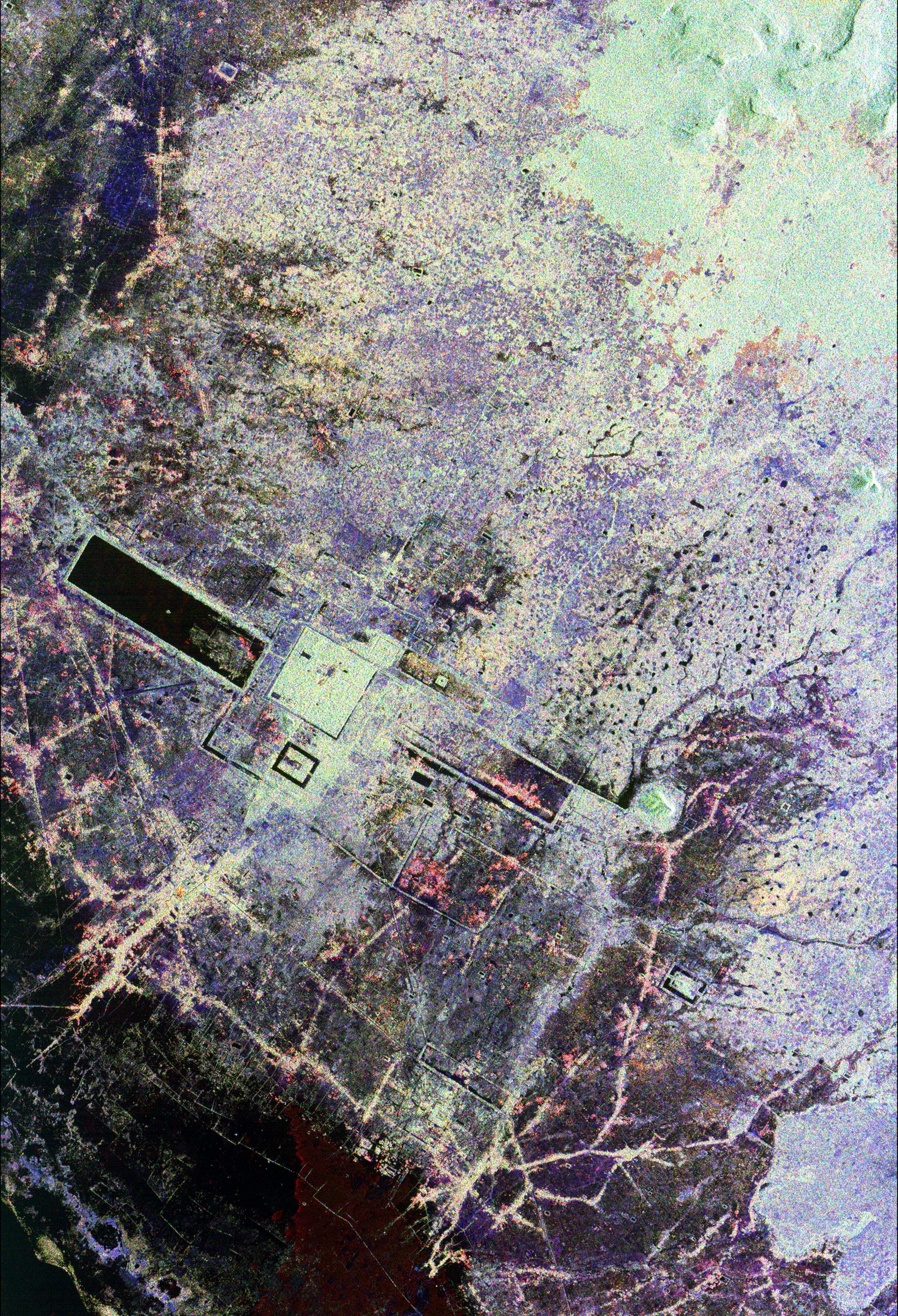
Space Radar Image of New York City
Full Resolution:
TIFF
(16.45 MB)
JPEG
(2.531 MB)
|
|
|
1998-04-14 |
Earth
|
Spaceborne Imaging Radar-C/X-Band Synthetic Aperture Radar
|
Imaging Radar
|
1676x4000x3 |
|
-
PIA01308:
-
Space Radar Image of Western Pacific Rain Vlouds
Full Resolution:
TIFF
(25.5 MB)
JPEG
(2.205 MB)
|
|
|
1998-04-14 |
Earth
|
Spaceborne Imaging Radar-C/X-Band Synthetic Aperture Radar
|
Imaging Radar
|
2430x3078x3 |
|
-
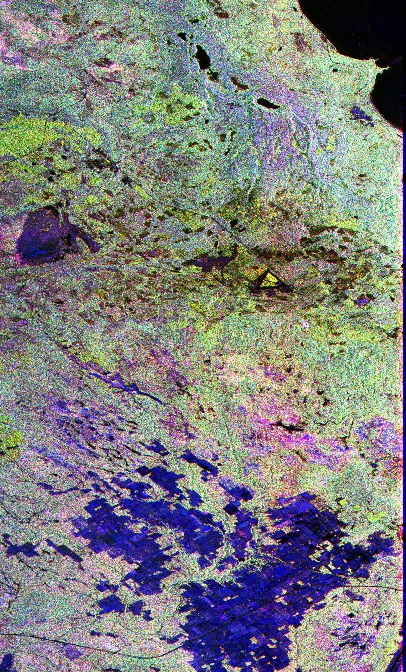
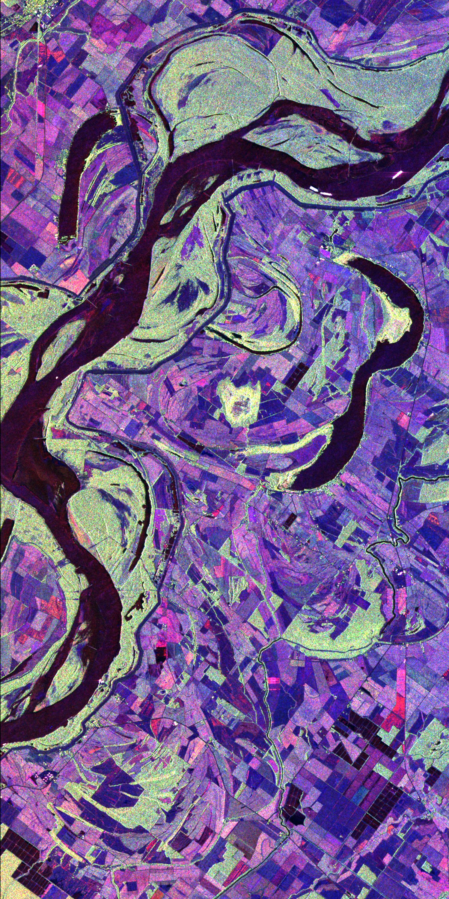
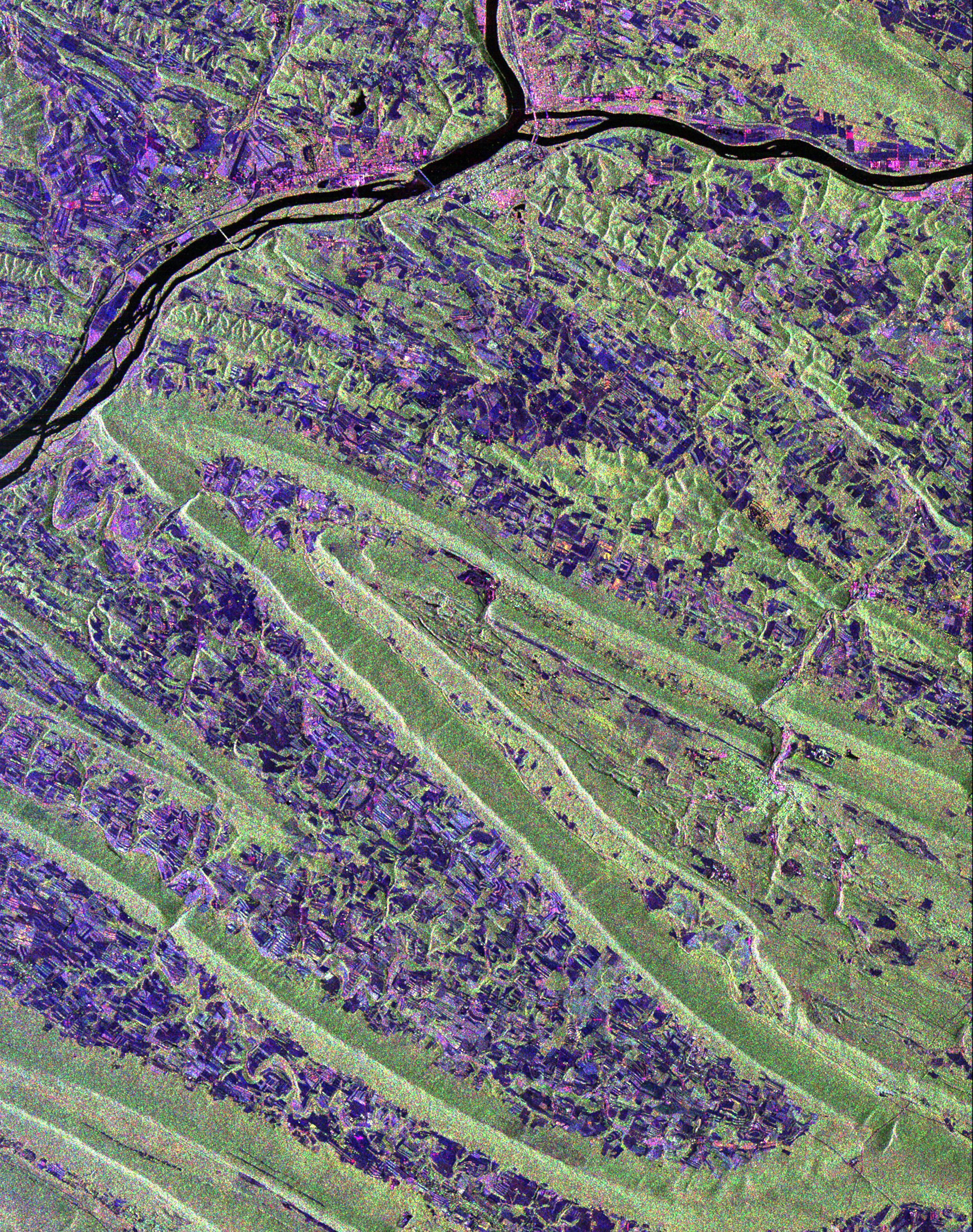
PIA01306:
-
Space Radar Image of Sunbury, Pennsylvania
Full Resolution:
TIFF
(29.48 MB)
JPEG
(2.666 MB)
|
|
|
1998-04-14 |
Earth
|
Spaceborne Imaging Radar-C/X-Band Synthetic Aperture Radar
|
Imaging Radar
|
1943x4000x3 |
|
-
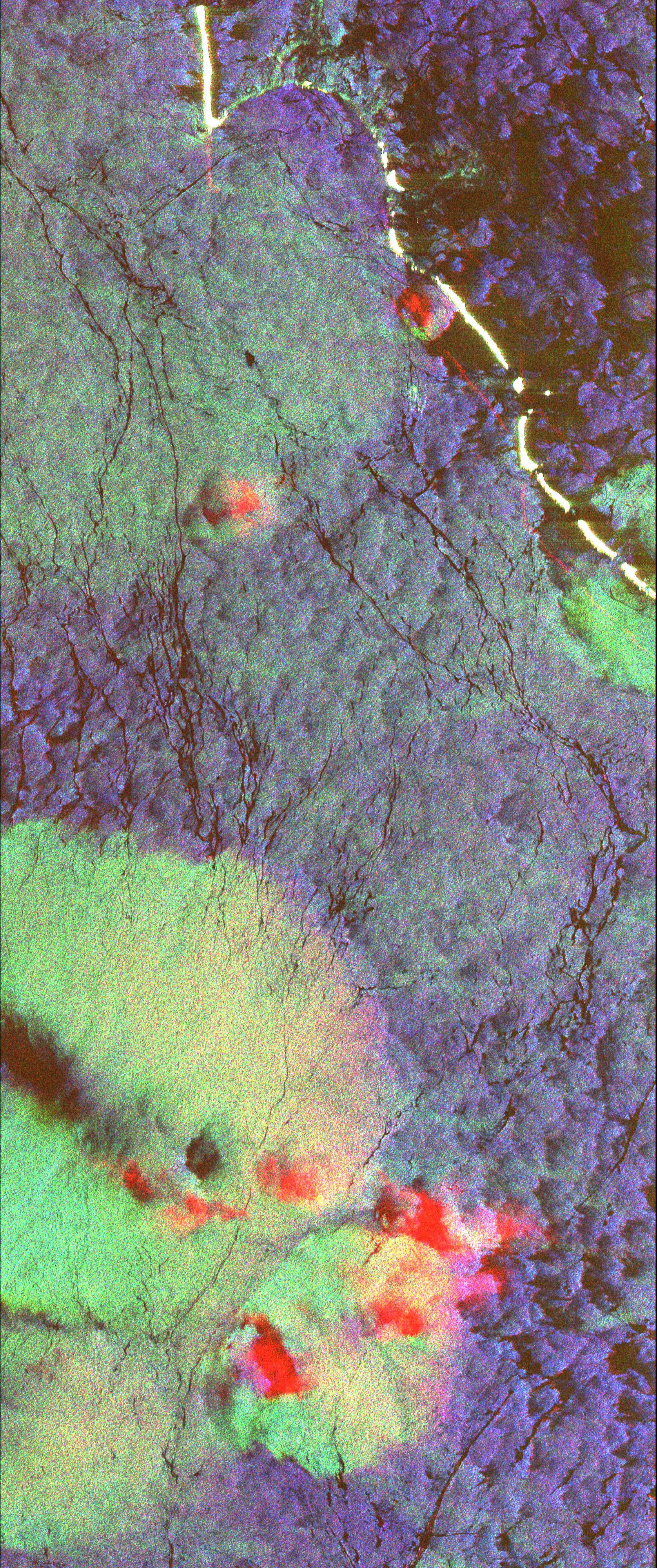
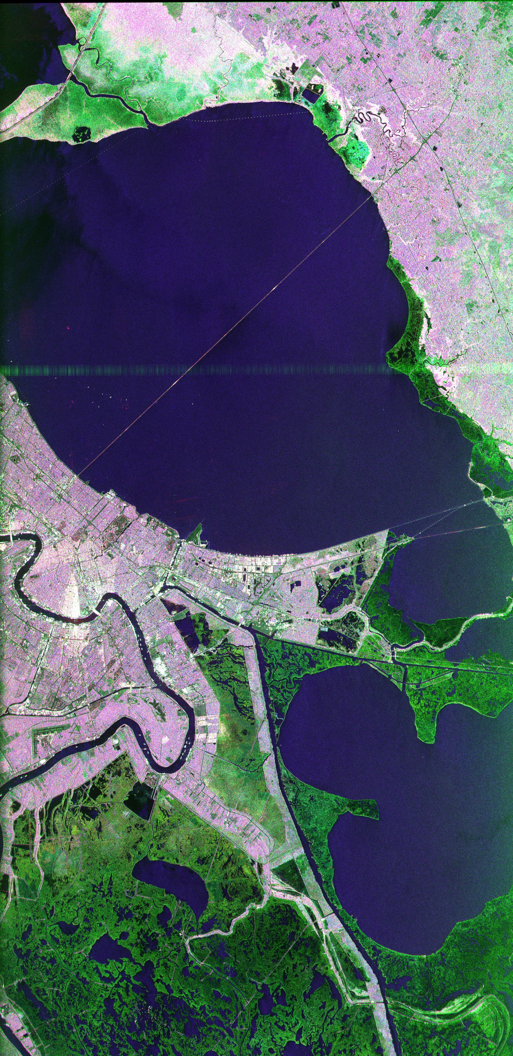
PIA01300:
-
Space Radar Image of New Orleans, Louisiana
Full Resolution:
TIFF
(26.94 MB)
JPEG
(2.16 MB)
|
|
|
1998-04-09 |
Earth
|
Spaceborne Imaging Radar-C/X-Band Synthetic Aperture Radar
|
Imaging Radar
|
1409x1567x3 |
|
-
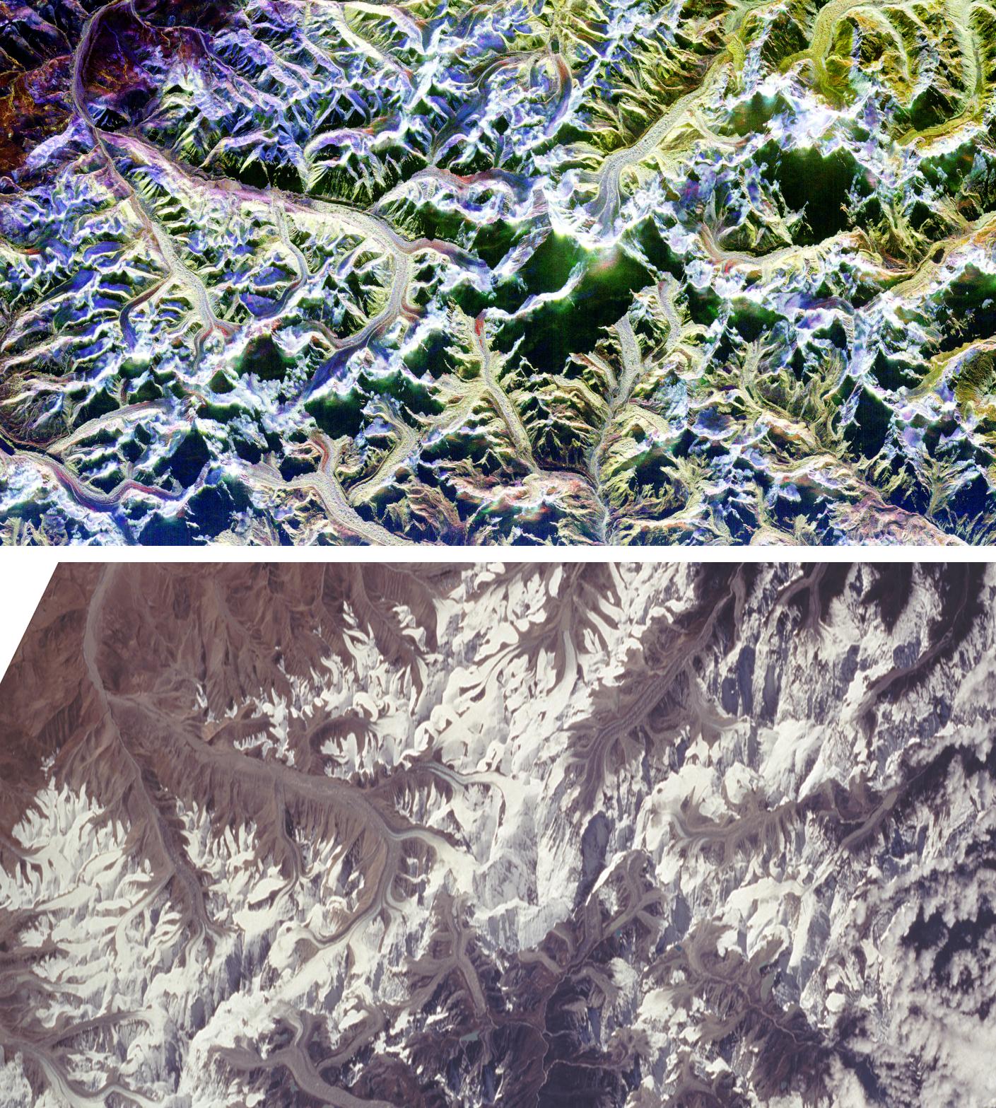
PIA01301:
-
Space Radar Image of Mount Everest
Full Resolution:
TIFF
(7.613 MB)
JPEG
(577.3 kB)
|
|
|
1998-04-09 |
Earth
|
Spaceborne Imaging Radar-C/X-Band Synthetic Aperture Radar
|
Imaging Radar
|
3022x3018x3 |
|
-
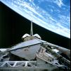
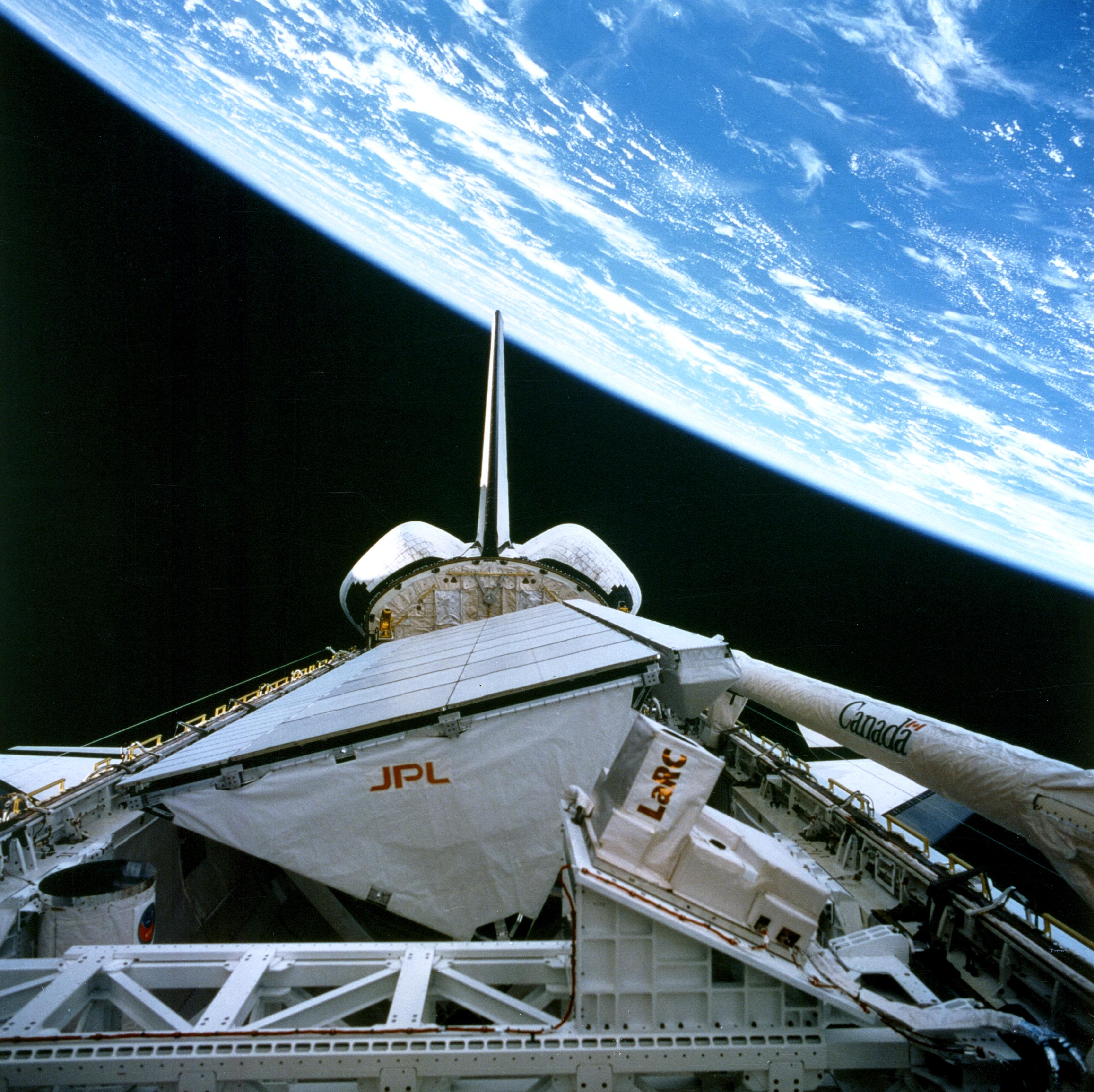
PIA01321:
-
Onboard View - Space Shuttle Endeavour
Full Resolution:
TIFF
(22.33 MB)
JPEG
(1.162 MB)
|
|
|
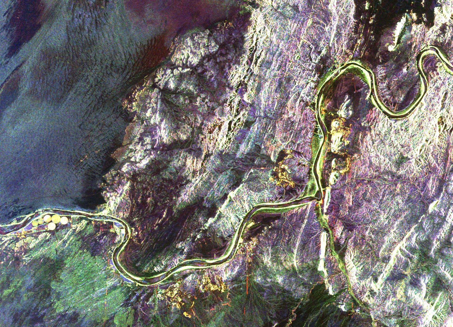
1998-04-06 |
Earth
|
Spaceborne Imaging Radar-C/X-Band Synthetic Aperture Radar
|
L-Band Imaging Radar
|
2100x1232x3 |
|
-
PIA00737:
-
Safsaf Oasis, Egypt
Full Resolution:
TIFF
(7.751 MB)
JPEG
(722.3 kB)
|
|
|
1998-04-06 |
Earth
|
Spaceborne Imaging Radar-C/X-Band Synthetic Aperture Radar
|
L-Band Imaging Radar
|
4001x3032x3 |
|
-
PIA01235:
-
North Central Thailand
Full Resolution:
TIFF
(44.97 MB)
JPEG
(3.526 MB)
|
|
|
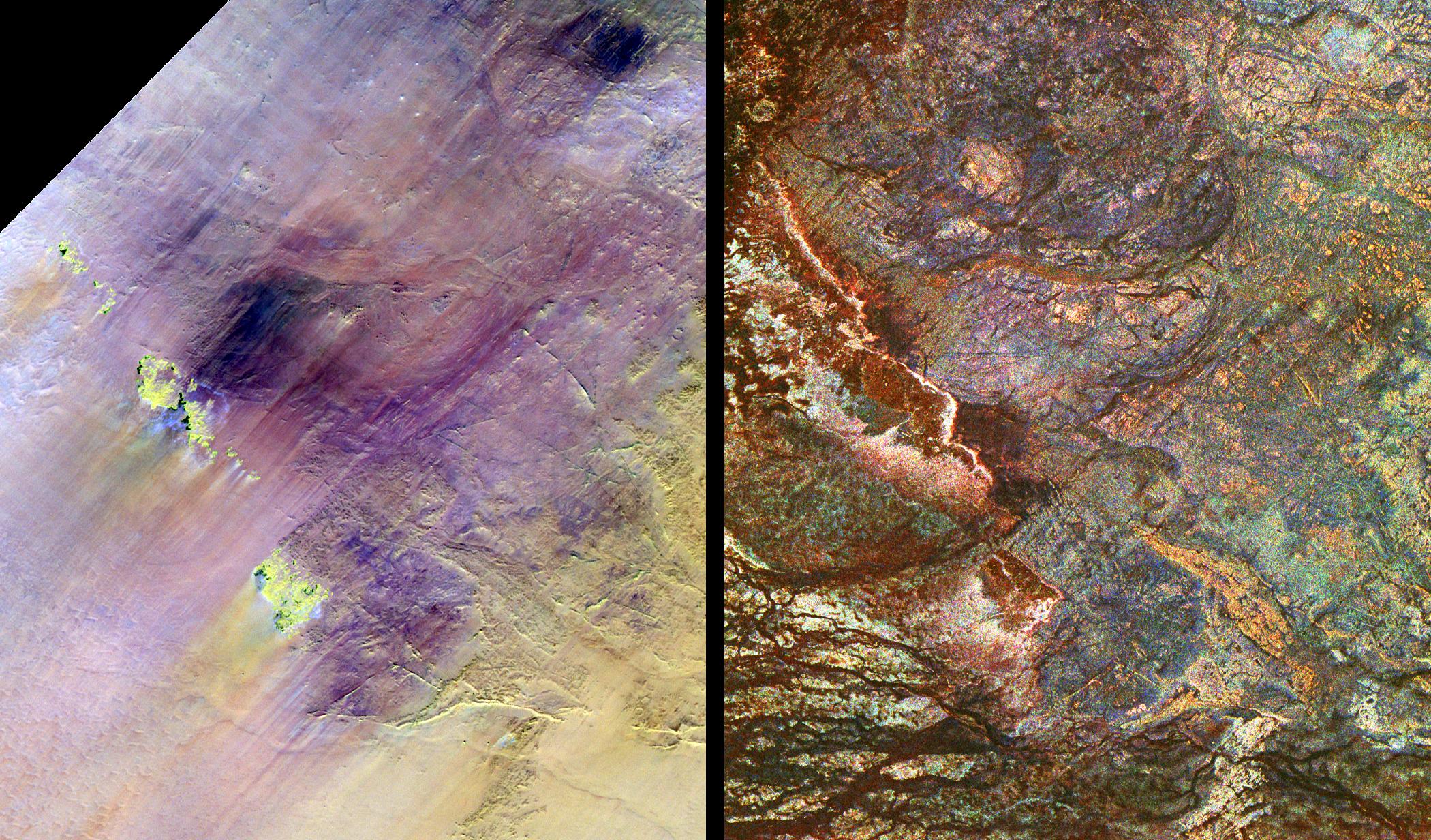
1998-03-16 |
Earth
|
Spaceborne Imaging Radar-C/X-Band Synthetic Aperture Radar
|
L-Band Imaging Radar
|
1571x1135x3 |
|
-
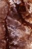
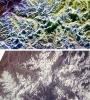
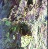
PIA00822:
-
South Africa, Namibia Diamond Deposits (Close-up)
Full Resolution:
TIFF
(6.439 MB)
JPEG
(581.7 kB)
|
|
|
1998-03-16 |
Earth
|
Spaceborne Imaging Radar-C/X-Band Synthetic Aperture Radar
|
L-Band Imaging Radar
|
2282x2375x3 |
|
-
PIA00821:
-
South Africa, Namibia Diamond Deposits
Full Resolution:
TIFF
(18.25 MB)
JPEG
(1.739 MB)
|
|
|
1996-11-13 |
Earth
|
Spaceborne Imaging Radar-C/X-Band Synthetic Aperture Radar
|
Imaging Radar
|
2732x4000x3 |
|
-
PIA00505:
-
Angkor, Cambodia
Full Resolution:
TIFF
(41.23 MB)
JPEG
(3.655 MB)
|
|
|
1996-11-13 |
Earth
|
Spaceborne Imaging Radar-C/X-Band Synthetic Aperture Radar
|
Imaging Radar
|
2620x3320x3 |
|
-
PIA00504:
-
Unzen Volcano, Japan
Full Resolution:
TIFF
(14.37 MB)
JPEG
(1.832 MB)
|
|
|
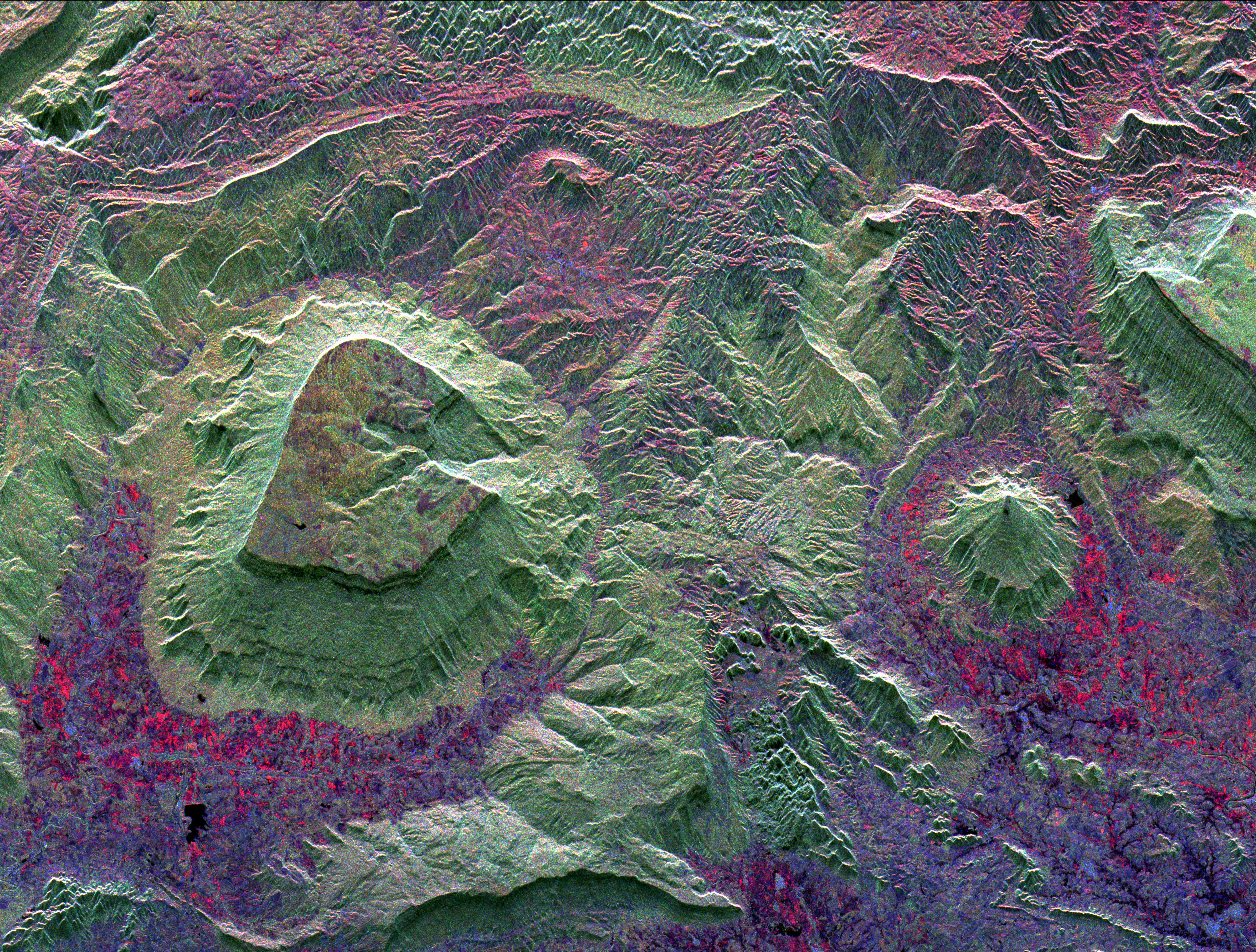
1996-11-13 |
Earth
|
Spaceborne Imaging Radar-C/X-Band Synthetic Aperture Radar
|
Imaging Radar
|
2910x2040x3 |
|
-
PIA00503:
-
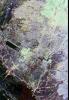
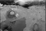
Roter Kamm Impact Crater in Namibia
Full Resolution:
TIFF
(20.03 MB)
JPEG
(1.839 MB)
|
|
|
1996-10-23 |
Earth
|
Spaceborne Imaging Radar-C/X-Band Synthetic Aperture Radar
|
L-Band Imaging Radar
|
1427x976x1 |
|
-
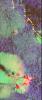
PIA00499:
-
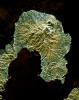
Radar Image of Galapagos Island
Full Resolution:
TIFF
(1.63 MB)
JPEG
(407.5 kB)
|
 Planetary Data System


