Your search criteria found
1046
images
Mission
Go to PIAxxxxx:
Refine this list of images by:
Target:
Ceres
Deimos
Earth
Mars
Mercury
Phobos
Sun
Spacecraft:
Curiosity
Mars Global Surveyor Orbiter
Mars Reconnaissance Orbiter (MRO)
Mars Science Laboratory (MSL)
Instrument:
Alpha Particle X-ray Spectrometer
Alpha Particle X-ray Spectrometer (MSL)
CHIMRA
Chemistry & Mineralogy (CheMin)
Chemistry and Camera (ChemCam)
Context Camera (CTX)
Dynamic Albedo of Neutrons
Dynamic Albedo of Neutrons (DAN)
Hazard Avoidance Camera (MSL)
High Resolution Imaging Science Experiment (HiRISE)
Mars Color Imager (MARCI)
Mars Descent Imager
Mars Hand Lens Imager (MAHLI)
Mars Orbiter Laser Altimeter
Mastcam
Navigation Camera
Navigation Camera (M2020)
Navigation Camera (MSL)
Panoramic Camera
Radiation Assessment Detector (RAD)
Robotic Arm (MSL)
Rover Environmental Monitoring Station (REMS)
Sample Analysis at Mars (SAM)
Thermal Emission Imaging System
Click on an image for detailed information
Click on a column heading to sort in ascending or descending order
My
List
Addition Date
Target
Mission
Instrument
Size
2012-08-29
Mars
Mars Science Laboratory (MSL)
1024x1024x1
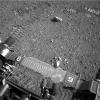
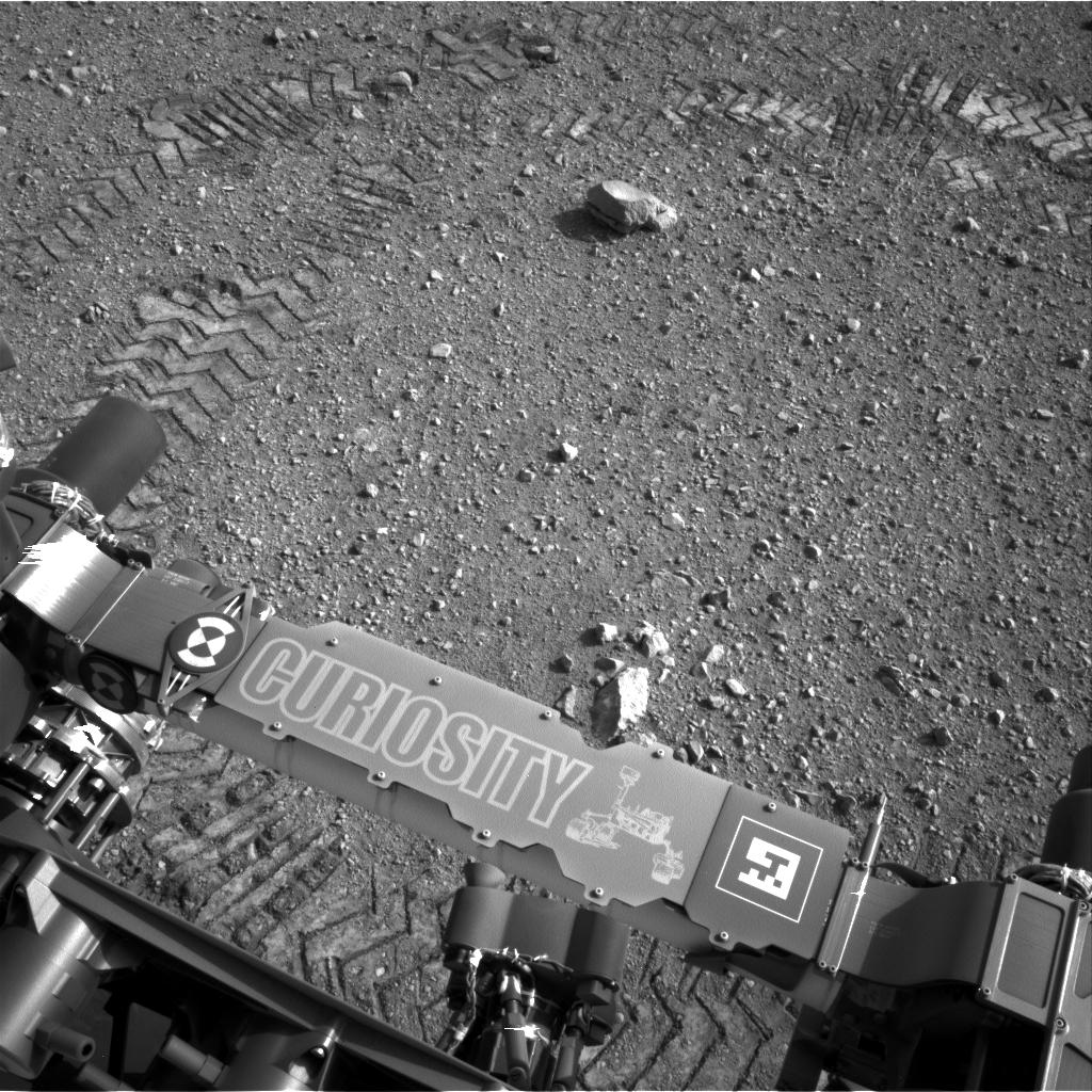
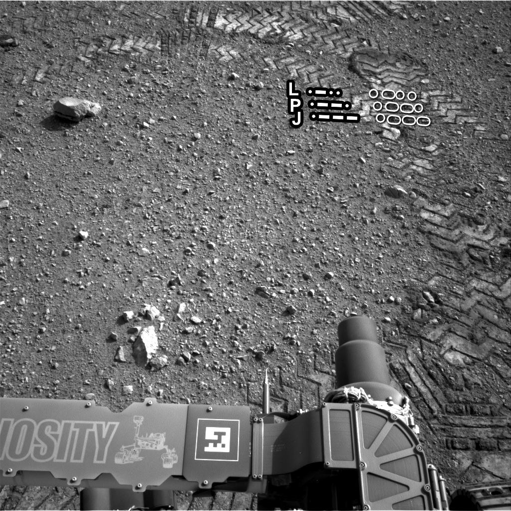
PIA16093:
Curiosity Leaves Its Mark
Full Resolution:
TIFF
(1.05 MB)
JPEG
(245.6 kB)
2012-08-29
Mars
Mars Science Laboratory (MSL)
1024x1024x1
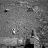
PIA16111:
Reading the Rover's Tracks
Full Resolution:
TIFF
(1.05 MB)
JPEG
(274.3 kB)
2012-08-29
Mars
Mars Science Laboratory (MSL)
1024x1024x1
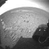
PIA16112:
Curiosity Tracks Its Tracks
Full Resolution:
TIFF
(1.05 MB)
JPEG
(174.8 kB)
2012-09-04
Mars
Mars Science Laboratory (MSL)
7824x3337x3
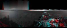
PIA16140:
3-D View from Bradbury Landing Site
Full Resolution:
TIFF
(78.35 MB)
JPEG
(1.916 MB)
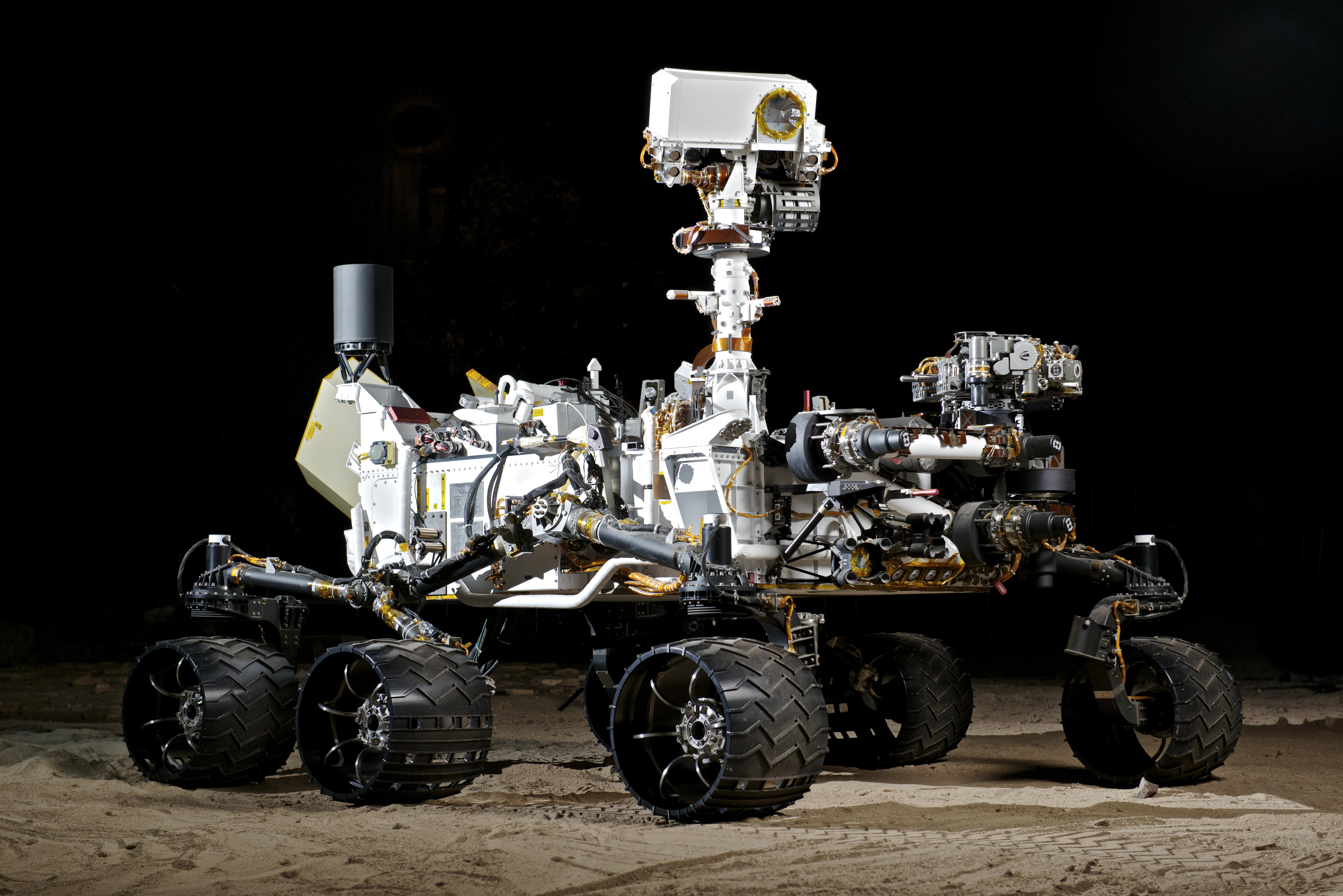
2009-10-13
Mars Science Laboratory (MSL)
4538x3832x3
PIA15875:
NASA's Vehicle System Test Bed (VSTB) Rover
Full Resolution:
TIFF
(52.2 MB)
JPEG
(1.677 MB)
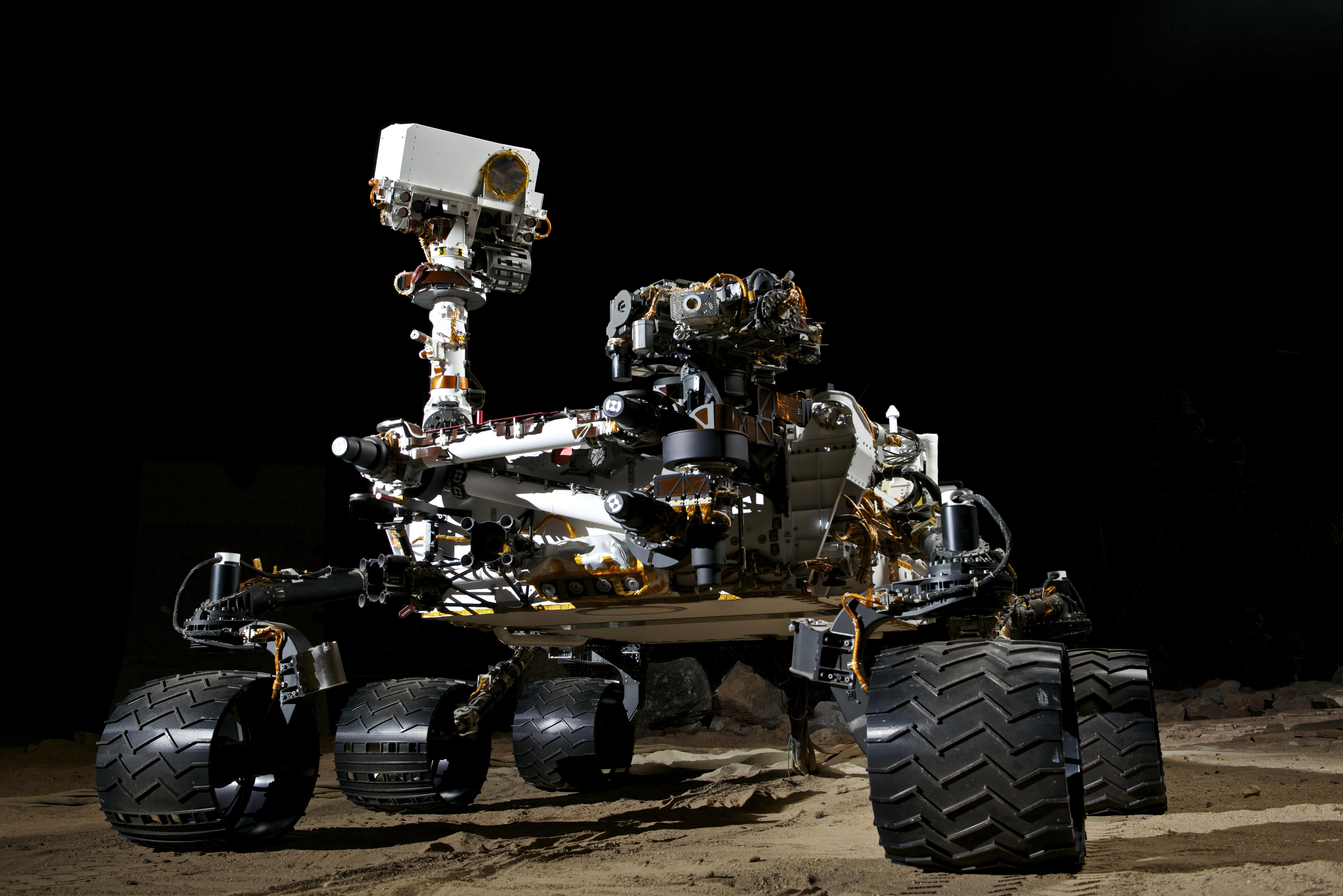
2009-10-13
Mars Science Laboratory (MSL)
7360x4912x3
PIA15876:
NASA's Vehicle System Test Bed (VSTB) Rover
Full Resolution:
TIFF
(108.5 MB)
JPEG
(2.982 MB)
2009-10-13
Mars Science Laboratory (MSL)
7224x4821x3
PIA15877:
NASA's Vehicle System Test Bed (VSTB) Rover
Full Resolution:
TIFF
(104.5 MB)
JPEG
(2.307 MB)
2009-10-13
Mars Science Laboratory (MSL)
4655x7231x3
PIA15878:
NASA's Vehicle System Test Bed (VSTB) Rover
Full Resolution:
TIFF
(101 MB)
JPEG
(1.411 MB)
2012-09-06
Mars
Mars Science Laboratory (MSL)
1438x933x3
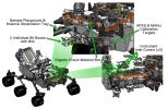
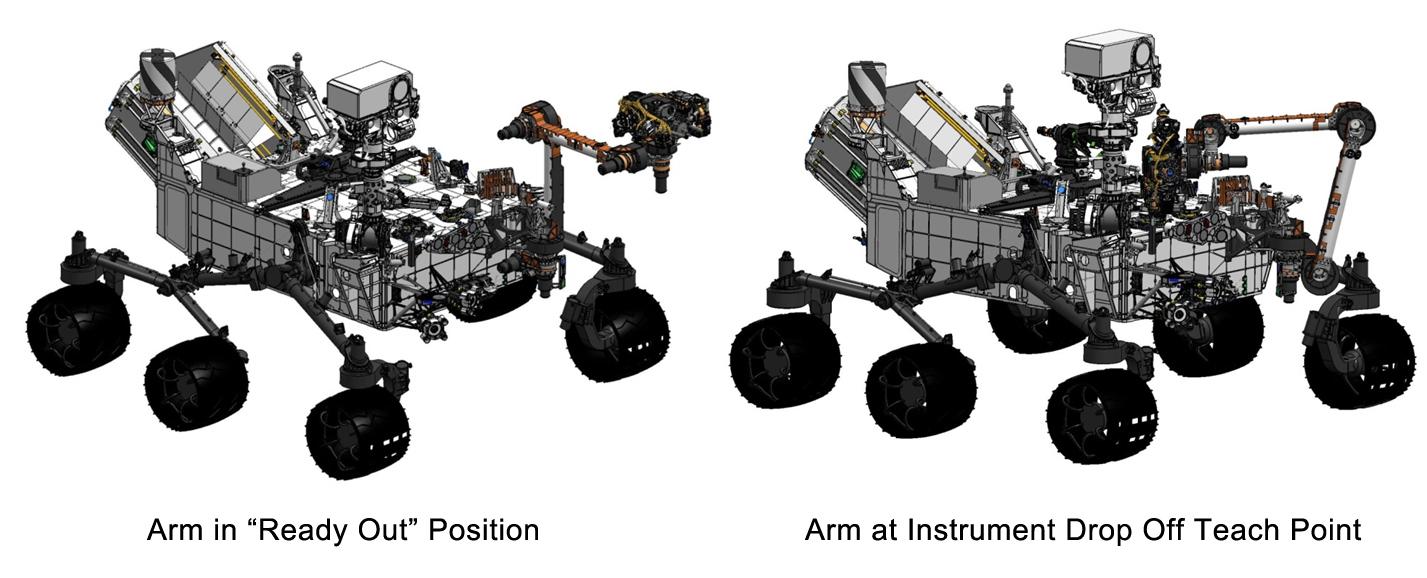
PIA16144:
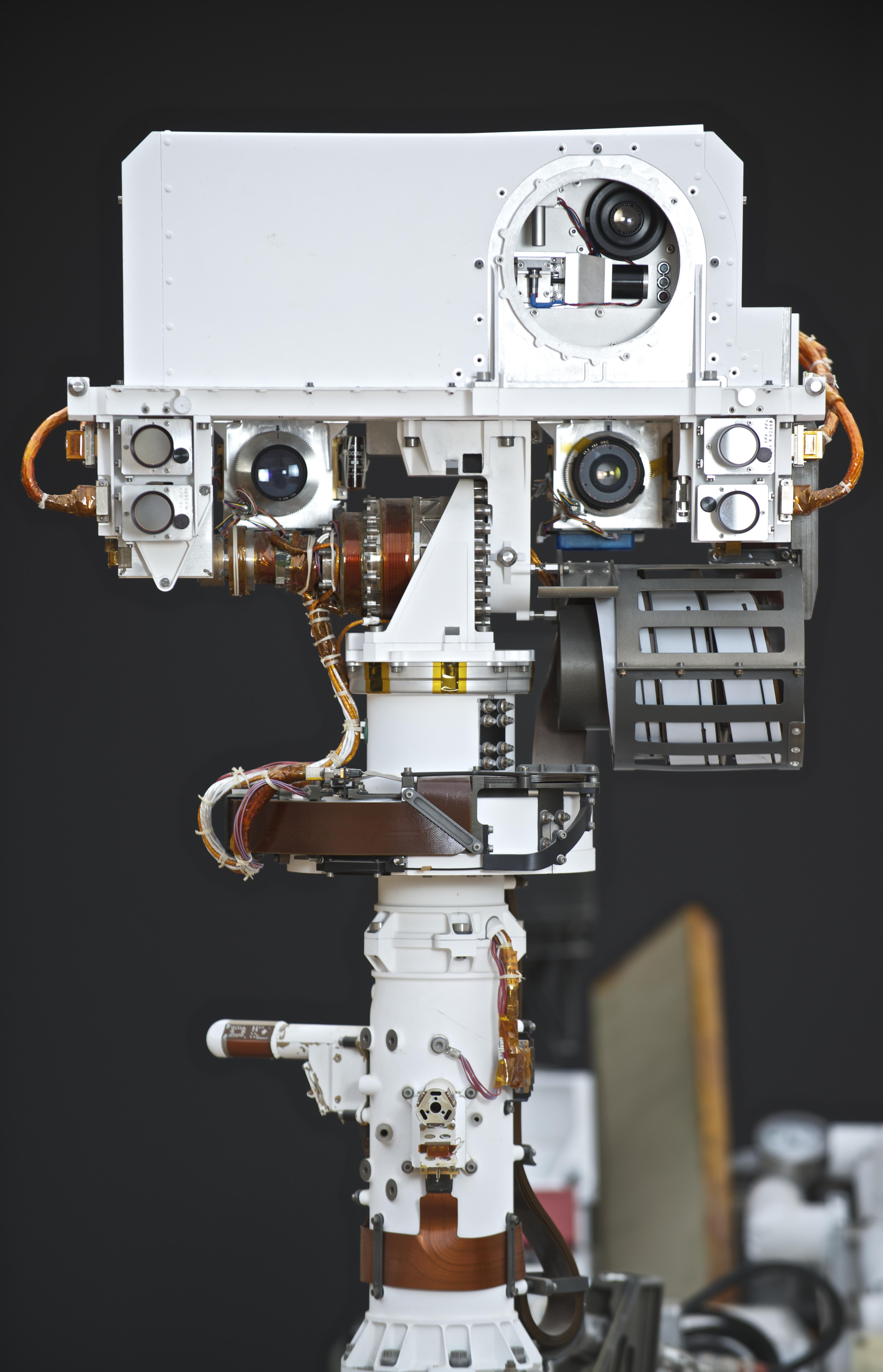
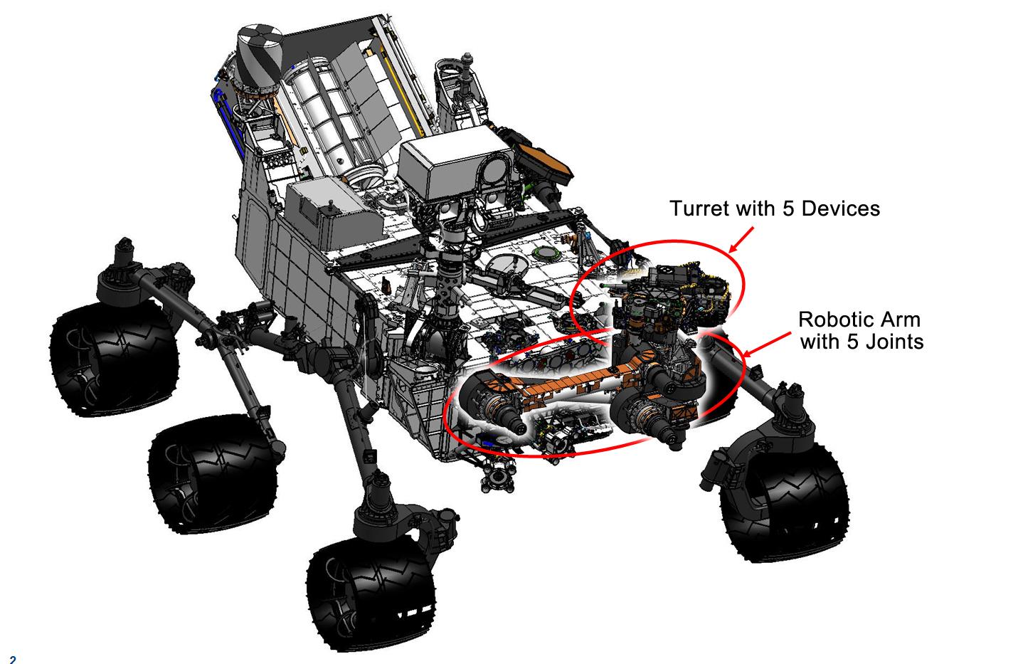
Curiosity's Robotic Arm
Full Resolution:
TIFF
(4.027 MB)
JPEG
(169 kB)
2012-09-06
Mars
Mars Science Laboratory (MSL)
1438x933x3
PIA16145:
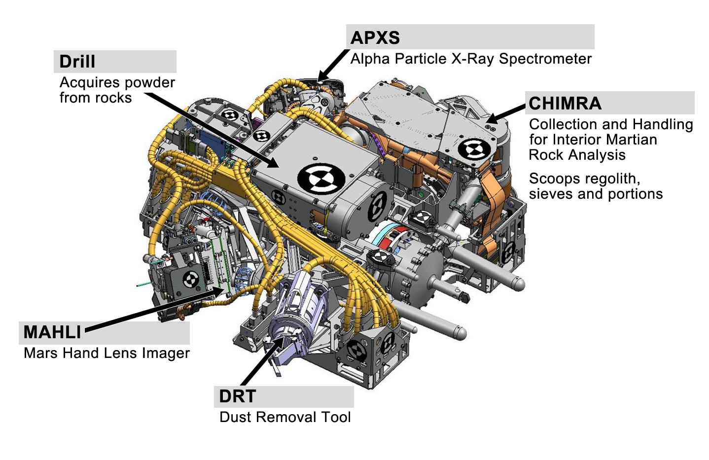
Tools at Curiosity's 'Fingertips'
Full Resolution:
TIFF
(4.027 MB)
JPEG
(192.1 kB)
2012-09-06
Mars
Mars Science Laboratory (MSL)
1438x933x3
PIA16146:
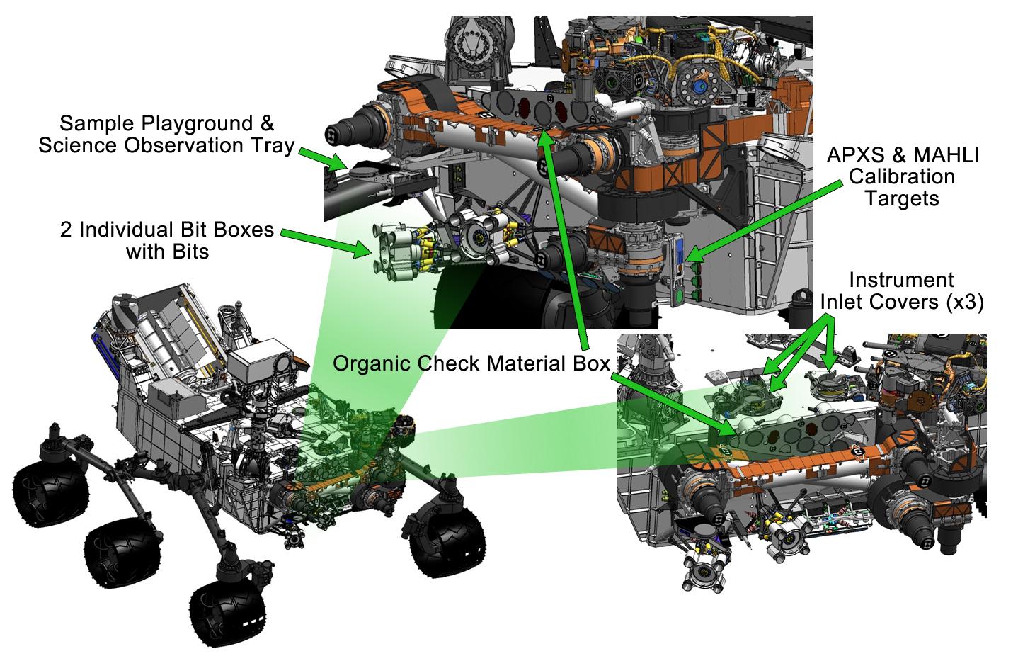
Curiosity's Work Bench
Full Resolution:
TIFF
(4.027 MB)
JPEG
(223.4 kB)
2012-09-06
Mars
Mars Science Laboratory (MSL)
1427x578x3
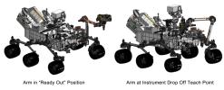
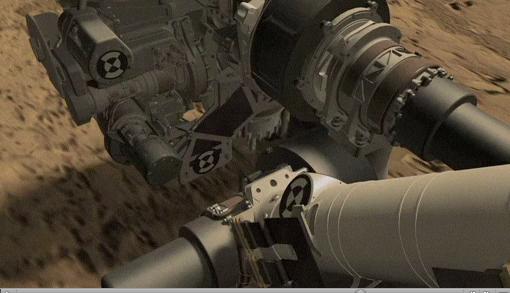
PIA16147:
Flexing Curiosity's Arm
Full Resolution:
TIFF
(2.476 MB)
JPEG
(116.9 kB)
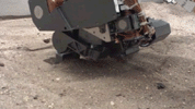
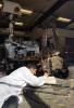
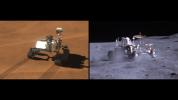
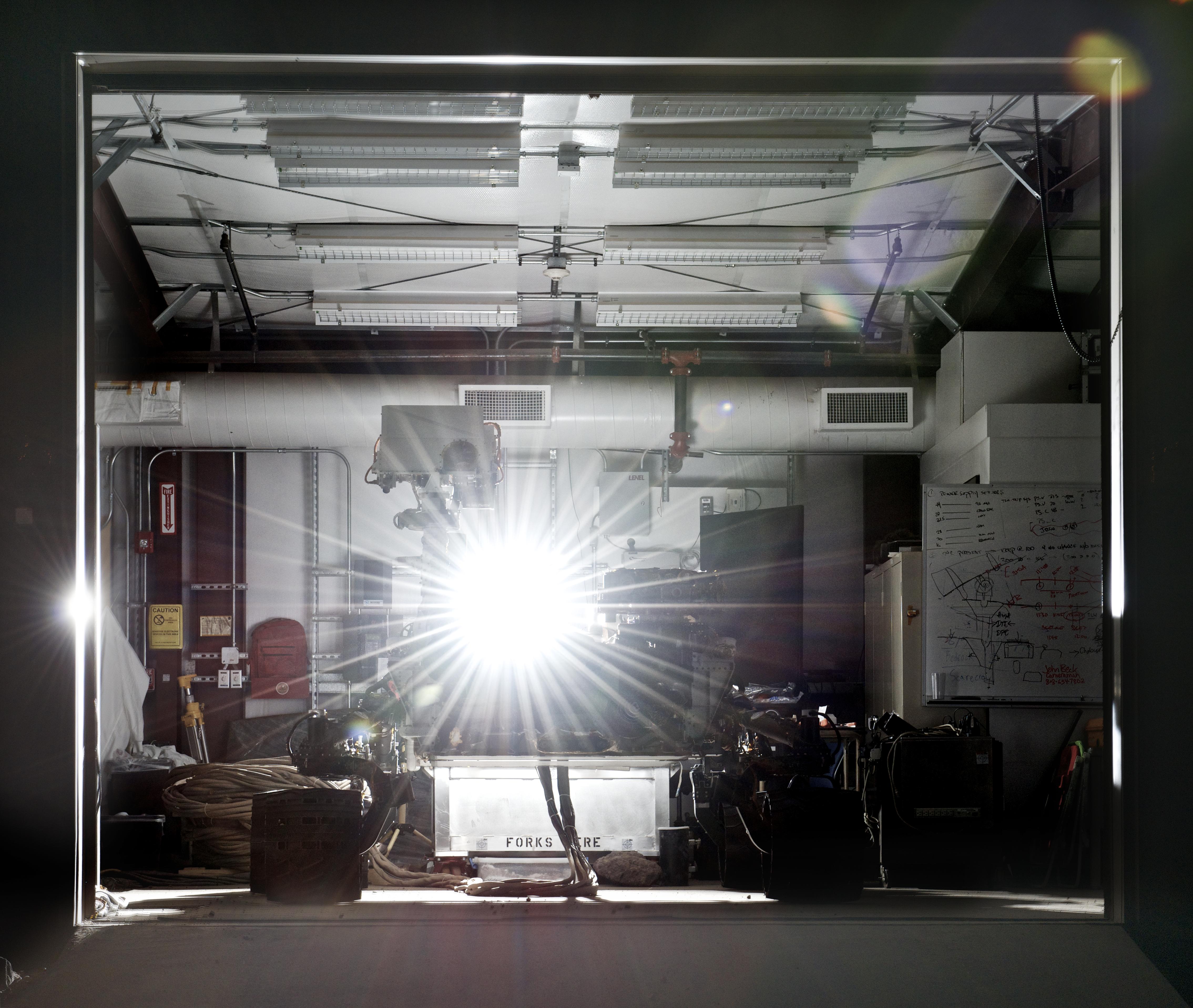
2012-10-04
Mars Science Laboratory (MSL)
1408x791x3
PIA16203:
Test Scooping for Mars Rover Curiosity
Full Resolution:
TIFF
(3.343 MB)
JPEG
(101.1 kB)
2012-11-15
Mars
Mars Science Laboratory (MSL)
1286x994x3
PIA16478:
Thermal Tides at Mars
Full Resolution:
TIFF
(3.836 MB)
JPEG
(97.88 kB)
2012-12-03
Mars
Mars Science Laboratory (MSL)
1809x1332x3
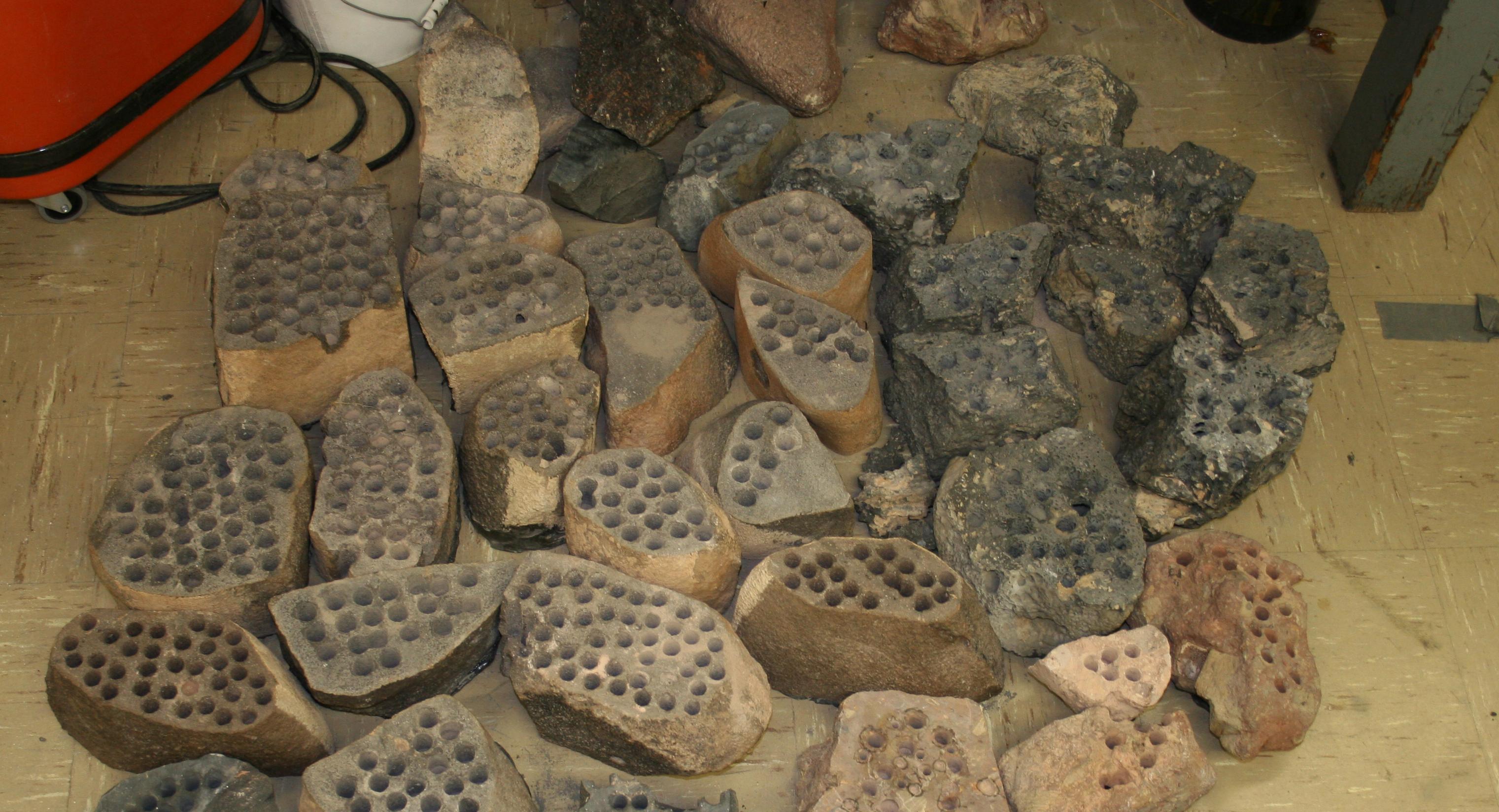
PIA16571:
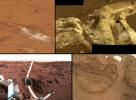
A Sampling of Martian Soils
Full Resolution:
TIFF
(7.232 MB)
JPEG
(328.1 kB)
2009-10-13
Mars Science Laboratory (MSL)
510x293x3
PIA16821:
Simulation of Curiosity Rover Drilling into Martian Bedrock
Full Resolution:
TIFF
(448.7 kB)
JPEG
(23.64 kB)
2013-02-20
Mars
Mars Science Laboratory (MSL)
3042x1648x3
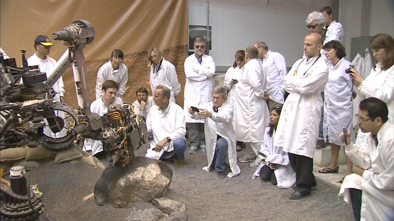
PIA16732:
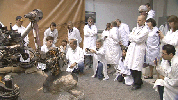
Preparation on Earth for Drilling on Mars
Full Resolution:
TIFF
(15.05 MB)
JPEG
(616.5 kB)
2013-02-20
Mars
Mars Science Laboratory (MSL)
1278x718x3
PIA16733:
Video Clip of a Rover Rock-Drilling Demonstration at JPL
Full Resolution:
TIFF
(2.754 MB)
JPEG
(165.9 kB)
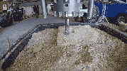
2013-03-12
Mars Science Laboratory (MSL)
1000x889x3
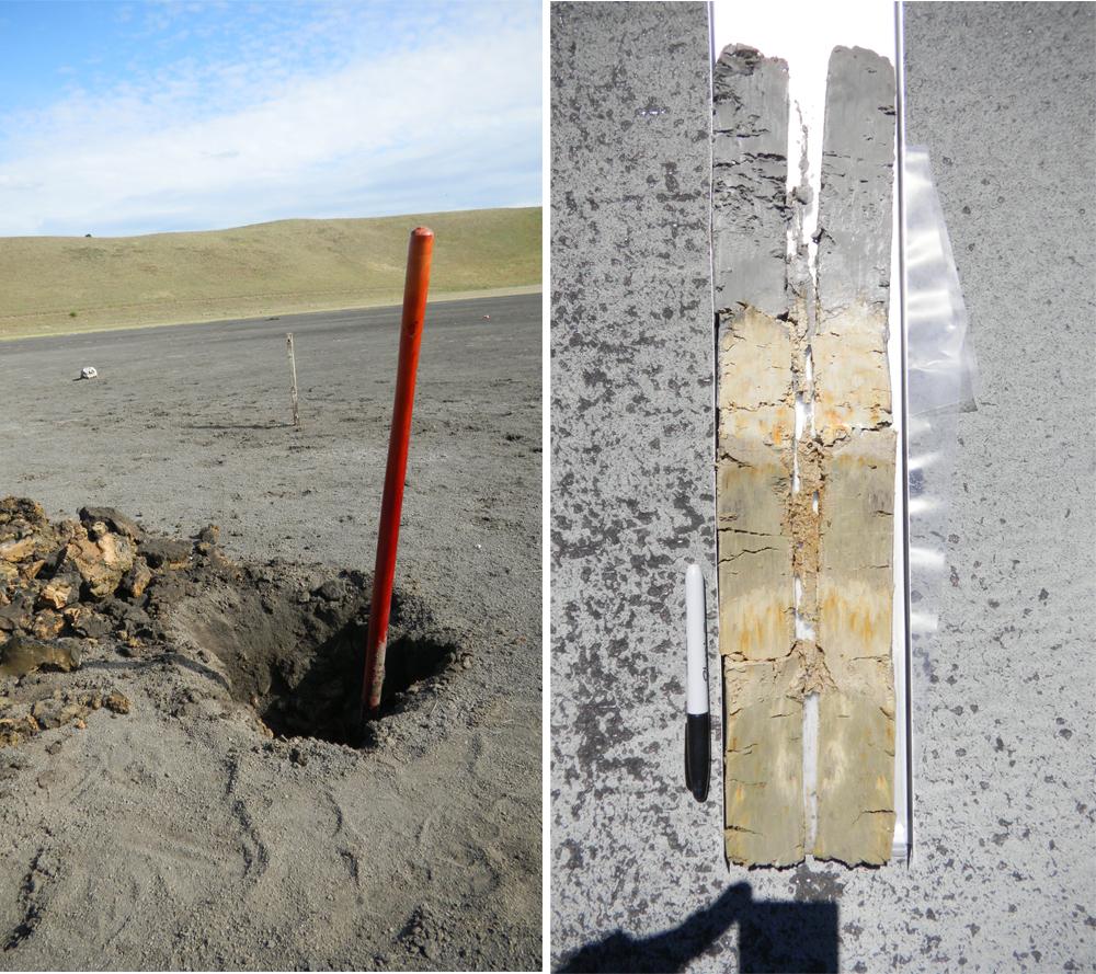
PIA16831:
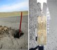
An Earth Analog to Mars' Yellowknife Bay
Full Resolution:
TIFF
(2.668 MB)
JPEG
(184 kB)
2013-12-09
Mars
Mars Science Laboratory (MSL)
960x720x3
PIA17602:
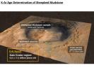
Measuring the Age of a Rock on Mars
Full Resolution:
TIFF
(2.075 MB)
JPEG
(97.66 kB)
2013-12-09
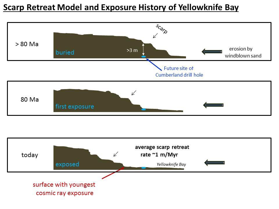
Mars
Mars Science Laboratory (MSL)
960x720x3
PIA17604:
Scarp Retreat Model and Exposure History of 'Yellowknife Bay'
Full Resolution:
TIFF
(2.075 MB)
JPEG
(64.41 kB)
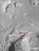
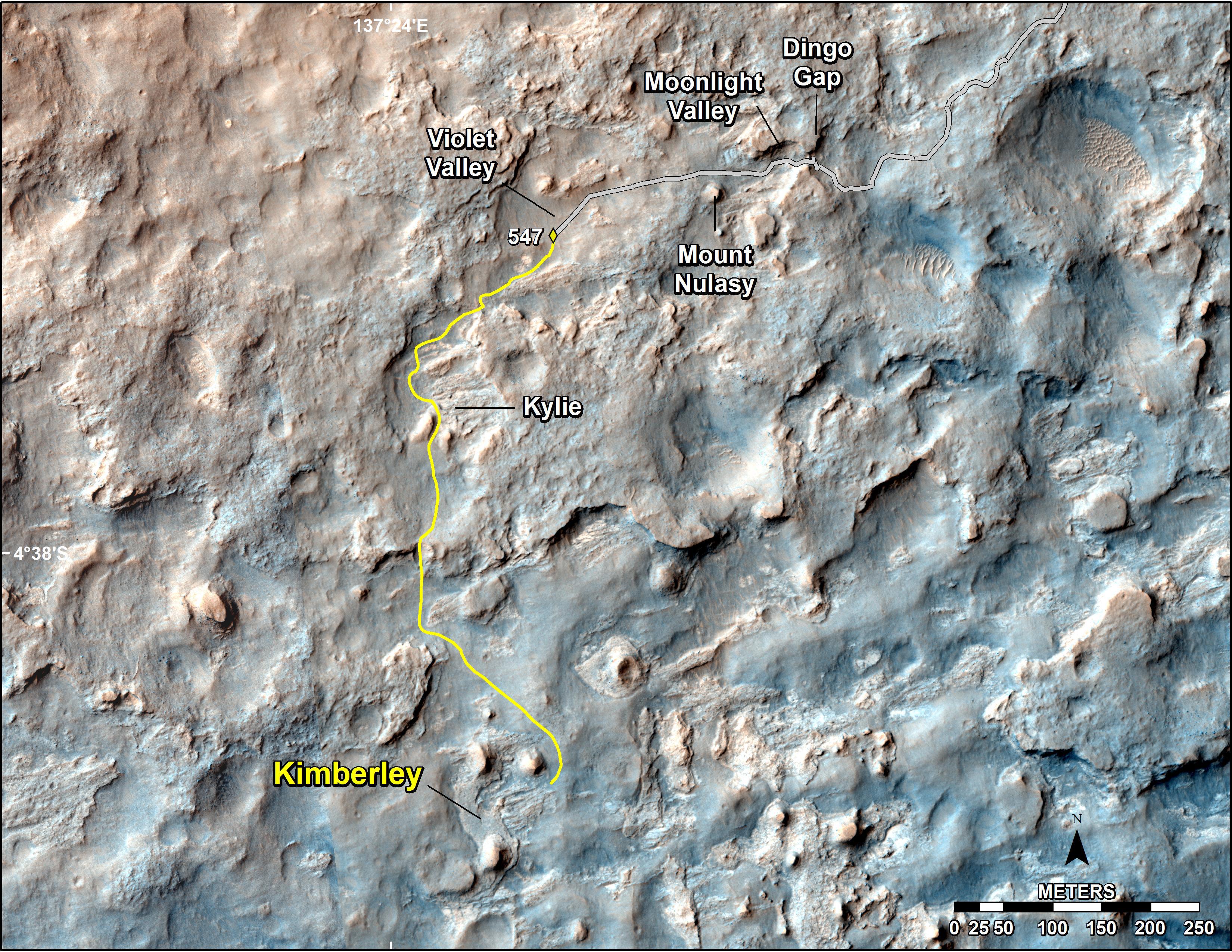
2014-02-19
Mars
Mars Science Laboratory (MSL)
3300x2550x3
PIA17946:
Map of Recent and Planned Driving by Curiosity as of Feb. 18, 2014
Full Resolution:
TIFF
(25.26 MB)
JPEG
(1.704 MB)
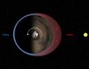
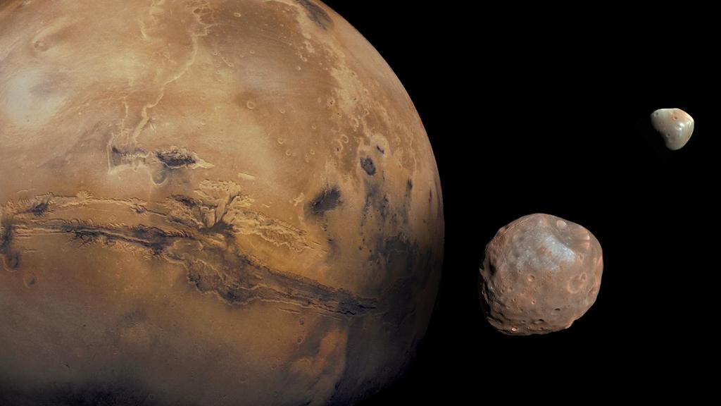
2013-08-27
Mars
Mars Science Laboratory (MSL)
1024x576x3
PIA17305:
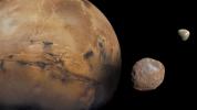
The Moons of Mars
Full Resolution:
TIFF
(1.77 MB)
JPEG
(50.88 kB)
2014-09-11
Mars
Mars Science Laboratory (MSL)
4200x1759x3
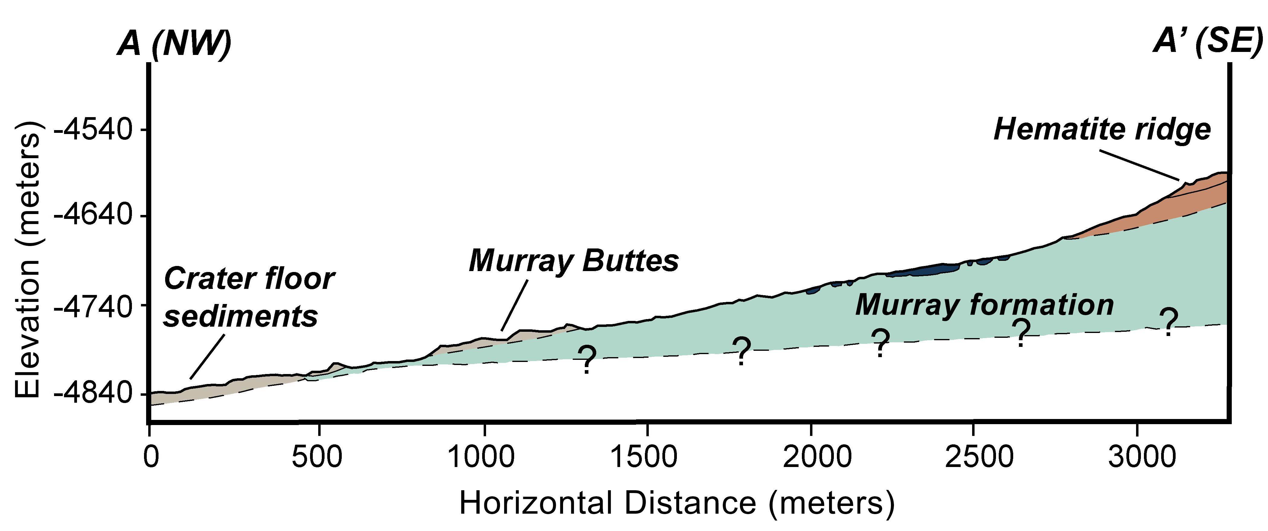
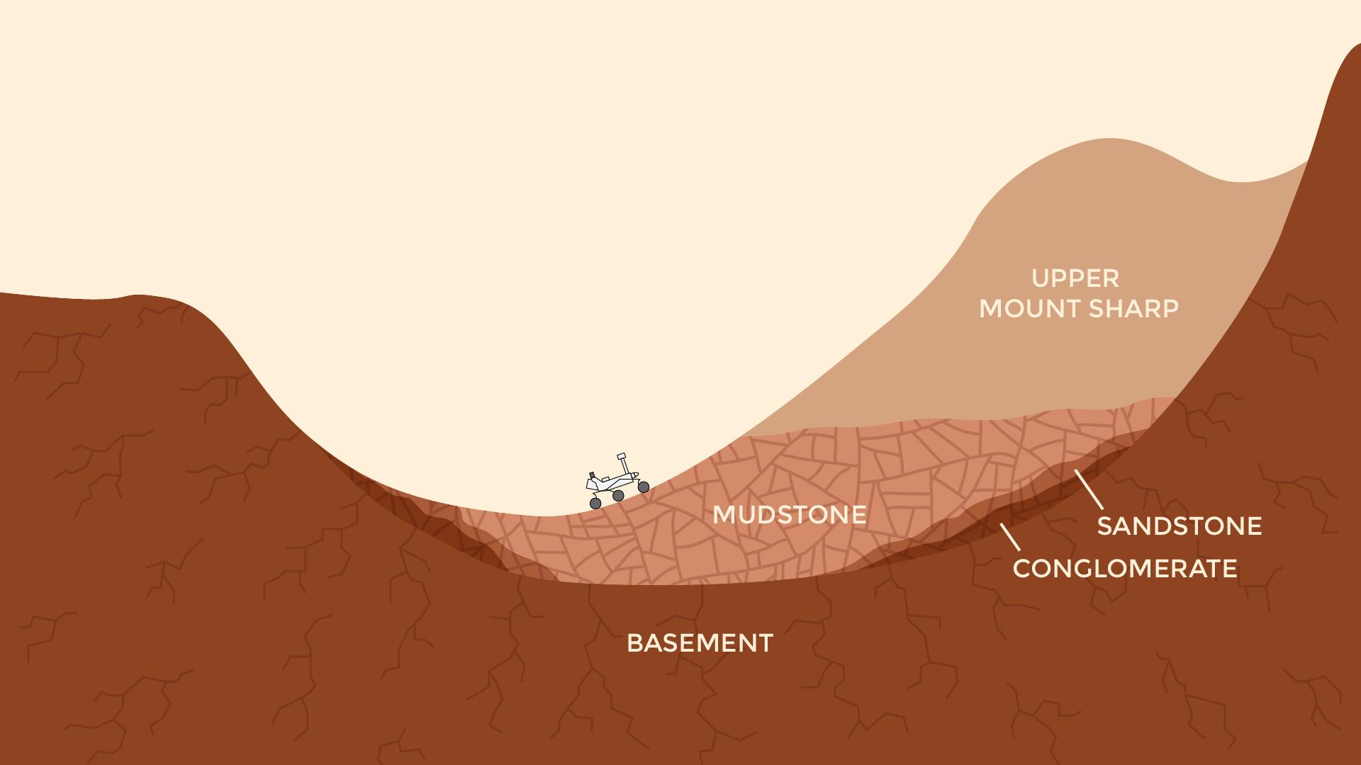
PIA18782:
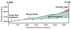
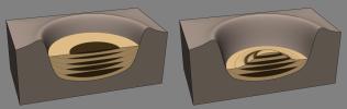
Geologic Cross-Section
Full Resolution:
TIFF
(22.18 MB)
JPEG
(366.6 kB)
2014-12-08
Mars
Mars Science Laboratory (MSL)
1931x1078x3
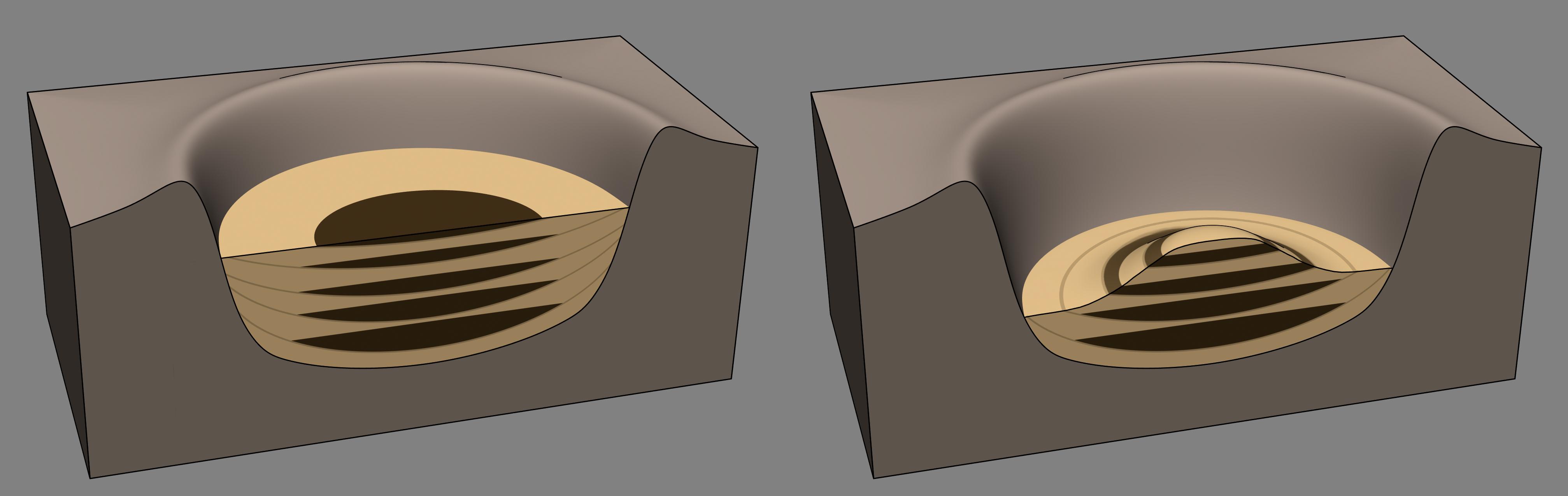
PIA19071:
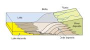
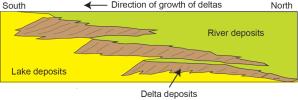
How a Delta Forms Where River Meets Lake
Full Resolution:
TIFF
(6.247 MB)
JPEG
(112.7 kB)
2014-12-08
Earth
Mars Science Laboratory (MSL)
5271x1865x3
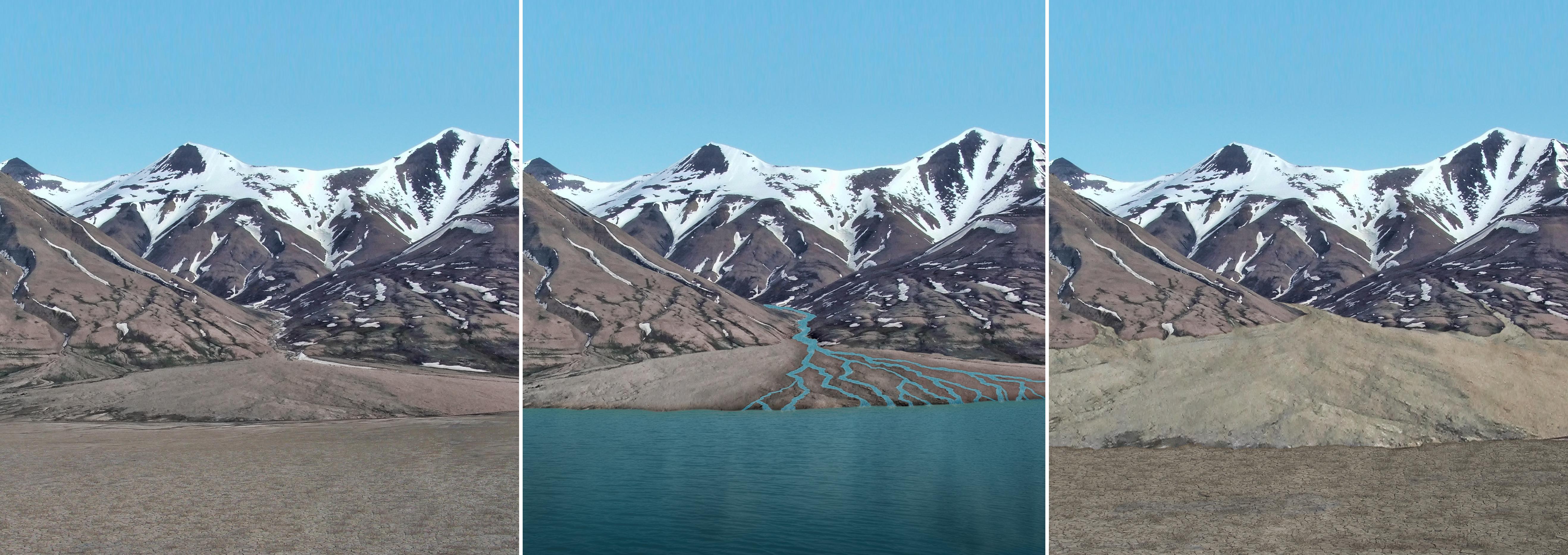
PIA19078:
Sediment Accumulation in Dry and Wet Periods
Full Resolution:
TIFF
(29.51 MB)
JPEG
(1.212 MB)
2014-12-08
Mars
Mars Science Laboratory (MSL)
4030x1275x3
PIA19079:
Sedimentation and Erosion in Gale Crater, Mars
Full Resolution:
TIFF
(15.42 MB)
JPEG
(190.5 kB)
2014-12-08
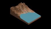
Mars
Mars Science Laboratory (MSL)
2560x1600x3
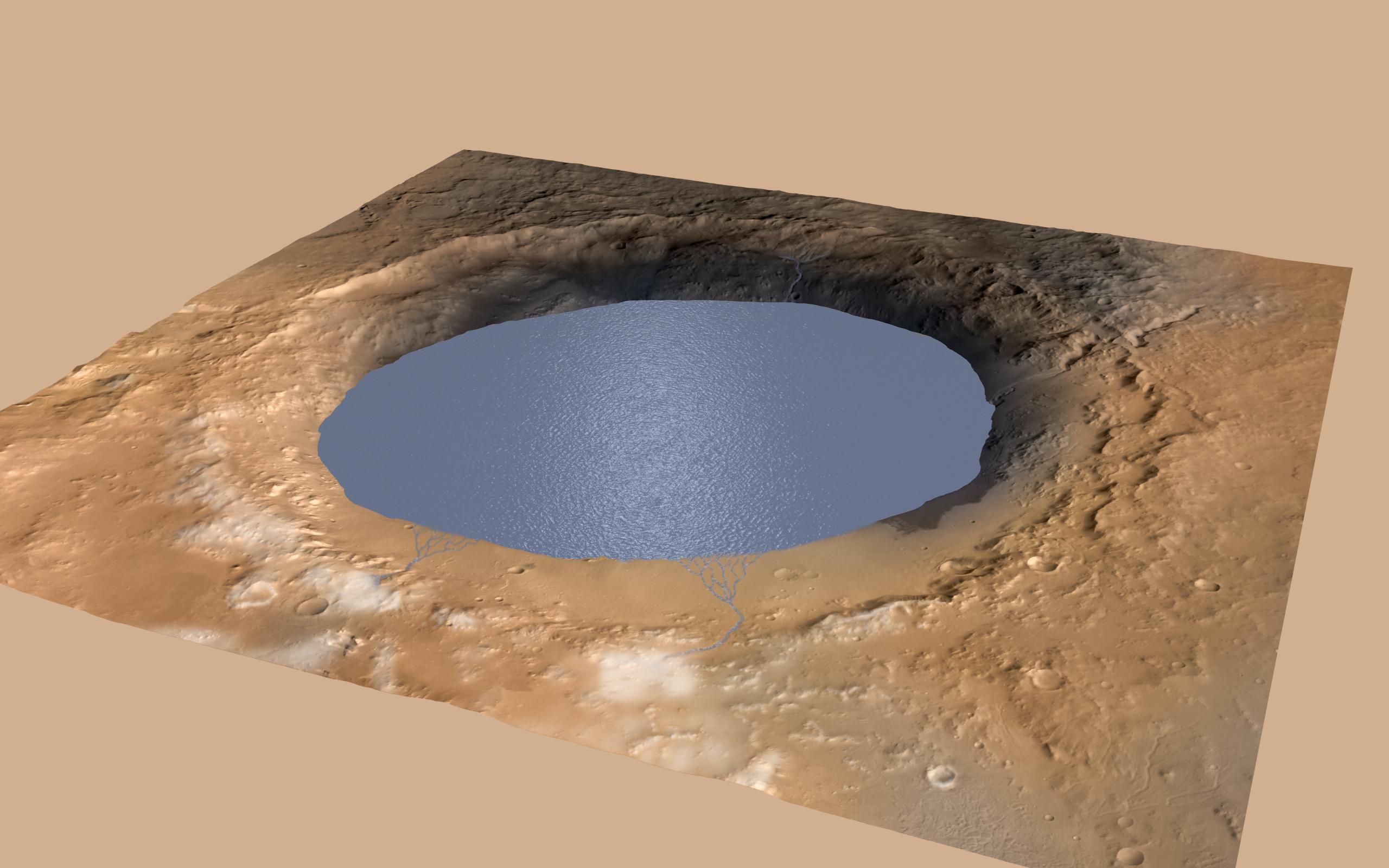
PIA19080:
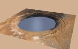
Simulated View of Gale Crater Lake on Mars
Full Resolution:
TIFF
(12.29 MB)
JPEG
(271.9 kB)
2014-12-08
Mars Science Laboratory (MSL)
1391x467x3
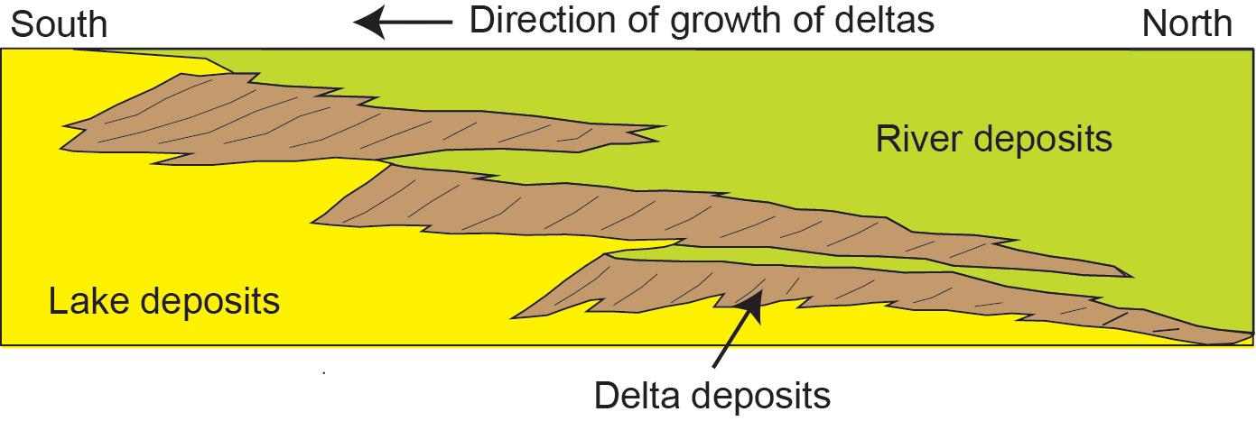
PIA19073:
Multiple Deltas Built Out Over Time
Full Resolution:
TIFF
(1.95 MB)
JPEG
(69.82 kB)
2015-11-24
Mars
Mars Science Laboratory (MSL)
1000x1650x3
PIA20163:
Carbon Exchange and Loss Processes on Mars
Full Resolution:
TIFF
(387.2 kB)
JPEG
(116.4 kB)
2016-12-13
Mars
Mars Science Laboratory (MSL)
1490x804x3
PIA21145:
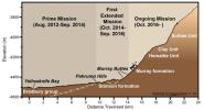
Curiosity Rover's Martian Mission, Exaggerated Cross Section
Full Resolution:
TIFF
(994.6 kB)
JPEG
(101.3 kB)
2016-12-13
Mars
Mars Science Laboratory (MSL)
2969x1612x3
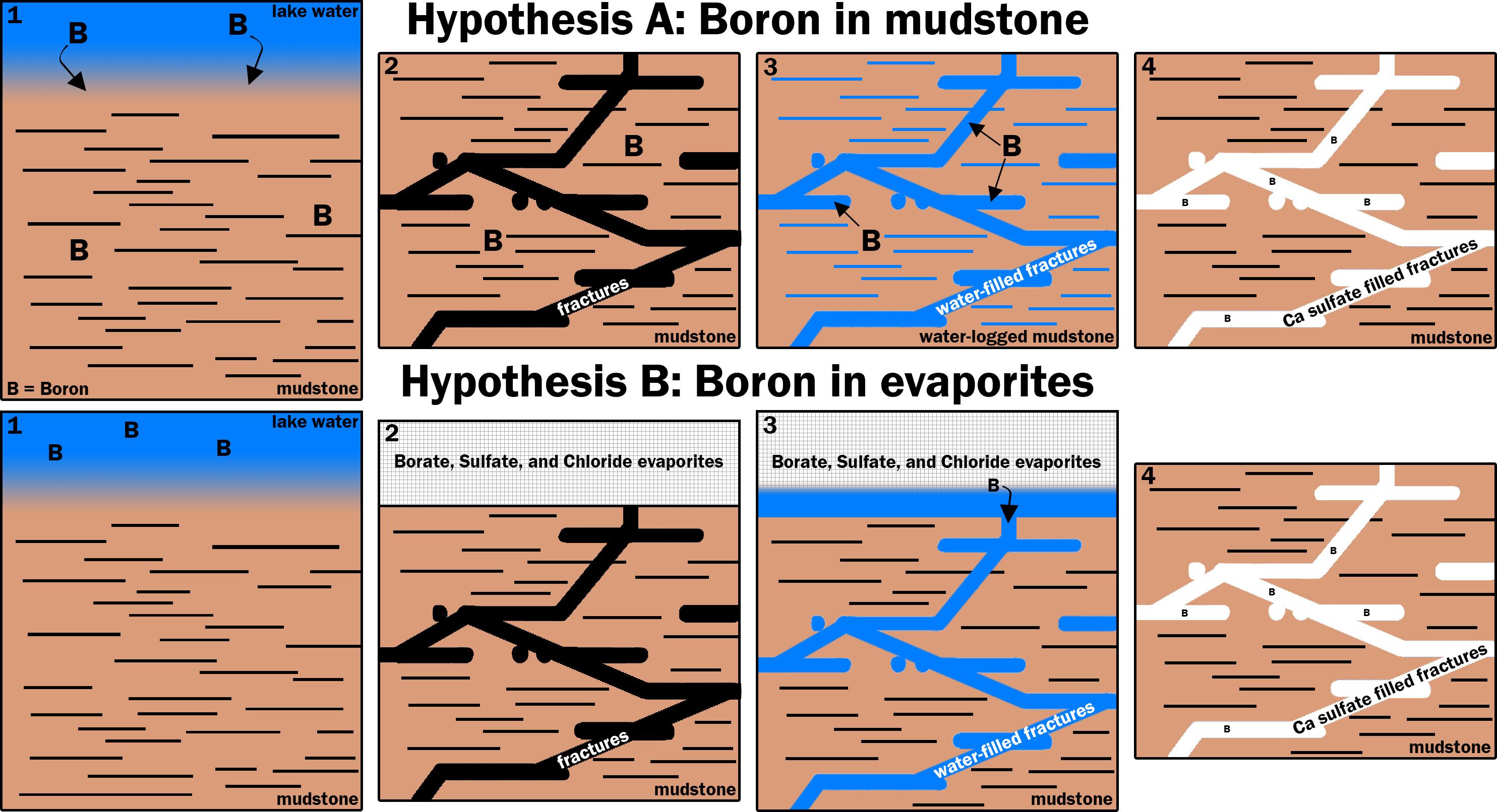
PIA21253:
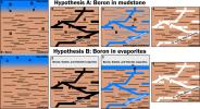
Two Possible Ways Boron Got into Veins on Mount Sharp
Full Resolution:
TIFF
(1.52 MB)
JPEG
(540.5 kB)
2016-12-13
Mars
Mars Science Laboratory (MSL)
1920x1080x3
PIA21255:
Now and Long Ago at Gale Crater, Mars (Illustration)
Full Resolution:
TIFF
(491.6 kB)
JPEG
(77.52 kB)
2017-06-01
Mars
Mars Science Laboratory (MSL)
2858x1213x3
PIA21500:
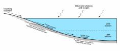
Diagram of Lake Stratification on Mars
Full Resolution:
TIFF
(469.2 kB)
JPEG
(191.1 kB)
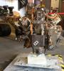
2017-10-23
Mars Science Laboratory (MSL)
2481x3657x3
PIA22061:
Testing New Techniques for Mars Rover Rock-Drilling
Full Resolution:
TIFF
(21.99 MB)
JPEG
(1.032 MB)
2017-10-23
Mars Science Laboratory (MSL)
2294x2554x3
PIA22062:
New Rock-Drilling Method in 'Mars Yard' Test
Full Resolution:
TIFF
(16.37 MB)
JPEG
(603 kB)
2017-10-23
Mars
Mars Science Laboratory (MSL)
1024x512x1
PIA22063:
Mars Rover Step Toward Possible Resumption of Drilling
Full Resolution:
TIFF
(525 kB)
JPEG
(84.28 kB)
2018-01-30
Mars
Mars Science Laboratory (MSL)
2550x3300x3
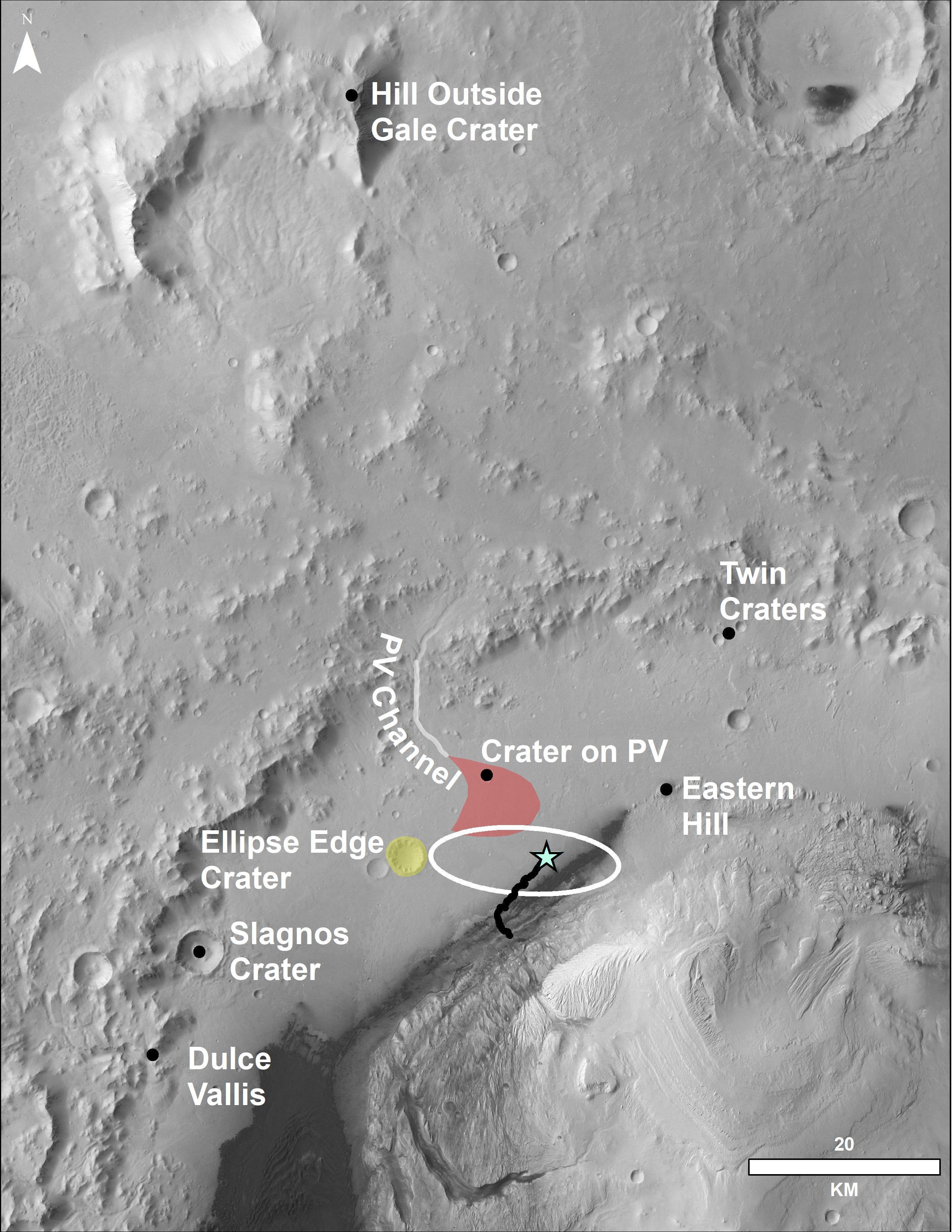
PIA22208:
Locator Map for Features in Curiosity Panorama
Full Resolution:
TIFF
(11.68 MB)
JPEG
(916.2 kB)
2018-05-17
Mars Science Laboratory (MSL)
1280x716x3
PIA22324:
Percussive Drill Test at JPL
Full Resolution:
TIFF
(2.751 MB)
JPEG
(206.9 kB)
2019-01-31
Mars Science Laboratory (MSL)
1600x900x3
PIA23041:
A Mars Buggy and a Moon Buggy
Full Resolution:
TIFF
(1.923 MB)
JPEG
(79.15 kB)
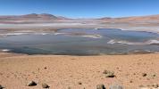
2019-10-07
Mars Science Laboratory (MSL)
1400x788x3
PIA23374:
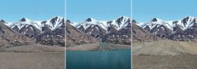
South America's Altiplano Looks Like Mars
Full Resolution:
TIFF
(2.869 MB)
JPEG
(224.2 kB)
2019-10-07
Mars Science Laboratory (MSL)
1600x900x3
PIA23375:
Sutton Island Model of Drying Lakes (Animation)
Full Resolution:
TIFF
(740.5 kB)
JPEG
(117.8 kB)
2020-04-14
Mars
Mars Science Laboratory (MSL)
2883x1633x3
PIA23773:
Curiosity's Team Teleworks
Full Resolution:
TIFF
(14.02 MB)
JPEG
(630.3 kB)
2023-06-08
Mars
Mars Science Laboratory (MSL)
13200x10200x3
PIA25914:
Curiosity's Quadrant Themes
Full Resolution:
TIFF
(147.4 MB)
JPEG
(15.53 MB)
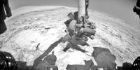
2023-09-18
Mars
Mars Science Laboratory (MSL)
3006x1813x3
PIA26020:
Rendering Depicts Curiosity at Gediz Vallis Ridge
Full Resolution:
TIFF
(16.36 MB)
JPEG
(960.6 kB)
2023-09-18
Mars
Mars Science Laboratory (MSL)
1280x720x3
PIA26042:
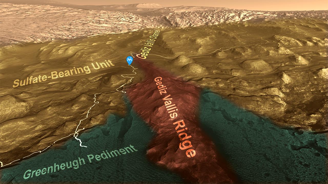
Curiosity's Path to Gediz Vallis Ridge and Beyond
Full Resolution:
TIFF
(2.571 MB)
JPEG
(183.2 kB)
1-100
101-200
201-300
301-400
401-500
501-600
601-700
701-800
801-900
901-1000
Currently displaying images:
1001 - 1046
of 1046


