Your search criteria found
1717
images
Mission
Go to PIAxxxxx:
Refine this list of images by:
Target:
Deimos
Earth
Mars
Moon
Phobos
Vesta
Spacecraft:
Curiosity
Mars Reconnaissance Orbiter (MRO)
Mars Science Laboratory (MSL)
Opportunity
Phoenix Lander
Instrument:
Compact Reconnaissance Imaging Spectrometer for Mars (CRISM)
Context Camera (CTX)
High Resolution Imaging Science Experiment (HiRISE)
Mars Climate Sounder (MCS)
Mars Color Imager (MARCI)
Mars Orbiter Laser Altimeter
Optical Navigation Camera
Shallow Subsurface Radar (SHARAD)
Click on an image for detailed information
Click on a column heading to sort in ascending or descending order
My
List
Addition Date
Target
Mission
Instrument
Size
2018-10-29
Mars
Mars Reconnaissance Orbiter (MRO)
HiRISE
2880x1800x3
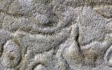
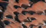
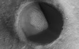
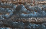
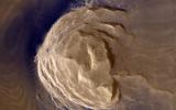
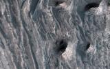
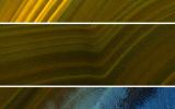
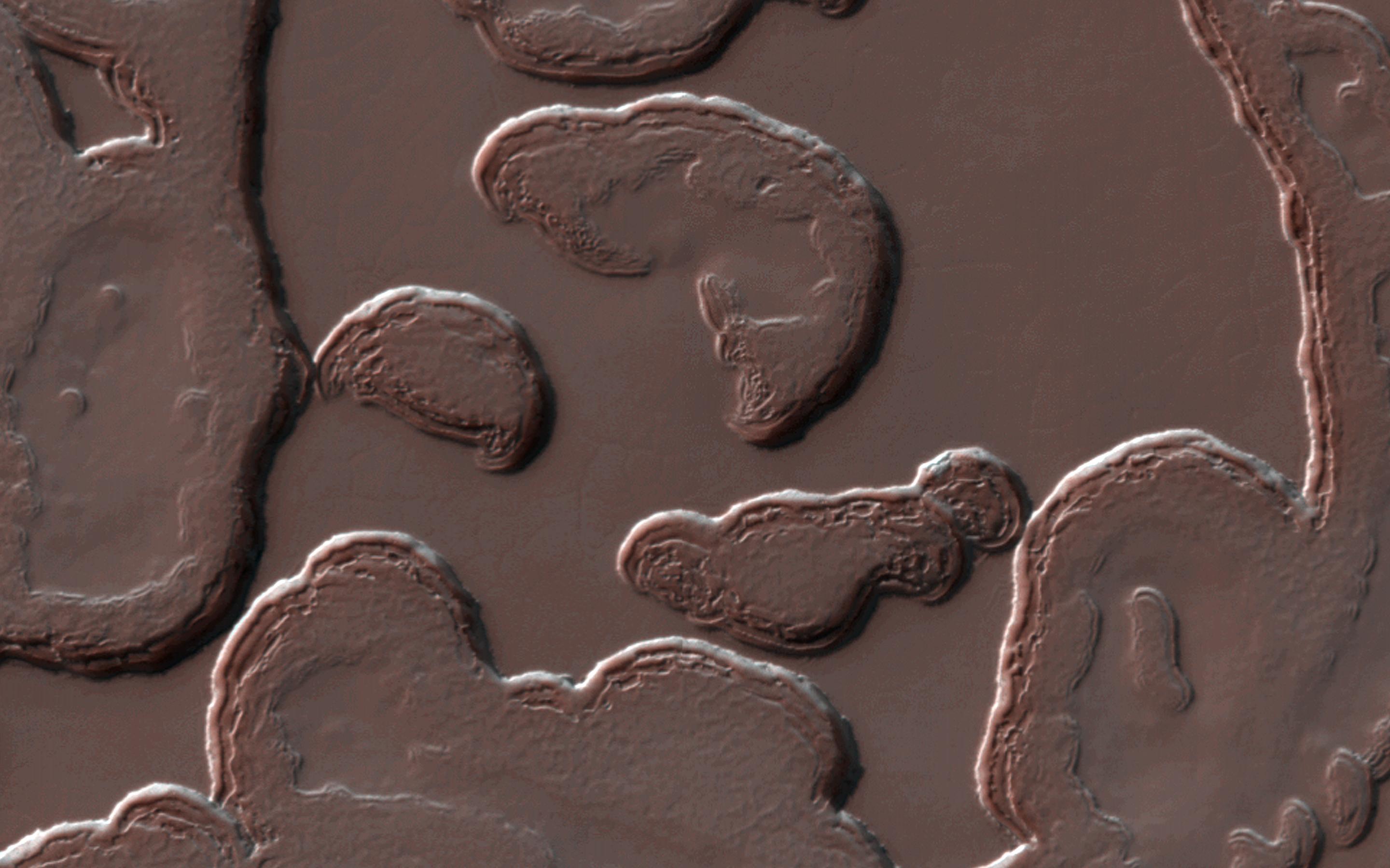
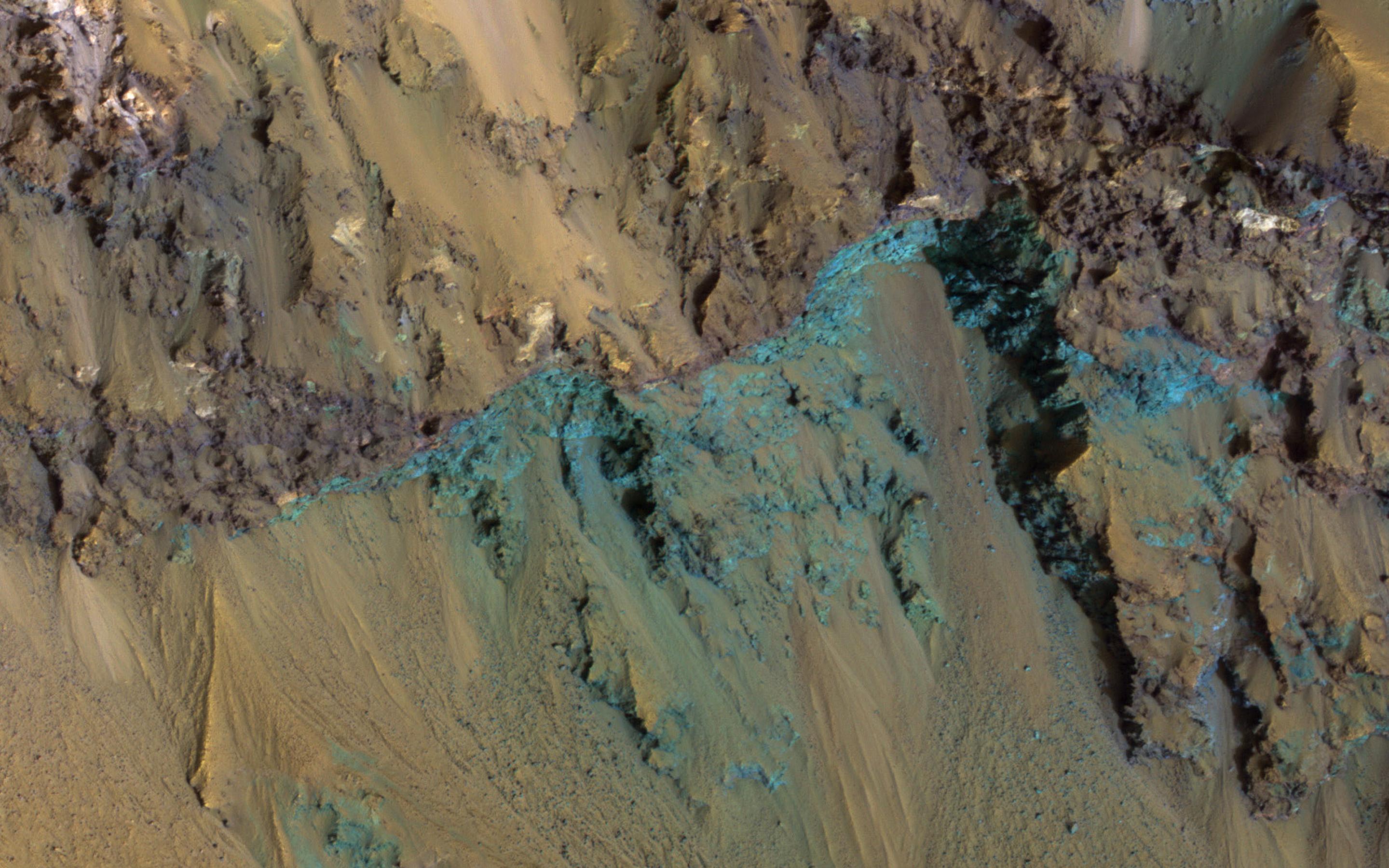
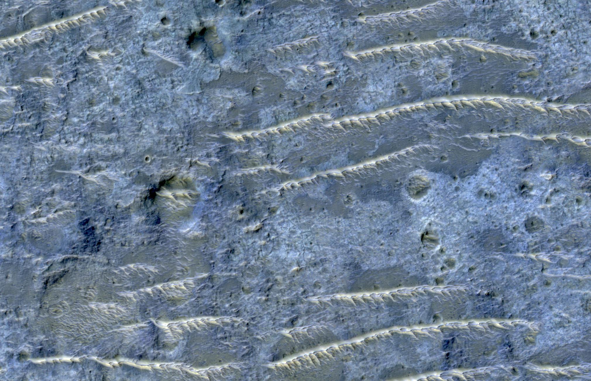
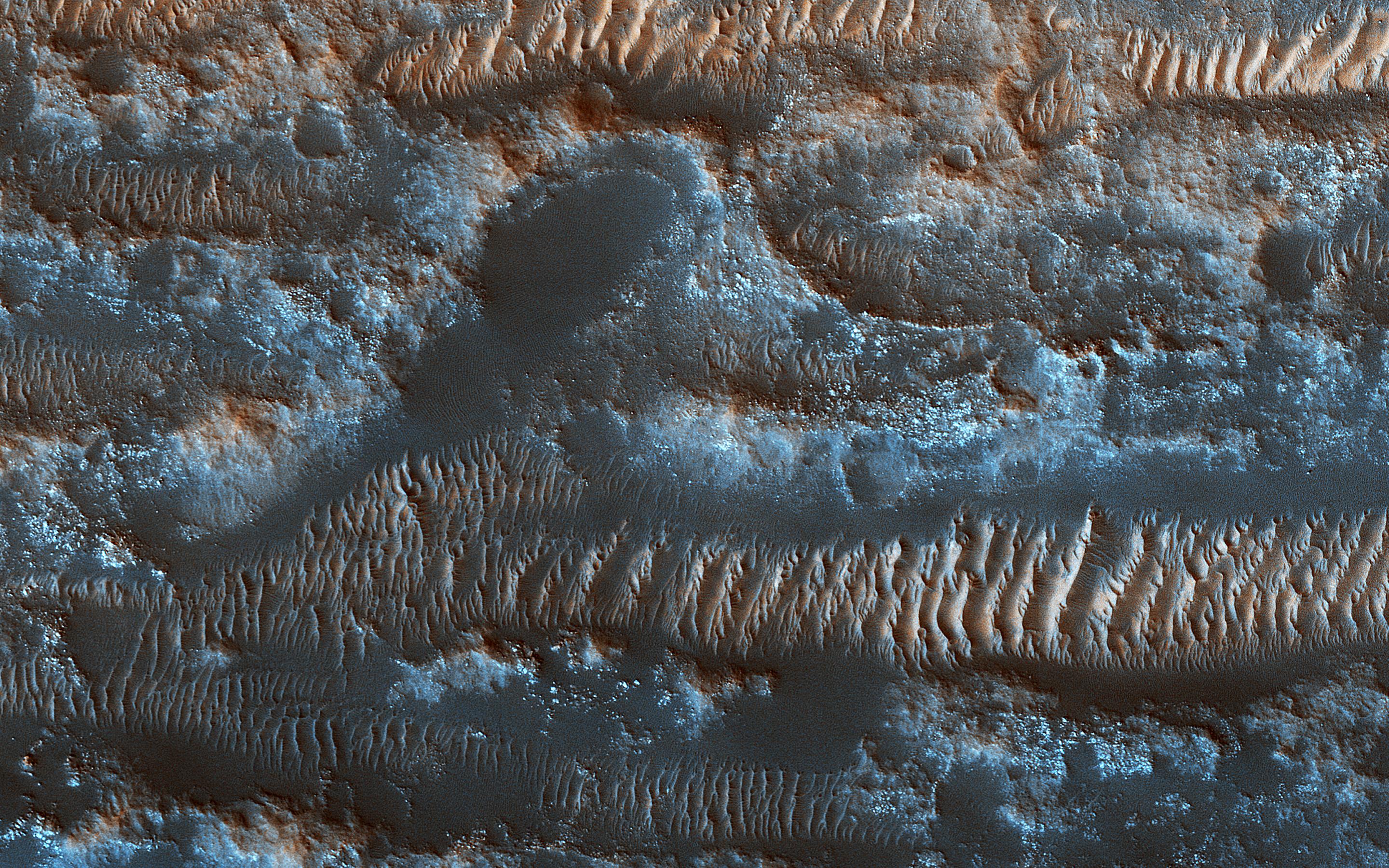
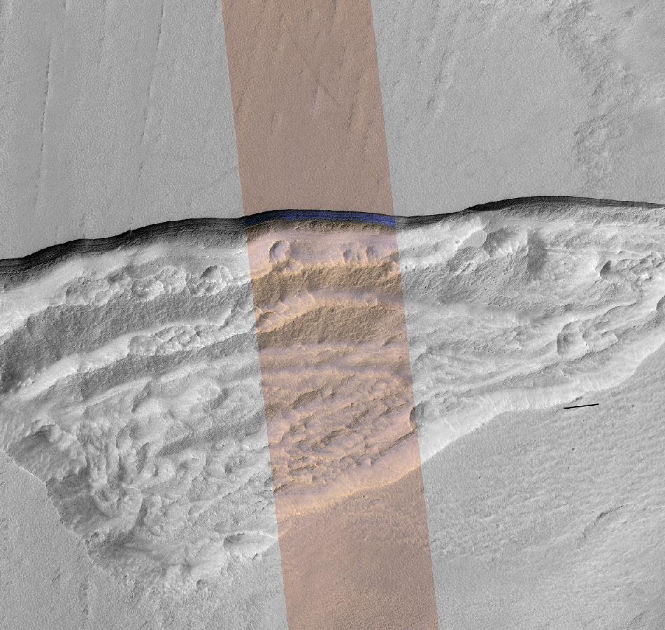
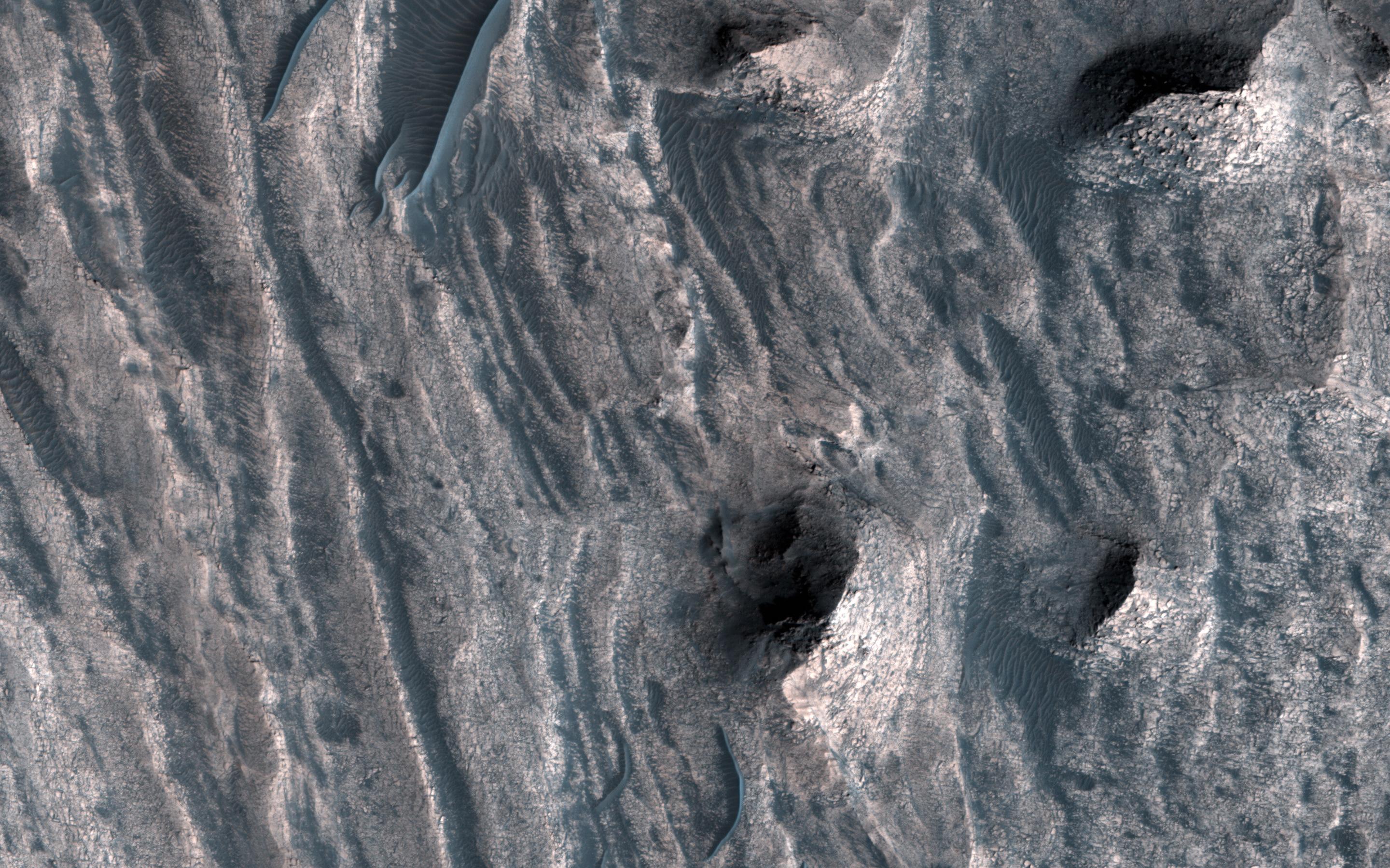
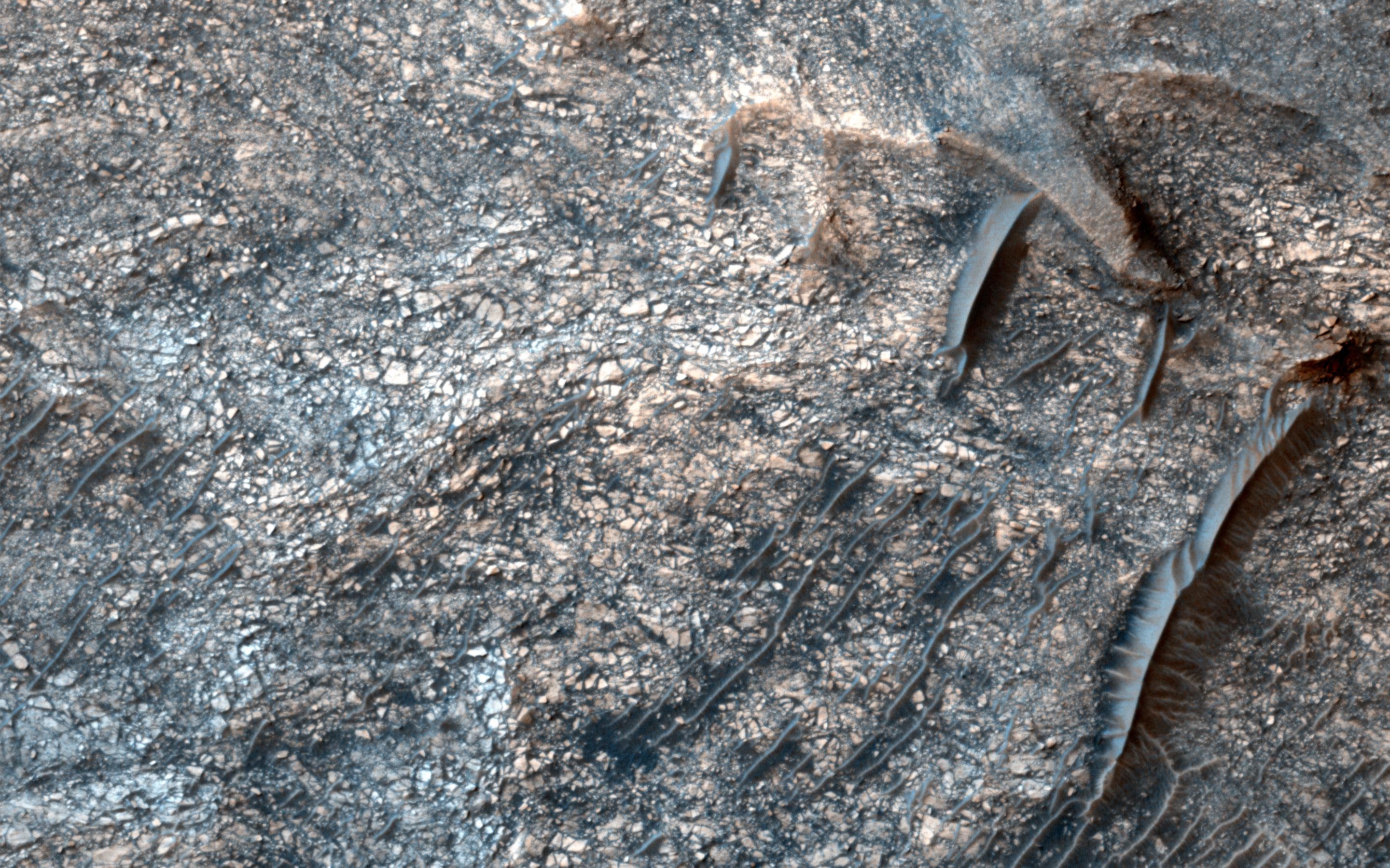
PIA22803:
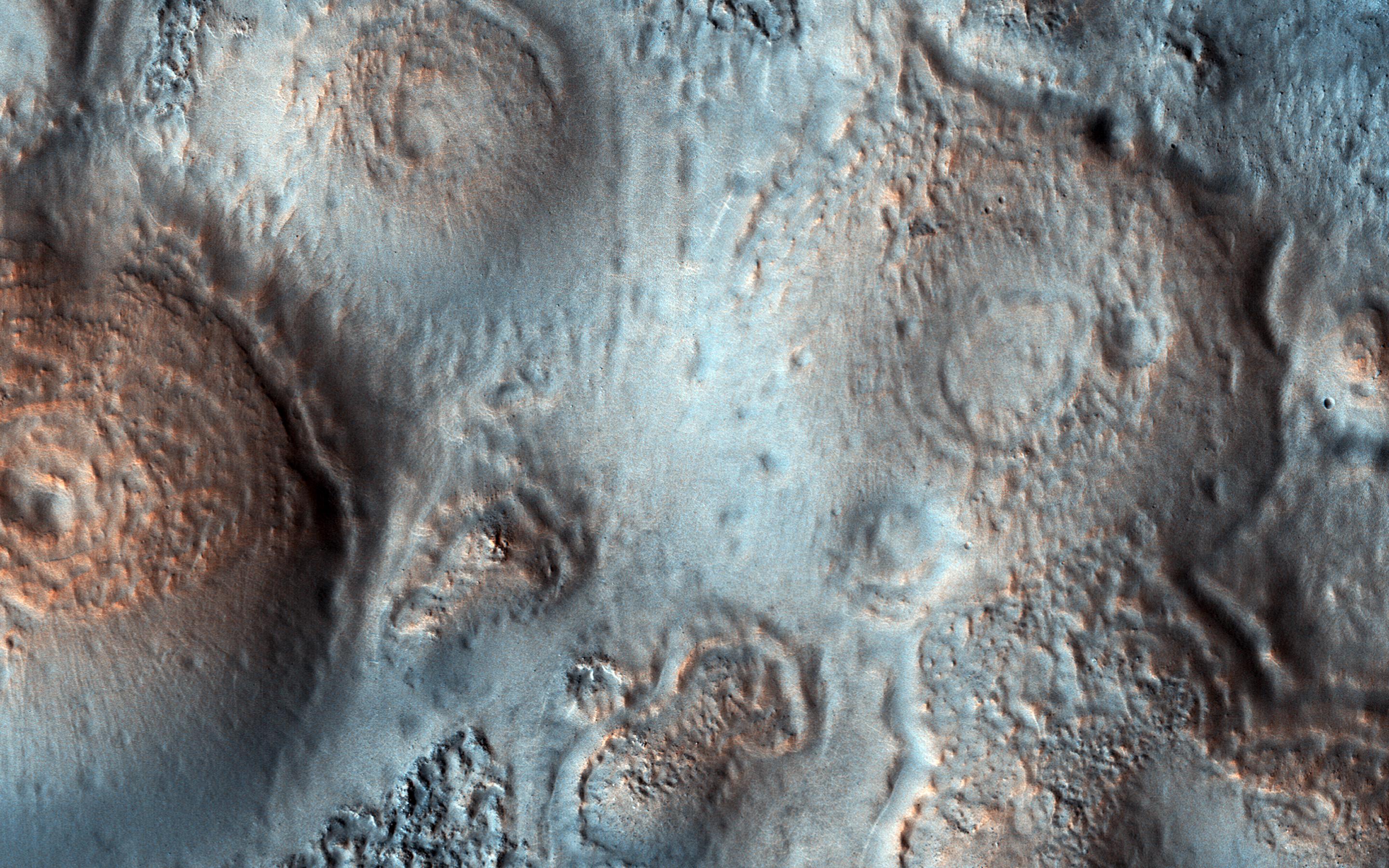
Curving Ridges and Pits
Full Resolution:
TIFF
(15.56 MB)
JPEG
(1.19 MB)
2018-10-15
Mars
Mars Reconnaissance Orbiter (MRO)
HiRISE
2880x1800x3
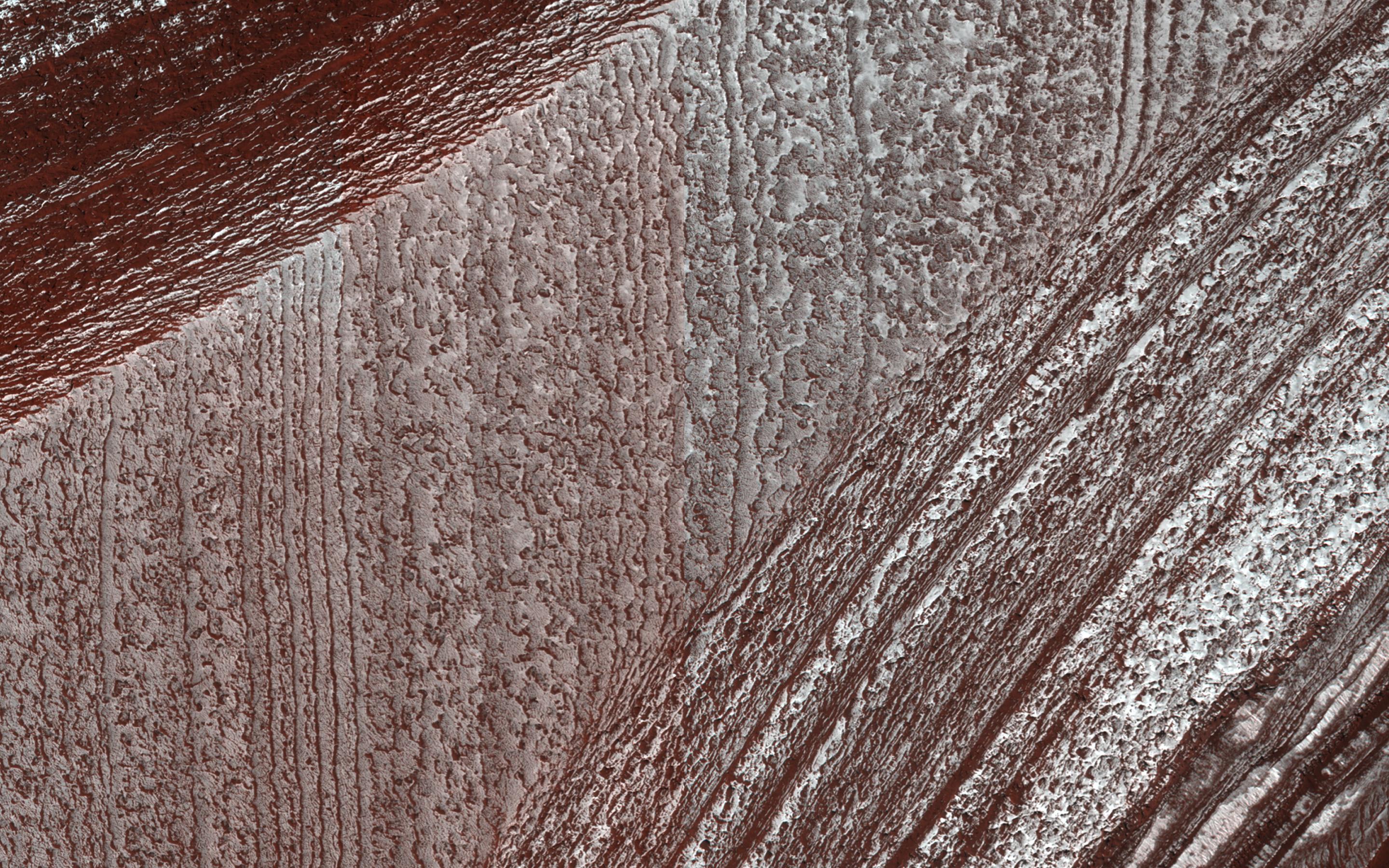
PIA22729:
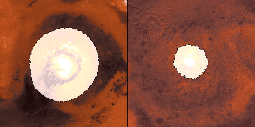
Dramatic Changes over the South Polar Residual Cap
Full Resolution:
TIFF
(12.63 MB)
JPEG
(368.5 kB)
2018-10-15
Mars
Mars Reconnaissance Orbiter (MRO)
HiRISE
2880x1800x3
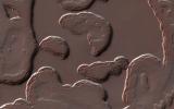
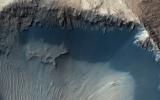
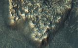
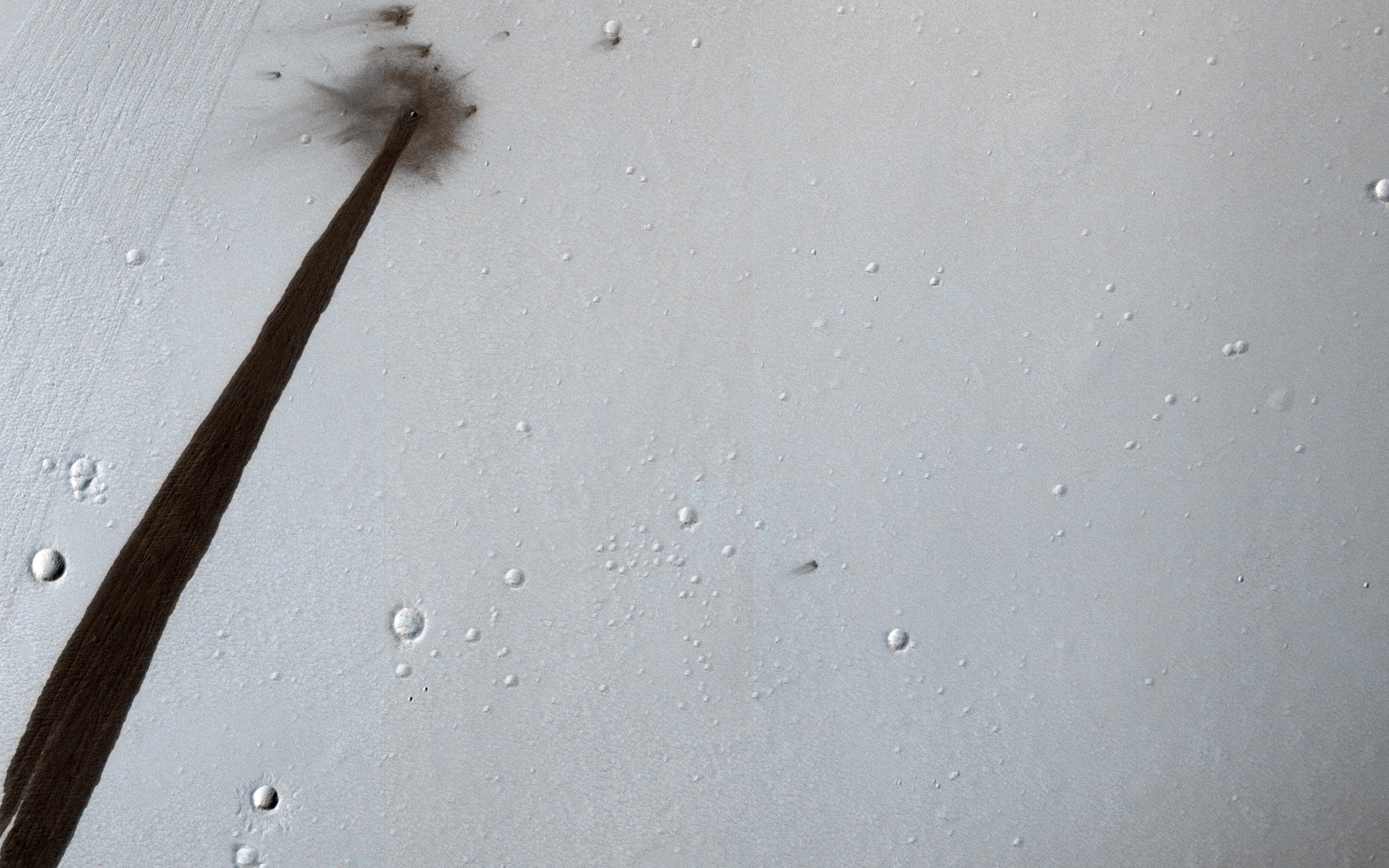
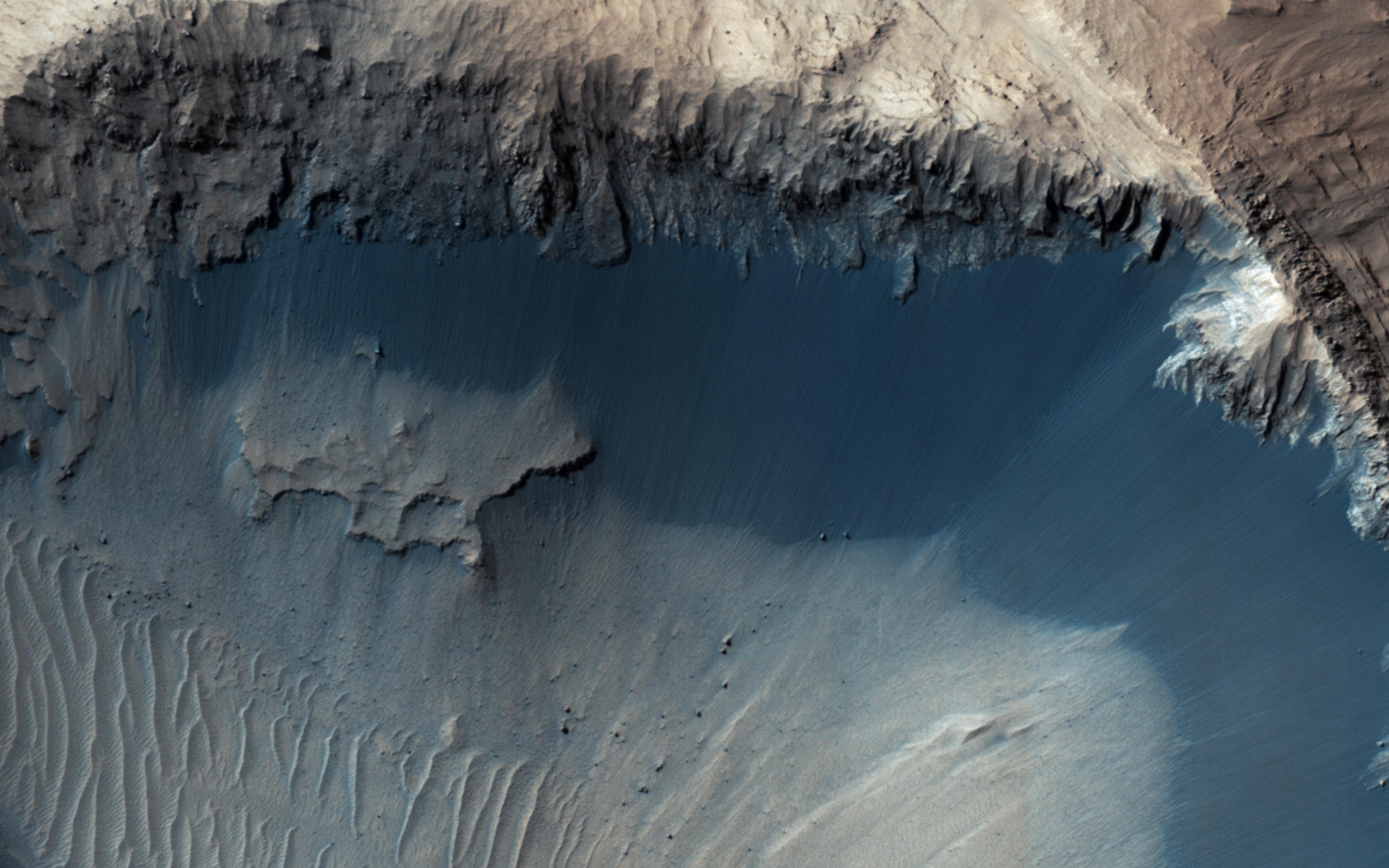
PIA22728:
The Pits of Elysium Mons
Full Resolution:
TIFF
(5.191 MB)
JPEG
(873.3 kB)
2018-10-15
Mars
Mars Reconnaissance Orbiter (MRO)
HiRISE
2880x1800x3
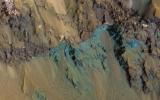
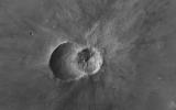
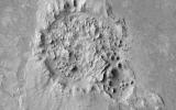
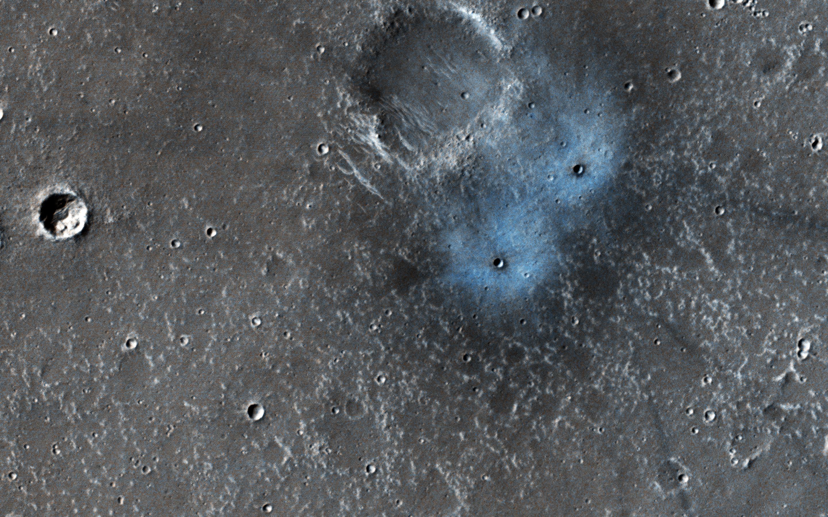
PIA22727:
Colorful Impact
Full Resolution:
TIFF
(15.56 MB)
JPEG
(603.7 kB)
2018-10-15
Mars
Mars Reconnaissance Orbiter (MRO)
HiRISE
2880x1800x3
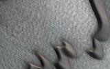
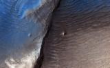
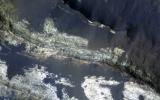
PIA22725:
Rising Above It in Amazonis Planitia
Full Resolution:
TIFF
(5.191 MB)
JPEG
(1.09 MB)
2018-10-01
Mars
Mars Reconnaissance Orbiter (MRO)
HiRISE
2880x1800x3
PIA22785:
Summit Dunes and Their Sand Sources
Full Resolution:
TIFF
(15.56 MB)
JPEG
(929.3 kB)
2018-10-01
Mars
Mars Reconnaissance Orbiter (MRO)
HiRISE
2880x1800x3
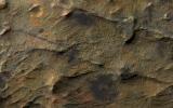
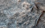
PIA22784:
Tell-Tale Bedrock in Tyrrhena Terra
Full Resolution:
TIFF
(14.97 MB)
JPEG
(613.2 kB)
2018-10-01
Mars
Mars Reconnaissance Orbiter (MRO)
HiRISE
2880x1800x3
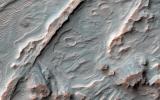
PIA22783:
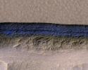
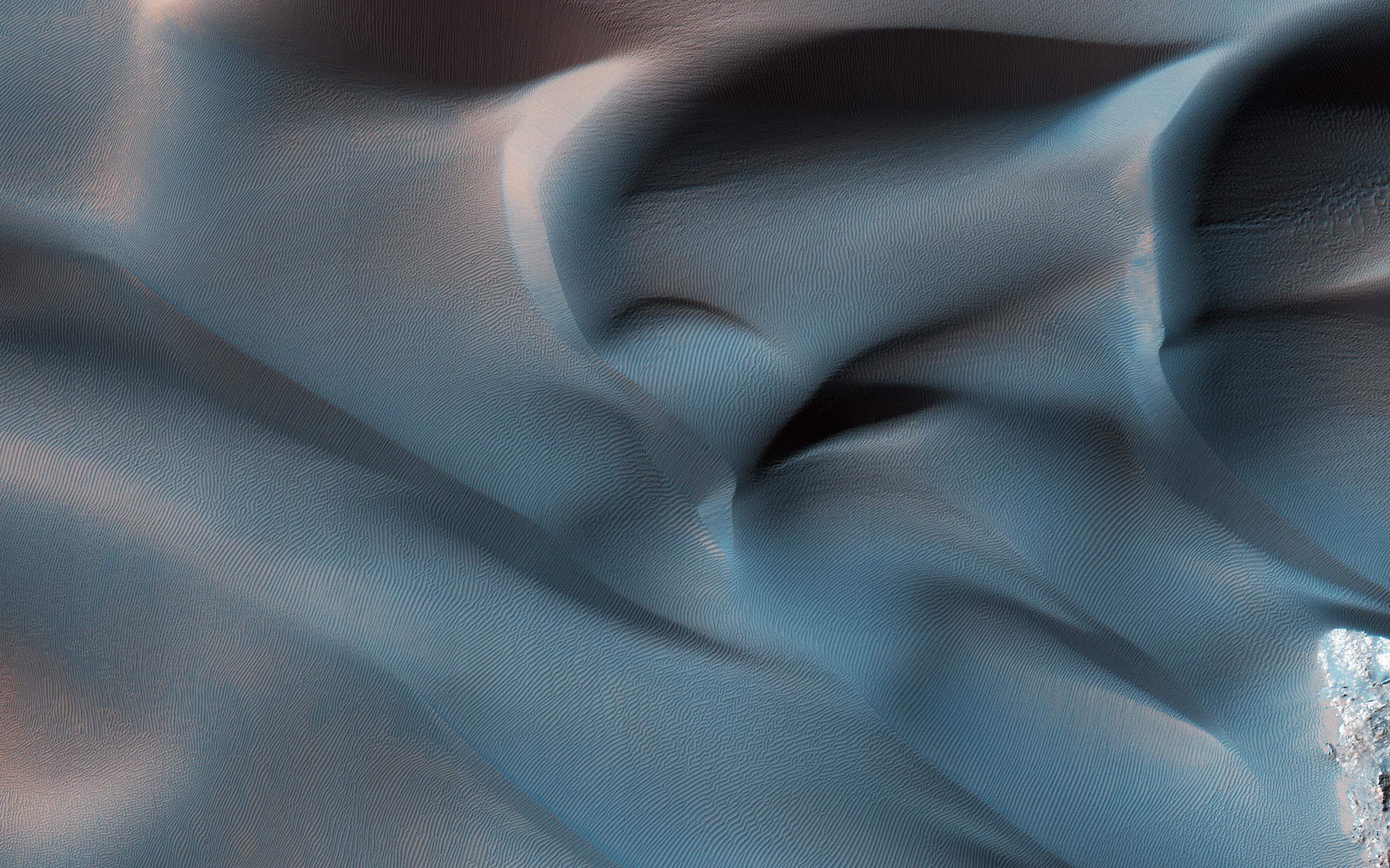
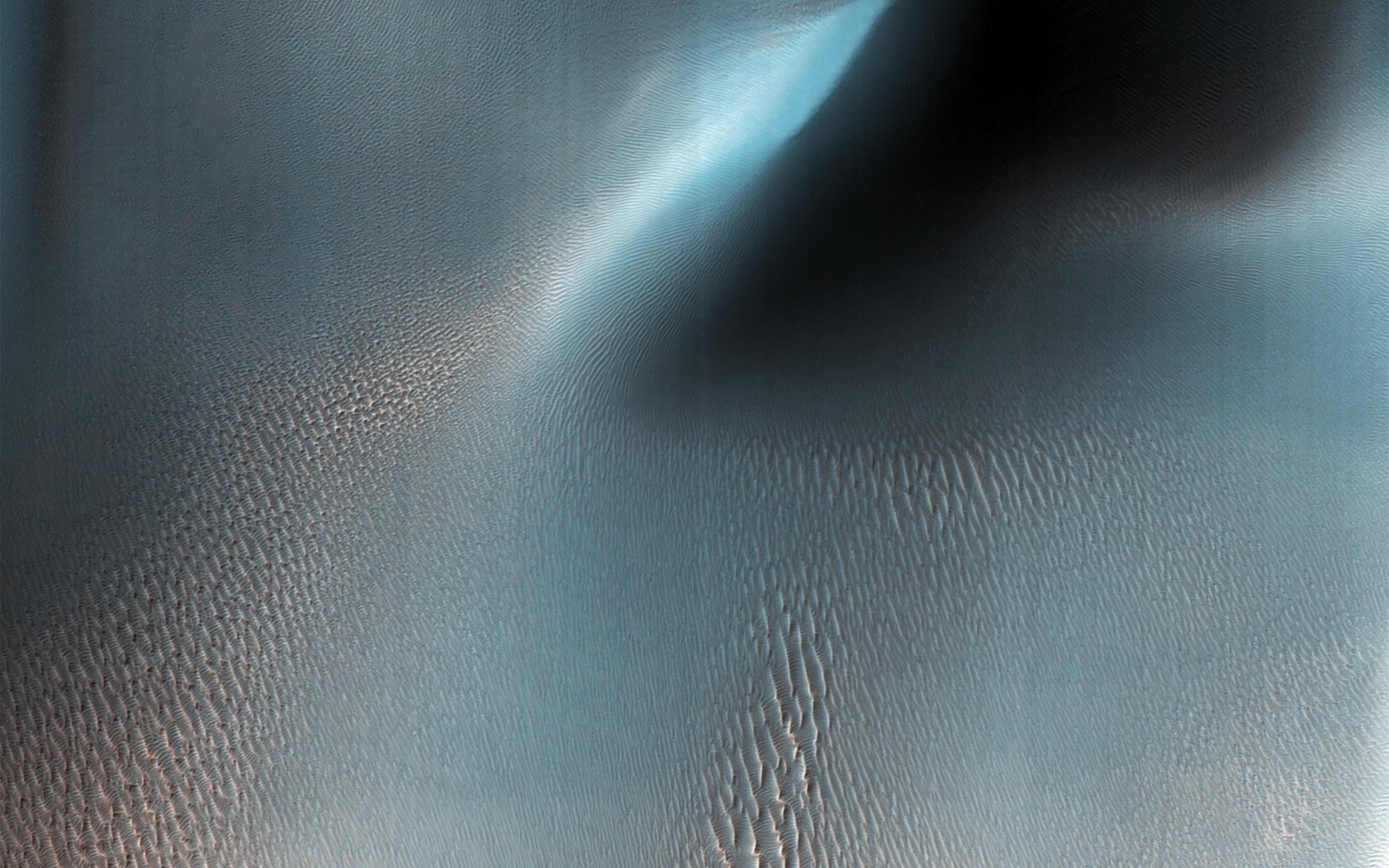
The Velvety Blue Dunes of Melas Chasma
Full Resolution:
TIFF
(15.56 MB)
JPEG
(679 kB)
2018-10-01
Mars
Mars Reconnaissance Orbiter (MRO)
HiRISE
2880x1800x3
PIA22782:
Bedforms and Bedrock
Full Resolution:
TIFF
(15.56 MB)
JPEG
(815.1 kB)
2018-09-25
Mars
Mars Reconnaissance Orbiter (MRO)
HiRISE
2170x1390x3
PIA22549:
Opportunity After the Dust Storm
Full Resolution:
TIFF
(9.053 MB)
JPEG
(492.1 kB)
2018-09-24
Mars
Mars Reconnaissance Orbiter (MRO)
HiRISE
2880x1800x3
PIA22726:
Seeing through the Dusty Air
Full Resolution:
TIFF
(5.191 MB)
JPEG
(1.965 MB)
2018-09-04
Mars
Mars Reconnaissance Orbiter (MRO)
HiRISE
2880x1800x3
PIA22684:
Hanging Sand Dunes within Coprates Chasma
Full Resolution:
TIFF
(15.56 MB)
JPEG
(1.011 MB)
2018-09-04
Mars
Mars Reconnaissance Orbiter (MRO)
HiRISE
2880x1800x3
PIA22683:
A Fan with Inverted Channels
Full Resolution:
TIFF
(15.56 MB)
JPEG
(1.77 MB)
2018-09-04
Mars
Mars Reconnaissance Orbiter (MRO)
HiRISE
2880x1800x3
PIA22682:
Pitted Cones: Possible Methane Sources?
Full Resolution:
TIFF
(15.56 MB)
JPEG
(938.1 kB)
2018-09-04
Mars
Mars Reconnaissance Orbiter (MRO)
HiRISE
2880x1800x3
PIA22681:
Crater Gullies and Fractures in Acidalia Planitia
Full Resolution:
TIFF
(15.56 MB)
JPEG
(1.116 MB)
2018-08-06
Mars
Mars Reconnaissance Orbiter (MRO)
Mars Global Surveyor (MGS)
MCS
Thermal Emission Spectrometer
849x423x3
PIA22546:
Growth and Retreat of the CO2 Ice at the Martian Poles
Full Resolution:
TIFF
(562.4 kB)
JPEG
(383.2 kB)
2018-07-24
Mars
Mars Reconnaissance Orbiter (MRO)
HiRISE
2880x1800x1
PIA22595:
The Dark Side of Dust Avalanches
Full Resolution:
TIFF
(5.191 MB)
JPEG
(858.4 kB)
2018-07-24
Mars
Mars Reconnaissance Orbiter (MRO)
HiRISE
2880x1800x3
PIA22594:
Fans of Roddy Crater
Full Resolution:
TIFF
(15.56 MB)
JPEG
(835.6 kB)
2018-07-24
Mars
Mars Reconnaissance Orbiter (MRO)
HiRISE
2880x1800x3
PIA22592:
Fans and Valleys
Full Resolution:
TIFF
(15.56 MB)
JPEG
(949.7 kB)
2018-07-23
Mars
Mars Reconnaissance Orbiter (MRO)
HiRISE
2880x1800x3
PIA22586:
This is Not the Hydrothermal Deposit You're Looking For
Full Resolution:
TIFF
(15.56 MB)
JPEG
(965.6 kB)
2018-07-19
Mars
Mars Reconnaissance Orbiter (MRO)
MARCI
1816x1024x3
PIA22487:
Mars Before and After Dust Storm
Full Resolution:
TIFF
(1.12 MB)
JPEG
(48.31 kB)
2018-07-09
Mars
Mars Reconnaissance Orbiter (MRO)
HiRISE
2880x1800x3
PIA22588:
Clays in the Eridania Basin
Full Resolution:
TIFF
(15.56 MB)
JPEG
(671.1 kB)
2018-07-09
Mars
Mars Reconnaissance Orbiter (MRO)
HiRISE
2880x1800x3
PIA22587:
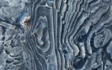
Jamming with the 'Spiders' from Mars
Full Resolution:
TIFF
(15.56 MB)
JPEG
(1.352 MB)
2018-07-09
Mars
Mars Reconnaissance Orbiter (MRO)
HiRISE
2880x1800x3
PIA22585:
Uplifted Blocks of Light-Toned Layered Deposits
Full Resolution:
TIFF
(15.56 MB)
JPEG
(903.3 kB)
2018-06-25
Mars
Mars Reconnaissance Orbiter (MRO)
HiRISE
2880x1800x3
PIA22536:
The Hills in Ganges Chasma
Full Resolution:
TIFF
(15.56 MB)
JPEG
(681.4 kB)
2018-06-25
Mars
Mars Reconnaissance Orbiter (MRO)
HiRISE
2880x1800x3
PIA22535:
Ice Block Avalanche
Full Resolution:
TIFF
(15.56 MB)
JPEG
(1.064 MB)
2018-06-25
Mars
Mars Reconnaissance Orbiter (MRO)
HiRISE
2880x1800x3
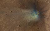
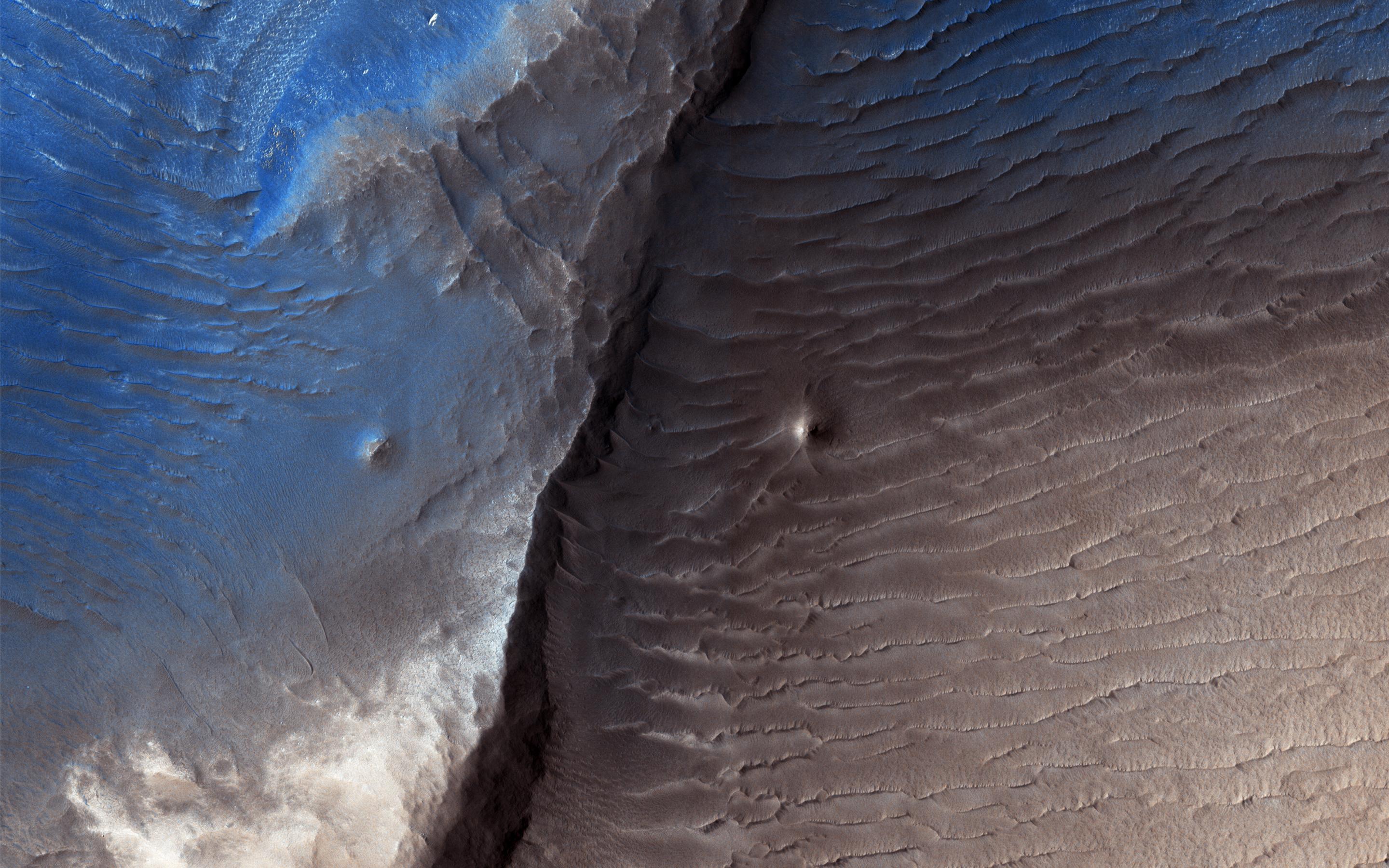
PIA22534:
New Crater Blues
Full Resolution:
TIFF
(15.56 MB)
JPEG
(1.491 MB)
2018-06-25
Mars
Mars Reconnaissance Orbiter (MRO)
HiRISE
2880x1800x3
PIA22533:
Lingering Frost
Full Resolution:
TIFF
(15.56 MB)
JPEG
(1.219 MB)
2018-06-13
Mars
Mars Reconnaissance Orbiter (MRO)
MARCI
1438x709x3
PIA22519:
2018 Giant Dust Storm on Mars
Full Resolution:
TIFF
(806.9 kB)
JPEG
(1.339 MB)
2018-06-11
Mars
Mars Reconnaissance Orbiter (MRO)
HiRISE
2880x1800x3
PIA22514:
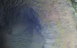
A Volcano of Mud or Lava?
Full Resolution:
TIFF
(15.56 MB)
JPEG
(1.137 MB)
2018-06-11
Mars
Mars Reconnaissance Orbiter (MRO)
HiRISE
2880x1800x3
PIA22513:
Bang and Whoosh!
Full Resolution:
TIFF
(14.69 MB)
JPEG
(960.3 kB)
2018-06-11
Mars
Mars Reconnaissance Orbiter (MRO)
HiRISE
2880x1800x3
PIA22512:
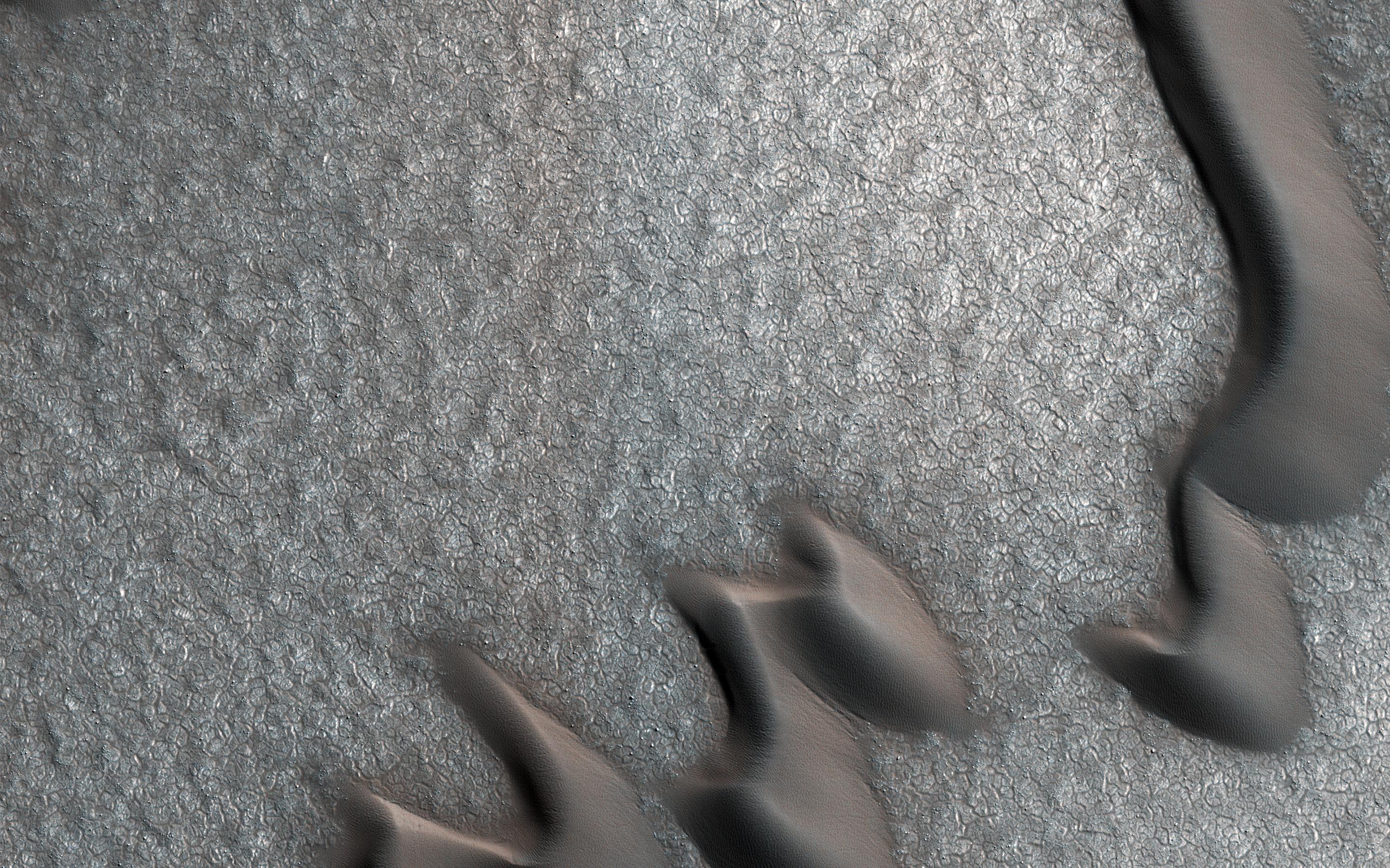
Once in a Blue Dune
Full Resolution:
TIFF
(15.56 MB)
JPEG
(1.404 MB)
2018-06-11
Mars
Mars Reconnaissance Orbiter (MRO)
HiRISE
2880x1800x3
PIA22511:
Dust and Frost
Full Resolution:
TIFF
(15.56 MB)
JPEG
(1.158 MB)
2018-05-29
Mars
Mars Reconnaissance Orbiter (MRO)
HiRISE
2880x1800x3
PIA22465:
Bedrock Exposed in the Rim of Hale Crater
Full Resolution:
TIFF
(15.56 MB)
JPEG
(659.1 kB)
2018-05-29
Mars
Mars Reconnaissance Orbiter (MRO)
HiRISE
2880x1800x3
PIA22464:
Corduroy Dunes
Full Resolution:
TIFF
(15.56 MB)
JPEG
(1.767 MB)
2018-05-29
Mars
Mars Reconnaissance Orbiter (MRO)
HiRISE
2880x1800x3
PIA22463:
Patches of Snow
Full Resolution:
TIFF
(13.88 MB)
JPEG
(516.8 kB)
2018-05-29
Mars
Mars Reconnaissance Orbiter (MRO)
HiRISE
2880x1800x3
PIA22462:
A New Impact Crater
Full Resolution:
TIFF
(15.56 MB)
JPEG
(1.097 MB)
2018-05-14
Mars
Mars Reconnaissance Orbiter (MRO)
HiRISE
2880x1800x1
PIA22456:
Barchan Pac-Man
Full Resolution:
TIFF
(5.191 MB)
JPEG
(1.039 MB)
2018-05-14
Mars
Mars Reconnaissance Orbiter (MRO)
HiRISE
2880x1800x3
PIA22455:
Dunes in Nectaris Montes
Full Resolution:
TIFF
(15.56 MB)
JPEG
(598.3 kB)
2018-05-14
Mars
Mars Reconnaissance Orbiter (MRO)
HiRISE
2880x1800x1
PIA22454:
Twin Craters in Meridiani Planum
Full Resolution:
TIFF
(5.033 MB)
JPEG
(885.9 kB)
2018-05-14
Mars
Mars Reconnaissance Orbiter (MRO)
HiRISE
2880x1800x3
PIA22453:
A Pair of New Impact Craters
Full Resolution:
TIFF
(15.56 MB)
JPEG
(1.136 MB)
2018-04-30
Mars
Mars Reconnaissance Orbiter (MRO)
HiRISE
2020x1301x3
PIA22439:
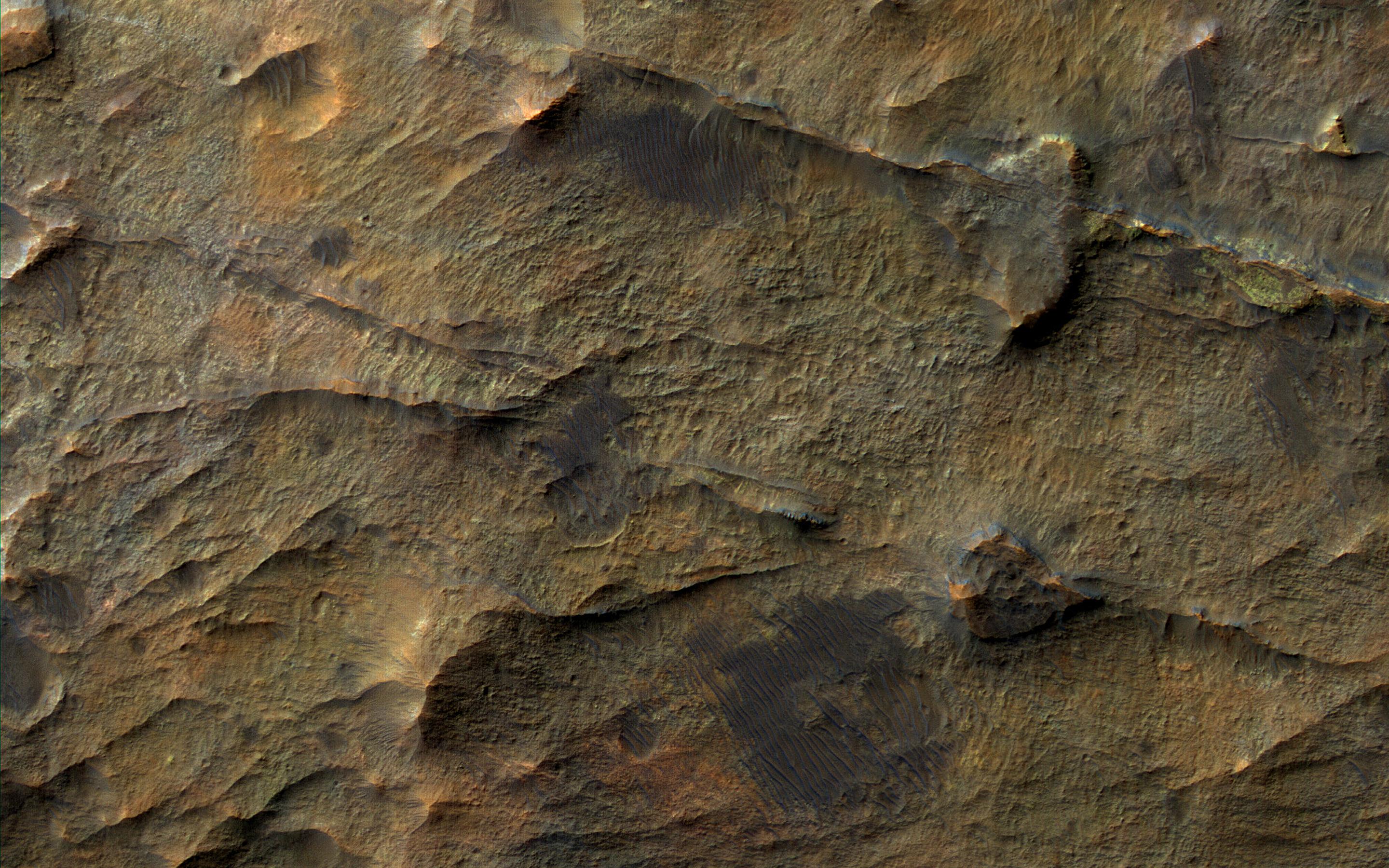
Bedrock on a Crater Floor
Full Resolution:
TIFF
(7.887 MB)
JPEG
(385 kB)
2018-04-30
Mars
Mars Reconnaissance Orbiter (MRO)
HiRISE
2880x1800x3
PIA22438:
Exploring Meridiani Planum
Full Resolution:
TIFF
(15.56 MB)
JPEG
(1.252 MB)
2018-04-30
Mars
Mars Reconnaissance Orbiter (MRO)
HiRISE
2020x1301x3
PIA22437:
Colorful Layers in Ariadnes Colles
Full Resolution:
TIFF
(7.872 MB)
JPEG
(275.9 kB)
2018-04-30
Mars
Mars Reconnaissance Orbiter (MRO)
HiRISE
2020x1301x3
PIA22436:
Channeled Southern Highlands
Full Resolution:
TIFF
(7.887 MB)
JPEG
(450.3 kB)
2018-04-16
Mars
Mars Reconnaissance Orbiter (MRO)
HiRISE
2880x1800x3
PIA22435:
Chaos Terrain
Full Resolution:
TIFF
(15.56 MB)
JPEG
(850 kB)
2018-04-16
Mars
Mars Reconnaissance Orbiter (MRO)
HiRISE
2880x1800x3
PIA22434:
Diverse Lithologies on a Crater Floor
Full Resolution:
TIFF
(15.56 MB)
JPEG
(730.1 kB)
2018-04-16
Mars
Mars Reconnaissance Orbiter (MRO)
HiRISE
2880x1800x3
PIA22433:
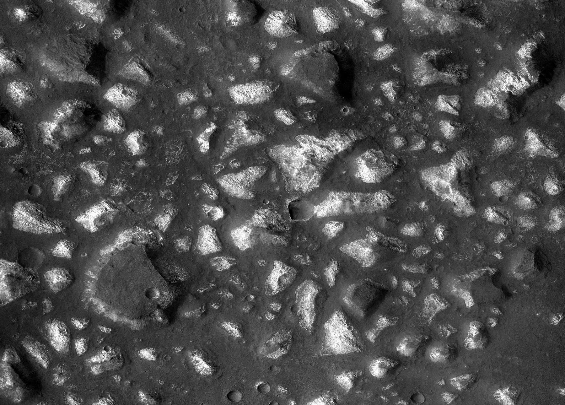
Bouldery Plains
Full Resolution:
TIFF
(15.56 MB)
JPEG
(1.364 MB)
2018-04-16
Mars
Mars Reconnaissance Orbiter (MRO)
HiRISE
2880x1800x3
PIA22432:
Young Lava Flows
Full Resolution:
TIFF
(15.56 MB)
JPEG
(1.254 MB)
2018-04-02
Mars
Mars Reconnaissance Orbiter (MRO)
HiRISE
2880x1800x3
PIA22349:
Gullies of Matara Crater
Full Resolution:
TIFF
(15.2 MB)
JPEG
(1.159 MB)
2018-04-02
Mars
Mars Reconnaissance Orbiter (MRO)
HiRISE
2736x1824x3
PIA22348:
Formations in Context (or, what is it?)
Full Resolution:
TIFF
(14.98 MB)
JPEG
(735.1 kB)
2018-04-02
Mars
Mars Reconnaissance Orbiter (MRO)
HiRISE
4500x3000x1
PIA22347:
Three Channels Exiting a Crater Lake
Full Resolution:
TIFF
(13.52 MB)
JPEG
(3.068 MB)
2018-04-02
Mars
Mars Reconnaissance Orbiter (MRO)
HiRISE
2880x1800x3
PIA22346:
The Moving Sands of Lobo Vallis
Full Resolution:
TIFF
(15.56 MB)
JPEG
(1.261 MB)
2018-03-06
Mars
Mars Reconnaissance Orbiter (MRO)
HiRISE
2880x1800x3
PIA22334:
The Case of the Martian Boulder Piles
Full Resolution:
TIFF
(15.56 MB)
JPEG
(1.248 MB)
2018-03-06
Mars
Mars Reconnaissance Orbiter (MRO)
HiRISE
2880x1800x3
PIA22333:
Ridges near Nirgal Valles
Full Resolution:
TIFF
(15.56 MB)
JPEG
(931.3 kB)
2018-03-06
Mars
Mars Reconnaissance Orbiter (MRO)
HiRISE
2880x1800x3
PIA22332:
Big Fans
Full Resolution:
TIFF
(15.56 MB)
JPEG
(826.8 kB)
2018-03-06
Mars
Mars Reconnaissance Orbiter (MRO)
HiRISE
4500x3000x3
PIA22331:
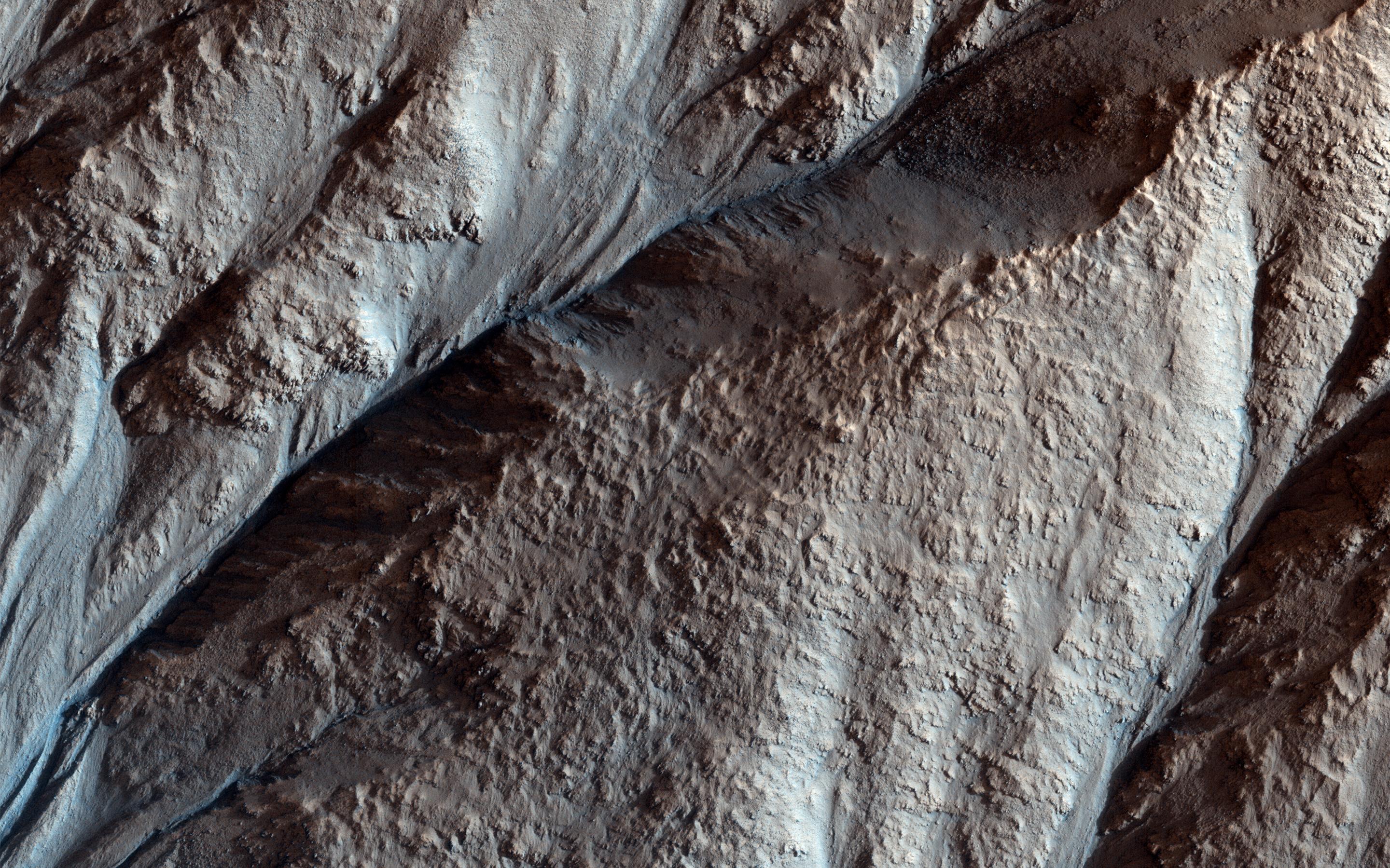
Layers along a Pit in Coprates Catena
Full Resolution:
TIFF
(40.52 MB)
JPEG
(2.856 MB)
2018-02-20
Mars
Mars Reconnaissance Orbiter (MRO)
HiRISE
4500x3000x3
PIA22255:
Icy Layers in Craters
Full Resolution:
TIFF
(40.52 MB)
JPEG
(1.724 MB)
2018-02-20
Mars
Mars Reconnaissance Orbiter (MRO)
Phoenix
HiRISE
1286x1269x3
PIA22223:
NASA's Phoenix Lander on Mars, Nearly a Decade Later
Full Resolution:
TIFF
(2.81 MB)
JPEG
(1.781 MB)
2018-02-09
Mars
Mars Reconnaissance Orbiter (MRO)
HiRISE
2810x1047x1
PIA22215:
Slight Blurring in Newer Image from Mars Orbiter
Full Resolution:
TIFF
(2.385 MB)
JPEG
(264 kB)
2018-02-05
Mars
Mars Reconnaissance Orbiter (MRO)
HiRISE
899x476x1
PIA22241:
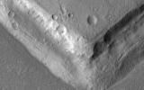
Crater Tadpoles
Full Resolution:
TIFF
(428.6 kB)
JPEG
(147.2 kB)
2018-02-05
Mars
Mars Reconnaissance Orbiter (MRO)
HiRISE
3199x2452x3
PIA22240:
Splitting Slope Streaks
Full Resolution:
TIFF
(20.83 MB)
JPEG
(822.8 kB)
2018-02-05
Mars
Mars Reconnaissance Orbiter (MRO)
HiRISE
2880x1800x3
PIA22239:
Gullies and Voids
Full Resolution:
TIFF
(15.56 MB)
JPEG
(1.07 MB)
2018-02-05
Mars
Mars Reconnaissance Orbiter (MRO)
HiRISE
2880x1800x3
PIA22238:
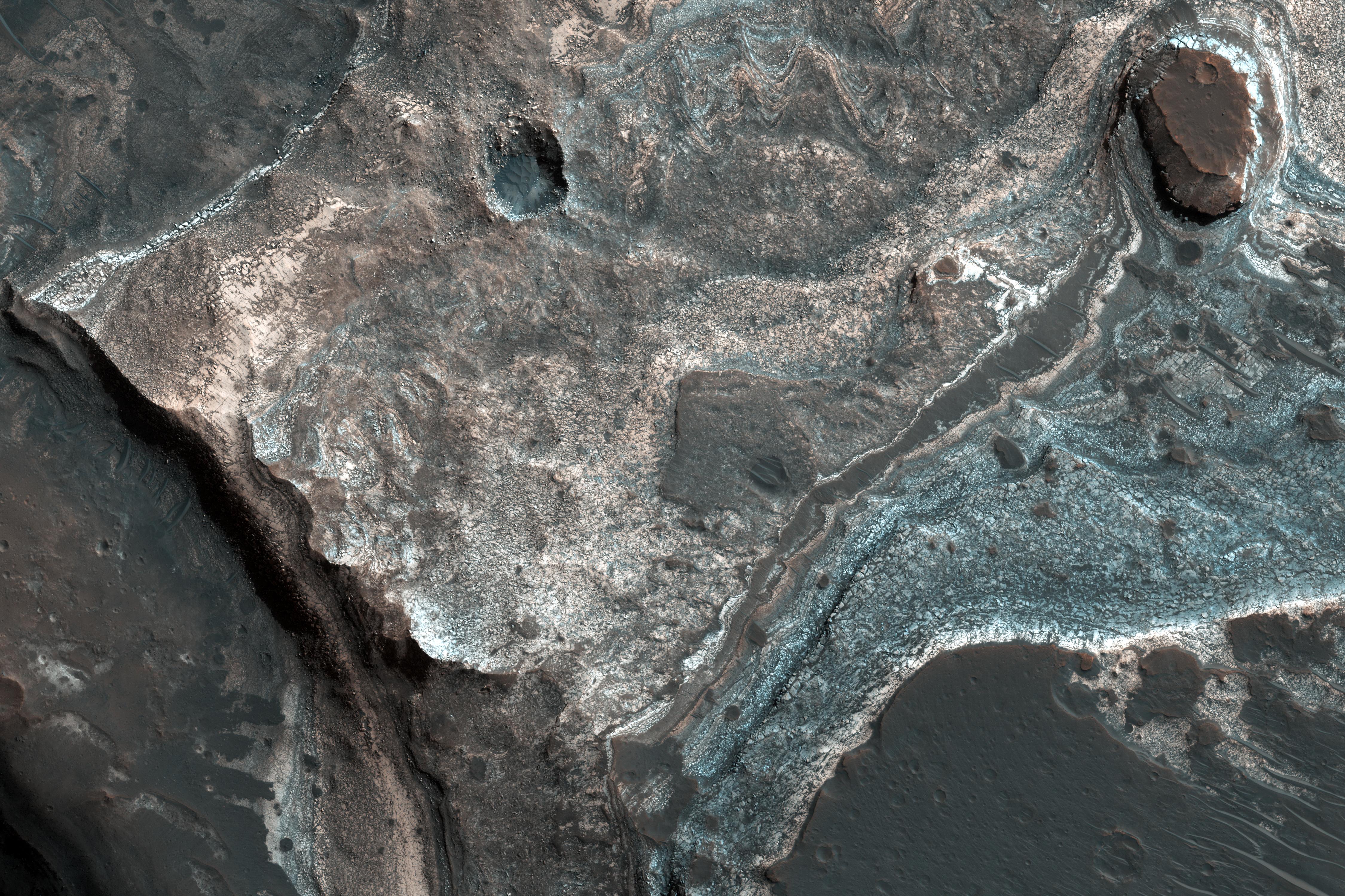
Geologic History Revealed in Valles Marineris
Full Resolution:
TIFF
(15.56 MB)
JPEG
(1.07 MB)
2018-01-23
Mars
Mars Reconnaissance Orbiter (MRO)
HiRISE
2880x1800x3
PIA22183:
Clays of Ladon Basin
Full Resolution:
TIFF
(15.56 MB)
JPEG
(933.3 kB)
2018-01-23
Mars
Mars Reconnaissance Orbiter (MRO)
HiRISE
2880x1800x3
PIA22182:
Eroded Layers in Shalbatana Valles
Full Resolution:
TIFF
(15.56 MB)
JPEG
(1.457 MB)
2018-01-23
Mars
Mars Reconnaissance Orbiter (MRO)
HiRISE
2880x1800x3
PIA22181:
Dark Materials on Olympus Mons
Full Resolution:
TIFF
(15.56 MB)
JPEG
(976.8 kB)
2018-01-23
Mars
Mars Reconnaissance Orbiter (MRO)
HiRISE
2880x1800x3
PIA22180:
Hexagons in Icy Terrain
Full Resolution:
TIFF
(15.56 MB)
JPEG
(1.438 MB)
2018-01-23
Mars
Mars Reconnaissance Orbiter (MRO)
MCS
1595x1055x3
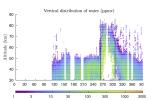
PIA22080:
Water Vapor Reaches Mars' Middle Atmosphere During Global Dust Storm
Full Resolution:
TIFF
(1.133 MB)
JPEG
(197.6 kB)
2018-01-11
Mars
Mars Reconnaissance Orbiter (MRO)
HiRISE
951x900x3
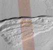
PIA22078:
Pit Where a Scarp Exposes an Underground Deposit of Martian Ice
Full Resolution:
TIFF
(1.746 MB)
JPEG
(189.9 kB)
2018-01-11
Mars
Mars Reconnaissance Orbiter (MRO)
HiRISE
1001x801x3
PIA22077:
Underground Martian Ice Deposit Exposed at Scarp
Full Resolution:
TIFF
(2.406 MB)
JPEG
(146.9 kB)
2017-12-12
Mars
Mars Reconnaissance Orbiter (MRO)
HiRISE
2880x1800x3
PIA22187:
The Fault in Our Mars
Full Resolution:
TIFF
(15.56 MB)
JPEG
(616.1 kB)
2017-12-12
Mars
Mars Reconnaissance Orbiter (MRO)
HiRISE
2880x1800x3
PIA22186:
Depressions and Channels on the Floor of Lyot Crater
Full Resolution:
TIFF
(15.56 MB)
JPEG
(1.13 MB)
2017-12-12
Mars
Mars Reconnaissance Orbiter (MRO)
HiRISE
2880x1800x1
PIA22125:
Layered Ice Near the South Pole of Mars
Full Resolution:
TIFF
(5.191 MB)
JPEG
(987.7 kB)
2017-12-12
Mars
Mars Reconnaissance Orbiter (MRO)
HiRISE
2880x1800x1
PIA22124:
A Valley Near the Northern Lowlands
Full Resolution:
TIFF
(5.191 MB)
JPEG
(990 kB)
2017-11-28
Mars
Mars Reconnaissance Orbiter (MRO)
HiRISE
2880x1800x1
PIA22119:
Yardangs: Nature's Weathervanes
Full Resolution:
TIFF
(5.191 MB)
JPEG
(935.1 kB)
2017-11-28
Mars
Mars Reconnaissance Orbiter (MRO)
HiRISE
2880x1800x3
PIA22118:
Honeycomb-Textured Landforms in Northwestern Hellas Planitia
Full Resolution:
TIFF
(13.17 MB)
JPEG
(673 kB)
2017-11-28
Mars
Mars Reconnaissance Orbiter (MRO)
HiRISE
2880x1800x3
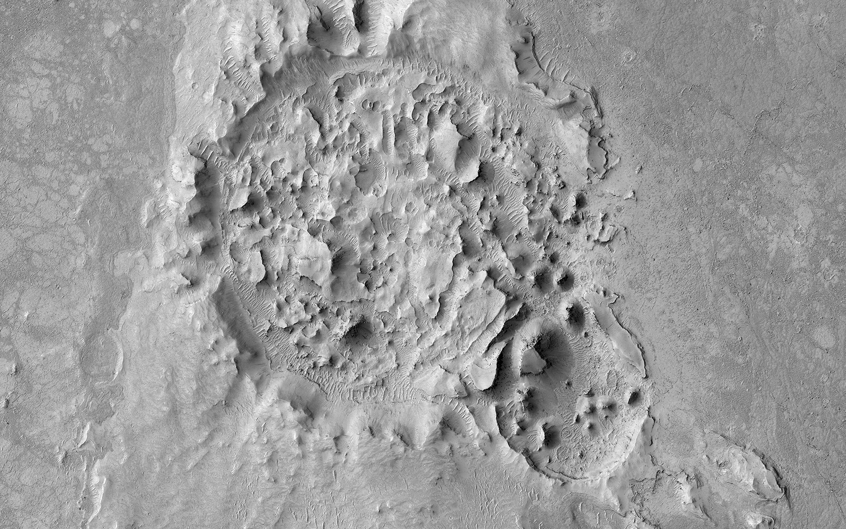
PIA22117:
An Inverted Crater West of Mawrth Vallis
Full Resolution:
TIFF
(14.9 MB)
JPEG
(717.3 kB)
2017-11-28
Mars
Mars Reconnaissance Orbiter (MRO)
HiRISE
2880x1800x1
PIA22116:
A Collapsed Crater Rim
Full Resolution:
TIFF
(5.169 MB)
JPEG
(659.3 kB)
2017-11-20
Mars
Mars Reconnaissance Orbiter (MRO)
HiRISE
2880x1800x1
PIA22115:
Fifty Years of Mars Imaging: from Mariner 4 to HiRISE
Full Resolution:
TIFF
(5.191 MB)
JPEG
(1.309 MB)
2017-11-20
Mars
Mars Reconnaissance Orbiter (MRO)
HiRISE
2880x1800x3
PIA22114:
Transient Slope Lineae Formation in a Well-Preserved Crater
Full Resolution:
TIFF
(15.56 MB)
JPEG
(1.073 MB)
2017-11-20
Mars
Mars Reconnaissance Orbiter (MRO)
HiRISE
1201x900x3
PIA22070:
Seasonal Dark Streaks in Tivat Crater, Mars
Full Resolution:
TIFF
(3.007 MB)
JPEG
(128.9 kB)
2017-10-23
Mars
Mars Reconnaissance Orbiter (MRO)
HiRISE
2880x1800x3
PIA22054:
The Evolution of Gully Features in Acidalia Planitia
Full Resolution:
TIFF
(15.56 MB)
JPEG
(1.309 MB)
2017-10-23
Mars
Mars Reconnaissance Orbiter (MRO)
HiRISE
2880x1800x3
PIA22053:
Defrosting Dunes within Chasma Boreale
Full Resolution:
TIFF
(14.4 MB)
JPEG
(610.2 kB)
2017-10-23
Mars
Mars Reconnaissance Orbiter (MRO)
HiRISE
2880x1800x3
PIA22052:
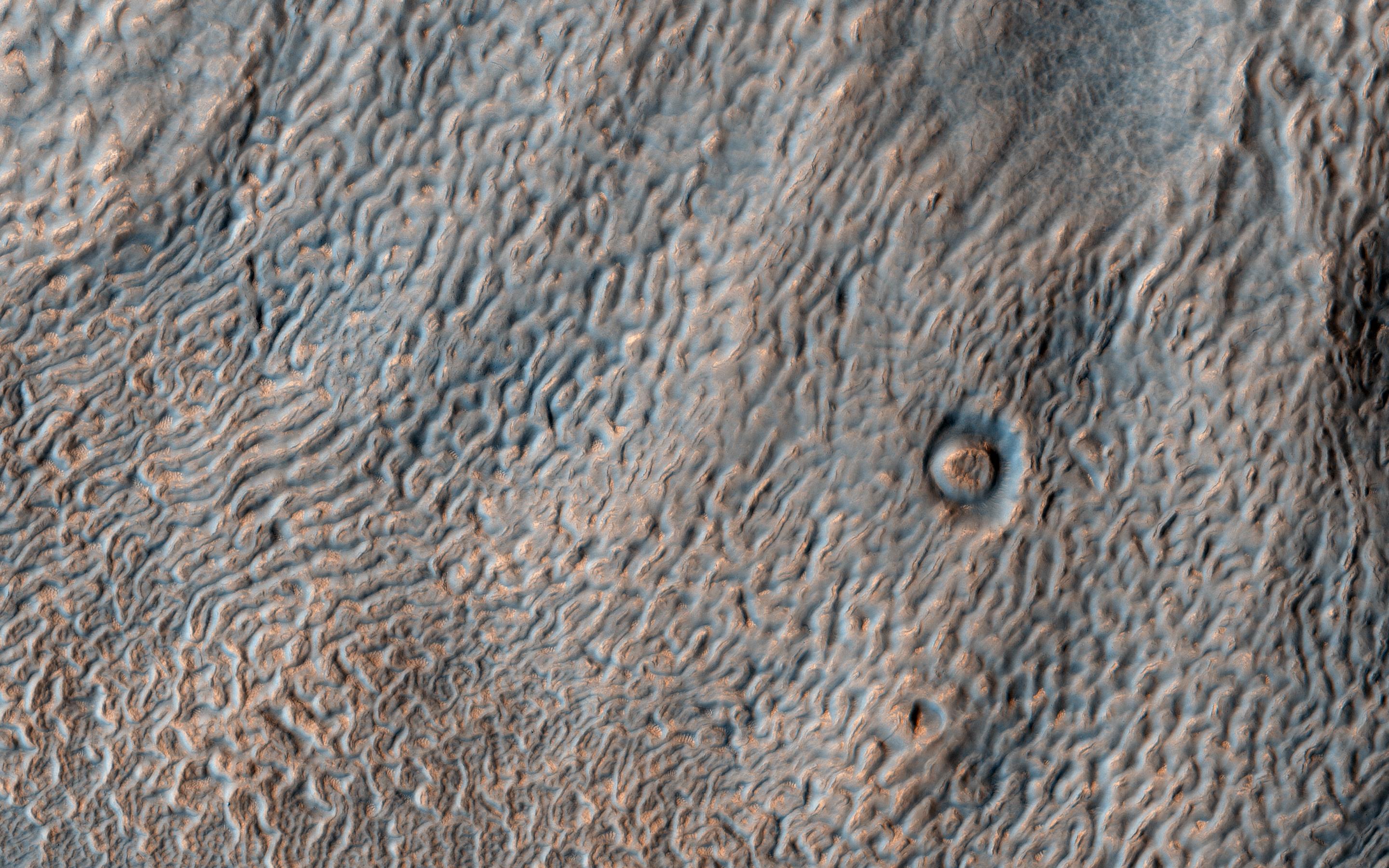
Squiggles in Hellas Planitia
Full Resolution:
TIFF
(15.56 MB)
JPEG
(1.15 MB)
2017-10-23
Mars
Mars Reconnaissance Orbiter (MRO)
HiRISE
2880x1800x3
PIA22051:
A Window into the Past
Full Resolution:
TIFF
(15.41 MB)
JPEG
(891.8 kB)
2017-10-09
Mars
Mars Reconnaissance Orbiter (MRO)
HiRISE
2880x1800x3
PIA22043:
Where Does the Sand Come From?
Full Resolution:
TIFF
(13.98 MB)
JPEG
(492.1 kB)
2017-10-09
Mars
Mars Reconnaissance Orbiter (MRO)
HiRISE
2880x1800x3
PIA22042:
Decoding a Dark Splotch
Full Resolution:
TIFF
(15.56 MB)
JPEG
(735.1 kB)
2017-10-09
Mars
Mars Reconnaissance Orbiter (MRO)
HiRISE
2880x1800x1
PIA22041:
A Highly Disrupted Crater
Full Resolution:
TIFF
(5.191 MB)
JPEG
(999.4 kB)
2017-10-09
Mars
Mars Reconnaissance Orbiter (MRO)
HiRISE
2880x1800x3
PIA22040:
Ripples and Dunes in Proctor Crater
Full Resolution:
TIFF
(15.56 MB)
JPEG
(563.2 kB)
2017-10-06
Mars
Mars Reconnaissance Orbiter (MRO)
788x416x3
PIA22060:
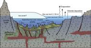
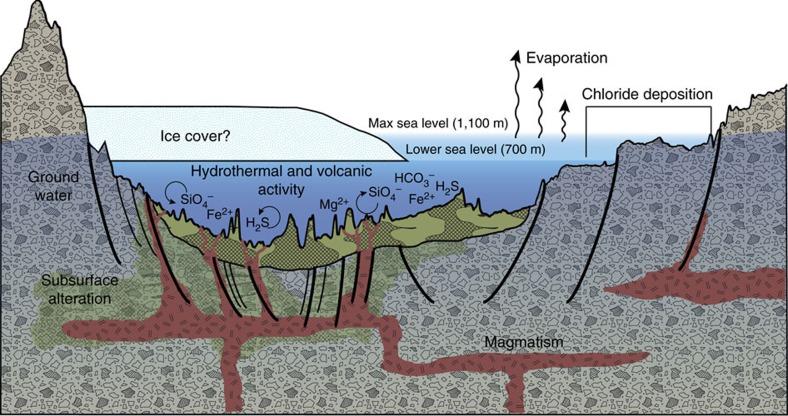
A Geologic Model for Eridania Basin on Ancient Mars
Full Resolution:
TIFF
(694.9 kB)
JPEG
(76.72 kB)
2017-10-06
Mars
Mars Reconnaissance Orbiter (MRO)
1032x641x3
PIA22059:
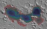
Estimated Water Depths in Ancient Martian Sea
Full Resolution:
TIFF
(1.743 MB)
JPEG
(154.7 kB)
2017-10-06
Mars
Mars Reconnaissance Orbiter (MRO)
CTX
1800x1290x1
PIA22058:
Possible Floor of an Ancient Martian Sea
Full Resolution:
TIFF
(2.325 MB)
JPEG
(490.4 kB)
2017-09-18
Mars
Mars Reconnaissance Orbiter (MRO)
HiRISE
2880x1800x3
PIA21955:
Textures in Deuteronilus Mensae
Full Resolution:
TIFF
(15.56 MB)
JPEG
(889.7 kB)
2017-09-18
Mars
Mars Reconnaissance Orbiter (MRO)
HiRISE
2880x1800x3
PIA21954:
North Polar Layers: Streaking and Unconformity
Full Resolution:
TIFF
(15.56 MB)
JPEG
(1.298 MB)
2017-09-18
Mars
Mars Reconnaissance Orbiter (MRO)
HiRISE
2880x1800x3
PIA21953:
Go with the (Bright) Flow
Full Resolution:
TIFF
(15.56 MB)
JPEG
(974.7 kB)
2017-09-18
Mars
Mars Reconnaissance Orbiter (MRO)
HiRISE
2880x1800x3
PIA21952:
A Sequence of Beauty in Terby Crater
Full Resolution:
TIFF
(15.56 MB)
JPEG
(958.8 kB)
2017-09-04
Mars
Mars Reconnaissance Orbiter (MRO)
HiRISE
2880x1800x3
PIA21936:
Prospecting from Orbit
Full Resolution:
TIFF
(15.56 MB)
JPEG
(685.8 kB)
2017-09-04
Mars
Mars Reconnaissance Orbiter (MRO)
HiRISE
2880x1800x3
PIA21935:
Mixtures of Sulfates in Melas Chasma
Full Resolution:
TIFF
(15.56 MB)
JPEG
(1.154 MB)
2017-09-04
Mars
Mars Reconnaissance Orbiter (MRO)
HiRISE
2880x1800x3
PIA21934:
Opposing Dunes, Opposing Winds
Full Resolution:
TIFF
(14.99 MB)
JPEG
(780.7 kB)
1-100
101-200
201-300
301-400
401-500
501-600
601-700
701-800
801-900
901-1000
Currently displaying images:
301 - 400
of 1717


