|
Your search criteria found 1154 images Collection Type |
| My List |
Addition Date | Target | Mission |
Instrument
|
Size |

|
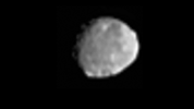
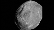
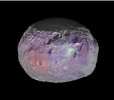
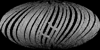
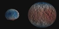
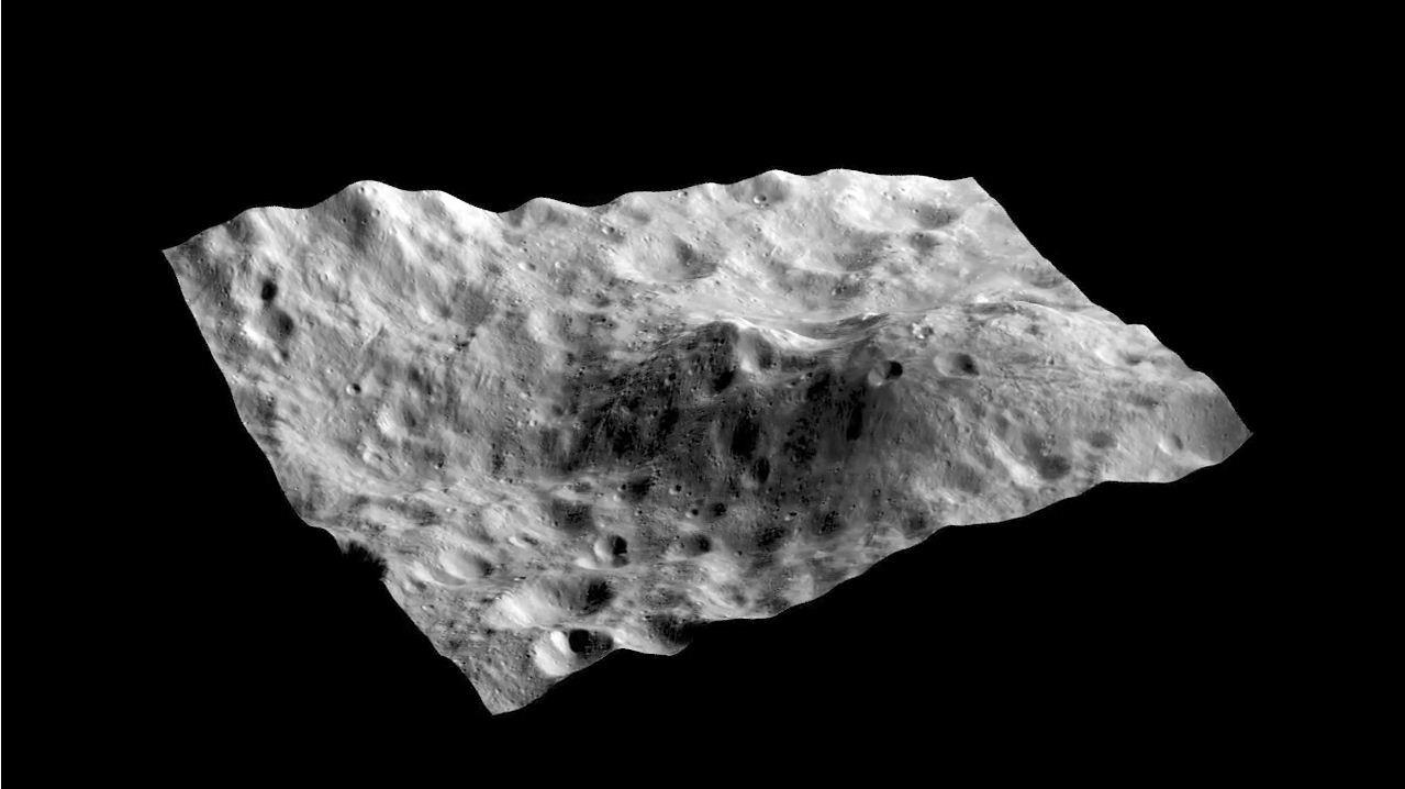
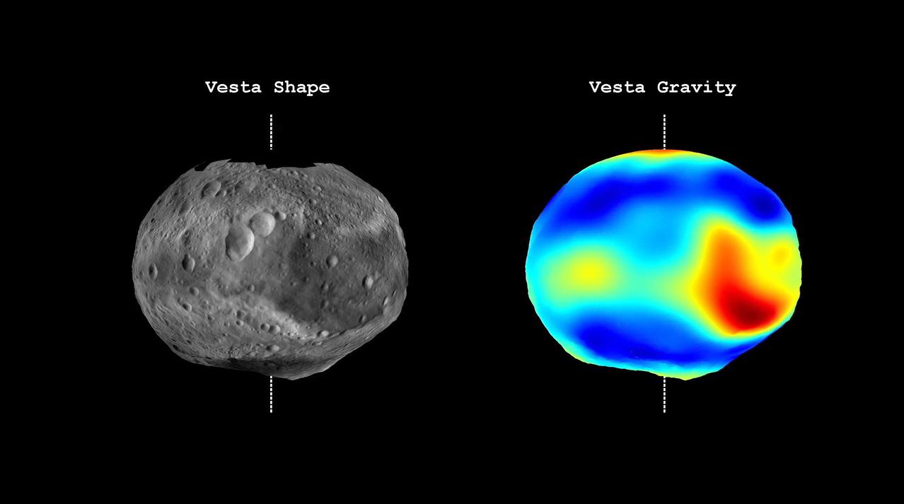
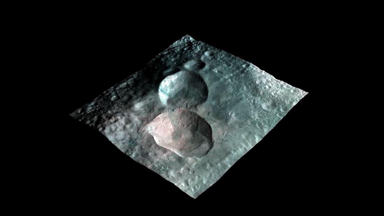
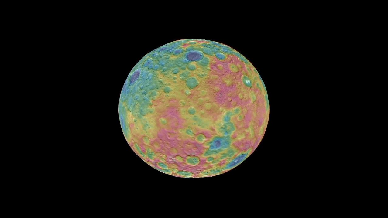
2011-06-23 | Vesta |
Dawn |
Framing Camera |
1280x720x1 |
|
|||||
|
|
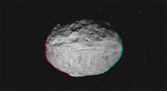
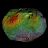
2011-06-23 | Vesta |
Dawn |
Framing Camera |
1280x720x3 |
|
|||||
|
|
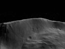
2011-08-01 | Vesta |
Dawn |
Framing Camera |
1280x721x3 |
|
|||||
|
|
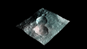
2011-08-01 | Vesta |
Dawn |
Framing Camera |
1280x720x3 |
|
|||||
|
|
2011-08-01 | Vesta |
Dawn |
Framing Camera |
1281x720x1 |
|
|||||
|
|
2011-12-01 | Vesta |
Dawn |
Framing Camera |
640x350x3 |
|
|||||
|
|
2011-12-06 | Vesta |
Dawn |
Framing Camera |
1279x718x1 |

|
|||||
|
|
2012-03-21 | Vesta |
Dawn |
Framing Camera |
848x643x1 |
|
|||||
|
|
2012-04-25 | Vesta |
Dawn |
Framing Camera |
1278x713x3 |

|
|||||
|
|
2012-05-10 | Vesta |
Dawn |
Framing Camera |
1280x720x3 |
|
|||||
|
|
2012-05-10 | Vesta |
Dawn |
Framing Camera |
289x204x3 |

|
|||||
|
|
2012-05-10 | Vesta |
Dawn |
Framing Camera |
1540x1040x3 |
|
|||||
|
|
2012-06-06 | Vesta |
Dawn |
Framing Camera |
821x722x3 |
|
|||||
|
|
2012-09-20 | Vesta |
Dawn |
Framing Camera |
1024x1024x3 |
|
|||||
|
|
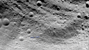
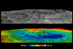
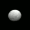
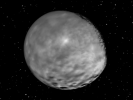
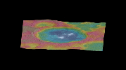
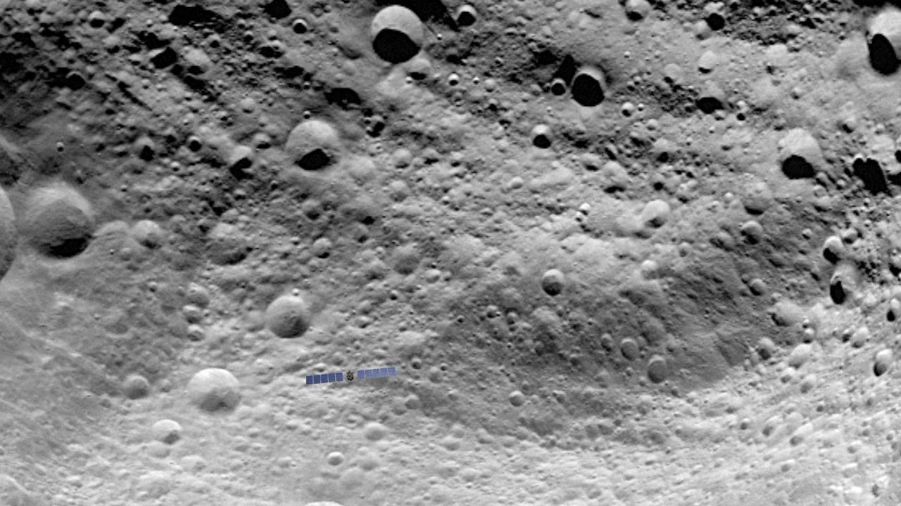
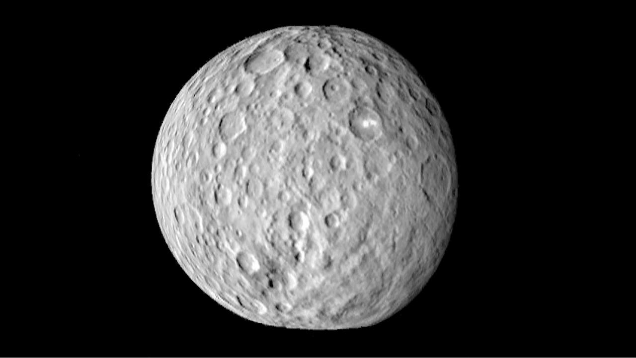
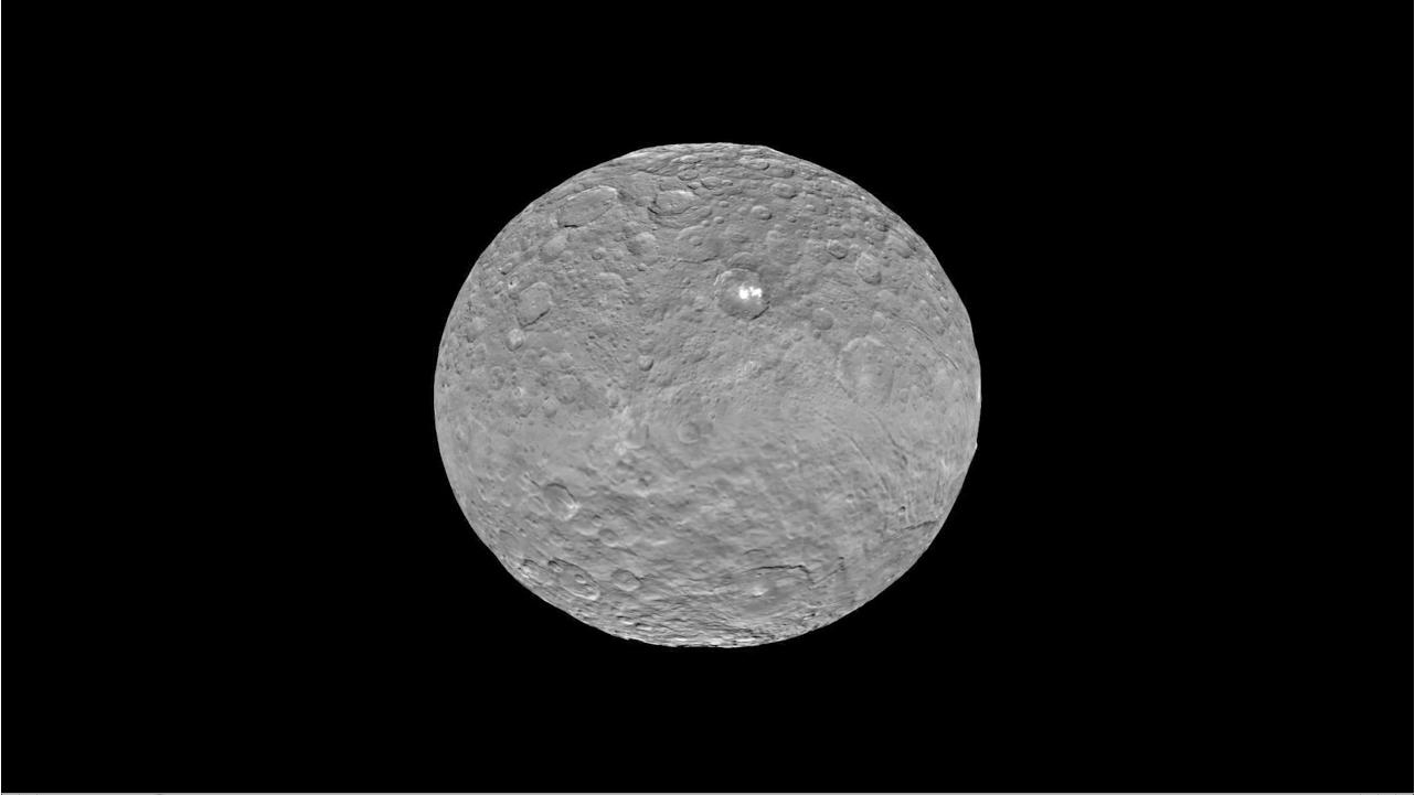
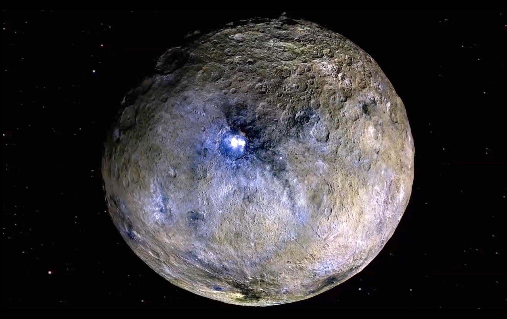
2015-01-19 | Ceres |
Dawn |
Framing Camera |
381x384x1 |
|
|||||
|
|
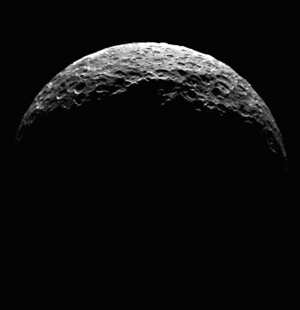
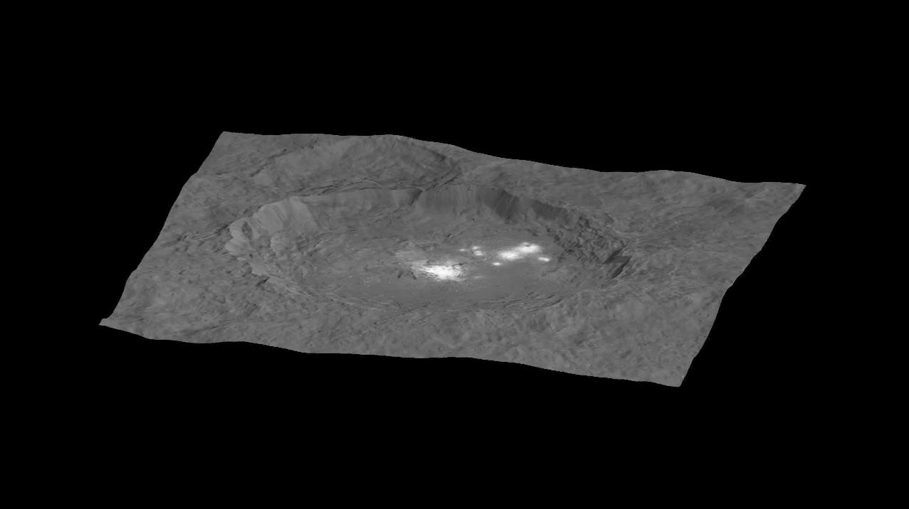
2015-01-27 | Ceres |
Dawn |
Framing Camera |
600x600x1 |

|
|||||
|
|
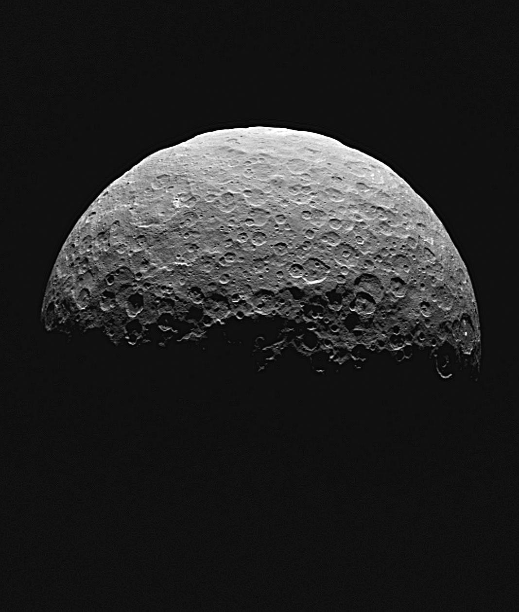
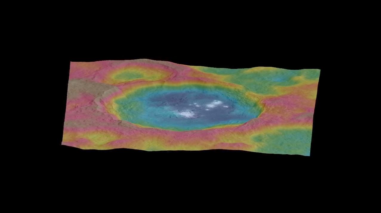
2015-02-05 | Ceres |
Dawn |
Framing Camera |
638x476x1 |
|
|||||
|
|
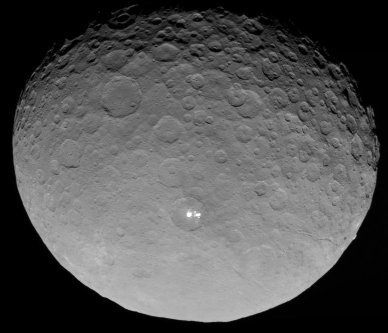
2015-02-06 | Ceres |
Dawn |
Framing Camera |
441x417x1 |
|
|||||
|
|
2015-02-04 | Ceres |
Dawn |
Framing Camera |
613x604x1 |
|
|||||
|
|
2015-03-02 | Ceres |
Dawn |
Framing Camera |
488x488x1 |
|
|||||
|
|
2015-03-02 | Ceres |
Dawn |
Framing Camera |
1280x721x1 |
|
|||||
|
|
2015-04-16 | Ceres |
Dawn |
Framing Camera |
1002x1035x1 |
|
|||||
|
|
2015-04-20 | Ceres |
Dawn |
Framing Camera |
1068x1260x1 |
|
|||||
|
|
2015-05-11 | Ceres |
Dawn |
Framing Camera |
774x665x1 |
|
|||||
|
|
2015-07-28 | Ceres |
Dawn |
Framing Camera |
1277x718x3 |
|
|||||
|
|
2015-08-06 | Ceres |
Dawn |
Framing Camera |
1282x721x1 |
|
|||||
|
|
2015-09-09 | Ceres |
Dawn |
Framing Camera |
1024x1024x1 |
|
|||||
|
|
2015-09-09 | Ceres |
Dawn |
Framing Camera |
1277x716x1 |
|
|||||
|
|
2015-09-09 | Ceres |
Dawn |
Framing Camera |
1277x714x3 |
|
|||||
|
|
2015-12-09 | Ceres |
Dawn |
Framing Camera |
1764x1112x3 |

|
|||||
|
|
2016-03-22 | Ceres |
Dawn |
Framing Camera |
1264x632x1 |
|
|||||
|
|
2016-03-22 | Ceres |
Dawn |
Framing Camera |
640x360x3 |
|
|||||
|
|
2016-12-15 | Ceres |
Dawn |
Framing Camera |
1070x536x3 |
|
|||||
|
|
2016-12-15 | Ceres |
Dawn |
Framing Camera |
436x347x1 |

|
|||||
|
|
2016-12-15 | Ceres |
Dawn |
Framing Camera |
516x253x1 |

|
|||||
|
|
2017-03-22 | Ceres |
Dawn |
Framing Camera |
12500x9600x1 |
|
|||||
|
|
2017-05-16 | Ceres |
Dawn |
Framing Camera |
690x566x1 |
|
|||||
|
|
2017-10-26 | Ceres |
Dawn |
Framing Camera |
1400x788x3 |

|
|||||
|
|
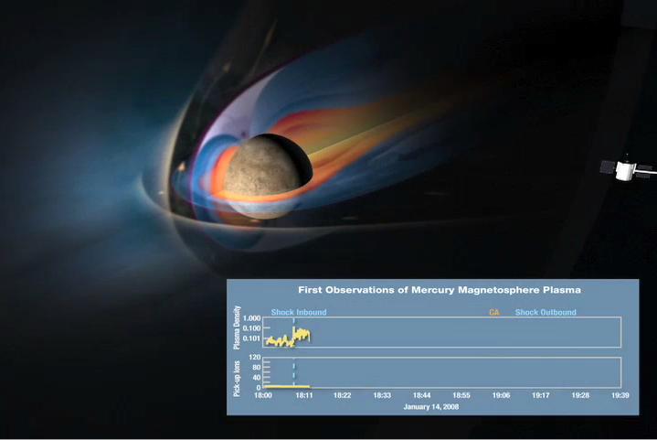
2008-01-30 | Mercury |
MESSENGER |
FIPS EPPS |
719x481x3 |
|
|||||
|
|
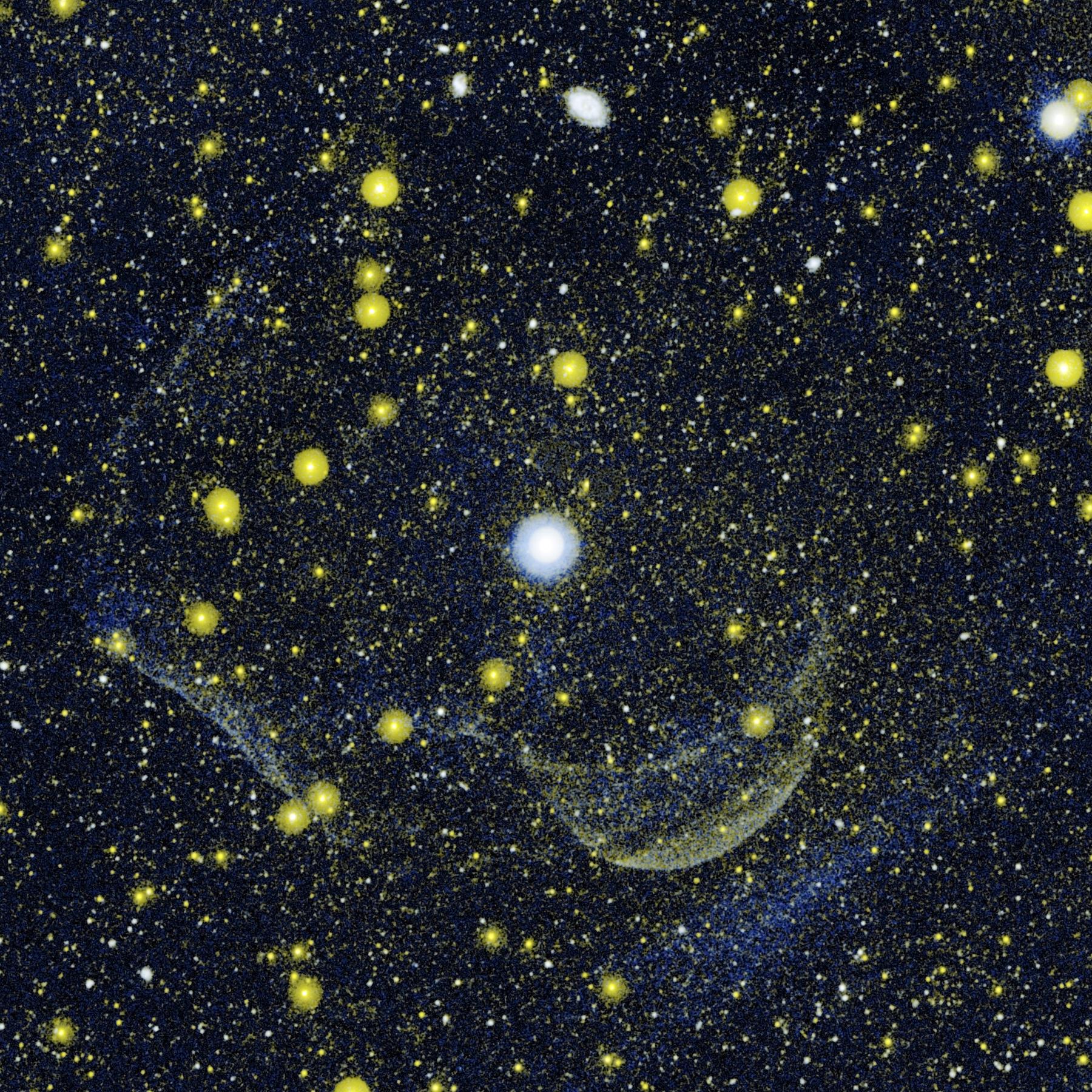
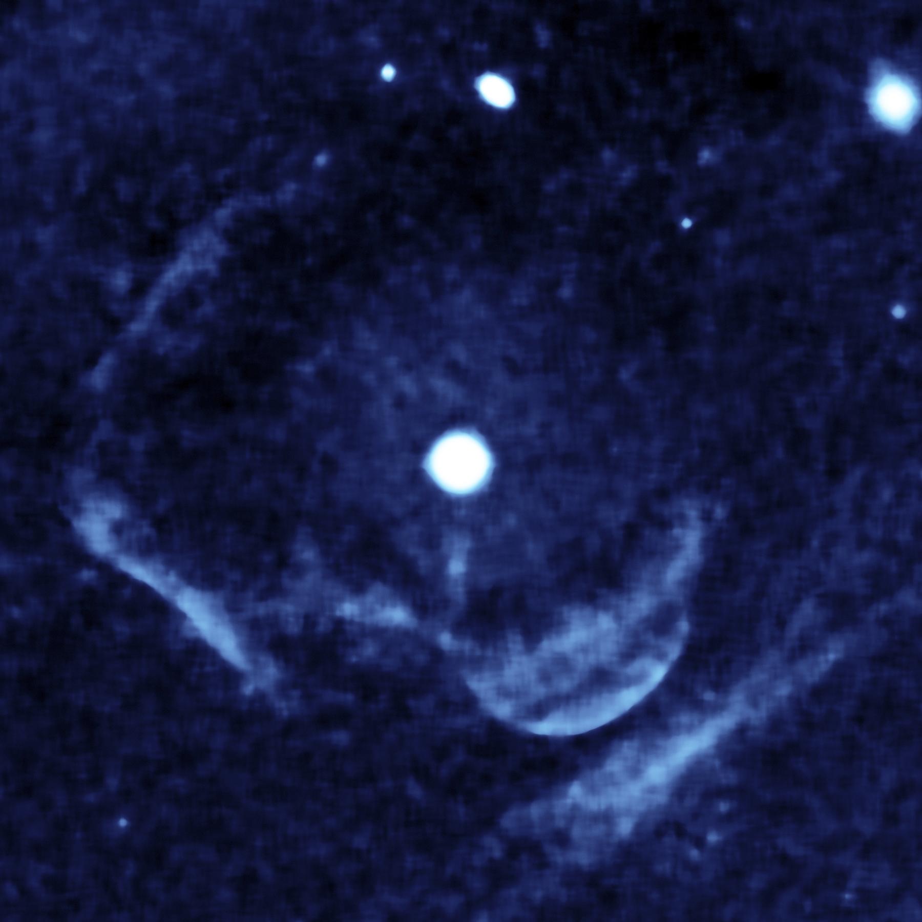
2007-03-07 | Z Camelopardalis |
Galaxy Evolution Explorer (GALEX) |
Far-ultraviolet Detector Near-ultraviolet Detector |
1800x1800x3 |
|
|||||
|
|
2007-03-07 | Z Camelopardalis |
Galaxy Evolution Explorer (GALEX) |
Far-ultraviolet Detector |
1800x1800x3 |
|
|||||
|
|
2009-07-07 |
Lunar Reconnaissance Orbiter (LRO) |
Diviner |
821x463x3 | |
|
|||||
|
|
2005-01-18 | Titan |
Cassini-Huygens |
Descent Imager/Spectral Radiometer |
233x400x1 |
|
|||||
|
|
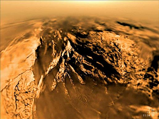
2006-05-04 | Titan |
Cassini-Huygens |
Descent Imager/Spectral Radiometer |
516x387x3 |

|
|||||
|
|
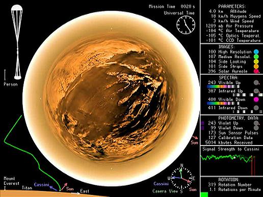
2006-05-04 | Titan |
Cassini-Huygens |
Descent Imager/Spectral Radiometer |
516x387x3 |
|
|||||
|
|
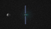
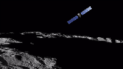
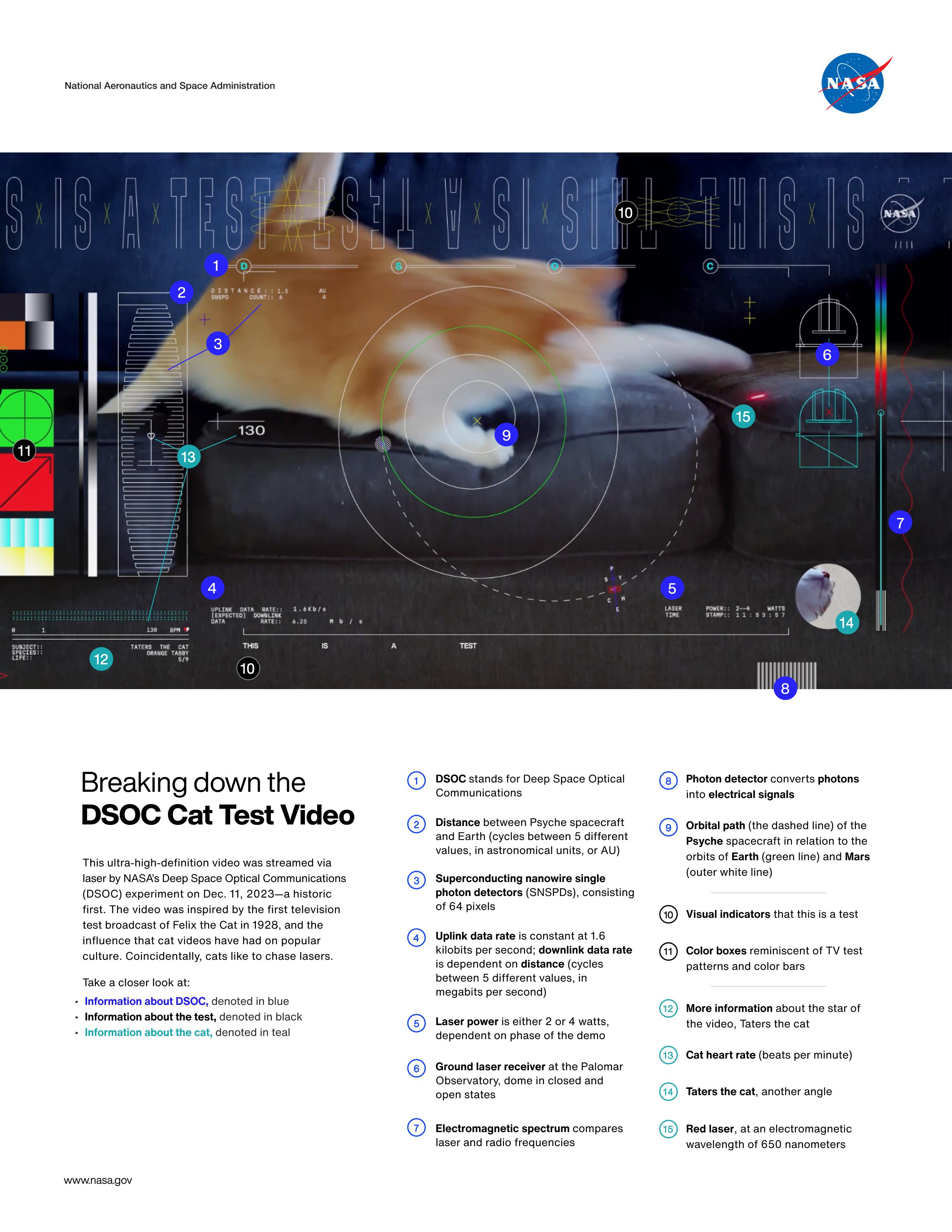
2023-12-18 |
Psyche |
Deep Space Optical Communications (DSOC) |
2448x3168x3 | |
|
|||||
|
|
2021-10-28 | Jupiter |
Deep Space Network (DSN) |
Deep Space Network |
960x540x3 |
|
|||||
|
|
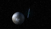
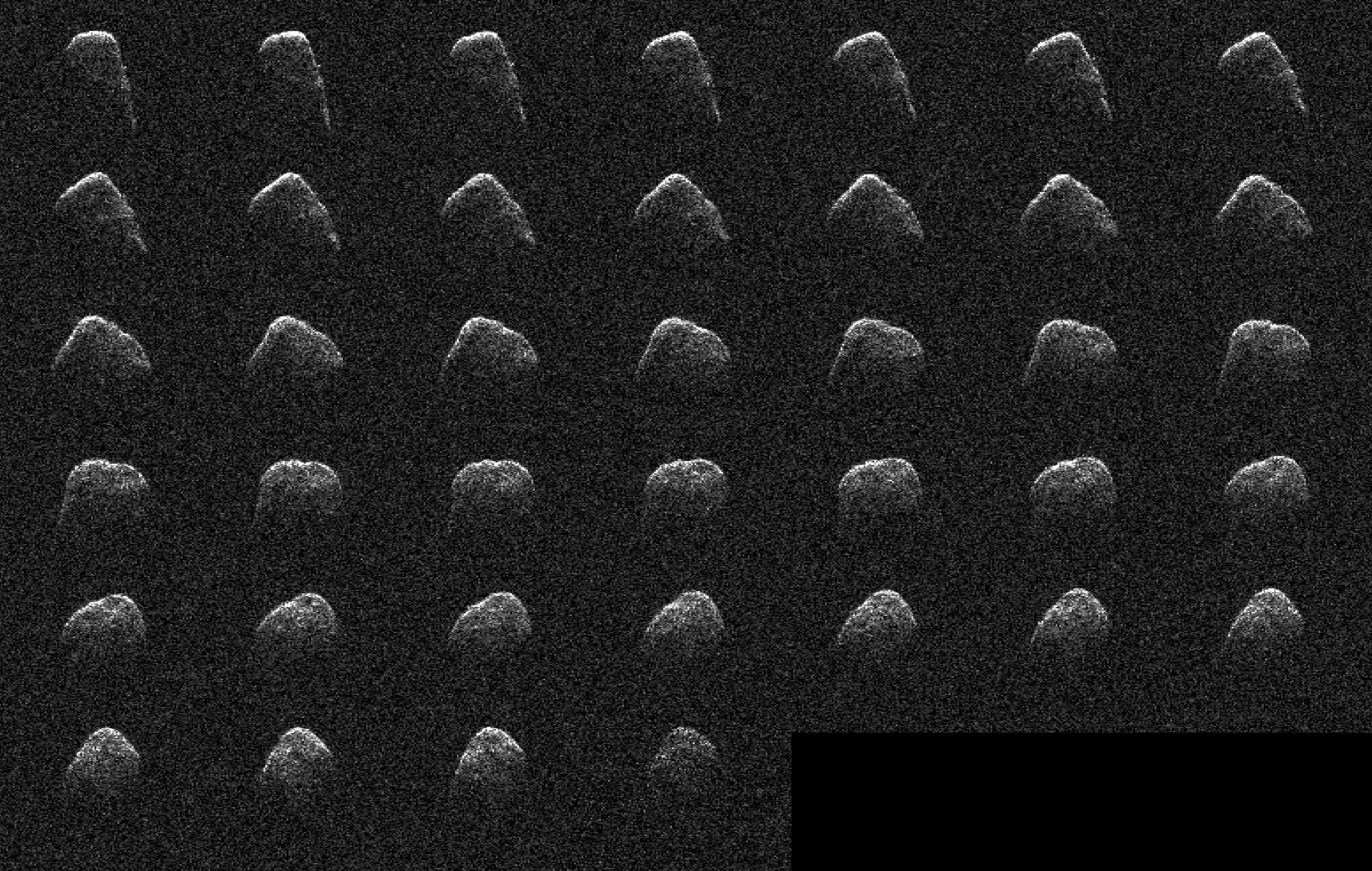
2022-01-10 | Asteroid |
Deep Space Network (DSN) |
Deep Space Network |
3093x1963x1 |
|
|||||
|
|
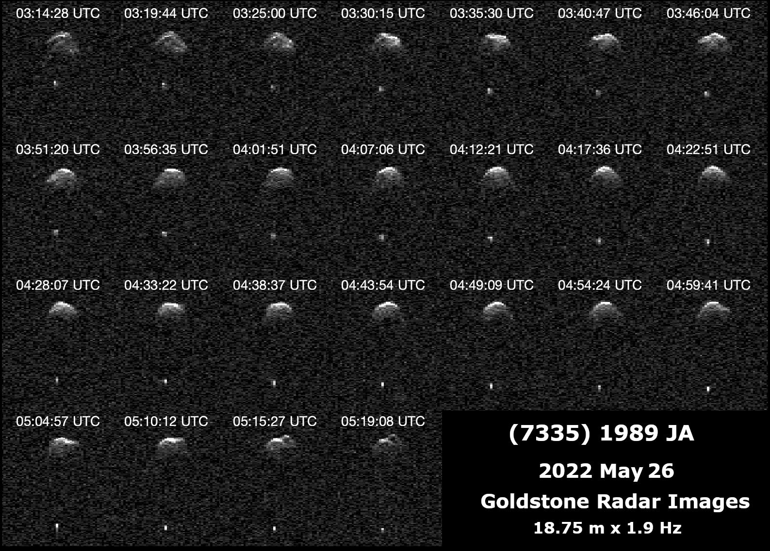
2022-06-29 | Asteroid |
Deep Space Network (DSN) |
Deep Space Network |
1587x1137x1 |
|
|||||
|
|
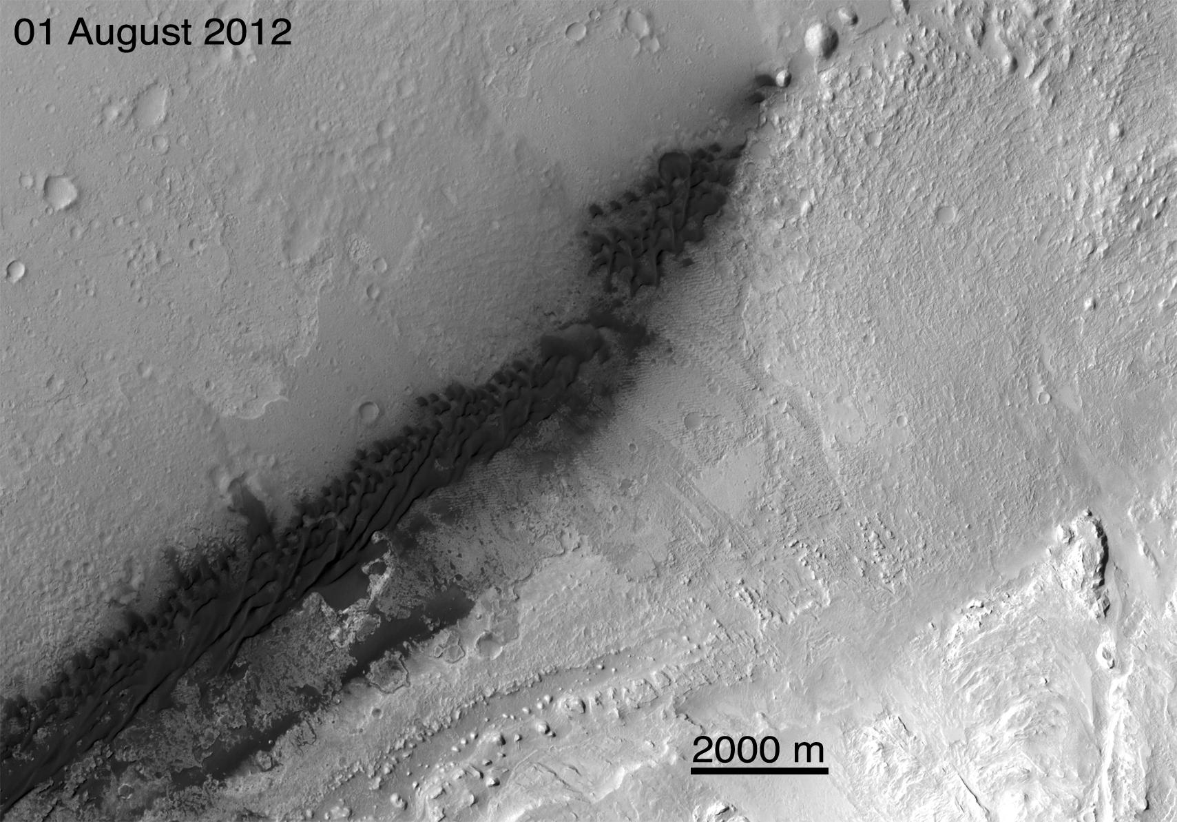
2012-08-08 | Mars |
Mars Reconnaissance Orbiter (MRO) Mars Science Laboratory (MSL) |
CTX |
1709x1193x1 |
|
|||||
|
|
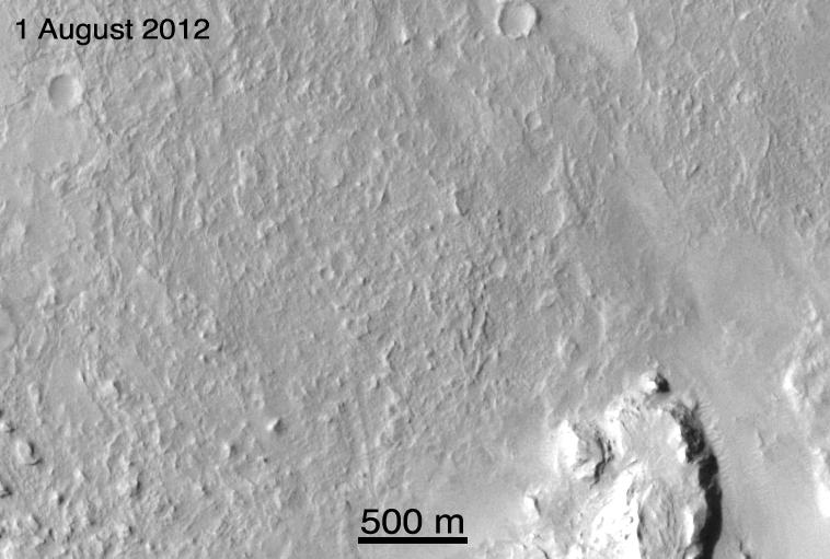
2012-08-08 | Mars |
Mars Reconnaissance Orbiter (MRO) Mars Science Laboratory (MSL) |
CTX |
758x511x1 |
|
|||||
|
|
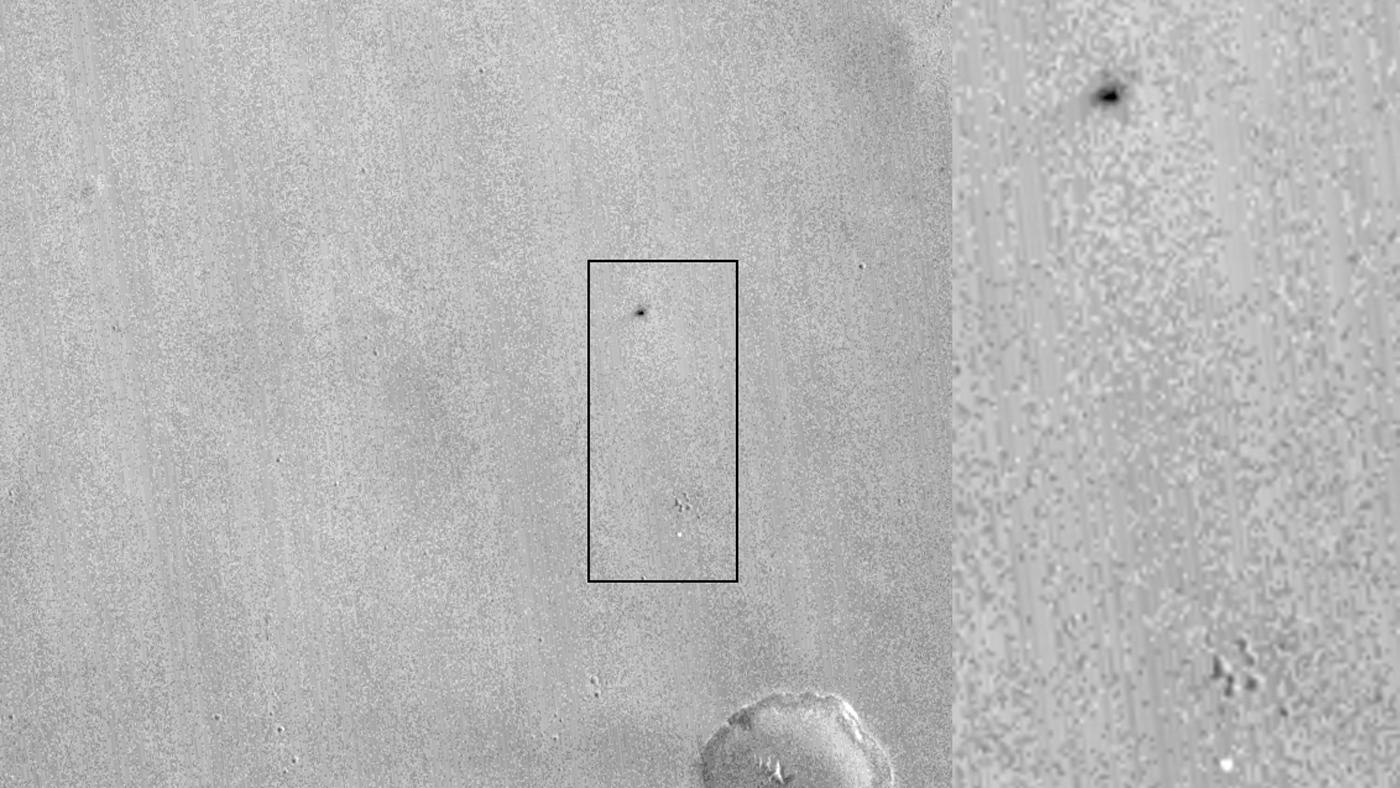
2012-08-08 | Mars |
Mars Reconnaissance Orbiter (MRO) Mars Science Laboratory (MSL) |
CTX |
758x511x1 |

|
|||||
|
|
2016-10-21 | Mars |
Mars Reconnaissance Orbiter (MRO) |
CTX |
1400x788x1 |
|
|||||
|
|
2017-03-29 | Mars |
Mars Reconnaissance Orbiter (MRO) |
CTX |
10000x5000x1 |
|
|||||
|
|
2005-08-31 | Enceladus |
Cassini-Huygens |
Composite Infrared Spectrometer Imaging Science Subsystem Imaging Science Subsystem - Narrow Angle |
318x239x3 |
|
|||||
|
|
2004-10-27 | Titan |
Cassini-Huygens |
Composite Infrared Spectrometer Imaging Science Subsystem Ultraviolet Imaging Spectrograph Visual and Infrared Spectrometer |
485x320x837 |
|
|
||||
|
|
2004-12-13 | Titan |
Cassini-Huygens |
Composite Infrared Spectrometer Imaging Science Subsystem Ultraviolet Imaging Spectrograph Visual and Infrared Mapping Spectrometer |
752x484x3 |
|
|
||||
|
|
2004-12-13 | Dione |
Cassini-Huygens |
Composite Infrared Spectrometer Imaging Science Subsystem Ultraviolet Imaging Spectrograph Visual and Infrared Mapping Spectrometer |
452x484x3 |
|
|
||||
|
|
2012-10-25 | Saturn |
Cassini-Huygens |
Composite Infrared Spectrometer |
1280x720x3 |

|
|||||
|
|
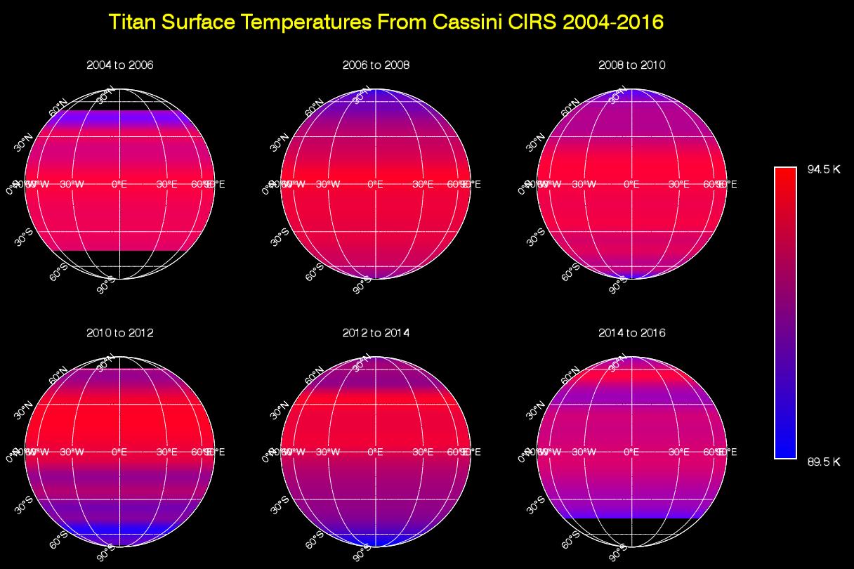
2016-02-18 | Titan |
Cassini-Huygens |
Composite Infrared Spectrometer |
1216x810x3 |
|
|||||
|
|
2007-12-11 | Mars |
Mars Reconnaissance Orbiter (MRO) |
CRISM |
720x486x3 |
|
|||||
|
|
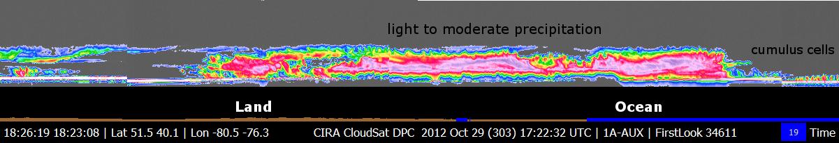
2012-10-30 | Earth |
CloudSat |
Cloud Profiling Radar (CPR) |
1201x206x3 |
|
|||||
|
|
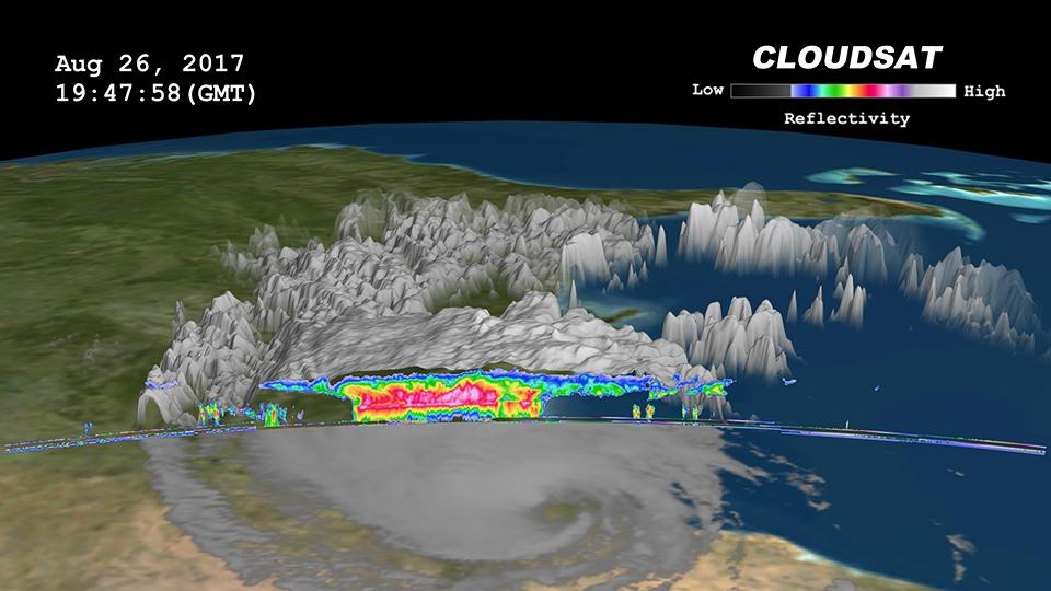
2017-08-29 | Earth |
CloudSat |
Cloud Profiling Radar (CPR) |
960x540x3 |
|
|||||
|
|
2017-09-08 | Earth |
CloudSat |
Cloud Profiling Radar (CPR) |
1672x938x3 |

|
|||||
|
|
2017-09-20 | Earth |
CloudSat |
Cloud Profiling Radar (CPR) |
1672x938x3 |
|
|||||
|
|
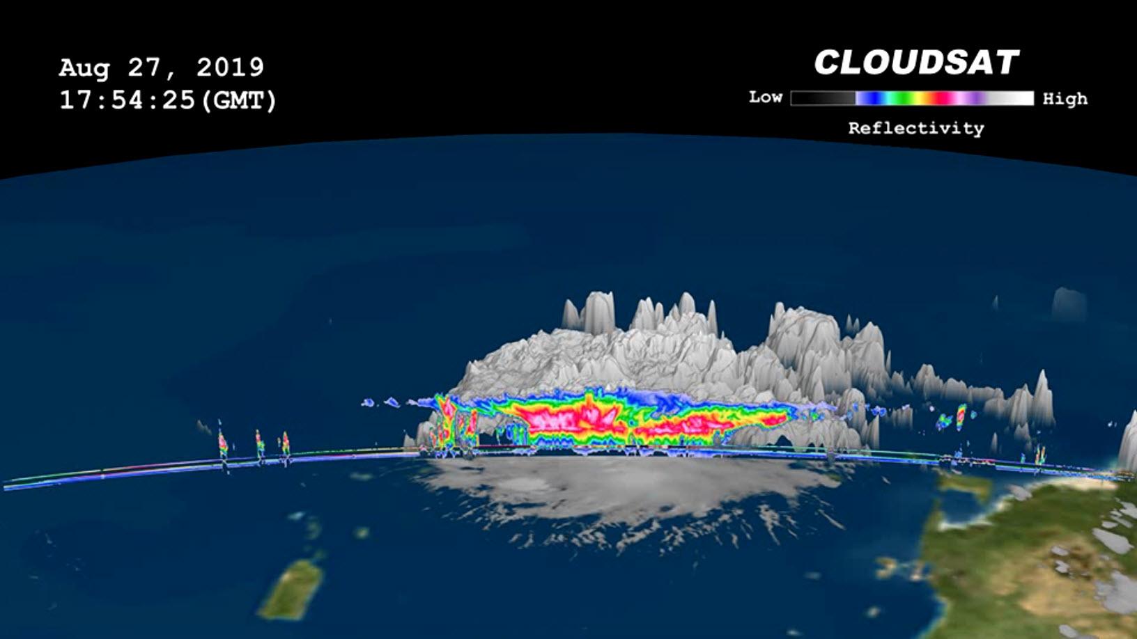
2019-08-29 | Earth |
CloudSat |
Cloud Profiling Radar (CPR) |
1632x918x3 |

|
|||||
|
|
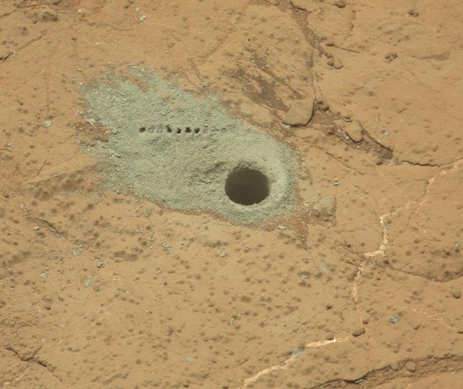
2013-02-20 | Mars |
Mars Science Laboratory (MSL) |
CHIMRA |
1280x720x3 |
|
|||||
|
|
2013-06-05 | Mars |
Mars Science Laboratory (MSL) |
ChemCam Mastcam |
936x786x3 |
|
|||||
|
|
2012-10-22 | Mars |
Mars Science Laboratory (MSL) |
ChemCam |
720x720x1 |
|
|||||
|
|
2013-06-17 | Mars |
Mars Science Laboratory (MSL) |
ChemCam |
514x514x1 |
|
|||||
|
|
2009-01-06 | Cassiopeia A |
Chandra X-ray Observatory Spitzer Space Telescope |
Chandra X-ray Telescope IRAC |
719x479x3 |
|
|||||
|
|
2006-04-24 | M82 Galaxy |
Hubble Space Telescope Spitzer Space Telescope |
Chandra X-ray Telescope Infrared Array Camera (IRAC) Visible Light |
640x480x3 |
|
|||||
|
|
2005-08-29 | Earth |
Shuttle Radar Topography Mission (SRTM) |
C-Band Imaging Radar X-Band Radar |
3000x2519x3 |

|
|||||
|
|
2005-08-29 | Earth |
Shuttle Radar Topography Mission (SRTM) |
C-Band Imaging Radar X-Band Radar |
1800x2061x3 |

|
|||||
|
|
2005-09-22 | Earth |
Shuttle Radar Topography Mission (SRTM) |
C-Band Imaging Radar X-Band Imaging Radar |
3621x1525x3 |
|
|||||
|
|
2012-06-29 | Earth |
Aqua |
AIRS MODIS |
1920x1070x3 |

|
|||||
|
|
2004-08-30 | Earth |
Aqua |
AIRS |
500x342x3 |
|
|||||
|
|
2008-09-17 |
Aqua |
AIRS |
722x485x3 | |
|
|||||
|
|
2009-09-04 | Earth |
Aqua |
AIRS |
640x500x3 |
|
|||||
|
|
2011-07-26 | Earth |
Aqua |
AIRS |
1276x744x3 |
|
|||||
|
|
2013-08-27 | Earth |
Aqua |
AIRS |
1279x713x3 |
|
|||||
|
|
2015-05-07 | Earth |
Aqua |
AIRS |
737x467x3 |
|
|||||
|
|
2016-05-11 | Earth |
Aqua |
AIRS |
914x569x3 |

|
|||||
|
|
2017-01-13 | Earth |
Aqua |
AIRS |
649x464x3 |
|
|||||
|
|
2017-09-08 | Earth |
Aqua |
AIRS |
1920x1080x3 |

|
|||||
|
|
2018-08-14 | Earth |
Aqua |
AIRS |
950x534x3 |
|
|||||
|
|
2019-01-31 | Earth |
Aqua |
AIRS |
1395x783x3 |
|
|||||
|
|
2019-08-23 | Earth |
Aqua |
AIRS |
1400x787x3 |
|
|||||
|
|
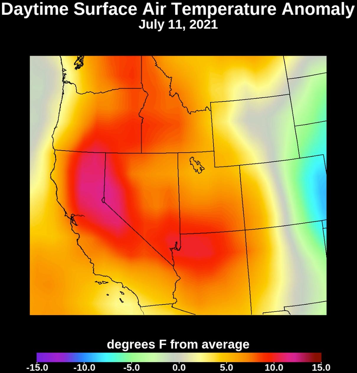
2021-07-08 | Earth |
Aqua |
AIRS |
1210x1266x3 |
|
|||||
|
|
2021-07-15 | Earth |
Aqua |
AIRS |
1210x1266x3 |
|
|||||
|
|
2022-01-04 | Earth |
Aqua |
AIRS |
1664x1740x3 |
|
|||||
|
|
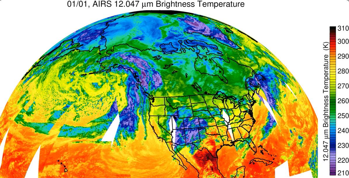
2023-01-10 | Earth |
Aqua |
AIRS |
1195x611x3 |
|
|||||
|
|
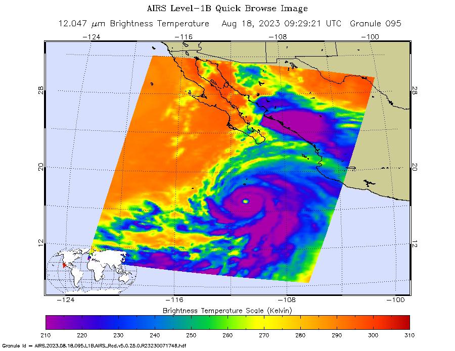
2023-08-18 | Earth |
Aqua |
AIRS |
900x695x3 |
|
|||||
|
|
2018-04-16 | Sol (our sun) |
SDO |
Atmosphere Imaging Assembly |
1650x1650x3 |
|
|||||
|
|
2016-11-09 | Sol (our sun) |
SDO |
Atmosphere Imaging Assembly |
1200x645x3 |
|
|||||
|
|
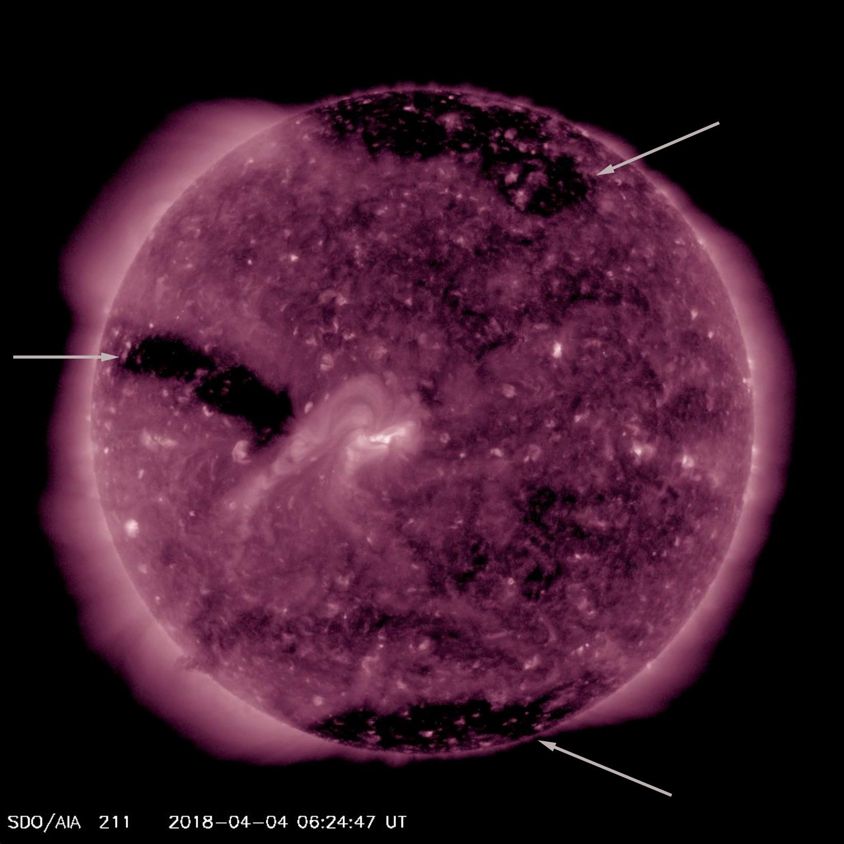
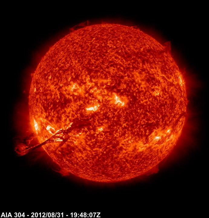
2012-08-31 | Sol (our sun) |
SDO |
Atmosphere Imaging Assembly |
691x720x3 |
|
|||||
|
|
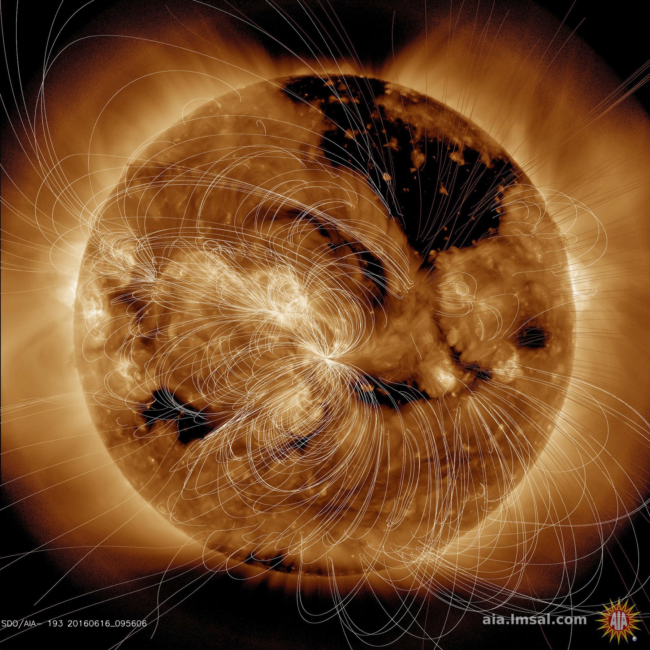
2016-06-16 | Sol (our sun) |
SDO |
Atmosphere Imaging Assembly |
2100x2100x3 |
|
|||||
|
|
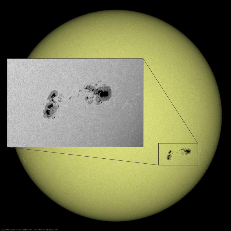
2015-08-26 | Sol (our sun) |
SDO |
Atmosphere Imaging Assembly |
792x792x3 |
|
|||||
|
|
2015-08-19 | Sol (our sun) |
SDO |
Atmosphere Imaging Assembly |
720x720x3 |
|
|||||
|
|
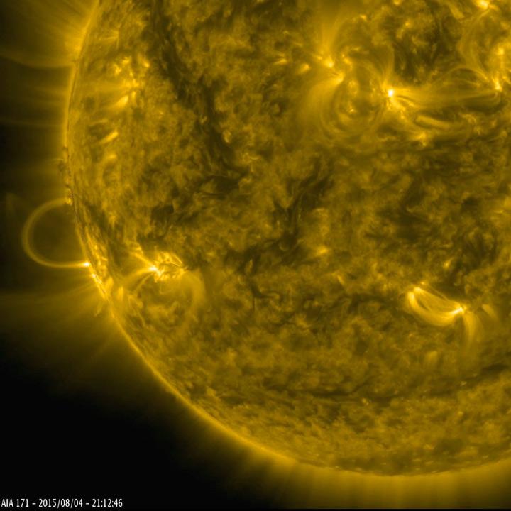
2015-08-06 | Sol (our sun) |
SDO |
Atmosphere Imaging Assembly |
720x720x3 |
|
|||||

|
 |
|
|
|
|
|
|
 |
 |
|

|
| 1-100 | 101-200 | 201-300 | 301-400 | 401-500 | 501-600 | 601-700 | 701-800 | 801-900 | 901-1000 |
| Currently displaying images: 701 - 800 of 1154 |