Click on an image for detailed information
Click on a column heading to sort in ascending or descending order

My
List |
Addition Date
|
Target
|
Mission
|
Instrument
|
Size
|

|
2009-12-28 |
Titan
|
Cassini-Huygens
|
Radar Mapper
|
15360x1792x1 |
|
-
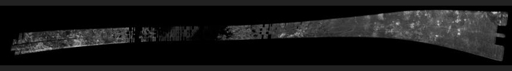
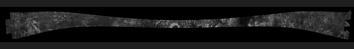
PIA06678:
Titan Radar Swath (T-64 Flyby - Dec. 28, 2009)
Full Resolution:
TIFF
(11.43 MB)
JPEG
(3.356 MB)
|
|
|
2005-02-15 |
Titan
|
Cassini-Huygens
|
Radar Mapper
|
16768x2688x1 |

|
-
PIA04389:
Titan Radar Swath (T-3 Flyby - Feb. 15, 2005)
Full Resolution:
TIFF
(18.88 MB)
JPEG
(5.264 MB)
|
|
|
2005-09-07 |
Titan
|
Cassini-Huygens
|
Radar Mapper
|
6162x1222x1 |
|
-
PIA01855:
Titan Radar Swath (T-7 Flyby - Sept. 7, 2005)
Full Resolution:
TIFF
(5.025 MB)
JPEG
(1.32 MB)
|
|
|
2005-10-28 |
Titan
|
Cassini-Huygens
|
Radar Mapper
|
17610x3153x1 |

|
-
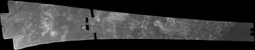
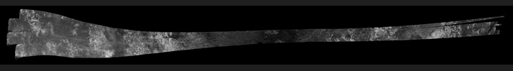
PIA03068:
Titan Radar Swath (T-8 Flyby, Oct. 28, 2005)
Full Resolution:
TIFF
(17.59 MB)
JPEG
(4.557 MB)
|
|
|
2006-10-09 |
Titan
|
Cassini-Huygens
|
Radar Mapper
|
19620x1774x1 |
|
-
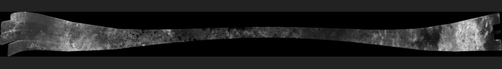
PIA03187:
Titan Radar Swath (T-19 Flyby - Oct. 9, 2006)
Full Resolution:
TIFF
(19.03 MB)
JPEG
(5.221 MB)
|
|
|
2006-12-12 |
Titan
|
Cassini-Huygens
|
Radar Mapper
|
15971x1676x1 |
|
-
PIA04308:
Titan Radar Swath (T-21 Flyby - Dec. 12, 2006)
Full Resolution:
TIFF
(12.45 MB)
JPEG
(3.269 MB)
|
|
|
2007-01-13 |
Titan
|
Cassini-Huygens
|
Radar Mapper
|
19200x1920x1 |
|
-
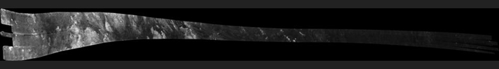
PIA00928:
Titan Radar Swath (T-23 Flyby - Jan. 13, 2007)
Full Resolution:
TIFF
(17.2 MB)
JPEG
(4.487 MB)
|
|
|
2007-12-20 |
Titan
|
Cassini-Huygens
|
Radar Mapper
|
16640x1920x1 |
|
-
PIA01854:
Titan Radar Swath (T-39 Flyby - Dec. 20, 2007)
Full Resolution:
TIFF
(14.13 MB)
JPEG
(4.306 MB)
|
|
|
2010-07-07 |
Titan
|
Cassini-Huygens
|
Radar Mapper
|
14165x894x1 |
|
-
PIA06679:
Titan Radar Swath (T-71 Flyby - July 7, 2010)
Full Resolution:
TIFF
(6.765 MB)
JPEG
(1.677 MB)
|
|
|
2008-12-05 |
Titan
|
Cassini-Huygens
|
Radar Mapper
|
16363x1543x1 |
|
-
PIA00699:
Titan Radar Swath (T-48 Flyby - Dec. 5, 2008)
Full Resolution:
TIFF
(4.783 MB)
JPEG
(1.184 MB)
|
|
|
2010-01-12 |
Titan
|
Cassini-Huygens
|
Radar Mapper
|
9179x3260x1 |
|
-
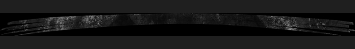
PIA00927:
-
Titan Radar Swath (T-65 Flyby - Jan. 12, 2010)
Full Resolution:
TIFF
(4.485 MB)
JPEG
(1.197 MB)
|
|
|
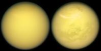
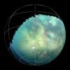
2017-06-14 |
Titan
|
Cassini-Huygens
|
ISS - Narrow Angle
|
2205x2092x1 |

|
-
PIA21615:
-
Northern Summer on Titan
Full Resolution:
TIFF
(2.422 MB)
JPEG
(124.5 kB)
|
|
|
2017-08-11 |
Titan
|
Cassini-Huygens
|
Imaging Science Subsystem
|
2024x1024x3 |
|
-
PIA21624:
-
Two Titans
Full Resolution:
TIFF
(4.063 MB)
JPEG
(72.98 kB)
|
|
|
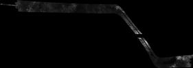
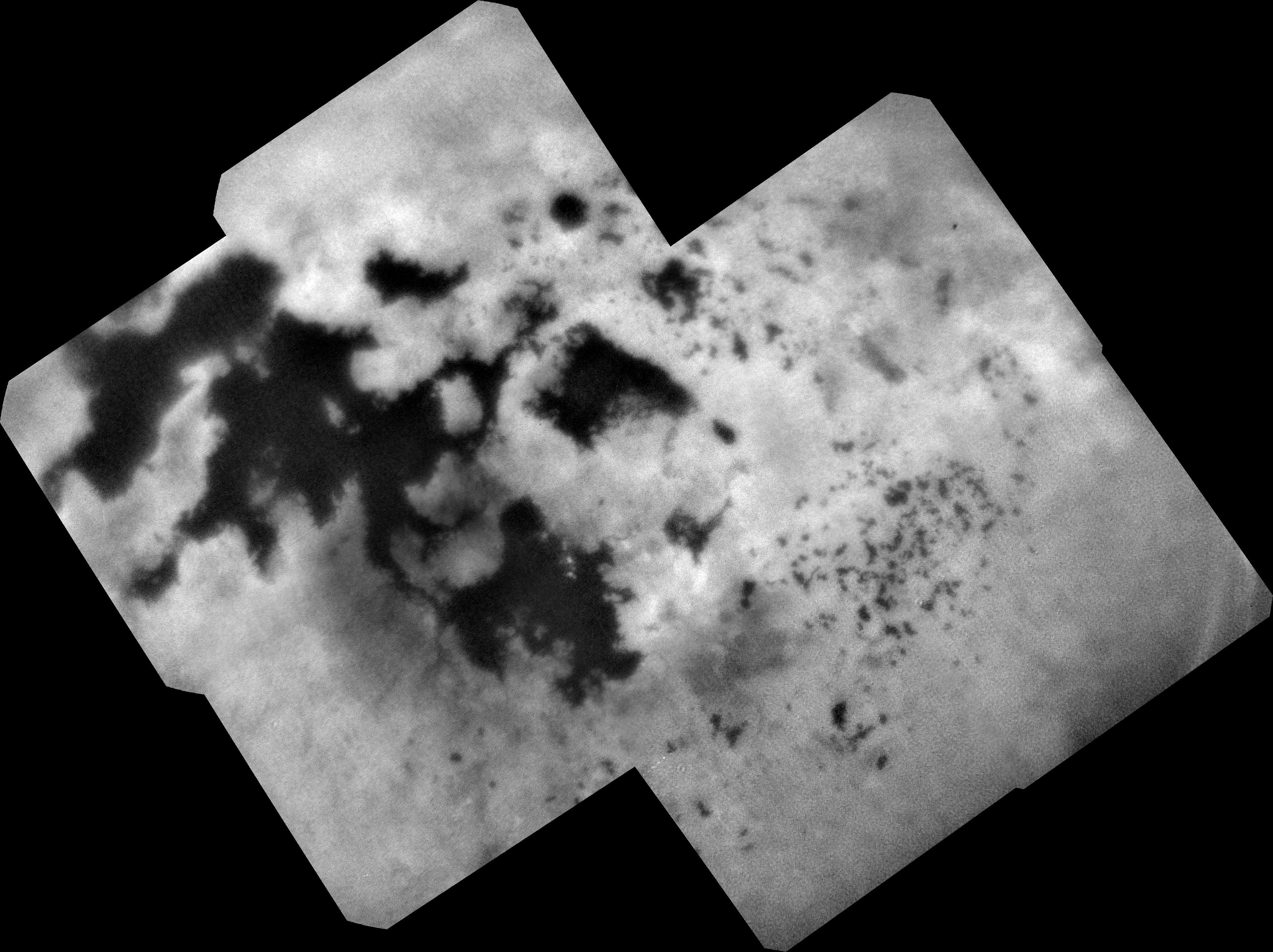
2017-08-11 |
Titan
|
Cassini-Huygens
|
Radar Mapper
|
14594x2578x1 |

|
-
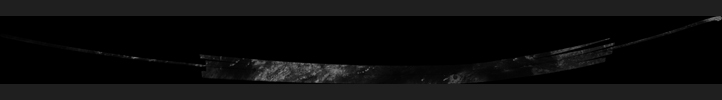
PIA21626:
Cassini's Final Titan Radar Swath
Full Resolution:
TIFF
(10.77 MB)
JPEG
(3.532 MB)
|
|
|
2017-08-11 |
Titan
|
Cassini-Huygens
|
ISS - Narrow Angle
|
836x731x3 |
|
-
PIA21625:
-
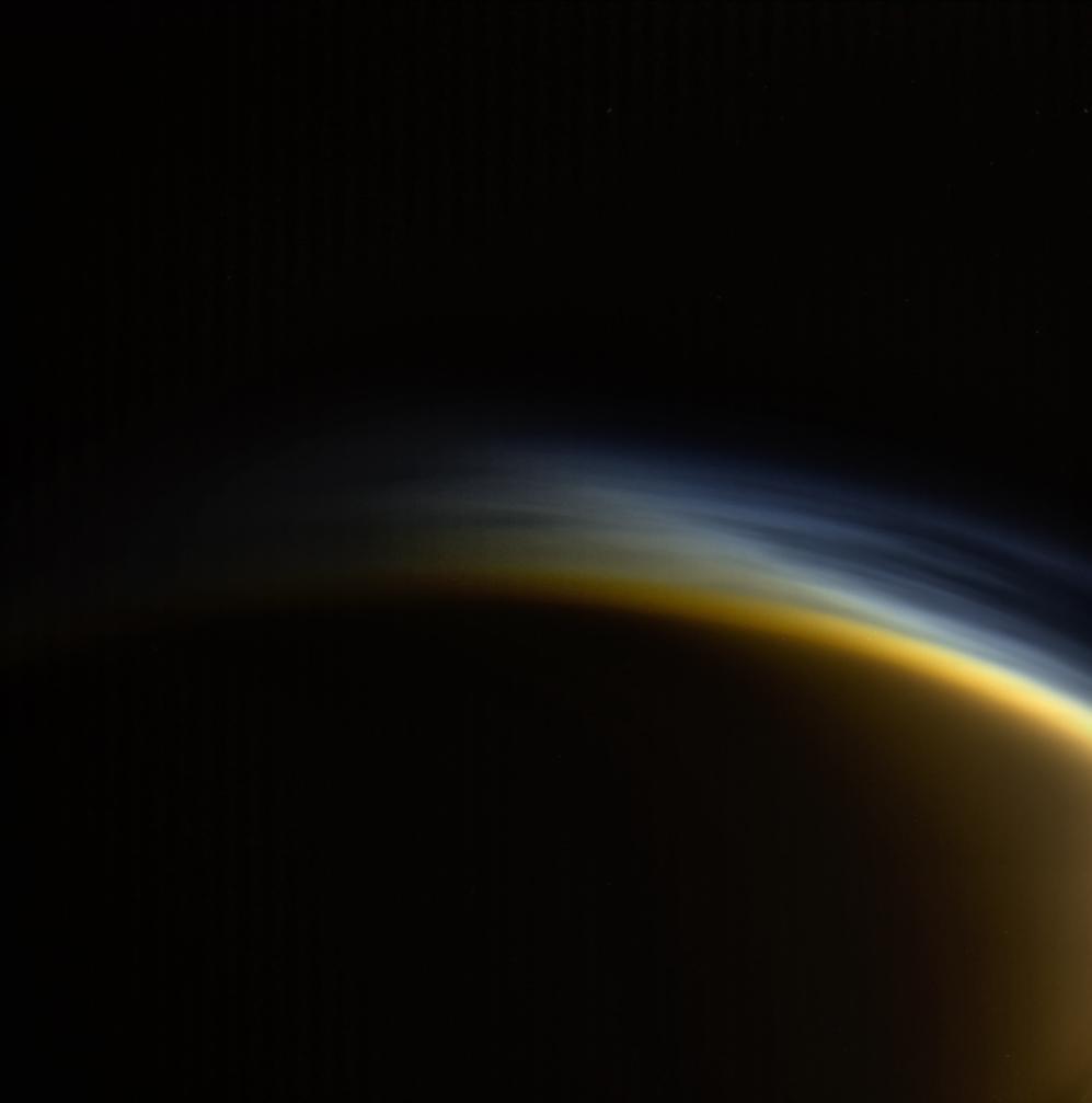
Highlighting Titan's Hazes
Full Resolution:
TIFF
(692.3 kB)
JPEG
(17.39 kB)
|
|
|
2017-09-15 |
Titan
|
Cassini-Huygens
|
ISS - Narrow Angle
|
1024x1024x3 |

|
-
PIA21890:
-
A Last Look at Titan
Full Resolution:
TIFF
(2.643 MB)
JPEG
(31.57 kB)
|
|
|
2018-01-15 |
Titan
|
Cassini-Huygens
|
ISS - Wide Angle
|
997x1007x3 |
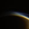
|
-
PIA21902:
-
Twilight Haze
Full Resolution:
TIFF
(1.143 MB)
JPEG
(24.96 kB)
|
|
|
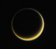
2018-02-05 |
Titan
|
Cassini-Huygens
|
ISS - Narrow Angle
|
570x570x3 |

|
-
PIA21904:
-
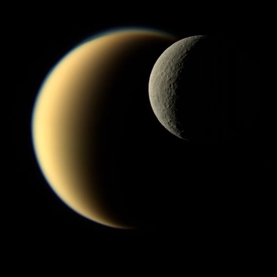
Contrasting Crescents
Full Resolution:
TIFF
(346.2 kB)
JPEG
(12.7 kB)
|
|
|
2018-05-21 |
Titan
|
Cassini-Huygens
|
ISS - Narrow Angle
|
1337x1329x1 |

|
-
PIA19642:
-
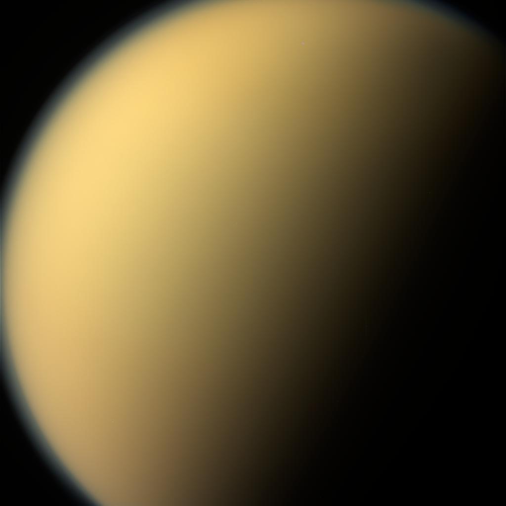
A World All Its Own
Full Resolution:
TIFF
(1.656 MB)
JPEG
(71.7 kB)
|
|
|
2018-07-18 |
Titan
|
Cassini-Huygens
|
Visual and Infrared Mapping Spectrometer
|
5448x3686x3 |
|
-
PIA21923:
-
Seeing Titan with Infrared Eyes
Full Resolution:
TIFF
(30.68 MB)
JPEG
(900.4 kB)
|
|
|
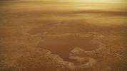
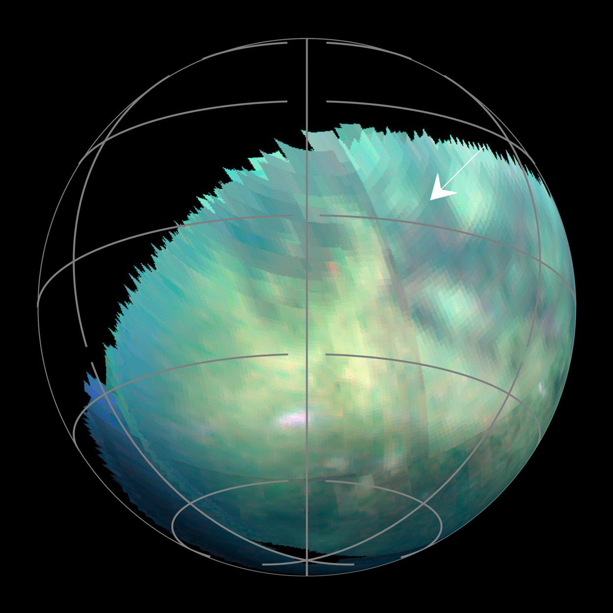
2018-09-13 |
Titan
|
Cassini-Huygens
|
ISS - Narrow Angle
|
3604x2695x1 |

|
-
PIA22481:
-
Titan Lakes
Full Resolution:
TIFF
(6.701 MB)
JPEG
(1.067 MB)
|
|
|
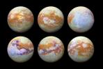
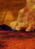
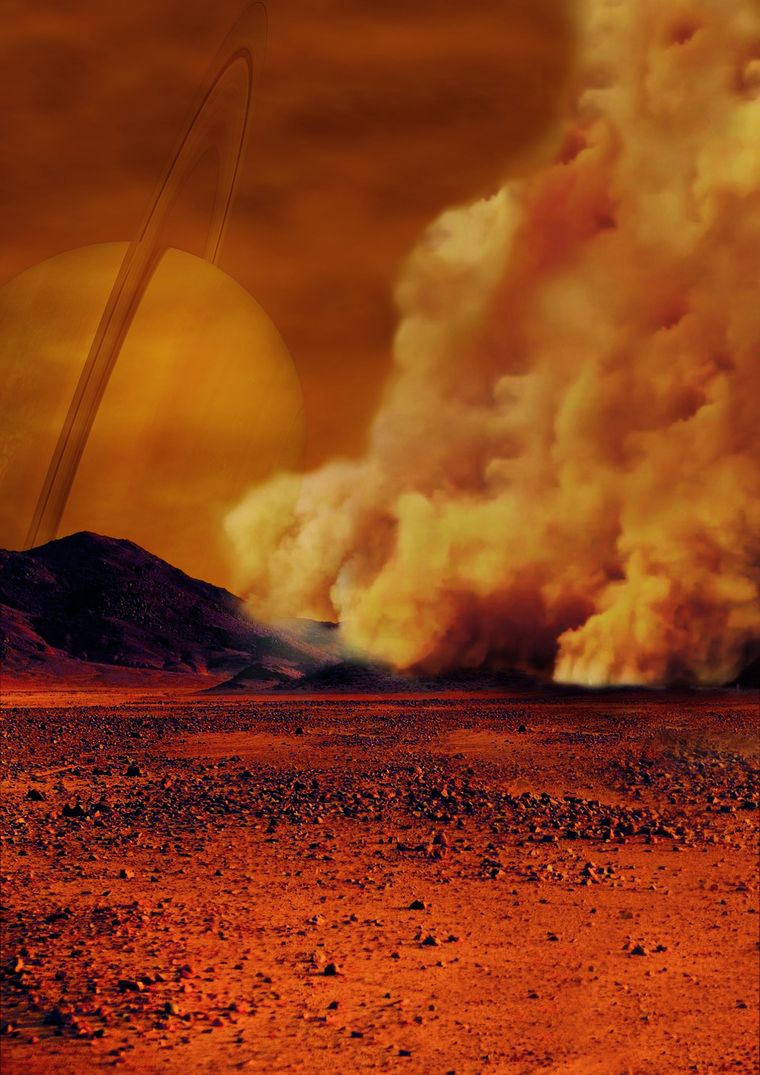
2018-09-24 |
Titan
|
Cassini-Huygens
|
|
2480x3508x3 |
|
-
PIA22482:
-
Dust Storms Raised by Strong Winds on Titan (Artist's Concept)
Full Resolution:
TIFF
(22.72 MB)
JPEG
(790.4 kB)
|
|
|
2018-09-24 |
Titan
|
Cassini-Huygens
|
Visual and Infrared Mapping Spectrometer
|
1250x1250x3 |
|
-
PIA22483:
-
Spotting Dust Storms on Titan
Full Resolution:
TIFF
(1.103 MB)
JPEG
(1.206 MB)
|
|
|
2018-09-24 |
Titan
|
Cassini-Huygens
|
Visual and Infrared Mapping Spectrometer
|
13008x9984x3 |

|
-
PIA22484:
-
Dust Storms on Titan
Full Resolution:
TIFF
(86.64 MB)
JPEG
(4.45 MB)
|
|
|
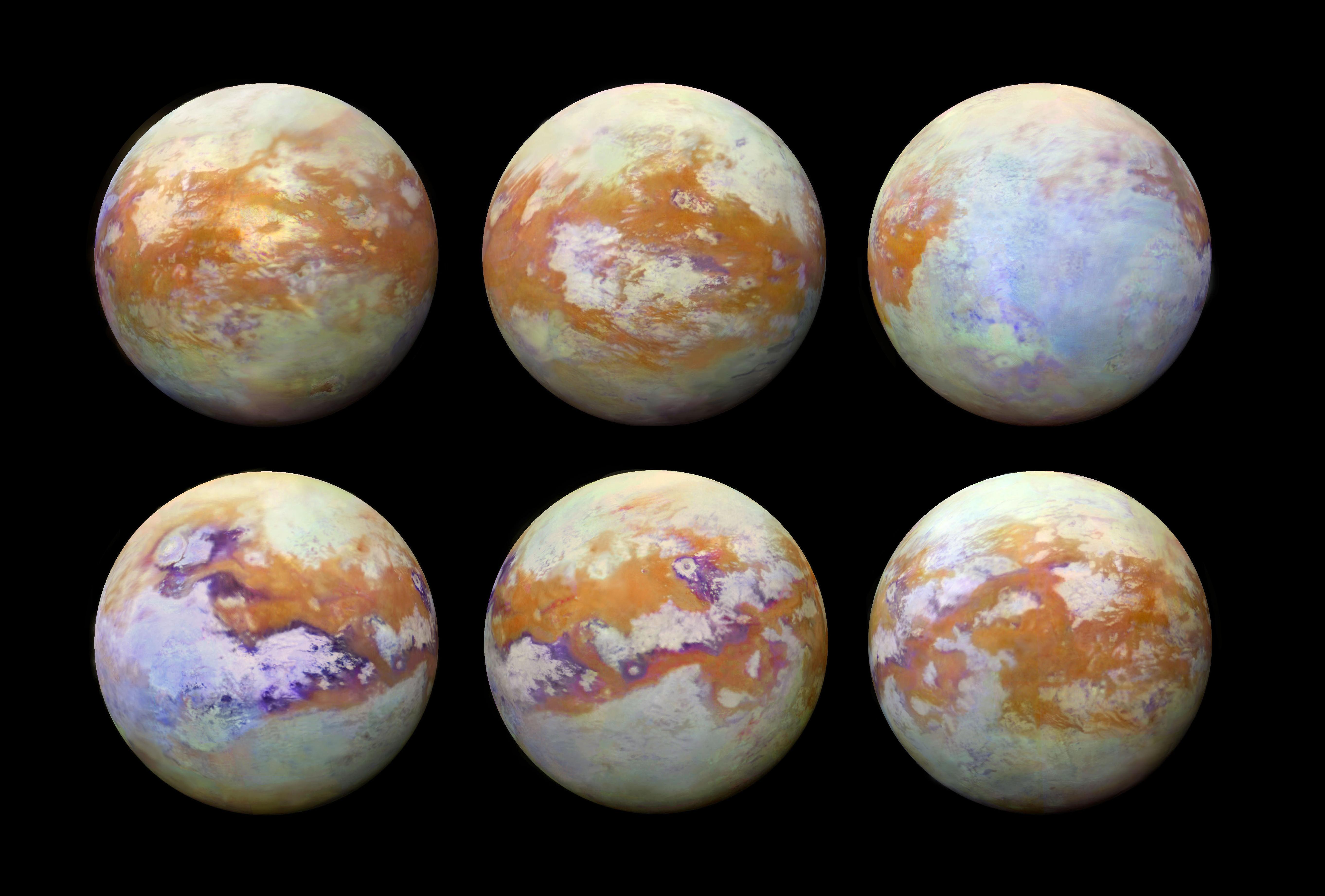
2018-12-06 |
Titan
|
Cassini-Huygens
|
Imaging Science Subsystem
|
5760x2880x1 |

|
-
PIA22770:
-
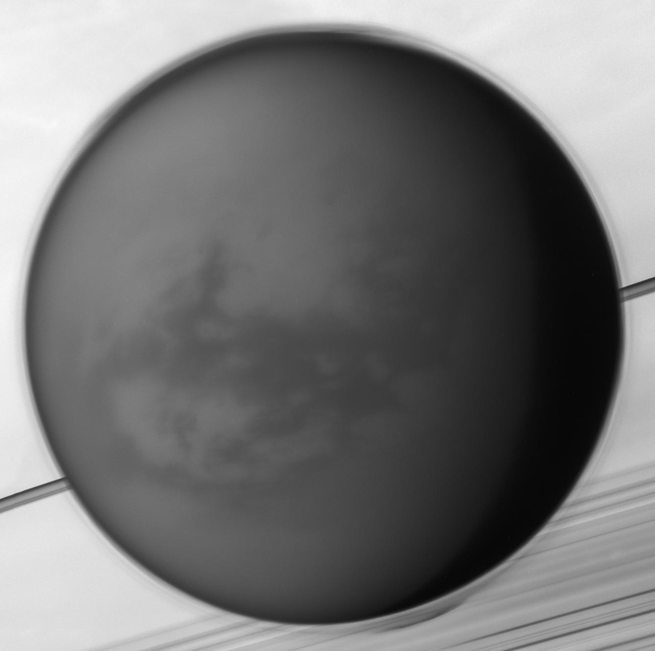
Titan Mosaic: The Surface Under the Haze
Full Resolution:
TIFF
(10.95 MB)
JPEG
(891 kB)
|
|
|
2019-09-06 |
Titan
|
Cassini-Huygens
|
|
3840x2160x3 |
|
-
PIA23172:
-
Titan's Rimmed Lakes (Artist's Concept)
Full Resolution:
TIFF
(17.55 MB)
JPEG
(790.3 kB)
|
|
|
2019-11-18 |
Titan
|
Cassini-Huygens
|
Imaging Science Subsystem
Radar Mapper
|
6604x3746x3 |
|
-
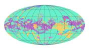
PIA23174:
-
First Global Geologic Map of Titan
Full Resolution:
TIFF
(8.721 MB)
JPEG
(2.02 MB)
|
|
|
1996-01-29 |
Titania
|
Voyager
|
VG ISS - Narrow Angle
|
700x700x3 |

|
-
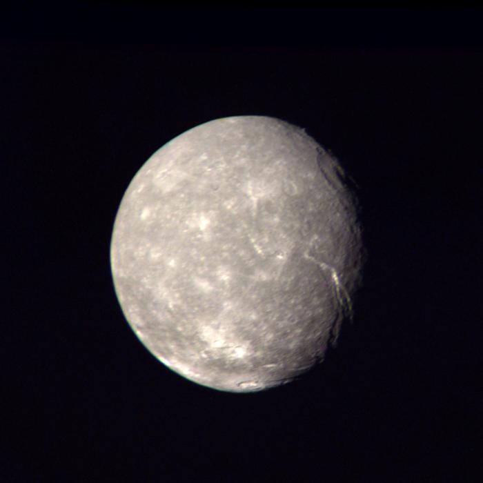
PIA00036:
-
Titania High-Resolution Color Composite
Full Resolution:
TIFF
(1.017 MB)
JPEG
(24.12 kB)
|
|
|
1996-01-29 |
Titania
|
Voyager
|
VG ISS - Narrow Angle
|
640x760x1 |

|
-
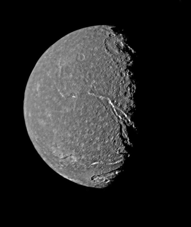
PIA00039:
-
Titania - Highest Resolution Voyager Picture
Full Resolution:
TIFF
(145.1 kB)
JPEG
(33.78 kB)
|
|
|
1999-06-19 |
Titania
|
Voyager
|
VG ISS - Narrow Angle
|
150x440x1 |
|
-
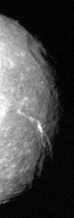
PIA01978:
-
Uranus Moon - Titania
Full Resolution:
TIFF
(52.26 kB)
JPEG
(7.353 kB)
|
|
|
1999-06-19 |
Titania
|
Voyager
|
VG ISS - Narrow Angle
|
784x560x1 |

|
-
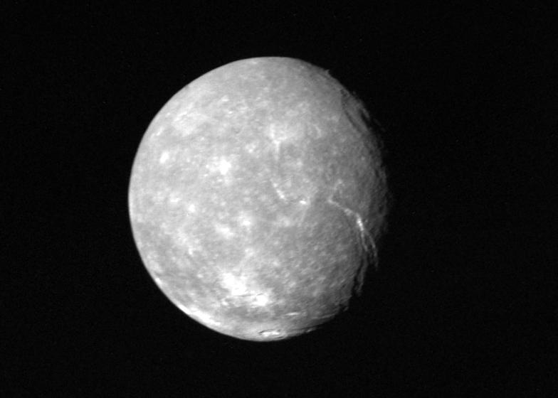
PIA01979:
-
Full-disk View of Titania
Full Resolution:
TIFF
(282.7 kB)
JPEG
(29.85 kB)
|
|
|
1998-06-04 |
Triton
|
Voyager
|
|
4500x3500x3 |
|
-
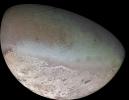
PIA00317:
-
Global Color Mosaic of Triton
Full Resolution:
TIFF
(29.1 MB)
JPEG
(2.06 MB)
|
|
|
1998-12-05 |
Uranus
|
Voyager
|
VG ISS - Narrow Angle
|
1567x929x3 |
|
-
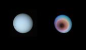
PIA01360:
-
Uranus, Toward the Planet's Pole of Rotation
Full Resolution:
TIFF
(640.1 kB)
JPEG
(39.86 kB)
|
|
|
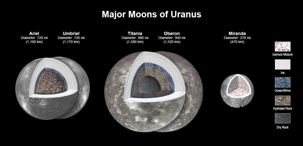
2023-05-04 |
Uranus
|
Voyager
|
|
1215x588x3 |
|
-
PIA25500:
-
Major Moons of Uranus
Full Resolution:
TIFF
(651 kB)
JPEG
(68.15 kB)
|


