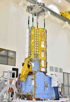
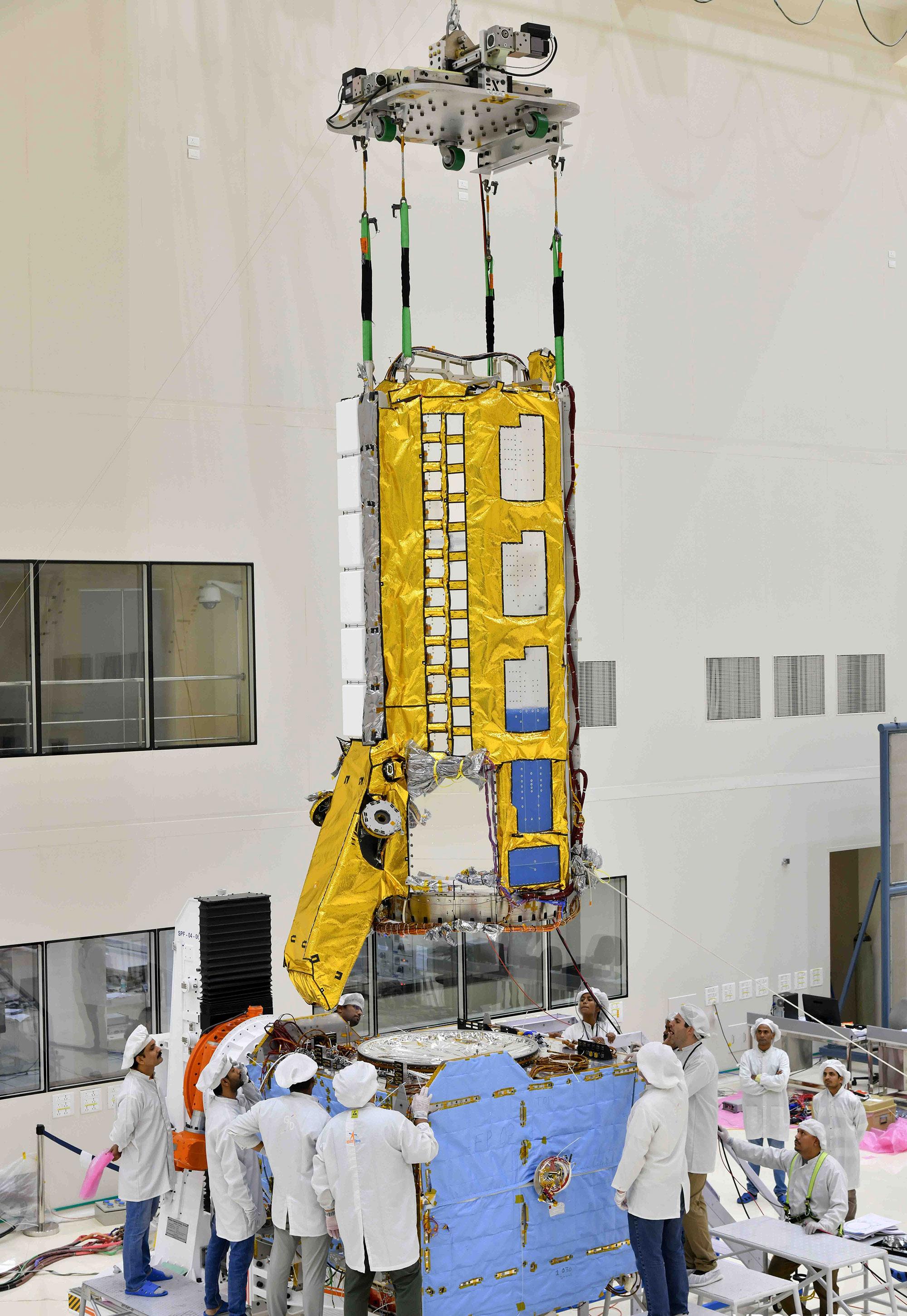
Figure AEngineers from NASA's Jet Propulsion Laboratory in Southern California and the Indian Space Research Organisation (ISRO), working in a clean room facility at ISRO's U R Rao Satellite Centre (URSC) in Bengaluru, India, in mid-June 2023, use a crane to align the radar instrument payload for the NISAR (NASA-ISRO Synthetic Aperture Radar) mission above the satellite's spacecraft bus so that the two components can be combined.
Figure A shows the payload fully lowered onto the bus.
Set to launch in early 2024 from the Satish Dhawan Space Centre in Sriharikota, India, NISAR is being jointly developed by NASA and ISRO to observe movements of Earth's land and ice surfaces in extremely fine detail. As NISAR observes nearly every part of Earth at least once every 12 days, the satellite will help scientists understand, among other observables, the dynamics of forests, wetlands, and agricultural lands.
The radar instrument payload, partially wrapped in gold-colored thermal blanketing, arrived from JPL in March and consists of L- and S-band radar systems, so named to indicate the wavelengths of their signals. Both sensors can see through clouds and collect data day and night. The bus, which is shown in blue blanketing and includes components and systems developed by both ISRO and JPL, was built at URSC and will provide power, navigation, pointing control, and communications for the mission.
NISAR is an equal collaboration between NASA and ISRO and marks the first time the two agencies have cooperated on hardware development for an Earth-observing mission. JPL, which is managed for NASA by Caltech in Pasadena, leads the U.S. component of the project and is providing the mission's L-band SAR. NASA is also providing the radar reflector antenna, the deployable boom, a high-rate communication subsystem for science data, GPS receivers, a solid-state recorder, and payload data subsystem. URSC, which is leading the ISRO component of the mission, is providing the spacecraft bus, the S-band SAR electronics, the launch vehicle, and associated launch services and satellite mission operations.
To learn more about NISAR, visit: https://nisar.jpl.nasa.gov/
 Planetary Data System


