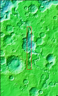
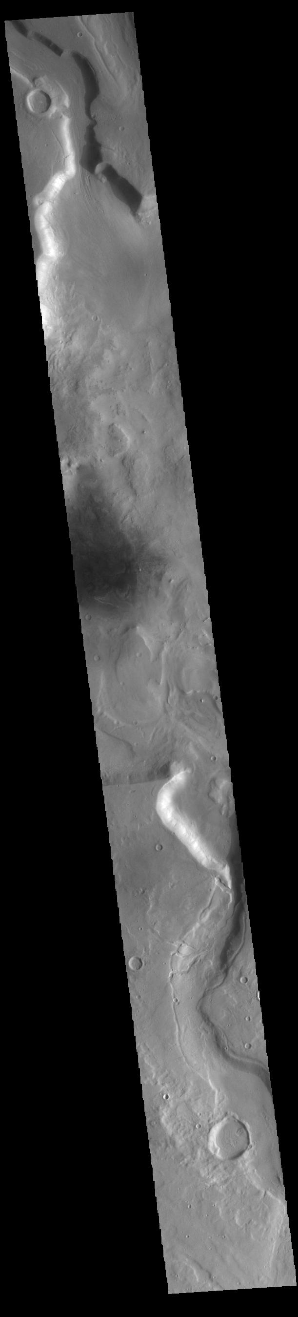
Context imageToday's VIS image shows a section of Mamers Valles. The channel enters a crater in the center of the image and exits at the top of the image. The channel is nearly 1000 km long (600 miles). Mamers Valles originates near Cerulli Crater in northern Arabia Terra, and after a short section near the crater where flow is to the south, flows northward to empty in Deuteronilus Mensae. The steep walls of Mamers Valles can reach heights of 1200 m (4000 feet).
Orbit Number: 89520 Latitude: 33.5229 Longitude: 17.1272 Instrument: VIS Captured: 2022-02-18 09:21
Please see the THEMIS Data Citation Note for details on crediting THEMIS images.
NASA's Jet Propulsion Laboratory manages the 2001 Mars Odyssey mission for NASA's Science Mission Directorate, Washington, D.C. The Thermal Emission Imaging System (THEMIS) was developed by Arizona State University, Tempe, in collaboration with Raytheon Santa Barbara Remote Sensing. The THEMIS investigation is led by Dr. Philip Christensen at Arizona State University. Lockheed Martin Astronautics, Denver, is the prime contractor for the Odyssey project, and developed and built the orbiter. Mission operations are conducted jointly from Lockheed Martin and from JPL, a division of the California Institute of Technology in Pasadena.
