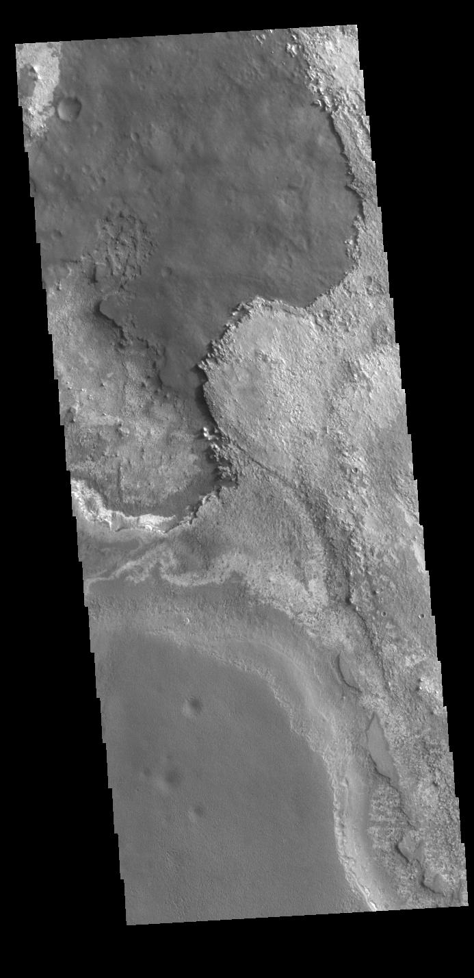
Context imageThis VIS image shows layering of surface materials in Meridiani Planum. TES (Thermal Emission Spectrometer) initially detected hematite in a surface layer, which was confimed by THEMIS (THermal EMision Imaging System). These findings supported a water rich origin of the hematite and led to the selection of the site for the Opportunity MER (Mars Exploration Rover).
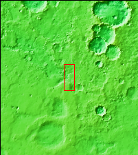
Orbit Number: 87337 Latitude: 1.58599 Longitude: 0.436954 Instrument: VIS Captured: 2021-08-22 15:12
Please see the THEMIS Data Citation Note for details on crediting THEMIS images.
NASA's Jet Propulsion Laboratory manages the 2001 Mars Odyssey mission for NASA's Science Mission Directorate, Washington, D.C. The Thermal Emission Imaging System (THEMIS) was developed by Arizona State University, Tempe, in collaboration with Raytheon Santa Barbara Remote Sensing. The THEMIS investigation is led by Dr. Philip Christensen at Arizona State University. Lockheed Martin Astronautics, Denver, is the prime contractor for the Odyssey project, and developed and built the orbiter. Mission operations are conducted jointly from Lockheed Martin and from JPL, a division of the California Institute of Technology in Pasadena.
