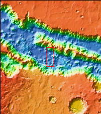
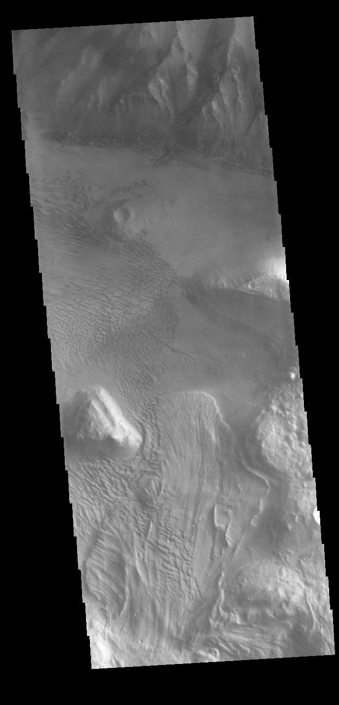
Context imageThis VIS image is located on the eastern side of Coprates Chasma, near Capri Chasma. The image shows a large lobe shaped landslide deposit at the bottom of the canyon cliff face. Sand dunes are visible both on the landslide deposit and other parts of the canyon floor. Coprates Chasma is one of the numerous canyons that make up Valles Marineris. The chasma stretches for 960 km (600 miles) from Melas Chasma to the west and Capri Chasma to the east. Landslide deposits, layered materials and sand dunes cover a large portion of the chasma floor.
Orbit Number: 88225 Latitude: -15.0285 Longitude: 304.496 Instrument: VIS Captured: 2021-11-03 17:56
Please see the THEMIS Data Citation Note for details on crediting THEMIS images.
NASA's Jet Propulsion Laboratory manages the 2001 Mars Odyssey mission for NASA's Science Mission Directorate, Washington, D.C. The Thermal Emission Imaging System (THEMIS) was developed by Arizona State University, Tempe, in collaboration with Raytheon Santa Barbara Remote Sensing. The THEMIS investigation is led by Dr. Philip Christensen at Arizona State University. Lockheed Martin Astronautics, Denver, is the prime contractor for the Odyssey project, and developed and built the orbiter. Mission operations are conducted jointly from Lockheed Martin and from JPL, a division of the California Institute of Technology in Pasadena.