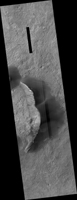
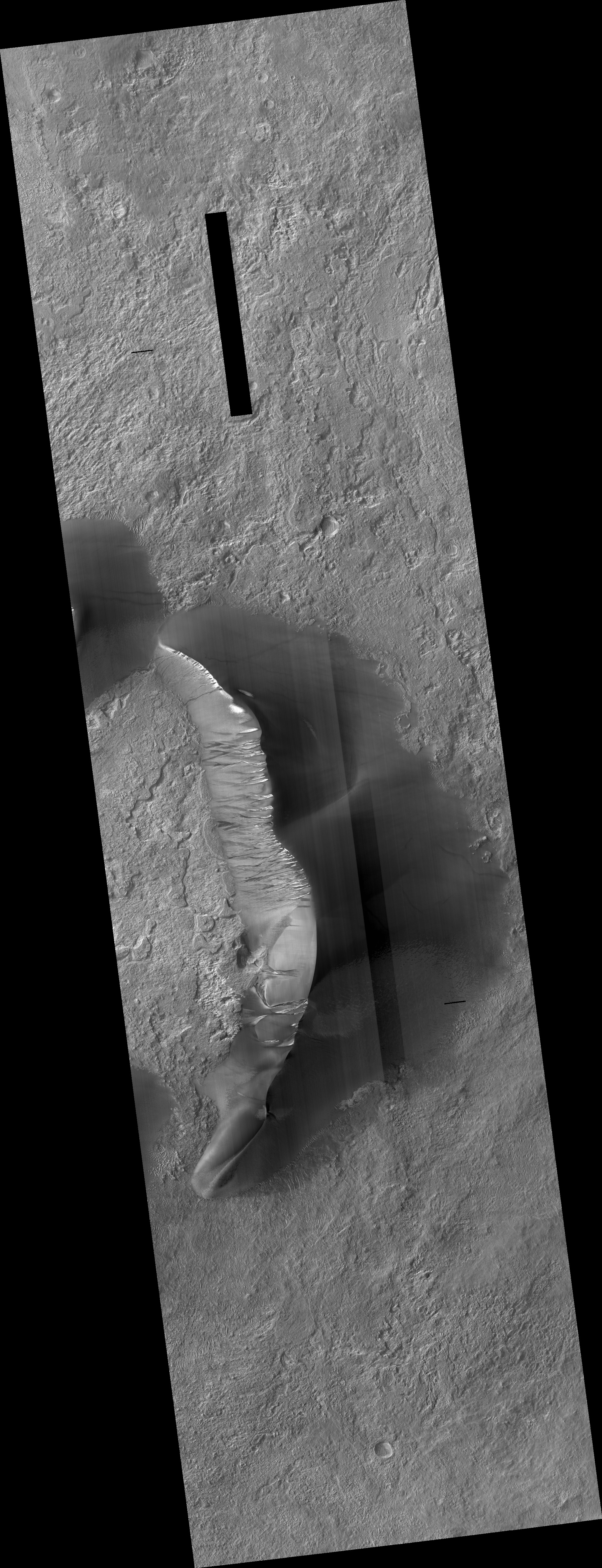
Map Projected Browse Image
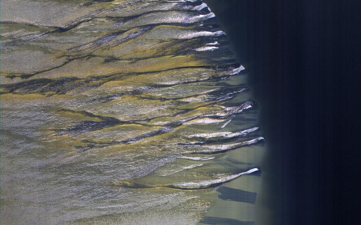
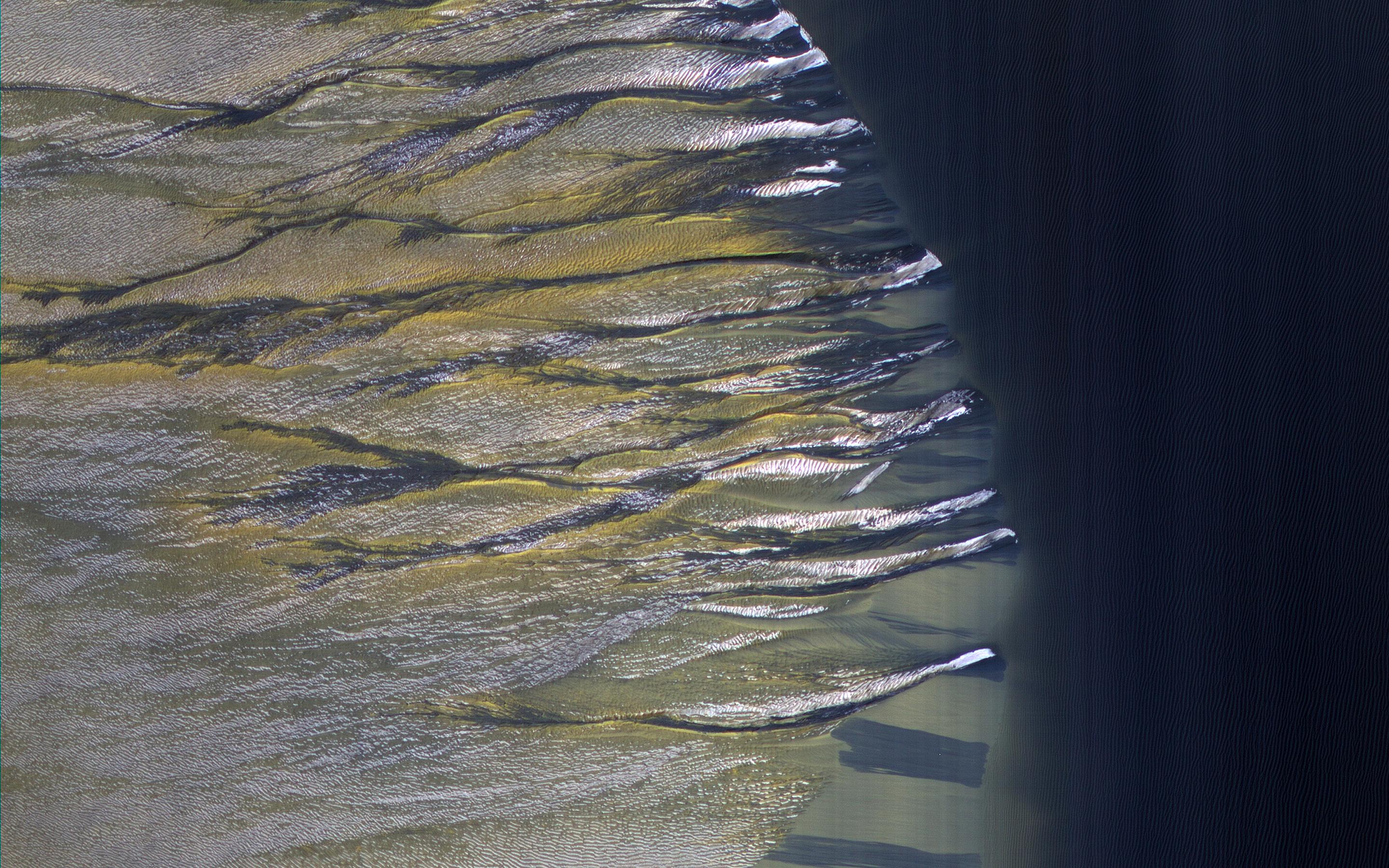
Click on image for larger versionThe dark sand dune at the center of this observation is covered in a blanket of white seasonal ice in the winter. In this Martian springtime image, the western slope of the dune is partly defrosted.
Bright patches of frost (white in enhanced color) are clearly visible and are made up of water and carbon dioxide ices. Dark streaks of sand have flowed down the dune's slope that sometimes covers the frost. These flows are caused by the rapid transformation of the frost from ice to gas as the sun heats the dune in the spring.
We can also see how these flows are diverted by the ripples on the dune. (The width of the cutout is around 520 meters.)
The map is projected here at a scale of 50 centimeters (19.7 inches) per pixel. (The original image scale is 50.5 centimeters [19.9 inches] per pixel [with 2 x 2 binning]; objects on the order of 151 centimeters [59.4 inches] across are resolved.) North is up.
The University of Arizona, in Tucson, operates HiRISE, which was built by Ball Aerospace & Technologies Corp., in Boulder, Colorado. NASA's Jet Propulsion Laboratory, a division of Caltech in Pasadena, California, manages the Mars Reconnaissance Orbiter Project for NASA's Science Mission Directorate, Washington.