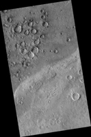
Map Projected Browse Image
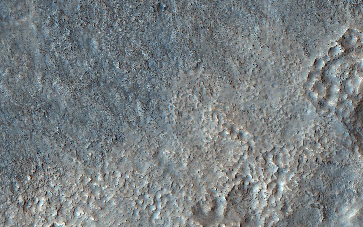
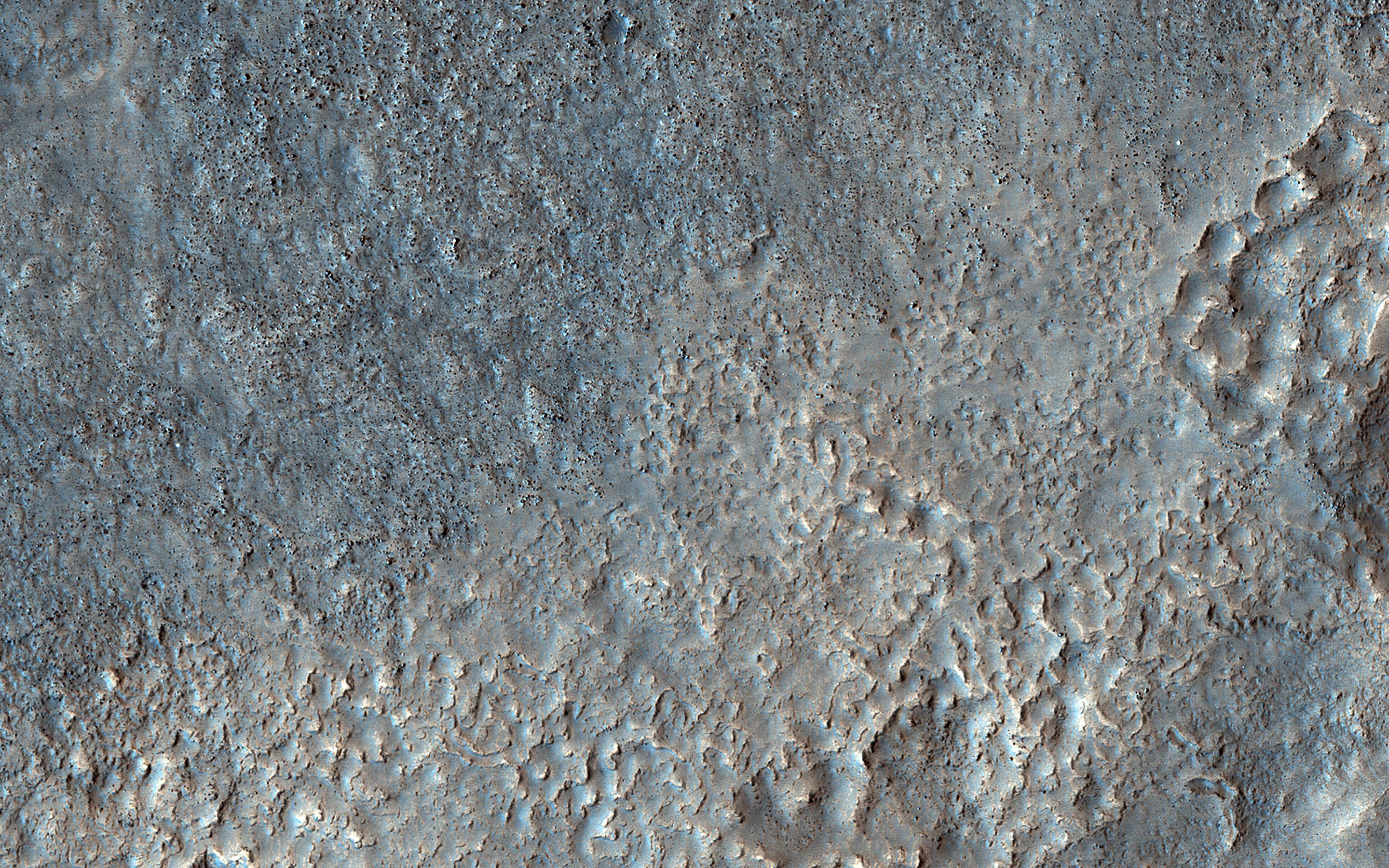
Click on image for larger versionOn this part of Mars there is an extensive surface brightness (albedo) boundary. One hypothesis is that this boundary marks a shoreline, from a time long ago when liquid water could have been stable on the surface of Mars.
With the resolution of HiRISE we can see that the reason one side of the boundary is darker than the other is due to the many boulders strewn across the darker side.
The map is projected here at a scale of 50 centimeters (19.7 inches) per pixel. (The original image scale is 64.8 centimeters [25.5 inches] per pixel [with 2 x 2 binning]; objects on the order of 194 centimeters [76.4 inches] across are resolved.) North is up.
This is a stereo pair with ESP_071699_2260.
The University of Arizona, in Tucson, operates HiRISE, which was built by Ball Aerospace & Technologies Corp., in Boulder, Colorado. NASA's Jet Propulsion Laboratory, a division of Caltech in Pasadena, California, manages the Mars Reconnaissance Orbiter Project for NASA's Science Mission Directorate, Washington.
