
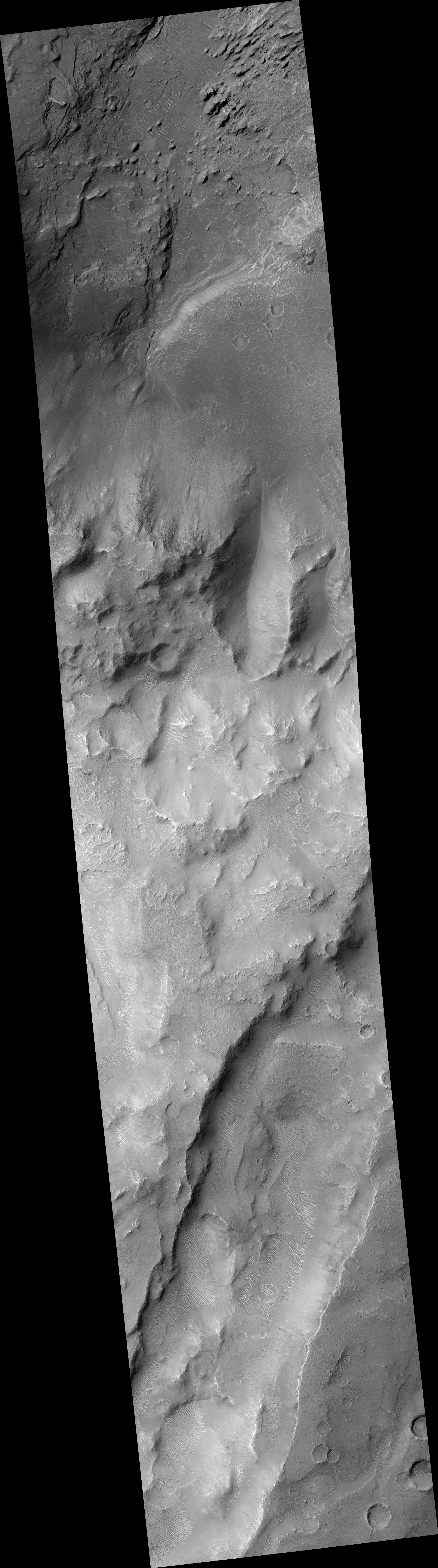
Map Projected Browse Image
Click on image for larger versionNorth of Ganges Chasma lies Orson Welles Crater, whose floor contains broken up blocks we call chaotic terrain and which is the source for the major outflow channel Shalbatana Vallis.
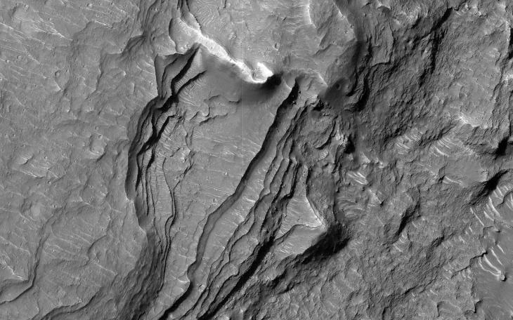
Between Orson Welles and Ganges Chasma is a region where materials subsided and collapsed over underground cavities that had once held aquifers. This image shows an elongated collapse pit. There is evidence that the pit was once filled with water as the groundwater erupted to the surface. A closer view shows fine sedimentary layers exposed by erosion.
The map is projected here at a scale of 50 centimeters (19.7 inches) per pixel. (The original image scale is 56.2 centimeters [22.1 inches] per pixel [with 2 x 2 binning]; objects on the order of 169 centimeters [66.5 inches] across are resolved.) North is up.
The University of Arizona, in Tucson, operates HiRISE, which was built by Ball Aerospace & Technologies Corp., in Boulder, Colorado. NASA's Jet Propulsion Laboratory, a division of Caltech in Pasadena, California, manages the Mars Reconnaissance Orbiter Project for NASA's Science Mission Directorate, Washington.