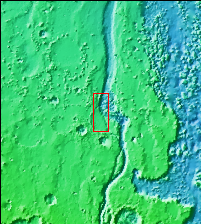
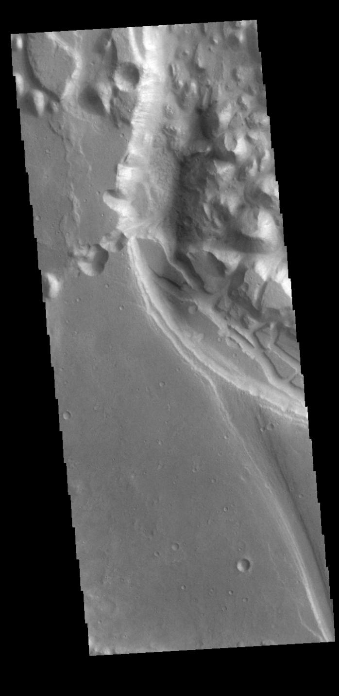
Context imageThis VIS image shows part of Xanthe Chaos. Xanthe Chaos is a small region of mesas located within Shalbatana Vallis.
In planetary nomenclature, the descriptor term chaos means "distinctive area of broken terrain". The general morphology of chaos is steep-sided mesas with intervening small valleys. With time and erosion the valleys widen and the mesas grow smaller. While on many planets chaos terrain results from tectonic forces, on Mars it is most likely that chaos terrain results from the release of melted subsurface ice.
Orbit Number: 86415 Latitude: 11.6822 Longitude: 317.621 Instrument: VIS Captured: 2021-06-07 17:18
Please see the THEMIS Data Citation Note for details on crediting THEMIS images.
NASA's Jet Propulsion Laboratory manages the 2001 Mars Odyssey mission for NASA's Science Mission Directorate, Washington, D.C. The Thermal Emission Imaging System (THEMIS) was developed by Arizona State University, Tempe, in collaboration with Raytheon Santa Barbara Remote Sensing. The THEMIS investigation is led by Dr. Philip Christensen at Arizona State University. Lockheed Martin Astronautics, Denver, is the prime contractor for the Odyssey project, and developed and built the orbiter. Mission operations are conducted jointly from Lockheed Martin and from JPL, a division of the California Institute of Technology in Pasadena.