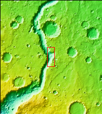
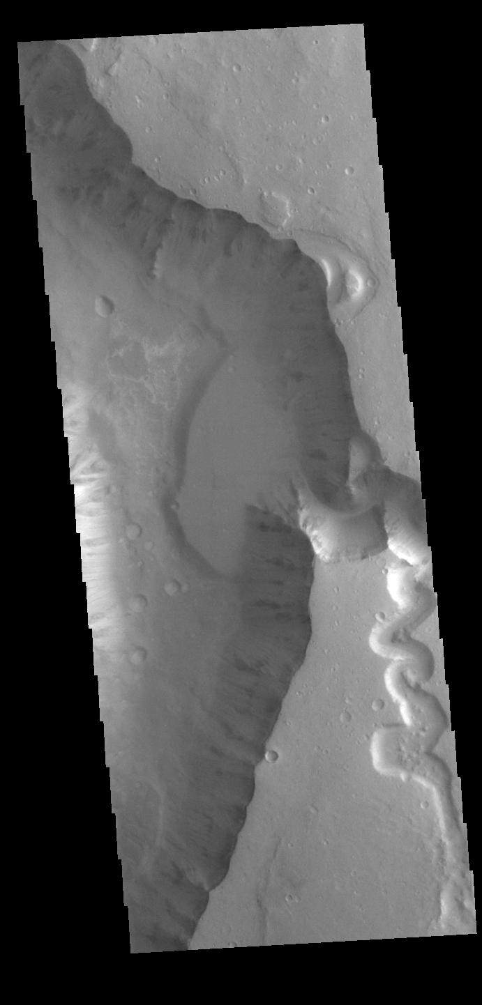
Context imageToday's VIS image shows a small section of Shalbatana Vallis. Located in Xanthe Terra, Shalbatana Vallis is an outflow channel carved by massive floods of escaping groundwater whose source lies far to the south of this image. This channel, and all others in this region, drain into Chryse Planitia. Shalbatana Vallis is 1029km long (639 miles). A small tributary channel is located on the right side of the image. The flat lying bench on the side of the main channel may be a delta deposit created by the tributary channel.
Orbit Number: 85866 Latitude: 3.02377 Longitude: 316.732 Instrument: VIS Captured: 2021-04-23 12:22
Please see the THEMIS Data Citation Note for details on crediting THEMIS images.
NASA's Jet Propulsion Laboratory manages the 2001 Mars Odyssey mission for NASA's Science Mission Directorate, Washington, D.C. The Thermal Emission Imaging System (THEMIS) was developed by Arizona State University, Tempe, in collaboration with Raytheon Santa Barbara Remote Sensing. The THEMIS investigation is led by Dr. Philip Christensen at Arizona State University. Lockheed Martin Astronautics, Denver, is the prime contractor for the Odyssey project, and developed and built the orbiter. Mission operations are conducted jointly from Lockheed Martin and from JPL, a division of the California Institute of Technology in Pasadena.
